Detailed Map of Foosland, Illinois
A detailed map of Foosland, Illinois, showing every building in its true location, the roads by name, and shaded topographical relief.
Read More
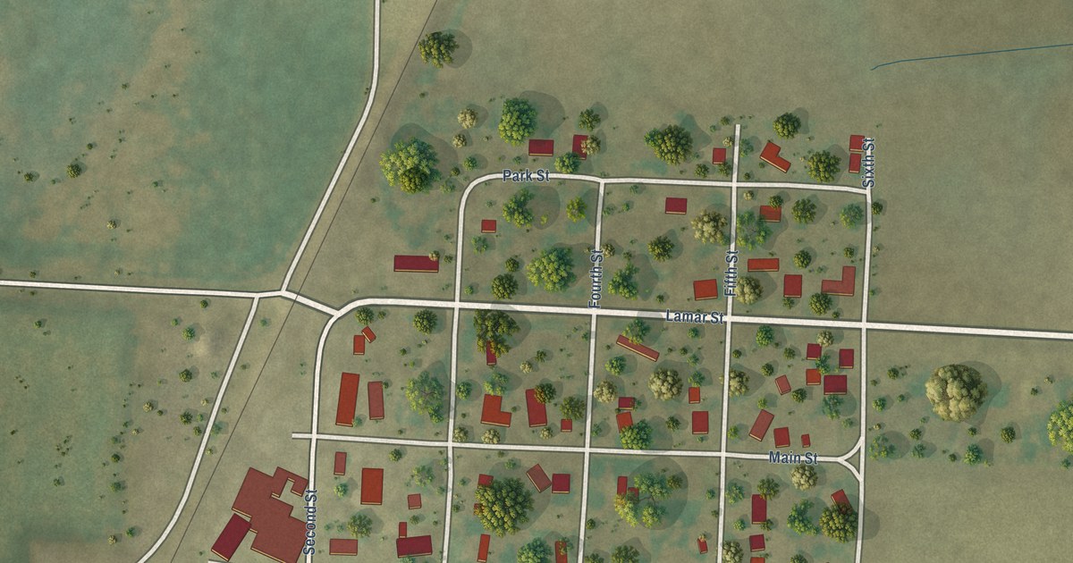
A detailed map of Foosland, Illinois, showing every building in its true location, the roads by name, and shaded topographical relief.
Read More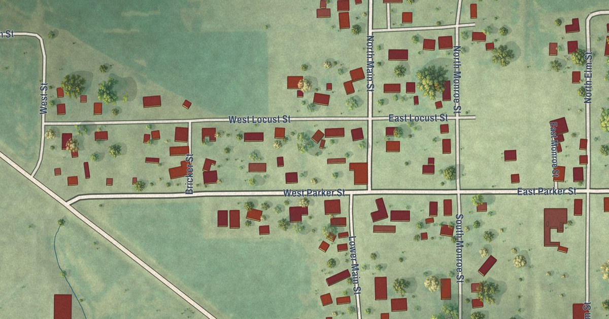
A detailed map of Parkersburg, Illinois, showing every building in its true location, the roads by name, and shaded topographical relief.
Read More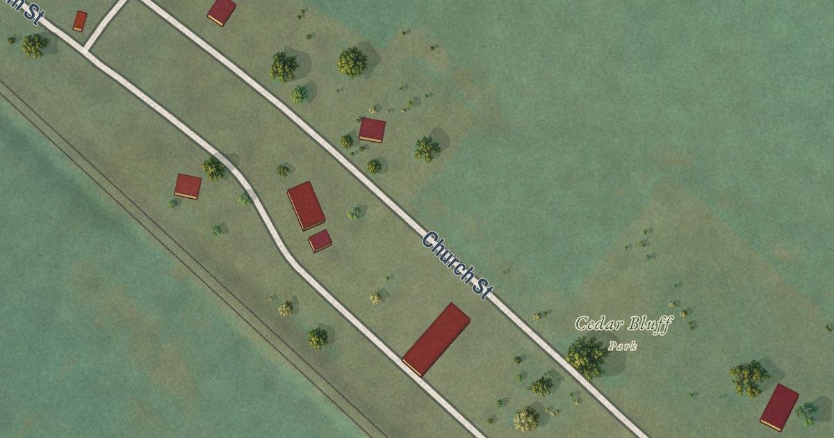
A detailed map of Fults, Illinois, showing every building in its true location, the roads by name, and shaded topographical relief.
Read More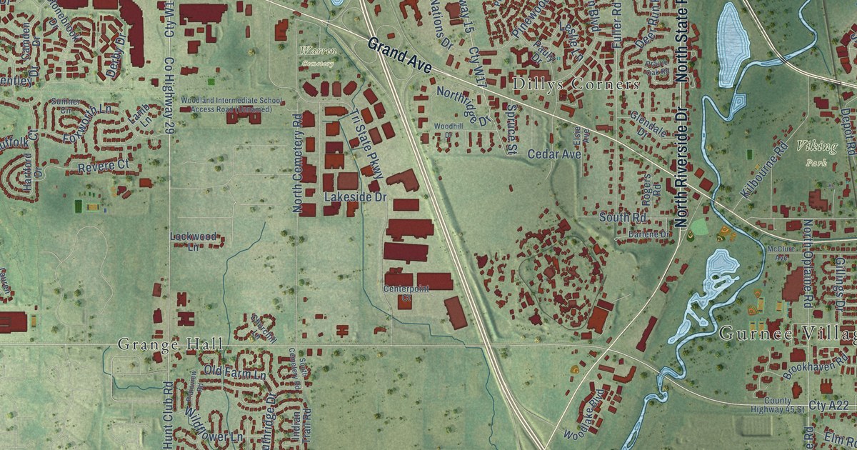
A detailed map of Gurnee, Illinois, showing every building in its true location, the roads by name, and shaded topographical relief.
Read More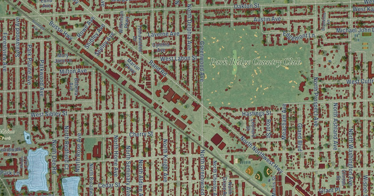
A detailed map of Park Ridge, Illinois, showing every building in its true location, the roads by name, and shaded topographical relief.
Read More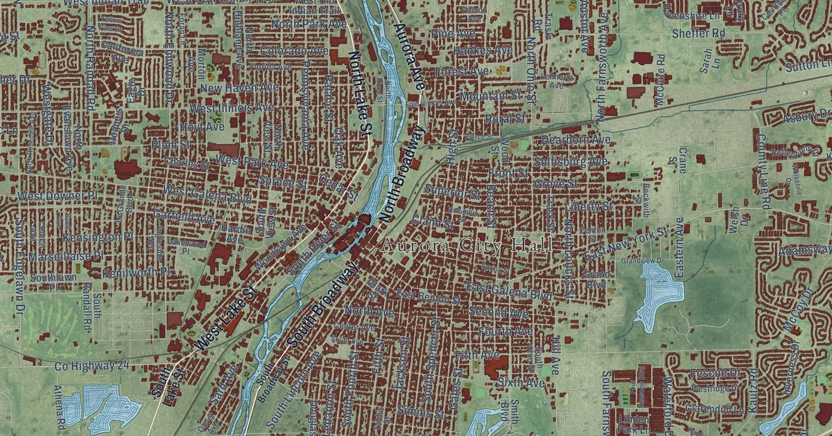
A detailed map of Aurora, Illinois, showing every building in its true location, the roads by name, and shaded topographical relief.
Read More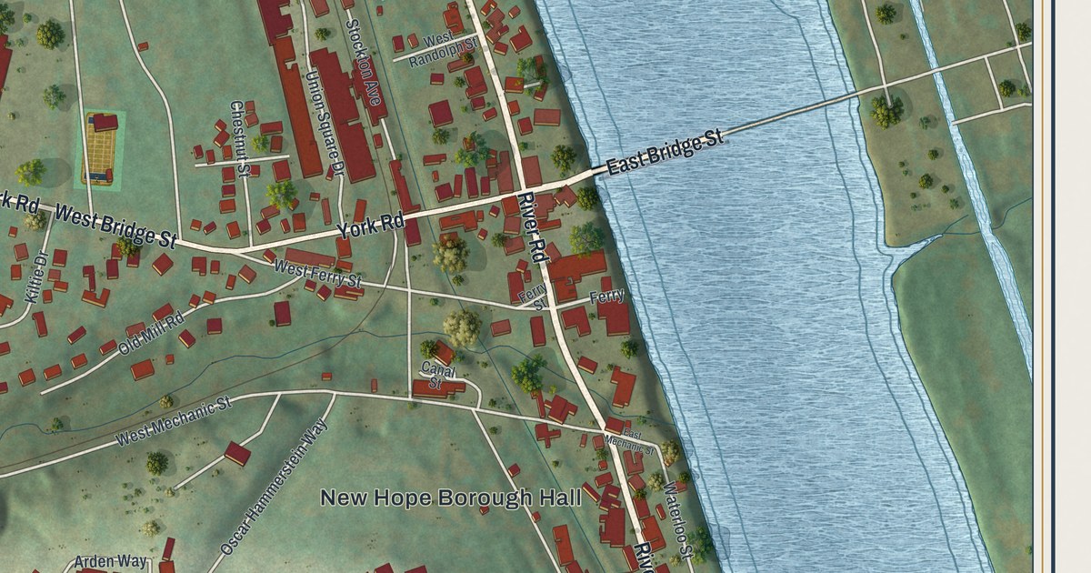
Find Bridge Street, Main Street and the Delaware on KNOWOL’s New Hope Borough map, and learn the story of the crossing’s covered bridge.
Read More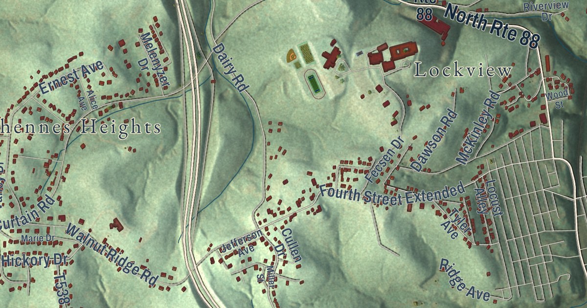
Follow a route from Jonestown up Bentleyville Road to Ginger Hill on this map of Fallowfield Township in Washington County, and learn what an 1871 county history said about its two towns, its mills and its churches.
Read More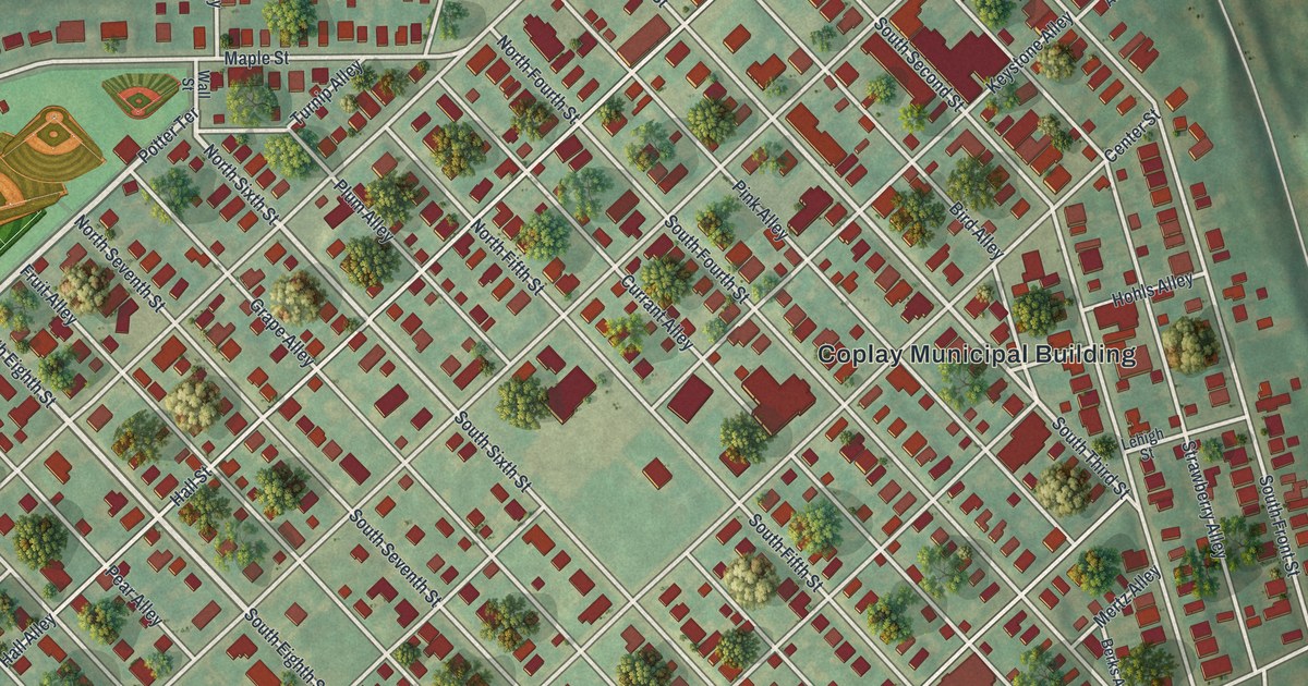
Coplay was once called Schreiber, then Lehigh Valley. This map of the Lehigh County borough shows its fruit-named alleys, Saylor Field, Coplay Cemetery and Hokendauqua Street, and tells how the name Coplay came to stick.
Read More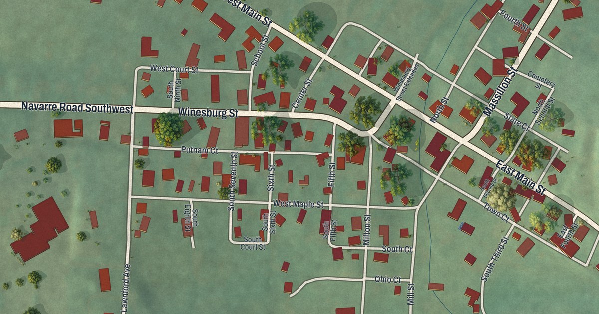
A detailed map of Wilmot, Ohio, showing every building in its true location, the roads by name, and shaded topographical relief.
Read More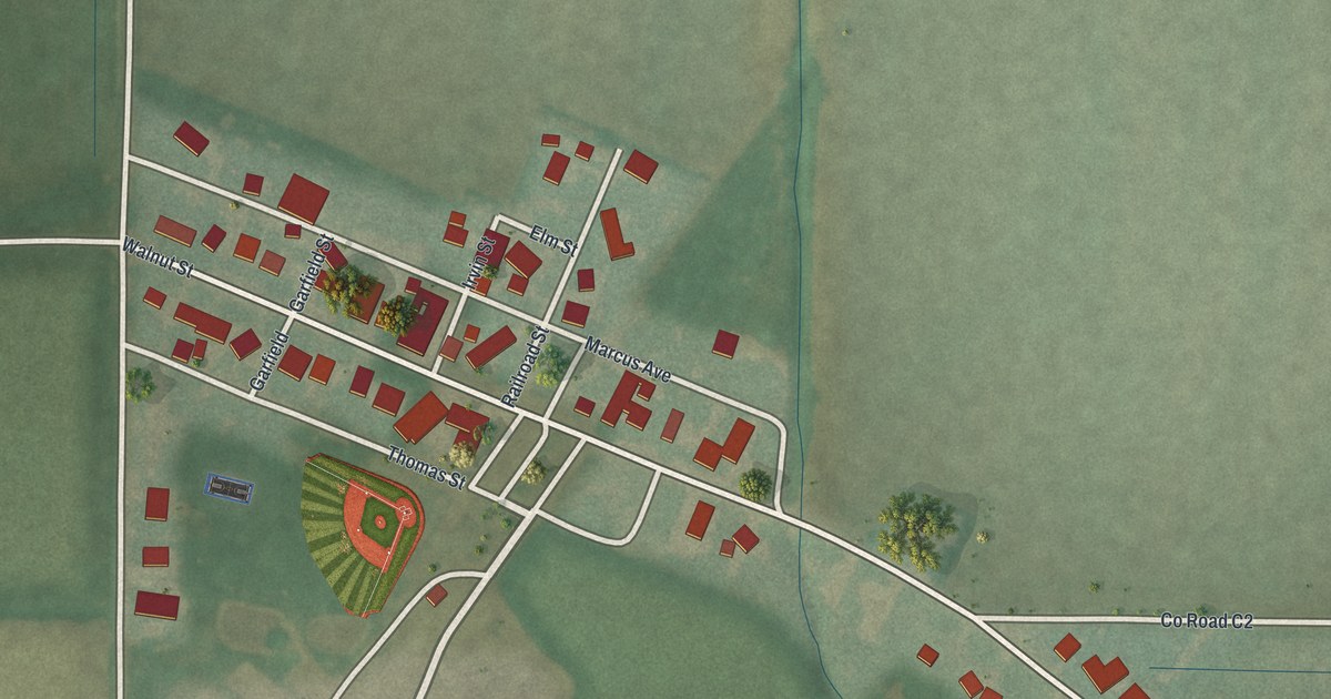
A detailed map of New Bavaria, Ohio, showing every building in its true location, the roads by name, and shaded topographical relief.
Read More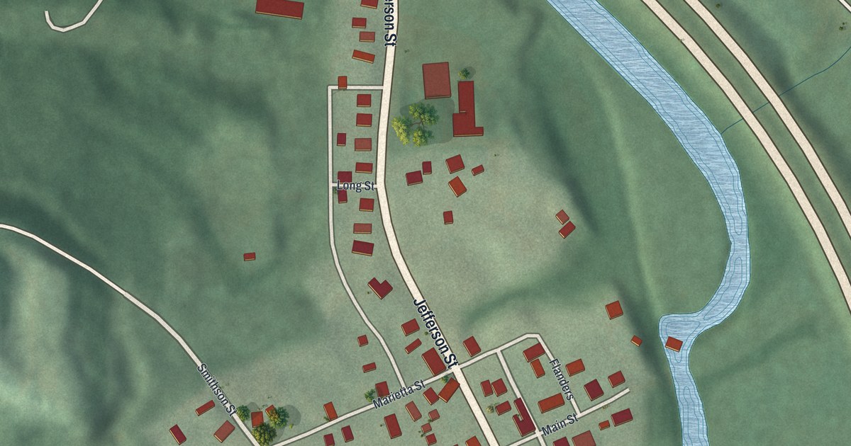
A detailed map of Dexter City, Ohio, showing every building in its true location, the roads by name, and shaded topographical relief.
Read More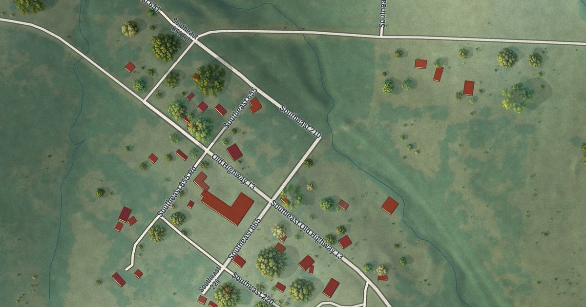
A detailed map of Vista, Missouri, showing every building in its true location, the roads by name, and shaded topographical relief.
Read More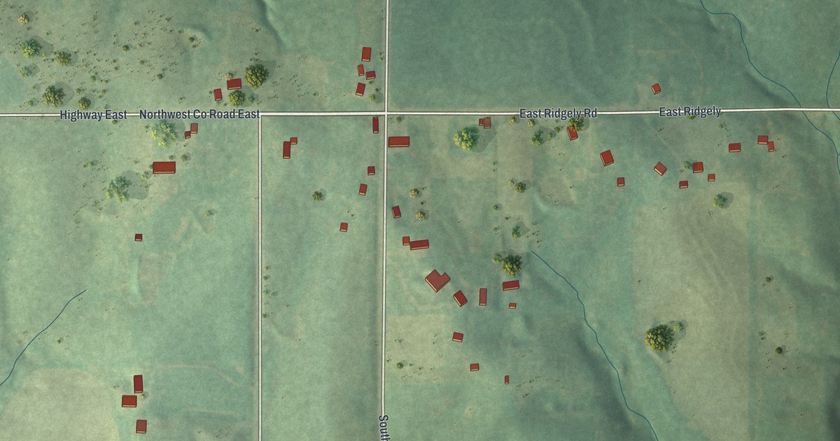
A detailed map of Ridgely, Missouri, showing every building in its true location, the roads by name, and shaded topographical relief.
Read More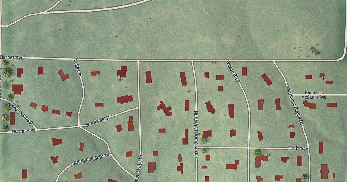
A detailed map of Oaks, Missouri, showing every building in its true location, the roads by name, and shaded topographical relief.
Read More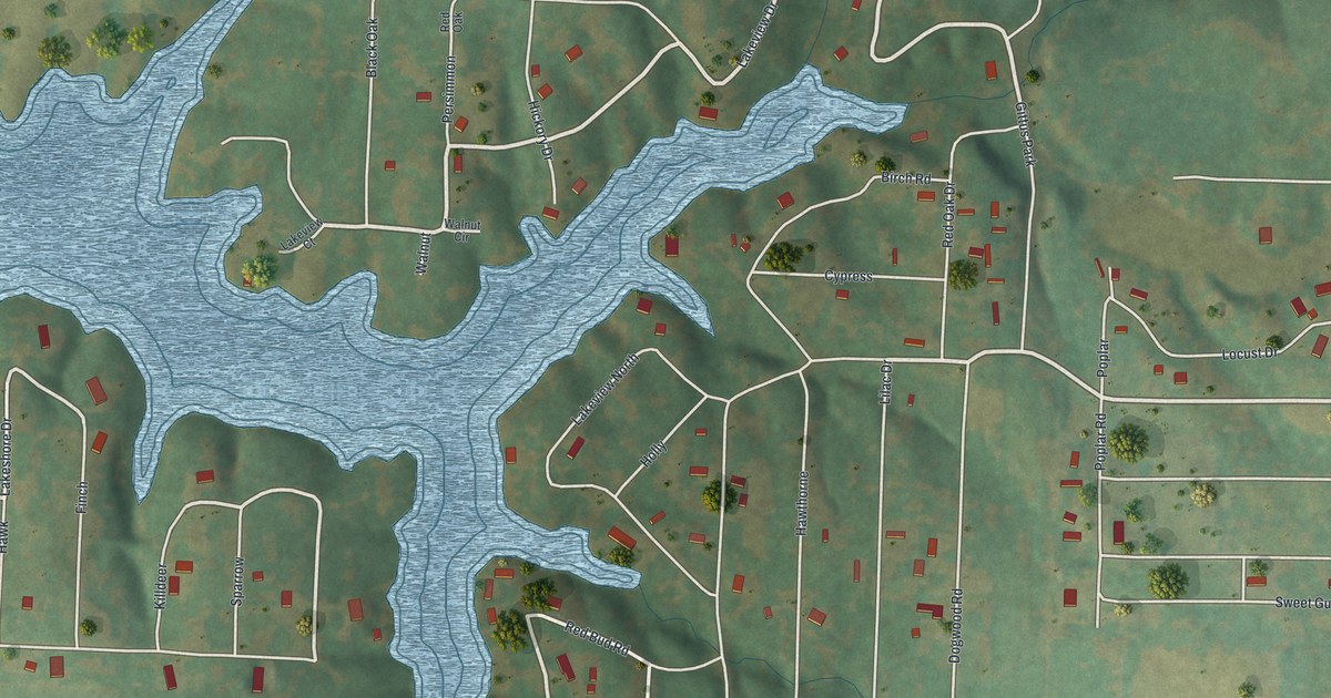
A detailed map of Lake Lafayette, Missouri, showing every building in its true location, the roads by name, and shaded topographical relief.
Read More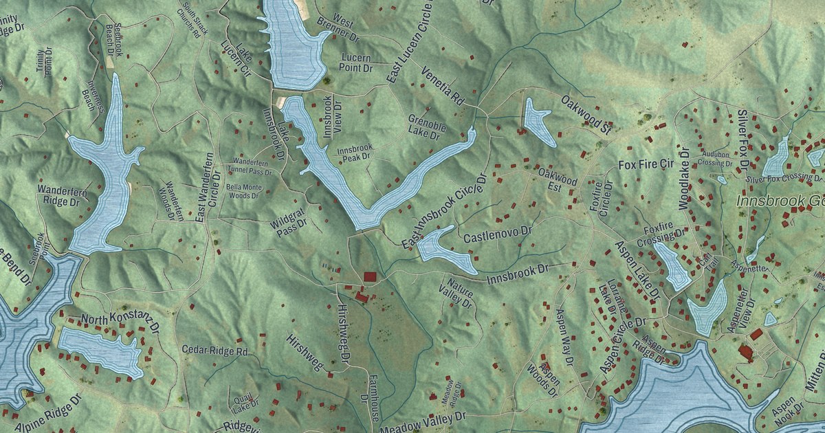
A detailed map of Innsbrook, Missouri, showing every building in its true location, the roads by name, and shaded topographical relief.
Read More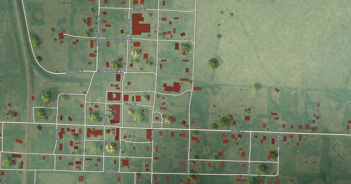
A detailed map of Hume, Missouri, showing every building in its true location, the roads by name, and shaded topographical relief.
Read More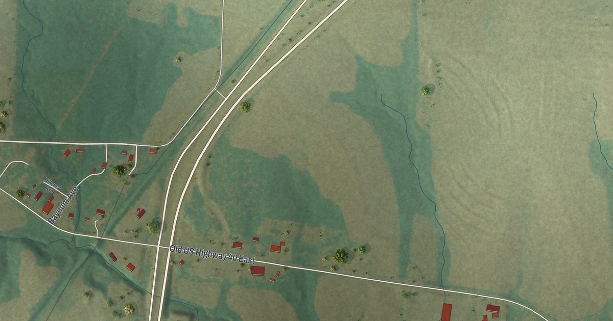
A detailed map of Kingdom City, Missouri, showing every building in its true location, the roads by name, and shaded topographical relief.
Read More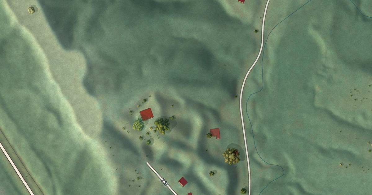
A detailed map of Iatan, Missouri, showing every building in its true location, the roads by name, and shaded topographical relief.
Read More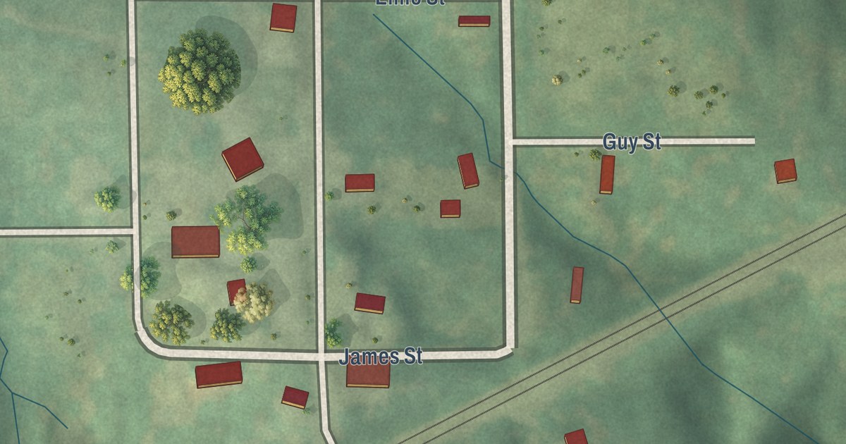
A detailed map of Elmira, Missouri, showing every building in its true location, the roads by name, and shaded topographical relief.
Read More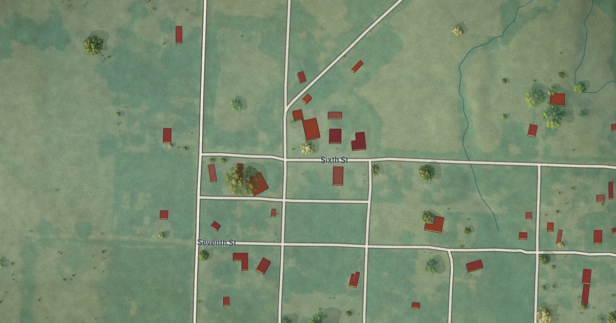
A detailed map of Foster, Missouri, showing every building in its true location, the roads by name, and shaded topographical relief.
Read More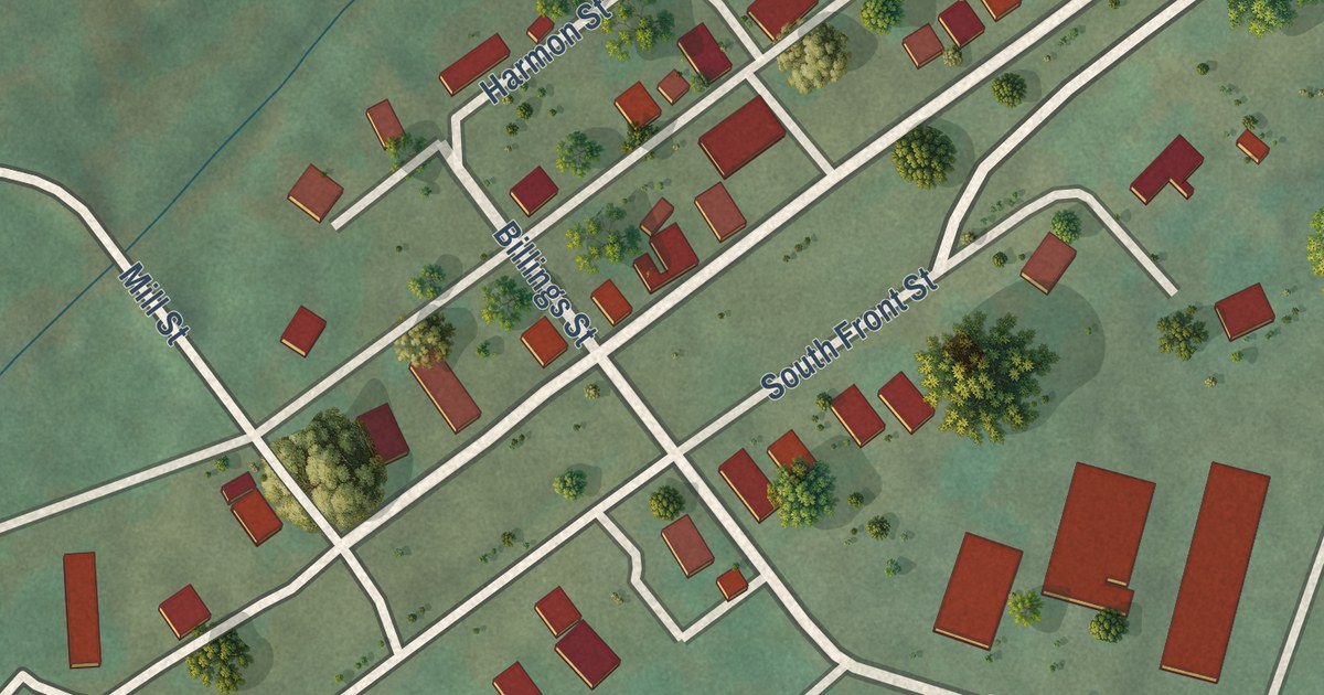
A detailed map of Des Arc, Missouri, showing every building in its true location, the roads by name, and shaded topographical relief.
Read More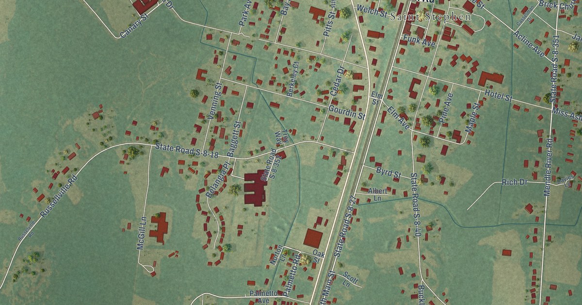
A detailed map of St. Stephen, South Carolina, showing every building in its true location, the roads by name, and shaded topographical relief.
Read More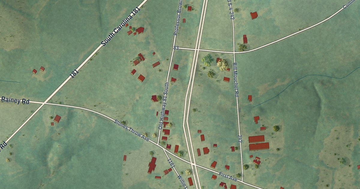
A detailed map of Starr, South Carolina, showing every building in its true location, the roads by name, and shaded topographical relief.
Read More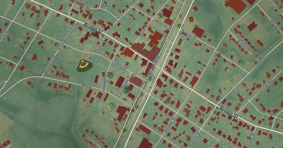
A detailed map of St. Matthews, South Carolina, showing every building in its true location, the roads by name, and shaded topographical relief.
Read More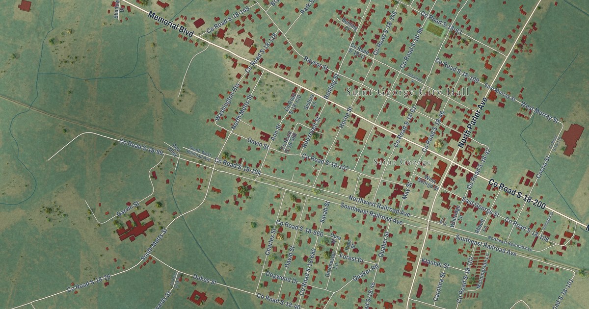
A detailed map of St. George, South Carolina, showing every building in its true location, the roads by name, and shaded topographical relief.
Read More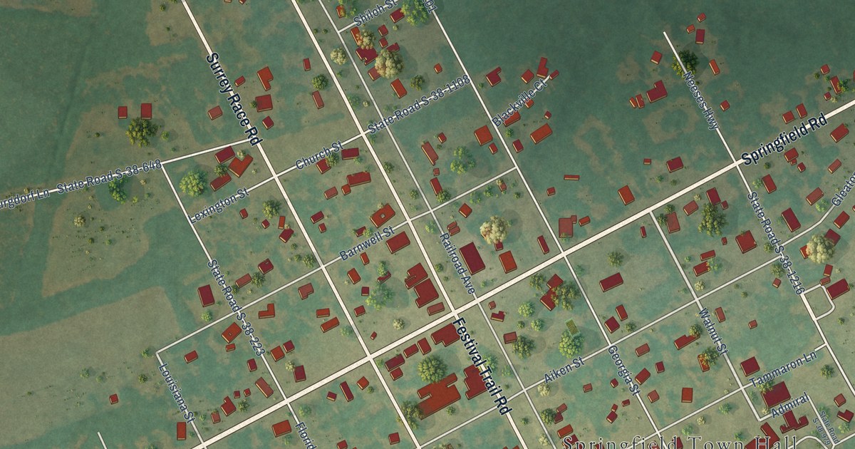
A detailed map of Springfield, South Carolina, showing every building in its true location, the roads by name, and shaded topographical relief.
Read More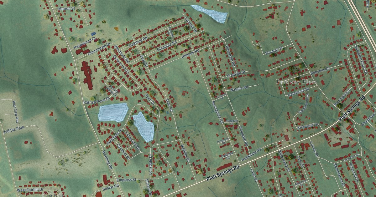
A detailed map of Springdale, South Carolina, showing every building in its true location, the roads by name, and shaded topographical relief.
Read More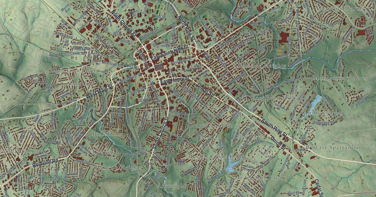
A detailed map of Spartanburg, South Carolina, showing every building in its true location, the roads by name, and shaded topographical relief.
Read More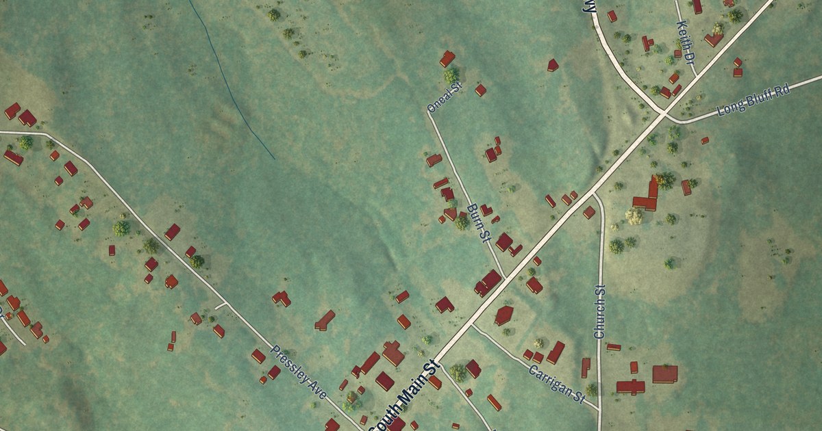
A detailed map of Society Hill, South Carolina, showing every building in its true location, the roads by name, and shaded topographical relief.
Read More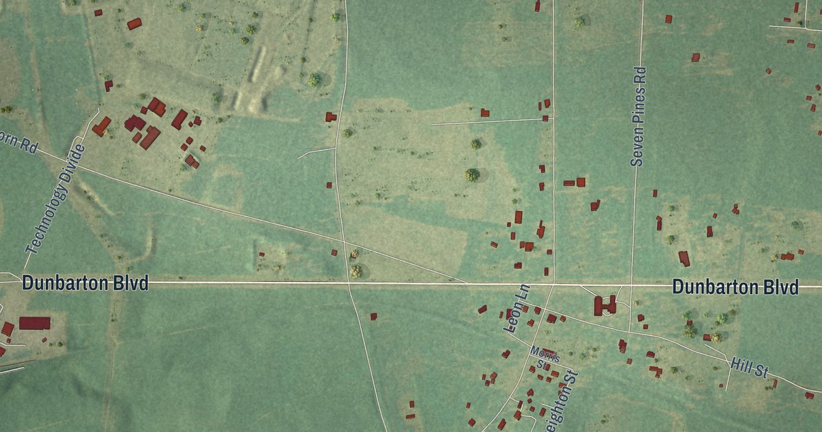
A detailed map of Snelling, South Carolina, showing every building in its true location, the roads by name, and shaded topographical relief.
Read More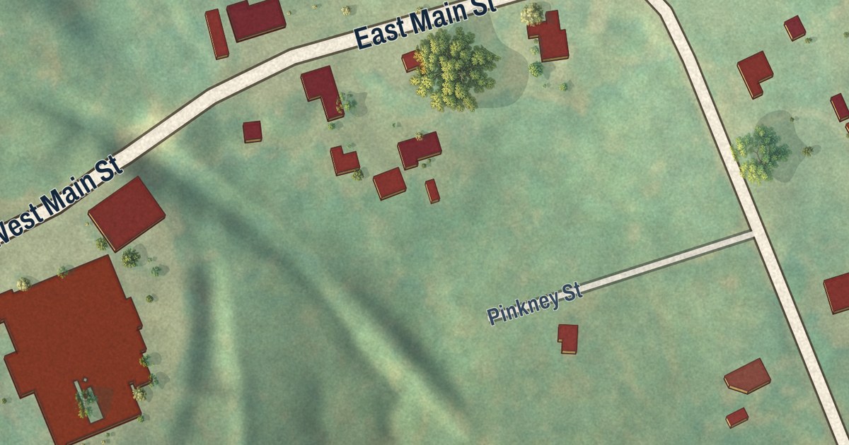
A detailed map of Smyrna, South Carolina, showing every building in its true location, the roads by name, and shaded topographical relief.
Read More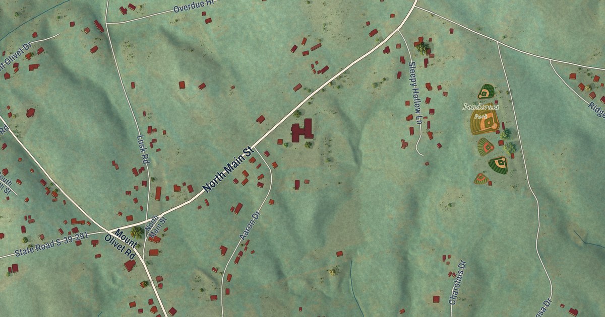
A detailed map of Six Mile, South Carolina, showing every building in its true location, the roads by name, and shaded topographical relief.
Read More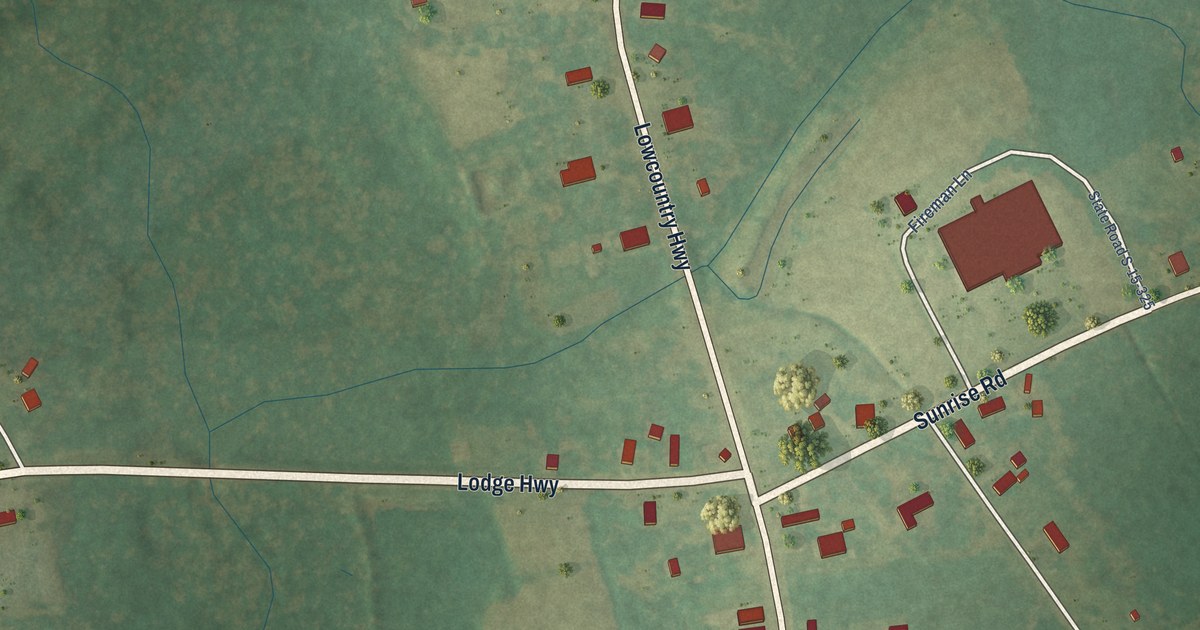
A detailed map of Smoaks, South Carolina, showing every building in its true location, the roads by name, and shaded topographical relief.
Read More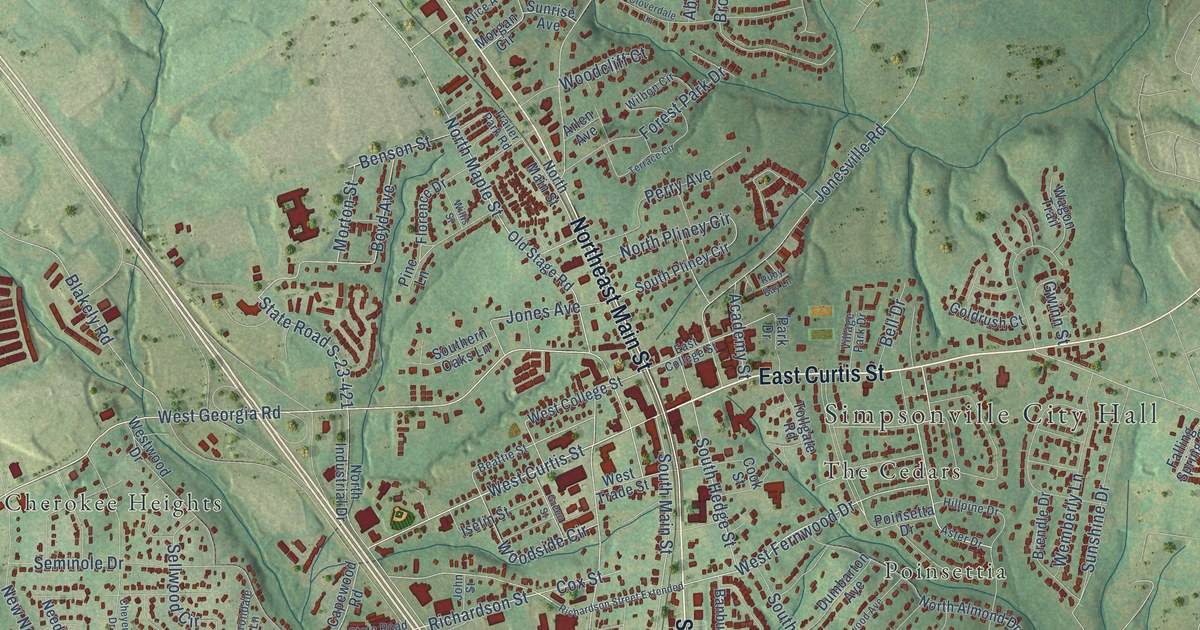
A detailed map of Simpsonville, South Carolina, showing every building in its true location, the roads by name, and shaded topographical relief.
Read More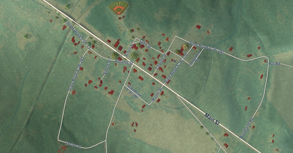
A detailed map of Silverstreet, South Carolina, showing every building in its true location, the roads by name, and shaded topographical relief.
Read More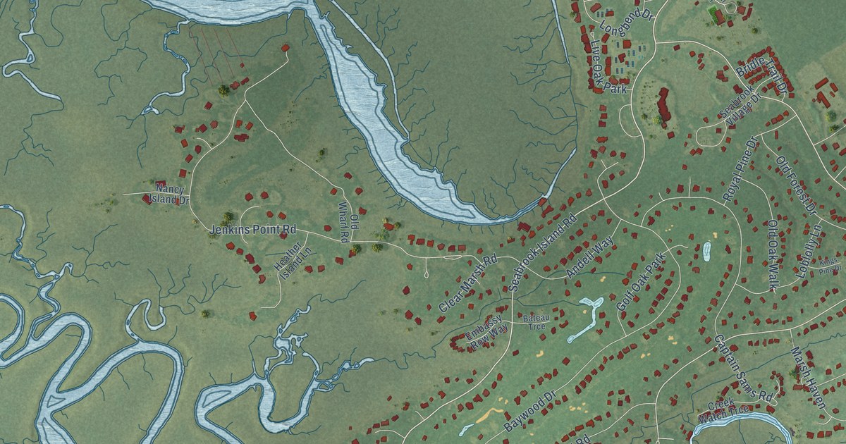
A detailed map of Seabrook Island, South Carolina, showing every building in its true location, the roads by name, and shaded topographical relief.
Read More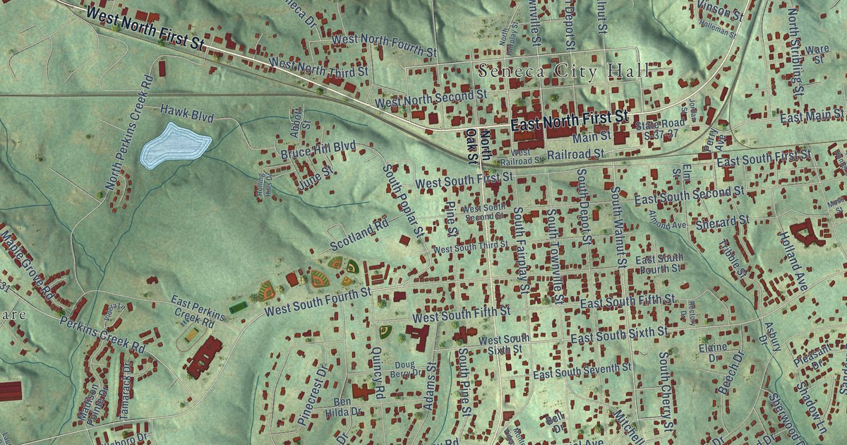
A detailed map of Seneca, South Carolina, showing every building in its true location, the roads by name, and shaded topographical relief.
Read More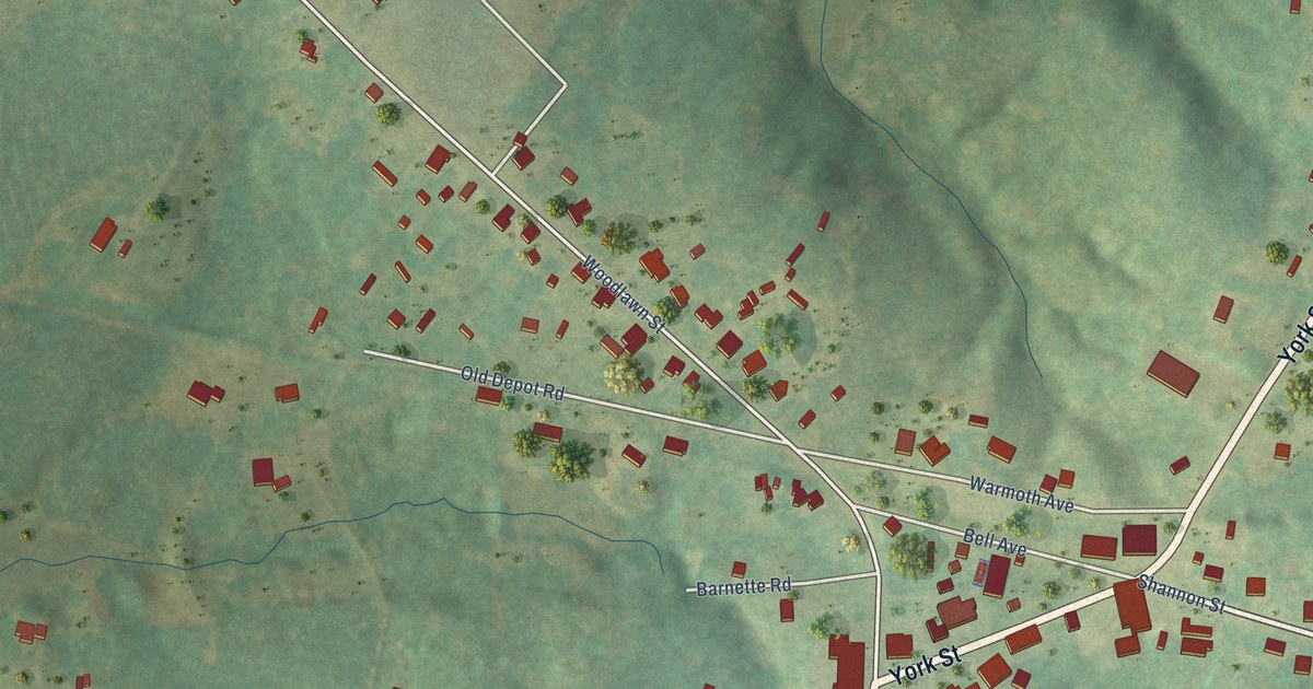
A detailed map of Sharon, South Carolina, showing every building in its true location, the roads by name, and shaded topographical relief.
Read More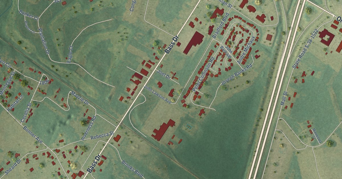
A detailed map of Santee, South Carolina, showing every building in its true location, the roads by name, and shaded topographical relief.
Read More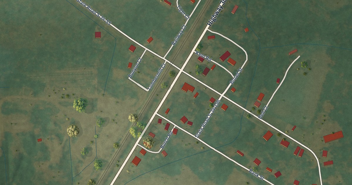
A detailed map of Sellers, South Carolina, showing every building in its true location, the roads by name, and shaded topographical relief.
Read More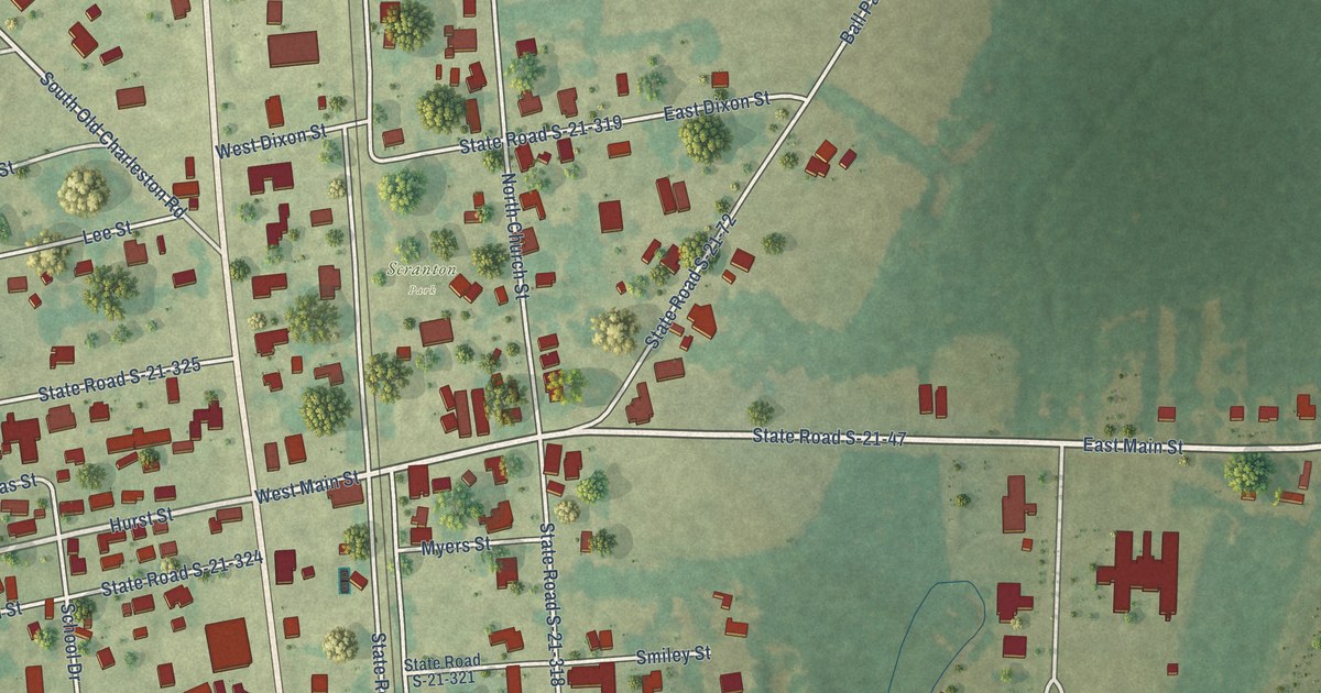
A detailed map of Scranton, South Carolina, showing every building in its true location, the roads by name, and shaded topographical relief.
Read More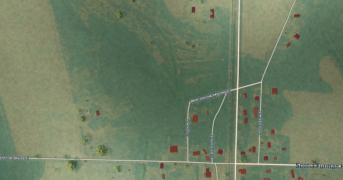
A detailed map of Scotia, South Carolina, showing every building in its true location, the roads by name, and shaded topographical relief.
Read More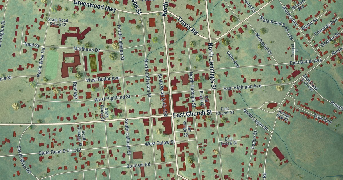
A detailed map of Saluda, South Carolina, showing every building in its true location, the roads by name, and shaded topographical relief.
Read More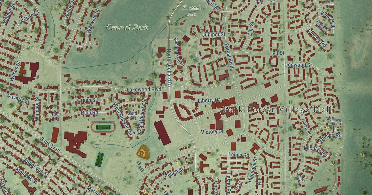
A detailed map of Park Forest, Illinois, showing every building in its true location, the roads by name, and shaded topographical relief.
Read More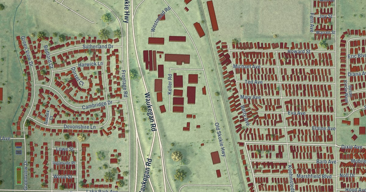
A detailed map of Park City, Illinois, showing every building in its true location, the roads by name, and shaded topographical relief.
Read More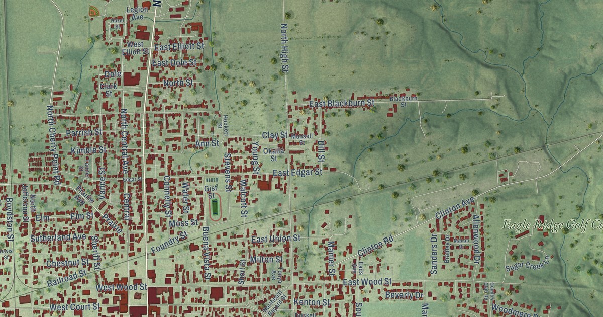
A detailed map of Paris, Illinois, showing every building in its true location, the roads by name, and shaded topographical relief.
Read More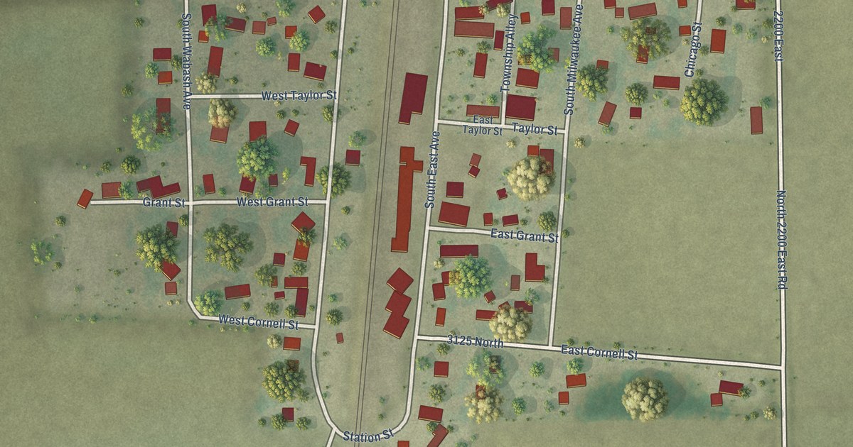
A detailed map of Papineau, Illinois, showing every building in its true location, the roads by name, and shaded topographical relief.
Read More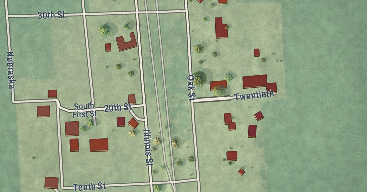
A detailed map of Panola, Illinois, showing every building in its true location, the roads by name, and shaded topographical relief.
Read More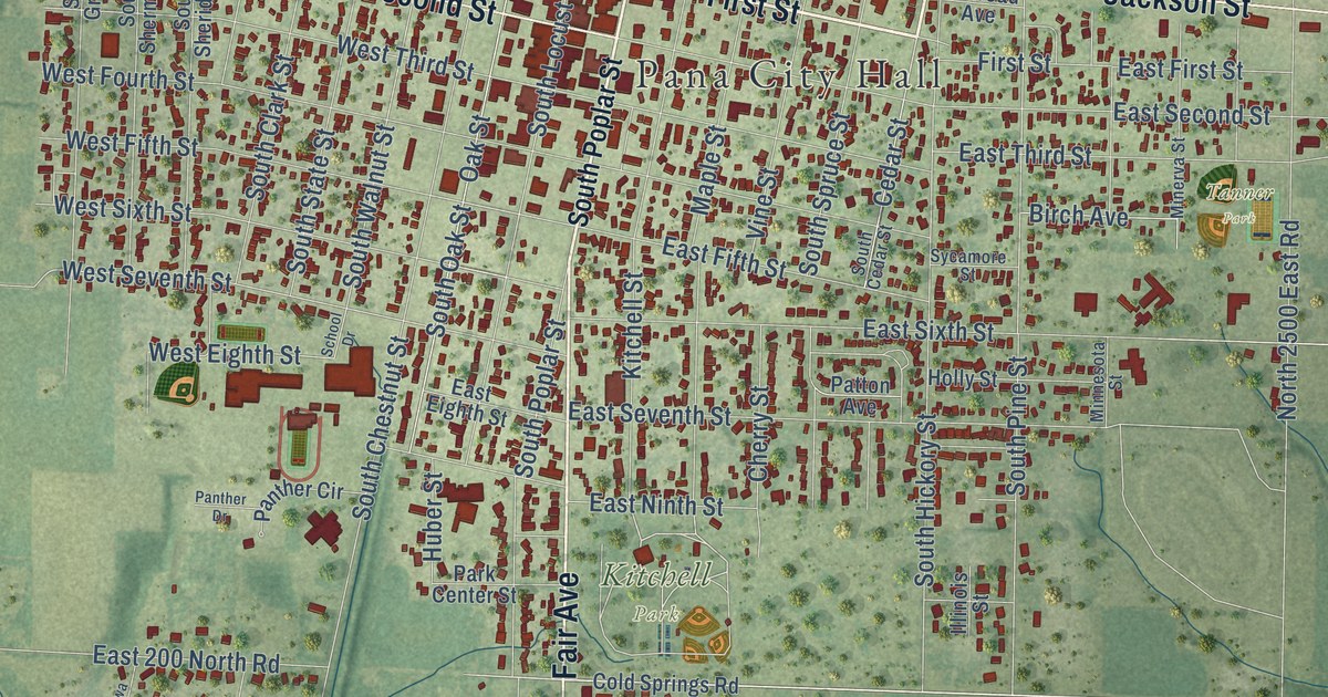
A detailed map of Pana, Illinois, showing every building in its true location, the roads by name, and shaded topographical relief.
Read More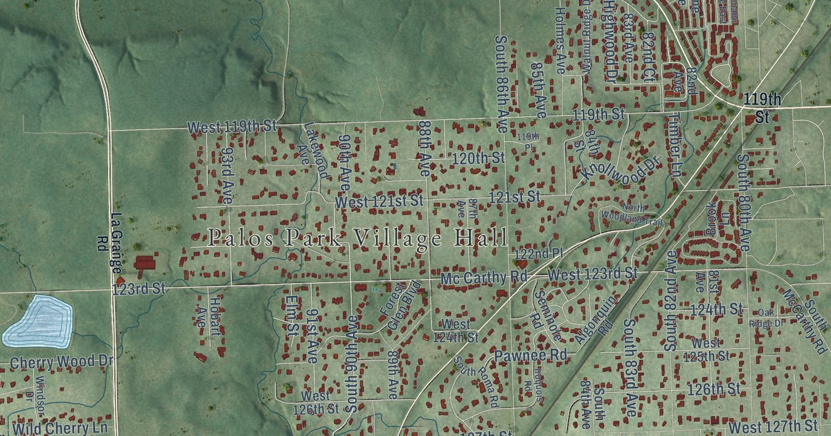
A detailed map of Palos Park, Illinois, showing every building in its true location, the roads by name, and shaded topographical relief.
Read More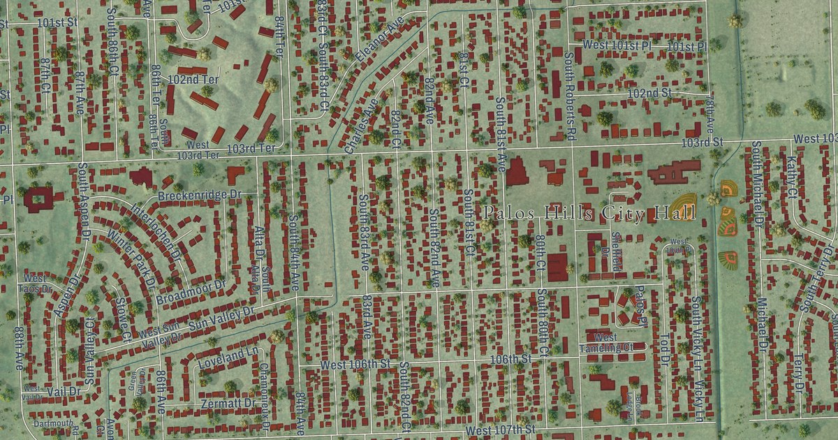
A detailed map of Palos Hills, Illinois, showing every building in its true location, the roads by name, and shaded topographical relief.
Read More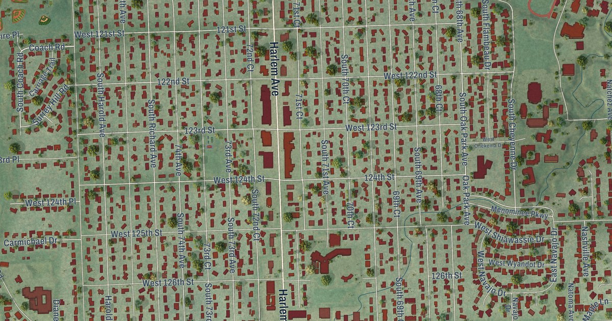
A detailed map of Palos Heights, Illinois, showing every building in its true location, the roads by name, and shaded topographical relief.
Read More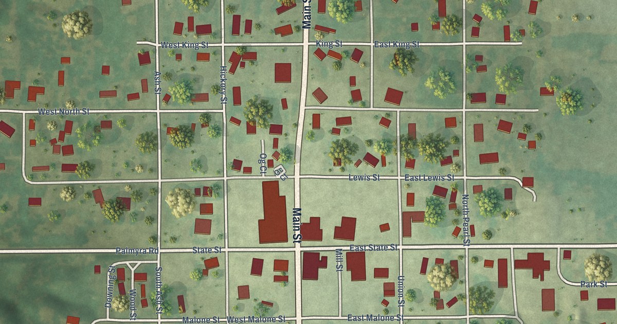
A detailed map of Palmyra, Illinois, showing every building in its true location, the roads by name, and shaded topographical relief.
Read More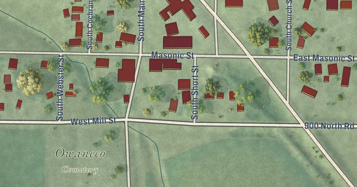
A detailed map of Owaneco, Illinois, showing every building in its true location, the roads by name, and shaded topographical relief.
Read More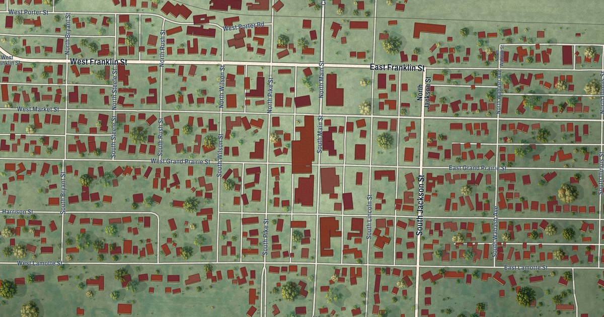
A detailed map of Palestine, Illinois, showing every building in its true location, the roads by name, and shaded topographical relief.
Read More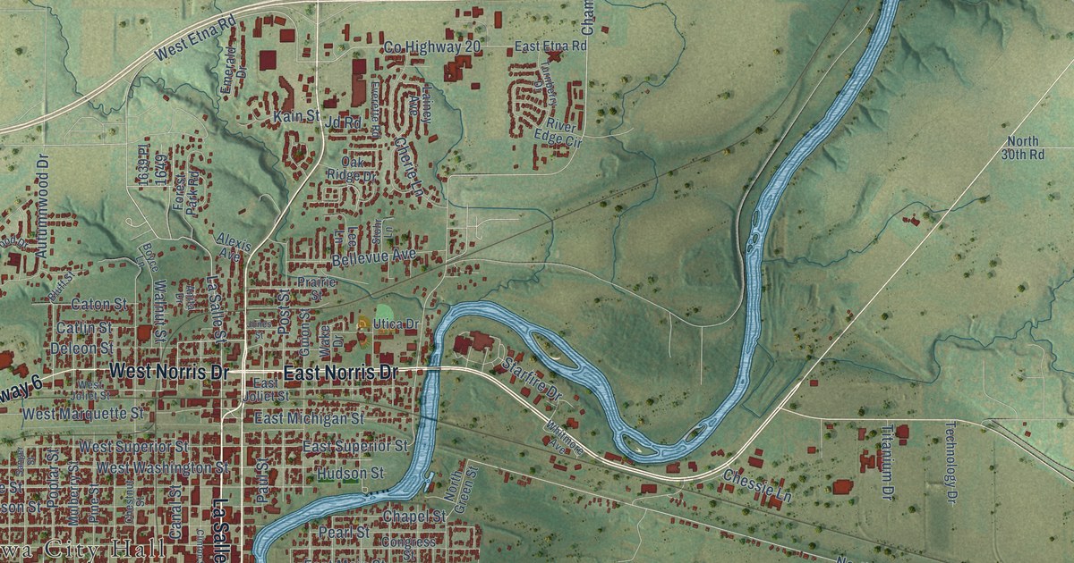
A detailed map of Ottawa, Illinois, showing every building in its true location, the roads by name, and shaded topographical relief.
Read More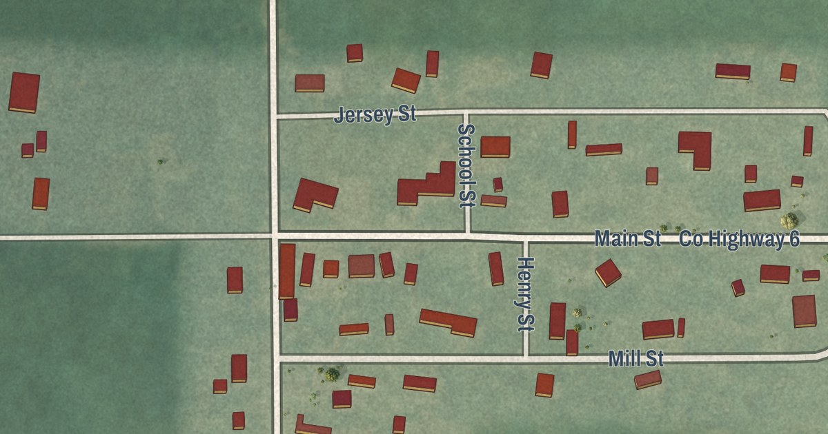
A detailed map of Otterville, Illinois, showing every building in its true location, the roads by name, and shaded topographical relief.
Read More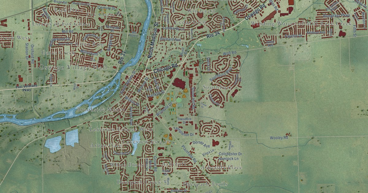
A detailed map of Oswego, Illinois, showing every building in its true location, the roads by name, and shaded topographical relief.
Read More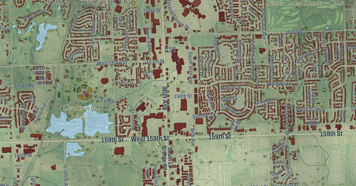
A detailed map of Orland Park, Illinois, showing every building in its true location, the roads by name, and shaded topographical relief.
Read More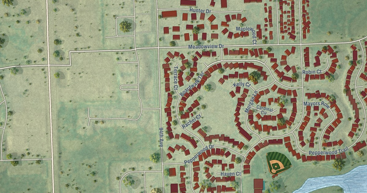
A detailed map of Orland Hills, Illinois, showing every building in its true location, the roads by name, and shaded topographical relief.
Read More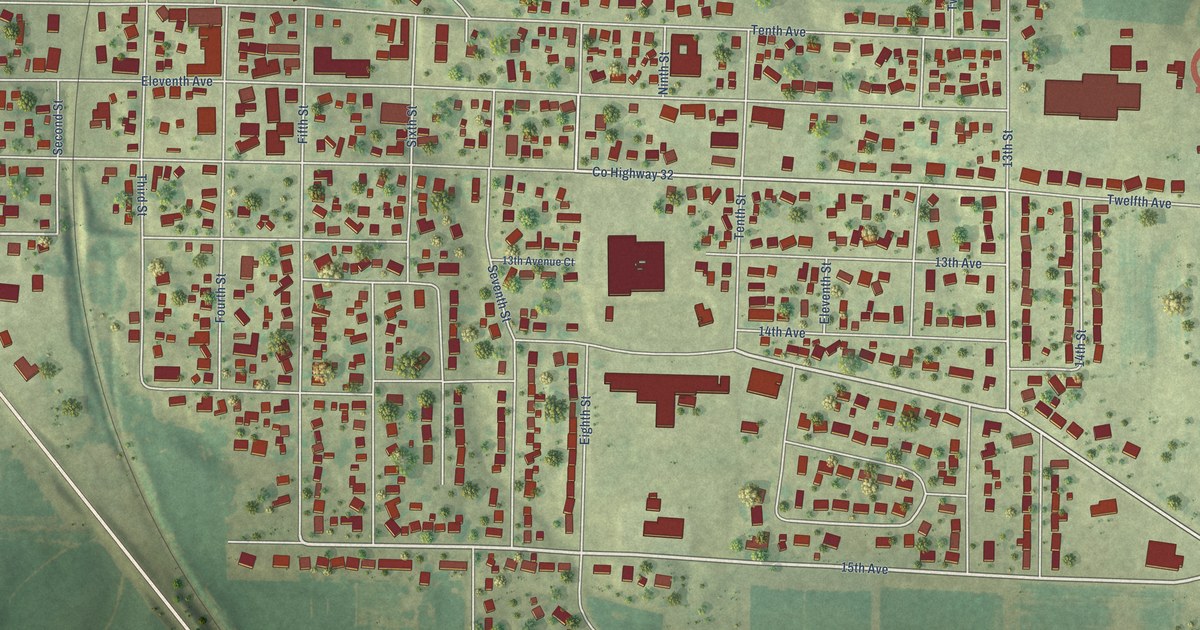
A detailed map of Orion, Illinois, showing every building in its true location, the roads by name, and shaded topographical relief.
Read More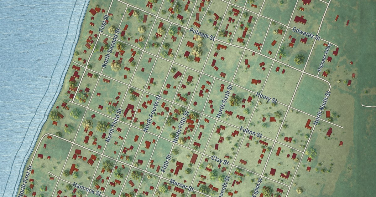
A detailed map of Oquawka, Illinois, showing every building in its true location, the roads by name, and shaded topographical relief.
Read More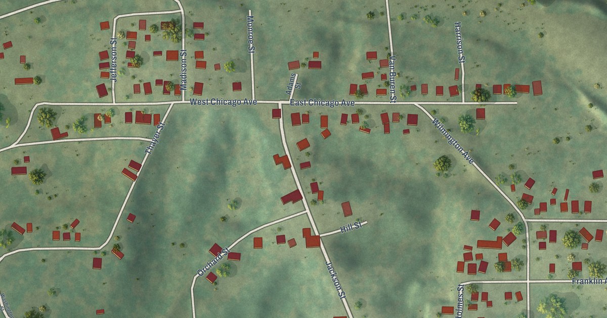
A detailed map of Orient, Illinois, showing every building in its true location, the roads by name, and shaded topographical relief.
Read More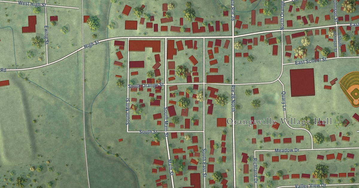
A detailed map of Orangeville, Illinois, showing every building in its true location, the roads by name, and shaded topographical relief.
Read More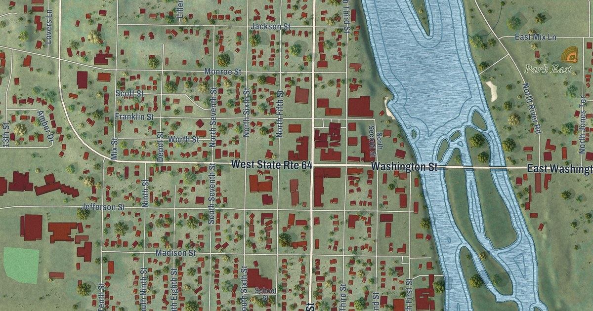
A detailed map of Oregon, Illinois, showing every building in its true location, the roads by name, and shaded topographical relief.
Read More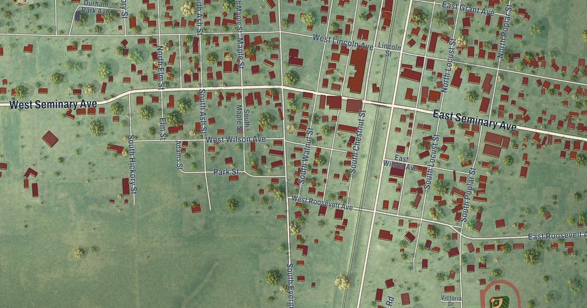
A detailed map of Onarga, Illinois, showing every building in its true location, the roads by name, and shaded topographical relief.
Read More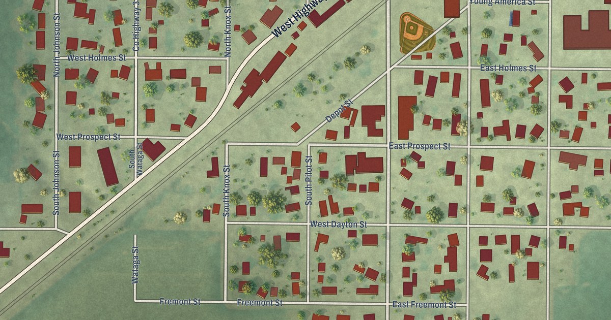
A detailed map of Oneida, Illinois, showing every building in its true location, the roads by name, and shaded topographical relief.
Read More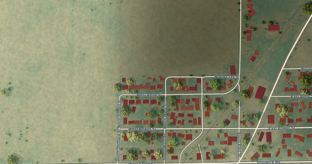
A detailed map of Oreana, Illinois, showing every building in its true location, the roads by name, and shaded topographical relief.
Read More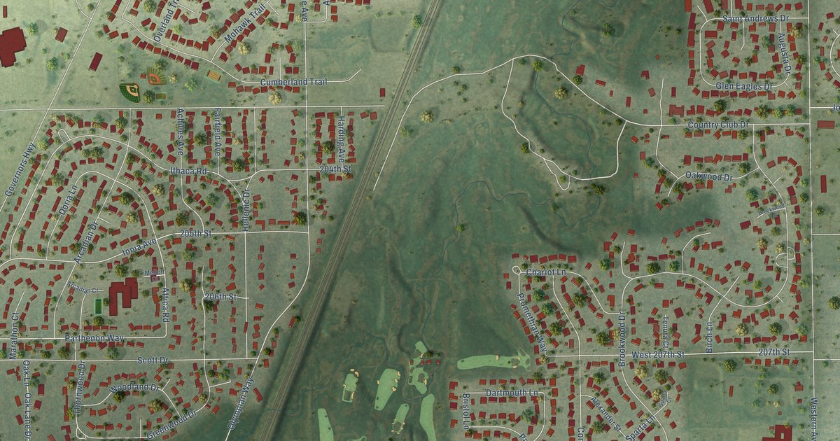
A detailed map of Olympia Fields, Illinois, showing every building in its true location, the roads by name, and shaded topographical relief.
Read More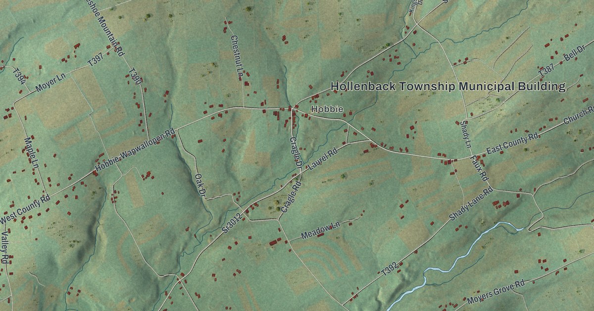
A detailed map of Hollenback, Pennsylvania, showing every building in its true location, the roads by name, and shaded topographical relief.
Read More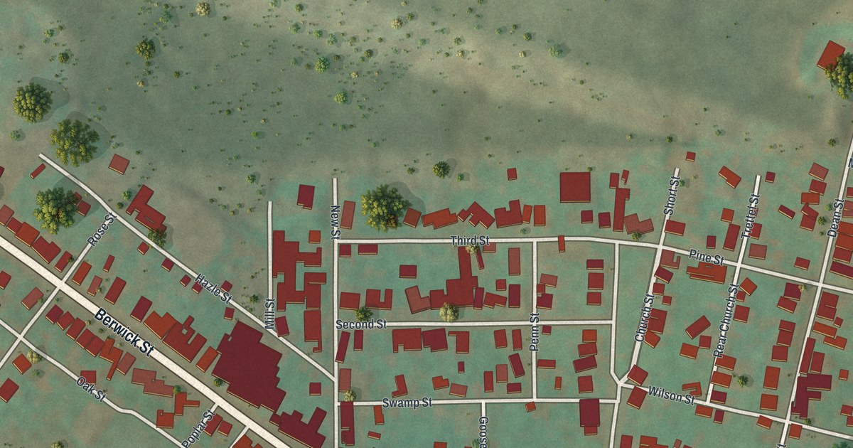
A detailed map of Beaver Meadows, Pennsylvania, showing every building in its true location, the roads by name, and shaded topographical relief.
Read More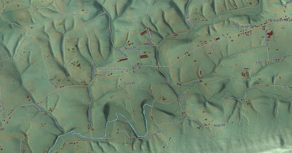
A detailed map of Upper Mahantongo, Pennsylvania, showing every building in its true location, the roads by name, and shaded topographical relief.
Read More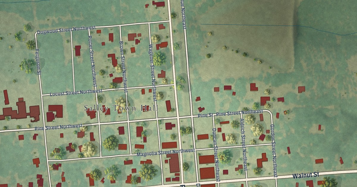
A detailed map of Salley, South Carolina, showing every building in its true location, the roads by name, and shaded topographical relief.
Read More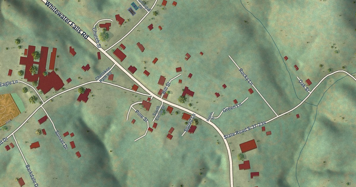
A detailed map of Salem, South Carolina, showing every building in its true location, the roads by name, and shaded topographical relief.
Read More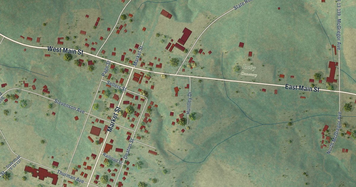
A detailed map of Ruby, South Carolina, showing every building in its true location, the roads by name, and shaded topographical relief.
Read More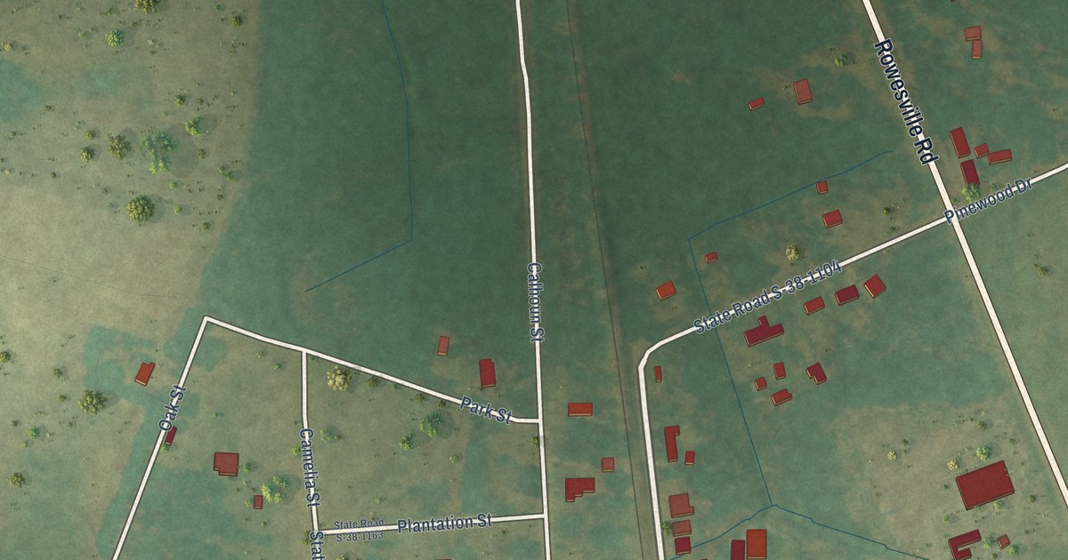
A detailed map of Rowesville, South Carolina, showing every building in its true location, the roads by name, and shaded topographical relief.
Read More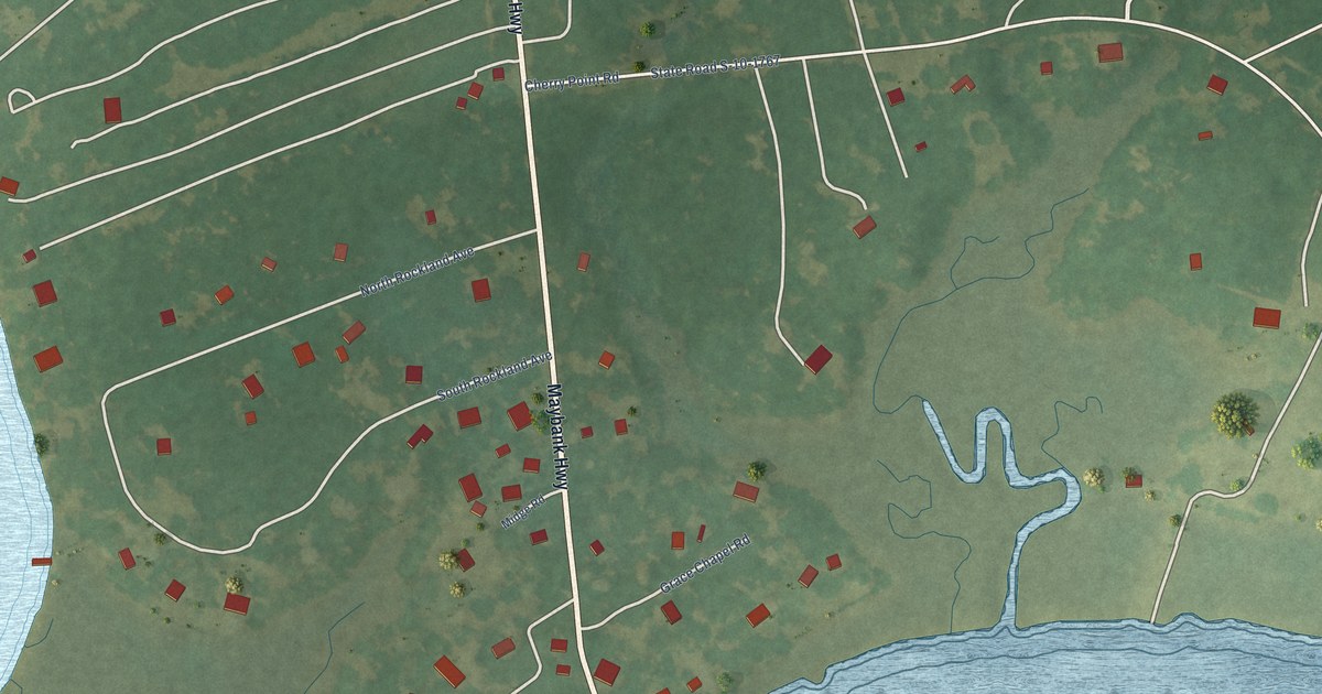
A detailed map of Rockville, South Carolina, showing every building in its true location, the roads by name, and shaded topographical relief.
Read More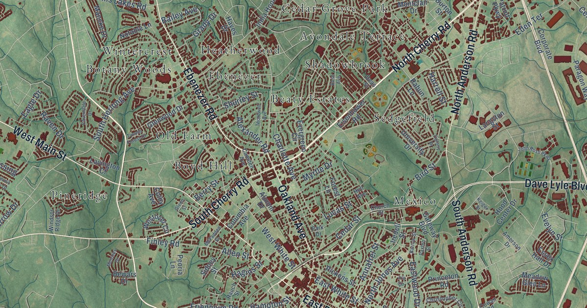
A detailed map of Rock Hill, South Carolina, showing every building in its true location, the roads by name, and shaded topographical relief.
Read More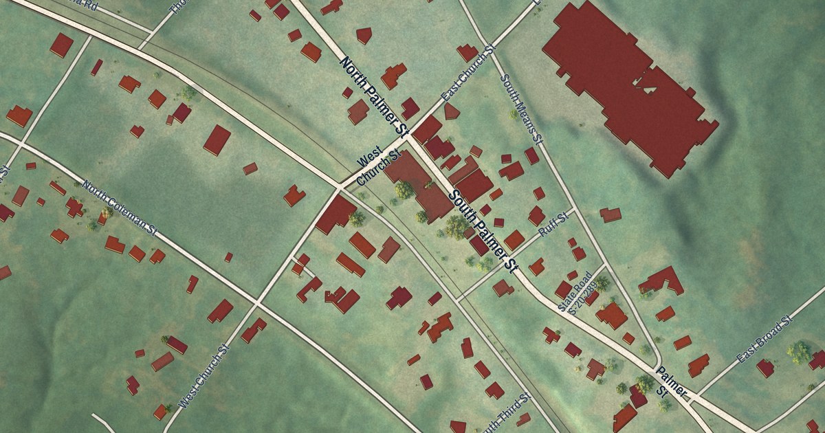
A detailed map of Ridgeway, South Carolina, showing every building in its true location, the roads by name, and shaded topographical relief.
Read More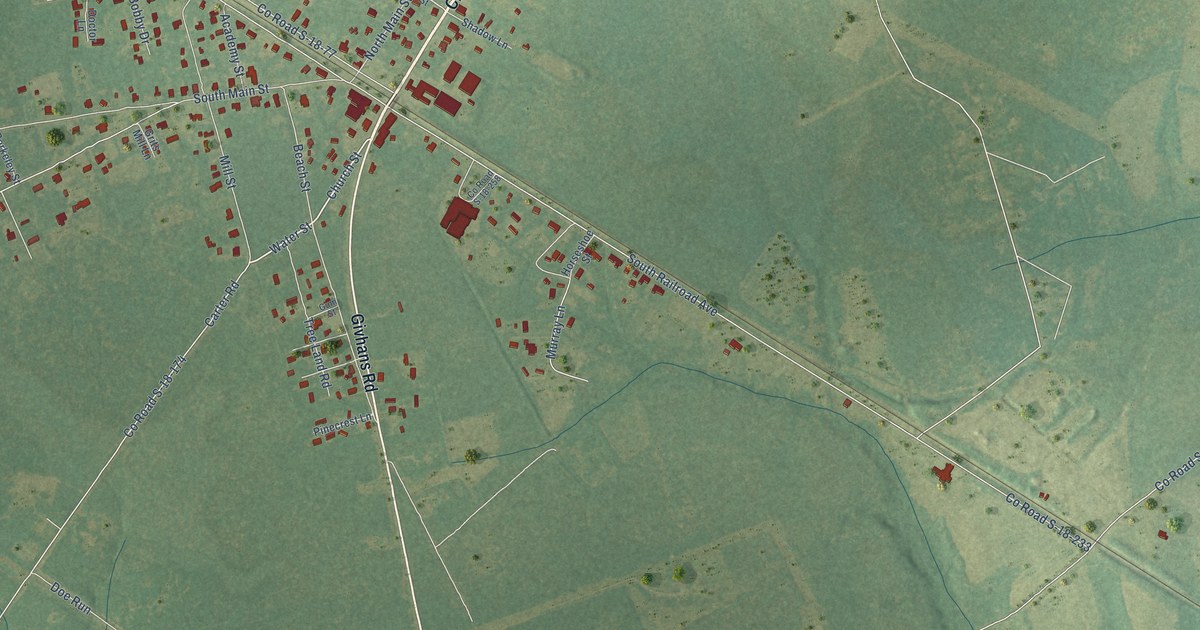
A detailed map of Ridgeville, South Carolina, showing every building in its true location, the roads by name, and shaded topographical relief.
Read More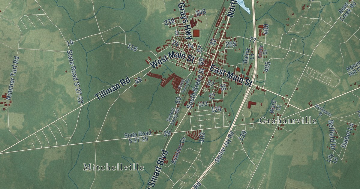
A detailed map of Ridgeland, South Carolina, showing every building in its true location, the roads by name, and shaded topographical relief.
Read More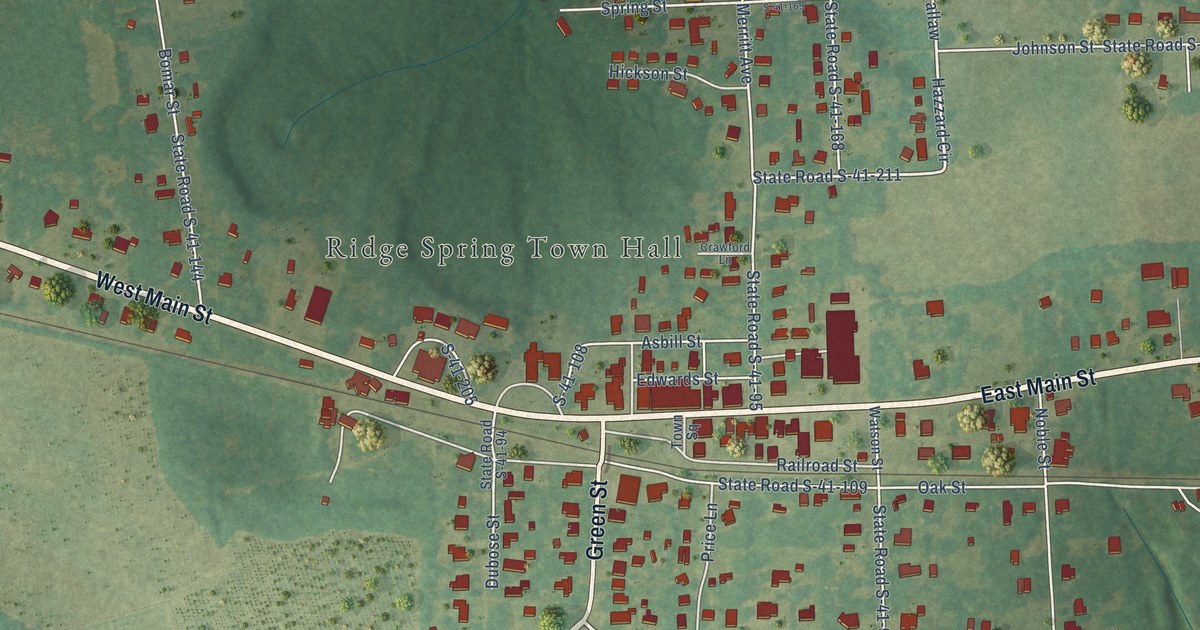
A detailed map of Ridge Spring, South Carolina, showing every building in its true location, the roads by name, and shaded topographical relief.
Read More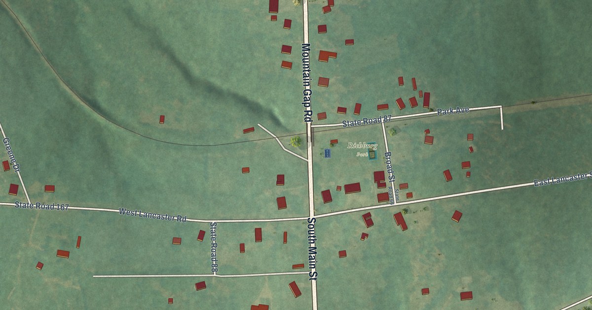
A detailed map of Richburg, South Carolina, showing every building in its true location, the roads by name, and shaded topographical relief.
Read More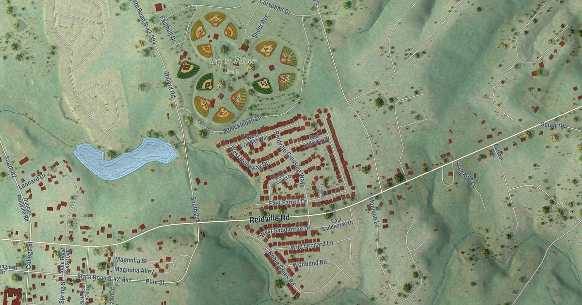
A detailed map of Reidville, South Carolina, showing every building in its true location, the roads by name, and shaded topographical relief.
Read More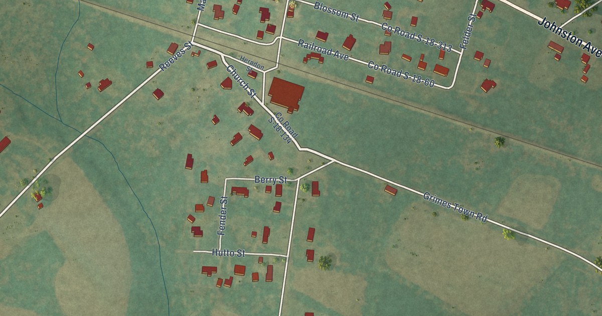
A detailed map of Reevesville, South Carolina, showing every building in its true location, the roads by name, and shaded topographical relief.
Read More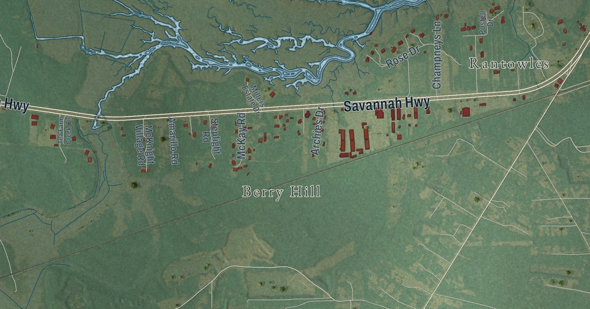
A detailed map of Ravenel, South Carolina, showing every building in its true location, the roads by name, and shaded topographical relief.
Read More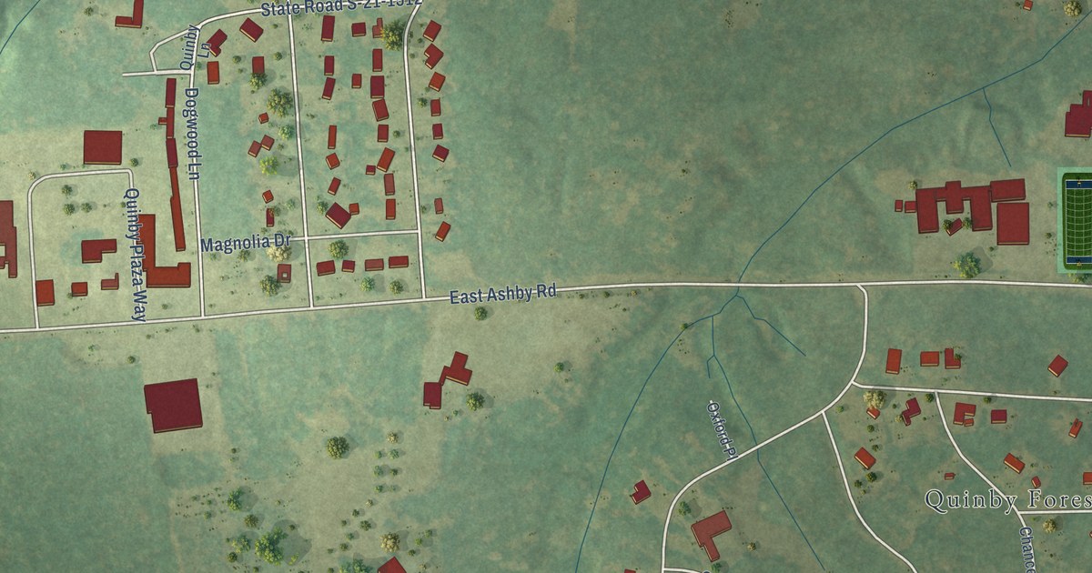
A detailed map of Quinby, South Carolina, showing every building in its true location, the roads by name, and shaded topographical relief.
Read More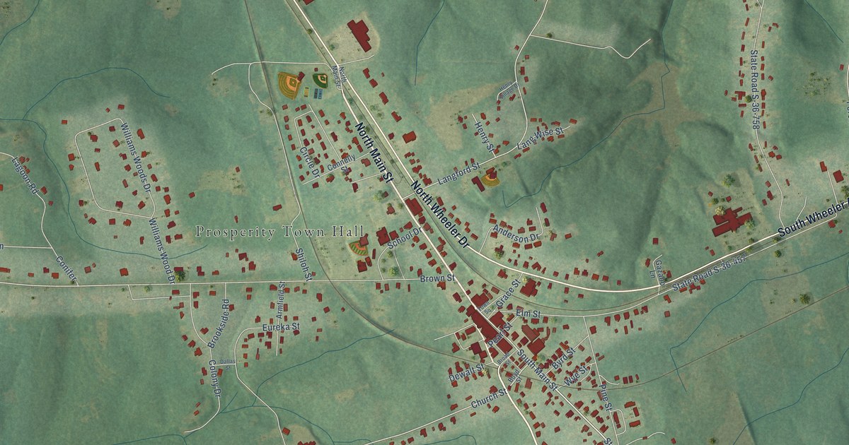
A detailed map of Prosperity, South Carolina, showing every building in its true location, the roads by name, and shaded topographical relief.
Read More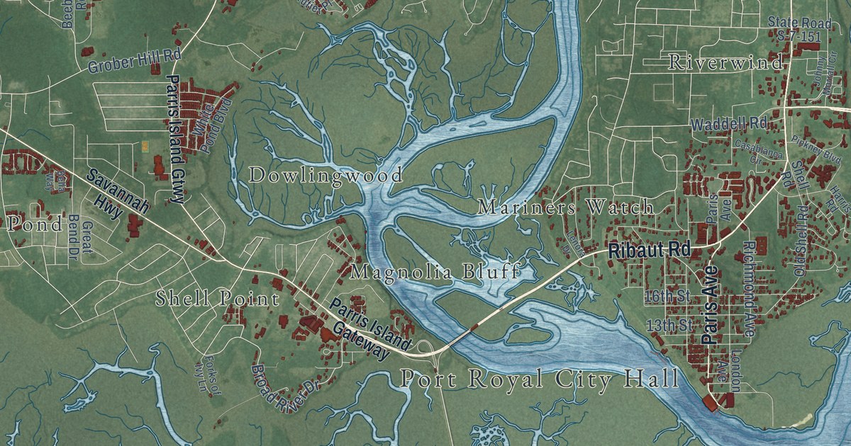
A detailed map of Port Royal, South Carolina, showing every building in its true location, the roads by name, and shaded topographical relief.
Read More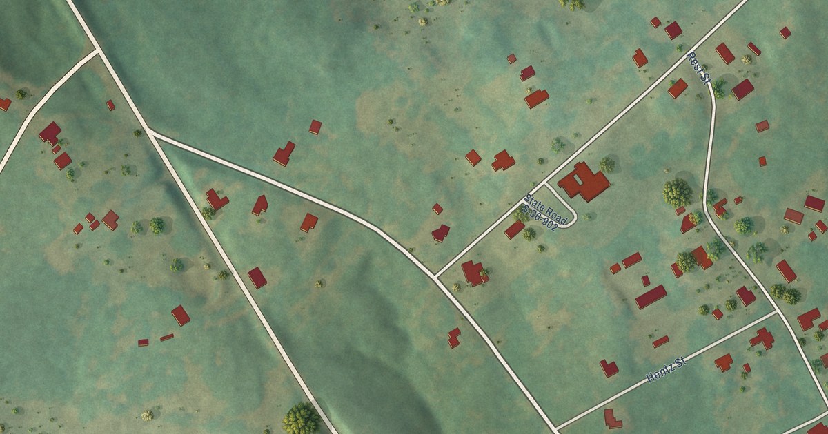
A detailed map of Pomaria, South Carolina, showing every building in its true location, the roads by name, and shaded topographical relief.
Read More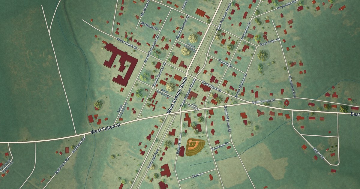
A detailed map of Pinewood, South Carolina, showing every building in its true location, the roads by name, and shaded topographical relief.
Read More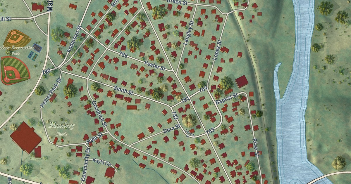
A detailed map of Pelzer, South Carolina, showing every building in its true location, the roads by name, and shaded topographical relief.
Read More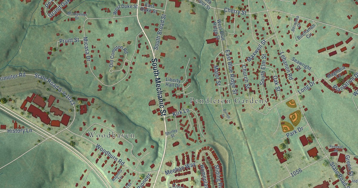
A detailed map of Pendleton, South Carolina, showing every building in its true location, the roads by name, and shaded topographical relief.
Read More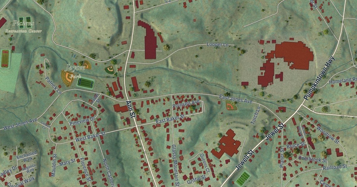
A detailed map of Pickens, South Carolina, showing every building in its true location, the roads by name, and shaded topographical relief.
Read More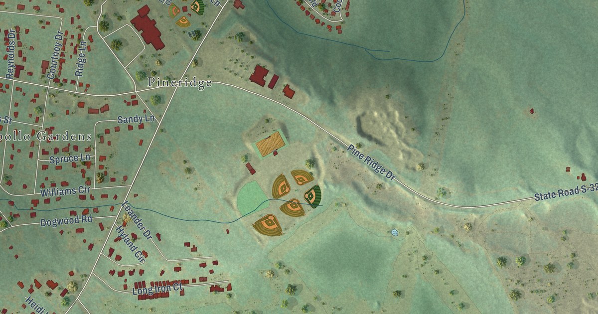
A detailed map of Pine Ridge, South Carolina, showing every building in its true location, the roads by name, and shaded topographical relief.
Read More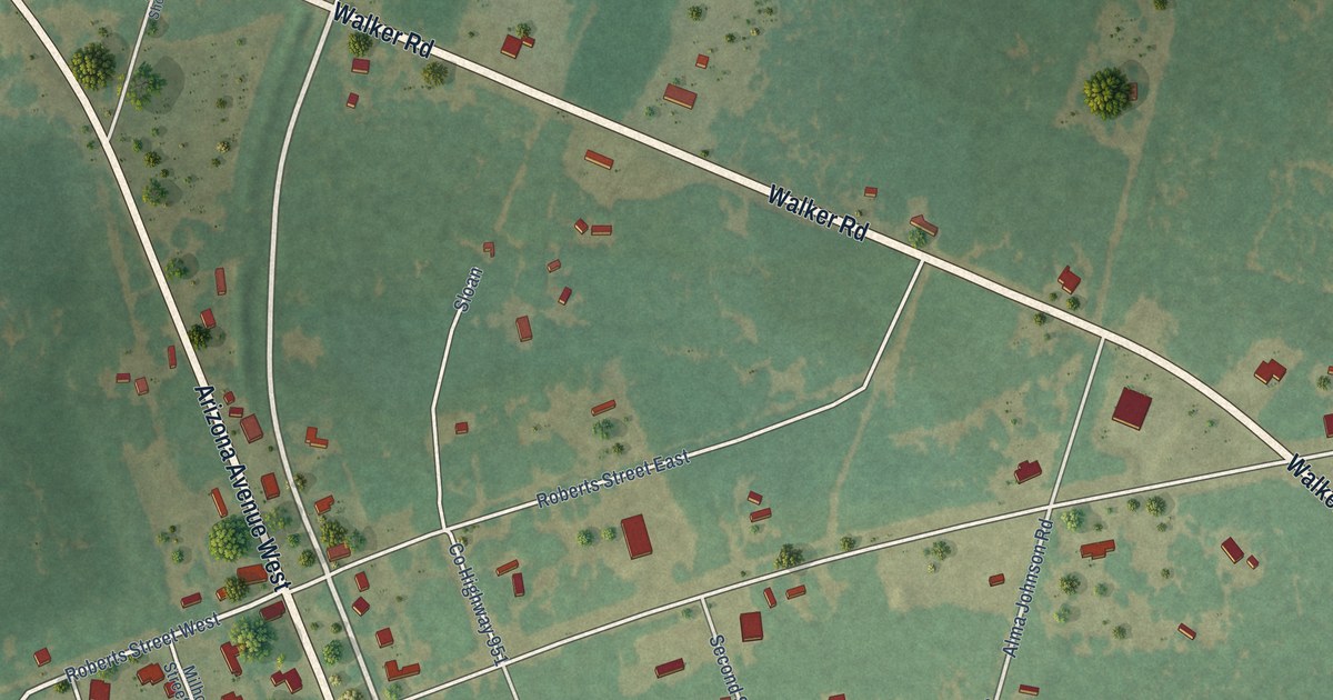
A detailed map of Perry, South Carolina, showing every building in its true location, the roads by name, and shaded topographical relief.
Read More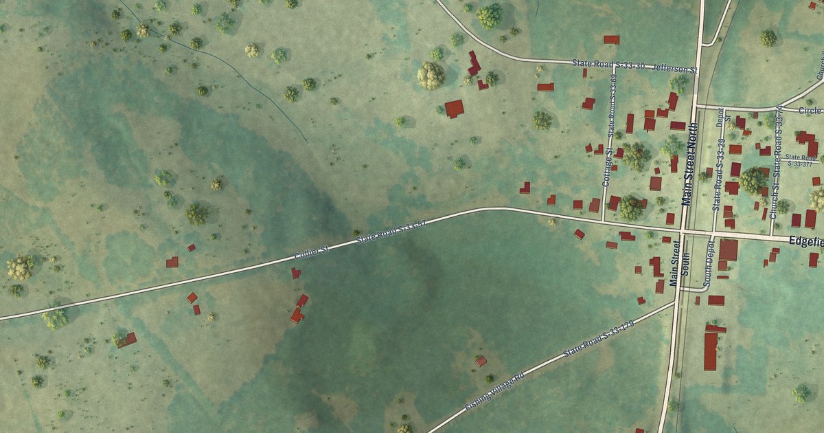
A detailed map of Plum Branch, South Carolina, showing every building in its true location, the roads by name, and shaded topographical relief.
Read More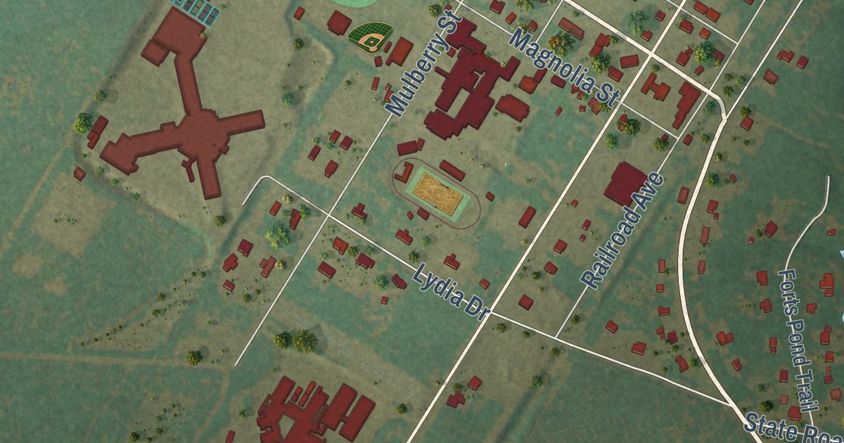
A detailed map of Pelion, South Carolina, showing every building in its true location, the roads by name, and shaded topographical relief.
Read More















