Detailed Map of Hanging Rock, Ohio
A detailed map of Hanging Rock, Ohio, showing every building in its true location, the roads by name, and shaded topographical relief.
Read More
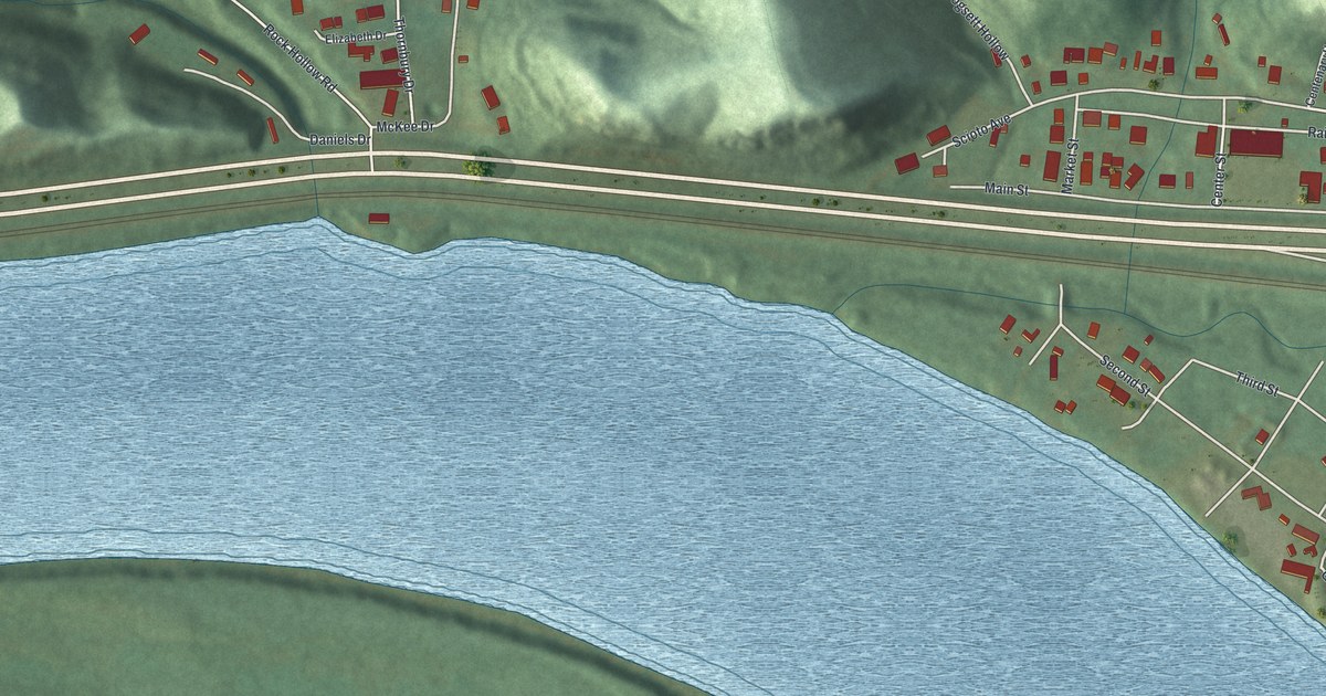
A detailed map of Hanging Rock, Ohio, showing every building in its true location, the roads by name, and shaded topographical relief.
Read More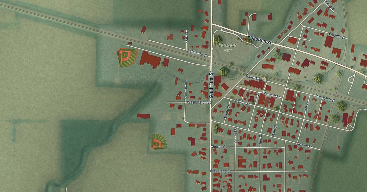
A detailed map of Hamler, Ohio, showing every building in its true location, the roads by name, and shaded topographical relief.
Read More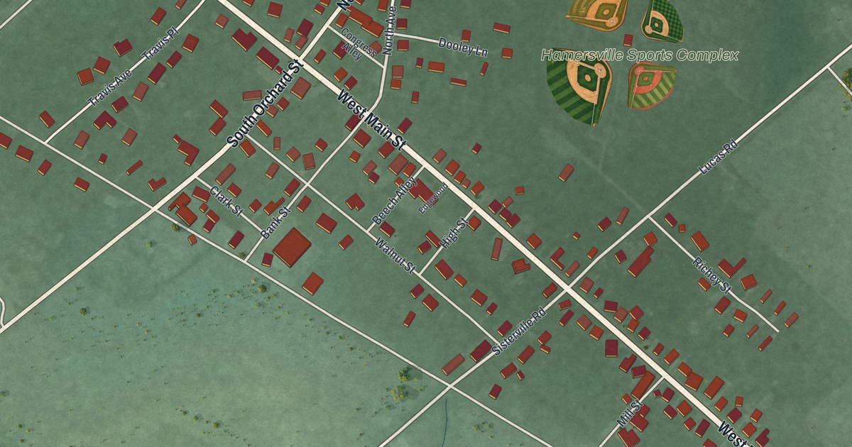
A detailed map of Hamersville, Ohio, showing every building in its true location, the roads by name, and shaded topographical relief.
Read More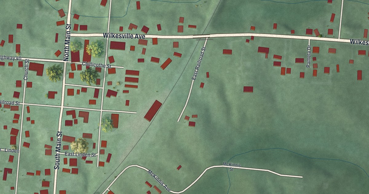
A detailed map of Hamden, Ohio, showing every building in its true location, the roads by name, and shaded topographical relief.
Read More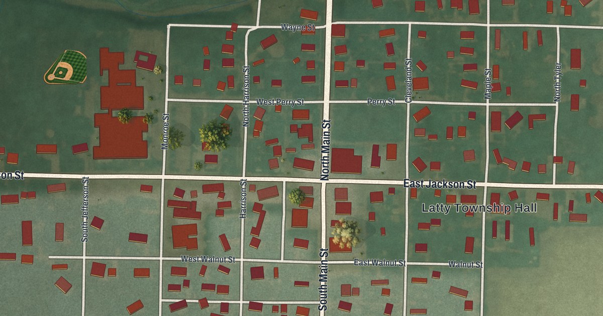
A detailed map of Grover Hill, Ohio, showing every building in its true location, the roads by name, and shaded topographical relief.
Read More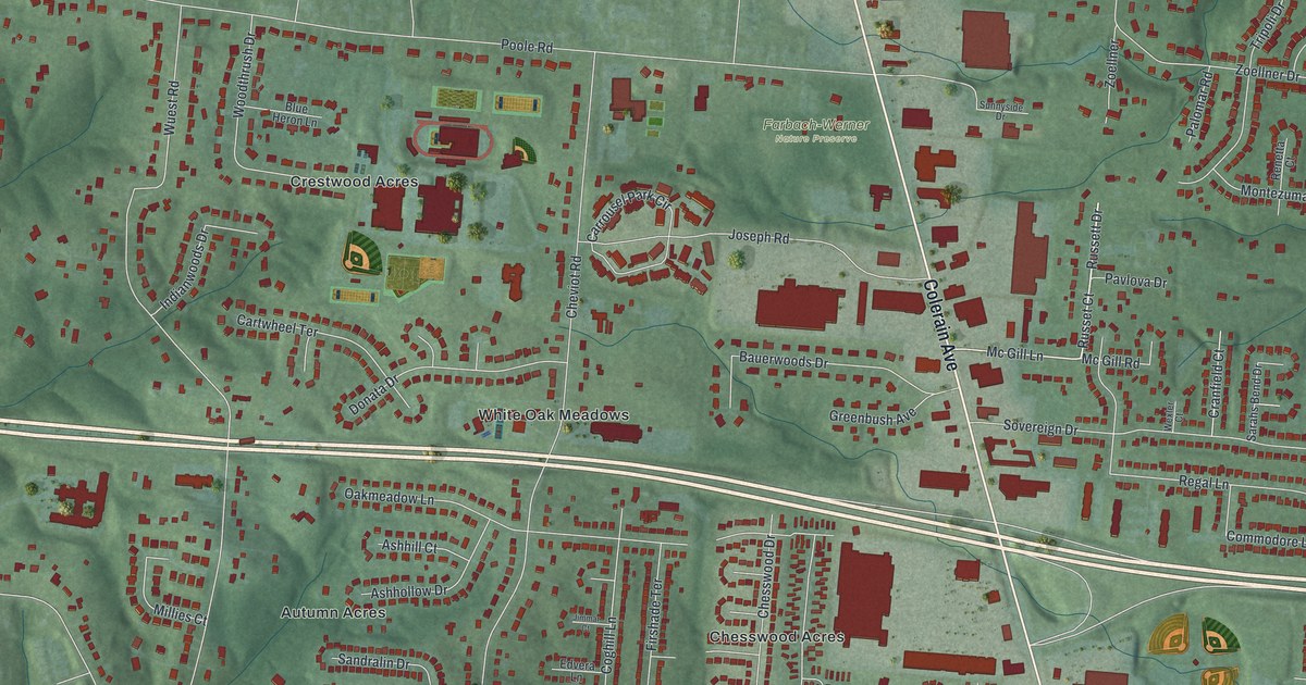
A detailed map of Groesbeck, Ohio, showing every building in its true location, the roads by name, and shaded topographical relief.
Read More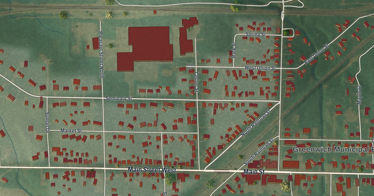
A detailed map of Greenwich, Ohio, showing every building in its true location, the roads by name, and shaded topographical relief.
Read More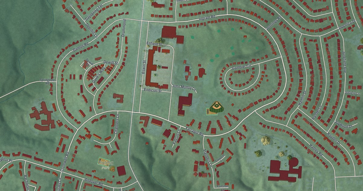
A detailed map of Greenhills, Ohio, showing every building in its true location, the roads by name, and shaded topographical relief.
Read More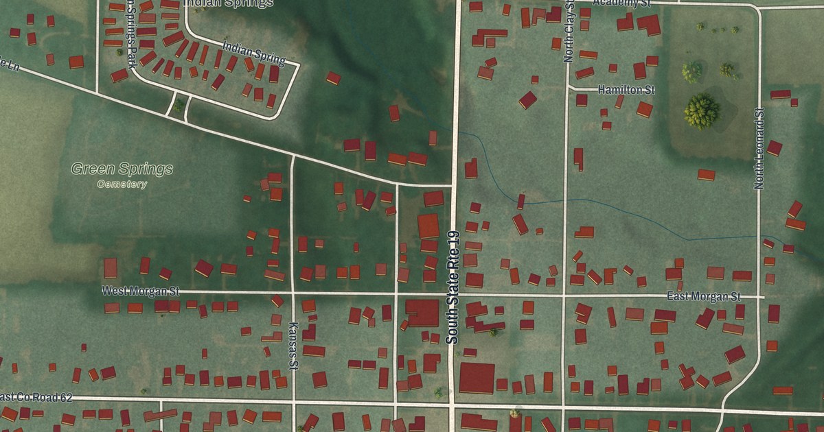
A detailed map of Green Springs, Ohio, showing every building in its true location, the roads by name, and shaded topographical relief.
Read More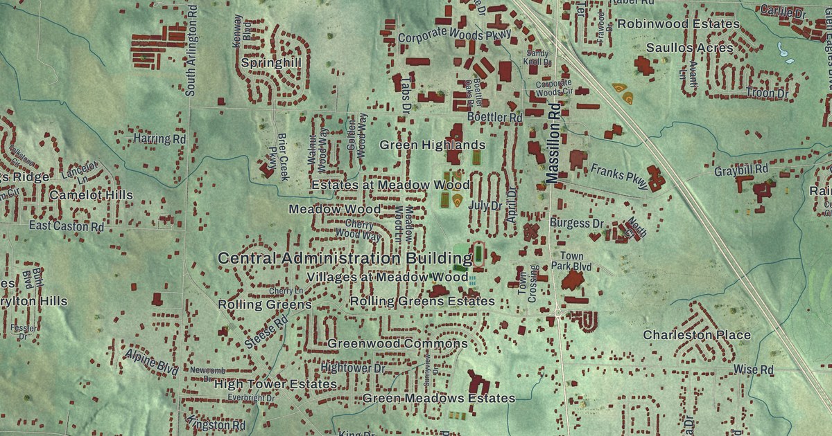
A detailed map of Green, Ohio, showing every building in its true location, the roads by name, and shaded topographical relief.
Read More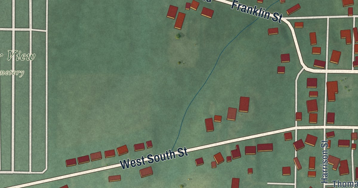
A detailed map of Gratis, Ohio, showing every building in its true location, the roads by name, and shaded topographical relief.
Read More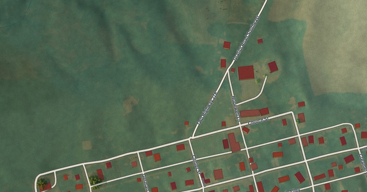
A detailed map of Gratiot, Ohio, showing every building in its true location, the roads by name, and shaded topographical relief.
Read More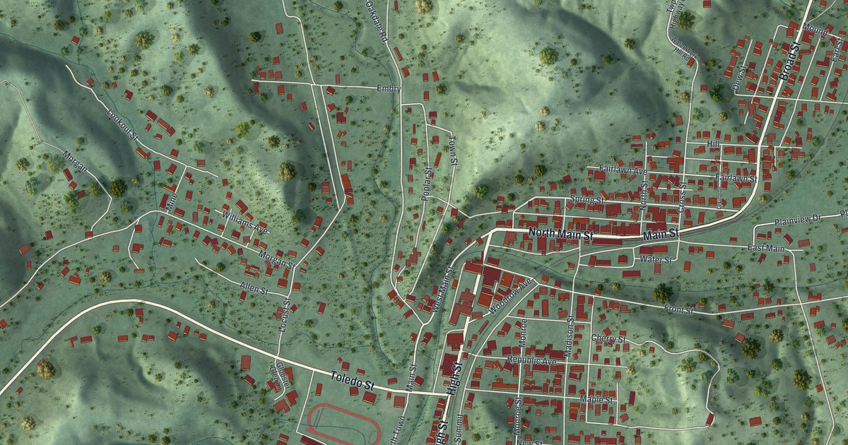
A detailed map of Glouster, Ohio, showing every building in its true location, the roads by name, and shaded topographical relief.
Read More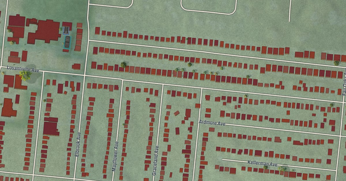
A detailed map of Golf Manor, Ohio, showing every building in its true location, the roads by name, and shaded topographical relief.
Read More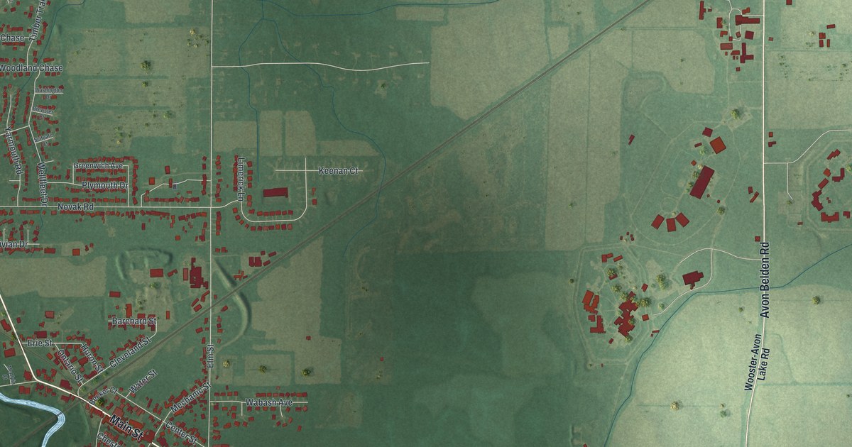
A detailed map of Grafton, Ohio, showing every building in its true location, the roads by name, and shaded topographical relief.
Read More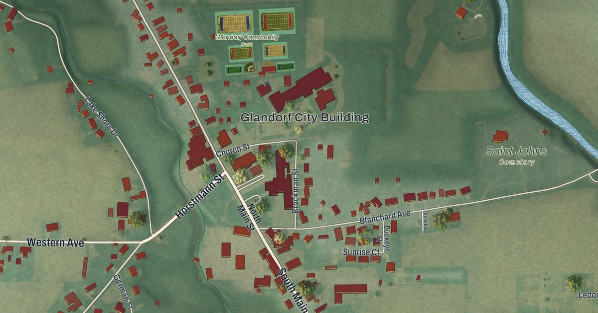
A detailed map of Glandorf, Ohio, showing every building in its true location, the roads by name, and shaded topographical relief.
Read More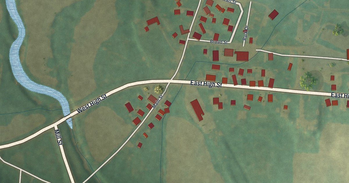
A detailed map of Glenford, Ohio, showing every building in its true location, the roads by name, and shaded topographical relief.
Read More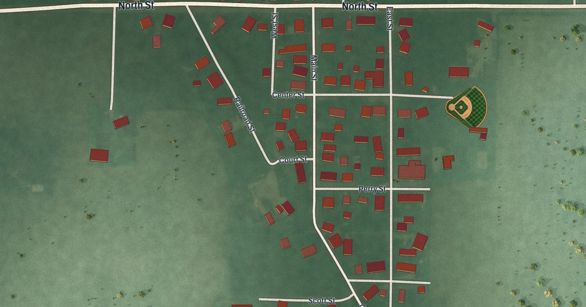
A detailed map of Gordon, Ohio, showing every building in its true location, the roads by name, and shaded topographical relief.
Read More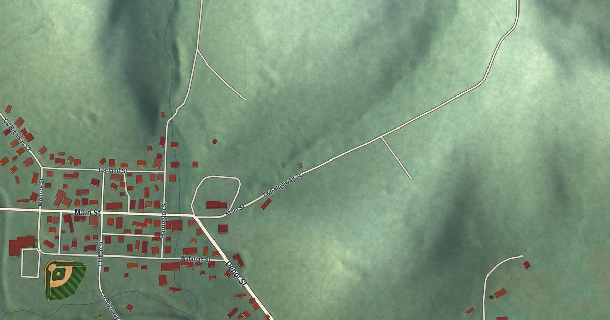
A detailed map of Glenmont, Ohio, showing every building in its true location, the roads by name, and shaded topographical relief.
Read More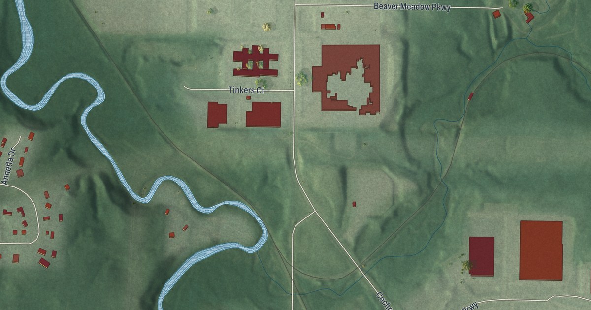
A detailed map of Glenwillow, Ohio, showing every building in its true location, the roads by name, and shaded topographical relief.
Read More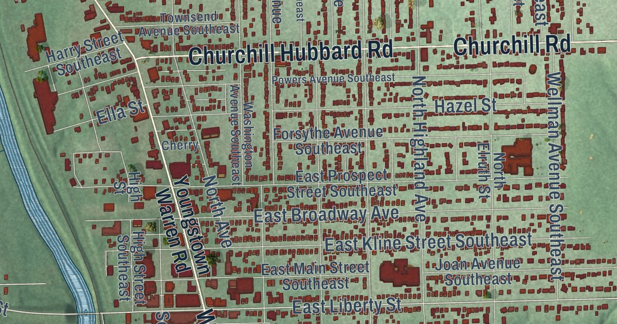
A detailed map of Girard, Ohio, showing every building in its true location, the roads by name, and shaded topographical relief.
Read More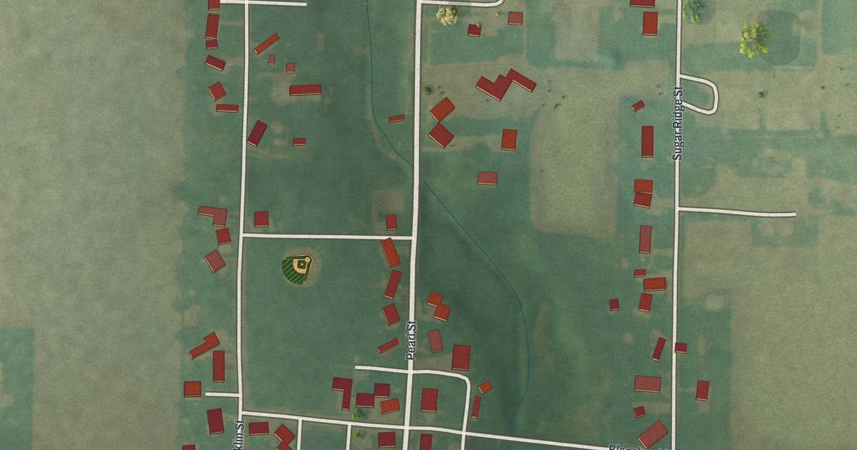
A detailed map of Gilboa, Ohio, showing every building in its true location, the roads by name, and shaded topographical relief.
Read More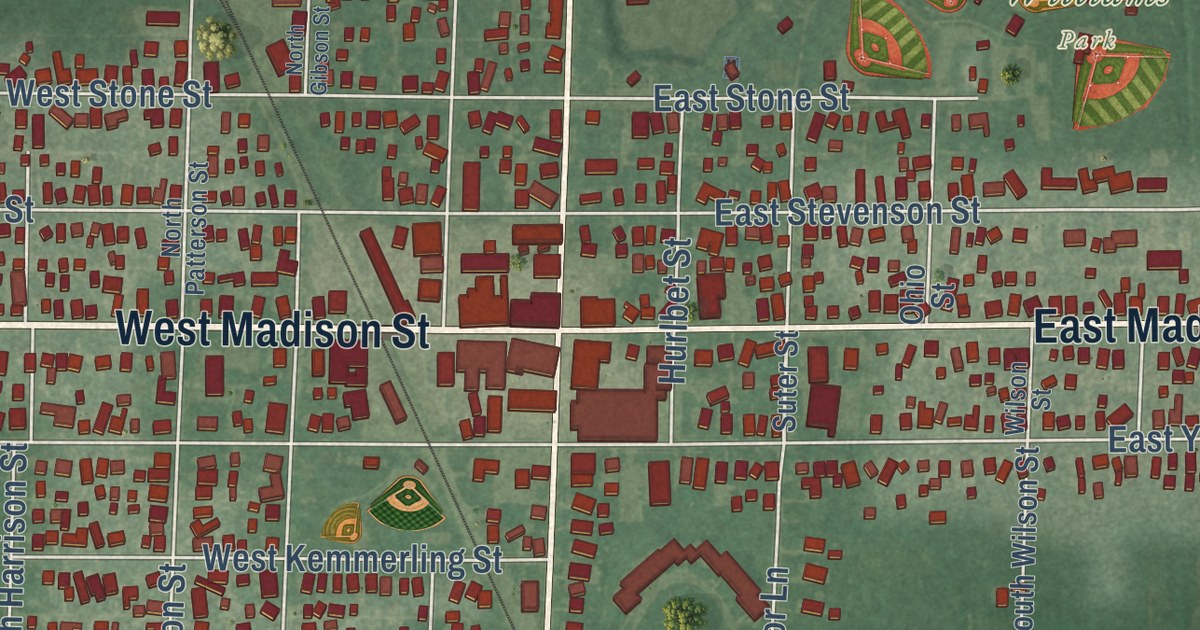
A detailed map of Gibsonburg, Ohio, showing every building in its true location, the roads by name, and shaded topographical relief.
Read More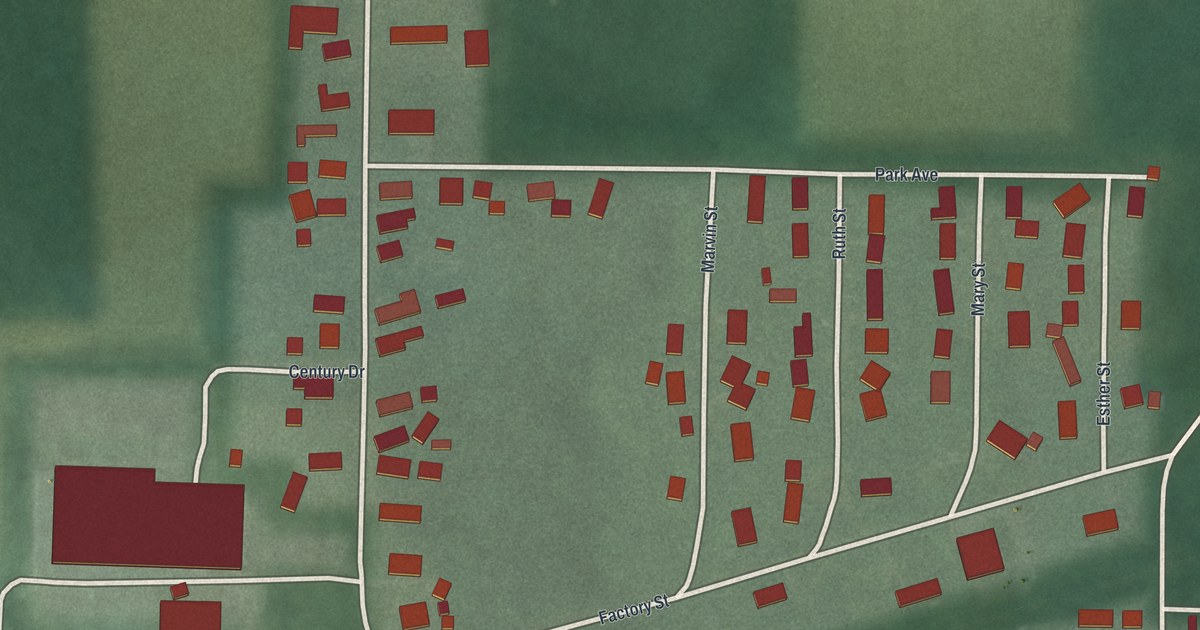
A detailed map of Gettysburg, Ohio, showing every building in its true location, the roads by name, and shaded topographical relief.
Read More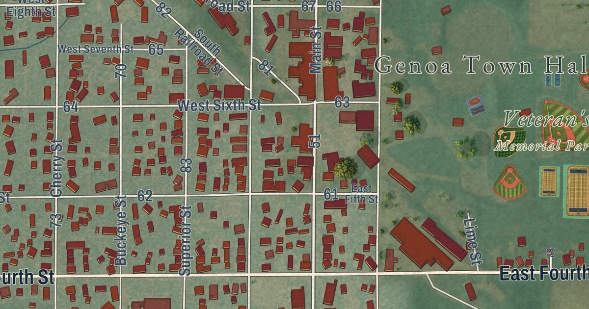
A detailed map of Genoa, Ohio, showing every building in its true location, the roads by name, and shaded topographical relief.
Read More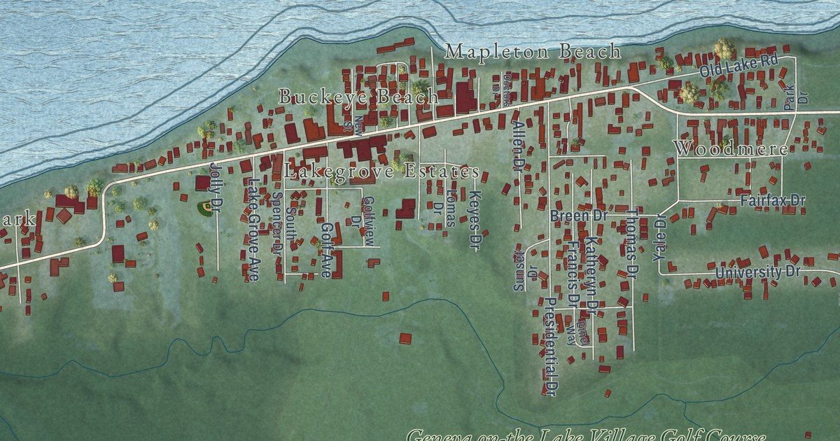
A detailed map of Geneva-on-the-Lake, Ohio, showing every building in its true location, the roads by name, and shaded topographical relief.
Read More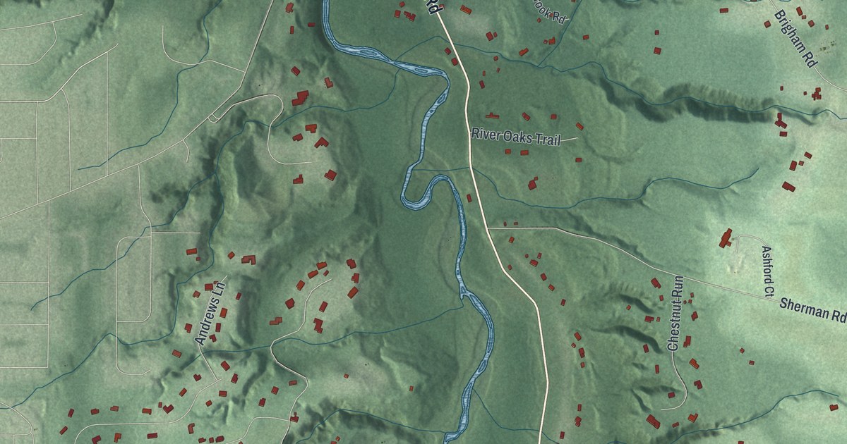
A detailed map of Gates Mills, Ohio, showing every building in its true location, the roads by name, and shaded topographical relief.
Read More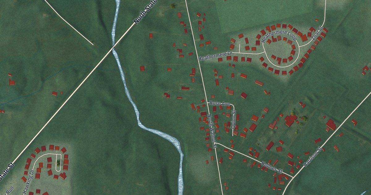
A detailed map of Galena, Ohio, showing every building in its true location, the roads by name, and shaded topographical relief.
Read More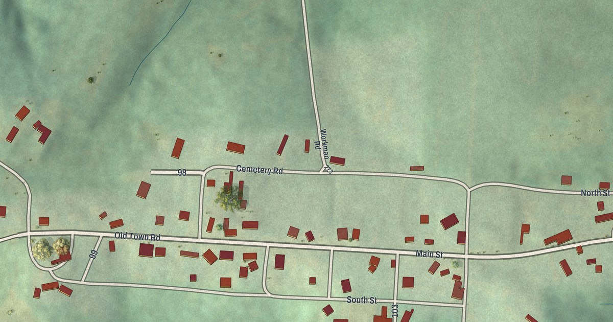
A detailed map of Fultonham, Ohio, showing every building in its true location, the roads by name, and shaded topographical relief.
Read More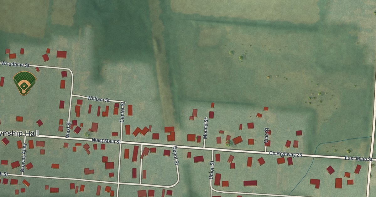
A detailed map of Fulton, Ohio, showing every building in its true location, the roads by name, and shaded topographical relief.
Read More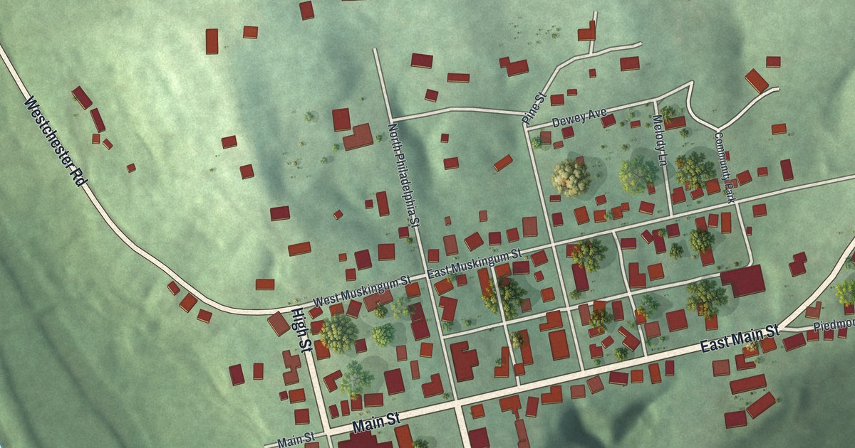
A detailed map of Freeport, Ohio, showing every building in its true location, the roads by name, and shaded topographical relief.
Read More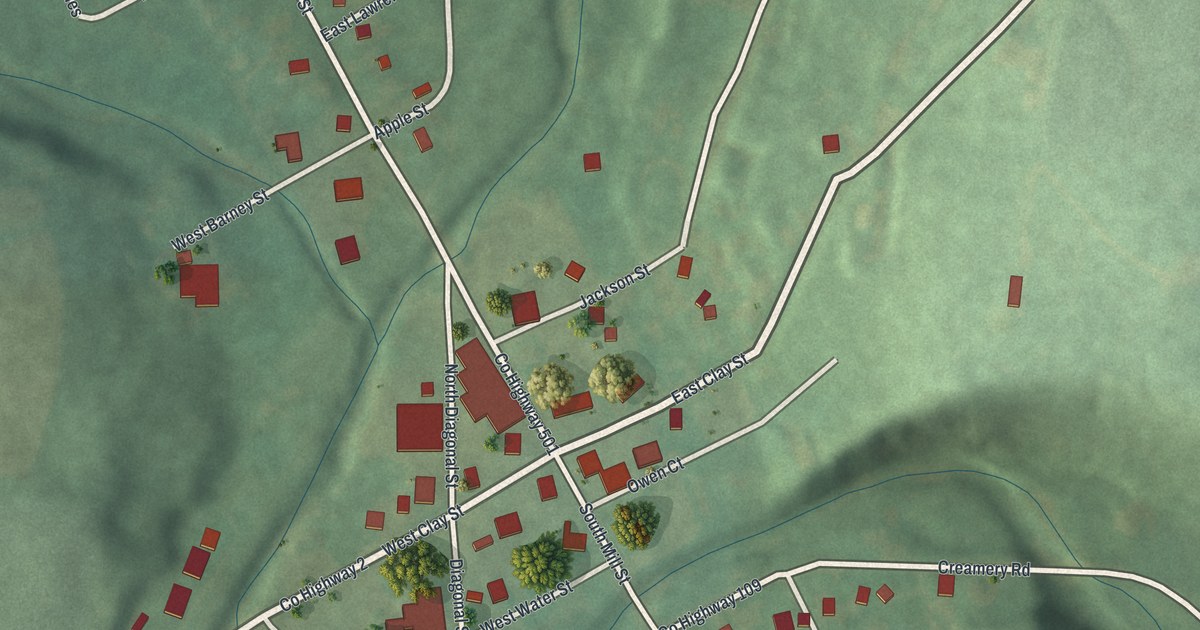
A detailed map of Fredericksburg, Ohio, showing every building in its true location, the roads by name, and shaded topographical relief.
Read More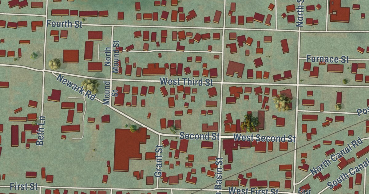
A detailed map of Frazeysburg, Ohio, showing every building in its true location, the roads by name, and shaded topographical relief.
Read More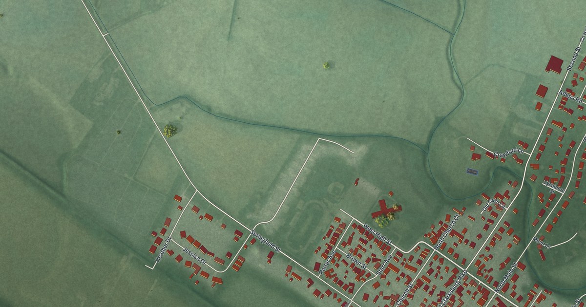
A detailed map of Frankfort, Ohio, showing every building in its true location, the roads by name, and shaded topographical relief.
Read More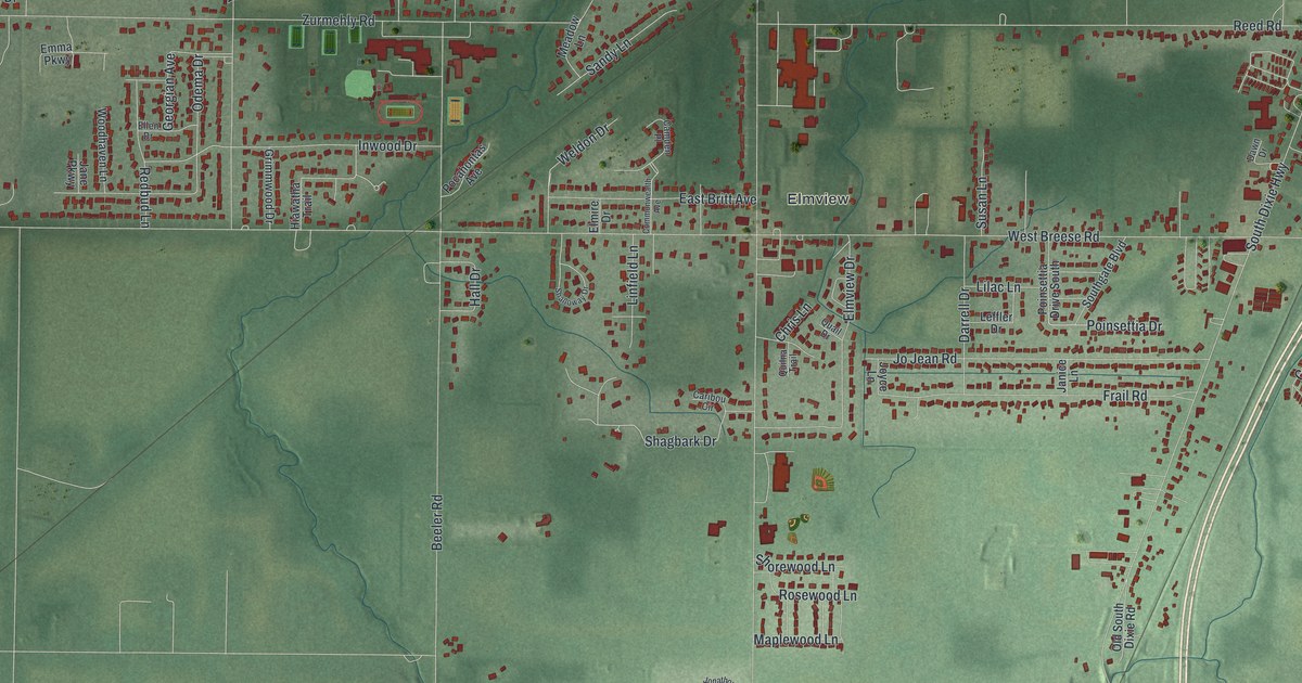
A detailed map of Fort Shawnee, Ohio, showing every building in its true location, the roads by name, and shaded topographical relief.
Read More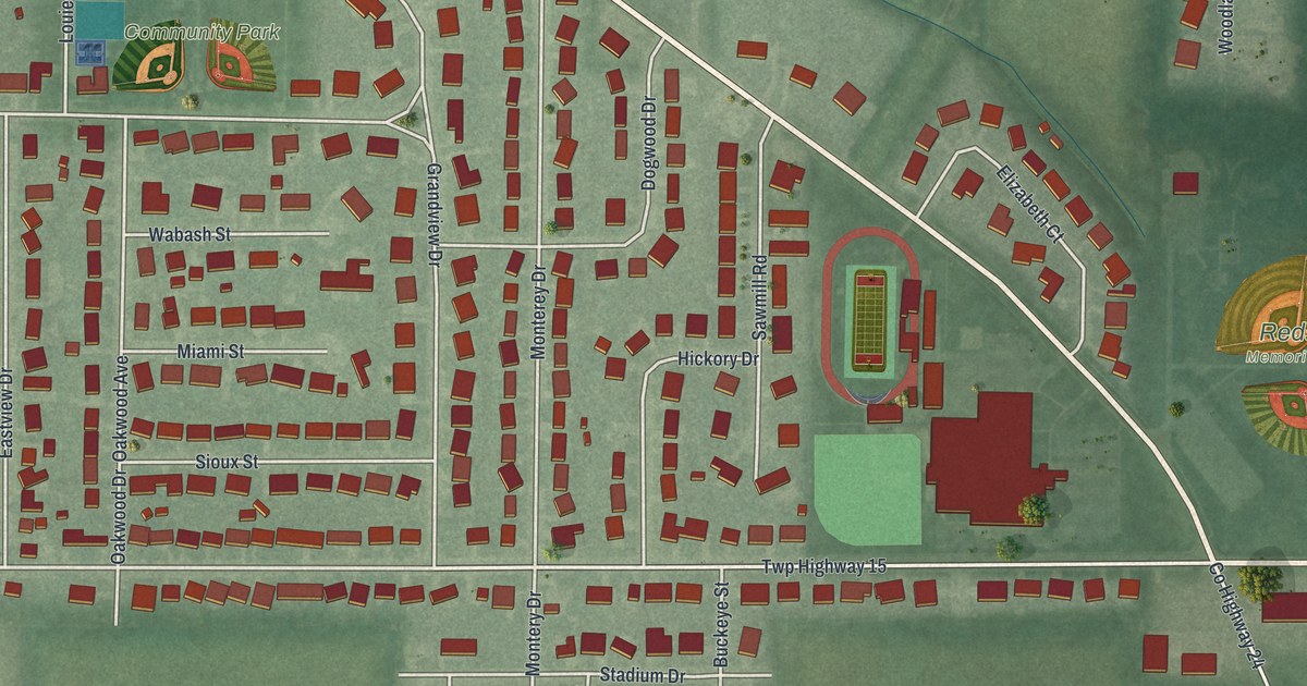
A detailed map of Fort Loramie, Ohio, showing every building in its true location, the roads by name, and shaded topographical relief.
Read More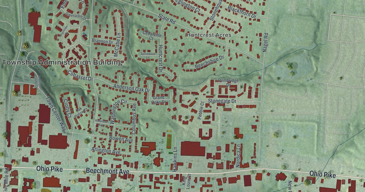
A detailed map of Forestville, Ohio, showing every building in its true location, the roads by name, and shaded topographical relief.
Read More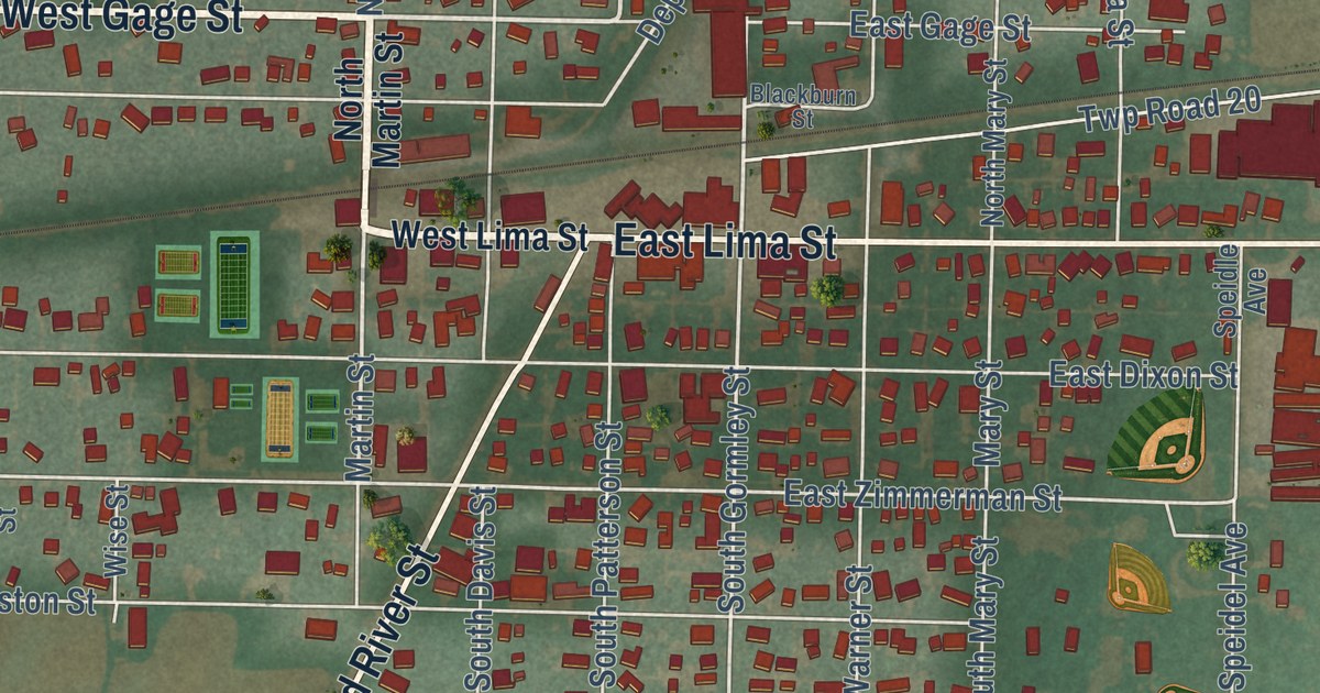
A detailed map of Forest, Ohio, showing every building in its true location, the roads by name, and shaded topographical relief.
Read More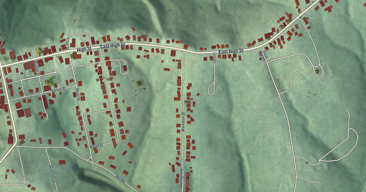
A detailed map of Flushing, Ohio, showing every building in its true location, the roads by name, and shaded topographical relief.
Read More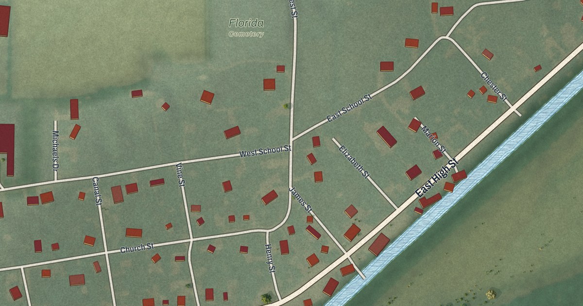
A detailed map of Florida, Ohio, showing every building in its true location, the roads by name, and shaded topographical relief.
Read More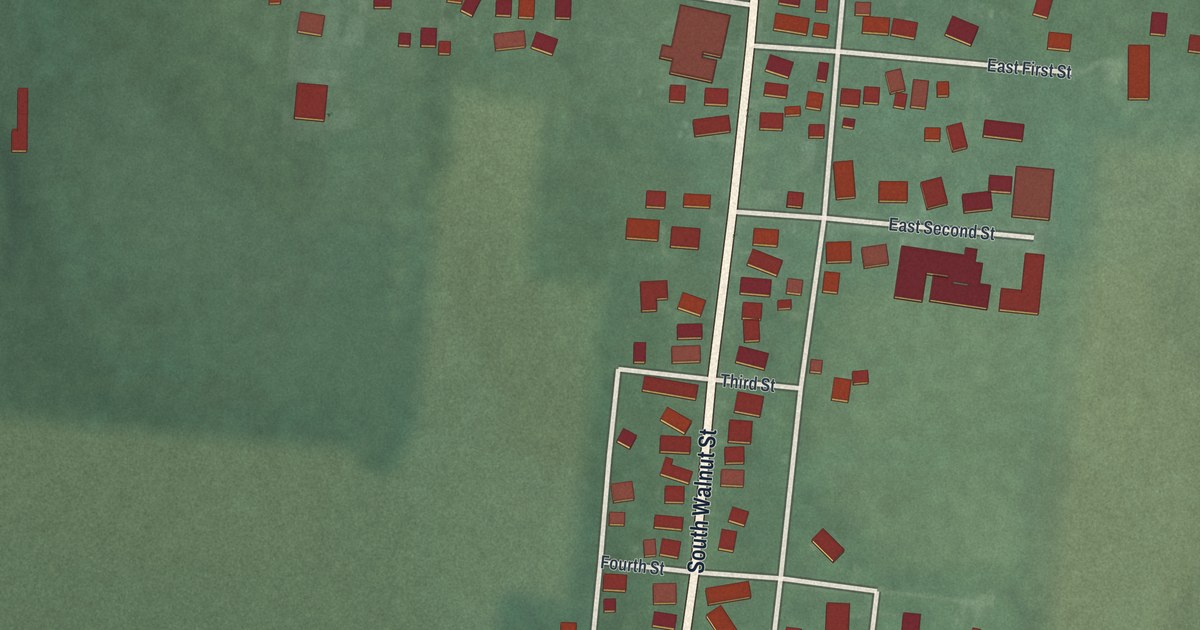
A detailed map of Fletcher, Ohio, showing every building in its true location, the roads by name, and shaded topographical relief.
Read More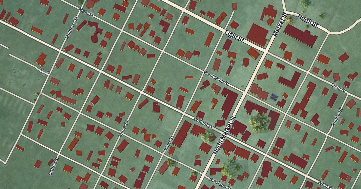
A detailed map of Felicity, Ohio, showing every building in its true location, the roads by name, and shaded topographical relief.
Read More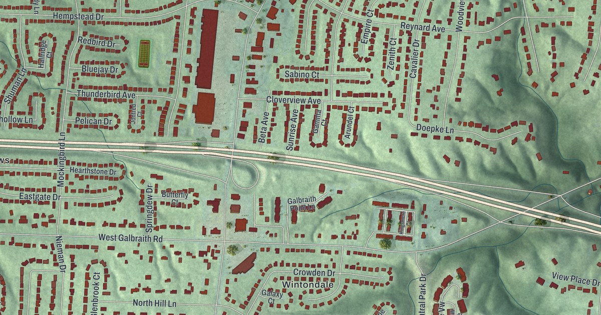
A detailed map of Finneytown, Ohio, showing every building in its true location, the roads by name, and shaded topographical relief.
Read More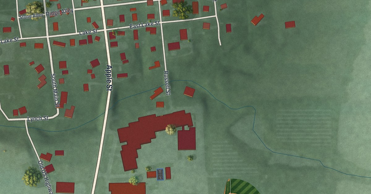
A detailed map of Fayetteville, Ohio, showing every building in its true location, the roads by name, and shaded topographical relief.
Read More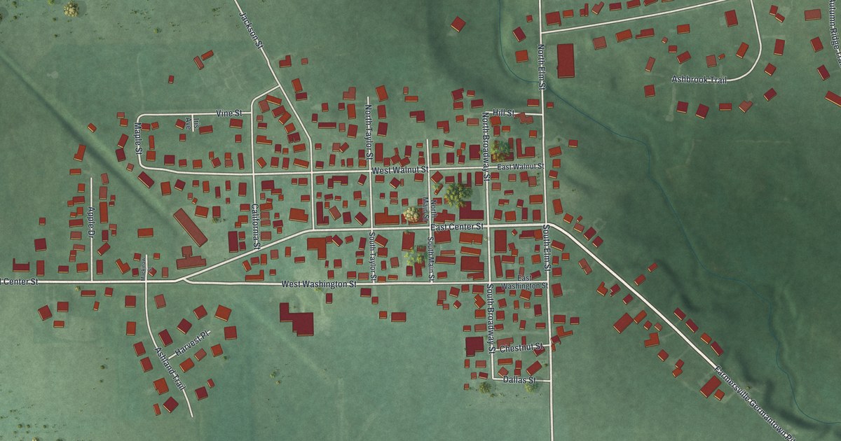
A detailed map of Farmersville, Ohio, showing every building in its true location, the roads by name, and shaded topographical relief.
Read More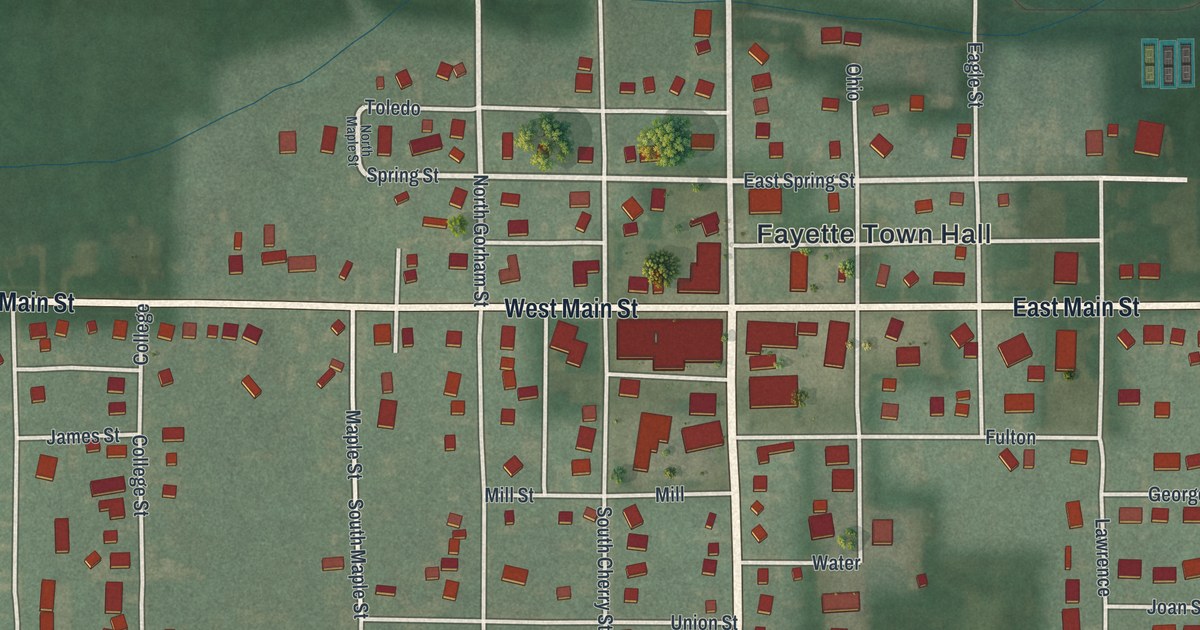
A detailed map of Fayette, Ohio, showing every building in its true location, the roads by name, and shaded topographical relief.
Read More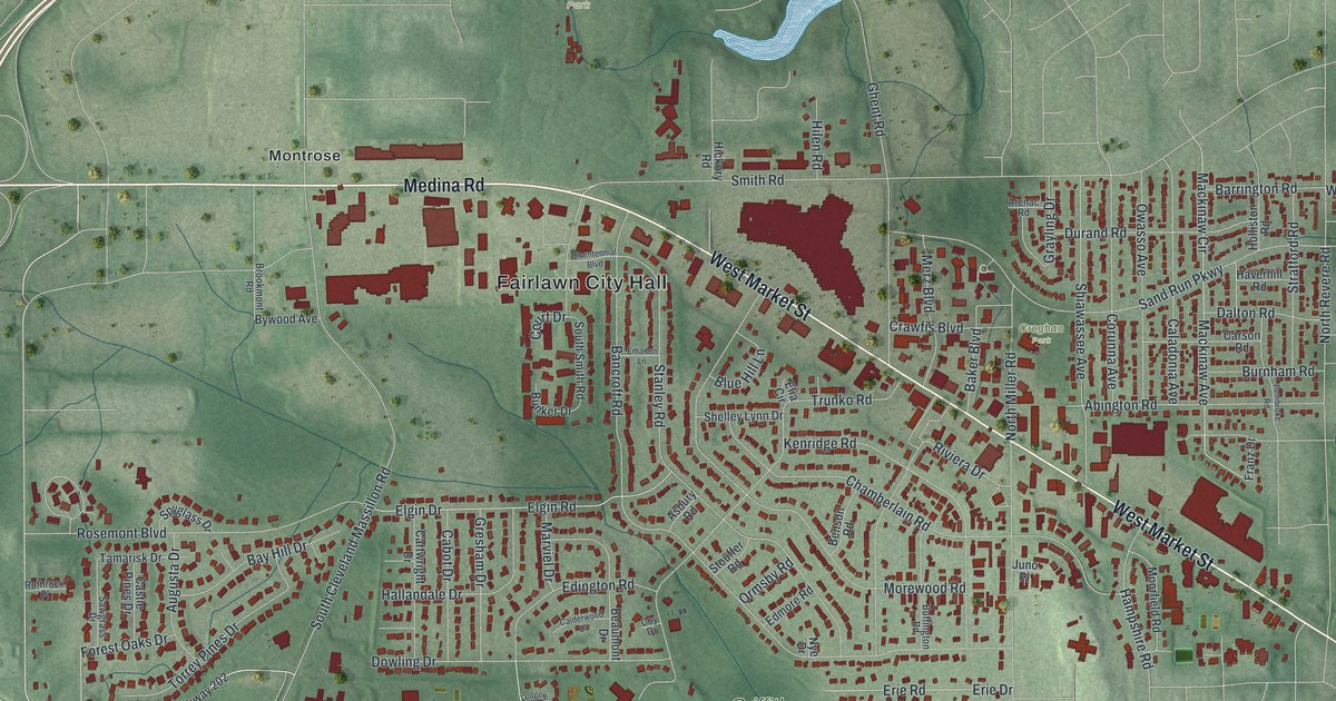
A detailed map of Fairlawn, Ohio, showing every building in its true location, the roads by name, and shaded topographical relief.
Read More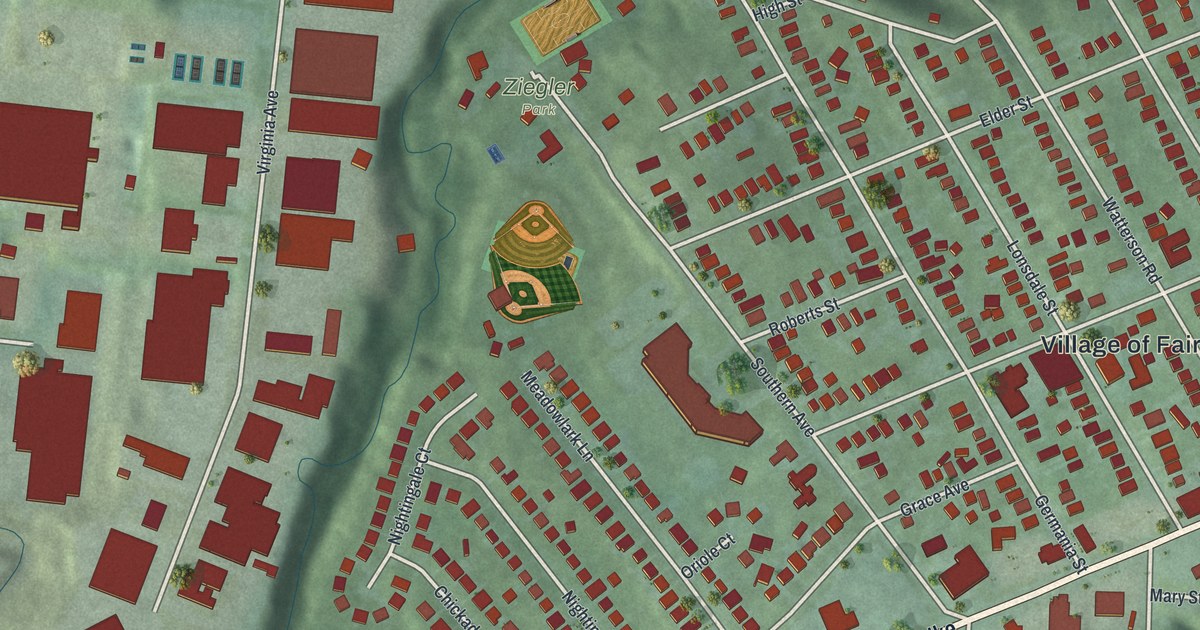
A detailed map of Fairfax, Ohio, showing every building in its true location, the roads by name, and shaded topographical relief.
Read More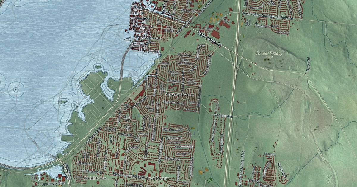
A detailed map of Fairborn, Ohio, showing every building in its true location, the roads by name, and shaded topographical relief.
Read More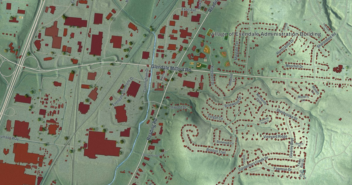
A detailed map of Evendale, Ohio, showing every building in its true location, the roads by name, and shaded topographical relief.
Read More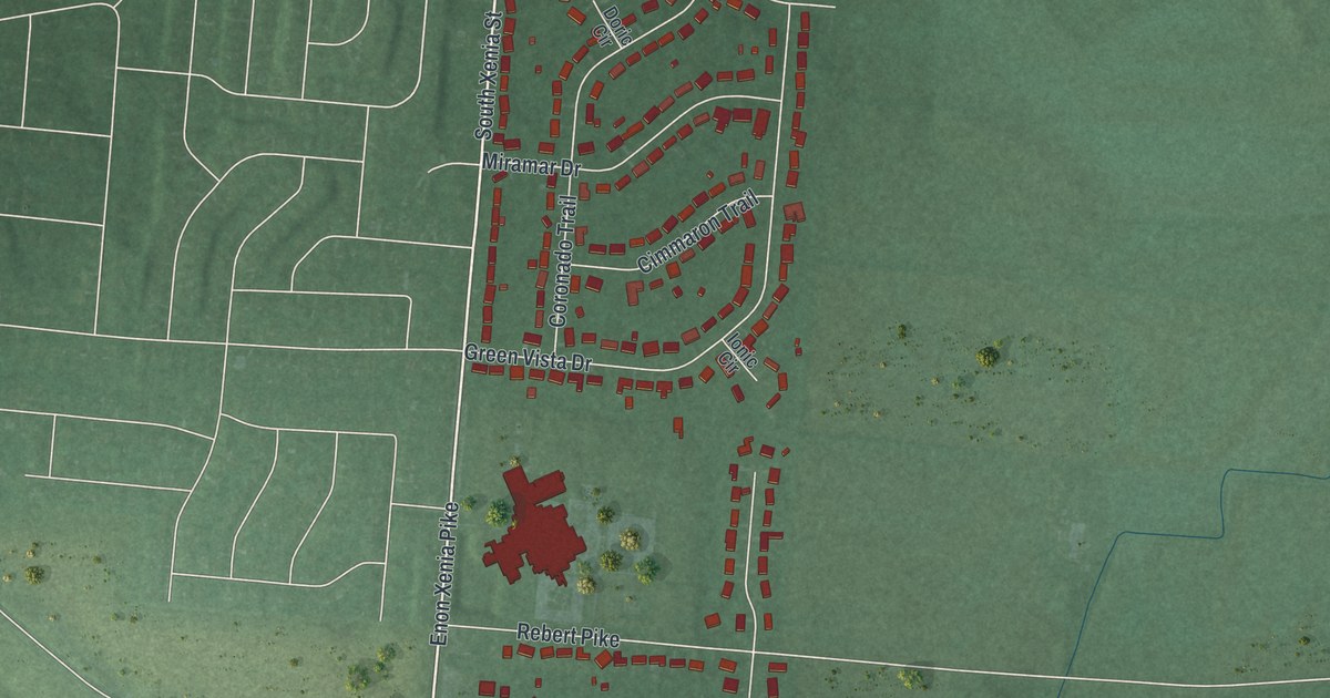
A detailed map of Enon, Ohio, showing every building in its true location, the roads by name, and shaded topographical relief.
Read More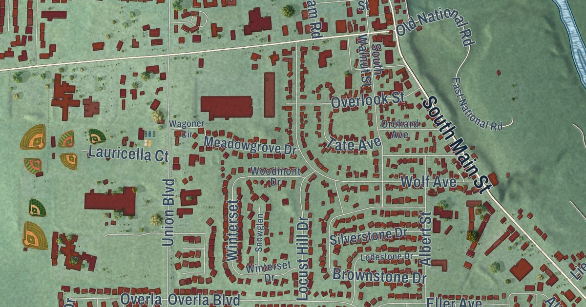
A detailed map of Englewood, Ohio, showing every building in its true location, the roads by name, and shaded topographical relief.
Read More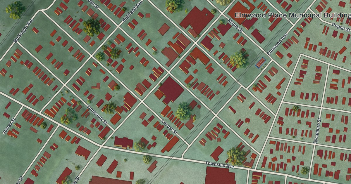
A detailed map of Elmwood Place, Ohio, showing every building in its true location, the roads by name, and shaded topographical relief.
Read More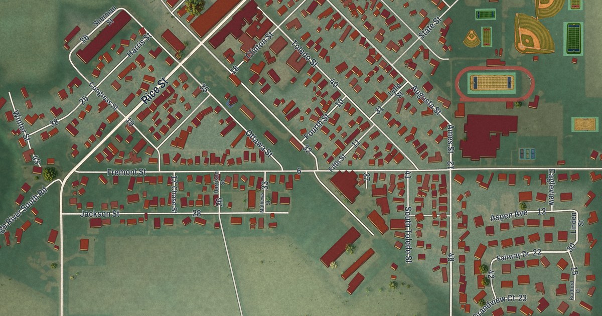
A detailed map of Elmore, Ohio, showing every building in its true location, the roads by name, and shaded topographical relief.
Read More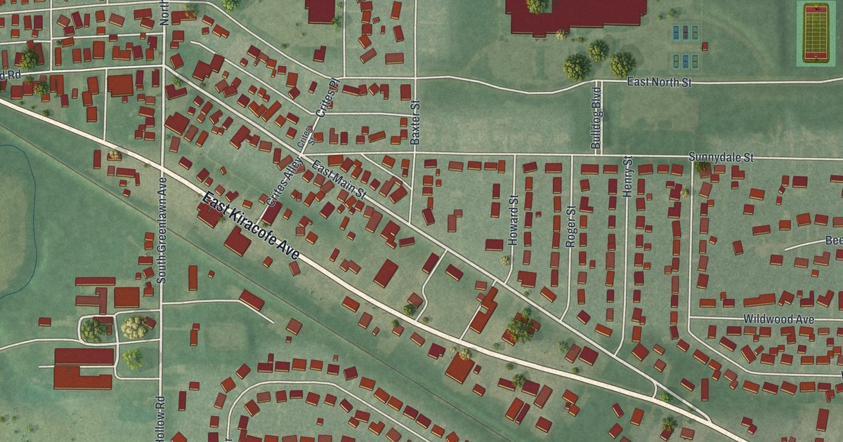
A detailed map of Elida, Ohio, showing every building in its true location, the roads by name, and shaded topographical relief.
Read More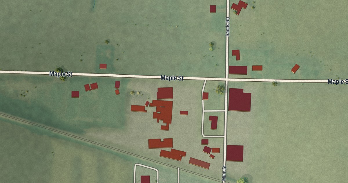
A detailed map of Elgin, Ohio, showing every building in its true location, the roads by name, and shaded topographical relief.
Read More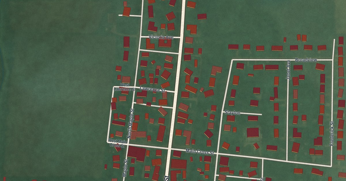
A detailed map of Eldorado, Ohio, showing every building in its true location, the roads by name, and shaded topographical relief.
Read More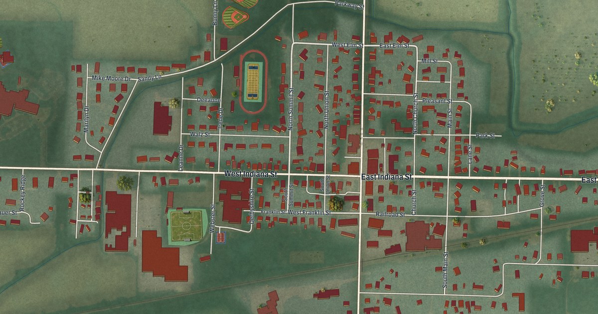
A detailed map of Edon, Ohio, showing every building in its true location, the roads by name, and shaded topographical relief.
Read More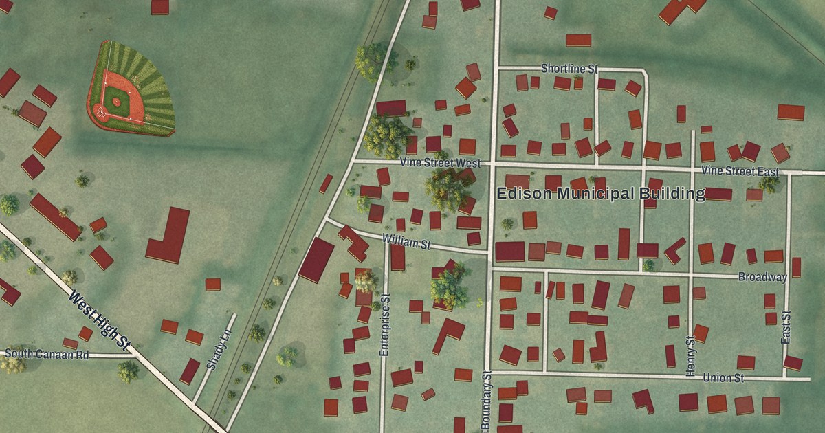
A detailed map of Edison, Ohio, showing every building in its true location, the roads by name, and shaded topographical relief.
Read More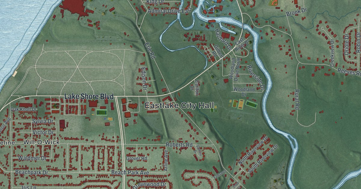
A detailed map of Eastlake, Ohio, showing every building in its true location, the roads by name, and shaded topographical relief.
Read More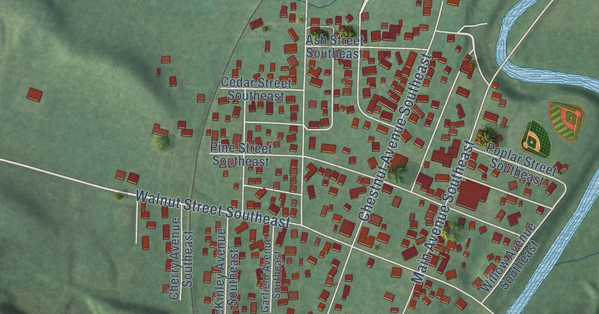
A detailed map of East Sparta, Ohio, showing every building in its true location, the roads by name, and shaded topographical relief.
Read More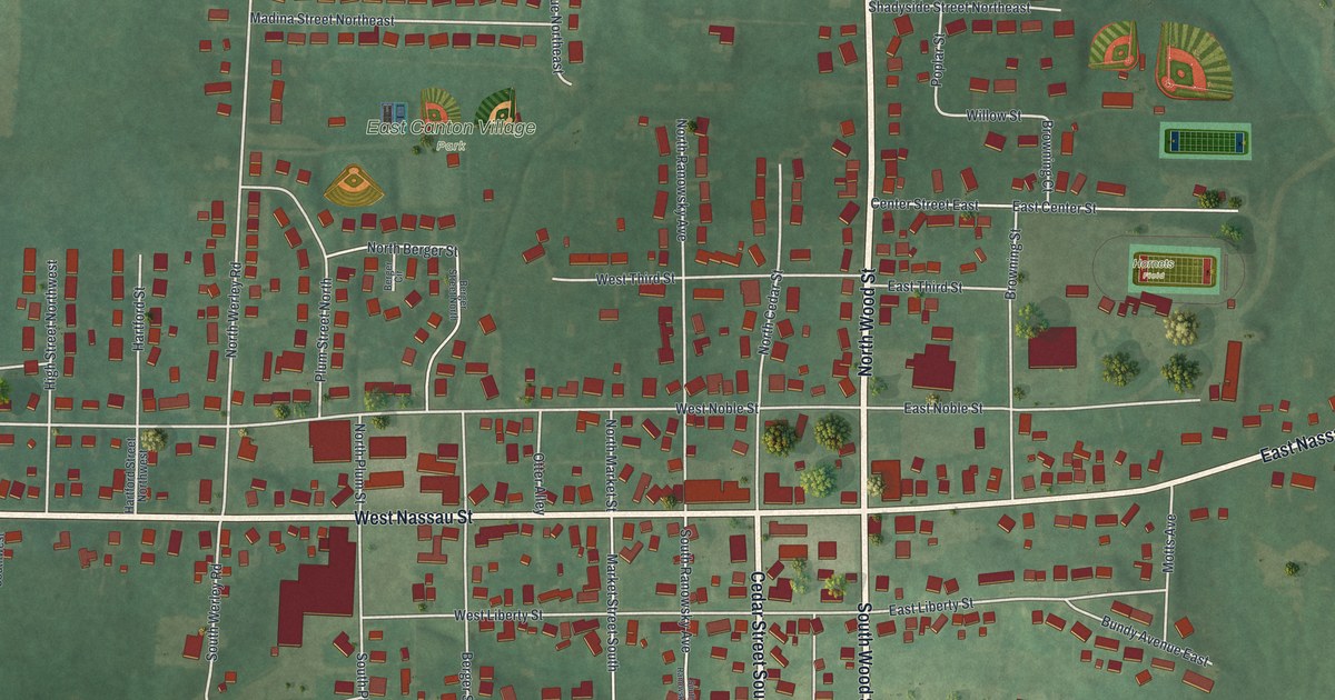
A detailed map of East Canton, Ohio, showing every building in its true location, the roads by name, and shaded topographical relief.
Read More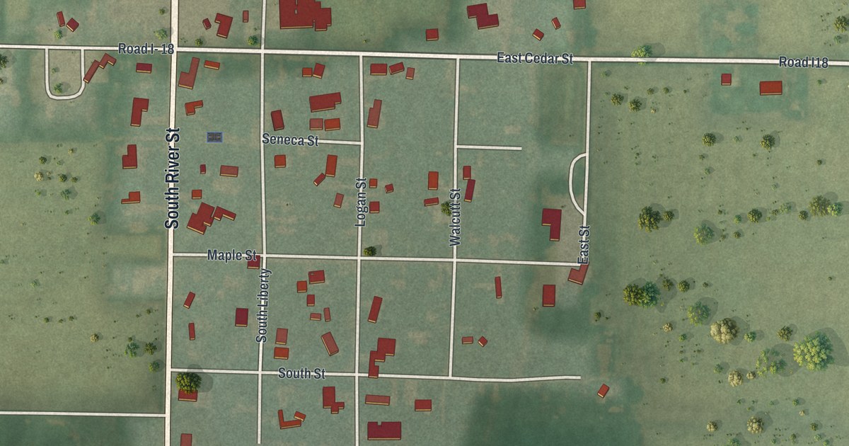
A detailed map of Dupont, Ohio, showing every building in its true location, the roads by name, and shaded topographical relief.
Read More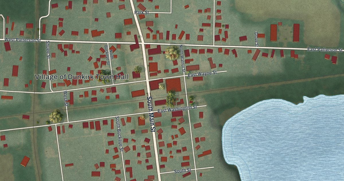
A detailed map of Dunkirk, Ohio, showing every building in its true location, the roads by name, and shaded topographical relief.
Read More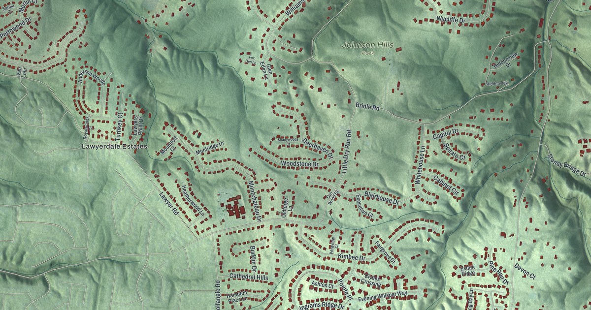
A detailed map of Dry Run, Ohio, showing every building in its true location, the roads by name, and shaded topographical relief.
Read More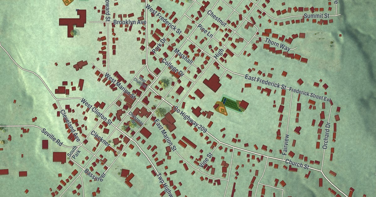
A detailed map of Doylestown, Ohio, showing every building in its true location, the roads by name, and shaded topographical relief.
Read More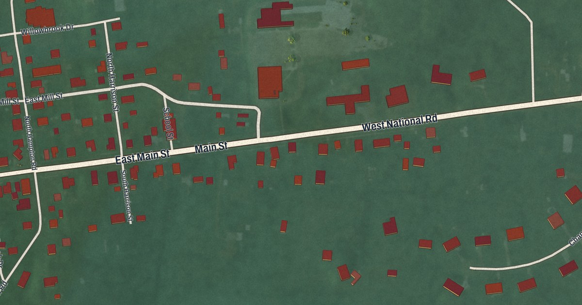
A detailed map of Donnelsville, Ohio, showing every building in its true location, the roads by name, and shaded topographical relief.
Read More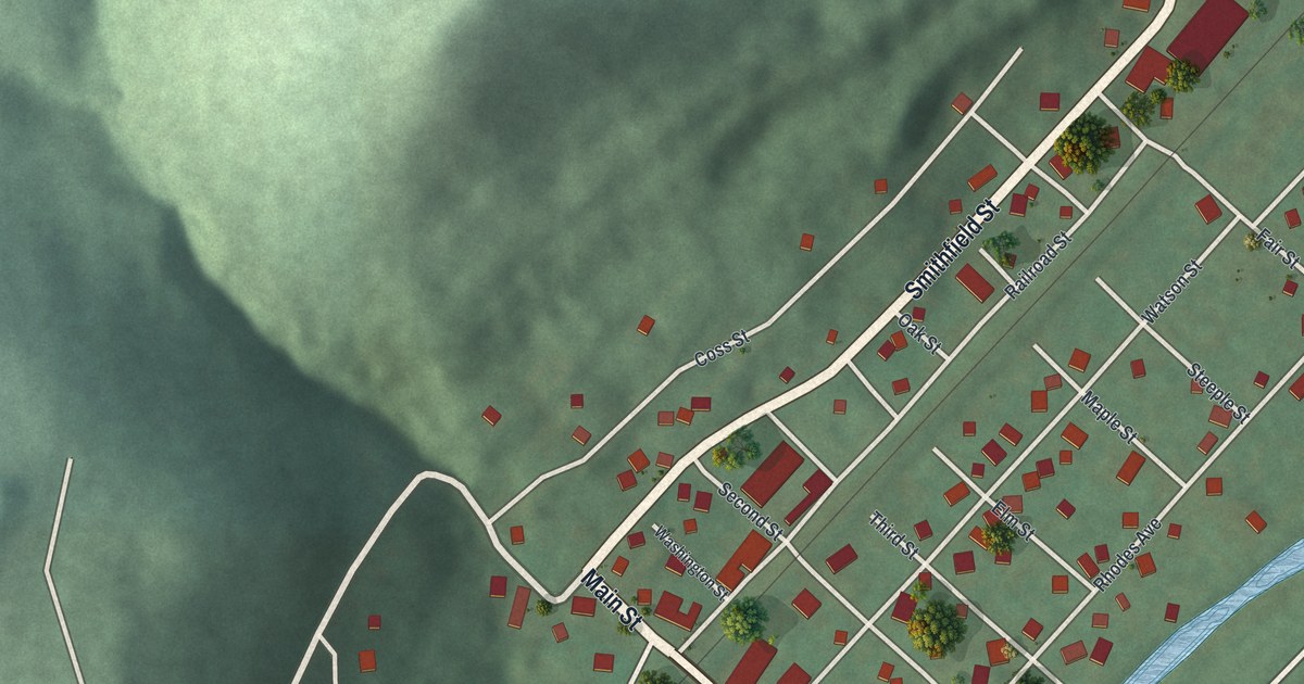
A detailed map of Dillonvale, Ohio, showing every building in its true location, the roads by name, and shaded topographical relief.
Read More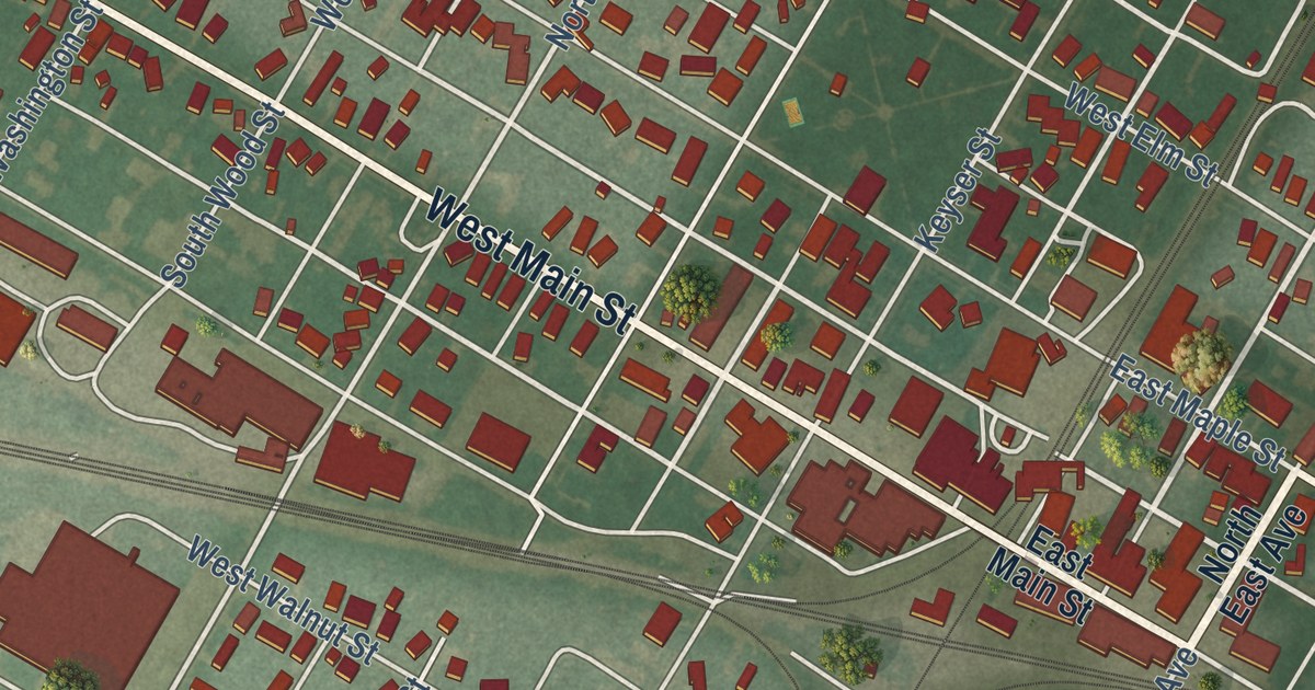
A detailed map of Deshler, Ohio, showing every building in its true location, the roads by name, and shaded topographical relief.
Read More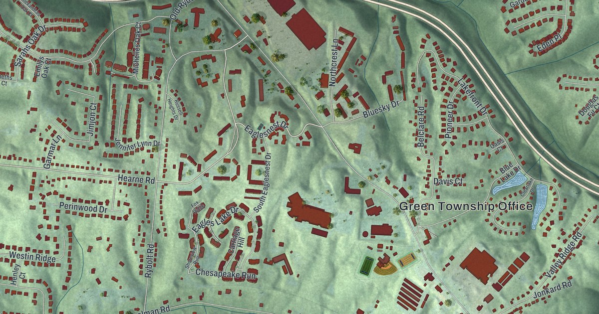
A detailed map of Dent, Ohio, showing every building in its true location, the roads by name, and shaded topographical relief.
Read More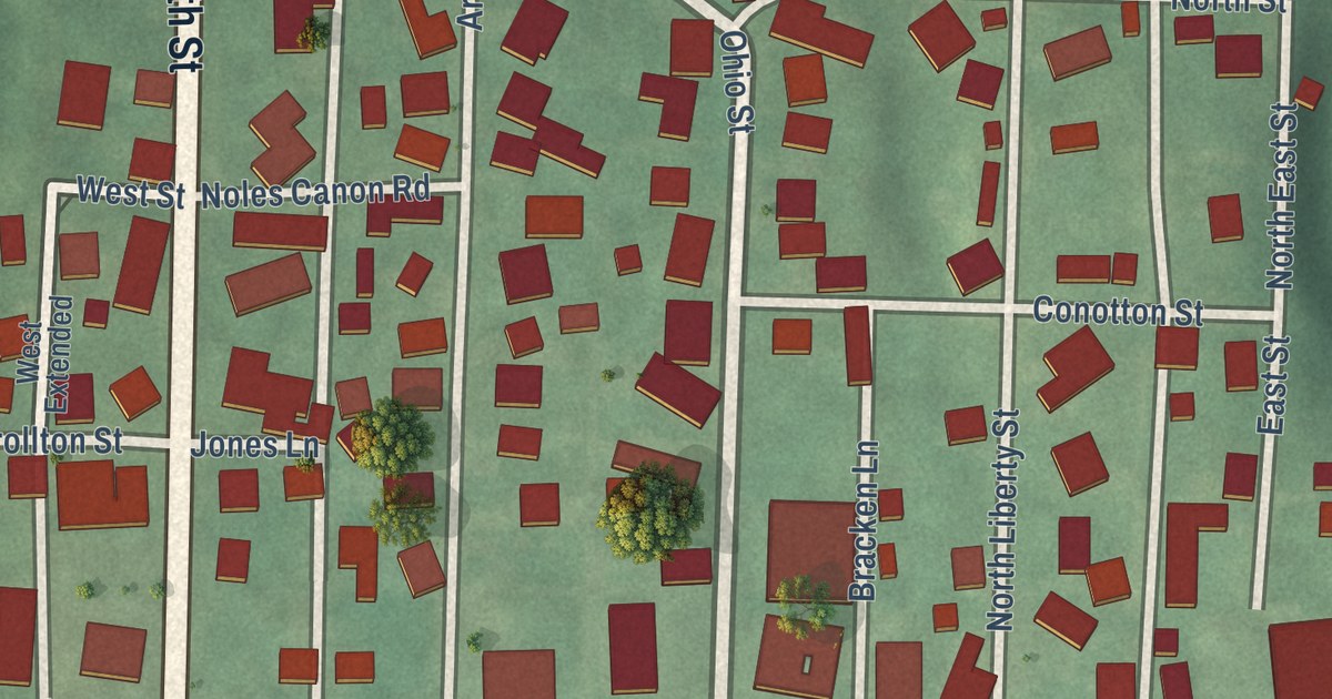
A detailed map of Dellroy, Ohio, showing every building in its true location, the roads by name, and shaded topographical relief.
Read More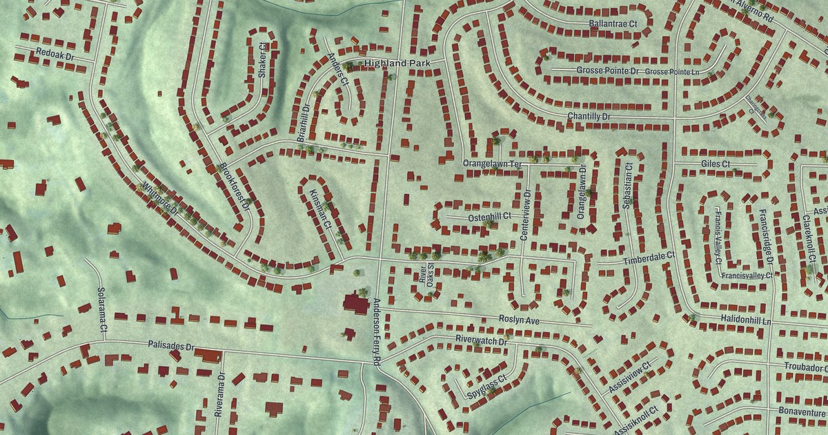
A detailed map of Delhi Hills, Ohio, showing every building in its true location, the roads by name, and shaded topographical relief.
Read More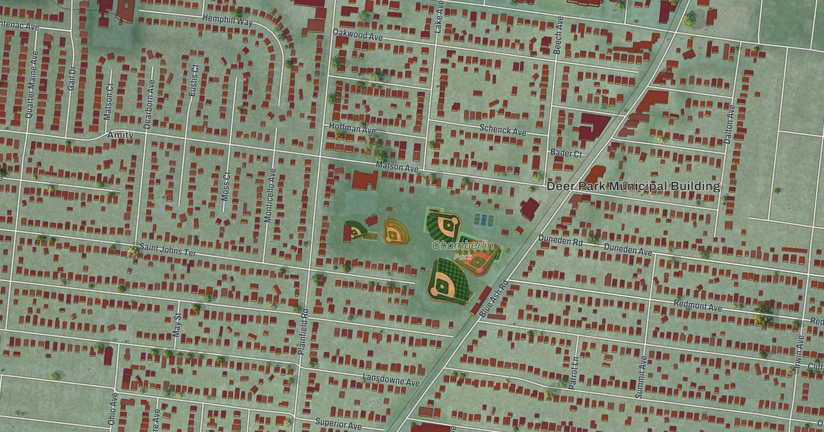
A detailed map of Deer Park, Ohio, showing every building in its true location, the roads by name, and shaded topographical relief.
Read More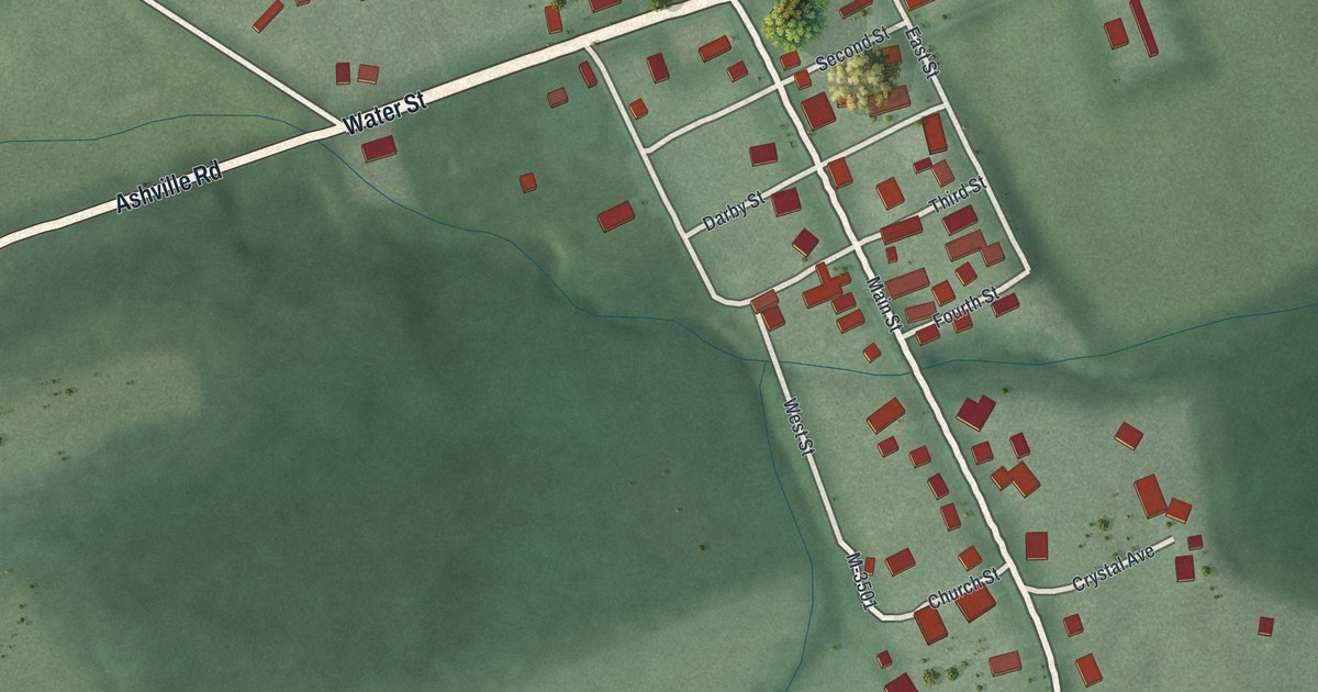
A detailed map of Darbyville, Ohio, showing every building in its true location, the roads by name, and shaded topographical relief.
Read More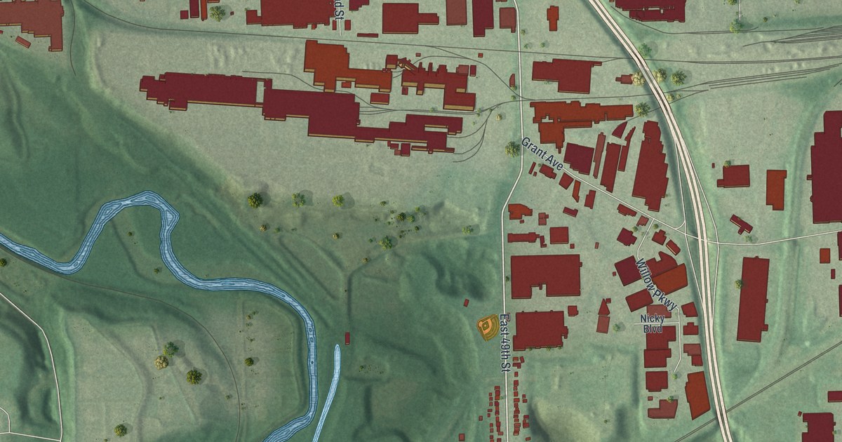
A detailed map of Cuyahoga Heights, Ohio, showing every building in its true location, the roads by name, and shaded topographical relief.
Read More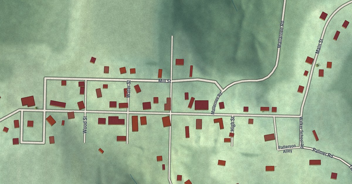
A detailed map of Deersville, Ohio, showing every building in its true location, the roads by name, and shaded topographical relief.
Read More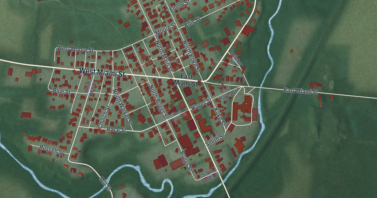
A detailed map of De Graff, Ohio, showing every building in its true location, the roads by name, and shaded topographical relief.
Read More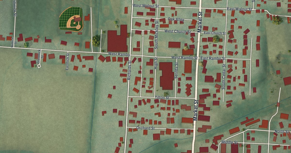
A detailed map of Danville, Ohio, showing every building in its true location, the roads by name, and shaded topographical relief.
Read More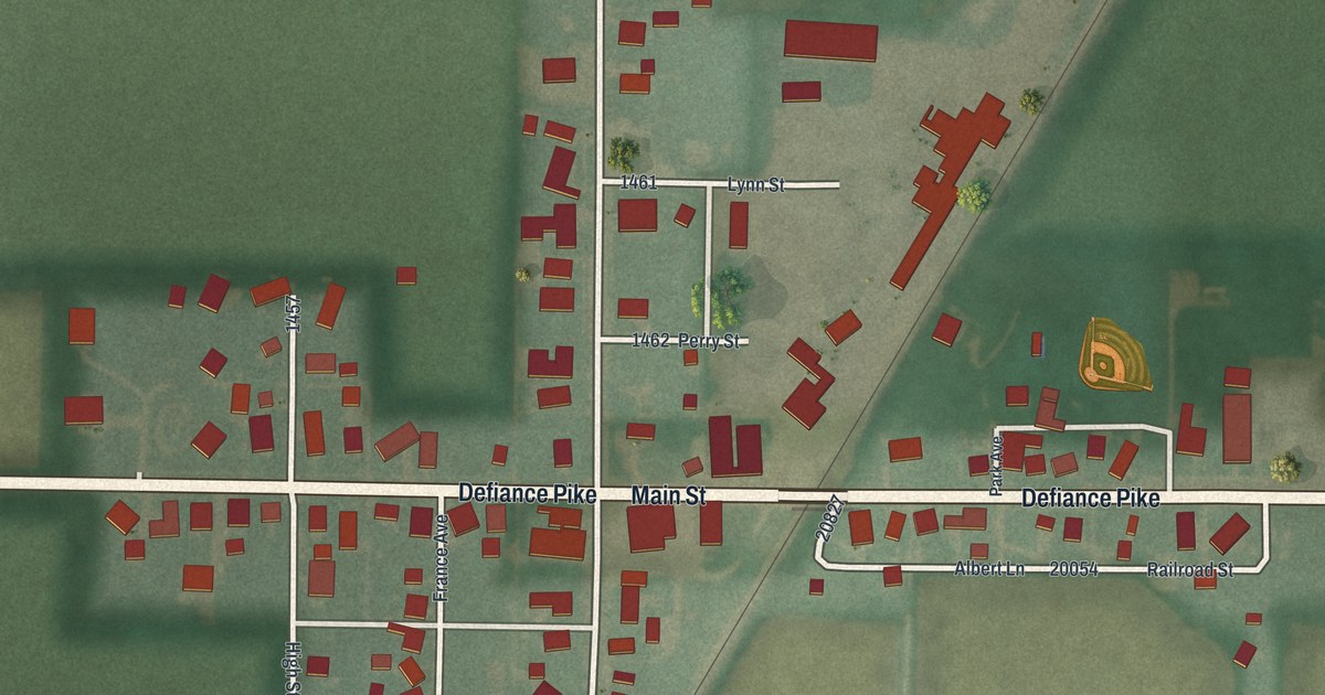
A detailed map of Custar, Ohio, showing every building in its true location, the roads by name, and shaded topographical relief.
Read More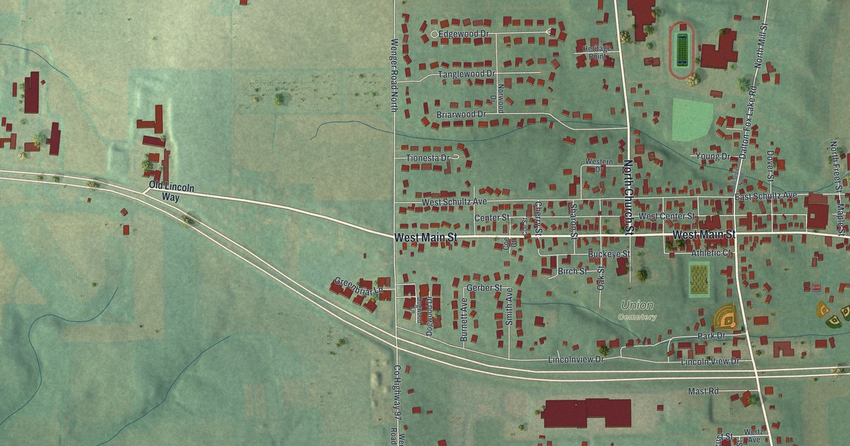
A detailed map of Dalton, Ohio, showing every building in its true location, the roads by name, and shaded topographical relief.
Read More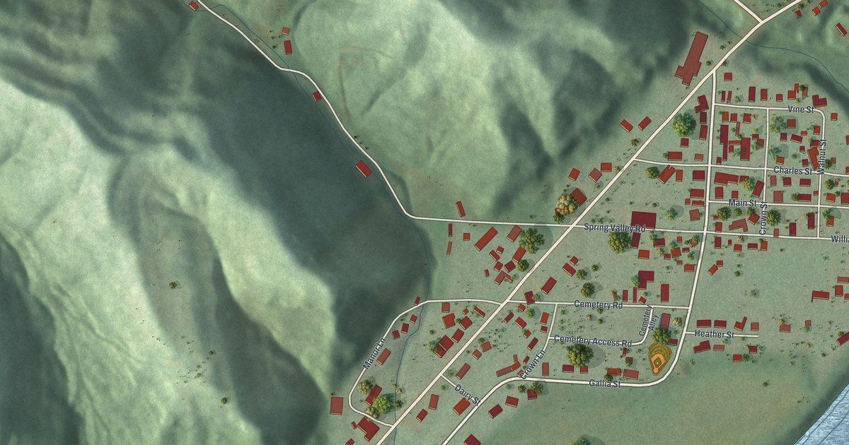
A detailed map of Crown City, Ohio, showing every building in its true location, the roads by name, and shaded topographical relief.
Read More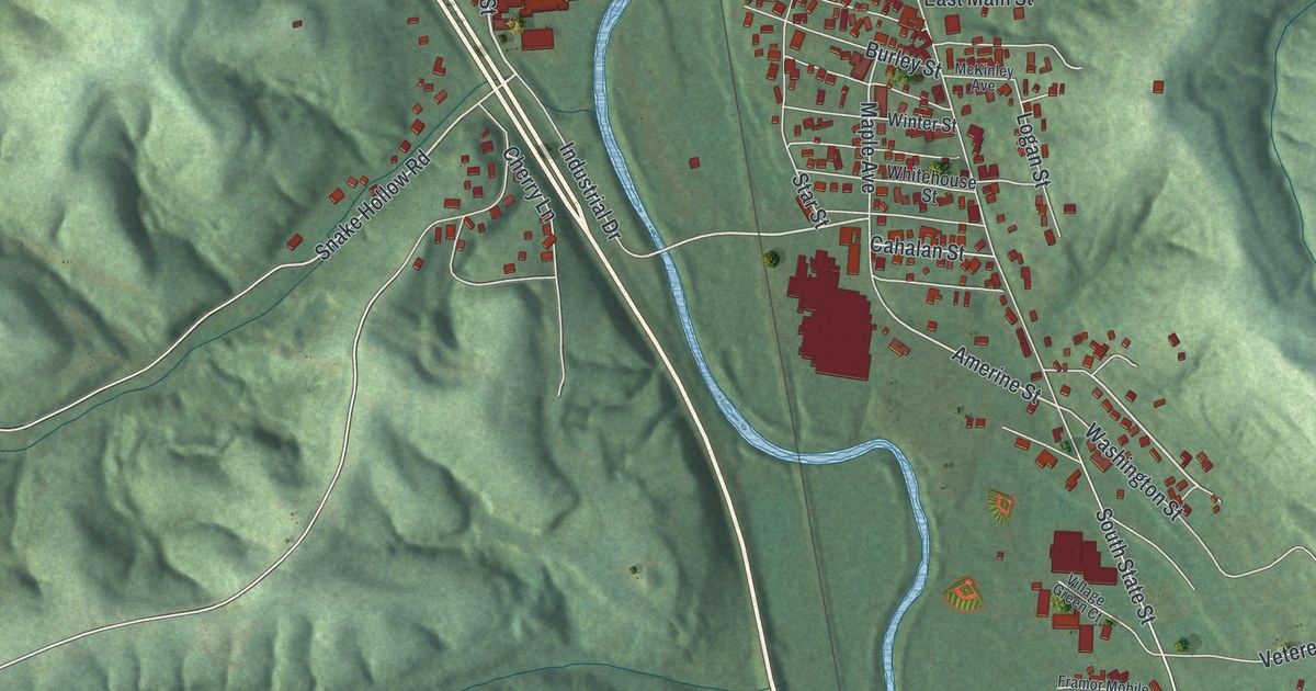
A detailed map of Crooksville, Ohio, showing every building in its true location, the roads by name, and shaded topographical relief.
Read More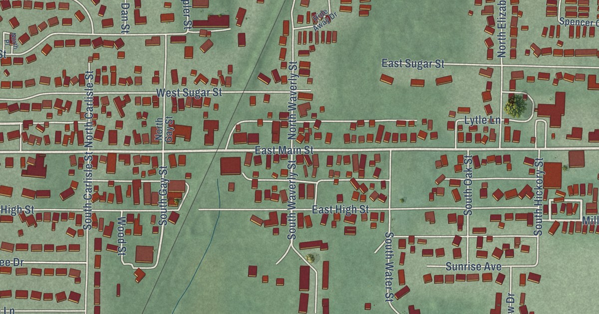
A detailed map of Cridersville, Ohio, showing every building in its true location, the roads by name, and shaded topographical relief.
Read More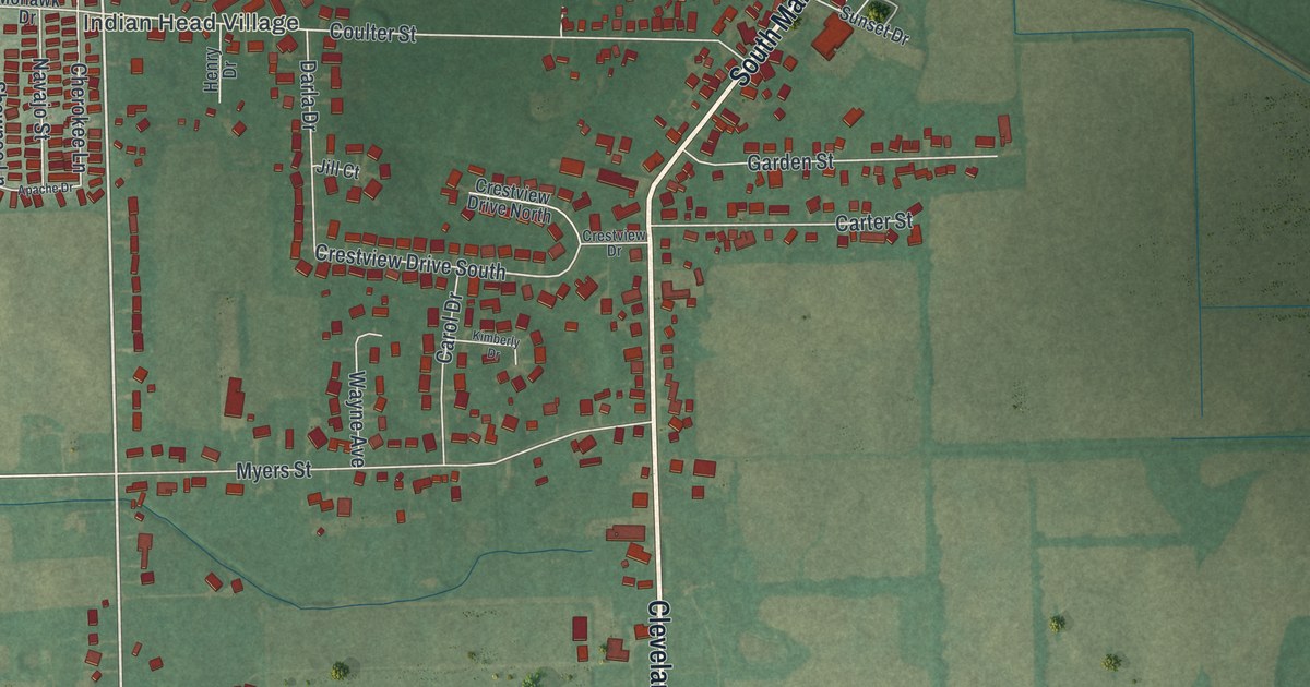
A detailed map of Creston, Ohio, showing every building in its true location, the roads by name, and shaded topographical relief.
Read More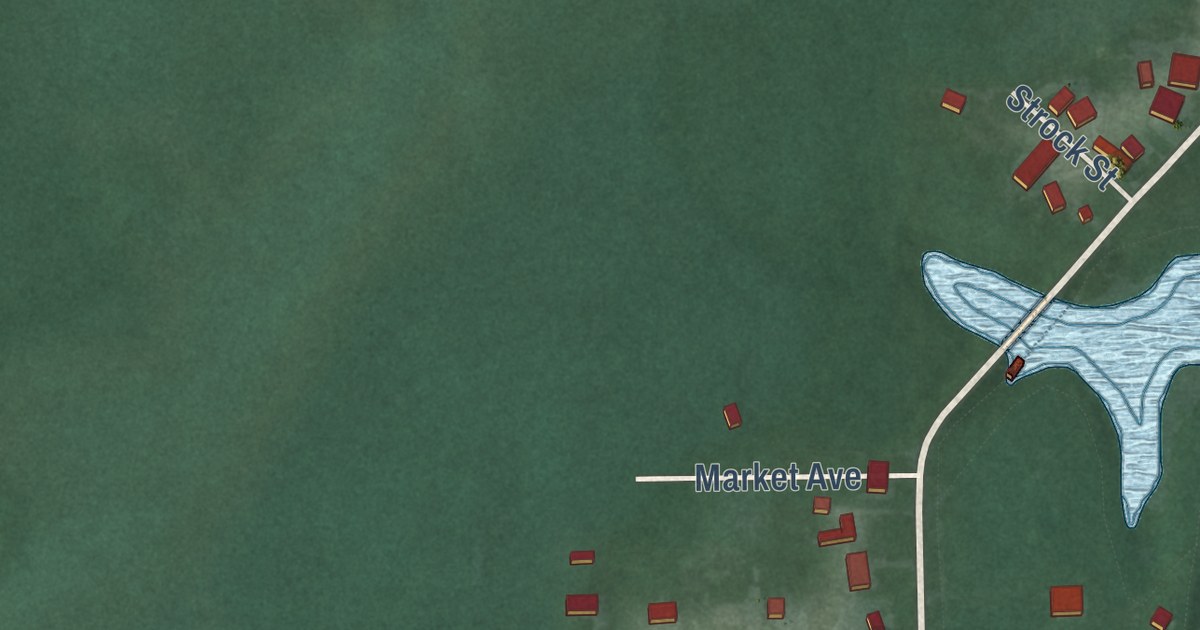
A detailed map of Craig Beach, Ohio, showing every building in its true location, the roads by name, and shaded topographical relief.
Read More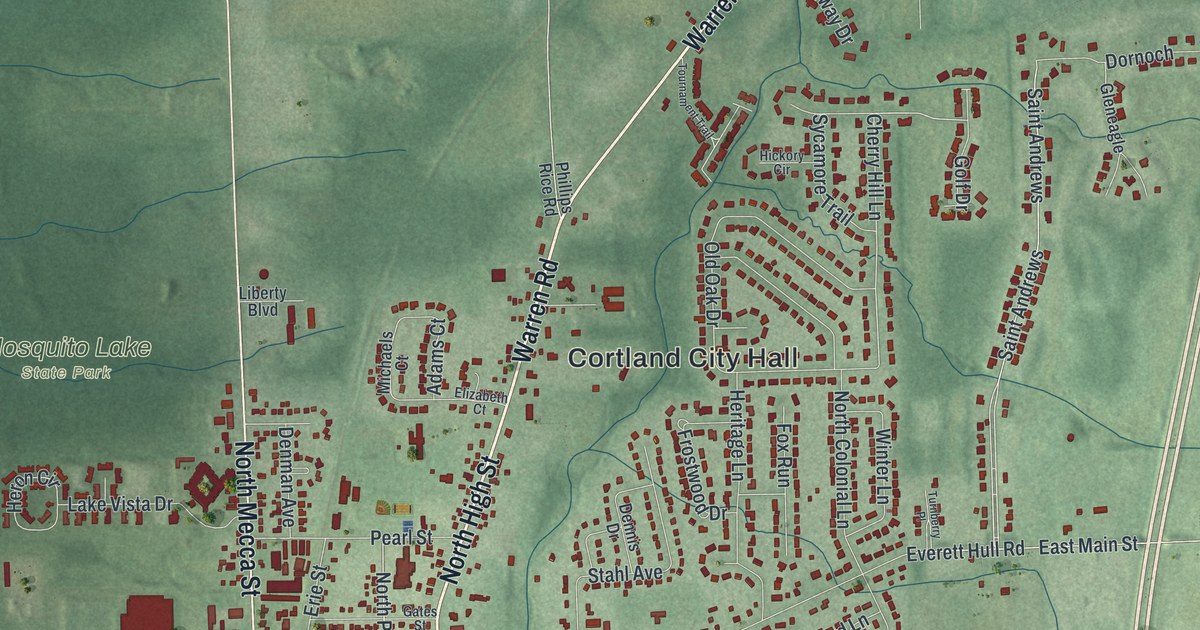
A detailed map of Cortland, Ohio, showing every building in its true location, the roads by name, and shaded topographical relief.
Read More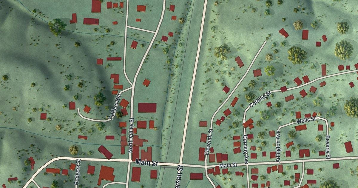
A detailed map of Corning, Ohio, showing every building in its true location, the roads by name, and shaded topographical relief.
Read More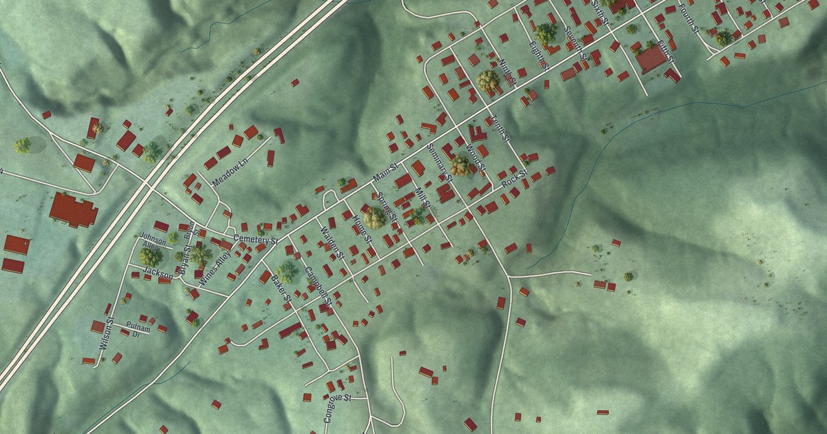
A detailed map of Coolville, Ohio, showing every building in its true location, the roads by name, and shaded topographical relief.
Read More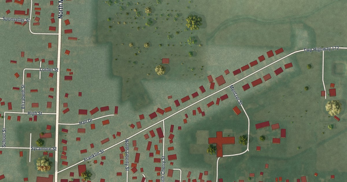
A detailed map of Convoy, Ohio, showing every building in its true location, the roads by name, and shaded topographical relief.
Read More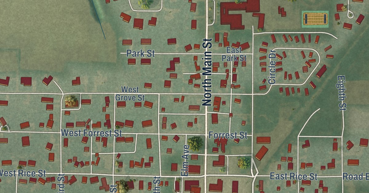
A detailed map of Continental, Ohio, showing every building in its true location, the roads by name, and shaded topographical relief.
Read More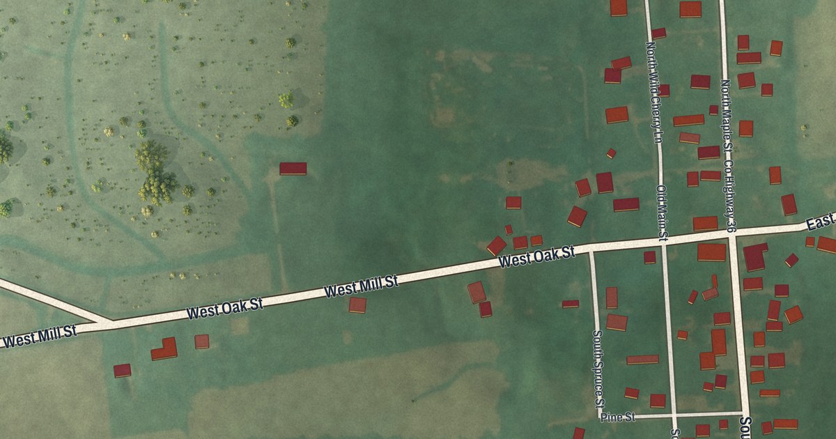
A detailed map of Congress, Ohio, showing every building in its true location, the roads by name, and shaded topographical relief.
Read More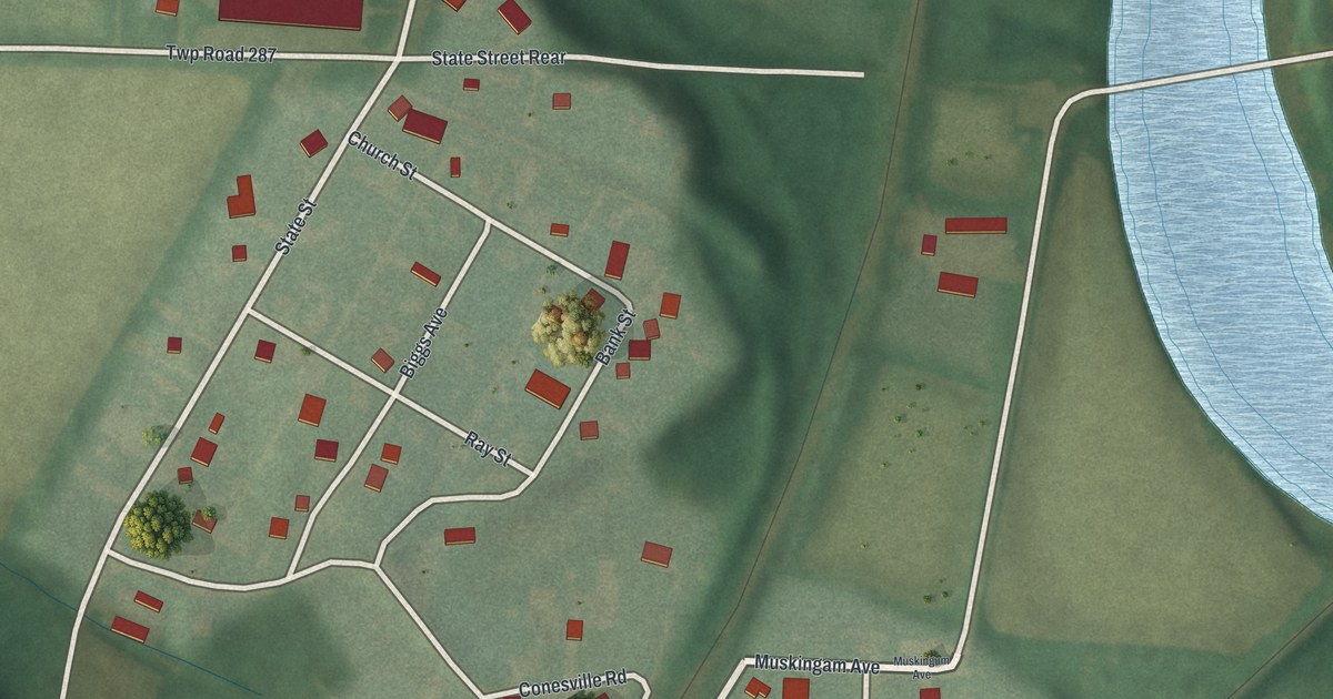
A detailed map of Conesville, Ohio, showing every building in its true location, the roads by name, and shaded topographical relief.
Read More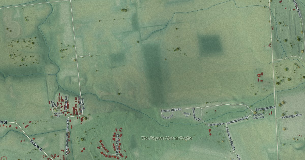
A detailed map of Commercial Point, Ohio, showing every building in its true location, the roads by name, and shaded topographical relief.
Read More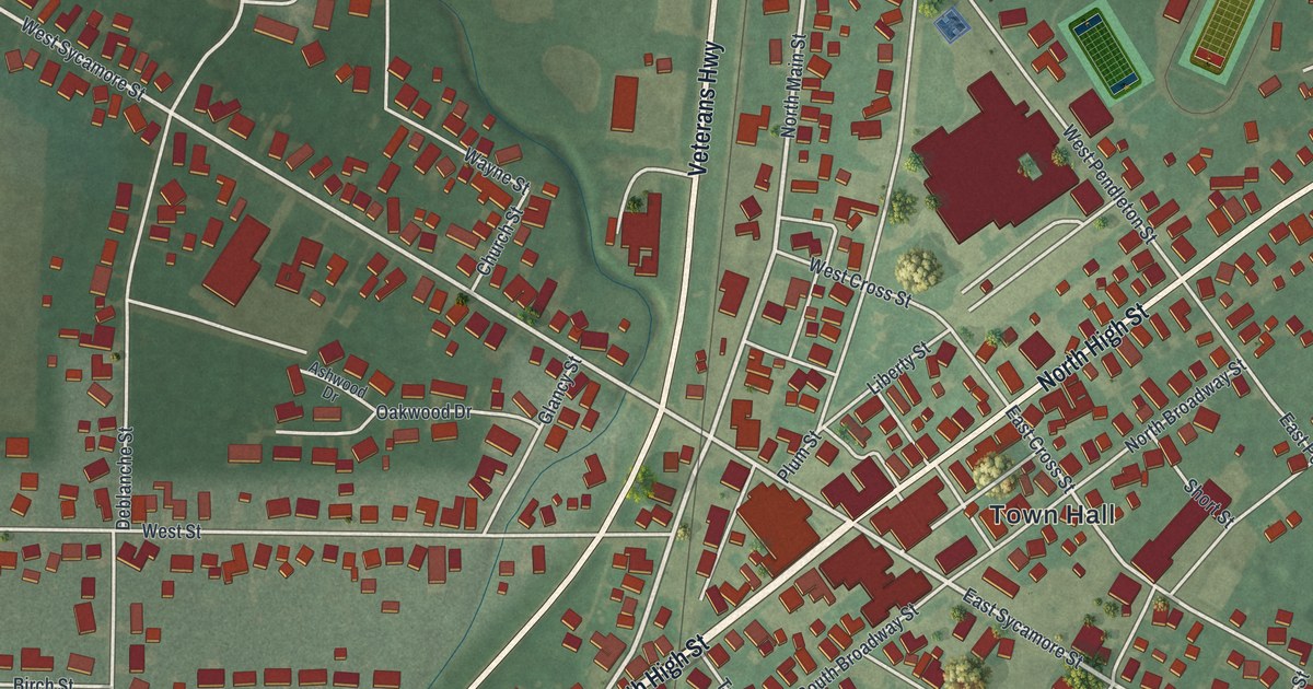
A detailed map of Columbus Grove, Ohio, showing every building in its true location, the roads by name, and shaded topographical relief.
Read More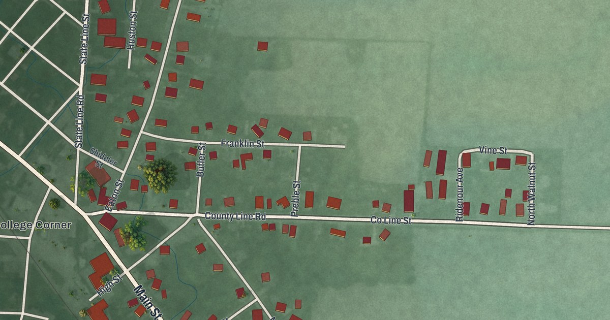
A detailed map of College Corner, Ohio, showing every building in its true location, the roads by name, and shaded topographical relief.
Read More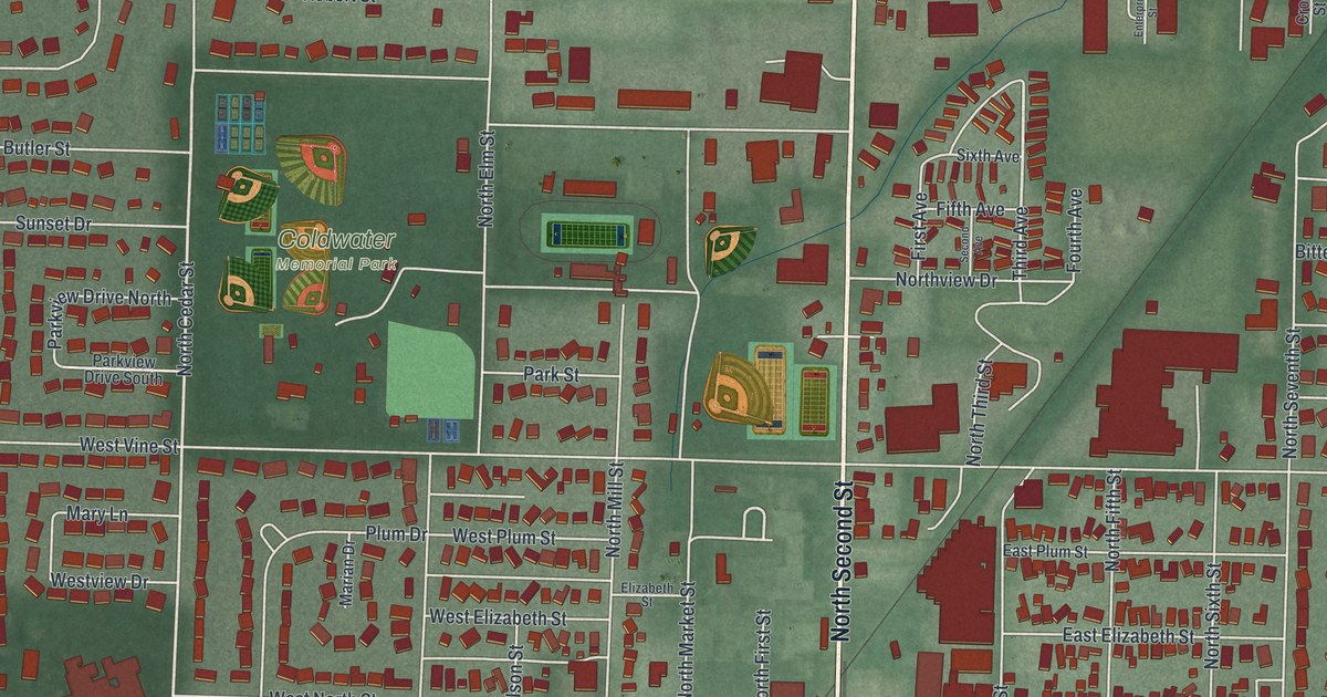
A detailed map of Coldwater, Ohio, showing every building in its true location, the roads by name, and shaded topographical relief.
Read More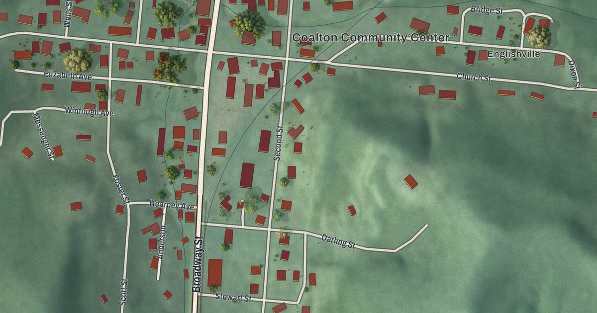
A detailed map of Coalton, Ohio, showing every building in its true location, the roads by name, and shaded topographical relief.
Read More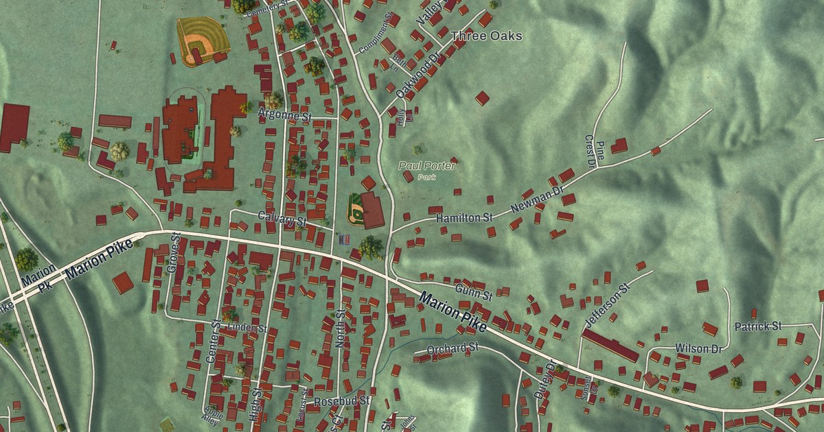
A detailed map of Coal Grove, Ohio, showing every building in its true location, the roads by name, and shaded topographical relief.
Read More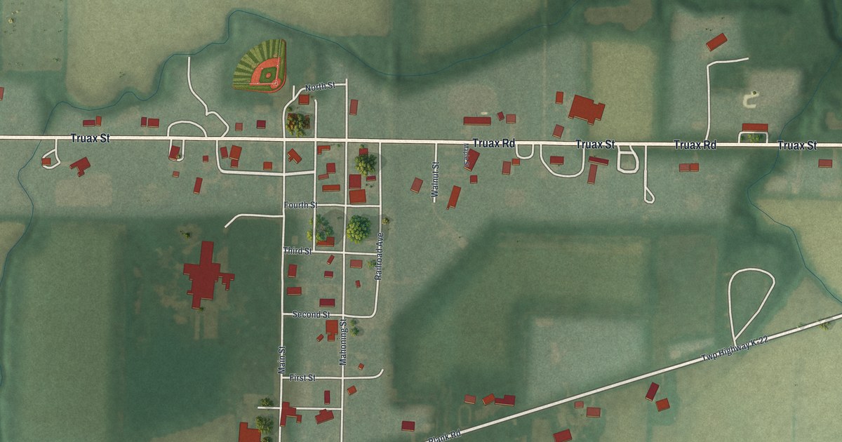
A detailed map of Cloverdale, Ohio, showing every building in its true location, the roads by name, and shaded topographical relief.
Read More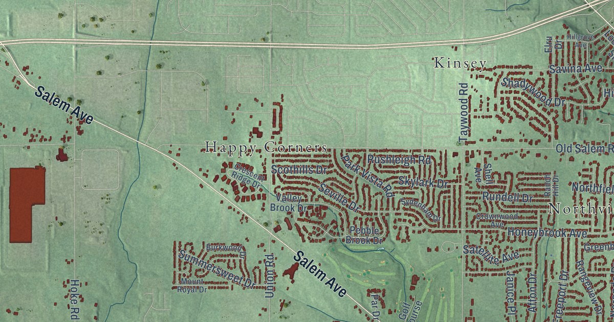
A detailed map of Clayton, Ohio, showing every building in its true location, the roads by name, and shaded topographical relief.
Read More















