Detailed Map of Schererville, Indiana
A detailed map of Schererville, Indiana, showing every building in its true location, the roads by name, and shaded topographical relief.
Read More
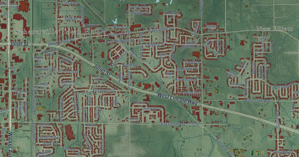
A detailed map of Schererville, Indiana, showing every building in its true location, the roads by name, and shaded topographical relief.
Read More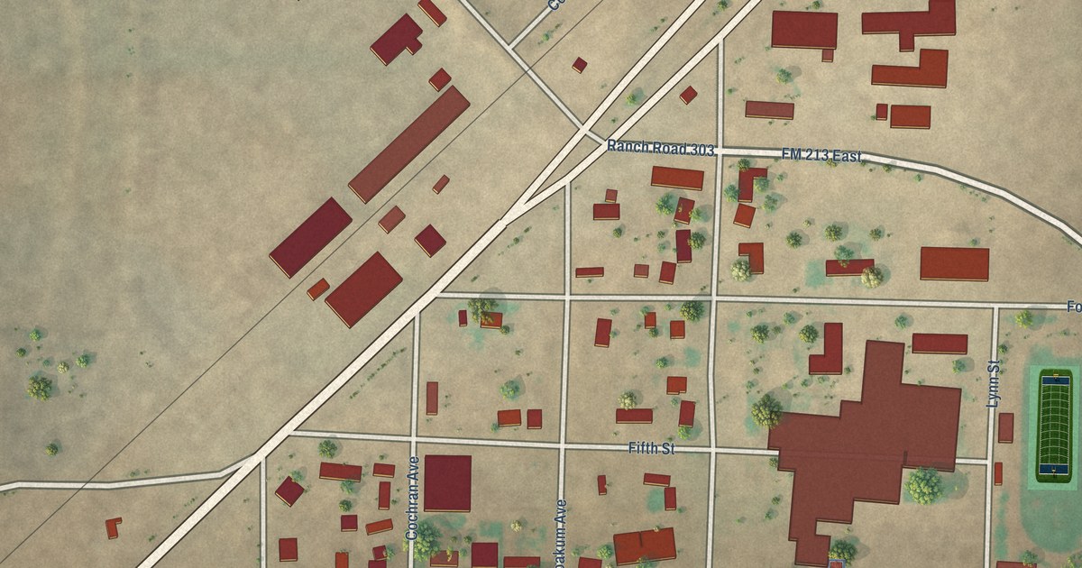
A detailed map of Wellman, Texas, showing every building in its true location, the roads by name, and shaded topographical relief.
Read More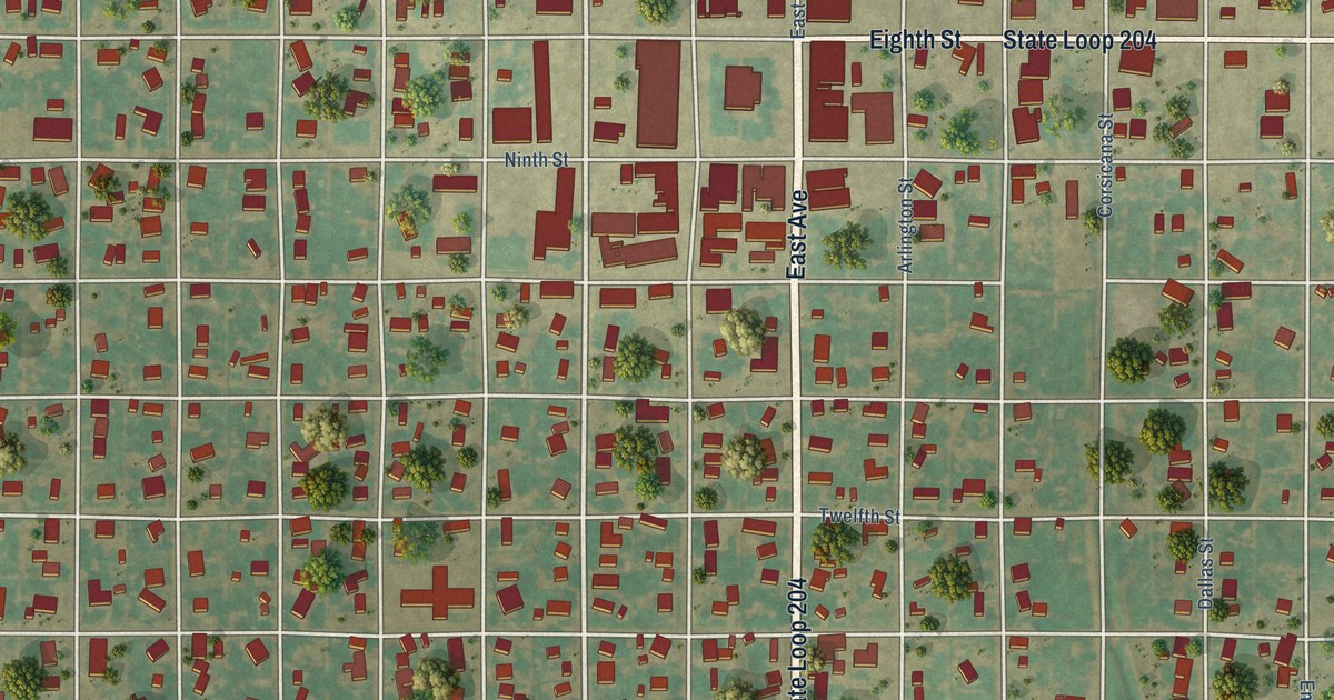
A detailed map of Wellington, Texas, showing every building in its true location, the roads by name, and shaded topographical relief.
Read More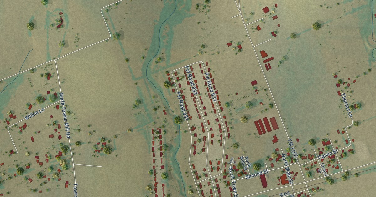
A detailed map of Weir, Texas, showing every building in its true location, the roads by name, and shaded topographical relief.
Read More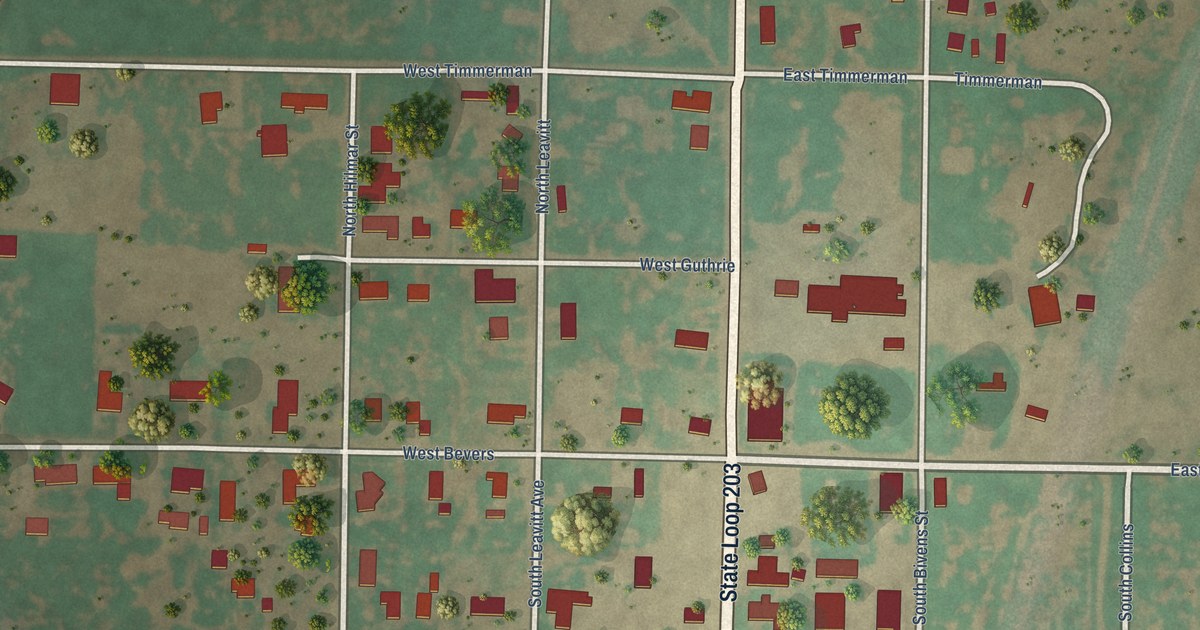
A detailed map of Weinert, Texas, showing every building in its true location, the roads by name, and shaded topographical relief.
Read More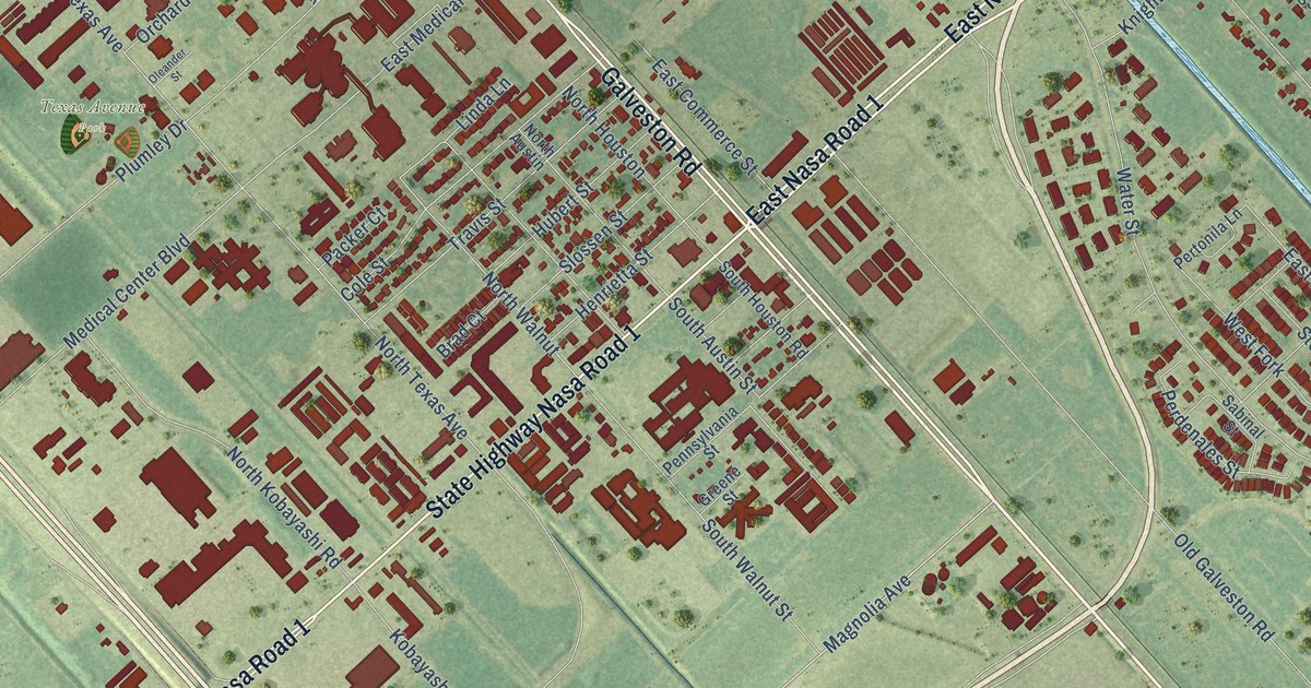
A detailed map of Webster, Texas, showing every building in its true location, the roads by name, and shaded topographical relief.
Read More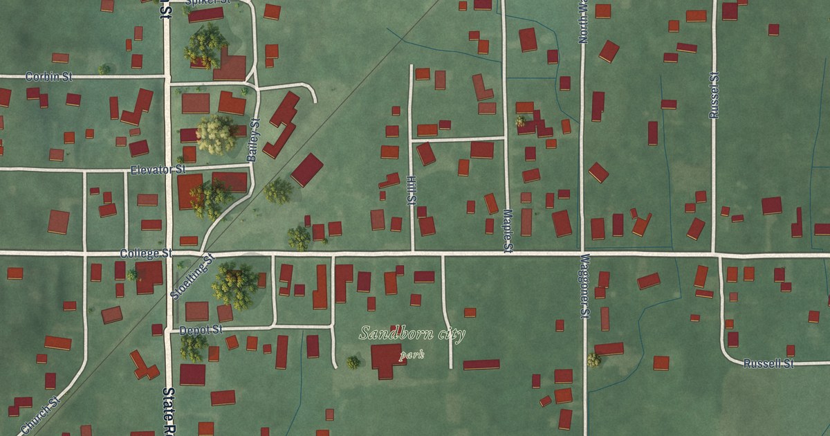
A detailed map of Sandborn, Indiana, showing every building in its true location, the roads by name, and shaded topographical relief.
Read More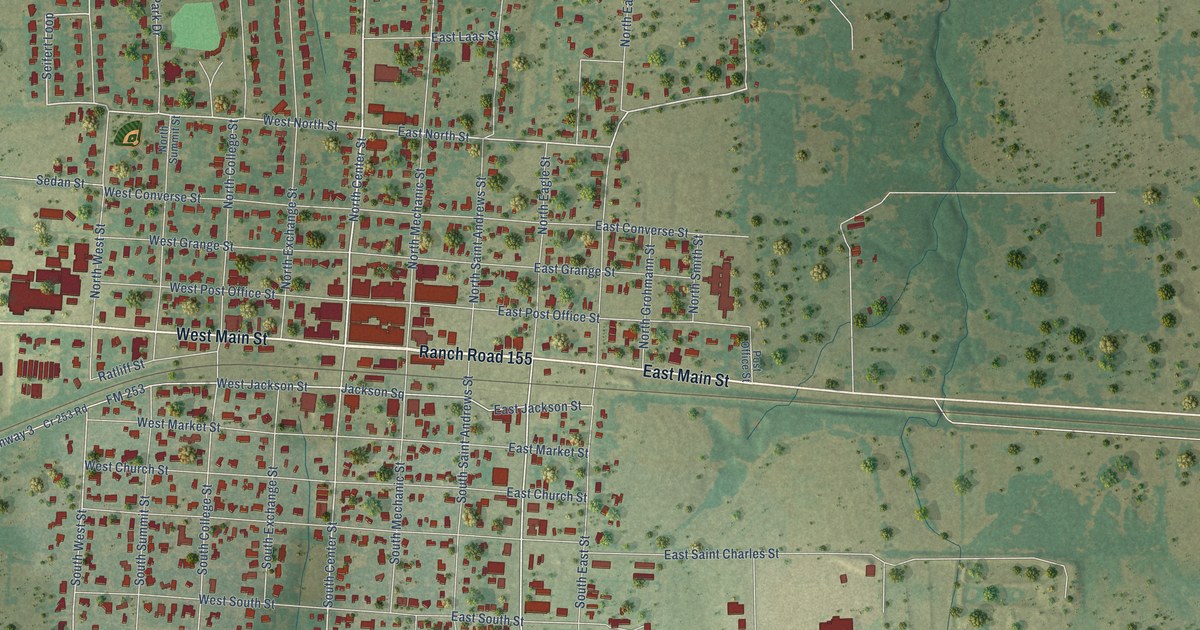
A detailed map of Weimar, Texas, showing every building in its true location, the roads by name, and shaded topographical relief.
Read More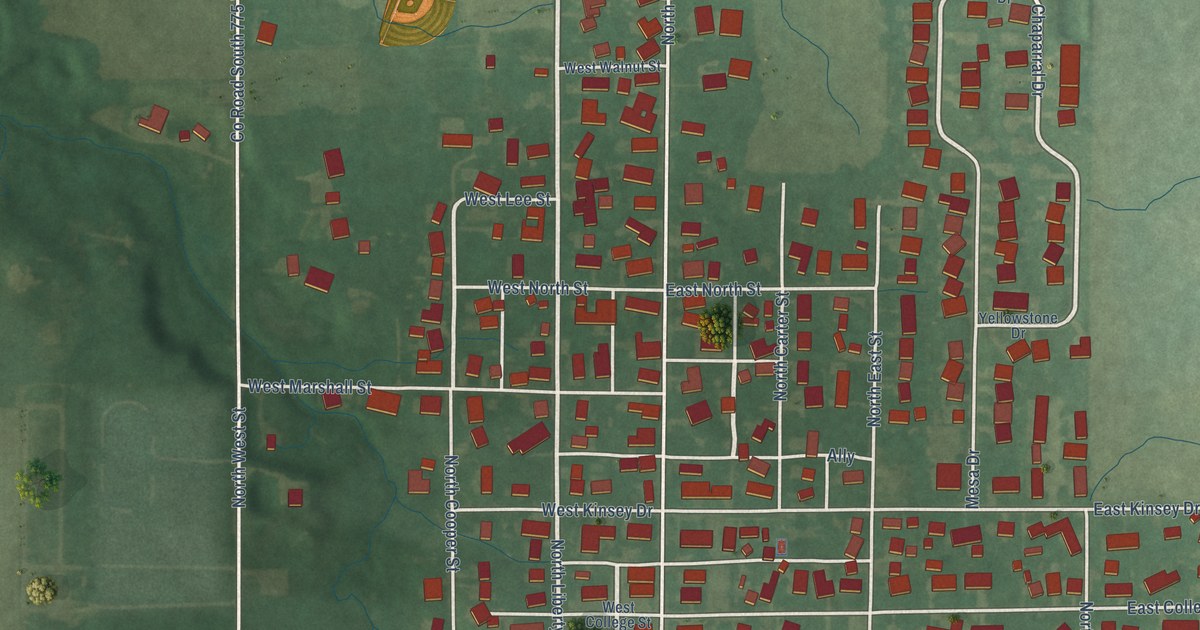
A detailed map of Russiaville, Indiana, showing every building in its true location, the roads by name, and shaded topographical relief.
Read More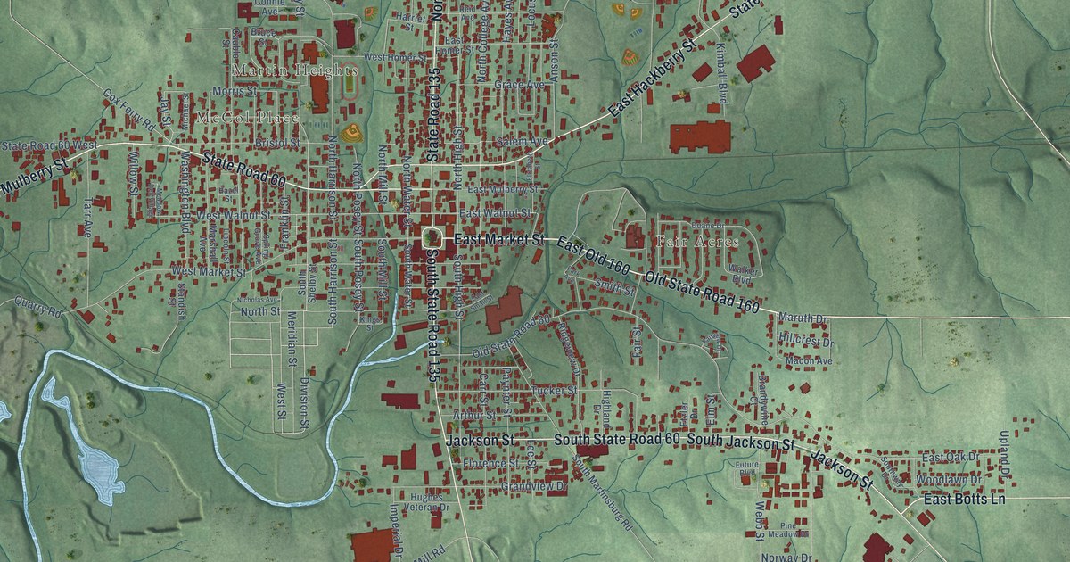
A detailed map of Salem, Indiana, showing every building in its true location, the roads by name, and shaded topographical relief.
Read More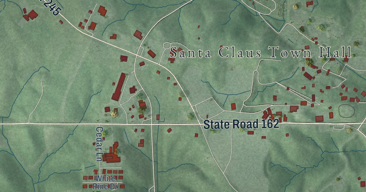
A detailed map of Santa Claus, Indiana, showing every building in its true location, the roads by name, and shaded topographical relief.
Read More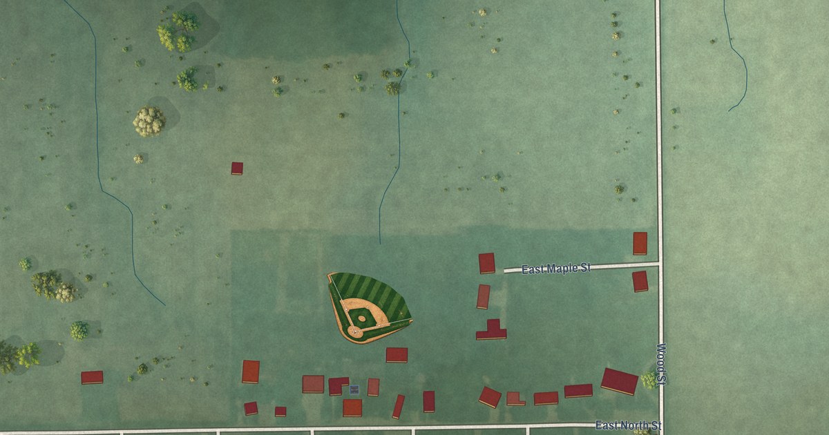
A detailed map of Salamonia, Indiana, showing every building in its true location, the roads by name, and shaded topographical relief.
Read More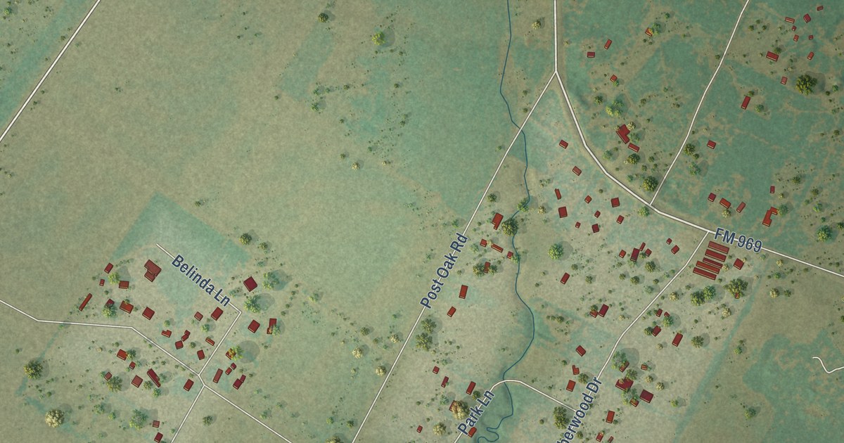
A detailed map of Webberville, Texas, showing every building in its true location, the roads by name, and shaded topographical relief.
Read More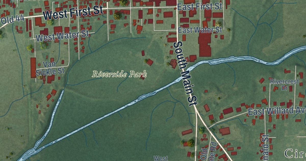
A detailed map of Rushville, Indiana, showing every building in its true location, the roads by name, and shaded topographical relief.
Read More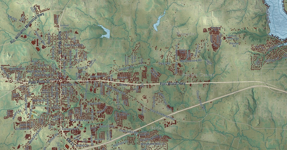
A detailed map of Weatherford, Texas, showing every building in its true location, the roads by name, and shaded topographical relief.
Read More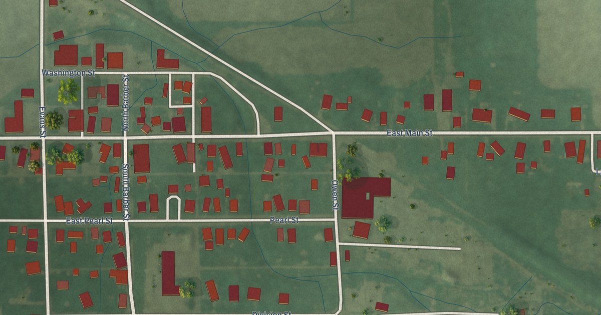
A detailed map of Saratoga, Indiana, showing every building in its true location, the roads by name, and shaded topographical relief.
Read More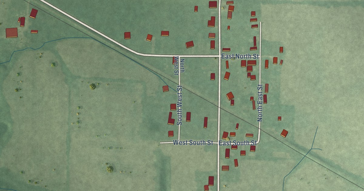
A detailed map of Saltillo, Indiana, showing every building in its true location, the roads by name, and shaded topographical relief.
Read More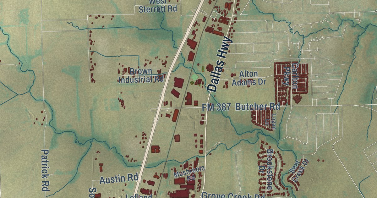
A detailed map of Waxahachie, Texas, showing every building in its true location, the roads by name, and shaded topographical relief.
Read More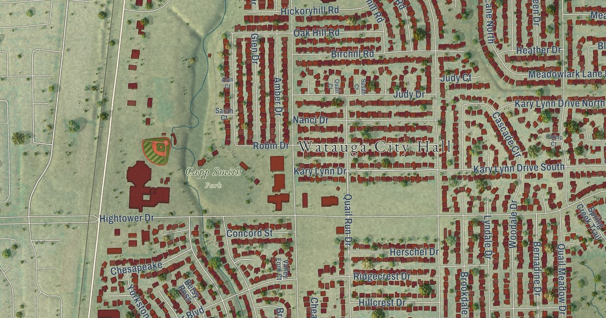
A detailed map of Watauga, Texas, showing every building in its true location, the roads by name, and shaded topographical relief.
Read More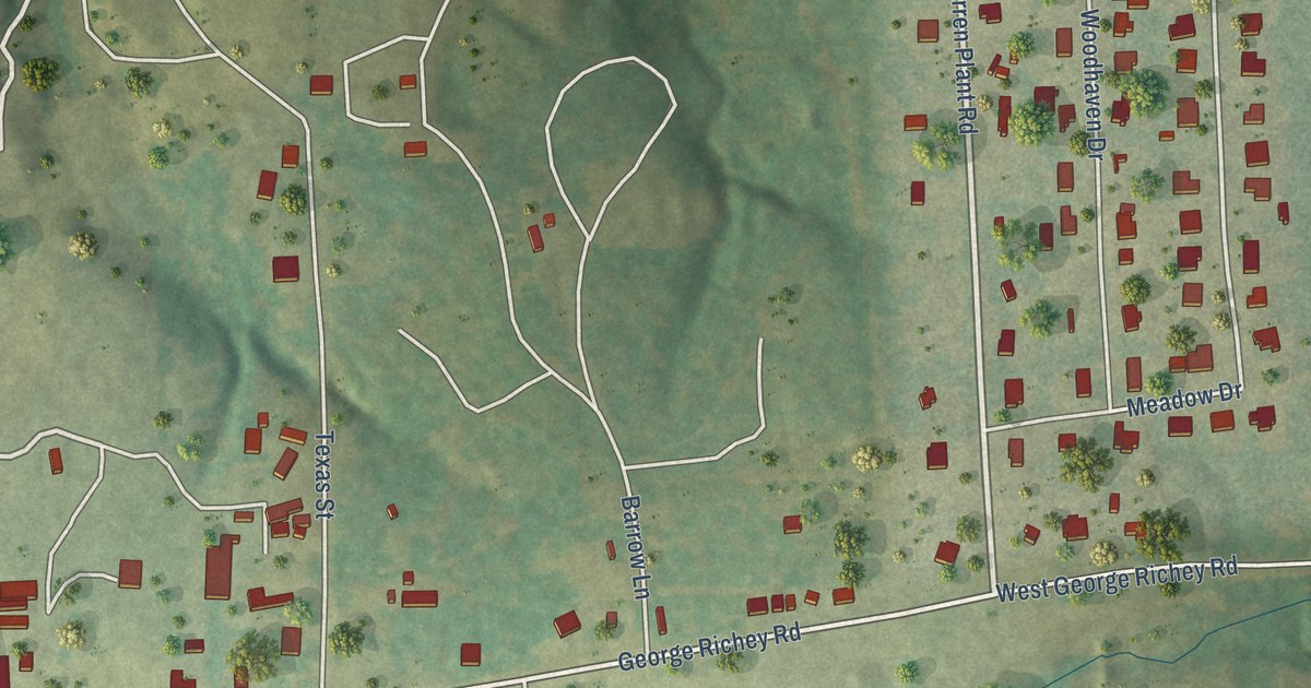
A detailed map of Warren City, Texas, showing every building in its true location, the roads by name, and shaded topographical relief.
Read More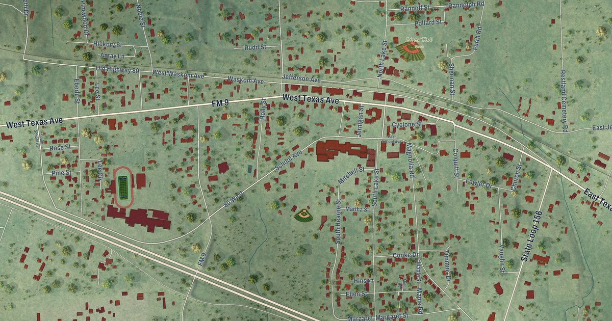
A detailed map of Waskom, Texas, showing every building in its true location, the roads by name, and shaded topographical relief.
Read More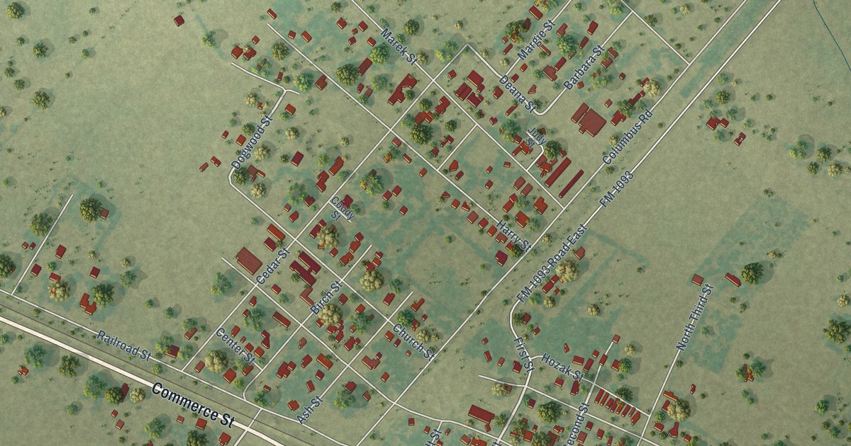
A detailed map of Wallis, Texas, showing every building in its true location, the roads by name, and shaded topographical relief.
Read More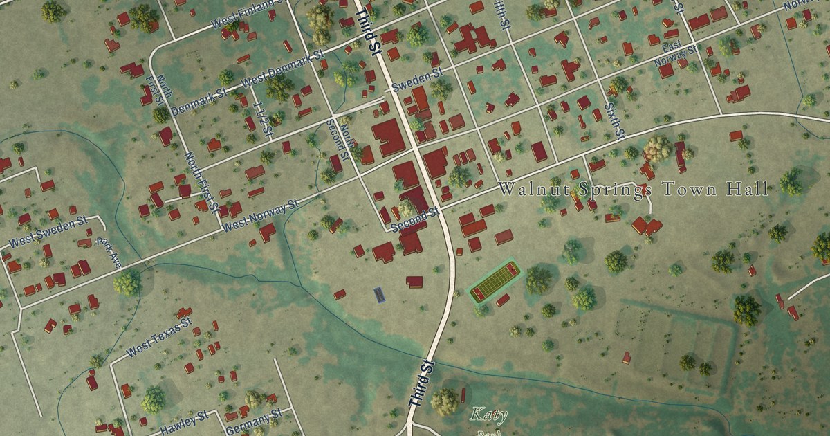
A detailed map of Walnut Springs, Texas, showing every building in its true location, the roads by name, and shaded topographical relief.
Read More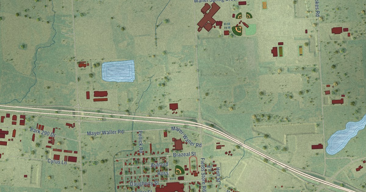
A detailed map of Waller, Texas, showing every building in its true location, the roads by name, and shaded topographical relief.
Read More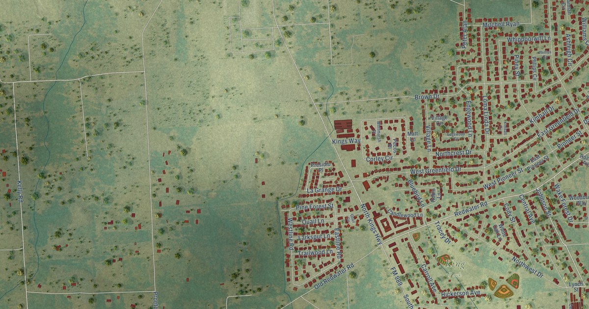
A detailed map of Wake Village, Texas, showing every building in its true location, the roads by name, and shaded topographical relief.
Read More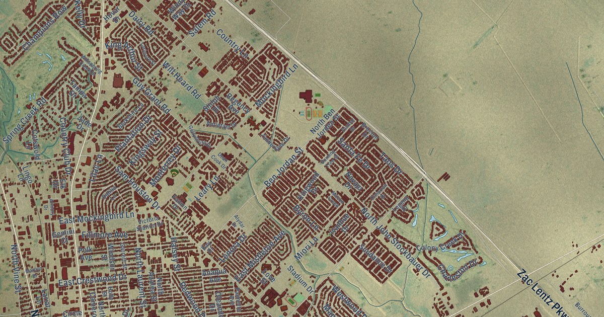
A detailed map of Victoria, Texas, showing every building in its true location, the roads by name, and shaded topographical relief.
Read More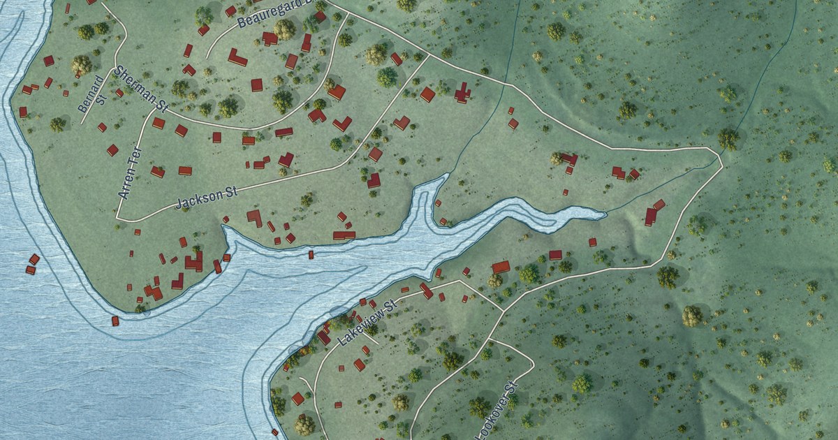
A detailed map of Volente, Texas, showing every building in its true location, the roads by name, and shaded topographical relief.
Read More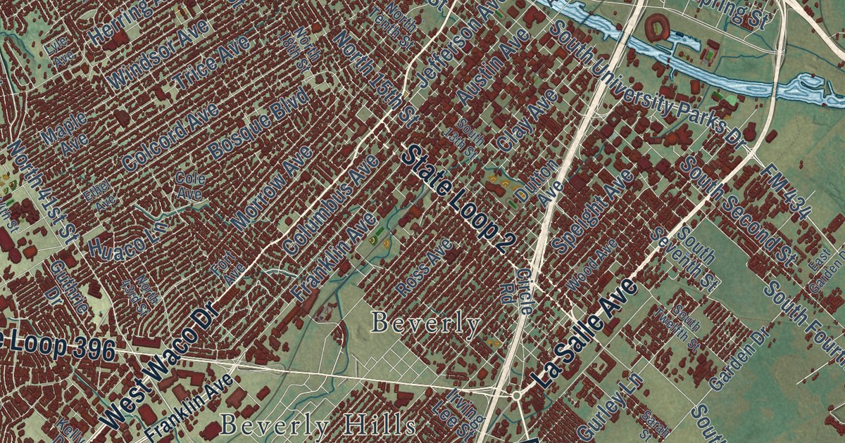
A detailed map of Waco, Texas, showing every building in its true location, the roads by name, and shaded topographical relief.
Read More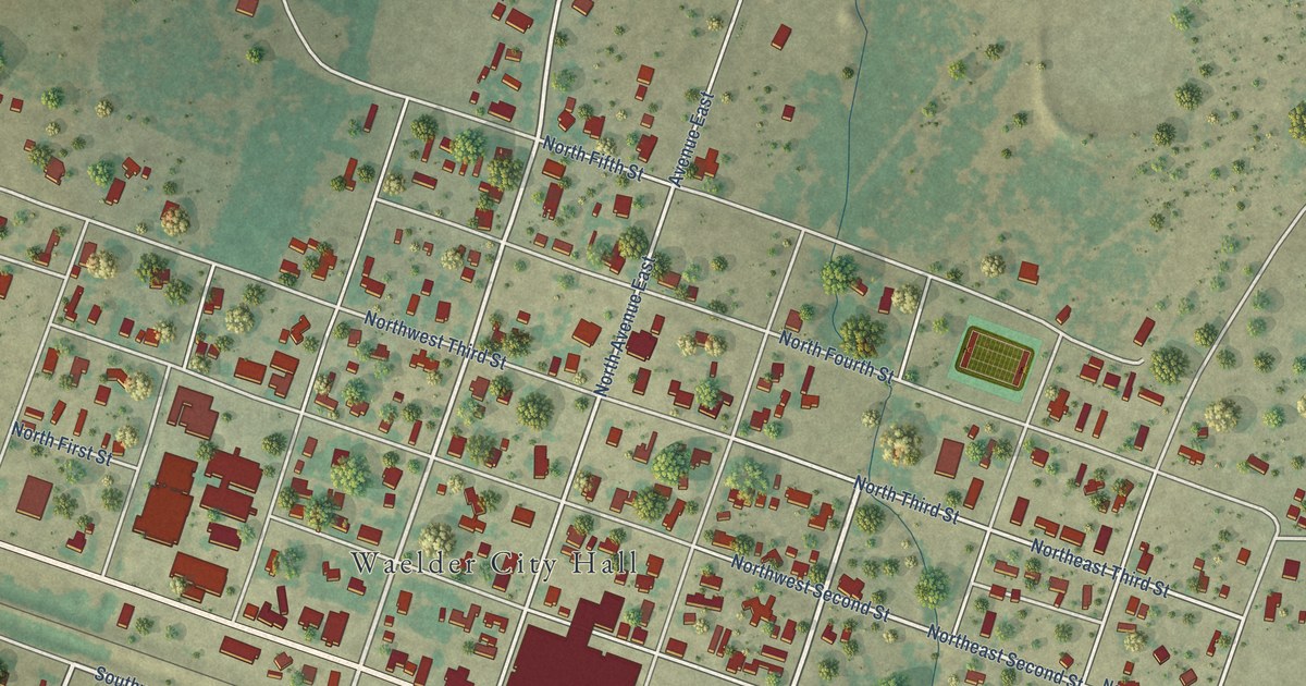
A detailed map of Waelder, Texas, showing every building in its true location, the roads by name, and shaded topographical relief.
Read More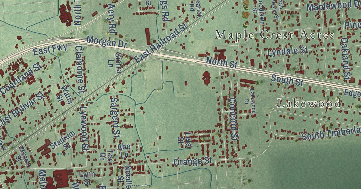
A detailed map of Vidor, Texas, showing every building in its true location, the roads by name, and shaded topographical relief.
Read More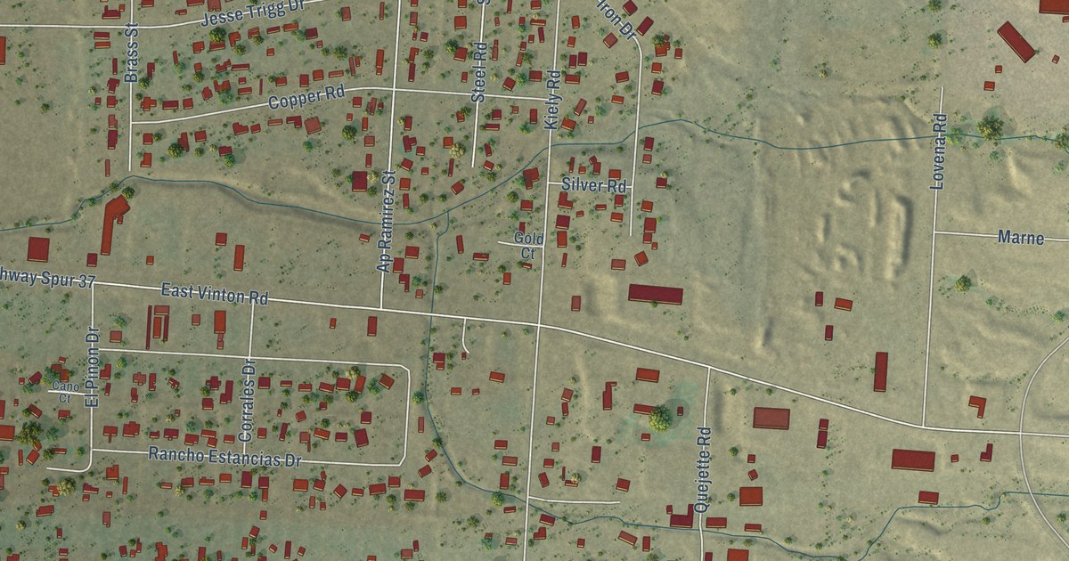
A detailed map of Vinton, Texas, showing every building in its true location, the roads by name, and shaded topographical relief.
Read More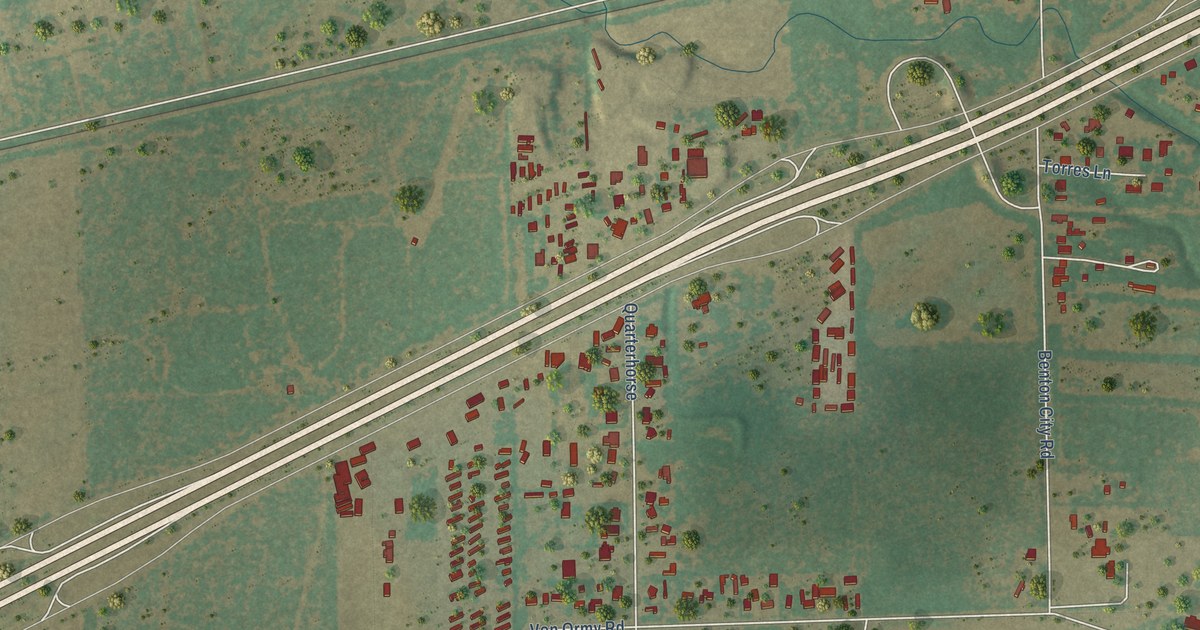
A detailed map of Von Ormy, Texas, showing every building in its true location, the roads by name, and shaded topographical relief.
Read More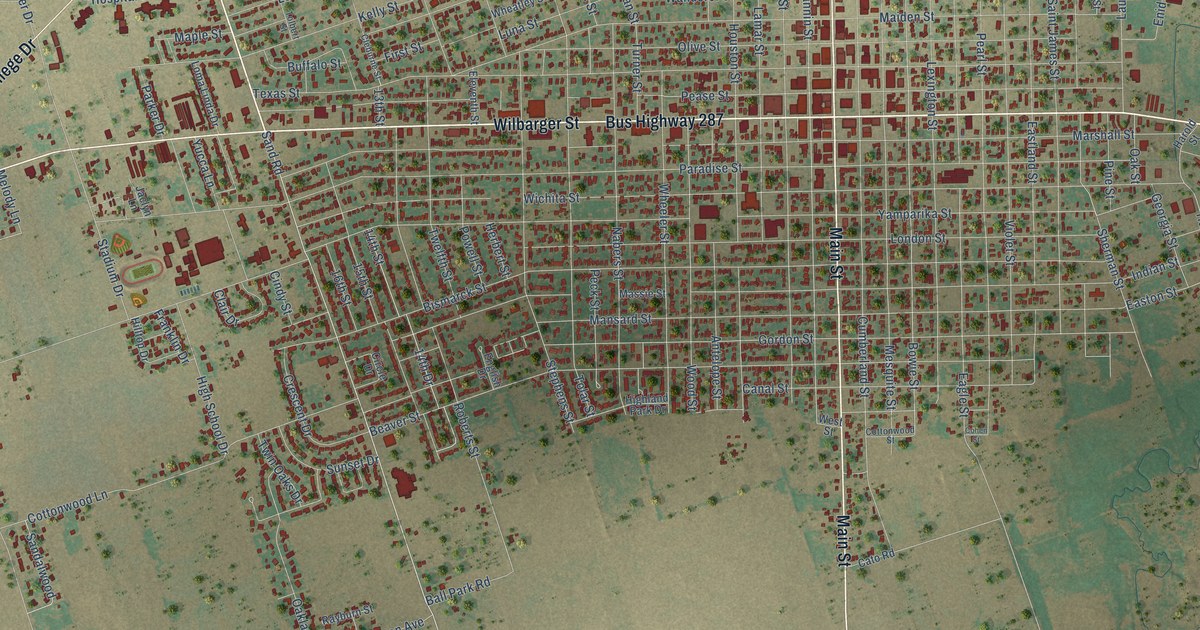
A detailed map of Vernon, Texas, showing every building in its true location, the roads by name, and shaded topographical relief.
Read More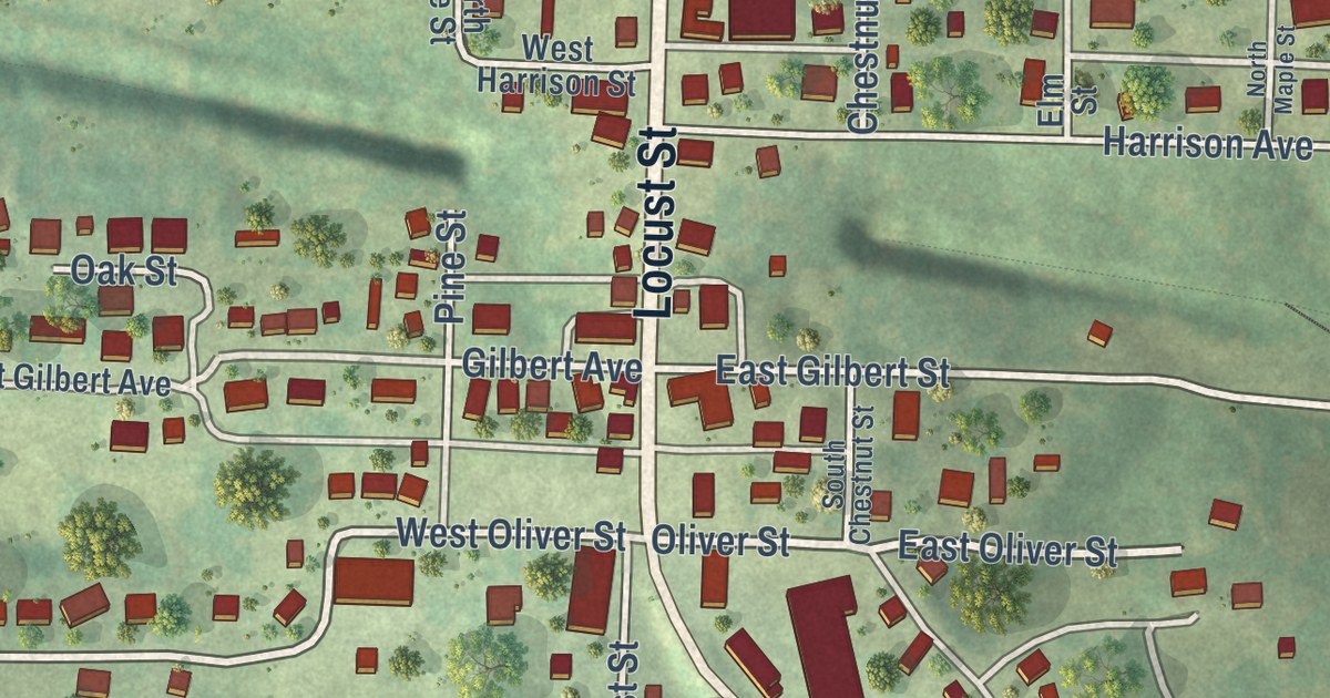
A detailed map of Freeburg, Missouri, showing every building in its true location, the roads by name, and shaded topographical relief.
Read More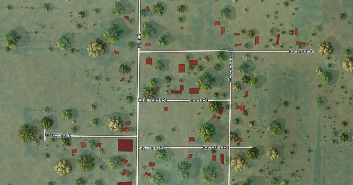
A detailed map of Freistatt, Missouri, showing every building in its true location, the roads by name, and shaded topographical relief.
Read More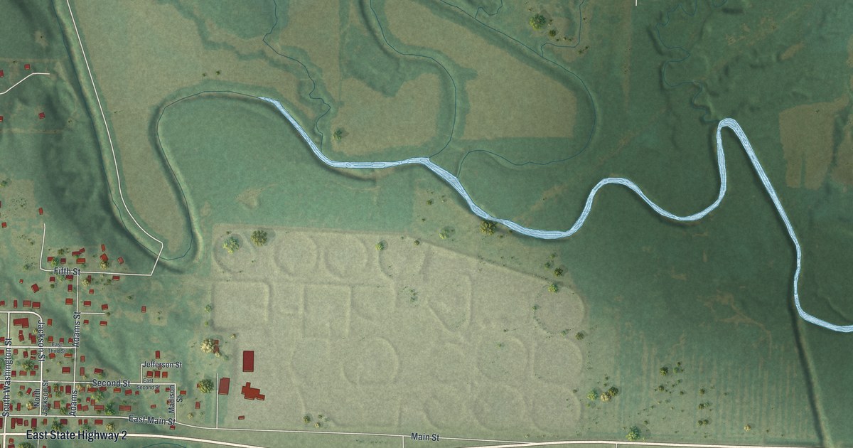
A detailed map of Freeman, Missouri, showing every building in its true location, the roads by name, and shaded topographical relief.
Read More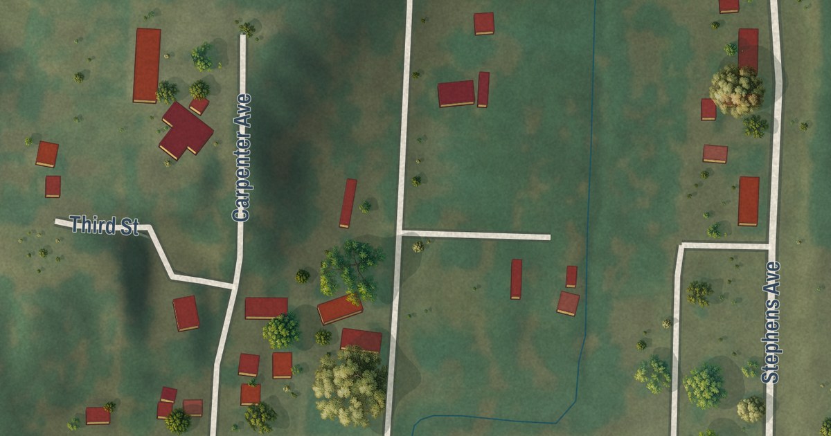
A detailed map of Franklin, Missouri, showing every building in its true location, the roads by name, and shaded topographical relief.
Read More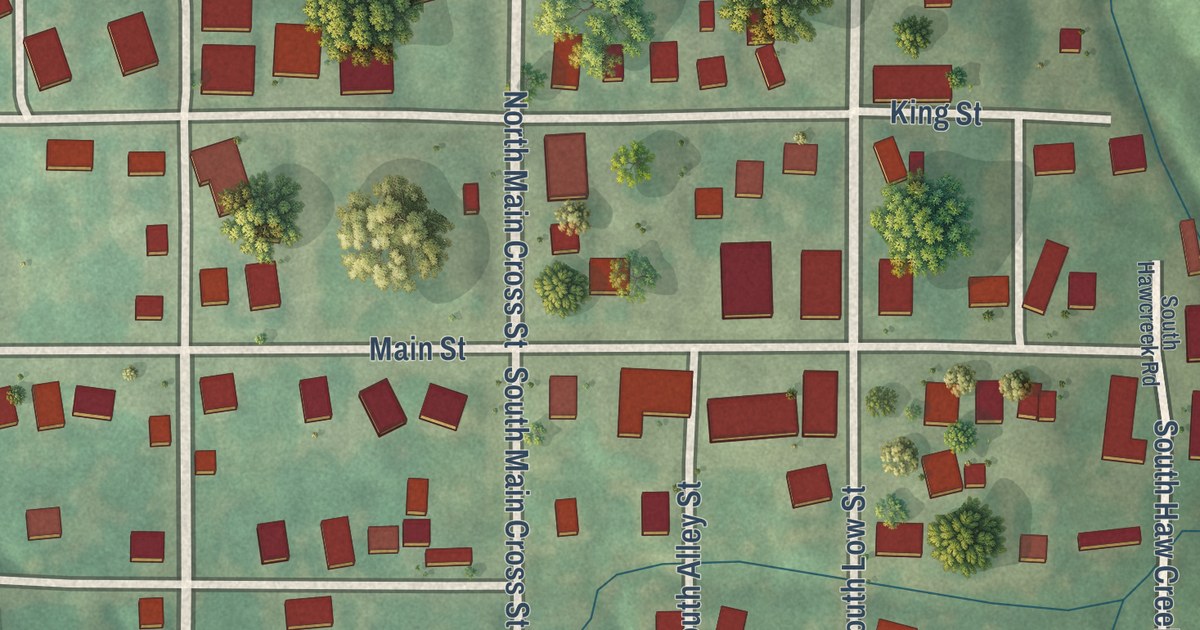
A detailed map of Frankford, Missouri, showing every building in its true location, the roads by name, and shaded topographical relief.
Read More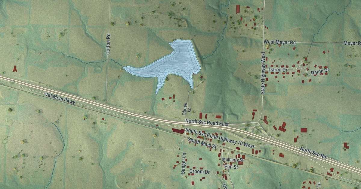
A detailed map of Foristell, Missouri, showing every building in its true location, the roads by name, and shaded topographical relief.
Read More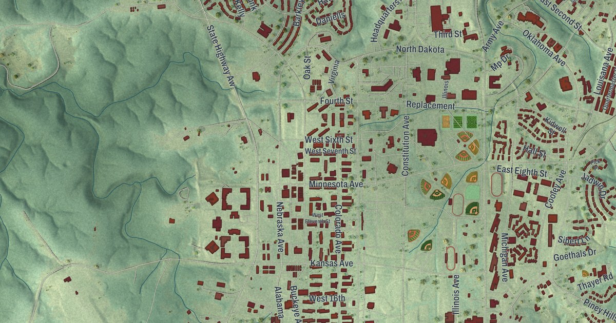
A detailed map of Fort Leonard Wood, Missouri, showing every building in its true location, the roads by name, and shaded topographical relief.
Read More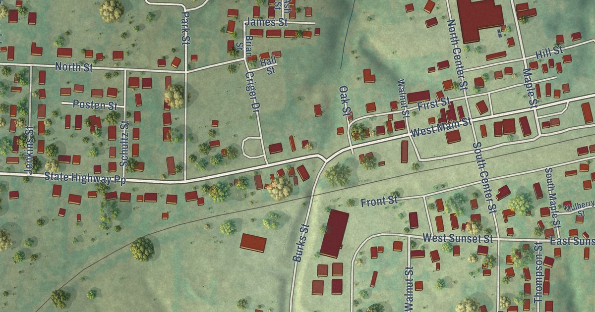
A detailed map of Fordland, Missouri, showing every building in its true location, the roads by name, and shaded topographical relief.
Read More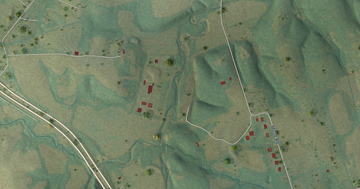
A detailed map of Flint Hill, Missouri, showing every building in its true location, the roads by name, and shaded topographical relief.
Read More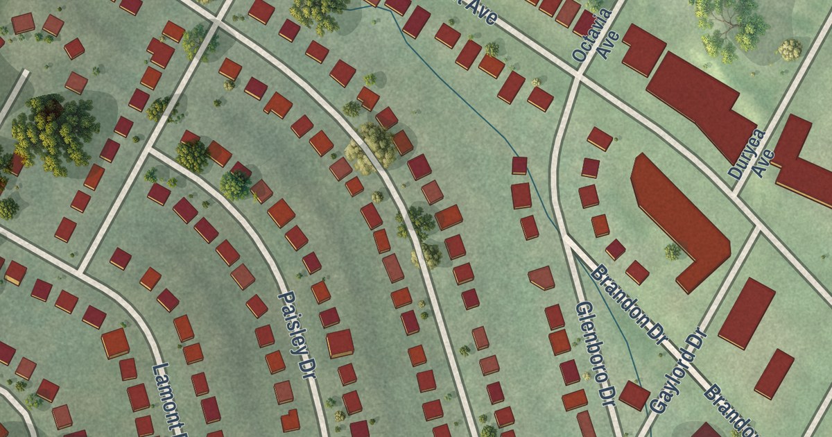
A detailed map of Flordell Hills, Missouri, showing every building in its true location, the roads by name, and shaded topographical relief.
Read More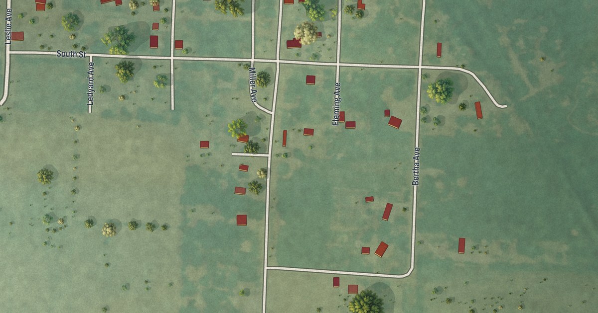
A detailed map of Flemington, Missouri, showing every building in its true location, the roads by name, and shaded topographical relief.
Read More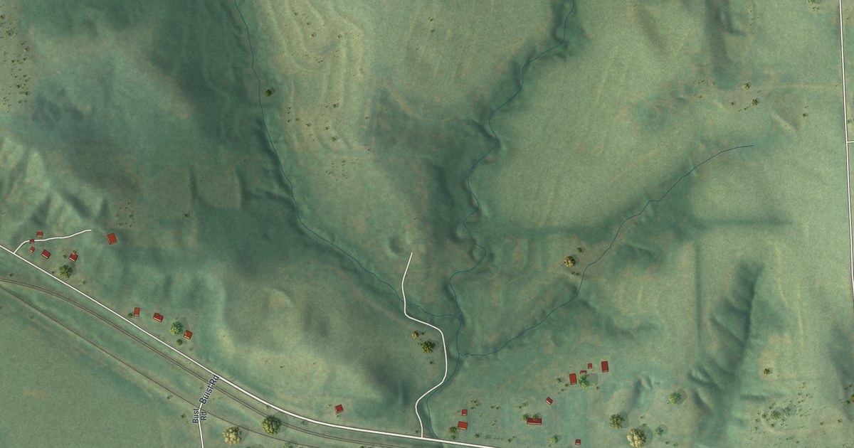
A detailed map of Fleming, Missouri, showing every building in its true location, the roads by name, and shaded topographical relief.
Read More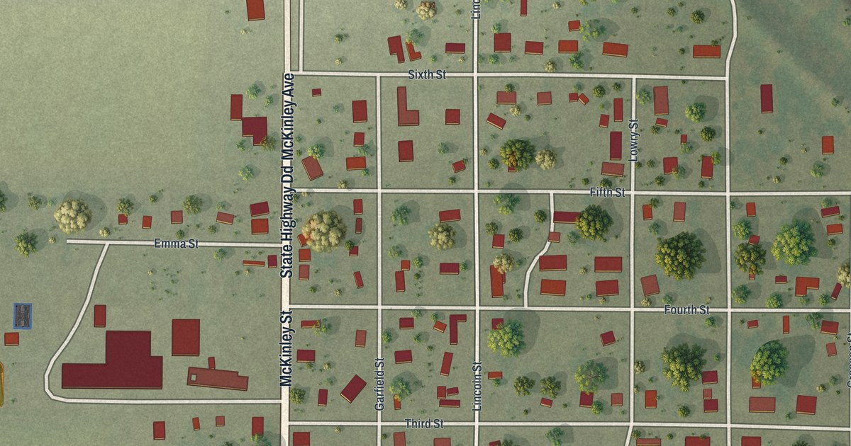
A detailed map of Fisk, Missouri, showing every building in its true location, the roads by name, and shaded topographical relief.
Read More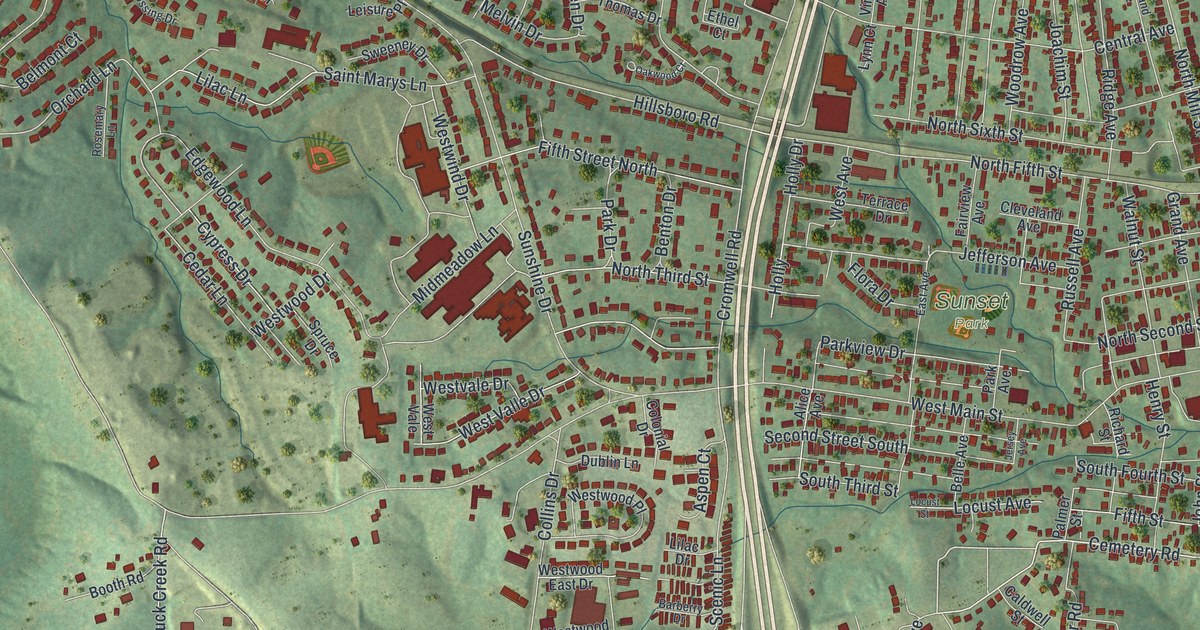
A detailed map of Festus, Missouri, showing every building in its true location, the roads by name, and shaded topographical relief.
Read More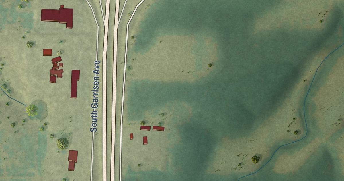
A detailed map of Fidelity, Missouri, showing every building in its true location, the roads by name, and shaded topographical relief.
Read More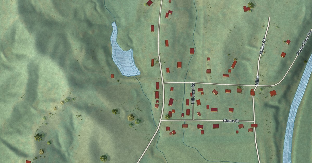
A detailed map of Farley, Missouri, showing every building in its true location, the roads by name, and shaded topographical relief.
Read More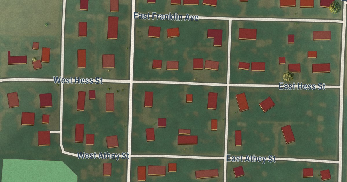
A detailed map of Farber, Missouri, showing every building in its true location, the roads by name, and shaded topographical relief.
Read More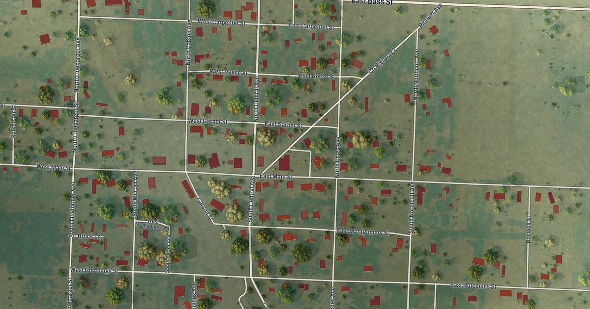
A detailed map of Fairview, Missouri, showing every building in its true location, the roads by name, and shaded topographical relief.
Read More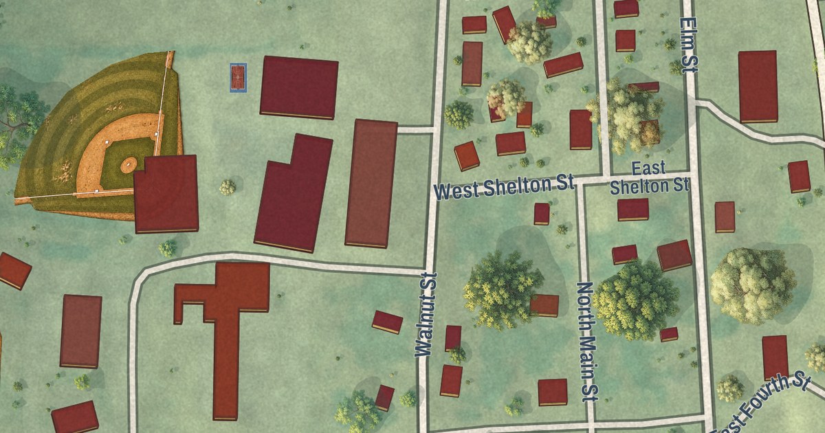
A detailed map of Fair Play, Missouri, showing every building in its true location, the roads by name, and shaded topographical relief.
Read More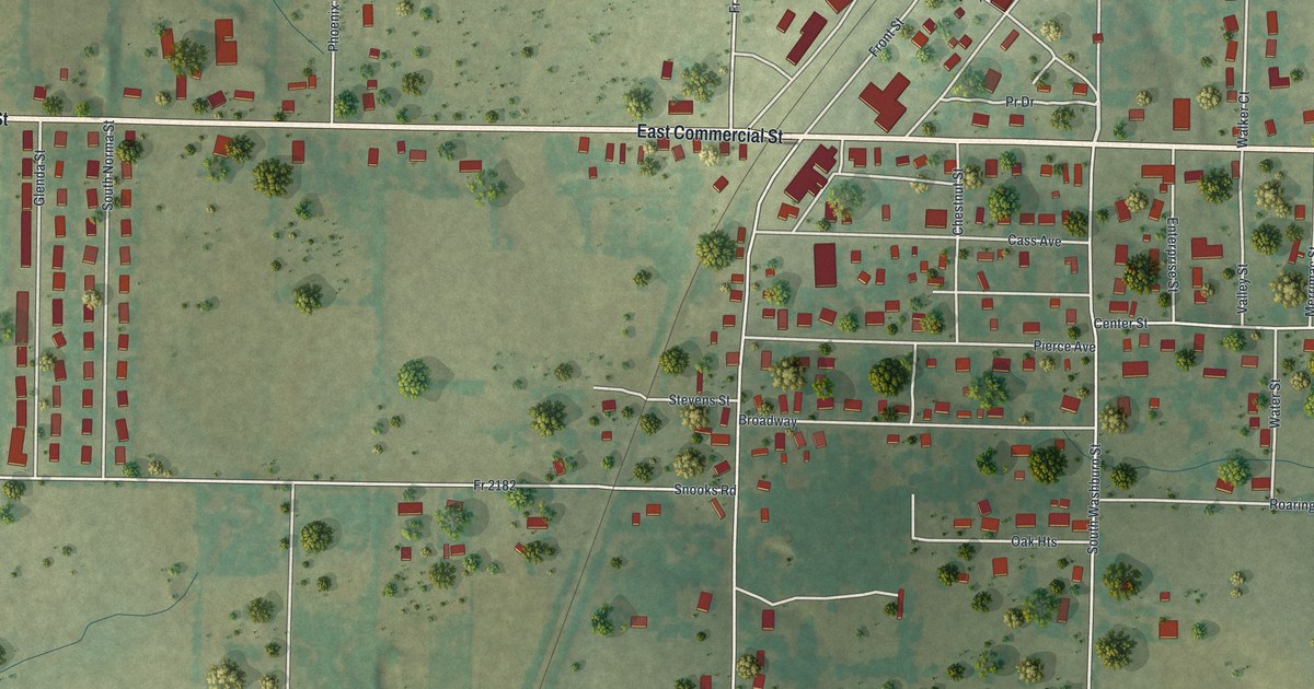
A detailed map of Exeter, Missouri, showing every building in its true location, the roads by name, and shaded topographical relief.
Read More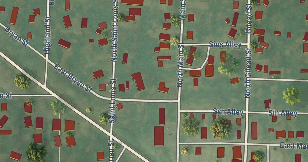
A detailed map of Ewing, Missouri, showing every building in its true location, the roads by name, and shaded topographical relief.
Read More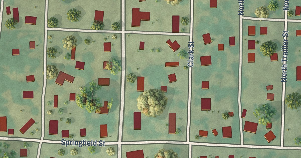
A detailed map of Everton, Missouri, showing every building in its true location, the roads by name, and shaded topographical relief.
Read More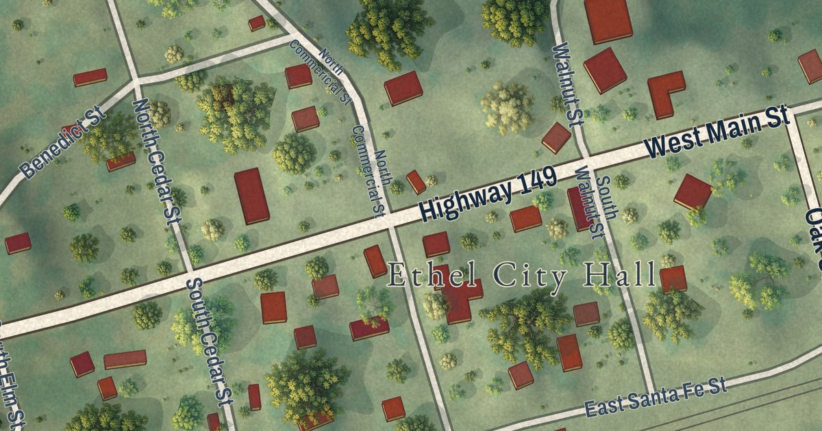
A detailed map of Ethel, Missouri, showing every building in its true location, the roads by name, and shaded topographical relief.
Read More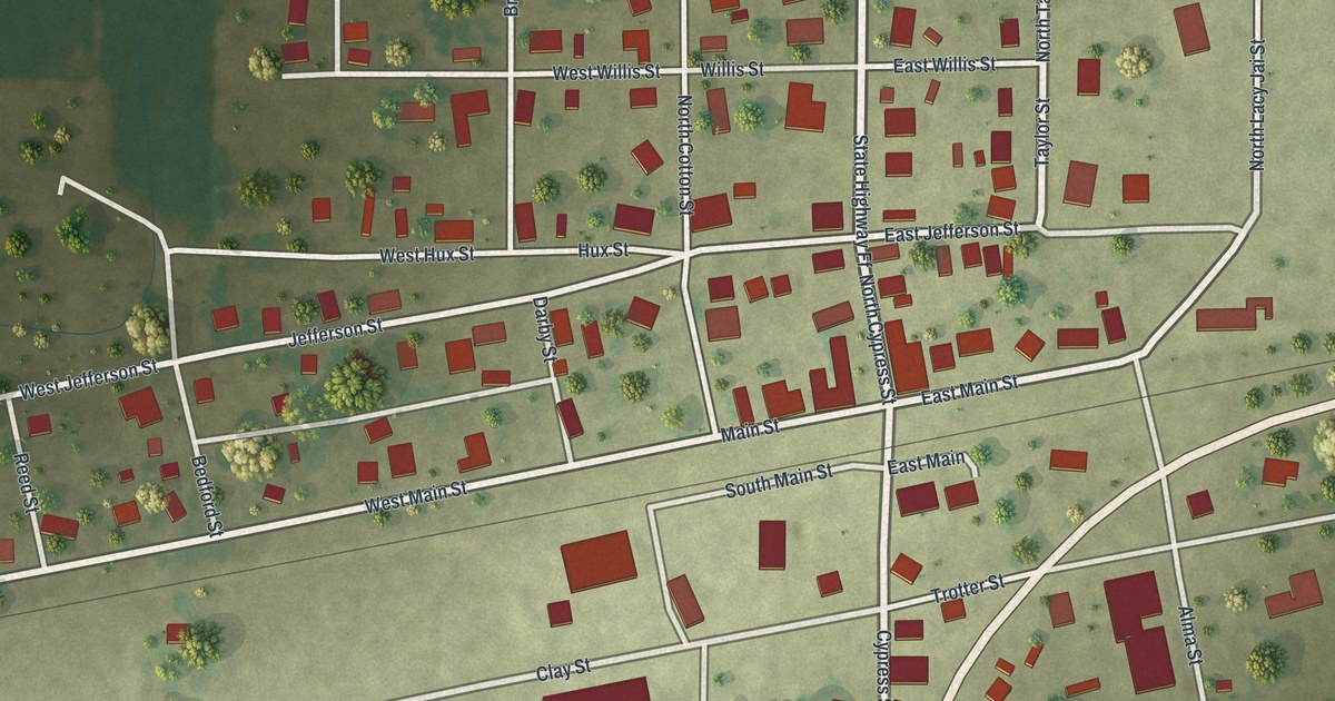
A detailed map of Essex, Missouri, showing every building in its true location, the roads by name, and shaded topographical relief.
Read More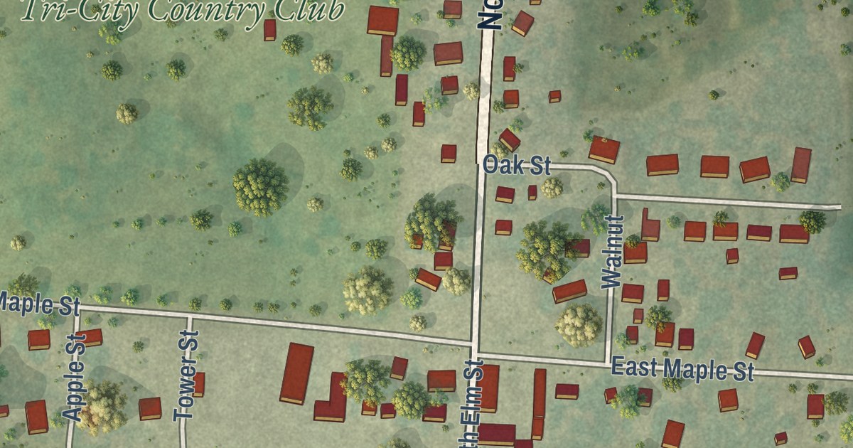
A detailed map of Emma, Missouri, showing every building in its true location, the roads by name, and shaded topographical relief.
Read More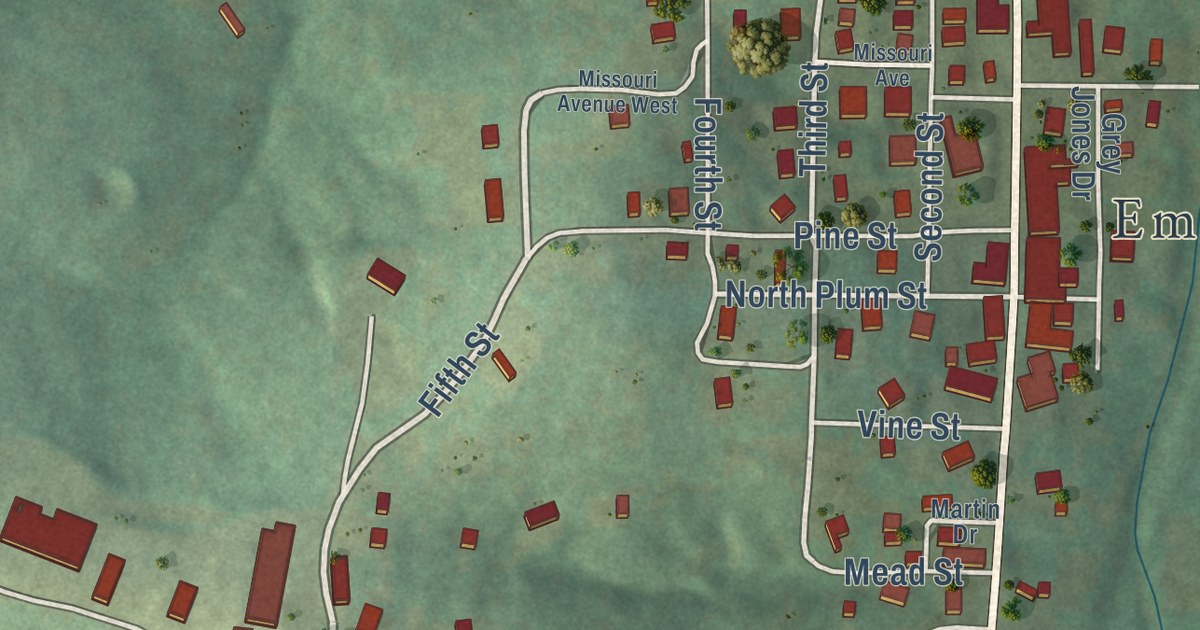
A detailed map of Eminence, Missouri, showing every building in its true location, the roads by name, and shaded topographical relief.
Read More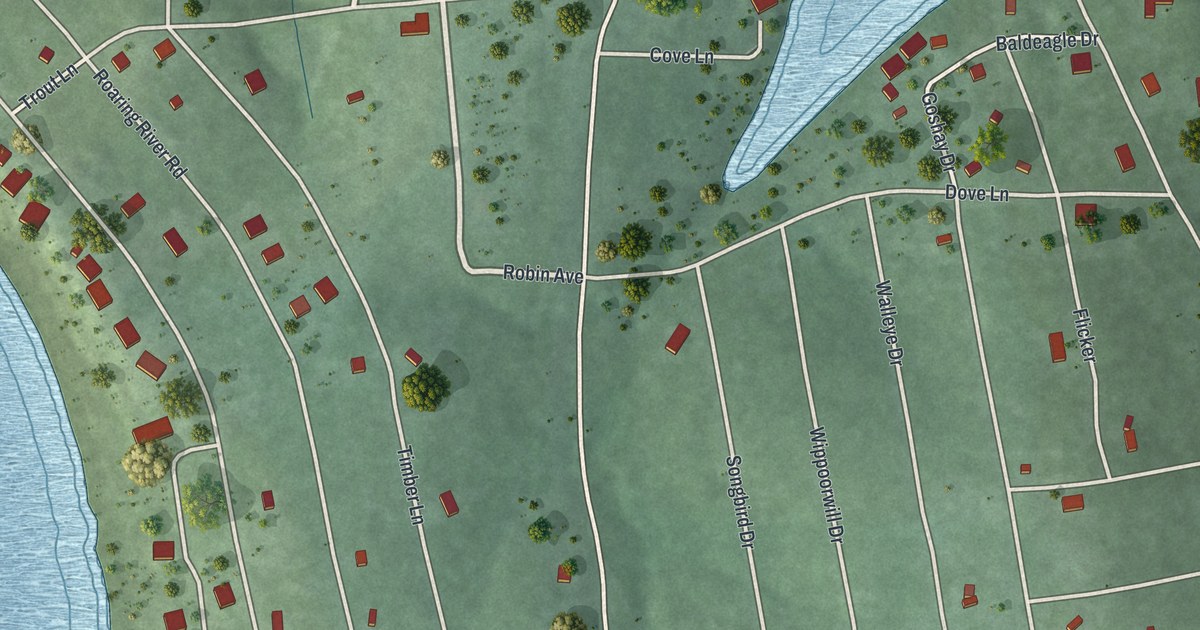
A detailed map of Emerald Beach, Missouri, showing every building in its true location, the roads by name, and shaded topographical relief.
Read More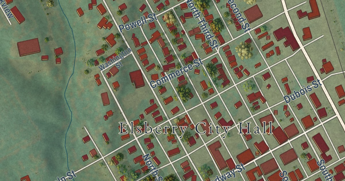
A detailed map of Elsberry, Missouri, showing every building in its true location, the roads by name, and shaded topographical relief.
Read More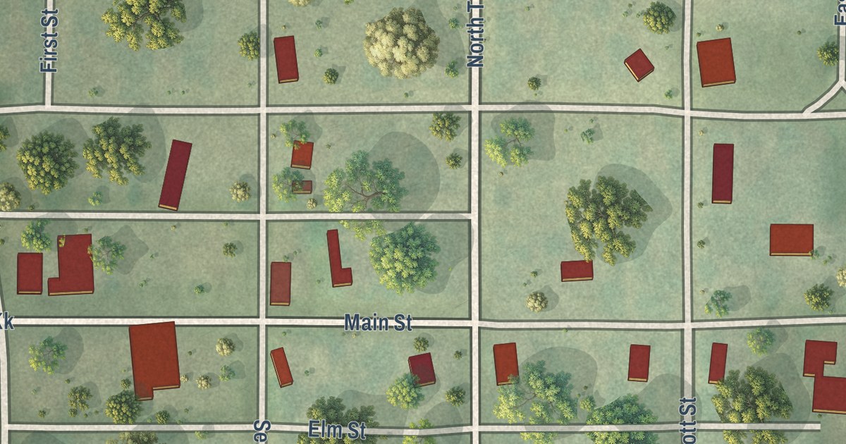
A detailed map of Elmo, Missouri, showing every building in its true location, the roads by name, and shaded topographical relief.
Read More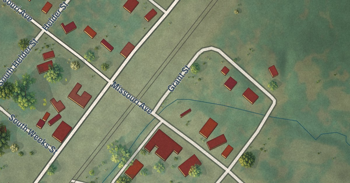
A detailed map of Elmer, Missouri, showing every building in its true location, the roads by name, and shaded topographical relief.
Read More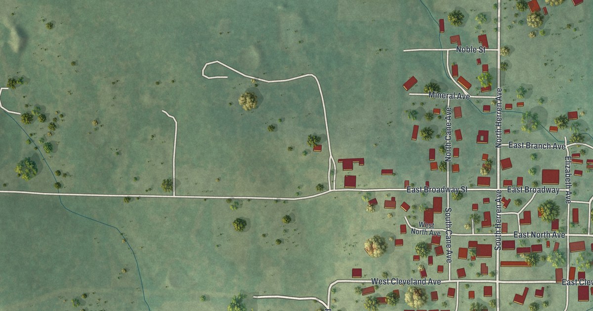
A detailed map of Ellsinore, Missouri, showing every building in its true location, the roads by name, and shaded topographical relief.
Read More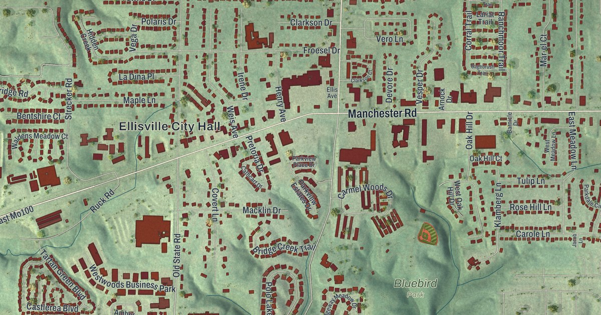
A detailed map of Ellisville, Missouri, showing every building in its true location, the roads by name, and shaded topographical relief.
Read More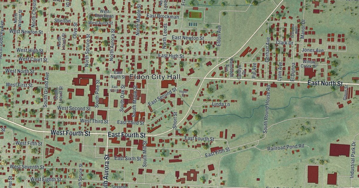
A detailed map of Eldon, Missouri, showing every building in its true location, the roads by name, and shaded topographical relief.
Read More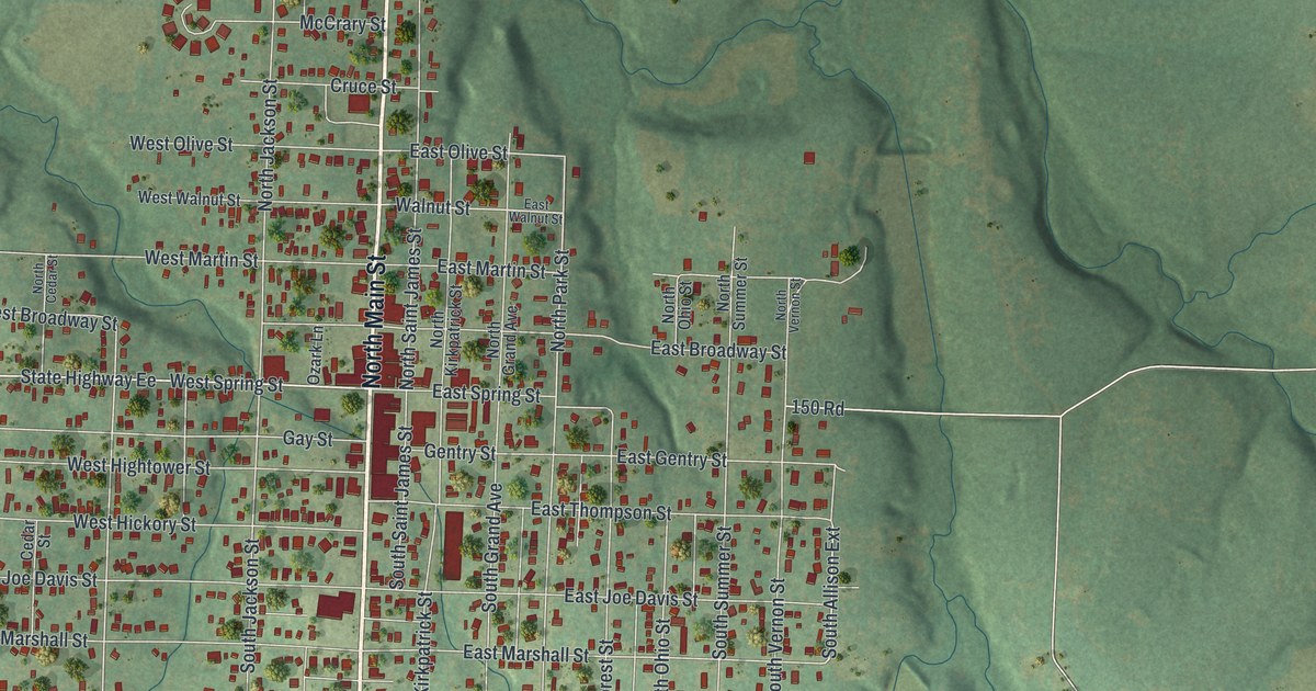
A detailed map of El Dorado Springs, Missouri, showing every building in its true location, the roads by name, and shaded topographical relief.
Read More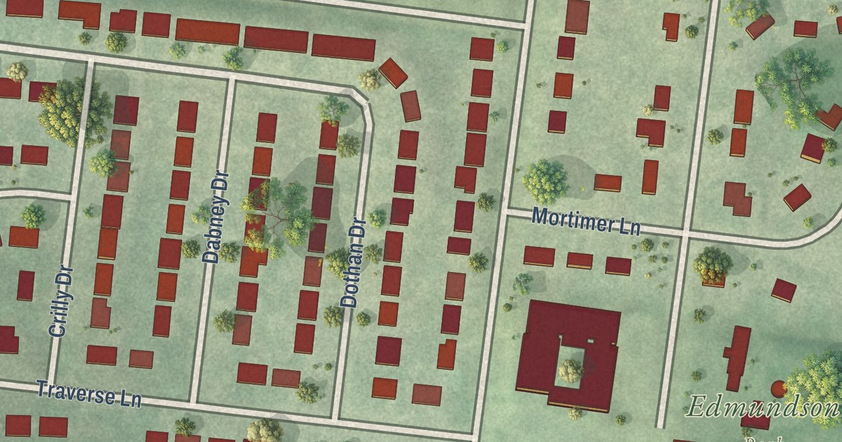
A detailed map of Edmundson, Missouri, showing every building in its true location, the roads by name, and shaded topographical relief.
Read More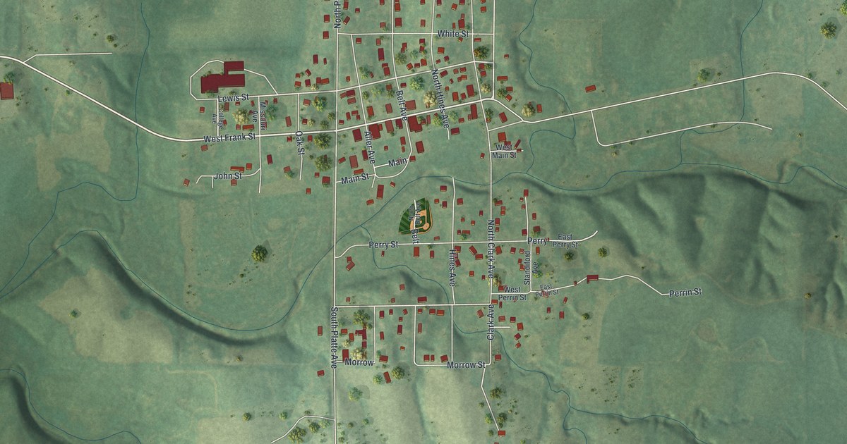
A detailed map of Edgerton, Missouri, showing every building in its true location, the roads by name, and shaded topographical relief.
Read More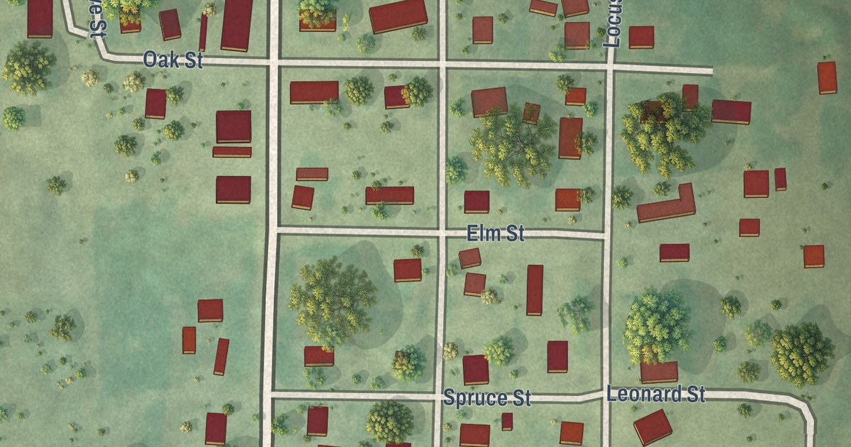
A detailed map of Edgar Springs, Missouri, showing every building in its true location, the roads by name, and shaded topographical relief.
Read More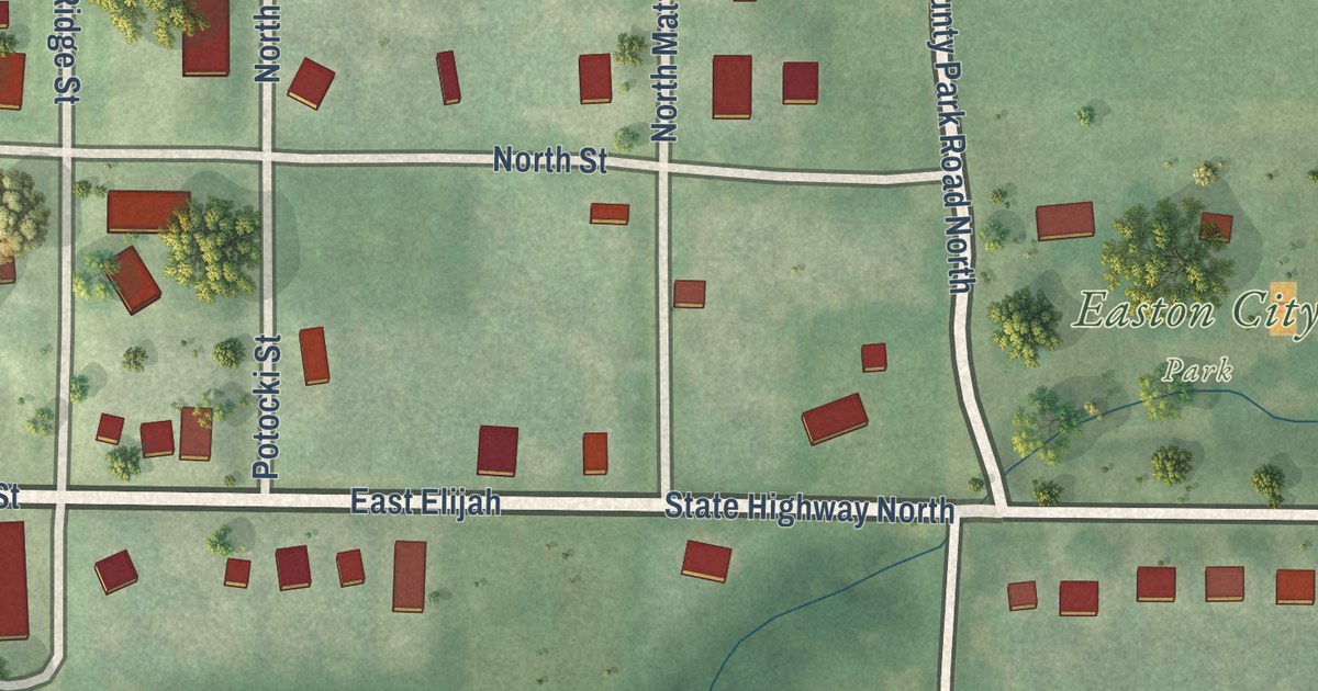
A detailed map of Easton, Missouri, showing every building in its true location, the roads by name, and shaded topographical relief.
Read More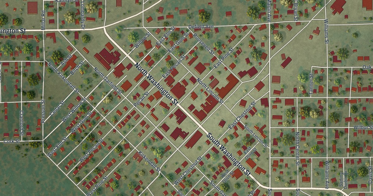
A detailed map of East Prairie, Missouri, showing every building in its true location, the roads by name, and shaded topographical relief.
Read More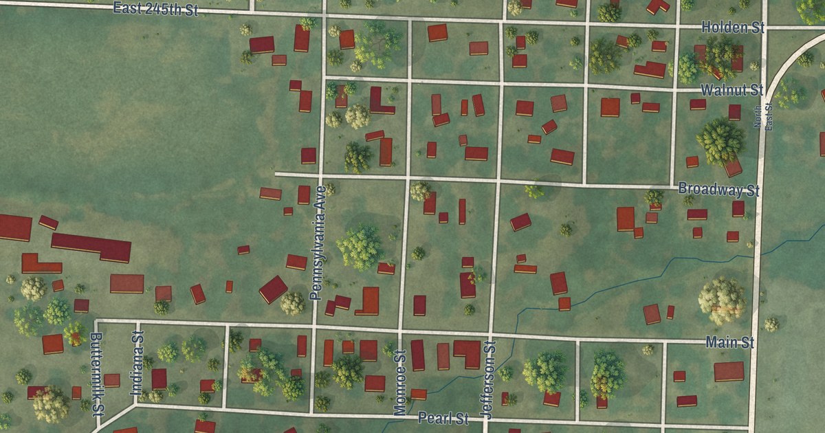
A detailed map of East Lynne, Missouri, showing every building in its true location, the roads by name, and shaded topographical relief.
Read More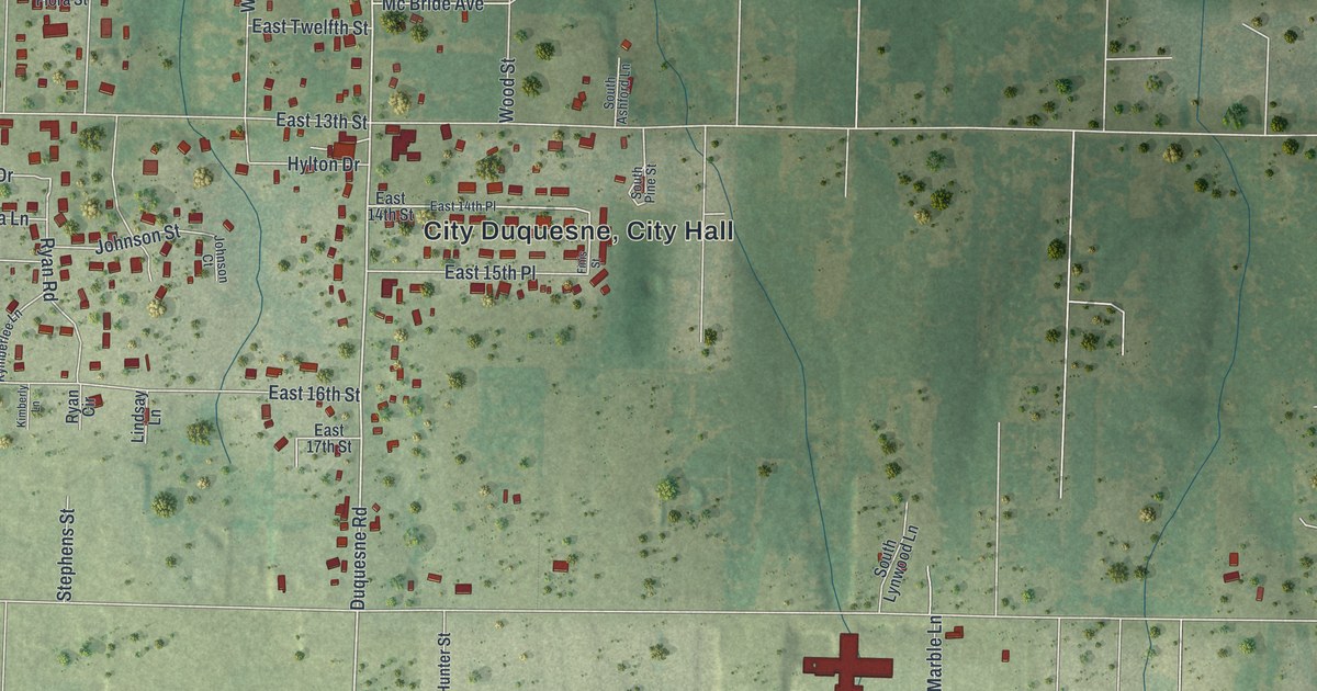
A detailed map of Duquesne, Missouri, showing every building in its true location, the roads by name, and shaded topographical relief.
Read More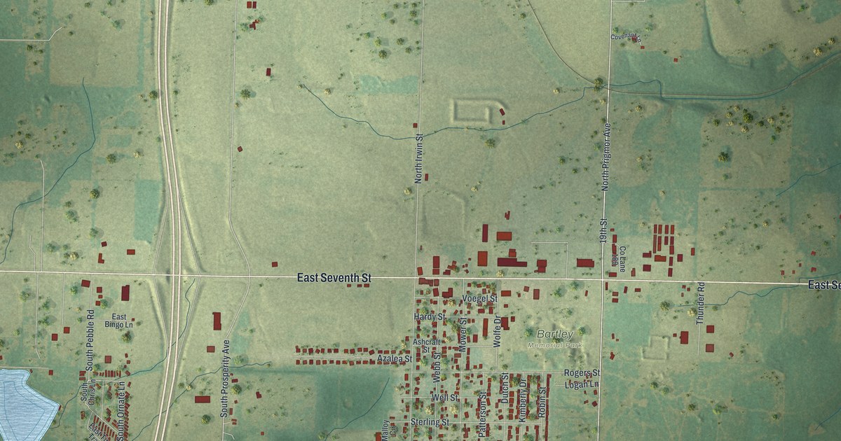
A detailed map of Duenweg, Missouri, showing every building in its true location, the roads by name, and shaded topographical relief.
Read More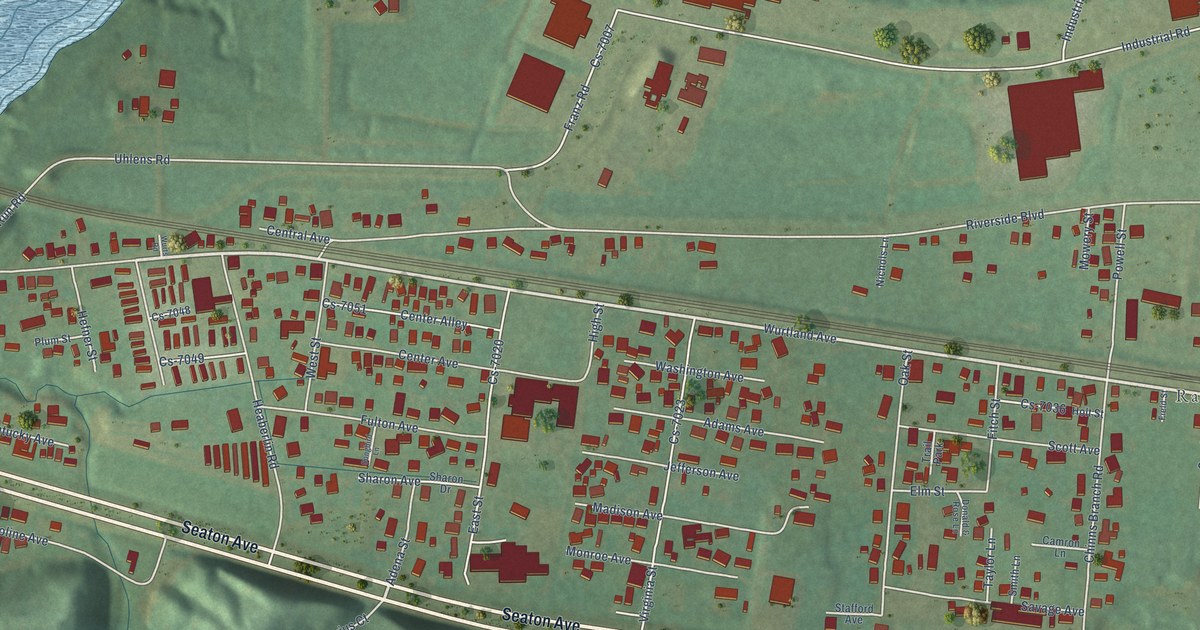
A detailed map of Wurtland, Kentucky, showing every building in its true location, the roads by name, and shaded topographical relief.
Read More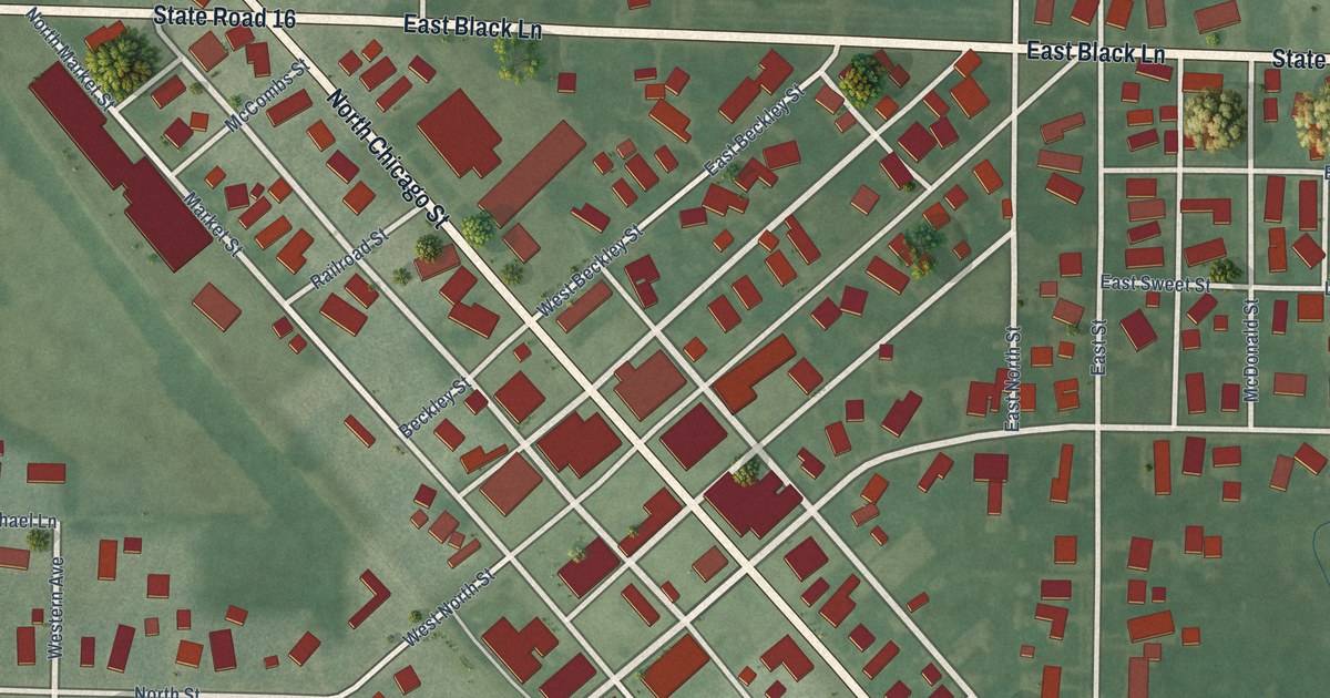
A detailed map of Royal Center, Indiana, showing every building in its true location, the roads by name, and shaded topographical relief.
Read More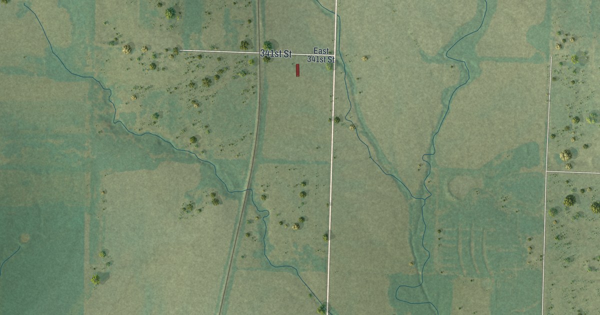
A detailed map of Drexel, Missouri, showing every building in its true location, the roads by name, and shaded topographical relief.
Read More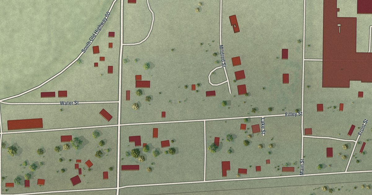
A detailed map of Dudley, Missouri, showing every building in its true location, the roads by name, and shaded topographical relief.
Read More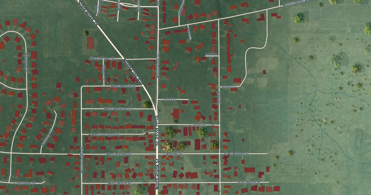
A detailed map of Rossville, Indiana, showing every building in its true location, the roads by name, and shaded topographical relief.
Read More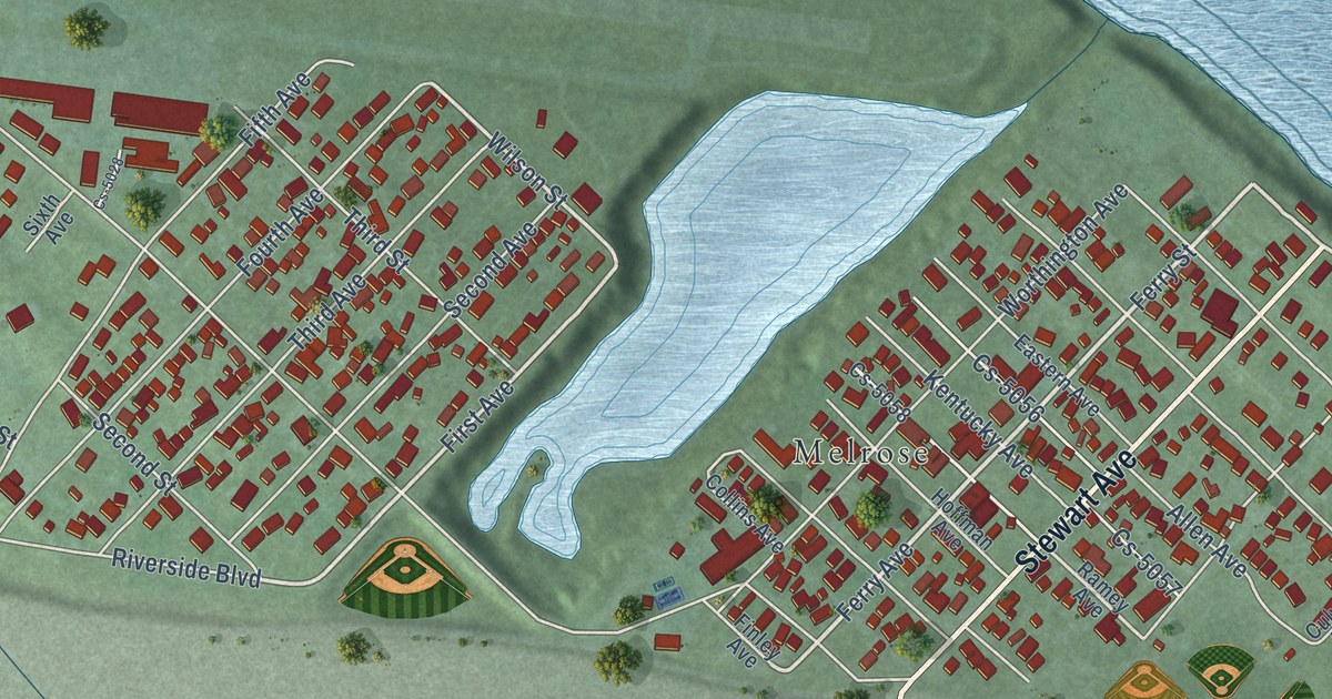
A detailed map of Worthington, Kentucky, showing every building in its true location, the roads by name, and shaded topographical relief.
Read More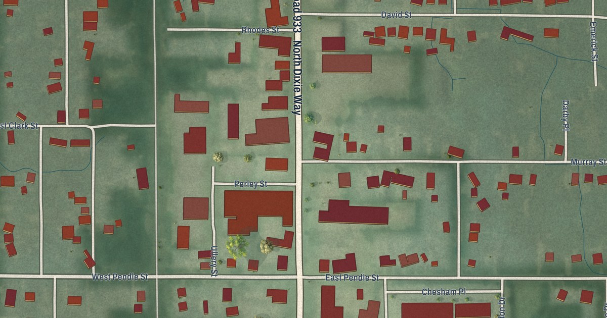
A detailed map of Roseland, Indiana, showing every building in its true location, the roads by name, and shaded topographical relief.
Read More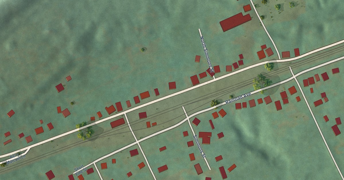
A detailed map of Worthville, Kentucky, showing every building in its true location, the roads by name, and shaded topographical relief.
Read More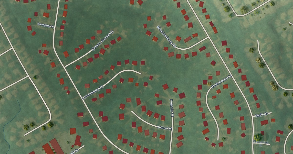
A detailed map of Worthington Hills, Kentucky, showing every building in its true location, the roads by name, and shaded topographical relief.
Read More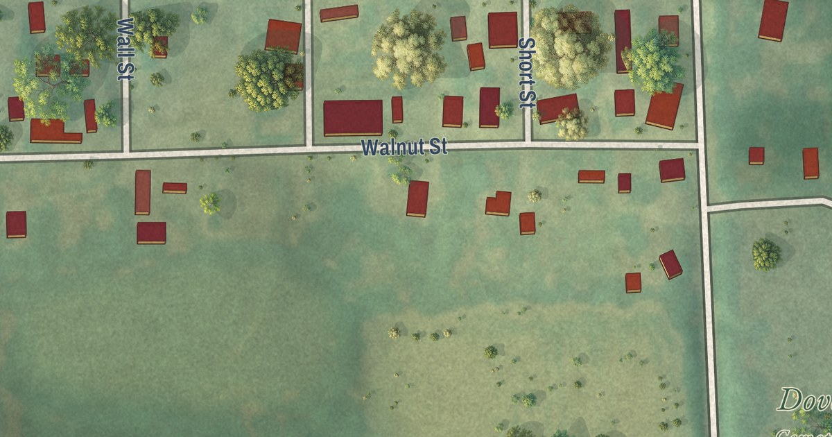
A detailed map of Dover, Missouri, showing every building in its true location, the roads by name, and shaded topographical relief.
Read More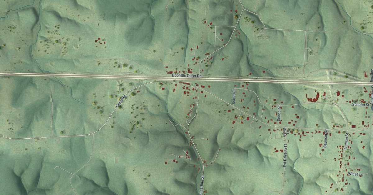
A detailed map of Doolittle, Missouri, showing every building in its true location, the roads by name, and shaded topographical relief.
Read More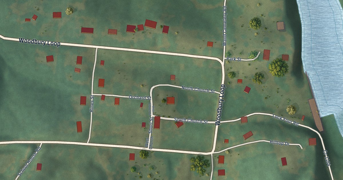
A detailed map of Woodbury, Kentucky, showing every building in its true location, the roads by name, and shaded topographical relief.
Read More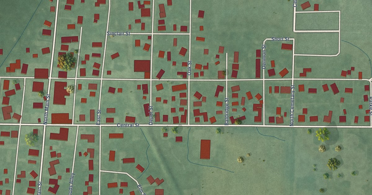
A detailed map of Rosedale, Indiana, showing every building in its true location, the roads by name, and shaded topographical relief.
Read More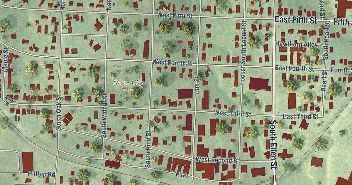
A detailed map of Dixon, Missouri, showing every building in its true location, the roads by name, and shaded topographical relief.
Read More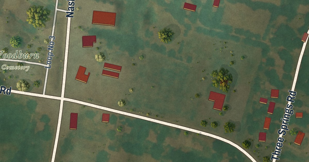
A detailed map of Woodburn, Kentucky, showing every building in its true location, the roads by name, and shaded topographical relief.
Read More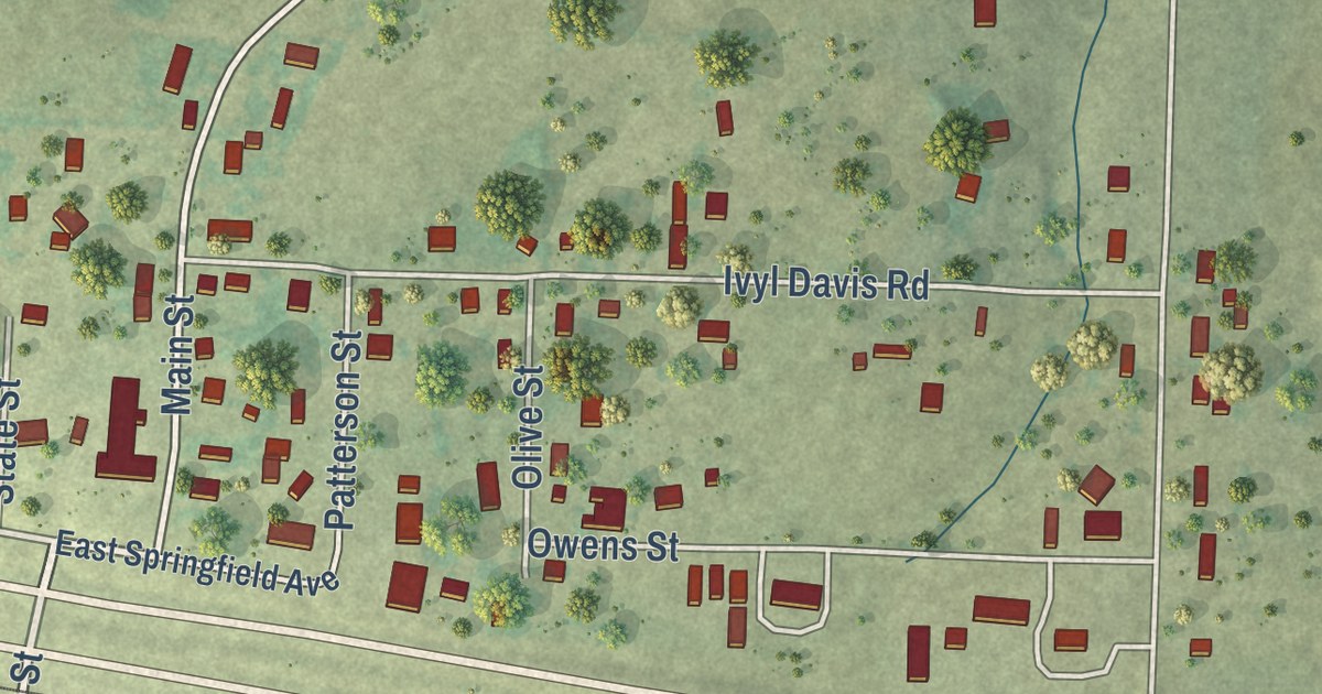
A detailed map of Diggins, Missouri, showing every building in its true location, the roads by name, and shaded topographical relief.
Read More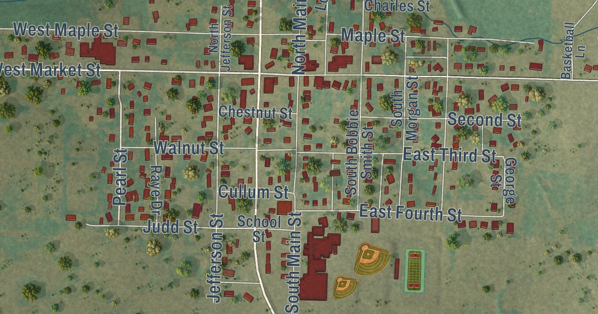
A detailed map of Diamond, Missouri, showing every building in its true location, the roads by name, and shaded topographical relief.
Read More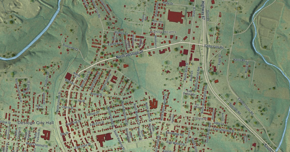
A detailed map of Desloge, Missouri, showing every building in its true location, the roads by name, and shaded topographical relief.
Read More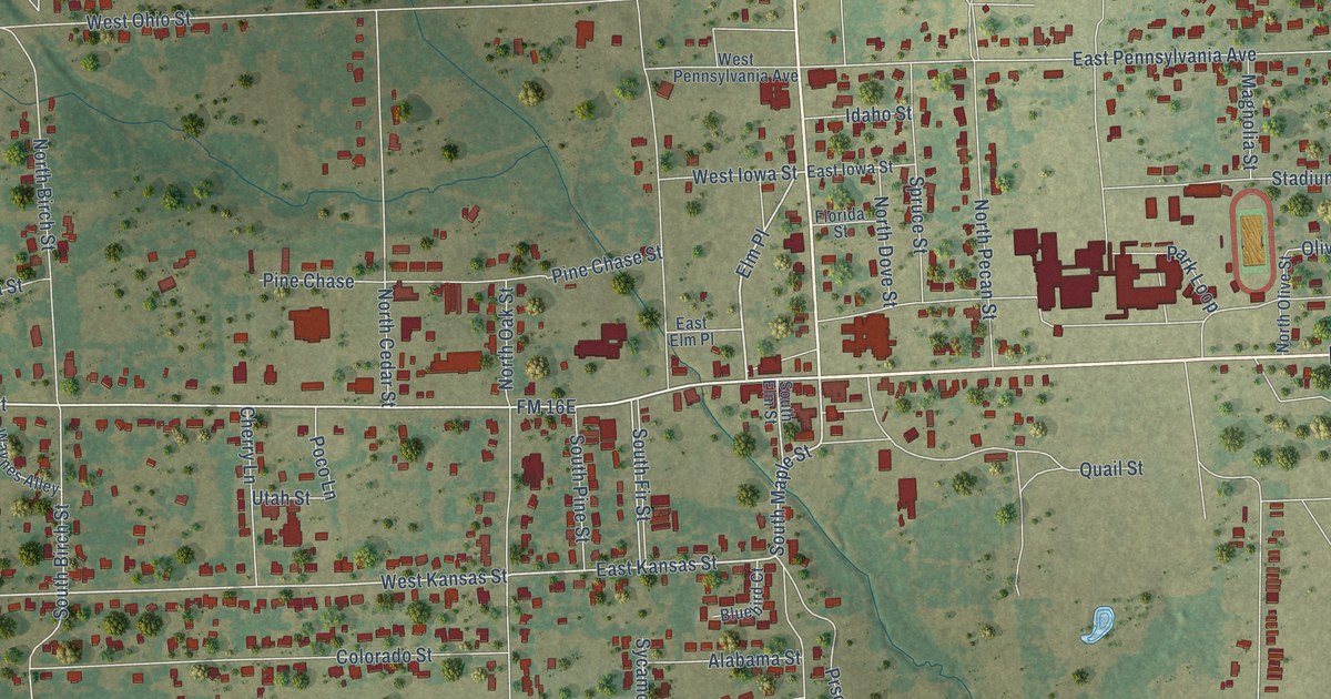
A detailed map of Van, Texas, showing every building in its true location, the roads by name, and shaded topographical relief.
Read More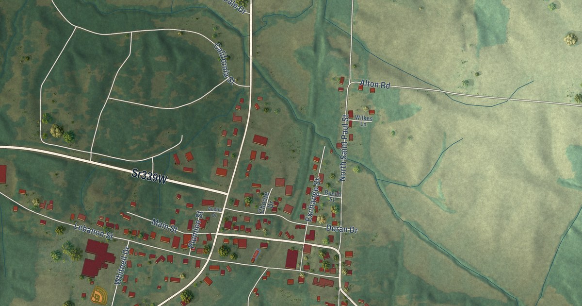
A detailed map of Wingo, Kentucky, showing every building in its true location, the roads by name, and shaded topographical relief.
Read More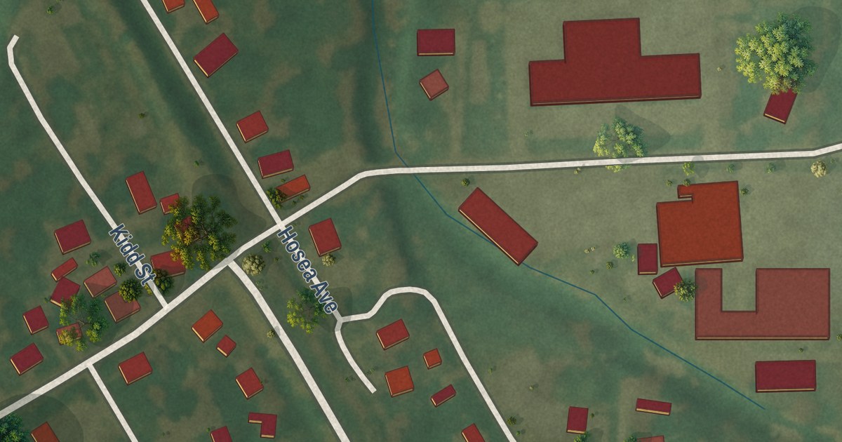
A detailed map of Delta, Missouri, showing every building in its true location, the roads by name, and shaded topographical relief.
Read More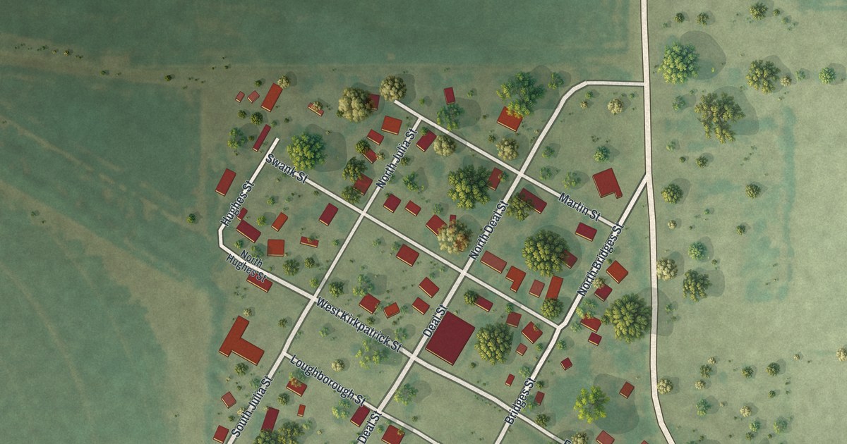
A detailed map of Diehlstadt, Missouri, showing every building in its true location, the roads by name, and shaded topographical relief.
Read More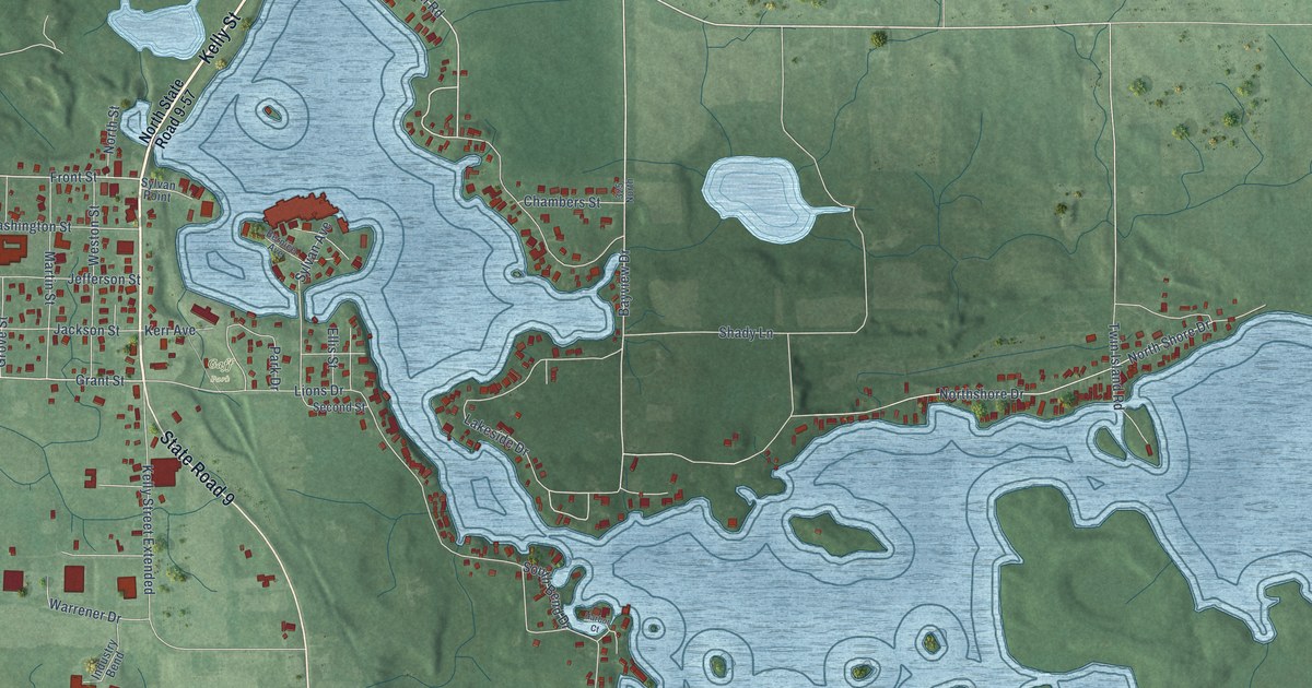
A detailed map of Rome City, Indiana, showing every building in its true location, the roads by name, and shaded topographical relief.
Read More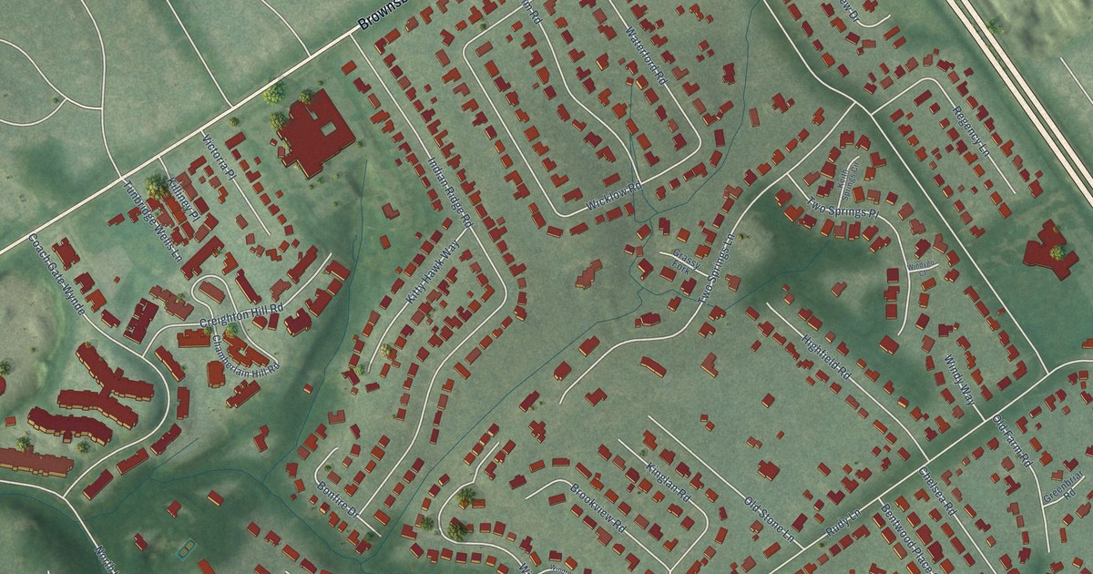
A detailed map of Windy Hills, Kentucky, showing every building in its true location, the roads by name, and shaded topographical relief.
Read More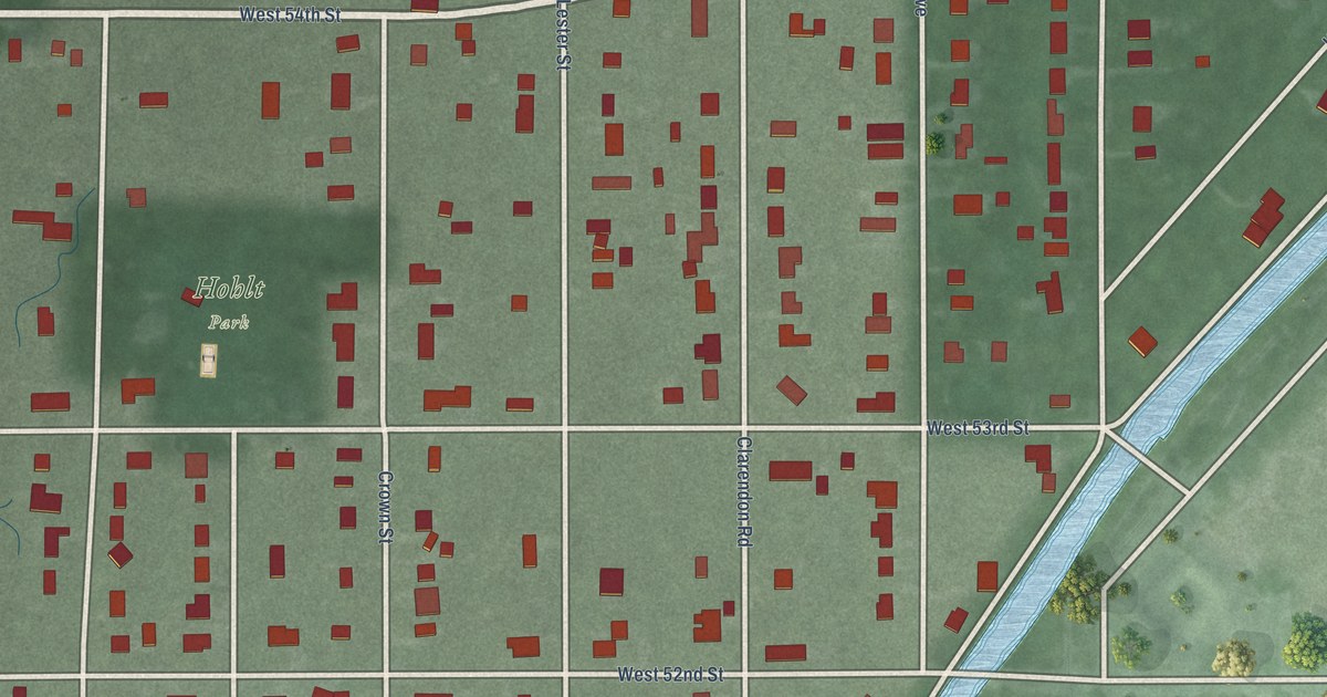
A detailed map of Rocky Ripple, Indiana, showing every building in its true location, the roads by name, and shaded topographical relief.
Read More















