Detailed Map of Rockville, Indiana
A detailed map of Rockville, Indiana, showing every building in its true location, the roads by name, and shaded topographical relief.
Read More
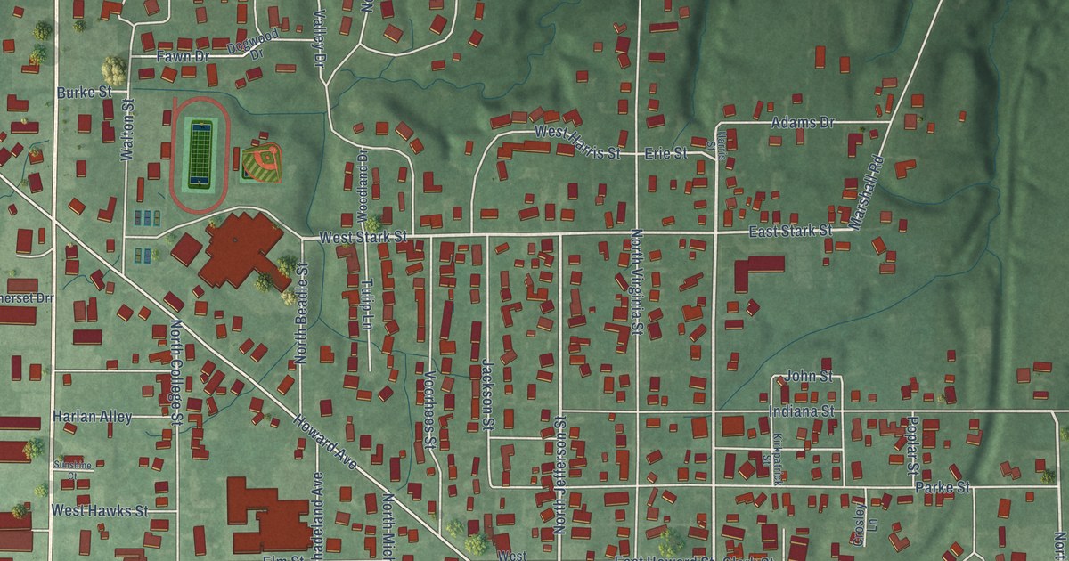
A detailed map of Rockville, Indiana, showing every building in its true location, the roads by name, and shaded topographical relief.
Read More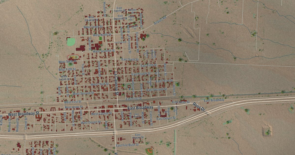
A detailed map of Van Horn, Texas, showing every building in its true location, the roads by name, and shaded topographical relief.
Read More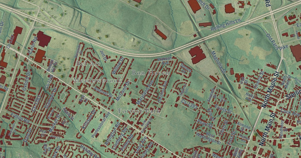
A detailed map of Winchester, Kentucky, showing every building in its true location, the roads by name, and shaded topographical relief.
Read More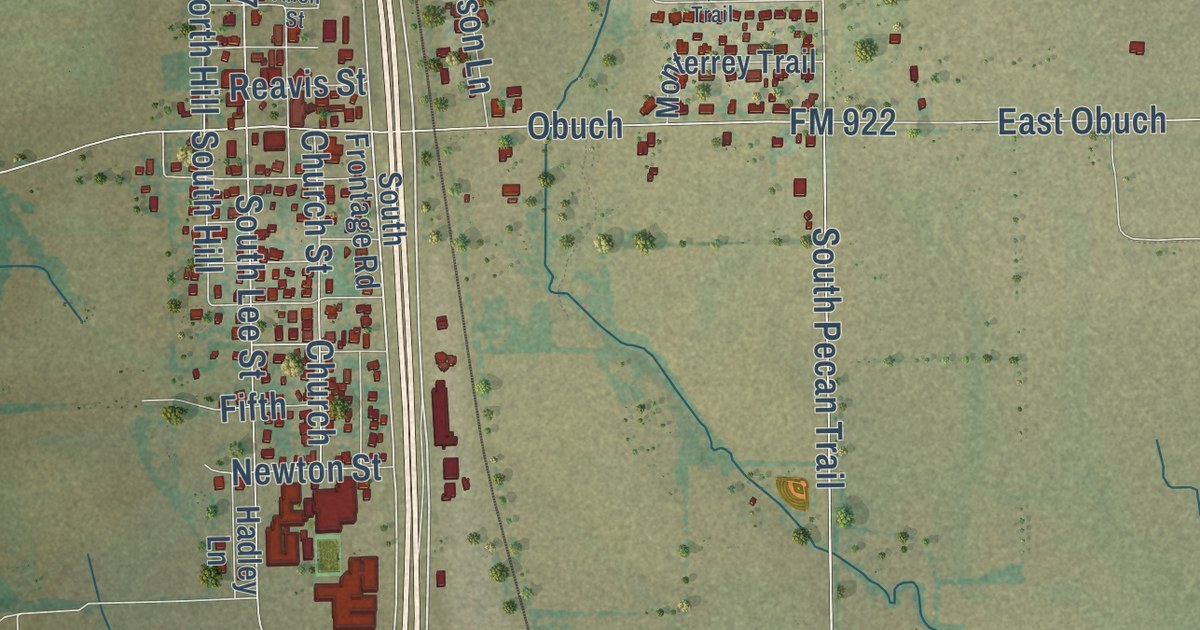
A detailed map of Valley View, Texas, showing every building in its true location, the roads by name, and shaded topographical relief.
Read More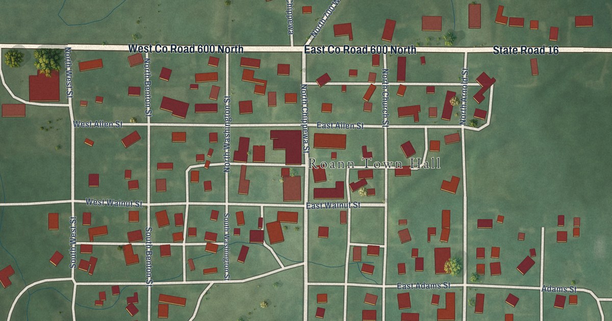
A detailed map of Roann, Indiana, showing every building in its true location, the roads by name, and shaded topographical relief.
Read More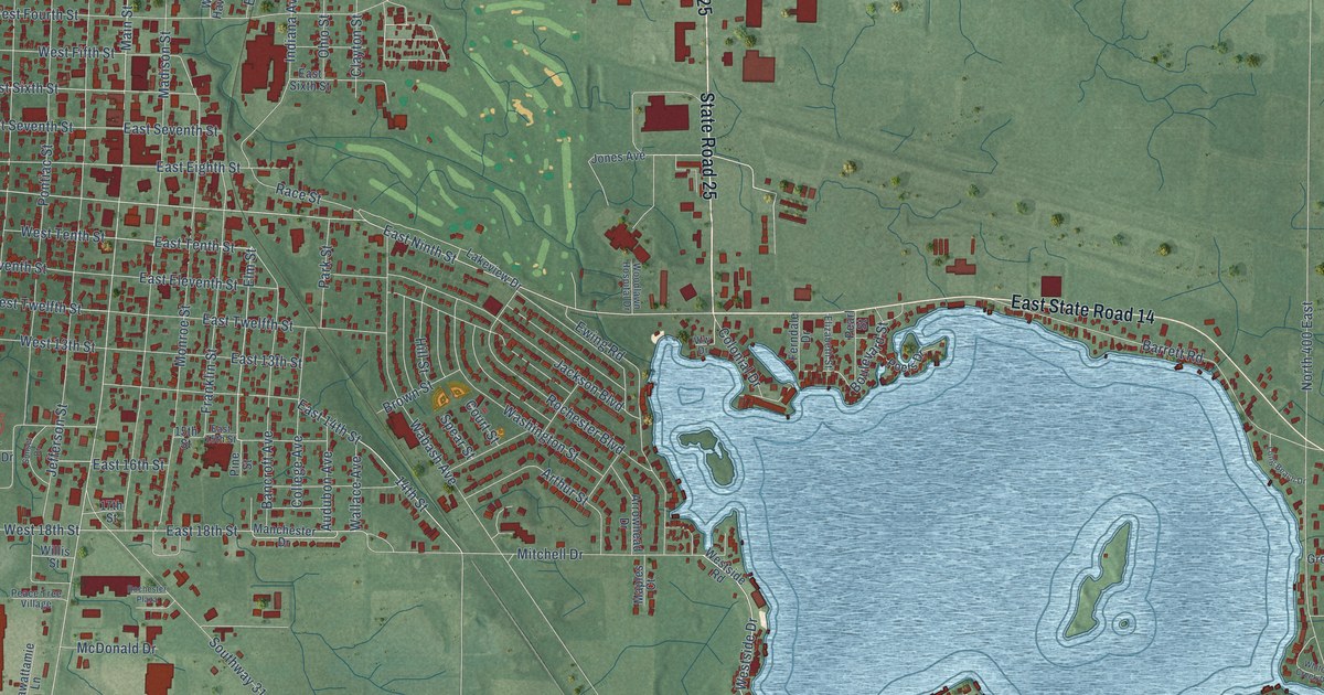
A detailed map of Rochester, Indiana, showing every building in its true location, the roads by name, and shaded topographical relief.
Read More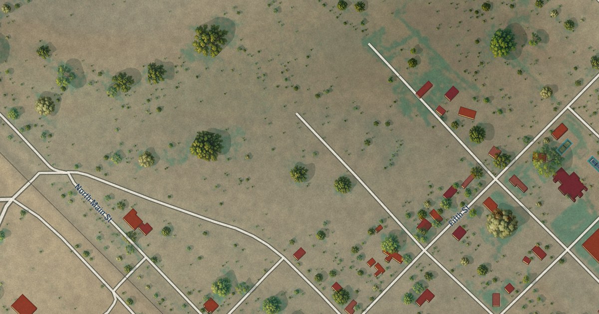
A detailed map of Valentine, Texas, showing every building in its true location, the roads by name, and shaded topographical relief.
Read More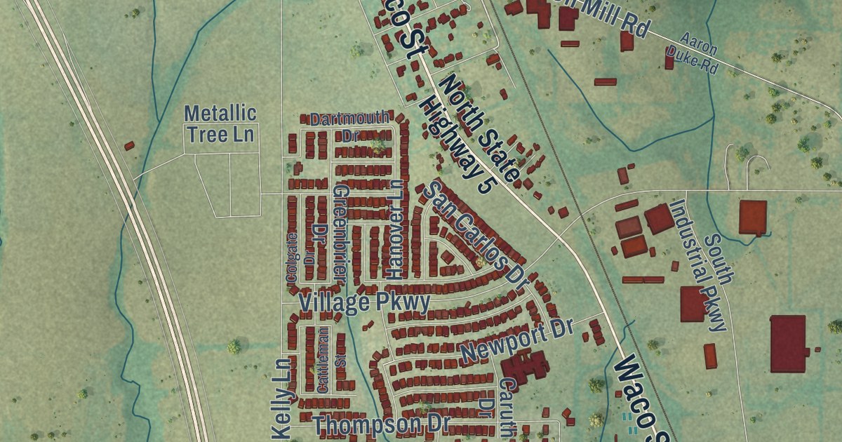
A detailed map of Van Alstyne, Texas, showing every building in its true location, the roads by name, and shaded topographical relief.
Read More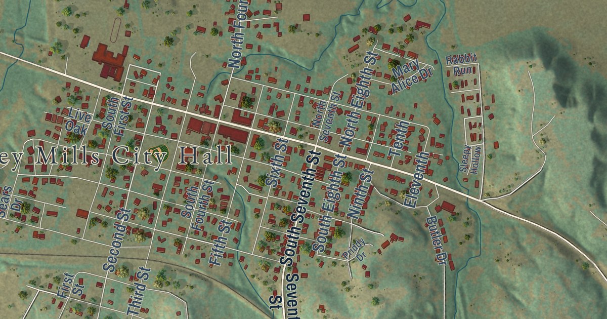
A detailed map of Valley Mills, Texas, showing every building in its true location, the roads by name, and shaded topographical relief.
Read More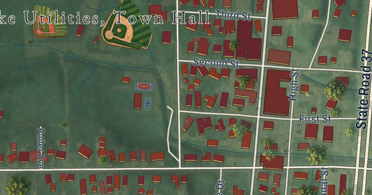
A detailed map of Roanoke, Indiana, showing every building in its true location, the roads by name, and shaded topographical relief.
Read More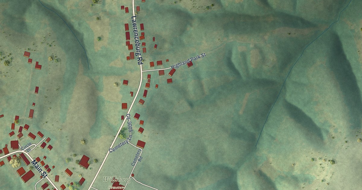
A detailed map of Willisburg, Kentucky, showing every building in its true location, the roads by name, and shaded topographical relief.
Read More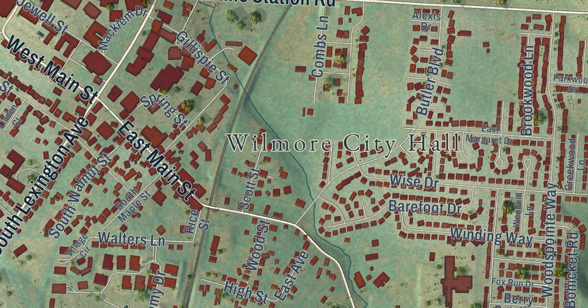
A detailed map of Wilmore, Kentucky, showing every building in its true location, the roads by name, and shaded topographical relief.
Read More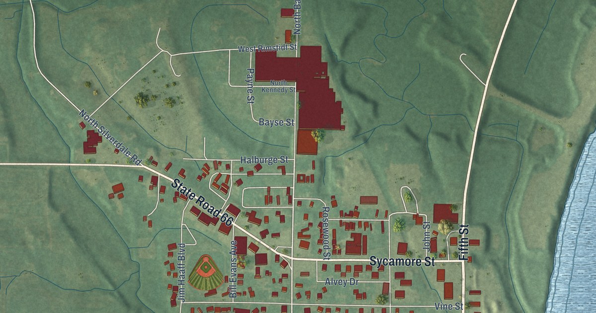
A detailed map of Rockport, Indiana, showing every building in its true location, the roads by name, and shaded topographical relief.
Read More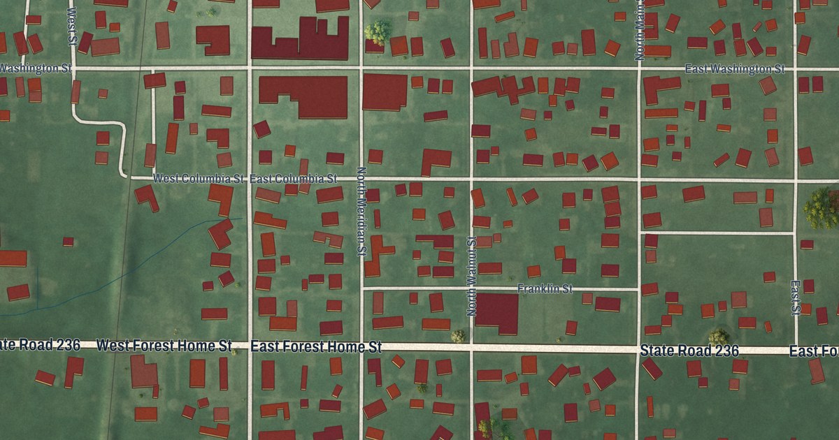
A detailed map of Roachdale, Indiana, showing every building in its true location, the roads by name, and shaded topographical relief.
Read More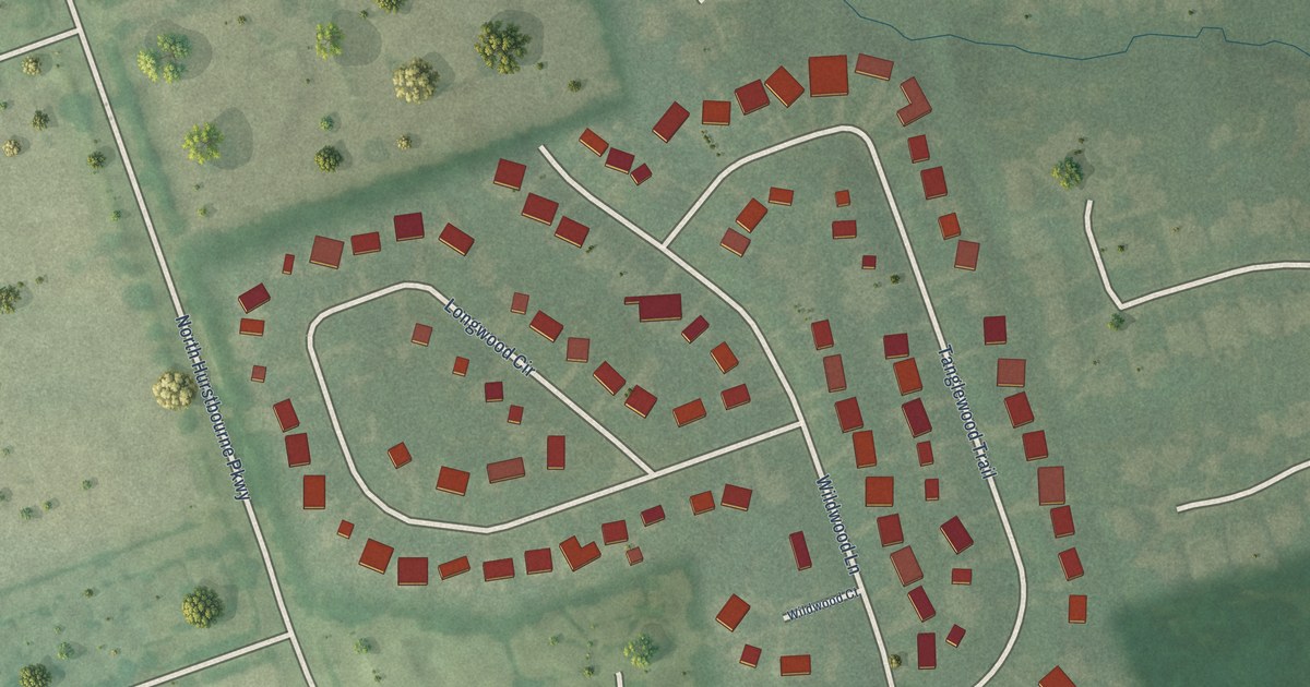
A detailed map of Wildwood, Kentucky, showing every building in its true location, the roads by name, and shaded topographical relief.
Read More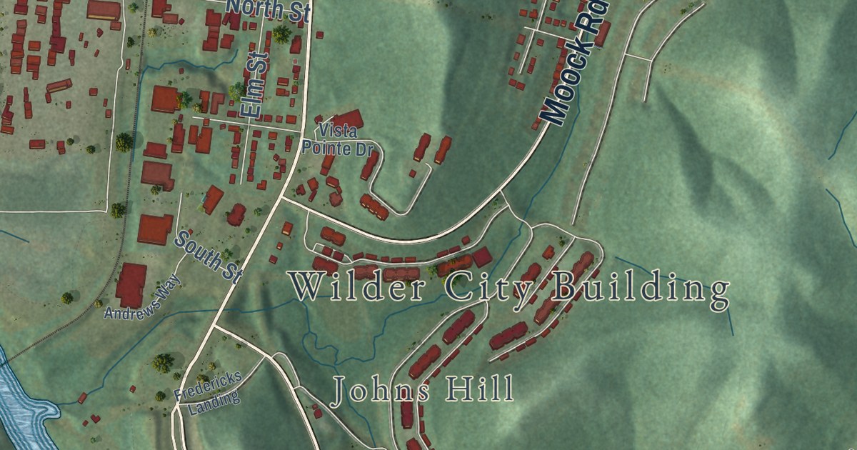
A detailed map of Wilder, Kentucky, showing every building in its true location, the roads by name, and shaded topographical relief.
Read More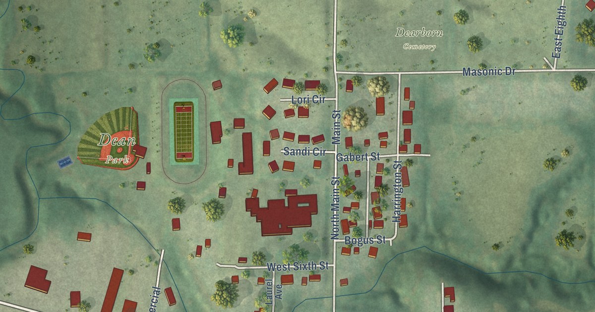
A detailed map of Dearborn, Missouri, showing every building in its true location, the roads by name, and shaded topographical relief.
Read More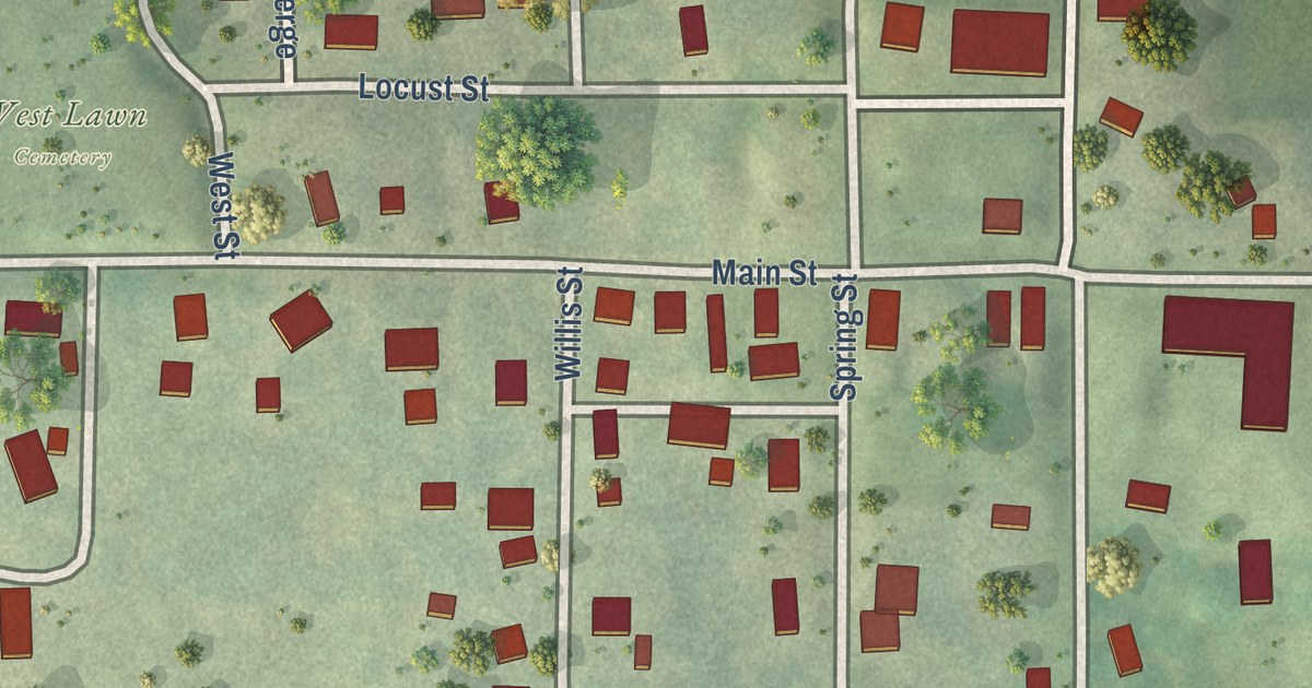
A detailed map of De Kalb, Missouri, showing every building in its true location, the roads by name, and shaded topographical relief.
Read More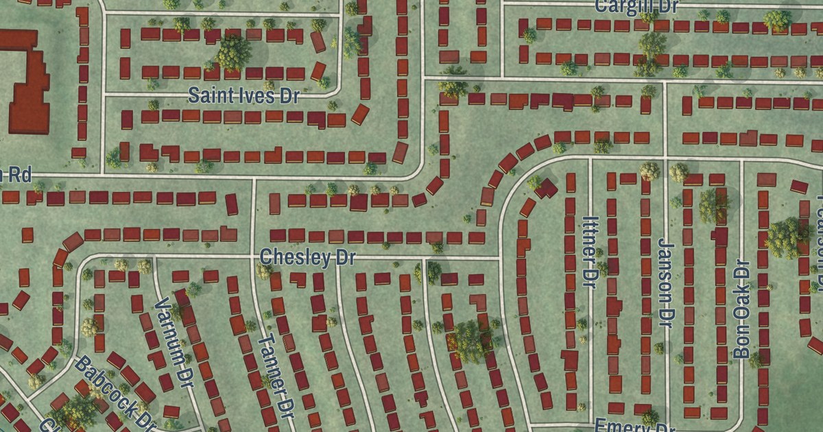
A detailed map of Dellwood, Missouri, showing every building in its true location, the roads by name, and shaded topographical relief.
Read More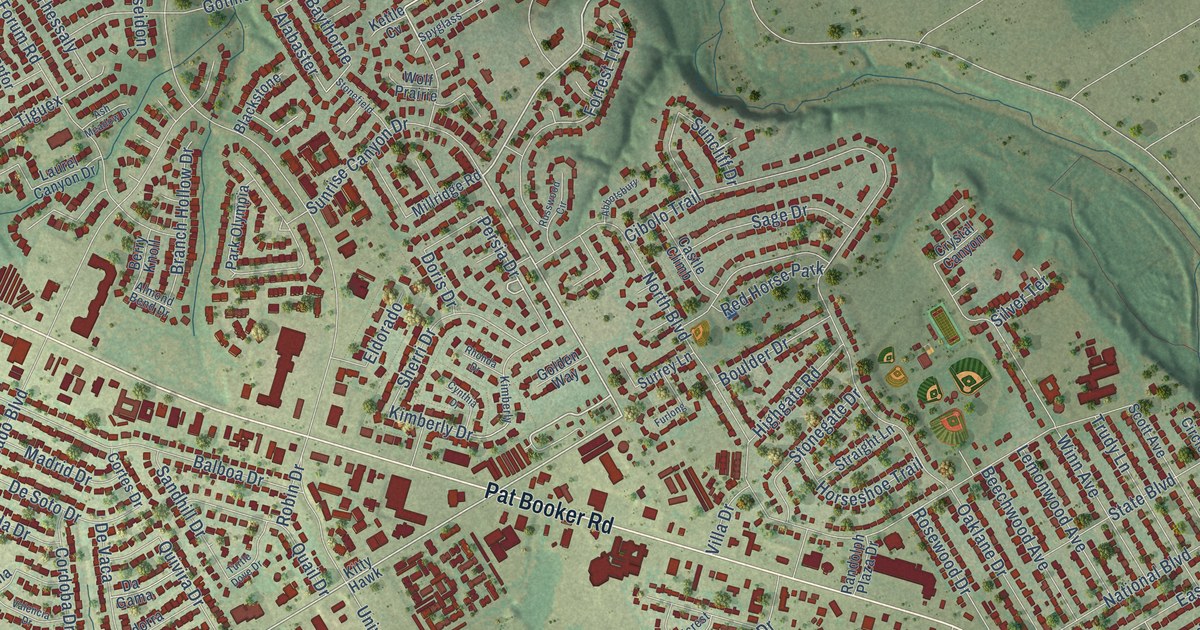
A detailed map of Universal City, Texas, showing every building in its true location, the roads by name, and shaded topographical relief.
Read More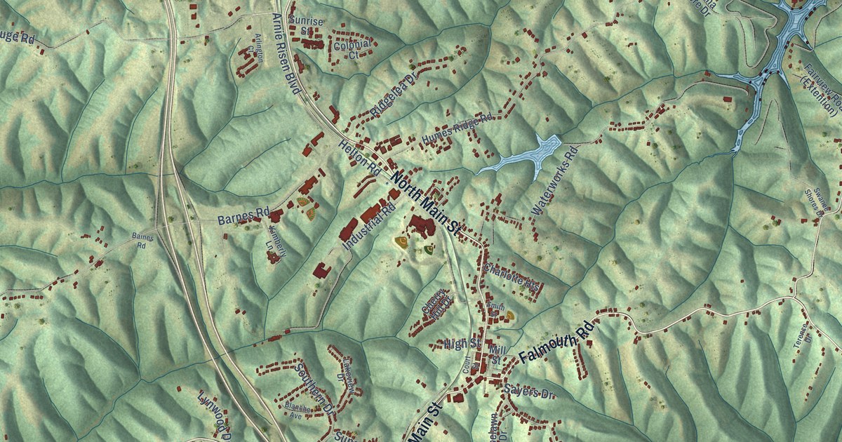
A detailed map of Williamstown, Kentucky, showing every building in its true location, the roads by name, and shaded topographical relief.
Read More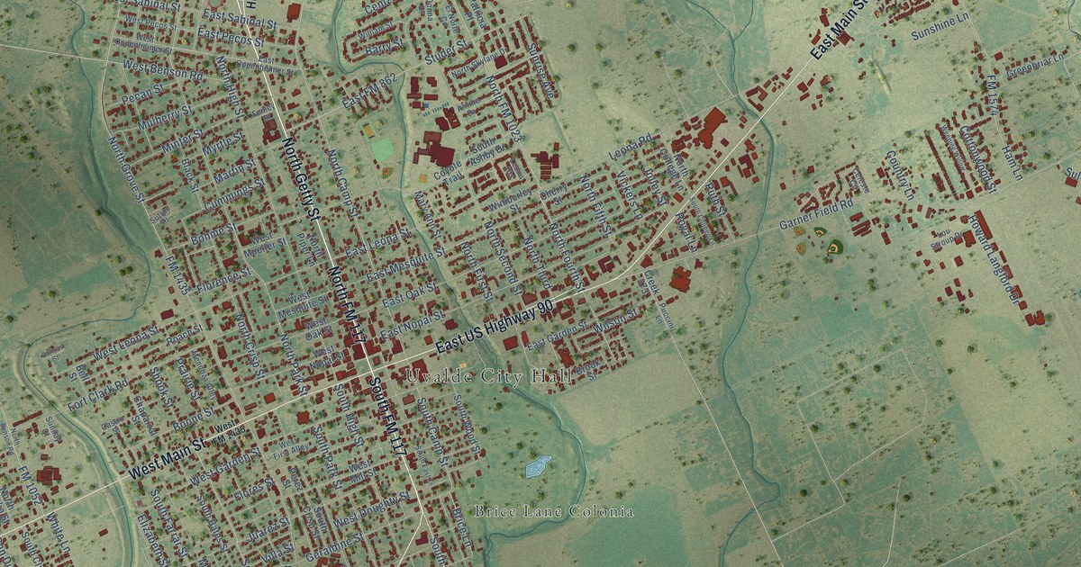
A detailed map of Uvalde, Texas, showing every building in its true location, the roads by name, and shaded topographical relief.
Read More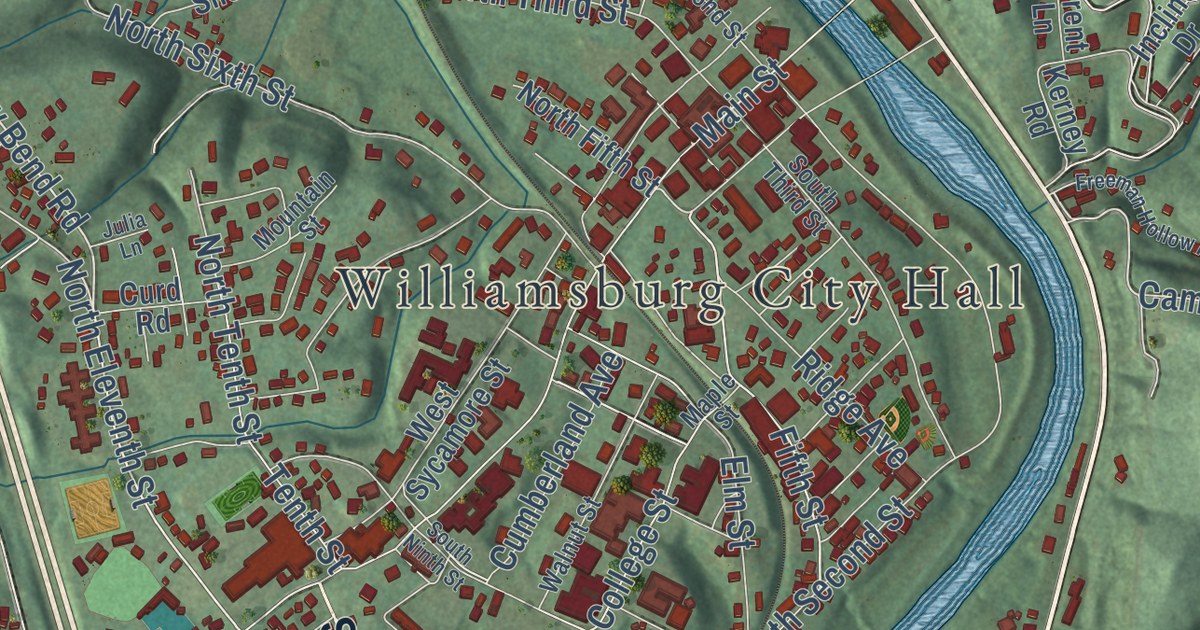
A detailed map of Williamsburg, Kentucky, showing every building in its true location, the roads by name, and shaded topographical relief.
Read More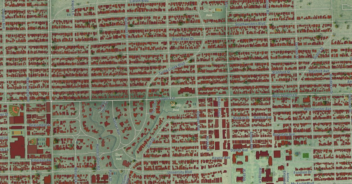
A detailed map of University Park, Texas, showing every building in its true location, the roads by name, and shaded topographical relief.
Read More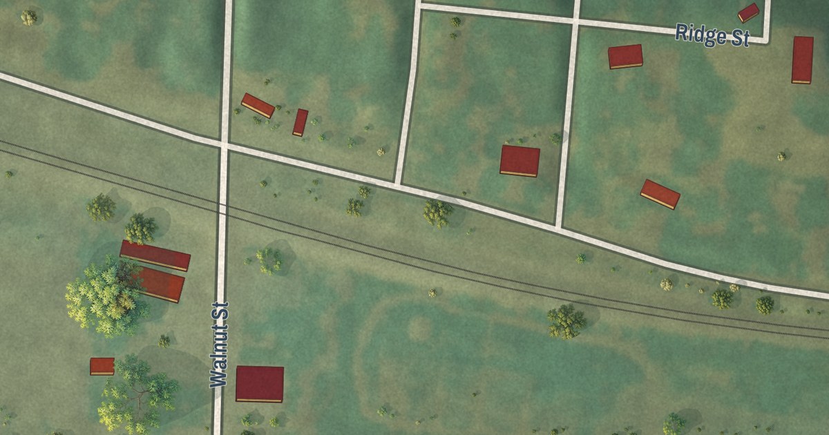
A detailed map of Dalton, Missouri, showing every building in its true location, the roads by name, and shaded topographical relief.
Read More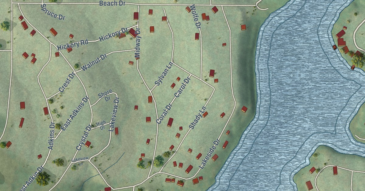
A detailed map of Crystal Lakes, Missouri, showing every building in its true location, the roads by name, and shaded topographical relief.
Read More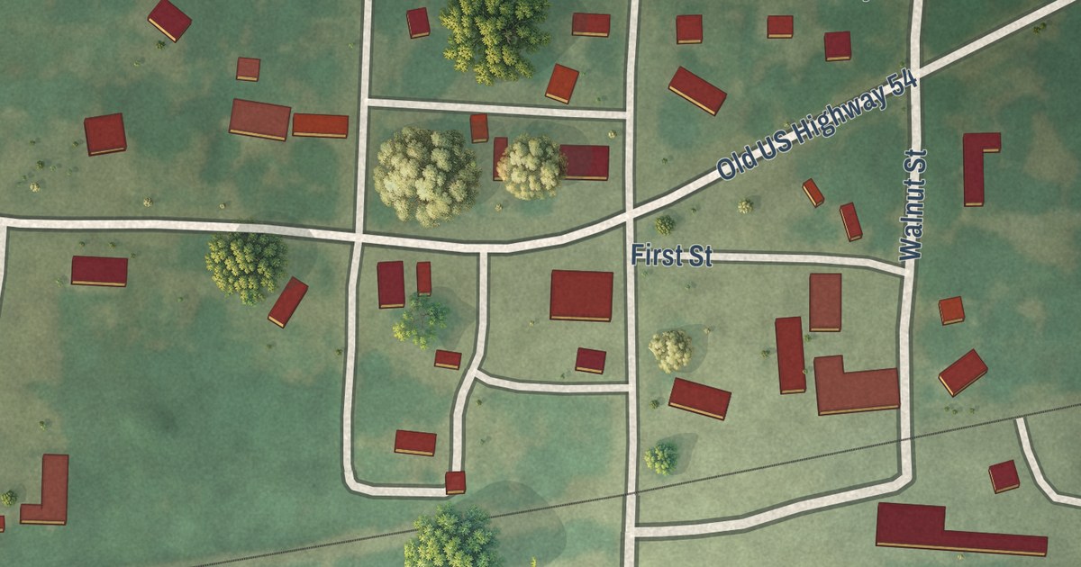
A detailed map of Deerfield, Missouri, showing every building in its true location, the roads by name, and shaded topographical relief.
Read More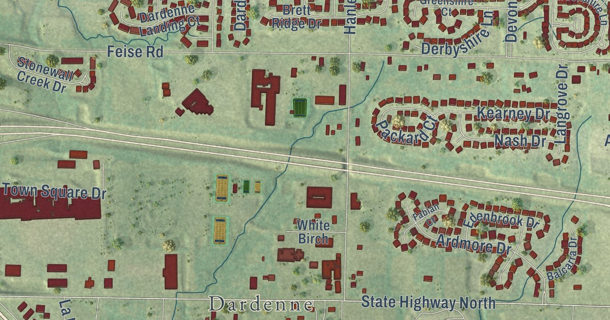
A detailed map of Dardenne Prairie, Missouri, showing every building in its true location, the roads by name, and shaded topographical relief.
Read More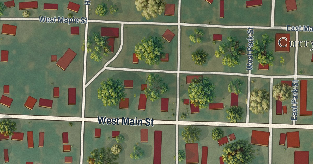
A detailed map of Curryville, Missouri, showing every building in its true location, the roads by name, and shaded topographical relief.
Read More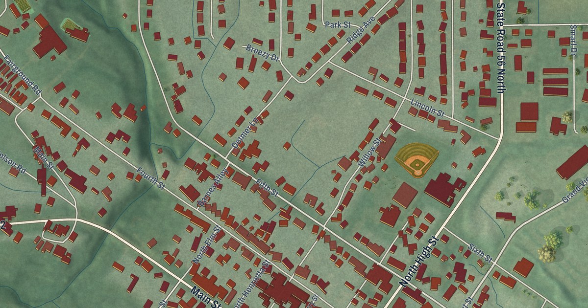
A detailed map of Rising Sun, Indiana, showing every building in its true location, the roads by name, and shaded topographical relief.
Read More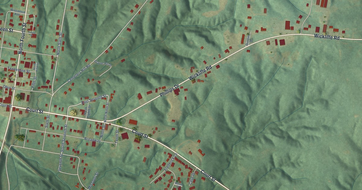
A detailed map of Wickliffe, Kentucky, showing every building in its true location, the roads by name, and shaded topographical relief.
Read More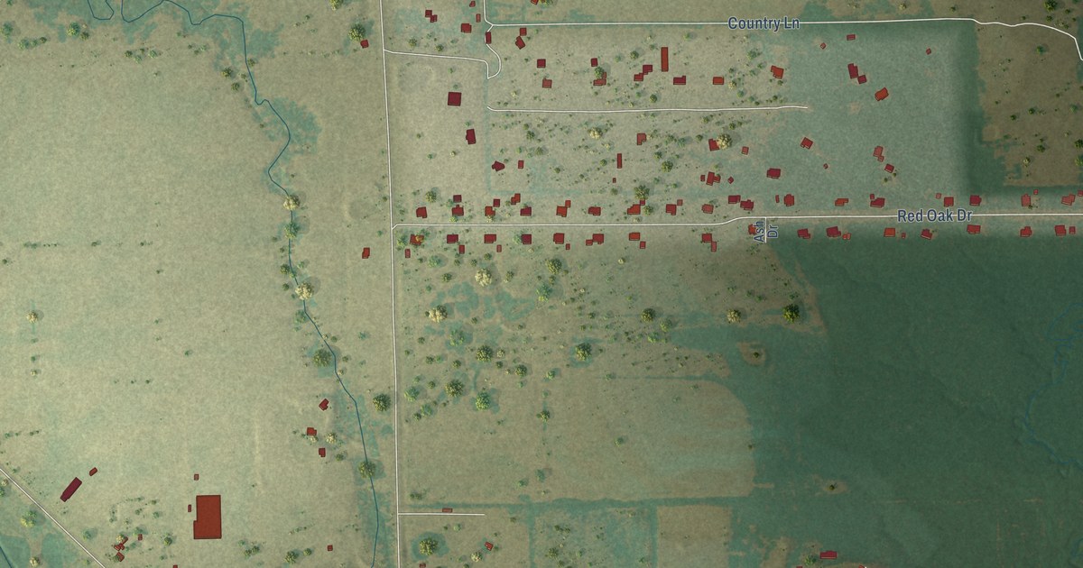
A detailed map of Union Valley, Texas, showing every building in its true location, the roads by name, and shaded topographical relief.
Read More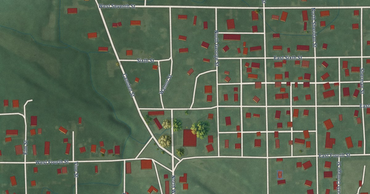
A detailed map of Ridgeville, Indiana, showing every building in its true location, the roads by name, and shaded topographical relief.
Read More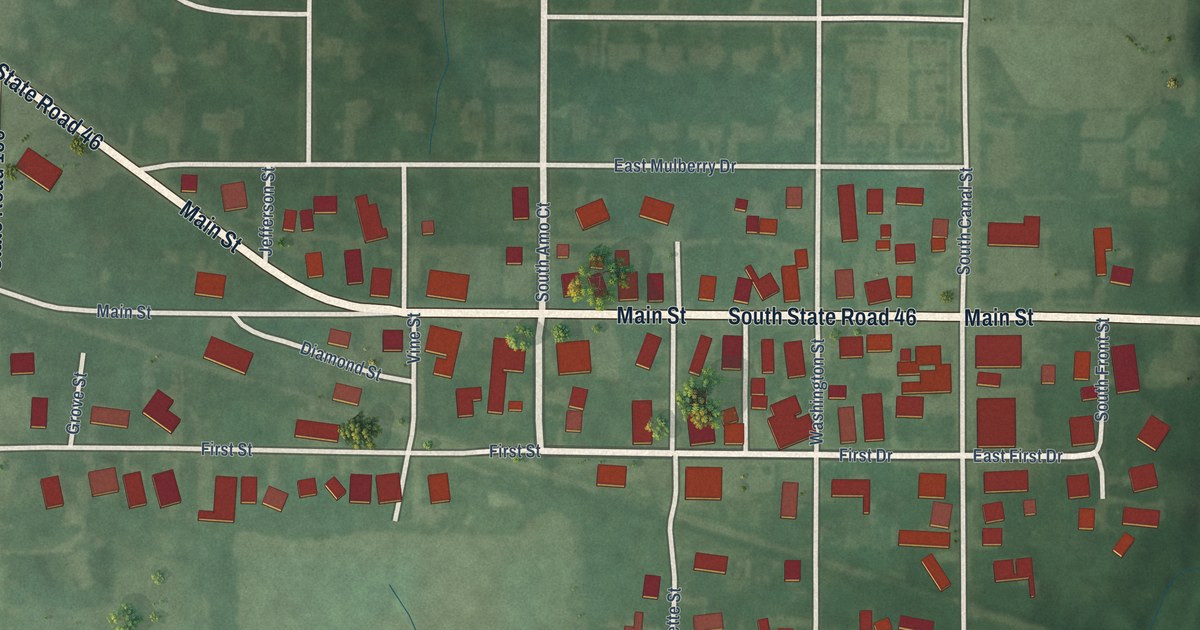
A detailed map of Riley, Indiana, showing every building in its true location, the roads by name, and shaded topographical relief.
Read More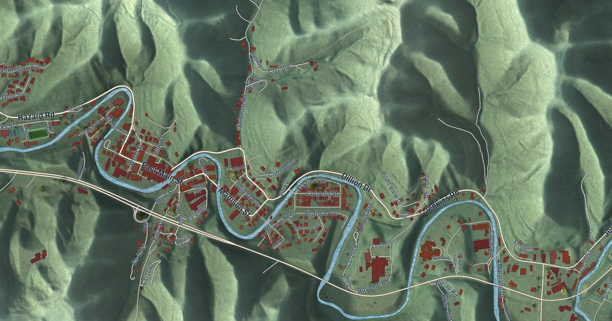
A detailed map of Whitesburg, Kentucky, showing every building in its true location, the roads by name, and shaded topographical relief.
Read More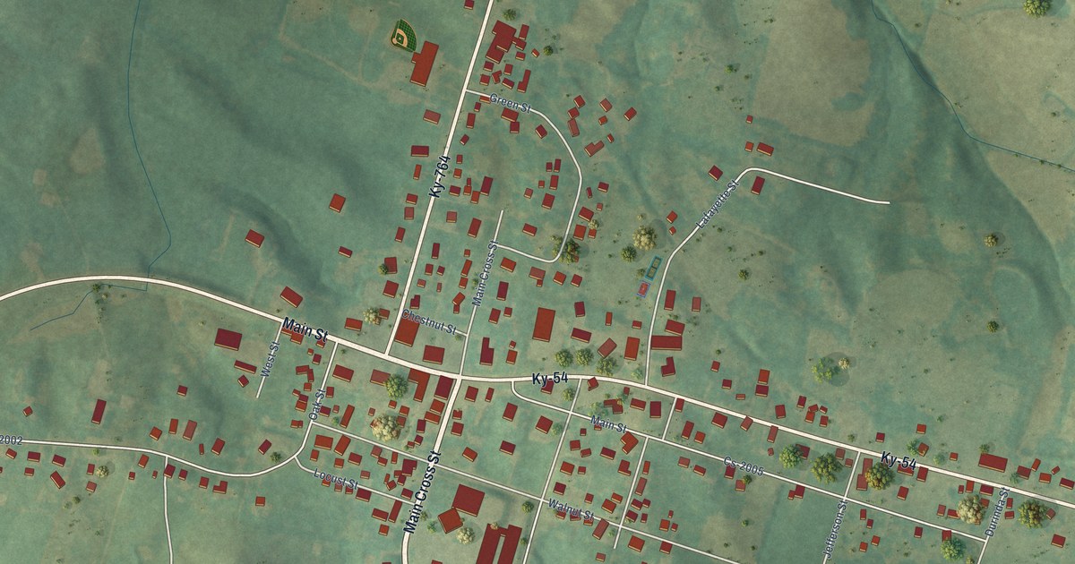
A detailed map of Whitesville, Kentucky, showing every building in its true location, the roads by name, and shaded topographical relief.
Read More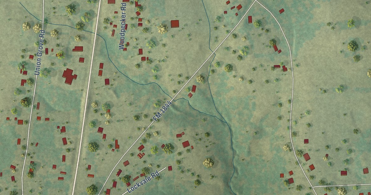
A detailed map of Union Grove, Texas, showing every building in its true location, the roads by name, and shaded topographical relief.
Read More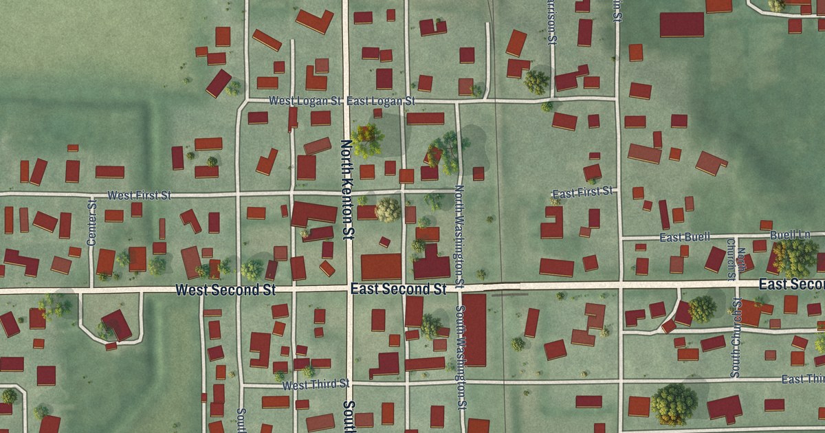
A detailed map of Reynolds, Indiana, showing every building in its true location, the roads by name, and shaded topographical relief.
Read More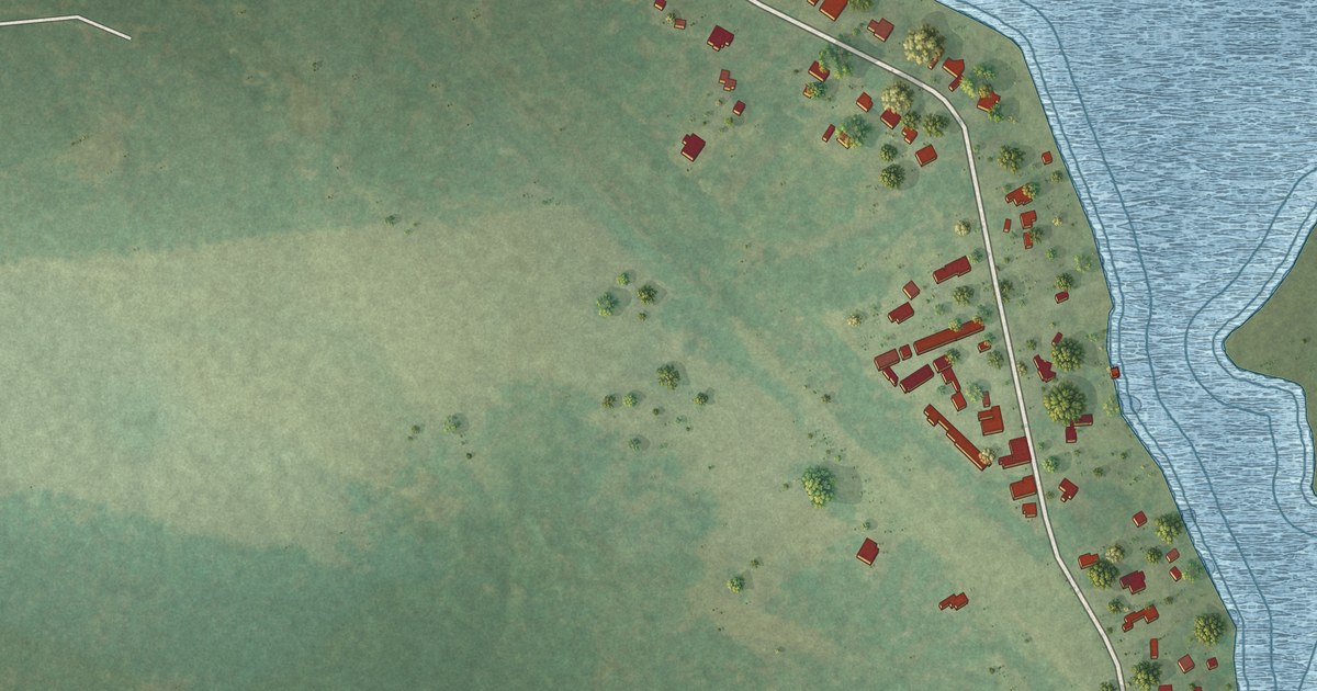
A detailed map of Uncertain, Texas, showing every building in its true location, the roads by name, and shaded topographical relief.
Read More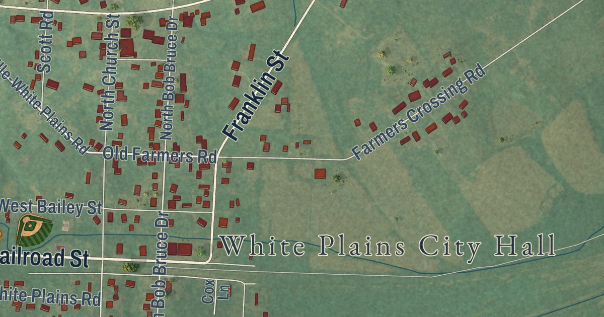
A detailed map of White Plains, Kentucky, showing every building in its true location, the roads by name, and shaded topographical relief.
Read More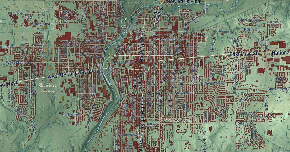
A detailed map of Richmond, Indiana, showing every building in its true location, the roads by name, and shaded topographical relief.
Read More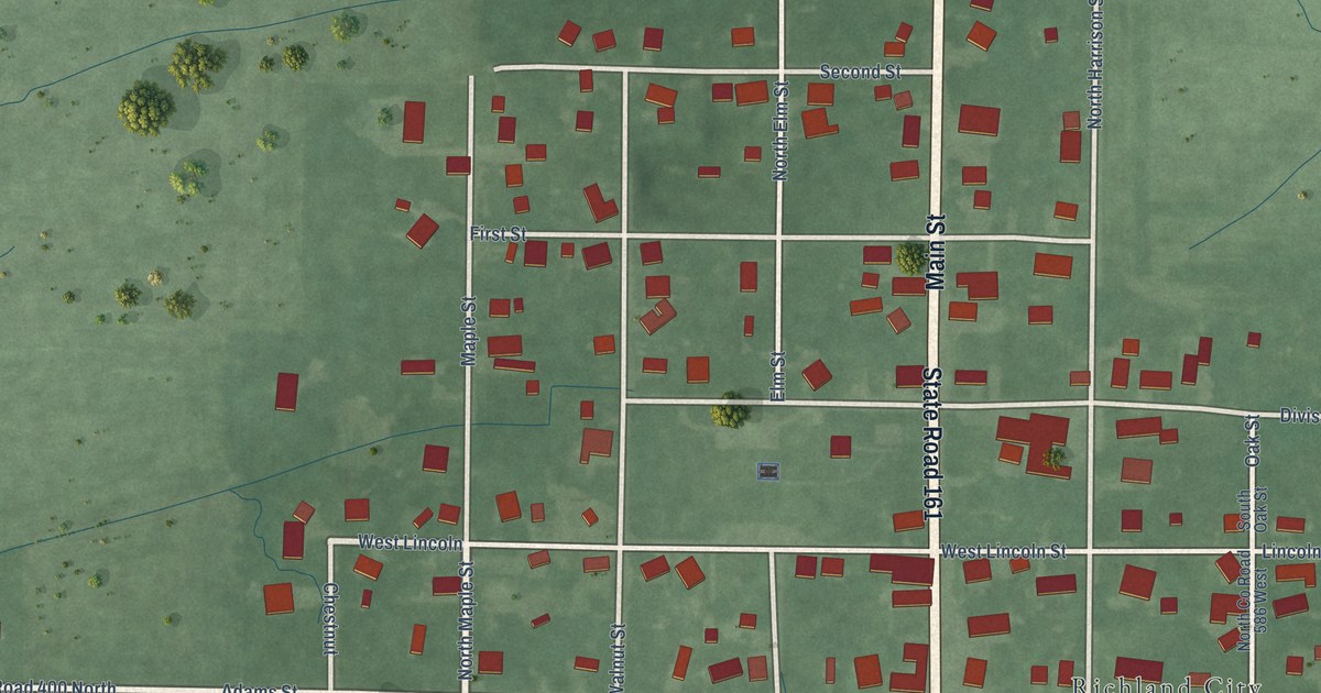
A detailed map of Richland, Indiana, showing every building in its true location, the roads by name, and shaded topographical relief.
Read More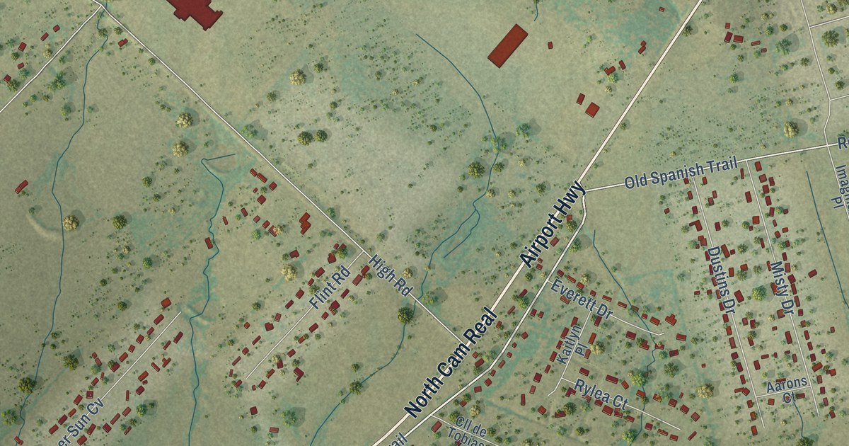
A detailed map of Uhland, Texas, showing every building in its true location, the roads by name, and shaded topographical relief.
Read More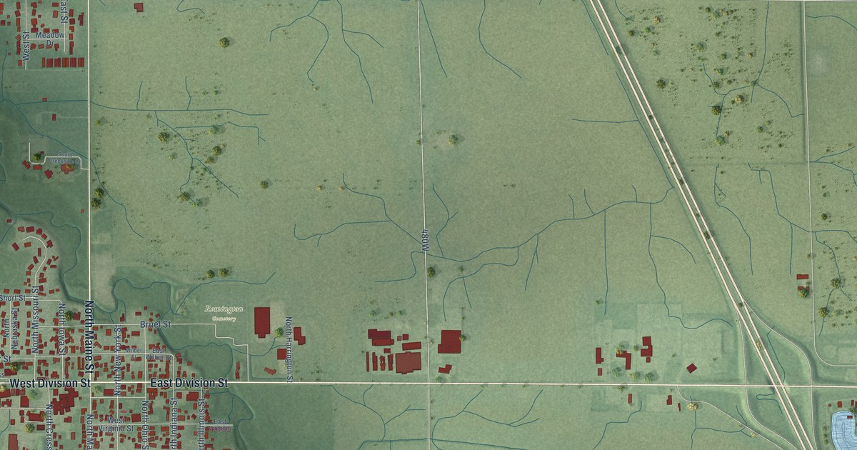
A detailed map of Remington, Indiana, showing every building in its true location, the roads by name, and shaded topographical relief.
Read More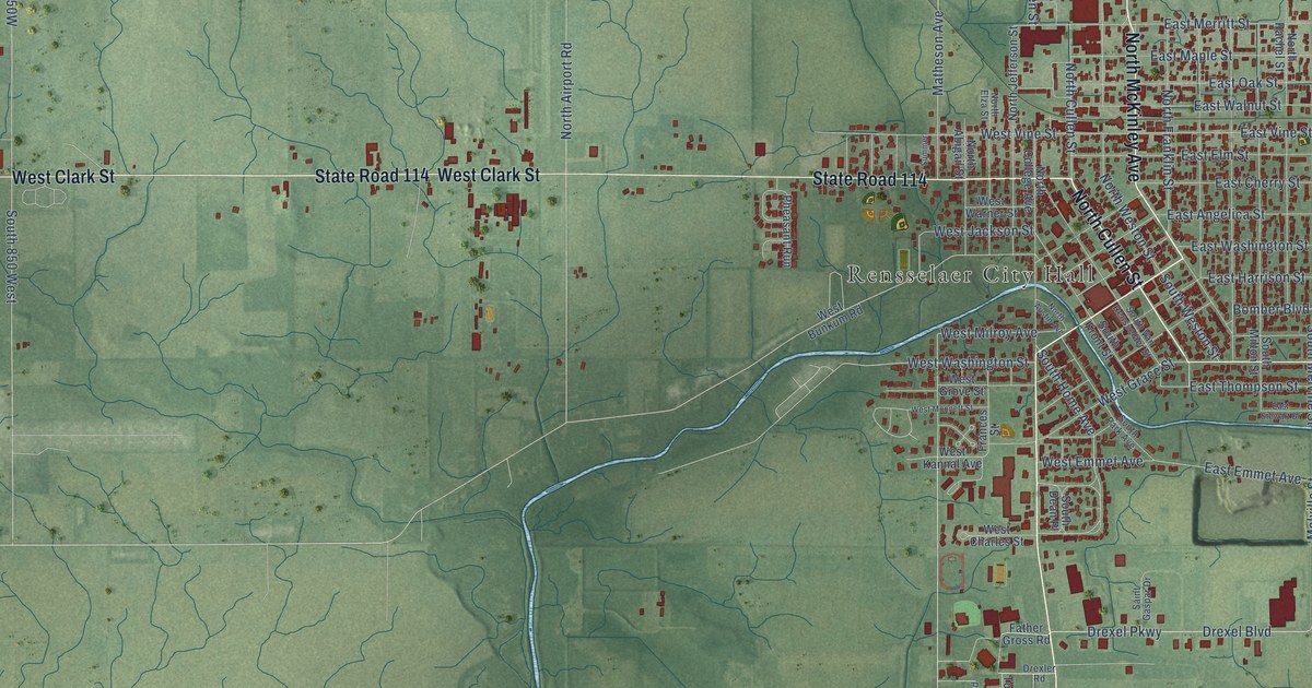
A detailed map of Rensselaer, Indiana, showing every building in its true location, the roads by name, and shaded topographical relief.
Read More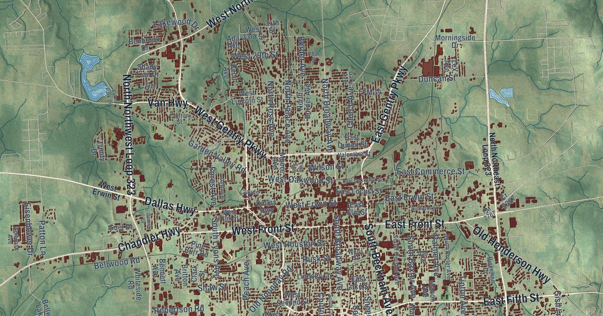
A detailed map of Tyler, Texas, showing every building in its true location, the roads by name, and shaded topographical relief.
Read More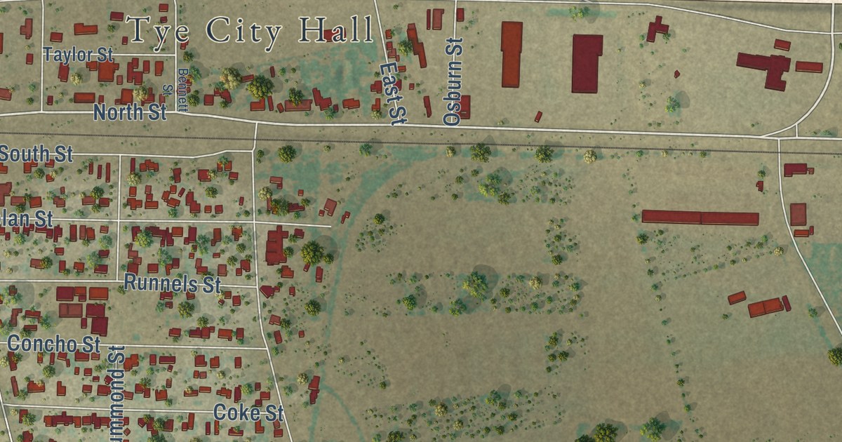
A detailed map of Tye, Texas, showing every building in its true location, the roads by name, and shaded topographical relief.
Read More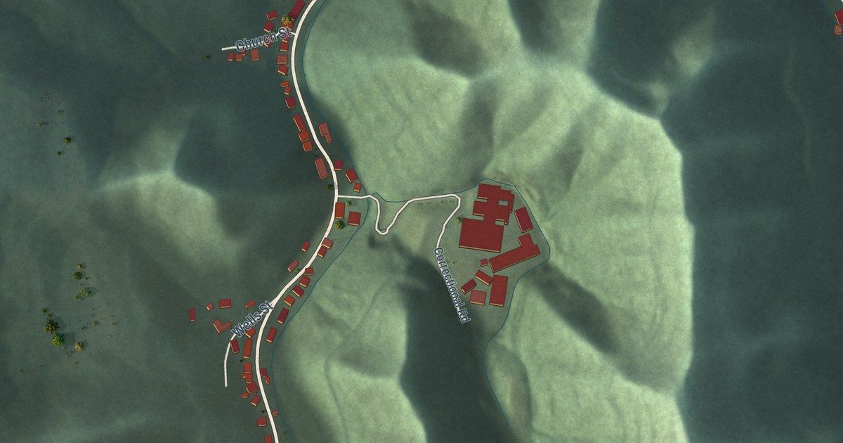
A detailed map of Wheelwright, Kentucky, showing every building in its true location, the roads by name, and shaded topographical relief.
Read More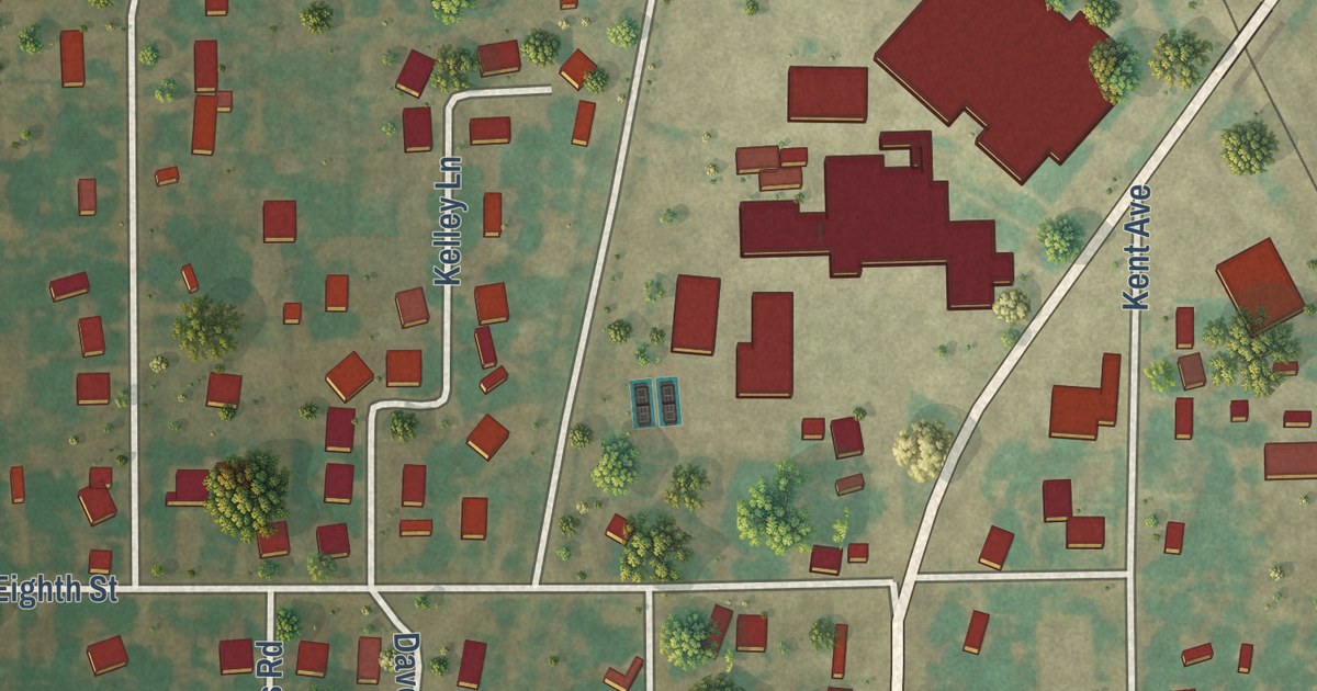
A detailed map of Tuscola, Texas, showing every building in its true location, the roads by name, and shaded topographical relief.
Read More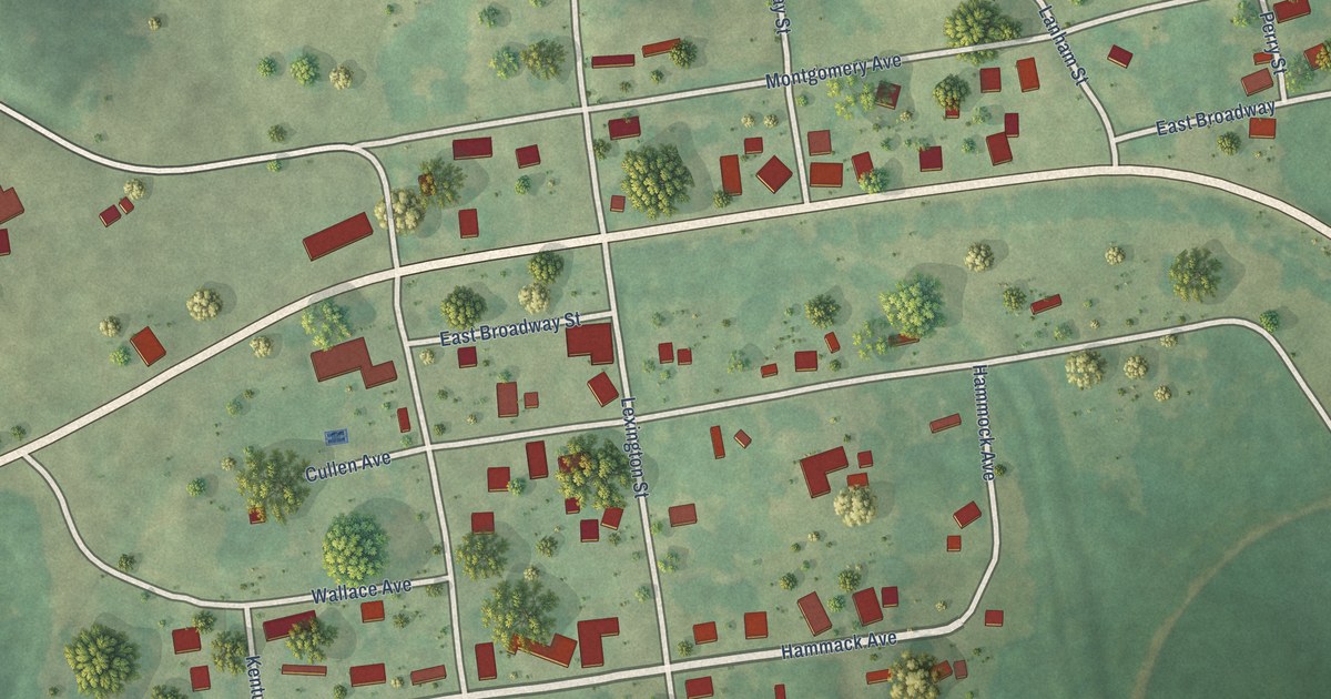
A detailed map of Wheatcroft, Kentucky, showing every building in its true location, the roads by name, and shaded topographical relief.
Read More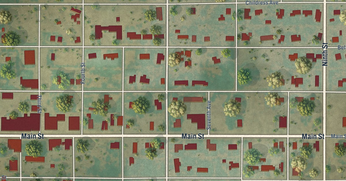
A detailed map of Turkey, Texas, showing every building in its true location, the roads by name, and shaded topographical relief.
Read More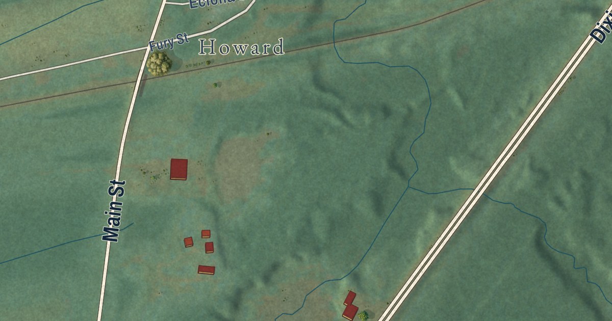
A detailed map of West Point, Kentucky, showing every building in its true location, the roads by name, and shaded topographical relief.
Read More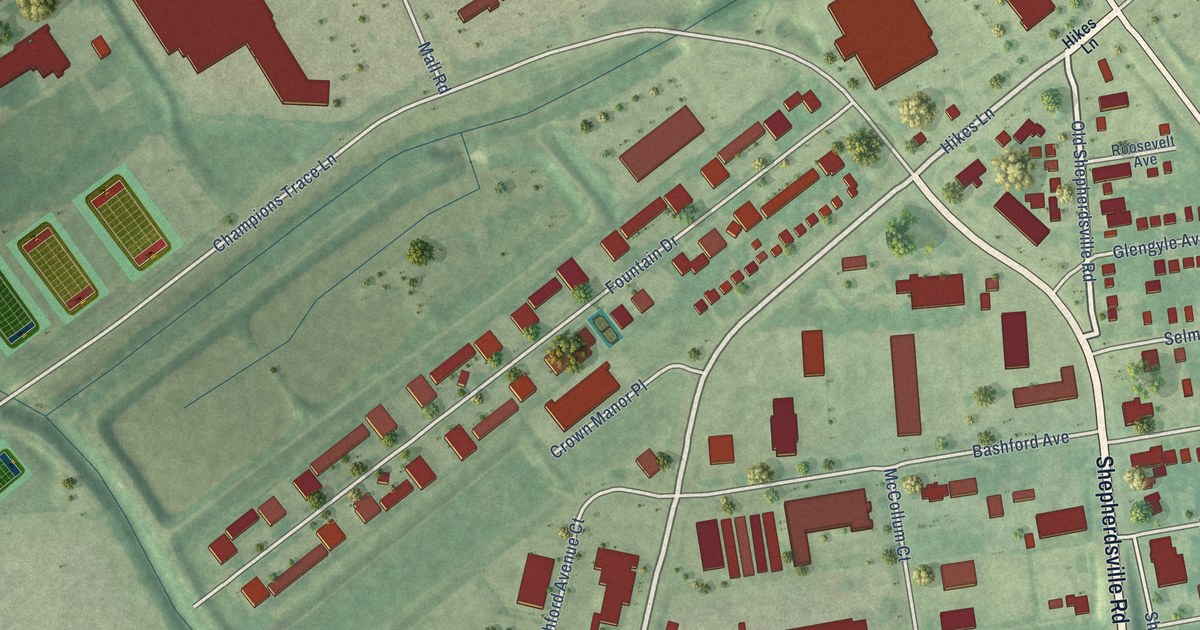
A detailed map of West Buechel, Kentucky, showing every building in its true location, the roads by name, and shaded topographical relief.
Read More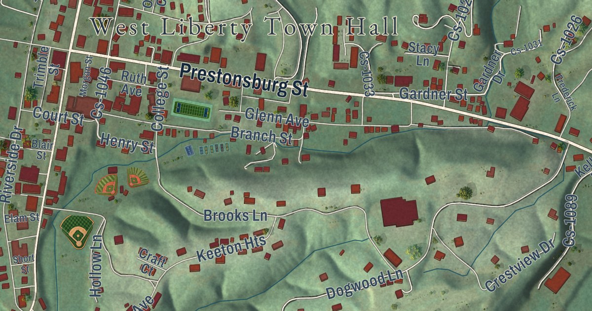
A detailed map of West Liberty, Kentucky, showing every building in its true location, the roads by name, and shaded topographical relief.
Read More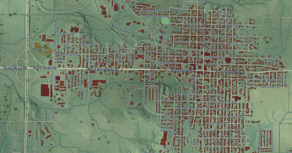
A detailed map of Princeton, Indiana, showing every building in its true location, the roads by name, and shaded topographical relief.
Read More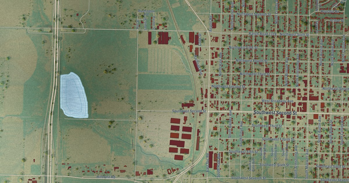
A detailed map of Tulia, Texas, showing every building in its true location, the roads by name, and shaded topographical relief.
Read More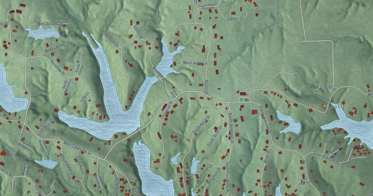
A detailed map of Prince’s Lakes, Indiana, showing every building in its true location, the roads by name, and shaded topographical relief.
Read More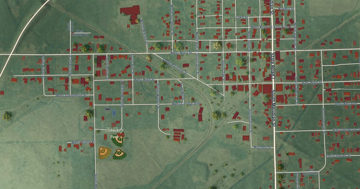
A detailed map of Redkey, Indiana, showing every building in its true location, the roads by name, and shaded topographical relief.
Read More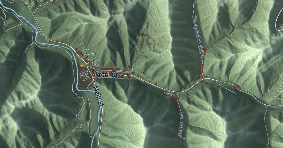
A detailed map of Wayland, Kentucky, showing every building in its true location, the roads by name, and shaded topographical relief.
Read More
A detailed map of Watterson Park, Kentucky, showing every building in its true location, the roads by name, and shaded topographical relief.
Read More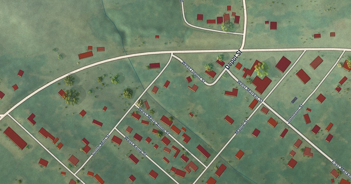
A detailed map of Waverly, Kentucky, showing every building in its true location, the roads by name, and shaded topographical relief.
Read More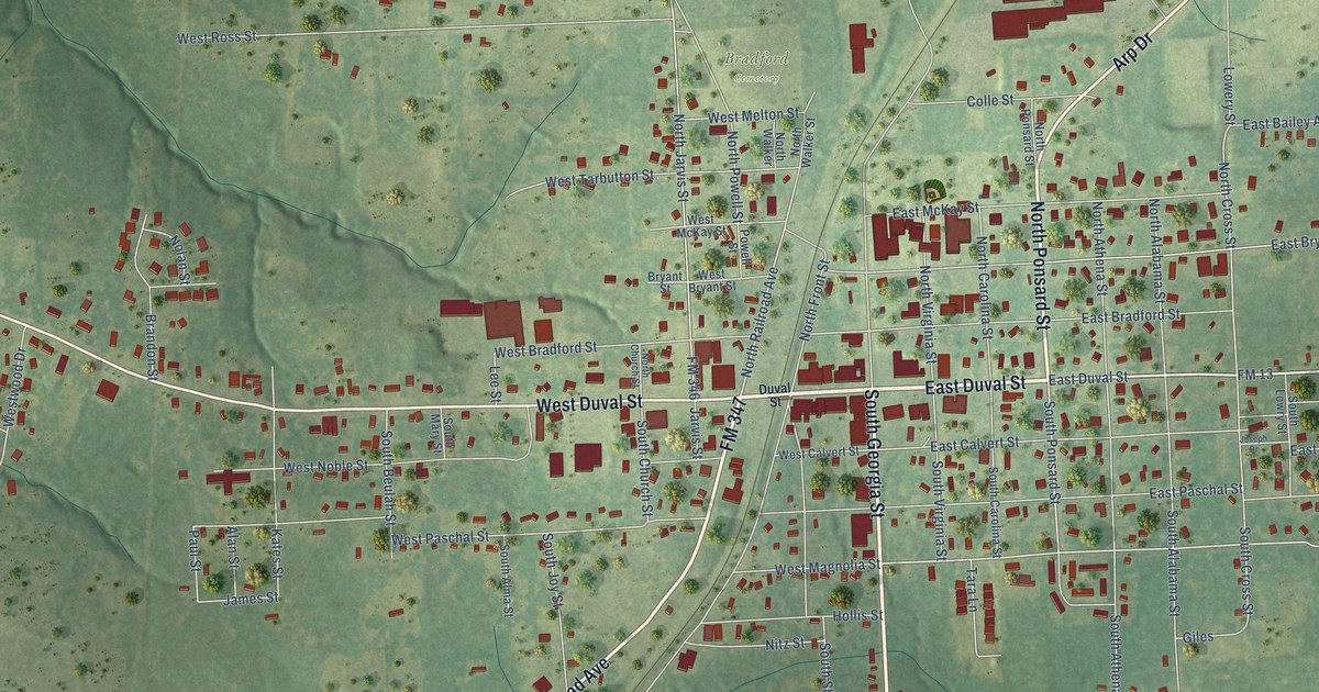
A detailed map of Troup, Texas, showing every building in its true location, the roads by name, and shaded topographical relief.
Read More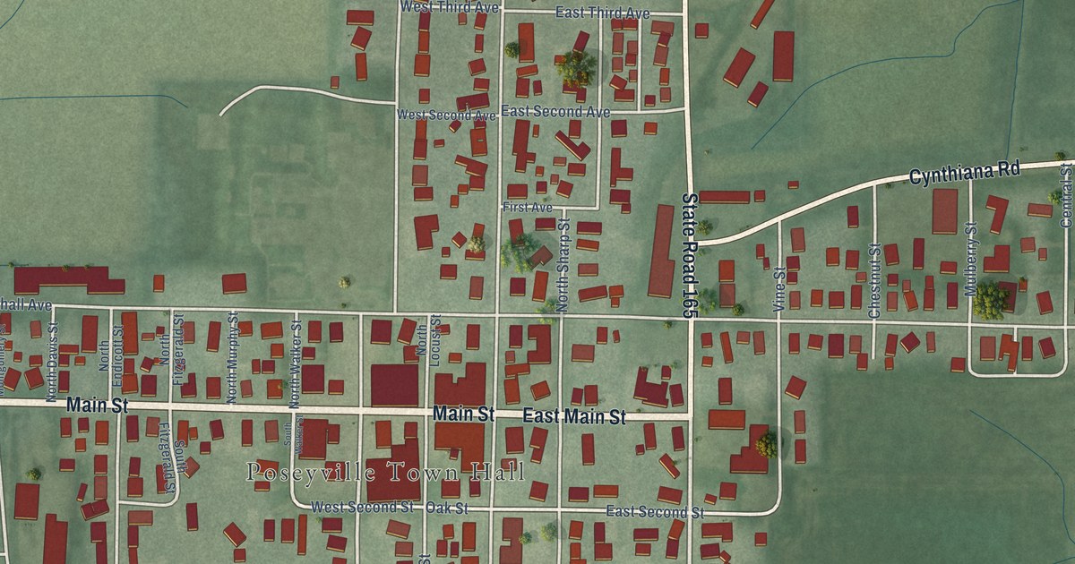
A detailed map of Poseyville, Indiana, showing every building in its true location, the roads by name, and shaded topographical relief.
Read More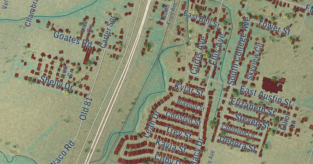
A detailed map of Troy, Texas, showing every building in its true location, the roads by name, and shaded topographical relief.
Read More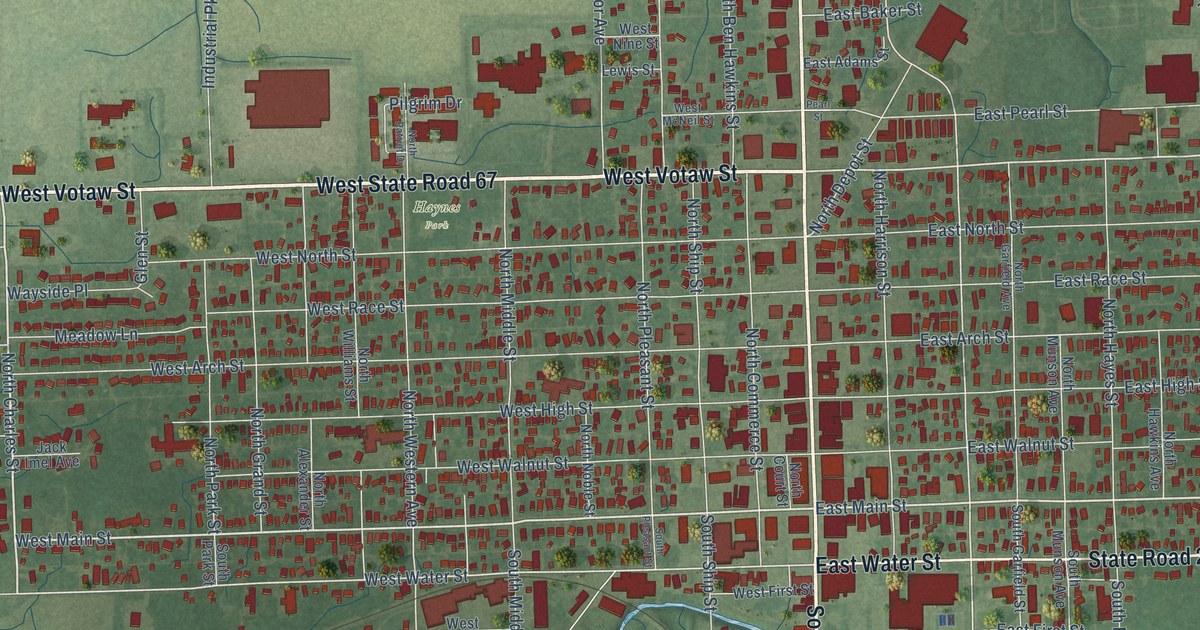
A detailed map of Portland, Indiana, showing every building in its true location, the roads by name, and shaded topographical relief.
Read More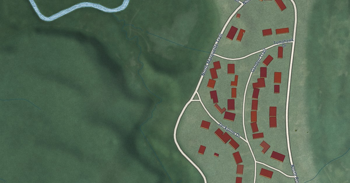
A detailed map of Pottawattamie Park, Indiana, showing every building in its true location, the roads by name, and shaded topographical relief.
Read More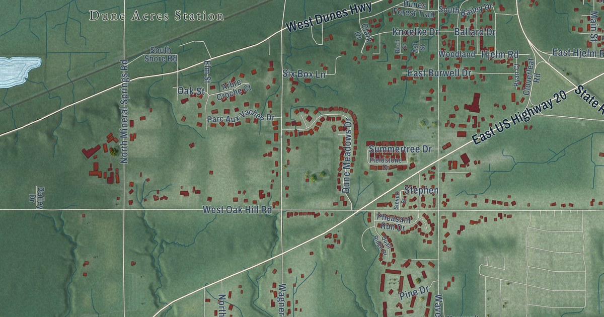
A detailed map of Porter, Indiana, showing every building in its true location, the roads by name, and shaded topographical relief.
Read More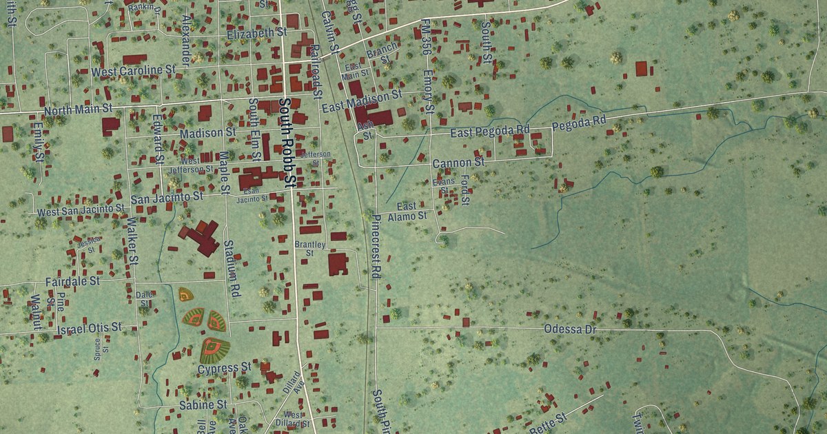
A detailed map of Trinity, Texas, showing every building in its true location, the roads by name, and shaded topographical relief.
Read More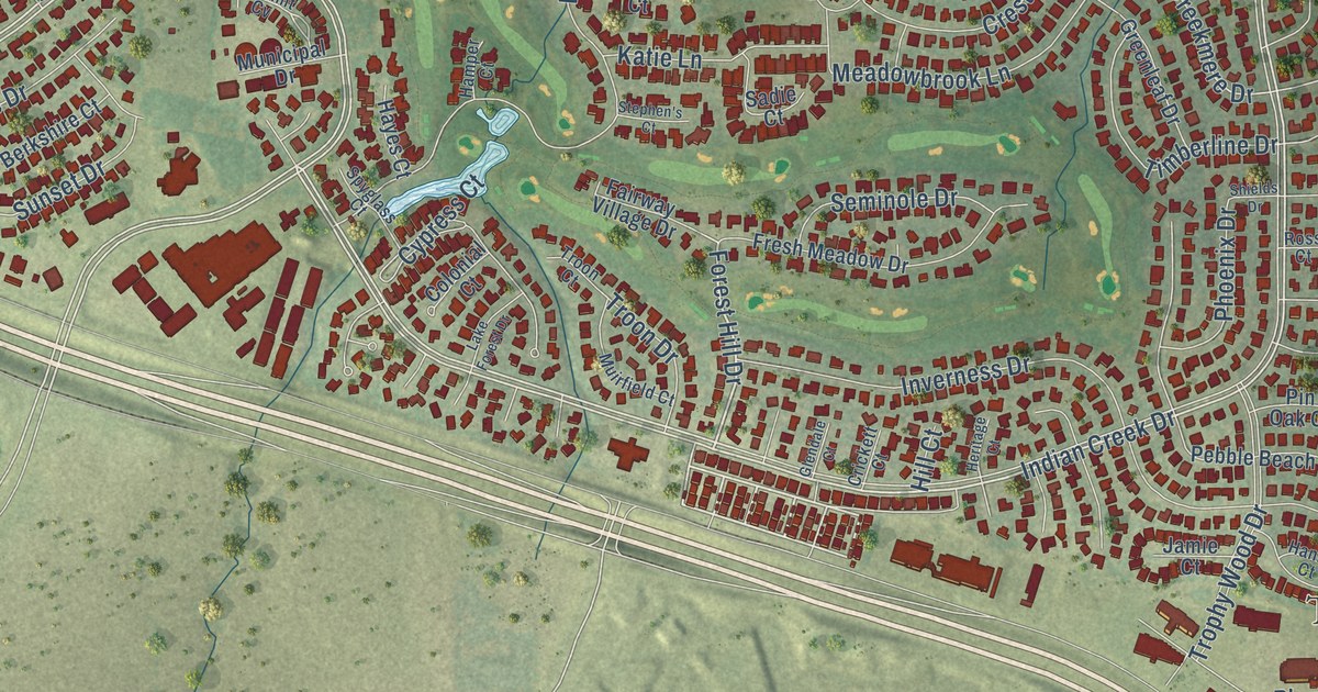
A detailed map of Trophy Club, Texas, showing every building in its true location, the roads by name, and shaded topographical relief.
Read More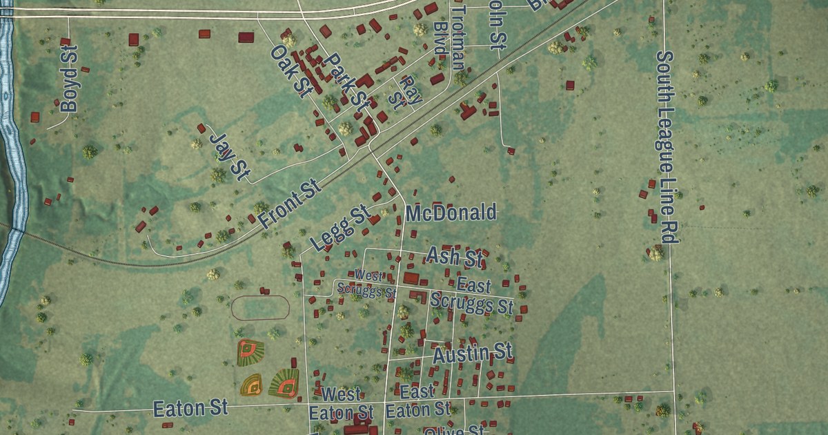
A detailed map of Trinidad, Texas, showing every building in its true location, the roads by name, and shaded topographical relief.
Read More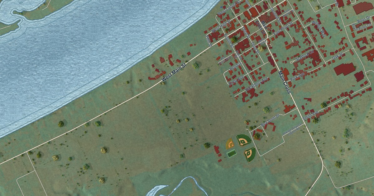
A detailed map of Warsaw, Kentucky, showing every building in its true location, the roads by name, and shaded topographical relief.
Read More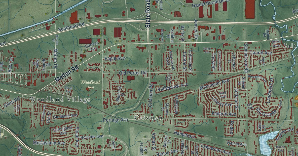
A detailed map of Portage, Indiana, showing every building in its true location, the roads by name, and shaded topographical relief.
Read More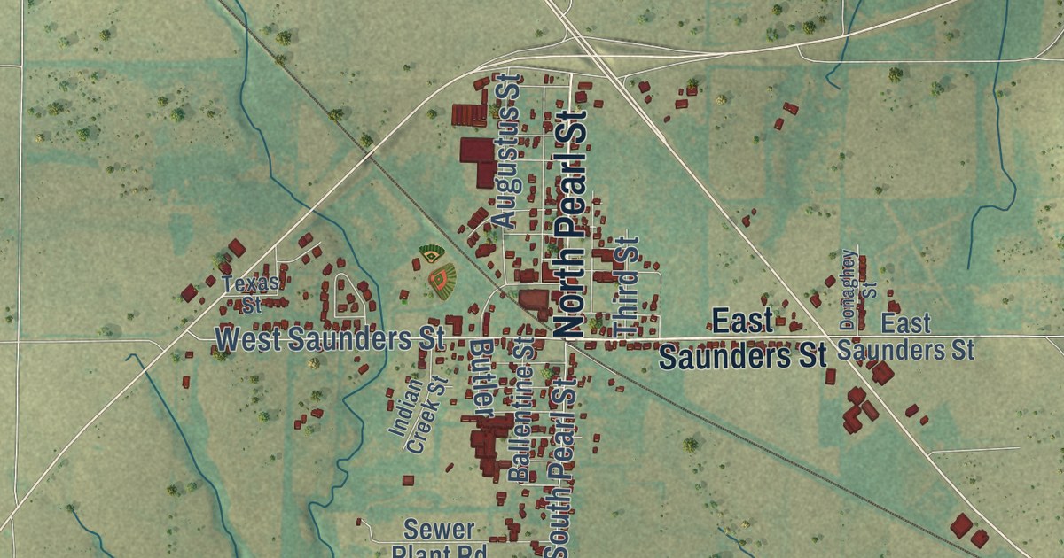
A detailed map of Trenton, Texas, showing every building in its true location, the roads by name, and shaded topographical relief.
Read More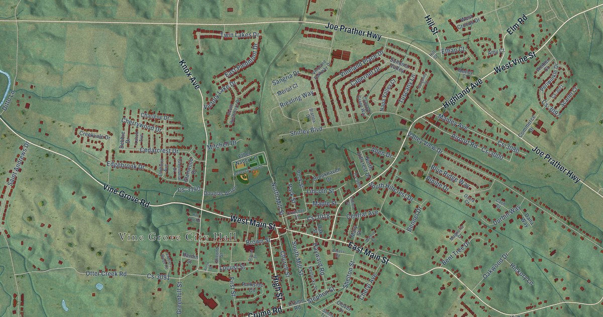
A detailed map of Vine Grove, Kentucky, showing every building in its true location, the roads by name, and shaded topographical relief.
Read More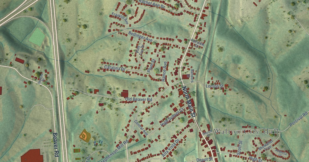
A detailed map of Walton, Kentucky, showing every building in its true location, the roads by name, and shaded topographical relief.
Read More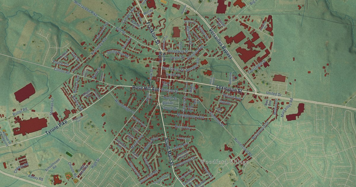
A detailed map of Versailles, Kentucky, showing every building in its true location, the roads by name, and shaded topographical relief.
Read More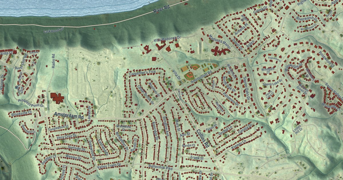
A detailed map of Villa Hills, Kentucky, showing every building in its true location, the roads by name, and shaded topographical relief.
Read More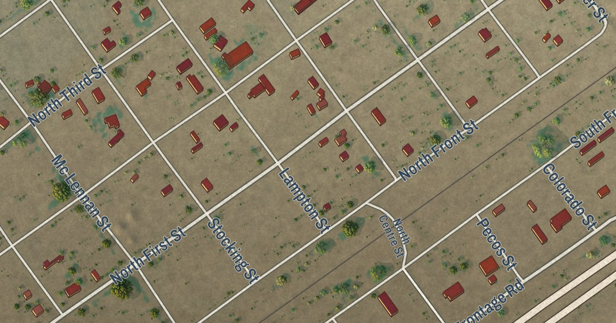
A detailed map of Toyah, Texas, showing every building in its true location, the roads by name, and shaded topographical relief.
Read More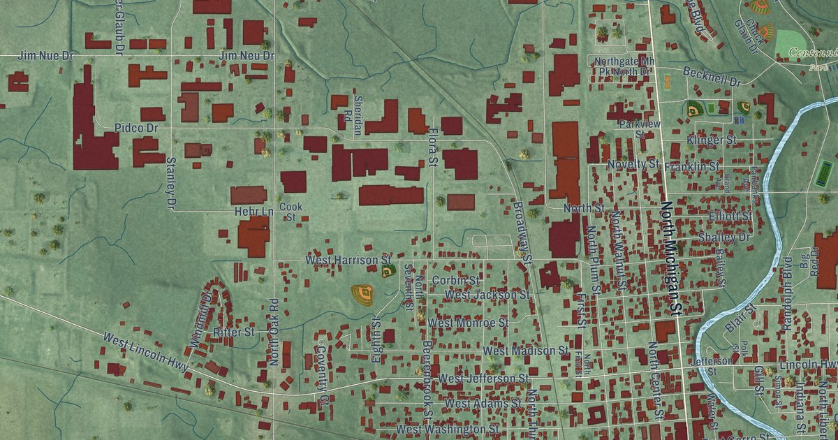
A detailed map of Plymouth, Indiana, showing every building in its true location, the roads by name, and shaded topographical relief.
Read More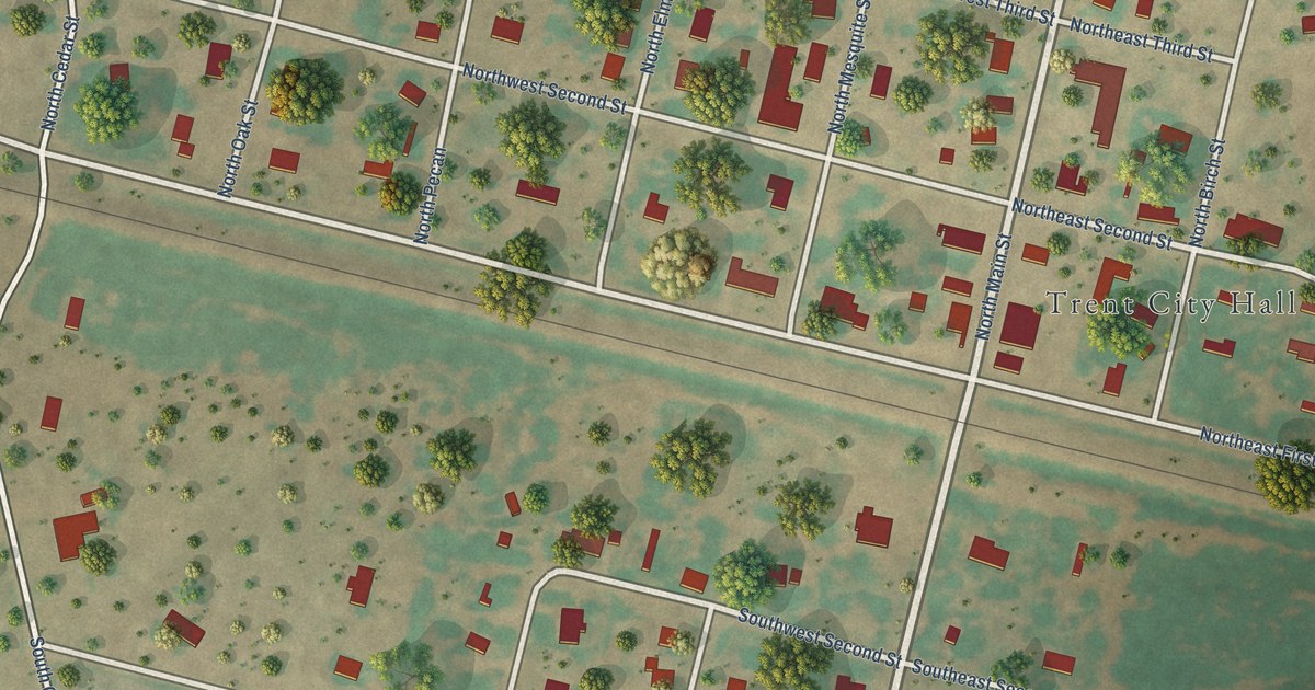
A detailed map of Trent, Texas, showing every building in its true location, the roads by name, and shaded topographical relief.
Read More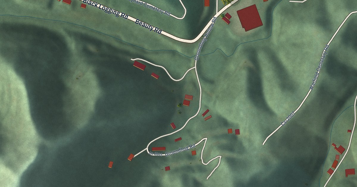
A detailed map of Warfield, Kentucky, showing every building in its true location, the roads by name, and shaded topographical relief.
Read More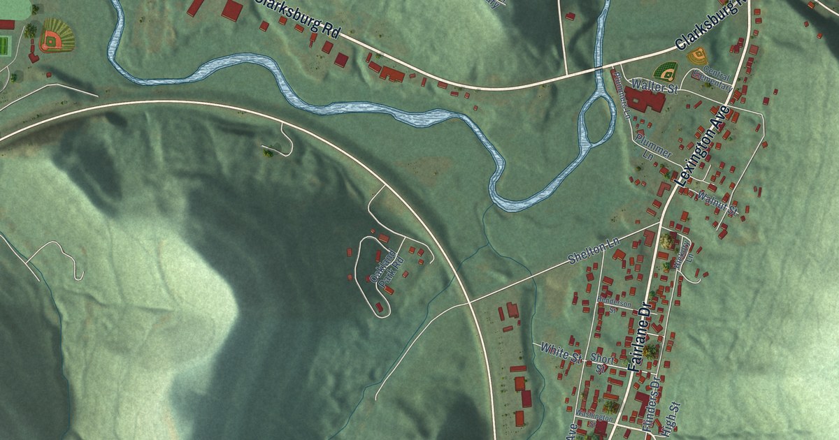
A detailed map of Vanceburg, Kentucky, showing every building in its true location, the roads by name, and shaded topographical relief.
Read More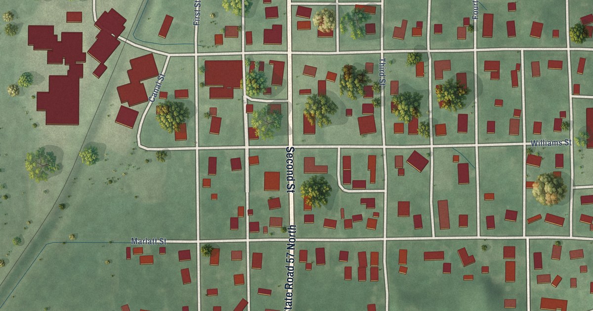
A detailed map of Plainville, Indiana, showing every building in its true location, the roads by name, and shaded topographical relief.
Read More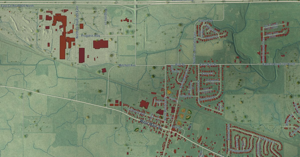
A detailed map of Pittsboro, Indiana, showing every building in its true location, the roads by name, and shaded topographical relief.
Read More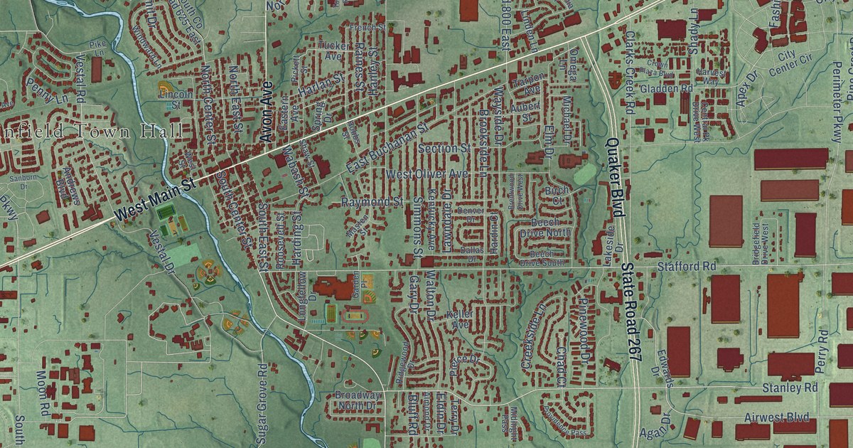
A detailed map of Plainfield, Indiana, showing every building in its true location, the roads by name, and shaded topographical relief.
Read More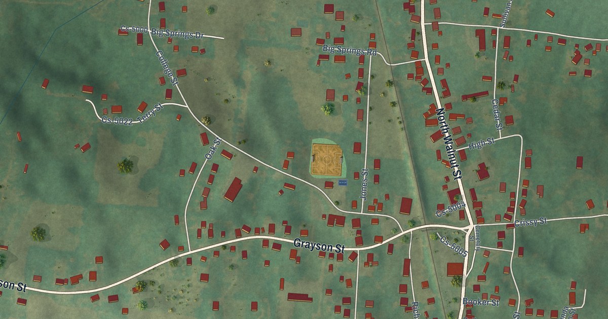
A detailed map of Upton, Kentucky, showing every building in its true location, the roads by name, and shaded topographical relief.
Read More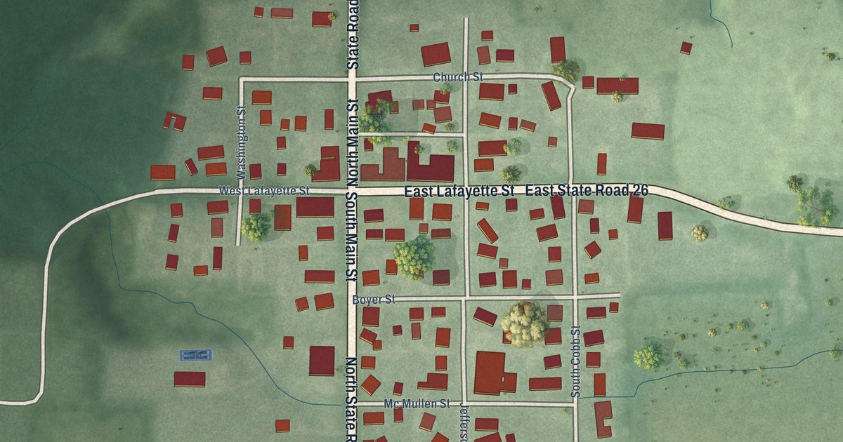
A detailed map of Pine Village, Indiana, showing every building in its true location, the roads by name, and shaded topographical relief.
Read More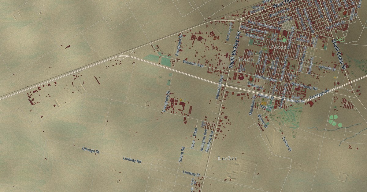
A detailed map of Pecos, Texas, showing every building in its true location, the roads by name, and shaded topographical relief.
Read More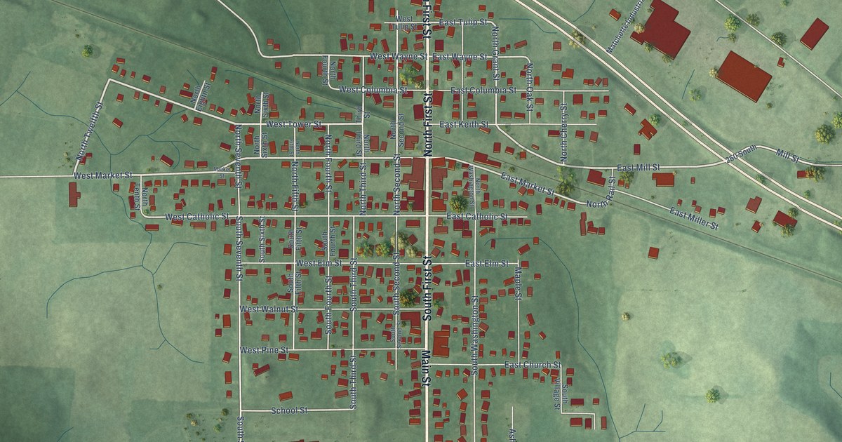
A detailed map of Pierceton, Indiana, showing every building in its true location, the roads by name, and shaded topographical relief.
Read More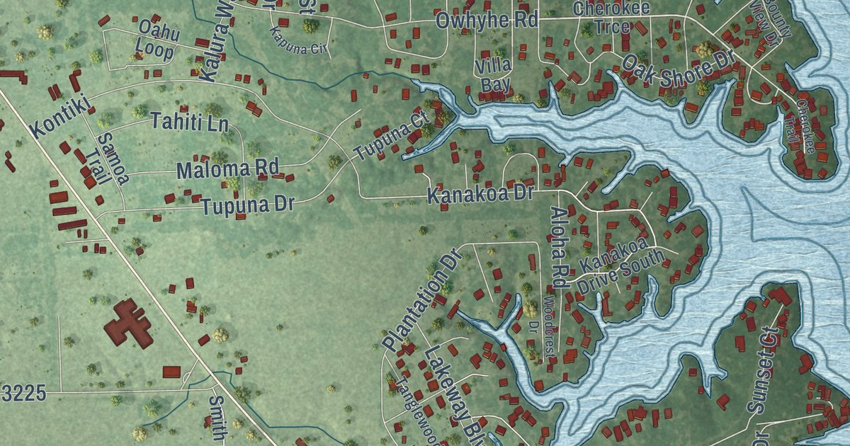
A detailed map of Tool, Texas, showing every building in its true location, the roads by name, and shaded topographical relief.
Read More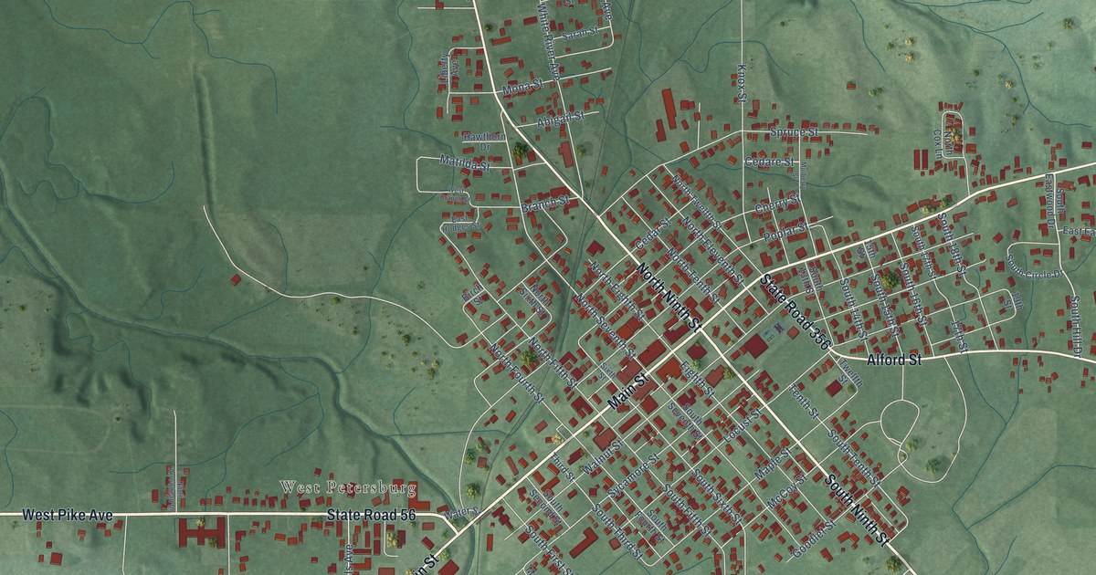
A detailed map of Petersburg, Indiana, showing every building in its true location, the roads by name, and shaded topographical relief.
Read More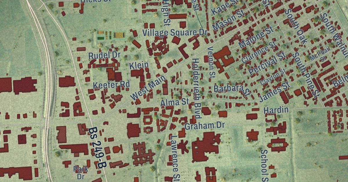
A detailed map of Tomball, Texas, showing every building in its true location, the roads by name, and shaded topographical relief.
Read More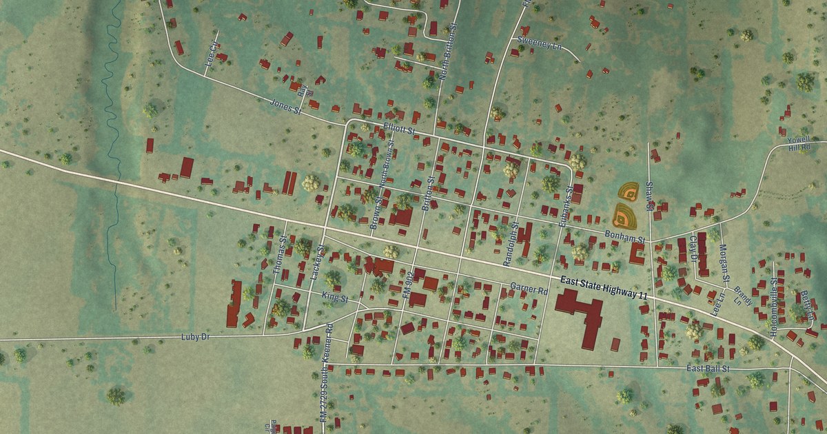
A detailed map of Tom Bean, Texas, showing every building in its true location, the roads by name, and shaded topographical relief.
Read More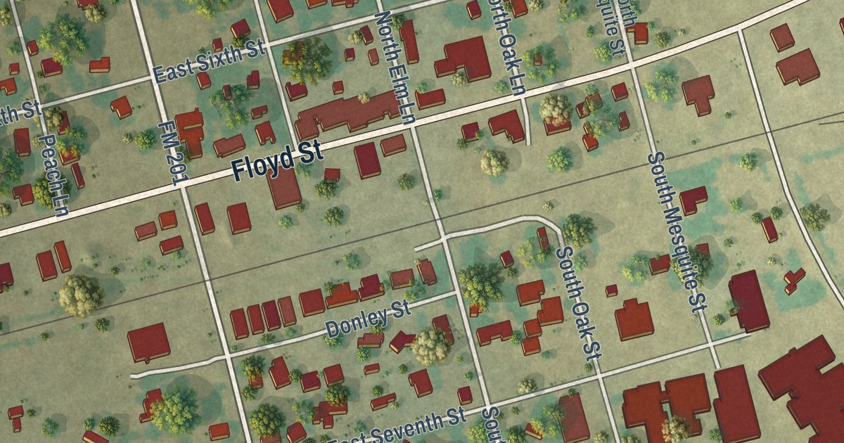
A detailed map of Tolar, Texas, showing every building in its true location, the roads by name, and shaded topographical relief.
Read More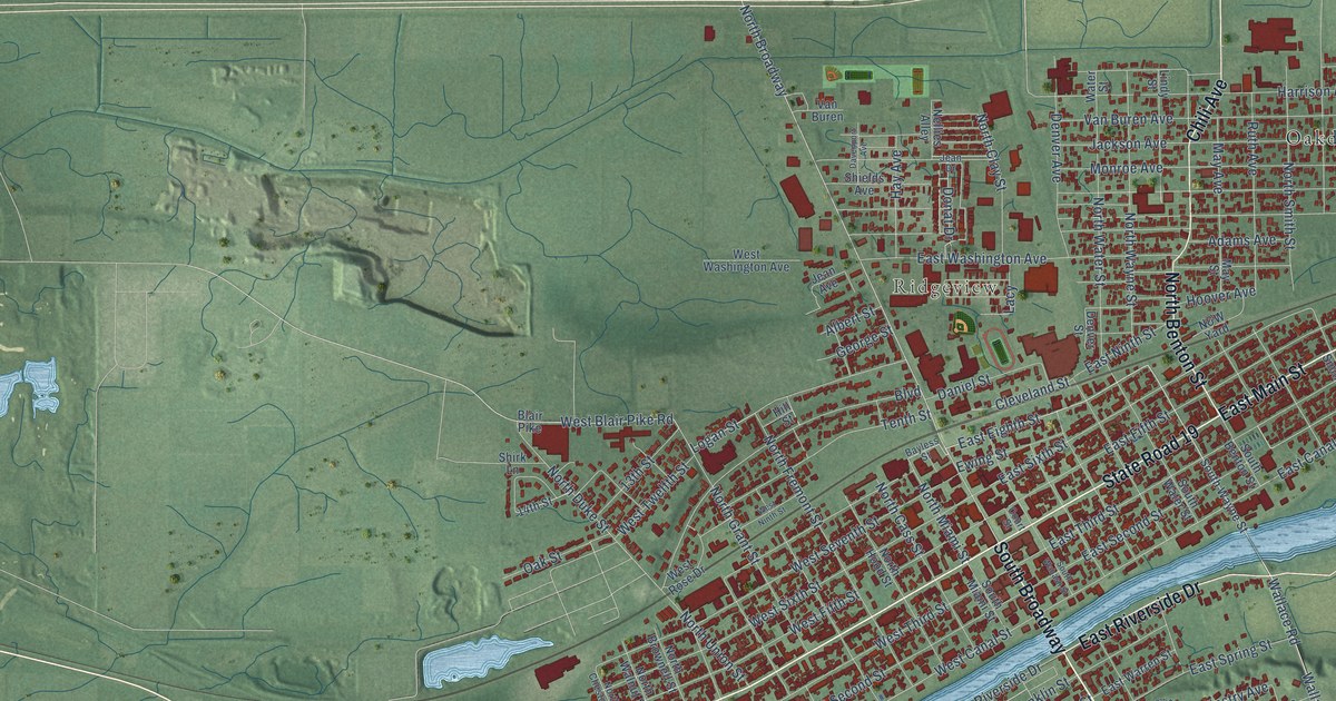
A detailed map of Peru, Indiana, showing every building in its true location, the roads by name, and shaded topographical relief.
Read More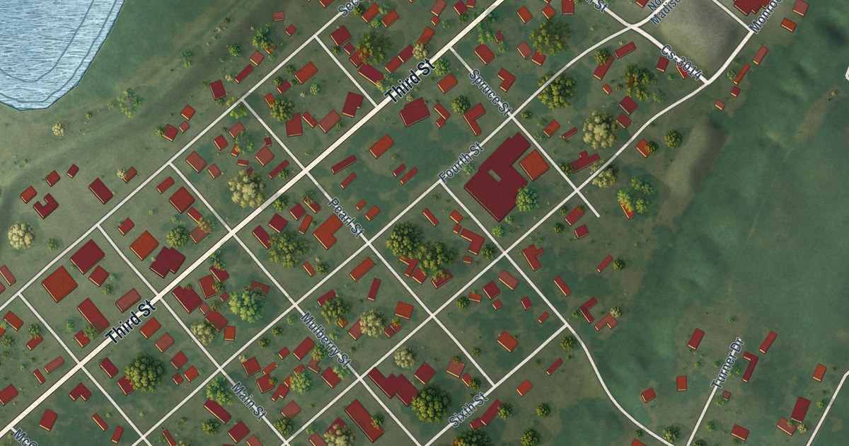
A detailed map of Uniontown, Kentucky, showing every building in its true location, the roads by name, and shaded topographical relief.
Read More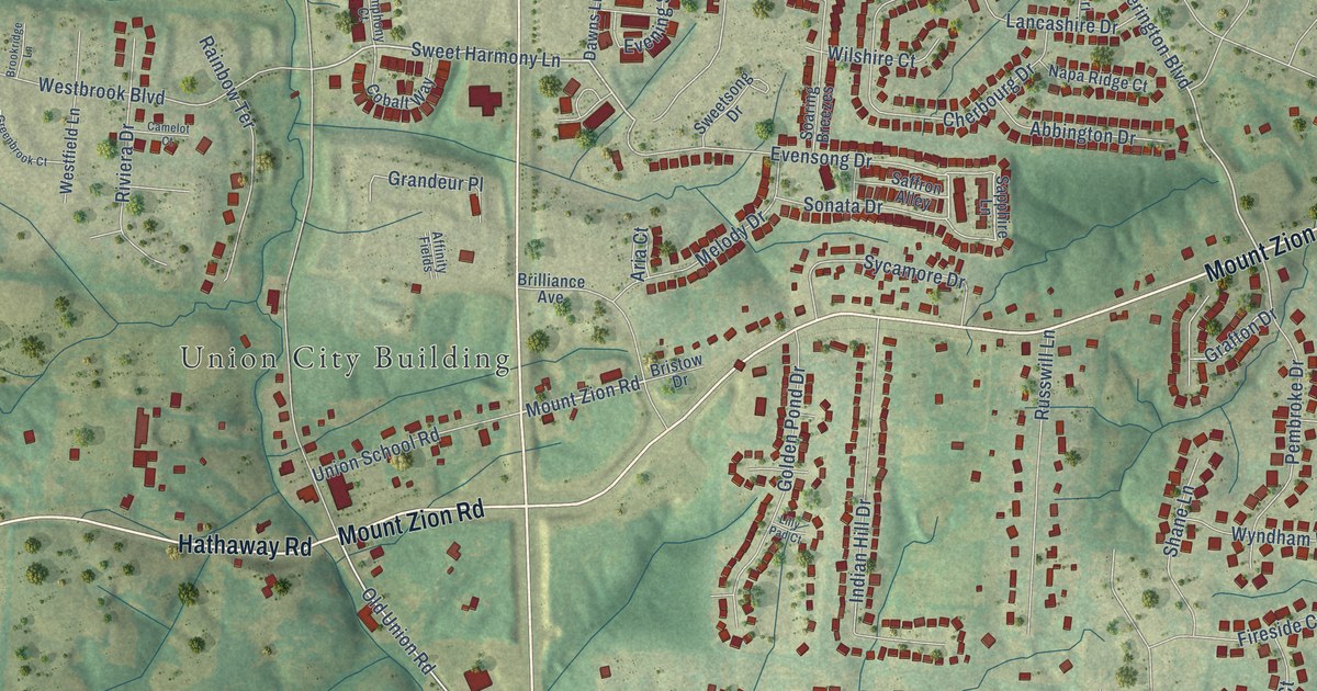
A detailed map of Union, Kentucky, showing every building in its true location, the roads by name, and shaded topographical relief.
Read More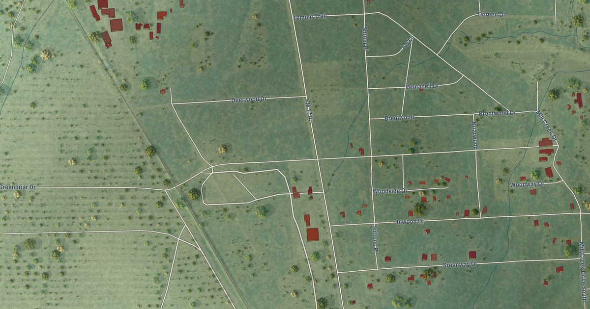
A detailed map of Todd Mission, Texas, showing every building in its true location, the roads by name, and shaded topographical relief.
Read More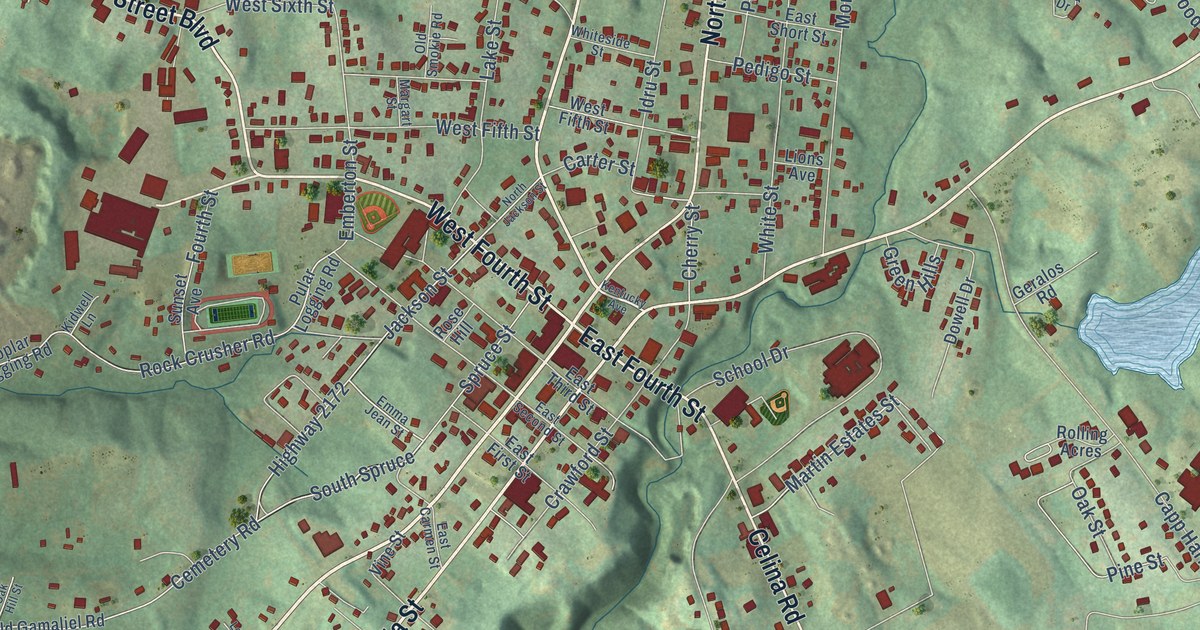
A detailed map of Tompkinsville, Kentucky, showing every building in its true location, the roads by name, and shaded topographical relief.
Read More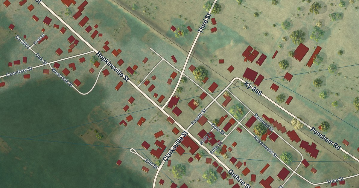
A detailed map of Trenton, Kentucky, showing every building in its true location, the roads by name, and shaded topographical relief.
Read More















