Detailed Map of Toco, Texas
A detailed map of Toco, Texas, showing every building in its true location, the roads by name, and shaded topographical relief.
Read More
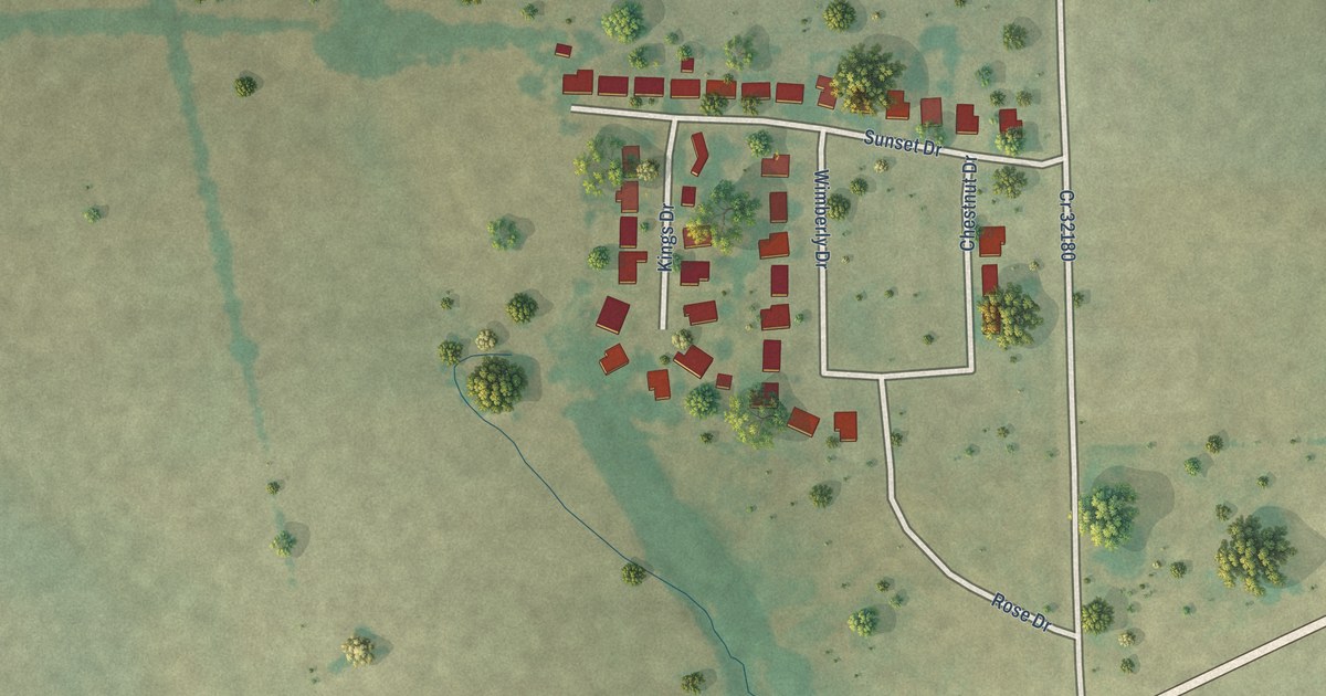
A detailed map of Toco, Texas, showing every building in its true location, the roads by name, and shaded topographical relief.
Read More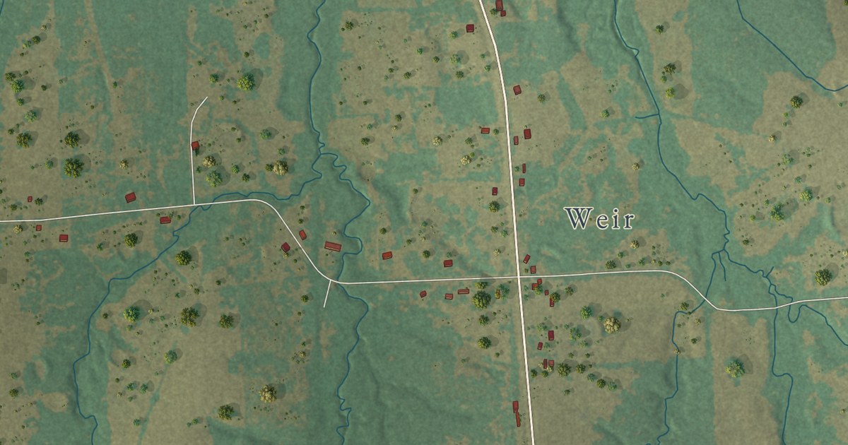
A detailed map of Tira, Texas, showing every building in its true location, the roads by name, and shaded topographical relief.
Read More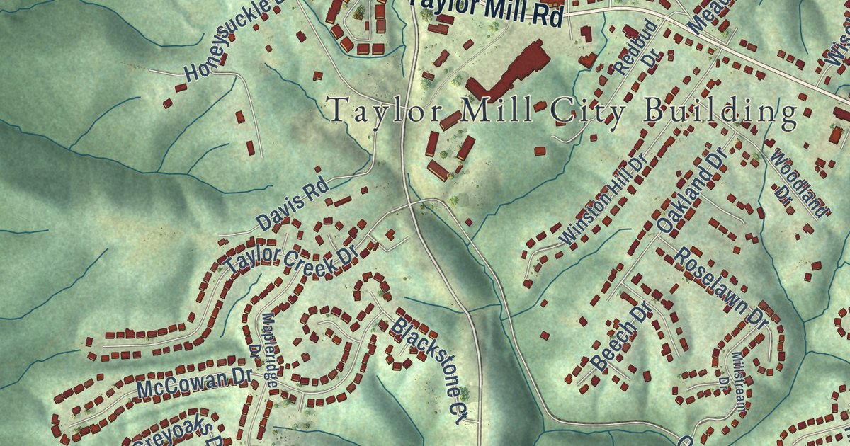
A detailed map of Taylor Mill, Kentucky, showing every building in its true location, the roads by name, and shaded topographical relief.
Read More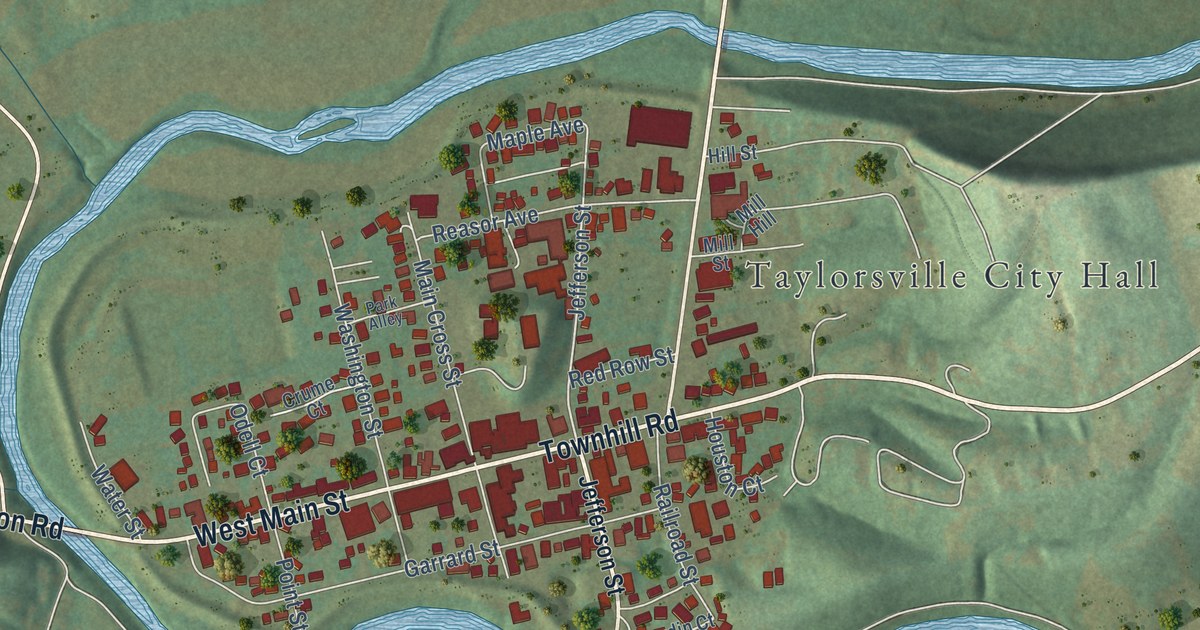
A detailed map of Taylorsville, Kentucky, showing every building in its true location, the roads by name, and shaded topographical relief.
Read More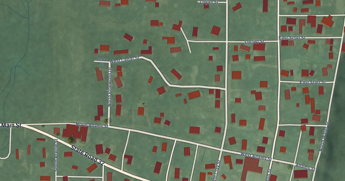
A detailed map of Perrysville, Indiana, showing every building in its true location, the roads by name, and shaded topographical relief.
Read More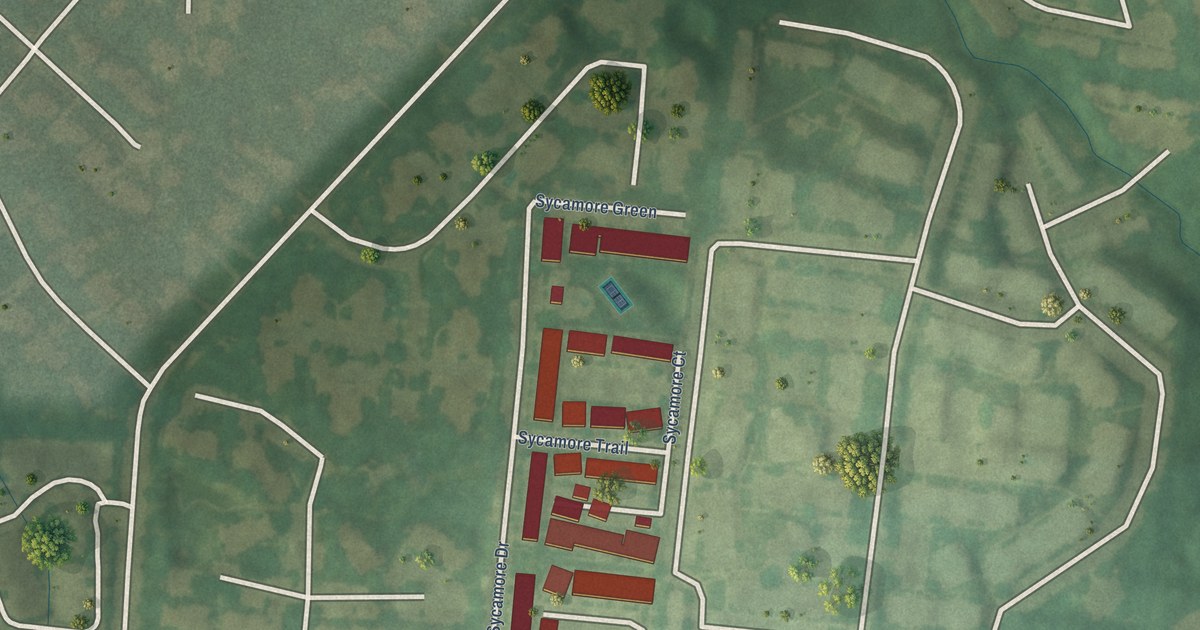
A detailed map of Sycamore, Kentucky, showing every building in its true location, the roads by name, and shaded topographical relief.
Read More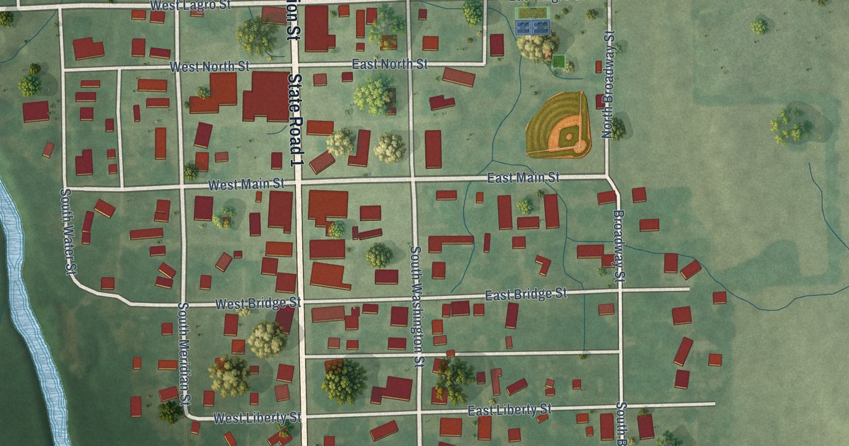
A detailed map of Pennville, Indiana, showing every building in its true location, the roads by name, and shaded topographical relief.
Read More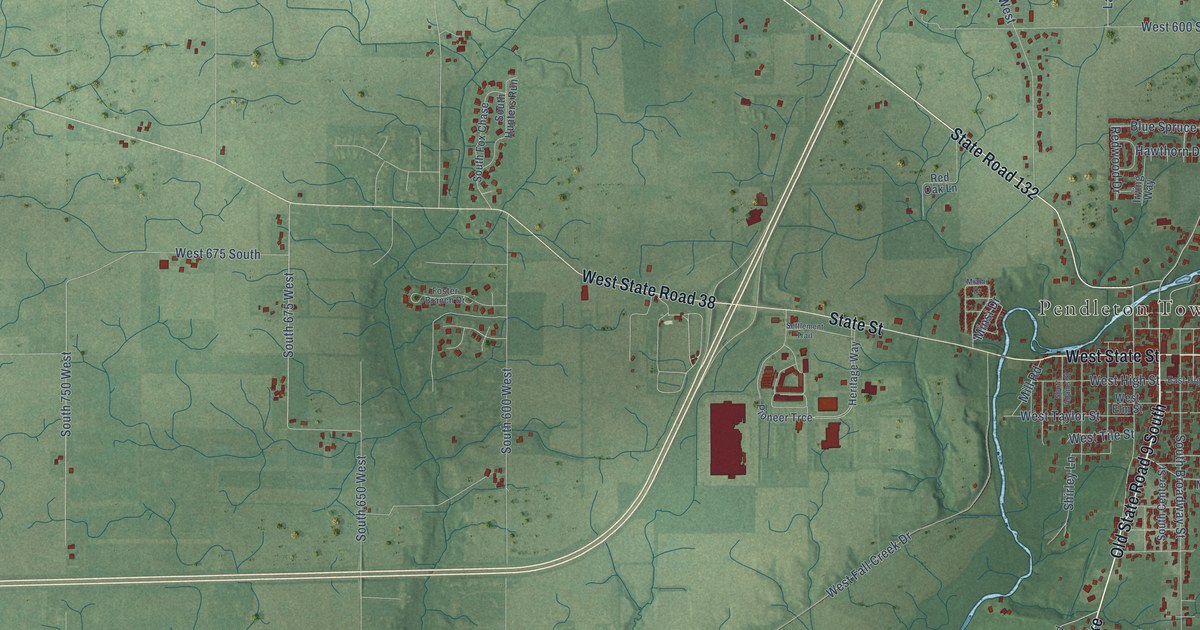
A detailed map of Pendleton, Indiana, showing every building in its true location, the roads by name, and shaded topographical relief.
Read More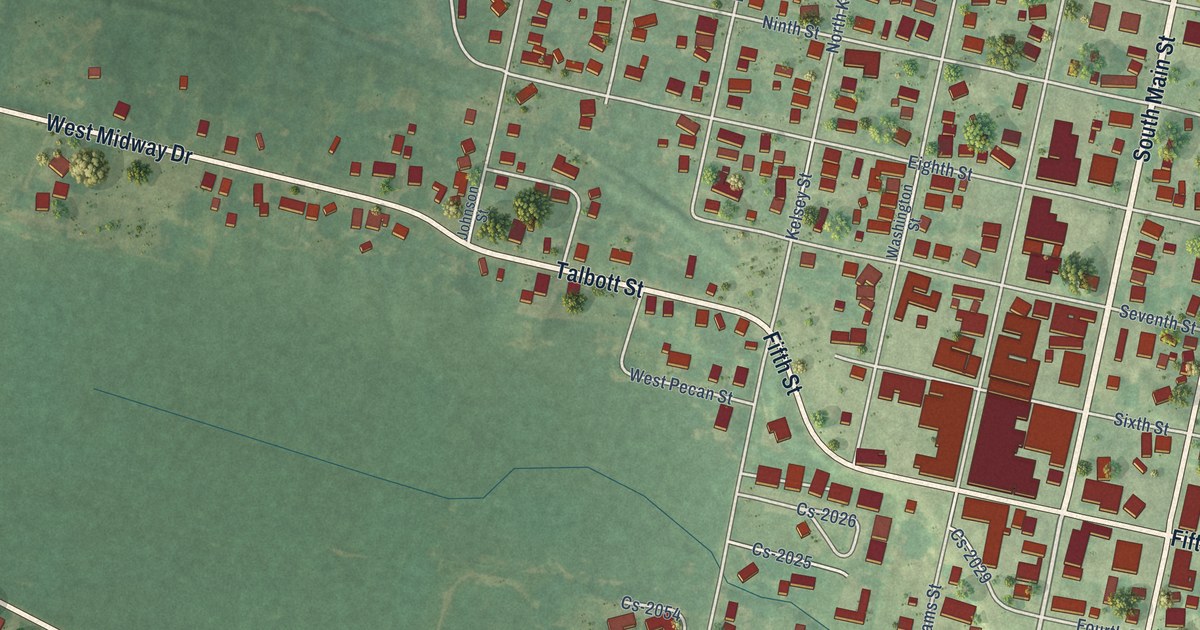
A detailed map of Sturgis, Kentucky, showing every building in its true location, the roads by name, and shaded topographical relief.
Read More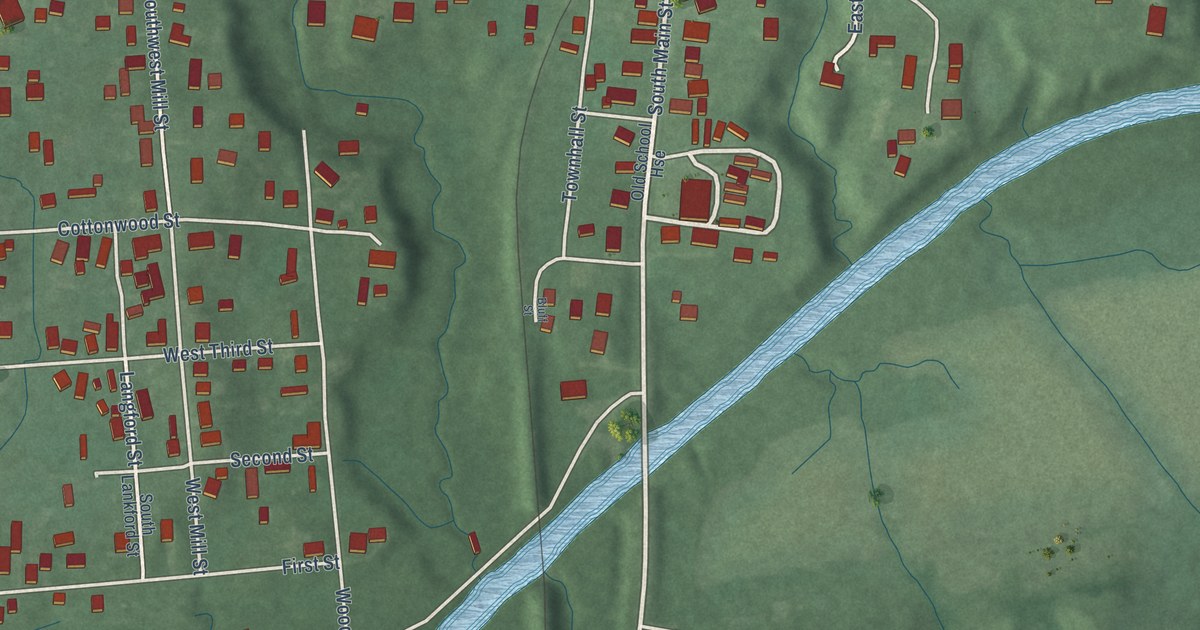
A detailed map of Patoka, Indiana, showing every building in its true location, the roads by name, and shaded topographical relief.
Read More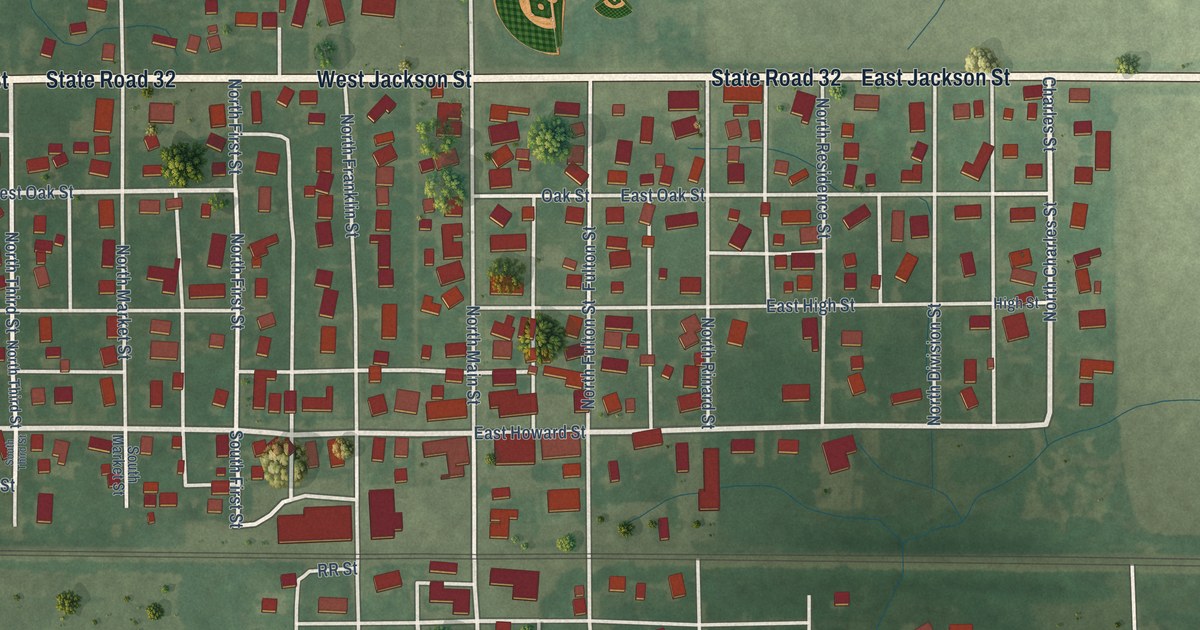
A detailed map of Parker City, Indiana, showing every building in its true location, the roads by name, and shaded topographical relief.
Read More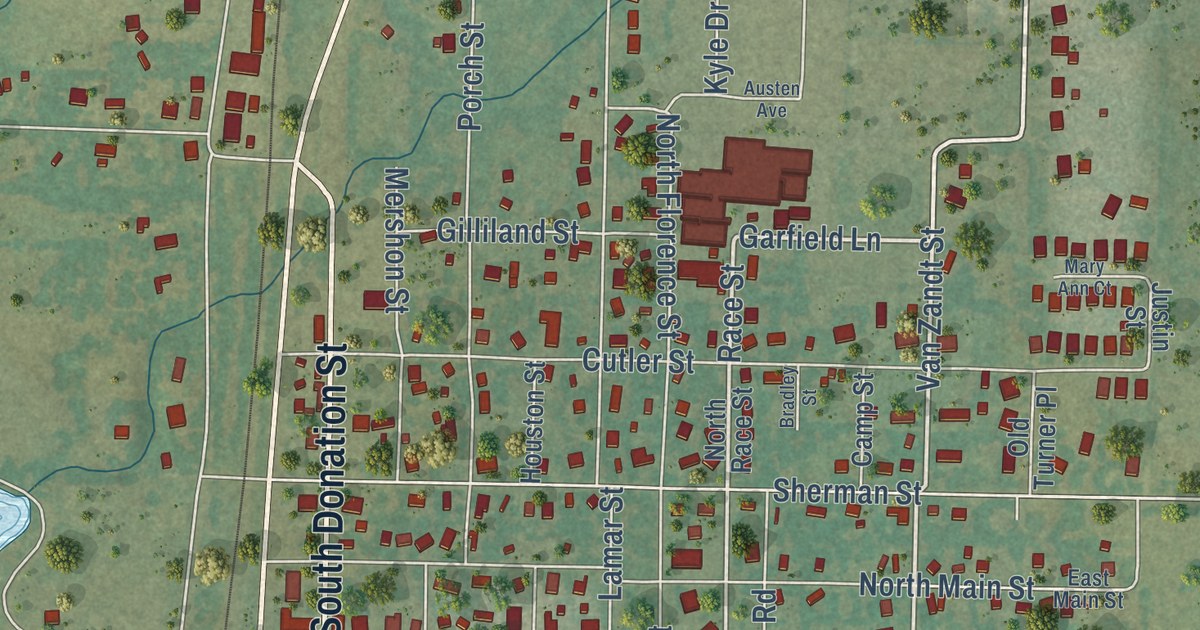
A detailed map of Tioga, Texas, showing every building in its true location, the roads by name, and shaded topographical relief.
Read More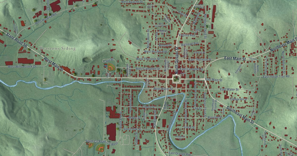
A detailed map of Paoli, Indiana, showing every building in its true location, the roads by name, and shaded topographical relief.
Read More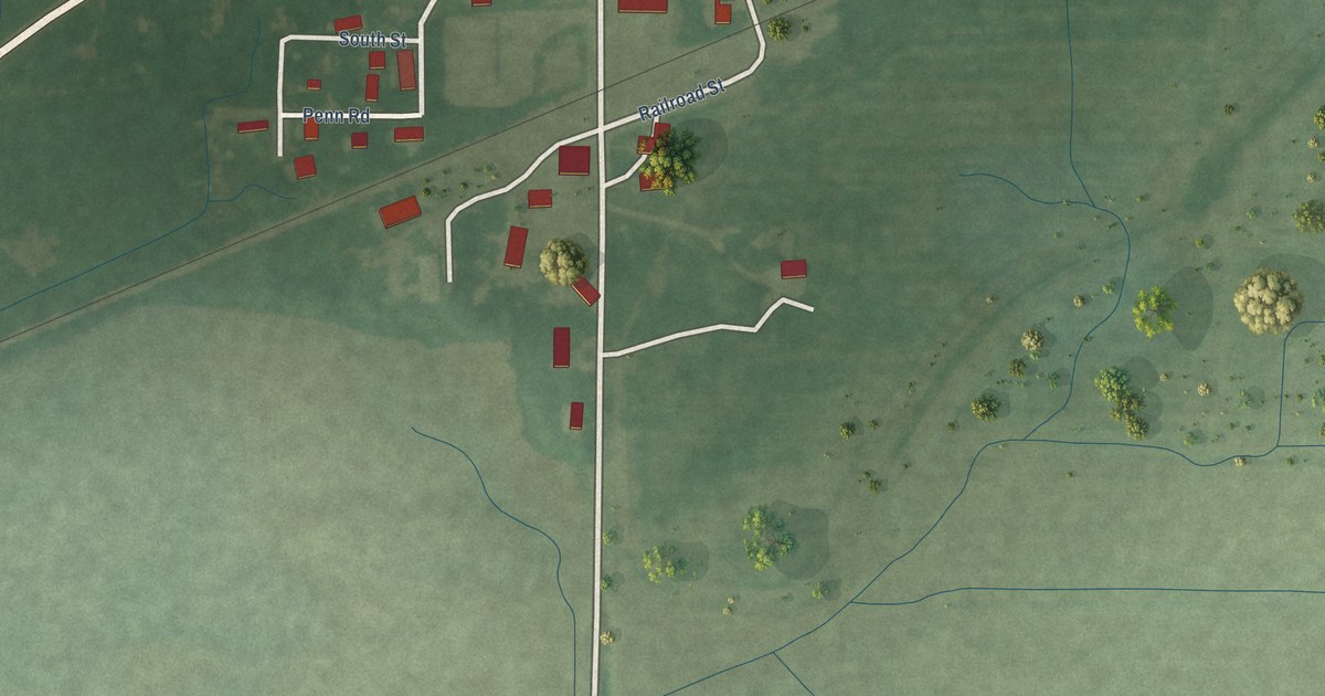
A detailed map of Paragon, Indiana, showing every building in its true location, the roads by name, and shaded topographical relief.
Read More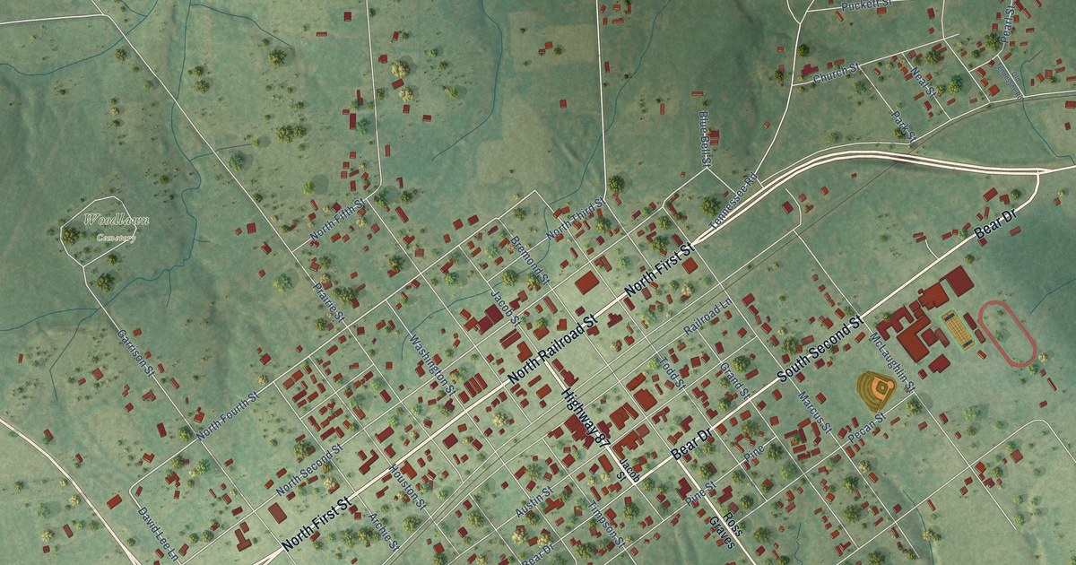
A detailed map of Timpson, Texas, showing every building in its true location, the roads by name, and shaded topographical relief.
Read More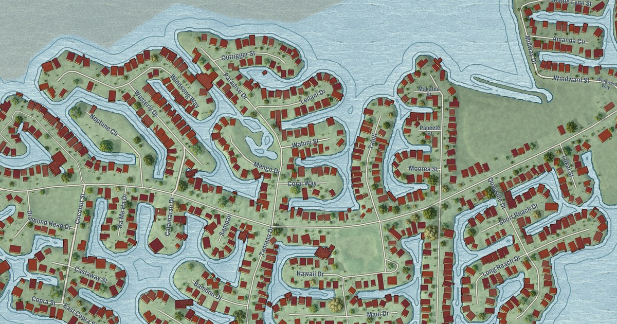
A detailed map of Tiki Island, Texas, showing every building in its true location, the roads by name, and shaded topographical relief.
Read More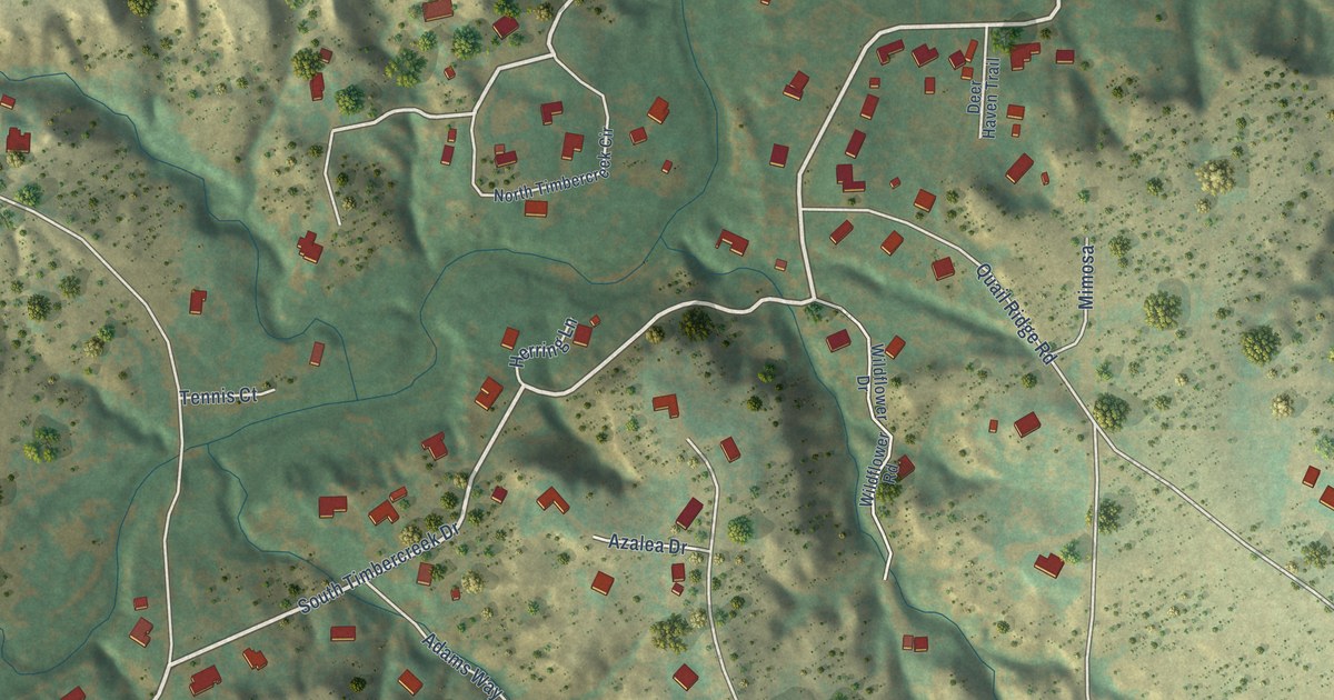
A detailed map of Timbercreek Canyon, Texas, showing every building in its true location, the roads by name, and shaded topographical relief.
Read More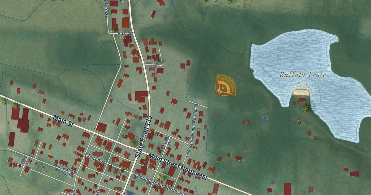
A detailed map of Palmyra, Indiana, showing every building in its true location, the roads by name, and shaded topographical relief.
Read More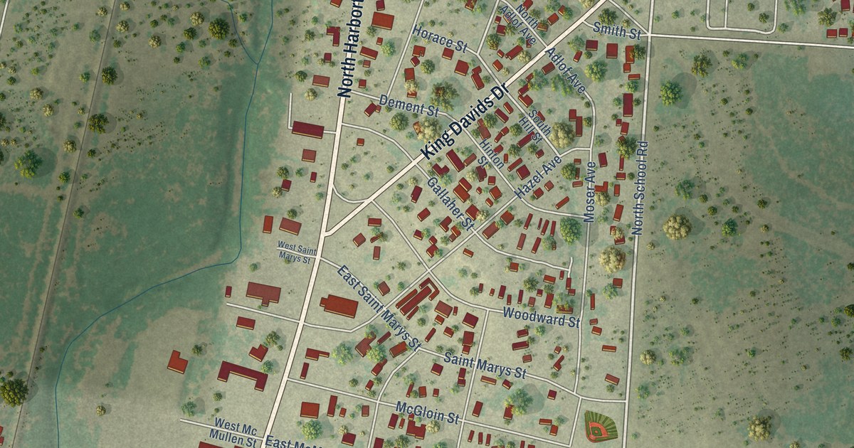
A detailed map of Three Rivers, Texas, showing every building in its true location, the roads by name, and shaded topographical relief.
Read More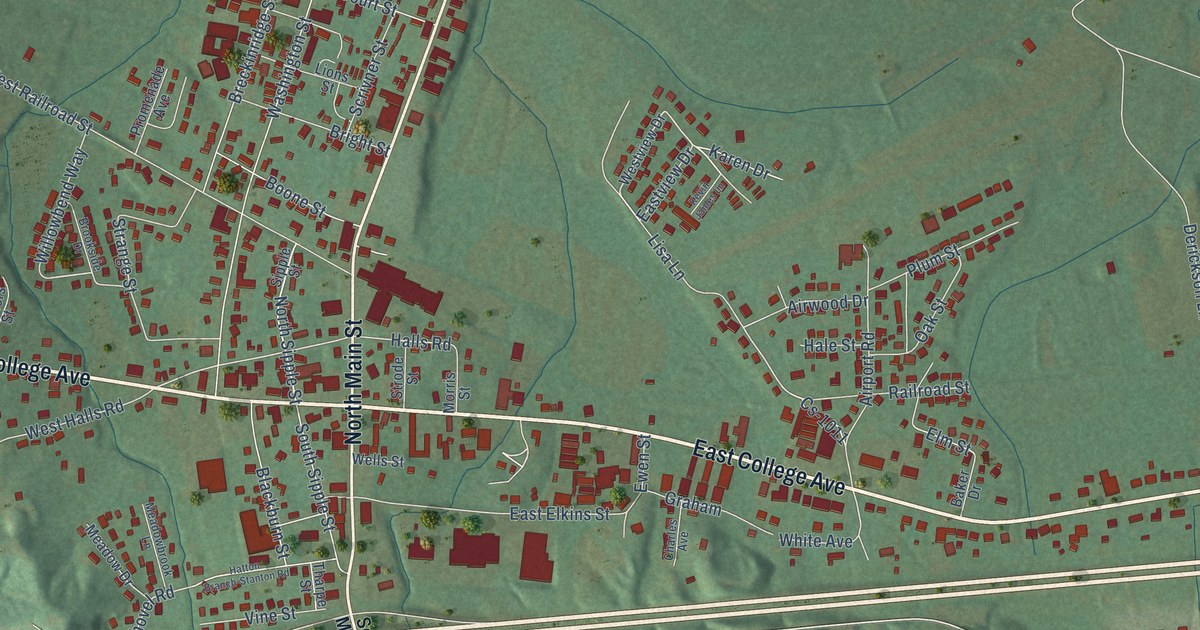
A detailed map of Stanton, Kentucky, showing every building in its true location, the roads by name, and shaded topographical relief.
Read More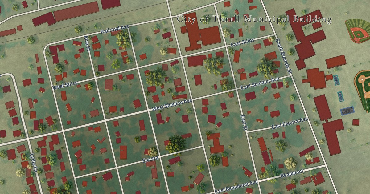
A detailed map of Thrall, Texas, showing every building in its true location, the roads by name, and shaded topographical relief.
Read More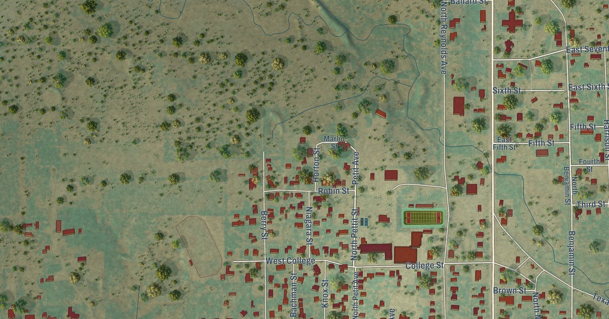
A detailed map of Throckmorton, Texas, showing every building in its true location, the roads by name, and shaded topographical relief.
Read More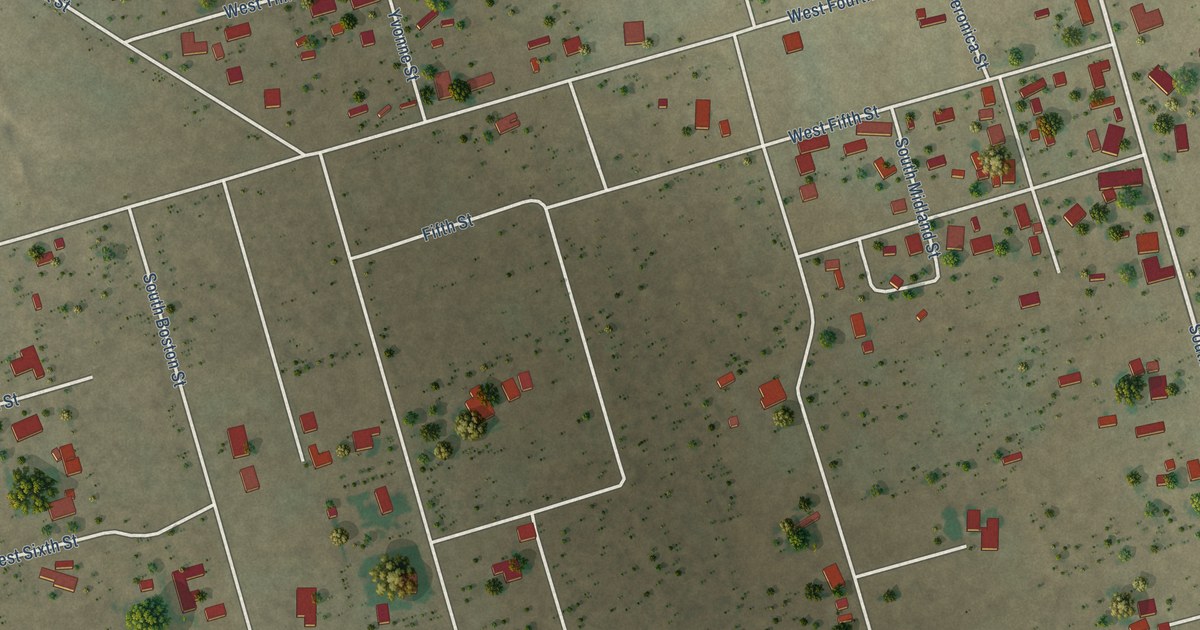
A detailed map of Thorntonville, Texas, showing every building in its true location, the roads by name, and shaded topographical relief.
Read More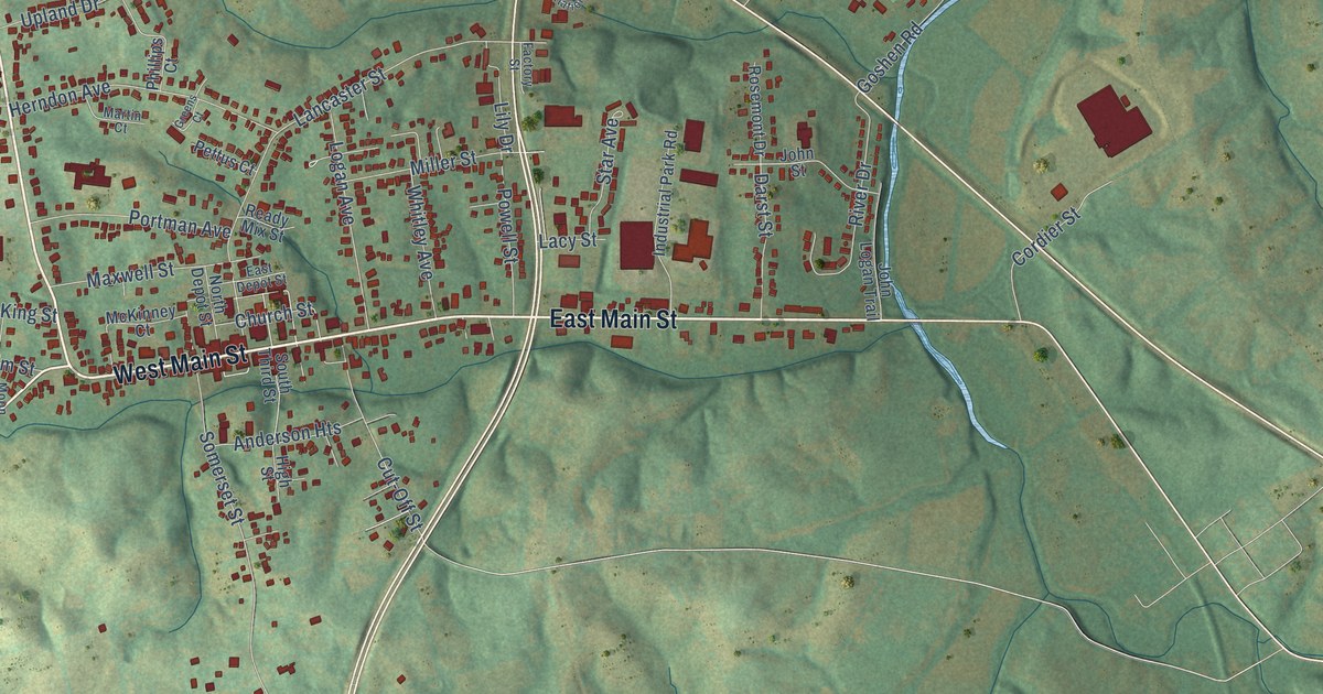
A detailed map of Stanford, Kentucky, showing every building in its true location, the roads by name, and shaded topographical relief.
Read More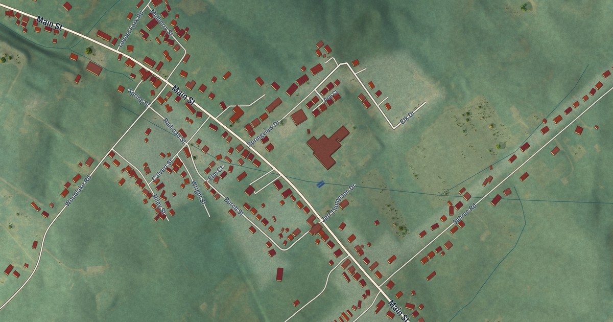
A detailed map of Stamping Ground, Kentucky, showing every building in its true location, the roads by name, and shaded topographical relief.
Read More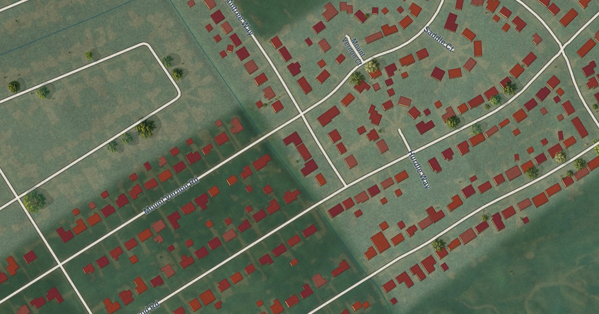
A detailed map of St. Regis Park, Kentucky, showing every building in its true location, the roads by name, and shaded topographical relief.
Read More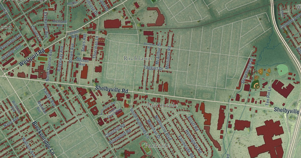
A detailed map of St. Matthews, Kentucky, showing every building in its true location, the roads by name, and shaded topographical relief.
Read More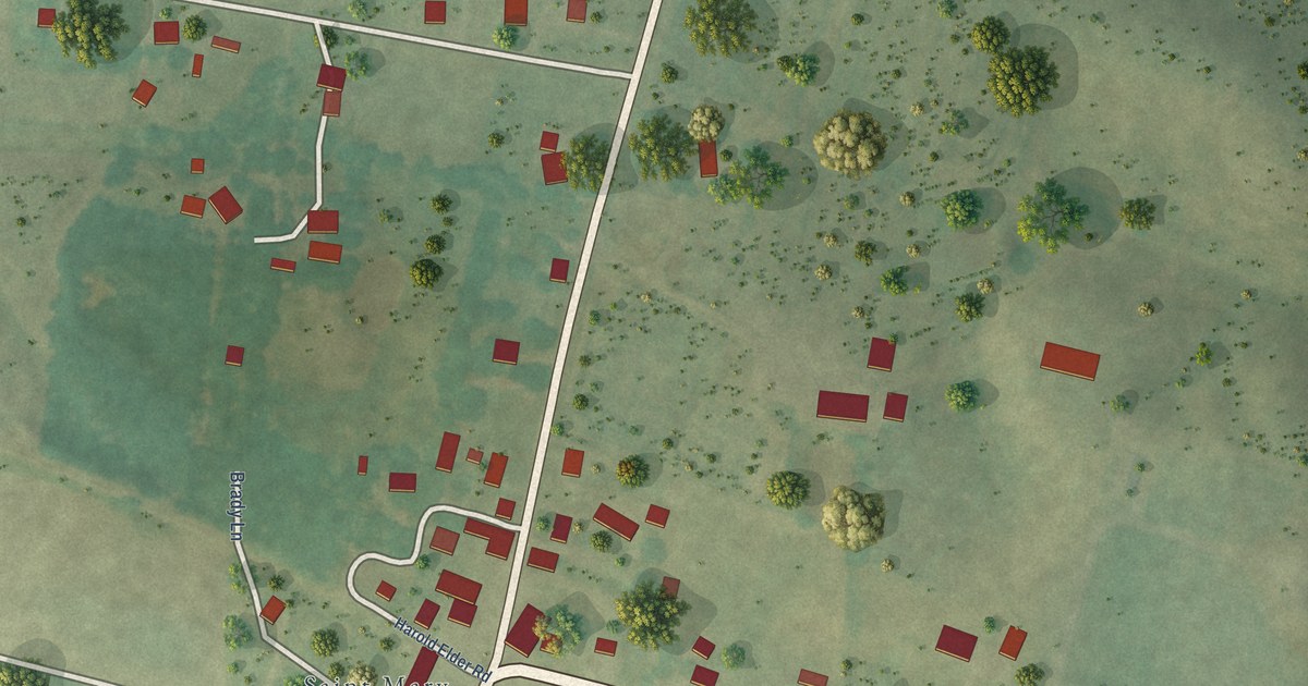
A detailed map of St. Mary, Kentucky, showing every building in its true location, the roads by name, and shaded topographical relief.
Read More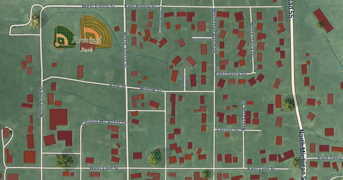
A detailed map of Oxford, Indiana, showing every building in its true location, the roads by name, and shaded topographical relief.
Read More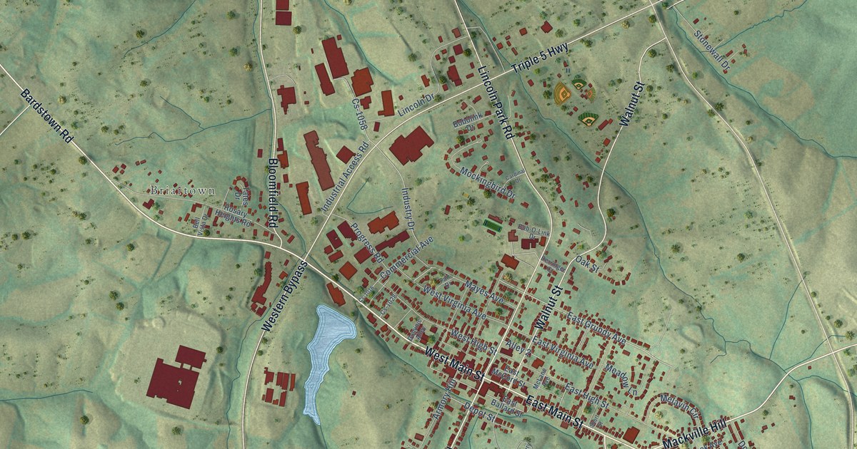
A detailed map of Springfield, Kentucky, showing every building in its true location, the roads by name, and shaded topographical relief.
Read More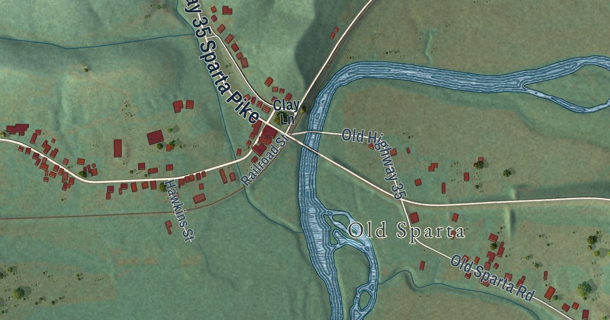
A detailed map of Sparta, Kentucky, showing every building in its true location, the roads by name, and shaded topographical relief.
Read More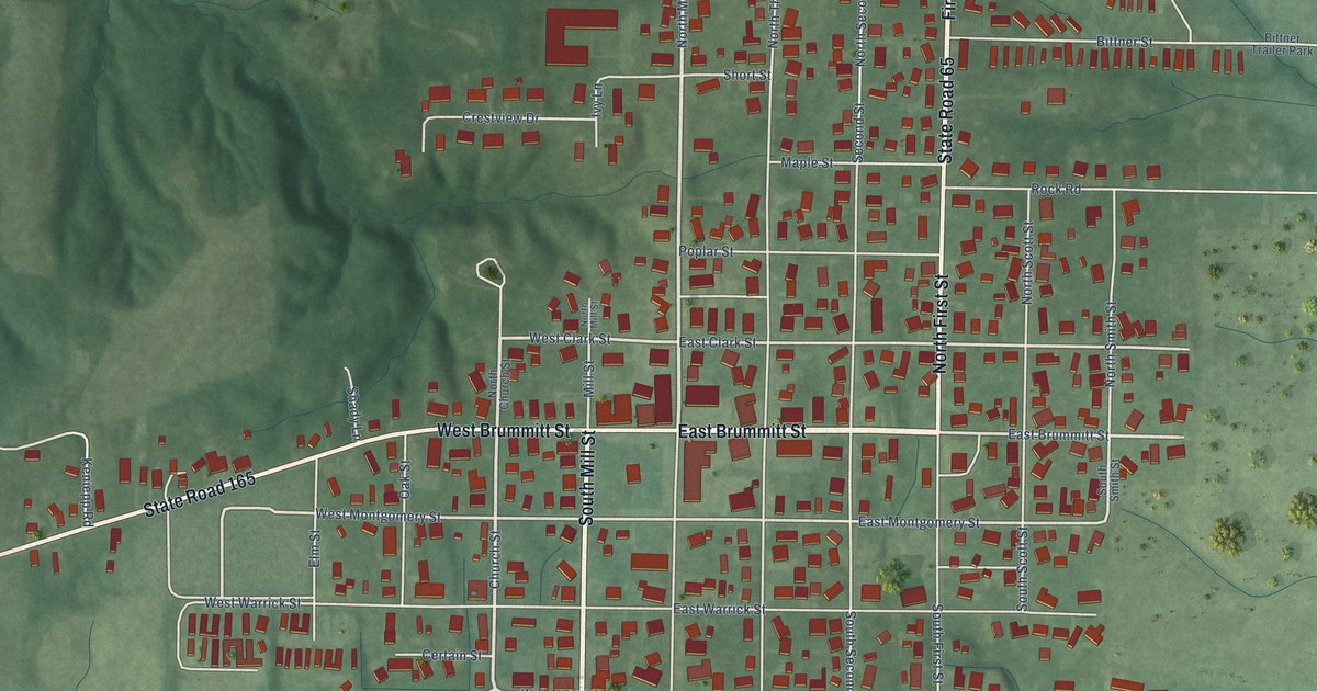
A detailed map of Owensville, Indiana, showing every building in its true location, the roads by name, and shaded topographical relief.
Read More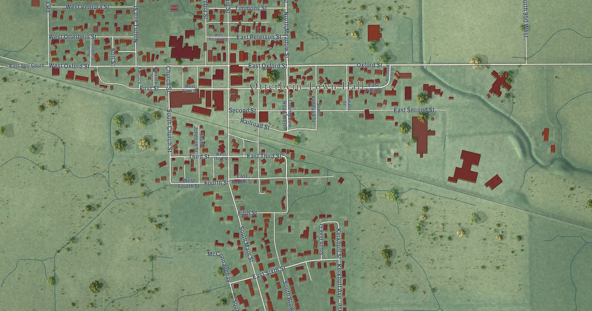
A detailed map of Otterbein, Indiana, showing every building in its true location, the roads by name, and shaded topographical relief.
Read More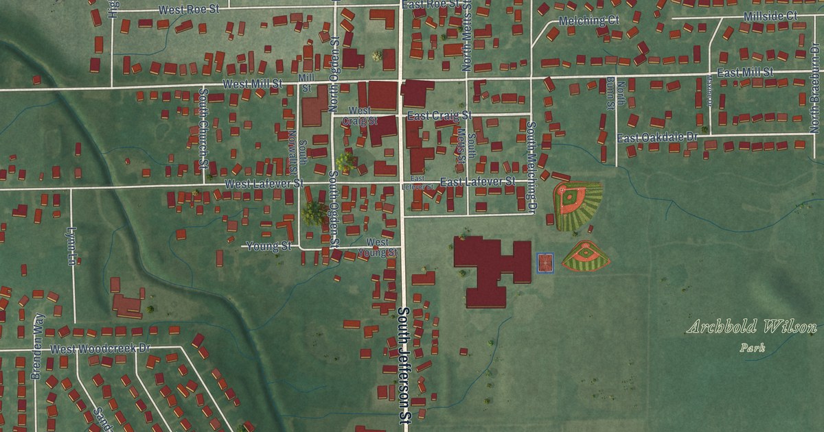
A detailed map of Ossian, Indiana, showing every building in its true location, the roads by name, and shaded topographical relief.
Read More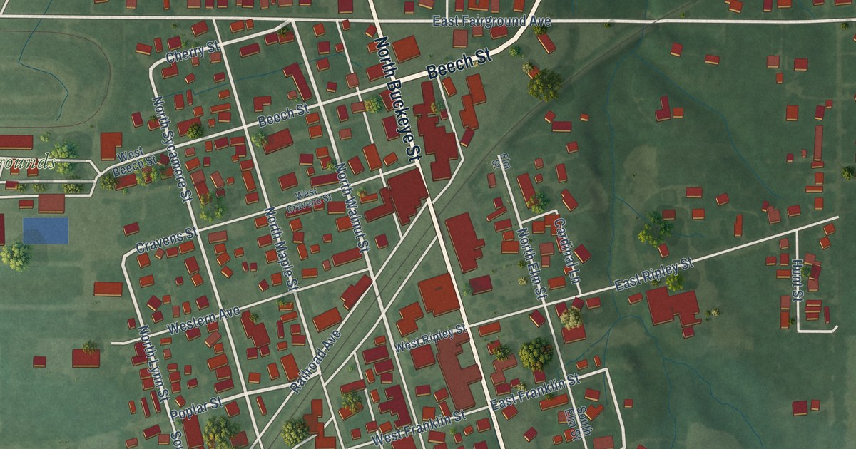
A detailed map of Osgood, Indiana, showing every building in its true location, the roads by name, and shaded topographical relief.
Read More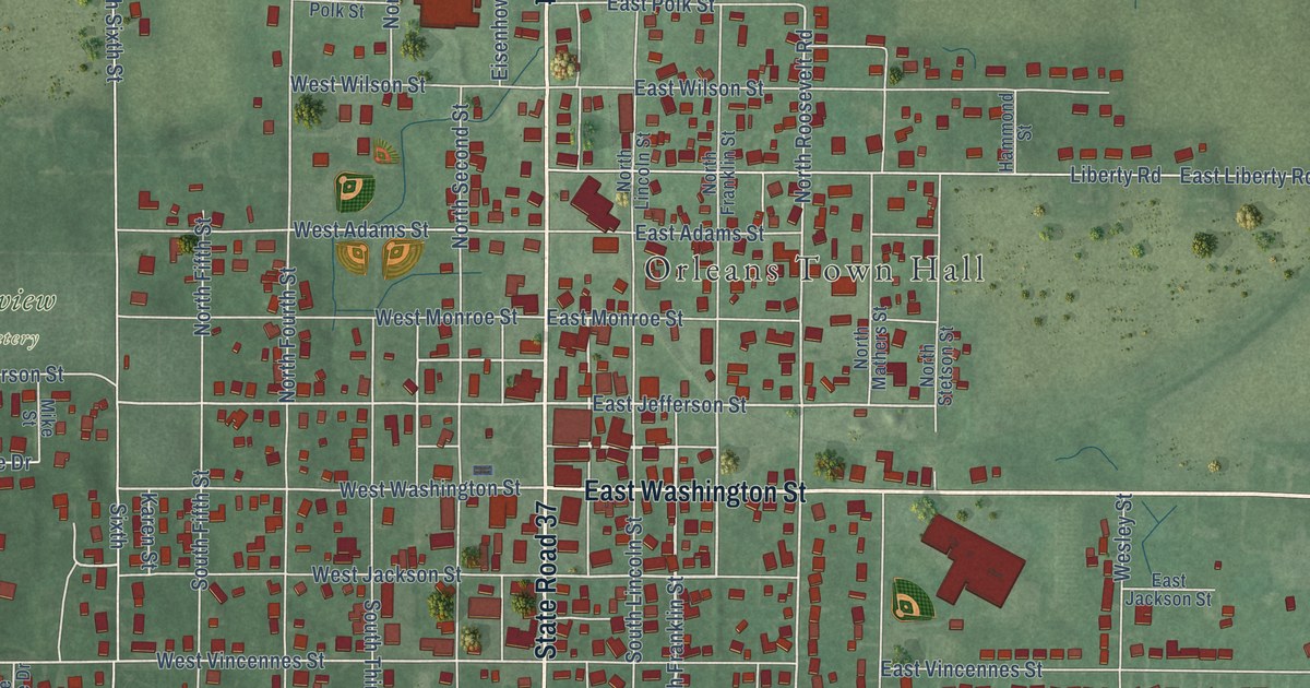
A detailed map of Orleans, Indiana, showing every building in its true location, the roads by name, and shaded topographical relief.
Read More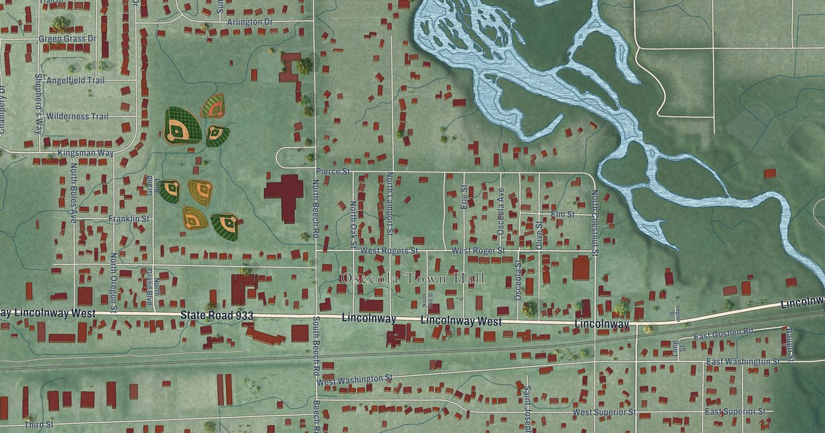
A detailed map of Osceola, Indiana, showing every building in its true location, the roads by name, and shaded topographical relief.
Read More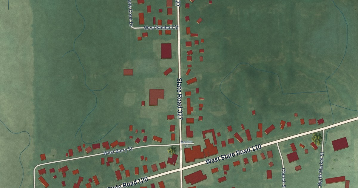
A detailed map of Orland, Indiana, showing every building in its true location, the roads by name, and shaded topographical relief.
Read More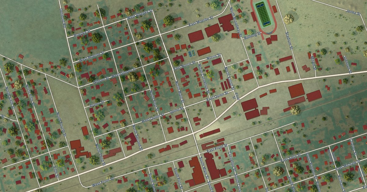
A detailed map of Thorndale, Texas, showing every building in its true location, the roads by name, and shaded topographical relief.
Read More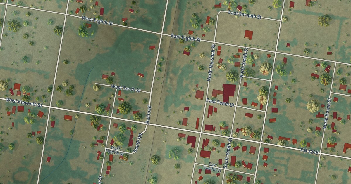
A detailed map of Thornton, Texas, showing every building in its true location, the roads by name, and shaded topographical relief.
Read More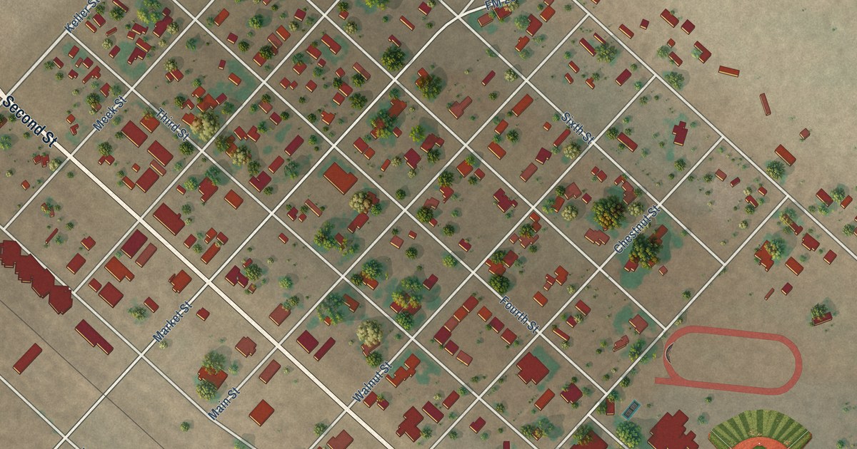
A detailed map of Texline, Texas, showing every building in its true location, the roads by name, and shaded topographical relief.
Read More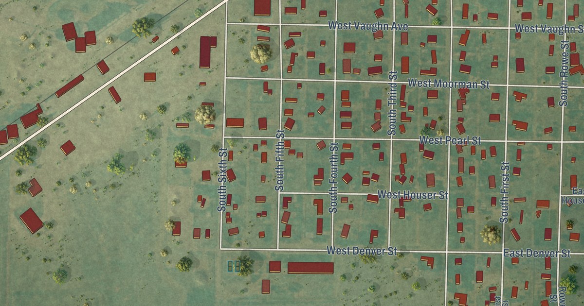
A detailed map of Texhoma, Texas, showing every building in its true location, the roads by name, and shaded topographical relief.
Read More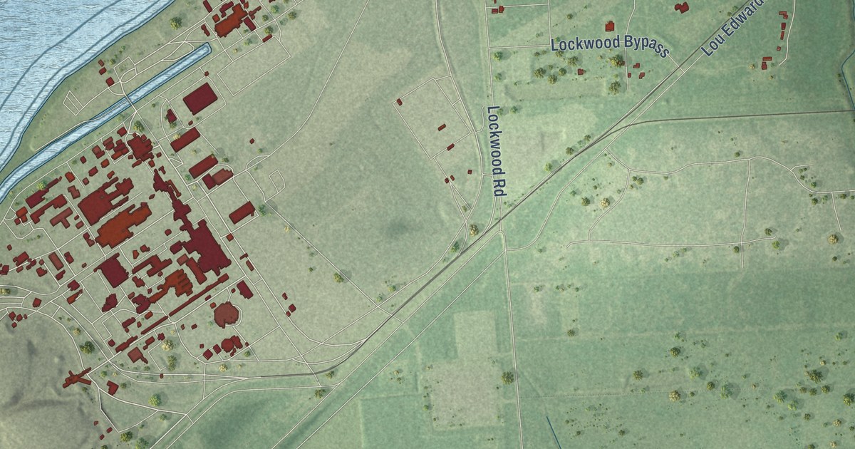
A detailed map of Thompsons, Texas, showing every building in its true location, the roads by name, and shaded topographical relief.
Read More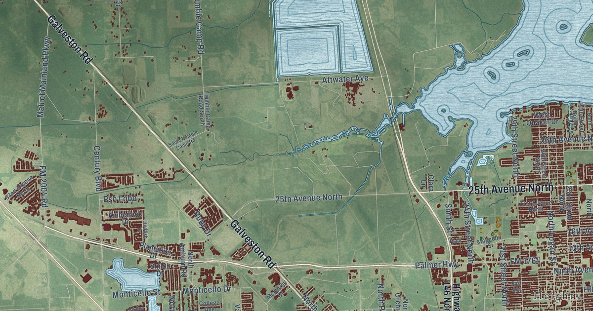
A detailed map of Texas City, Texas, showing every building in its true location, the roads by name, and shaded topographical relief.
Read More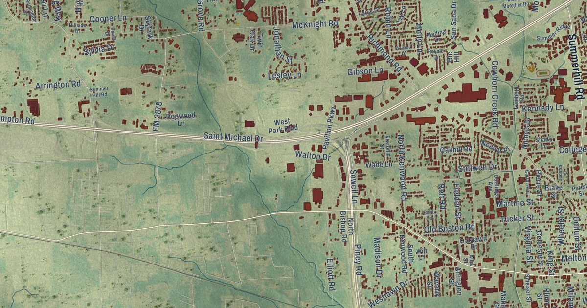
A detailed map of Texarkana, Texas, showing every building in its true location, the roads by name, and shaded topographical relief.
Read More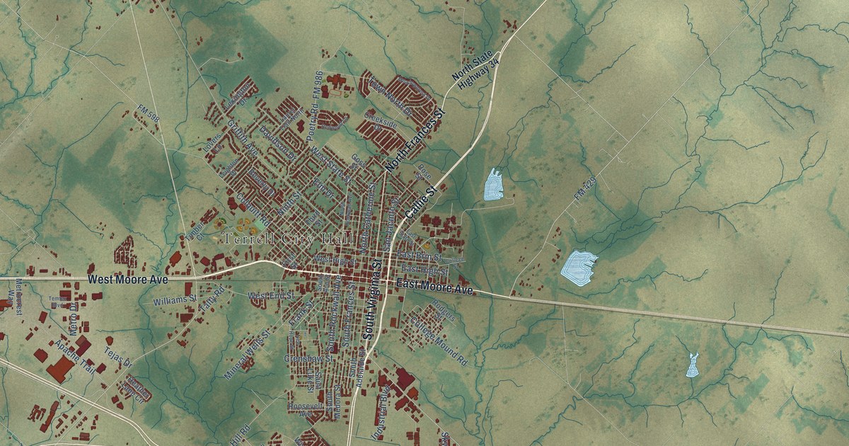
A detailed map of Terrell, Texas, showing every building in its true location, the roads by name, and shaded topographical relief.
Read More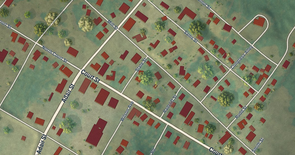
A detailed map of Smithland, Kentucky, showing every building in its true location, the roads by name, and shaded topographical relief.
Read More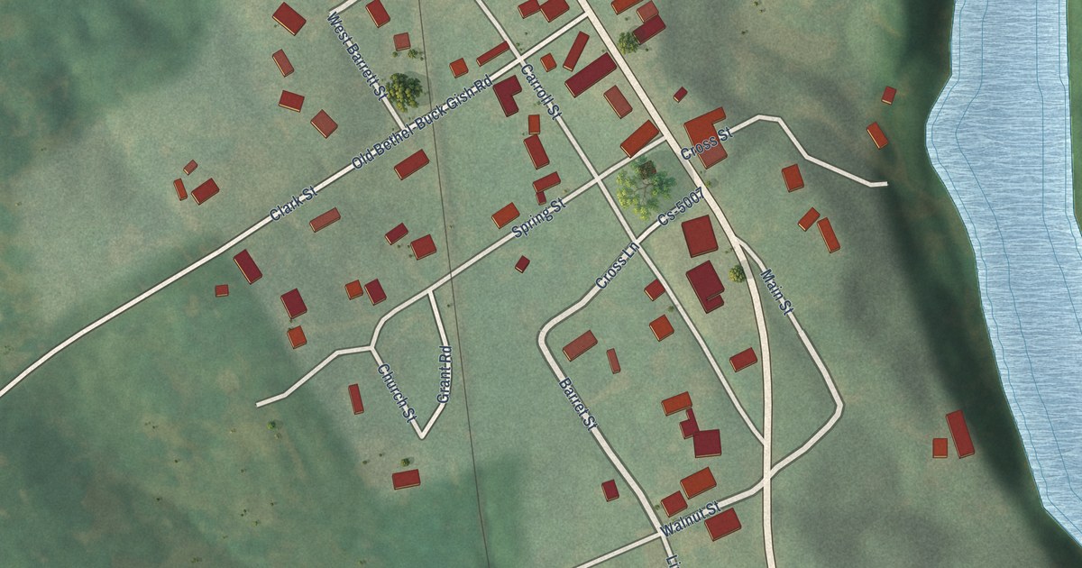
A detailed map of South Carrollton, Kentucky, showing every building in its true location, the roads by name, and shaded topographical relief.
Read More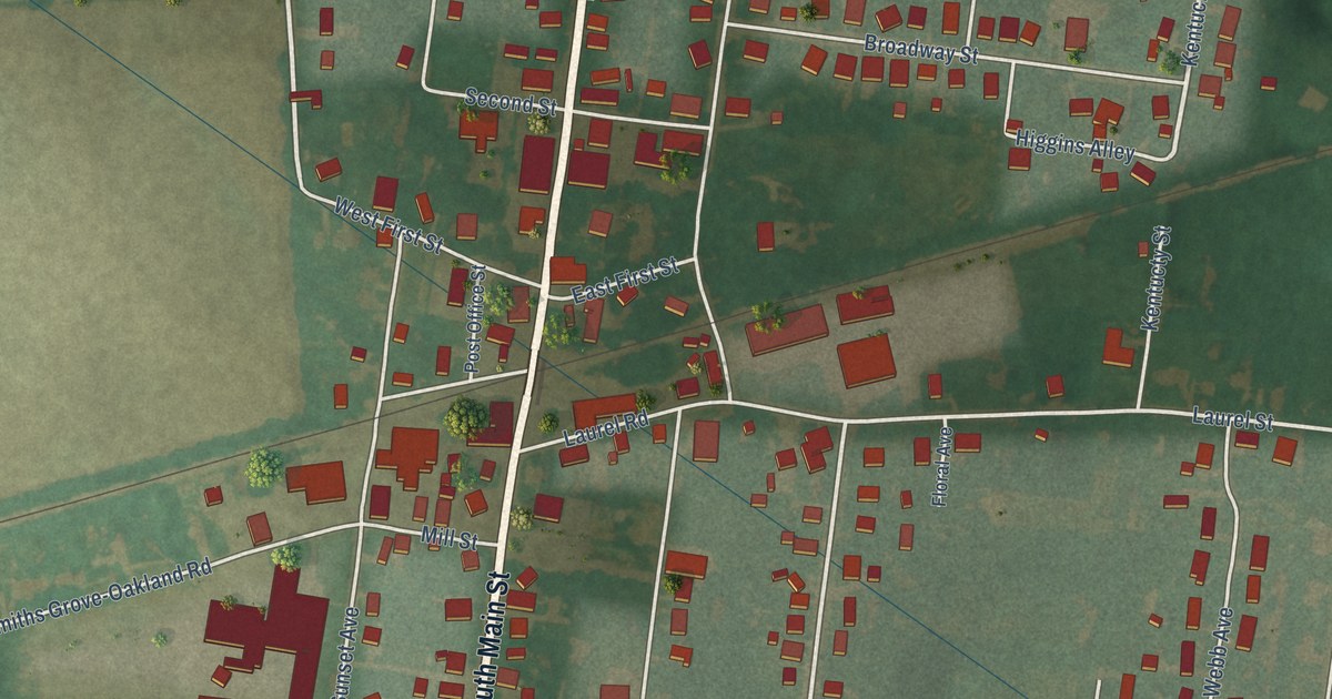
A detailed map of Smiths Grove, Kentucky, showing every building in its true location, the roads by name, and shaded topographical relief.
Read More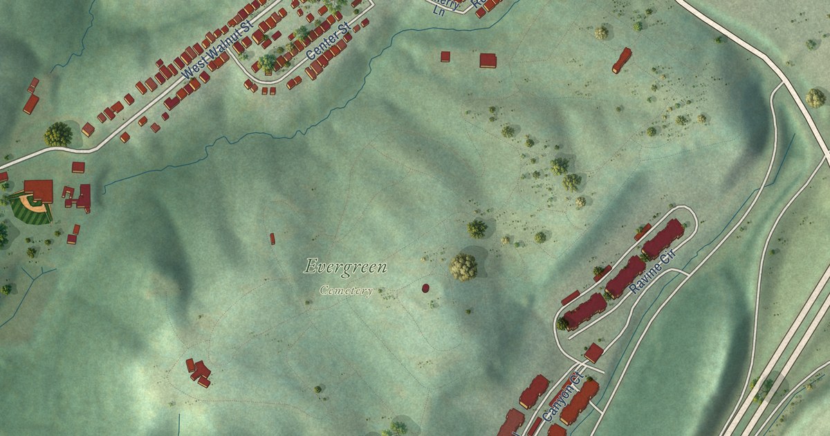
A detailed map of Southgate, Kentucky, showing every building in its true location, the roads by name, and shaded topographical relief.
Read More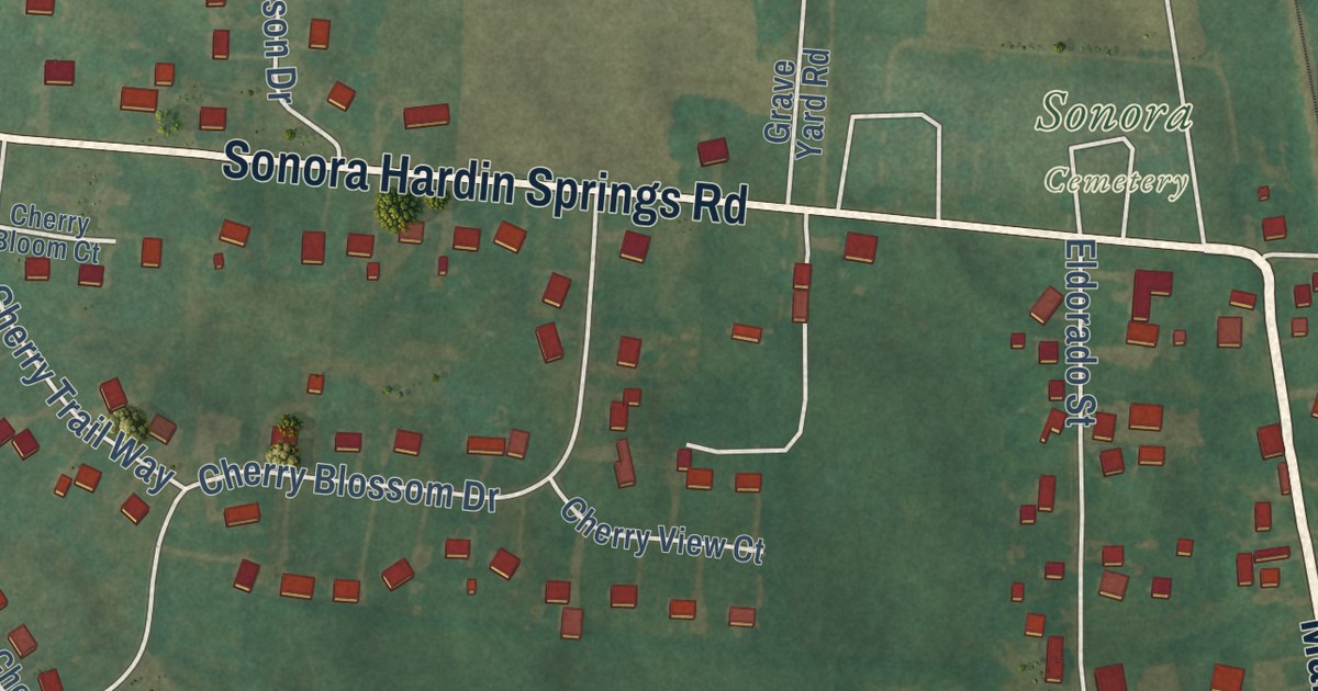
A detailed map of Sonora, Kentucky, showing every building in its true location, the roads by name, and shaded topographical relief.
Read More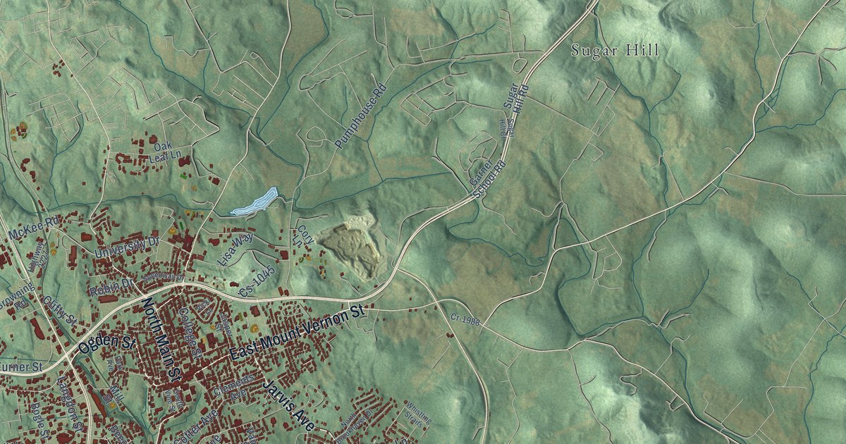
A detailed map of Somerset, Kentucky, showing every building in its true location, the roads by name, and shaded topographical relief.
Read More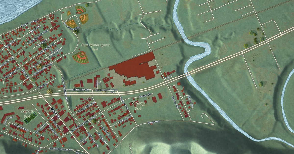
A detailed map of South Shore, Kentucky, showing every building in its true location, the roads by name, and shaded topographical relief.
Read More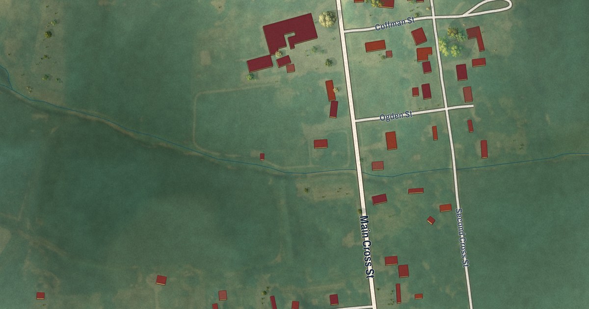
A detailed map of Slaughters, Kentucky, showing every building in its true location, the roads by name, and shaded topographical relief.
Read More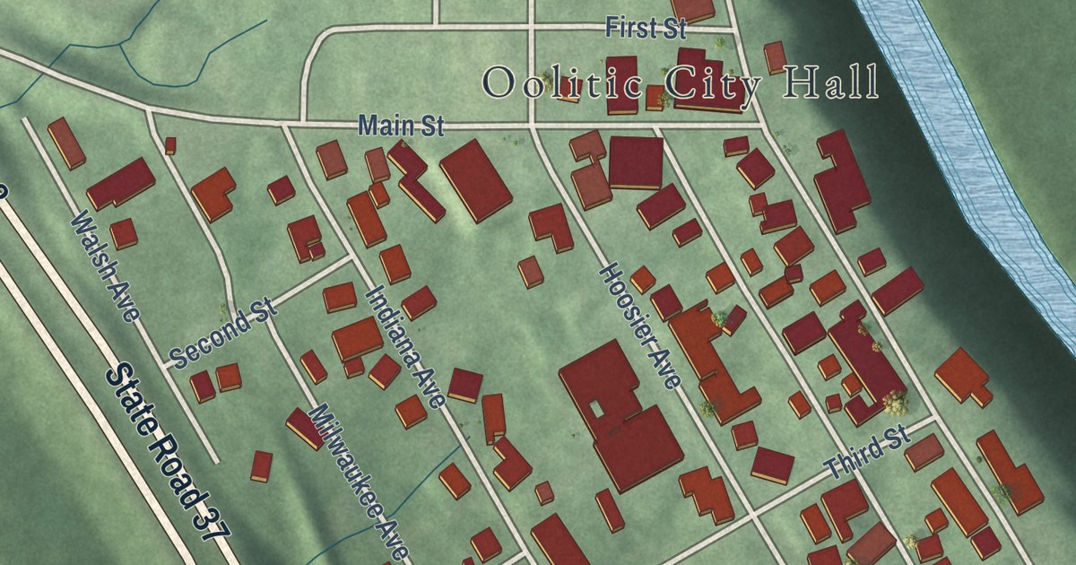
A detailed map of Oolitic, Indiana, showing every building in its true location, the roads by name, and shaded topographical relief.
Read More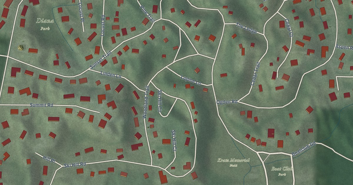
A detailed map of Ogden Dunes, Indiana, showing every building in its true location, the roads by name, and shaded topographical relief.
Read More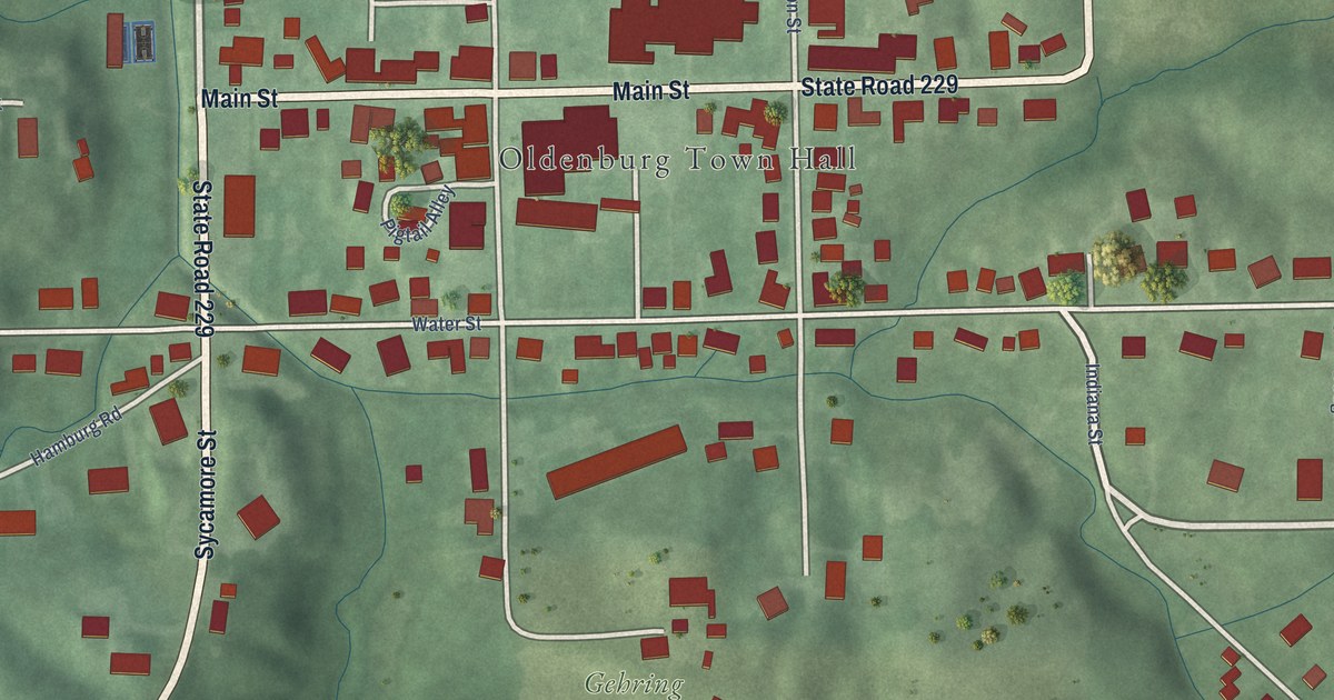
A detailed map of Oldenburg, Indiana, showing every building in its true location, the roads by name, and shaded topographical relief.
Read More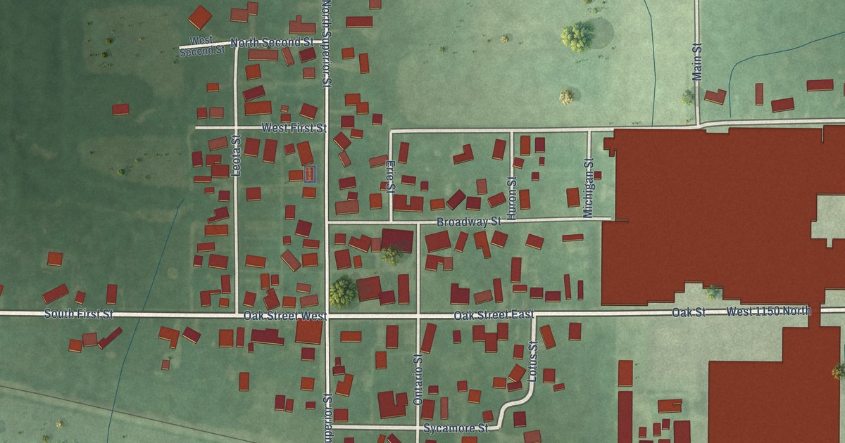
A detailed map of Orestes, Indiana, showing every building in its true location, the roads by name, and shaded topographical relief.
Read More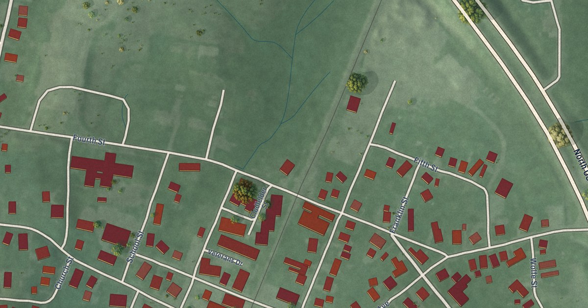
A detailed map of Oaktown, Indiana, showing every building in its true location, the roads by name, and shaded topographical relief.
Read More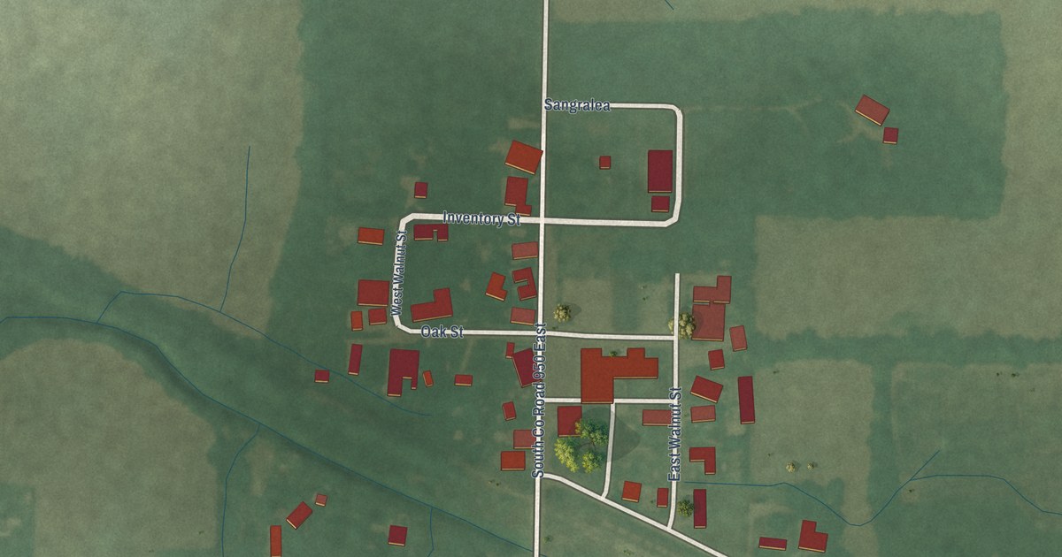
A detailed map of Onward, Indiana, showing every building in its true location, the roads by name, and shaded topographical relief.
Read More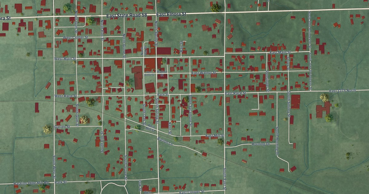
A detailed map of Odon, Indiana, showing every building in its true location, the roads by name, and shaded topographical relief.
Read More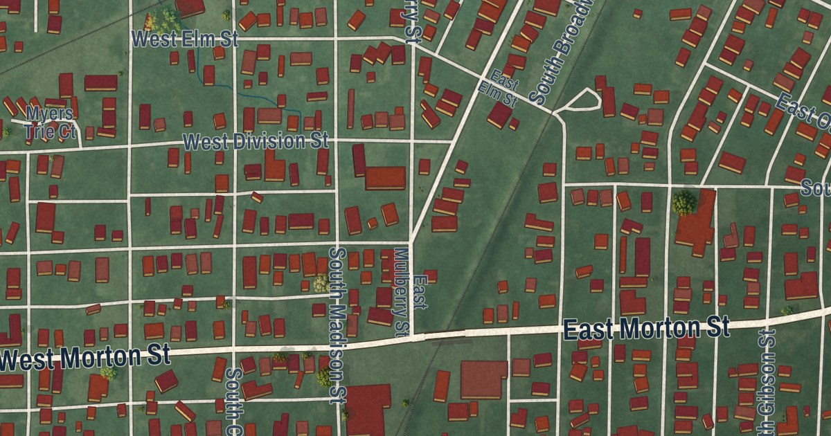
A detailed map of Oakland City, Indiana, showing every building in its true location, the roads by name, and shaded topographical relief.
Read More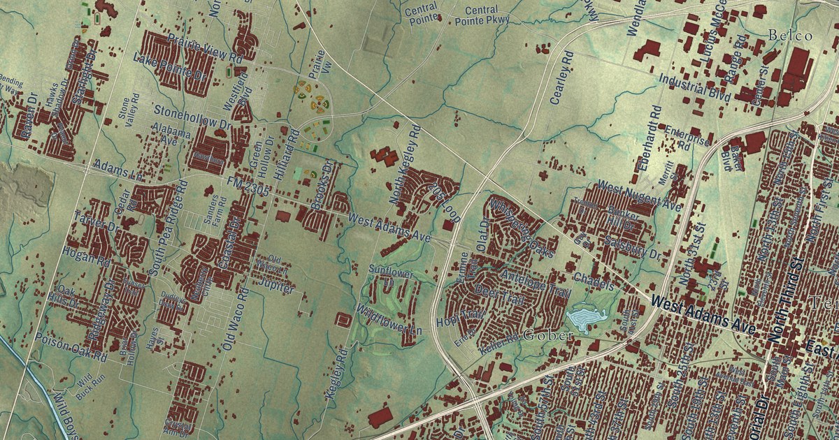
A detailed map of Temple, Texas, showing every building in its true location, the roads by name, and shaded topographical relief.
Read More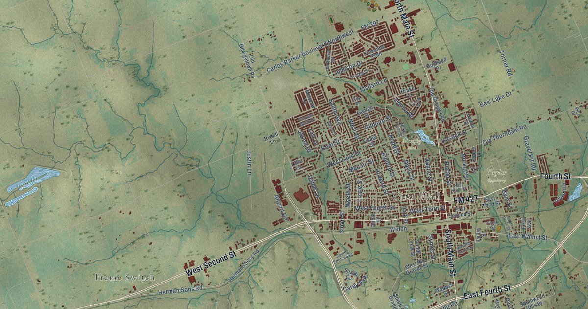
A detailed map of Taylor, Texas, showing every building in its true location, the roads by name, and shaded topographical relief.
Read More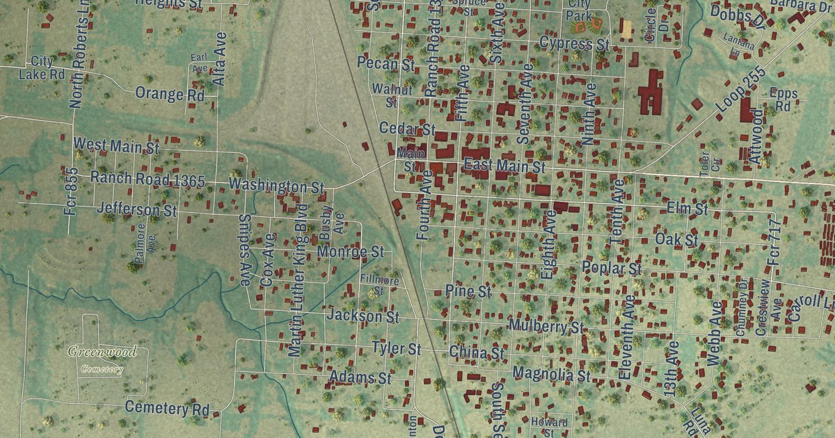
A detailed map of Teague, Texas, showing every building in its true location, the roads by name, and shaded topographical relief.
Read More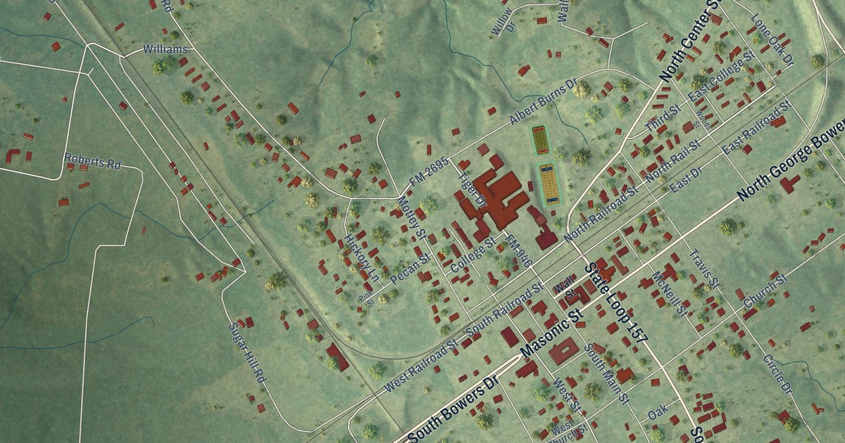
A detailed map of Tenaha, Texas, showing every building in its true location, the roads by name, and shaded topographical relief.
Read More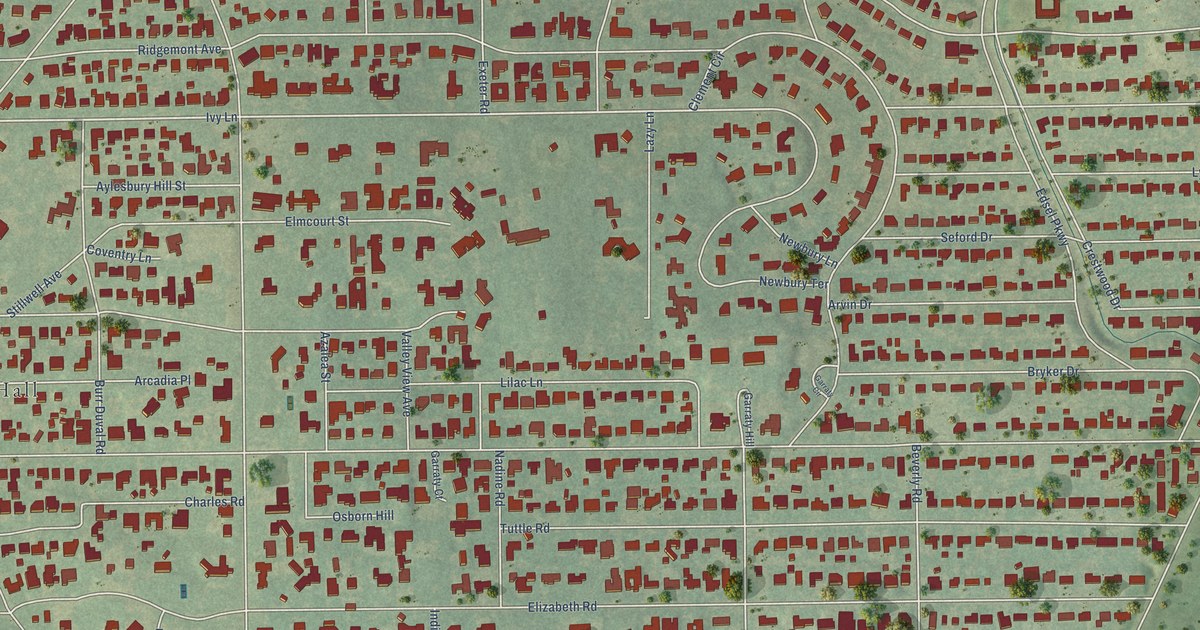
A detailed map of Terrell Hills, Texas, showing every building in its true location, the roads by name, and shaded topographical relief.
Read More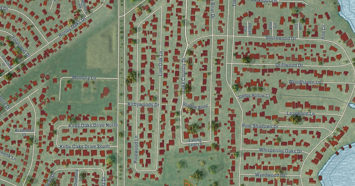
A detailed map of Taylor Lake Village, Texas, showing every building in its true location, the roads by name, and shaded topographical relief.
Read More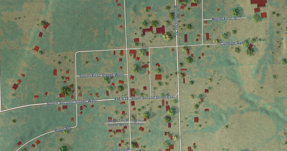
A detailed map of Tehuacana, Texas, showing every building in its true location, the roads by name, and shaded topographical relief.
Read More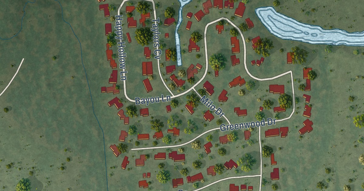
A detailed map of Taylor Landing, Texas, showing every building in its true location, the roads by name, and shaded topographical relief.
Read More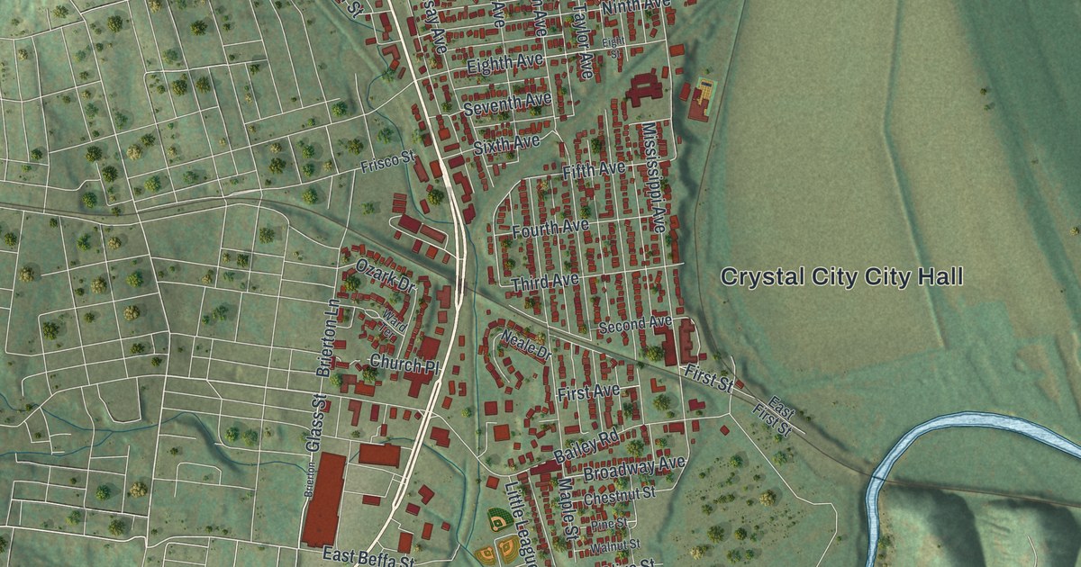
A detailed map of Crystal City, Missouri, showing every building in its true location, the roads by name, and shaded topographical relief.
Read More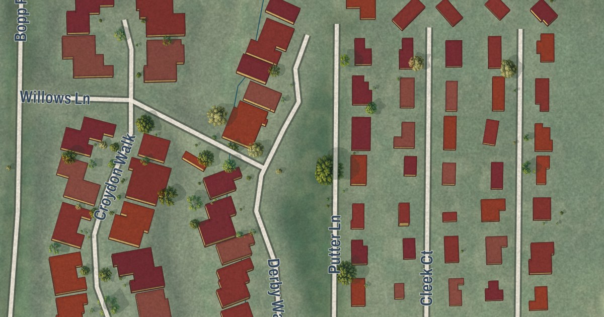
A detailed map of Crystal Lake Park, Missouri, showing every building in its true location, the roads by name, and shaded topographical relief.
Read More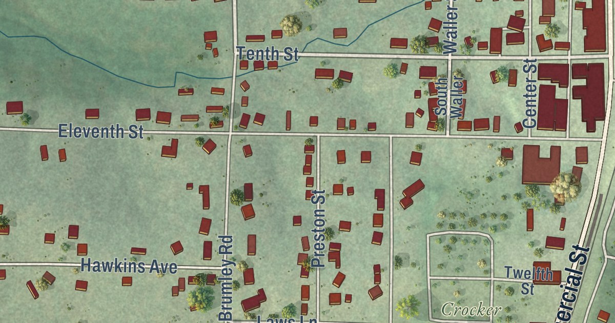
A detailed map of Crocker, Missouri, showing every building in its true location, the roads by name, and shaded topographical relief.
Read More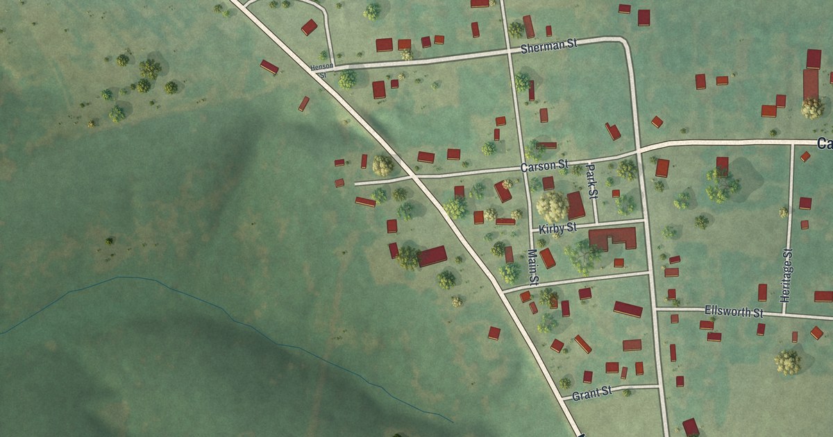
A detailed map of Cross Timbers, Missouri, showing every building in its true location, the roads by name, and shaded topographical relief.
Read More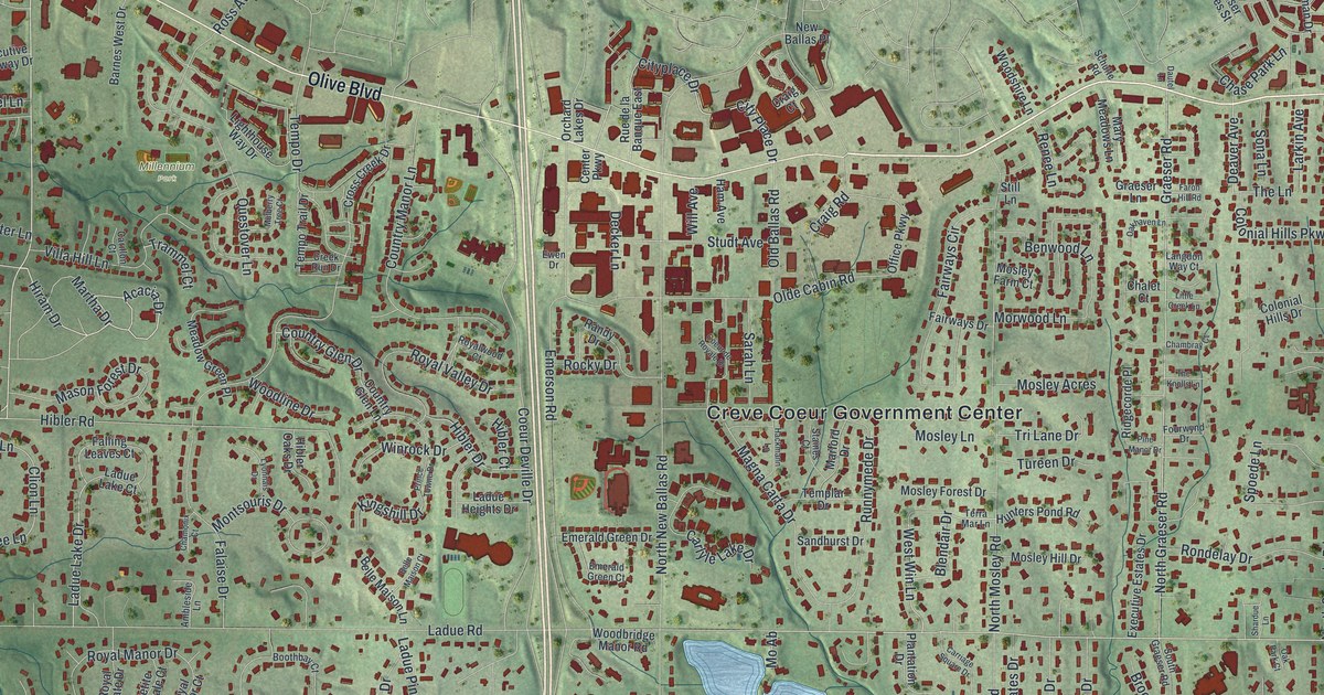
A detailed map of Creve Coeur, Missouri, showing every building in its true location, the roads by name, and shaded topographical relief.
Read More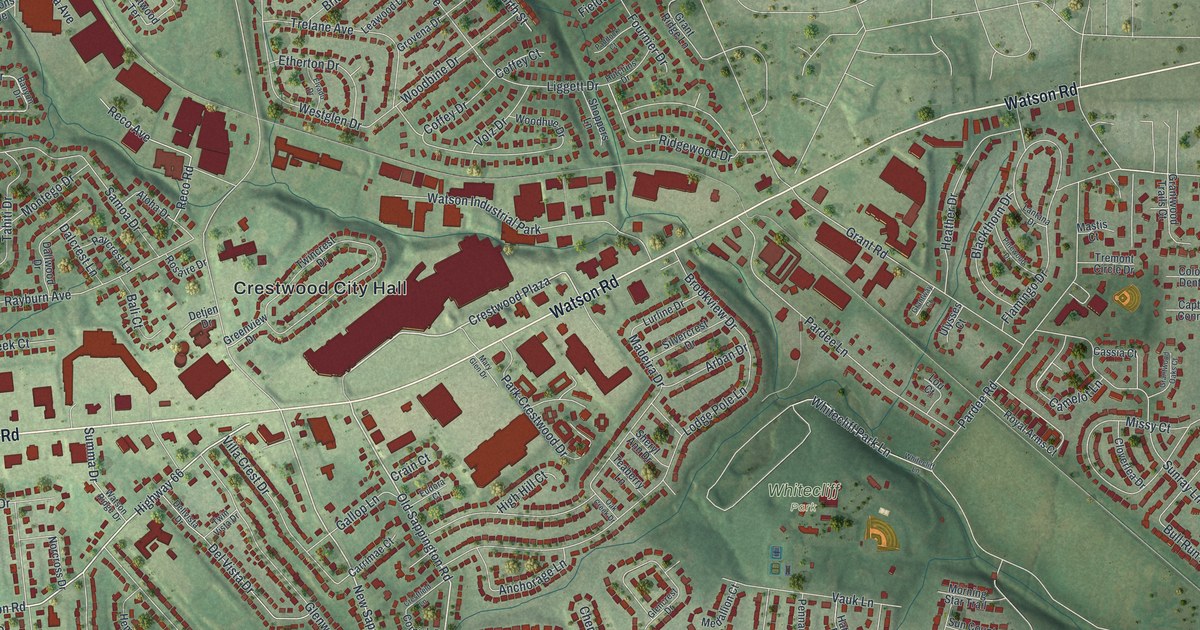
A detailed map of Crestwood, Missouri, showing every building in its true location, the roads by name, and shaded topographical relief.
Read More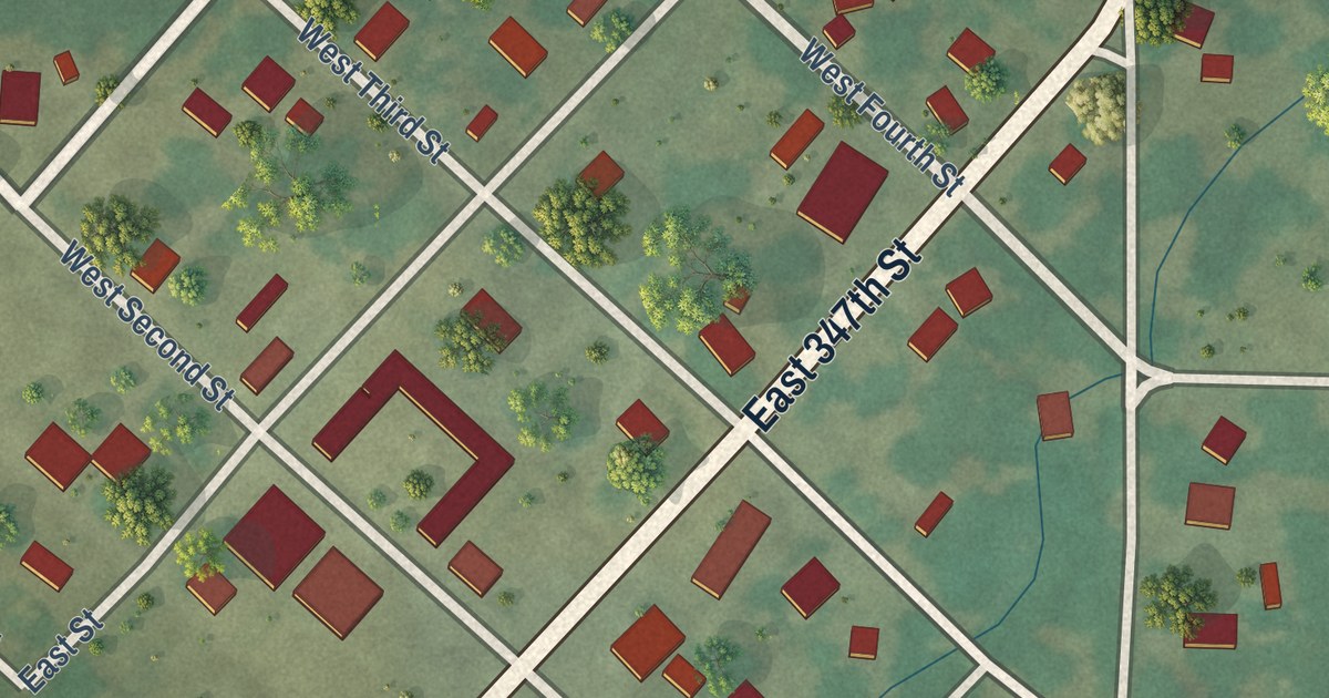
A detailed map of Creighton, Missouri, showing every building in its true location, the roads by name, and shaded topographical relief.
Read More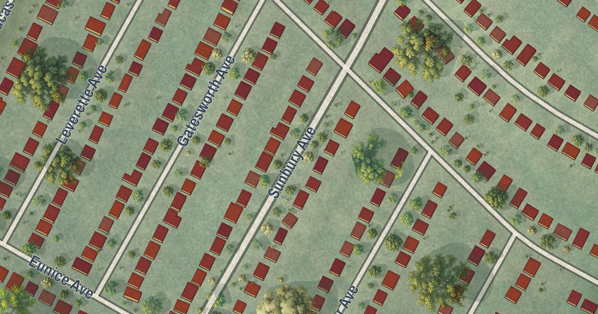
A detailed map of Country Club Hills, Missouri, showing every building in its true location, the roads by name, and shaded topographical relief.
Read More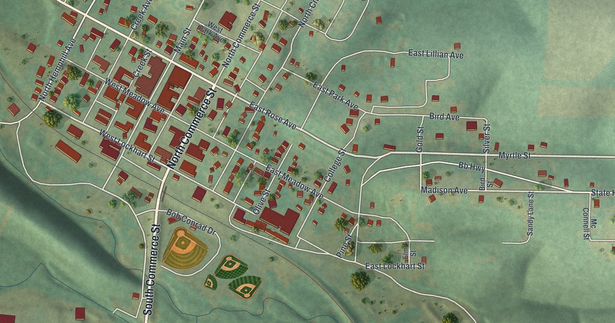
A detailed map of Crane, Missouri, showing every building in its true location, the roads by name, and shaded topographical relief.
Read More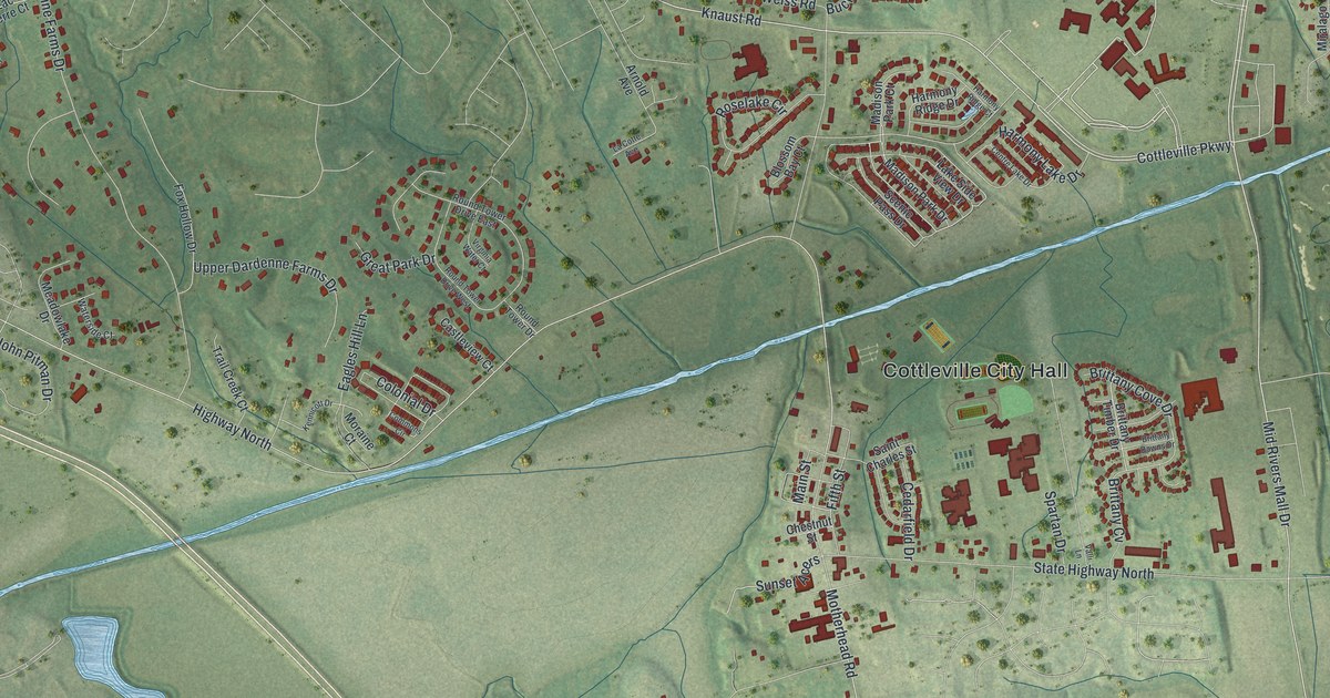
A detailed map of Cottleville, Missouri, showing every building in its true location, the roads by name, and shaded topographical relief.
Read More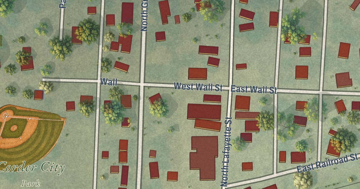
A detailed map of Corder, Missouri, showing every building in its true location, the roads by name, and shaded topographical relief.
Read More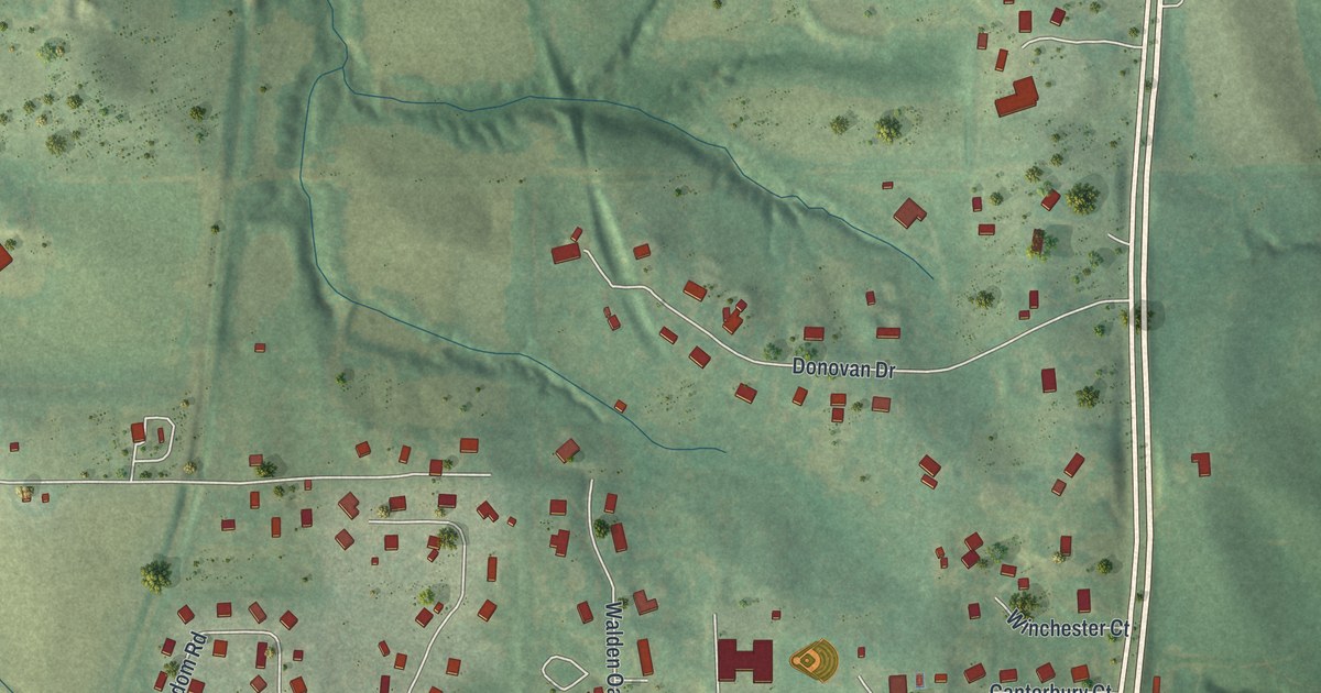
A detailed map of Country Club, Missouri, showing every building in its true location, the roads by name, and shaded topographical relief.
Read More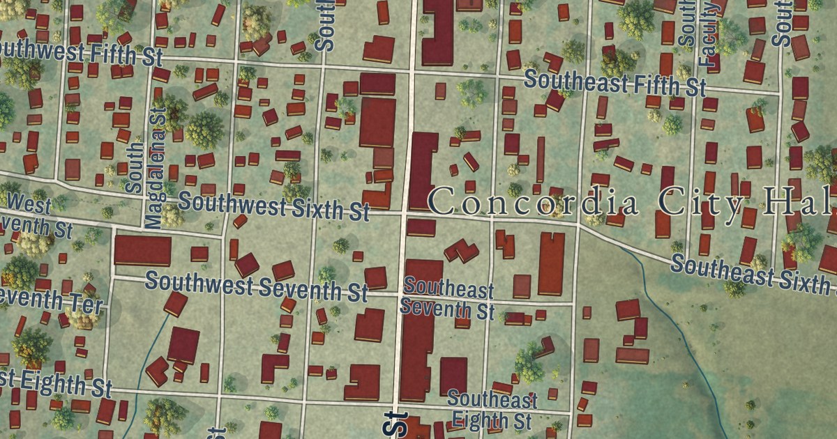
A detailed map of Concordia, Missouri, showing every building in its true location, the roads by name, and shaded topographical relief.
Read More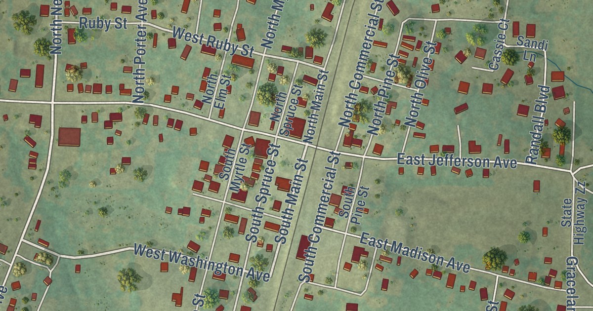
A detailed map of Conway, Missouri, showing every building in its true location, the roads by name, and shaded topographical relief.
Read More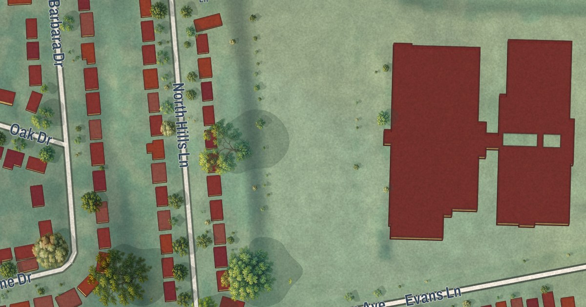
A detailed map of Cool Valley, Missouri, showing every building in its true location, the roads by name, and shaded topographical relief.
Read More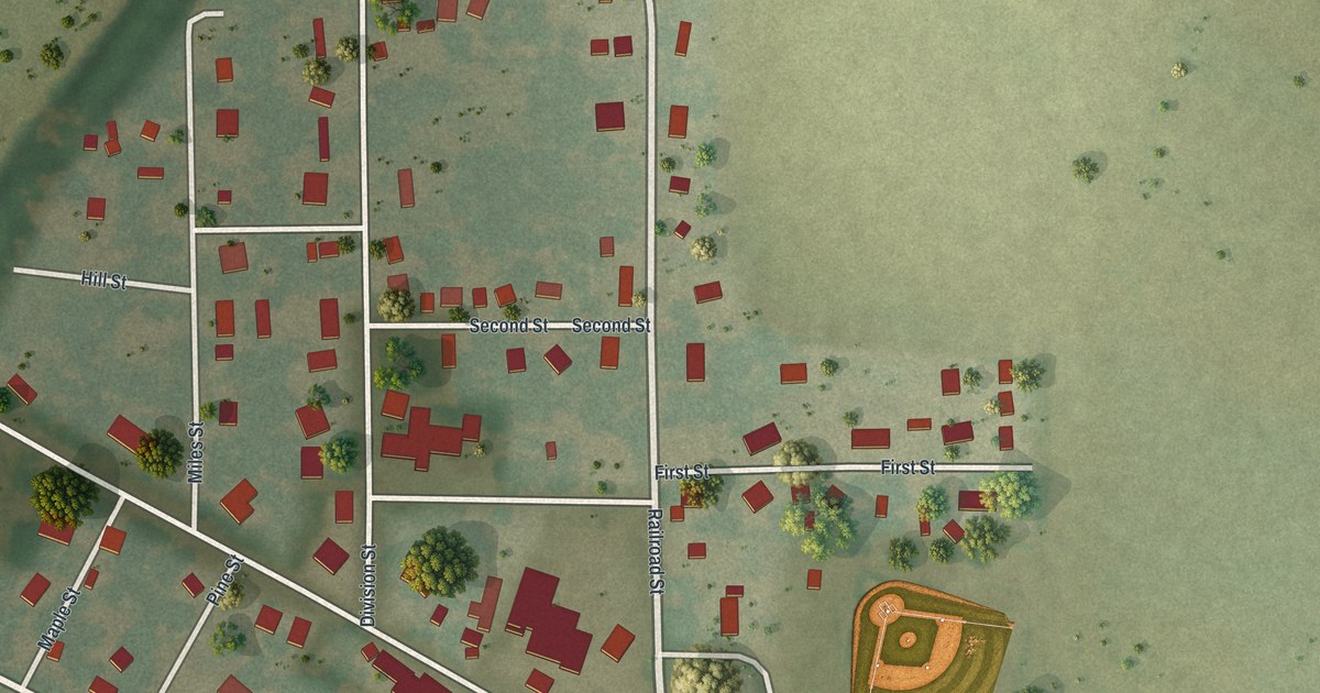
A detailed map of Cooter, Missouri, showing every building in its true location, the roads by name, and shaded topographical relief.
Read More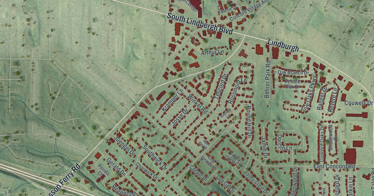
A detailed map of Concord, Missouri, showing every building in its true location, the roads by name, and shaded topographical relief.
Read More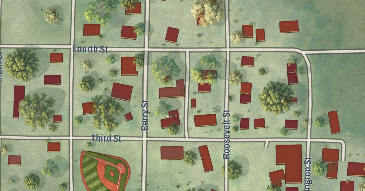
A detailed map of Conception Junction, Missouri, showing every building in its true location, the roads by name, and shaded topographical relief.
Read More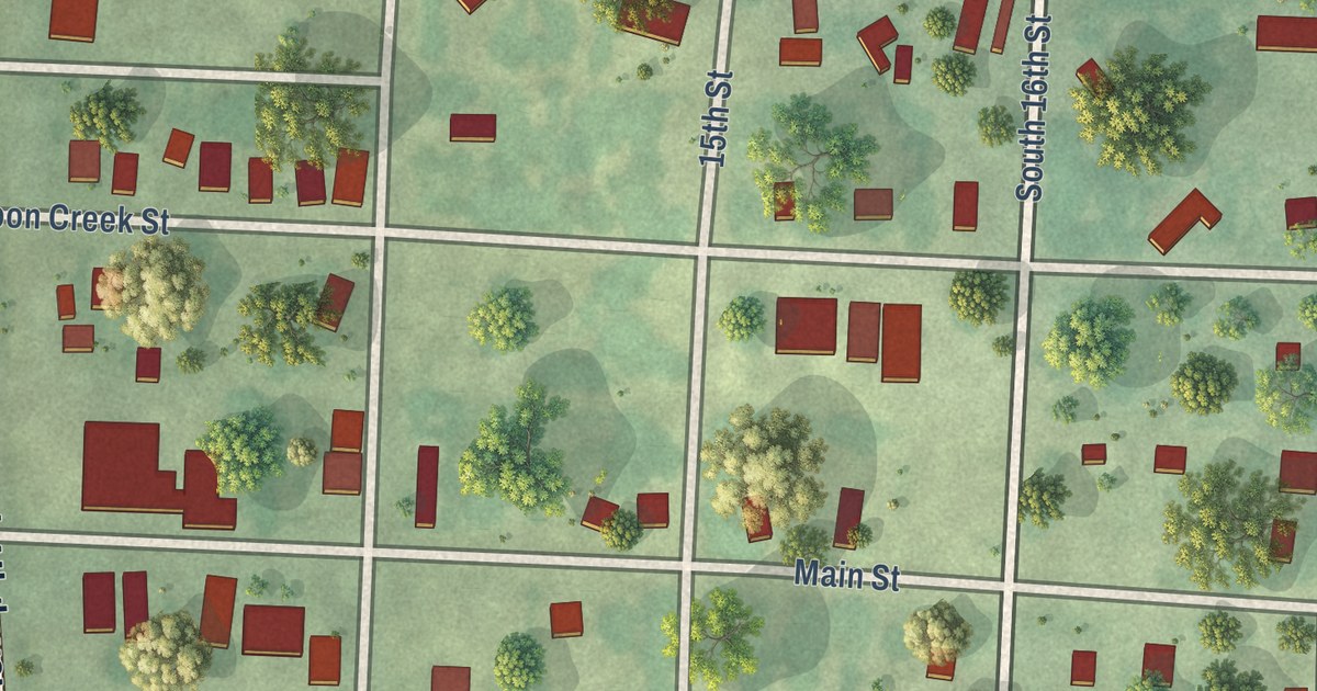
A detailed map of Collins, Missouri, showing every building in its true location, the roads by name, and shaded topographical relief.
Read More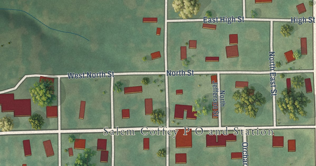
A detailed map of Coffey, Missouri, showing every building in its true location, the roads by name, and shaded topographical relief.
Read More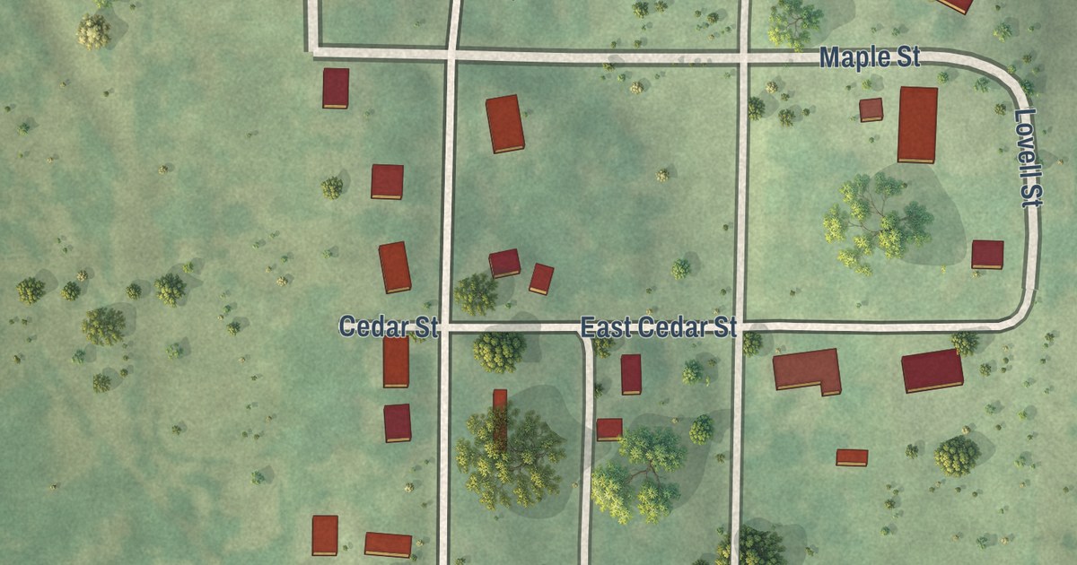
A detailed map of Clyde, Missouri, showing every building in its true location, the roads by name, and shaded topographical relief.
Read More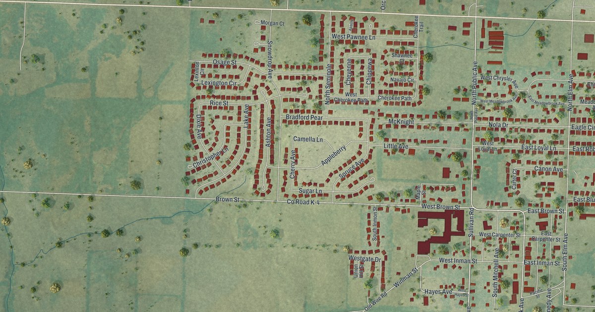
A detailed map of Clever, Missouri, showing every building in its true location, the roads by name, and shaded topographical relief.
Read More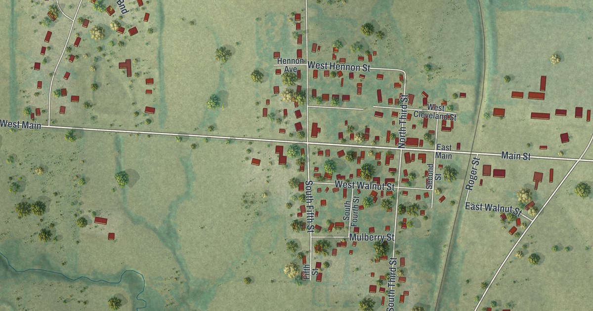
A detailed map of Cleveland, Missouri, showing every building in its true location, the roads by name, and shaded topographical relief.
Read More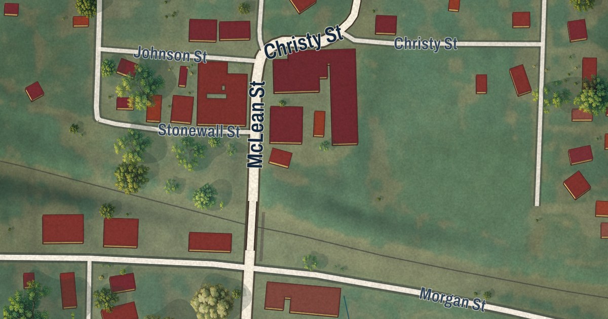
A detailed map of Clifton Hill, Missouri, showing every building in its true location, the roads by name, and shaded topographical relief.
Read More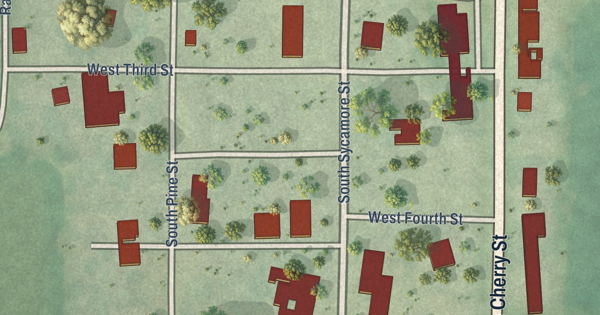
A detailed map of Clearmont, Missouri, showing every building in its true location, the roads by name, and shaded topographical relief.
Read More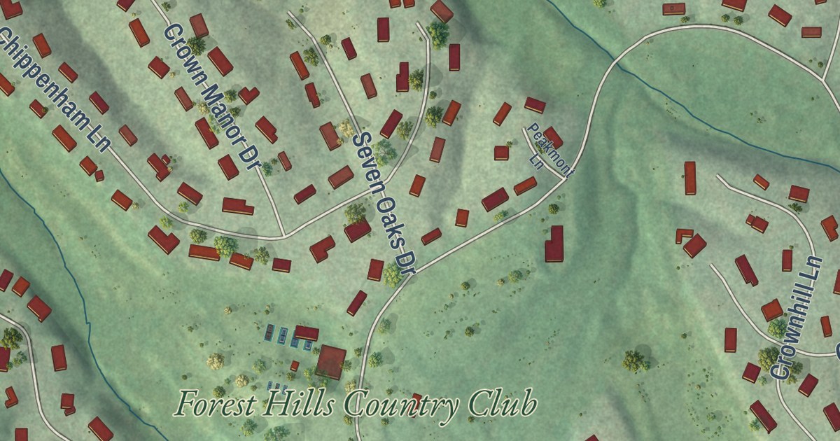
A detailed map of Clarkson Valley, Missouri, showing every building in its true location, the roads by name, and shaded topographical relief.
Read More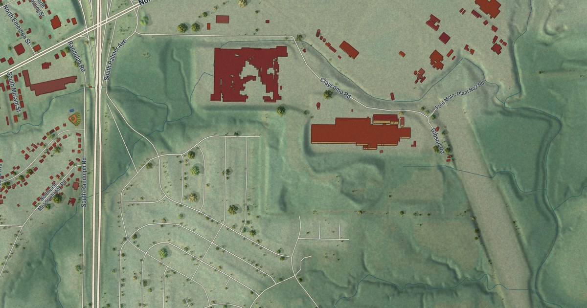
A detailed map of Claycomo, Missouri, showing every building in its true location, the roads by name, and shaded topographical relief.
Read More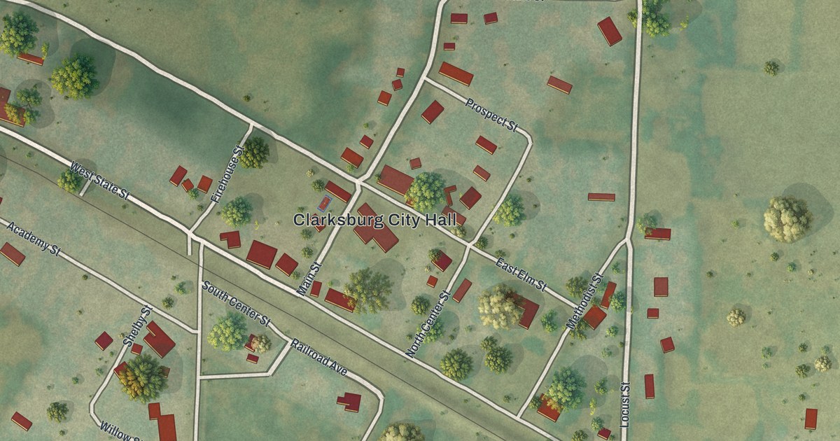
A detailed map of Clarksburg, Missouri, showing every building in its true location, the roads by name, and shaded topographical relief.
Read More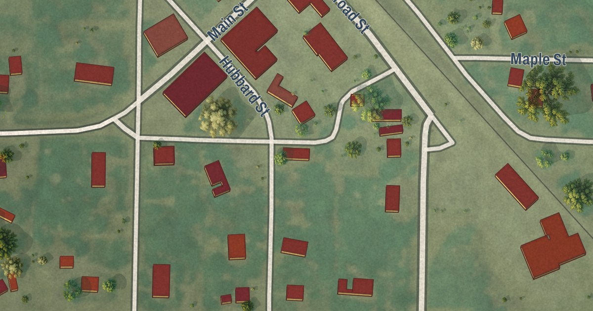
A detailed map of Clark, Missouri, showing every building in its true location, the roads by name, and shaded topographical relief.
Read More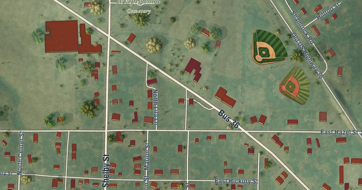
A detailed map of Clarence, Missouri, showing every building in its true location, the roads by name, and shaded topographical relief.
Read More















