Detailed Map of Chula, Missouri
A detailed map of Chula, Missouri, showing every building in its true location, the roads by name, and shaded topographical relief.
Read More
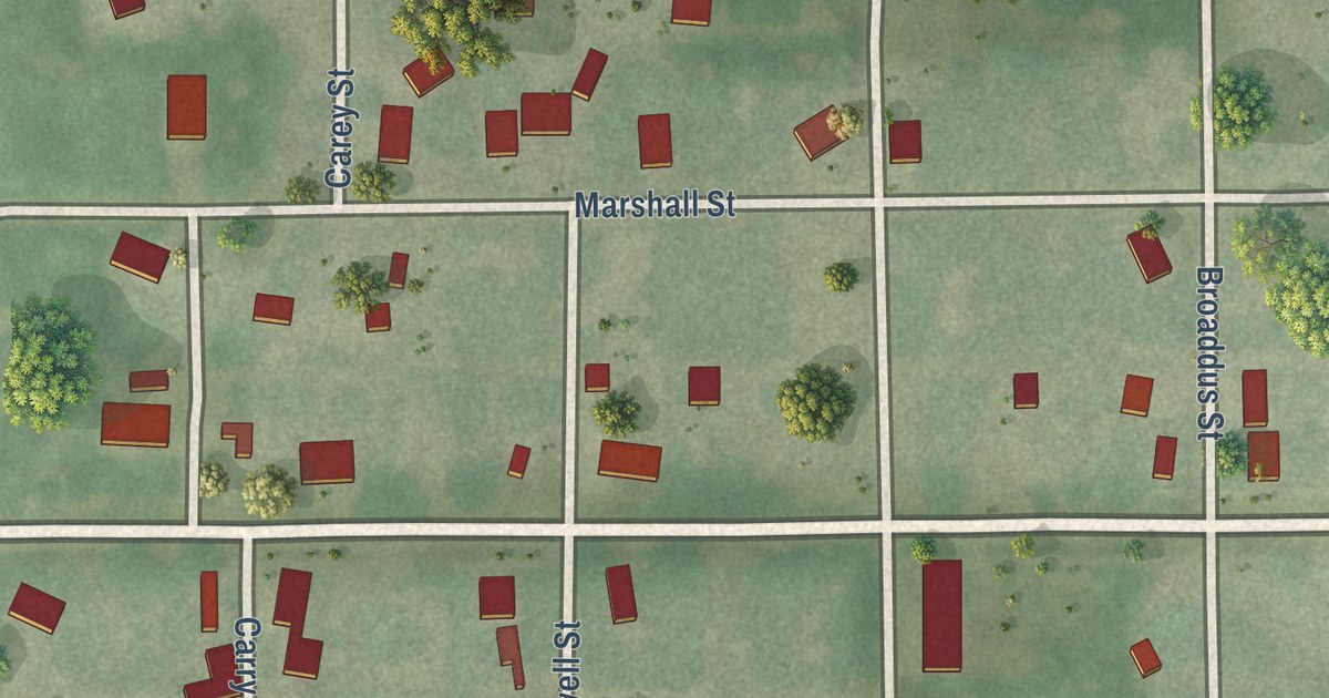
A detailed map of Chula, Missouri, showing every building in its true location, the roads by name, and shaded topographical relief.
Read More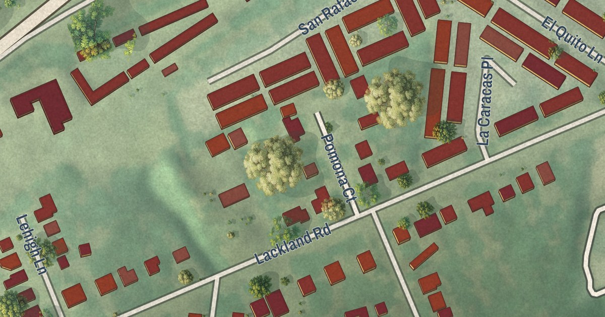
A detailed map of Charlack, Missouri, showing every building in its true location, the roads by name, and shaded topographical relief.
Read More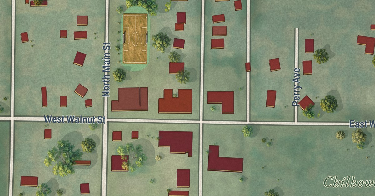
A detailed map of Chilhowee, Missouri, showing every building in its true location, the roads by name, and shaded topographical relief.
Read More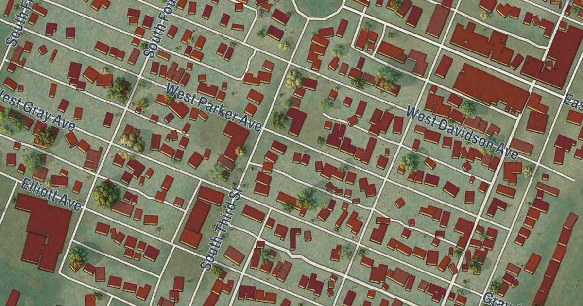
A detailed map of Chaffee, Missouri, showing every building in its true location, the roads by name, and shaded topographical relief.
Read More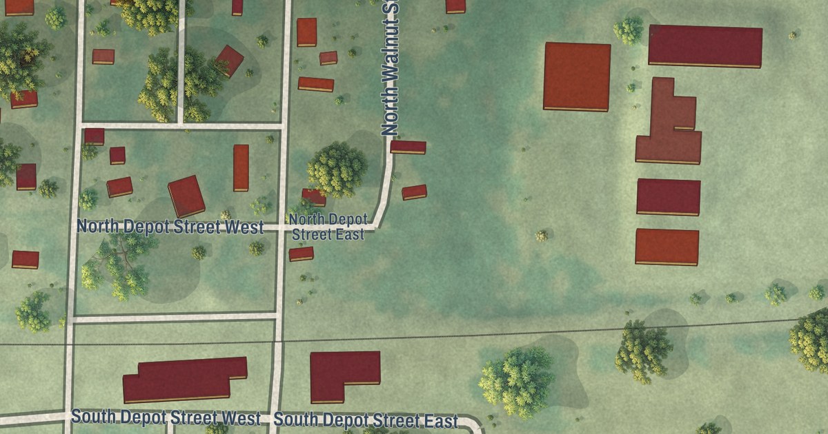
A detailed map of Centerview, Missouri, showing every building in its true location, the roads by name, and shaded topographical relief.
Read More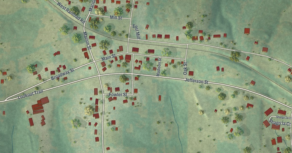
A detailed map of Centertown, Missouri, showing every building in its true location, the roads by name, and shaded topographical relief.
Read More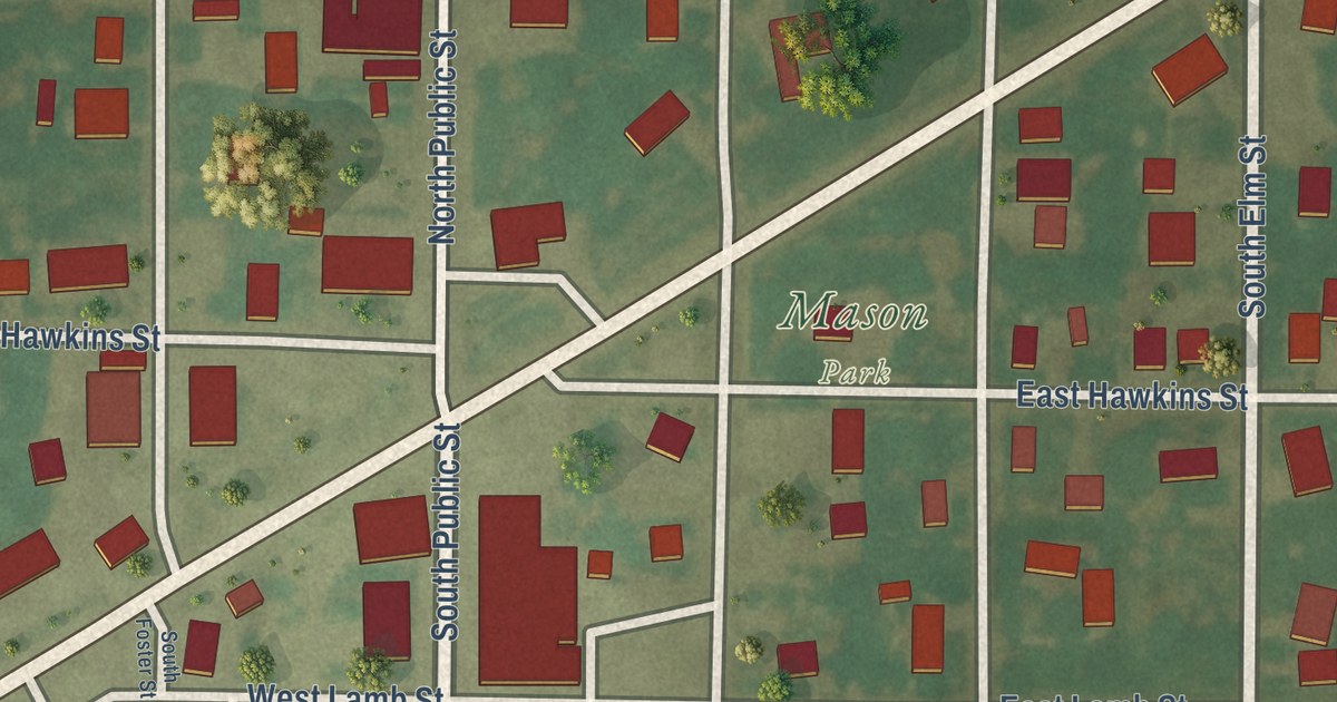
A detailed map of Center, Missouri, showing every building in its true location, the roads by name, and shaded topographical relief.
Read More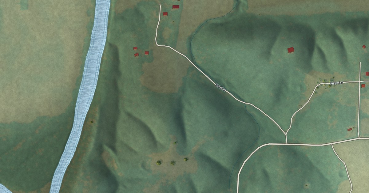
A detailed map of Cave, Missouri, showing every building in its true location, the roads by name, and shaded topographical relief.
Read More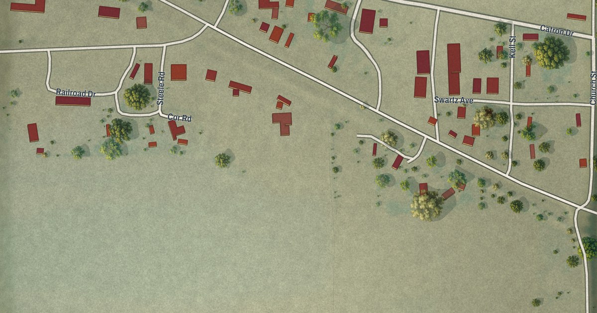
A detailed map of Catron, Missouri, showing every building in its true location, the roads by name, and shaded topographical relief.
Read More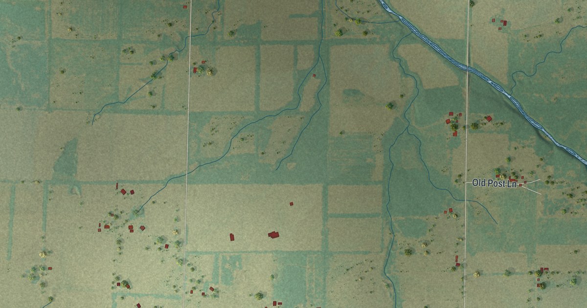
A detailed map of Carytown, Missouri, showing every building in its true location, the roads by name, and shaded topographical relief.
Read More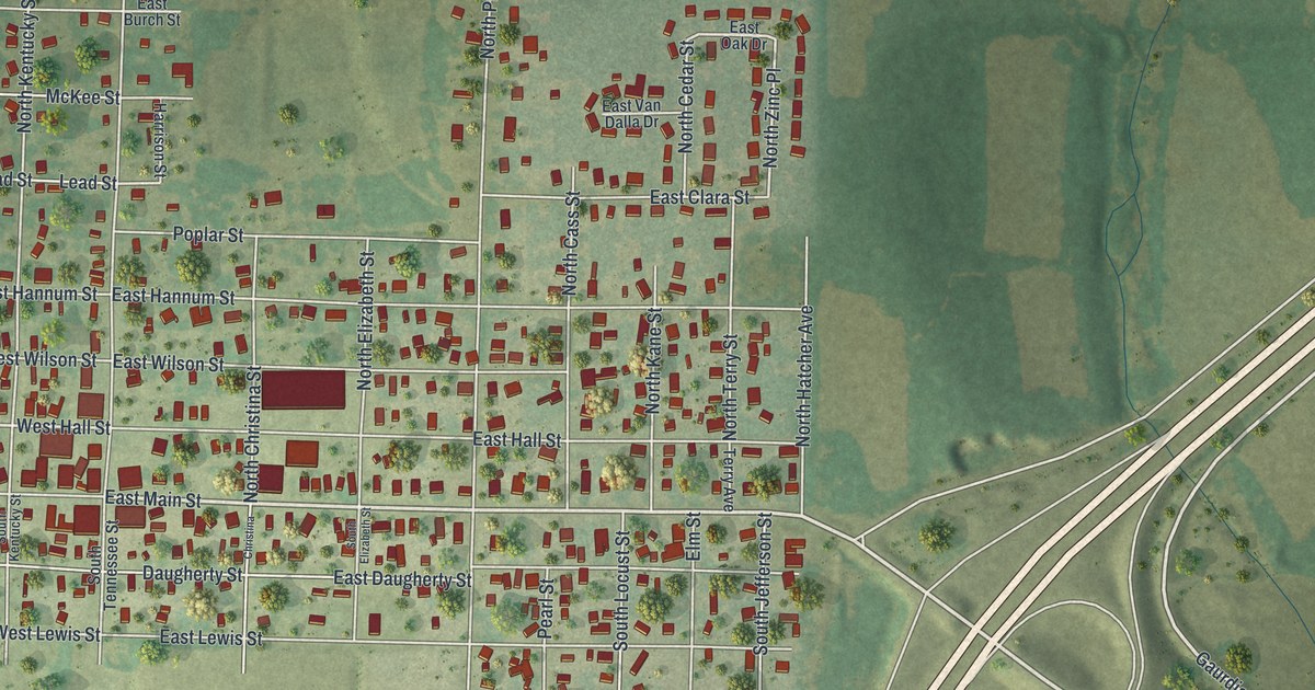
A detailed map of Carterville, Missouri, showing every building in its true location, the roads by name, and shaded topographical relief.
Read More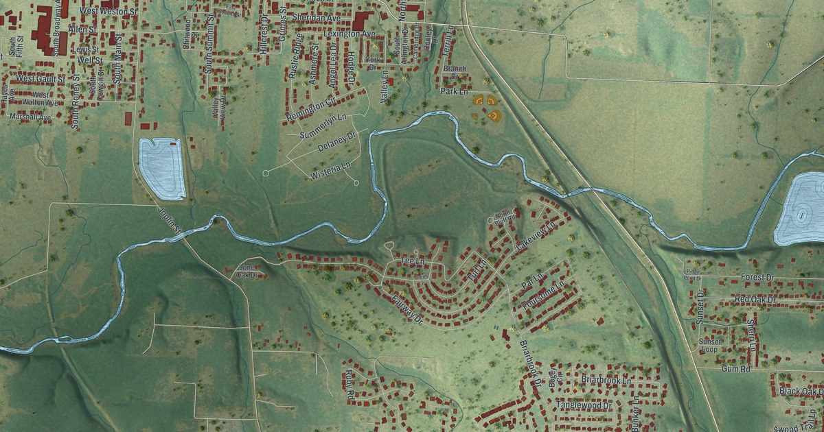
A detailed map of Carl Junction, Missouri, showing every building in its true location, the roads by name, and shaded topographical relief.
Read More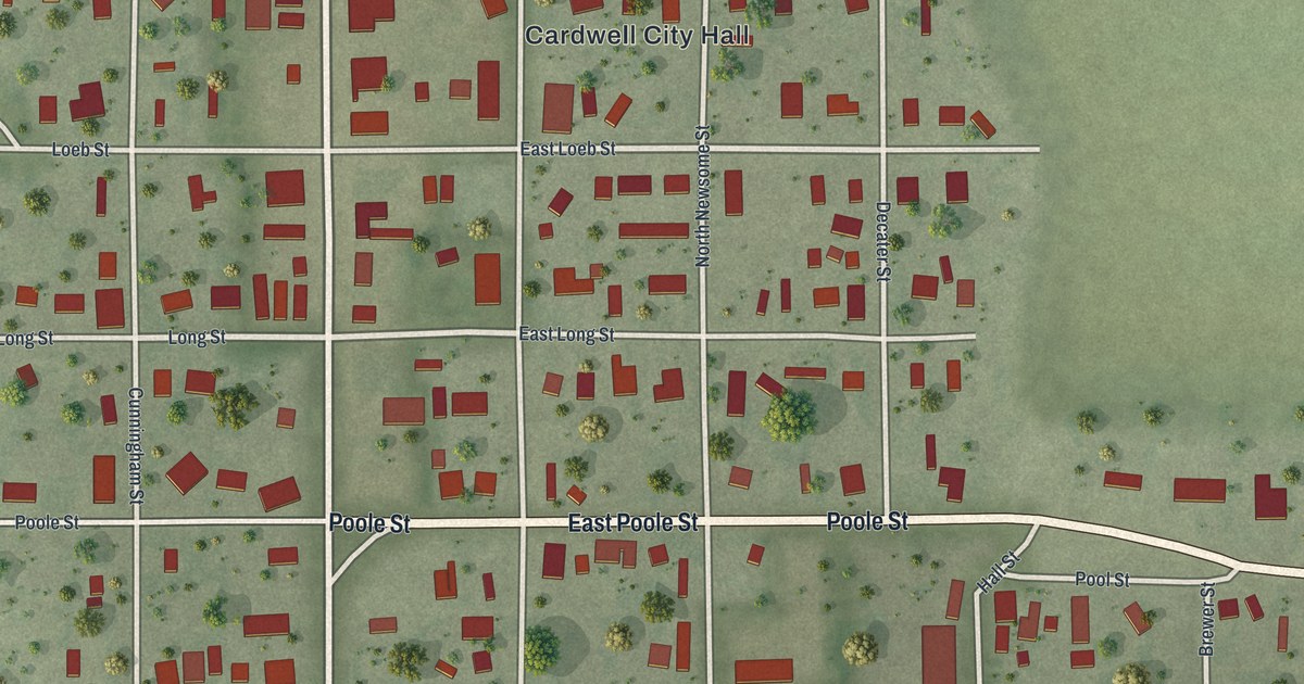
A detailed map of Cardwell, Missouri, showing every building in its true location, the roads by name, and shaded topographical relief.
Read More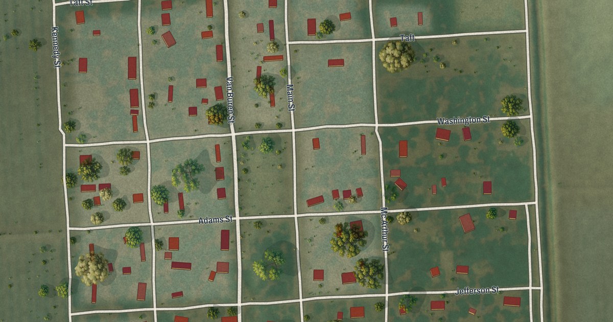
A detailed map of Canalou, Missouri, showing every building in its true location, the roads by name, and shaded topographical relief.
Read More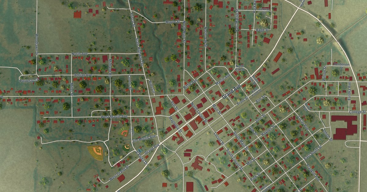
A detailed map of Campbell, Missouri, showing every building in its true location, the roads by name, and shaded topographical relief.
Read More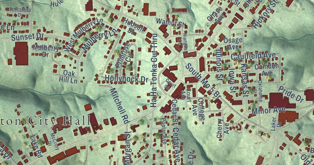
A detailed map of Camdenton, Missouri, showing every building in its true location, the roads by name, and shaded topographical relief.
Read More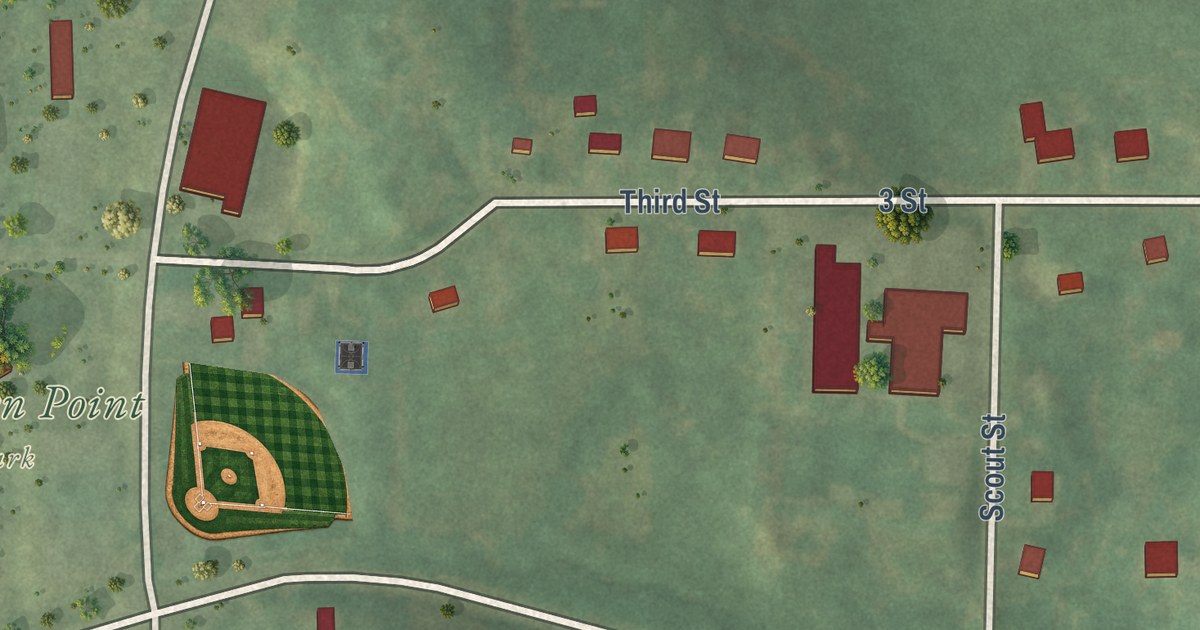
A detailed map of Camden Point, Missouri, showing every building in its true location, the roads by name, and shaded topographical relief.
Read More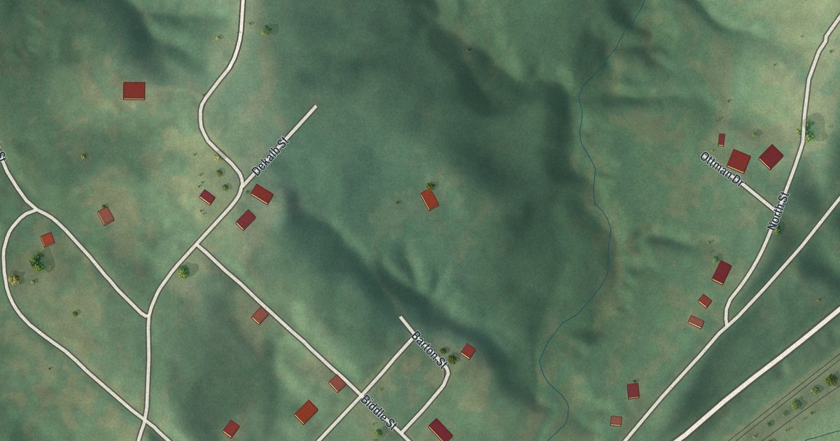
A detailed map of Camden, Missouri, showing every building in its true location, the roads by name, and shaded topographical relief.
Read More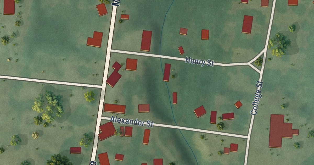
A detailed map of Caledonia, Missouri, showing every building in its true location, the roads by name, and shaded topographical relief.
Read More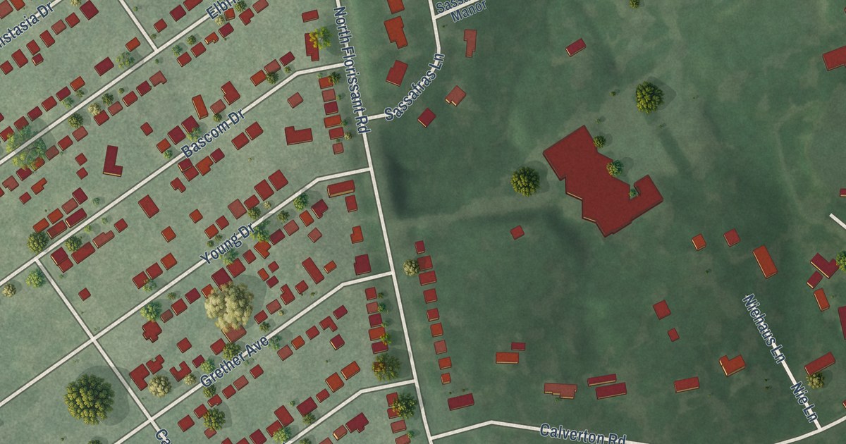
A detailed map of Calverton Park, Missouri, showing every building in its true location, the roads by name, and shaded topographical relief.
Read More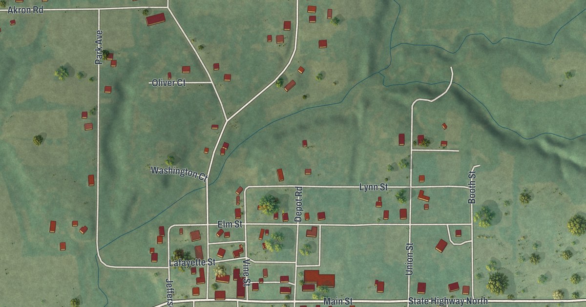
A detailed map of Cainsville, Missouri, showing every building in its true location, the roads by name, and shaded topographical relief.
Read More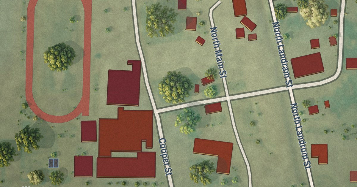
A detailed map of Cairo, Missouri, showing every building in its true location, the roads by name, and shaded topographical relief.
Read More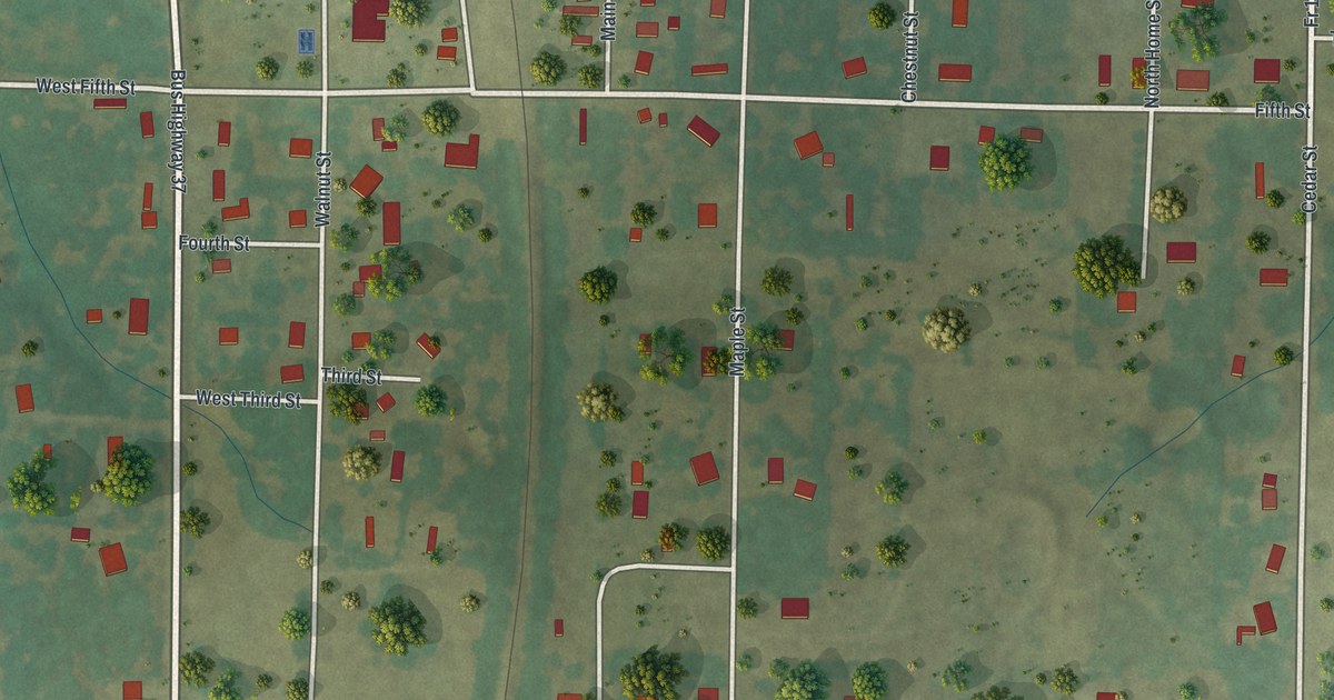
A detailed map of Butterfield, Missouri, showing every building in its true location, the roads by name, and shaded topographical relief.
Read More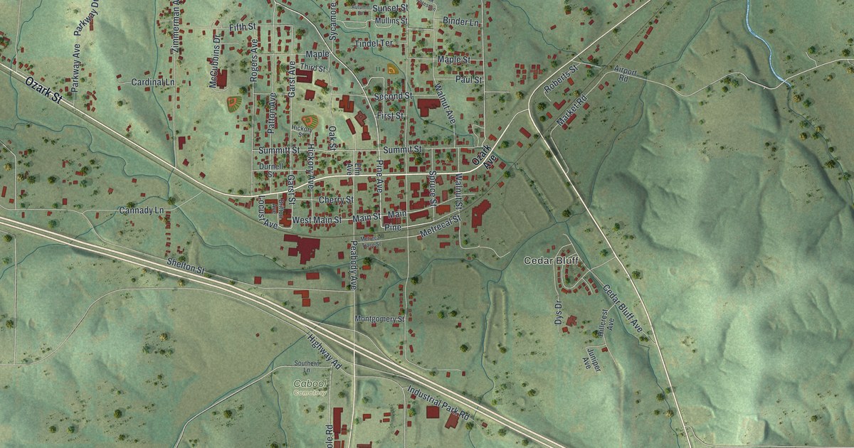
A detailed map of Cabool, Missouri, showing every building in its true location, the roads by name, and shaded topographical relief.
Read More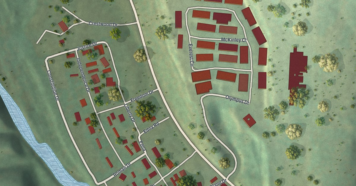
A detailed map of Bull Creek, Missouri, showing every building in its true location, the roads by name, and shaded topographical relief.
Read More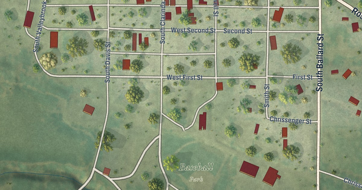
A detailed map of Burlington Junction, Missouri, showing every building in its true location, the roads by name, and shaded topographical relief.
Read More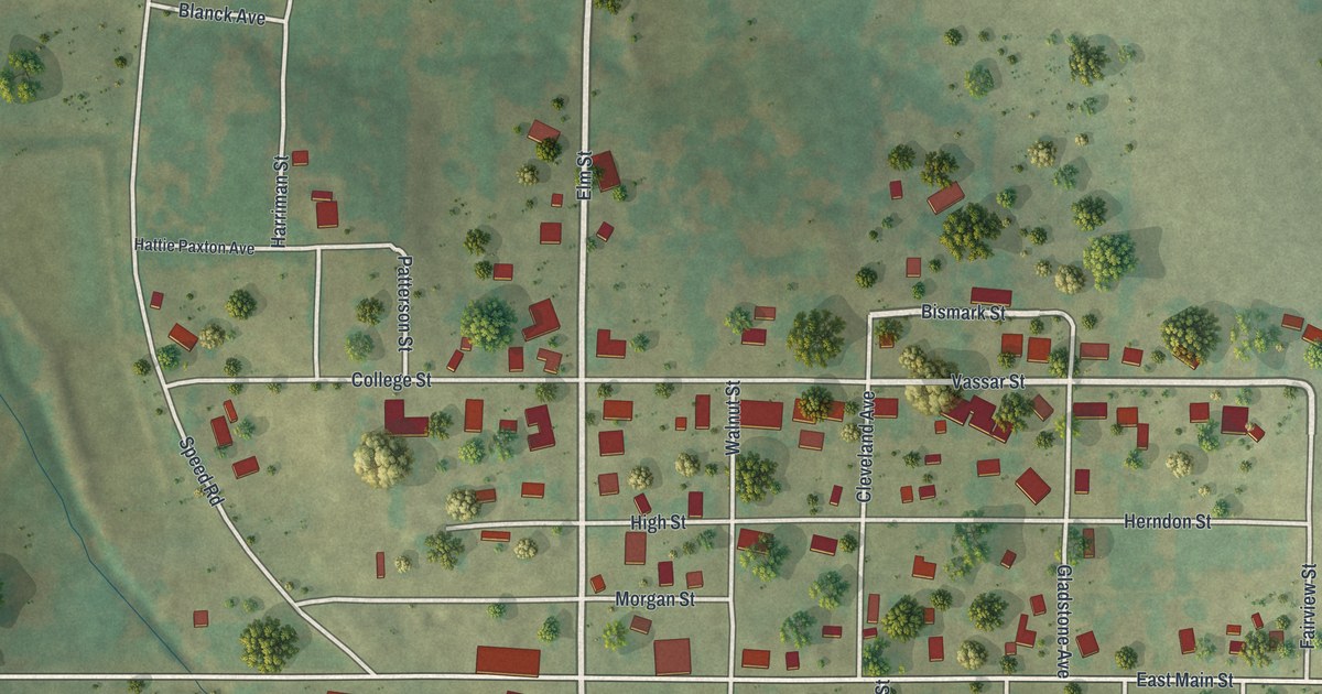
A detailed map of Bunceton, Missouri, showing every building in its true location, the roads by name, and shaded topographical relief.
Read More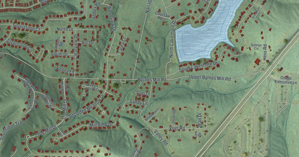
A detailed map of Byrnes Mill, Missouri, showing every building in its true location, the roads by name, and shaded topographical relief.
Read More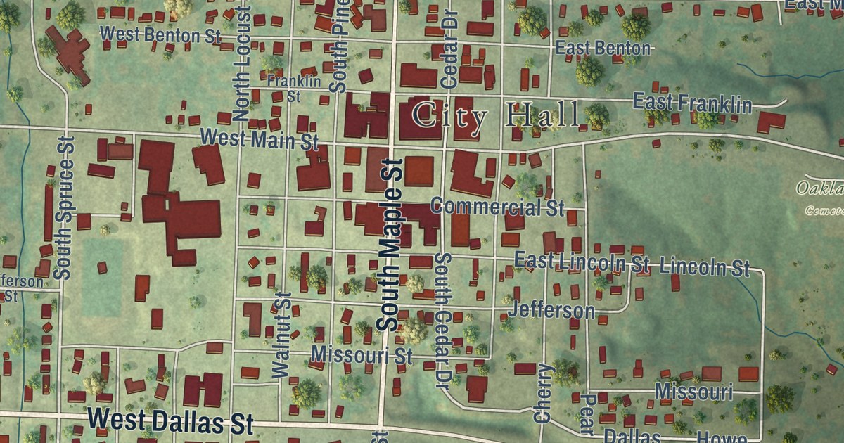
A detailed map of Buffalo, Missouri, showing every building in its true location, the roads by name, and shaded topographical relief.
Read More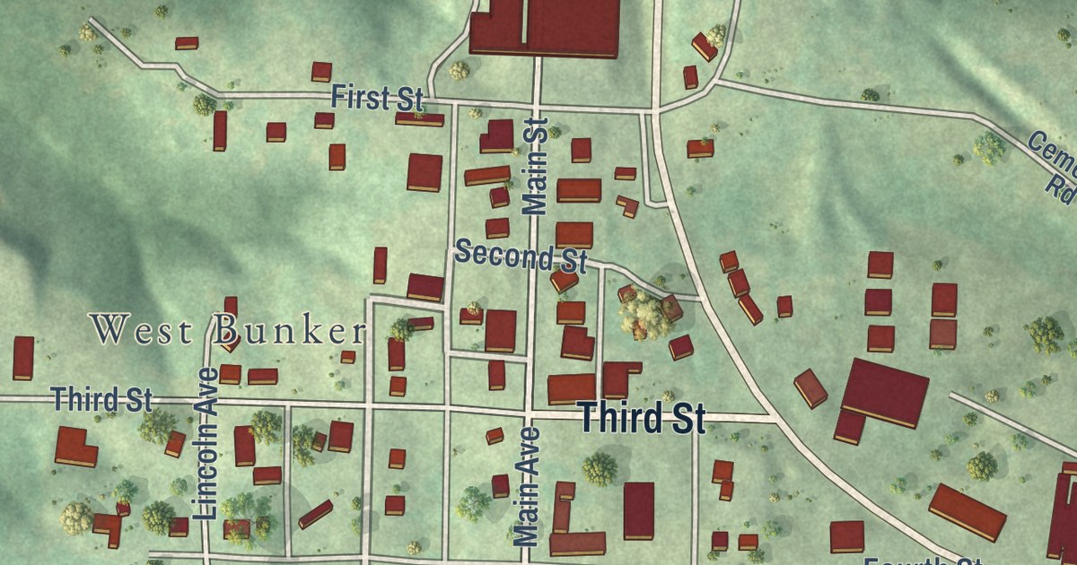
A detailed map of Bunker, Missouri, showing every building in its true location, the roads by name, and shaded topographical relief.
Read More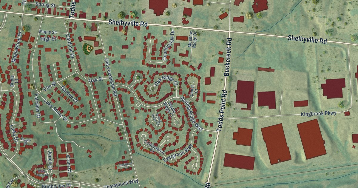
A detailed map of Simpsonville, Kentucky, showing every building in its true location, the roads by name, and shaded topographical relief.
Read More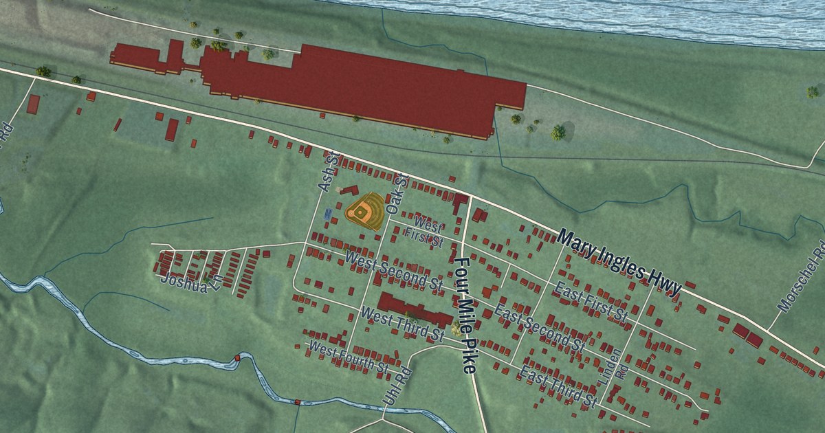
A detailed map of Silver Grove, Kentucky, showing every building in its true location, the roads by name, and shaded topographical relief.
Read More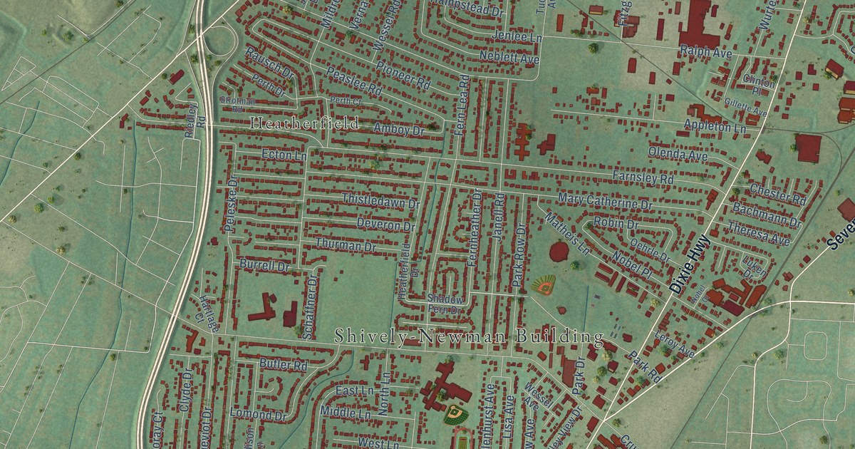
A detailed map of Shively, Kentucky, showing every building in its true location, the roads by name, and shaded topographical relief.
Read More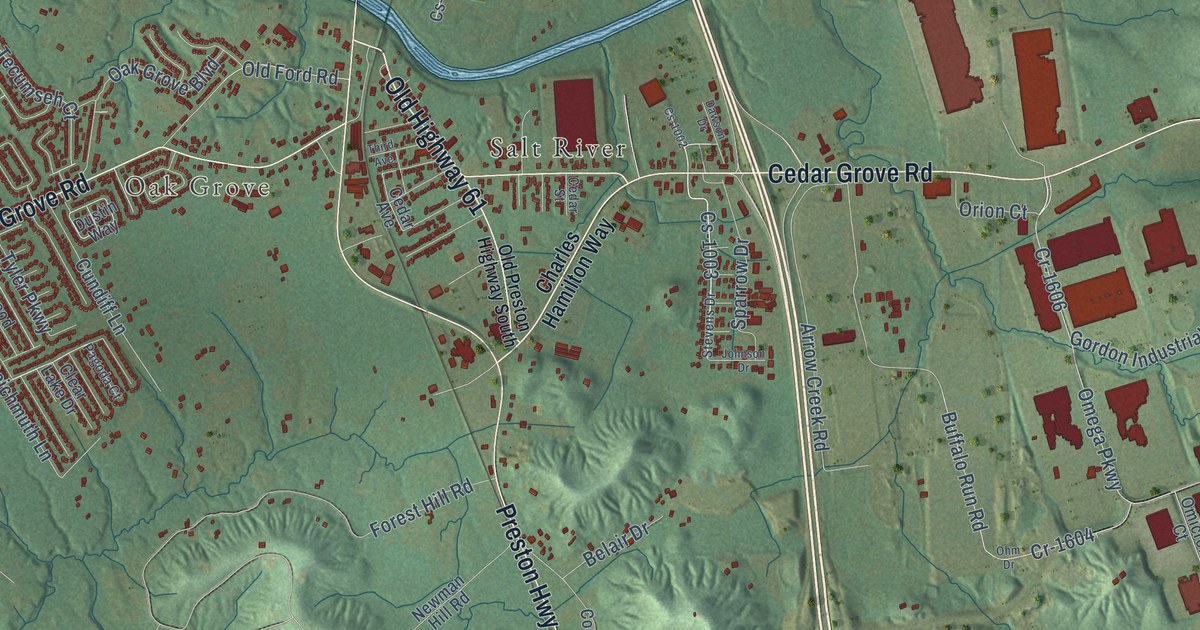
A detailed map of Shepherdsville, Kentucky, showing every building in its true location, the roads by name, and shaded topographical relief.
Read More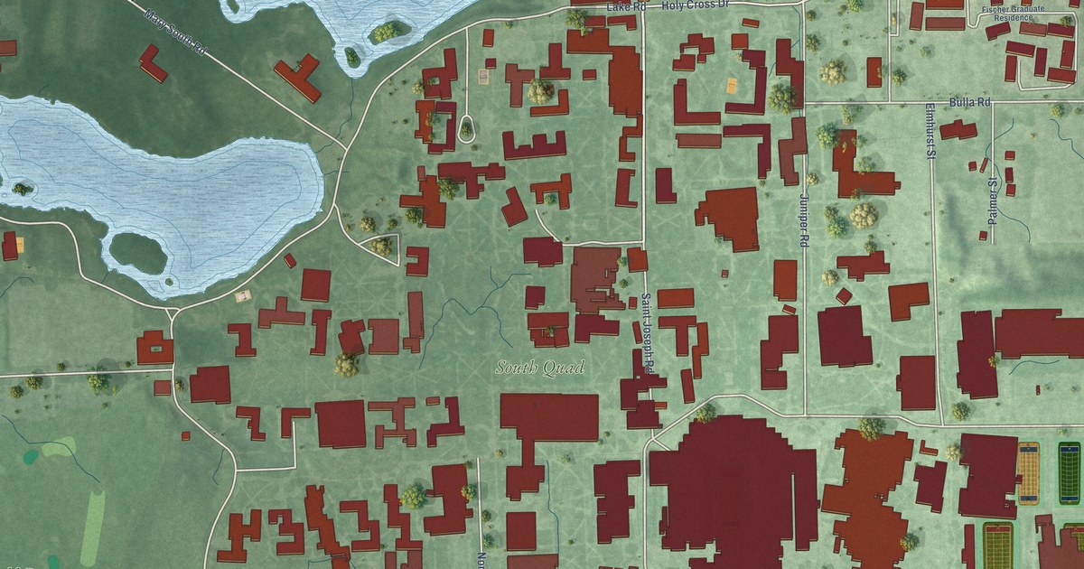
A detailed map of Notre Dame, Indiana, showing every building in its true location, the roads by name, and shaded topographical relief.
Read More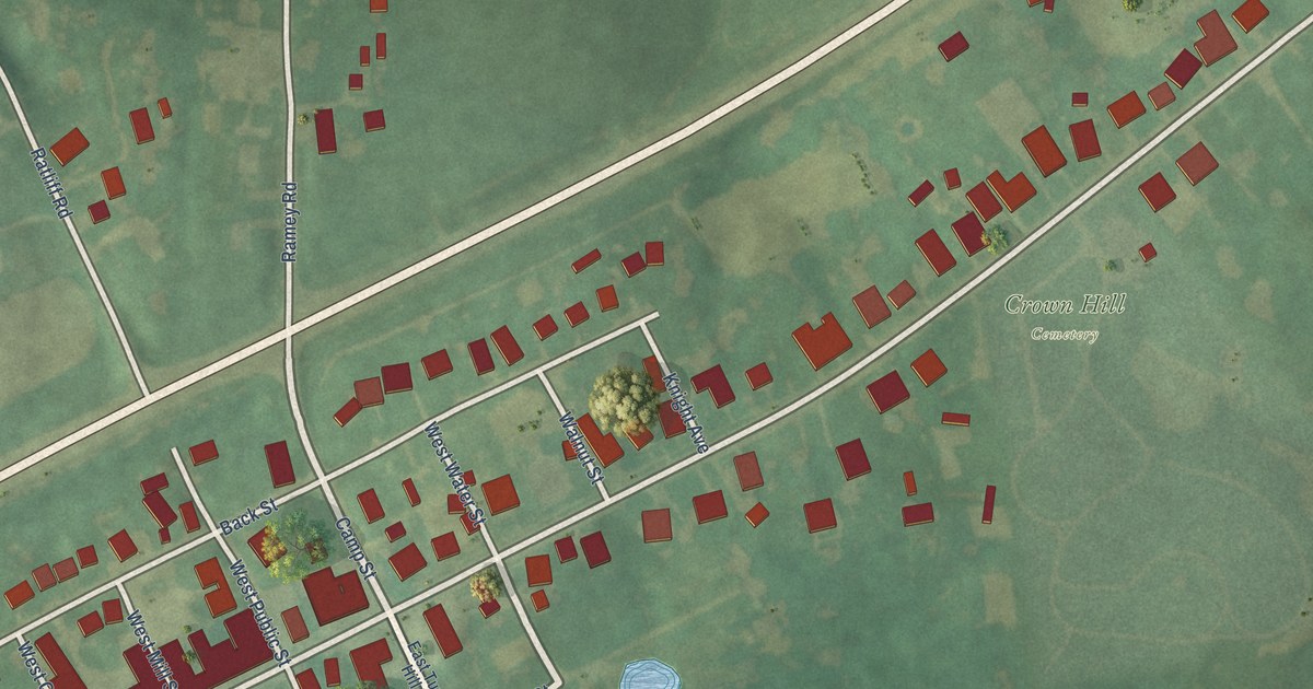
A detailed map of Sharpsburg, Kentucky, showing every building in its true location, the roads by name, and shaded topographical relief.
Read More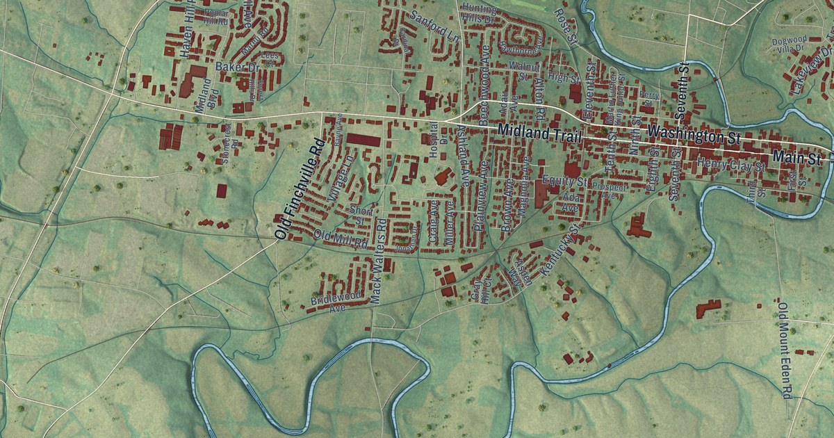
A detailed map of Shelbyville, Kentucky, showing every building in its true location, the roads by name, and shaded topographical relief.
Read More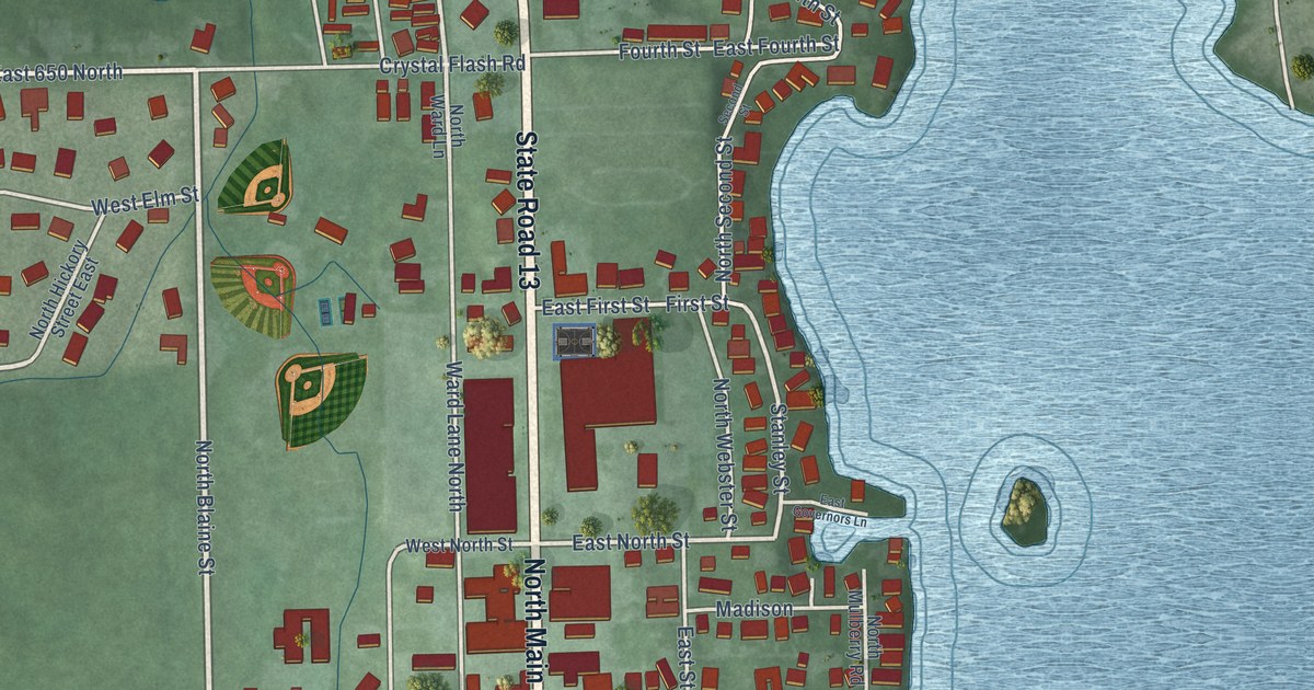
A detailed map of North Webster, Indiana, showing every building in its true location, the roads by name, and shaded topographical relief.
Read More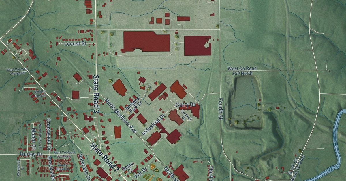
A detailed map of North Vernon, Indiana, showing every building in its true location, the roads by name, and shaded topographical relief.
Read More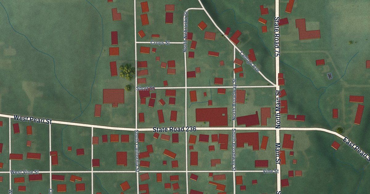
A detailed map of North Salem, Indiana, showing every building in its true location, the roads by name, and shaded topographical relief.
Read More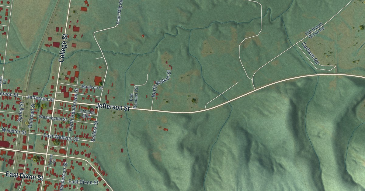
A detailed map of Sebree, Kentucky, showing every building in its true location, the roads by name, and shaded topographical relief.
Read More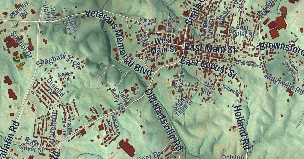
A detailed map of Scottsville, Kentucky, showing every building in its true location, the roads by name, and shaded topographical relief.
Read More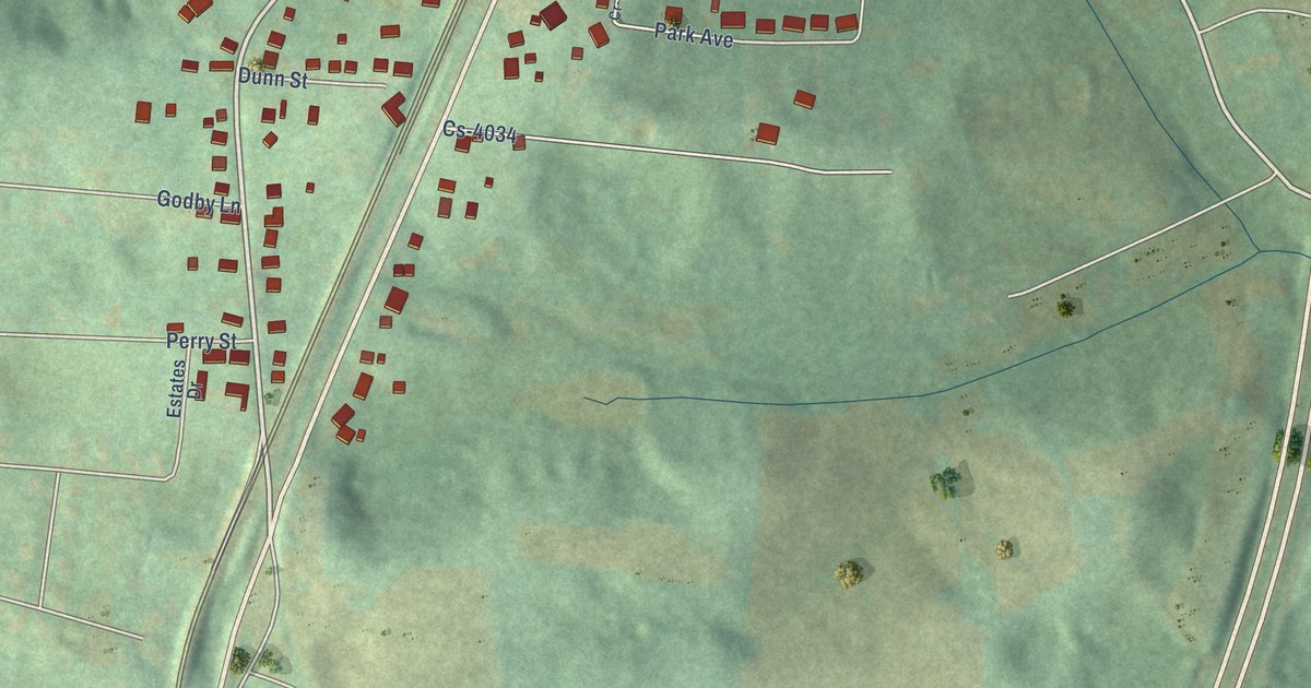
A detailed map of Science Hill, Kentucky, showing every building in its true location, the roads by name, and shaded topographical relief.
Read More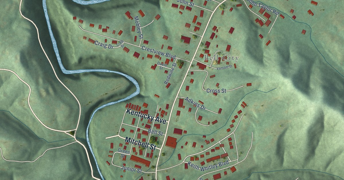
A detailed map of Sandy Hook, Kentucky, showing every building in its true location, the roads by name, and shaded topographical relief.
Read More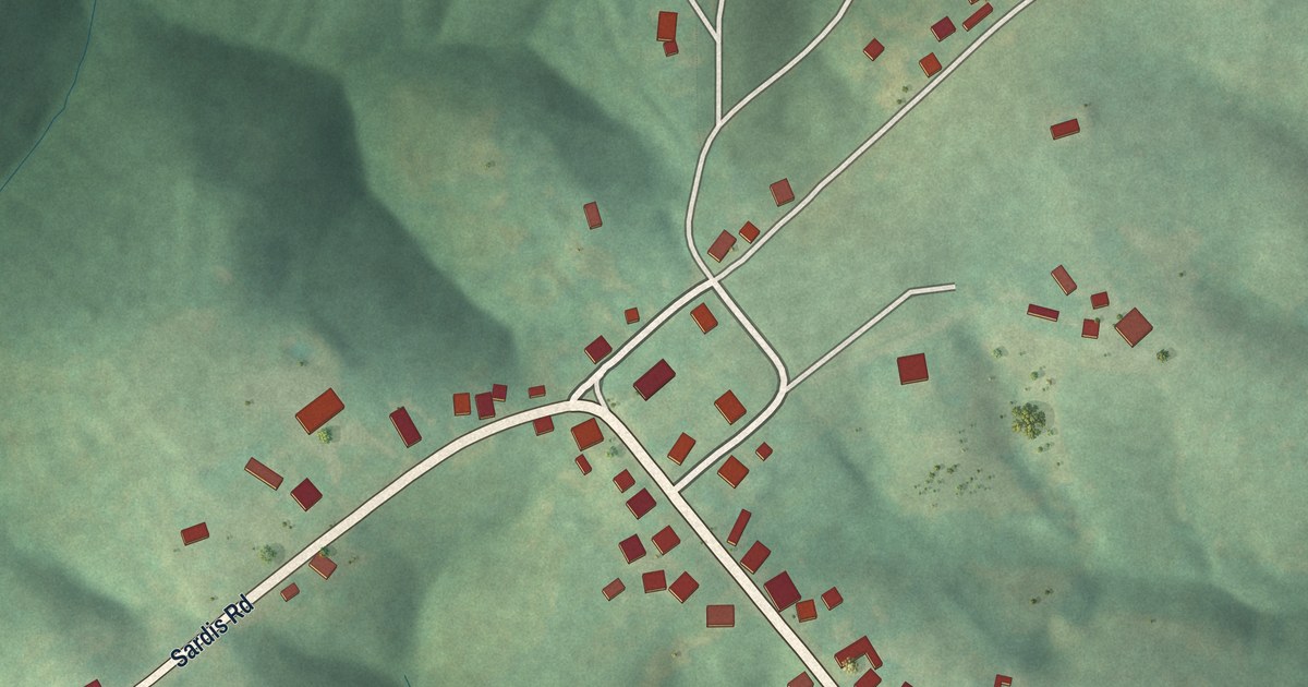
A detailed map of Sardis, Kentucky, showing every building in its true location, the roads by name, and shaded topographical relief.
Read More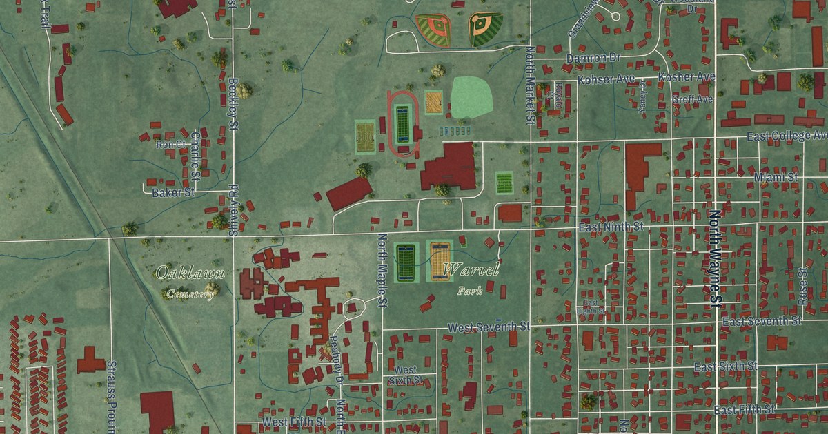
A detailed map of North Manchester, Indiana, showing every building in its true location, the roads by name, and shaded topographical relief.
Read More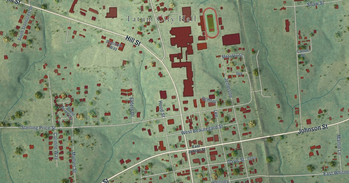
A detailed map of Tatum, Texas, showing every building in its true location, the roads by name, and shaded topographical relief.
Read More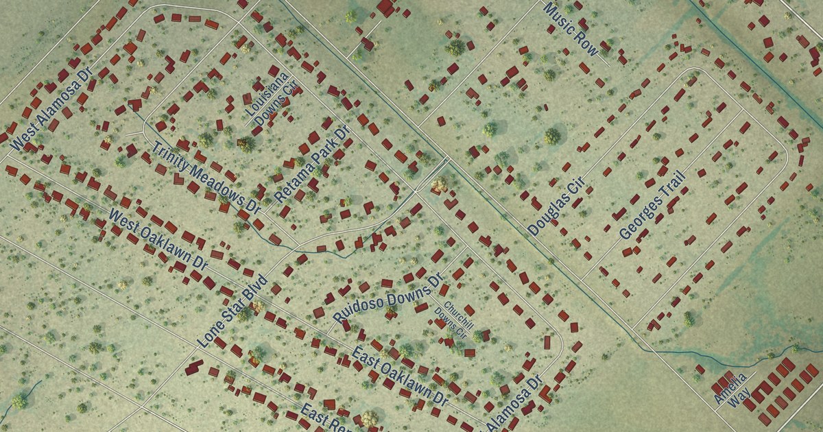
A detailed map of Talty, Texas, showing every building in its true location, the roads by name, and shaded topographical relief.
Read More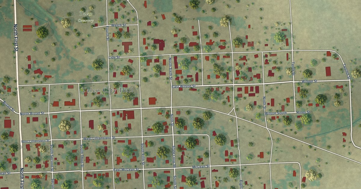
A detailed map of Talco, Texas, showing every building in its true location, the roads by name, and shaded topographical relief.
Read More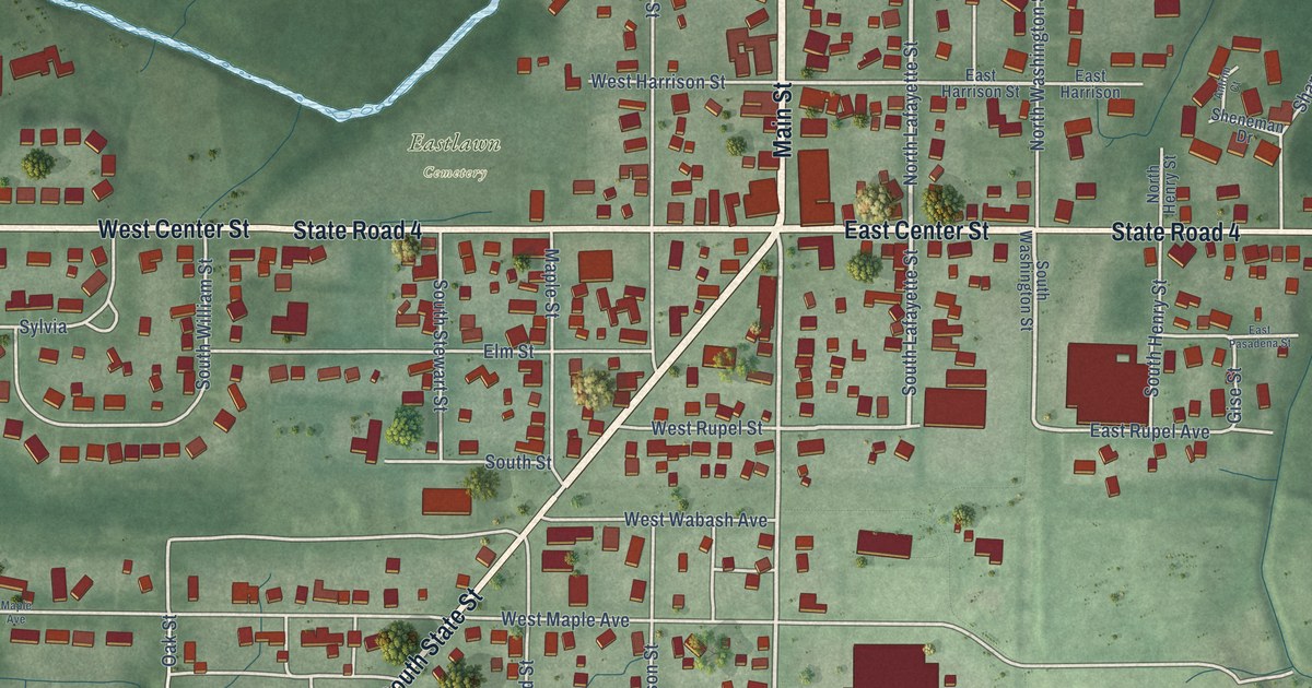
A detailed map of North Liberty, Indiana, showing every building in its true location, the roads by name, and shaded topographical relief.
Read More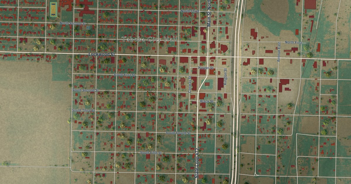
A detailed map of Tahoka, Texas, showing every building in its true location, the roads by name, and shaded topographical relief.
Read More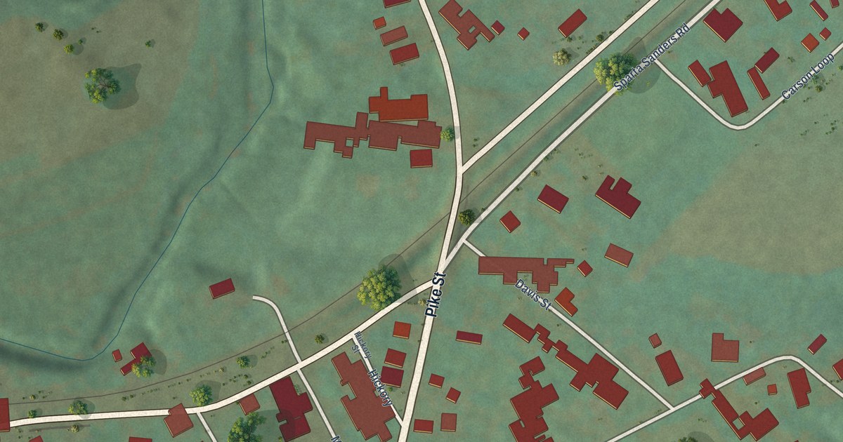
A detailed map of Sanders, Kentucky, showing every building in its true location, the roads by name, and shaded topographical relief.
Read More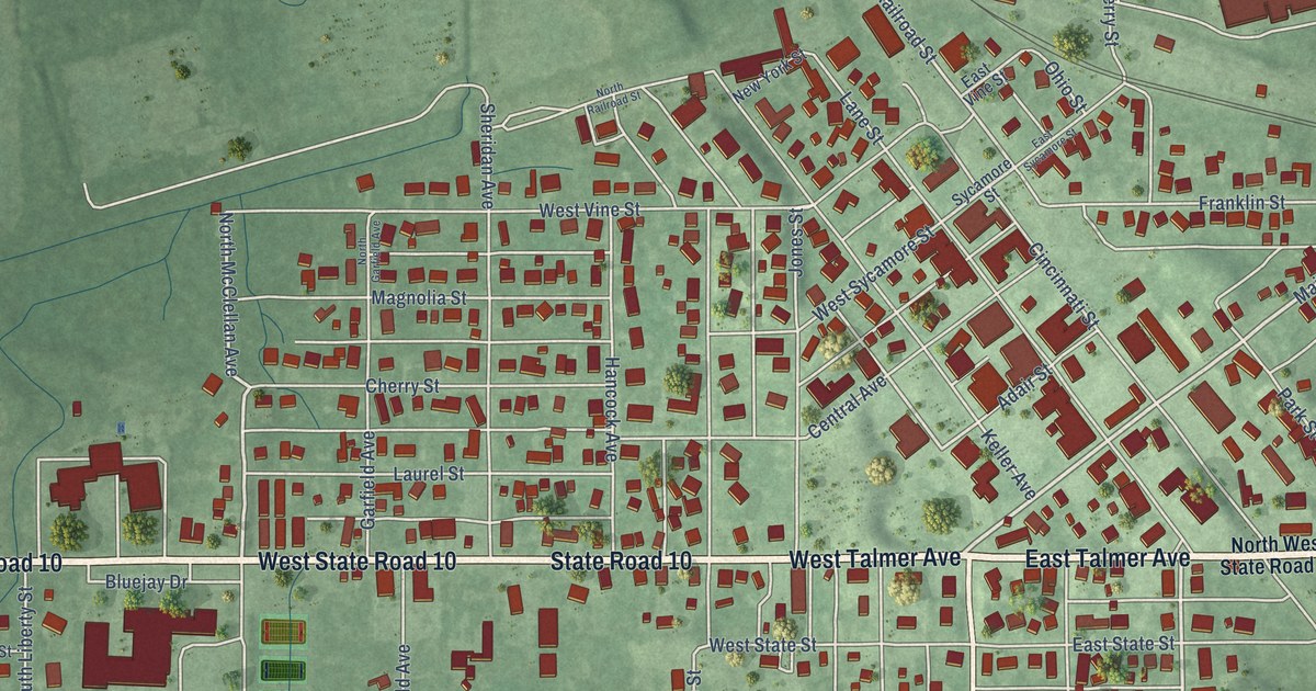
A detailed map of North Judson, Indiana, showing every building in its true location, the roads by name, and shaded topographical relief.
Read More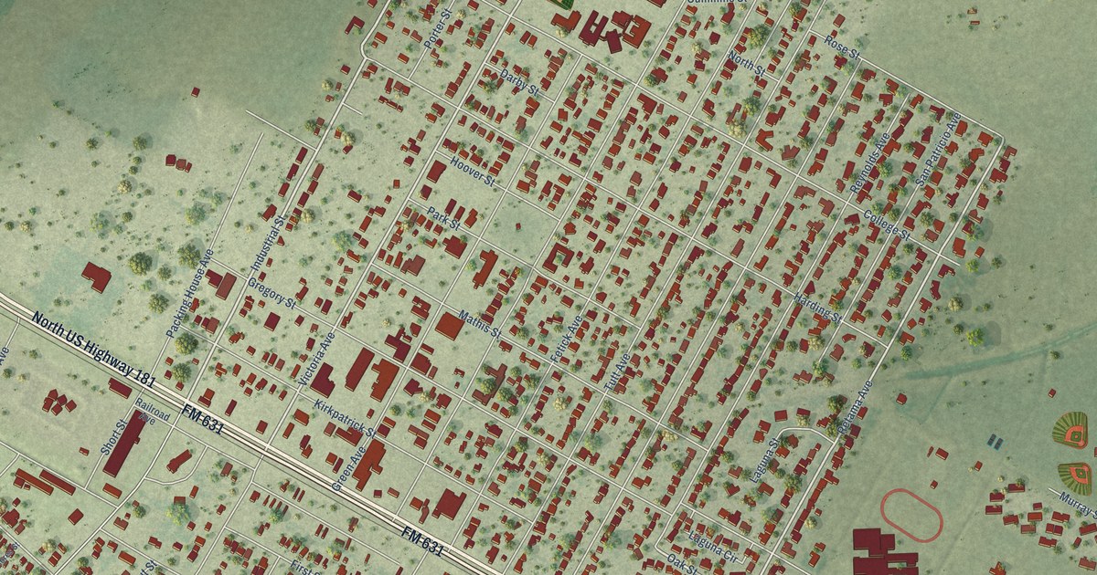
A detailed map of Taft, Texas, showing every building in its true location, the roads by name, and shaded topographical relief.
Read More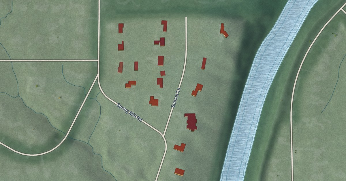
A detailed map of North Crows Nest, Indiana, showing every building in its true location, the roads by name, and shaded topographical relief.
Read More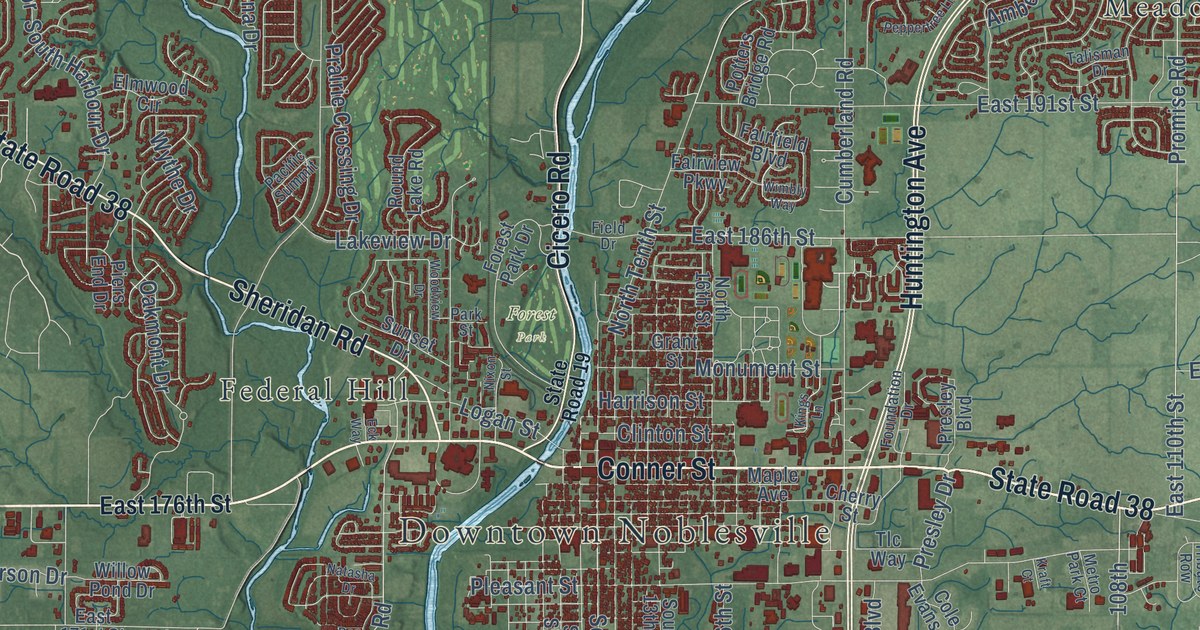
A detailed map of Noblesville, Indiana, showing every building in its true location, the roads by name, and shaded topographical relief.
Read More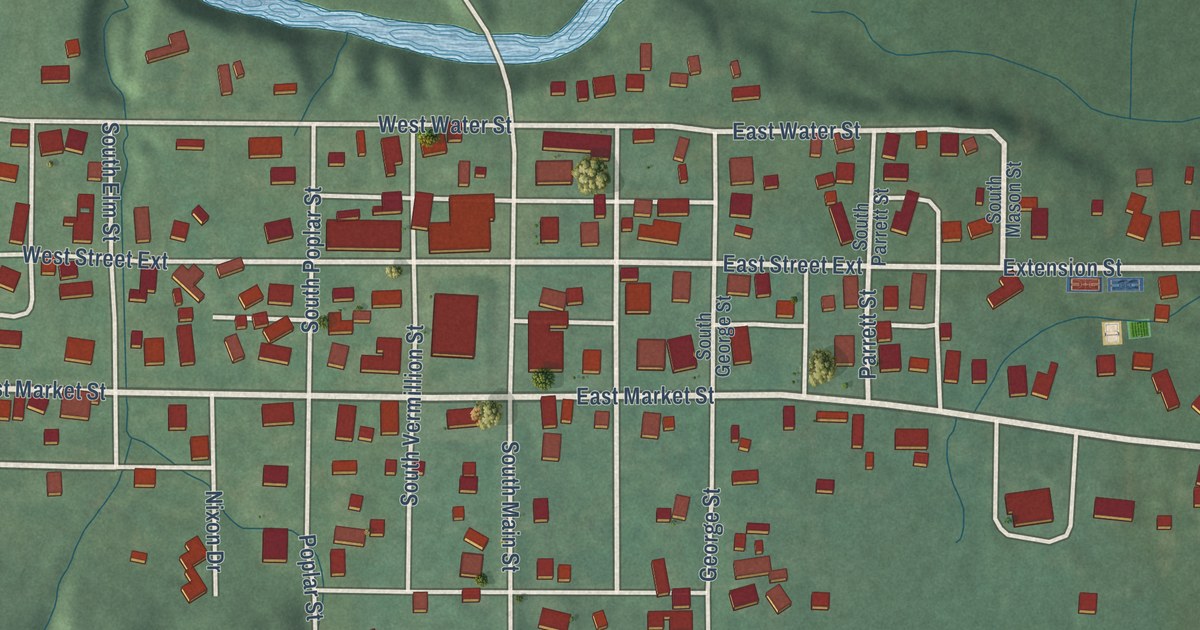
A detailed map of Newport, Indiana, showing every building in its true location, the roads by name, and shaded topographical relief.
Read More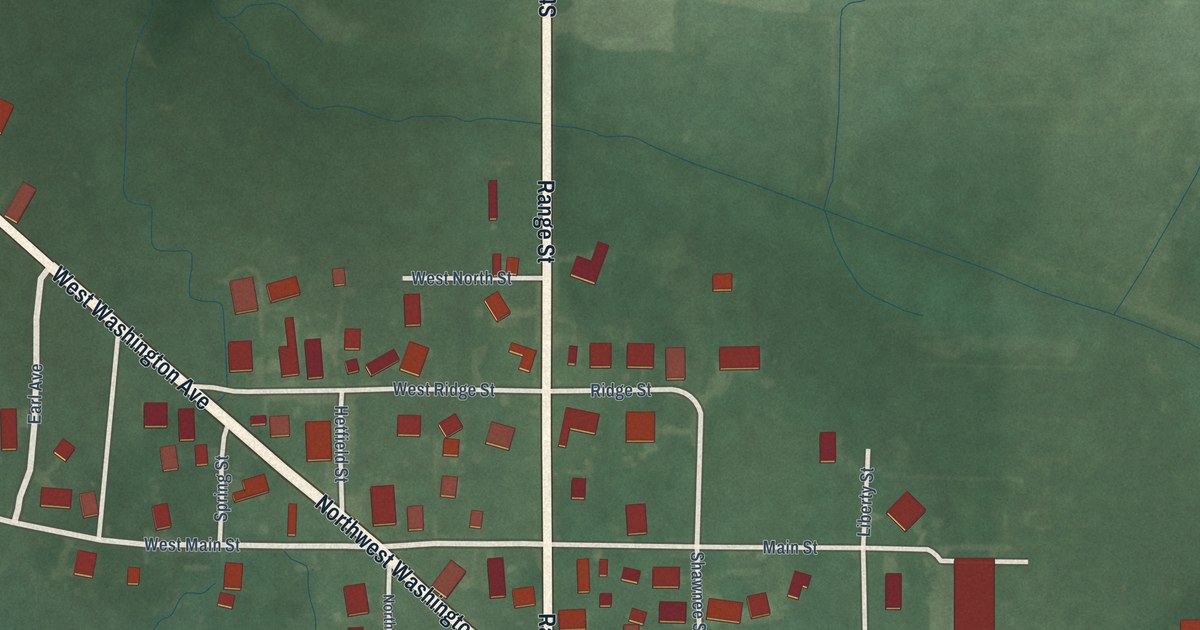
A detailed map of Newtown, Indiana, showing every building in its true location, the roads by name, and shaded topographical relief.
Read More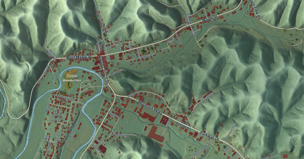
A detailed map of Salyersville, Kentucky, showing every building in its true location, the roads by name, and shaded topographical relief.
Read More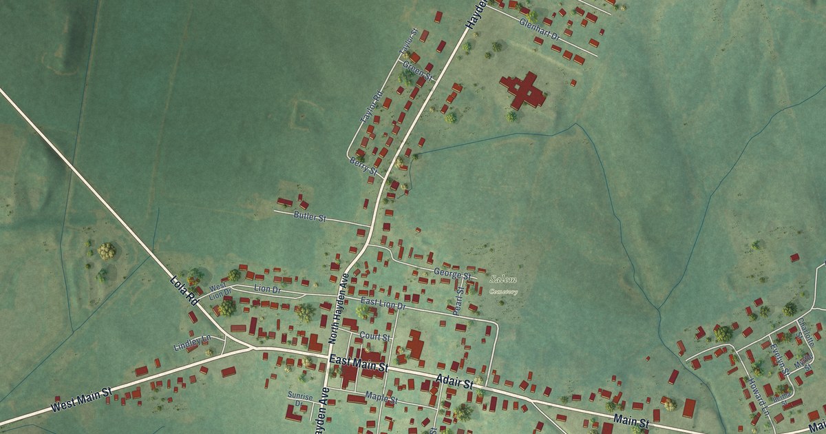
A detailed map of Salem, Kentucky, showing every building in its true location, the roads by name, and shaded topographical relief.
Read More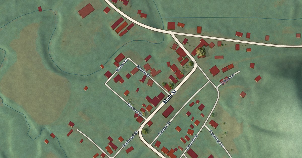
A detailed map of Salt Lick, Kentucky, showing every building in its true location, the roads by name, and shaded topographical relief.
Read More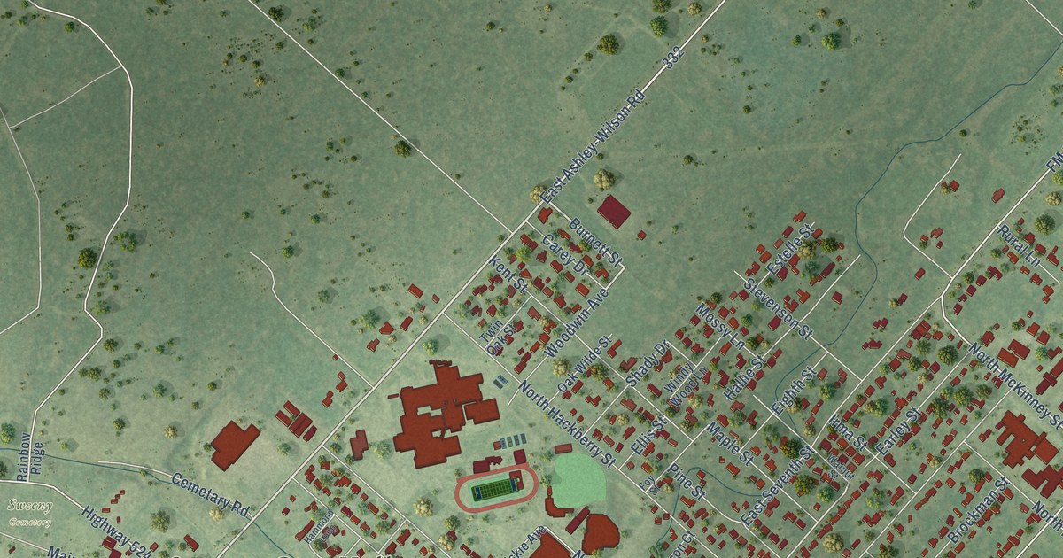
A detailed map of Sweeny, Texas, showing every building in its true location, the roads by name, and shaded topographical relief.
Read More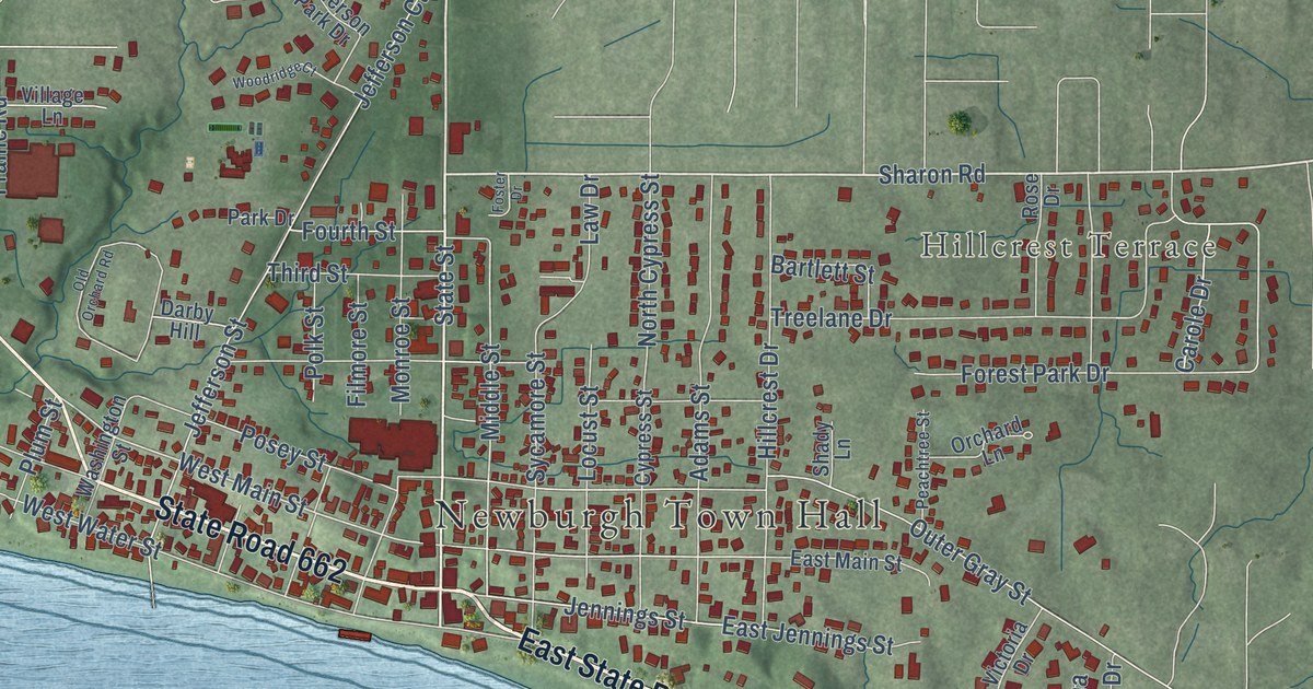
A detailed map of Newburgh, Indiana, showing every building in its true location, the roads by name, and shaded topographical relief.
Read More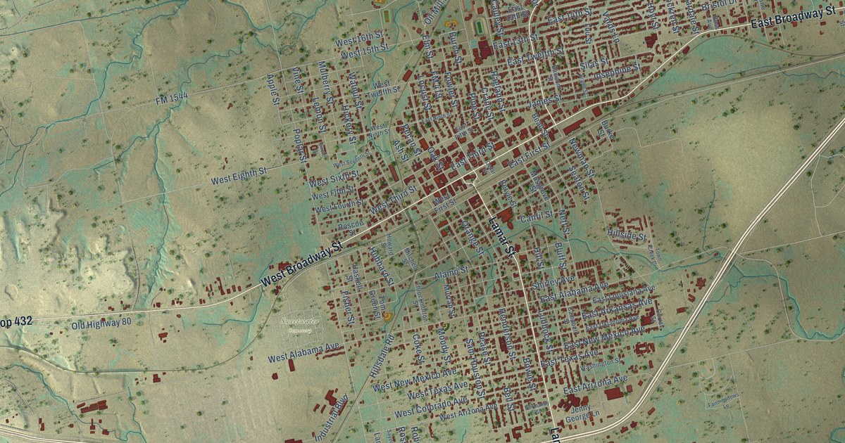
A detailed map of Sweetwater, Texas, showing every building in its true location, the roads by name, and shaded topographical relief.
Read More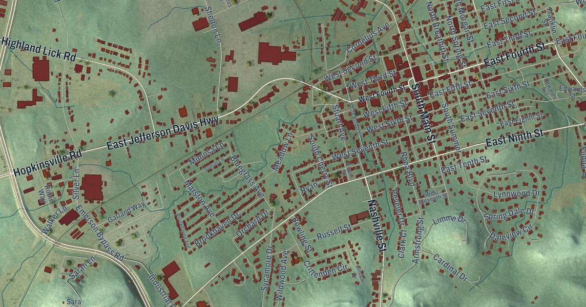
A detailed map of Russellville, Kentucky, showing every building in its true location, the roads by name, and shaded topographical relief.
Read More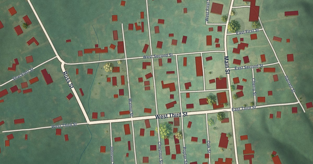
A detailed map of Sacramento, Kentucky, showing every building in its true location, the roads by name, and shaded topographical relief.
Read More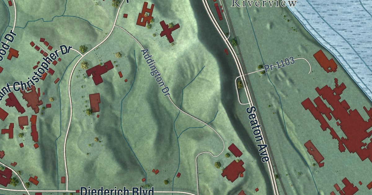
A detailed map of Russell, Kentucky, showing every building in its true location, the roads by name, and shaded topographical relief.
Read More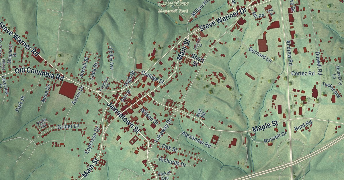
A detailed map of Russell Springs, Kentucky, showing every building in its true location, the roads by name, and shaded topographical relief.
Read More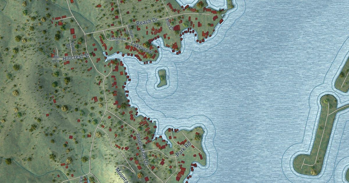
A detailed map of Sunrise Beach Village, Texas, showing every building in its true location, the roads by name, and shaded topographical relief.
Read More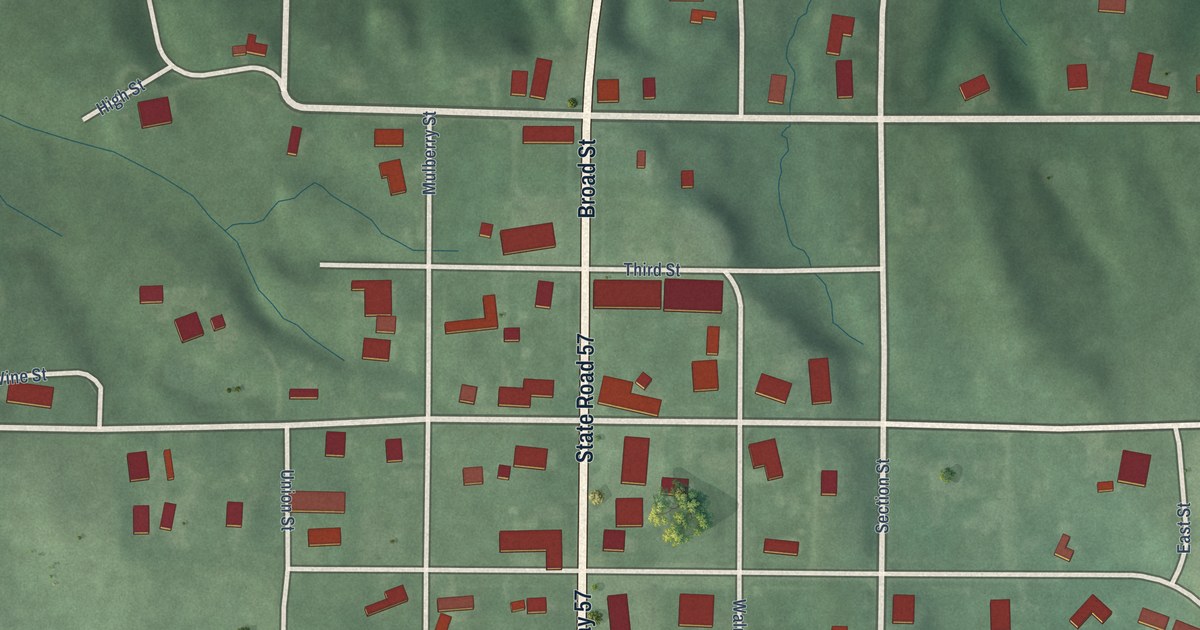
A detailed map of Newberry, Indiana, showing every building in its true location, the roads by name, and shaded topographical relief.
Read More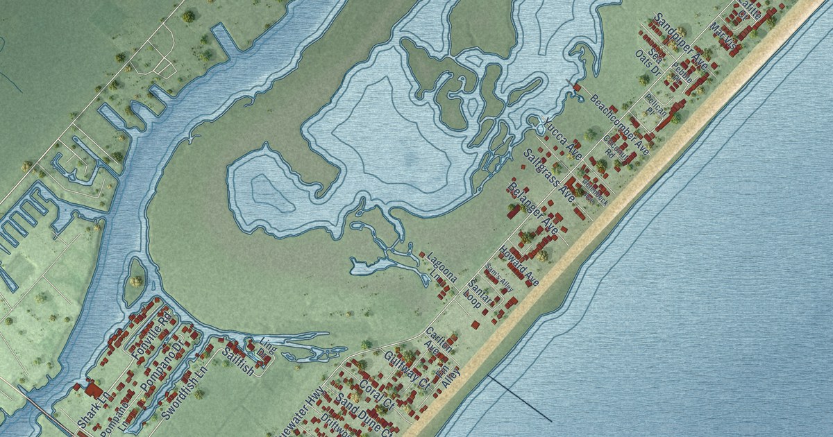
A detailed map of Surfside Beach, Texas, showing every building in its true location, the roads by name, and shaded topographical relief.
Read More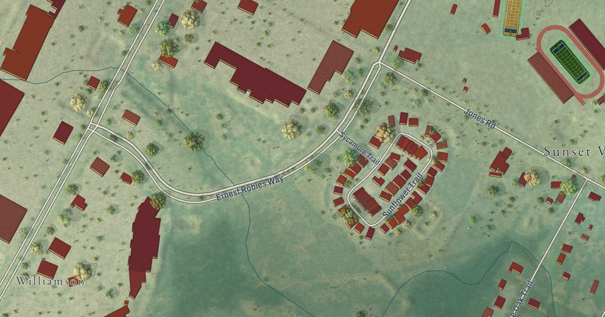
A detailed map of Sunset Valley, Texas, showing every building in its true location, the roads by name, and shaded topographical relief.
Read More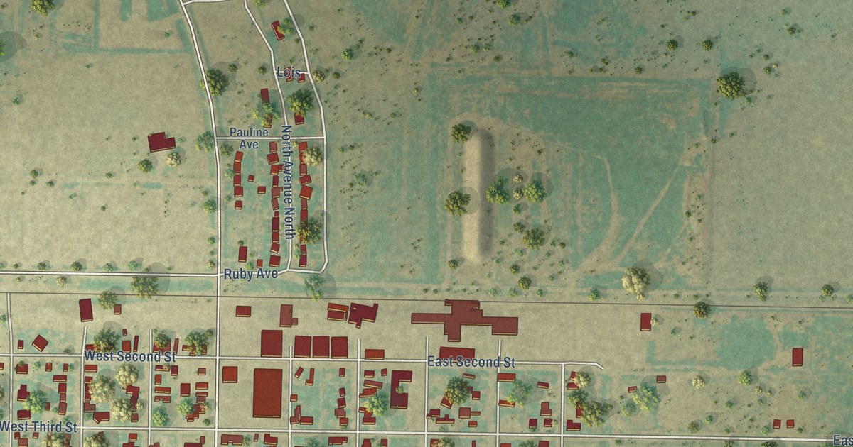
A detailed map of Sunray, Texas, showing every building in its true location, the roads by name, and shaded topographical relief.
Read More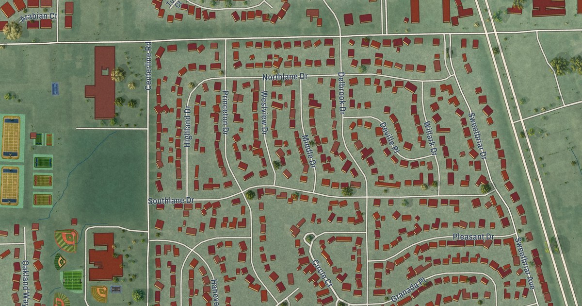
A detailed map of New Whiteland, Indiana, showing every building in its true location, the roads by name, and shaded topographical relief.
Read More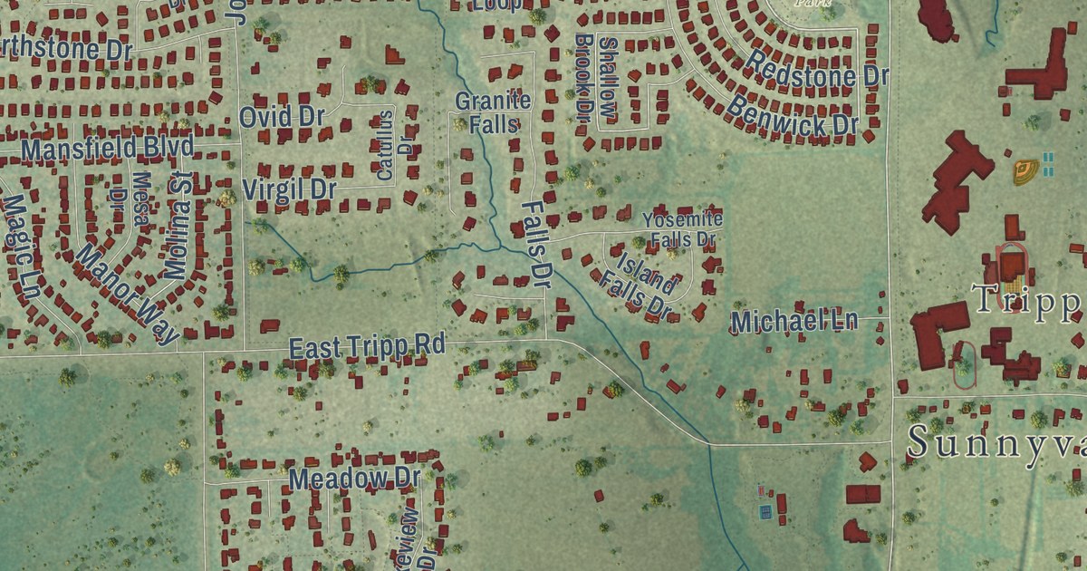
A detailed map of Sunnyvale, Texas, showing every building in its true location, the roads by name, and shaded topographical relief.
Read More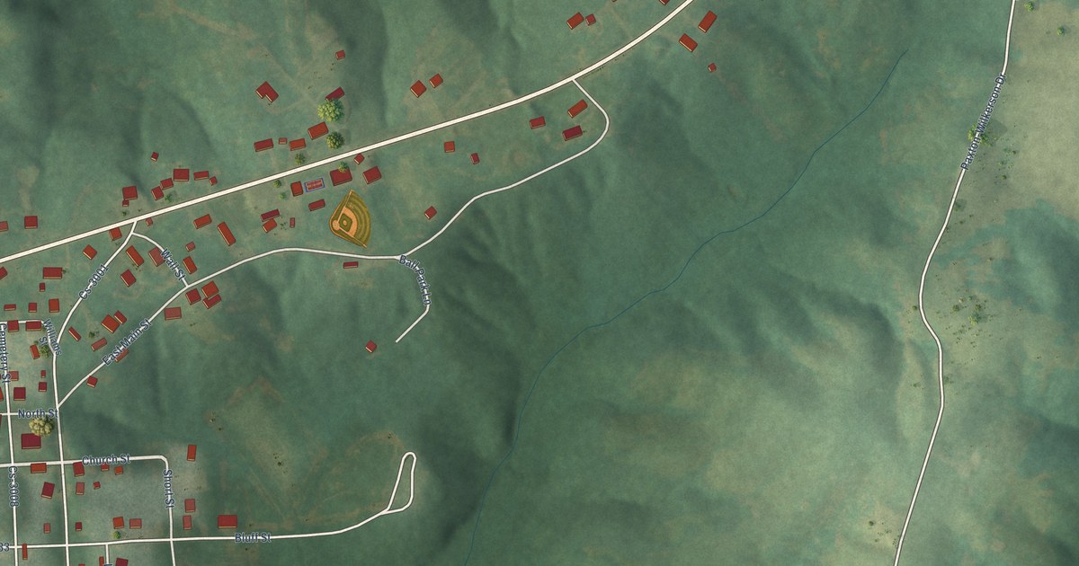
A detailed map of Rockport, Kentucky, showing every building in its true location, the roads by name, and shaded topographical relief.
Read More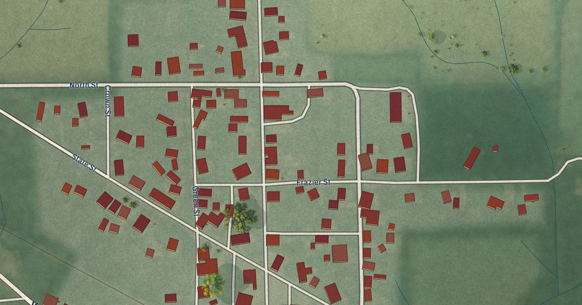
A detailed map of New Ross, Indiana, showing every building in its true location, the roads by name, and shaded topographical relief.
Read More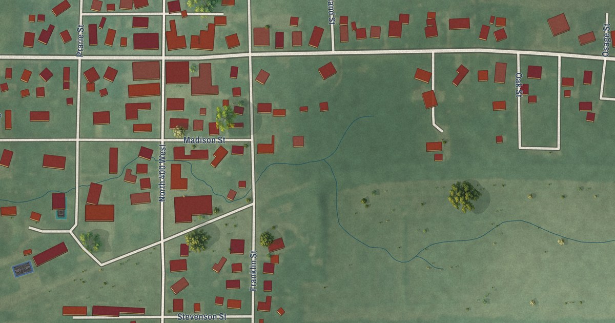
A detailed map of New Richmond, Indiana, showing every building in its true location, the roads by name, and shaded topographical relief.
Read More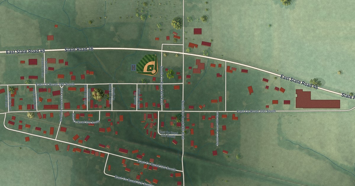
A detailed map of New Point, Indiana, showing every building in its true location, the roads by name, and shaded topographical relief.
Read More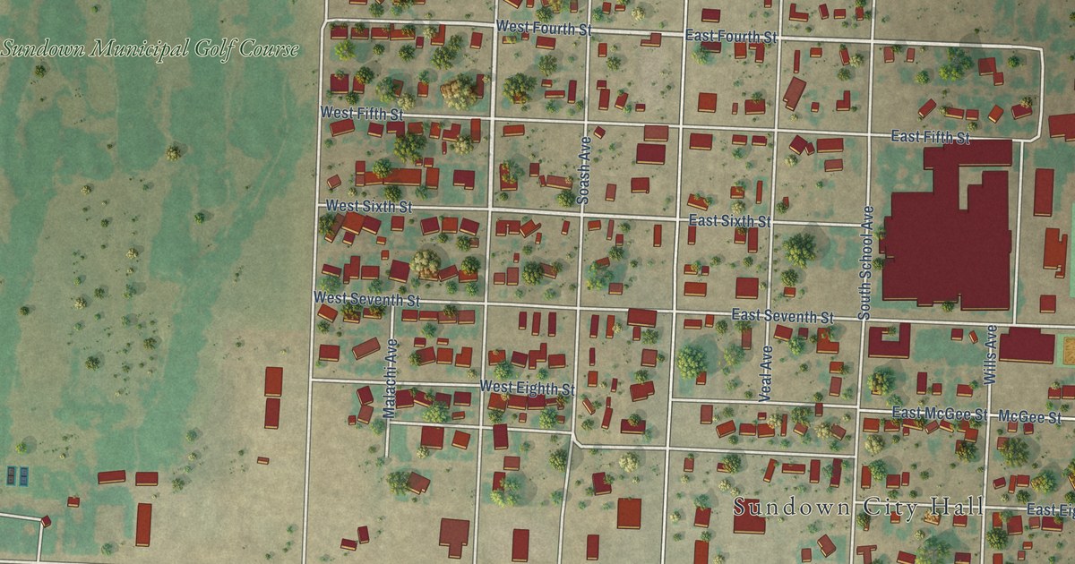
A detailed map of Sundown, Texas, showing every building in its true location, the roads by name, and shaded topographical relief.
Read More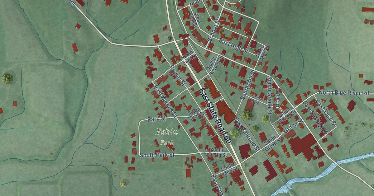
A detailed map of New Pekin, Indiana, showing every building in its true location, the roads by name, and shaded topographical relief.
Read More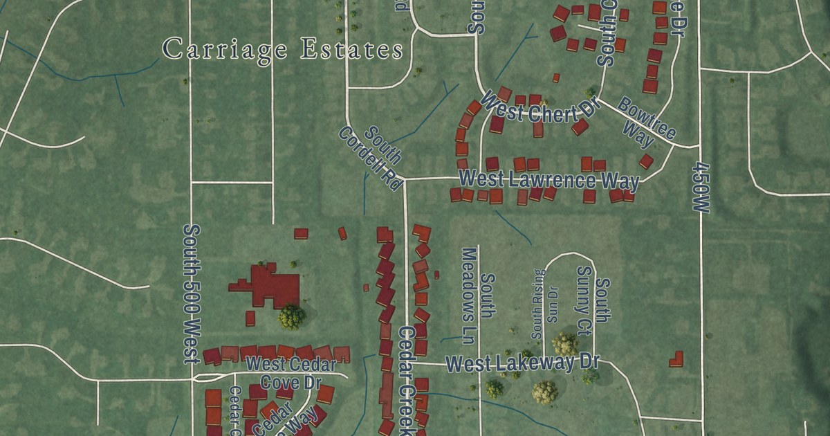
A detailed map of New Palestine, Indiana, showing every building in its true location, the roads by name, and shaded topographical relief.
Read More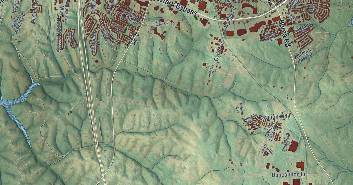
A detailed map of Richmond, Kentucky, showing every building in its true location, the roads by name, and shaded topographical relief.
Read More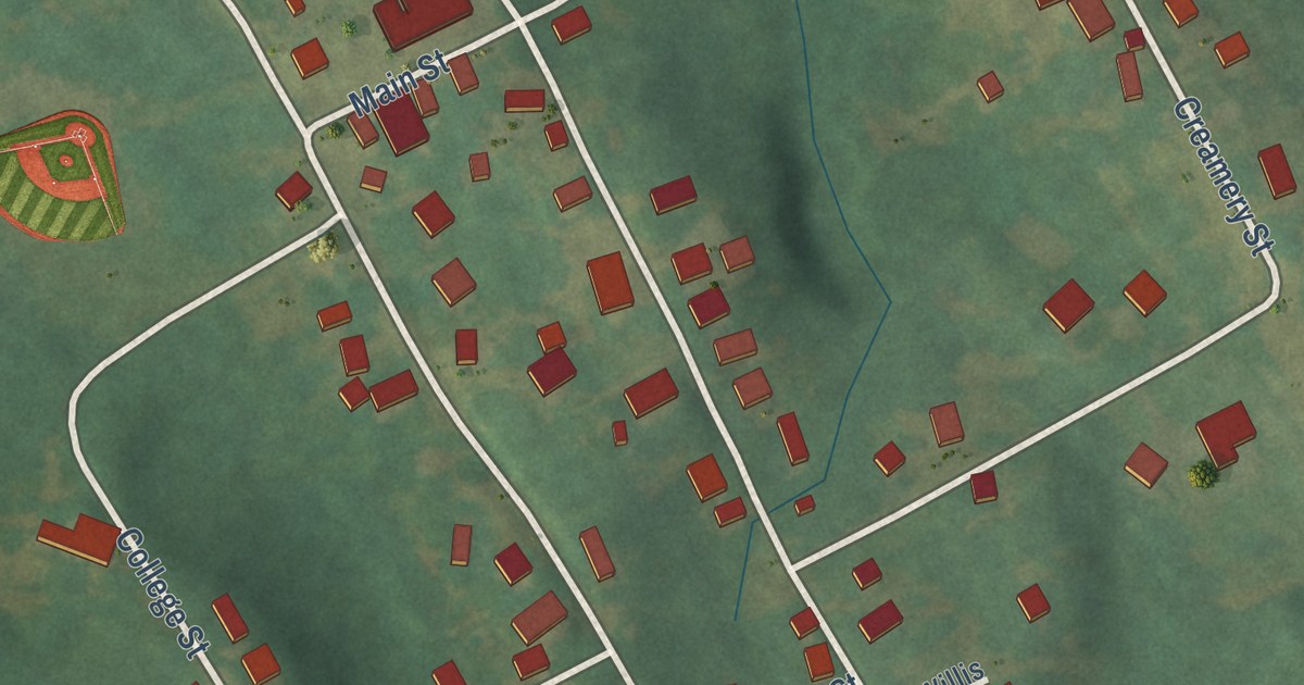
A detailed map of Rochester, Kentucky, showing every building in its true location, the roads by name, and shaded topographical relief.
Read More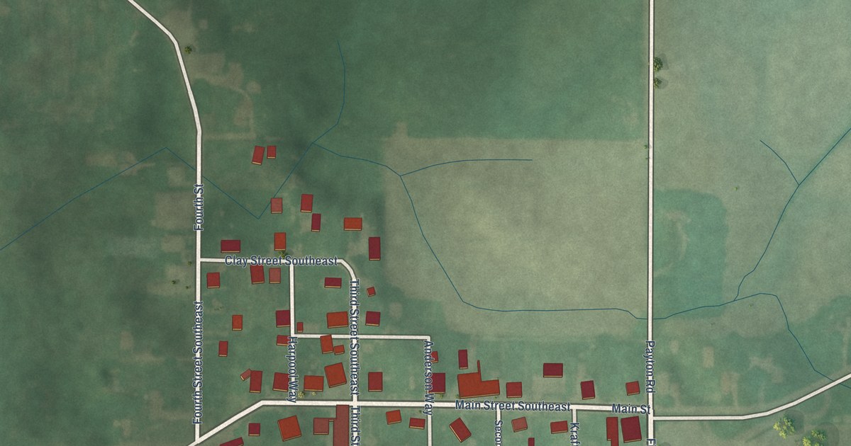
A detailed map of New Middletown, Indiana, showing every building in its true location, the roads by name, and shaded topographical relief.
Read More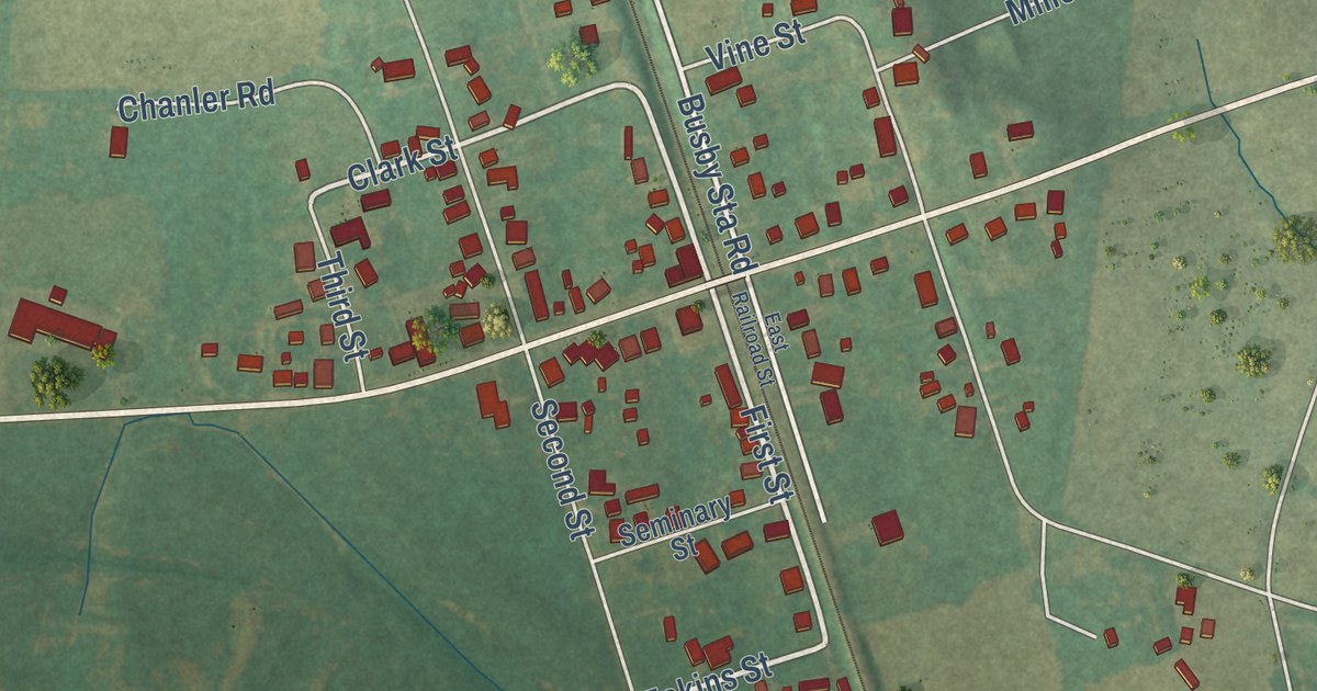
A detailed map of Robards, Kentucky, showing every building in its true location, the roads by name, and shaded topographical relief.
Read More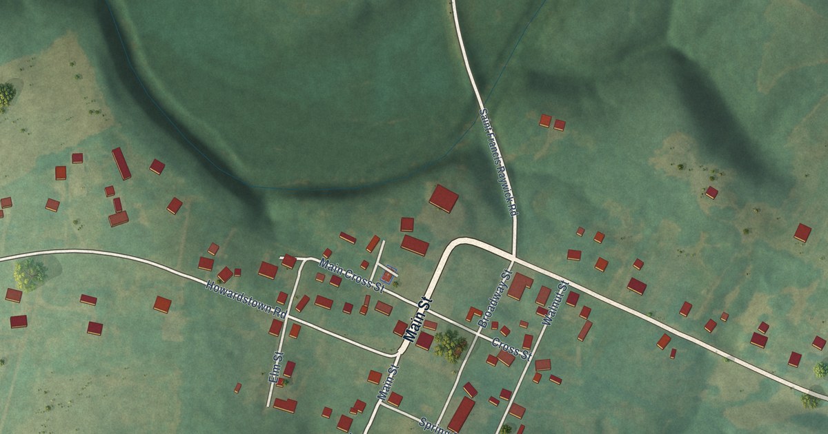
A detailed map of Raywick, Kentucky, showing every building in its true location, the roads by name, and shaded topographical relief.
Read More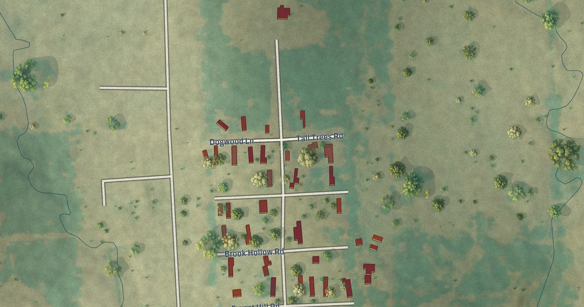
A detailed map of Sun Valley, Texas, showing every building in its true location, the roads by name, and shaded topographical relief.
Read More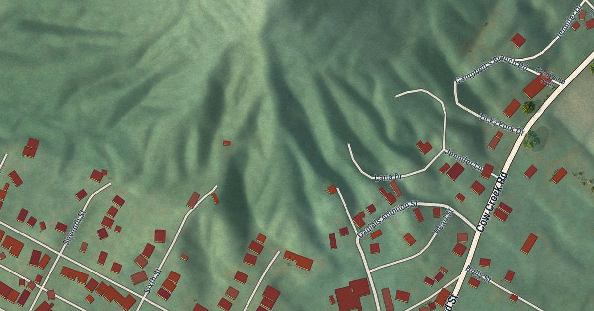
A detailed map of Ravenna, Kentucky, showing every building in its true location, the roads by name, and shaded topographical relief.
Read More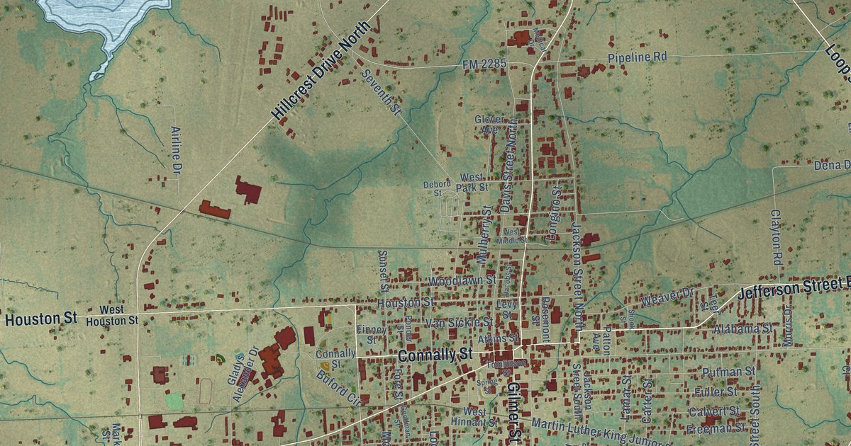
A detailed map of Sulphur Springs, Texas, showing every building in its true location, the roads by name, and shaded topographical relief.
Read More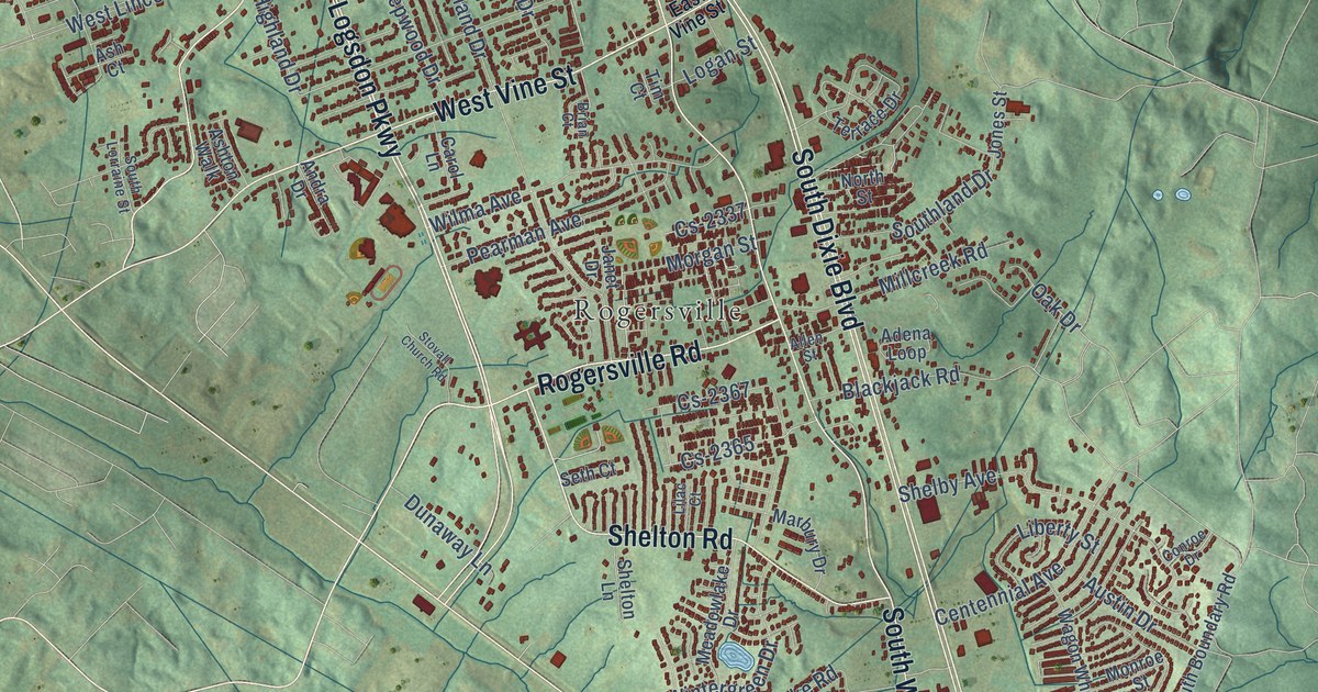
A detailed map of Radcliff, Kentucky, showing every building in its true location, the roads by name, and shaded topographical relief.
Read More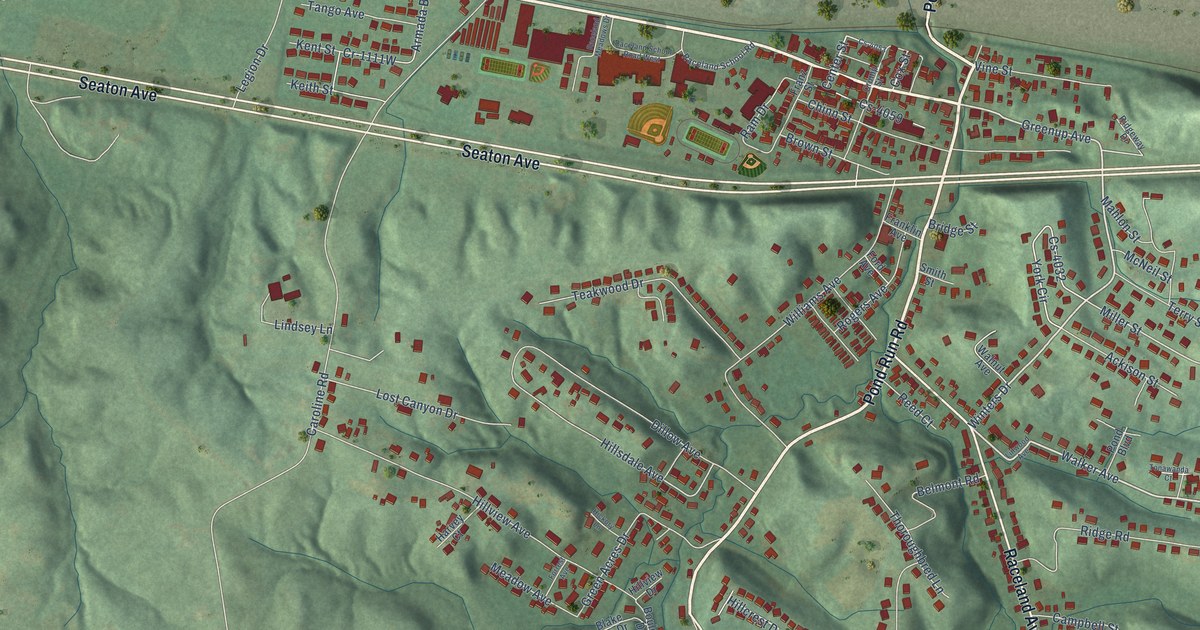
A detailed map of Raceland, Kentucky, showing every building in its true location, the roads by name, and shaded topographical relief.
Read More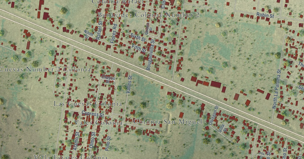
A detailed map of Sullivan City, Texas, showing every building in its true location, the roads by name, and shaded topographical relief.
Read More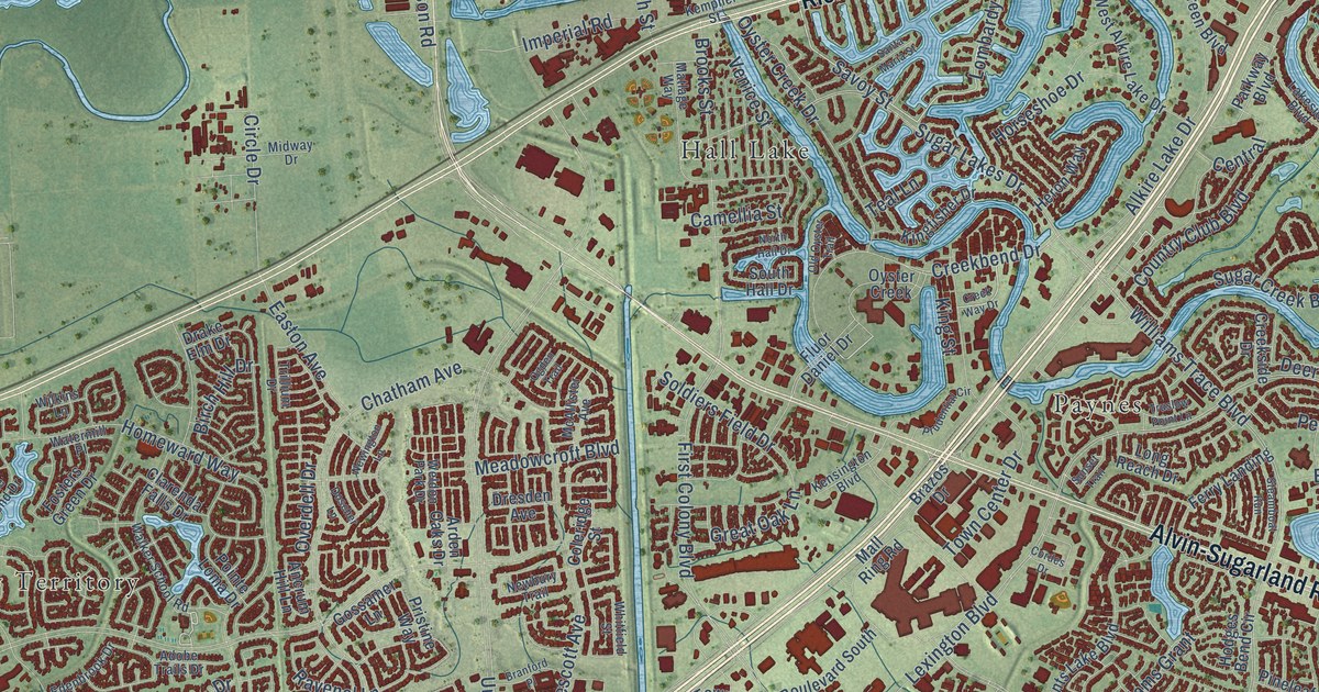
A detailed map of Sugar Land, Texas, showing every building in its true location, the roads by name, and shaded topographical relief.
Read More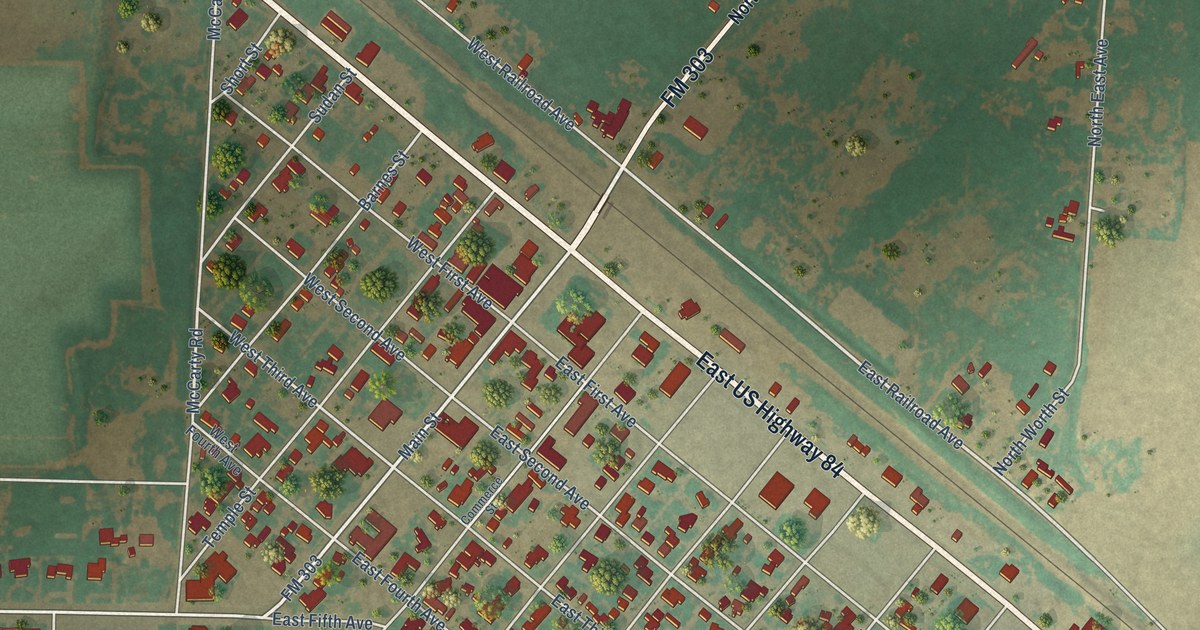
A detailed map of Sudan, Texas, showing every building in its true location, the roads by name, and shaded topographical relief.
Read More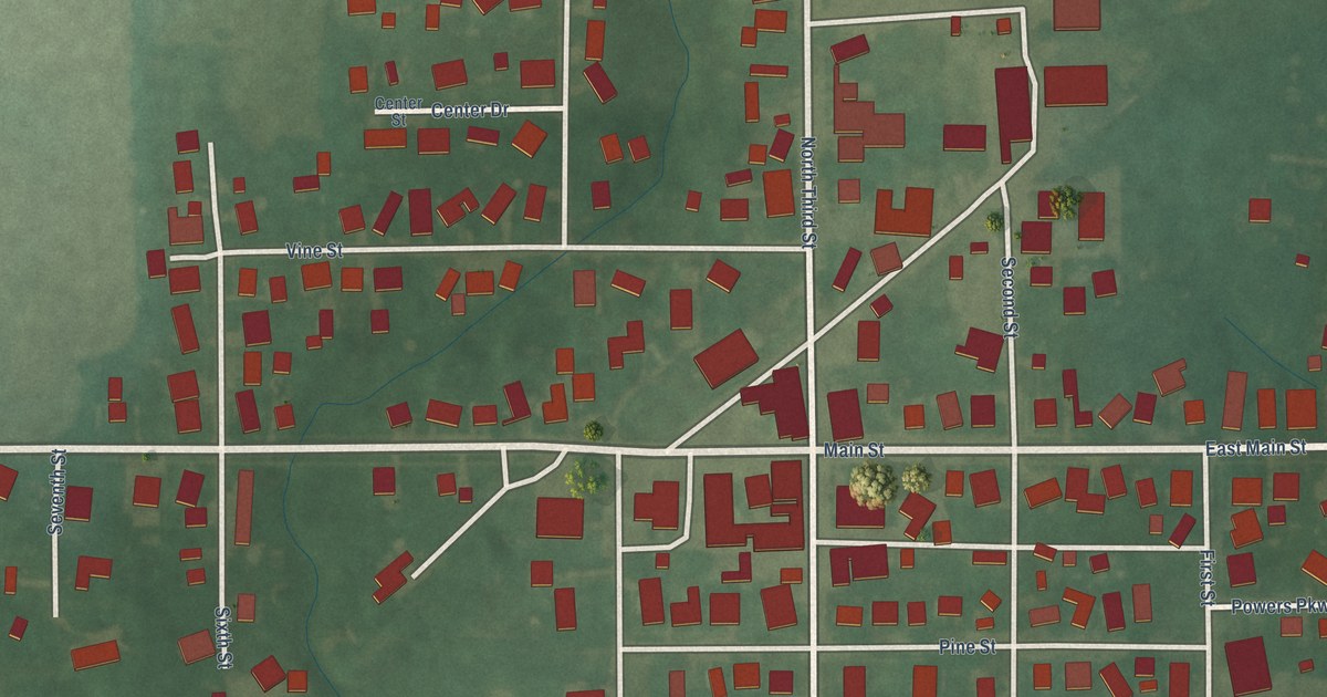
A detailed map of New Market, Indiana, showing every building in its true location, the roads by name, and shaded topographical relief.
Read More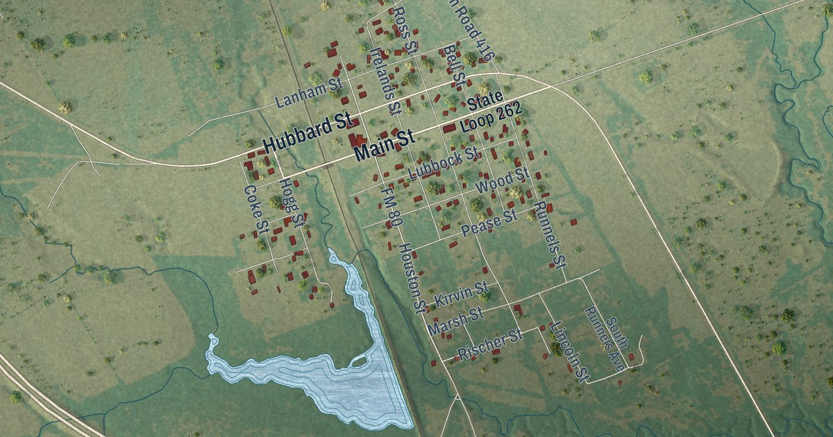
A detailed map of Streetman, Texas, showing every building in its true location, the roads by name, and shaded topographical relief.
Read More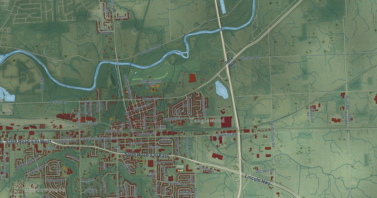
A detailed map of New Haven, Indiana, showing every building in its true location, the roads by name, and shaded topographical relief.
Read More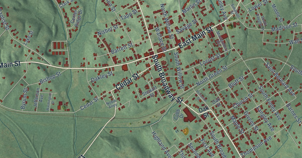
A detailed map of Providence, Kentucky, showing every building in its true location, the roads by name, and shaded topographical relief.
Read More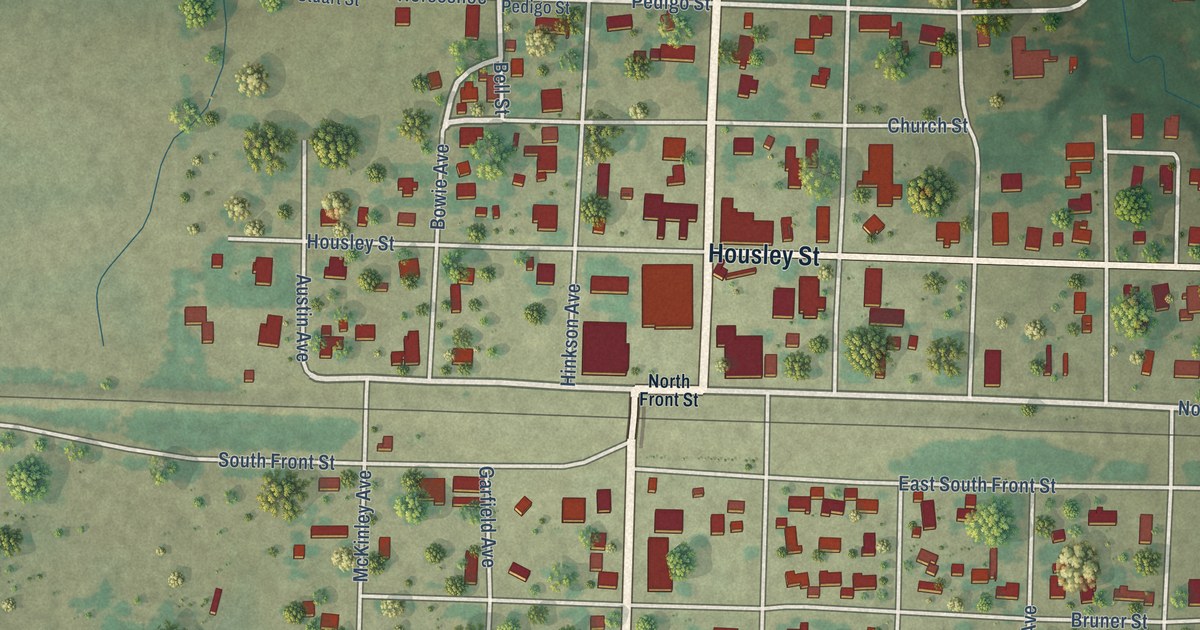
A detailed map of Strawn, Texas, showing every building in its true location, the roads by name, and shaded topographical relief.
Read More















