Detailed Map of New Harmony, Indiana
A detailed map of New Harmony, Indiana, showing every building in its true location, the roads by name, and shaded topographical relief.
Read More
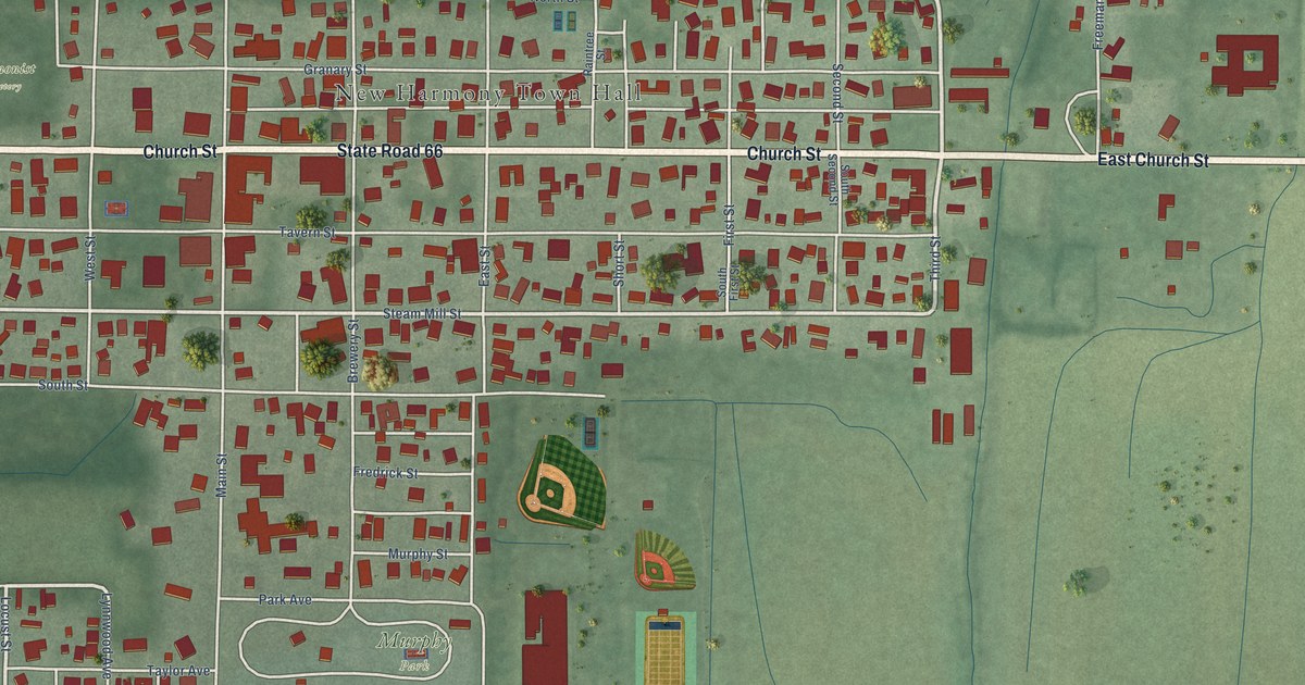
A detailed map of New Harmony, Indiana, showing every building in its true location, the roads by name, and shaded topographical relief.
Read More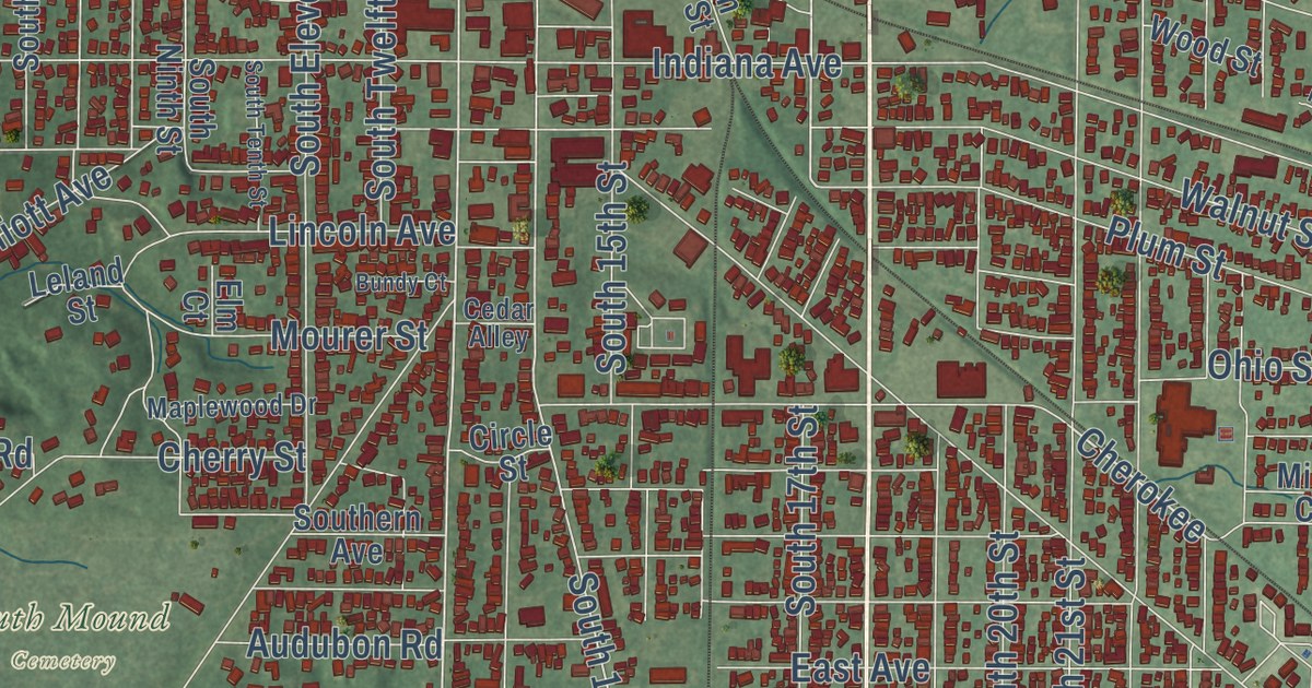
A detailed map of New Castle, Indiana, showing every building in its true location, the roads by name, and shaded topographical relief.
Read More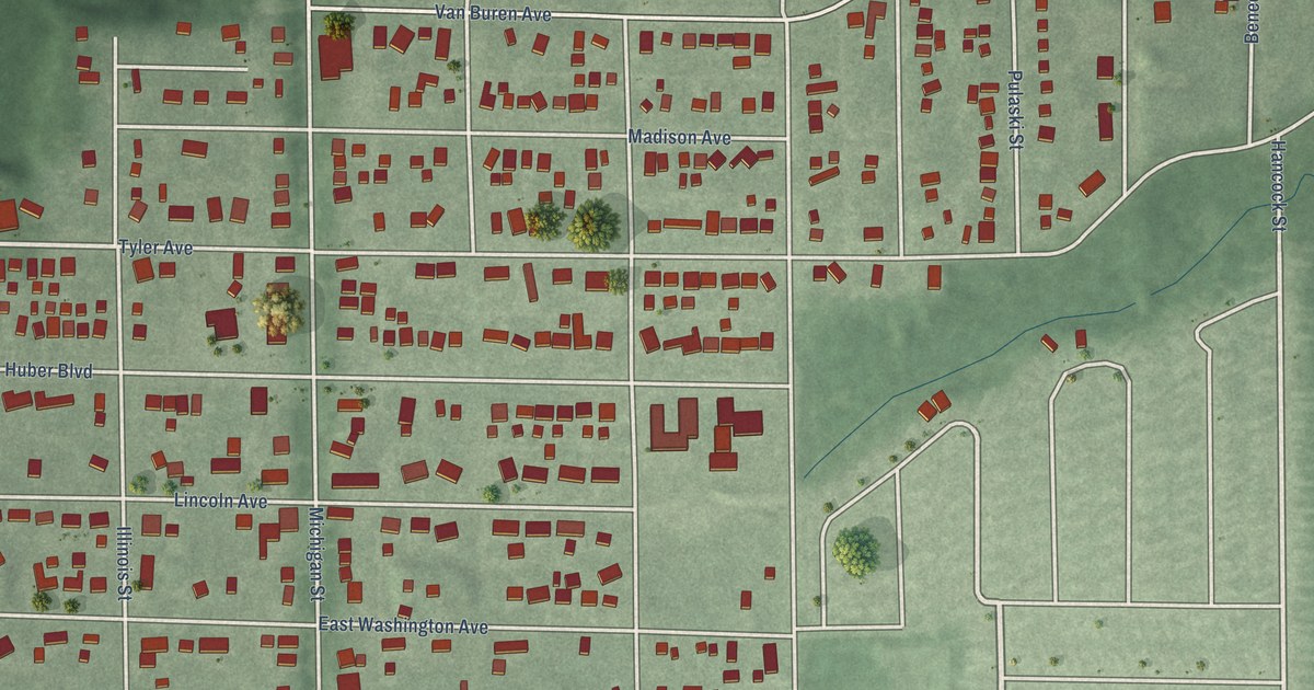
A detailed map of New Chicago, Indiana, showing every building in its true location, the roads by name, and shaded topographical relief.
Read More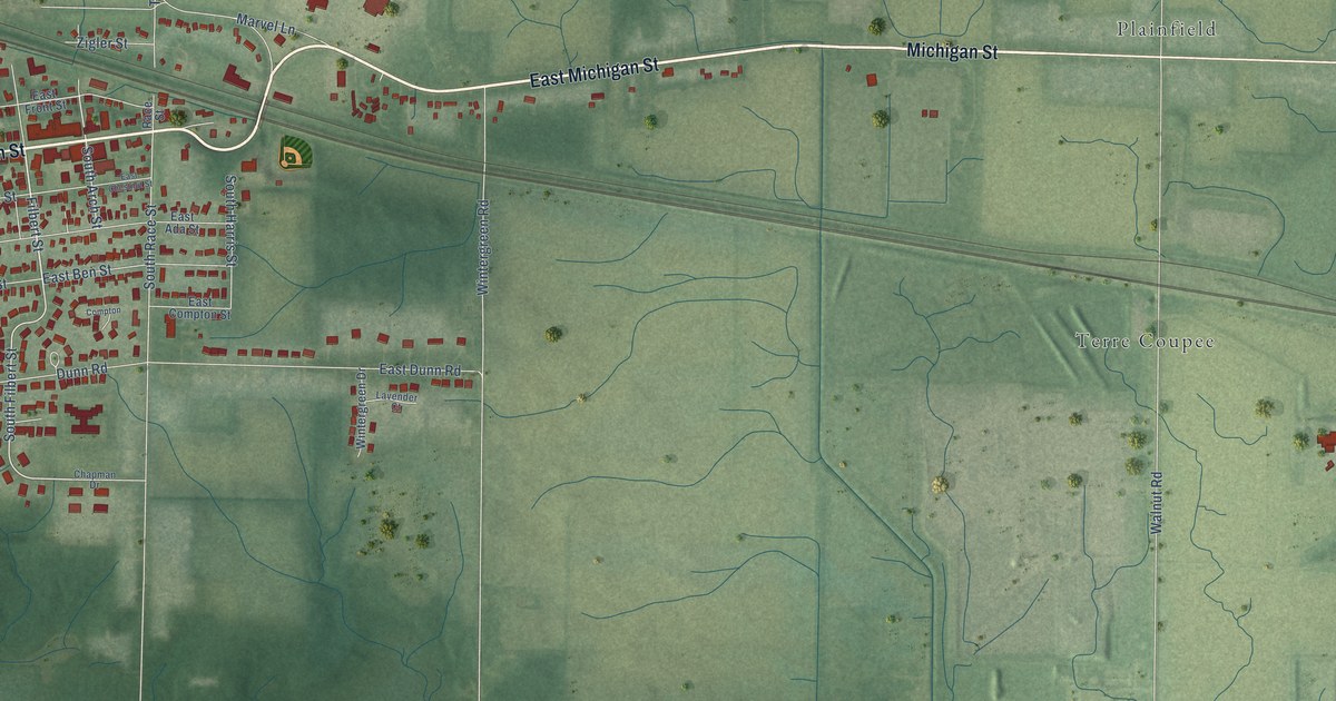
A detailed map of New Carlisle, Indiana, showing every building in its true location, the roads by name, and shaded topographical relief.
Read More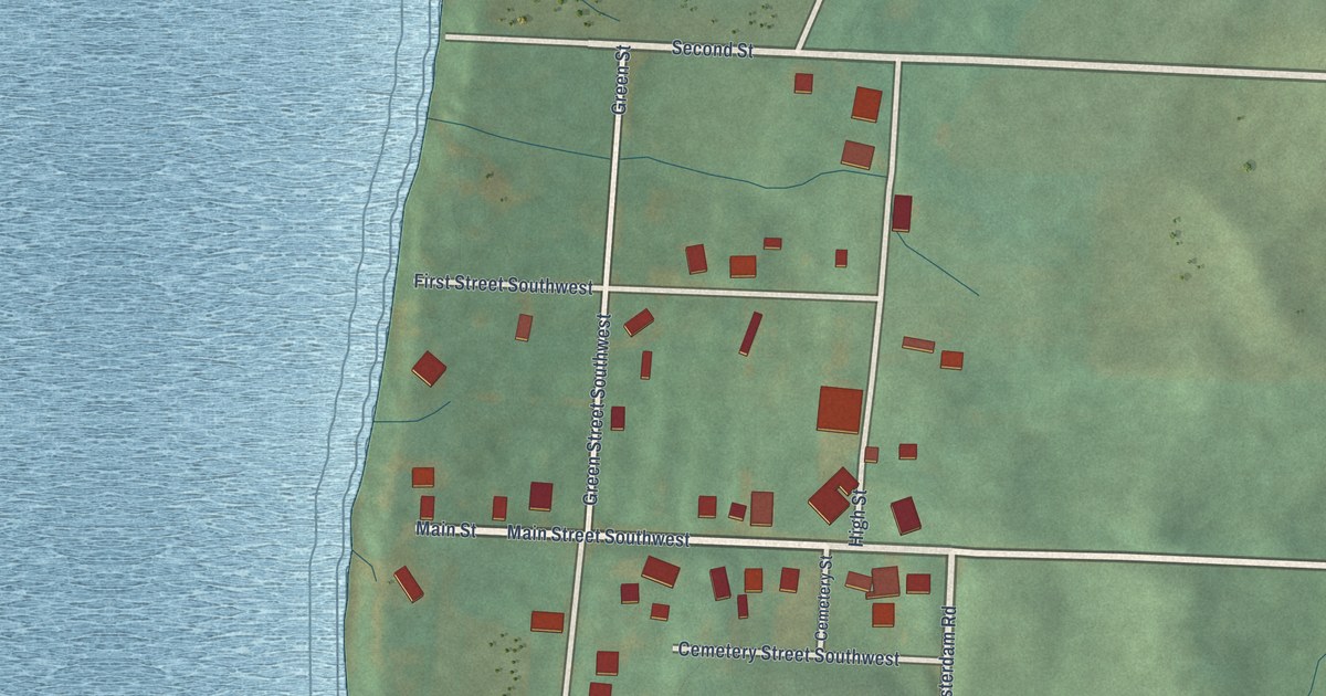
A detailed map of New Amsterdam, Indiana, showing every building in its true location, the roads by name, and shaded topographical relief.
Read More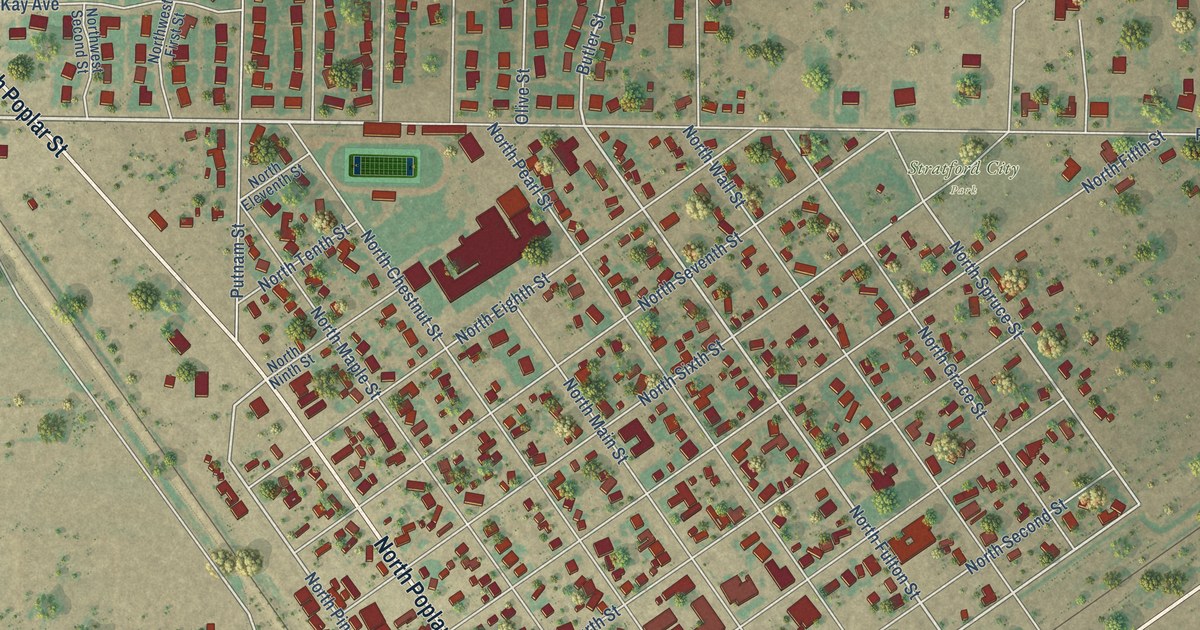
A detailed map of Stratford, Texas, showing every building in its true location, the roads by name, and shaded topographical relief.
Read More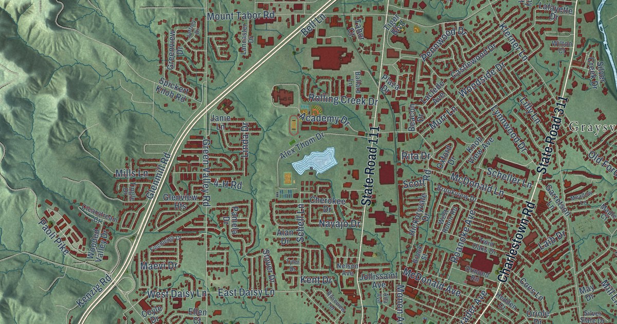
A detailed map of New Albany, Indiana, showing every building in its true location, the roads by name, and shaded topographical relief.
Read More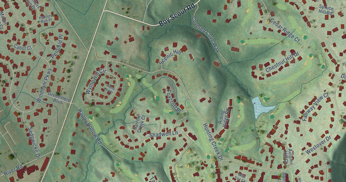
A detailed map of Prospect, Kentucky, showing every building in its true location, the roads by name, and shaded topographical relief.
Read More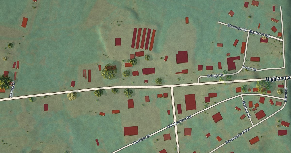
A detailed map of Prestonville, Kentucky, showing every building in its true location, the roads by name, and shaded topographical relief.
Read More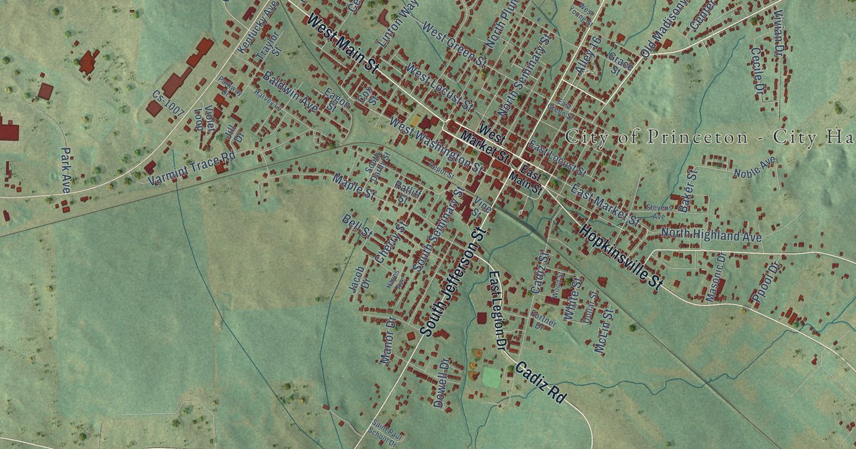
A detailed map of Princeton, Kentucky, showing every building in its true location, the roads by name, and shaded topographical relief.
Read More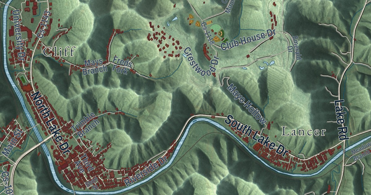
A detailed map of Prestonsburg, Kentucky, showing every building in its true location, the roads by name, and shaded topographical relief.
Read More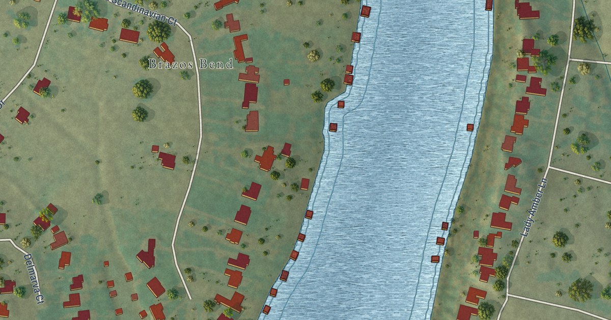
A detailed map of Stockton Bend, Texas, showing every building in its true location, the roads by name, and shaded topographical relief.
Read More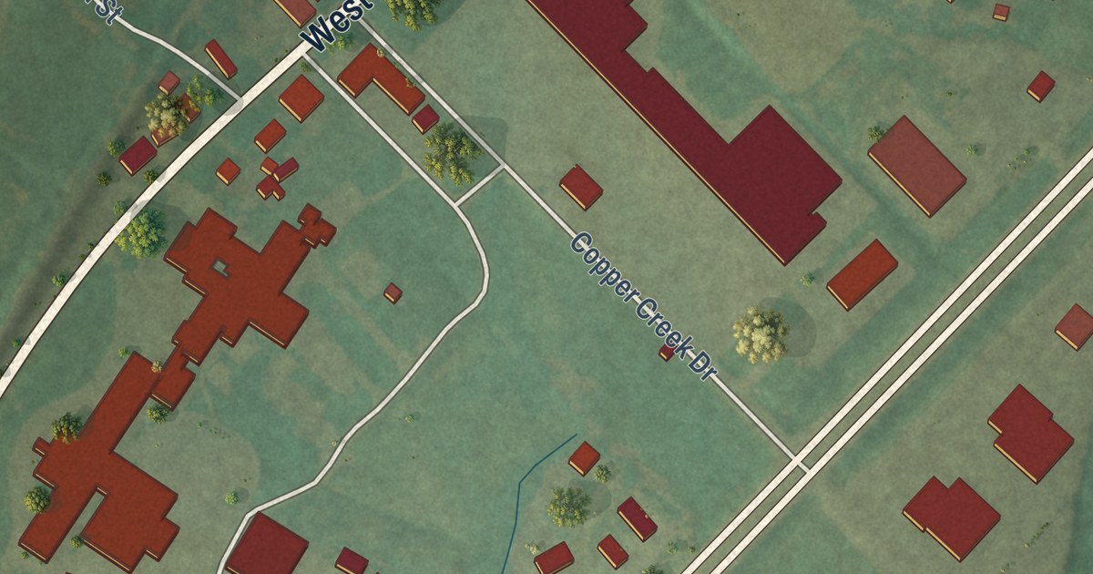
A detailed map of Powderly, Kentucky, showing every building in its true location, the roads by name, and shaded topographical relief.
Read More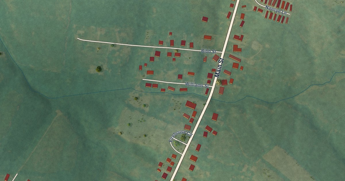
A detailed map of Pleasureville, Kentucky, showing every building in its true location, the roads by name, and shaded topographical relief.
Read More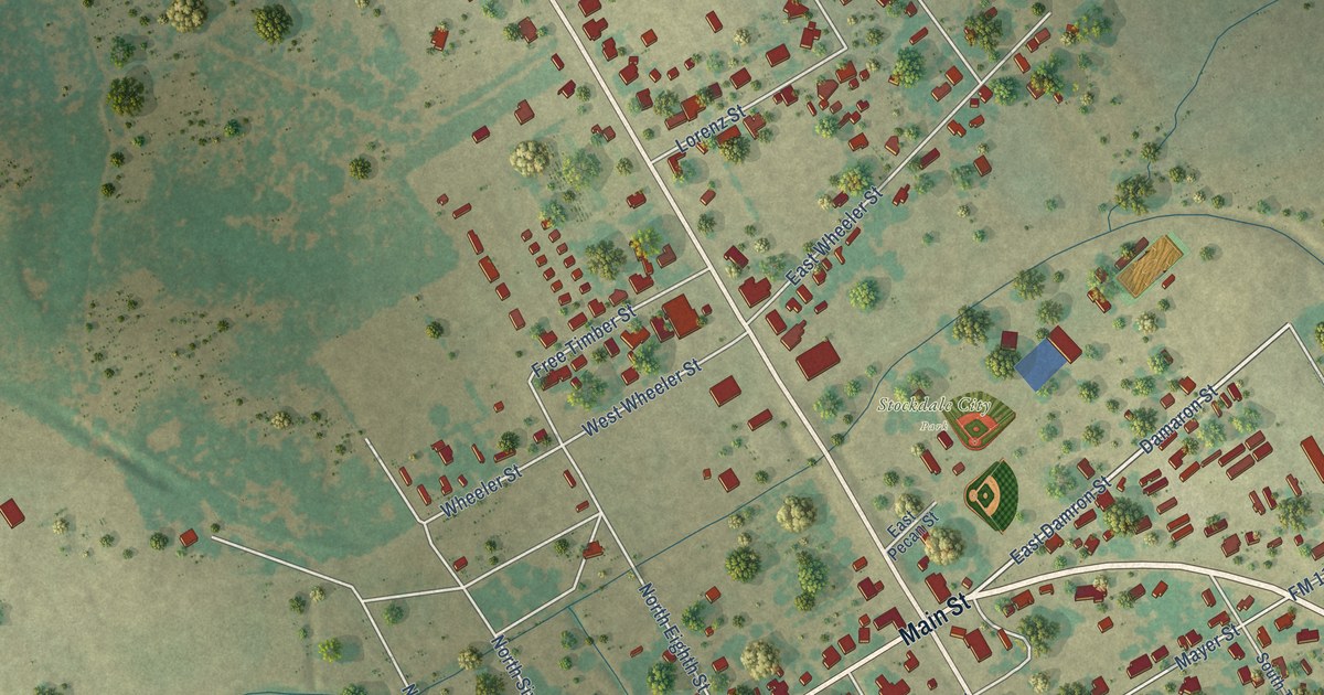
A detailed map of Stockdale, Texas, showing every building in its true location, the roads by name, and shaded topographical relief.
Read More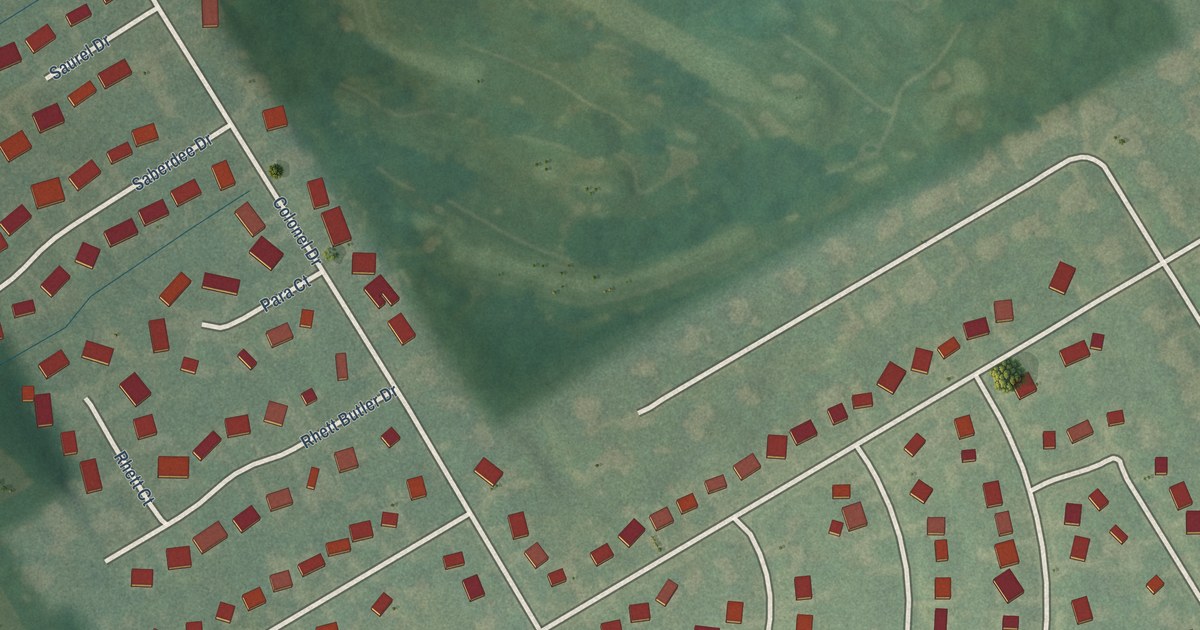
A detailed map of Plantation, Kentucky, showing every building in its true location, the roads by name, and shaded topographical relief.
Read More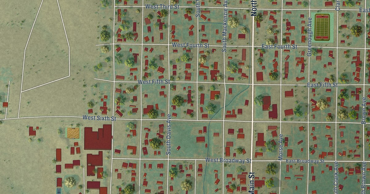
A detailed map of Stinnett, Texas, showing every building in its true location, the roads by name, and shaded topographical relief.
Read More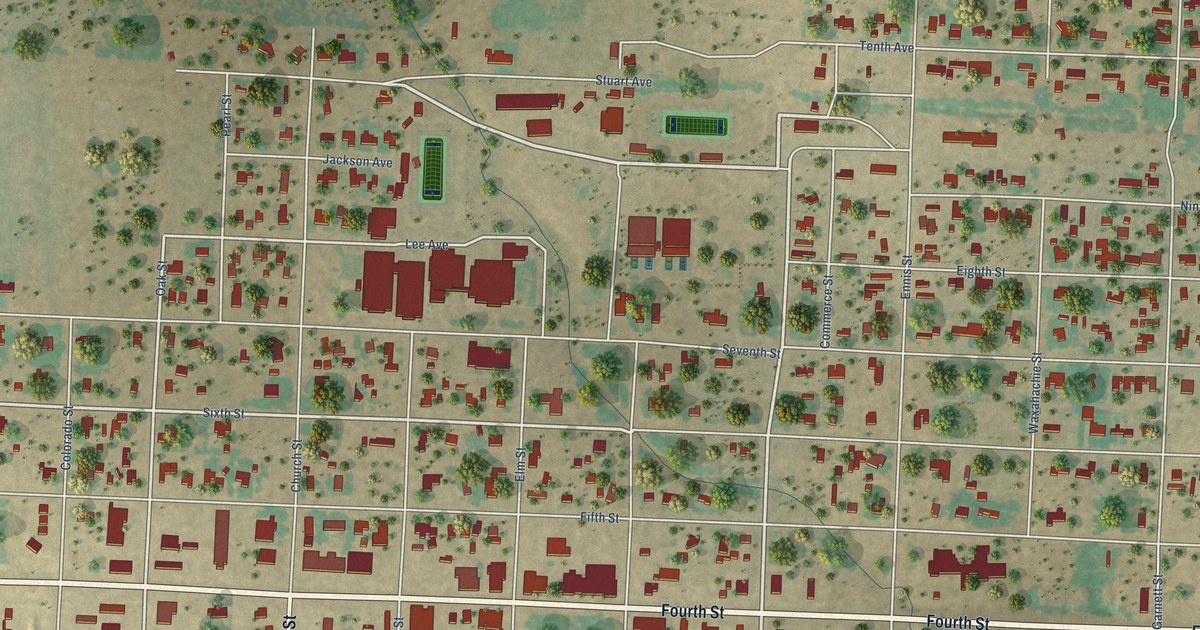
A detailed map of Sterling City, Texas, showing every building in its true location, the roads by name, and shaded topographical relief.
Read More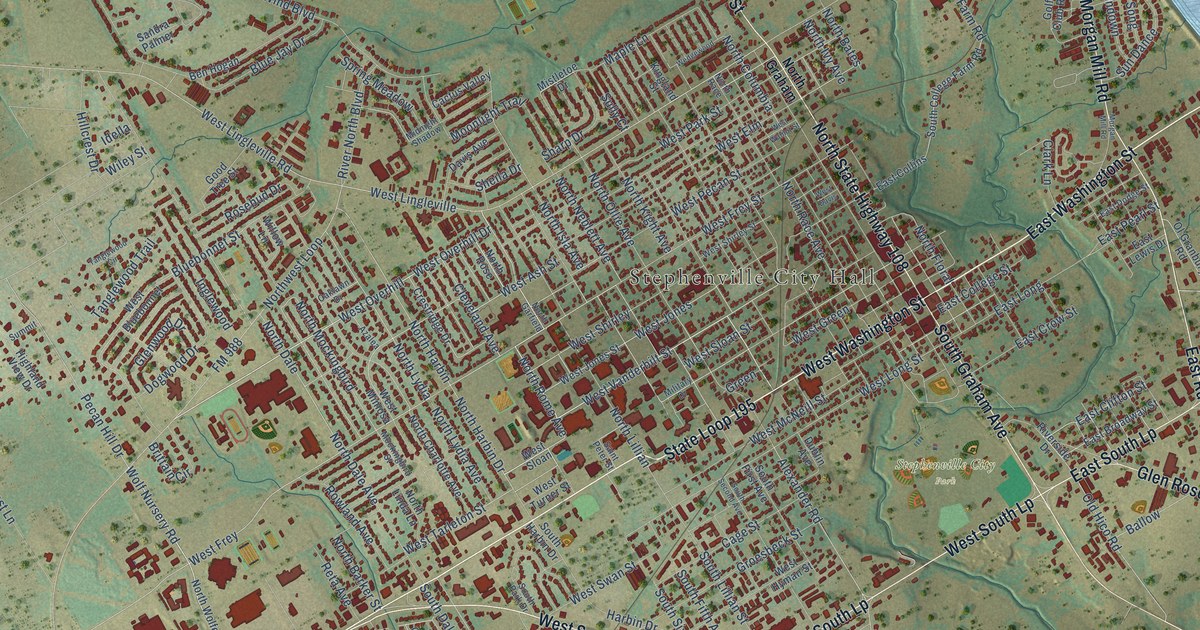
A detailed map of Stephenville, Texas, showing every building in its true location, the roads by name, and shaded topographical relief.
Read More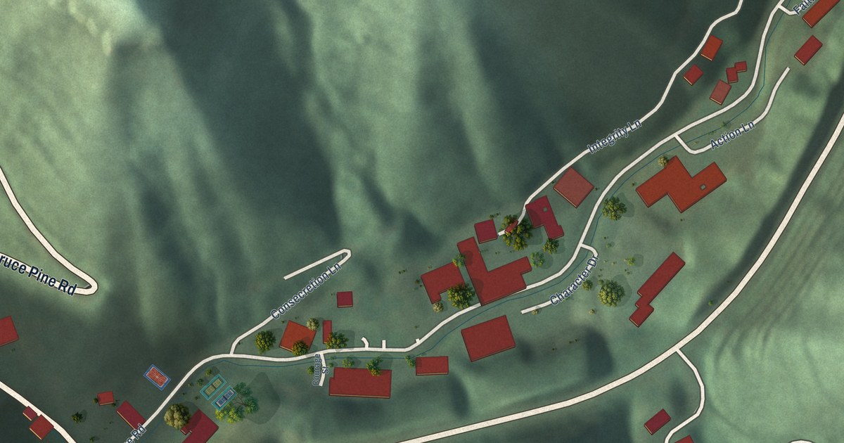
A detailed map of Pippa Passes, Kentucky, showing every building in its true location, the roads by name, and shaded topographical relief.
Read More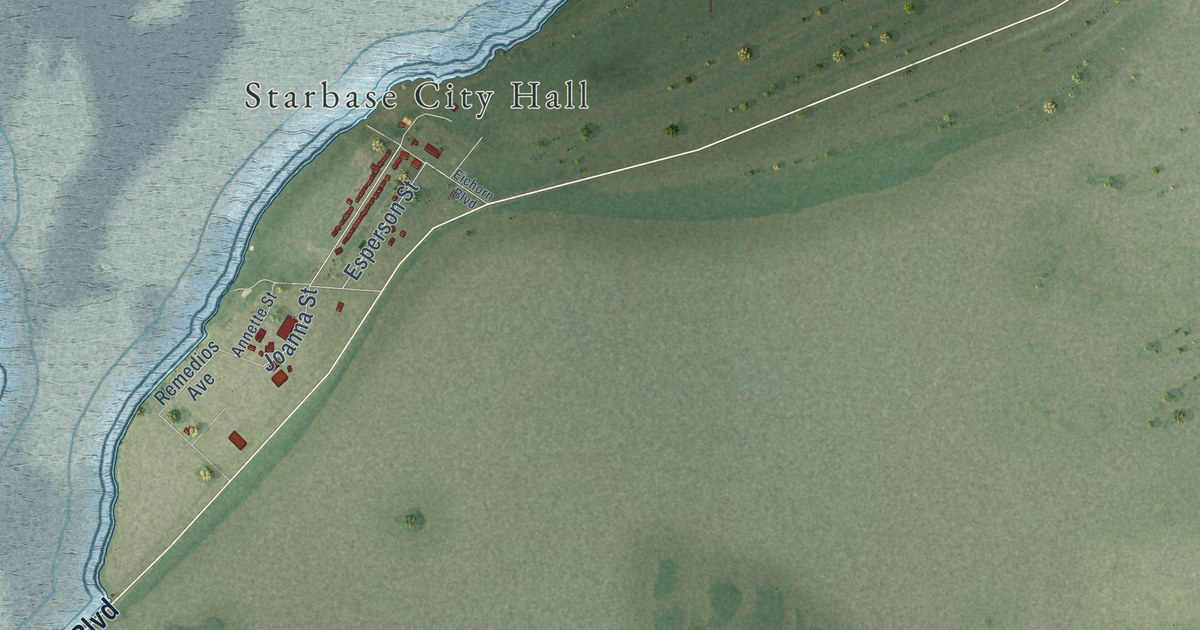
A detailed map of Starbase, Texas, showing every building in its true location, the roads by name, and shaded topographical relief.
Read More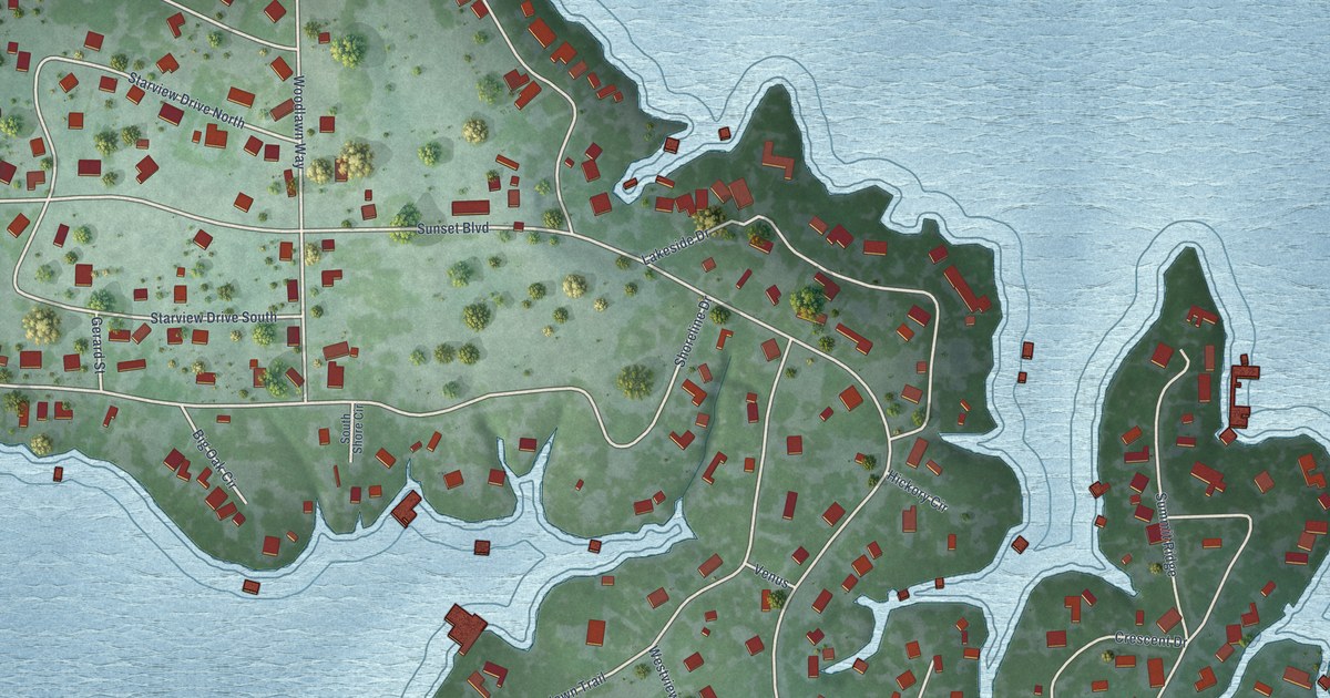
A detailed map of Star Harbor, Texas, showing every building in its true location, the roads by name, and shaded topographical relief.
Read More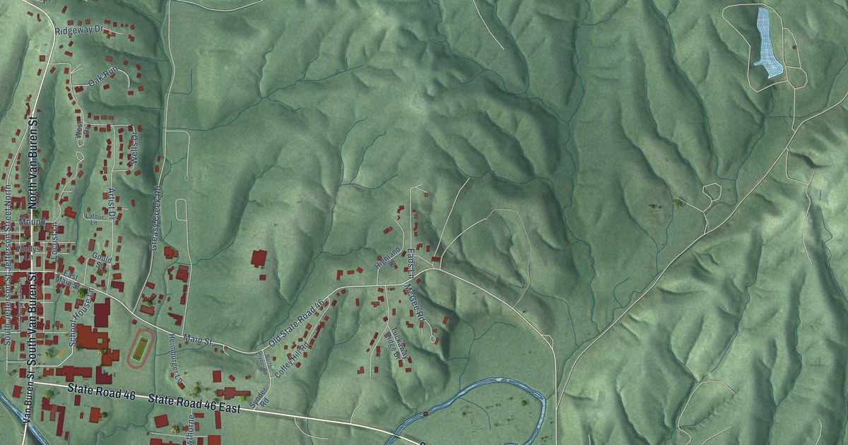
A detailed map of Nashville, Indiana, showing every building in its true location, the roads by name, and shaded topographical relief.
Read More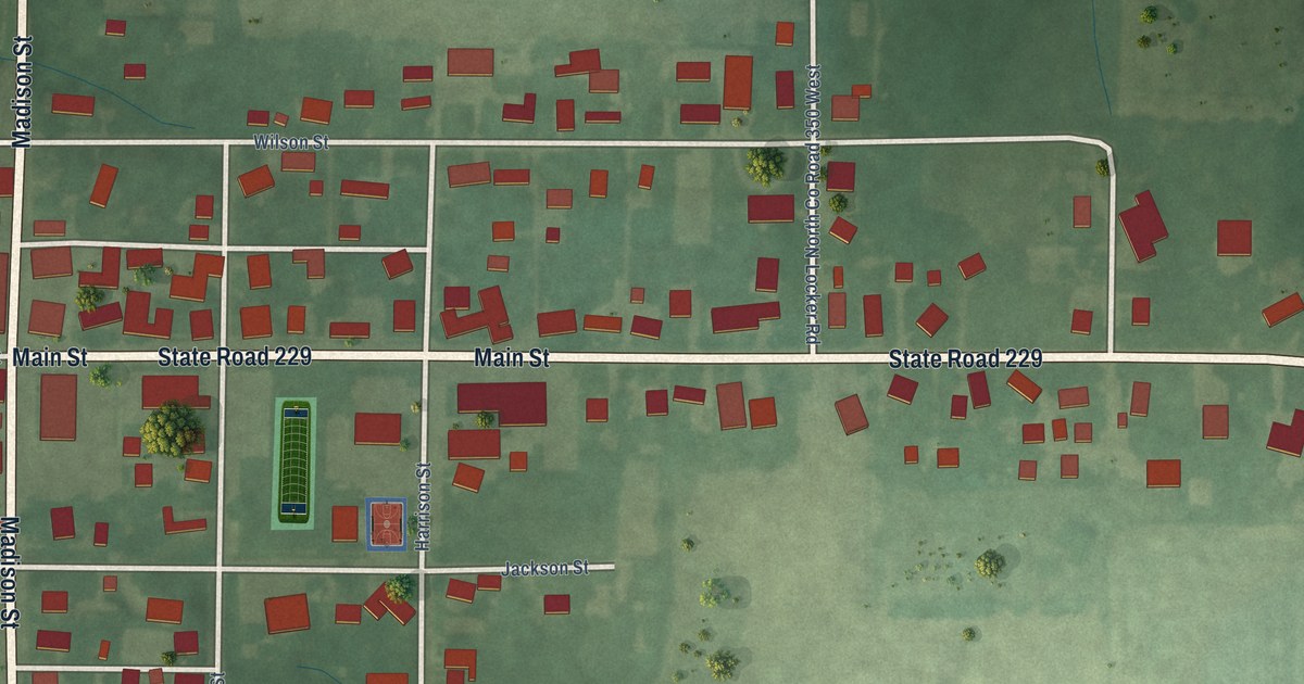
A detailed map of Napoleon, Indiana, showing every building in its true location, the roads by name, and shaded topographical relief.
Read More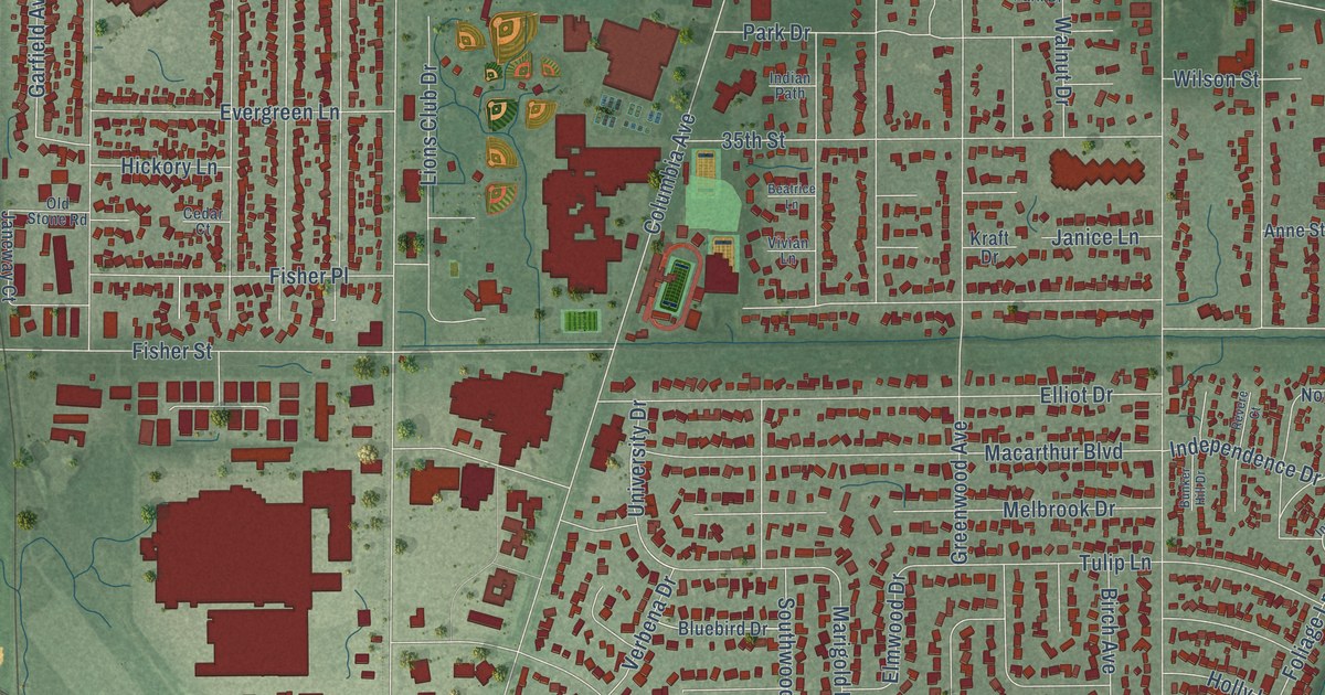
A detailed map of Munster, Indiana, showing every building in its true location, the roads by name, and shaded topographical relief.
Read More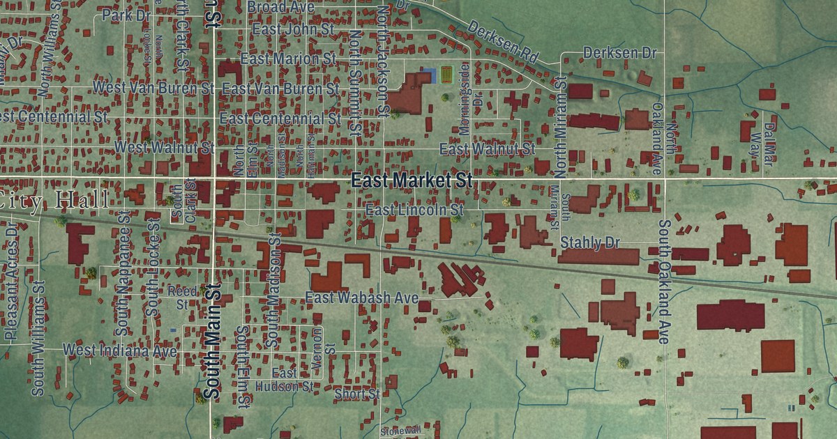
A detailed map of Nappanee, Indiana, showing every building in its true location, the roads by name, and shaded topographical relief.
Read More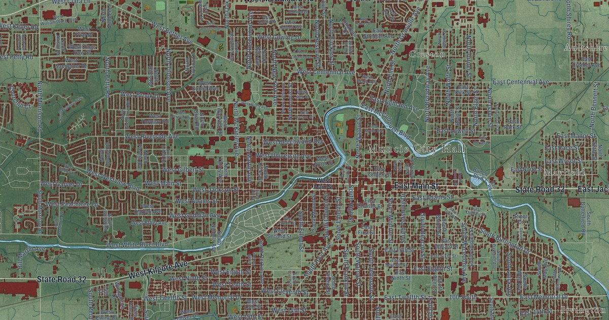
A detailed map of Muncie, Indiana, showing every building in its true location, the roads by name, and shaded topographical relief.
Read More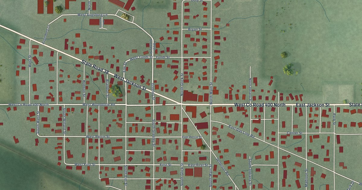
A detailed map of Mulberry, Indiana, showing every building in its true location, the roads by name, and shaded topographical relief.
Read More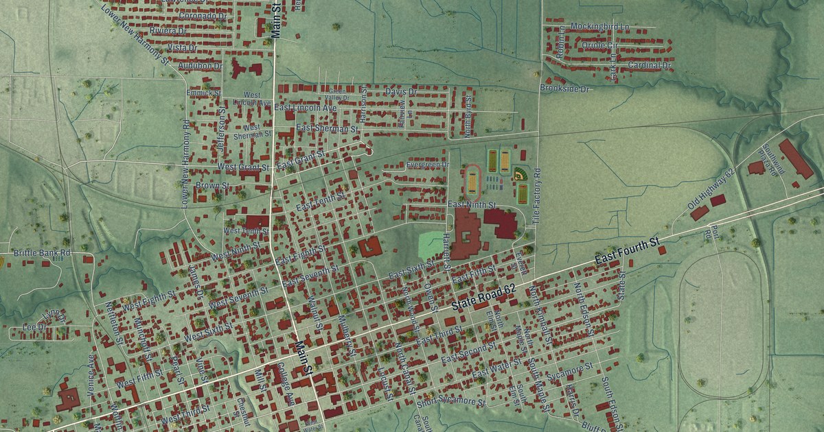
A detailed map of Mount Vernon, Indiana, showing every building in its true location, the roads by name, and shaded topographical relief.
Read More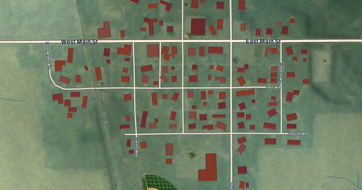
A detailed map of Mount Summit, Indiana, showing every building in its true location, the roads by name, and shaded topographical relief.
Read More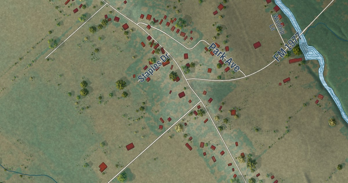
A detailed map of Staples, Texas, showing every building in its true location, the roads by name, and shaded topographical relief.
Read More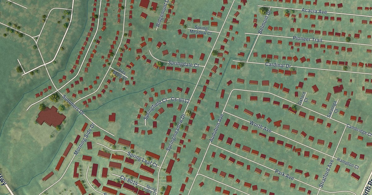
A detailed map of Pioneer Village, Kentucky, showing every building in its true location, the roads by name, and shaded topographical relief.
Read More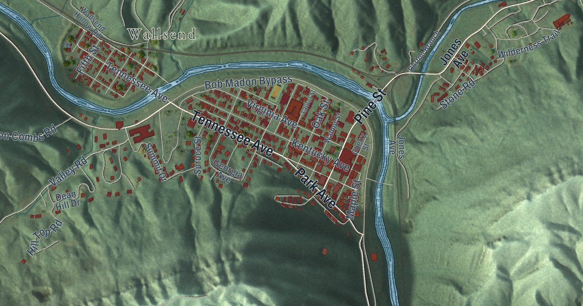
A detailed map of Pineville, Kentucky, showing every building in its true location, the roads by name, and shaded topographical relief.
Read More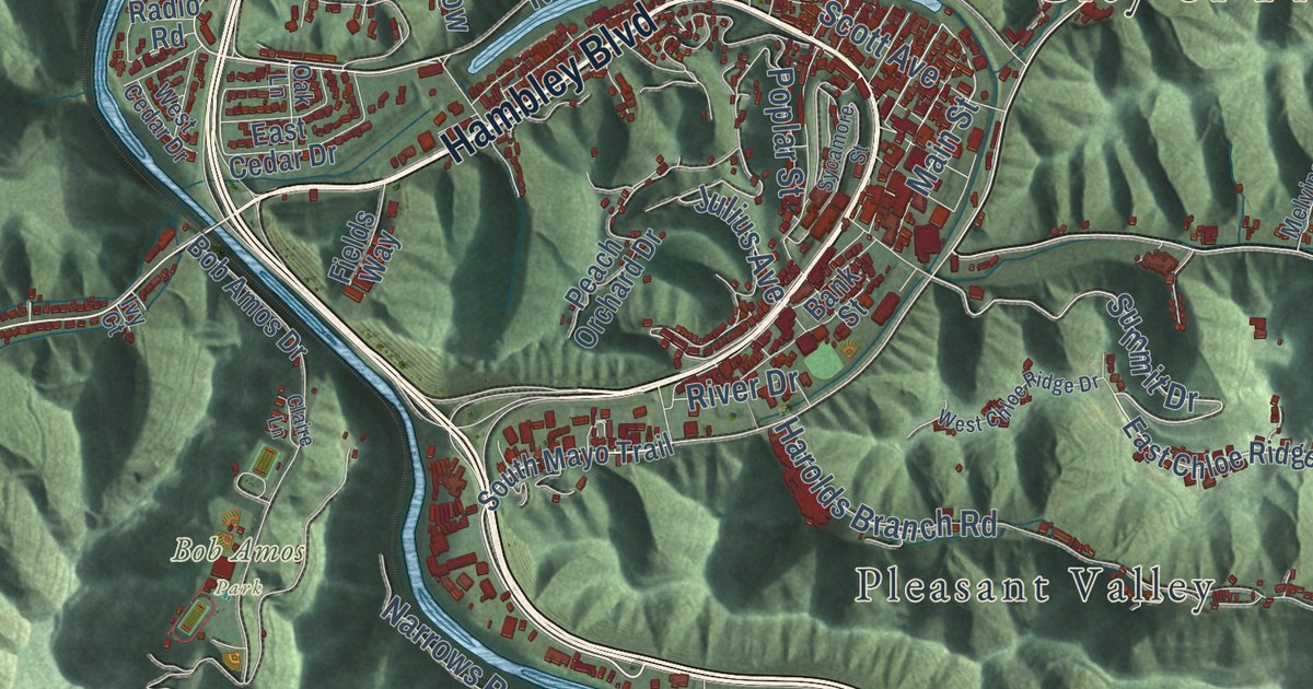
A detailed map of Pikeville, Kentucky, showing every building in its true location, the roads by name, and shaded topographical relief.
Read More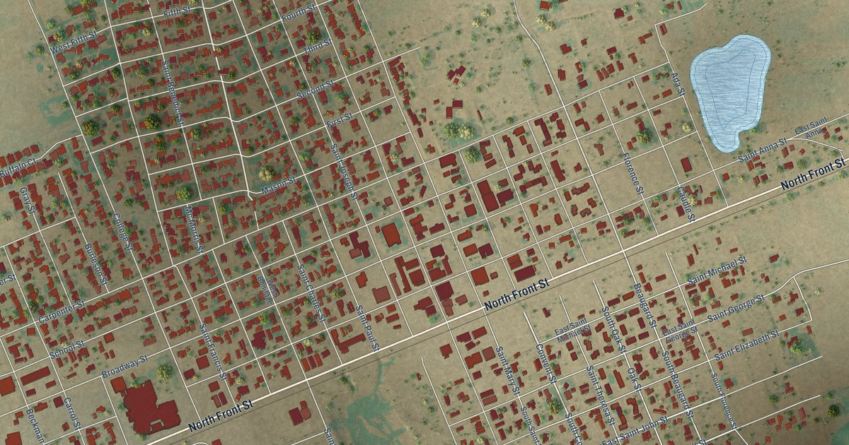
A detailed map of Stanton, Texas, showing every building in its true location, the roads by name, and shaded topographical relief.
Read More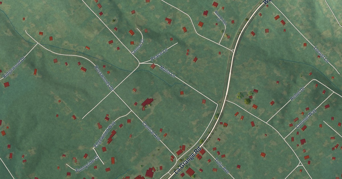
A detailed map of Pewee Valley, Kentucky, showing every building in its true location, the roads by name, and shaded topographical relief.
Read More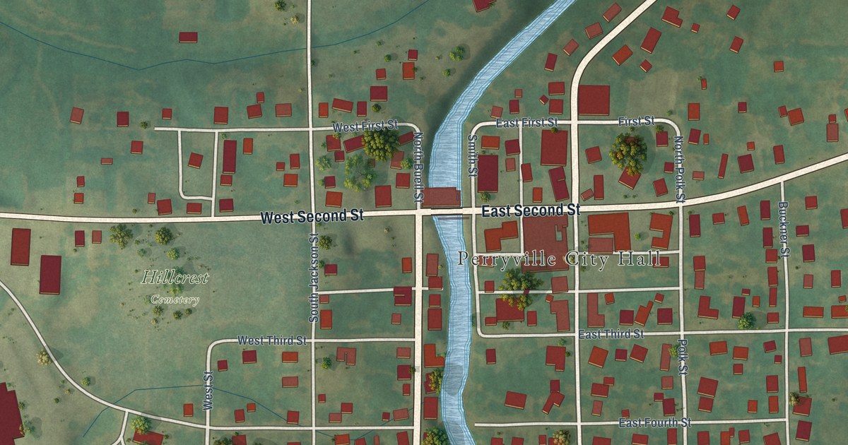
A detailed map of Perryville, Kentucky, showing every building in its true location, the roads by name, and shaded topographical relief.
Read More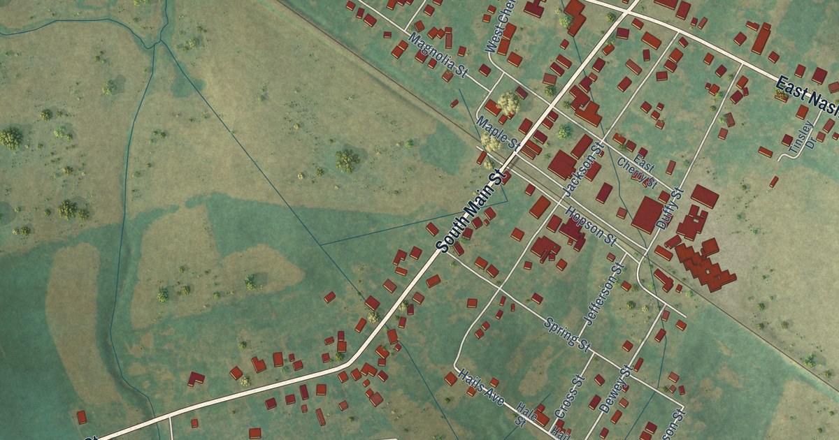
A detailed map of Pembroke, Kentucky, showing every building in its true location, the roads by name, and shaded topographical relief.
Read More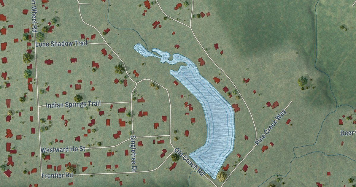
A detailed map of Stagecoach, Texas, showing every building in its true location, the roads by name, and shaded topographical relief.
Read More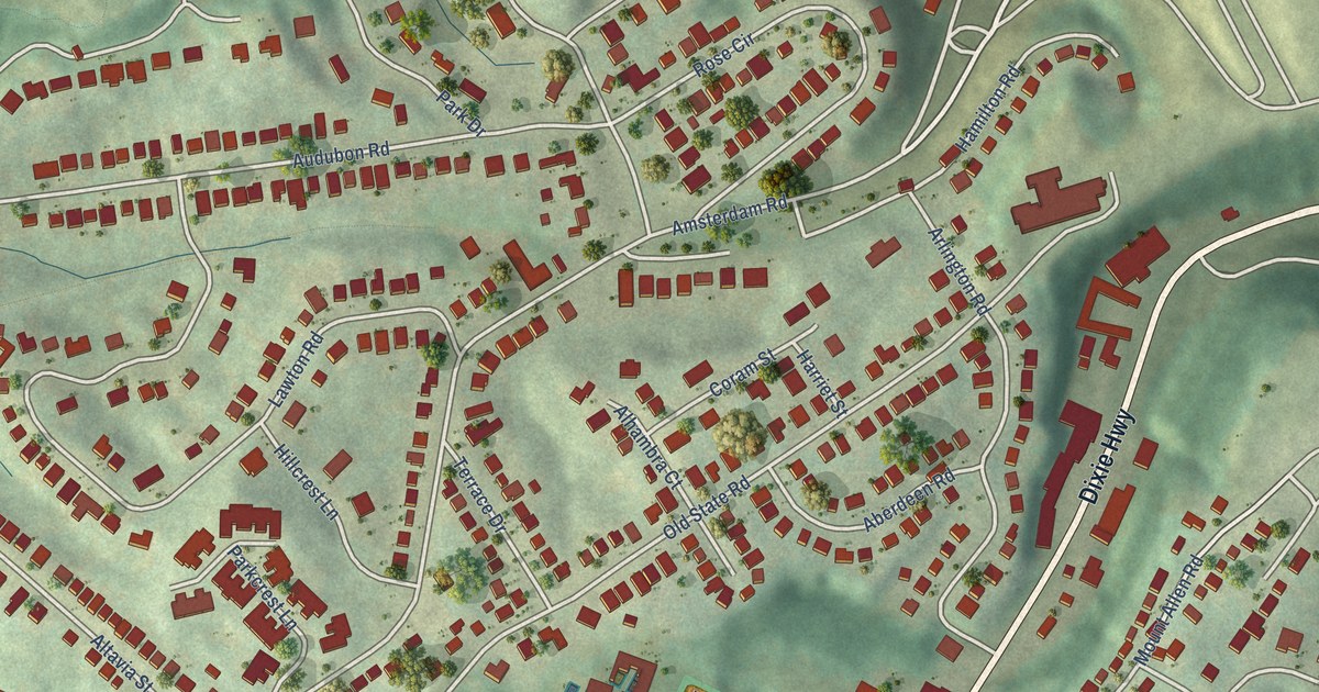
A detailed map of Park Hills, Kentucky, showing every building in its true location, the roads by name, and shaded topographical relief.
Read More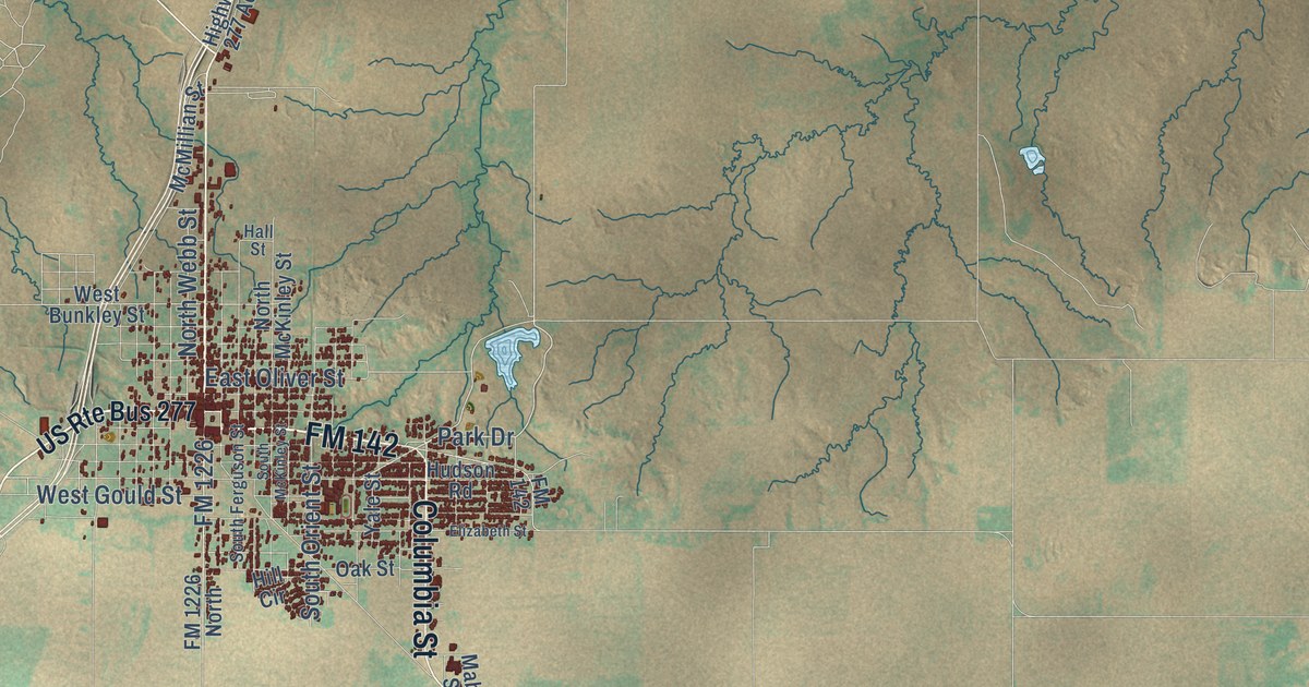
A detailed map of Stamford, Texas, showing every building in its true location, the roads by name, and shaded topographical relief.
Read More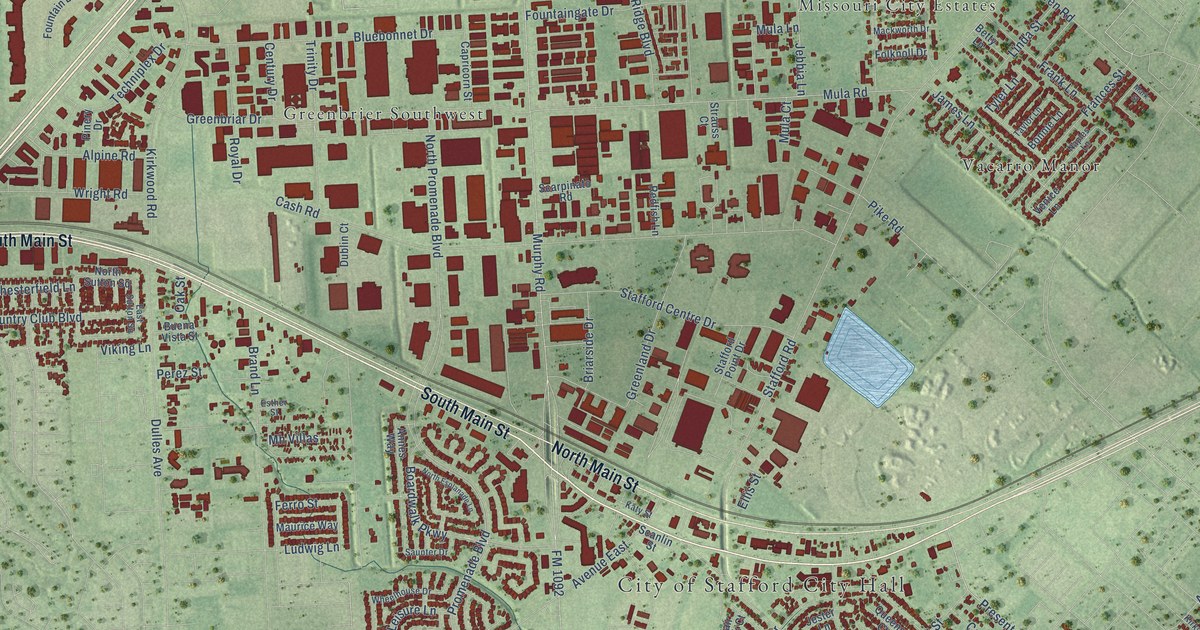
A detailed map of Stafford, Texas, showing every building in its true location, the roads by name, and shaded topographical relief.
Read More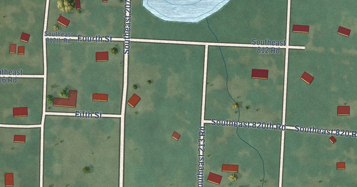
A detailed map of Brownington, Missouri, showing every building in its true location, the roads by name, and shaded topographical relief.
Read More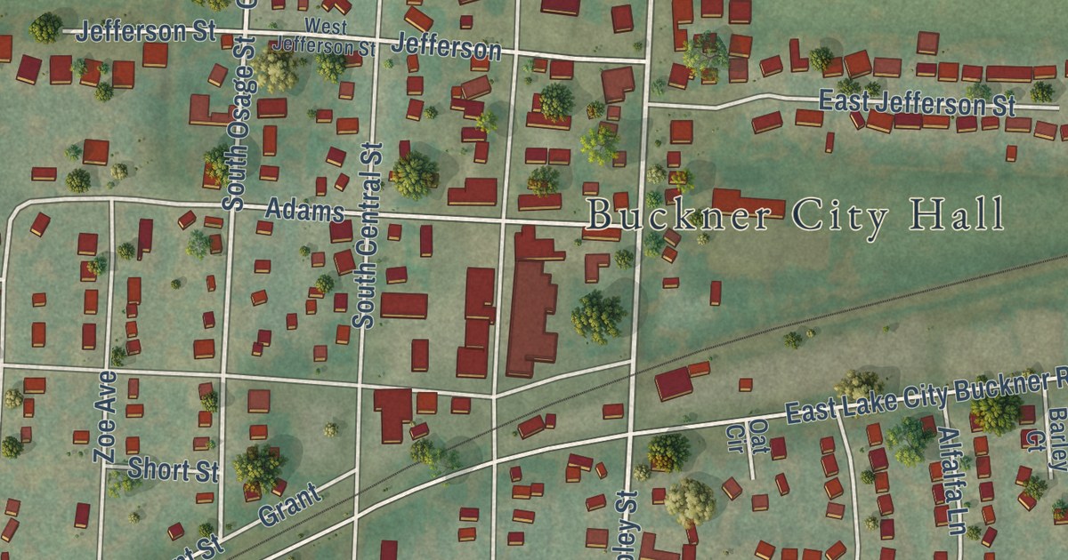
A detailed map of Buckner, Missouri, showing every building in its true location, the roads by name, and shaded topographical relief.
Read More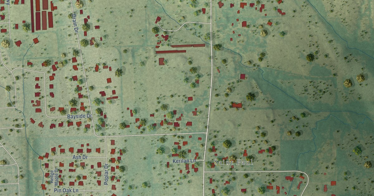
A detailed map of St. Paul, Texas, showing every building in its true location, the roads by name, and shaded topographical relief.
Read More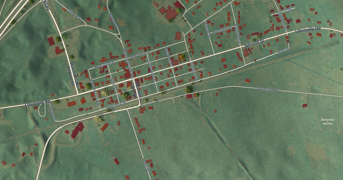
A detailed map of Park City, Kentucky, showing every building in its true location, the roads by name, and shaded topographical relief.
Read More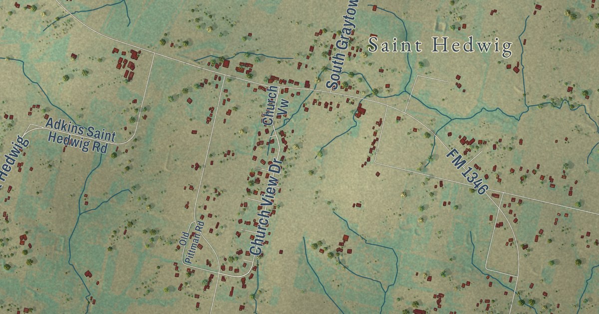
A detailed map of St. Hedwig, Texas, showing every building in its true location, the roads by name, and shaded topographical relief.
Read More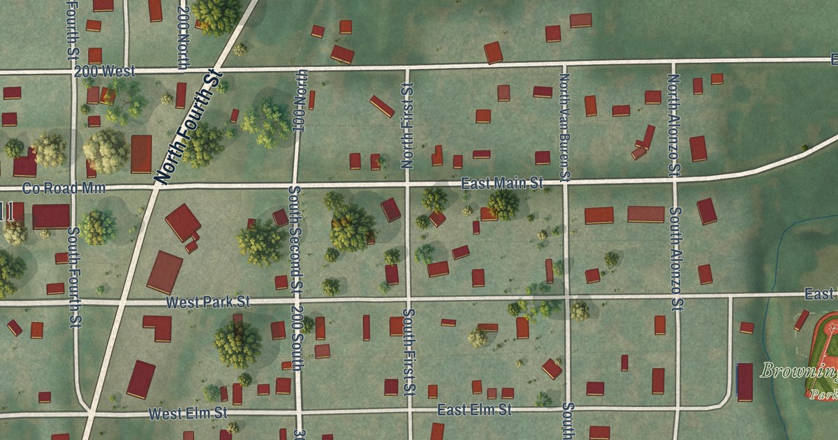
A detailed map of Browning, Missouri, showing every building in its true location, the roads by name, and shaded topographical relief.
Read More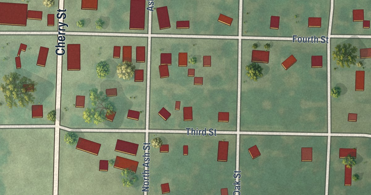
A detailed map of Bronaugh, Missouri, showing every building in its true location, the roads by name, and shaded topographical relief.
Read More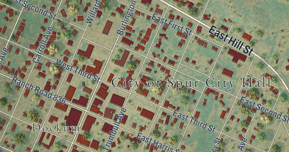
A detailed map of Spur, Texas, showing every building in its true location, the roads by name, and shaded topographical relief.
Read More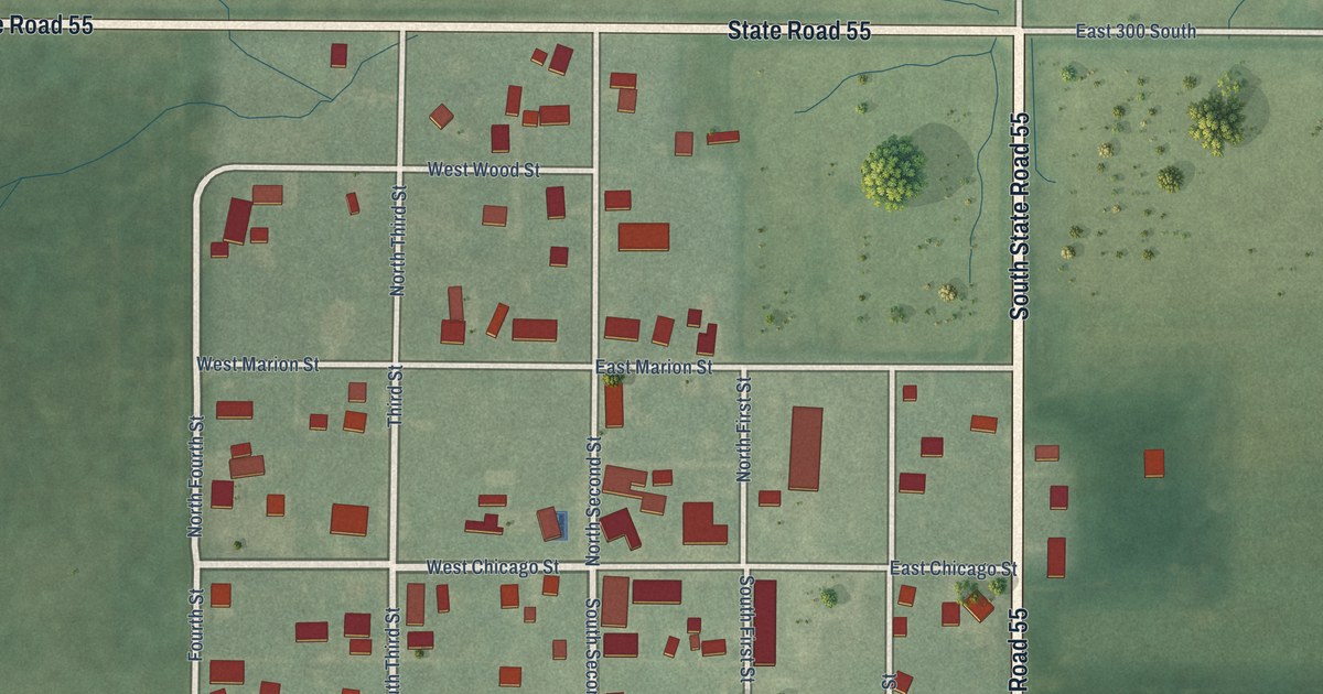
A detailed map of Mount Ayr, Indiana, showing every building in its true location, the roads by name, and shaded topographical relief.
Read More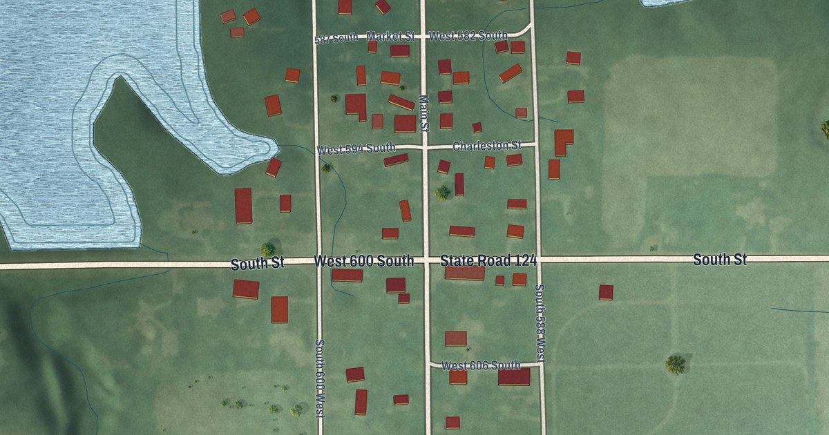
A detailed map of Mount Etna, Indiana, showing every building in its true location, the roads by name, and shaded topographical relief.
Read More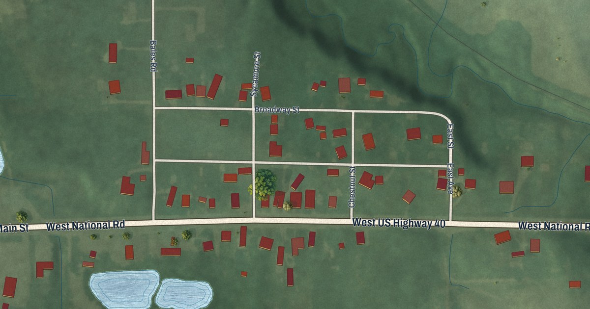
A detailed map of Mount Auburn, Indiana, showing every building in its true location, the roads by name, and shaded topographical relief.
Read More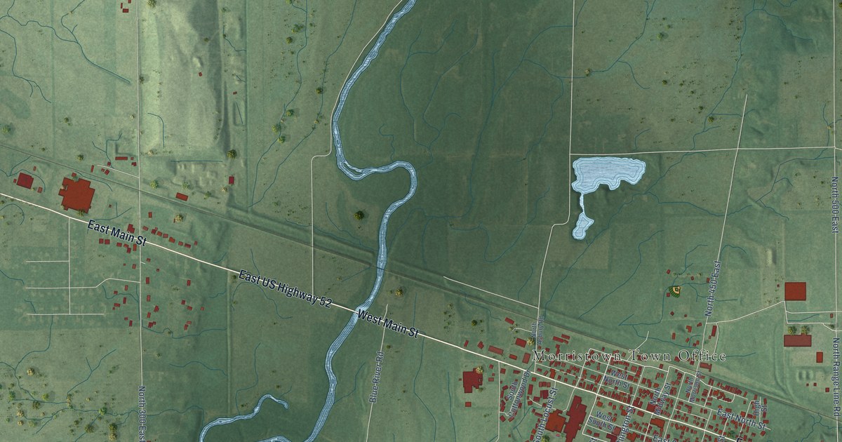
A detailed map of Morristown, Indiana, showing every building in its true location, the roads by name, and shaded topographical relief.
Read More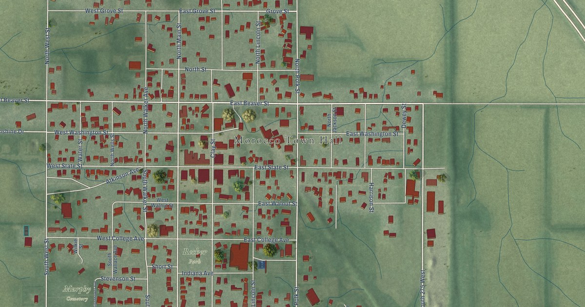
A detailed map of Morocco, Indiana, showing every building in its true location, the roads by name, and shaded topographical relief.
Read More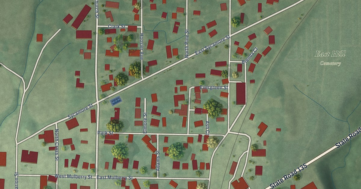
A detailed map of Morgantown, Indiana, showing every building in its true location, the roads by name, and shaded topographical relief.
Read More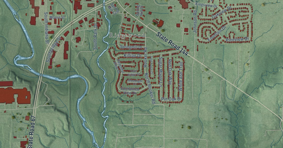
A detailed map of Mooresville, Indiana, showing every building in its true location, the roads by name, and shaded topographical relief.
Read More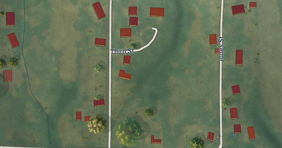
A detailed map of Brimson, Missouri, showing every building in its true location, the roads by name, and shaded topographical relief.
Read More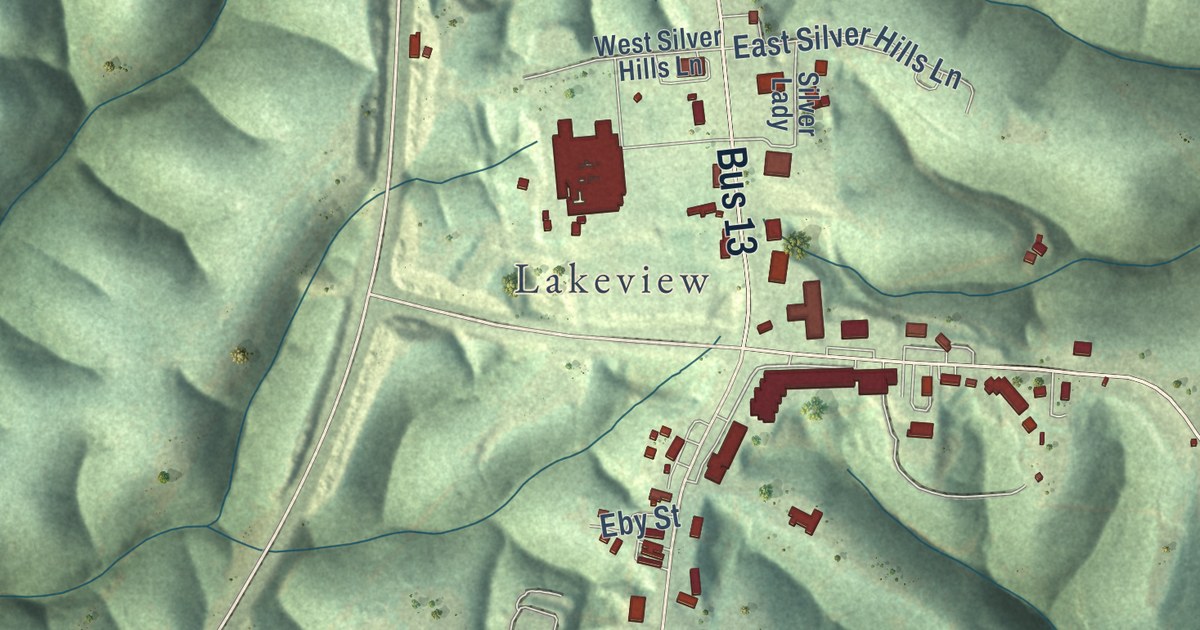
A detailed map of Branson West, Missouri, showing every building in its true location, the roads by name, and shaded topographical relief.
Read More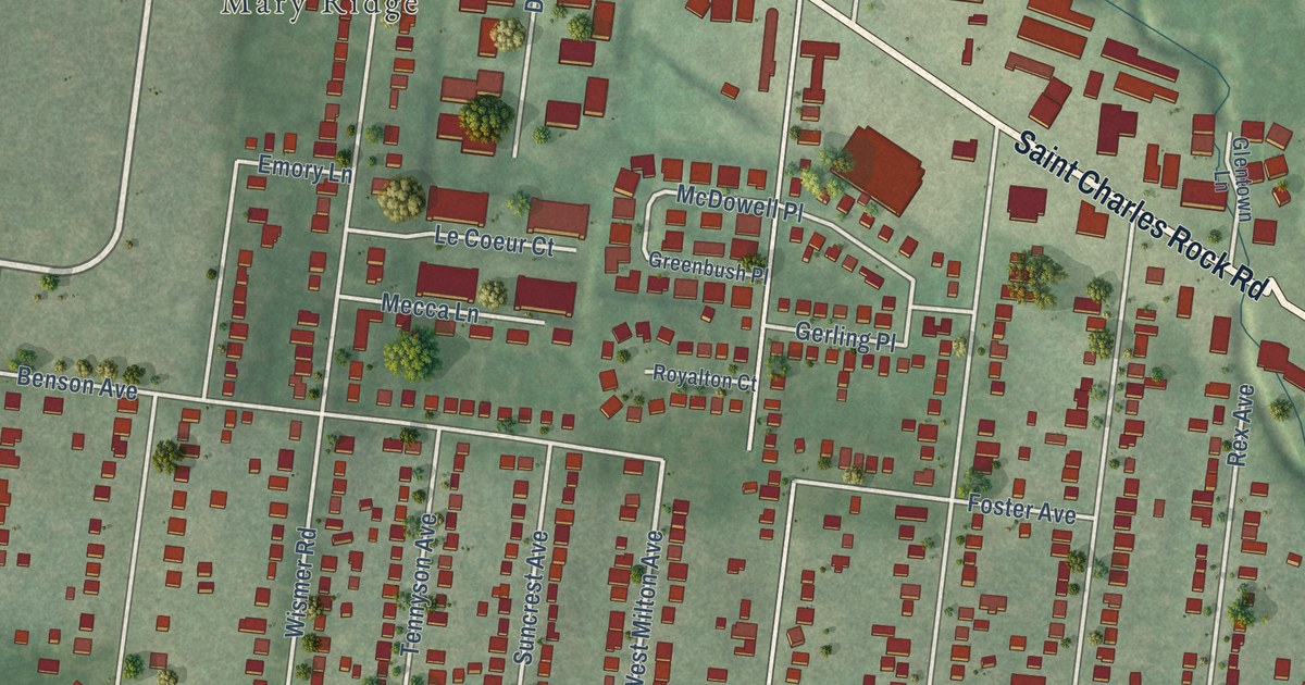
A detailed map of Breckenridge Hills, Missouri, showing every building in its true location, the roads by name, and shaded topographical relief.
Read More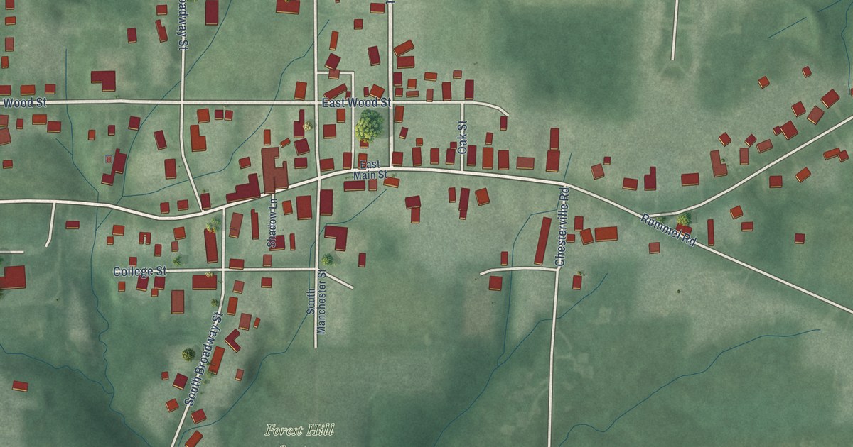
A detailed map of Moores Hill, Indiana, showing every building in its true location, the roads by name, and shaded topographical relief.
Read More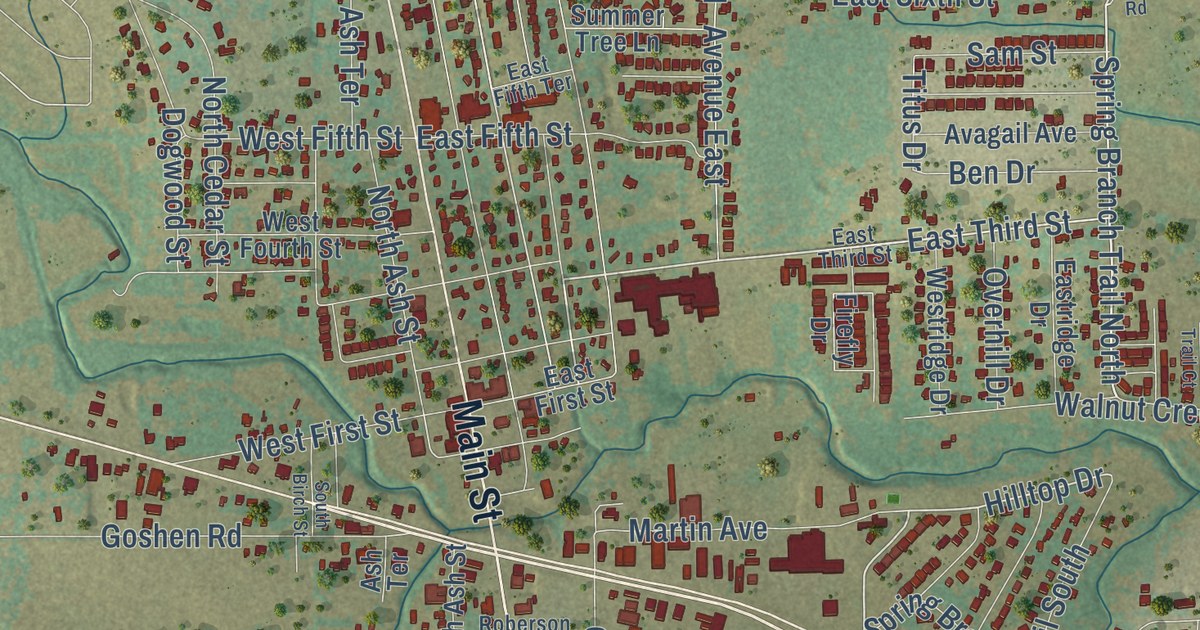
A detailed map of Springtown, Texas, showing every building in its true location, the roads by name, and shaded topographical relief.
Read More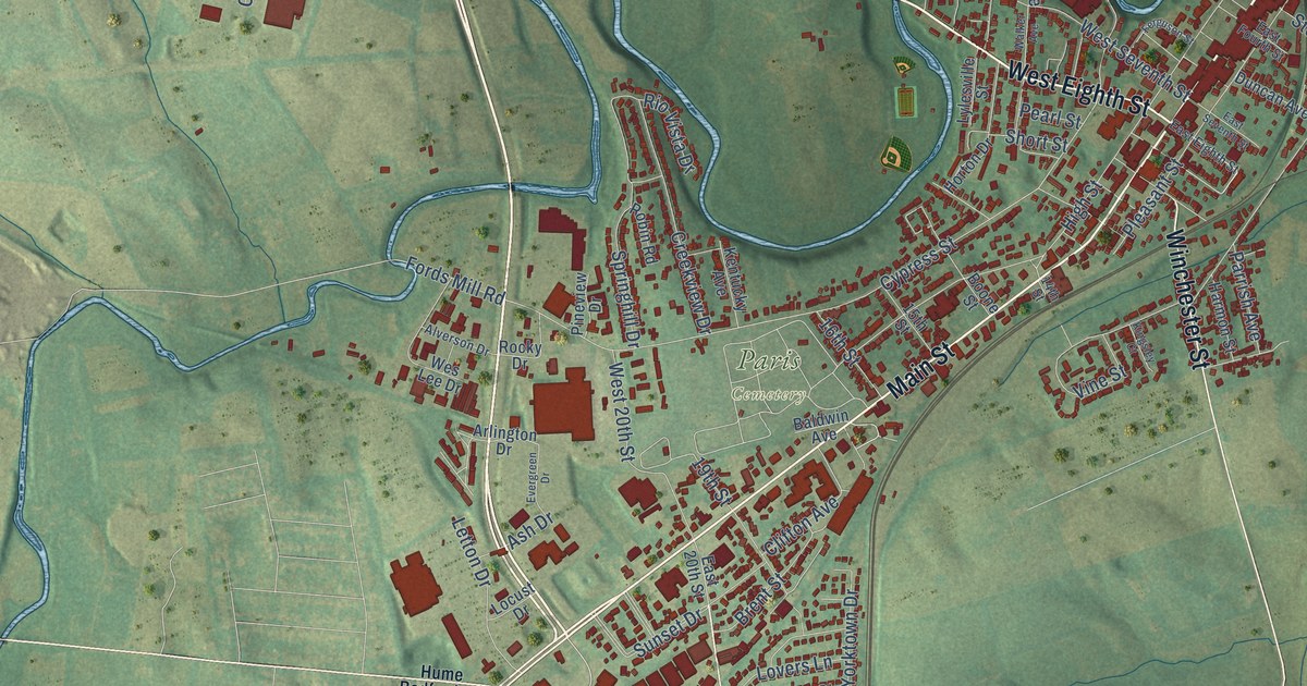
A detailed map of Paris, Kentucky, showing every building in its true location, the roads by name, and shaded topographical relief.
Read More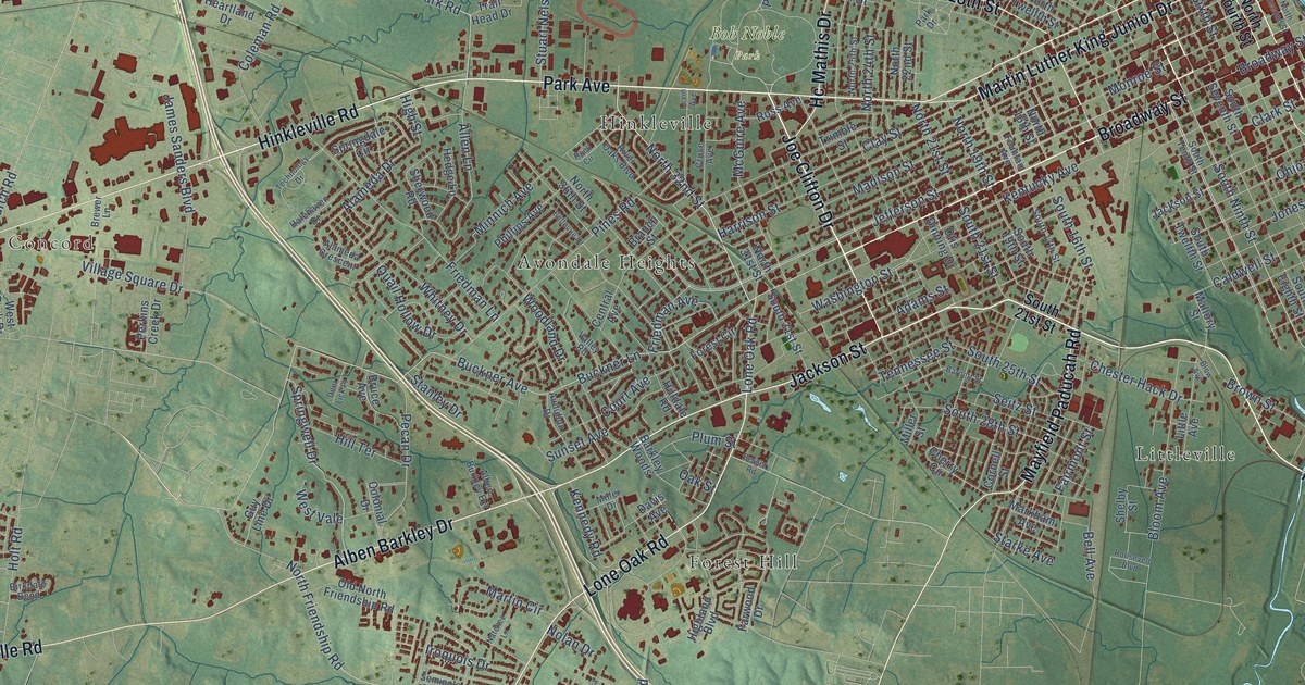
A detailed map of Paducah, Kentucky, showing every building in its true location, the roads by name, and shaded topographical relief.
Read More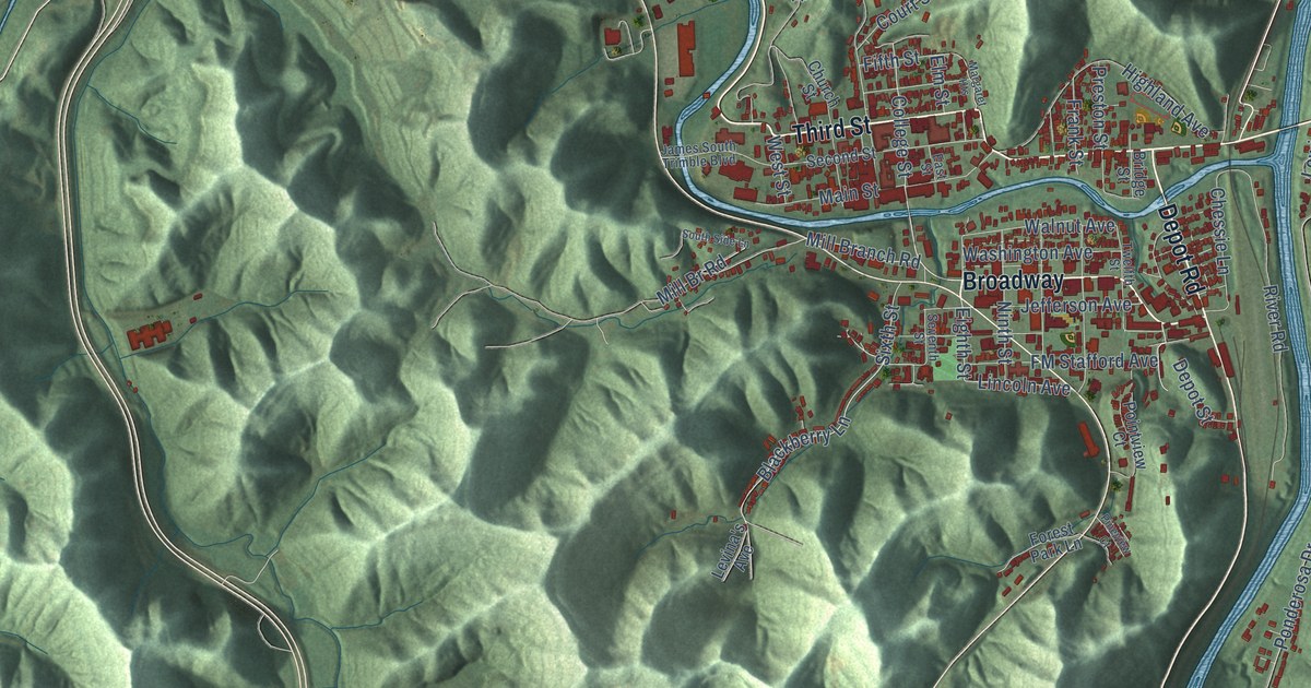
A detailed map of Paintsville, Kentucky, showing every building in its true location, the roads by name, and shaded topographical relief.
Read More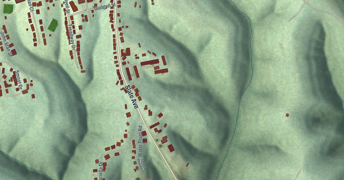
A detailed map of Owingsville, Kentucky, showing every building in its true location, the roads by name, and shaded topographical relief.
Read More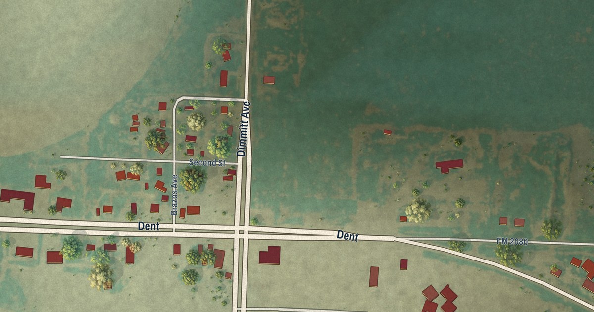
A detailed map of Springlake, Texas, showing every building in its true location, the roads by name, and shaded topographical relief.
Read More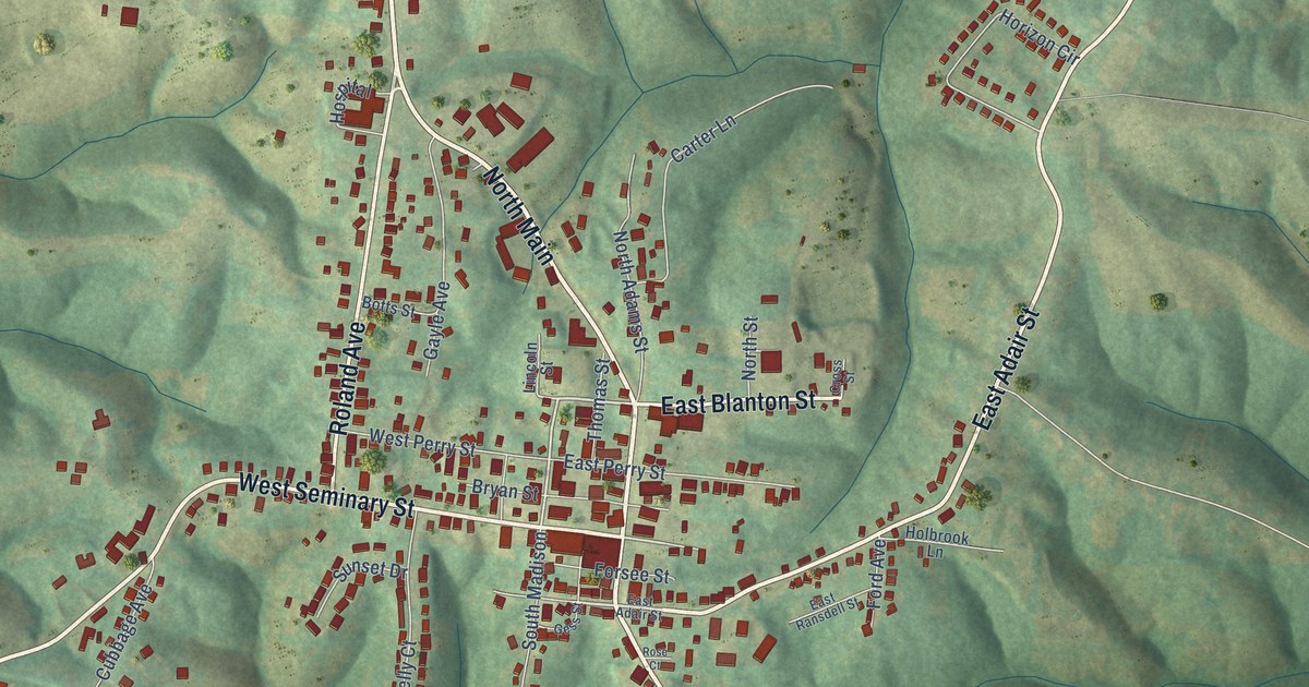
A detailed map of Owenton, Kentucky, showing every building in its true location, the roads by name, and shaded topographical relief.
Read More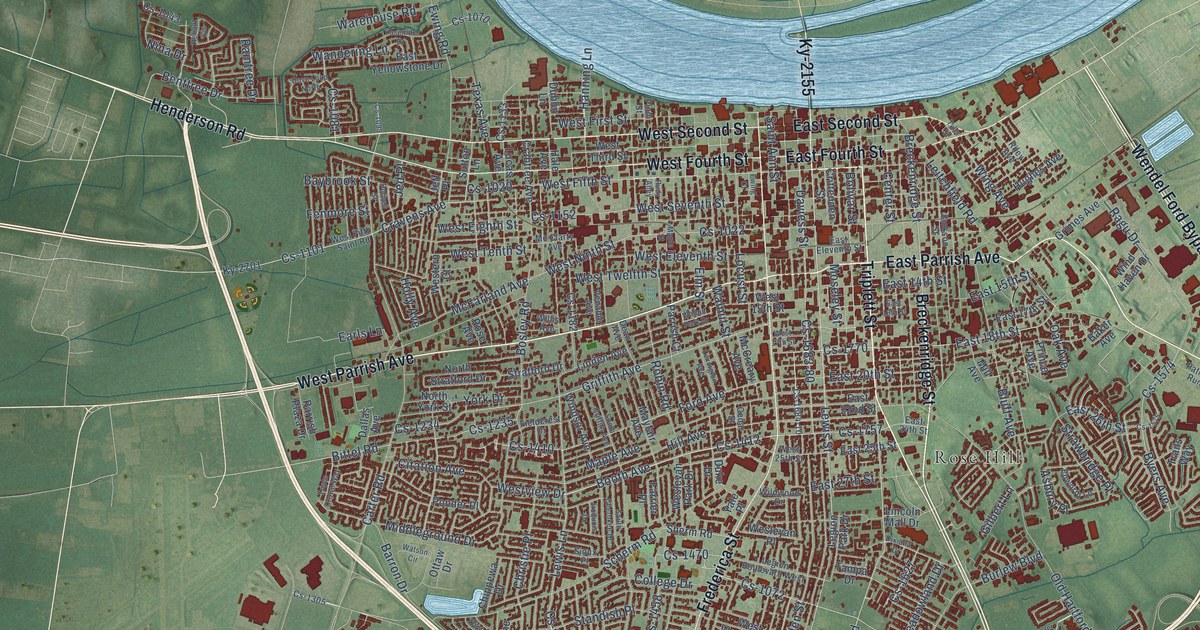
A detailed map of Owensboro, Kentucky, showing every building in its true location, the roads by name, and shaded topographical relief.
Read More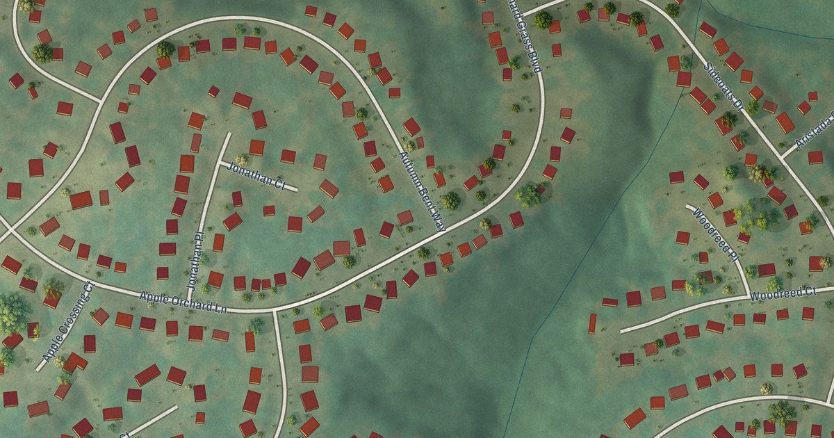
A detailed map of Orchard Grass Hills, Kentucky, showing every building in its true location, the roads by name, and shaded topographical relief.
Read More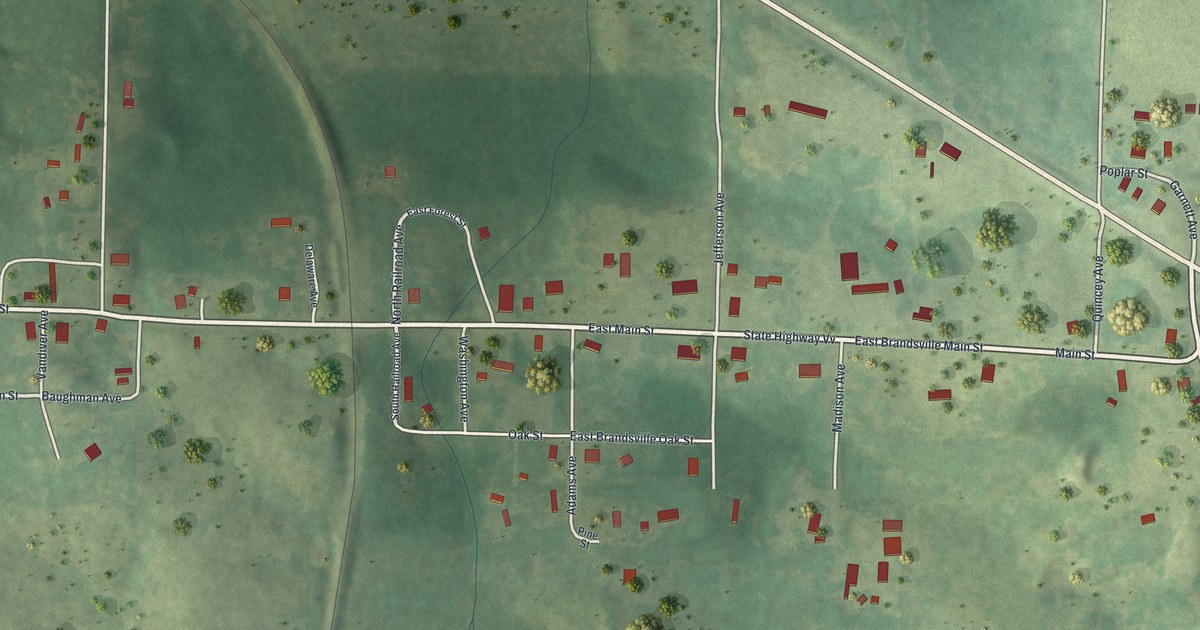
A detailed map of Brandsville, Missouri, showing every building in its true location, the roads by name, and shaded topographical relief.
Read More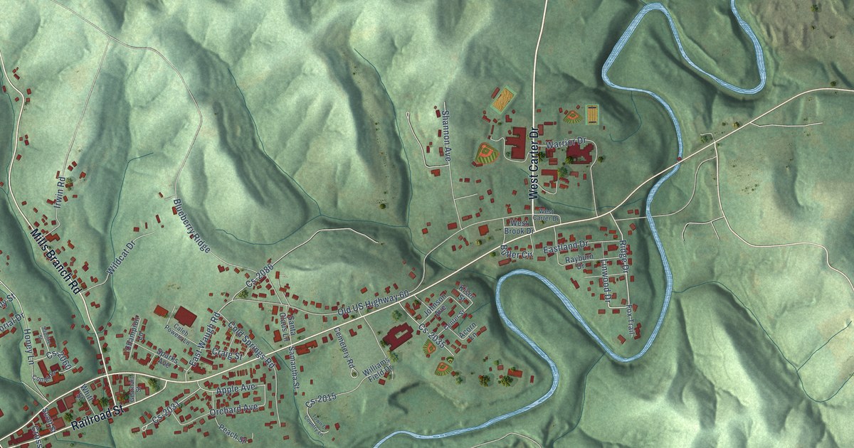
A detailed map of Olive Hill, Kentucky, showing every building in its true location, the roads by name, and shaded topographical relief.
Read More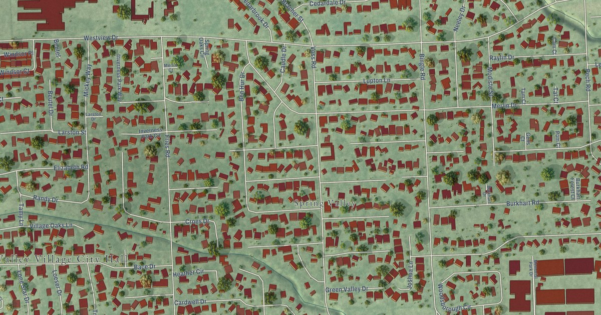
A detailed map of Spring Valley Village, Texas, showing every building in its true location, the roads by name, and shaded topographical relief.
Read More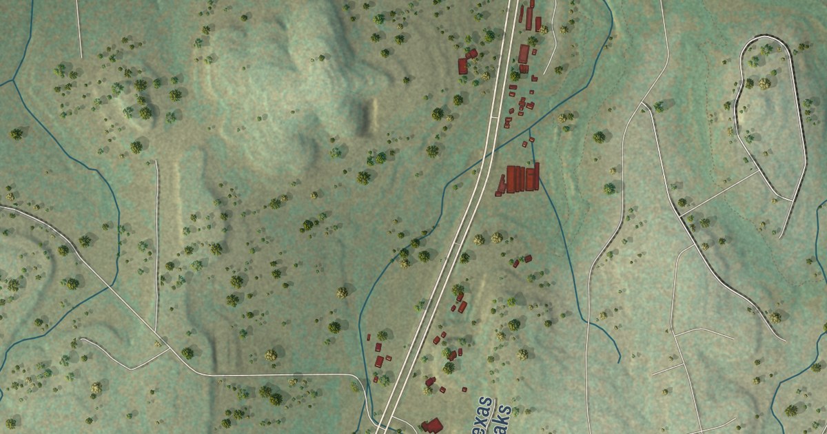
A detailed map of Spring Branch, Texas, showing every building in its true location, the roads by name, and shaded topographical relief.
Read More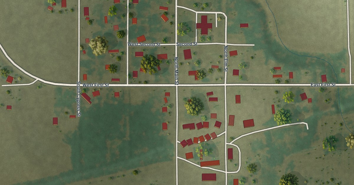
A detailed map of Bragg City, Missouri, showing every building in its true location, the roads by name, and shaded topographical relief.
Read More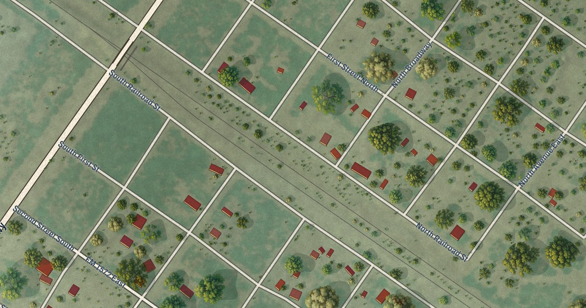
A detailed map of Spofford, Texas, showing every building in its true location, the roads by name, and shaded topographical relief.
Read More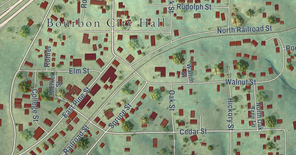
A detailed map of Bourbon, Missouri, showing every building in its true location, the roads by name, and shaded topographical relief.
Read More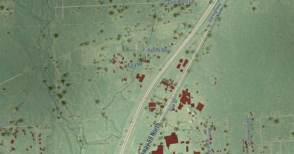
A detailed map of Splendora, Texas, showing every building in its true location, the roads by name, and shaded topographical relief.
Read More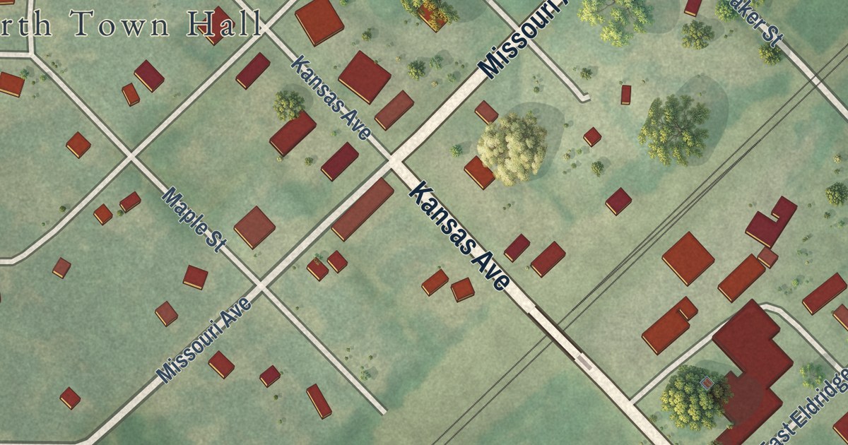
A detailed map of Bosworth, Missouri, showing every building in its true location, the roads by name, and shaded topographical relief.
Read More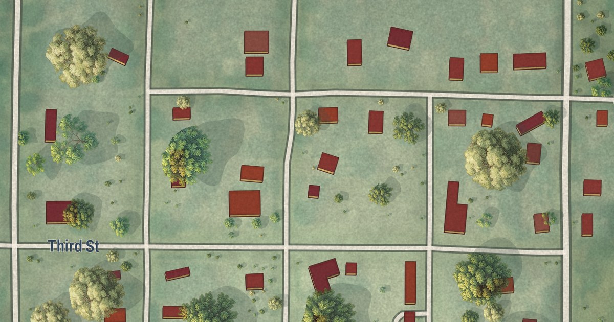
A detailed map of Bogard, Missouri, showing every building in its true location, the roads by name, and shaded topographical relief.
Read More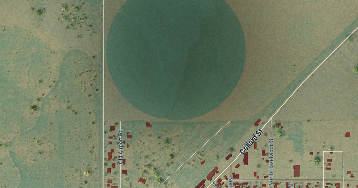
A detailed map of Spearman, Texas, showing every building in its true location, the roads by name, and shaded topographical relief.
Read More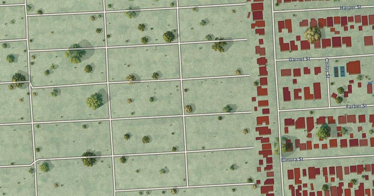
A detailed map of Southside Place, Texas, showing every building in its true location, the roads by name, and shaded topographical relief.
Read More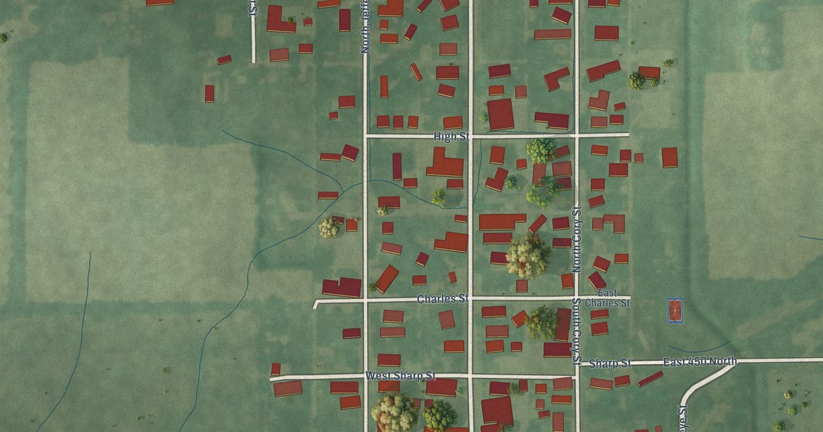
A detailed map of Mooreland, Indiana, showing every building in its true location, the roads by name, and shaded topographical relief.
Read More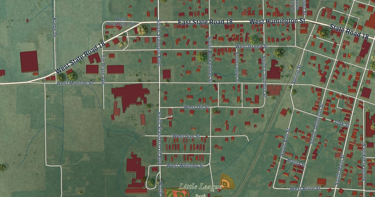
A detailed map of Montpelier, Indiana, showing every building in its true location, the roads by name, and shaded topographical relief.
Read More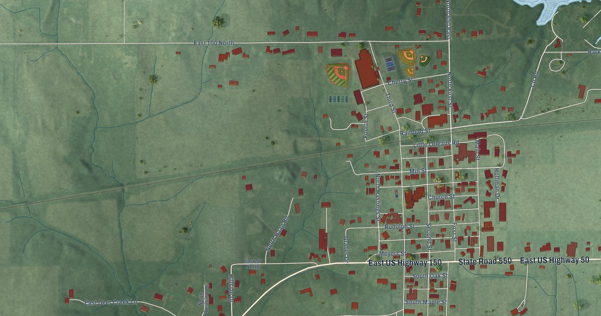
A detailed map of Montgomery, Indiana, showing every building in its true location, the roads by name, and shaded topographical relief.
Read More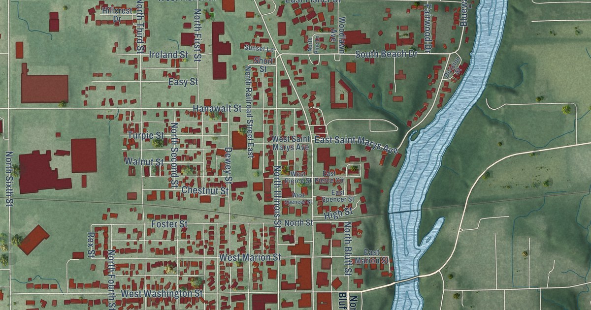
A detailed map of Monticello, Indiana, showing every building in its true location, the roads by name, and shaded topographical relief.
Read More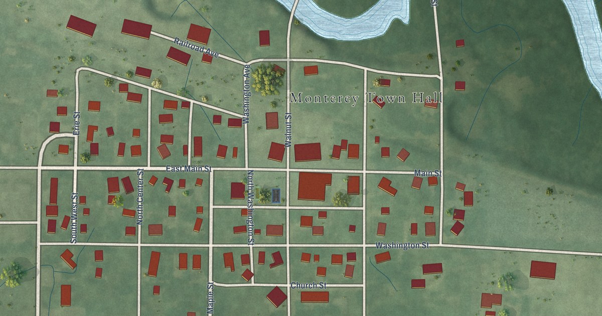
A detailed map of Monterey, Indiana, showing every building in its true location, the roads by name, and shaded topographical relief.
Read More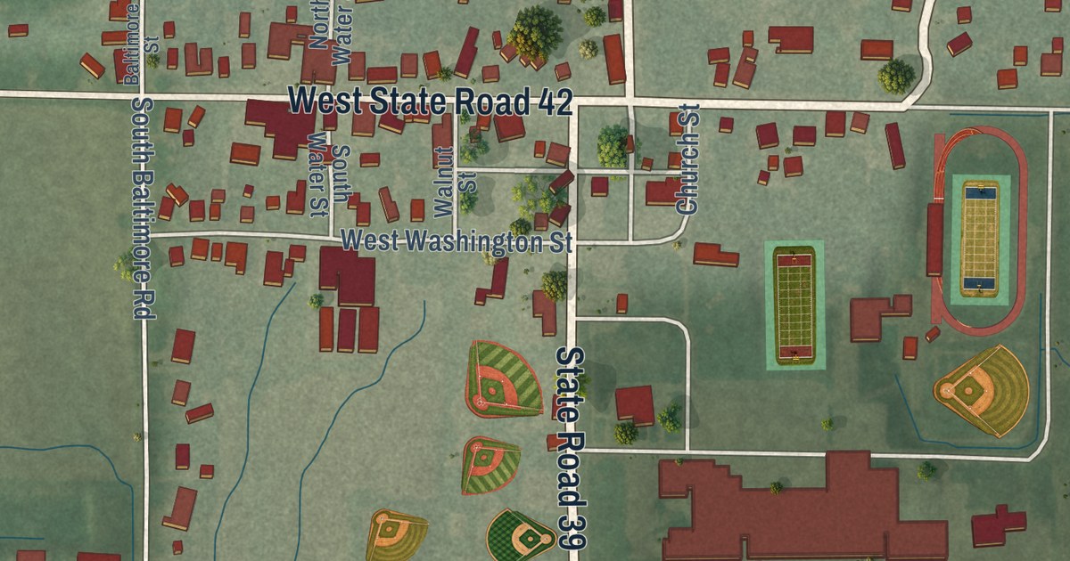
A detailed map of Monrovia, Indiana, showing every building in its true location, the roads by name, and shaded topographical relief.
Read More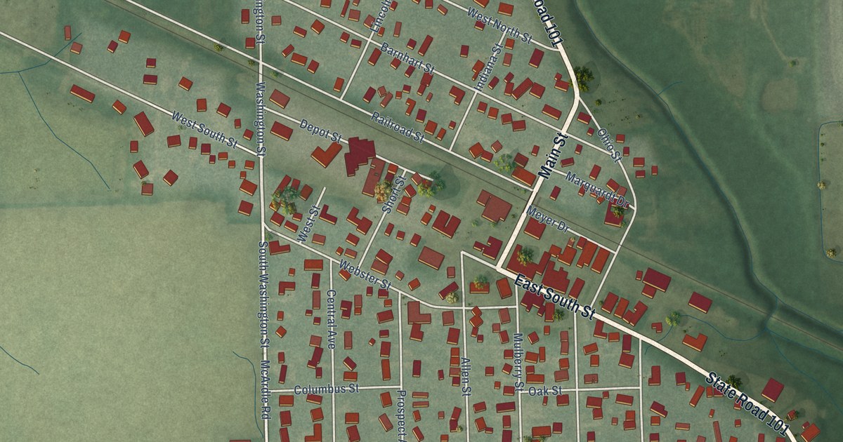
A detailed map of Monroeville, Indiana, showing every building in its true location, the roads by name, and shaded topographical relief.
Read More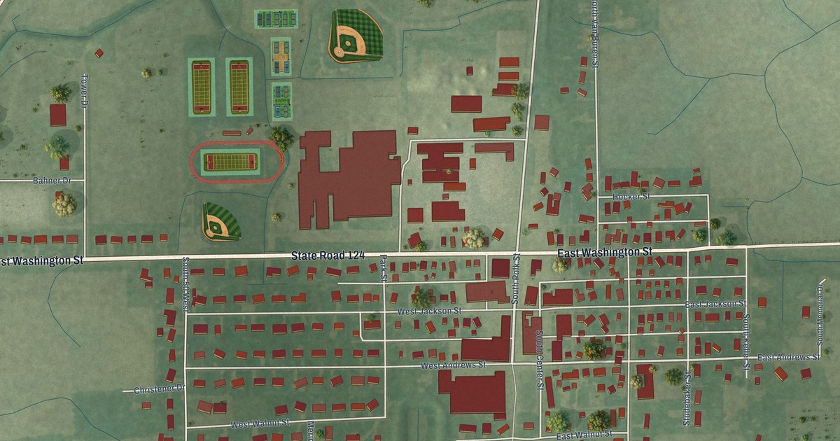
A detailed map of Monroe, Indiana, showing every building in its true location, the roads by name, and shaded topographical relief.
Read More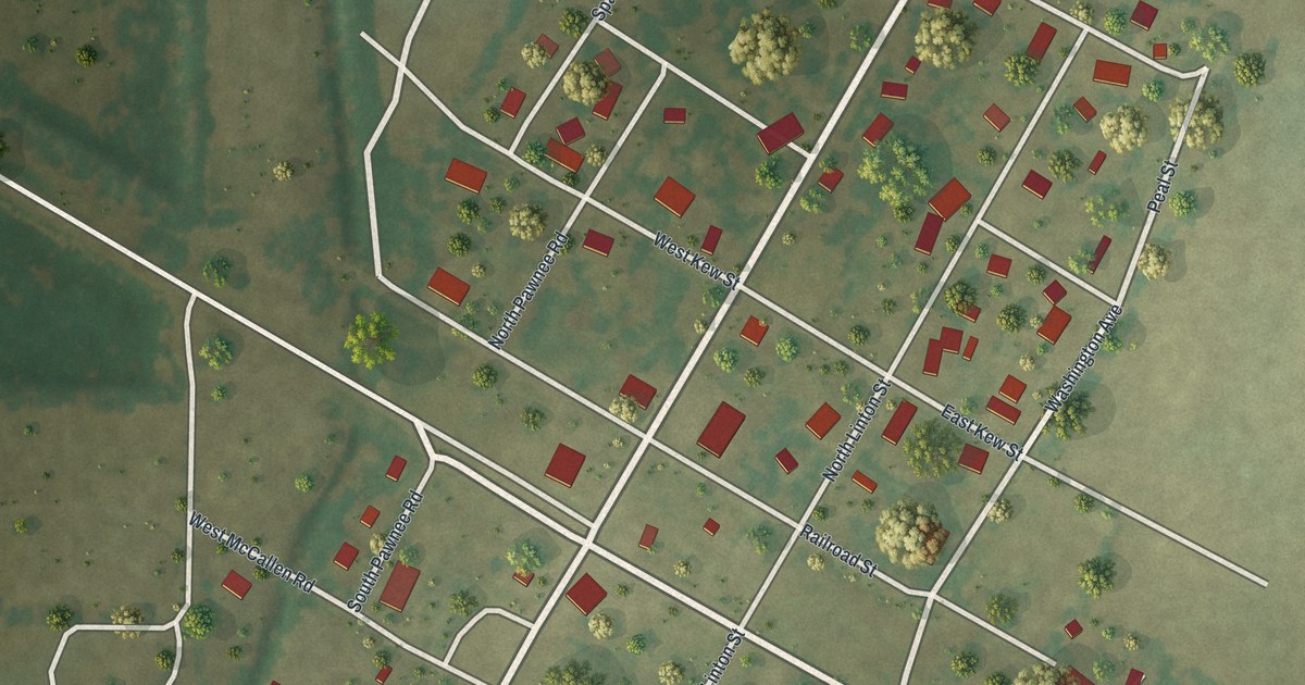
A detailed map of Blodgett, Missouri, showing every building in its true location, the roads by name, and shaded topographical relief.
Read More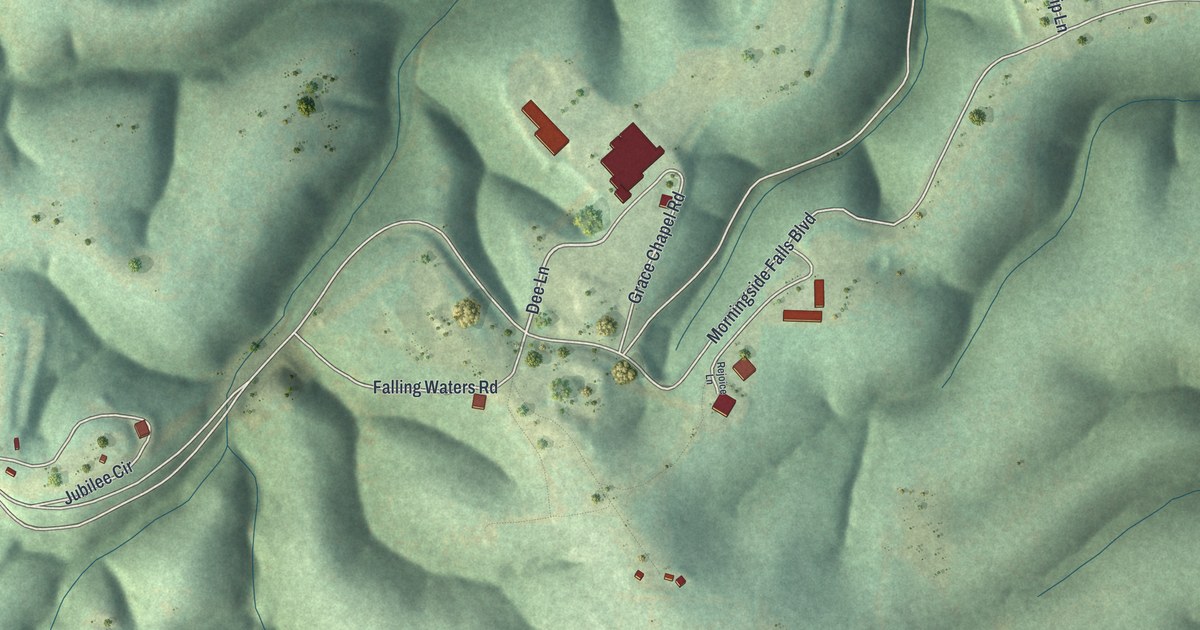
A detailed map of Blue Eye, Missouri, showing every building in its true location, the roads by name, and shaded topographical relief.
Read More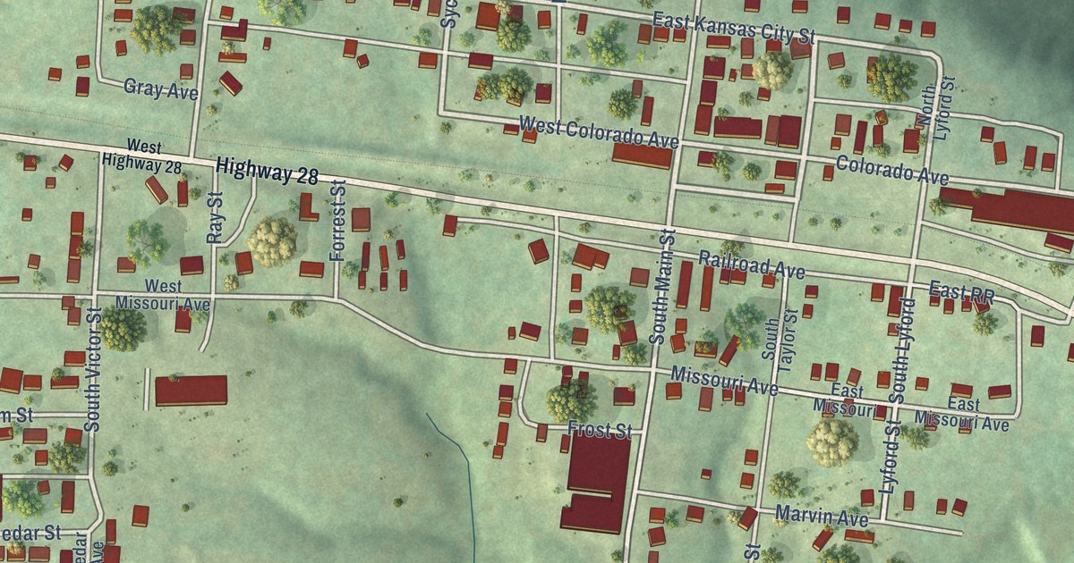
A detailed map of Bland, Missouri, showing every building in its true location, the roads by name, and shaded topographical relief.
Read More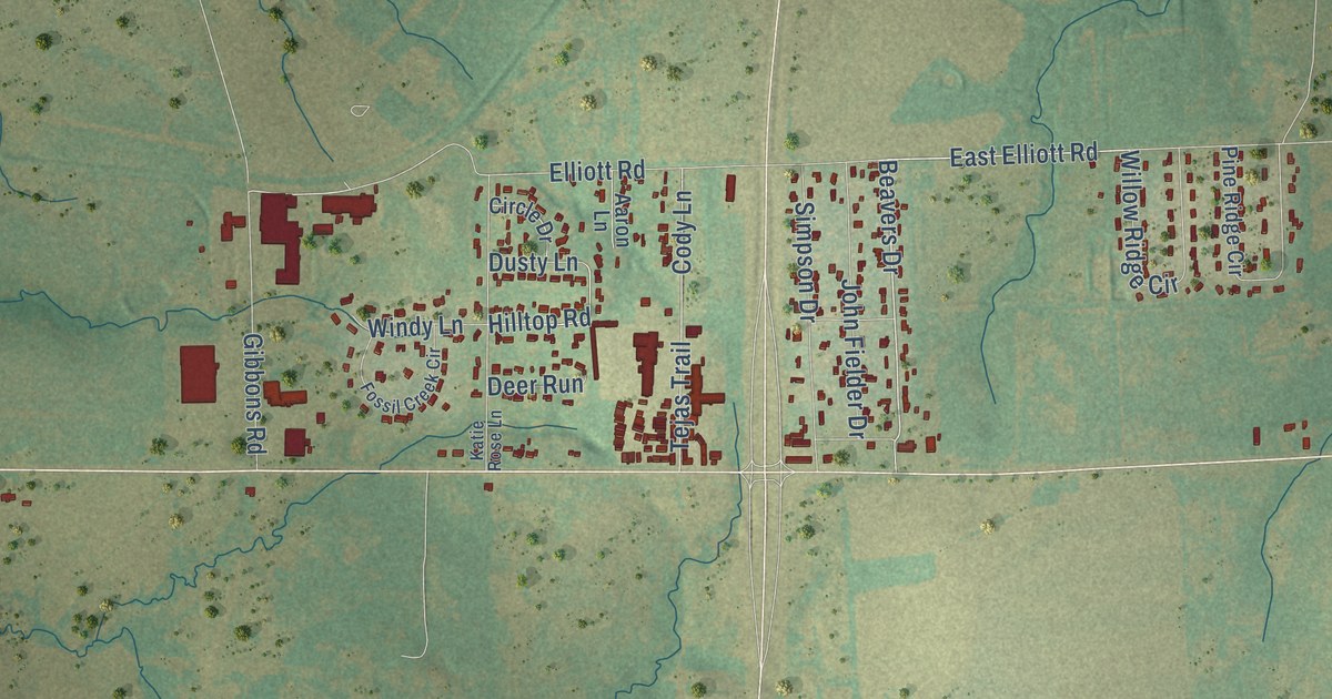
A detailed map of Southmayd, Texas, showing every building in its true location, the roads by name, and shaded topographical relief.
Read More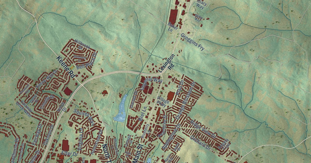
A detailed map of Nicholasville, Kentucky, showing every building in its true location, the roads by name, and shaded topographical relief.
Read More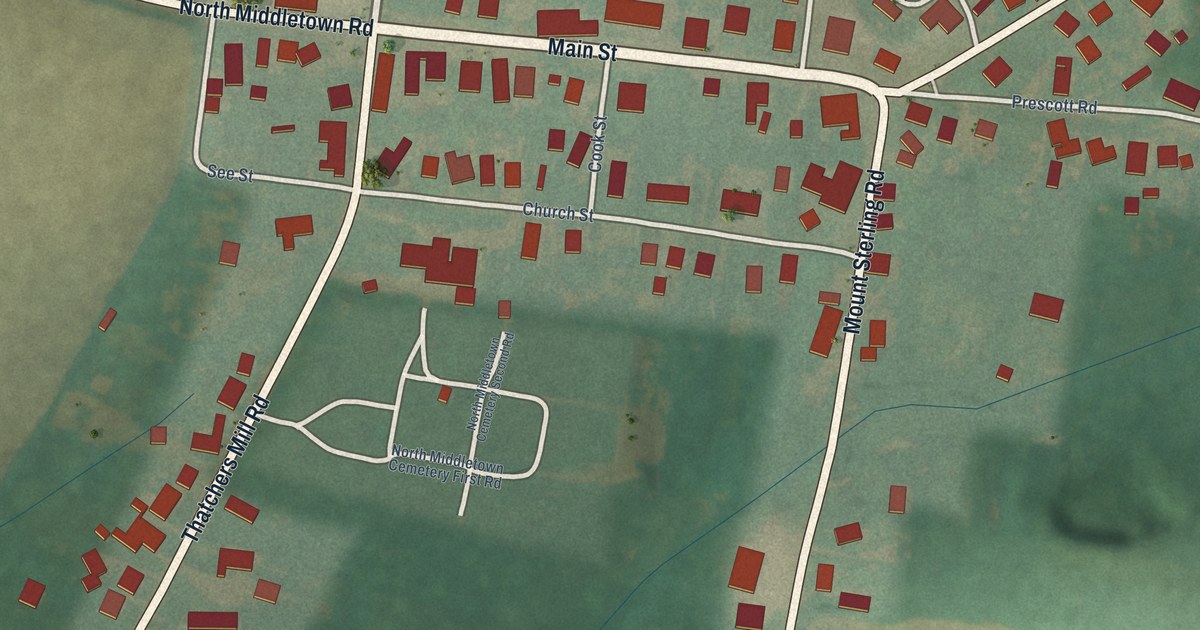
A detailed map of North Middletown, Kentucky, showing every building in its true location, the roads by name, and shaded topographical relief.
Read More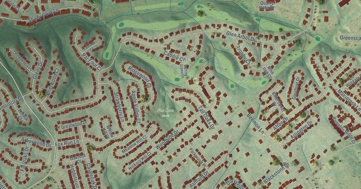
A detailed map of Oakbrook, Kentucky, showing every building in its true location, the roads by name, and shaded topographical relief.
Read More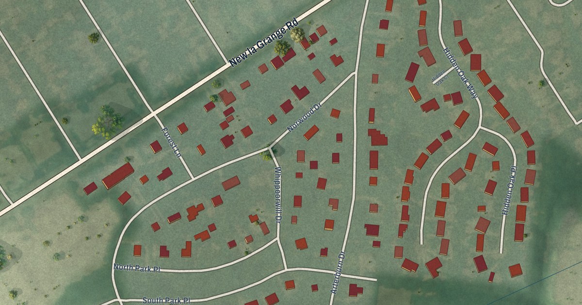
A detailed map of Norwood, Kentucky, showing every building in its true location, the roads by name, and shaded topographical relief.
Read More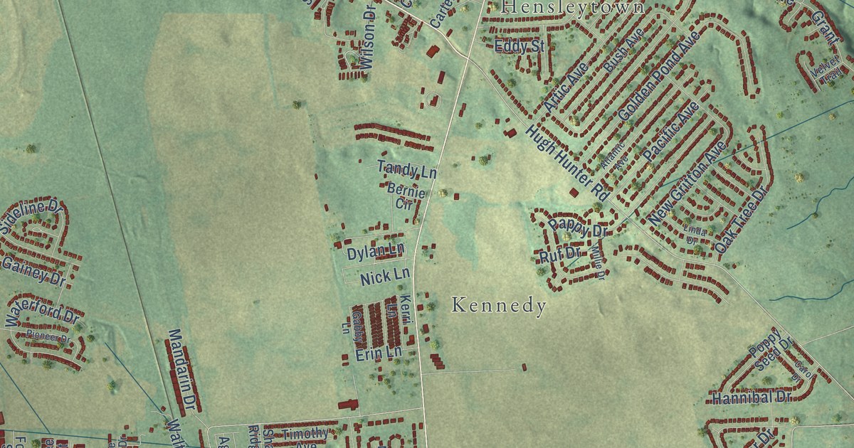
A detailed map of Oak Grove, Kentucky, showing every building in its true location, the roads by name, and shaded topographical relief.
Read More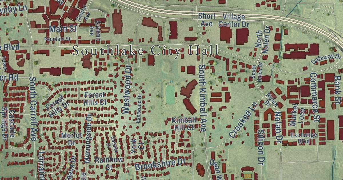
A detailed map of Southlake, Texas, showing every building in its true location, the roads by name, and shaded topographical relief.
Read More















