Detailed Map of Santa Anna, Texas
A detailed map of Santa Anna, Texas, showing every building in its true location, the roads by name, and shaded topographical relief.
Read More
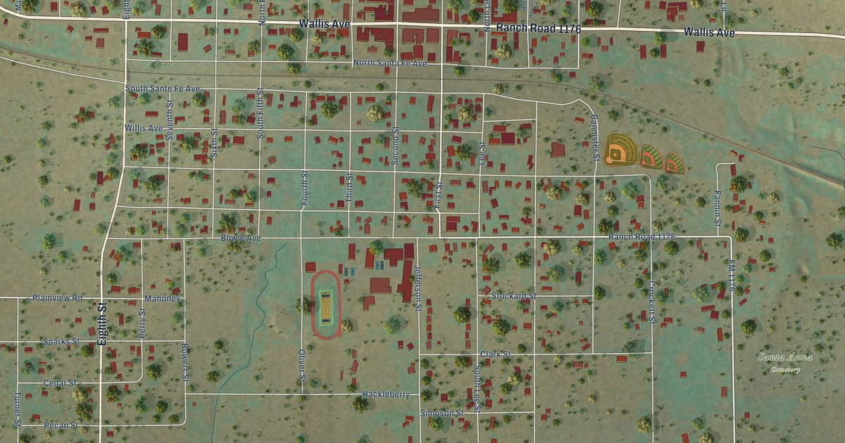
A detailed map of Santa Anna, Texas, showing every building in its true location, the roads by name, and shaded topographical relief.
Read More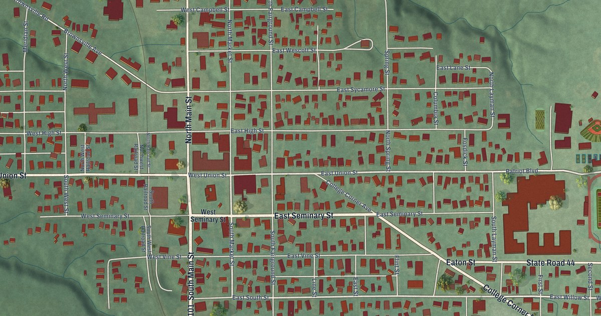
A detailed map of Liberty, Indiana, showing every building in its true location, the roads by name, and shaded topographical relief.
Read More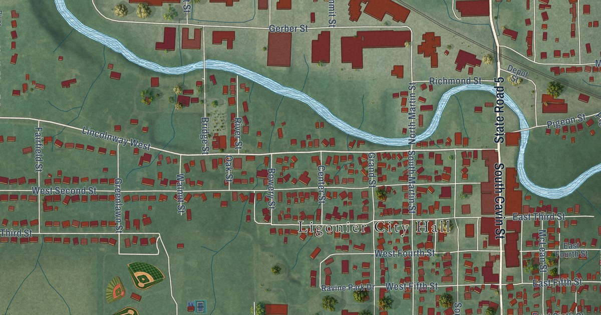
A detailed map of Ligonier, Indiana, showing every building in its true location, the roads by name, and shaded topographical relief.
Read More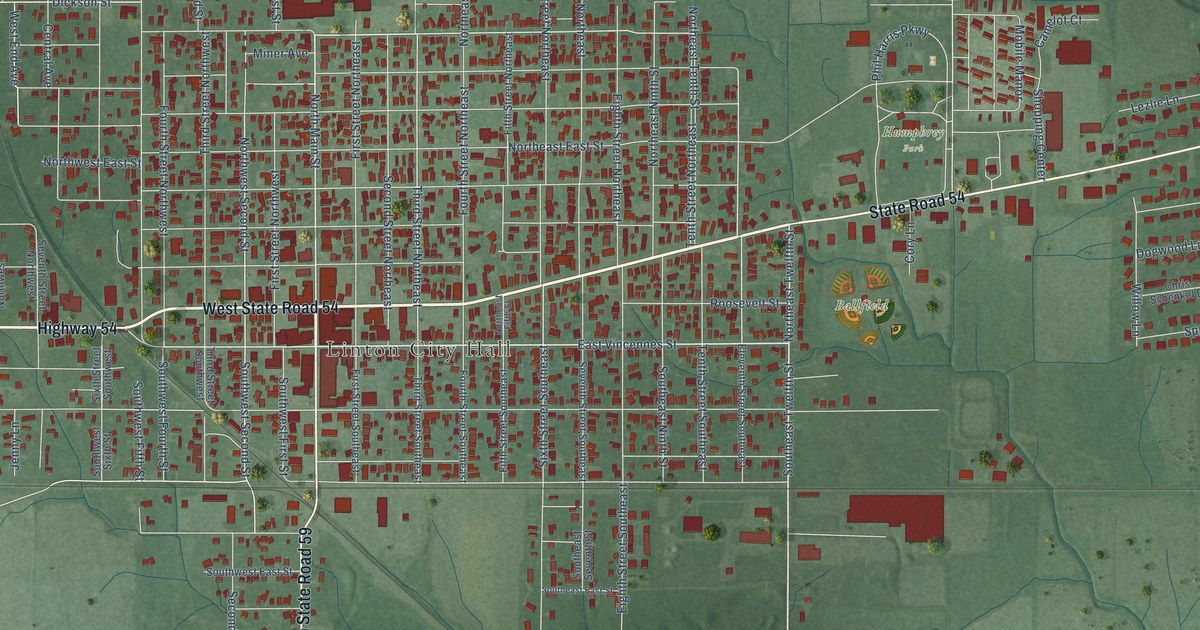
A detailed map of Linton, Indiana, showing every building in its true location, the roads by name, and shaded topographical relief.
Read More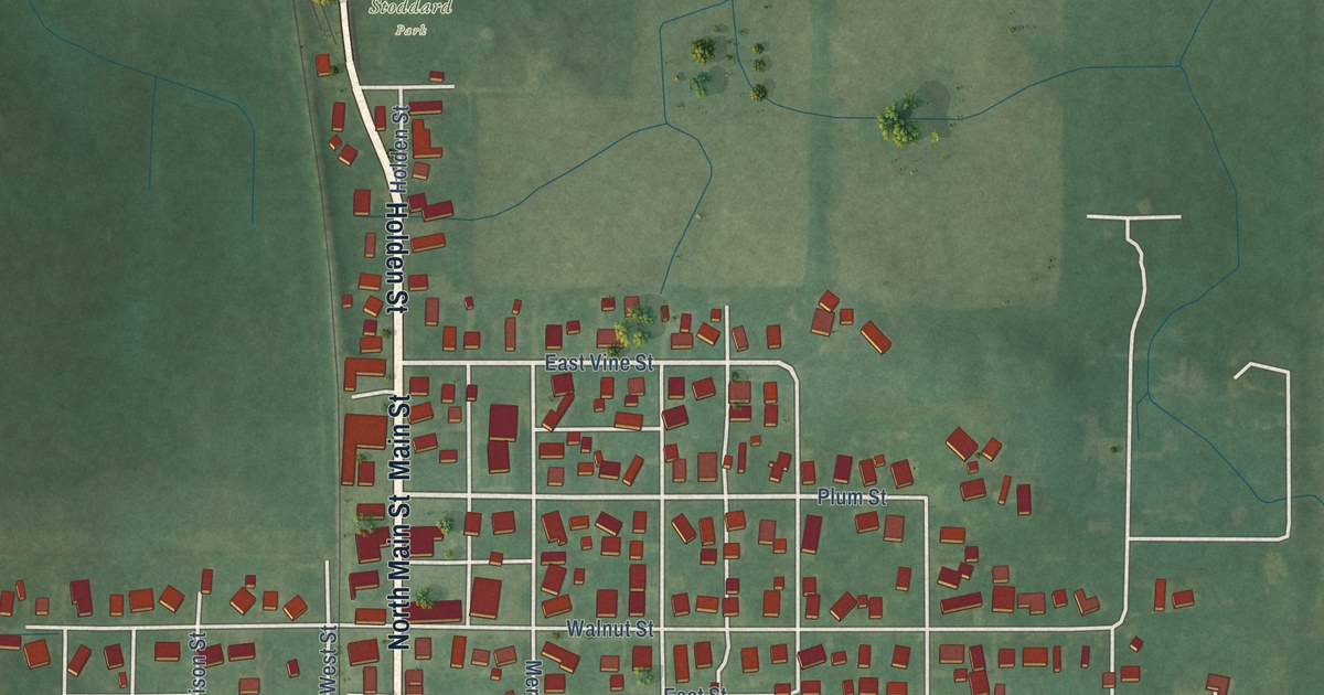
A detailed map of Linden, Indiana, showing every building in its true location, the roads by name, and shaded topographical relief.
Read More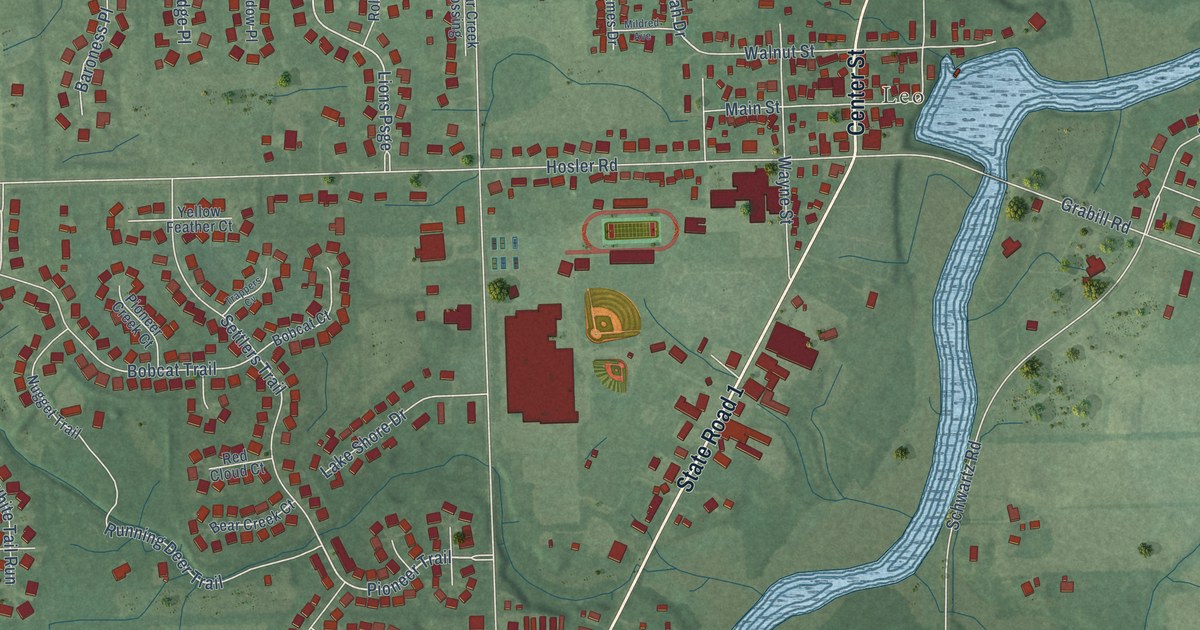
A detailed map of Leo-Cedarville, Indiana, showing every building in its true location, the roads by name, and shaded topographical relief.
Read More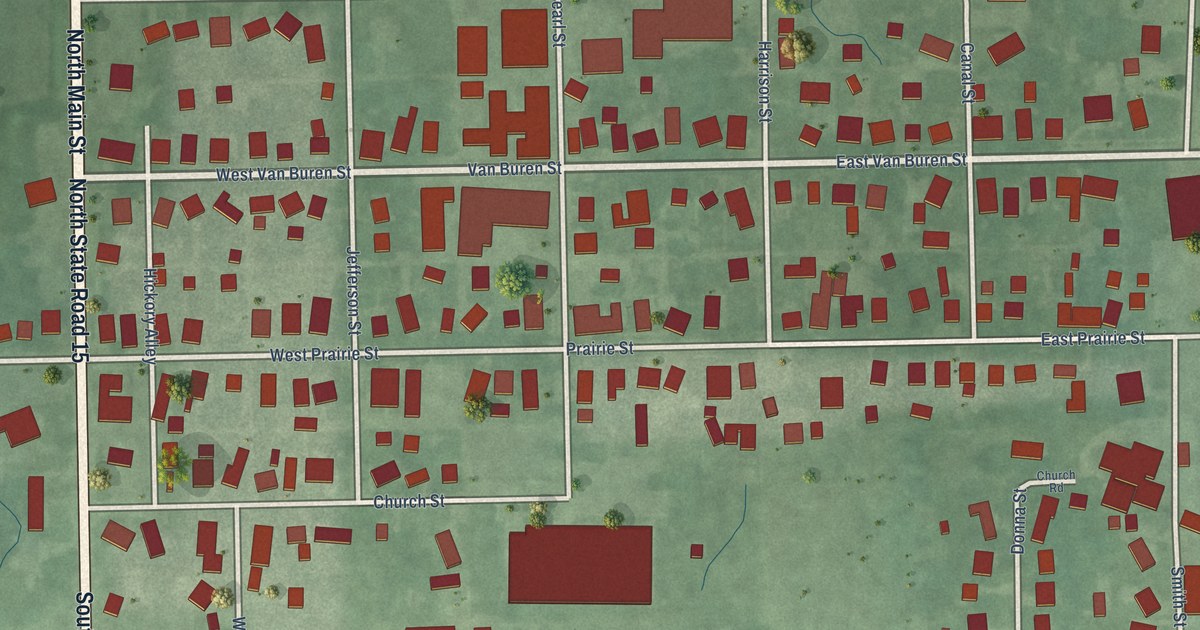
A detailed map of Leesburg, Indiana, showing every building in its true location, the roads by name, and shaded topographical relief.
Read More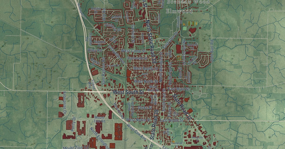
A detailed map of Lebanon, Indiana, showing every building in its true location, the roads by name, and shaded topographical relief.
Read More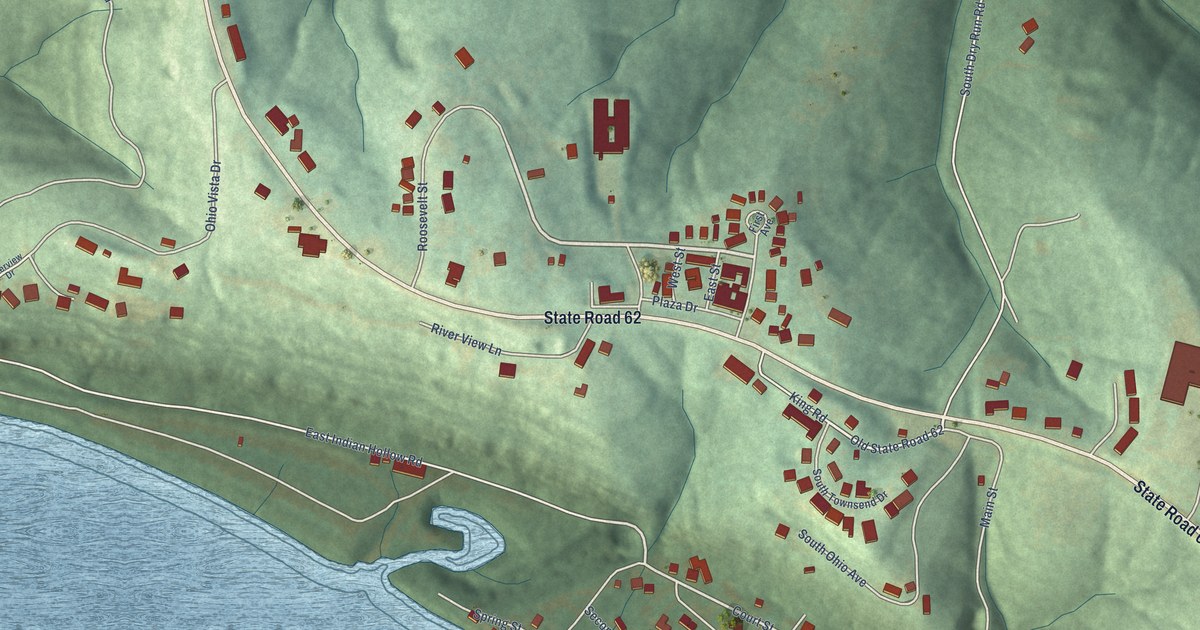
A detailed map of Leavenworth, Indiana, showing every building in its true location, the roads by name, and shaded topographical relief.
Read More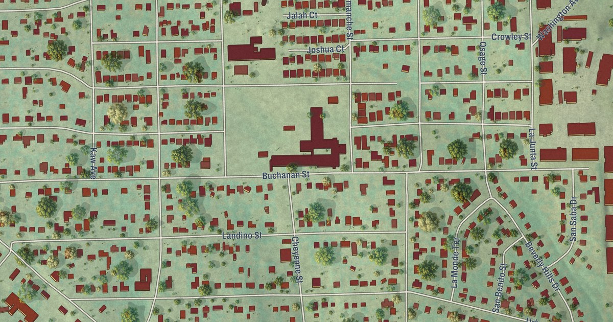
A detailed map of Sansom Park, Texas, showing every building in its true location, the roads by name, and shaded topographical relief.
Read More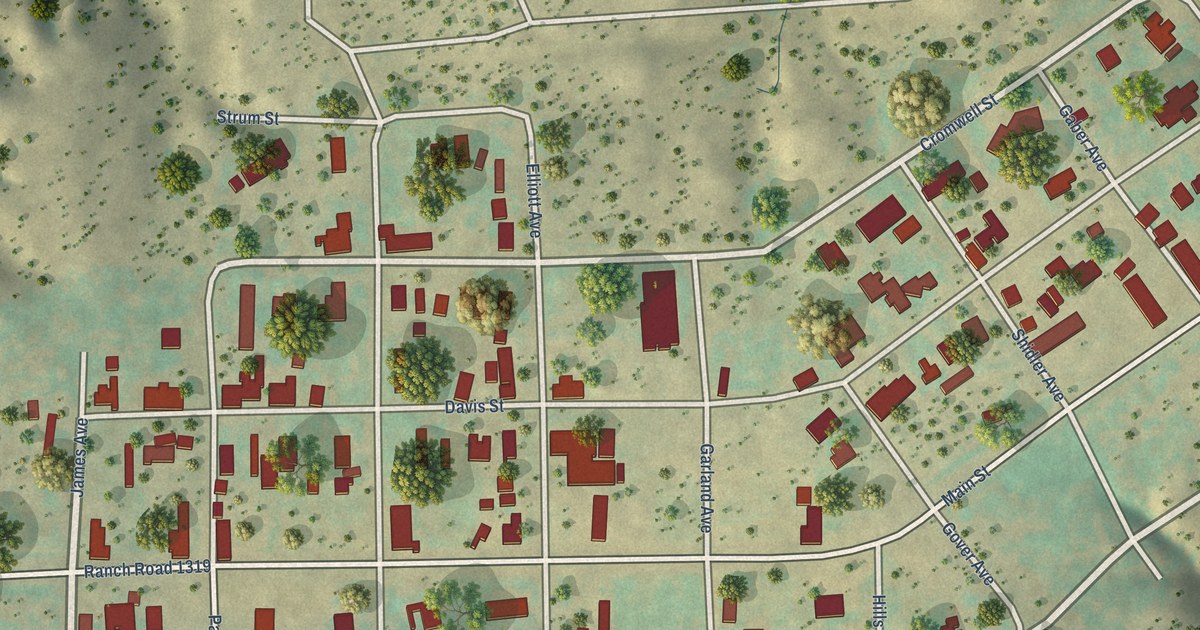
A detailed map of Sanford, Texas, showing every building in its true location, the roads by name, and shaded topographical relief.
Read More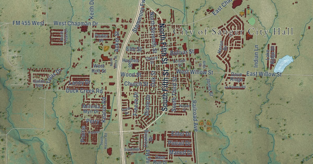
A detailed map of Sanger, Texas, showing every building in its true location, the roads by name, and shaded topographical relief.
Read More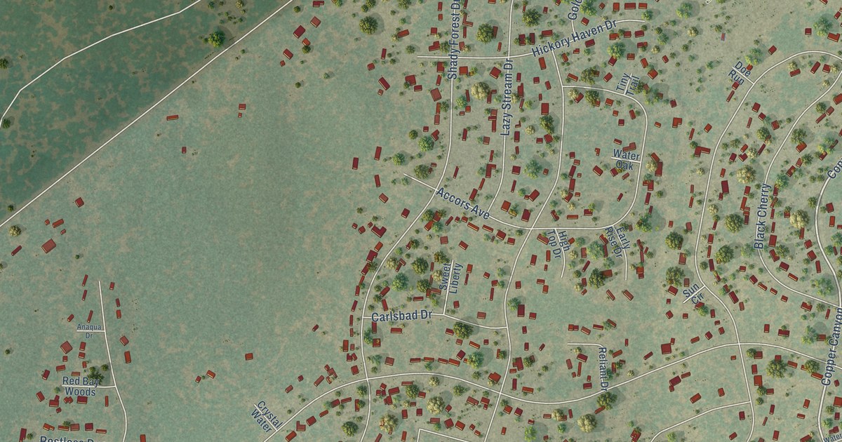
A detailed map of Sandy Oaks, Texas, showing every building in its true location, the roads by name, and shaded topographical relief.
Read More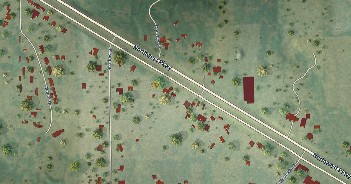
A detailed map of Sanctuary, Texas, showing every building in its true location, the roads by name, and shaded topographical relief.
Read More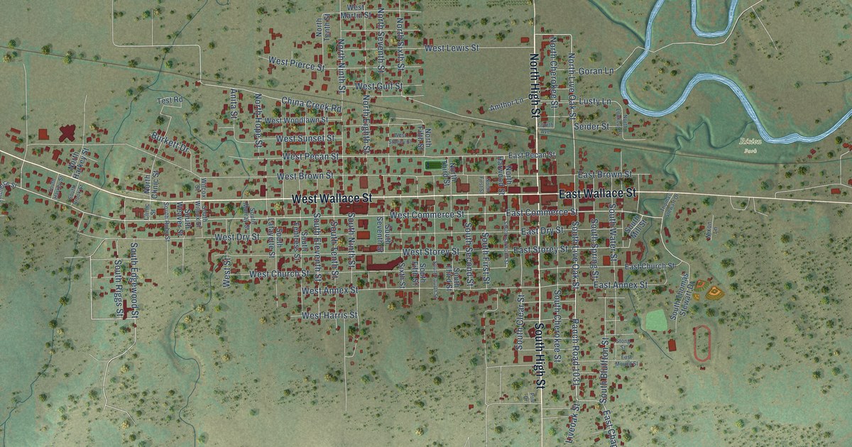
A detailed map of San Saba, Texas, showing every building in its true location, the roads by name, and shaded topographical relief.
Read More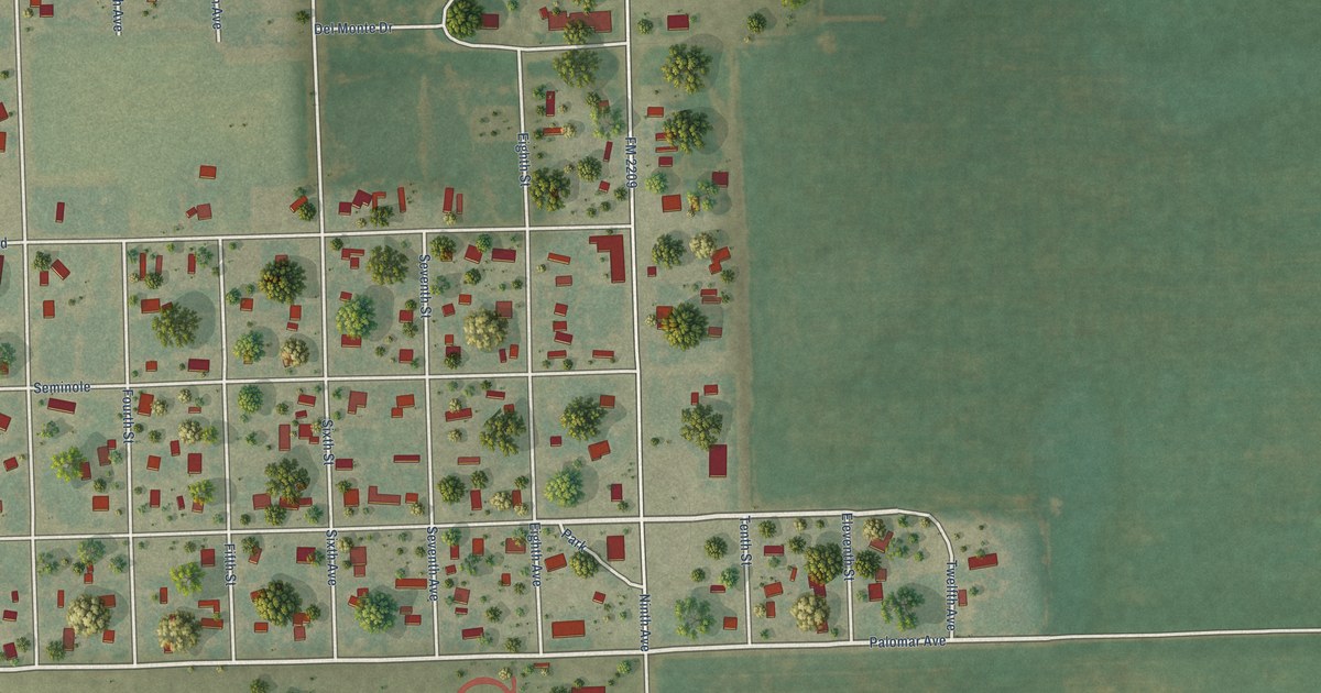
A detailed map of San Perlita, Texas, showing every building in its true location, the roads by name, and shaded topographical relief.
Read More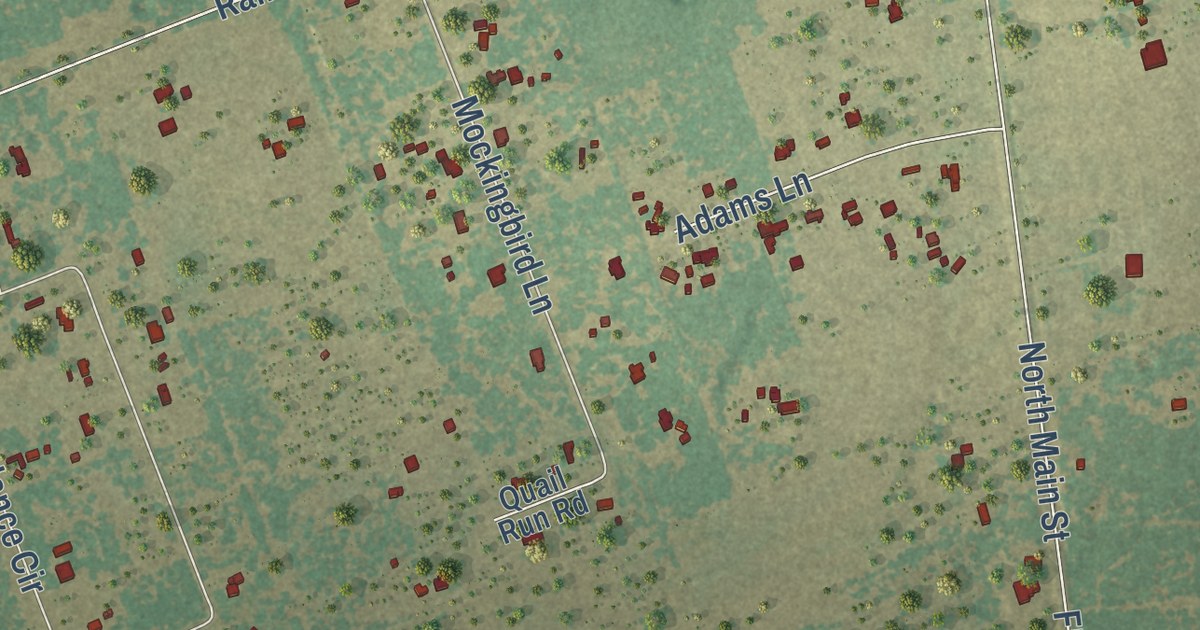
A detailed map of San Patricio, Texas, showing every building in its true location, the roads by name, and shaded topographical relief.
Read More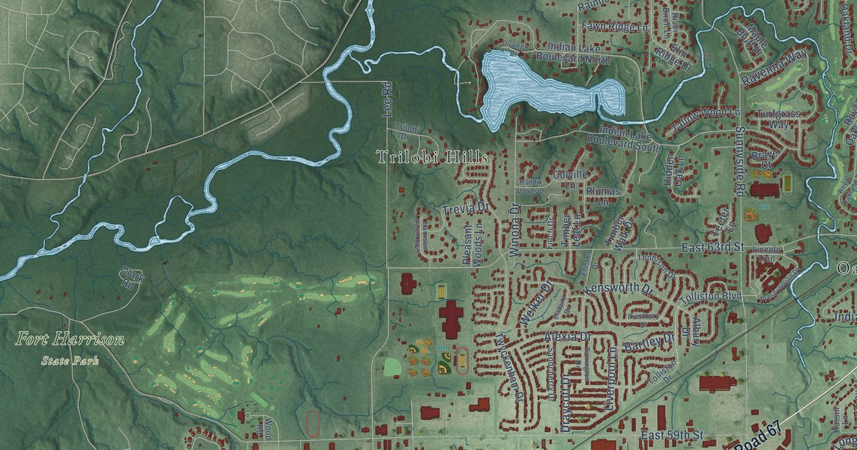
A detailed map of Lawrence, Indiana, showing every building in its true location, the roads by name, and shaded topographical relief.
Read More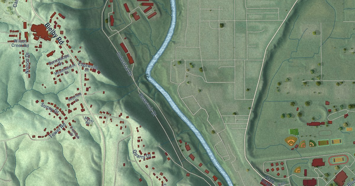
A detailed map of Lawrenceburg, Indiana, showing every building in its true location, the roads by name, and shaded topographical relief.
Read More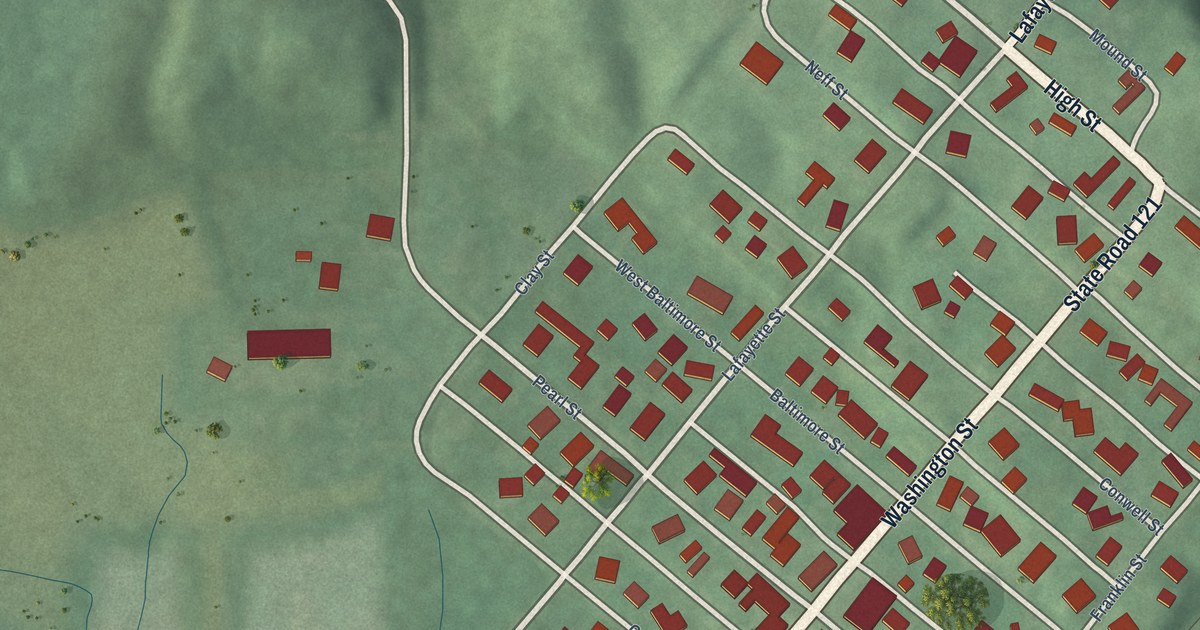
A detailed map of Laurel, Indiana, showing every building in its true location, the roads by name, and shaded topographical relief.
Read More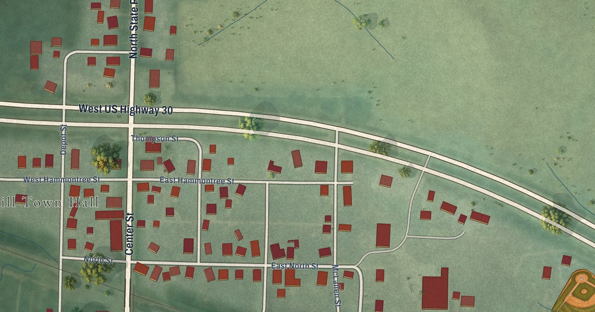
A detailed map of Larwill, Indiana, showing every building in its true location, the roads by name, and shaded topographical relief.
Read More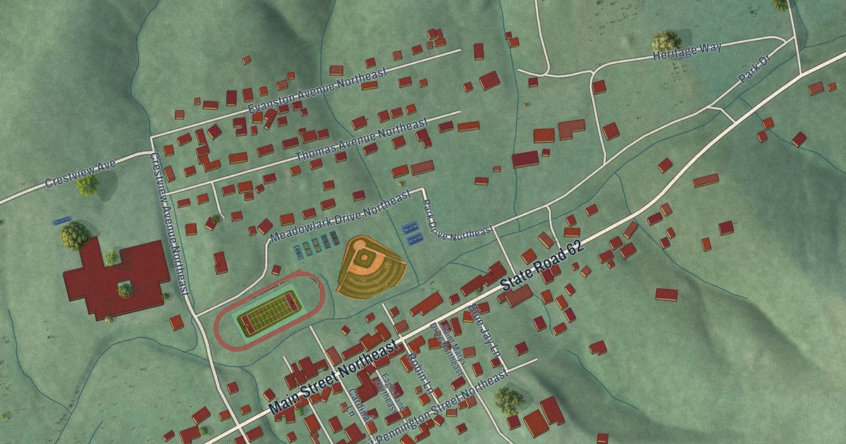
A detailed map of Lanesville, Indiana, showing every building in its true location, the roads by name, and shaded topographical relief.
Read More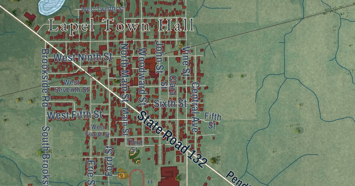
A detailed map of Lapel, Indiana, showing every building in its true location, the roads by name, and shaded topographical relief.
Read More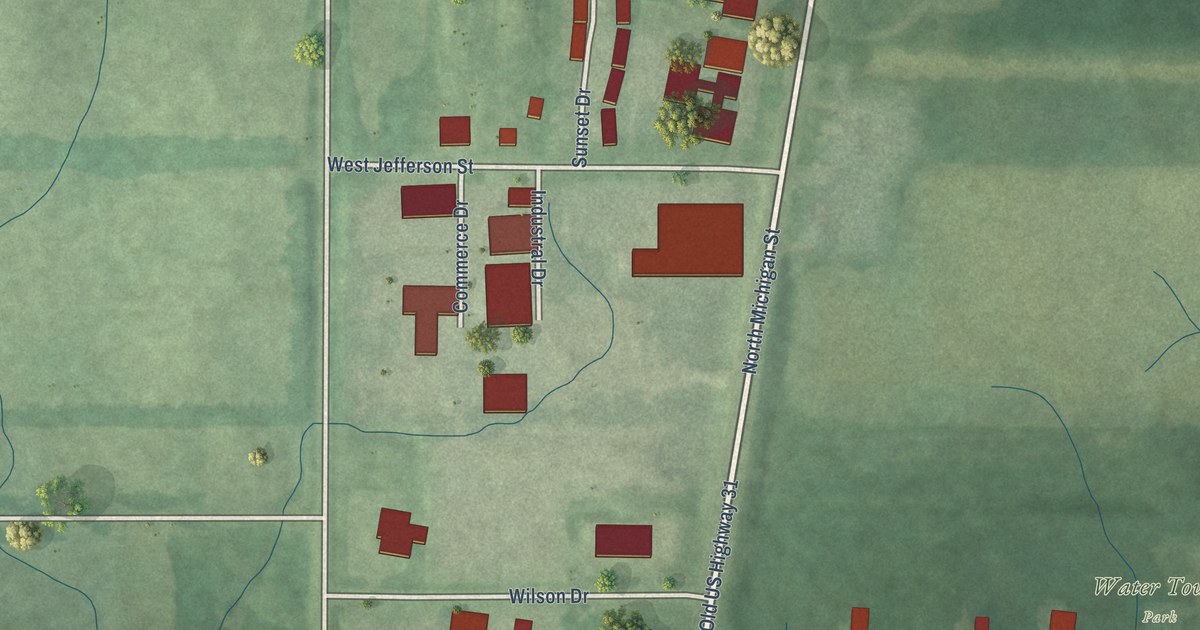
A detailed map of Lakeville, Indiana, showing every building in its true location, the roads by name, and shaded topographical relief.
Read More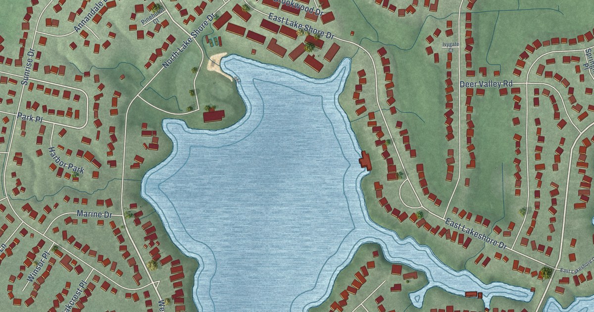
A detailed map of Lakes of the Four Seasons, Indiana, showing every building in its true location, the roads by name, and shaded topographical relief.
Read More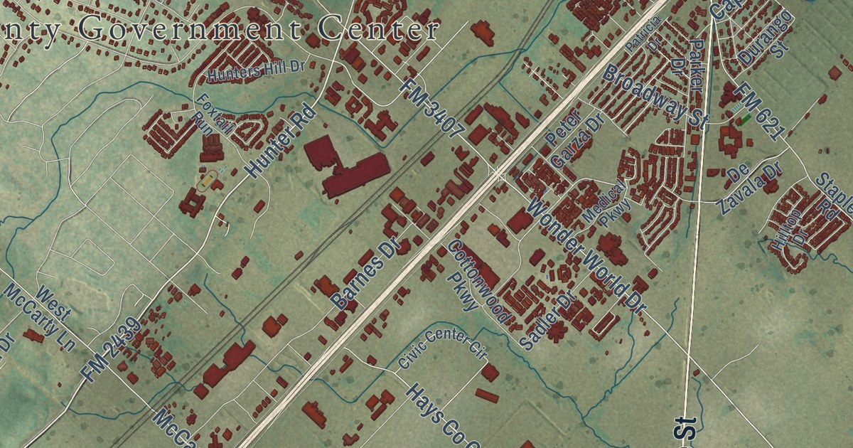
A detailed map of San Marcos, Texas, showing every building in its true location, the roads by name, and shaded topographical relief.
Read More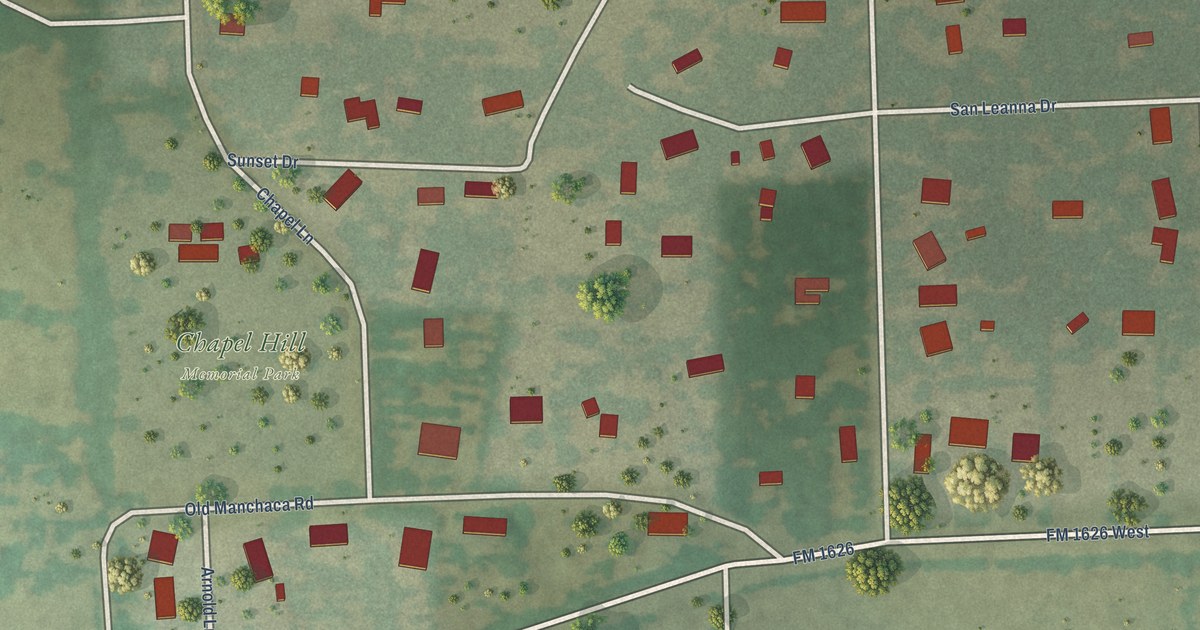
A detailed map of San Leanna, Texas, showing every building in its true location, the roads by name, and shaded topographical relief.
Read More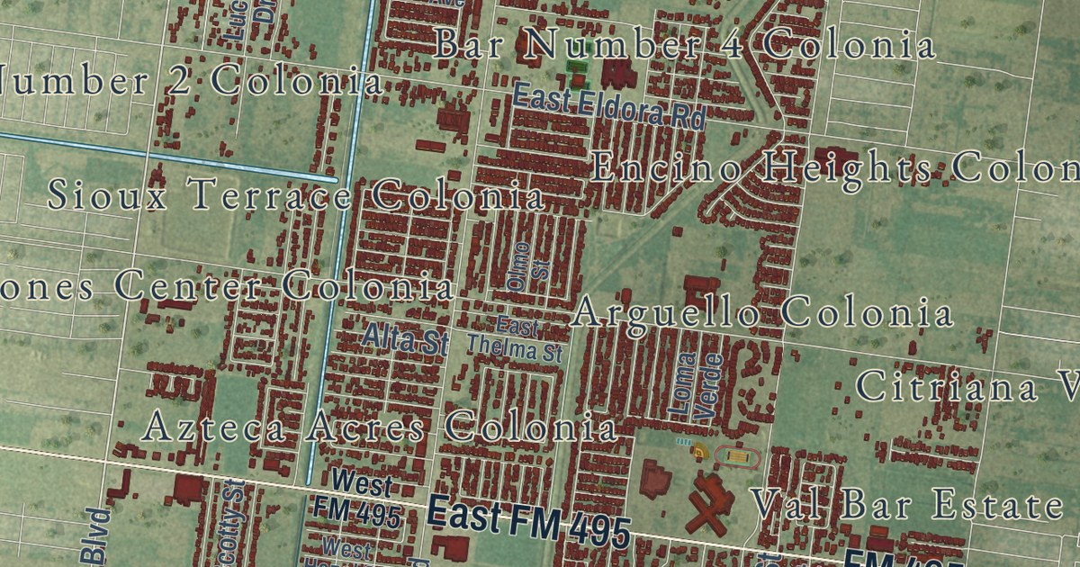
A detailed map of San Juan, Texas, showing every building in its true location, the roads by name, and shaded topographical relief.
Read More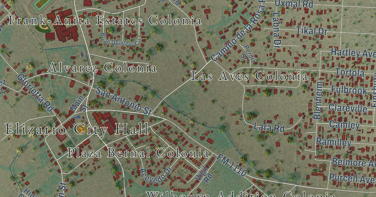
A detailed map of San Elizario, Texas, showing every building in its true location, the roads by name, and shaded topographical relief.
Read More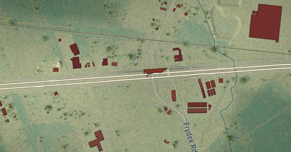
A detailed map of San Felipe, Texas, showing every building in its true location, the roads by name, and shaded topographical relief.
Read More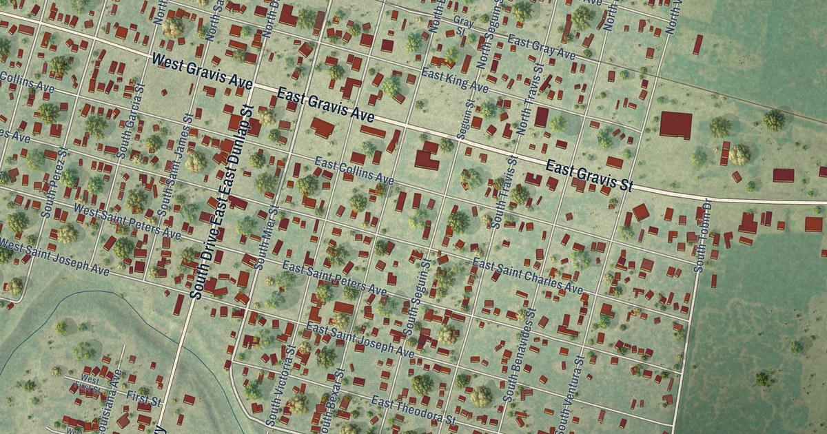
A detailed map of San Diego, Texas, showing every building in its true location, the roads by name, and shaded topographical relief.
Read More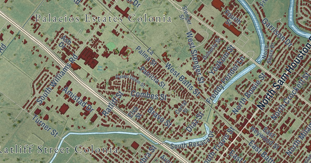
A detailed map of San Benito, Texas, showing every building in its true location, the roads by name, and shaded topographical relief.
Read More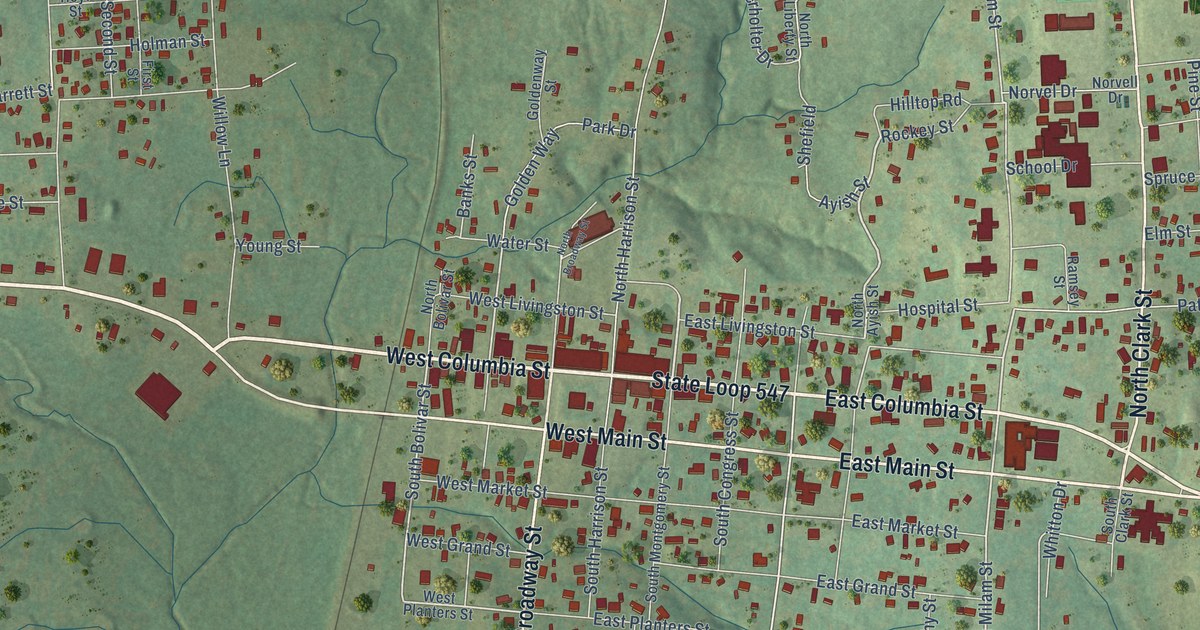
A detailed map of San Augustine, Texas, showing every building in its true location, the roads by name, and shaded topographical relief.
Read More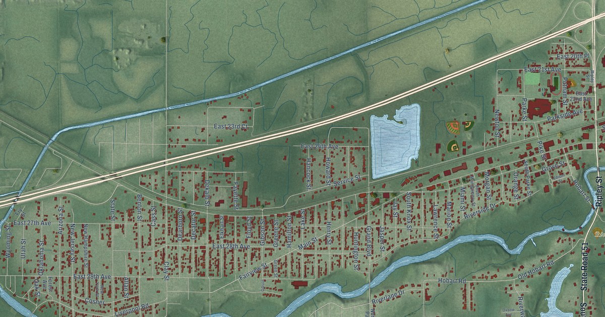
A detailed map of Lake Station, Indiana, showing every building in its true location, the roads by name, and shaded topographical relief.
Read More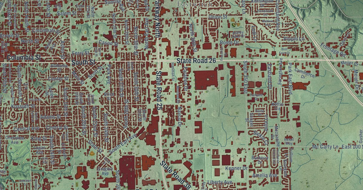
A detailed map of Lafayette, Indiana, showing every building in its true location, the roads by name, and shaded topographical relief.
Read More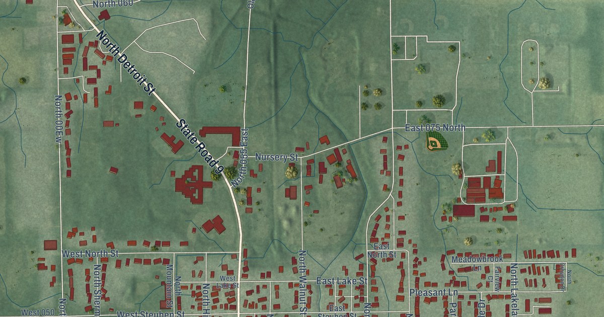
A detailed map of Lagrange, Indiana, showing every building in its true location, the roads by name, and shaded topographical relief.
Read More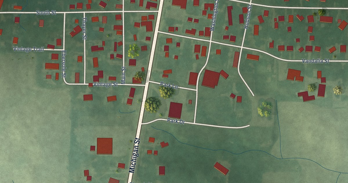
A detailed map of La Paz, Indiana, showing every building in its true location, the roads by name, and shaded topographical relief.
Read More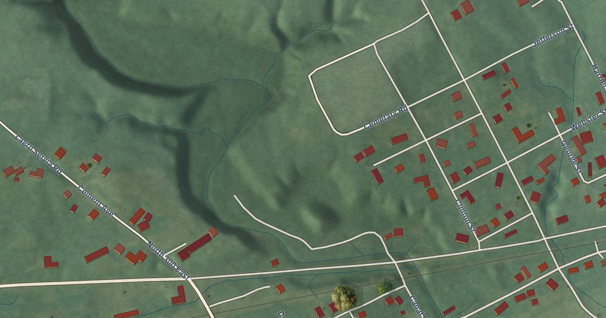
A detailed map of Lagro, Indiana, showing every building in its true location, the roads by name, and shaded topographical relief.
Read More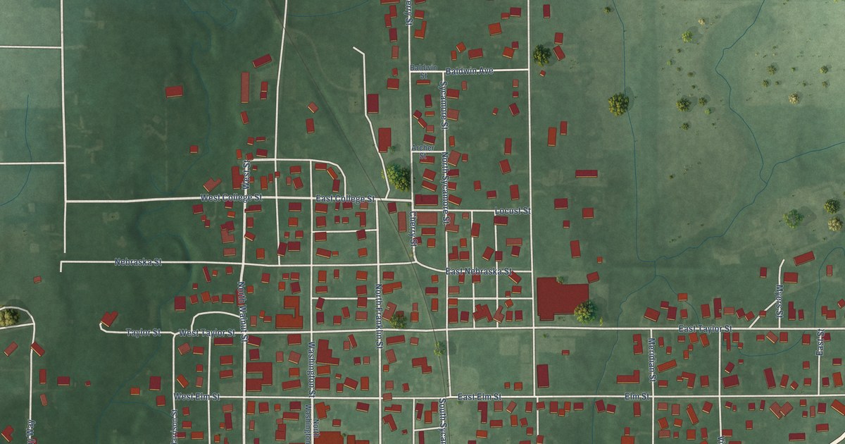
A detailed map of Ladoga, Indiana, showing every building in its true location, the roads by name, and shaded topographical relief.
Read More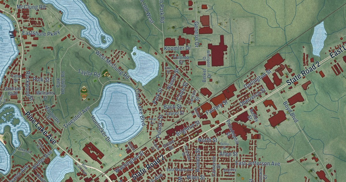
A detailed map of La Porte, Indiana, showing every building in its true location, the roads by name, and shaded topographical relief.
Read More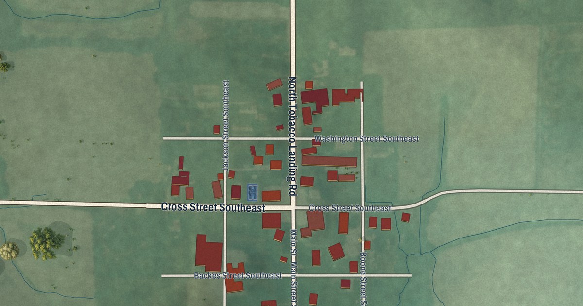
A detailed map of Laconia, Indiana, showing every building in its true location, the roads by name, and shaded topographical relief.
Read More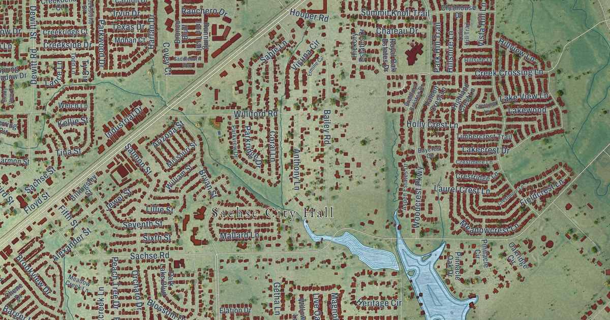
A detailed map of Sachse, Texas, showing every building in its true location, the roads by name, and shaded topographical relief.
Read More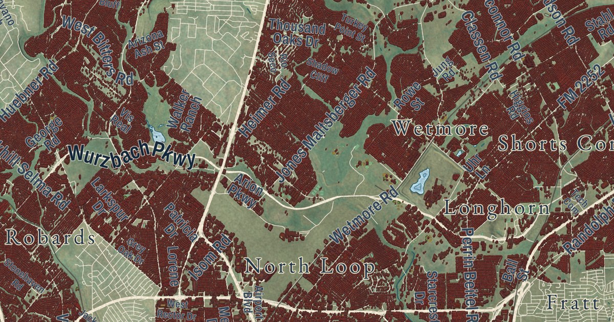
A detailed map of San Antonio, Texas, showing every building in its true location, the roads by name, and shaded topographical relief.
Read More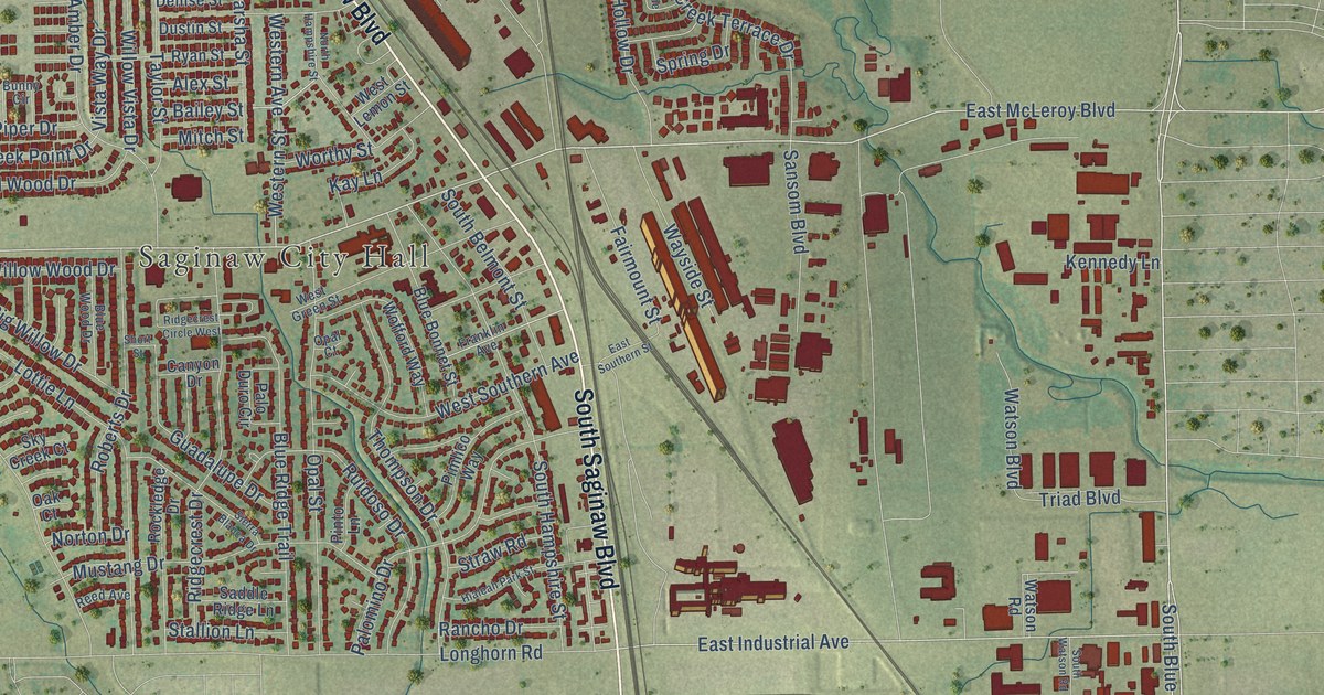
A detailed map of Saginaw, Texas, showing every building in its true location, the roads by name, and shaded topographical relief.
Read More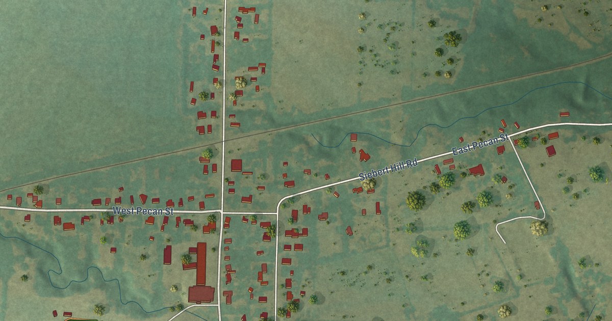
A detailed map of Sadler, Texas, showing every building in its true location, the roads by name, and shaded topographical relief.
Read More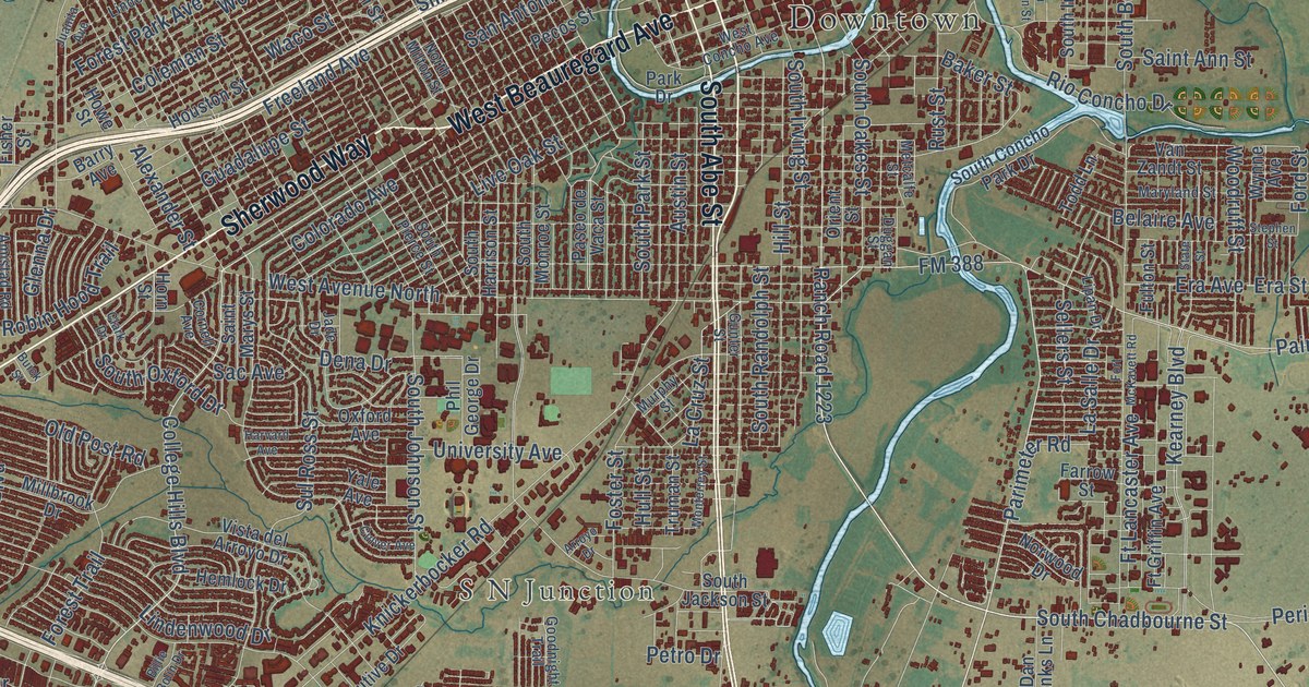
A detailed map of San Angelo, Texas, showing every building in its true location, the roads by name, and shaded topographical relief.
Read More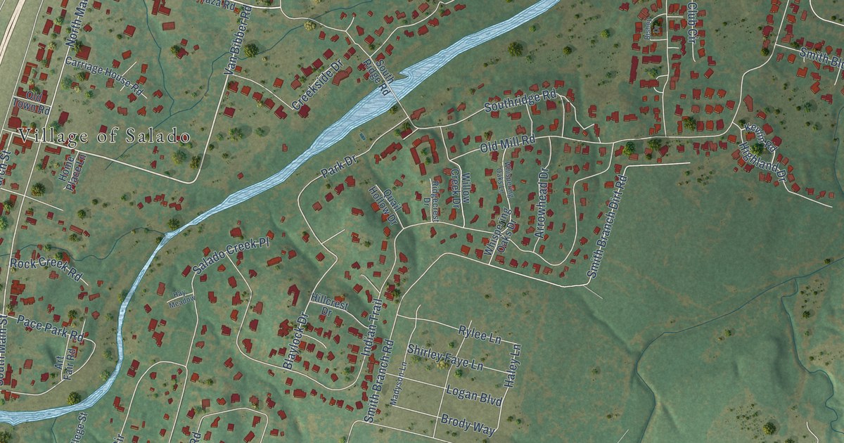
A detailed map of Salado, Texas, showing every building in its true location, the roads by name, and shaded topographical relief.
Read More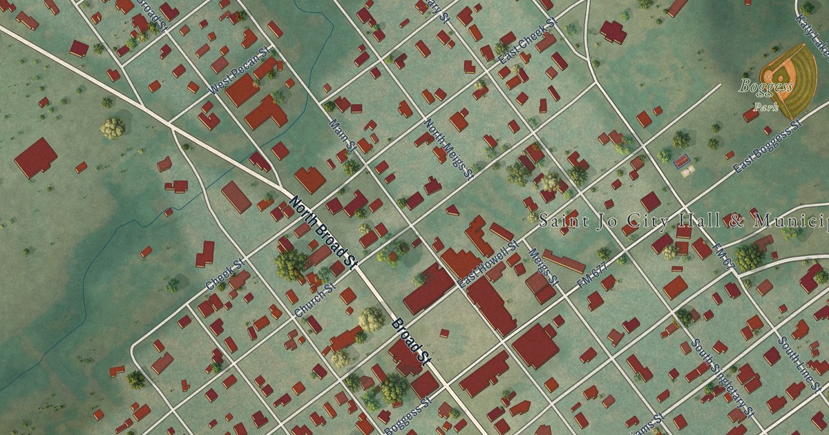
A detailed map of Saint Jo, Texas, showing every building in its true location, the roads by name, and shaded topographical relief.
Read More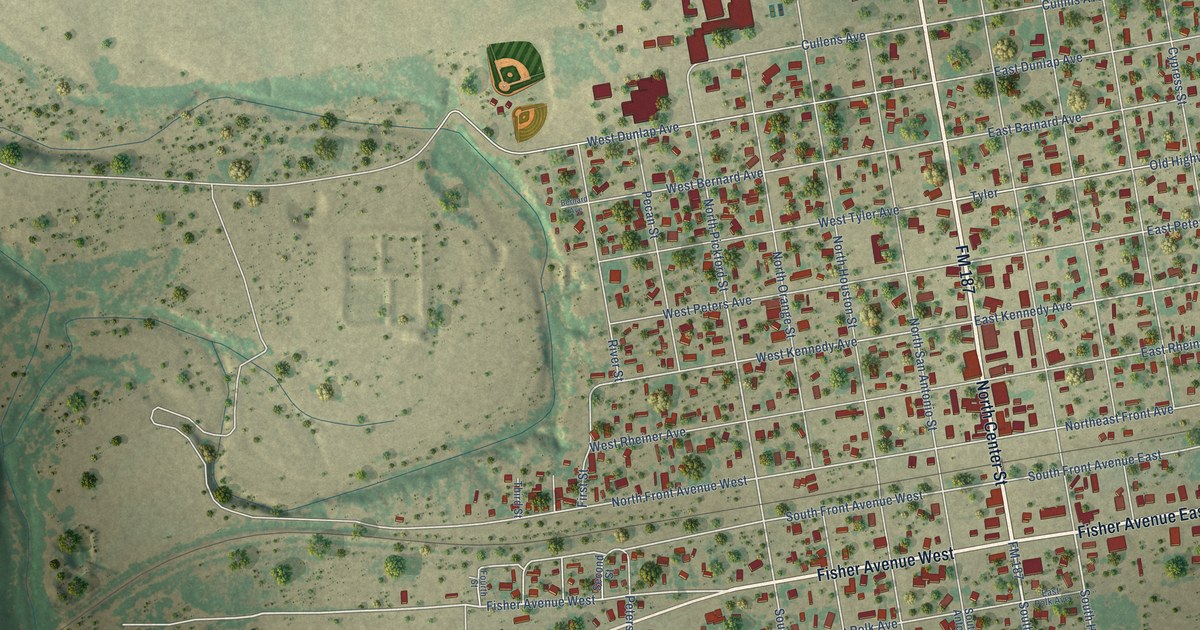
A detailed map of Sabinal, Texas, showing every building in its true location, the roads by name, and shaded topographical relief.
Read More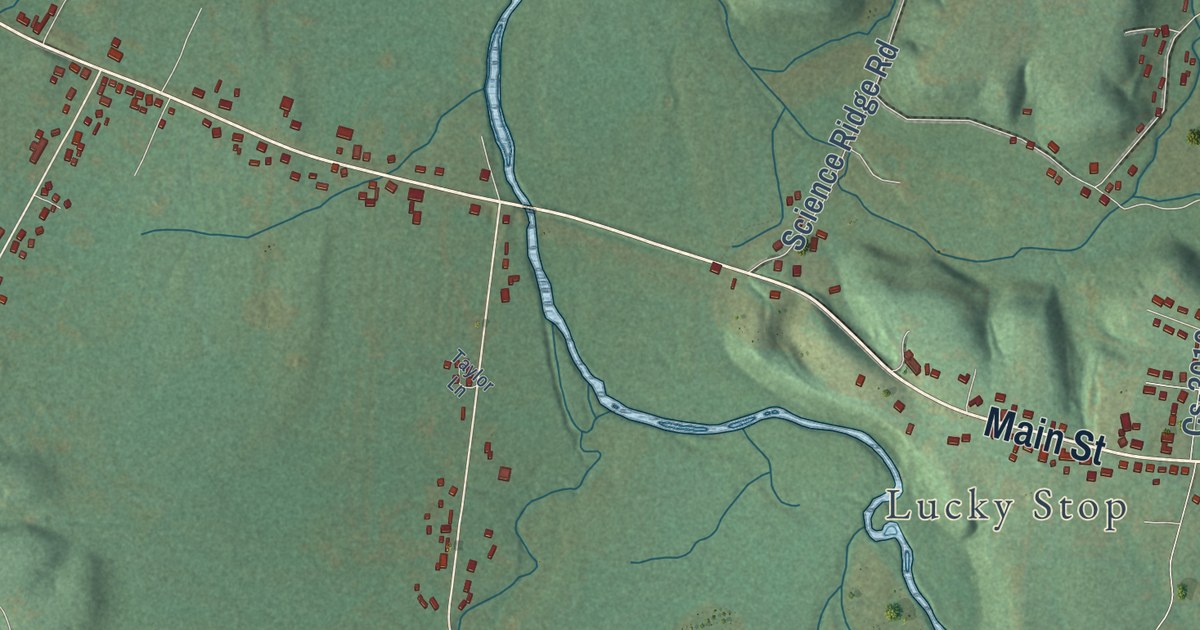
A detailed map of Jeffersonville, Kentucky, showing every building in its true location, the roads by name, and shaded topographical relief.
Read More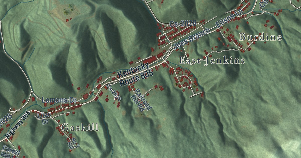
A detailed map of Jenkins, Kentucky, showing every building in its true location, the roads by name, and shaded topographical relief.
Read More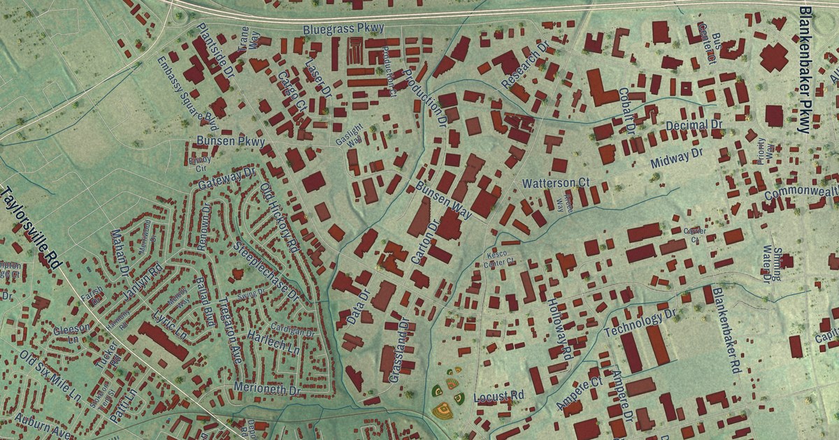
A detailed map of Jeffersontown, Kentucky, showing every building in its true location, the roads by name, and shaded topographical relief.
Read More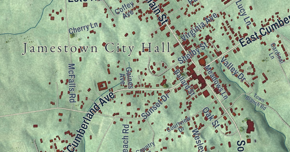
A detailed map of Jamestown, Kentucky, showing every building in its true location, the roads by name, and shaded topographical relief.
Read More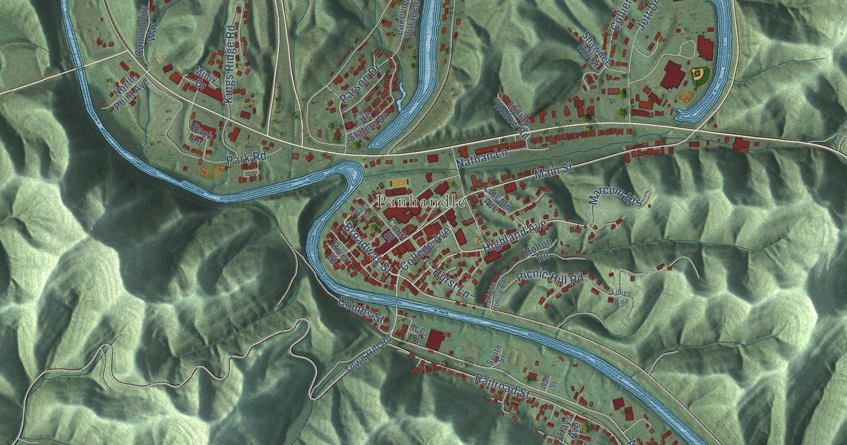
A detailed map of Jackson, Kentucky, showing every building in its true location, the roads by name, and shaded topographical relief.
Read More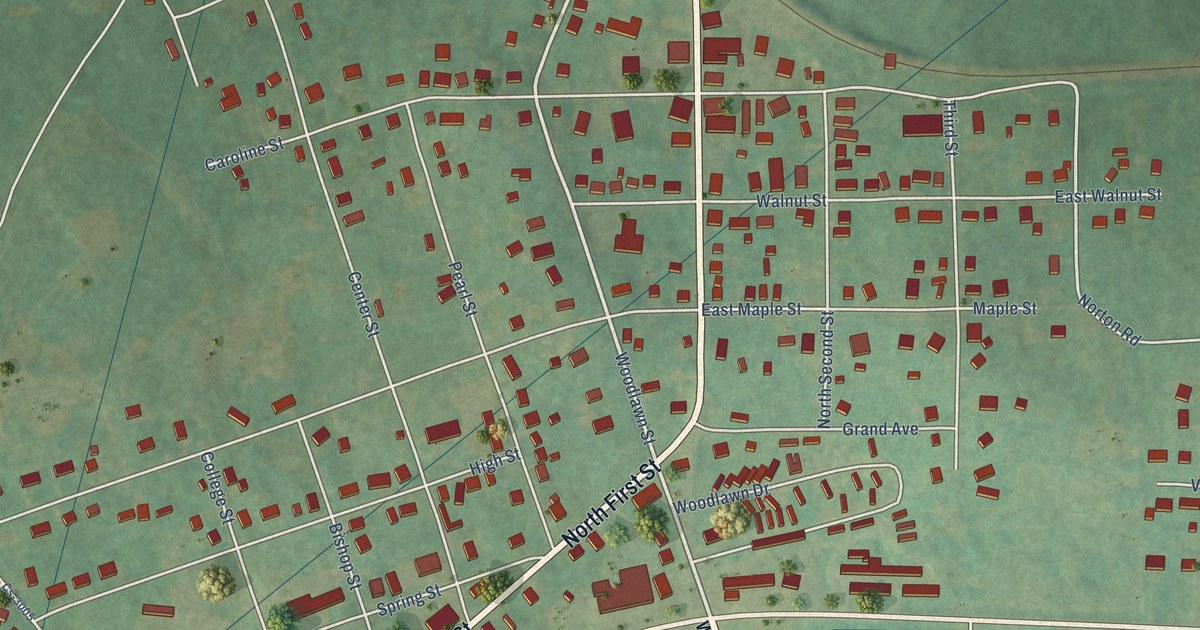
A detailed map of Irvington, Kentucky, showing every building in its true location, the roads by name, and shaded topographical relief.
Read More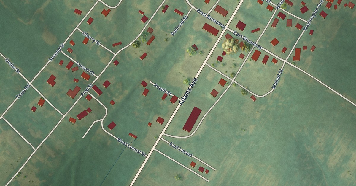
A detailed map of Island, Kentucky, showing every building in its true location, the roads by name, and shaded topographical relief.
Read More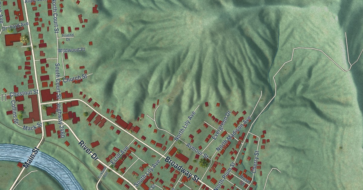
A detailed map of Irvine, Kentucky, showing every building in its true location, the roads by name, and shaded topographical relief.
Read More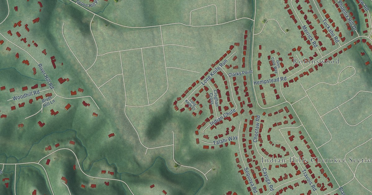
A detailed map of Indian Hills, Kentucky, showing every building in its true location, the roads by name, and shaded topographical relief.
Read More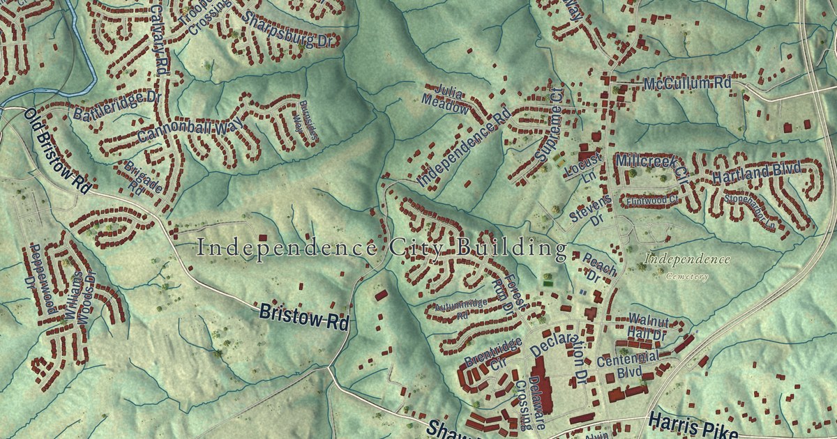
A detailed map of Independence, Kentucky, showing every building in its true location, the roads by name, and shaded topographical relief.
Read More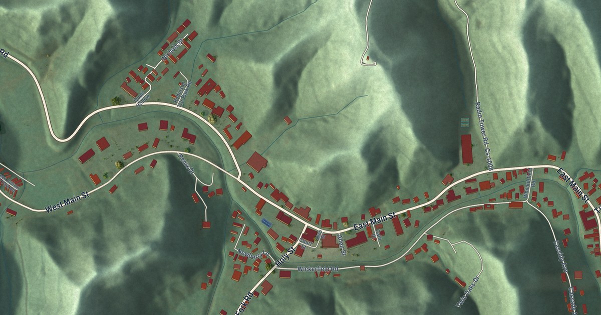
A detailed map of Inez, Kentucky, showing every building in its true location, the roads by name, and shaded topographical relief.
Read More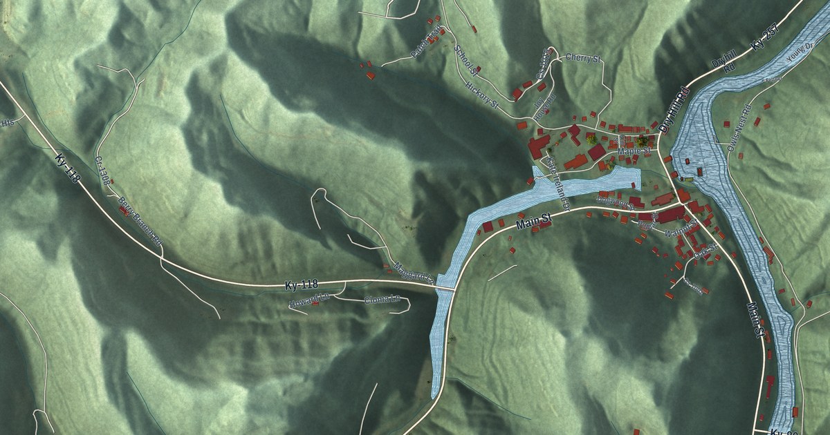
A detailed map of Hyden, Kentucky, showing every building in its true location, the roads by name, and shaded topographical relief.
Read More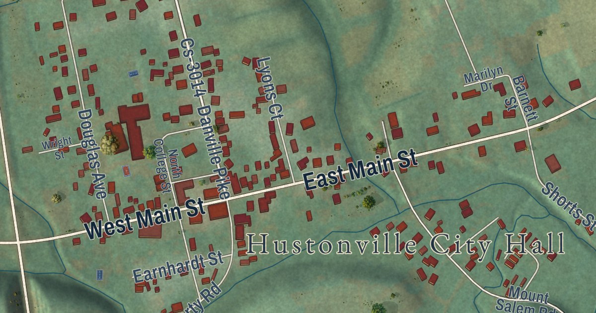
A detailed map of Hustonville, Kentucky, showing every building in its true location, the roads by name, and shaded topographical relief.
Read More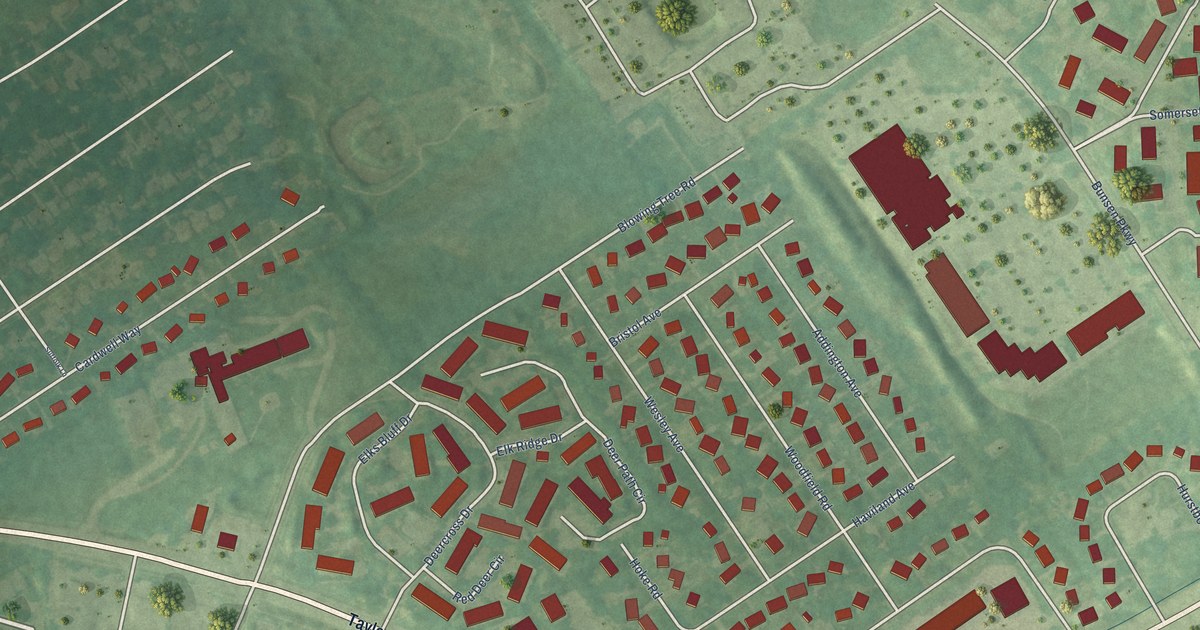
A detailed map of Hurstbourne Acres, Kentucky, showing every building in its true location, the roads by name, and shaded topographical relief.
Read More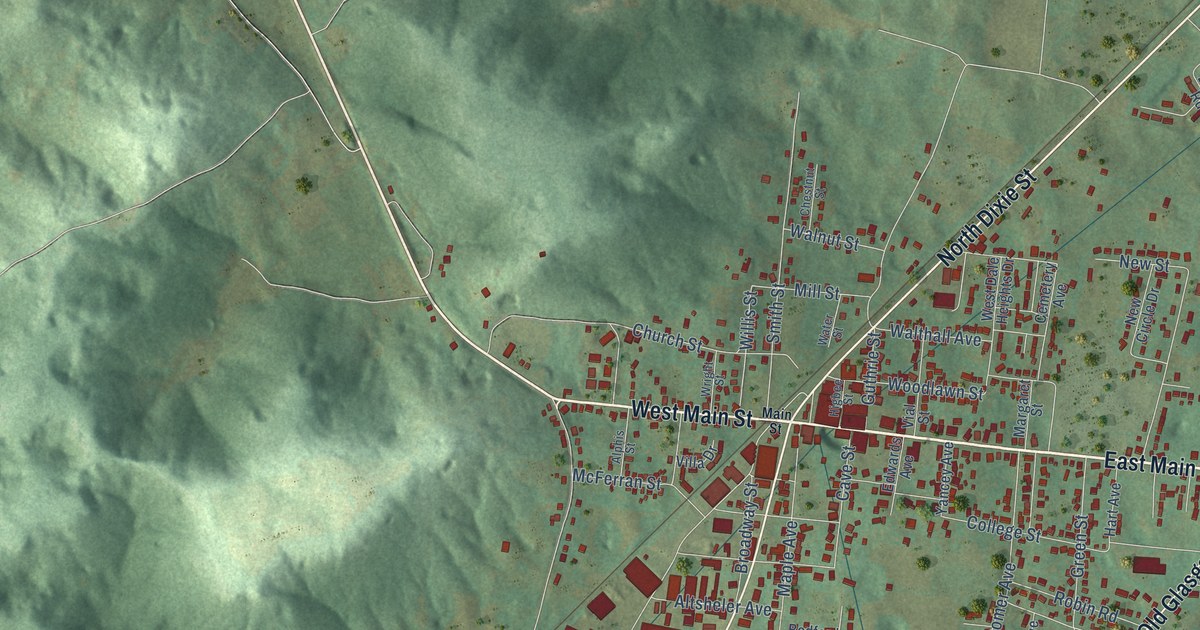
A detailed map of Horse Cave, Kentucky, showing every building in its true location, the roads by name, and shaded topographical relief.
Read More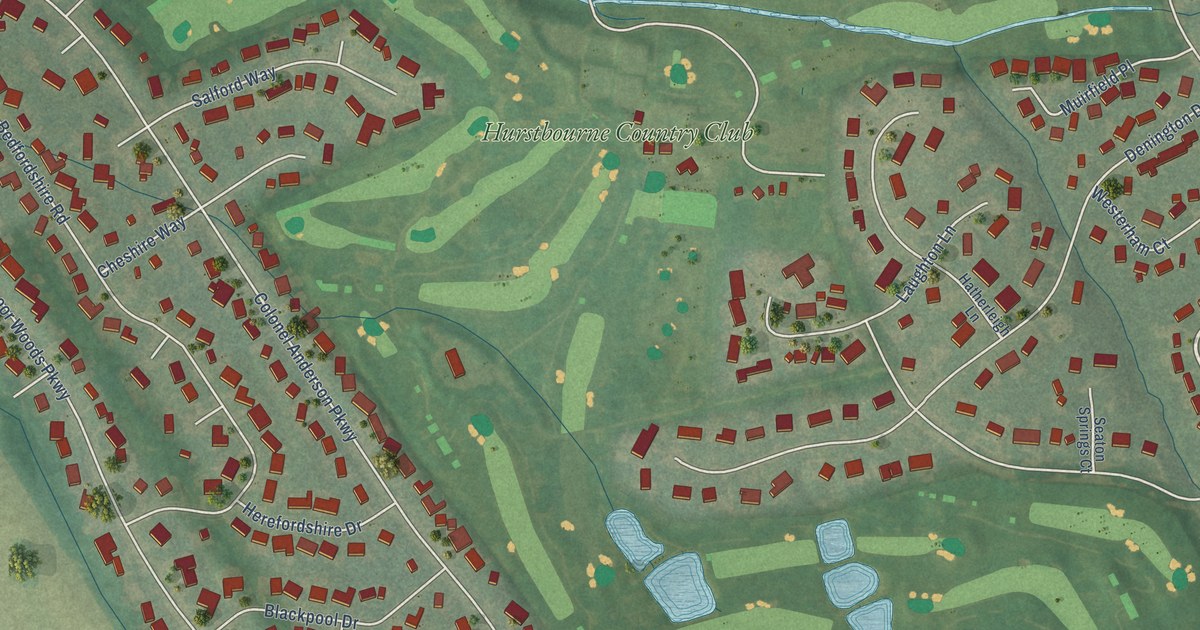
A detailed map of Hurstbourne, Kentucky, showing every building in its true location, the roads by name, and shaded topographical relief.
Read More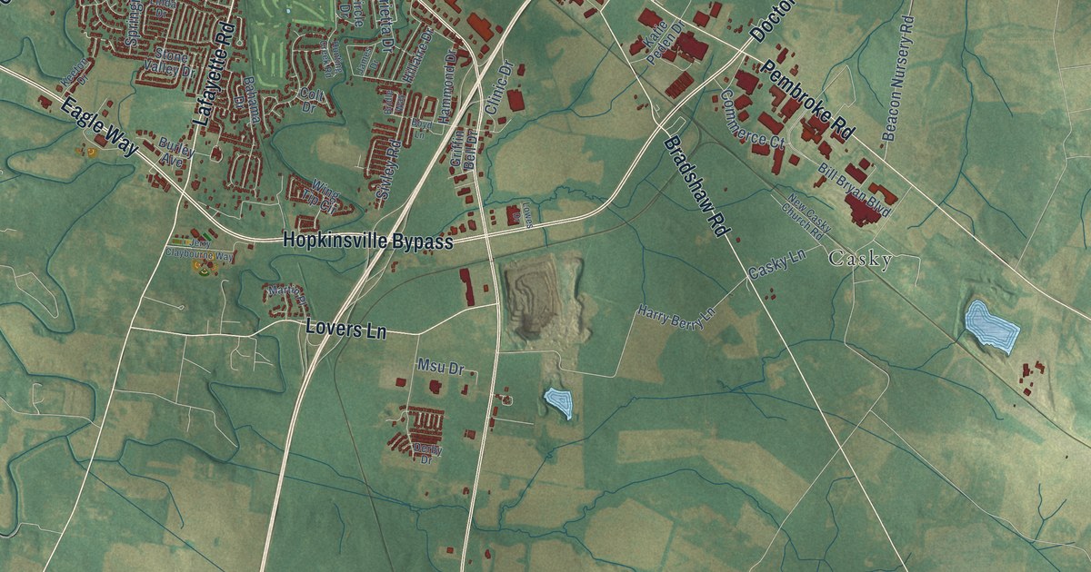
A detailed map of Hopkinsville, Kentucky, showing every building in its true location, the roads by name, and shaded topographical relief.
Read More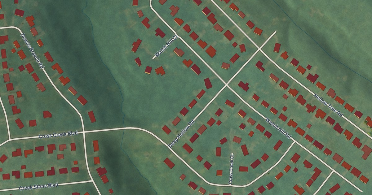
A detailed map of Hollow Creek, Kentucky, showing every building in its true location, the roads by name, and shaded topographical relief.
Read More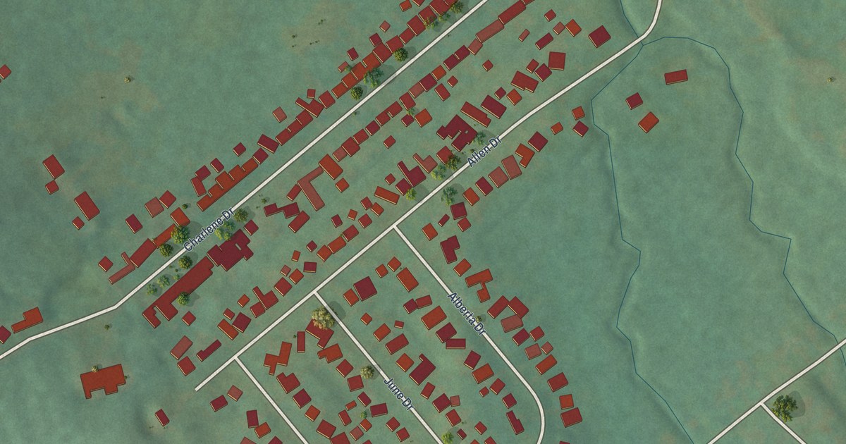
A detailed map of Hollyvilla, Kentucky, showing every building in its true location, the roads by name, and shaded topographical relief.
Read More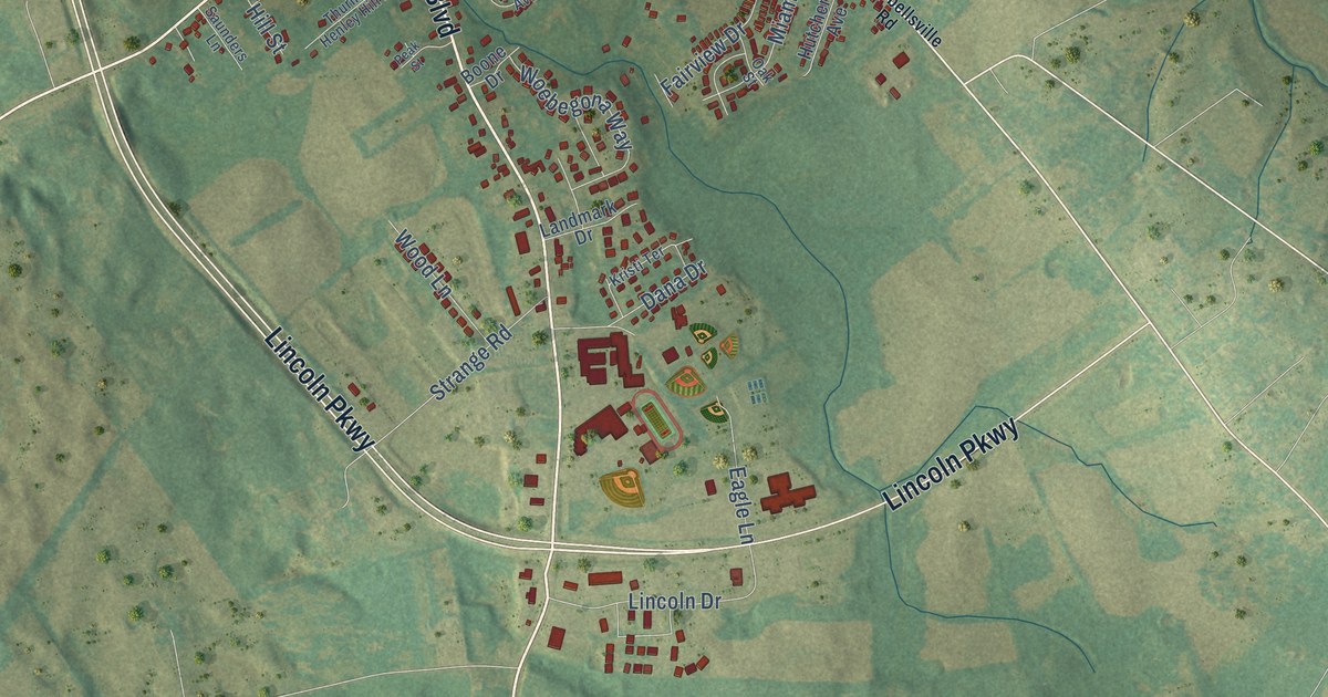
A detailed map of Hodgenville, Kentucky, showing every building in its true location, the roads by name, and shaded topographical relief.
Read More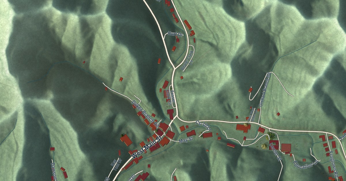
A detailed map of Hindman, Kentucky, showing every building in its true location, the roads by name, and shaded topographical relief.
Read More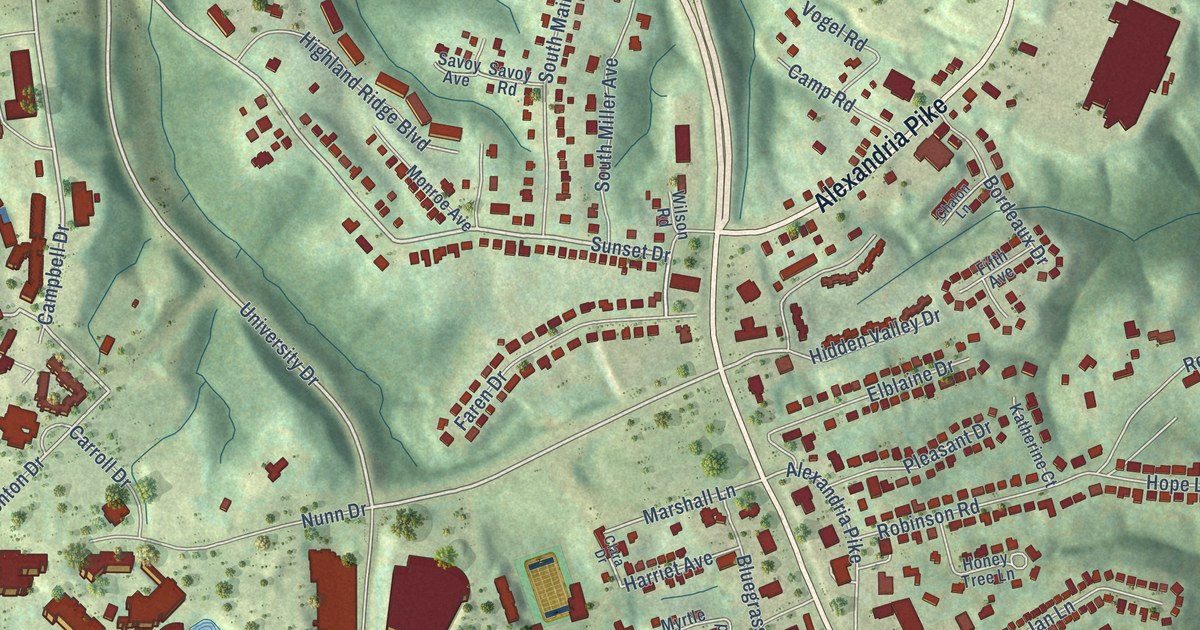
A detailed map of Highland Heights, Kentucky, showing every building in its true location, the roads by name, and shaded topographical relief.
Read More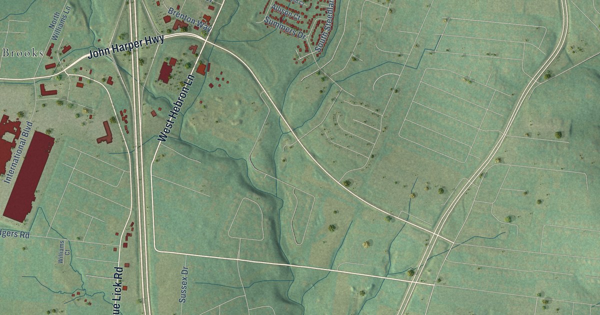
A detailed map of Hillview, Kentucky, showing every building in its true location, the roads by name, and shaded topographical relief.
Read More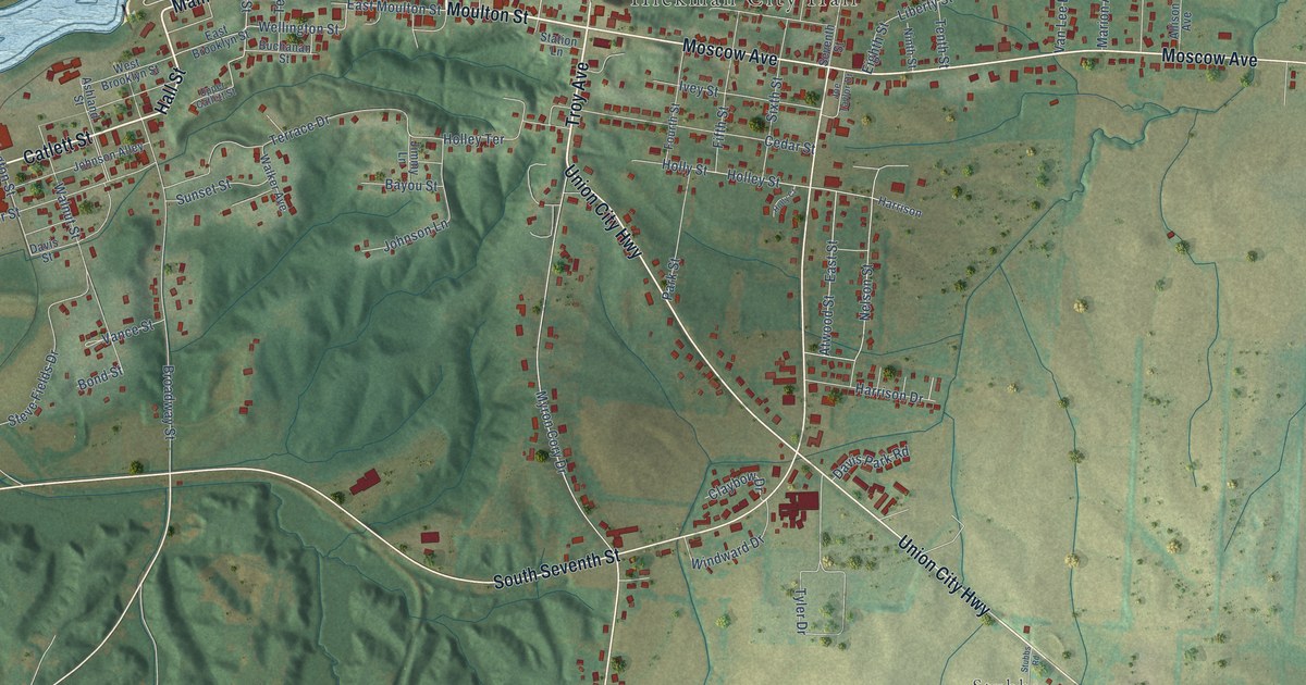
A detailed map of Hickman, Kentucky, showing every building in its true location, the roads by name, and shaded topographical relief.
Read More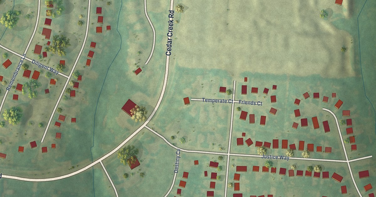
A detailed map of Heritage Creek, Kentucky, showing every building in its true location, the roads by name, and shaded topographical relief.
Read More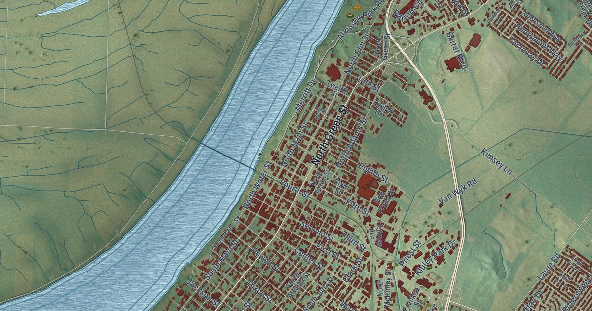
A detailed map of Henderson, Kentucky, showing every building in its true location, the roads by name, and shaded topographical relief.
Read More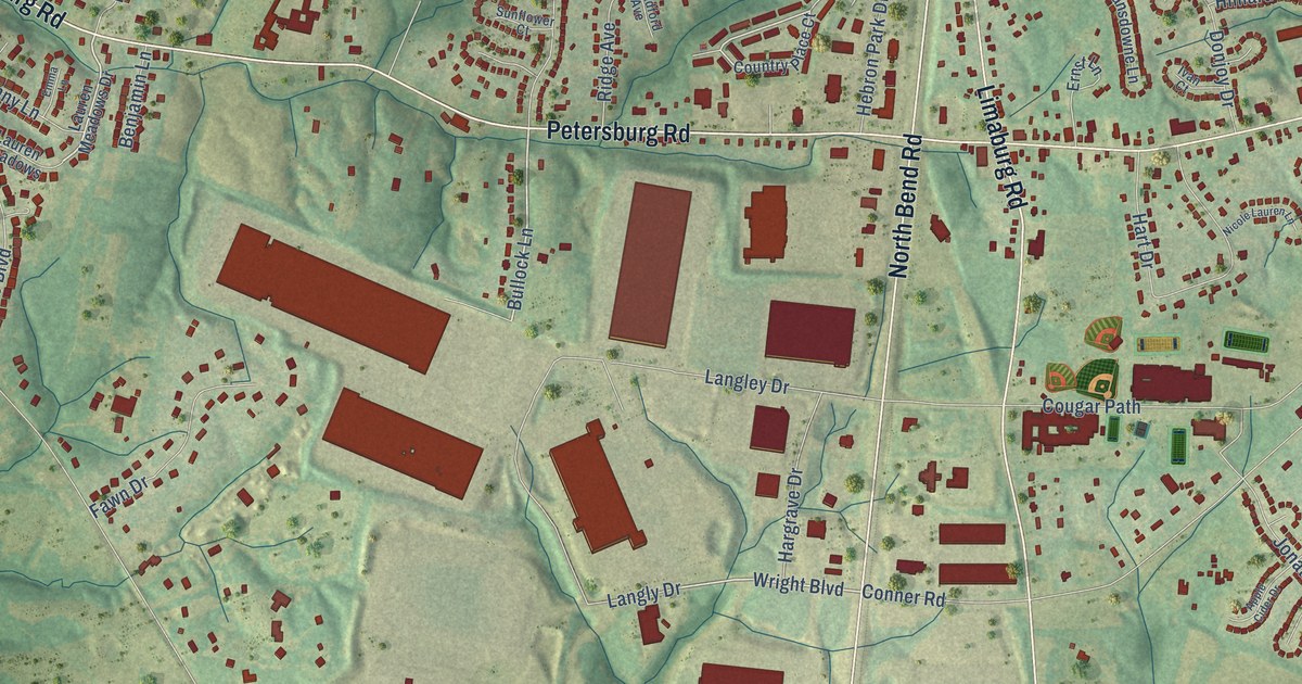
A detailed map of Hebron, Kentucky, showing every building in its true location, the roads by name, and shaded topographical relief.
Read More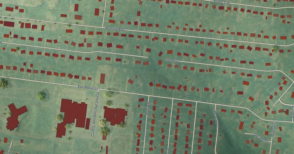
A detailed map of Hebron Estates, Kentucky, showing every building in its true location, the roads by name, and shaded topographical relief.
Read More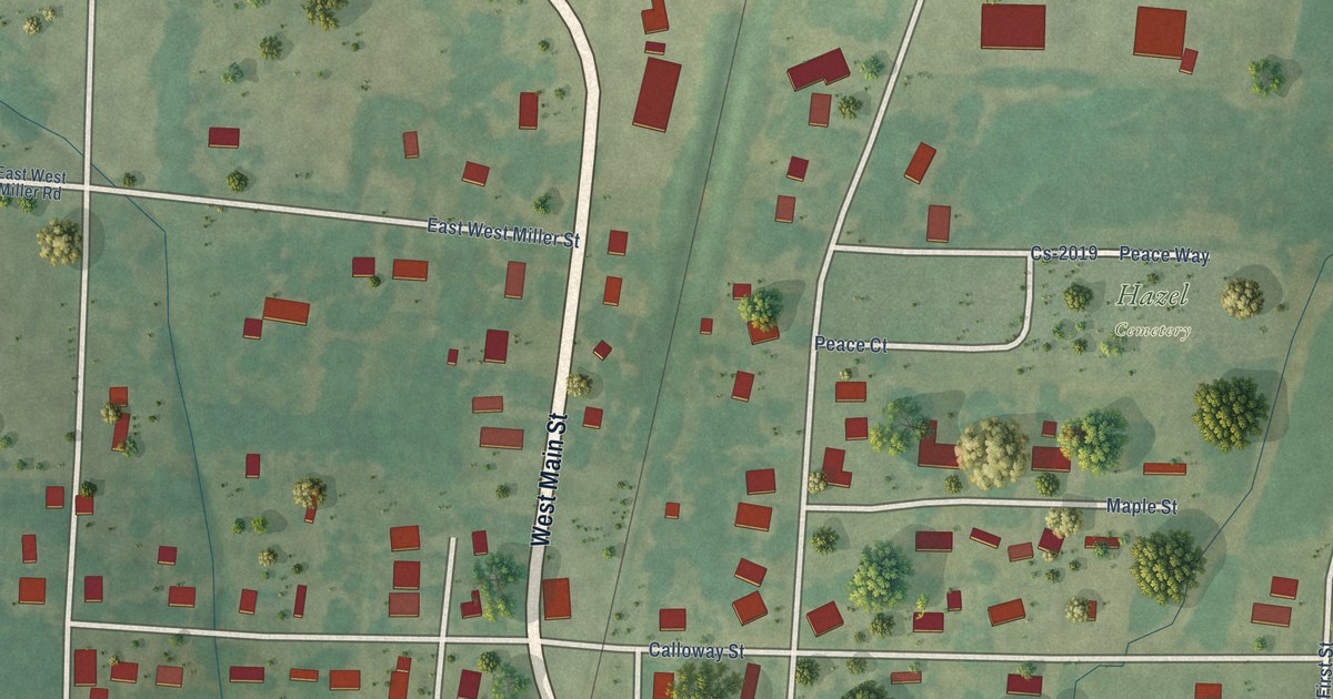
A detailed map of Hazel, Kentucky, showing every building in its true location, the roads by name, and shaded topographical relief.
Read More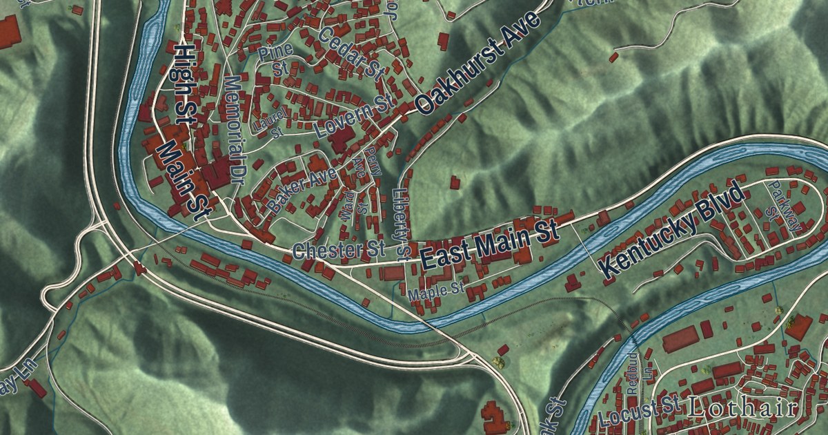
A detailed map of Hazard, Kentucky, showing every building in its true location, the roads by name, and shaded topographical relief.
Read More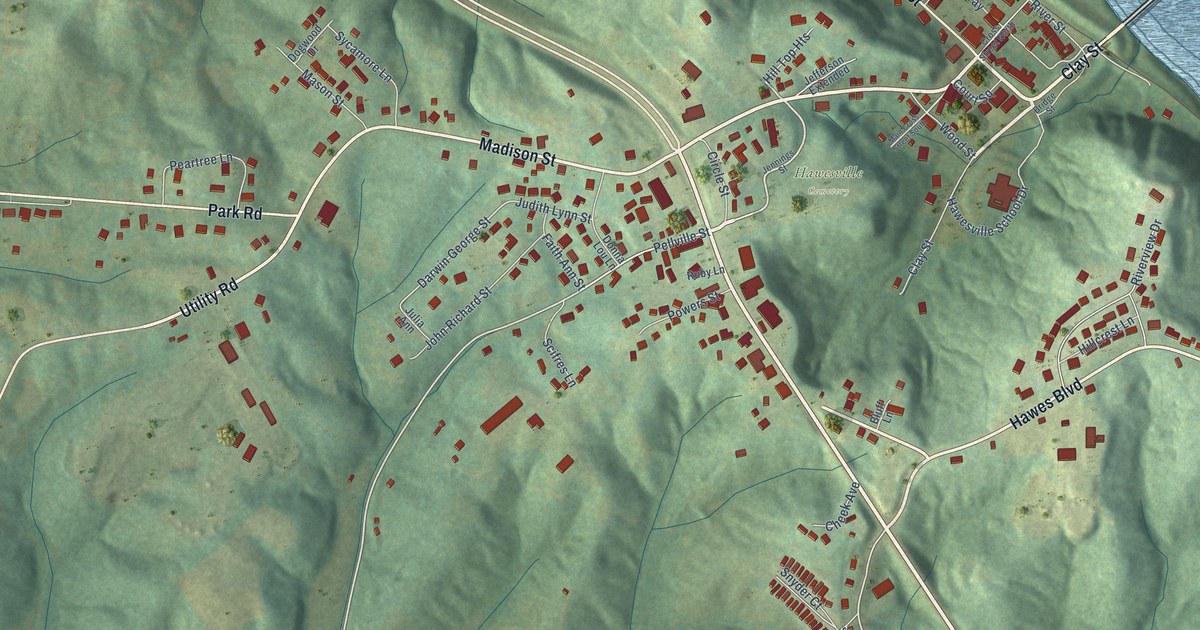
A detailed map of Hawesville, Kentucky, showing every building in its true location, the roads by name, and shaded topographical relief.
Read More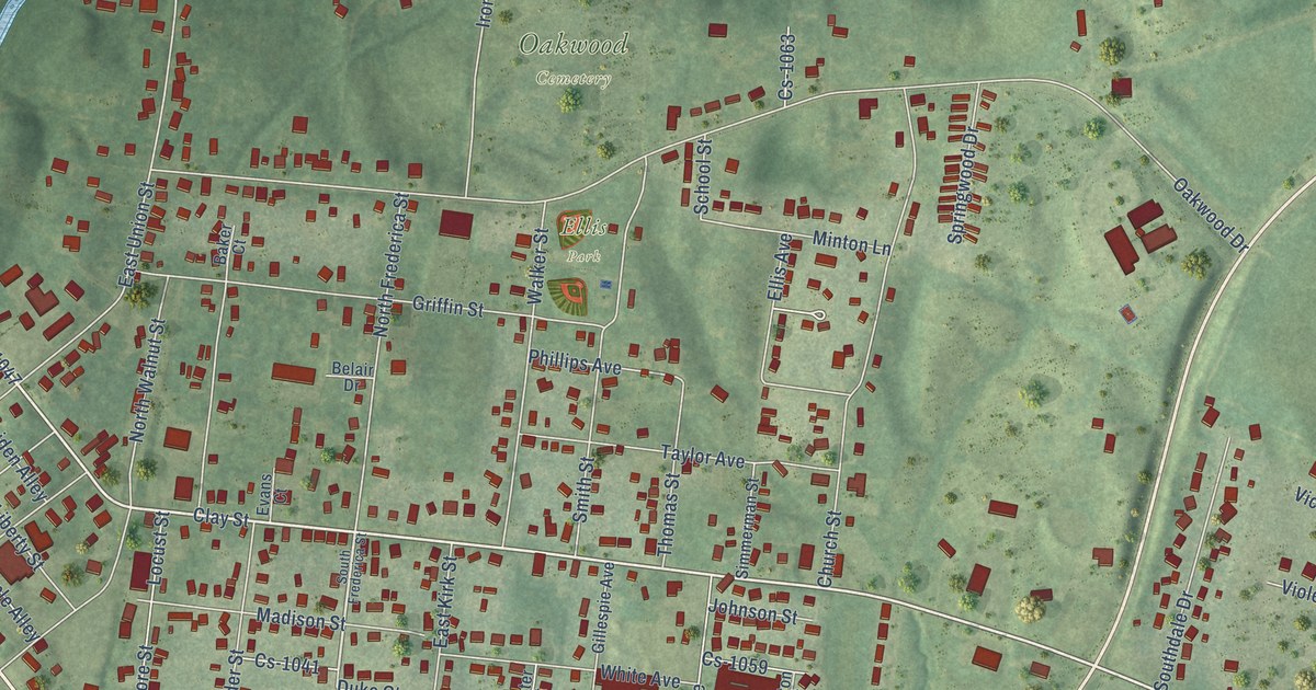
A detailed map of Hartford, Kentucky, showing every building in its true location, the roads by name, and shaded topographical relief.
Read More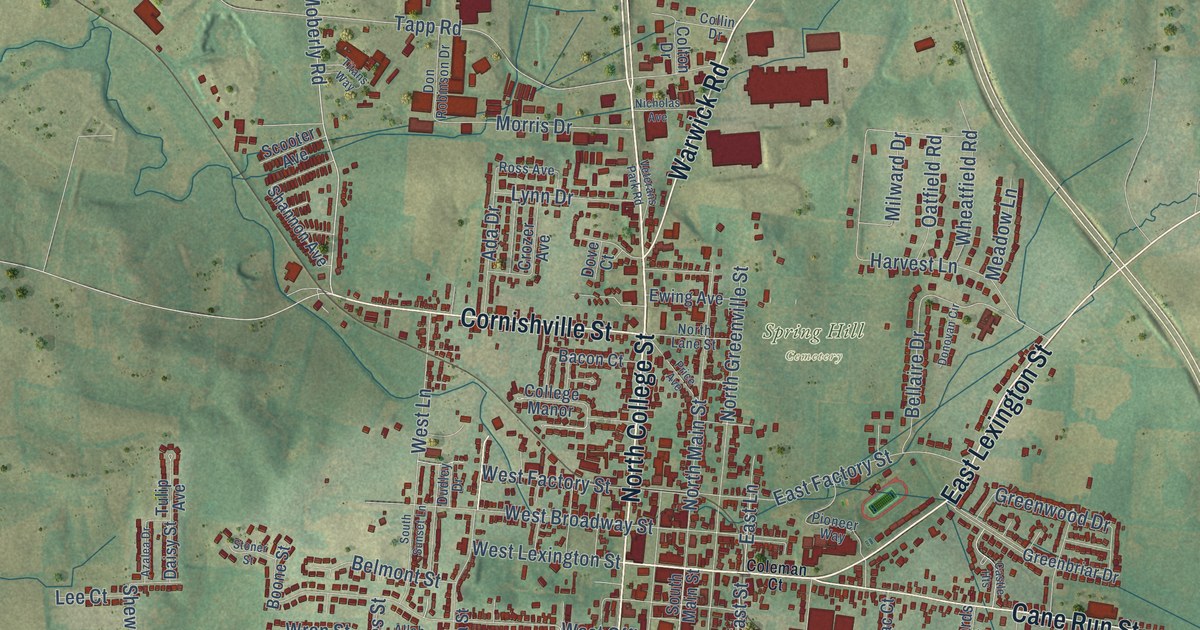
A detailed map of Harrodsburg, Kentucky, showing every building in its true location, the roads by name, and shaded topographical relief.
Read More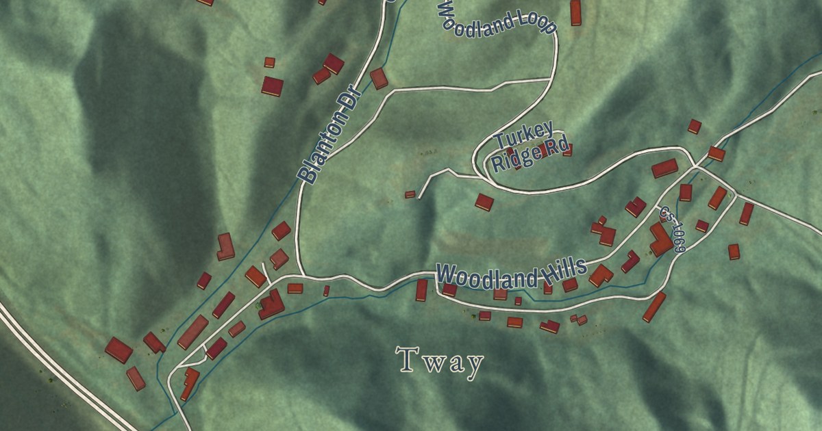
A detailed map of Harlan, Kentucky, showing every building in its true location, the roads by name, and shaded topographical relief.
Read More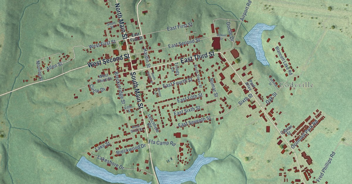
A detailed map of Hardinsburg, Kentucky, showing every building in its true location, the roads by name, and shaded topographical relief.
Read More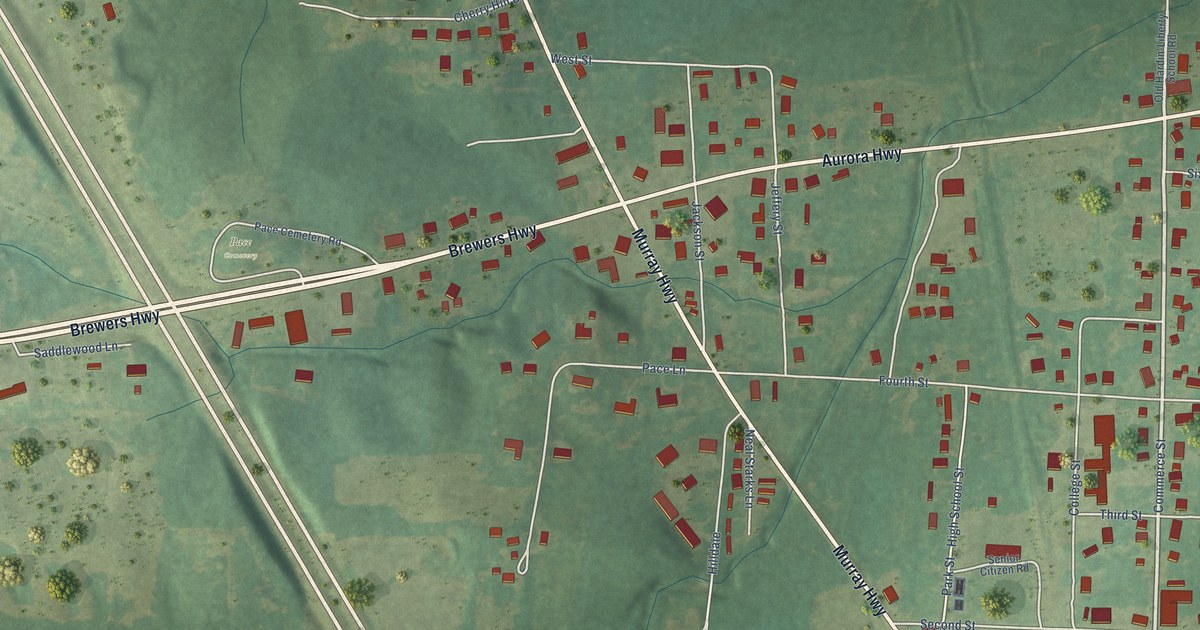
A detailed map of Hardin, Kentucky, showing every building in its true location, the roads by name, and shaded topographical relief.
Read More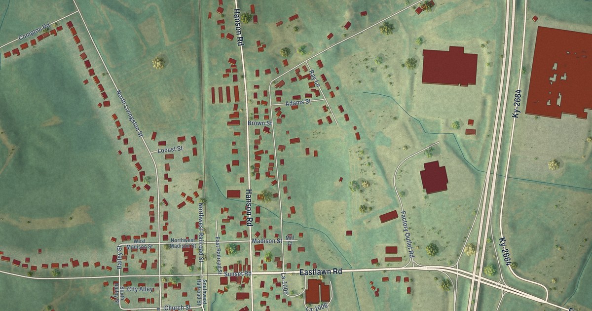
A detailed map of Hanson, Kentucky, showing every building in its true location, the roads by name, and shaded topographical relief.
Read More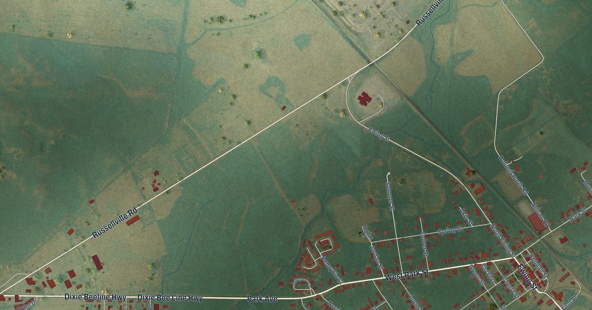
A detailed map of Guthrie, Kentucky, showing every building in its true location, the roads by name, and shaded topographical relief.
Read More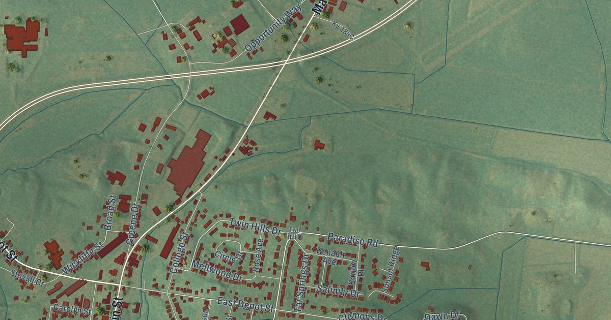
A detailed map of Greenville, Kentucky, showing every building in its true location, the roads by name, and shaded topographical relief.
Read More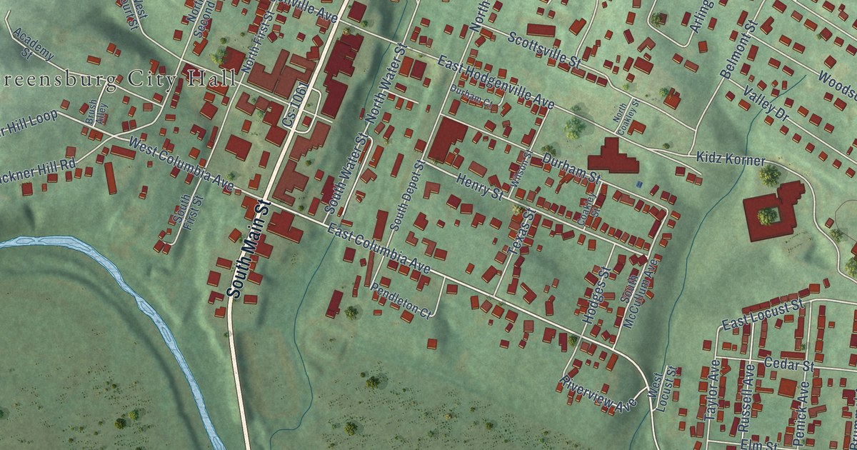
A detailed map of Greensburg, Kentucky, showing every building in its true location, the roads by name, and shaded topographical relief.
Read More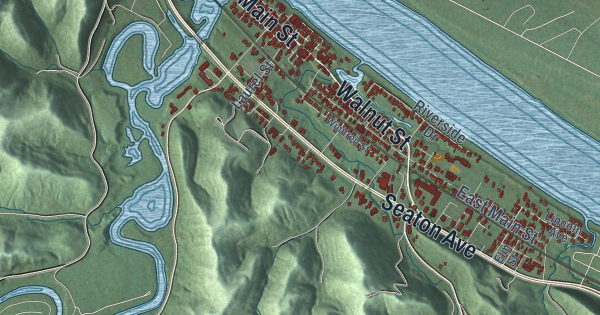
A detailed map of Greenup, Kentucky, showing every building in its true location, the roads by name, and shaded topographical relief.
Read More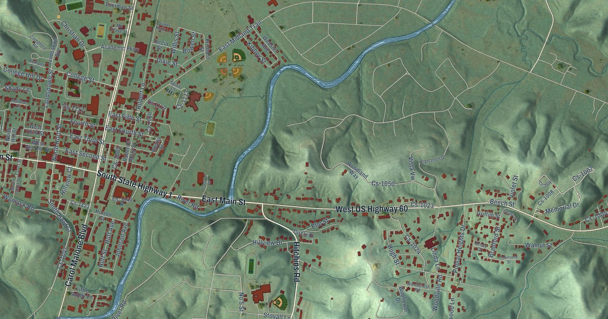
A detailed map of Grayson, Kentucky, showing every building in its true location, the roads by name, and shaded topographical relief.
Read More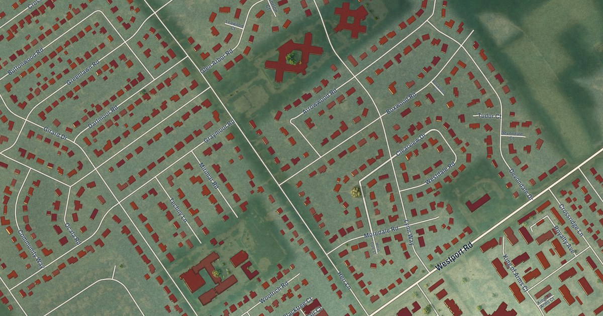
A detailed map of Graymoor-Devondale, Kentucky, showing every building in its true location, the roads by name, and shaded topographical relief.
Read More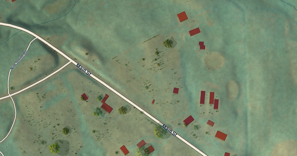
A detailed map of Gratz, Kentucky, showing every building in its true location, the roads by name, and shaded topographical relief.
Read More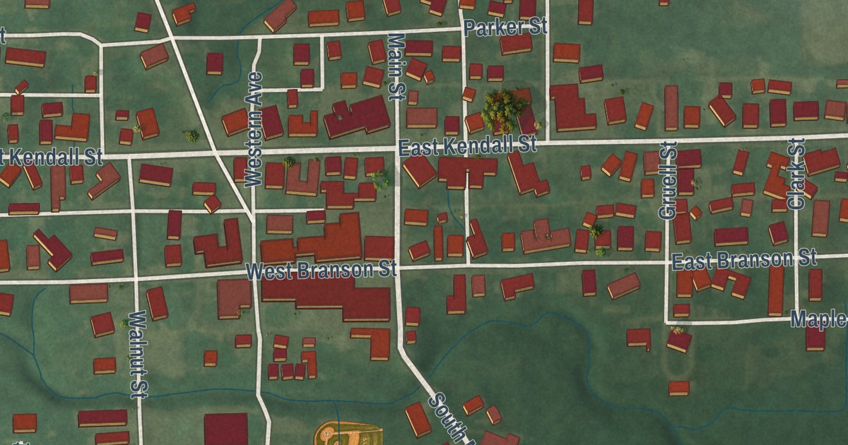
A detailed map of La Fontaine, Indiana, showing every building in its true location, the roads by name, and shaded topographical relief.
Read More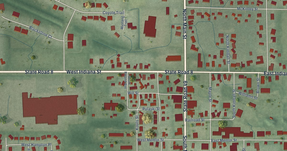
A detailed map of Kouts, Indiana, showing every building in its true location, the roads by name, and shaded topographical relief.
Read More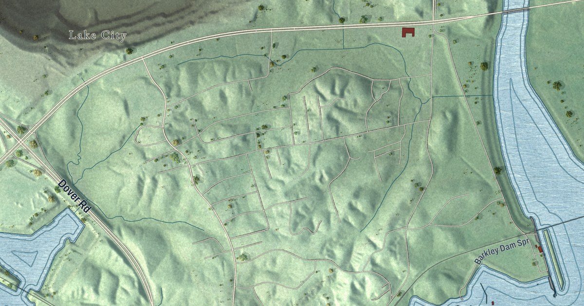
A detailed map of Grand Rivers, Kentucky, showing every building in its true location, the roads by name, and shaded topographical relief.
Read More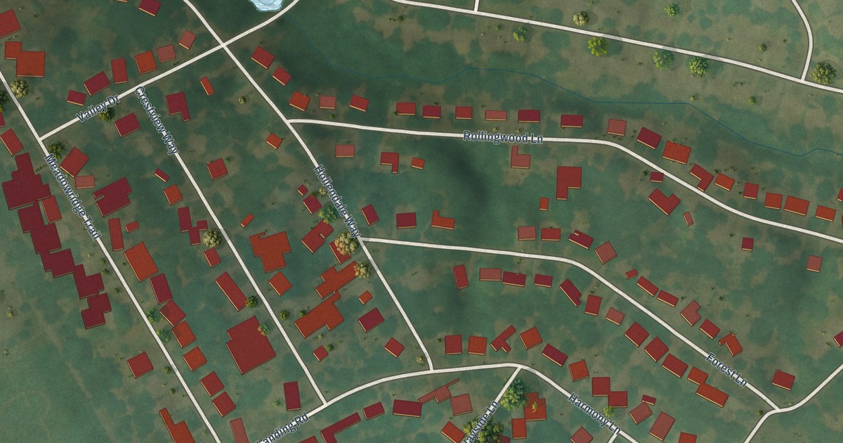
A detailed map of Goshen, Kentucky, showing every building in its true location, the roads by name, and shaded topographical relief.
Read More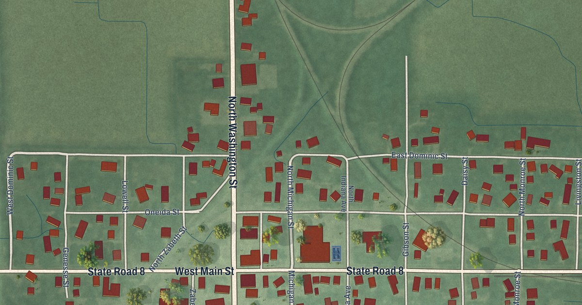
A detailed map of La Crosse, Indiana, showing every building in its true location, the roads by name, and shaded topographical relief.
Read More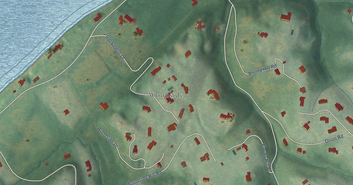
A detailed map of Glenview, Kentucky, showing every building in its true location, the roads by name, and shaded topographical relief.
Read More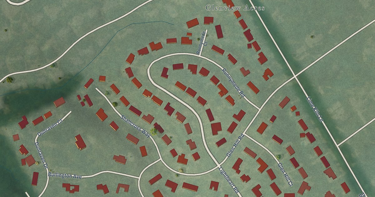
A detailed map of Glenview Hills, Kentucky, showing every building in its true location, the roads by name, and shaded topographical relief.
Read More















