Detailed Map of Hubbards, Nova Scotia
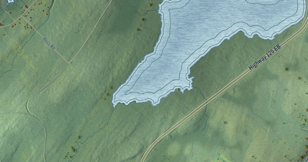
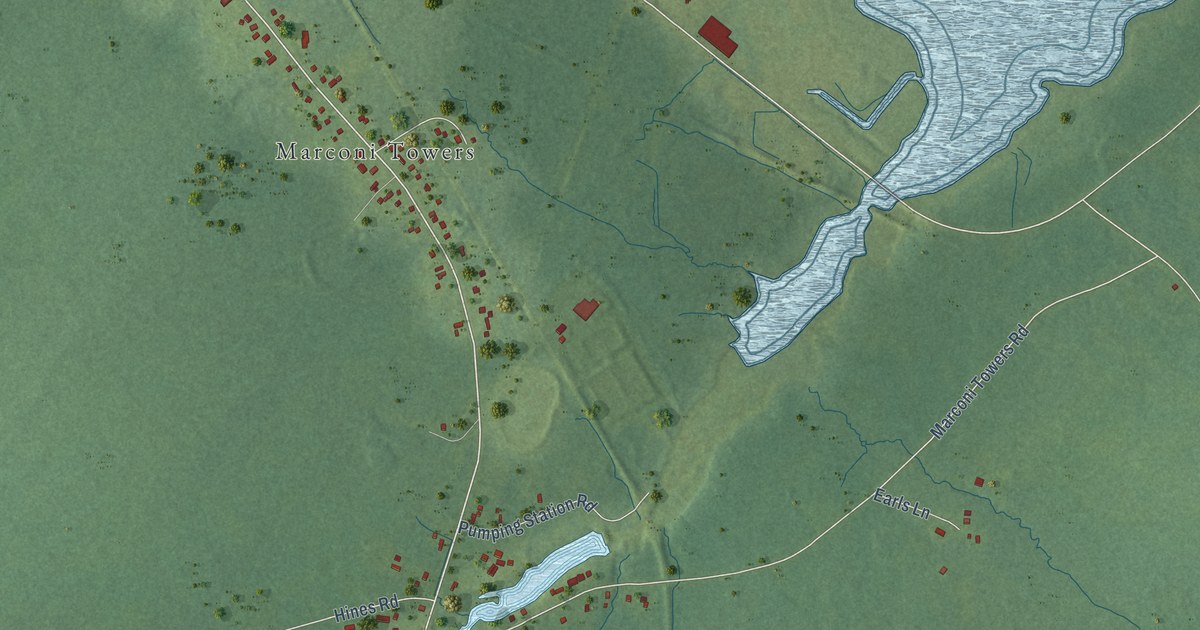
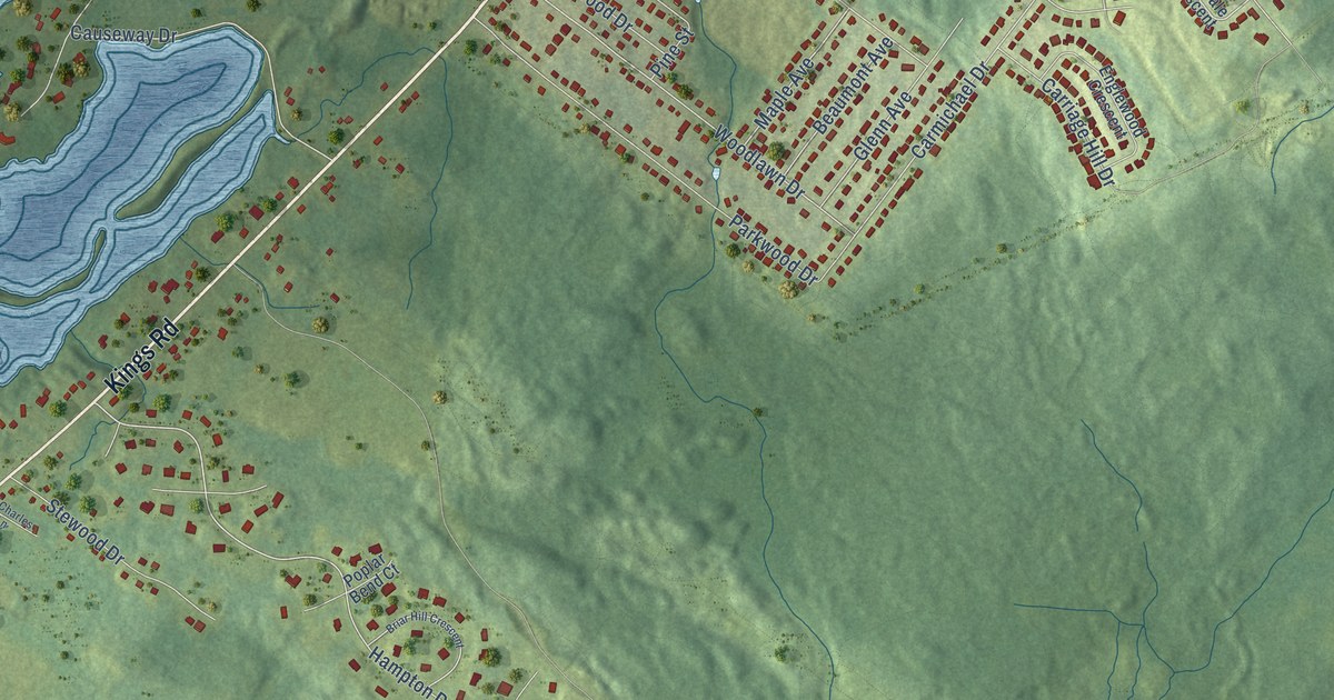
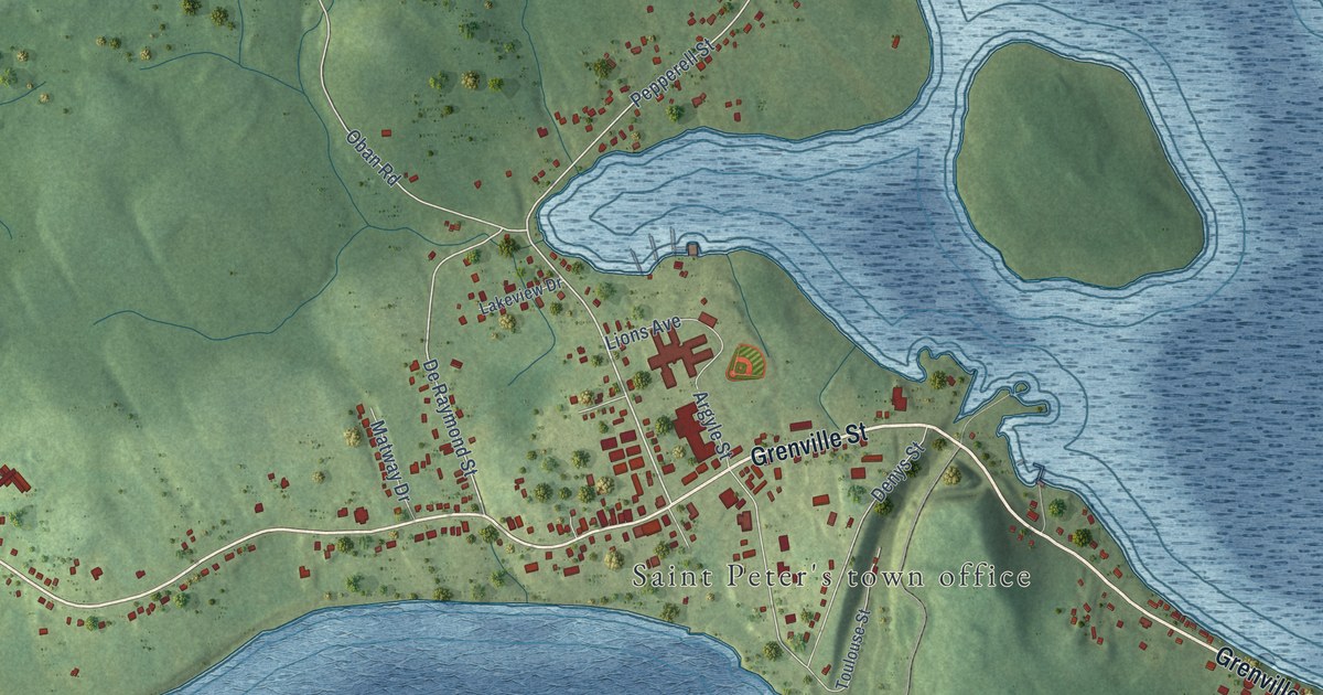
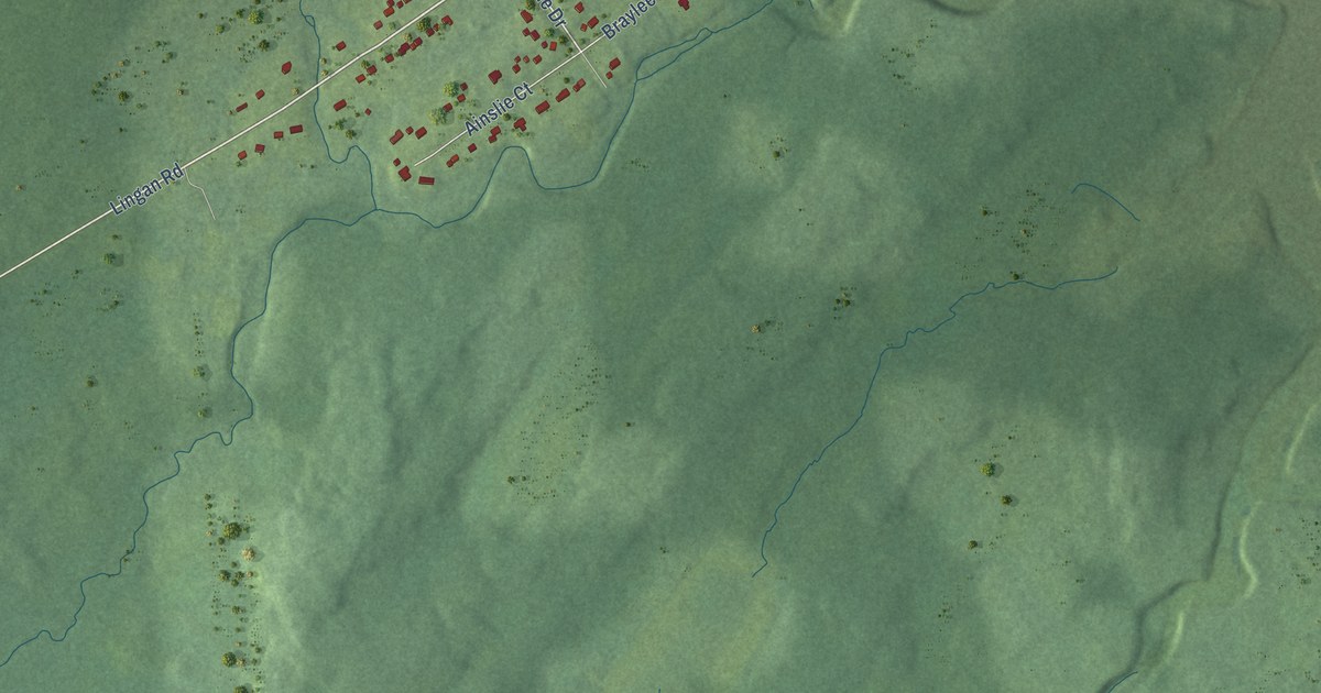
A detailed map of Hubbards, Nova Scotia, showing every building in its true location, the roads by name, and shaded topographical relief.
Read More
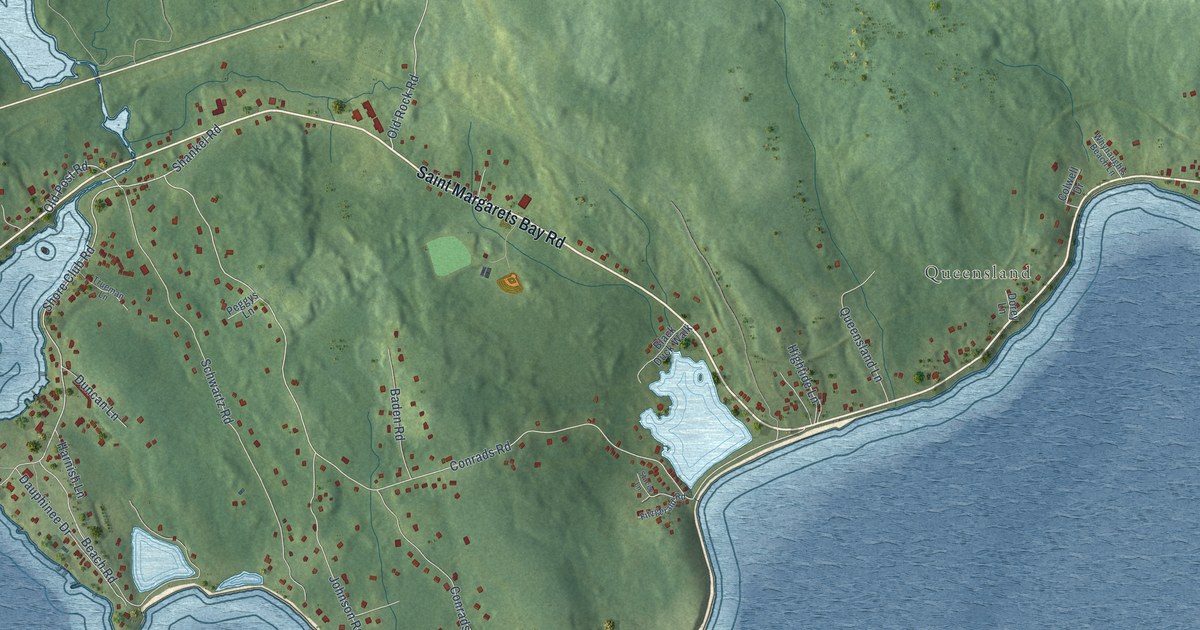
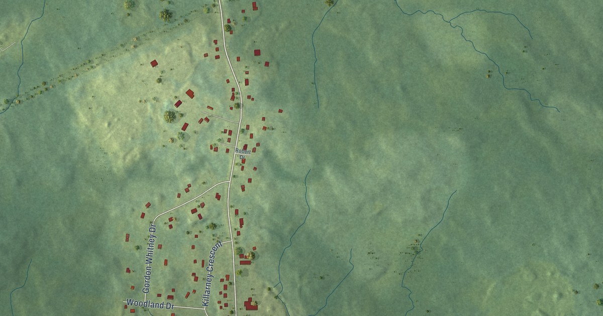
A detailed map of Hubbards, Nova Scotia, showing every building in its true location, the roads by name, and shaded topographical relief.
Read More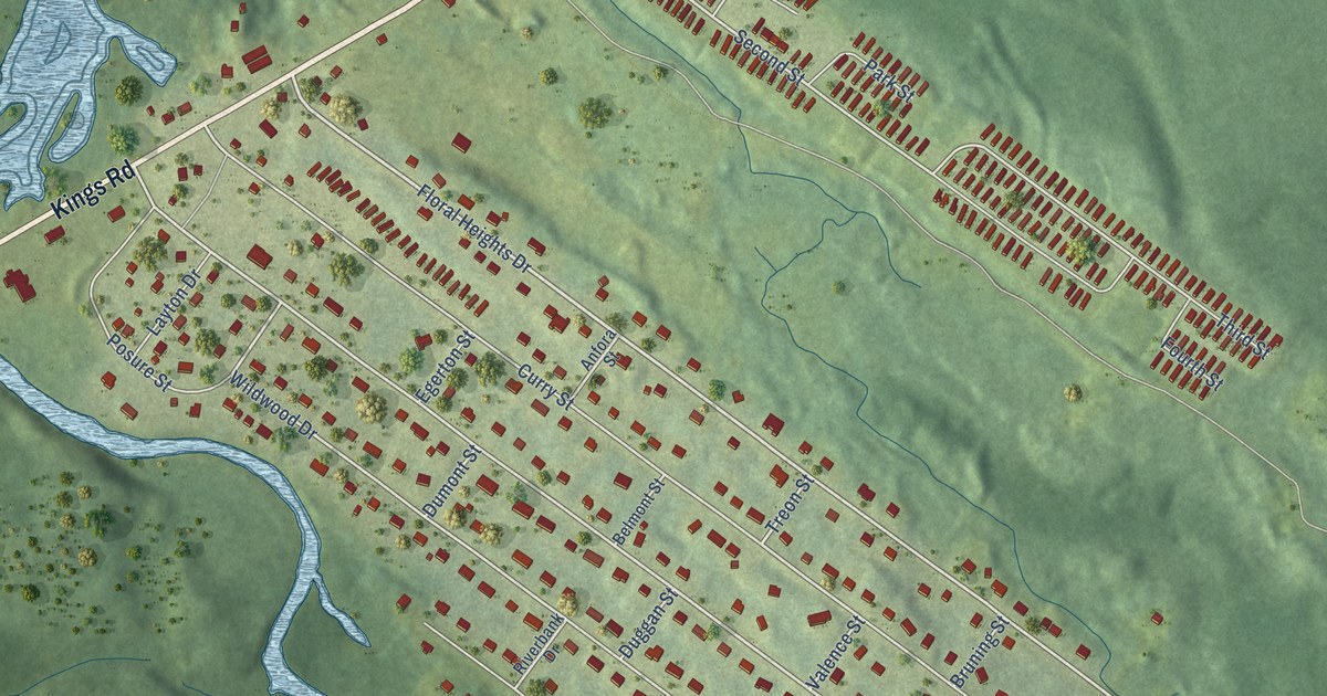
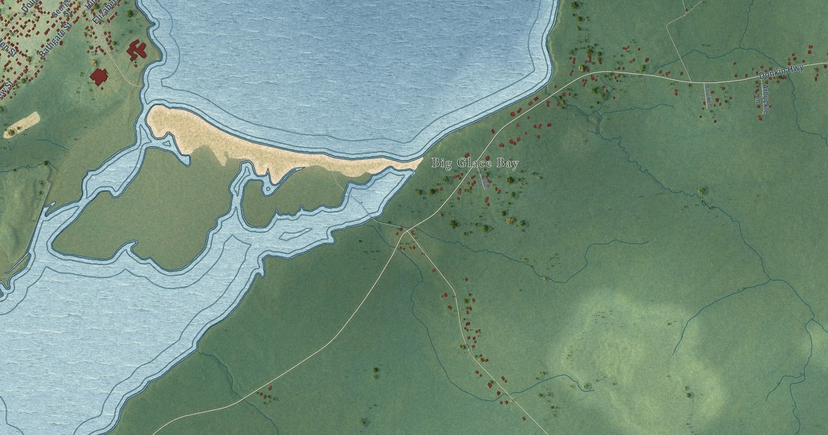
A detailed map of Howie Centre, Nova Scotia, showing every building in its true location, the roads by name, and shaded topographical relief.
Read More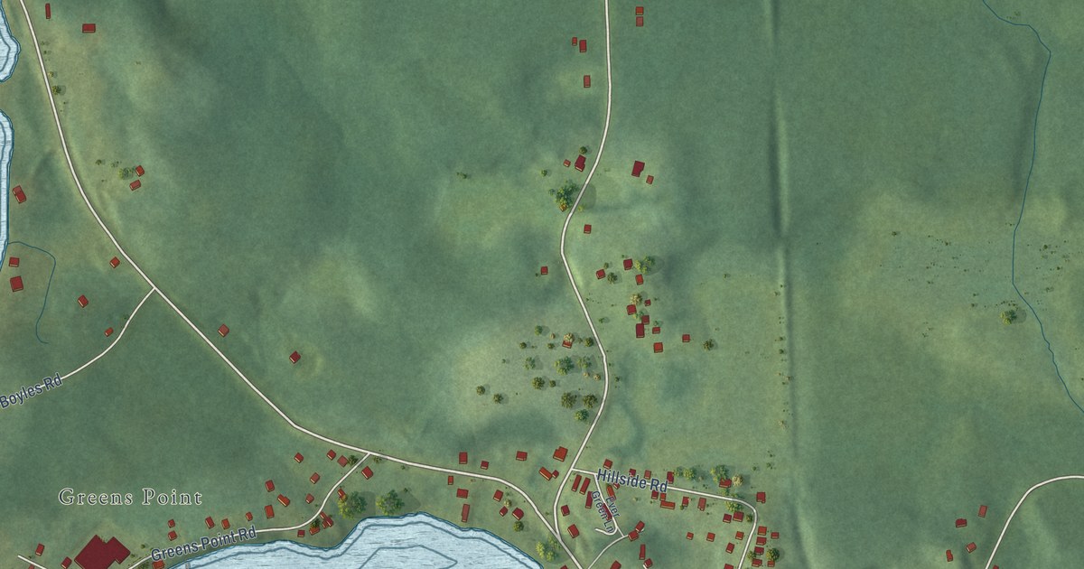
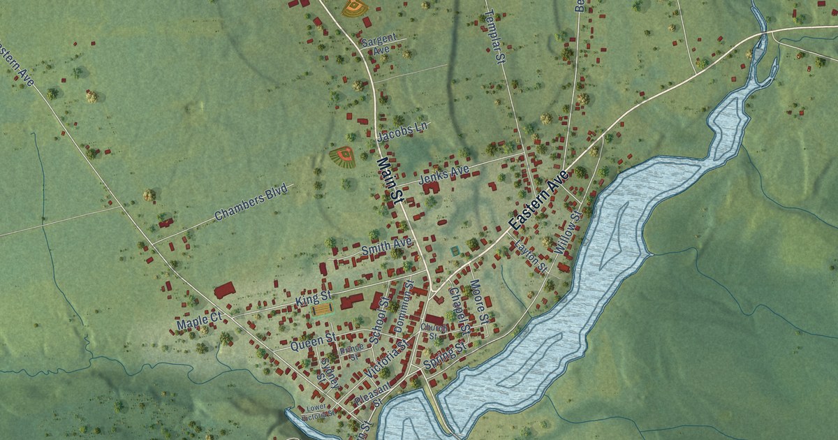
A detailed map of Hillside, Nova Scotia, showing every building in its true location, the roads by name, and shaded topographical relief.
Read More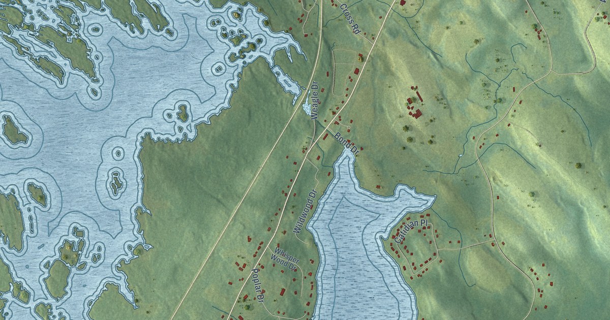
A detailed map of Hebbville, Nova Scotia, showing every building in its true location, the roads by name, and shaded topographical relief.
Read More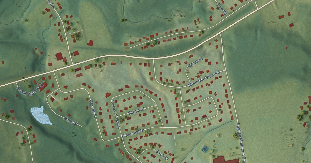
A detailed map of Hayes Subdivision, Nova Scotia, showing every building in its true location, the roads by name, and shaded topographical relief.
Read More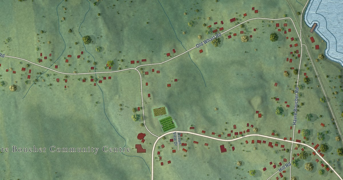
A detailed map of Havre Boucher, Nova Scotia, showing every building in its true location, the roads by name, and shaded topographical relief.
Read More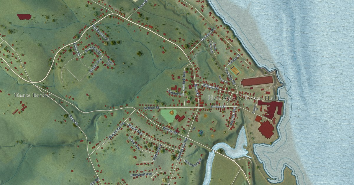
A detailed map of Hantsport, Nova Scotia, showing every building in its true location, the roads by name, and shaded topographical relief.
Read More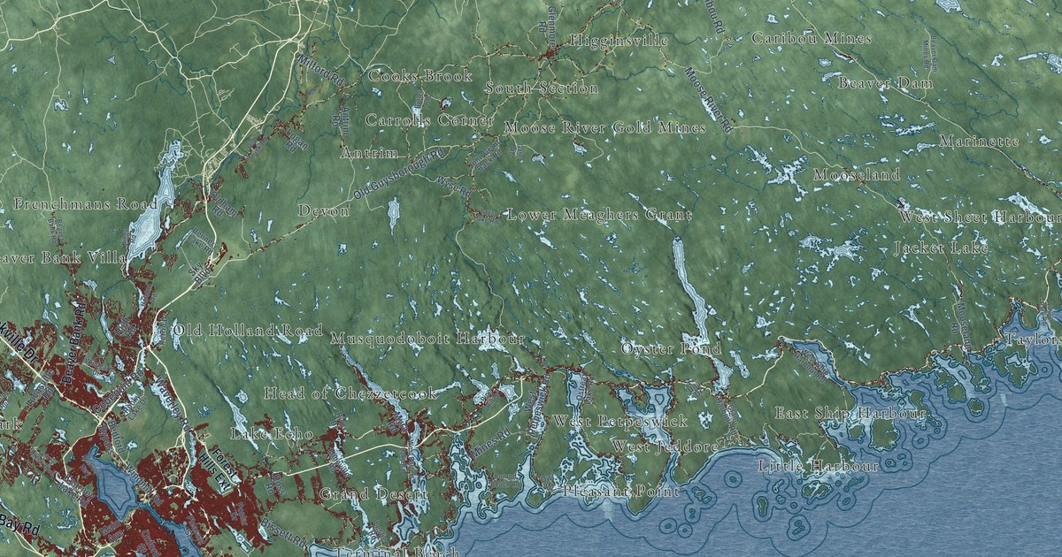
A detailed map of Halifax, Nova Scotia, showing every building in its true location, the roads by name, and shaded topographical relief.
Read More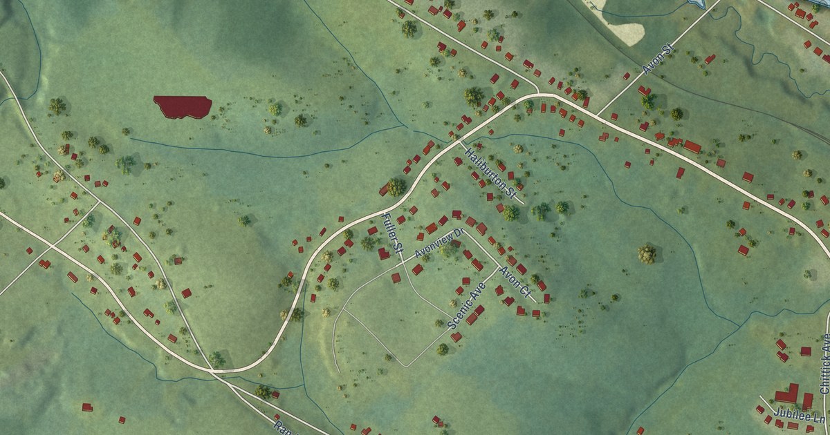
A detailed map of Hants Border, Nova Scotia, showing every building in its true location, the roads by name, and shaded topographical relief.
Read More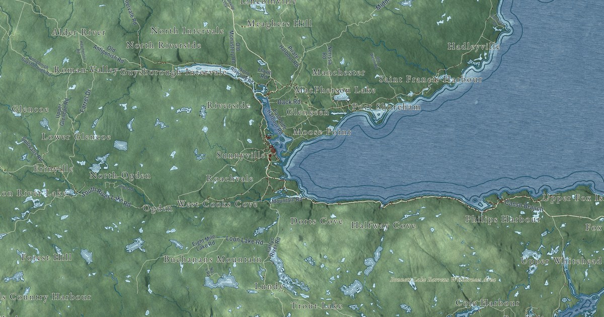
A detailed map of District of Guysborough, Nova Scotia, showing every building in its true location, the roads by name, and shaded topographical relief.
Read More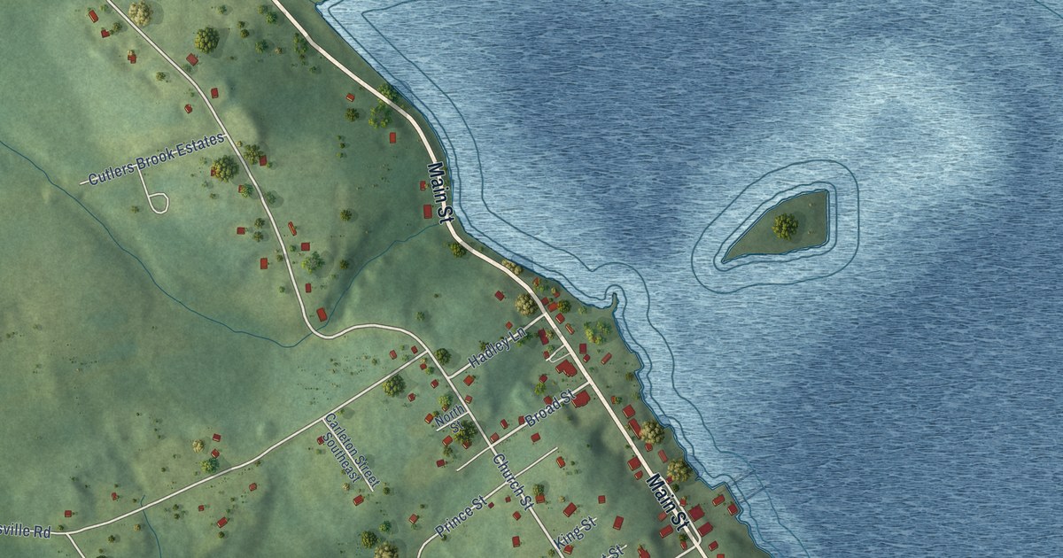
A detailed map of Guysborough, Nova Scotia, showing every building in its true location, the roads by name, and shaded topographical relief.
Read More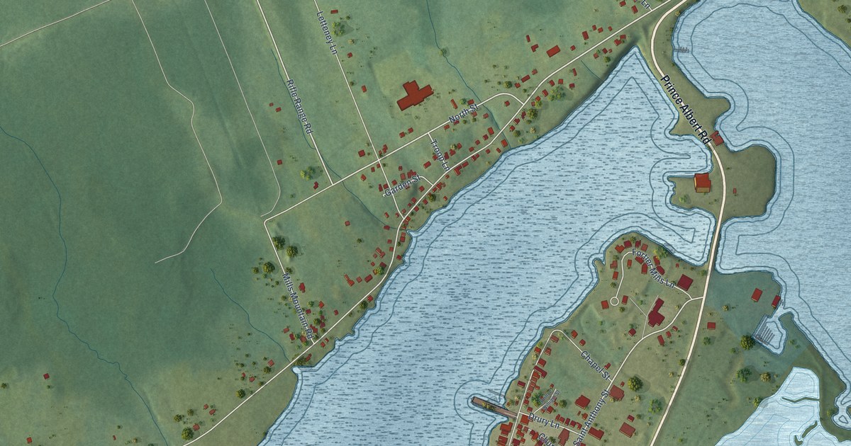
A detailed map of Granville Ferry, Nova Scotia, showing every building in its true location, the roads by name, and shaded topographical relief.
Read More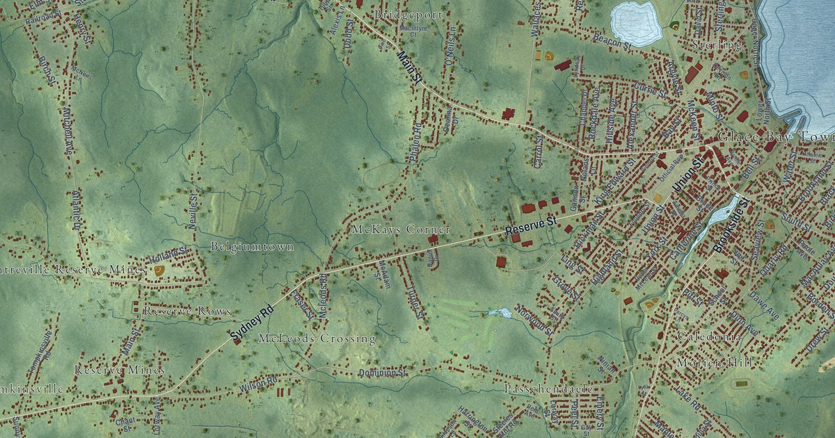
A detailed map of Glace Bay, Nova Scotia, showing every building in its true location, the roads by name, and shaded topographical relief.
Read More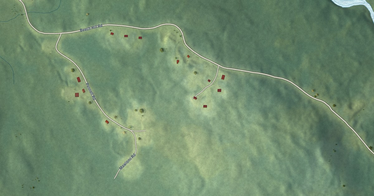
A detailed map of Gold River (Wasoqopa’q First Nation), Nova Scotia, showing every building in its true location, the roads by name, and shaded topographical relief.
Read More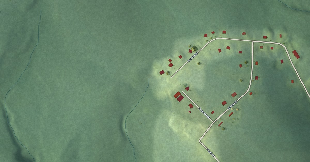
A detailed map of Glooscap First Nation, Nova Scotia, showing every building in its true location, the roads by name, and shaded topographical relief.
Read More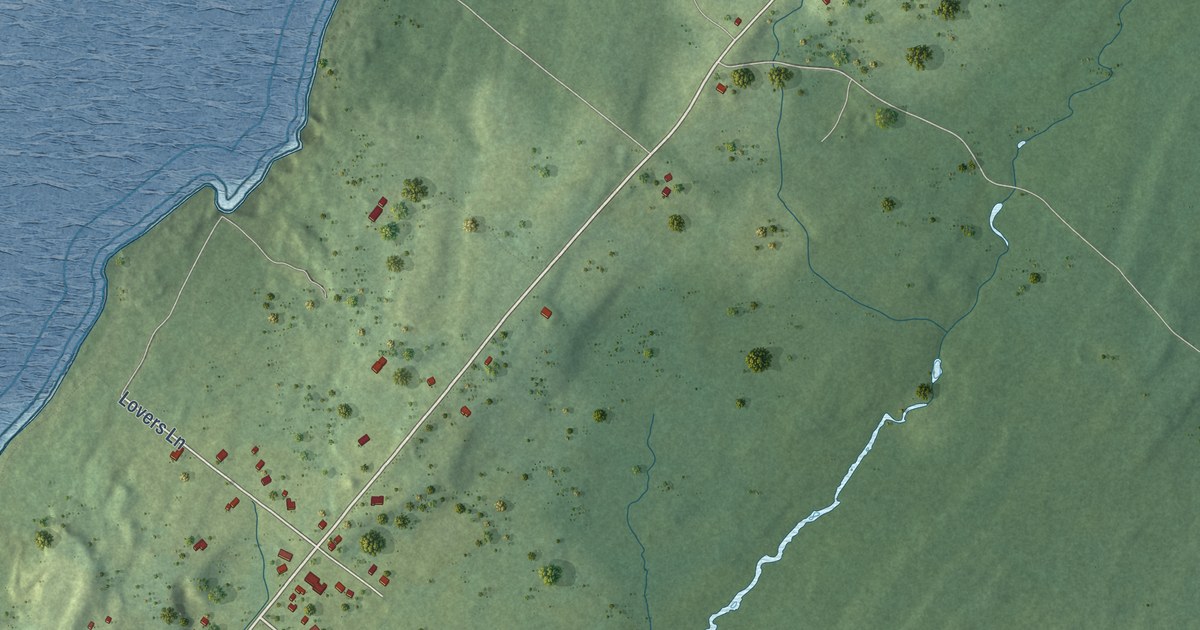
A detailed map of Freeport, Nova Scotia, showing every building in its true location, the roads by name, and shaded topographical relief.
Read More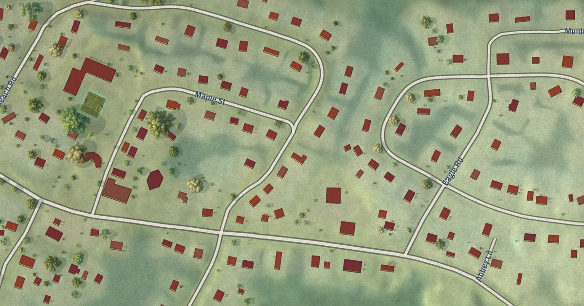
A detailed map of Pictou Landing First Nation, Nova Scotia, showing every building in its true location, the roads by name, and shaded topographical relief.
Read More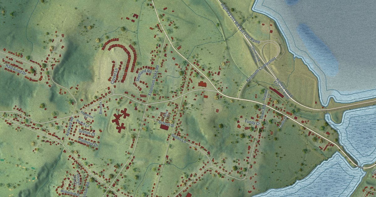
A detailed map of Falmouth, Nova Scotia, showing every building in its true location, the roads by name, and shaded topographical relief.
Read More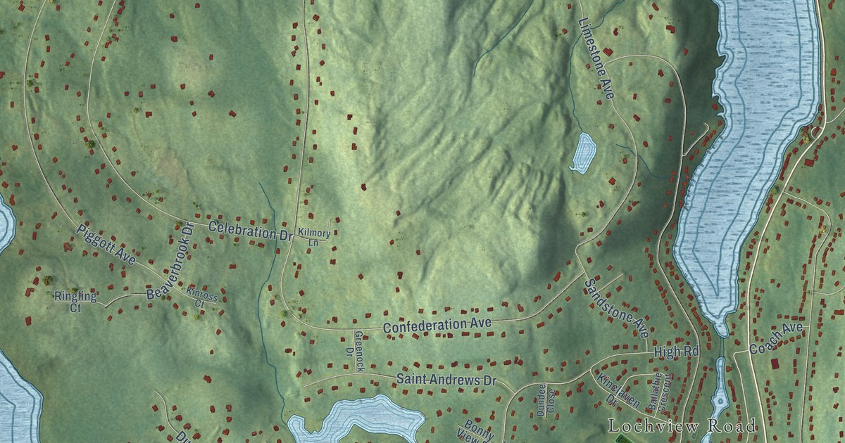
A detailed map of Fall River, Nova Scotia, showing every building in its true location, the roads by name, and shaded topographical relief.
Read More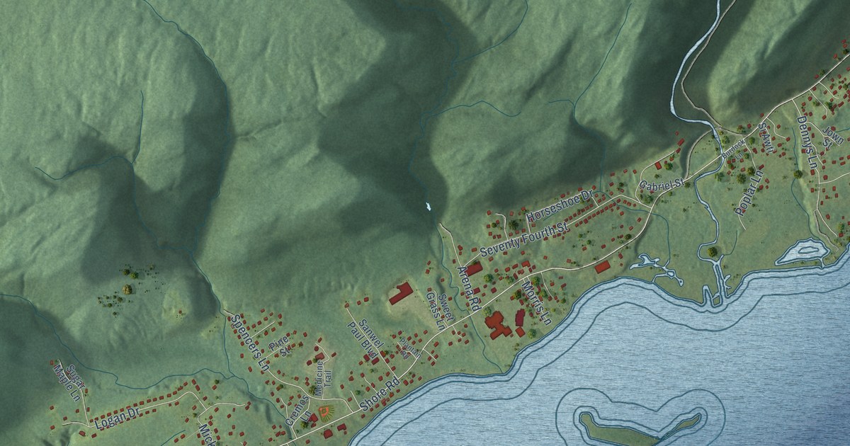
A detailed map of Eskasoni, Nova Scotia, showing every building in its true location, the roads by name, and shaded topographical relief.
Read More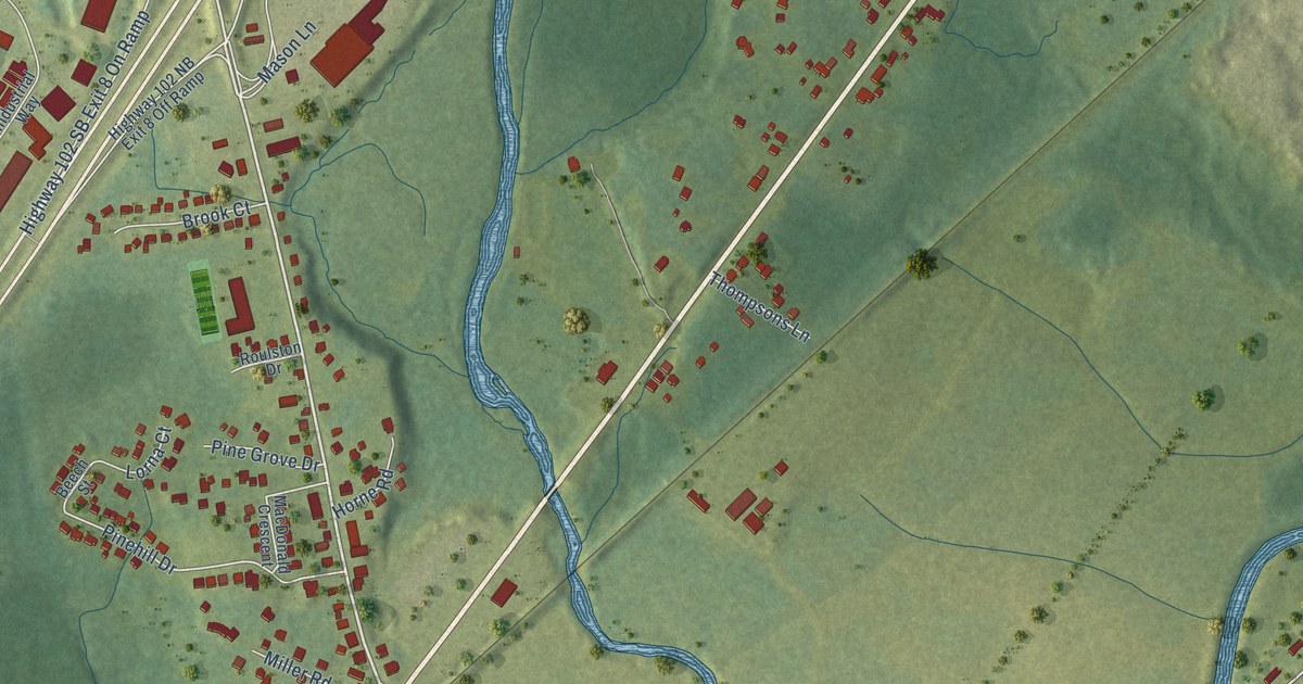
A detailed map of Elmsdale, Nova Scotia, showing every building in its true location, the roads by name, and shaded topographical relief.
Read More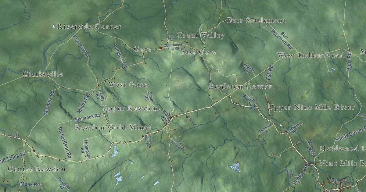
A detailed map of East Hants, Nova Scotia, showing every building in its true location, the roads by name, and shaded topographical relief.
Read More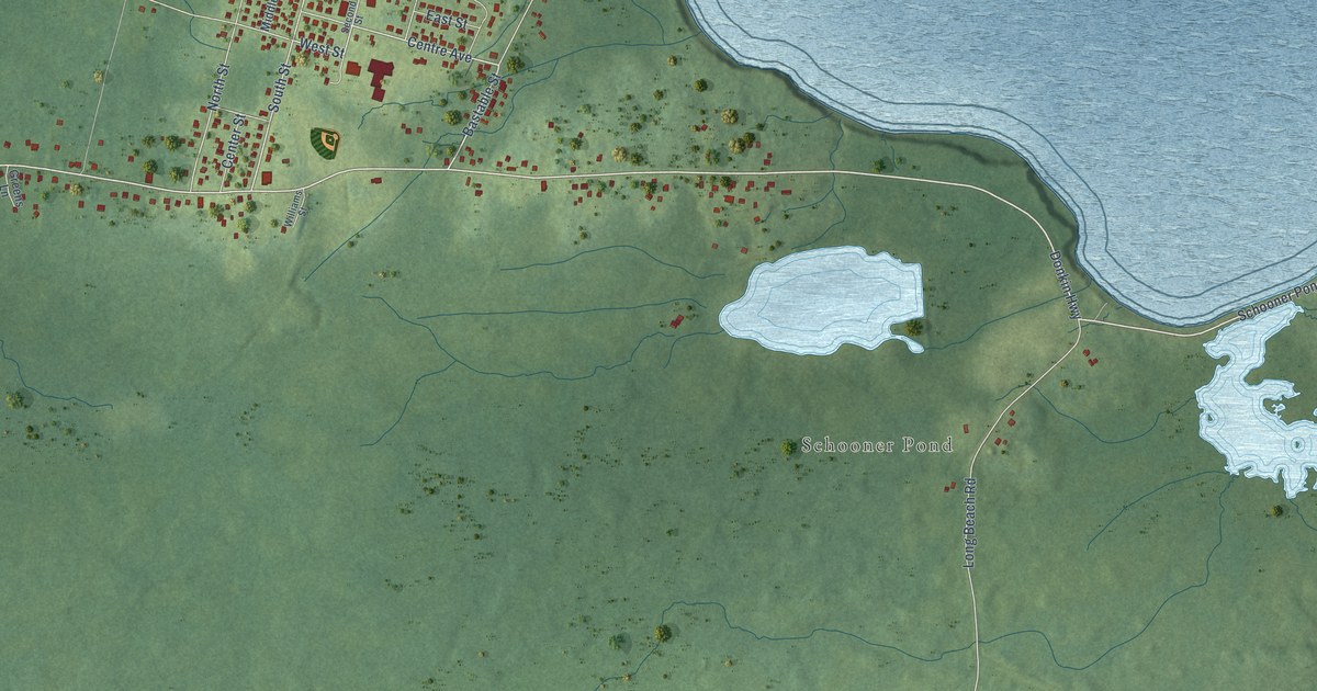
A detailed map of Donkin, Nova Scotia, showing every building in its true location, the roads by name, and shaded topographical relief.
Read More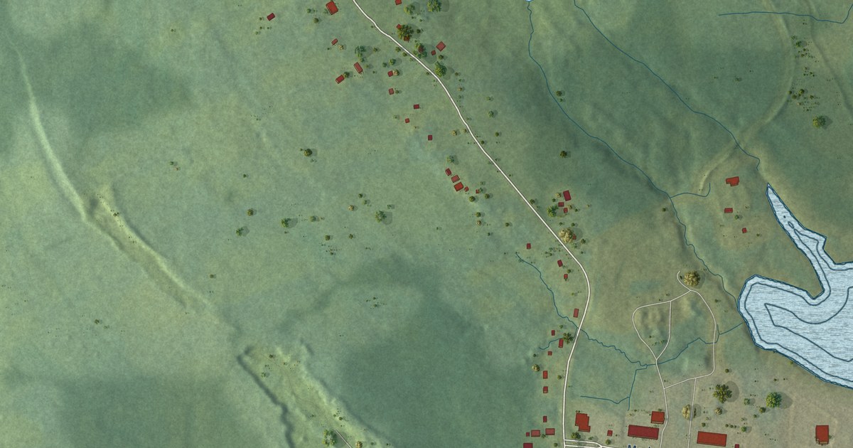
A detailed map of Edwardsville, Nova Scotia, showing every building in its true location, the roads by name, and shaded topographical relief.
Read More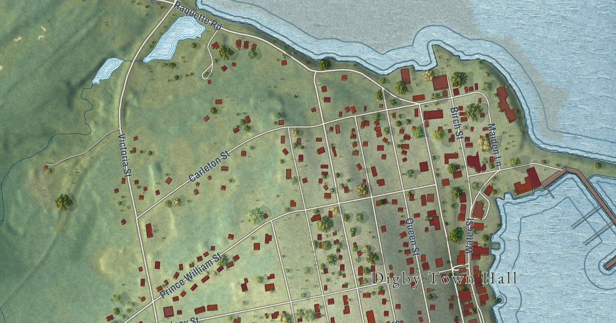
A detailed map of Digby, Nova Scotia, showing every building in its true location, the roads by name, and shaded topographical relief.
Read More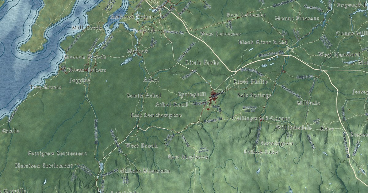
A detailed map of Cumberland County, Nova Scotia, showing every building in its true location, the roads by name, and shaded topographical relief.
Read More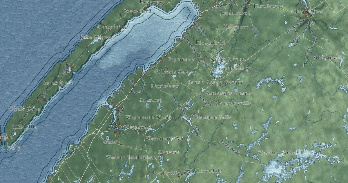
A detailed map of District of Digby, Nova Scotia, showing every building in its true location, the roads by name, and shaded topographical relief.
Read More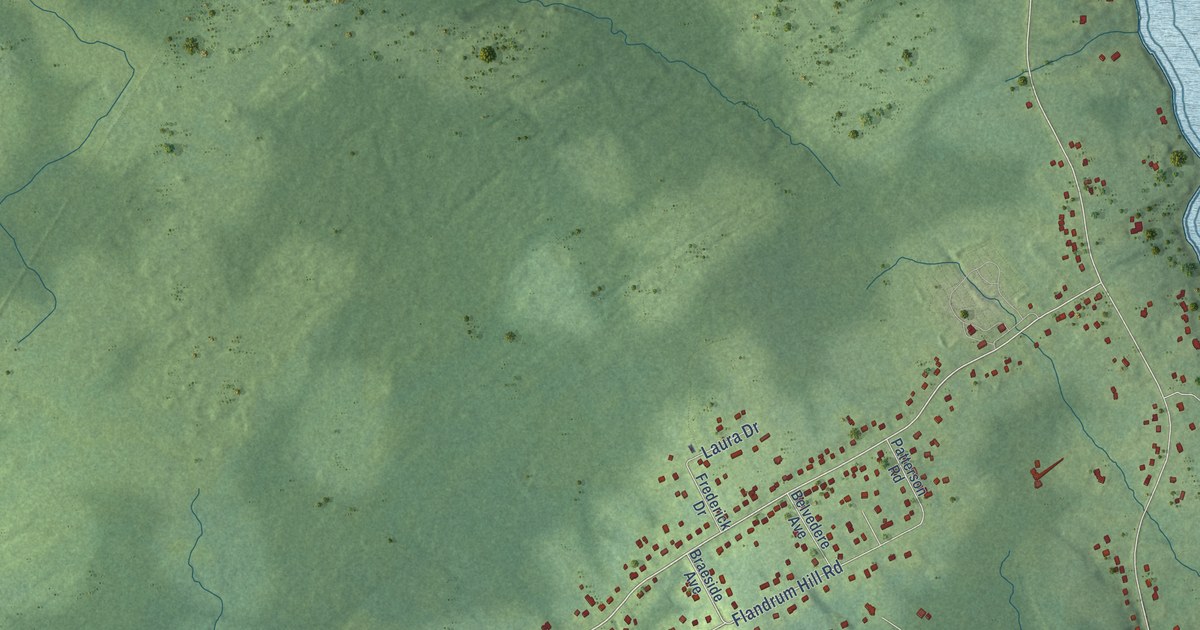
A detailed map of Cow Bay, Nova Scotia, showing every building in its true location, the roads by name, and shaded topographical relief.
Read More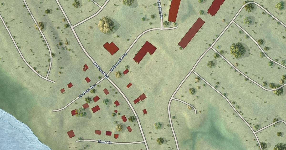
A detailed map of Cole Harbour (Millbrook First Nation), Nova Scotia, showing every building in its true location, the roads by name, and shaded topographical relief.
Read More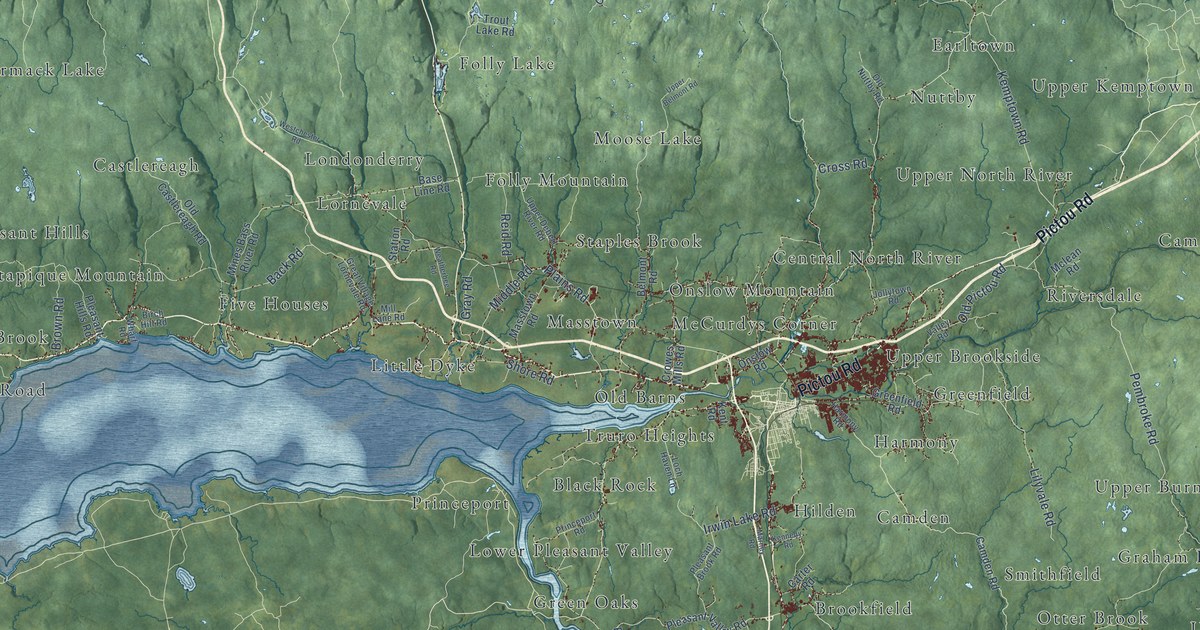
A detailed map of Colchester County, Nova Scotia, showing every building in its true location, the roads by name, and shaded topographical relief.
Read More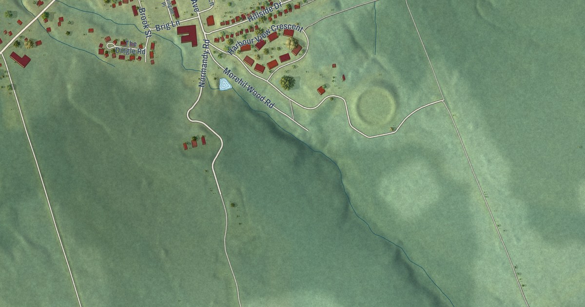
A detailed map of Cornwallis Park, Nova Scotia, showing every building in its true location, the roads by name, and shaded topographical relief.
Read More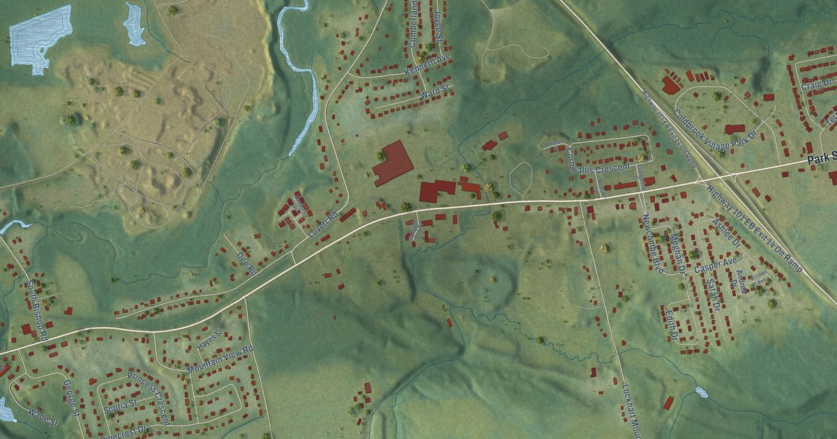
A detailed map of Coldbrook, Nova Scotia, showing every building in its true location, the roads by name, and shaded topographical relief.
Read More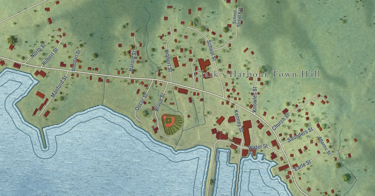
A detailed map of Clark’s Harbour, Nova Scotia, showing every building in its true location, the roads by name, and shaded topographical relief.
Read More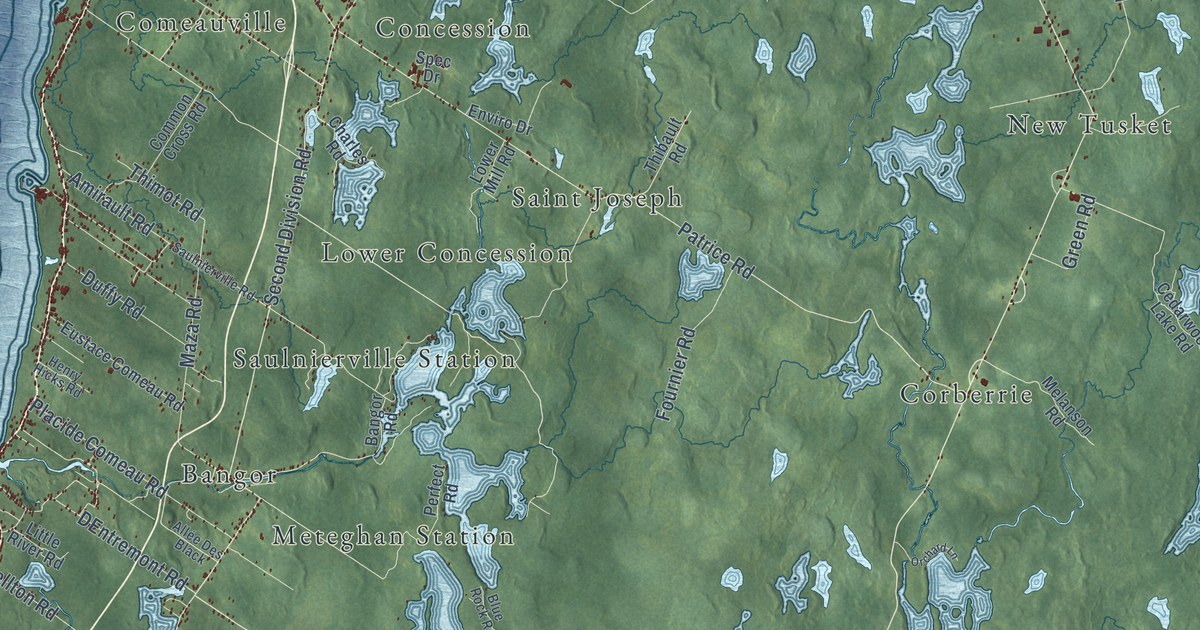
A detailed map of Clare, Nova Scotia, showing every building in its true location, the roads by name, and shaded topographical relief.
Read More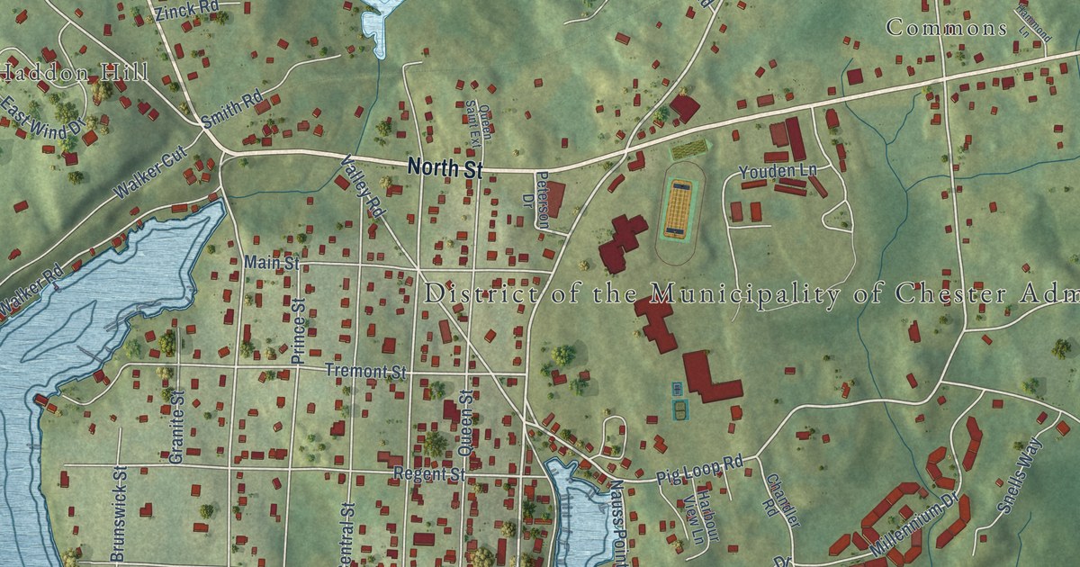
A detailed map of Chester, Nova Scotia, showing every building in its true location, the roads by name, and shaded topographical relief.
Read More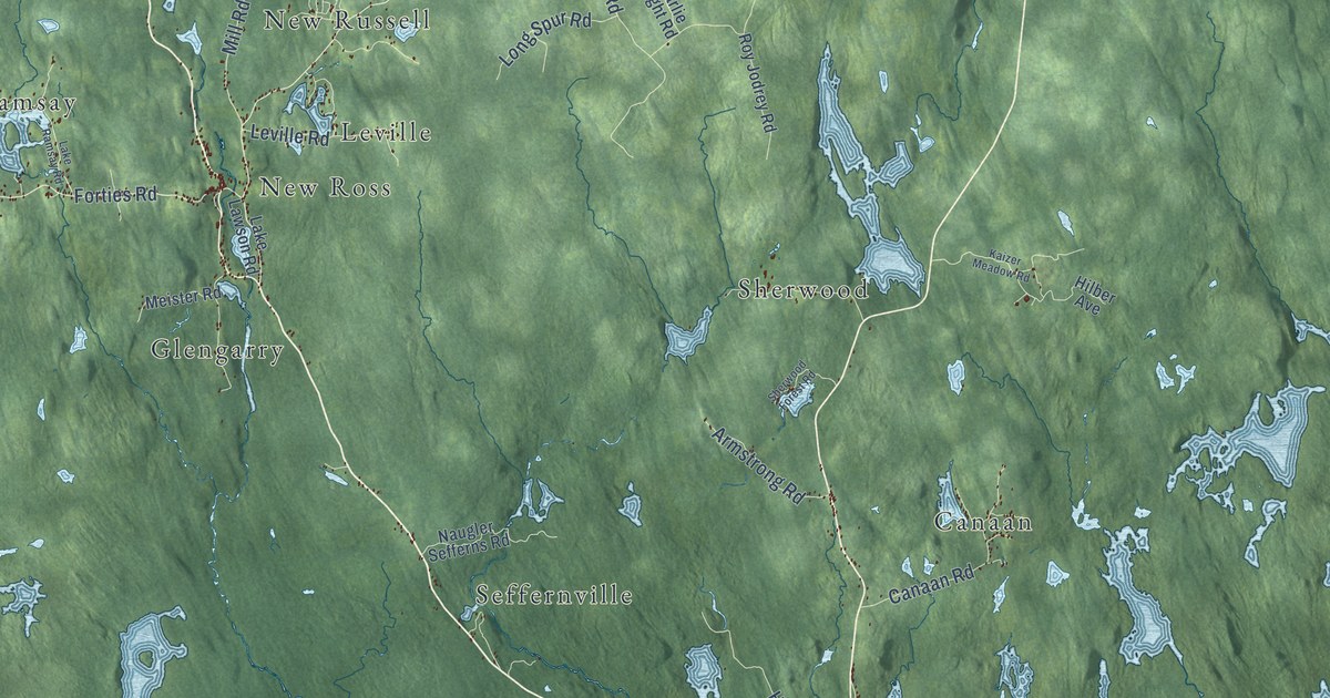
A detailed map of District of Chester, Nova Scotia, showing every building in its true location, the roads by name, and shaded topographical relief.
Read More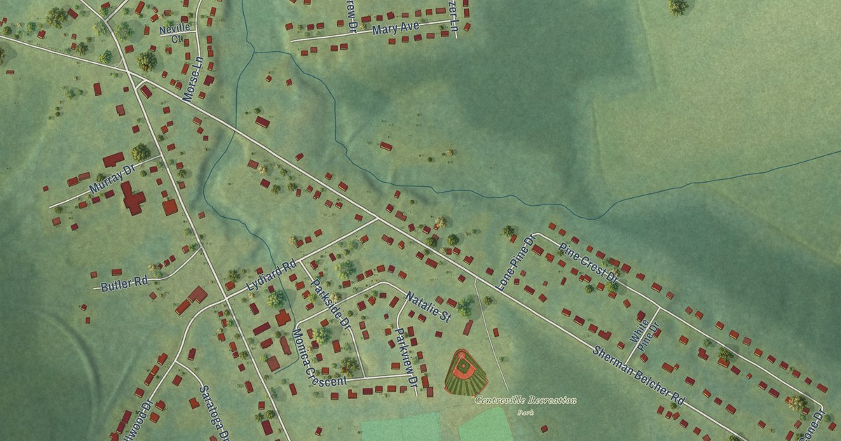
A detailed map of Centreville, Nova Scotia, showing every building in its true location, the roads by name, and shaded topographical relief.
Read More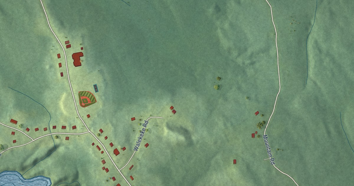
A detailed map of Potlotek, Nova Scotia, showing every building in its true location, the roads by name, and shaded topographical relief.
Read More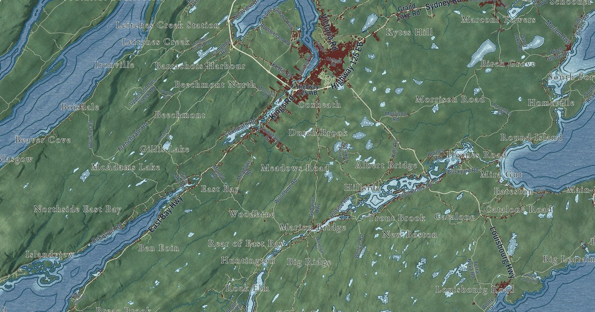
A detailed map of Cape Breton Regional Municipality, Nova Scotia, showing every building in its true location, the roads by name, and shaded topographical relief.
Read More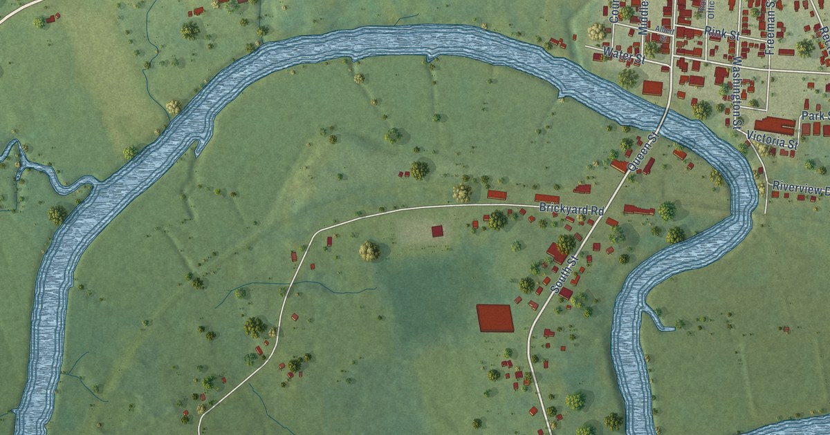
A detailed map of Carleton Corner, Nova Scotia, showing every building in its true location, the roads by name, and shaded topographical relief.
Read More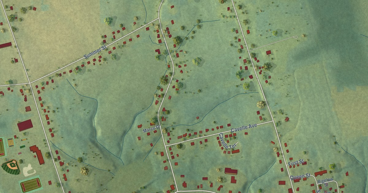
A detailed map of Canning, Nova Scotia, showing every building in its true location, the roads by name, and shaded topographical relief.
Read More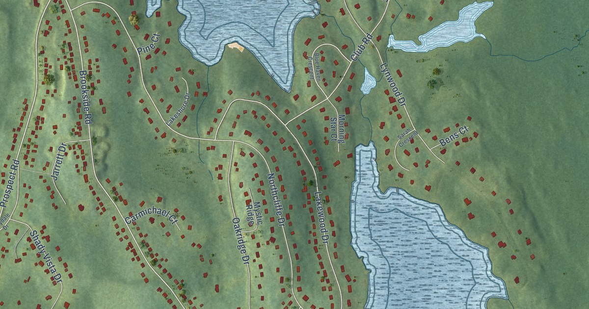
A detailed map of Brookside, Nova Scotia, showing every building in its true location, the roads by name, and shaded topographical relief.
Read More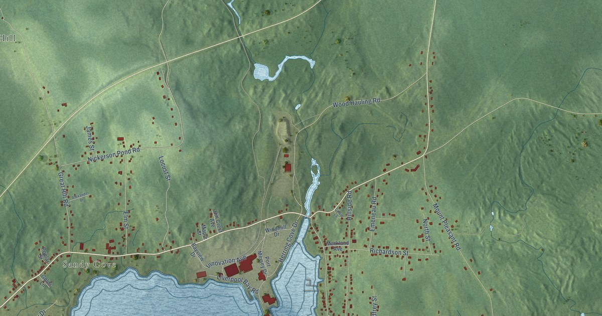
A detailed map of Brooklyn, Nova Scotia, showing every building in its true location, the roads by name, and shaded topographical relief.
Read More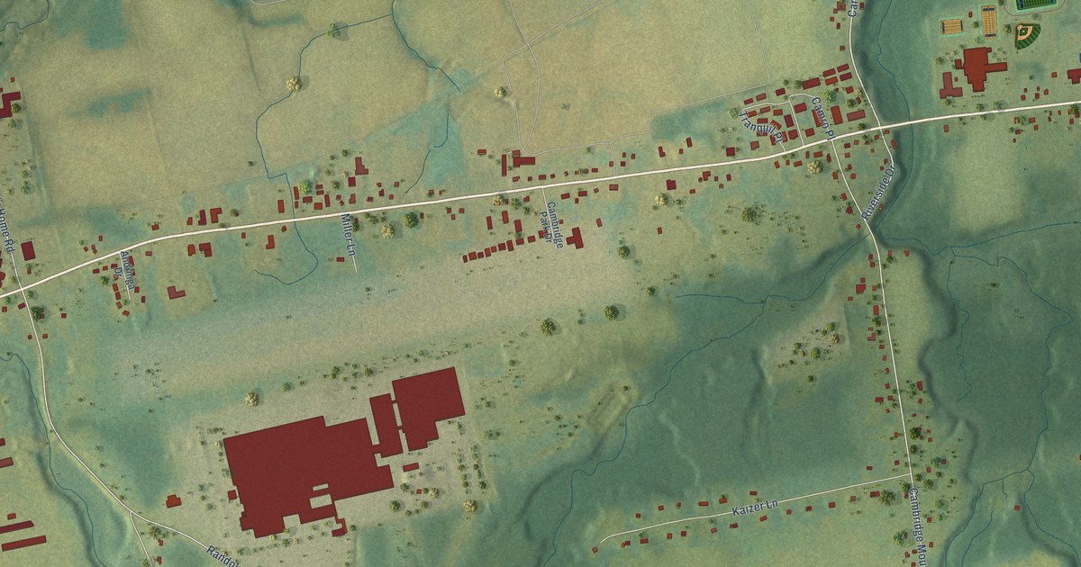
A detailed map of Cambridge, Nova Scotia, showing every building in its true location, the roads by name, and shaded topographical relief.
Read More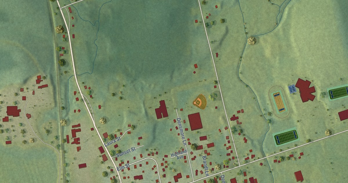
A detailed map of Brookfield, Nova Scotia, showing every building in its true location, the roads by name, and shaded topographical relief.
Read More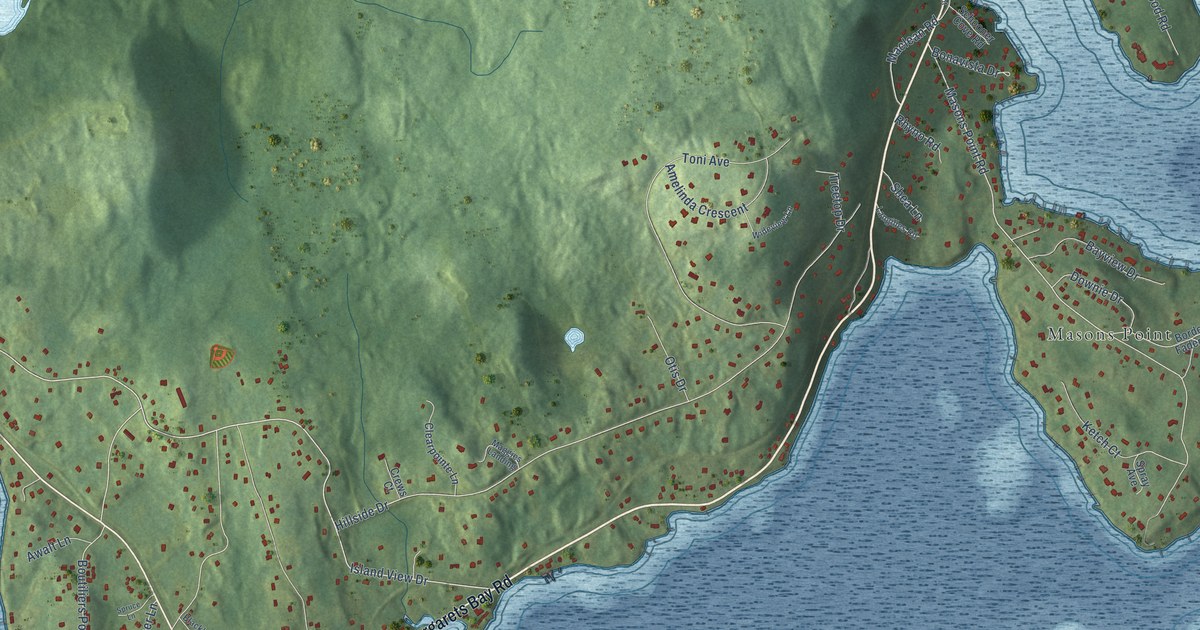
A detailed map of Boutiliers Point, Nova Scotia, showing every building in its true location, the roads by name, and shaded topographical relief.
Read More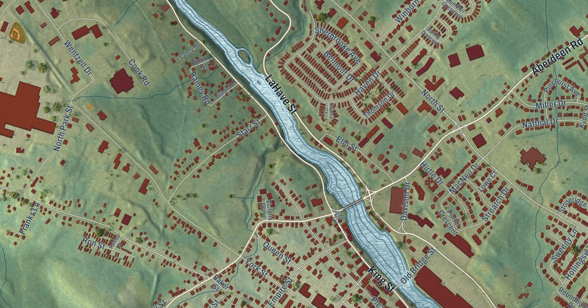
A detailed map of Bridgewater, Nova Scotia, showing every building in its true location, the roads by name, and shaded topographical relief.
Read More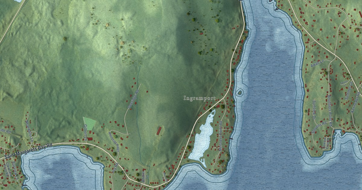
A detailed map of Black Point, Nova Scotia, showing every building in its true location, the roads by name, and shaded topographical relief.
Read More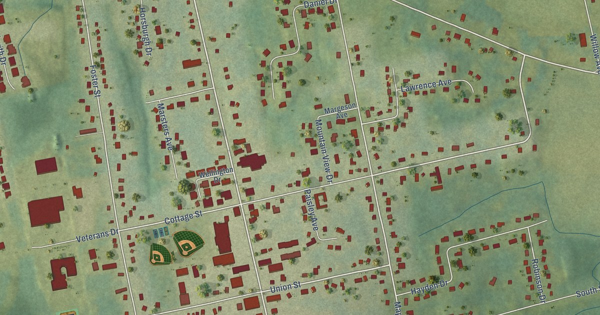
A detailed map of Berwick, Nova Scotia, showing every building in its true location, the roads by name, and shaded topographical relief.
Read More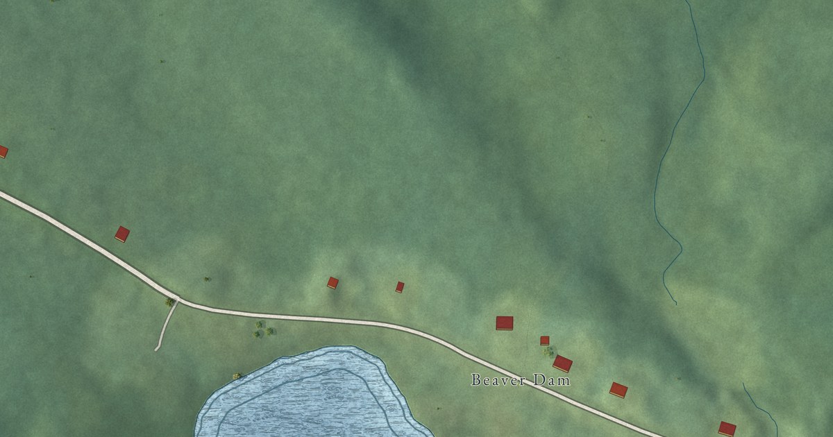
A detailed map of Beaver Lake, Nova Scotia, showing every building in its true location, the roads by name, and shaded topographical relief.
Read More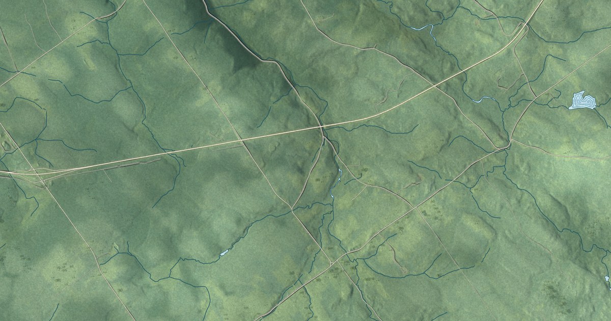
A detailed map of Bear River First Nation, Nova Scotia, showing every building in its true location, the roads by name, and shaded topographical relief.
Read More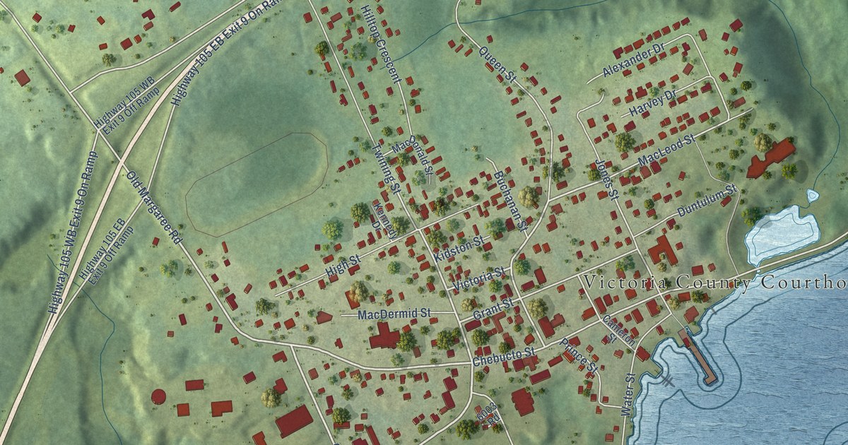
A detailed map of Baddeck, Nova Scotia, showing every building in its true location, the roads by name, and shaded topographical relief.
Read More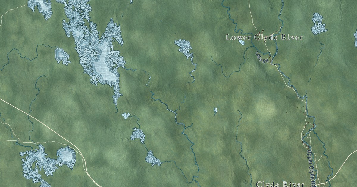
A detailed map of Barrington, Nova Scotia, showing every building in its true location, the roads by name, and shaded topographical relief.
Read More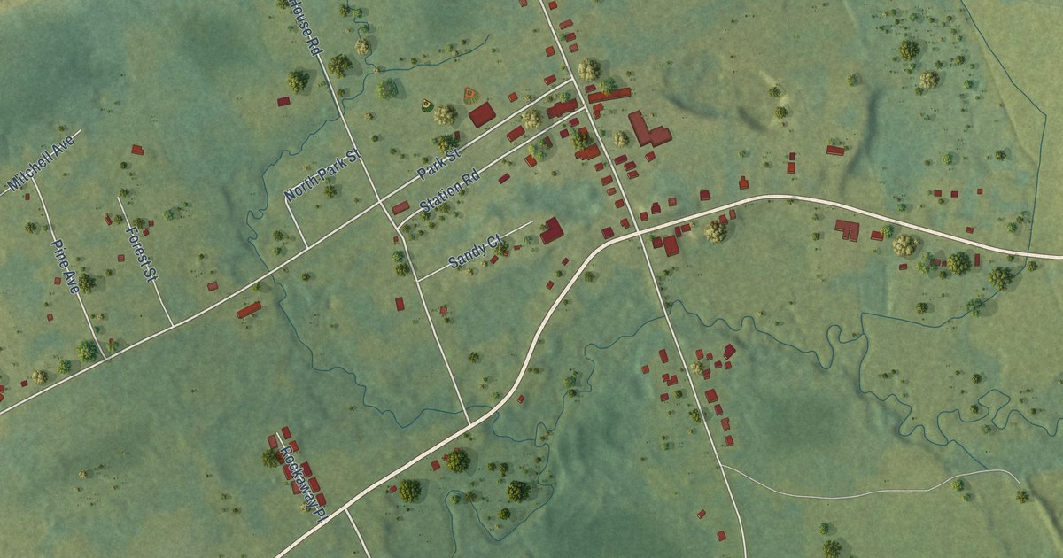
A detailed map of Aylesford, Nova Scotia, showing every building in its true location, the roads by name, and shaded topographical relief.
Read More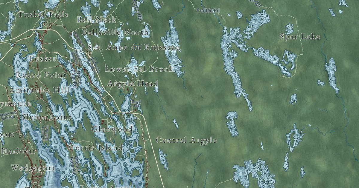
A detailed map of Argyle, Nova Scotia, showing every building in its true location, the roads by name, and shaded topographical relief.
Read More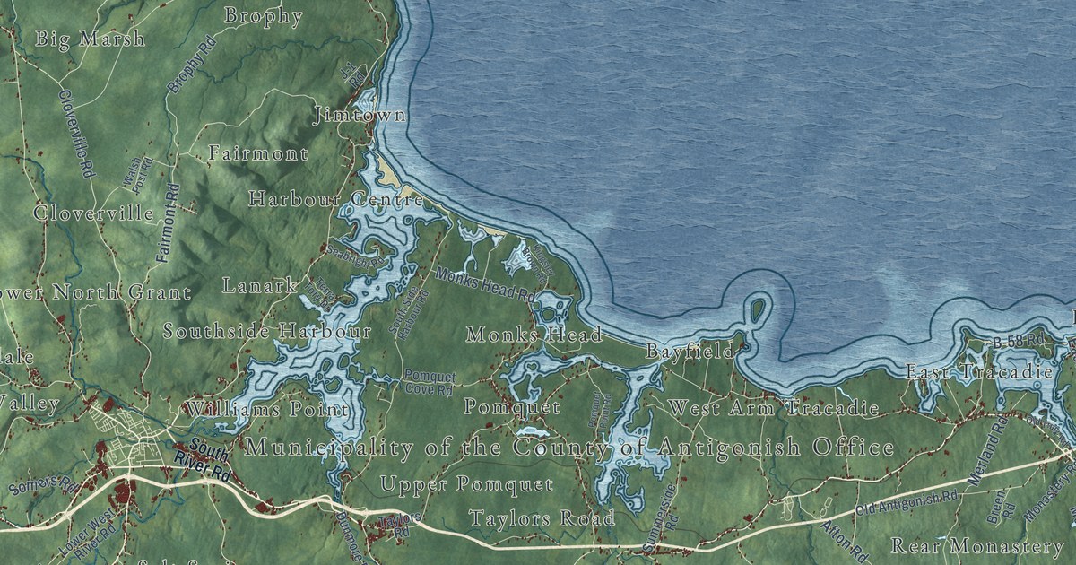
A detailed map of Antigonish County, Nova Scotia, showing every building in its true location, the roads by name, and shaded topographical relief.
Read More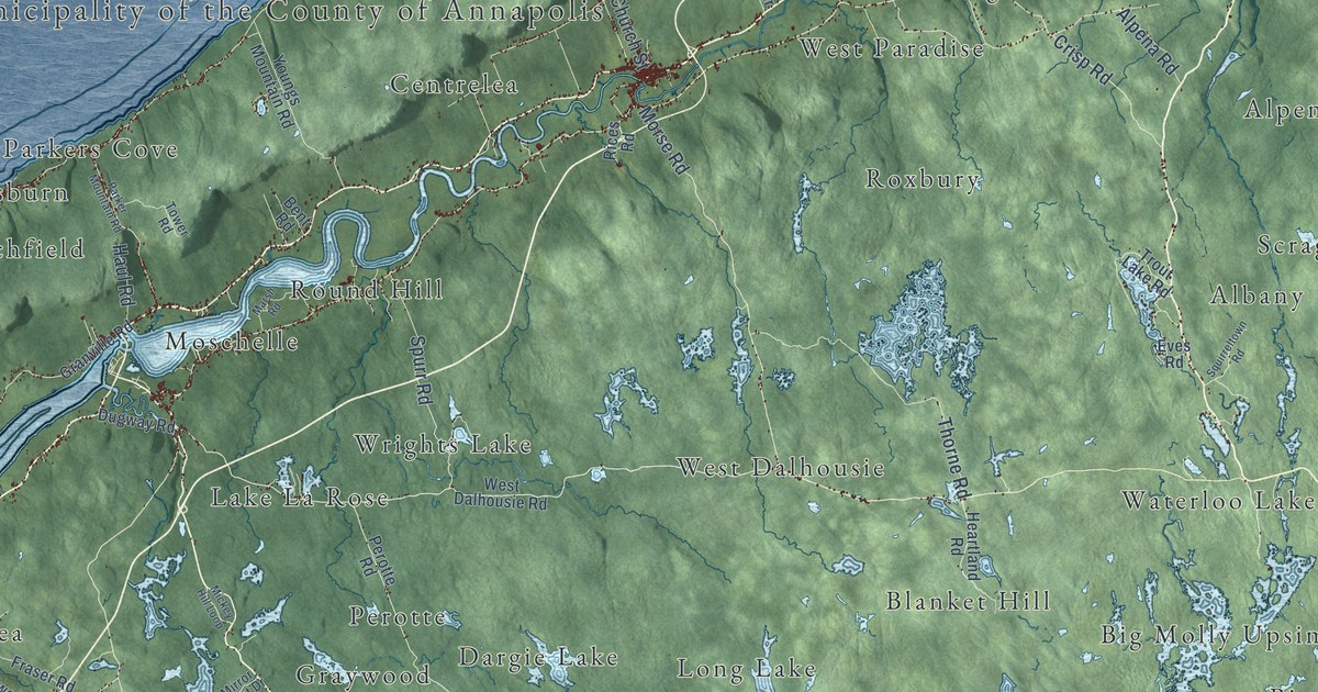
A detailed map of Annapolis County, Nova Scotia, showing every building in its true location, the roads by name, and shaded topographical relief.
Read More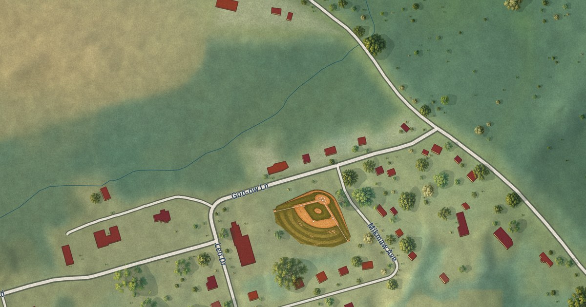
A detailed map of Annapolis Valley First Nation, Nova Scotia, showing every building in its true location, the roads by name, and shaded topographical relief.
Read More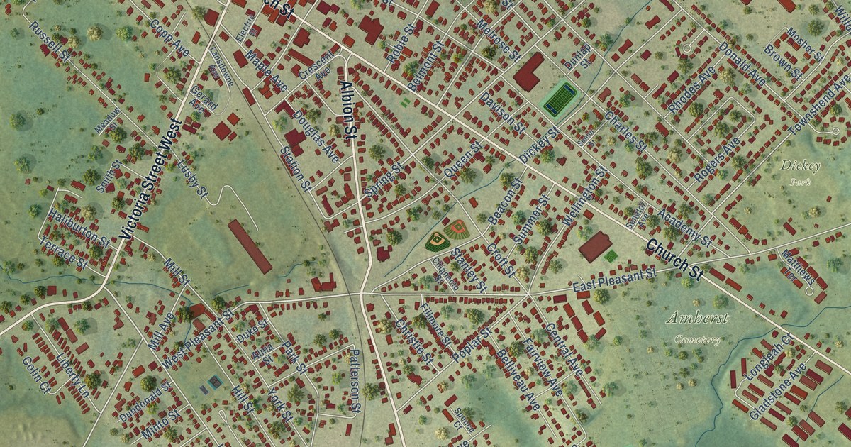
A detailed map of Amherst, Nova Scotia, showing every building in its true location, the roads by name, and shaded topographical relief.
Read More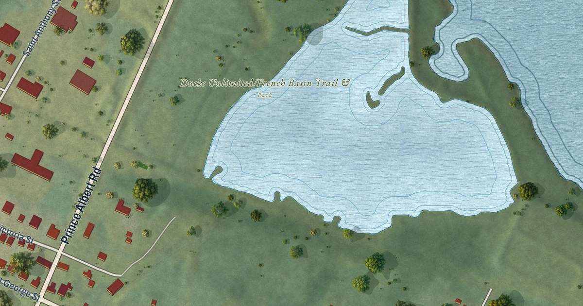
A detailed map of Annapolis Royal, Nova Scotia, showing every building in its true location, the roads by name, and shaded topographical relief.
Read More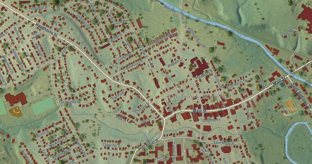
A detailed map of Antigonish, Nova Scotia, showing every building in its true location, the roads by name, and shaded topographical relief.
Read More