Detailed Map of Amanda Park, Washington
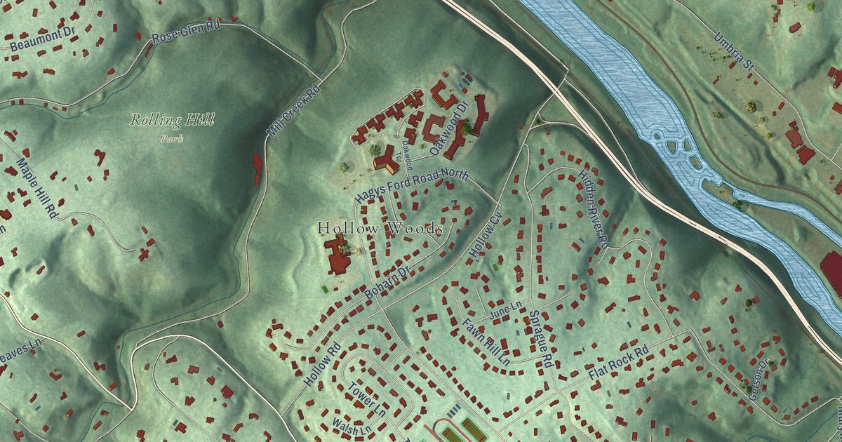
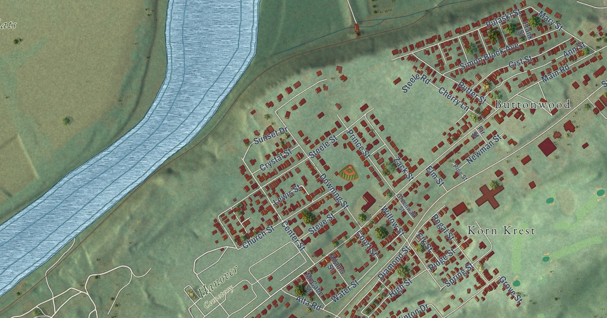
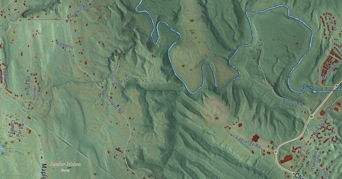
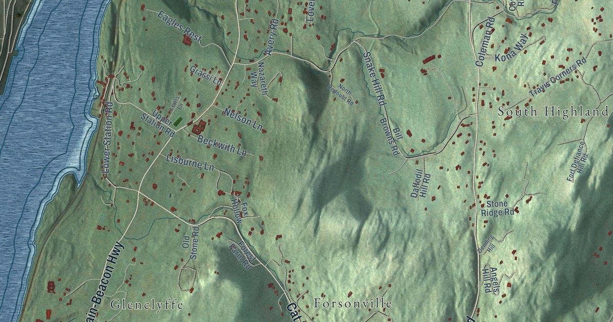
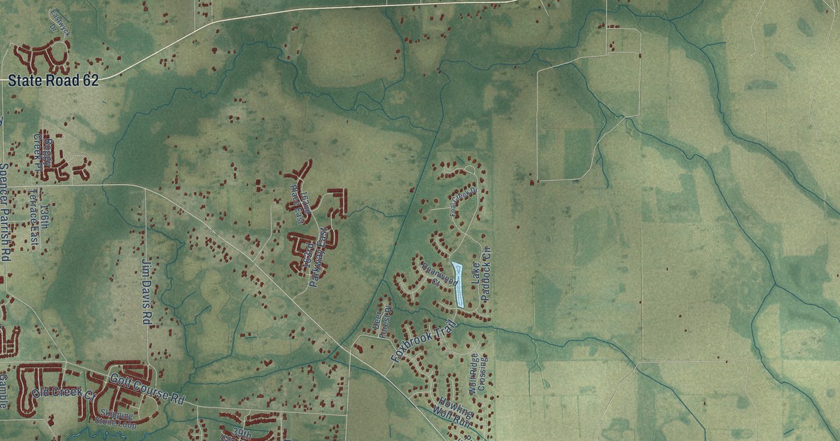
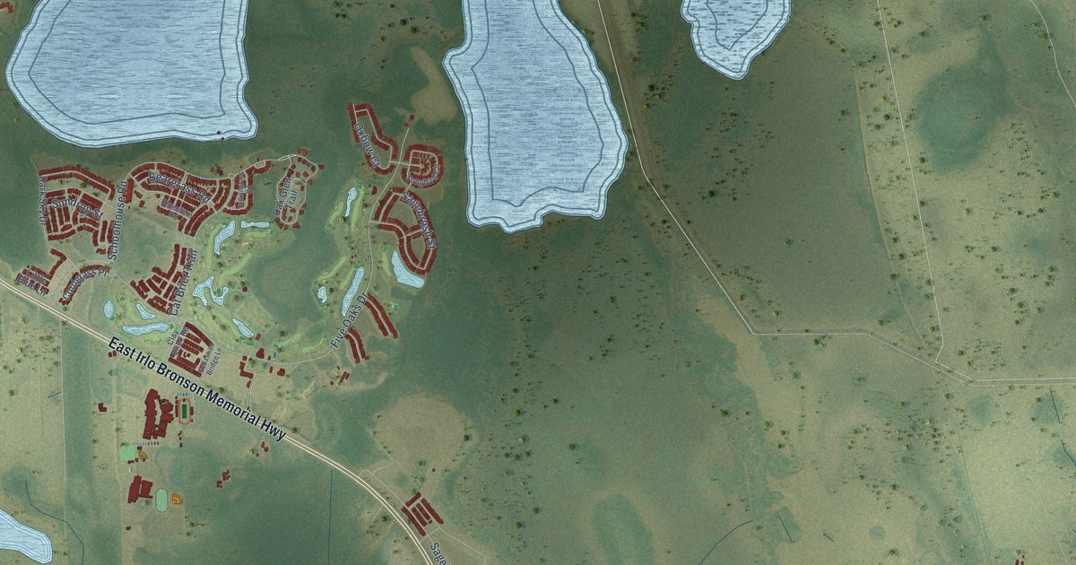
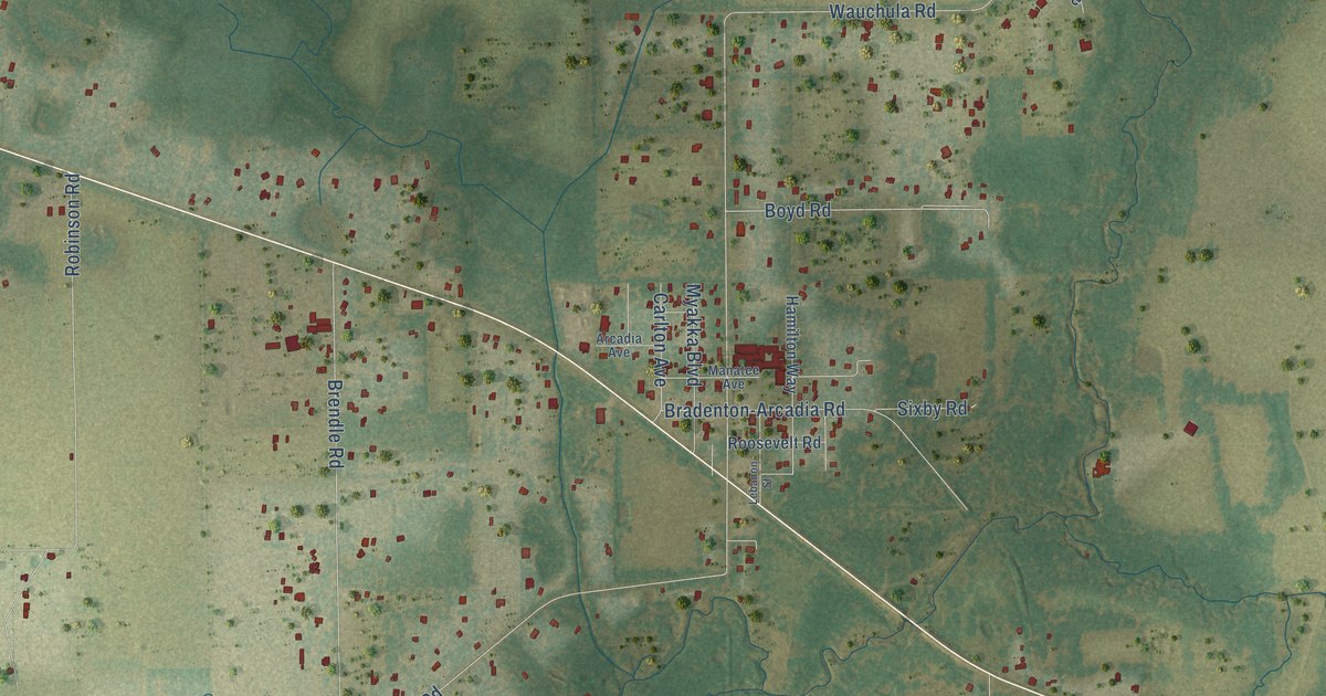
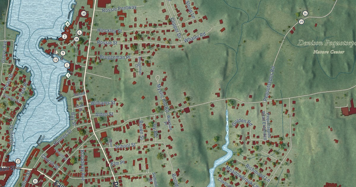
A detailed map of Amanda Park, Washington, showing every building in its true location, the roads by name, and shaded topographical relief.

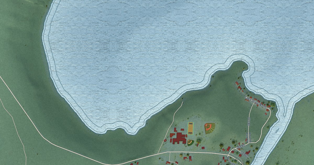
A detailed map of Amanda Park, Washington, showing every building in its true location, the roads by name, and shaded topographical relief.
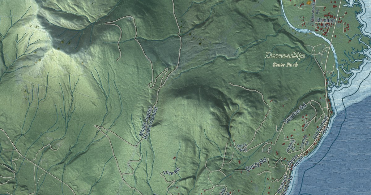
A detailed map of Brinnon, Washington, showing every building in its true location, the roads by name, and shaded topographical relief.
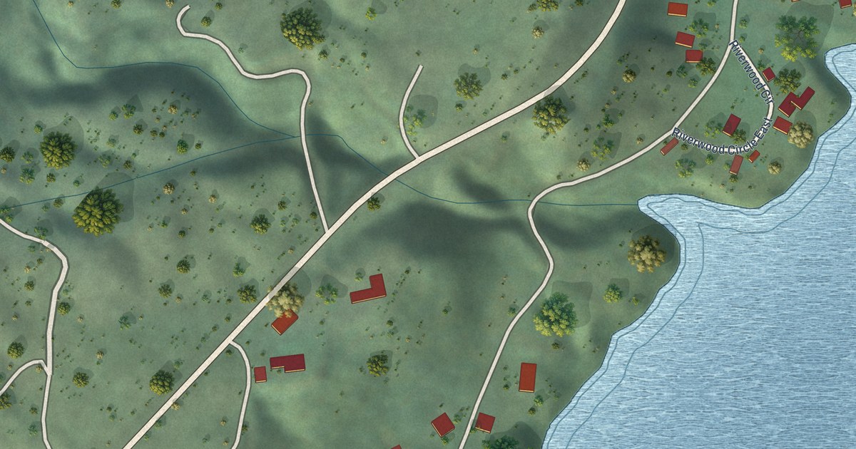
A detailed map of Barney’s Junction, Washington, showing every building in its true location, the roads by name, and shaded topographical relief.
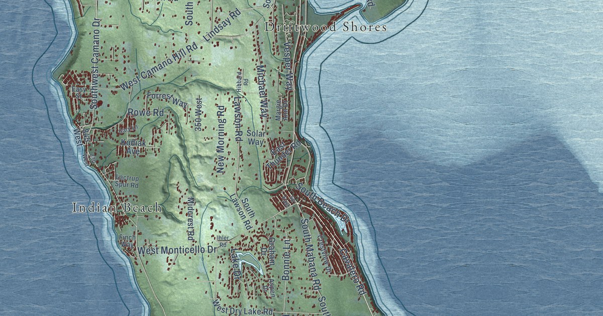
A detailed map of Camano, Washington, showing every building in its true location, the roads by name, and shaded topographical relief.
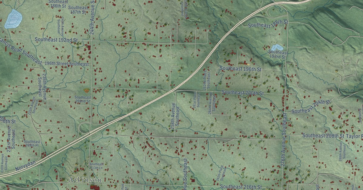
A detailed map of Hobart, Washington, showing every building in its true location, the roads by name, and shaded topographical relief.
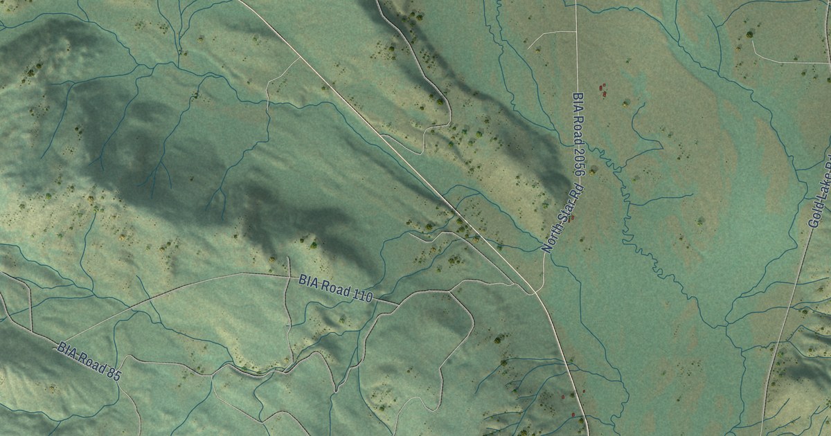
A detailed map of Nespelem Community, Washington, showing every building in its true location, the roads by name, and shaded topographical relief.
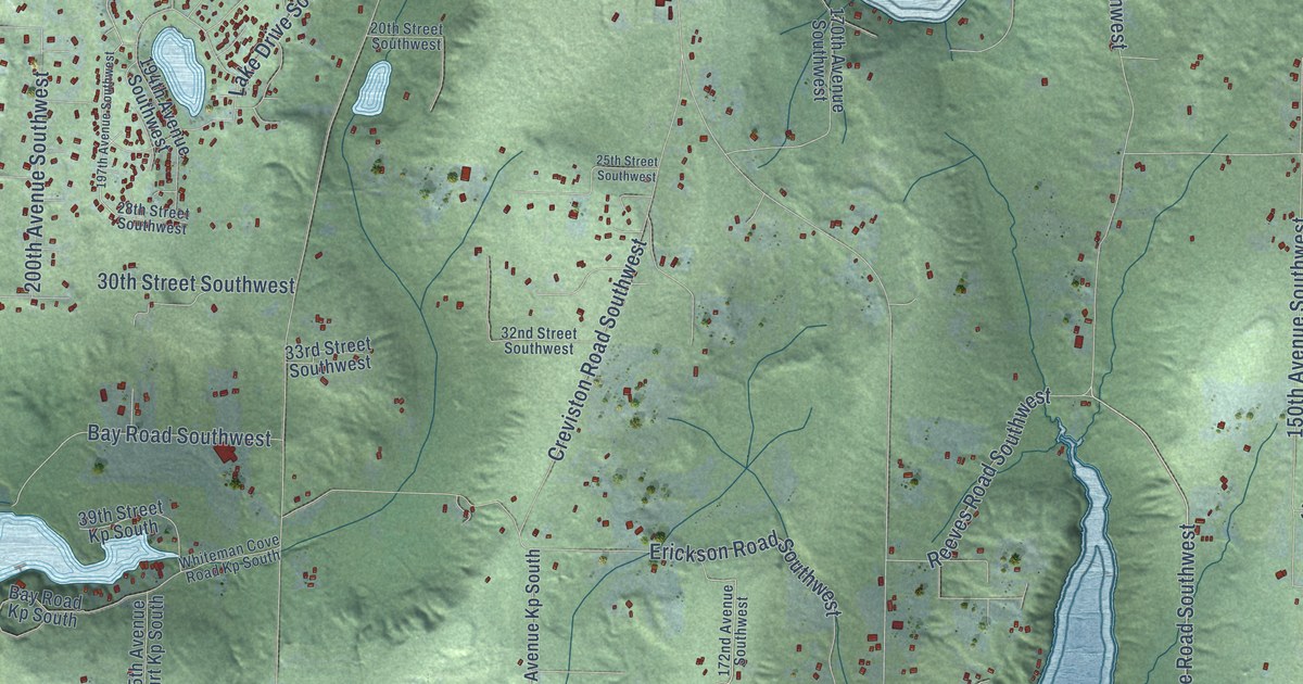
A detailed map of Longbranch, Washington, showing every building in its true location, the roads by name, and shaded topographical relief.
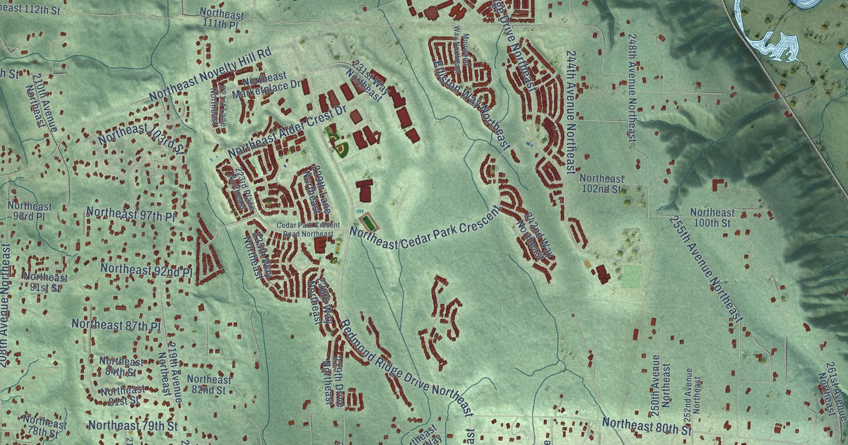
A detailed map of Union Hill-Novelty Hill, Washington, showing every building in its true location, the roads by name, and shaded topographical relief.
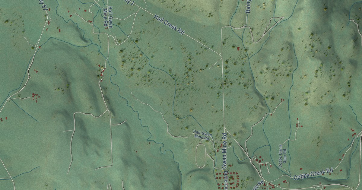
A detailed map of Inchelium, Washington, showing every building in its true location, the roads by name, and shaded topographical relief.
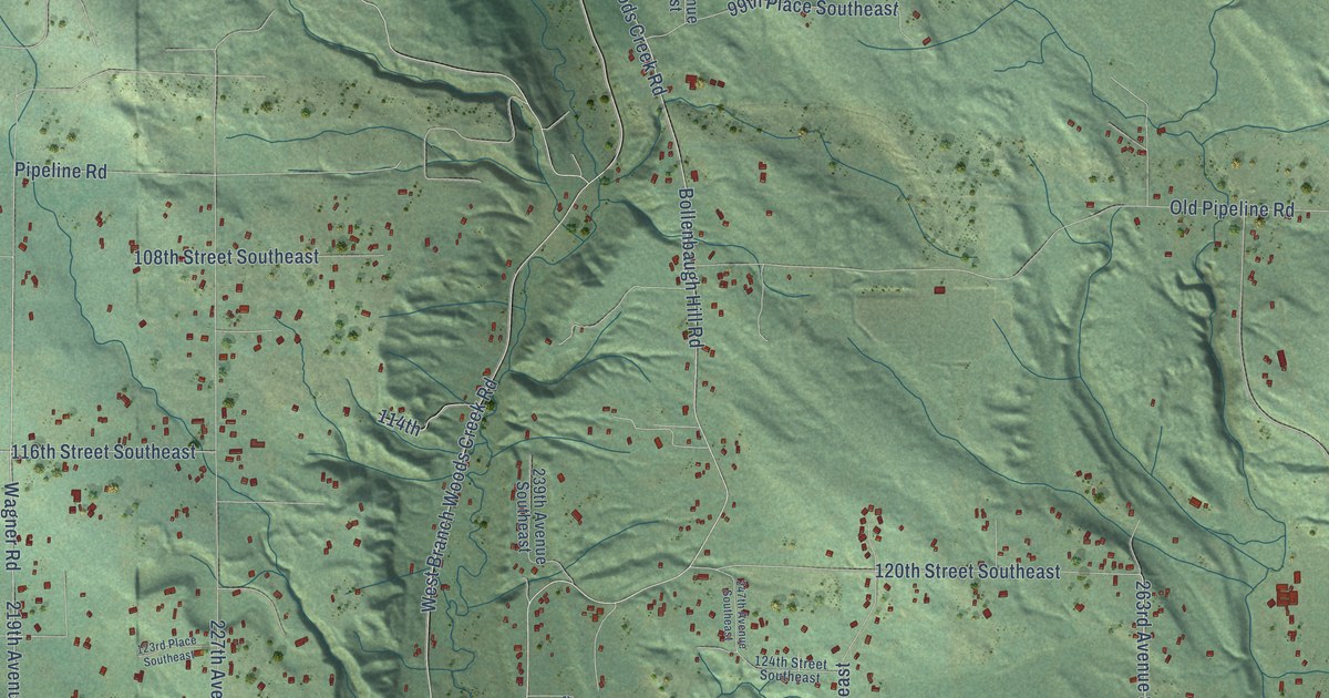
A detailed map of Woods Creek, Washington, showing every building in its true location, the roads by name, and shaded topographical relief.
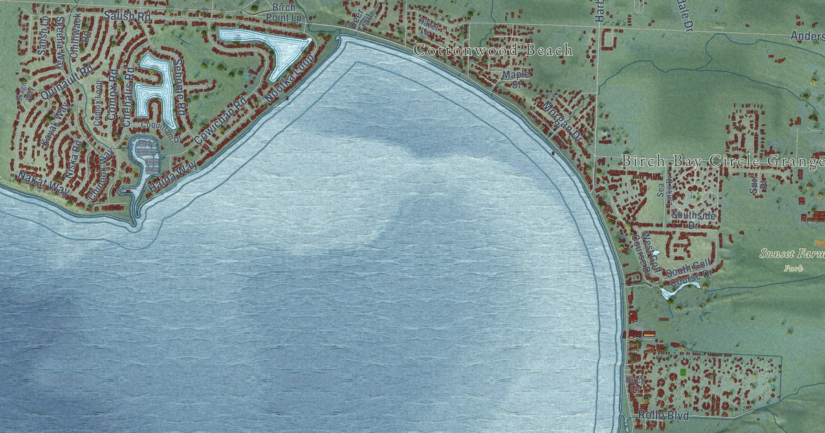
A detailed map of Birch Bay, Washington, showing every building in its true location, the roads by name, and shaded topographical relief.
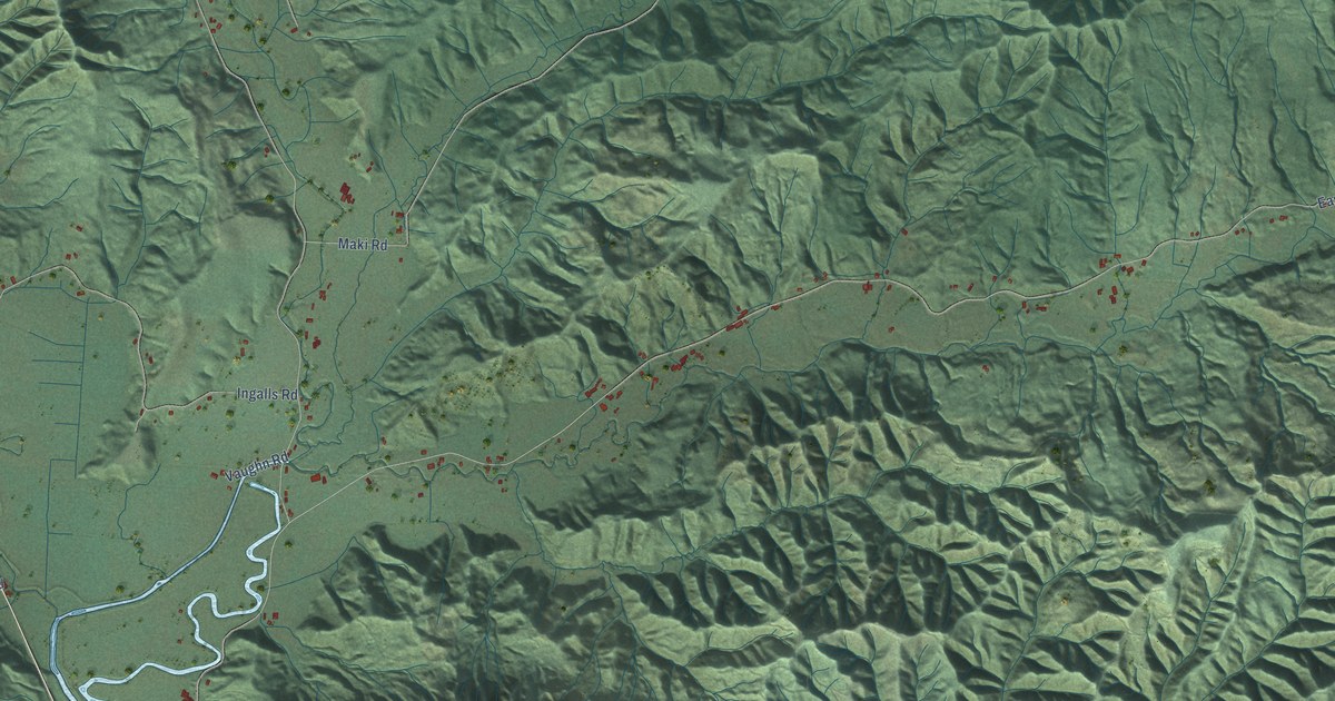
A detailed map of Skamokawa Valley, Washington, showing every building in its true location, the roads by name, and shaded topographical relief.