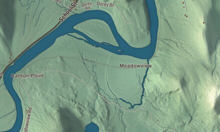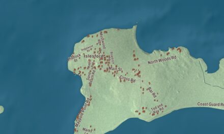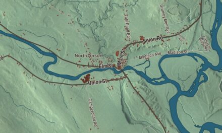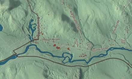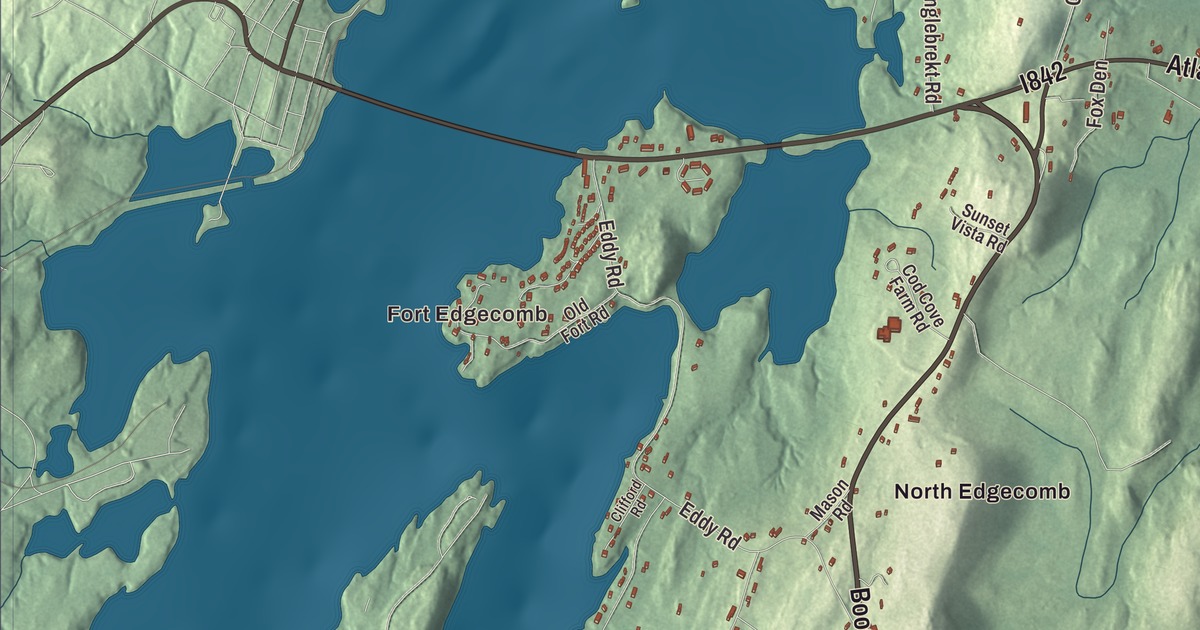
This aerial map of Edgecomb, Maine was created in 2026 using real geographic data to bring the town’s roads, buildings, neighborhoods, ponds and waterways, and terrain together in one highly detailed view. Look closer and you can pick out the familiar places that make Edgecomb feel like home. Start with the road you know, then see how it connects to the rest of the Edgecomb you call home. Click here to purchase a print of this map for your wall.
Explore an aerial view of Edgecomb, Maine
Start with Fort Edgecomb. Follow Boothbay Road, Booth Boy Road, Atlantic Highway, Mc Kay Road, Dodge Road, and Cochran Road across town. Then look outward toward Pools Landing, South Newcastle, East Edgecomb, and North Edgecomb.
Lily Pond is labeled on the map. That name is printed directly on the artwork, giving you a place to begin exploring.
Edgecomb dates to 1774. Edgecomb is a town in Lincoln County. It remains a distinct town in Maine today. Click the image below to see the area as it looked in 2026.
Take a closer look at the Edgecomb map
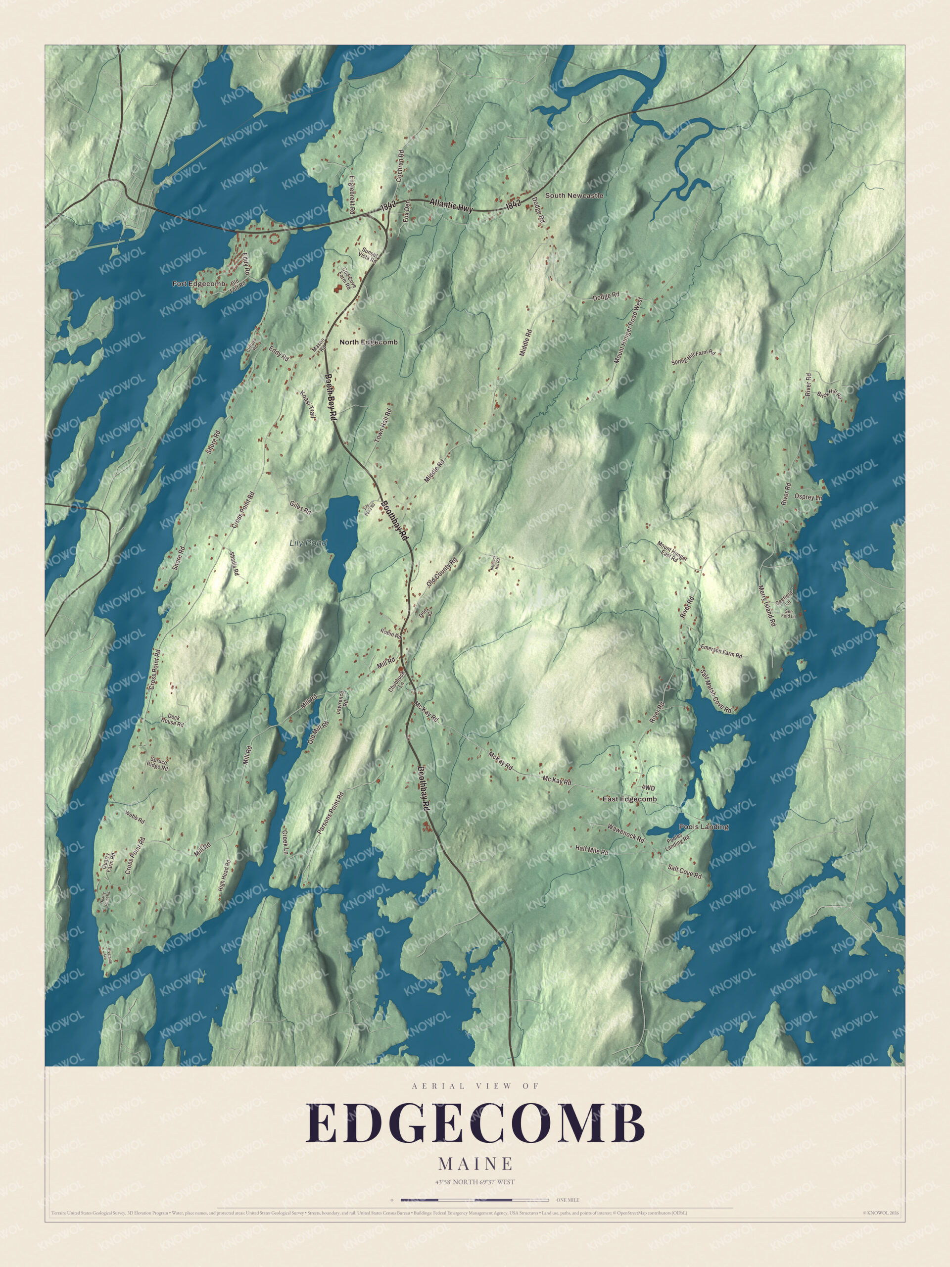
Protected watermarked preview of the complete Edgecomb, Maine map. Click the image to inspect a larger view. Purchased prints are produced without this online watermark.
We designed the artwork at KNOWOL using Edgecomb’s real roads, buildings, neighborhoods, ponds and waterways, and terrain, the town boundary, and the way buildings spread across the town. Then we chose the color, relief, lettering, and layout that make the map look great on the wall.
This beautifully detailed map of Edgecomb makes an attractive addition to your office, library, or den and can even be used to teach children the geography and history of the area. When you’re done exploring, click here to get your copy of the Edgecomb, Maine map.