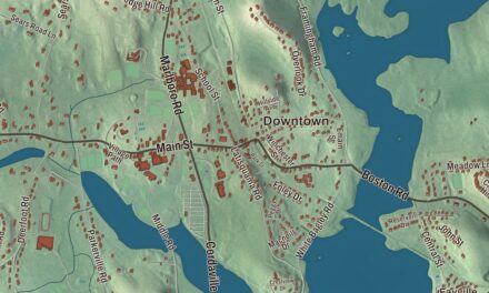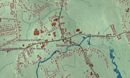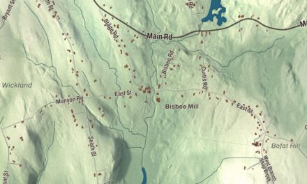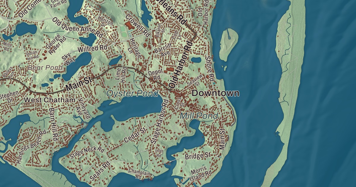
Chatham sits on the elbow of Cape Cod, and if you’re from here your landmarks are the lighthouse, the fish pier, Main Street’s shops and the long sand of Monomoy running off to the south. This map prints Main Street, Orleans Road, Old Harbor Road, Shore Road, Meeting House Road and Wilfred Road, with Oyster Pond, Mill Pond, Bear Pond, Big Station Pond, Cannon Hill and the Monomoy National Wildlife Refuge. Click here to purchase a print of this map for your wall.
Chatham is in Barnstable County, 85 miles southeast of Boston at the southeastern tip of Cape Cod.
KNOWOL made this map in 2026 from public survey data and gave it the look of an old atlas. The relief comes from United States Geological Survey elevation data, and the roads and the town line come from the Census Bureau. Chatham covers 24.4 square miles, a third of it water, with Harwich to the west, Pleasant Bay and Orleans to the north, the Atlantic Ocean to the east and Nantucket Sound to the south. Two narrow barrier strips guard the mainland from the Atlantic, the northern one part of the Cape Cod National Seashore, and Strong, Tern, Morris, Stage and Monomoy islands lie off the shore. The town had 6,594 people at the 2020 census, and in summer it can swell to 25,000.
Monomoit
The Nauset people who lived here, the Monomoy band, called the land Manamoyik or Monomoit. Samuel de Champlain landed in October 1606 and named the place Port Fortuné, and a dozen years later other Europeans called it Sutcliffe’s Inlets, but neither name stuck. English settlers came to Monomoit in 1664, by the town page’s count. The Town of Chatham’s recorded history, in the Secretary of the Commonwealth’s list, dates European settlement to 1665. Chatham was incorporated as a town in 1712, on June 11, and renamed for Chatham in Kent, England. It took in Strong Island in 1797, and it remains part of Barnstable County today.
At the elbow of the Cape, Chatham grew into a shipping, fishing and whaling center, and it still has many 18th-century buildings, whose charm helped make it a summer resort. In 1821 the selectmen had pine trees and beach grass planted on Great Hill to stop erosion and keep sand from blowing over the village, which the town page calls the first reforesting project in America.
Lights, wireless and windmills
President Thomas Jefferson established the Chatham Light in 1808, the second light station on Cape Cod. It began as twin wooden towers set on skids so they could be shifted to line up with the changing channel. Brick towers replaced them in 1841, erosion claimed those, and in 1877 new towers went up farther from the shore. In 1923 the northern twin was moved about 12 miles north to become the Nauset Light in Eastham. The keeper’s house is now a Coast Guard station, and the town’s most popular beach is Lighthouse Beach.
Where Orleans Road meets Old Comers Road, eight red brick buildings put up by the Marconi company in 1914 became, under RCA from 1921, the receiving station for WCC, the busiest ship-to-shore radio station for most of the 20th century. It served sailors around the world for more than seven decades until it closed in July 1997, and the original operating building is now the Chatham Marconi Maritime Center. The Chatham Windmill, built in 1797 by Benjamin Godfrey to grind corn, stands in Chase Park above the Mill Pond, one of the few wooden windmills left in the state and one of the few that still works. Monomoy Point Light, built in 1849 as one of the first cast iron towers, went dark in 1923 after the Cape Cod Canal drew ships away.
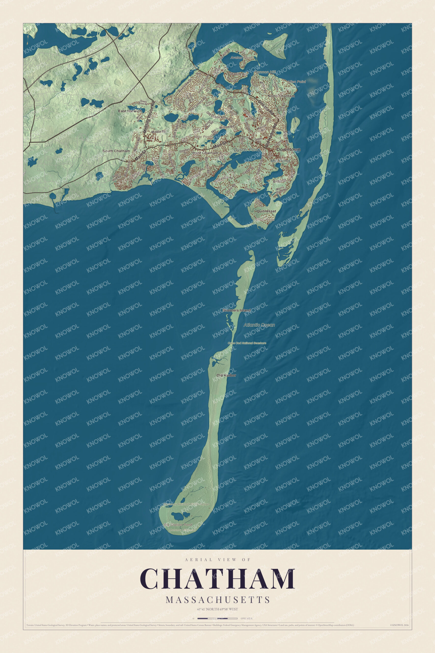
Click to explore a larger preview. The digital watermark does not appear on printed maps.
Names on this map
These names are printed on this map.
Places: Downtown, North Chatham, South Chatham, West Chatham, Allen Point, Amos Point, Avalon Point, Cannon Hill, Bear Pond, Big Station Pond, Oyster Pond, Mill Pond, Atlantic Ocean, Cape Cod National Seashore, Monomoy National Wildlife Refuge, Monomoy Wilderness, East Harwich, Old Harbor, Quitnesset and Shooters Island.
Streets and roads: Old Harbor Road, Orleans Road, Main Street, Meeting House Road, Shore Road, Wilfred Road, Old Queen Anne Road, Crowell Road, Fox Hill Road, Riverview Drive, Old Comers Road, Stage Harbor Road.
More street names, A to Z
Baileys Path, Barcliff Avenue, Barn Hill Road, Bay View Road, Bee Lane, Bridge Street, Cedar Farm Road, Cedar Street, Champlain Road, Cockle Cove Road, Cod Lane, Cove Hill Road, Cranberry Lane, Cross Street, Crows Pond Road, Deep Hole Road, Depot Road, Elkanah Street, George Ryder Road, Hardings Beach Road, Heritage Lane, Horizon Drive, Indian Hill Road, Inlet Road, Joshua Jethro Road, Landing Lane, Lime Hill Road, Middle Road, Mill Creek Road, Mill Hill Road, Mills Road, Morris Island Road, Morton Road, Northgate Road, Oval Road, Pleasant Street, Pursel Drive, Queen Anne Road, Ridgevale Road, Round Cove Road, Rush Drive, Sam Ryder Road, Seapine Road, Sears Road, Seaview Street, Sky Way, Stage Island Road, Stage Neck Road, Stephen Drive, Training Field Road, Vineyard Avenue, Whidah Road, Woodland Way.
See it on a wall
The Chatham map as a framed print. Swipe for more.


Monomoy
Monomoy Island, a spit of sand some 7 to 8 miles long, runs southwest from Chatham, sometimes joined to the mainland and sometimes cut off by storms; it may be the “Mallebare,” or bad shoals, on Champlain’s 1607 map. The Monomoy National Wildlife Refuge, set up in 1944, covers 7,604 acres of islands, marsh, dunes and ponds, with a mainland unit on Morris Island and a visitor center on Main Street. It’s an important stop for migrating birds and a breeding ground for the piping plover, and gray seals have become a common sight there.
Around the map
Start in North Chatham, then follow Old Harbor Road, Orleans Road, Main Street, Meeting House Road, Shore Road and Wilfred Road across town, and look outward toward South Chatham, West Chatham, East Harwich, Old Harbor and Quitnesset. On Main Street, the Eldredge Public Library, a Romanesque Revival building of 1896, was the gift of Marcellus Eldredge, a Chatham native who made his fortune brewing in Portsmouth, New Hampshire, and in summer there are concerts in a gazebo in a park on Main Street. The Old Harbor Life Saving Station, built in 1897 on Nauset Beach near the entrance to Chatham Harbor, is no longer here: threatened by erosion, it was cut in half in 1977 and floated by barge to Provincetown, where it’s now a museum. Stage Harbor Light, built in 1880 and replaced by a skeleton tower in 1933, stands at the entrance to a harbor still busy with Chatham’s fishing fleet. The Chatham Anglers play in the Cape Cod Baseball League. Bear Pond, Big Station Pond, Oyster Pond, Mill Pond, the Monomoy National Wildlife Refuge and Cannon Hill are all printed on the map.
Chatham’s map makes a fine addition to an office, library or den, and it can help teach children the geography and history of a fishing town at the elbow of the Cape. It’s made for people who call Chatham home, from South Chatham to North Chatham, and it shows the town as it looks today. Zoom in on the preview above to explore the details, then click here to get your copy of the Chatham, Massachusetts map.

Sources
- Chatham, Massachusetts, Wikipedia
- Chatham Light, Wikipedia
- Marconi-RCA Wireless Receiving Station, Wikipedia
- Chatham Windmill, Wikipedia
- Monomoy Point Light, Wikipedia
- Monomoy Island, Wikipedia
- Monomoy National Wildlife Refuge, Wikipedia
- Eldredge Public Library, Wikipedia
- Old Harbor U.S. Life Saving Station, Wikipedia
- Stage Harbor Light, Wikipedia
- City and Town Incorporation and Settlement Dates, Secretary of the Commonwealth of Massachusetts (archived copy)