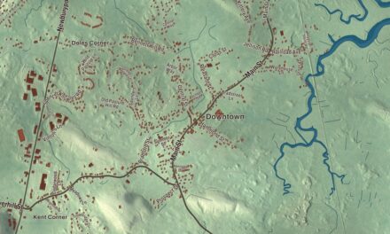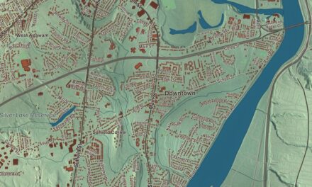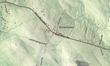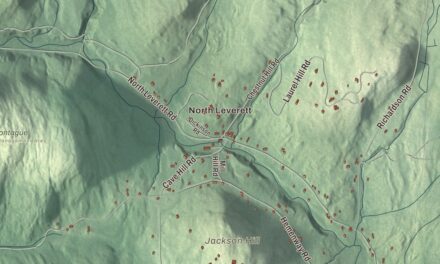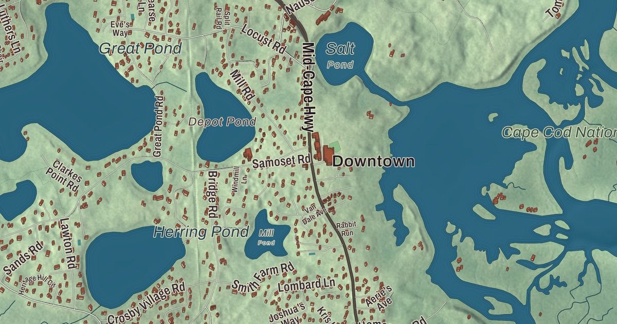
Eastham sits on the forearm of Cape Cod, with Cape Cod Bay on one side and the open Atlantic on the other. This map prints the Mid-Cape Highway, Massasoit Road, Herring Brook Road, Nauset Road, Ocean View Drive and Old Orchard Road, with First Encounter Beach, Fort Hill, Great Pond, Herring Pond and Hopkins Island. Click here to purchase a print of this map for your wall.
Eastham is in Barnstable County, the gateway to the Cape Cod National Seashore.
KNOWOL made this map in 2026 from public survey data and gave it the look of an old atlas. The relief comes from United States Geological Survey elevation data, and the roads and the town line come from the Census Bureau. Eastham covers 25.7 square miles, nearly half of it water, with Cape Cod Bay to the west, the Atlantic Ocean to the east, Wellfleet to the north and Orleans to the south. The town had 5,752 people at the 2020 census.
First Encounter
The Nauset people lived here first. In 1620 a hunting party from the Mayflower, which had stopped in Provincetown harbor after a rough Atlantic crossing, came ashore in Eastham, and the Pilgrims’ first encounter with the Nauset took place at what became known as First Encounter Beach. Europeans didn’t settle until later; the Town of Eastham’s recorded history, in the Secretary of the Commonwealth’s list, dates European settlement to 1644. The first town took in what are now Truro, Wellfleet, Eastham, Orleans and a bit of Chatham. Eastham was incorporated as a town in 1646, according to the state’s list, though the town’s page gives 1651. The town remains part of Barnstable County today.
Fishing and above all farming were the early livelihoods, and writers and artists came too. Freeman Hatch, born in Eastham, set a record in 1853 sailing the clipper Northern Light from San Francisco around Cape Horn to Boston, and its page says that record still stands for a single-hull vessel. Gustavus Franklin Swift started his first meatpacking business in Eastham before moving on and eventually starting the meatpacking industry in Chicago. In the 1800s a site called Millennium Grove, in the northwest part of town, held one of New England’s largest summer camp meetings, which Henry David Thoreau wrote about in Cape Cod; Campground Road and Millennium Lane are among the few reminders. Henry Beston wrote The Outermost House here, about a year in a small dune cottage two miles south of the Nauset Coast Guard station.
The windmill and the lights
The Eastham Windmill, near the Town Hall in the Eastham Center Historic District, is the oldest windmill on Cape Cod. Thomas Paine of Eastham built it in Plymouth in 1680; it went to Truro in 1770, came to Eastham in 1793 and was moved to its present spot in 1808. On the ocean side, the Three Sisters of Nauset were three lights built close together on the cliffs so sailors could tell them apart from the single light at Truro and the twin lights at Chatham. Erosion took the first brick towers, wooden ones replaced them in 1892, and the three have since been moved back to a field about 1,000 feet west of Nauset Light. Nauset Light itself is an 1877 tower moved here from Chatham in 1923, and the red top it was given in the 1940s created its well-known look. Click here to learn more about the history of Eastham.
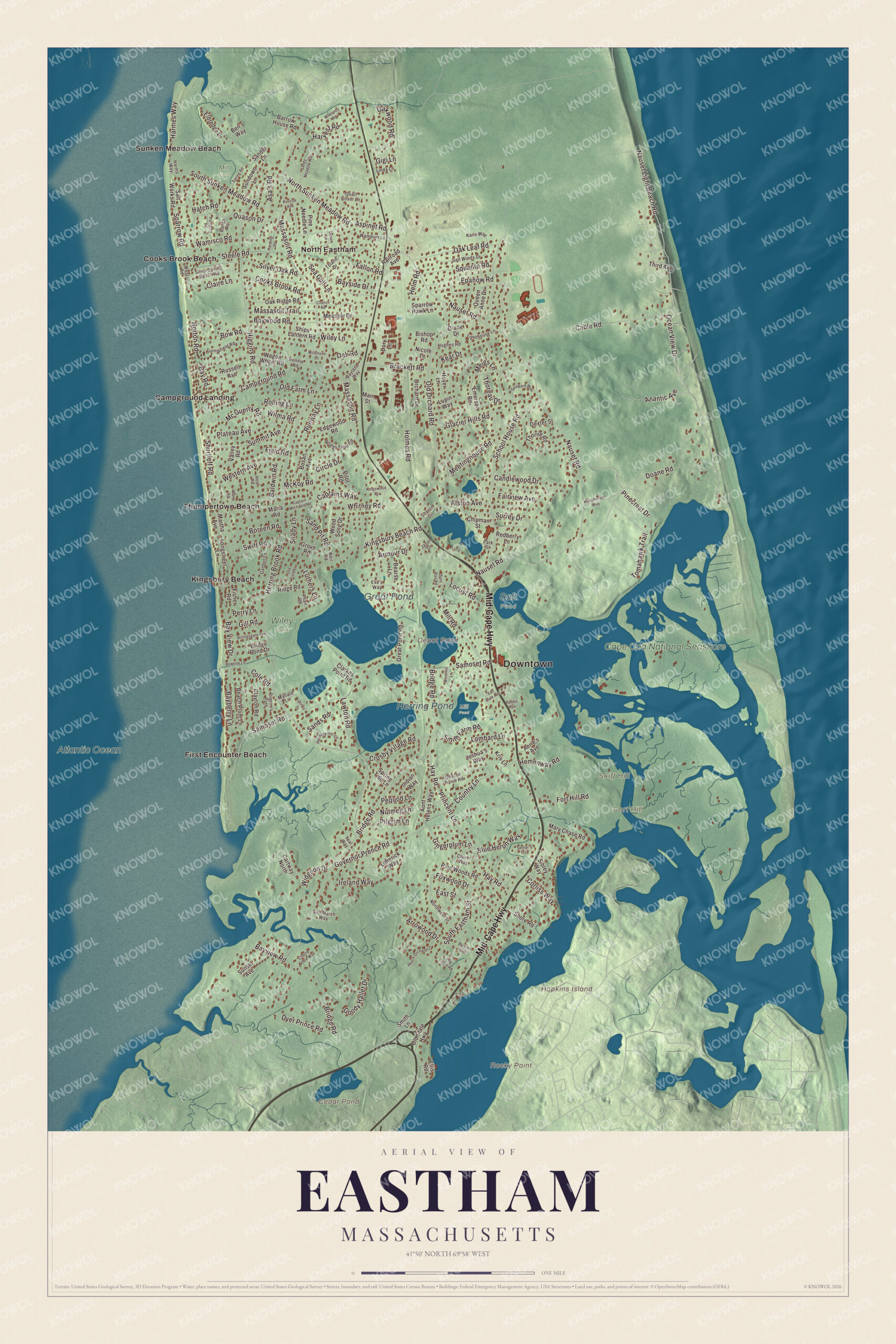
Click to explore a larger preview. The digital watermark does not appear on printed maps.
Names on this map
These names are printed on this map.
Places: Downtown, Fort Hill, Hopkins Island, Rocky Point, Skiff Hill, Cedar Pond, Depot Pond, Great Pond, Herring Pond, Atlantic Ocean, Cape Cod National Seashore, Mill Field, Salt Pond, Wiley Park, Mill Pond, Campground Landing, Cooks Brook Beach, First Encounter Beach, Kingsbury Beach, North Eastham, Sunken Meadow Beach and Thumpertown Beach.
Streets and roads: Mid-Cape Highway, Herring Brook Road, Massasoit Road, Ocean View Drive, Old Orchard Road, Nauset Road, Locust Road, Tomahawk Trail, Country Lane, Bay View Drive, Princent Lane, Foxwood Drive.
More street names, A to Z
Aerie's Avenue, Alston Avenue, Armour Drive, Arrowood Drive, Asa's Road, Aspinet Road, Atlantic Avenue, Aunt Helens Way, Baldwin Road, Bangs Road, Barrow House Road, Bayberry Lane, Bayland Way, Bay Road, Bayside Drive, Bayview Road, Baywood Road, Beach Plum Lane, Bearse Lane, Ben's Way, Billingsgate Avenue, Bishop Road, Blue Heron Way, Boreen Road, Bosan Avenue, Bowline Lane, Bow Road, Brackett Road, Bridge Pond Drive, Bridge Road, Briggs Field Road, Cable Road, Campground Road, Candlewood Drive, Captain Michaels Road, Captains Way, Cartway North, Charlie Noble Way, Chipman Street, Church Road, Circle Drive, Claire Lane, Clarkes Point Road, Clayton Road, Clover Way, Cole Road, Cooks Brook Road, Corliss Way, Crosby Village Road, Deacon Paine Road, Devon Lane, Dexter Street, Diane Drive, Dirk's Drive, Doane Road, Dory Lane, Dyer Prince Road, East Street, Edgewood Road, Eldredge Drive, Ellis Road, Emerson Road, Epanow Road, Eve's Way, Fairview Avenue, Fallon Road, Field Road, Fisher Road, Fort Hill Road, Garden Lane, Gigi Lane, Gill Road, Gingerplum Lane, Glacier Hills Road, Goody Hallet Drive, Governor Prence Road, Great Pond Road, Grove Road, Harding Road, Harmes Way, Harms Way, Harvest Road, Hatch Road, Hay Road, Helm Road, Hemenway Road, Heritage Hill Circle, Higgins Road, Holmes Road, Horton Road, Hoyer Lane, Hoyt Road, Hughes Road, Indian Way, Ireland Way, Jason Drive, Joshua's Way, Kaits Way, Kear Drive, Kingsbury Beach Road, Kingswood Drive, Kris Lane, Lawton Road, Lighthouse Lane, Limerick Way, Linda Lane, Log Cabin Road, Lombard Lane, Longstreet Lane, Lupin Way, Luthers Lane, Macpherson Way, Main Street, Mallard Lane, Maria Road, Martha Avenue, Mary Chase Road, Mary Road, Massasoit Trail, Mc Guerty Road, McKoy Road, Meadow Drive, Meetinghouse Road, Meigs Lane, Millenium Lane, Mill Road, Nauset Light Beach Road, Nicole Lane, North Sunken Meadow Road, Northwest Street, Nutmeg Lane, Oak Leaf Road, Oak Ridge Road, Oak Road, Oakwood Road, Old Farm Lane, Old Field Lane, Old State Highway, Orchard Drive, Park Street, Peach Orchard Lane, Pequod Lane, Perkins Glen, Perry Lane, Phair Road, Pilgrim's Path, Pilgrim Lane, Pilot Road, Pinecrest Drive, Pine Needle Lane, Pine Woods Road, Plateau Avenue, Pompmo Road, Quail Cover Lane, Quason Drive, Queen Anne Drive, Rabbit Run, Railroad Avenue, Redberry Lane, Ridge Road, Rolling Lane, Ronnie Road, Roscoe Avenue, Runway Lane, Russell Avenue, Salt Marsh Way, Salt Winds Drive, Salt Works Road, Samoset Road, Sander Lane, Sand Pit Road, Sands Road, Sandy Meadow Way, School House Road, Sea Gull Lane, Seaward Way, Settler's Trce, Shady Lane, Sharon Circle, Ships Lantern Road, Shore Road, Shurtleff Road, Sibley Way, Silver Oak Road, Silver Spring Beach Road, Smith Farm Road, Smith Lane, South Eastham Street, South Sunken Meadow Road, Sparrow Hawk Lane, Sparrow Road, Split Rail Road, Spring Road, Spring Tide Lane, Squanto Road, Steele Road, Summit Avenue, Sundown Lane, Sunset Avenue, Surrey Drive, Swift Road, Teal Way, Third Avenue, Thoreau Drive, Thorne Road, Toland Drive, Turnipfield Road, Valley Road, Van Dale Avenue, Wagon Wheel Road, Wamisco Road, Wampum Lane, Weir Road, Western Avenue, West Road, Whelpley Road, Whitney Road, Widgeon Drive, Wiley Lane, Wilma Road, Windmill Lane, Wood Song Drive.
See it on a wall
The Eastham map as a framed print. Swipe for more.


Fort Hill and the ponds
About a third of the town lies inside the Cape Cod National Seashore. Fort Hill looks out over 100 acres of forest, fields and salt marsh that the Knowles and Penniman families owned from 1742 to 1941, now the Fort Hill Rural Historic District. There Captain Edward Penniman, who ran away to sea on a whaler at eleven and commanded his own ship by 29, built his house in 1868 with plans he drew himself, including a bath with hot running water; it now sits on the National Park Service’s Fort Hill Trail. Skiff Hill lies north of Fort Hill. Inland, the largest of the freshwater ponds near the center of town is Great Pond, with two public beaches, and it’s the only one in town where water skiing is allowed, on even-numbered days. On the bay side, Cooks Brook Beach in North Eastham sits at the end of Steele Road, off Massasoit Road, and creeks and the Herring River run in from the bay.
Around the map
Start with Campground Landing, then follow the Mid-Cape Highway, Herring Brook Road, Massasoit Road, Ocean View Drive, Old Orchard Road and Nauset Road across town, and look outward toward Cooks Brook Beach, First Encounter Beach, Kingsbury Beach, North Eastham and Sunken Meadow Beach. The Eastham Historical Society keeps four museums along Route 6, among them the 1869 Schoolhouse Museum and the 1741 Swift-Daley House, open in July and August. Cedar Pond, Depot Pond, Great Pond, Herring Pond, Herring Brook, Fort Hill, Skiff Hill and Hopkins Island are all printed on the map.
The Eastham map makes a fine addition to an office, library or den, and it can help teach children the geography and history of the place where the Pilgrims first met the Nauset. It’s made for people who call Eastham home, from North Eastham to Fort Hill, and it shows the town as it looks today. Zoom in on the preview above to explore the details, then click here to get your copy of the Eastham, Massachusetts map.

Sources
- Eastham, Massachusetts, Wikipedia
- Northern Light (clipper), Wikipedia
- The Outermost House, Wikipedia
- Eastham Windmill, Wikipedia
- Three Sisters of Nauset, Wikipedia
- Nauset Light, Wikipedia
- Fort Hill Rural Historic District, Wikipedia
- Edward Penniman House and Barn, Wikipedia
- Skiff Hill, Wikipedia
- Cooks Brook Beach, Wikipedia
- City and Town Incorporation and Settlement Dates, Secretary of the Commonwealth of Massachusetts (archived copy)