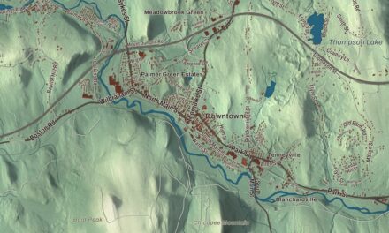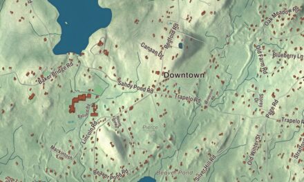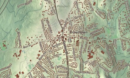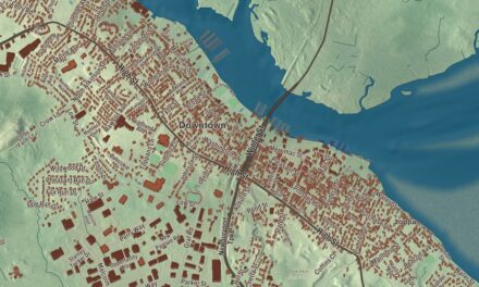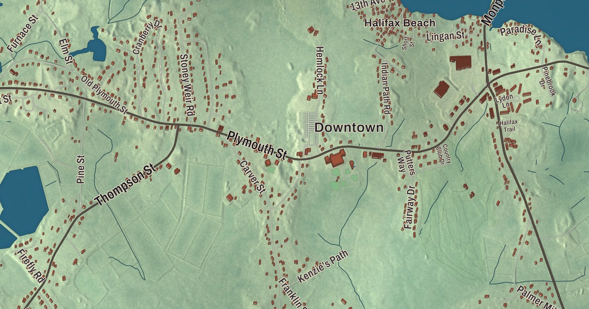
So much of Halifax is water that its town page says its geography is dictated by it: Silver Lake on one side, the twin Monponsett Ponds in the middle, swamps and old cranberry bogs to the west. This map prints Monponsett Street, Plymouth Street, Thompson Street, Holmes Street, Oak Street and River Street, with West Lake, East Lake, Bonney Pond, Hemlock Island, Howard Island and Halifax Beach. Click here to purchase a print of this map for your wall.
Halifax is in Plymouth County.
KNOWOL made this map in 2026 from public survey data and gave it the look of an old atlas. The relief comes from United States Geological Survey elevation data, and the streets and the town line come from the Census Bureau. Halifax covers 17.3 square miles, 1.2 of them water, between Hanson, Pembroke, Plympton, Middleborough, Bridgewater and East Bridgewater. It’s about 12 miles west of Plymouth and 33 miles south-southeast of Boston, and it had 7,749 people at the 2020 census.
Out of Plympton
The Town of Halifax’s recorded history, in the Secretary of the Commonwealth’s list, dates European settlement to 1670. The town page puts the first European settlers here a year earlier, in 1669, most notably the Bosworth family, and says the place grew on lumbering and farming. Halifax was set off from Plympton and incorporated as a town in 1734, and it was named for Halifax in West Yorkshire, England. The town remains part of Plymouth County today.
Halifax was part of an early effort to build a canal between Buzzards Bay and Massachusetts Bay: in 1795 a canal was proposed from the Taunton River to the North River. It was never built, but the town’s sawmills kept growing, along with cranberry growing, iron furnaces and a wool mill. In the 1800s the railroad came and brought people from the city out to the shores of Silver Lake and the Monponsett Ponds. Today Halifax is mostly residential, with a small shopping area growing at the center of town, where the post office and the Holmes Public Library also stand.
Two Halifax men
Alexander Parris was born in Halifax in 1780. He began as a housewright, apprenticed at 16 in Pembroke, and grew into an architect who worked from the Federal style into the Greek Revival. He designed Quincy Market in Boston in granite, his favorite material, spent twenty years working for the Boston Navy Yard in Charlestown, and drew plans for many stone lighthouses along the Northeast coast. He was also among the architects whose work led to the American Institute of Architects. Joshua Cushman, born in Halifax in 1761, served in the Continental Army from 1777 to 1780, graduated from Harvard, and preached in Winslow, Maine, for nearly twenty years. He was elected to Congress from Massachusetts and then, after Maine became a state, from Maine.
Ponds, lakes and bogs
Monponsett Pond, sometimes called the Twin Lakes, was once a single lake and is now split by Route 58 into West and East Monponsett ponds, mostly in Halifax. The strip of land between them is barely 150 feet wide in places. White Island, in the middle of the pond, is known to have been the fishing camp of Wamsutta, brother of Metacomet. Part of Silver Lake’s western shore forms Halifax’s town line, and Brockton, which draws its water from the lake, has its treatment plant on Route 36 in Halifax. Robbins Pond, the Indian Trail Reservoir and Burrage Pond lie in the west of town, with Great Cedar Swamp and Peterson Swamp on either side of the Monponsett Ponds. The Burrage Pond Wildlife Management Area, shared with Hanson, covers 1,625 acres of swamp, cedar forest and old cranberry bogs, among them Bog 18, which its page calls the biggest in the world. Along the Bridgewater line, the town’s border follows the Taunton River.
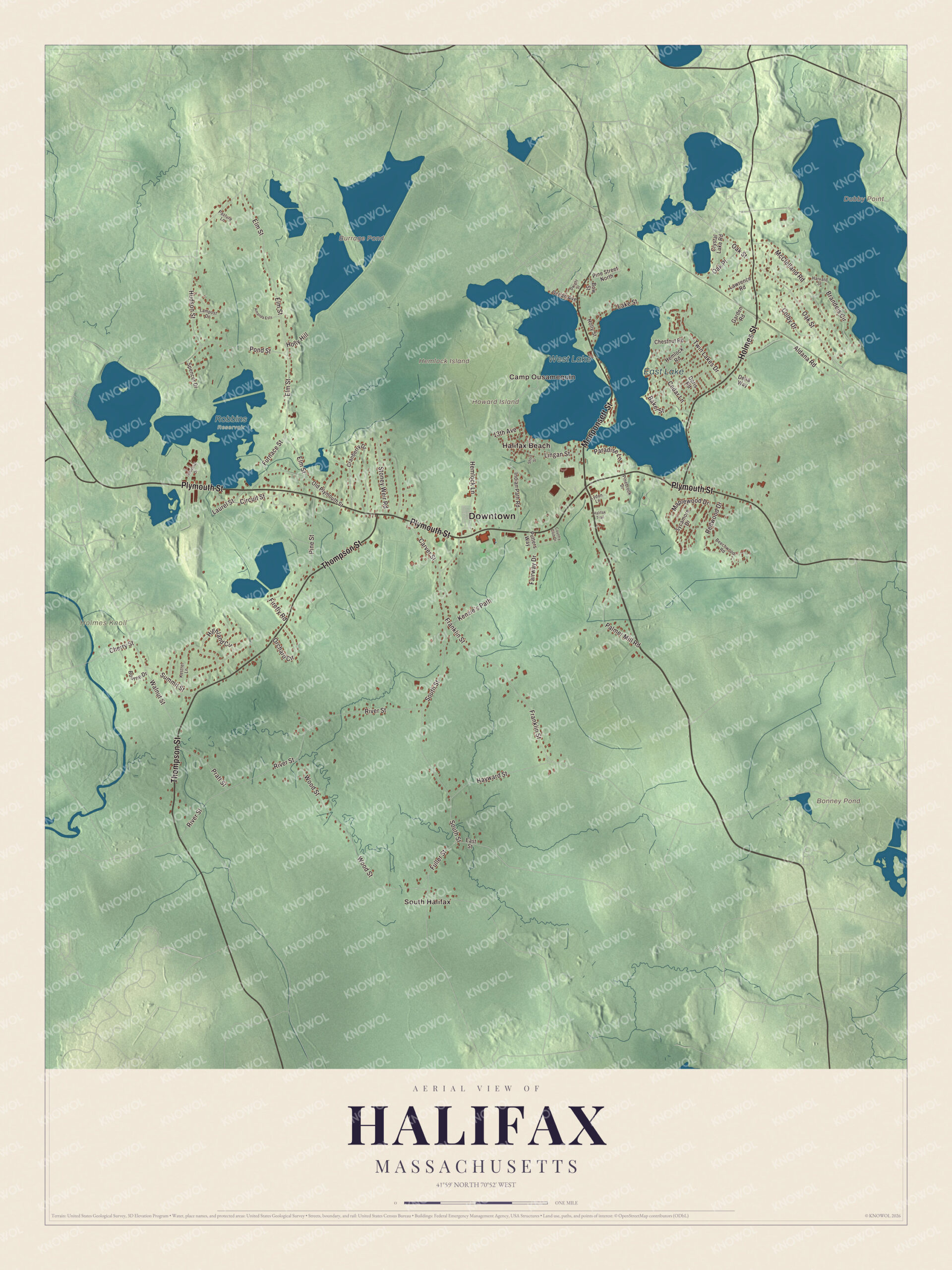
Click to explore a larger preview. The digital watermark does not appear on printed maps.
Names on this map
These names are printed on this map.
Places: Downtown, South Halifax, Camp Ousamequin, Dubby Point, Hemlock Island, Holmes Knoll, Howard Island, Bonney Pond, Burrage Pond, West Lake, East Lake, Robbins Reservoir and Halifax Beach.
Streets and roads: Monponsett Street, Plymouth Street, Thompson Street, Holmes Street, Oak Street, River Street, Circuit Street, Wood Street, South Street, Elm Street, Franklin Street, Lingan Street.
More street names, A to Z
13th Avenue, Aldana Road, Amanda Ests, Baker Street, Beechwood Road, Bourne Drive, Bow Street, Brandeis Circle, Carver Street, Cedar Lane, Cherry Street, Chestnut Road, Colby Drive, Country Club Drive, Cranberry Drive, Crystal Lake Road, Delia Way, Doris Road, Dwight Street, East Street, Fairway Drive, Firefly Road, Fuller Street, Furnace Street, Garden Road, Halifax Trail, Harvard Street, Hayward Street, Hemlock Lane, Hemlock Road, Highland Circle, Holly Hill, Holly Street, Hudson Street, Indian Path Road, Industrial Drive, Kenzie's Path, Kestrel Lane, Lake Street, Lampost Drive, Laurel Street, Lawrence Road, Lydon Lane, Maplewood Drive, McClelland Road, Oak Place, Ocean Avenue, Old Plymouth Street, Orchard Circle, Palmer Mill Road, Paradise Lane, Pasture Lane, Pinebrook Drive, Pine Street, Pine Street North, Pond Street, Pratt Street, Putters Way, Redwood Drive, Short Street, Spencer Drive, Stoney Weir Road, Summit Street, Sycamore Drive, Twin Lakes Drive, Walnut Street.
See it on a wall
The Halifax map as a framed print. Swipe for more.


Around the map
Start with South Halifax, then follow Monponsett Street, Plymouth Street, Thompson Street, Holmes Street, Oak Street and River Street across town. Look outward toward Halifax Beach. Bonney Pond, West Lake, East Lake, Hemlock Island and Howard Island are all printed on the map. Every one of those names is right there on the artwork.
The Halifax map makes a fine addition to an office, library or den, and it can help teach children the geography and history of a town shaped by its ponds. It’s made for people who call Halifax home, from South Halifax to Halifax Beach, and it shows the town as it looks today. Zoom in on the preview above to explore the details, then click here to get your copy of the Halifax, Massachusetts map.

Sources
- Halifax, Massachusetts, Wikipedia
- Alexander Parris, Wikipedia
- Joshua Cushman, Wikipedia
- Monponsett Pond, Wikipedia
- Silver Lake (Plymouth County, Massachusetts), Wikipedia
- Burrage Pond Wildlife Management Area, Wikipedia
- City and Town Incorporation and Settlement Dates, Secretary of the Commonwealth of Massachusetts (archived copy)