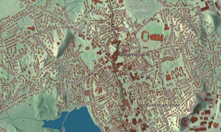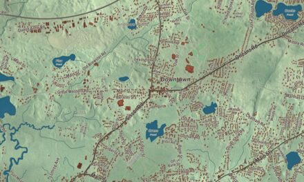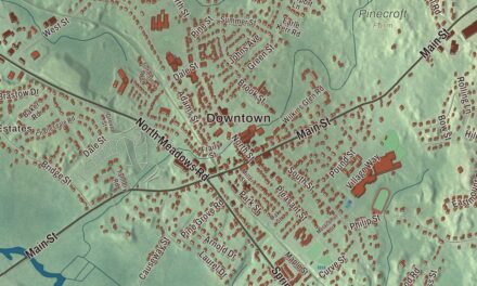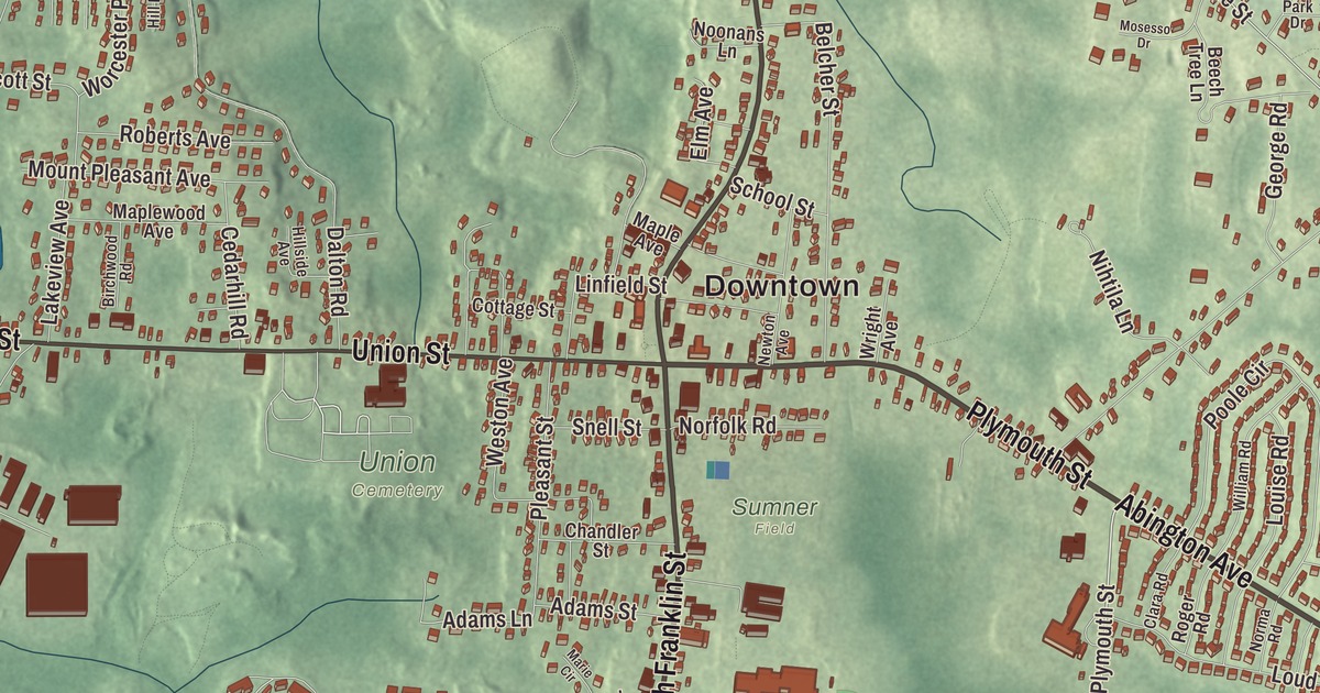
Holbrook folks know the square where North Franklin Street meets Union Street, with the town hall, the church and the old fire station gathered around the park. This map prints North Franklin Street, South Franklin Street, Union Street, Plymouth Street, Abington Avenue and Sycamore Street, with Lake Holbrook, Cushing Pond, Cranberry Pond and Turkey Hill. Click here to purchase a print of this map for your wall.
Holbrook is in Norfolk County.
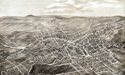
KNOWOL made this map in 2026 from public survey data and gave it the look of a vintage atlas. United States Geological Survey elevation data shapes the land, and the Census Bureau supplied the streets and the town line. Holbrook is a compact town of 7.4 square miles, bordered by Braintree, Weymouth, Abington, Brockton, Randolph and Avon, and the town page counts 11,405 people as of 2023. Routes 37 and 139, the main roads, meet at the center of town.
East Randolph
The Town of Holbrook’s recorded history, in the Secretary of the Commonwealth’s list, dates European settlement to 1710, when the land was the southern part of old Braintree. It later became East Randolph, divided from the rest of Randolph by the track of the Old Colony Railroad, and the town page says pressure for a separate town had been building there by 1871. A quarrel over where to put a cupola on Stetson Hall, as a vent for the gas lights, finally set off the petition. Holbrook was incorporated as a town in 1872, on February 29, the last town carved from the old lands of Braintree. It was named for Elisha N. Holbrook, who gave the money for its town hall and library. The town remains part of Norfolk County today.
Farming and home trades, especially shoemaking, carried the economy through the 1700s and 1800s. During the Civil War the need for soldiers’ boots moved shoe production out of homes and into factories. Members of the 54th Massachusetts Volunteer Infantry are buried in Holbrook’s Union Cemetery, and so is George Mason Lovering, who grew up in East Randolph and earned the Medal of Honor at the siege of Port Hudson in 1863. After World War II a building boom turned Holbrook into a largely residential town, and most residents now commute to work in Greater Boston.
Holbrook Square
The Holbrook Square Historic District gathers three buildings around Mary Wales Holbrook Park, just north and west of the junction of North Franklin Street and Union Street. A fire in December 1877 destroyed the first town hall and the church beside it, and the town rebuilt on the square. The Norcross Brothers built the brick Gothic Revival town hall in 1878 and 1879 and the Stick style Winthrop Congregational Church from 1878 to 1880, and the Central Fire Station followed in 1881. The district was listed on the National Register in 2006.
Holbrook’s notable people include Elihu Adams, a brother of President John Adams and a minuteman in the Continental Army, and Andrew Card, who served as White House chief of staff from 2001 to 2006. Commuter trains to South Station stop at the Holbrook/Randolph station on the town line.
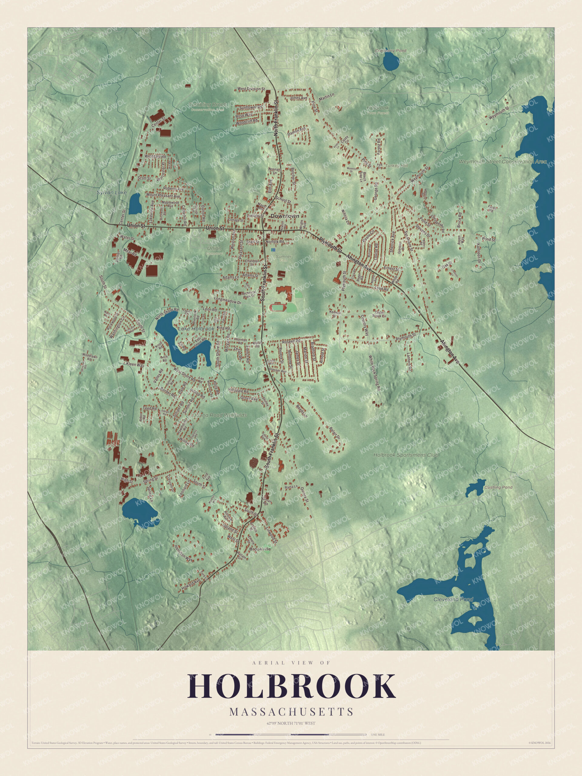
Click to explore a larger preview. The digital watermark does not appear on printed maps.
Names on this map
These names are printed on this map.
Places: Downtown, Brookville, Turkey Hill, Cranberry Pond, Cushing Pond, Cleveland Pond, Lake Holbrook, Sylvan Lake, Holbrook Sportsmens Club, Weymouth Street Conservation Area, Donna Road Wellfields, Holbrook Town Forest, Sumner Field, Tumbling Brook Conservation Area, Union Cemetery and Laurel Park.
Streets and roads: Abington Avenue, Plymouth Street, South Franklin Street, North Franklin Street, Union Street, Sycamore Street, Pine Street, Border Road, South Street, Poole Circle, North Shore Road, Linwood Street.
More street names, A to Z
Adams Lane, Adams Street, Alder Road, Arbor Road, Arch Road, Arnold Street, Aspen Way, Baker Road, Beech Tree Lane, Belair Drive, Belcher Street, Birchwood Road, Bradford Street, Bruce Road, Casey Circle, Cedar Brook Circle, Cedarhill Road, Center Street, Chandler Street, Chesapeake Road, Chestnut Lane, Clara Road, Clover Road, Collins Road, Cottage Street, Country Way, Crescent Drive, Cypress Road, Dale Road, Dalton Road, Damon Avenue, Diman Avenue, Dresser Avenue, East Shore Road, Ell Road, Elm Avenue, Emery Street, Ernest Street, Fagus Road, Fargo Road, Fern Road, Ford Avenue, Forest Road, Francis Street, French Road, George Road, Gioioso Drive, Grove Avenue, Hallam Drive, Hamilton Way, Hawthorne Road, High Street, Hill Road, Hillsdale Road, Hillside Avenue, Hilltop Road, Hillview Avenue, Holly Road, Howard Avenue, Indian Road, James Street, Johns Avenue, Juniper Road, Kathleen Drive, Kenmar Drive, King Road, Kleen Way, Knoll Road, Koski Lane, Lakeview Avenue, Lantern Road, Len Road, Leonard Lane, Leon Road, Lincoln Avenue, Linfield Street, Longmeadow Drive, Loud Road, Louise Road, Manor Road, Maple Avenue, Maplewood Avenue, Marie Circle, Marion Street, Martin Lane, Mayflower Road, Mear Road, Medallion Road, Morgan Road, Mosesso Drive, Mount Pleasant Avenue, Murphys Way, Newton Avenue, Nihtila Lane, Noonans Lane, Norfolk Road, Norma Road, Oak Street, Overlook Road, Park Drive, Phillips Road, Pleasant Street, Pond Street, Quincy Street, Rama Lane, Reeds Lane, Revere Street, Rindone Street, Roberts Avenue, Rockwood Street, Roger Road, Roseen Road, Rose Way, School Street, Scott Street, Sherrick Avenue, Shirley Street, Snell Street, South Shore Road, Spring Lane, Spring Street, Springvale Avenue, Stevens Drive, Summit Road, Sunflower Road, Sylvan Road, Technical Park Drive, Teed Road, Thornton Road, Ture Lane, Upland Street, Valley Road, Walsh Road, Washington Circle, Water Street, Westdale Road, West Division Street, Weston Avenue, West Shore Road, West Street, Weymouth Street, White Road, White Rock Spring Road, William Road, Willow Road, Woodcliff Road, Woodlawn Road, Worcester Place, Wright Avenue, Zenas Road.
See it on a wall
The Holbrook map as a framed print. Swipe for more.


Around the map
Start with Brookville. Follow Abington Avenue, Plymouth Street, South Franklin Street, North Franklin Street, Union Street and Sycamore Street across town. Cranberry Pond, Cushing Pond, Cleveland Pond, Lake Holbrook, the Weymouth Street Conservation Area and Turkey Hill are all printed on the map, and every one of those names is right there on the artwork.
The Holbrook map makes a fine addition to an office, library or den, and it can help teach children the geography and history of an old shoemaking town. It’s made for people who call Holbrook home, from Brookville to the square, and it shows the town as it looks today. Zoom in on the preview above to explore the details, then click here to get your copy of the Holbrook, Massachusetts map.

Sources