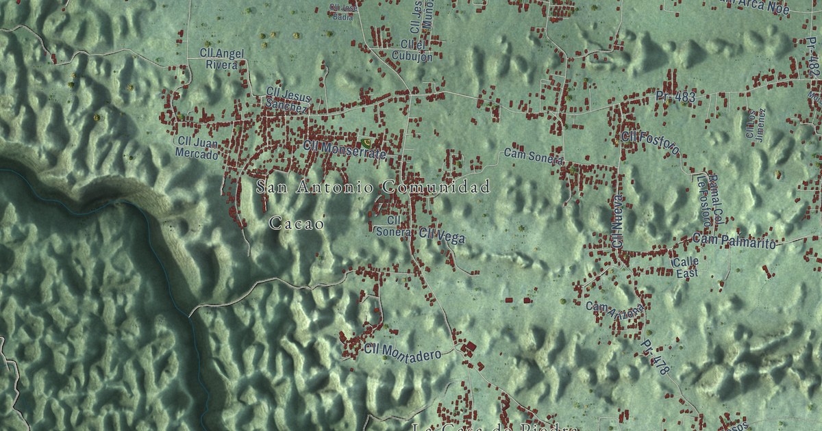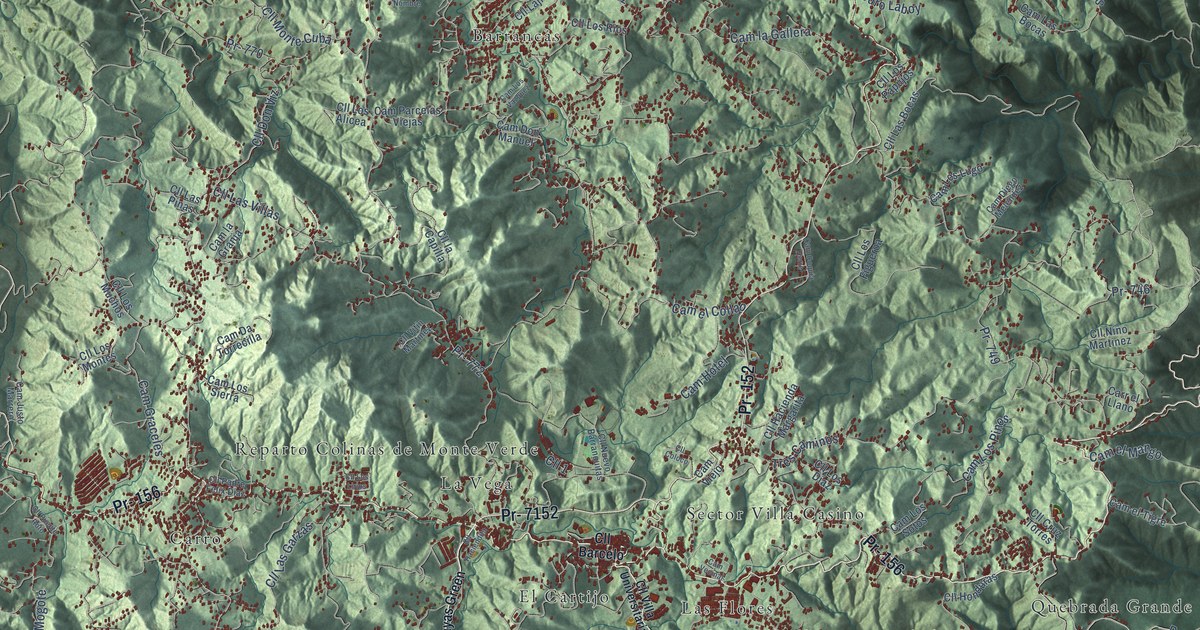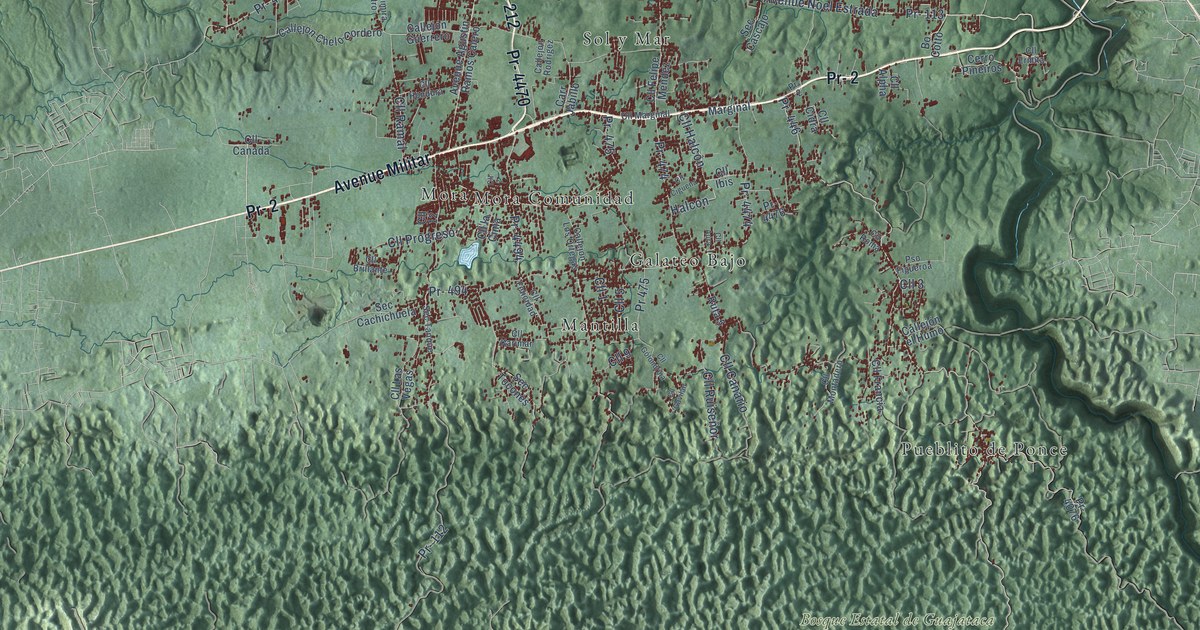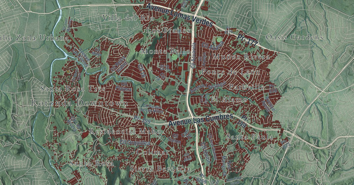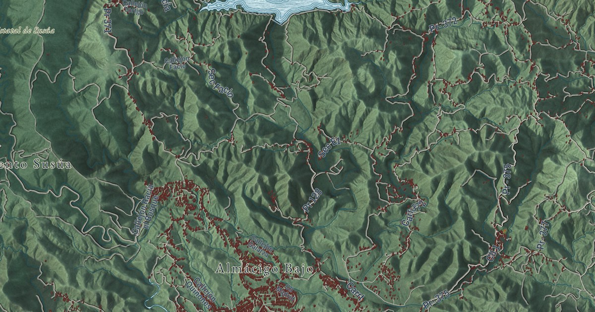
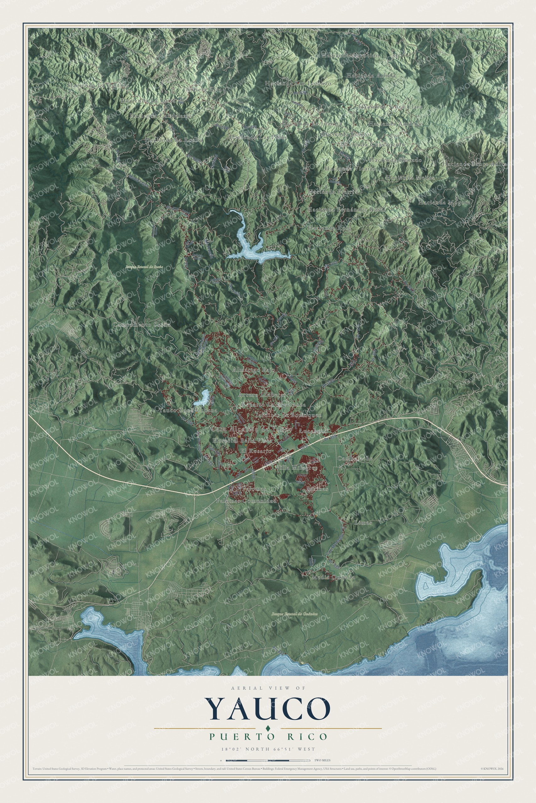
This beautifully detailed map of Yauco, Puerto Rico was created in 2026 using aerial imagery combined with modern topographical, census, street and landmark data. It's a modern aerial view of the municipio of Yauco, Puerto Rico, that combines modern data with a vintage aesthetic. The roads feature printed names, and if you look closely you can find your exact house accurately shown in its correct location.
Explore an aerial view of Yauco, Puerto Rico
On this map you'll find Casa Alcaldía de Yauco, Bosque Estatal de Guánica, Bosque Estatal de Susúa, Almácigo Bajo, Arturo Lluberas, Barinas, Cambalache, Campamento Susúa, El Rosario, Hacienda Américo, Hacienda Arbela, Hacienda Asunción, and more. Each red shape is a building, so zoom in on the preview and look for yours.
Every town has a first chapter, and Yauco is no exception. The 1940 WPA Guide to Puerto Rico puts it this way: "The city has always been the leading coffee trading center of Puerto Rico, and Yauco coffee is considered the best grown in the Island."
Yauco is one of the 78 municipios of Puerto Rico. The Census Bureau counted 34,172 people here in 2020.
Take a closer look at the Yauco map
Names on this map
These names are printed on this map.
Places: Casa Alcaldía de Yauco, Bosque Estatal de Guánica, Bosque Estatal de Susúa, Almácigo Bajo, Arturo Lluberas, Barinas, Cambalache, Campamento Susúa, El Rosario, Hacienda Américo, Hacienda Arbela, Hacienda Asunción, Hacienda Candelaria, Hacienda Concepción, Hacienda Fernández Rosal, Hacienda La Delfina, Hacienda La Juanita, Hacienda La Luisa, Hacienda La Rosita, Hacienda Las Piñas, Hacienda Leonor, Hacienda Mejias, Hacienda Mogote, Hacienda Pietri, Hacienda Pintado, Hacienda Roig, Hacienda San Lorenzo, Hacienda Santa Anita, Hacienda Santa Clara, Hacienda Vicario, Hospital Bella Vista, Indiera Alta, Jardines de Borinquen, Limas, Lucchetti, Media Quijada, Palomas, Palomas Comunidad, Reparto La Esperanza, Villa Milagros and Yauco Zona Urbana.
Streets and roads: Pr- 127, Pr- 359, Pr- 116, Cll 16, Pr- 371, Pr- 365, Monte Lejos, Pr- 375, Cll 1, Carr 372, Pr- 121, Pr- 333.
More street names, A to Z
Calle East, Callejón Facio, Callejón Galarza, Callejón Hacia el Bosque, Callejón Quiñones, Callejón Tortgo, Cam Monsegur, Carr 121, Carrt, Cll 2, Cll 3, Cll 5, Cll 6, Cll 10, Cll Andres Santiago, Cll Ficus, Cll Lima, Cll Madrid, Cll Ocean, Cll Pasarell, Cll Sin Salida, Cll Sky, Cll Zafiro, Corosas, La Jacana, Losa, Los Casiano, Palmas Gordas, Pr- 128, Pr- 326, Pr- 335, Pr- 366, Pr- 368, Pr- 372, Pr- 373, Pr- 374, Pr - 375, Pr- 377, Pr- 428, Pr- 3074, Pr- 3334, Pr- 3365, Pr- 3372, Pr- 3375, Pr 116, Pr 128, Pr 371, Pr 372, Santa Cruz, Sec Corosa, Sec E1, Sec Facio, Sec Francia, Sec Palmas Gordas, Sec Rio Loco, Sec Tortugo, Soliesas.
Created by KNOWOL in 2026. The buildings are small red shapes, the roads carry their printed names, and shaded relief shows the shape of the land. The title panel reads "AERIAL VIEW OF YAUCO, PUERTO RICO" with 18°02' NORTH 66°51' WEST.
Hang it in the hallway, the office or the cabin, or give it to someone who left Yauco and still calls it home. Open the preview and look for a street you know. See sizes and frames for the Yauco map.