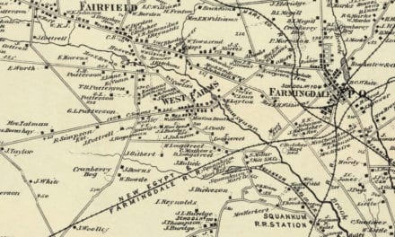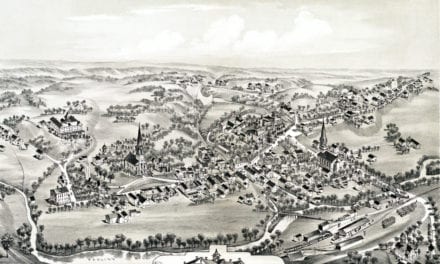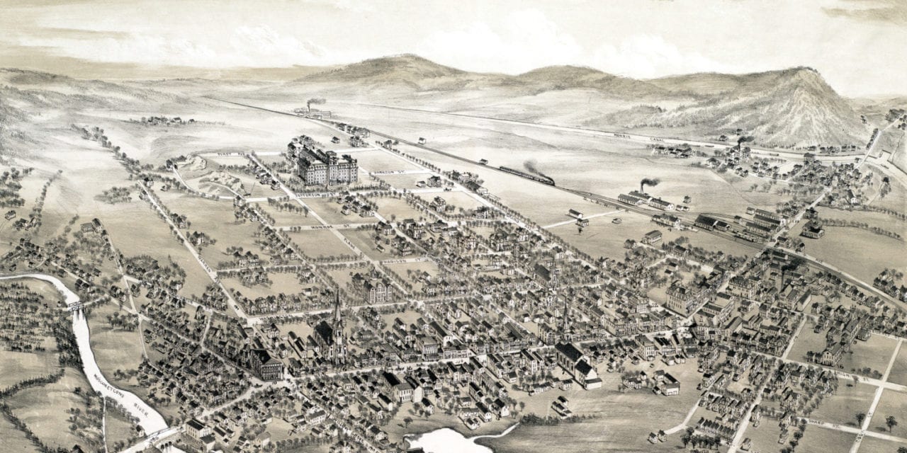
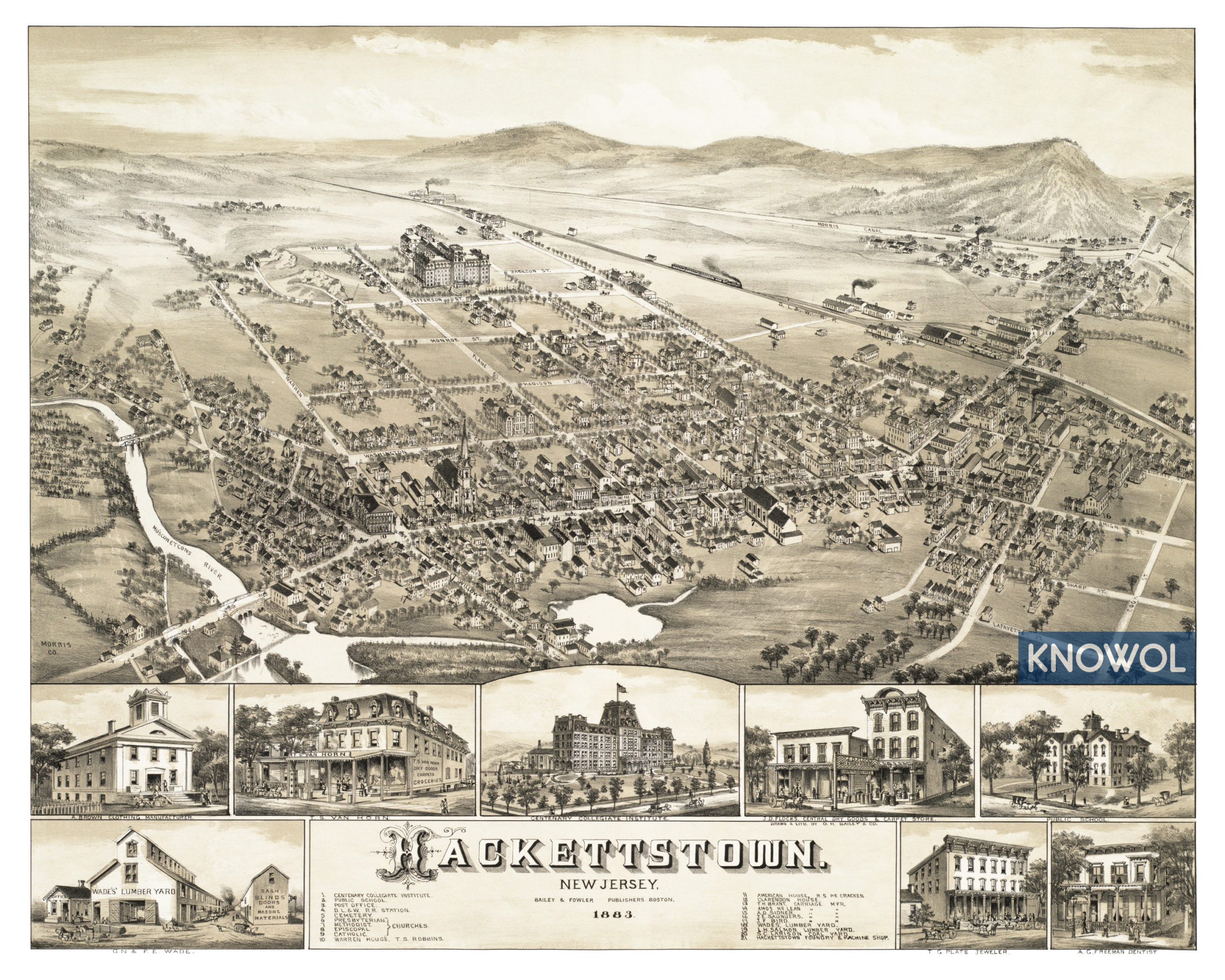
This historic old map of Hackettstown, New Jersey was created in 1883 by O.H. Bailey and T.M Fowler, prominent 19th century map makers. The map shows a bird’s eye view of Hackettstown as it used to be, including street names and old landmarks.
Hackettstown landmarks on the map include Centenary Collegiate Institute, Delaware, Lackawanna and Western Railroad Station, Warren House, American House, Brant Carriages, Wades Lumber Yard, Larison Coal Yard, the Hackettstown Foundry & Machine Shop, and more.
This historic map of Hackettstown, NJ was restored by KNOWOL. Reproductions of the map are available here.
Bird’s Eye View of Hackettstown, NJ in 1883
This old map of Hackettstown makes an attractive addition to your office, library, or den, and can even be used to teach children the geography and history of the area. When you’re done exploring, click here to get your copy.