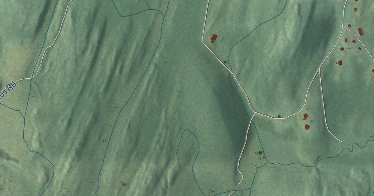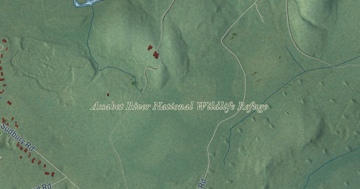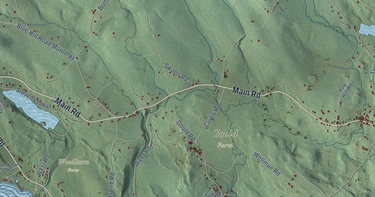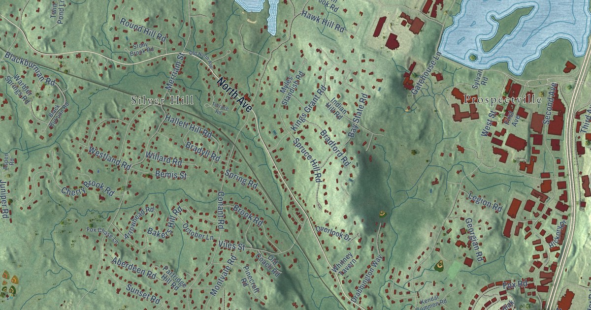
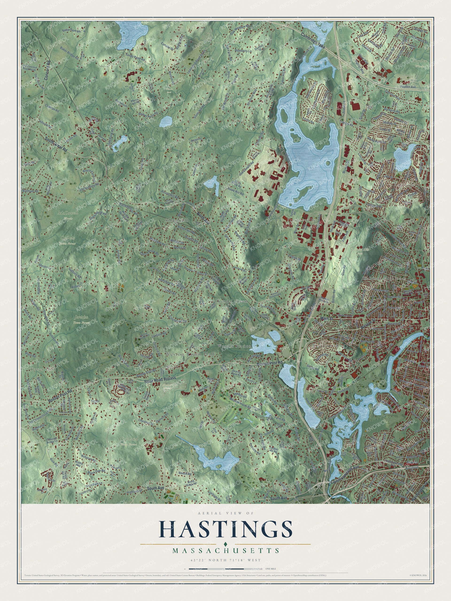
This beautifully detailed map of Hastings, Massachusetts was created in 2026 using aerial imagery combined with modern topographical, census, street and landmark data. It’s a one-of-a-kind view of Hastings that combines accurate data with a vintage aesthetic. The map shows every building in its true location, many of the roads carry their names, and the shaded topographic relief shows the shape of the land.
Explore an aerial view of Hastings, Massachusetts
On the map you’ll find Weston Town Hall, Tower Hill, Lakeview, Hayden Woods, Highland Town Forest, Jericho Town Forest, Linwood Cemetery, McDowell Woods, Ogilvie Town Forest, Pierce Park, Prospect Hill Park, Cedarwood, and more. If you look closely you can even find your house accurately drawn in its correct location. Zoom in on the preview to look for yours.
Take a closer look at the Hastings map
Names on this map
These names are printed on this map.
Places: Weston Town Hall, Tower Hill, Lakeview, Hayden Woods, Highland Town Forest, Jericho Town Forest, Linwood Cemetery, McDowell Woods, Ogilvie Town Forest, Pierce Park, Prospect Hill Park, Cedarwood, Silver Hill, Kendal Green, Prospectville, Weston, Weston Station, Waltham Highlands and Kendall Park.
Streets and roads: Boston Post Road, Weston Street, State Road Bypass, South Avenue, Commonwealth Avenue, Main Street, North Avenue, Concord Road, South Great Road, Cambridge Turnpike, Washington Street, Wyman Street.
More street names, A to Z
Aberdeen Road, Acorn Lane, Adams Avenue, Adams Street, Agrillo Circle, Albert Road, Alder Street, Alphabet Lane, Ames Street, Amherst Avenue, Angleside Road, Applecrest Road, Arrowhead Road, Ash Street, Aspen Road, Astra, Athletic Field Road, Atlas Lane, Auburndale Avenue, Auburn Street, Audubon Road, Autumn Lane, Autumn Road, Bacon Street, Baker Bridge Road, Baker Farm Road, Bakers Hill Road, Ballfield Road, Barberry Road, Bay State Road, Bear Hill Road, Beaver Pond Road, Beaver Street, Bedford Road, Bedford Street, Beech Road, Bemis Street, Berkley Street, Bigelow Road, Black Bear Drive, Blackburnian Road, Black Burnian Road, Black Oak Road, Blossom Lane, Blueberry Lane, Border Road, Boyce Farm Road, Bradford Road, Bradyll Road, Bridge Street, Bridle Path, Brook Road, Browning Lane, Buckskin Drive, Cabin Road, Canaan Drive, Candlewood Drive, Carroll Circle, Cart Path Road, Cary Avenue, Casey Circle, Caughey Street, Central Street, Chadwick Road, Charles River Road, Charles Street, Chaske Avenue, Cherry Brook Road, Chester Avenue, Chestnut Street, Church Street, Claridge Drive, Clark Lane, Coburn Road, Codman Road, Colchester Road, College Farm Road, Columbus Avenue, Common Street, Conant Road, Concord Avenue, Coolidge Road, Copeland Street, Country Drive, Covered Bridge Lane, Cove Street, Craig Lane, Crescent Street, Curtis Street, Curve Street, Cutler Farm Road, Cutters Bluff, Dale Street, Davison Drive, Decatur Lane, Deer Path Lane, Dellbrook Road, Derby Lane, Derby Street, Dobbins Street, Doublet Hill Road, Drabbington Way, Draper Road, East Cedar Road, Edgewater Drive, Emerson Road, Emery Street, Everett Street, Exchange Street, Fairbanks Road, Fairview Road, Farm Road, Felton Street, Fern Street, Field Road, Fields Pond Road, Fifth Avenue, Fir Avenue, First Avenue, Fiske Avenue, Fiske Street, Forester Road, Forest Grove Road, Forest Ridge Road, Fourth Avenue, Fox Chase Lane, Fox Hollow, Fox Road, Francis Street, Freeman Street, Galen Street, Gatehouse Lane, Georgian Road, Giles Road, Glen Circle, Glen Road, Glezen Lane, Golden Ball Road, Goldencrest Avenue, Gowell Lane, Grant Street, Granville Road, Grassland Street, Graymore Road, Green Lane, Greenridge Lane, Green Street, Greenwood Lane, Gregory Street, Grove Street, Guinan Street, Gypsy Trail, Hallett Hill Road, Hammond Street, Hancock Street, Hansen Road, Hardy Pond Road, Harland Road, Hawk Hill Road, Hayden Avenue, Hayfield Lane, Hays Road, Hibiscus Avenue, Hickory Drive, Hidden Road, Highfields, Highland Circle, Highland Meadows Lane, Highland Street, High Street, Hillcrest Road, Hillside Road, Hilltop Road, Hitching Post Lane, Hobbs Brook Road, Hope Avenue, Huckleberry Hill Road, Hudson Road, Indian Hill Road, Indian Road, Ionia Street, Irving Road, Irving Street, Islington Road, Jennings Road, Jericho Lane, Jericho Road, Jones Road, Joy Street, Juniper Road, Kendal Common Road, Kings Grant Road, Kingston Road, Kings Way, Kingswood Road, Kodiak Way, Lake Avenue, Lake Road, Lake Street, Lakeview Avenue, Larkin Road, Laurel Drive, Laurel Road, Laxfield Road, Legion Road, Leslie Road, Lexington Road South, Lexington Street, Lincoln Road, Lincoln Street, Lincoln Woods Road, Linwood Avenue, Livermore Lane, Long Meadow Road, Loretta Road, Loring Road, Love Lane, Lover Field Road, Lunda Street, Lura Lane, Mackintosh Lane, Magnolia Drive, Maple Road, Maple Street, Market Place Drive, Meadowbrook Road, Melody Lane, Melrose Street, Merriam Street, Middle Way, Midland Drive, Milton Street, Minebrook Road, Miriam Road, Mokema Avenue, Montclair Avenue, Montvale Road, Moody Street, Morton Street, Munroe Road, Myles Standish Road, Myrtle Avenue, Newell Road, Newton Street, Night Cap Lane, Nobscot Road, Norumbega Road, Nutting Road, Oak Meadow Road, October Lane, Old Coach Road, Old Conant Road, Old Concord Road, Old Concord Road North, Old Connecticut Path, Old County Road, Old Farm Road, Oldham Road, Old North Avenue, Old Road, Old South Street, Old Sudbury Road, Old Winter Street, Orange Street, Orris Street, Overland Road, Overlook Drive, Page Farm Road, Page Road, Park Road, Partridge Hill Road, Patriot Way, Peirce Hill Road, Pelham Road, Perry Lane, Pheasant Trail, Philips Terrace, Phinney Road, Pigeon Hill Road, Pine Brook Road, Pinecroft Road, Pine Hill Circle, Pine Street, Pine Vale Road, Plain Road, Plant Road, Plympton Street, Pond Street, Possum Road, Prentice Street, Prospect Hill Lane, Prospect Hill Road, Prospect Street, Red Rail Farm, Rice Road, Rich Street, Rich Valley Road, Ridge Lane, Ridge Road, Ripley Lane, River Path, River Road, River Street, Riverview Avenue, Robbins Street, Roberts Road, Robinhood Street, Robin Road, Rockridge Road, Rolling Lane, Rosemont Avenue, Round Hill Road, Rowe Street, Rumford Avenue, Russell Street, Sanderson Lane, Sandy Pond Road, Sawyer Road, School Street, Sears Road, Second Avenue, Seminole Avenue, Shade Street, Sheffield Road, Sherbourne Place, Shire Way, Sibley Road, Silver Hill Lane, Silver Hill Road, Skating Pond Road, Smith Street, South Brook Road, South Street, Spring Road, Spring Street, Spruce Hill Road, Spruce Street, Standish Road, Star Road, Stearns Hill Road, Stonehedge Road, Stony Brook Road, Storey Drive, Stow Street, Stratford Way, Sudbury Road, Summer Street, Sunday Woods Road, Sunset Road, Sun Street, Sutton Place, Sylvan Road, Sylvan Way, Tabor Hill Road, Tavern Road, Taylor Street, Terrace Road, Third Avenue, Thornton Road, Todd Pond Road, Totten Pond Road, Tower Road, Tracer Lane, Trailside Road, Trapelo Road, Tudor Street, Tufts Road, Turkey Hill Road, Turner Street, Twin Pond Lane, Upland Field Road, Vernon Street, Viles Street, Village Road, Villa Street, Vista Avenue, Walnut Street, Waltham Road, Warbler Springs Road, Ware Road, Ware Street, Warren Avenue, Warren Place, Washington Avenue, Water Street, Webster Lane, Webster Street, Weir Road, Wellesley Street, Wells Road, Westerly Road, Westland Road, Weston Road, West Pine Street, West Street, Westway Road, Wheelock Road, Whispering Lane, Whitehouse Lane, White Road, Whitlowe Road, Whitney Tavern, Whittier Avenue, Wildflower Lane, Willard Road, Williston Road, Willow Road, Windermere Road, Wingate Road, Winsor Way, Winston Road, Winter Street, Winthrop Street, Woerd Avenue, Wolcott Street, Woodbine Street, Woodcliffe Road, Woodland Road, Wood Ridge Road, Worcester Lane, Young Road.
See it on a wall
The Hastings map as a framed print. Swipe for more.


This beautifully detailed map of Hastings makes an attractive addition to your office, library, or den, and it can even be used to teach children the geography and history of the area. It also makes a great gift for anyone who grew up in Hastings or moved away. When you’re done exploring, click here to get your copy of the Hastings map.