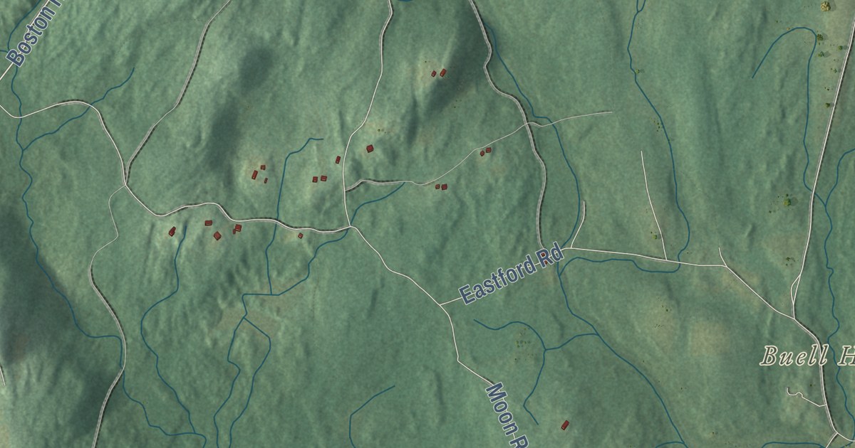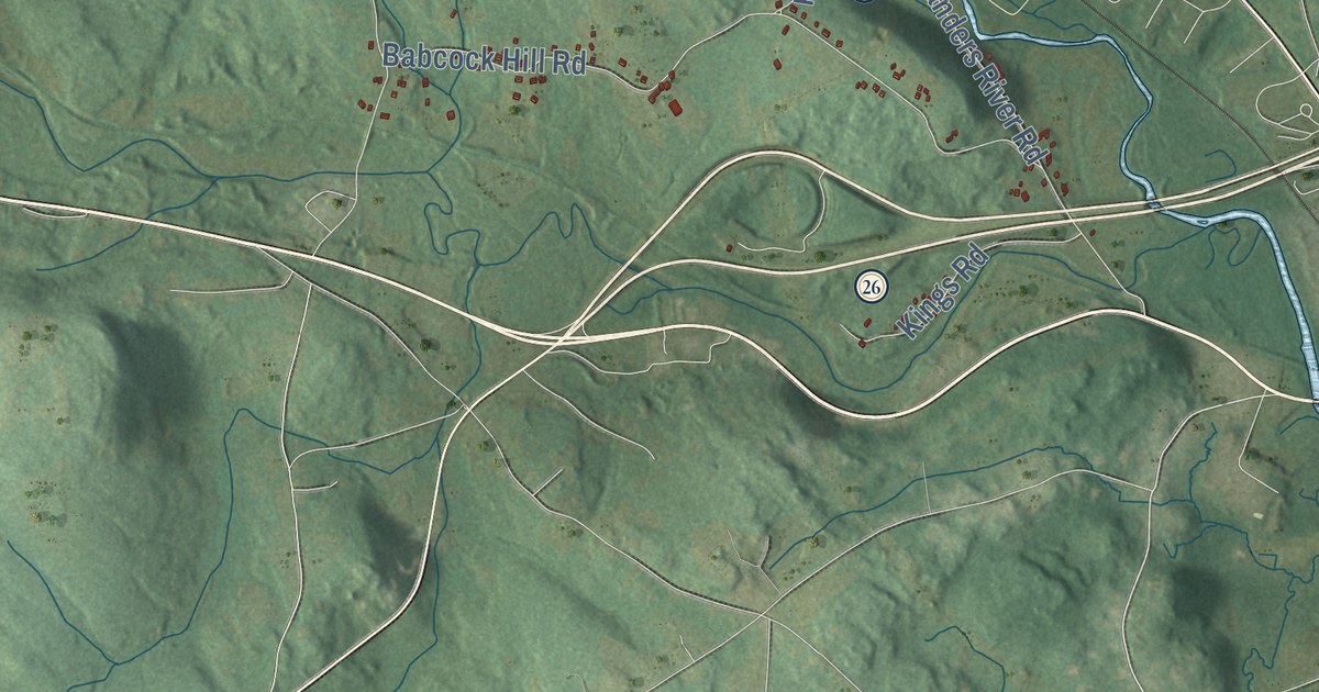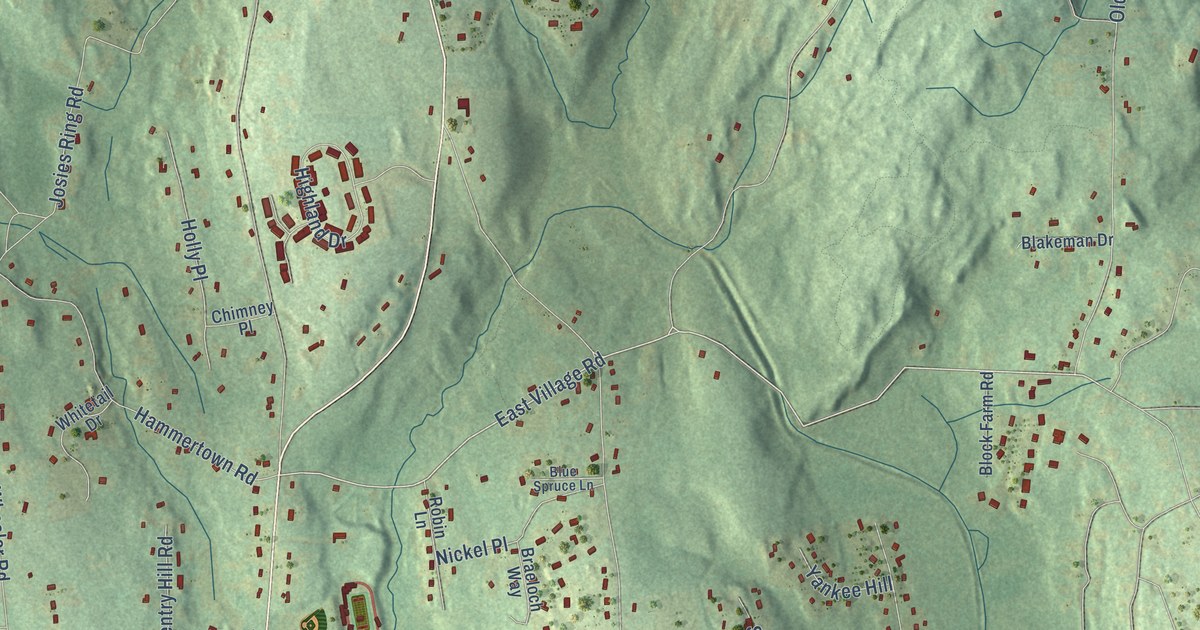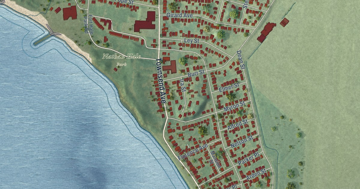
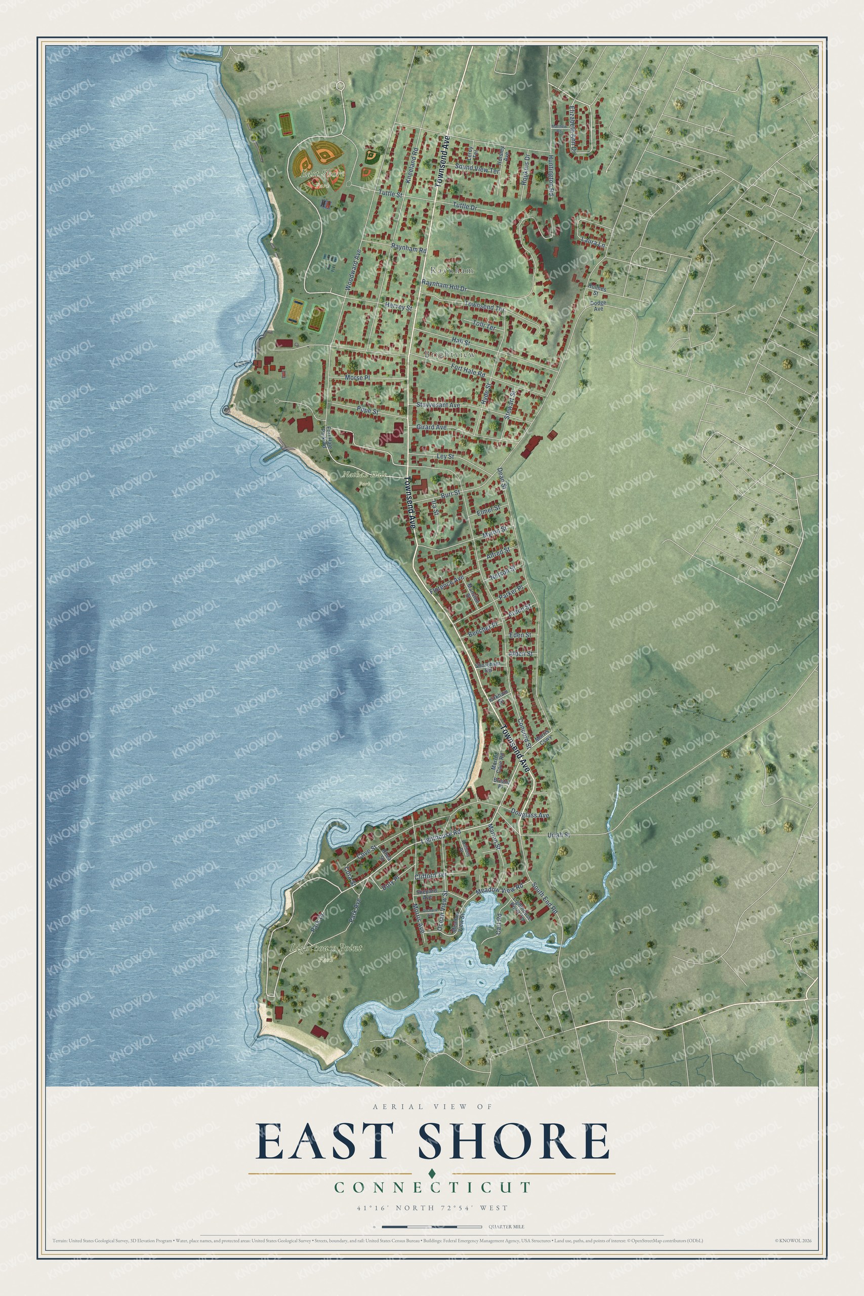
This beautifully detailed map of East Shore, Connecticut was created in 2026 using aerial imagery combined with modern topographical, census, street and landmark data. It’s a one-of-a-kind view of East Shore that combines accurate data with a vintage aesthetic. The map shows every building in its true location, many of the roads carry their names, and the shaded topographic relief shows the shape of the land.
Explore an aerial view of East Shore, Connecticut
On the map you’ll find Raynham, Brightview, East Shore Park, Lighthouse Point Park, Nathan Hale Park, and Doty Place, along with Townsend Avenue, Lighthouse Road, Elizabeth Ann Drive, Woodward Avenue, Burr Street, Concord Street, and more. If you look closely you can even find your house accurately drawn in its correct location. Zoom in on the preview to look for yours.
Take a closer look at the East Shore map
Names on this map
These names are printed on this map.
Places: Raynham, Brightview, East Shore Park, Lighthouse Point Park and Nathan Hale Park.
Streets and roads: Townsend Avenue, Lighthouse Road, Elizabeth Ann Drive, Doty Place, Woodward Avenue, Burr Street, Concord Street, Dean Street, Raynham Hill Drive, Kneeland Road, Fort Hale Road, Cove Street.
More street names, A to Z
Alden Street, Alfred Street, Anthony Drive, Arden Street, Beecher Place, Bristol Place, Cart Road, Clifford Terrace, Cora Street, Dodge Avenue, Douglass Avenue, Eden Street, Elmer Street, Florence Avenue, Fort Hale Park Road, Girard Avenue, Hall Street, Hervey Street, Holmes Street, Hopkins Drive, Horsley Avenue, Huntington Road, Hyde Street, Ira Street, Kirkham Street, Laura Lane, Leroy Terrace, Ley Street, Lighthouse Point Terrace, Mansion Street, Marion Street, Matthew Road, Meadow View Road, Meadow View Street, Morris Avenue, Morris Causeway, Morris Cove Road, Morse Place, Myron Street, Nelson Street, Ocean View Street, Orchard Avenue, Park Avenue, Park Drive, Parker Place, Pope Street, Raynham Road, Rhea Street, Shepard Avenue, Shoreham Road, Sound View Terrace, South End Road, Stewart Street, Stuyvesant Avenue, Tolli Terrace, Townsend Terrace, Tuttle Drive, Tuttle Street, Uriah Street.
See it on a wall
The East Shore map as a framed print. Swipe for more.


This beautifully detailed map of East Shore makes an attractive addition to your office, library, or den, and it can even be used to teach children the geography and history of the area. It also makes a great gift for anyone with East Shore roots. When you’re done exploring, click here to get your copy of the East Shore map.