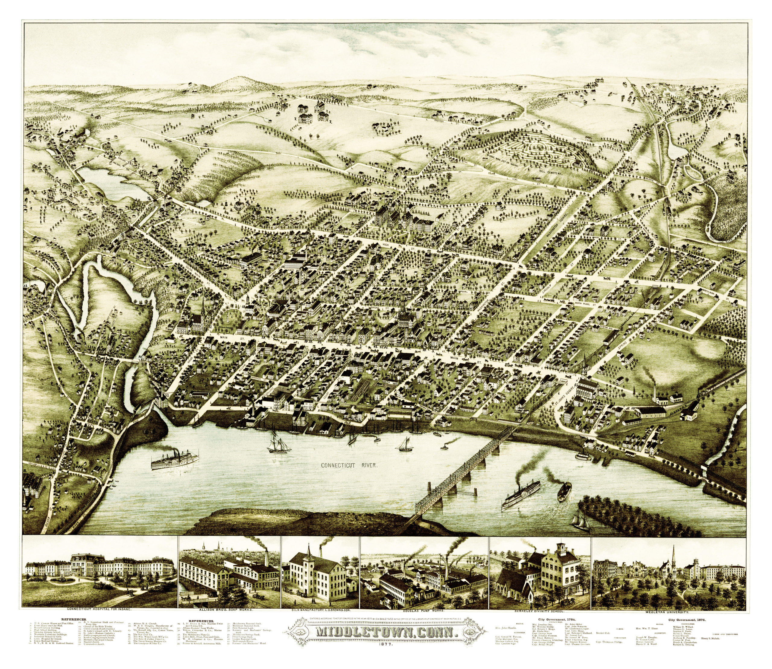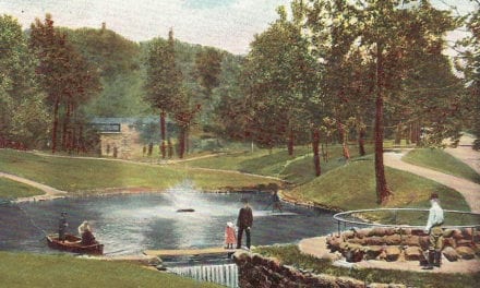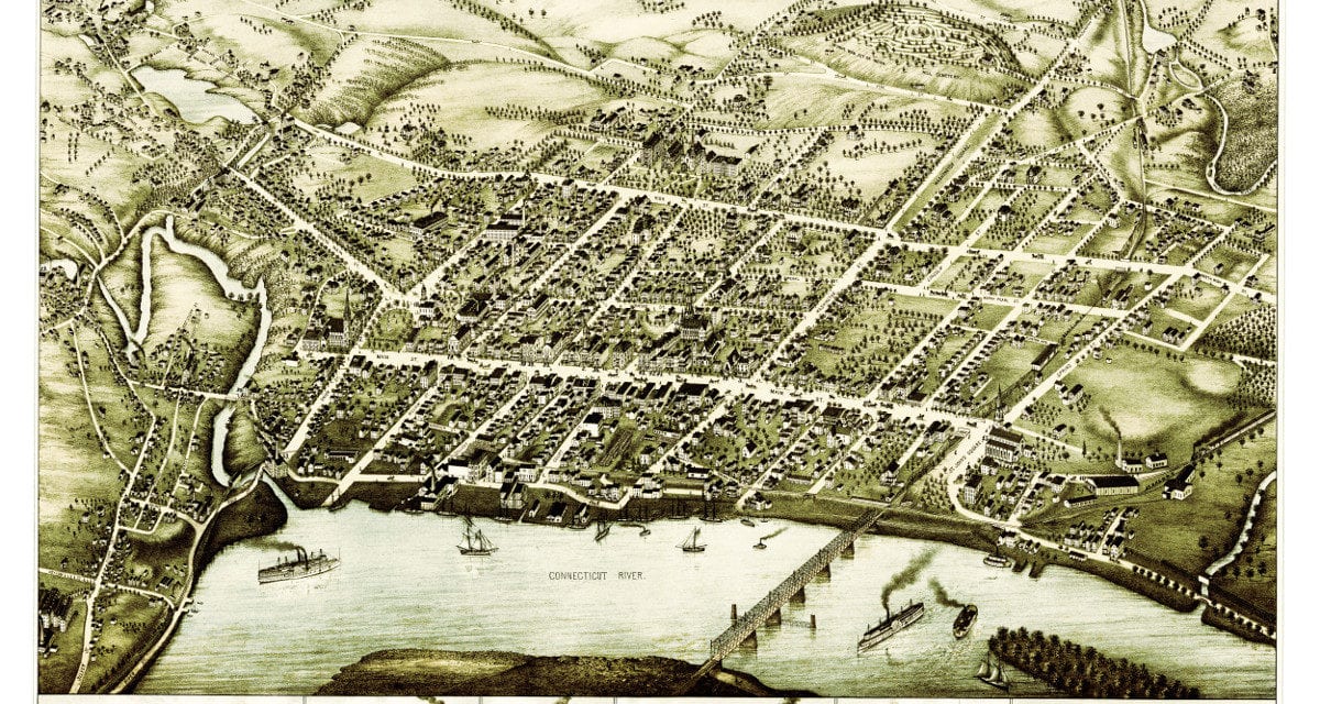
This beautiful vintage map shows Middletown, Connecticut as it looked in 1877. At the time approximately 7,000 people lived in Middletown and manufacturing was the mainstay of the city’s economy.
The map highlights Middletown landmarks such as Wesleyan University, Connecticut Hospital for the Insane, Berkeley Divinity School, Union Railroad Station and the Portland Ferry. The map was created by O.H. Bailey & Co. and restored by KNOWOL. Reproductions are available here.
Click here to see a high resolution scan of the map.