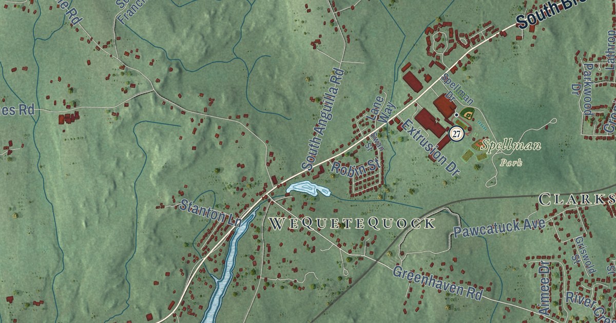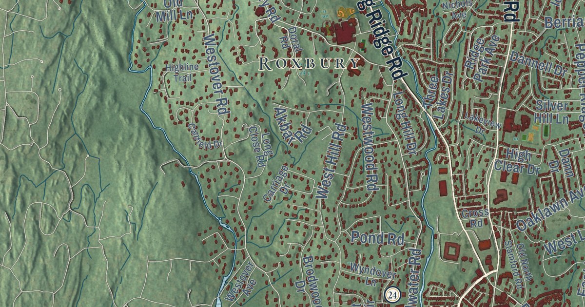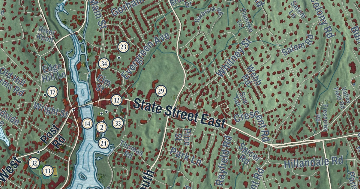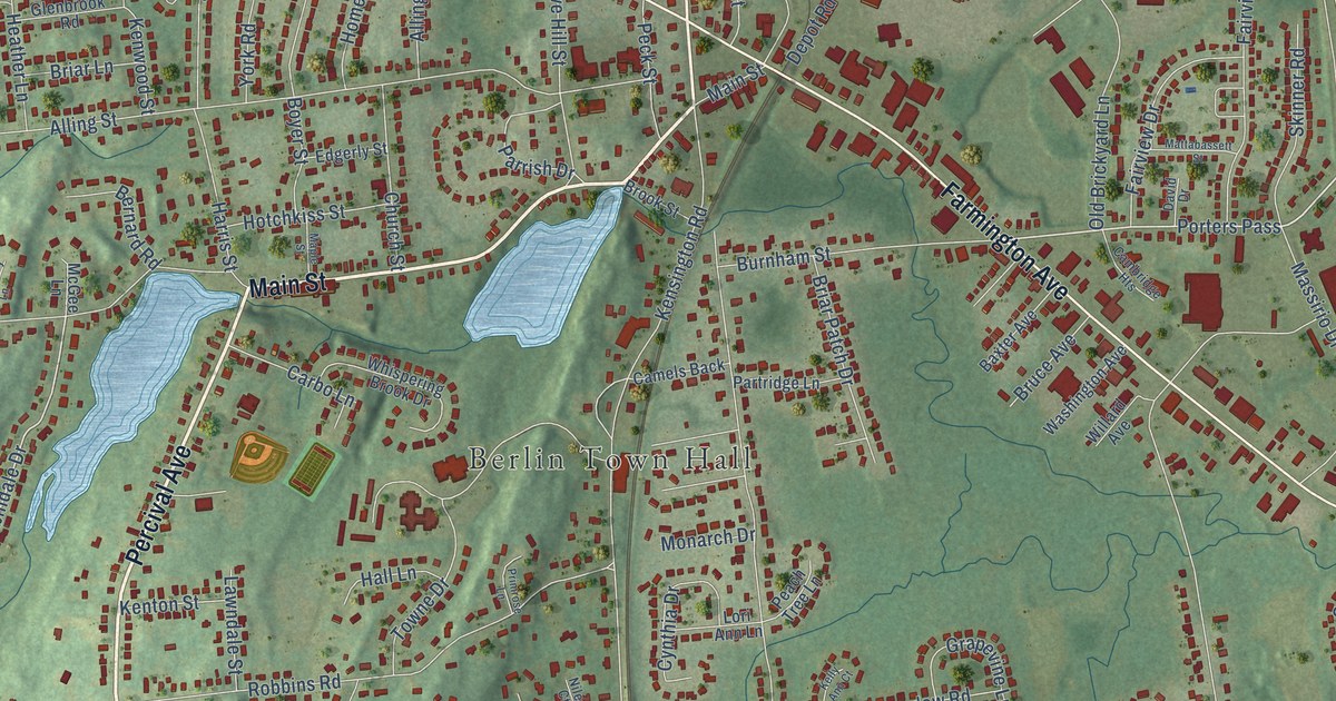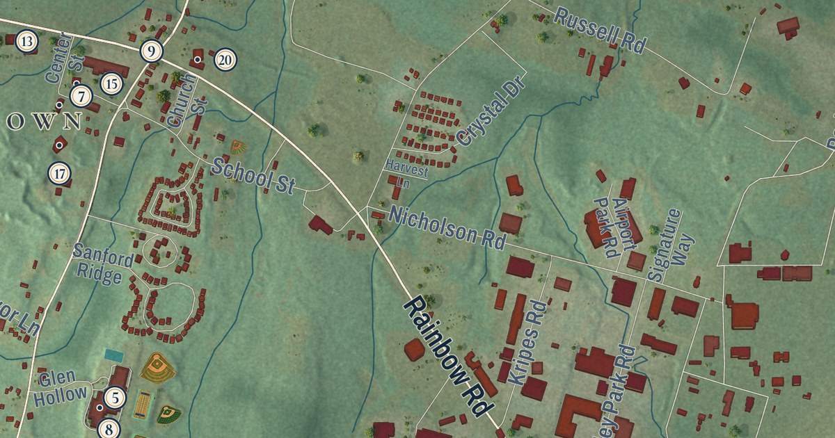
This beautifully detailed map of East Granby, Connecticut was created in 2026 using aerial imagery combined with modern topographical, census, street and landmark data. It’s a one-of-a-kind view of East Granby that combines accurate data with a vintage aesthetic. The map shows every building in its true location, many of the roads carry their names, and the shaded topographic relief shows the shape of the land.
See it on a wall
The East Granby map as an 18 x 24 inch print in a black frame.

Explore an aerial view of East Granby, Connecticut
On the map you’ll find Downtown, Spoonville, Duncaster Hill, Hatchett Hill, Holcomb Island, Laurel Hill, Griffin Pond, Lake Basile, Cowles Park, Carroll Corners, Granbrook Park, Floydville, and more. If you look closely you can even find your house accurately drawn in its correct location. Zoom in on the preview to look for yours. Click here to learn more about the history of East Granby.
Take a closer look at the East Granby map
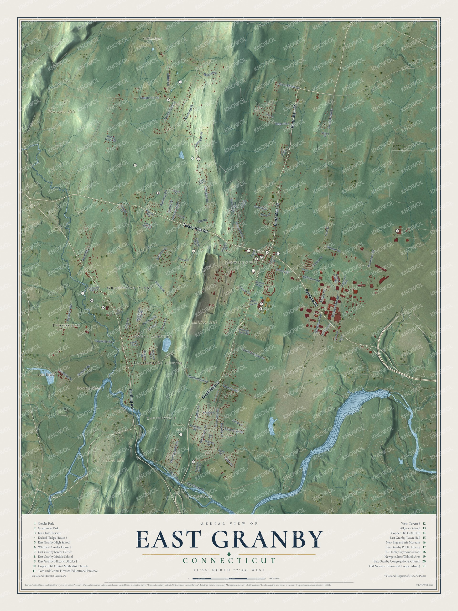
Click to explore a larger preview. The digital watermark does not appear on printed maps.
Names on this map
These names are printed on this map.
Places: Downtown, Spoonville, Duncaster Hill, Hatchett Hill, Holcomb Island, Laurel Hill, Griffin Pond, Lake Basile, Cowles Park, Carroll Corners, Granbrook Park, Floydville, Tariffville and Tariffville Center.
Streets and roads: Turkey Hills Road, North Main Street, South Main Street, Hartford Avenue, Rainbow Road, South Grand Street, Nicholson Road, Newgate Road, Holcomb Street, Spoonville Road, Hatchett Hill Road, Trevor Lane.
More street names, A to Z
Airport Park Road, Alderman Lane, Aspen Rise, Austin Brook Drive, Bradley Park Road, Brentwood, Brighton Drive, Carriage Lane, Center Street, Chrismis Tree Lane, Church Street, Concord Drive, Coppergate Road, Copper Hill Road, Country Club Lane, Crystal Drive, Eastfield Farms Drive, East Street, Ezekiel Way, Floydville Road, Glen Hollow, Granbrook Park Road, Granger Circle, Griffin Road, Hamilton Road, Harvest Lane, Hatchett Hill Lane, Hazelwood Road, Heather Lane, Heritage Farm Road, High Farm Road, Hillcrest Road, Horseshoe Drive, Huckleberry Drive, International Drive, Jefferson Drive, Kimberly Road, Kirkstone, Kripes Road, Larch Drive, Lexington Drive, Lordship Road, Maize Lane, Melody Lane, Metacomet Drive, Miller Road, North Road, Nutmeg Road, Old Church Road, Old County Highway, Old County Road, Old Farms Lane, Old Road, Peak Mountain Drive, Perimeter Road, Pond Lane, Railroad Avenue, Ridge Boulevard, Rolling Green Road, Russell Road, Saddle Drive, Sage Lane, Sanford Ridge, School Street, Seneca Drive, Seymour Road, Signature Way, Stark Drive, Surrey Drive, Sutton Place, Sweetbriar Road, Talcott Range Drive, Tunbridge Road, Tunxis Avenue, Valley View Drive, Walnut Drive, Washington Ridge Road, Waverly Way, Wolcott Road, Woodledge Drive, Wyncairne, Wynding Hills Road.
This beautifully detailed map of East Granby makes an attractive addition to your office, library, or den, and it can even be used to teach children the geography and history of the area. It also makes a great gift for anyone who grew up in East Granby or moved away. When you’re done exploring, click here to get your copy of the East Granby map.