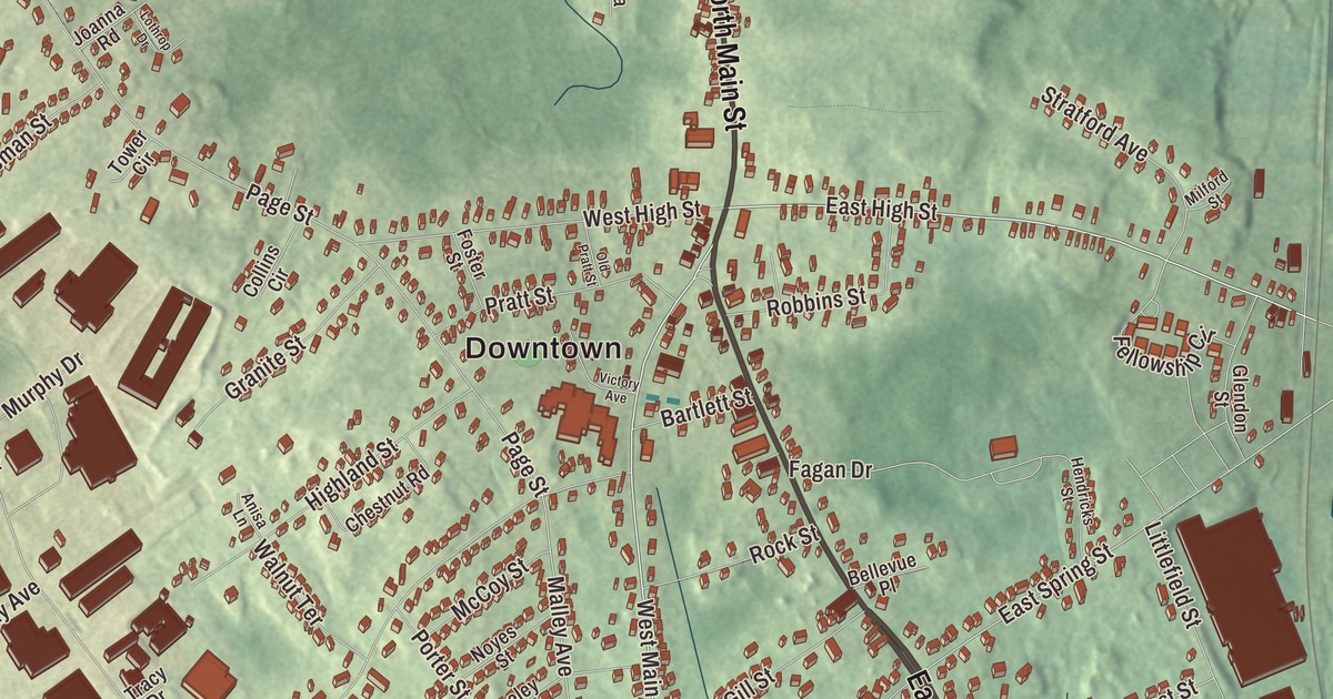
Avon is small enough to know by heart: 4.6 square miles, with the industrial park out by Route 24 and the woods and water of D.W. Field Park along the Brockton line. This map prints East Main Street, North Main Street, West Main Street, East High Street, Memorial Drive and Harrison Boulevard, with the Brockton Reservoir, Waldo Lake, Upper Porter Pond, Lake Holbrook and D W Field Park. Click here to purchase a print of this map for your wall.
Avon is in Norfolk County, 17 miles south of Boston, with Brockton on its southern border.
KNOWOL made this map in 2026 from public survey data, laid out to look like a page from an old atlas. The relief shading comes from United States Geological Survey elevation data, and the streets and the town line come from the Census Bureau. Avon had 4,777 people at the 2020 census, with Stoughton to the west, Randolph to the northeast and Holbrook to the east.
Curtis Corners
The first settler on the land that became Avon was Moses Curtis, a blacksmith from Braintree, around 1720. Most of his surviving children settled close by, and by 1749 the neighborhood was called Curtis Corners. The Town of Avon’s recorded history gives an earlier date: the Secretary of the Commonwealth’s list puts European settlement at 1700. Before 1888 this was part of Stoughton, and the Third Baptist Meeting House went up in East Stoughton on March 30, 1848. After a petition to the Massachusetts House and Senate, Avon was separated from Stoughton and incorporated as a town on February 21, 1888. It was named after Stratford-upon-Avon in England, and the town seal carries a portrait of William Shakespeare, who was born there. The town remains part of Norfolk County today.
The industrial park
About 23% of its land is used for industry or business, and the Avon Industrial Park, near Route 24, takes up about 500 acres, with 127 firms employing over 3,600 people. One building on Parker Drive, 109,000 square feet, handles distribution for companies such as HelloFresh. In August 2025 Avon received the Government Finance Officers Association’s Distinguished Budget Presentation Award for its financial management.
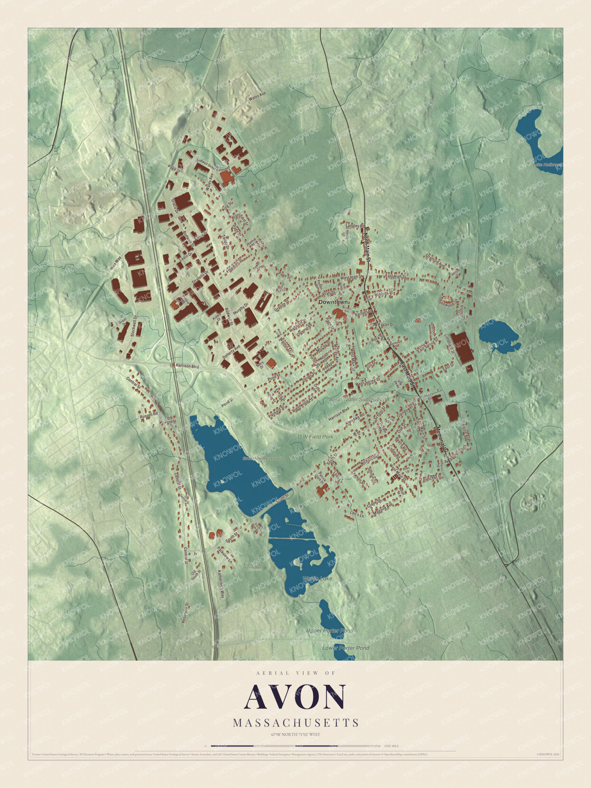
Click to explore a larger preview. The digital watermark does not appear on printed maps.
Names on this map
These names are printed on this map.
Places: Downtown, Brockton Reservoir, Lake Holbrook, Waldo Lake, Upper Porter Pond, Lower Porter Pond, D W Field Park, Avon Water Supply Land and Fieldstone Preserve.
Streets and roads: East Main Street, North Main Street, Memorial Drive, West Main Street, East High Street, Harrison Boulevard, Reservoir Street, Central Street, East Spring Street, Malley Avenue, Bodwell Street, Page Street.
More street names, A to Z
Anisa Lane, Argyle Avenue, Ballum Road, Bartlett Street, Beech Road, Bellevue Place, Blanchard Street, Bodwell Street Extended, Bows Lane, Brentwood Avenue, Cedar Road, Chestnut Road, Collins Circle, Connolly Road, Crane Street, Cross Street, Doherty Avenue, East Street, Ekberg Street, Fagan Drive, Feeley Street, Fellowship Circle, Fletcher Street, Foster Street, Freeman Street, Gill Street, Glendon Street, Glendower Street, Granite Street, Grant Drive, Hendricks Street, Highland Street, Ikea Way, Joanna Road, Johnson Road, Juniper Road, Katherine's Way, Kempton Avenue, Kiddie Drive, King Street, Klondike Road, Ladge Drive, Langley Road, Lawson Street, Ledin Drive, Leo's Lane, Leos Lane, Littlefield Street, Lothrop Drive, Maguire Avenue, McCoy Street, Milford Street, Murphy Drive, Nichols Avenue, Nolan Street, Noyes Street, Oak Street, Old Central Street, Old Pond Street, Old Pratt Street, Old South Street, Oliver Street, Packard Street, Parker Drive, Parkview Lane, Patrick Clark Drive, Pine Court, Pond Street, Porter Street, Pratt Street, Robbie Road, Robbins Street, Rock Street, Russell Road, School Street, South Park Drive, South Street, Stockwell Drive, Strafello Drive, Stratford Avenue, Teddy Drive, Tower Circle, Tracy Drive, Uraco Drive, Verna Lane, Vfw Parkway, Victory Avenue, Wales Avenue, Walnut Terrace, Weir Terrace, West High Street, West Spring Street.
See it on a wall
The Avon map as a framed print. Swipe for more.


D.W. Field Park and the water
The water in the south of town belongs to D.W. Field Park, a 650-acre park run by the city of Brockton that reaches from northern Brockton into southern Avon. Brockton businessman Daniel W. Field left it as a bequest in 1925. A chain of seven ponds and lakes on Beaver Brook shapes the park, and all but one are man-made; most were made long before the park for farms or industry, the oldest in the 1790s. The Brockton city page places Waldo Lake and the Brockton Reservoir in Avon. Waldo Lake was built in the 1930s as part of the park’s design, and the reservoir’s gatehouse dates to the 1880s. A narrow road about 6 miles long winds through the grounds, with gates of local fieldstone. On the park’s high point, Tower Hill, a fieldstone observation tower built in 1928 has 90 steps up to a deck that looks out as far as the Blue Hills; it opens once a year for Towerfest in early October. At the foot of the hill, Daniel Field’s handprints and footprints are set in concrete with the words “Please Enjoy, Do Not Destroy D.W. Field Park.” The park has an eighteen-hole golf course, and it was listed on the National Register of Historic Places in 2000.
Upper Porter Pond and Lake Holbrook are printed on the map as well. From the center, follow East Main Street, North Main Street, West Main Street, East High Street, Memorial Drive and Harrison Boulevard across town.
An Avon map makes a good addition to an office, library or den, and it can help teach children the geography and history of the town named for Shakespeare’s birthplace. It’s made for people who call Avon home, and it shows the town as it looks today. Zoom in on the preview above to explore the details, then click here to get your copy of the Avon, Massachusetts map.

Sources