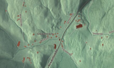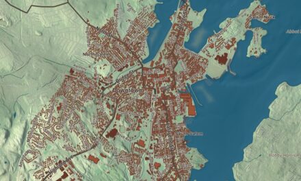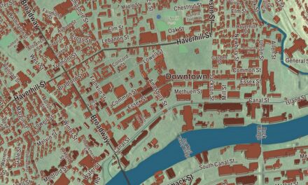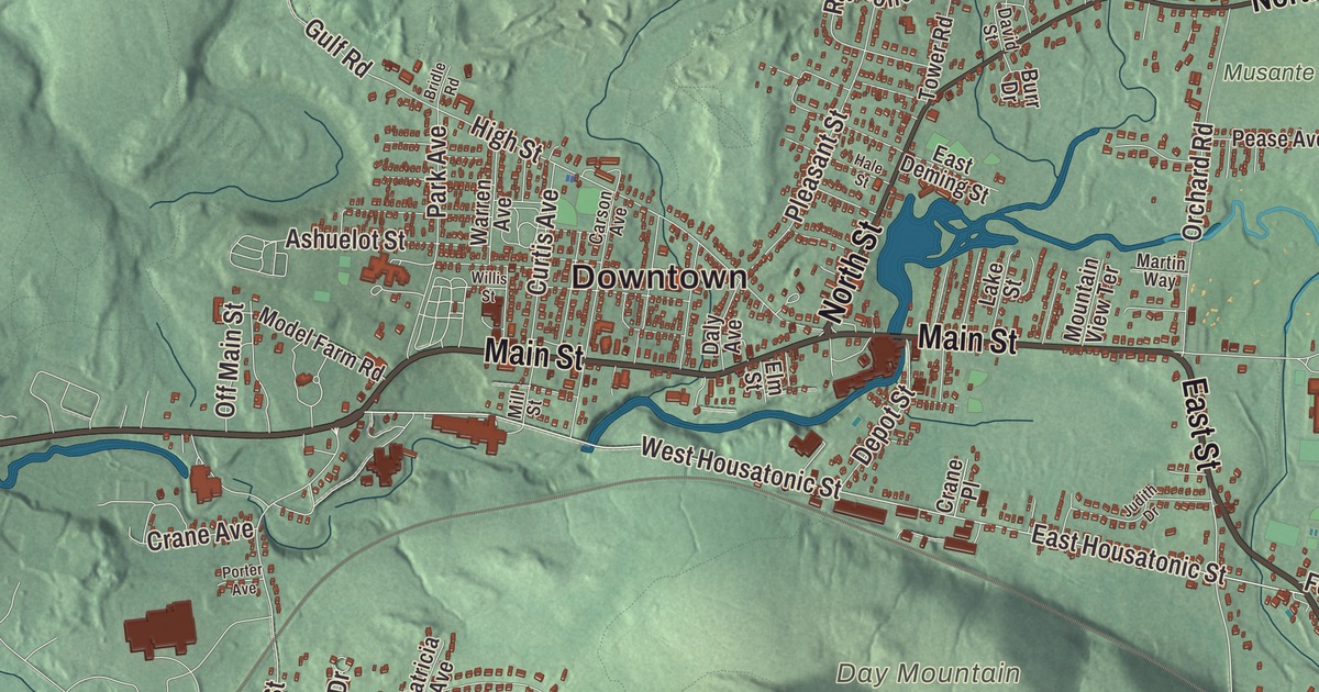
Dalton is the paper town of the Berkshires, built along the East Branch of the Housatonic River, where the mills of Crane and Company have made the paper for America’s money. This map prints Main Street, North Street, East Street, Hinsdale Road, West Housatonic Street and East Housatonic Street, with the Appalachian Trail Corridor, Anthony Pond, the Cleveland Brook Reservoir, Barrett Hill, Day Mountain and Green Ridge Park. Click here to purchase a print of this map for your wall.
Dalton is in Berkshire County, 5 miles northeast of downtown Pittsfield.
KNOWOL made this map in 2026 from public survey data and gave it the look of an old atlas. The relief comes from United States Geological Survey elevation data, and the streets and the town line come from the Census Bureau. Dalton covers 21.9 square miles, with Cheshire to the north and northwest, Windsor to the northeast, Hinsdale to the east, Washington to the south, and Pittsfield and Lanesborough to the west. The town had 6,330 people at the 2020 census.
Named for the Speaker
The Town of Dalton’s recorded history, in the Secretary of the Commonwealth’s list, dates European settlement to 1755, on what had been Equivalent Lands. Dalton was incorporated as a town in 1784 and named for Tristram Dalton, then Speaker of the Massachusetts House of Representatives, who later served as one of the first United States senators. The town remains part of Berkshire County today. From the start it was a rural mill town, with mills along the East Branch of the Housatonic and small patches of farmland elsewhere, and for many years trolleys ran from here to Pittsfield.
Crane and Company
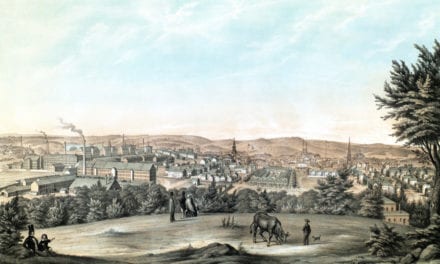
Zenas Crane had learned papermaking at his brother Stephen’s mill in Newton Lower Falls, and in 1799 he came west into Berkshire County looking for a mill site. In 1801 he, Henry Wiswall and John Willard started a paper mill on the river at Dalton, the first paper mill in the United States west of the Connecticut River, and by 1844 it was making paper for banknotes, bought by banks as far away as Boston. That same year the company worked out a way to set parallel silk threads into banknote paper to mark each note’s value and foil counterfeiters. Zenas’s sons founded Crane and Company and built the Stone Mill, and his grandson Winthrop Murray Crane won the contract to supply the paper for the nation’s currency in the late 1870s. To fill those orders the company built four new mills designed by David H. Tower, a Dalton native. The town’s page says Crane is the only supplier of paper for Federal Reserve Notes, the United States’ paper money, and still the largest employer in town.
The Rag Room of the Old Stone Mill, built in 1844 and the only part of that mill still standing, has housed the Crane Museum of Papermaking since 1930 and became a National Historic Landmark in 1983. A visit to the mill in January 1851 inspired Herman Melville’s short story “The Paradise of Bachelors and the Tartarus of Maids.” The Cranesville Historic District around it includes Zenas Crane’s 1816 home.
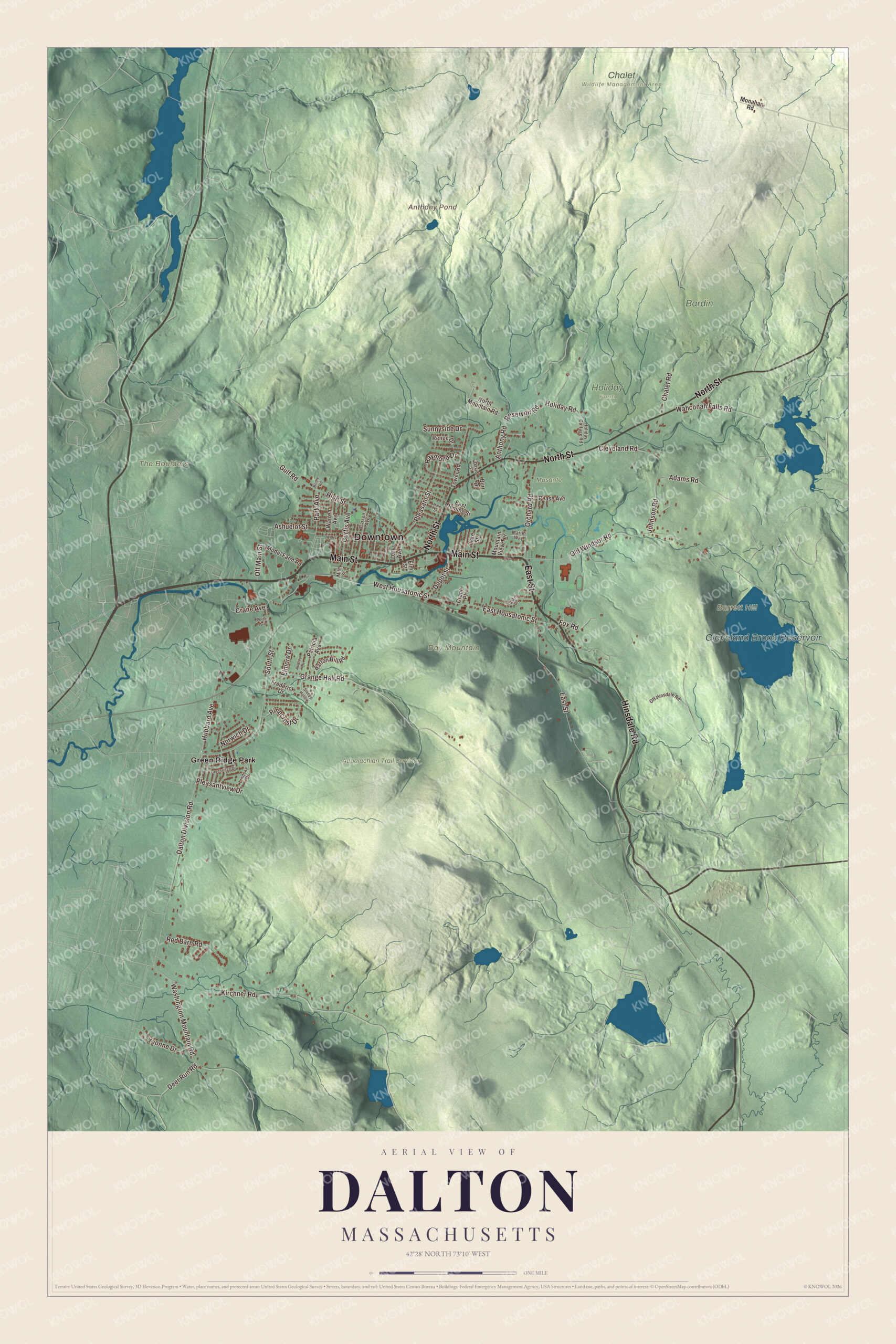
Click to explore a larger preview. The digital watermark does not appear on printed maps.
Names on this map
These names are printed on this map.
Places: Downtown, Barrett Hill, Day Mountain, The Boulders, Anthony Pond, Cleveland Brook Reservoir, Appalachian Trail Corridor, Bardin, Chalet Wildlife Management Area, Holiday Farm, Musante and Green Ridge Park.
Streets and roads: Main Street, Hinsdale Road, East Street, North Street, West Housatonic Street, East Housatonic Street, Dalton Division Road, South Street, Washington Mountain Road, High Street, Kirchner Road, Grange Hall Road.
More street names, A to Z
Adams Road, Anthony Road, Ashuelot Street, Audrey Drive, Barton Hill Road, Bridle Road, Burr Drive, Carson Avenue, Chalet Road, Cleveland Road, Crane Avenue, Crane Place, Curtis Avenue, Daly Avenue, David Street, Deer Run Road, Depot Street, East Deming Street, Elmore Drive, Elm Street, Fox Road, Frederick Drive, Greenridge Drive, Gulf Road, Hale Street, Holiday Cottage Road, Holiday Road, Hubbard Avenue, Johnson Road, Judith Drive, Lake Street, Lindsay Drive, Martin Way, Mill Street, Model Farm Road, Monahan Road, Mountain View Terrace, North Mountain Road, Norwich Drive, Off Hinsdale Road, Off Main Street, Old Windsor Road, Orchard Road, Park Avenue, Patricia Avenue, Pease Avenue, Pinecrest Drive, Pleasant Street, Pleasantview Drive, Porter Avenue, Raymond Drive, Red Barn Road, Renee Drive, Reservoir Road, Sleepy Hollow, Sunnyside Drive, Tower Road, Wahconah Falls Road, Warren Avenue, Willis Street, Yvonne Drive.
See it on a wall
The Dalton map as a framed print. Swipe for more.


The trail through town
The Appalachian Trail runs right through Dalton, passing between Tully Mountain and North Mountain and through the downtown area. Most of the town’s people live in the valley of the East Branch, where the mills were, and the Berkshire hills take up much of the rest: the north is a plateau between North Mountain and Western Mountain, covered by the Dalton Wildlife Management Area, and the south is dominated by Tully Mountain, whose summit is just over the line in Hinsdale. Wahconah Falls Brook drops four times over a ledge of Becket gneiss at Wahconah Falls State Park, where people hike, fish, picnic and wade. In 1973 Dalton hosted the International Six Days Enduro, the motorcycle competition sometimes called “The Olympics of Motorcycling.”
Around the map
Start with Green Ridge Park, then follow Main Street, Hinsdale Road, East Street, North Street, West Housatonic Street and East Housatonic Street across town. The public library stands next to the town hall. Dalton’s notable people include the baseball executive Dan Duquette, the pitchers Jeff Reardon and Turk Wendell, the librarian Mary Cutler Fairchild and the law professor Mary Ann Glendon, United States Ambassador to the Holy See. Anthony Pond, the Cleveland Brook Reservoir, the Appalachian Trail Corridor, Barrett Hill and Day Mountain are all printed on the map.
Dalton’s map makes a fine addition to an office, library or den, and it can help teach children the geography and history of the town that makes the paper in their wallets. It’s made for people who call Dalton home, and it shows the town as it looks today. Zoom in on the preview above to explore the details, then click here to get your copy of the Dalton, Massachusetts map.

Sources