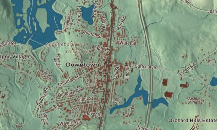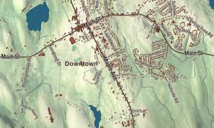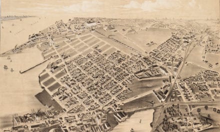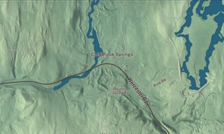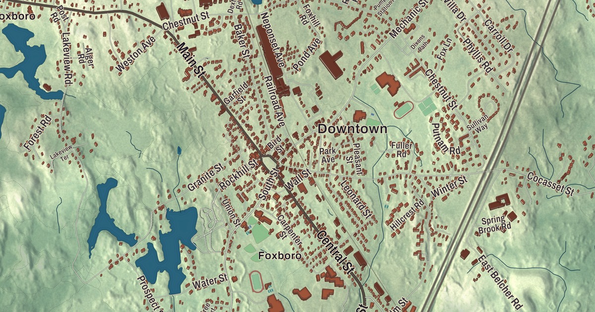
Foxborough is home to the Patriots, but the town was settled long before anyone played football here, and the Neponset River begins inside its borders. This map prints Main Street, Central Street, Commercial Street, Green Street and Cedar Street, with the Neponset Reservoir, Carpenter Pond, Beaumont Pond, Bear Island, Barefoot Hill, Cow Hill and Crackrock. Click here to purchase a print of this map for your wall.
Foxborough is in Norfolk County, about 22 miles southwest of Boston.
KNOWOL made this map in 2026 from public survey data and gave it the look of an old atlas. The relief comes from United States Geological Survey elevation data, and the roads and the town line come from the Census Bureau. Foxborough covers 20.9 square miles, 20.1 of them land. Foxborough is the town’s official spelling, while Foxboro is common and is the one the Postal Service uses. The town had 18,618 people at the 2020 census.
Named for a friend of the colonies
The Town of Foxborough’s recorded history, in the Secretary of the Commonwealth’s list, dates European settlement to 1704, and Foxborough was incorporated as a town in 1778, in the middle of the Revolution. It took its name from Charles James Fox, a Whig member of Parliament who stood up for the colonies in the years before the war. Fox saw King George III as an aspiring tyrant, and he went so far as to dress in the colors of George Washington’s army. The town remains part of Norfolk County today.
Until the early 1900s Foxborough was a string of small neighborhood communities: Foxvale, also called Paineburgh, which stayed semi-independent into the twentieth century, Quaker Hill in South Foxborough, and Lakeview in West Foxborough. In 1886 the town got what its page calls the world’s largest straw hat factory. The building later held a shoe company and then the Inman and Kimball hat factory, until it burned to the ground in 1936, and the Foxborough Post Office stands on the site today. The Foxboro Grange Hall on Bird Street, built in 1897, is one of the town’s few wood-frame commercial buildings and a reminder of its farming past. Memorial Hall, a stone building in the center of town, once held the library and is now dedicated to those who served, with a collection of artifacts from town history. On Main Street, where it meets Chestnut Street, the state built a hospital campus in the 1890s, and its oldest buildings have since been rehabilitated as mixed-income housing.
Seth Boyden, born in Foxborough in 1788, grew up the son of a farmer and blacksmith and became an inventor. After moving to Newark, New Jersey, he perfected the process for making patent leather, created malleable iron, invented a nail-making machine and built his own steamboat.
Stadium town
Schaefer Stadium opened in 1971 as the home of the New England Patriots, who had spent their first eleven seasons playing at stadiums in Boston. Later called Sullivan Stadium and then Foxboro Stadium, it was bought out of bankruptcy by Robert Kraft, who kept the Patriots from moving to St. Louis in 1994 and then bought the team. Kraft founded the New England Revolution, one of the charter clubs of Major League Soccer, in 1996. Foxboro Stadium hosted matches in the 1994 FIFA World Cup, and Gillette Stadium, which replaced it in 2002, hosted the 2026 World Cup 32 years later. The Patriot Place shopping and entertainment center, built on land around the stadium, was finished in 2009.
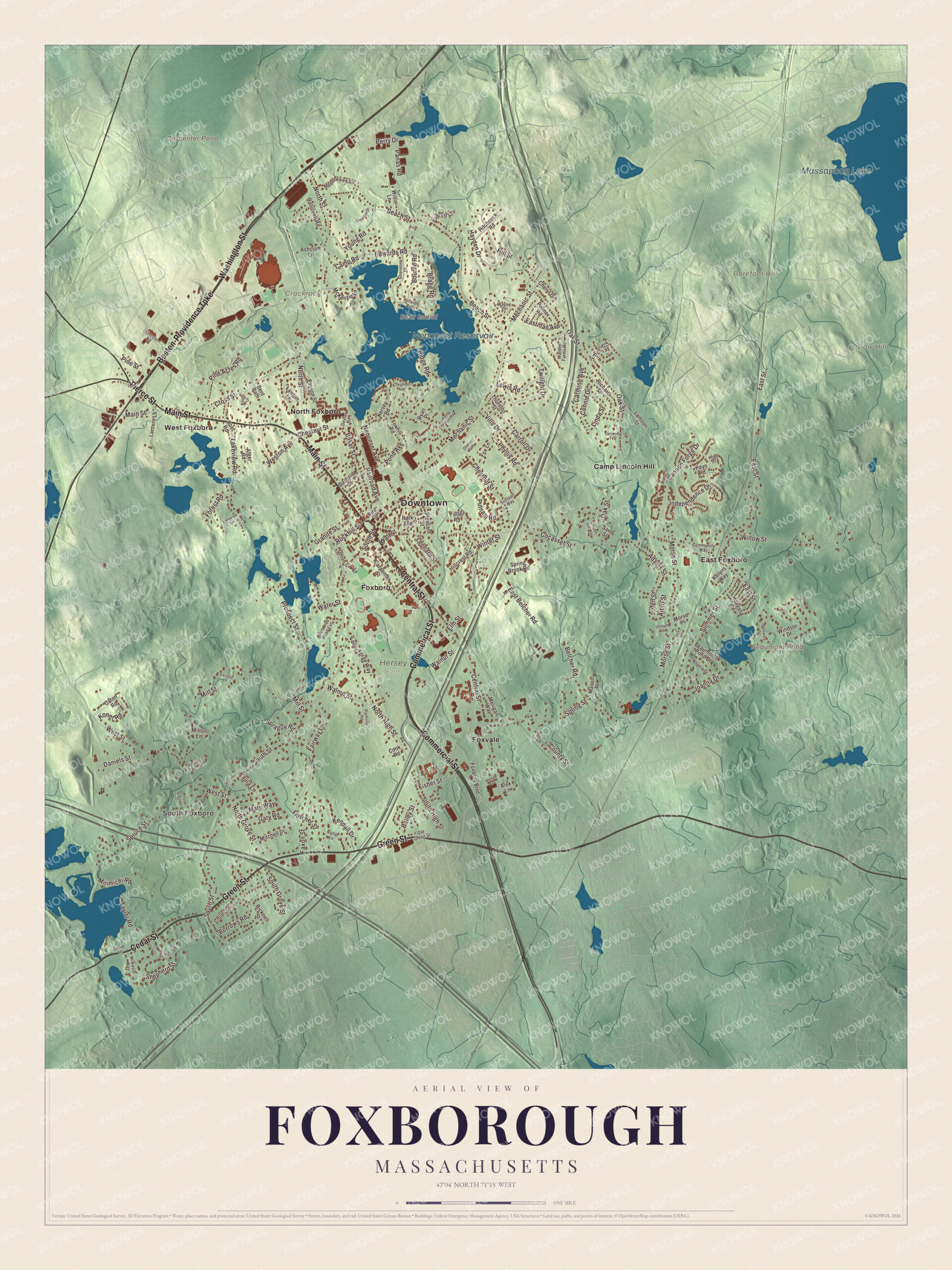
Click to explore a larger preview. The digital watermark does not appear on printed maps.
Names on this map
These names are printed on this map.
Places: Downtown, South Foxboro, Barefoot Hill, Bear Island, Cow Hill, Crackrock, Beaumont Pond, Carpenter Pond, Massapoag Lake, Neponset Reservoir, Hersey Farm, Camp Lincoln Hill, East Foxboro, Foxboro, Foxvale, North Foxboro and West Foxboro.
Streets and roads: Main Street, Commerical Street, Central Street, Commercial Street, Green Street, Cedar Street, Washington Street, Boston-Providence Turnpike, Pierce Street, South Street, Rockhill Street, East Street.
More street names, A to Z
Adams Street, Albro Street, Alden Street, Alex Lane, Alger Road, Ames Road, Angela Drive, Ashcroft Lane, Bailey Street, Baker Street, Beach Street, Beaumonts Pond Drive, Belcher Road, Bent Path, Bicknell Street, Birch Tree Road Extension, Bird Street, Borrows Road, Bourne Road, Bragg Road, Camp Road, Cannon Forge Drive, Carmine Avenue, Carpenter Street, Carroll Drive, Caton Road, Cedar Lane, Cheryl Drive, Chestnut Street, Childs Lane, Christian Drive, Cocasset Street, Community Way, Connie Drive, Cook Road, County Street, Creighton Avenue, Cross Street, Cutler Lane, Daniels Street, Dassance Drive, Dexter Road, Dixons Path, East Belcher Road, Eastman Avenue, Edwards Road, Elm Street, Everett Lane, Fairway Lane, Faxon Street, Fisher Street, Fletcher Street, Forest Road, Foxboro Boulevard, Foxhill Road, Fox Lane, Fuller Road, Garfield Street, Garland Lane, Gary Road, Granite Street, Hallowell Road, Hayden Drive, Hillcrest Road, Hillside Avenue, Hill Street, Hitchcock Road, Hodges Road, Howe Lane, Independence Drive, Iris Lane, Joanna Drive, Joseph Road, Kendall Drive, Kersey Road, Keryns Way, Knight Lane, Konet Road, Lakeview Road, Lakeview Terrace, Lamson Street, Lantern Lane, Lawton Lane, Leonard Street, Lewis Road, Lincoln Hill Way, Lincoln Road, Linda Street, Mary Way, Mason Place, McKenzie Lane, Meadowview Road, Mechanic Street, Merigan Way, Mill Street, Milton Lane, Mirimichi Road, Mitchell Drive, Morse Place, Morse Street, Neponset Avenue, North Grove Street, North High Street, North Street, Norton Street, Oak Street, Oakwud Terrace, Old Green Street, Palmer Road, Panas Road, Park Avenue, Paula Lane, Payn Road, Payson Street, Perry Drive, Phyllis Road, Pine Acres Road, Pine Street, Pleasant Street, Pond Avenue, Post Road, Prospect Street, Pumping Station Road, Putnam Road, Railroad Avenue, Richard Street, Ridge Road, Rockville Road, Ryan Place, Sand Street, Shepherd Street, Shoreline Drive, South Grove Street, South High Street, Sprague Road, Spring Brook Road, Spring Street, Spruce Street, Sullivan Way, Summer Street, Tara Ann Drive, Taylor Road, Thurston Street, Twilight Drive, Union Street, Valley Forge Way, Vernal Avenue, Villa Drive, Walden Farms Road, Wall Street, Walnut Street, Water Street, Wayne Drive, Weston Avenue, West Street, Whites Farm Lane, Wilkeson Way, Willis Lane, Willow Street, Windsor Drive, Winter Street, Young Road.
See it on a wall
The Foxborough map as a framed print. Swipe for more.


Woods and water
The Neponset Reservoir, dating from the mid-1800s, sits at the head of the Neponset River, which runs all the way to Boston Harbor, and mills downstream once used it for water power. F. Gilbert Hills State Forest covers 1,027 acres in Foxborough and Wrentham, with 23 miles of trails including part of the Warner Trail. It holds some unusual stone structures that some believe were built by Native people before the town was founded. Massapoag Lake lies in Sharon, and its page describes Lake Massapoag as a 353-acre spring-fed lake whose Algonquin name means “large water.”
Around the map
Start with South Foxboro, then follow Main Street, Central Street, Commercial Street, Green Street and Cedar Street across town. Look outward toward East Foxboro, Foxboro, Foxvale, North Foxboro and West Foxboro. Bear Island, Beaumont Pond, Massapoag Lake, the Neponset Reservoir, Barefoot Hill, Cow Hill, Crackrock and Carpenter Pond are all printed on the map.
The Foxborough map makes a fine addition to an office, library or den, and it can help teach children the geography and history of a town named for a friend of American independence. It’s made for people who call Foxborough home, from Foxvale to South Foxboro, and it shows the town as it looks today. Zoom in on the preview above to explore the details, then click here to get your copy of the Foxborough, Massachusetts map.

Sources
- Foxborough, Massachusetts, Wikipedia
- Charles James Fox, Wikipedia
- Foxboro Grange Hall, Wikipedia
- Foxborough State Hospital, Wikipedia
- Seth Boyden, Wikipedia
- Gillette Stadium, Wikipedia
- Neponset Reservoir, Wikipedia
- F. Gilbert Hills State Forest, Wikipedia
- Lake Massapoag, Wikipedia
- City and Town Incorporation and Settlement Dates, Secretary of the Commonwealth of Massachusetts (archived copy)