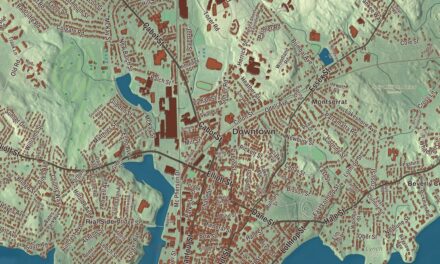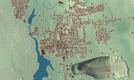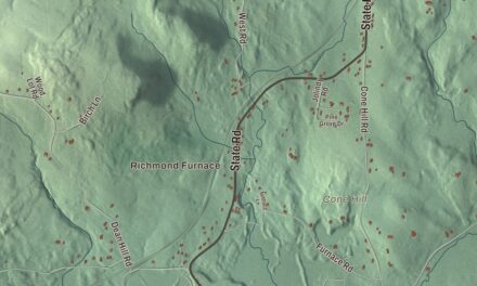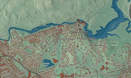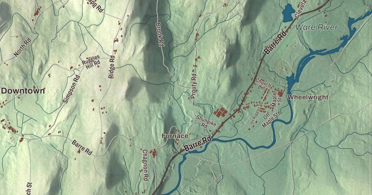
Hardwick is a town of villages and fair days, from the old town center to the mill village of Gilbertville on the Ware River and the edge of the Quabbin. This map prints Petersham Road, Barre Road, Greenwich Road, Hardwick Road, Lower Road and Main Street, with Hardwick Pond, Pottapaug Pond, Bear Hill and the Quabbin Reservoir Reservation. Click here to purchase a print of this map for your wall.
Hardwick is in Worcester County.
KNOWOL made this map in 2026 from public survey data and gave it the feel of a vintage atlas. United States Geological Survey elevation data shapes the hills and valleys, and the roads and the town line come from the Census Bureau. Hardwick covers 40.8 square miles about 20 miles northwest of Worcester, and it had 2,667 people at the 2020 census. Muddy Brook and the old East Branch of the Swift River drain the western part of town, the Ware River drains the east, and the land along the Ware is marshy, especially at the far eastern edge.
Wombemessock to Hardwick
In December 1686 Nipmuc people transferred the rights to a large tract here to eight settlers from Roxbury, who paid twenty pounds. The town page says the Native name, Wombemessock, means “place of chestnuts” or “place of small white fruit,” and that the deal came as Native people were being pushed east after King Philip’s War. By the early 1700s the place was called Lambstown, after its largest plantation owner, Colonel Joshua Lamb, and in 1732 the General Court recognized the settlement. Its first church, the First Church of Christ, went up in 1736 under the Reverend David White.
The Town of Hardwick’s recorded history, in the Secretary of the Commonwealth’s list, dates European settlement to 1737. Hardwick was incorporated as a town in 1739, named for Philip Yorke, the first Earl of Hardwicke. The town remains part of Worcester County today. In 1754 its representative, Timothy Ruggles, told the General Court the town had no more than eighty families, many of them very poor, on very rough land.
The fair and the village
In 1762 Ruggles, by then a brigadier general and later one of the leading Loyalists of New England, started the Hardwick Fair. The town page calls it the oldest annual fair in the United States, and the Hardwick Village Historic District page says the tradition carries on in the Hardwick Community Fair. That district, listed on the National Register in 1991, takes in the old town center along Petersham, Barre, Greenwich, Ruggles Hill and Gilbertville roads. Its page says the many streams around it powered saw and grist mills, and the railroads of the 1800s carried the goods to bigger markets.
The engineer Squire Whipple was born in Hardwick in 1804 and moved to New York with his family at thirteen. His bowstring iron truss became the standard design for Erie Canal crossings, and he has become known as the father of iron bridge building in America. The town’s notable people also include Moses Robinson, a governor of Vermont, Charles Robinson, a governor of Kansas, and Adeliza Perry, a Civil War nurse, writer and teacher born in Hardwick.
Gilbertville, Wheelwright and the Quabbin
Mills for textiles and paper grew through the late 1800s and were gone by the 1930s, though the town has kept its farming roots. Gilbertville grew up around a wool mill that George H. Gilbert founded on the Ware River in the 1860s, and his company built a Congregational church and a library for its workers. The village’s historic district was listed on the National Register in 1991. The Ware-Hardwick Covered Bridge, a lattice truss of 1886 about 137 feet long, carries one lane across the river between Gilbertville and Ware, and it reopened in October 2010 after a restoration. The village of Wheelwright is named for George W. Wheelwright, who owned its paper mill around the turn of the 1900s.
When the Quabbin Reservoir flooded the Swift River Valley, Hardwick gained a small piece of the old town of Greenwich along its northwest corner, the smallest share given to any of the towns around the reservoir. The water reaches into Hardwick along the old East Branch of the Swift River. Eagle Hill School, a boarding school for students with dyslexia and other learning disabilities, opened in Hardwick in September 1967 with nineteen children, and it named four of its residence halls for the lost towns of Greenwich, Prescott, Dana and Enfield.
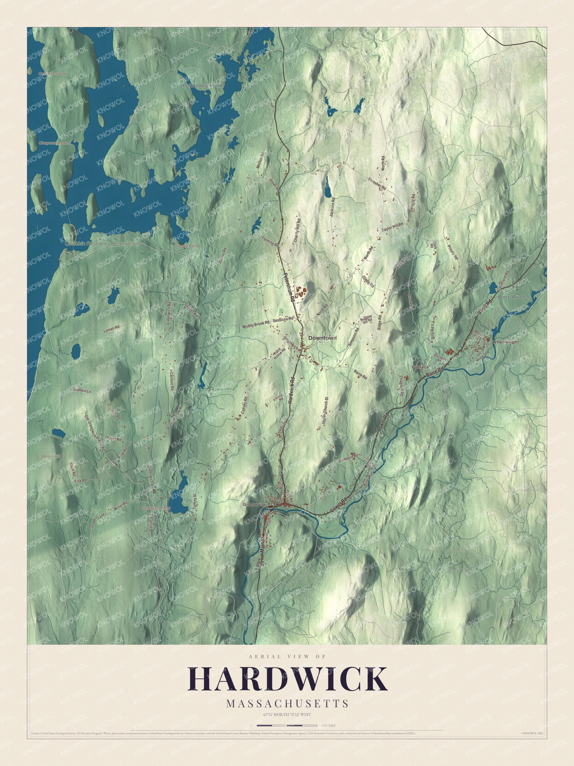
Click to explore a larger preview. The digital watermark does not appear on printed maps.
Names on this map
These names are printed on this map.
Places: Downtown, Wheelwright, Gilbertville, Furnace, Bear Hill, Carrick Island, Chapman Island, Dead Pond, Hardwick Pond, Pottapaug Pond, Ware River and Quabbin Reservoir Reservation.
Streets and roads: Lower Road, Hardwick Road, Main Street, Petersham Road, Barre Road, Greenwich Road, Quabbin Lane, Patrill Hollow Road, Collins Road, Cleveland Road, Muddy Brook Road, North Road.
More street names, A to Z
Breen Road, Brook Road, Carlson Road, Chagnon Road, Charity Hill Road, Church Lane, Clapp Road, Clark Road, Creamery Road, Czesky Road, Delargy Road, Fisk Road, Fleming Road, Gaudet Road, Goddard Road, Hall Road, Highland Terrace, High Road, Jackson Road, Lucas Road, Lyman Road, Maple Street, Mechanic Street, Mellon Road, Miner Road, Off Maple Street, Off Ruggles Street, Old Greenwich Plains Road, Patril Hollow Road, Prospect Street, Prouty Road, Quabbin Land, Ridge Road, River Run, Ruggles Hill Road, Sessions Road, Short Road, Shunpike Road, Simpson Road, Taylor Hill Road, Thayer Road, Thresher Road, Turkey Street, Upper Church Street, Ware Road.
See it on a wall
The Hardwick map as a framed print. Swipe for more.


Around the map
Start with Wheelwright. Follow Lower Road, Hardwick Road, Main Street, Petersham Road, Barre Road and Greenwich Road across town, then look outward toward Gilbertville and Furnace. Dead Pond, Hardwick Pond, Pottapaug Pond, the Ware River, the Quabbin Reservoir Reservation, Bear Hill, Carrick Island and Chapman Island are all printed on the map, and each of those names is right there on the artwork.
The Hardwick map makes a handsome addition to an office, library or den, and it can help teach children the geography and history of an old fair town on the Quabbin’s edge. It’s made for people who call Hardwick home, from Wheelwright to Gilbertville, and it shows the town as it looks today. Zoom in on the preview above to explore the details, then click here to get your copy of the Hardwick, Massachusetts map.

Sources
- Hardwick, Massachusetts, Wikipedia
- Hardwick Village Historic District, Wikipedia
- Timothy Ruggles, Wikipedia
- Squire Whipple, Wikipedia
- Gilbertville Historic District, Wikipedia
- Ware-Hardwick Covered Bridge, Wikipedia
- Wheelwright, Massachusetts, Wikipedia
- Quabbin Reservoir, Wikipedia
- Eagle Hill School, Wikipedia
- City and Town Incorporation and Settlement Dates, Secretary of the Commonwealth of Massachusetts (archived copy)