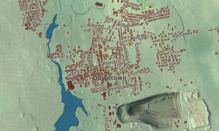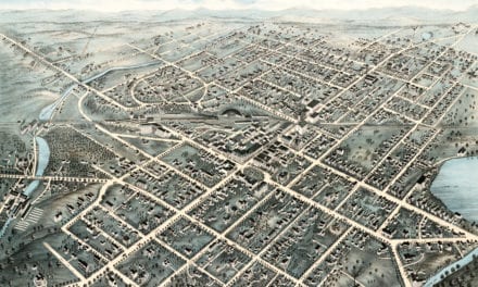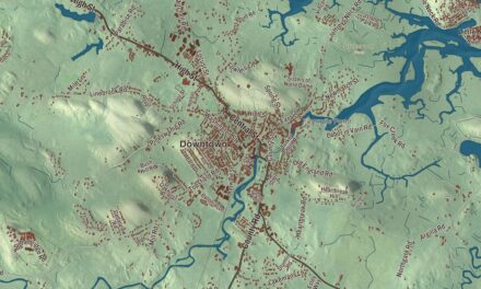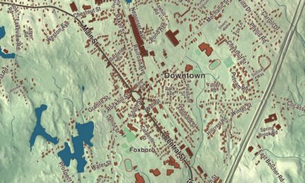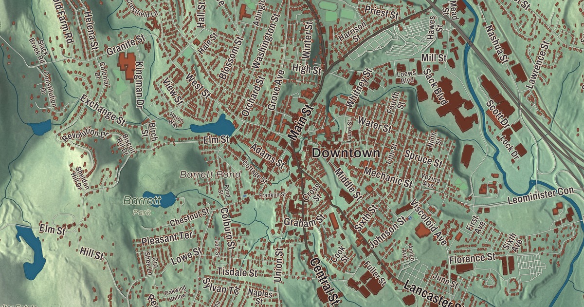
Leominster grew up around Monument Square and the old factories along Monoosnoc Brook, with the triple deckers of French Hill above and the Nashua River bending through the east and north ends. This map prints North Main Street, Main Street, Central Street, Lancaster Street, New Lancaster Road and the George West Stanton Highway, with Notown Reservoir, Barrett Pond, Baker Pond and Bee Hill. Click here to purchase a print of this map for your wall.
Leominster is in Worcester County.
KNOWOL made this map in 2026 from public survey data and gave it the look of a vintage city atlas. United States Geological Survey elevation data shapes the plateau and the hills, and the streets and the city line come from the Census Bureau. Leominster covers 29.8 square miles north of Worcester, with Fitchburg and Lunenburg on its northern edge, and had an estimated 44,209 people in 2024. Most of the city sits on a plateau above the Nashua River, while the north and west are rougher ground scattered with hills. South Monoosnoc Hill, at 1,020 feet, is the highest point, and in the 1800s its granite was quarried for house foundations. Notown Reservoir and Leominster State Forest lie west of the two Monoosnoc hills. The forest’s 4,246 acres reach into four neighboring towns and hold cellar holes and stone walls from Notown, an unincorporated settlement of the 1700s that was split among its neighbors in 1838.
Part of Lancaster
The Nashua River valley was home to Pennacook or Nipmuc people, who grew corn, beans, squash and tobacco in its soil. European settlers arrived in the mid-1600s, and in 1653 the Leominster area was founded as part of the town of Lancaster. It takes its name from Leominster in Herefordshire, England. The City of Leominster’s recorded history, in the Secretary of the Commonwealth’s list, dates European settlement to 1653. After King Philip’s War left Lancaster nearly deserted, the settlers who came back under a new grant of 1701 bargained for the land with Chief Sholan and his nephew George Tahanto of the Nashaway, and the city page calls it the only parcel legally purchased in Central Massachusetts. By 1737 the area had enough people to stand on its own, and Leominster was incorporated as a town in 1740, on June 23. Around the Civil War years, the Emory Stearn Schoolhouse and the John Drake home led antislavery campaigns and sheltered people escaping slavery on the Underground Railroad.
The Comb City
Farming gave way to manufacturing early in the 1800s. New turnpikes made Leominster a regional crossroads around 1800, and the Fitchburg Railroad through North Leominster and the Fitchburg and Worcester line through the center opened the way for factories. Comb making flourished above all. By 1853 there were 146 workers in 24 comb factories, shaping horn by hand and cutting each tooth one at a time. When horn and hoof grew scarce, a new plastic called celluloid changed the trade and gave Leominster the nickname “Comb City.” Bernard Wendell Doyle founded the Viscoloid Company in 1901, the city’s largest plastic maker, which began making toys of pyroxylin plastic in 1914 and was the largest employer in Leominster by 1923.
Samuel Foster left Viscoloid to start his own plastics company, Foster Grant, and combs were its first big product. In the 1930s he brought in the new injection molding machines from Europe, and his mechanics worked to get them running. Molding let Foster Grant make plastic sunglasses, 20 million pairs of them in 1937, and the city came to be called the “Pioneer Plastics City.” Earl Tupper founded Tupperware in Leominster in 1938, and in the 1950s Don Featherstone designed the plastic pink flamingo lawn ornament for Union Products of Leominster, modeling it on pictures in National Geographic. The flamingo later won him the Ig Nobel Prize for Art in 1996. Irish workers came first, then French Canadians and Italians, and the population climbed from 2,069 in 1840 to 19,744 by 1920. Leominster was chartered as a city on November 2, 1915.
Johnny Appleseed’s hometown
John Chapman, the pioneer nurseryman known as Johnny Appleseed, was born in Leominster on September 26, 1774, and a granite marker on Johnny Appleseed Lane shows his birthplace. He went on to plant apple trees from seed across large parts of Pennsylvania, Ohio, Indiana and Illinois. The city has held a Johnny Appleseed Festival at Monument Square each September since 1994, with crafts, booths and a parade, and every June the Starburst Festival fills Doyle Field with music and fireworks. The Leominster Colonial Band, founded by Italian immigrants in 1910, has given free summer concerts since the 1930s. The author Robert Cormier, who wrote The Chocolate War and I Am the Cheese, came from Leominster, and so did David I. Walsh, governor of Massachusetts and a United States senator.
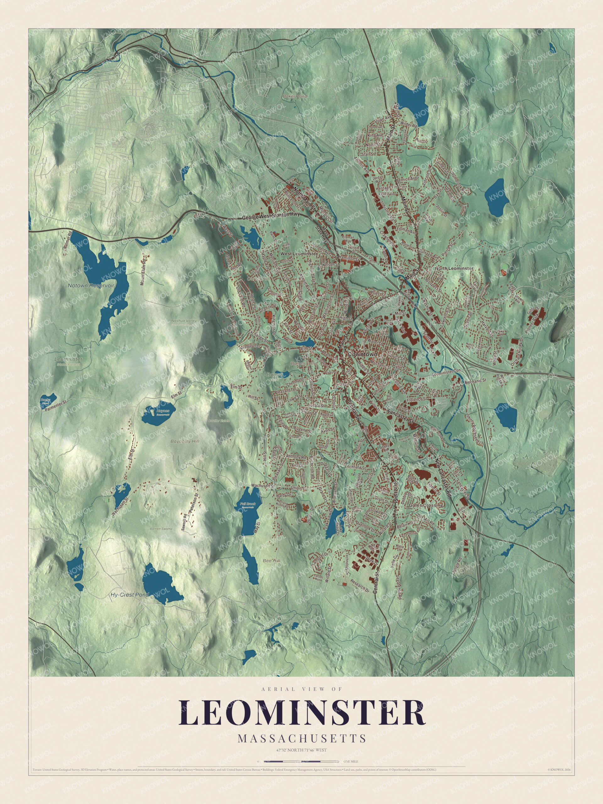
Click to explore a larger preview. The digital watermark does not appear on printed maps.
Names on this map
These names are printed on this map.
Places: Downtown, Gates Crossing, Bayberry Hill, Bee Hill, Carter Hill, Baker Pond, Barrett Pond, Notown Reservoir, Hy-Crest Pond, Barrett Park, Bartlett Swamp, Coulter Estate, Fall Brook Reservoir, Haynes Reservoir, Leominster State Forest, Nashua Valley Conservation Area, Rocky Pond, North Leominster, West Leominster, Pioneer Park and Jytek Park.
Streets and roads: North Main Street, Central Street, Main Street, Lancaster Street, New Lancaster Road, George West Stanton Highway, North Street, Pleasant Street, Merriam Avenue, Helena Street, Wachusett Street, Elm Street.
More street names, A to Z
Abbey Road, Abbott Avenue, Adams Street, Albert Drive, Amico Avenue, Anthony Road, Arlington Street, Aspinwall Avenue, Atlantic Avenue, Austin Street, Avon Street, Barnes Street, Battles Street, Belair Heights, Bernice Avenue, Bicentennial Avenue, Birchcroft Road, Birch Street, Biscayne Street, Biscuit Hill Drive, Blossom Street, Briar Road, Brooks Pond Road, Brown Avenue, Burrage Avenue, Buttermilk Road, Calza Street, Chestnut Street, Claflin Street, Colbert Street, Colburn Street, Colonial Drive, Constitution Drive, Cook Street, Cottage Street, Crawford Street, Crestfield Lane, Crimson Court, Crisci Street, Cro Shee Lane, Cross Street, Cutler Street, Dale Avenue, Danielle Drive, Day Street, Debbie Drive, Decicco Drive, Dobson Circle, Dogwood Road, Duggan Drive, Eastern Avenue, Ellen Street, Erdman Way, Eugene Street, Eva Drive, Exchange Street, Extension, Fairfield Road, Farm Hill Road, Field Road, Fifth Street, First Avenue, Florence Street, Fourth Street, Francis Street, Franklin Street, Fuller Street, Gitto Drive, Glenwood Drive, Gordon Street, Graham Street, Granite Street, Grant Street, Grove Avenue, Hale Street, Hall Street, Hamilton Street, Hardy Drive, Harrison Street, Harvard Street, Hawes Street, Hayes Street, Heritage Lane, Heron Way, Highland Avenue, High Street, Hill Street, Holland Woods Road, Hoover Street, Independence Drive, Industrial Road, Isabel Circle, Jamestown Road, Johnny Appleseed Lane, Johnson Street, Jordan Way, Joslin Street, Julian Drive, June Street, Jungle Road, Jytek Drive, Katie Lane, Kendall Hill Road, King Avenue, Kingman Drive, Lake Shore Drive, Lakeview Drive, Landis Lane, Lantern Lane, Larson Avenue, Laurel Street, Lawrence Street, Legate Hill Road, Leominister Con, Lincoln Drive, Lincoln Street, Linda Street, Lindell Avenue, Lisa Drive, Litchfield Street, Lock Drive, Loews Boulevard, Lois Street, Long Hill Drive, Lourdes Drive, Lowe Street, Lynn Haven Road, Malburn Street, Maple Avenue, Martha Street, Mary Avenue, Mass State Highway, May Street, Mead Street, Mechanic Street, Middle Street, Mill Street, Monarch Street, Mooreland Avenue, Mount Elam Road, Nancy Court, Naples Street, Nashua Street, Nelson Street, Ninth Street, Oakwind Hollow, Olde Tavern Road, Old Farm Road, Old Mill Road, Orchard Hill Pk Drive, Orchard Street, Overlook Drive, Page Avenue, Palmer Road, Palm Street, Parmenter Street, Pennacook Drive, Peterson Street, Pierce Street, Pleasant Terrace, Pond Street, Priest Street, Princeton Street, Prospect Street, Reed Street, Regina Drive, Research Drive, Revolution Drive, Ridgewood Drive, River Street, Rumbrook Road, Sack Boulevard, Samoset Drive, Sawmill Road, Sawtelle Road, Sawyer Way, Scenic Drive, Scott Drive, Sharimar Drive, Sheldon Hill Drive, Sixth Avenue, Sixth Street, Sky Lane, Slack Brook Road, Smith Street, Spruce Street, Starr Street, State Street, Stuart Avenue, Sunrise Avenue, Sylvan Terrace, Technology Drive, Terrace Drive, Theodore Drive, Tisdale Street, Tolman Avenue, Union Street, Valleyview Road, Vezina Avenue, View Street, Viscoloid Avenue, Vista Avenue, Washington Street, Water Street, West Street, White Pond Road, White Street, Whitney Street, Wilder Lane, Wilder Road, Willard Street, Winter Street, Woodsome Avenue, Yelle Circle.
Around the map
Start with Gates Crossing. Follow North Main Street, Central Street, Main Street, Lancaster Street, New Lancaster Road and the George West Stanton Highway across the city. Then look outward toward North Leominster and West Leominster. Baker Pond, Barrett Pond, Notown Reservoir, Hy-Crest Pond, Bayberry Hill, Bee Hill and Carter Hill are printed on the map too, each name set right on the artwork.
The Leominster map makes a fine addition to an office, library or den, and it can help teach children the geography and history of the Pioneer Plastics City. It’s made for people who call Leominster home, from French Hill to North Leominster, and it shows the city as it looks today. Zoom in on the preview above to explore the details, then click here to get your copy of the Leominster, Massachusetts map.

We made a map for every town and city in Massachusetts. Explore the complete Massachusetts map collection and find your town.
Sources