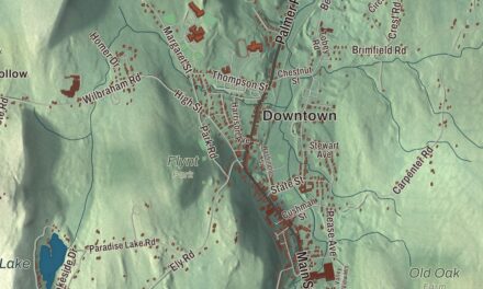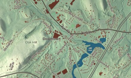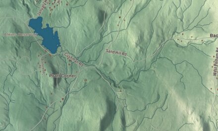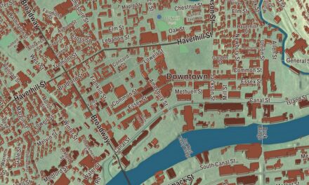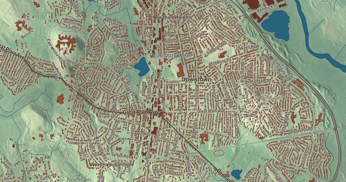
The Charles River runs along two sides of Needham, and this map takes in the town between its banks, from Great Plain Avenue and Central Avenue out along Dedham Avenue, Highland Avenue, Grove Street and Wellesley Avenue. Rosemary Lake, Sabrina Lake, Ridge Hill Reservation and Birds Hill are printed on it, along with the Charles River. Click here to purchase a print of this map for your wall.
Needham is in Norfolk County.
KNOWOL made this map in 2026 from public survey data and gave it the look of an old atlas. The hills come from United States Geological Survey elevation data, and the streets and the town line come from the Census Bureau. Needham is shaped roughly like a triangle pointing north. The Charles River forms nearly all of its southern and northeastern sides, and the Wellesley line forms the third. The land rises from 85 feet at Rosemary Meadows to 180 feet at Needham Square and 300 feet at Birds Hill. The town covers 12.7 square miles and had 32,091 people at the 2020 census.
The north side of the river
The Town of Needham’s recorded history, in the Secretary of the Commonwealth’s list, dates European settlement to 1680, when the settlers bought a tract four miles by five from Chief Nehoiden for 10 pounds, 40 acres of land and 40 shillings’ worth of corn. The land was then the North Parish of Dedham. Forty men living on the north side of the Charles asked the General Court to make them a separate town, citing poor schools and churches, and Needham was incorporated as a town in 1711, named for Needham Market in Suffolk, England. The town remains part of Norfolk County today. Its meeting house stood on what is now Central Avenue. Settlers in the western part of town later formed a West Parish, and in 1881 it became the town of Wellesley. The next year Needham and Wellesley high schools played their first Thanksgiving football game, now, by the town page’s count, the second-longest running high school football rivalry in the United States and the longest played on Thanksgiving.
Back Bay, baby clothes and a millionaire’s lakes
When Boston began filling the Back Bay in 1857, the fill came from Needham, near today’s Route 128. The contractors Goss and Munson built six miles of railroad from Needham, and their 35-car trains made 16 trips a day to the Back Bay. In 1865 William Carter started a knitting mill in Needham Heights that grew into a leading maker of children’s clothing in the United States; his second mill stood on the shore of Rosemary Lake. In the late 1860s William Emerson Baker, who had grown wealthy improving the sewing machine, gathered more than 800 acres into Ridge Hill Farm, dug two lakes including Sabrina Lake, and opened part of it as an amusement park with exotic animals, tunnels and trick floors. His Hotel Wellesley, built in 1888 near today’s Whitman Road and Charles River Street, had room for more than 300 guests; it burned in 1891. That same year Walker-Gordon Laboratories set up in Charles River Village to make cleaner milk for babies.
In 2005 Needham became, as the town page puts it, the first jurisdiction in the world to raise the legal age for buying tobacco to 21. The astronaut Sunita Williams grew up here and graduated from Needham High School in 1983. She went on to command the International Space Station twice, and in 2017 the town’s school committee voted to name its new elementary school for her.
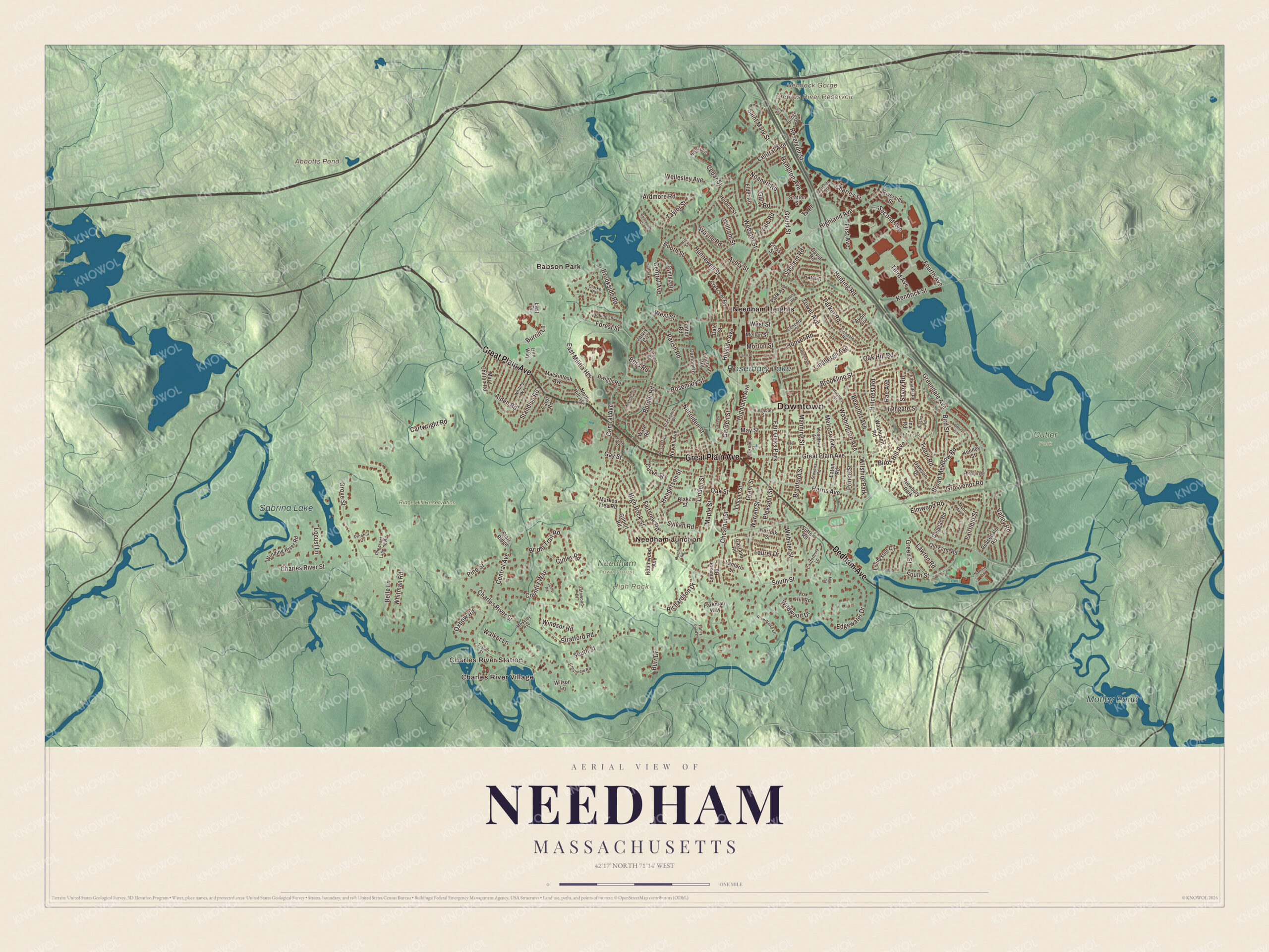
Click to explore a larger preview. The digital watermark does not appear on printed maps.
Names on this map
These names are printed on this map.
Places: Downtown, Charles River Village, Charles River Station, Birds Hill, Hemlock Gorge, High Rock, Abbotts Pond, Charles River Reservoir, Sabrina Lake, Motley Pond, Rosemary Lake, Cutler Park, Needham Town Forest, Ridge Hill Reservation, Babson Park, Needham Heights, Needham Junction, Fair Oaks Park, Wilshire Park and Newbury Park.
Streets and roads: Great Plain Avenue, Dedham Avenue, Highland Avenue, Grove Street, Wellesley Avenue, Central Avenue, Pleasant Street, Charles River Street, Booth Street, South Street, Greendale Avenue, Webster Street.
More street names, A to Z
Alden Road, Aletha Road, Ardmore Road, Avery Street, Avon Circle, Beaufort Avenue, Belle Lane, Bess Road, Birds Hill Avenue, Bird Street, Blacksmith Drive, Blake Street, Border Road, Bradford Street, Briarwood Circle, Bridge Street, Bridle Trail Road, Broad Meadow Road, Brookline Street, Brookside Road, Burr Drive, Burrill Lane, Canterbury Lane, Carol Road, Carter Street, Cartwright Road, Cedar Street, Charles Street, Chestnut Street, Clarke Road, Concord Street, Country Way, Crescent Road, Crestview Road, Cross Street, Curve Street, Cutler Road, Cynthia Road, Dale Street, Damon Road, Dana Place, David Road, Dawson Drive, Donna Road, Douglas Road, Dwight Road, East Drive, East Militia Heights, Eaton Road, Edgewater Drive, Edwardel Road, Elder Road, Elmwood Road, Emerson Road, Enslin Road, Fairfield Street, Fairview Road, Farley Pond Lane, Fay Lane, Fenton Road, First Avenue, Fisher Street, Forest Street, Fourth Avenue, Fox Hill Road, Fremont Street, Garden Street, Gary Road, Gatewood Drive, Gayland Road, Gay Street, Gilbert Road, Gould Street, Grant Street, Green Street, Grosvenor Road, Hamlin Lane, Hampton Avenue, Harris Avenue, Henderson Street, Highgate Street, High Rock Street, Hillcrest Road, Hillside Avenue, Hill Street, Holmes Street, Homsy Lane, Hoover Road, Horace Street, Hunnewell Street, Hunting Road, Ina Road, Jarvis Circle, Kendrick Street, Kenney Street, Kingsbury Street, Lake Drive, Lantern Lane, Laurel Drive, Lawton Road, Lincoln Street, Lindbergh Avenue, Linden Street, Livingston Circle, Locust Lane, Mackintosh Avenue, Mann Avenue, Manning Street, Maple Street, Marked Tree Road, Marr Road, Mary Chilton Road, May Street, Meetinghouse Circle, Mellen Street, Melrose Avenue, Morton Street, Moseley Avenue, Murphy Road, Nardone Road, Nehoiden Street, Newell Avenue, Noanett Road, Norfolk Street, North Hill Avenue, Oak Hill Road, Oak Street, Old Farm Road, Olin Way, Otis Street, Oxbow Road, Parish Road, Park Avenue, Parker Road, Parkman Way, Peacedale Road, Petrini Circle, Pheasant Landing Road, Pickering Street, Pinehill Drive, Pine Street, Pond Street, Prince Street, Prospect Street, Rae Avenue, Reservoir Street, Richardson Drive, Richdale Road, Riverbend Lane, Riverside Street, Robinwood Avenue, Rolling Lane, Rosemary Street, Sachem Road, Saint Mary Street, Savoy Road, Scott Road, Second Avenue, Spring Road, Standish Road, Starr Ridge, Station Street, Stevens Road, Stratford Road, Sunset Road, Sutton Road, Sylvan Road, Taylor Street, Third Avenue, Tillotson Road, Tower Avenue, Tudor Road, Tv Place, Valley Road, Wachusett Road, Walker Lane, Ware Road, Warren Street, Washington Avenue, Wayne Road, West Street, Whiting Way, Whitman Road, Wildwood Drive, William Street, Wilson Lane, Winding River Road, Windsor Road, Woodlawn Avenue, Yale Road.
See it on a wall
The Needham map as a framed print. Swipe for more.


Around the map
Start with Charles River Village, then follow Great Plain Avenue, Dedham Avenue, Highland Avenue, Grove Street, Wellesley Avenue and Central Avenue across town. Then look outward toward Charles River Station, Babson Park, Needham Heights and Needham Junction. Abbotts Pond, Sabrina Lake, Motley Pond, Rosemary Lake, Ridge Hill Reservation, Birds Hill, High Rock and the Charles River Reservoir are all labeled on the map, and every one of those names is printed directly on the artwork, along with the Charles River itself. Most of Cutler Park lies in Needham, along the Charles toward Newton and West Roxbury; its 772 acres hold the largest remaining freshwater marsh on the middle Charles, with boardwalk trails through it.
The Needham map makes a fine addition to an office, library or den, and it can help teach children the geography and history of a river town that helped build Boston’s Back Bay. It’s made for people who call Needham home, from Needham Heights to Charles River Village, and it shows the town as it looks today. Zoom in on the preview above to explore the details, then click here to get your copy of the Needham, Massachusetts map.

Sources