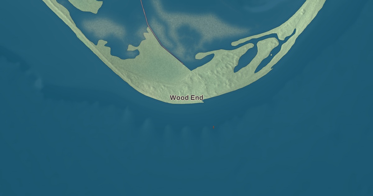
The Pilgrims signed the Mayflower Compact in Provincetown Harbor in 1620, weeks before anyone set foot at Plymouth, and the granite tower that remembers it still rises over the town. This map of the tip of Cape Cod prints Commercial Street, Bradford Street, Province Lands Road, Franklin Street, Alden Street and Conwell Street, with Wood End, Shank Painter Pond and High Pole Hill. Click here to purchase a print of this map for your wall.
Provincetown is in Barnstable County.
KNOWOL made this map in 2026 from public survey data and gave it the look of an old atlas. United States Geological Survey elevation data shapes the dunes and hills, and the streets and the town line come from the Census Bureau. Provincetown covers 17.5 square miles, and 7.8 of them are water. Its only neighbor is Truro to the east; everywhere else it meets Provincetown Harbor, Cape Cod Bay, Massachusetts Bay or the Atlantic, along 21.3 miles of shore. About 73 percent of its land belongs to the Cape Cod National Seashore, run by the National Park Service, and the town itself lines the harbor south of the park. It had 3,664 year-round residents at the 2020 census, and as many as 60,000 people in summer.
The Province Lands
The Nauset people had long lived here, at a settlement called Meeshawn. On May 15, 1602, Bartholomew Gosnold made landfall here, first called the place Shoal Hope, and then, after his crew caught a great store of codfish, named this outermost tip Cape Cod; only much later did the name spread to the whole peninsula. The Mayflower anchored in the harbor in November 1620, and the Pilgrims drew up and signed the Compact here and came ashore in the West End before moving on to Plymouth. In 1654 the governor of Plymouth Colony bought the land from the Nauset chief for two brass kettles, six coats, 12 hoes, 12 axes, 12 knives and a box, and the colony leased its fishing rights to help pay for schools and other projects. When Plymouth and Massachusetts Bay were joined in 1692, the land became the Province Lands.
The Town of Provincetown’s recorded history, in the Secretary of the Commonwealth’s list, dates European settlement to 1700. Provincetown was incorporated as a town in 1727. The people who lived there wanted to call it Herringtown, but the General Court chose Provincetown, and residents could hold their land but not own it until 1893, when the General Court gave them deeds. After the Revolution it grew into a fishing and whaling port, with many Portuguese sailors, a great number of them from the Azores, settling here after signing on to American ships. The town remains part of Barnstable County today.
An art colony
By the 1890s writers and artists had begun to settle in Provincetown, and after the Portland Gale of 1898 badly damaged the fishing industry, members of the art community took over many of the empty buildings. Around the turn of the century the painter Charles Webster Hawthorne opened the Cape Cod School of Art, which taught its students outdoors, and in 1914 he helped found the Provincetown Art Association, today the Provincetown Art Association and Museum, in its building at 460 Commercial Street. In the summer of 1915 a group of friends staged two one-act plays in a Provincetown home, then moved to a fish house on Lewis Wharf; as the Provincetown Players they helped launch the careers of Eugene O’Neill and Susan Glaspell. The Fine Arts Work Center has offered residencies to emerging artists and writers here since 1968.
The town had a gay presence from the early days of the art colony, and by the 1970s it had a large gay population, especially in summer. The Provincetown Business Guild was formed in 1978 to promote gay tourism, and today more than 200 businesses belong to it. Women’s Week has been held every October since 1984, and Fantasia Fair, a conference on gender diversity and transgender issues, has met here every year since 1975. The most established events come in summer: the Portuguese Festival, Bear Week and Carnival Week.
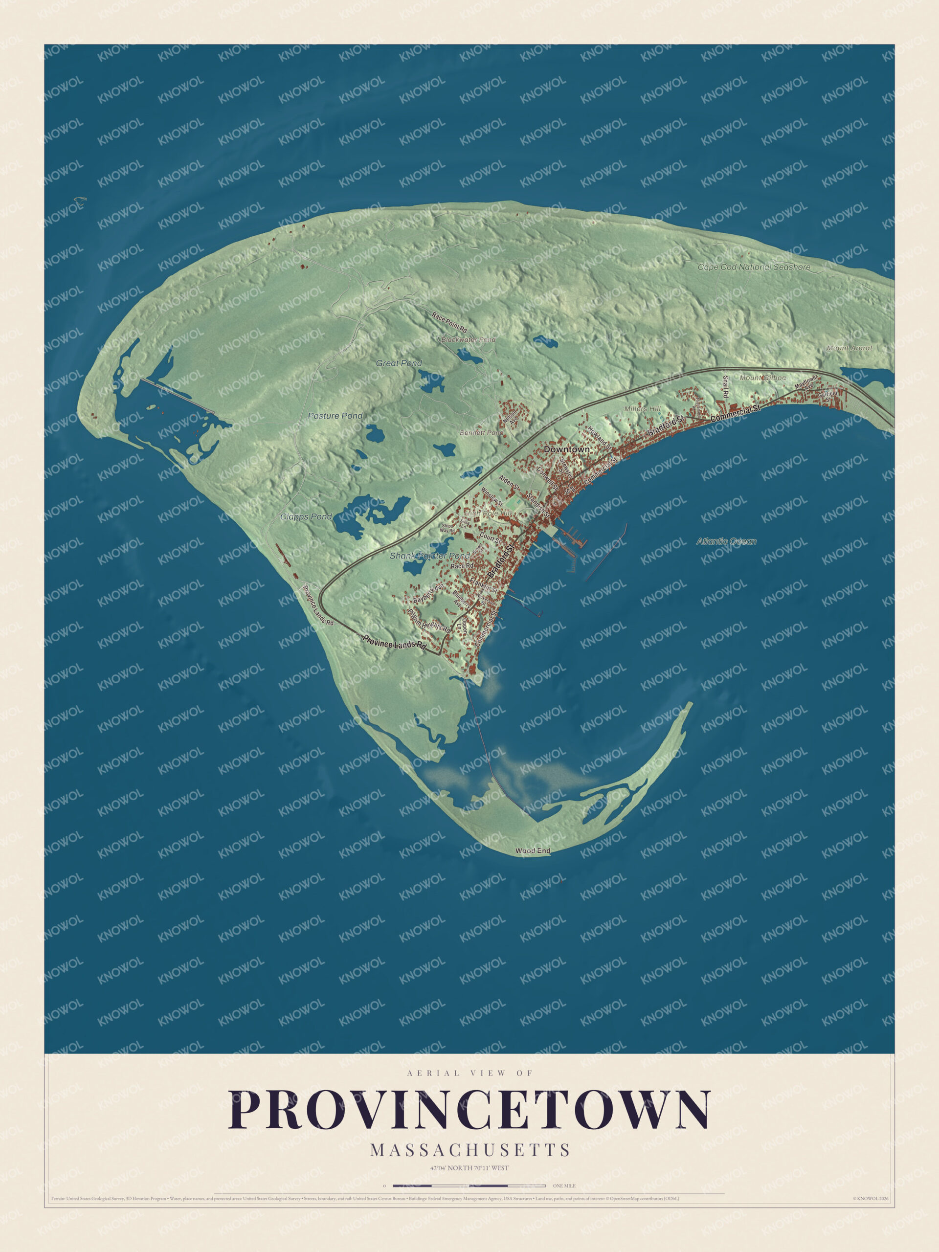
Click to explore a larger preview. The digital watermark does not appear on printed maps.
Names on this map
These names are printed on this map.
Places: Downtown, Wood End, High Pole Hill, Millers Hill, Mount Ararat, Mount Gilboa, Bennett Pond, Blackwater Pond, Clapps Pond, Shank Painter Pond, Great Pond, Pasture Pond, Cape Cod National Seashore and Atlantic Ocean.
Streets and roads: Province Lands Road, Bradford Street, Commercial Street, Franklin Street, Alden Street, Conwell Street, Race Point Road, Bayberry Avenue, Howland Street, Pilgrim Heights Road, Court Street, Snail Road.
More street names, A to Z
Blueberry Avenue, Brewster Street, Brown Street, Center Street, Garfield Street, Law Street, Mayflower Avenue, Nelson Avenue, Nickerson Street, Oppen Lane, Race Road, Ships Way Road, Silva Lane, Standish Street, Thistlemore Road, Winslow Street.
Around the map
Start with Wood End, at the southwest end of Long Point near the southern tip of the Provincetown Spit, where the Wood End Light was first lit on November 20, 1872; in 1981 it became the first lighthouse in Massachusetts to run its light and fog signal on solar power. Follow Province Lands Road, Bradford Street, Commercial Street, Franklin Street, Alden Street and Conwell Street across town. Commercial Street, where most of the town’s businesses stand, runs the length of the Provincetown Historic District, about 300 acres and more than 1,000 buildings between Route 6 and the harbor. The district takes in the First Universalist Church of 1847, the oldest church in town, and the brick post office on Commercial Street, built in 1930 and still the town’s only one.
Bennett Pond, Blackwater Pond, Clapps Pond, Shank Painter Pond, High Pole Hill and Millers Hill are all printed on the map. The Pilgrim Monument, built from 1907 to 1910, stands about 252 feet tall and is the tallest all-granite structure in the United States. Theodore Roosevelt laid its cornerstone and William H. Taft dedicated it, and its design follows the Torre del Mangia in Siena, Italy. Each year lights are strung from its top to its base in November and lit every night into January. To the north lie the dunes and small ponds of the Province Lands, from Mount Ararat in the east to Race Point in the west.
The Provincetown map makes a fine addition to an office, library or den, and it can help teach children the geography and history of the town where the Pilgrims first dropped anchor. It’s made for people who call Provincetown home, from Wood End to Race Point, and it shows the town as it looks today. Zoom in on the preview above to explore the details, then click here to get your copy of the Provincetown, Massachusetts map.

We made a map for every town and city in Massachusetts. Explore the complete Massachusetts map collection and find your town.
Sources
- Provincetown, Massachusetts, Wikipedia
- Pilgrim Monument, Wikipedia
- Provincetown Historic District, Wikipedia
- Wood End Light, Wikipedia
- Charles Webster Hawthorne, Wikipedia
- Provincetown Art Association and Museum, Wikipedia
- Provincetown Players, Wikipedia
- City and Town Incorporation and Settlement Dates, Secretary of the Commonwealth of Massachusetts (archived copy)