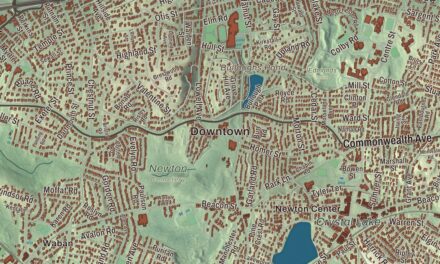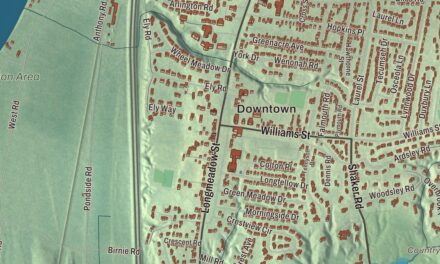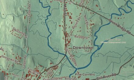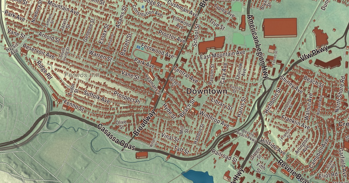
Revere Beach, three miles of sand along the city’s eastern shore, is considered the oldest public beach in the United States. This map of the city prints Revere Beach Parkway, Winthrop Parkway, VFW Parkway, Lee Burbank Highway, Squire Road and North Shore Road, with Beachmont, Point of Pines, Oak Island and the Rumney Marsh Reservation. Click here to purchase a print of this map for your wall.
Revere is in Suffolk County.
KNOWOL made this map in 2026 from public survey data and gave it the look of an old atlas. United States Geological Survey elevation data gives the land its relief, and the streets and the city line come from the Census Bureau. Revere lies about five miles northeast of downtown Boston, on Massachusetts Bay, and the MBTA Blue Line ends here, with stations at Wonderland, Revere Beach and Beachmont. The city had 62,186 people at the 2020 census.
Rumney Marsh to Revere
The Native people who lived here belonged to the Pawtucket and were known to the colonists as the Rumney Marsh Indians, after the salt marsh they lived beside. The City of Revere’s recorded history, in the Secretary of the Commonwealth’s list, dates European settlement to 1630. Rumney Marsh was annexed to Boston in 1634, and by 1639 its land had been gathered into seven large farms; farming was its main work. The first county road in North America crossed the marsh in 1641, from the Winnisemmet ferry to Salem. In 1739 Rumney Marsh, Winnisemmet and Pullen Point were set off from Boston as the town of Chelsea, and Rumney Marsh, the largest of the three, became its center. The Battle of Chelsea Creek, one of the first naval battles of the Revolution, was fought here in 1775. Revere was incorporated as a town in 1846, under the name North Chelsea. Pullen Point left in 1852 to become Winthrop, and in 1871 North Chelsea renamed itself for Paul Revere, whose fame had grown with Longfellow’s poem about his ride. It was incorporated as a city in 1914, and its first mayor took office on January 4, 1915.
The Rumney Marsh Burying Ground holds the graves of 16 formerly enslaved Black people, and a plaque there lists their names, dates of death and approximate ages. By 1905 Revere’s Italian community had grown enough to found its first Italian Catholic parish, Saint Anthony of Padua, in a three-family house on Revere Street. Jewish families from Russia and Poland settled around Shirley Avenue, and in 1940 about a quarter of the city was Jewish. Shirley Avenue has gone on to welcome European, Latin American, African and Cambodian families, and it’s the most ethnically diverse part of the city. The Revere Public Library, a Carnegie library opened in 1903, has never been expanded, and its original Georgian Revival and American Renaissance styles remain visible. Kelly’s Roast Beef, founded in Revere in 1951 with its main shop on the beach, claims to have invented the modern roast beef sandwich.
The beach
In 1896 the Metropolitan Park Commission took over Revere Beach, cleared away hundreds of private buildings and redesigned the shore between today’s Elliot Circle and Point of Pines, following a plan by Charles Elliot. Rides and attractions filled the beach until the middle of the 20th century, when its popularity faded and the Blizzard of 1978 destroyed much of what was left. After a rebuilding through the 1980s, the beach officially reopened in May 1992, and in 1996 the city celebrated a hundred years since it first opened. The Revere Beach Reservation is listed on the National Register of Historic Places. Click here to learn more about the history of Revere.
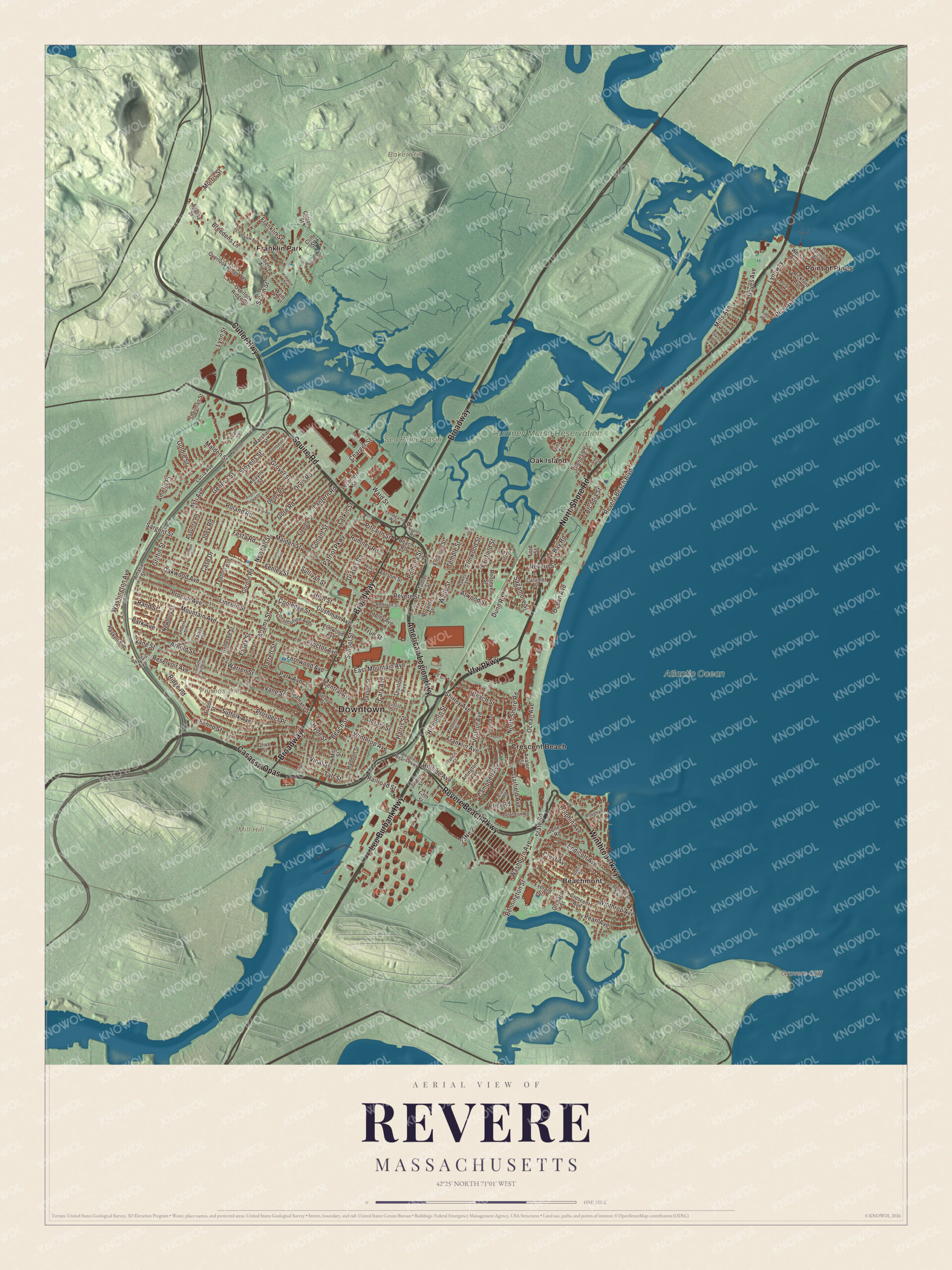
Click to explore a larger preview. The digital watermark does not appear on printed maps.
Names on this map
These names are printed on this map.
Places: Downtown, Baker Hill, Fennos Hill, Grovers Cliff, Mill Hill, Rumney Marsh Reservation, Atlantic Ocean, Sea Plane Basin, Beachmont, Crescent Beach, Franklin Park, Oak Island, Point of Pines and Waitt Park.
Streets and roads: Revere Beach Parkway, Winthrop Parkway, Vfw Parkway, Casassa Opas, Lee Burbank Highway, Squire Road, North Shore Road, Broadway, American Legion Highway, Cutler Highway, Ocean Avenue, State Road.
More street names, A to Z
Adams Street, Agatha Street, Amasa Street, Ambrose Street, Amelia Place, Ann Road, Arcadia Street, Arlington Avenue, Arnold Street, Assunta Road, Asti Avenue, Atwood Street, Aurelia Sylvia Drive, Avalon Street, Barrett Street, Bateman Avenue, Bay Road, Beach Road, Beach Street, Bellingham Avenue, Bennington Street, Bickford Avenue, Breedens Lane, Brenton Street, Bryant Street, Calumet Street, Campbell Avenue, Carlson Avenue, Cary Avenue, Case Drive, Central Avenue, Charger Street, Clark Road, Cliff Street, Clifton Street, Conant Street, Constitution Avenue, Cooledge Street, Crescent Avenue, Crest Avenue, Cross Street, Cushman Avenue, Davis Street, Dedham Street, Delano Avenue, Derby Road, Dolphin Avenue, Dunn Road, East Mountain Avenue, Eliot Road, Elmwood Avenue, Elmwood Street, Emanuel Street, Endicott Avenue, Essex Street, Eustis Street, Everard Street, Everett Street, Fairfield Street, Fenley Street, Fenno Street, Fenwick Street, Fernwood Avenue, Ferragamo Way, Festa Road, Fifth Street, Flint Street, Folsom Street, Ford Street, Francis Street, Franklin Avenue, Franklin Street, Frye Street, Garfield Avenue, Genesee Street, Geneva Street, Glendale Street, Goldie Street, Gordon Road, Gore Road, Grand View Avenue, Graves Road, Green Street, Griffin Street, Grover Street, Haddon Street, Harris Street, Haskell Avenue, Hawes Street, Hayes Avenue, Hichborn Street, High Street, Hillside Avenue, Hy-Sil Avenue, Hyde Street, Jarvis Street, Joey Road, Jones Road, Joseph Road, Keayne Street, Lambert Street, Lam Street, Lantern Road, Larkin Street, Lawson Avenue, Lechmere Street, Liberty Avenue, Library Street, Lincoln Street, Lucia Avenue, Lynn Street, Lynnway, Malden Street, Marshall Street, Milan Street, Mills Avenue, Mill Street, Morris Street, Mountain Avenue, Nahant Avenue, Naples Road, Newbury Street, Newhall Street, North Marshall Street, Oakwood Avenue, Olive Street, Orchard Street, Orvis Road, Overlook Ridge Drive, Overlook Ridge Terrace, Park Avenue, Patriot Parkway, Payson Street, Pearl Avenue, Pemberton Street, Pines Road, Pitcairn Street, Pomona Street, Proctor Avenue, Prospect Place, Railroad Street, Rand Street, Reservoir Avenue, Revere Beach Boulevard, Revere Street, Rice Avenue, Ridge Road, Roland Road, Roosevelt Street, Roughan Street, Rumney Road, Sagamore Street, Salem Street, Sargent Street, School Street, Sherman Street, Shirley Avenue, South Irving Street, Sprague Street, Standish Road, Steeple Street, Stevens Street, Suffolk Avenue, Sullivan Street, Taft Street, Tapley Avenue, Tedford Avenue, Temple Street, Thornton Street, Thurlow Avenue, True Street, Tudor Street, Tuttle Street, Vane Street, Vera Street, Vinal Street, Waite Street, Walnut Avenue, Ward Street, Warren Street, Washburn Avenue, Washington Avenue, Whitin Avenue, Wilson Street, Winthrop Avenue, Yeamans Street.
See it on a wall
The Revere map as a framed print. Swipe for more.


Around the map
Start with Beachmont, the city’s easternmost neighborhood, between Revere Beach Boulevard and Orient Heights in East Boston. Follow Revere Beach Parkway, Winthrop Parkway, VFW Parkway, Lee Burbank Highway, Squire Road and North Shore Road across the city. Squire Road is the business street of West Revere, lined with shopping plazas, restaurants and hotels. Then look outward toward Crescent Beach, Franklin Park, Oak Island and Point of Pines. Point of Pines sits at the end of Revere Beach, and its residents have their own private stretch of sand; Oak Island lies nearby, next to the city’s marshes. The Atlantic Ocean, the Rumney Marsh Reservation, Baker Hill, Fennos Hill and Mill Hill are all printed on the map. The reservation is a state park in Revere and Saugus, set around a 600-acre salt marsh in the estuary of the Saugus and Pines rivers, and the tidal Pines River winds through it to meet the Saugus near Point of Pines. People come for birdwatching, fishing, boating and hiking, and a walking trail follows an embankment built for an Interstate 95 extension that was abandoned in 1972.
The Revere map makes a fine addition to an office, library or den, and it can help teach children the geography and history of a city named for Paul Revere. It’s made for people who call Revere home, from Beachmont to Point of Pines, and it shows the city as it looks today. Zoom in on the preview above to explore the details, then click here to get your copy of the Revere, Massachusetts map.

Sources