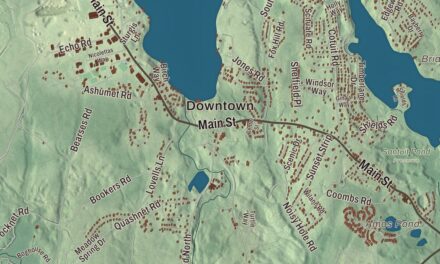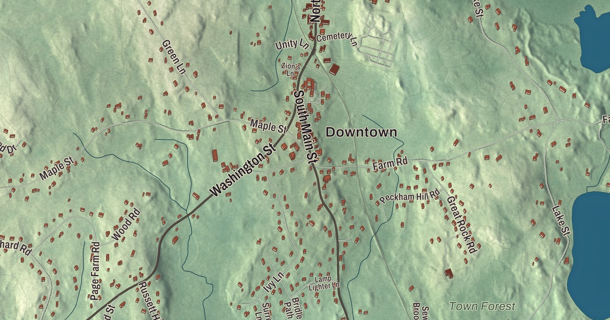
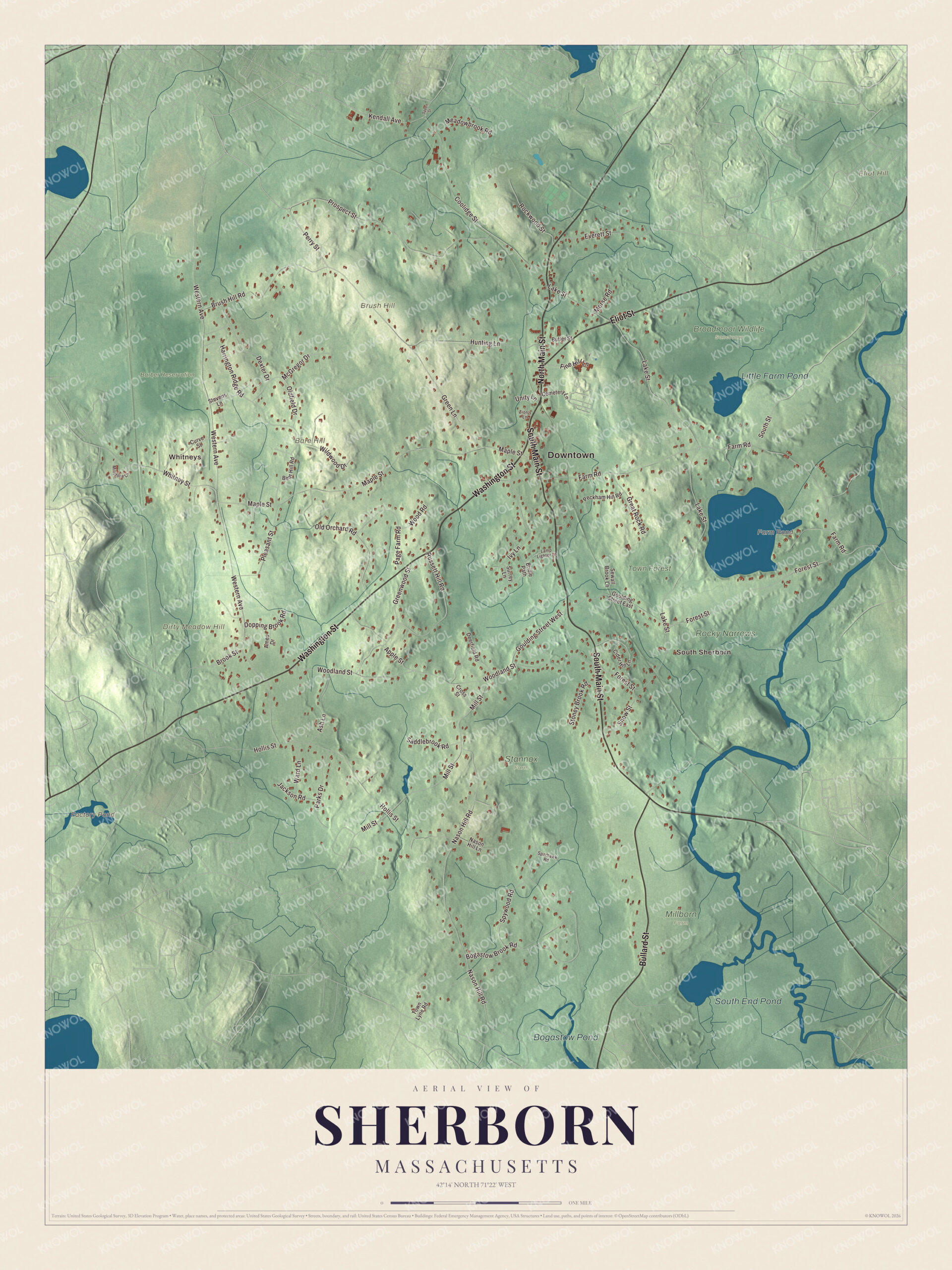
Sherborn’s old center gathers around Washington Street, North Main Street and South Main Street, two 1830s churches and a town hall, and this map spreads the MetroWest town out from Whitneys to South Sherborn, with Eliot Street, Bullard Street, Perry Street and Farm Pond. Click here to purchase a print of this map for your wall.
Sherborn is in Middlesex County.
KNOWOL made this map in 2026 from public survey data and gave it the bearing of an old atlas. United States Geological Survey elevation data shapes the hills, and the roads and the town line come from the Census Bureau. Sherborn covers 16.2 square miles about 18 miles southwest of Boston, bordered by Dover, Natick, Framingham, Ashland, Holliston, Millis and Medfield. Only 0.2 square miles of it is water, and much of that is Farm Pond. The town shares its public school system with Dover, and Sherborn had 4,401 people at the 2020 census.
The first houses
The Town of Sherborn’s recorded history, in the Secretary of the Commonwealth’s list, dates European settlement to 1652, and Sherborn was incorporated as a town in 1674. The Morse-Barber House on Forest Street may have at its core a house of the early 1670s built by Joseph Morse, the son of one of the town’s first land grant holders, which would make it the oldest building in Sherborn. The town’s first religious services were held in Morse’s home until a meeting house went up in the 1680s, and the Barber family owned the place from the mid-1700s to the late 1800s. The town’s first cemetery was laid out in 1689. Sherborn stayed thinly settled until the Revolution.
Dowse’s Corner
Ebenezer Dowse settled in Sherborn after leaving Charlestown before the Battle of Bunker Hill in 1775. He started an early tannery in the low ground behind his house at Dowse’s Corner, the north end of today’s historic district on North Main Street, and his work began a cottage shoemaking trade that lasted into the early twentieth century. Members of his family built many of the Greek Revival houses there between about 1840 and 1860. The stretch of North Main Street between Eliot and Everett streets is now the Edward’s Plain-Dowse’s Corner Historic District. Its only stone building, at 53-55 North Main Street, went up in 1796 as Nathaniel Partridge’s factory for edged tools, and the Plain School of 1834 still stands nearby. A benefactor named William Bradford Homer Dowse gave the town the Tudor Revival Dowse Memorial Building in 1914 to house its library; it holds town offices now. He also paid for the Memory statue of 1924, the town’s memorial to its war dead.
Click to explore a larger preview. The digital watermark does not appear on printed maps.
Names on this map
These names are printed on this map.
Places: Downtown, Whitneys, South Sherborn, Bare Hill, Brush Hill, Dirty Meadow Hill, Eliot Hill, Factory Pond, Farm Pond, South End Pond, Little Farm Pond, Bogastow Pond, Barber Reservation, Broadmoor Wildlife Sanctuary, Millborn Farm, Rocky Narrows, Stannox Farm and Town Forest.
Streets and roads: Washington Street, South Main Street, North Main Street, Eliot Street, Bullard Street, Perry Street, Kendall Avenue, Western Avenue, Lake Street, Farm Road, Woodland Street, Forest Street.
More street names, A to Z
Ames Drive, Apple Street, Ash Lane, Bear Hill Road, Bogastow Brook Road, Bridle Path, Brook Street, Brush Hill Road, Butler Street, Cemetery Lane, Cider Hill Lane, Coolidge Street, Cross Street, Curve Street, Deerfield Road, Dexter Drive, Dopping Brook Road, Everett Street, Goulding Street East, Goulding Street West, Great Rock Road, Green Lane, Greenwood Street, Harrington Ridge Road, Hollis Street, Hunting Lane, Ivy Lane, Jackson Road, Lamp Lighter Lane, Maple Street, McGregor Drive, Meadowbrook Road, Millstone Drive, Mill Street, Morse Road, Nason Hill Lane, Nason Hill Road, Oldfield Drive, Old Orchard Road, Page Farm Road, Parks Drive, Peckham Hill Road, Pine Hill Lane, Pleasant Street, Prospect Street, Rockwood Street, Russett Hill Road, Saddlebrook Road, Sewall Brook Lane, Snow Street, South Street, Sparhawk Road, Speen Street, Spywood Road, Stevens Lane, Stoney Brook Road, Surrey Lane, Town Lyne Road, Unity Lane, Ward Lane, Whitney Street, Wildwood Drive, Wood Road, Zion's Lane.
Around the map
Start with Whitneys. Follow Washington Street, South Main Street, North Main Street, Eliot Street, Bullard Street and Perry Street across town. Then look outward toward South Sherborn. Factory Pond, Farm Pond, South End Pond, Little Farm Pond, Barber Reservation, Town Forest, Bare Hill, Brush Hill and Dirty Meadow Hill are all printed on the map. The Sherborn Center Historic District, bounded in part by Washington and North Main streets, holds the civic heart of the town. The Pilgrim Church at 25 South Main Street and the First Parish Church at 11 Washington Street were both first built around 1830, and the Italianate Town Hall on Sanger Street is a rare unaltered work by the Worcester architects Boyden & Ball. The older part of the Flagg House at 22 Washington Street, from about 1740, is the only building in the center from before 1750. Out on Forest Street, Assington, built in 1929 and 1930 for George and Muriel Saltonstall Lewis, was the last and grandest estate built in town, with an allee from its lawn down to the Charles River; the Lewises gave its riverfront to The Trustees of Reservations, and it’s now part of the Rocky Narrows Reservation.
The Sherborn map makes a fine addition to an office, library or den, and it can help teach children the geography and history of a small MetroWest town. It’s made for people who call Sherborn home, from Whitneys to South Sherborn, and it shows the town as it looks today. Zoom in on the preview above to explore the details, then click here to get your copy of the Sherborn, Massachusetts map.

We made a map for every town and city in Massachusetts. Explore the complete Massachusetts map collection and find your town.
Sources
- Sherborn, Massachusetts, Wikipedia
- Sherborn Center Historic District, Wikipedia
- Edward’s Plain-Dowse’s Corner Historic District, Wikipedia
- Morse-Barber House, Wikipedia
- Assington (Sherborn, Massachusetts), Wikipedia
- City and Town Incorporation and Settlement Dates, Secretary of the Commonwealth of Massachusetts (archived copy)