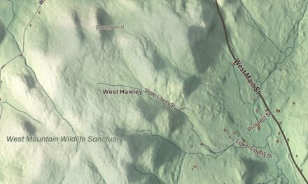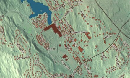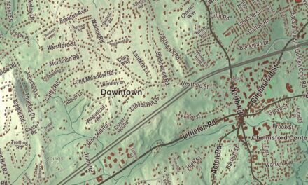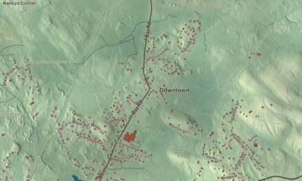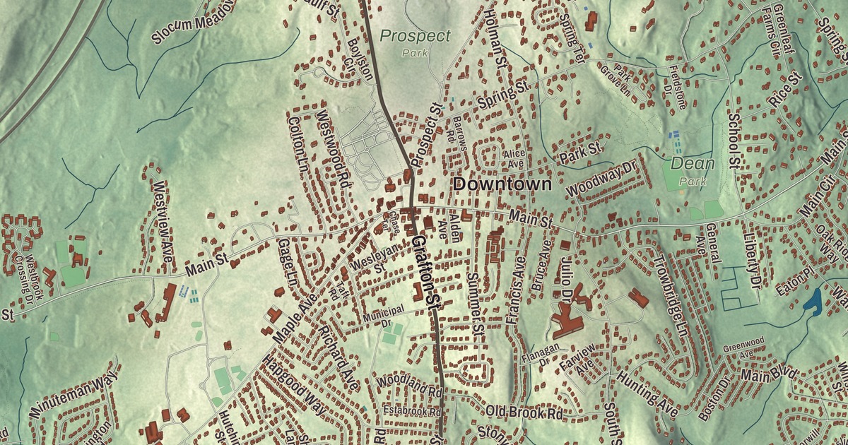
Lake Quinsigamond runs along Shrewsbury’s western edge, and this map follows the town from there over Boston Hill, Bartlett Hill and Barnard Hill, out along Boylston Street, Grafton Street and Memorial Drive to Flint Pond, Edgemere and South Shrewsbury. Click here to purchase a print of this map for your wall.
Shrewsbury is in Worcester County.
KNOWOL made this map in 2026 from public survey data, laid out in the manner of an old county atlas. The hills take their shape from United States Geological Survey elevation data, and the roads and the town line come from the Census Bureau. Shrewsbury covers 21.6 square miles just east of Worcester, and 0.9 square miles of that are water. The town is named for Shrewsbury in England, and its ground is uneven and hilly, cut by small streams that gave early settlers a few modest mill sites. It had 38,325 people at the 2020 census.
Haynes Farm to a town
Land grants in what became Shrewsbury began in 1664, and the largest was a 3,200-acre tract called Haynes Farm. In the 1660s the Nipmuc leader Peter Jethro and other Nipmuc people deeded land around Lake Quinsigamond to settlers. Most of the families who came later were from Sudbury and Marlborough, and Gersham Wheelock, the first permanent settler, arrived in 1720. The Town of Shrewsbury’s recorded history, in the Secretary of the Commonwealth’s list, dates European settlement to 1722, and Shrewsbury was incorporated as a town in 1727. The town common was laid out in 1721 beside one of the Boston Post Roads, which is Main Street today. Farmers planted apple orchards, and by 1750 the town had two stores and four taverns.
Artemas Ward was born in Shrewsbury in 1727 and opened a general store here after Harvard. When the colony set up its Committee of Safety, one of its first acts was to name him general and commander-in-chief of its militia, and after Lexington and Concord he first directed the Siege of Boston from his sickbed in Shrewsbury. His house at 786 Main Street was built by his father, Nahum, in 1727, and Ward lived there from 1763 until he died in 1800; he’s buried in the town’s Mountain View Cemetery. His family gave the house to Harvard University in 1925, and Harvard keeps it as a museum open for limited hours in summer. A milestone from the old Post Road still stands across Main Street on the Dean Park side.
Leather, clocks and the lake
A leather industry started in 1786, and farmers raised large cattle herds for the boot and shoe trade. Gunsmiths followed in 1797, making rifles, shotguns and pistols and later cutlery, and in 1809 Luther Goddard began making brass clocks before he opened a small watch factory with a few skilled Swiss and English watchmakers. Sawmills drew chair and cabinet makers and plow and wagon builders. With no large water power sites and a railroad that came late, the town’s industry faded and its role as a suburb of Worcester grew, while streetcar lines filled it with single-family houses. Its population doubled between 1915 and 1940.
Lake Quinsigamond, also called Long Pond, lies between Worcester and Shrewsbury. It’s 4 miles long and holds eight islands. Summer visitors to the lake bought produce from the town’s market gardens, and Horace H. Bigelow opened the White City amusement park on the Shrewsbury shore in 1905. It shut down on Labor Day in 1960, and a shopping center there still carries the White City name. Rowing crews first came to the lake in 1857, and it has hosted the Eastern Sprints and the National Olympic rowing trials of 1952.
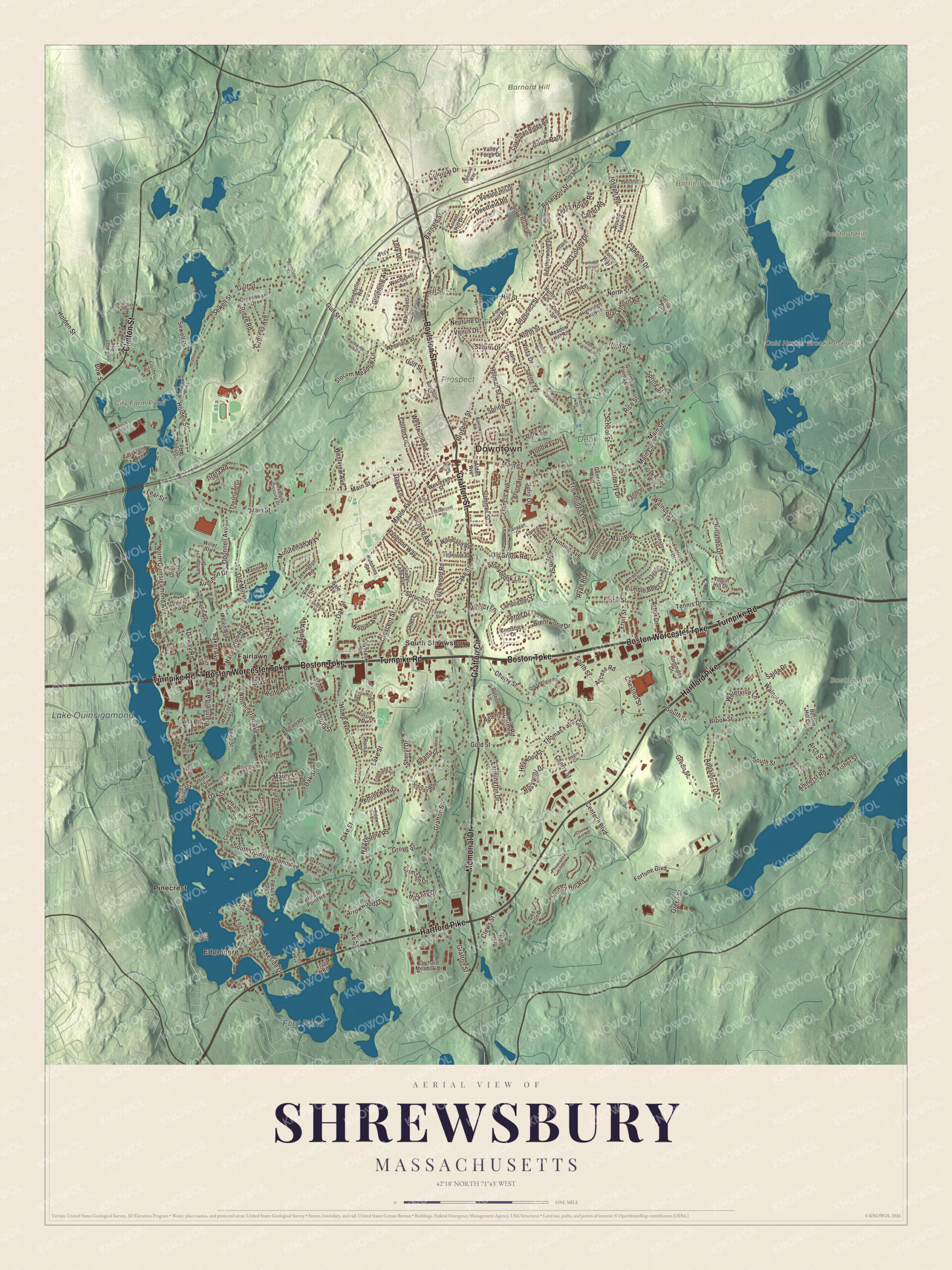
Click to explore a larger preview. The digital watermark does not appear on printed maps.
Names on this map
These names are printed on this map.
Places: Downtown, Edgemere, Barnard Hill, Bartlett Hill, Boston Hill, Chestnut Hill, City Farm Pond, Cold Harbor Brook Reservoir, Lake Quinsigamond, Flint Pond, Dean Park, Mill Pond, Prospect Park, Fairlawn, Pinecrest and South Shrewsbury.
Streets and roads: Hartford Pike, Boylston Street, Memorial Drive, Grafton Street, Grafton Circle, Clinton Street, Boston Worcester Turnpike, Turnpike Road, Boston Turnpike, Main Street, Prospect Street, Barnard Street.
More street names, A to Z
Access Road, Adams Drive, Adams Farm Road, Adin Drive, Alden Avenue, Alice Avenue, Amherst Road, Appaloosa Drive, Arbor Drive, Arch Street, Arrowwood Drive, Audubon Drive, Avon Avenue, Baker Avenue, Baldwin Circle, Bannister Street, Barrows Road, Bay Road, Beacon Street, Berkshire Road, Beverly Hill Drive, Birch Brush Road, Birch Lane, Blackthorn Road, Bluegrass Lane, Boston Drive, Boston Hill Circle, Bowditch Drive, Bow Street, Boylston Circle, Brentwood Drive, Bridle Path, Brooklawn Parkway, Brook Street, Browning Avenue, Bruce Avenue, Bumble Bee Circle, Camelot Drive, Candlewood Way, Carter Road, Cedar Road, Centech Boulevard, Chase Terrace, Cherry Hill Road, Cherry Street, Chestnut Street, Clews Street, Cliff Street, Coachman Ridge Road, Colonial Drive, Colonial Way, Colton Lane, Commons Drive, Comstock Drive, Country Way, Crescent Street, Crimson Drive, Crosby Street, Cross Street, Cypress Avenue, Davis Way, Deerfield Road, Deer Run Drive, Dewey Road, Eaton Avenue, Eaton Place, Edgemere Boulevard, Edgemont Road, Edgewood Road, Elm Street, Estabrook Road, Farmington Drive, Farview Avenue, Fieldstone Drive, First Avenue, Fisher Street, Flagg Road, Flanagan Drive, Flintlock Drive, Floral Street, Forest Avenue, Forest Hill Drive, Fortune Boulevard, Fox Hill Road, Francis Avenue, Fruit Street, Gage Lane, Gale Avenue, General Avenue, Glendale Avenue, Glen Gery Road, Gold Street, Grace Avenue, Greenbriar Drive, Greenleaf Farms Circle, Green Street, Greenwood Avenue, Grove Street, Gulf Street, Hancock Street, Hapgood Way, Harriet Avenue, Harrington Avenue, Hawthorne Road, Heatherwood Drive, Heath Road, Hemingway Street, Heywood Street, Hickory Drive, Highridge Road, High Street, Hillando Drive, Hillside Drive, Hill Street, Holden Street, Holman Street, Holt Street, Howe Avenue, Hunter Circle, Hunting Avenue, Hutchins Street, Ireta Road, Jamie Lane, Jane Street, Janet Circle, John Street, Jordan Road, Joseph Road, Joyce Circle, Julio Drive, Kalamat Farms Circle, Kemble Drive, Kenda Road, Keyes House Road, Kings Point Drive, Ladyslipper Drive, Lakeside Drive, Lake Street, Lamplighter Drive, Lancelot Road, Lantern Lane, Latura Street, Lear Street, Lexington Road, Liberty Drive, Longfellow Road, Main Boulevard, Main Circle, Manor Road, Maple Avenue, Maury Lane, May Street, Meadow Hill Road, Melody Lane, Melvin Avenue, Mercury Drive, Minuteman Way, Municipal Drive, Myriah Road, Nelson Point Road, Neptune Drive, North Quinsigamond Avenue, North Street, Oak Avenue, Oakland Avenue, Oak Ridge Way, Oak Street, Odonnell Avenue, Old Brook Road, Olde Colony Drive, Old Faith Road, Old Laxfield Road, Old Mill Road, Orchard Meadow Drive, Oriole Circle, Overlook Avenue, Parker Road, Park Grove Lane, Park Street, Parmenter Hill Road, Partridge Hill Road, Patriot Lane, Pheasant Hill Drive, Phillips Avenue, Plainfield Avenue, Ptarmigan Drive, Rawson Hill Drive, Redland Street, Reed Street, Reservoir Street, Rice Street, Richard Avenue, Ridge Road, Rockwell Drive, Rolfe Avenue, Rolling Hill Road, Roman Drive, Round Table Road, Ryan Road, Sajda Drive, Sandpiper Drive, Saturn Drive, Saxon Lane, Saybrook Road, School Street, Seton Drive, Settlers Road, Sewell Drive, Sewell Street, Shady Lane Avenue, Sheryl Drive, Shirley Road, Sias Avenue, Sinclair Road, Slocum Meadow Lane, South Quinsigamond Avenue, South Street, Spring Street, Spring Terrace, Spruce Street, Stone Avenue, Stoney Hill Road, Stonybrook Lane, Summer Street, Taft Road, Tanager Drive, Tavern Street, Tennis Drive, Thestland Drive, Thomas Farm Circle, Toblin Hill Drive, Topsfield Circle, Tory Drive, Tory Lane, Travis Road, Trowbridge Lane, Valley Forge Drive, Venus Drive, View Street, Villa Road, Vinnie Way, Vista Drive, Wachusett Avenue, Wachusett Circle, Walnut Street, Waterville Lane, Wesleyan Street, Westbrook Crossing Drive, Westview Avenue, Westwood Road, Wheelock Street, Whippoorwill Drive, Whitehall Circle, Willet Drive, Winslow Street, Woodland Road, Woodway Drive, Worthington Avenue.
See it on a wall
The Shrewsbury map as a framed print. Swipe for more.


Around the map
Start with Edgemere. Follow Boylston Street, Memorial Drive, Grafton Street, Grafton Circle, Clinton Street and the Boston Worcester Turnpike across town. Then look outward toward Fairlawn, Pinecrest and South Shrewsbury. City Farm Pond, Cold Harbor Brook Reservoir, Lake Quinsigamond, Flint Pond, Barnard Hill, Bartlett Hill and Boston Hill are all printed on the map. Where Boylston and Grafton streets meet the common, the Shrewsbury Historic District gathers around the First Congregational Church of 1766, built with materials saved from the first meetinghouse of 1722 on the same site. Nearby are a brick schoolhouse of 1830, which now holds town offices and the historical society, and the Renaissance Revival library of 1903 at Main and Grafton streets.
Out on Old Mill Road, the brick District No. 5 School of 1828 is one of the oldest surviving school buildings in the state, and the historical society runs it as a museum. Hebert Candies moved into a Tudor stone mansion on Route 20 in 1946, and the company says that made it the first roadside confectioner in the United States; in 1956 it was the first to bring white chocolate to the country. The combined oral contraceptive pill was first developed at the Worcester Foundation for Experimental Biology in Shrewsbury, whose campus is now a conference center of the University of Massachusetts Medical School. Since the late twentieth century, many families from South Asia, especially India, have made their homes here.
The Shrewsbury map makes a handsome addition to an office, library or den, and it can help teach children the geography and history of the town around Lake Quinsigamond. It’s made for people who call Shrewsbury home, from Edgemere to South Shrewsbury, and it shows the town as it looks today. Zoom in on the preview above to explore the details, then click here to get your copy of the Shrewsbury, Massachusetts map.

Sources
- Shrewsbury, Massachusetts, Wikipedia
- Shrewsbury Historic District (Shrewsbury, Massachusetts), Wikipedia
- Artemas Ward, Wikipedia
- General Artemas Ward House, Wikipedia
- Lake Quinsigamond, Wikipedia
- District No. 5 School (Shrewsbury, Massachusetts), Wikipedia
- Hebert Candies, Wikipedia
- City and Town Incorporation and Settlement Dates, Secretary of the Commonwealth of Massachusetts (archived copy)