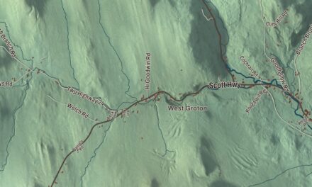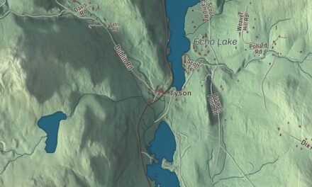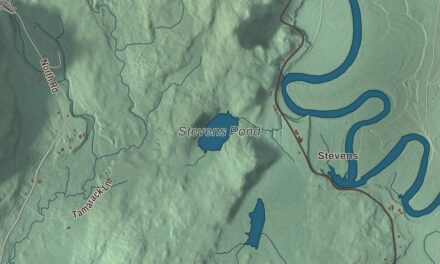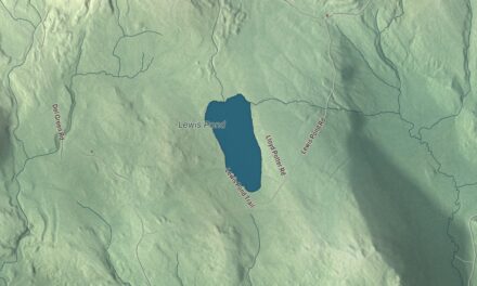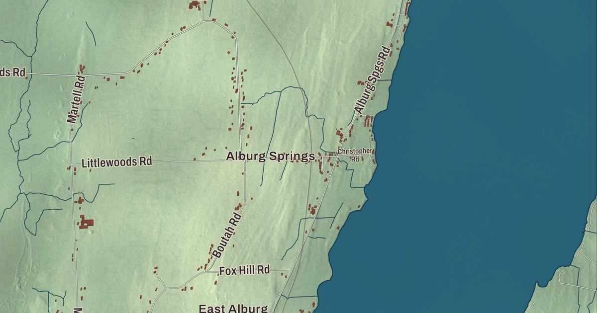
If you’re from Alburgh, you know the town’s odd shape: a peninsula reaching down from Canada into Lake Champlain. This map prints Alburg Springs and East Alburg, South Alburg and Alburg Center, Eagle Pond, the Richelieu River and the lake, along with Border Road, Line Road and South Main Street and North Main Street.
Alburgh is in Grand Isle County, on the Canadian border.
KNOWOL made this map in 2026 from public survey data and gave it the look of an old atlas. The shaded terrain comes from United States Geological Survey elevation data, and the roads and the town line come from the Census Bureau, from Greenwoods Road to Boutah Road. Of the town’s 47.5 square miles, 18.4 are water, and Alburgh had 2,106 people at the 2020 census, 571 of them in the village. Click here to purchase a print of this map for your wall.
The Alburgh Tongue
The French claimed this land first. In 1733 French officials granted a seigneury between Missisquoi Bay and the Chambly River, now the Richelieu, to François Foucault, and in 1744 his grant was extended over the whole peninsula. The few settlers who came didn’t stay, though, and by 1747 the peninsula had no European settlers left. After the French and Indian War the land passed to the British, and in 1774 it was leased to Colonel Henry Caldwell.
Alburgh was chartered on February 23, 1781, by Ira Allen and 64 others. Allen, a younger brother of Ethan Allen and one of the founders of Vermont, paid for the charter, and the name probably comes from “Allensburgh.” That same year he sat on the commission that settled the boundary with New York and placed the peninsula in Vermont, and when the Canadian border was fixed at the 45th parallel in 1783, the Vermont claim was no longer in doubt.
The town has spelled its name two ways. In 1891 the United States Board on Geographic Names recommended dropping the “h” from place names ending in “-burgh,” and the town became Alburg; the village took that spelling when it incorporated in 1917. In April 2006, after a town meeting vote, the Vermont Department of Libraries, the state’s authority on place names, approved the return to Alburgh, and the village went back to the old spelling too. The map’s village labels, Alburg Springs, East Alburg, South Alburg and Alburg Center, keep the shorter form. Barbour Lewis, born in Alburgh in 1818, served as a Union captain in the Civil War and later represented Tennessee in Congress.
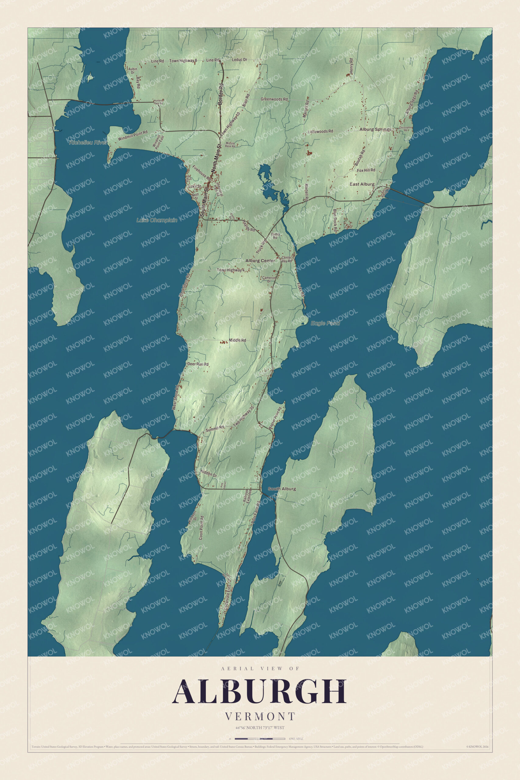
Click to explore a larger preview. The digital watermark does not appear on printed maps.
Names on this map
These names are printed on this map.
Places: Alburg Springs, East Alburg, South Alburg, Richelieu River, Eagle Pond, Lake Champlain and Alburg Center.
Streets and roads: Border Road, South Main Street, North Main Street, Greenwoods Road, Town Highway 10, Boutah Road, Line Road, Blair Road, Coon Point Road, West Shore Road, Alburg Spgs Road, Poor Farm Road.
More street names, A to Z
Aubin Drive, Baker Street, Bay Road, Blue Rock Road, Cameron Drive, Cedarvale Ests, Center Bay Road, Christopher Road, Creller Road, Deer Run Road, Dump Road, East Alburg Road, Firehouse Road, Fiske Road, Fox Hill Road, Haylde Road, Henry Road, Hidden Drive, Hunters Farm Road, Industrial Park Road, Killdeer Drive, Lake Street, Leduc Drive, Littlewoods Road, Martell Road, Middle Road, Missile Base Road, Mott Street, Pine Tree Lane, Railroad Extended, Sand Beach Road, Summit Road, Town Highway 4, Town Highway 8, Truck Route, Twp Highway 35, Wagner Point Road, Windmill Point East, Windmill Point Road.
See it on a wall
The Alburgh map as a framed print. Swipe for more.


A town surrounded by water
Alburgh’s page counts it as one of only six places in the lower 48 states, apart from islands, that aren’t connected to the rest of the country by land. Bridges solve that: U.S. Route 2 crosses the lake to Rouses Point, New York, and other bridges lead to Swanton and to North Hero island, so in practice it’s no exclave. The town sits on the only road route across Lake Champlain to New York north of Addison. Alburgh village is on Route 2 on the lake’s eastern shore, about 2.5 miles south of the border, and Burlington is 46 miles south.
The Richelieu River is printed on the map. It begins at the north end of Lake Champlain and flows north through Quebec to the St. Lawrence, and the French once called it the Chambly River. At Alburg Springs, a road crosses into Clarenceville, Quebec. The United States border station there is a two-story brick building from 1937, with a porch roof spanning the southbound lane. It was one of seven such stations built on the Canadian border, its page says it’s one of two that survive with only modest change, and it was listed on the National Register of Historic Places in 2014. East Alburg, also called Alburg Junction, was once where two railroads met.
Alburgh Dunes State Park, on the lake shore, takes its name from the sand dunes near the center and western end of its beach, which its page calls one of the lake’s largest. A path runs between the dunes and the wetlands, and the Charles E. Smith Natural Area protects the rare plants that grow there. Eagle Pond, Border Road, Line Road, Greenwoods Road and Boutah Road are printed on the map as well.
This Alburgh map is a handsome addition to an office, library or den, and it can even help teach children the geography and history of a town on a peninsula in Lake Champlain. It’s made for anyone who calls Alburgh home, from Alburg Springs to the dunes. KNOWOL created it in 2026, and it’s printed on museum quality archival paper. Zoom in on the preview above to explore the details, then click here to get your copy of the Alburgh, Vermont map.

Sources