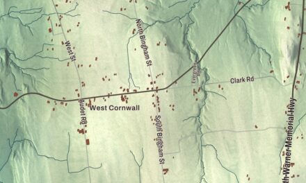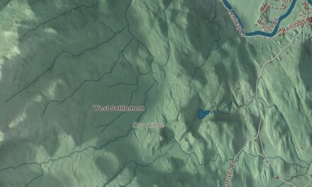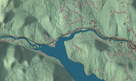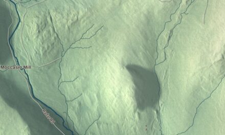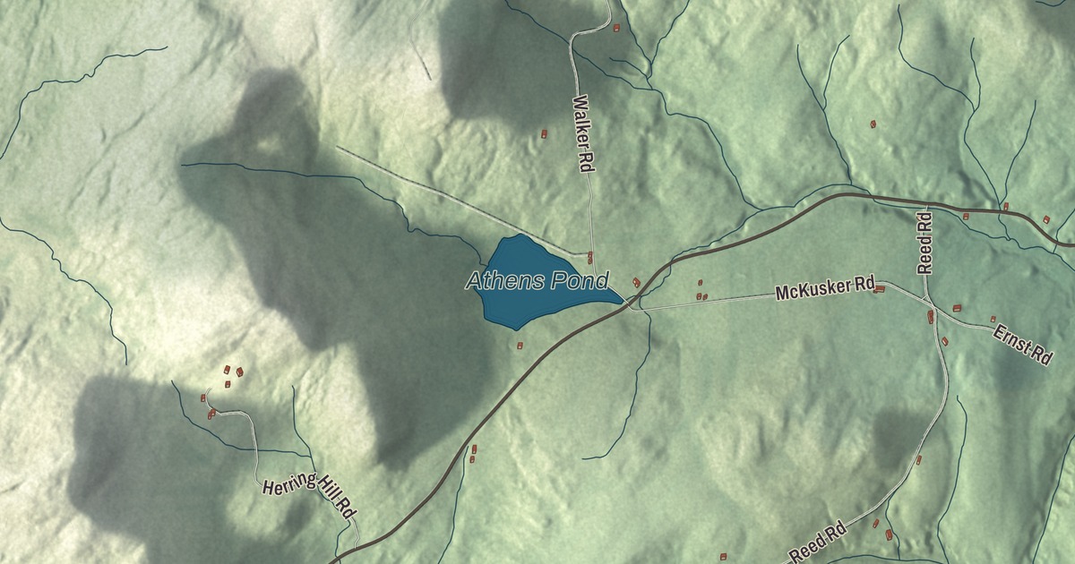
In Athens, the town office and the community center are neighbors on Brookline Road. This map prints Athens Pond, along with Brookline Road, Ledge Road, Sam Farr Road, Miller Road, Reed Road and Valley Cemetery Road.
Athens is in Windham County, and its name is said either ATH-inz or AY-thinz.
KNOWOL made this map in 2026 from public survey data and gave it the look of an old atlas. The shaded terrain comes from United States Geological Survey elevation data, and the roads and the town line come from the Census Bureau. The whole town covers 13.1 square miles, almost all of it land, and Athens had 380 people at the 2020 census. Click here to purchase a print of this map for your wall.
Four feet of snow and a log hut
Athens was granted on March 11, 1780, and chartered on May 3 that year to Solomon Harvey, John Morse, Jonathan Perham and their associates. The Vermont Historical Gazetteer’s 1891 volume on Windham County tells how it began. A few men cleared some acres and put up a log hut in the fall of 1779, but all of them left. On February 25, 1780, Jonathan Perham and Ephraim Holden brought their families from Rindge, New Hampshire, with Seth Oak’s family close behind from Winchendon. The snow was four feet deep, and they broke their own path for eight miles through the woods, bringing only a small yoke of oxen; the women all moved into the hut the first men had built. That May, Mrs. Oak gave birth to a daughter, the first child born in Athens. Samuel Bagley and Micah Read arrived the same month and built a sawmill that summer and a gristmill the next year, and the proprietors paid them with 168 acres near the center of town.
The gazetteer also tells of a scare that November, when two men working in a far corner of town heard shouting, took it for a raid, and spread the alarm; word raced through the neighboring towns that Athens had been destroyed, and some men sat up all night readying their guns. It was only a hunter hallooing. The town was organized on March 4, 1781.
The Old Brick Church
The Methodist Society of Athens, founded in 1801, built the Old Brick Church in 1817, the first church built for the Methodists of its circuit. It’s a modest Federal style building of brick, laid in Flemish bond, with a square tower, and it stands off Route 35, Athens Road, near Mill Hill Road, southwest of the town center. It once had box pews and a high pulpit, but by the late 1850s the center of Athens had moved northeast, a new Methodist church went up there, and the old building was remade, with a second floor added as a hall for town meetings. The town took it over in 1951 and held town meetings there into the 1970s, and it was listed on the National Register of Historic Places in 1979.
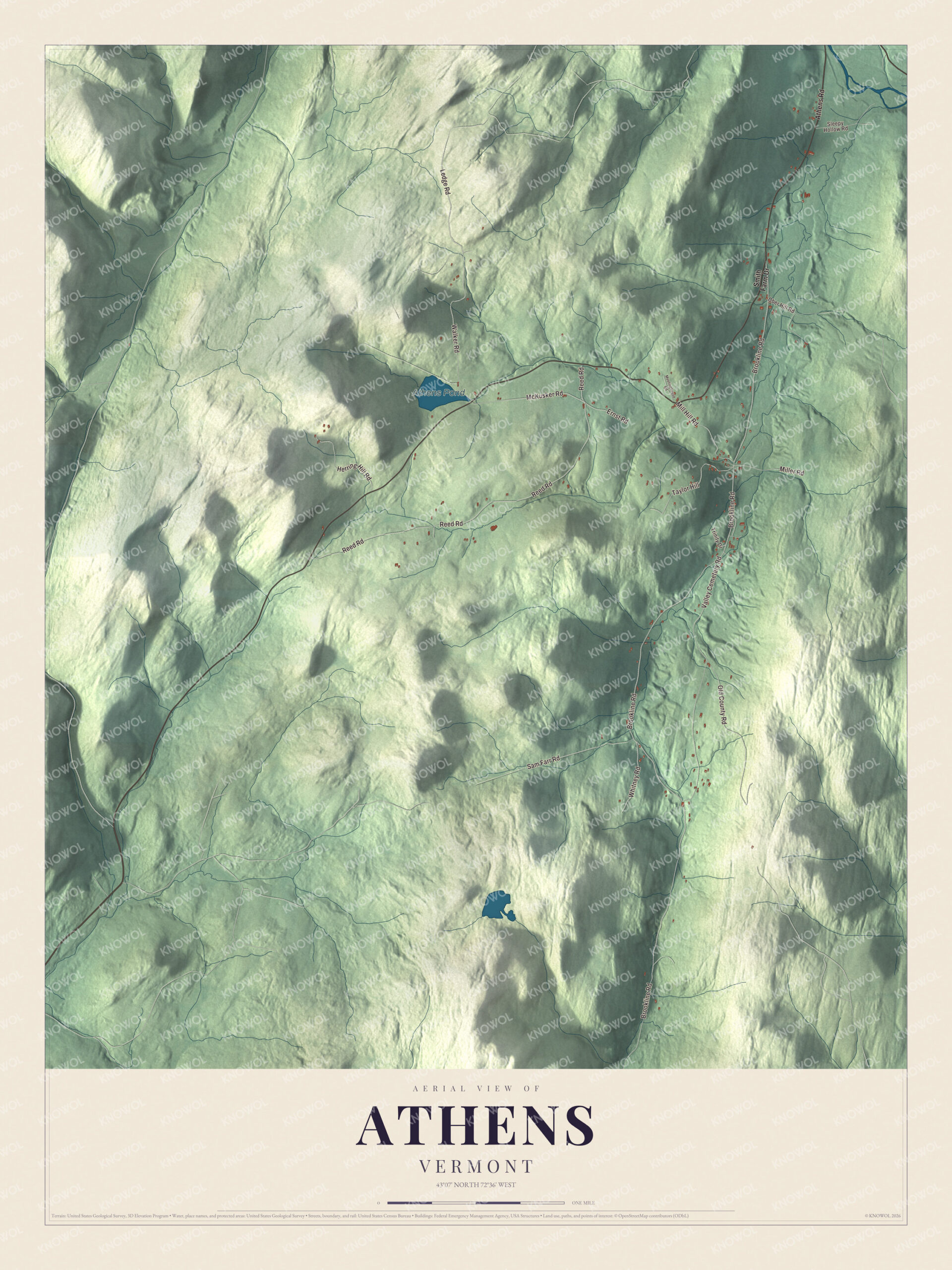
Click to explore a larger preview. The digital watermark does not appear on printed maps.
Names on this map
These names are printed on this map.
Places: Athens Pond.
Streets and roads: Ledge Road, Brookline Road, Sam Farr Road, Miller Road, Reed Road, Valley Cemetery Road, Old County Road, Walker Road, McKusker Road, Herring Hill Road, Mill Hill Road, Taylor Hill.
More street names, A to Z
Athens Road, Ernst Road, Meetinghouse Road, Ober Hill Road, Sleepy Hollow Road, Smith Farm Drive, Trinity Drive, Whitney Road.
See it on a wall
The Athens map as a framed print. Swipe for more.


Brookline Road and beyond
The former Athens Elementary School, at 28 Brookline Road, now serves as the town’s community center, and the town office is just down the road at 25 Brookline Road; the town’s page says Athens is looking at a renovation that would move the town office into the old school. James McMillan Shafter was born in Athens in 1816. He became Vermont’s 13th Secretary of State, then moved west, serving as speaker of the Wisconsin State Assembly in 1852 and later as a California state senator and superior court judge. In 2024, Athens voted to allow the sale of alcohol, which left neighboring Baltimore, by its page’s count, as the only dry town in Vermont. Ledge Road, Sam Farr Road, Miller Road, Reed Road and Valley Cemetery Road are printed on the map, along with Athens Pond.
This Athens map makes a fine addition to an office, library or den, and it can even help teach children the geography and history of a small town settled in deep snow. It’s made for anyone who calls Athens home, from Brookline Road to Athens Pond. KNOWOL created it in 2026, and it’s printed on museum quality archival paper. Zoom in on the preview above to explore the details, then click here to get your copy of the Athens, Vermont map.

Sources