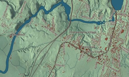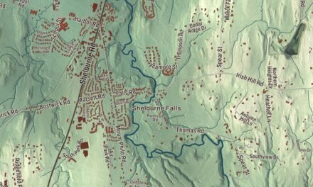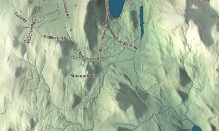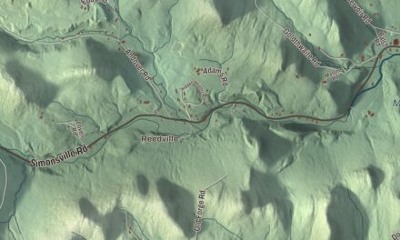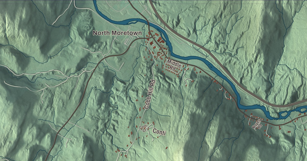
Moretown follows the Mad River north through farm fields and forested hills toward the Winooski, with its villages and neighborhoods spread out across the town. This map prints River Road, Moretown Mountain Road, Cobb Hill Road, South Hill Road, Herring Brook Road and Ward Brook Road, with North Moretown and the Mad River.
Moretown is a town in Washington County, Vermont.
KNOWOL made this map in 2026 from public survey data and gave it the look of an old county atlas, shading the hills from United States Geological Survey elevation data and drawing the roads and town line from the Census Bureau. The town covers 40.2 square miles, and 1,753 people lived here at the 2020 census. Click here to purchase a print of this map for your wall.
A town drawn sight unseen
People lived along this valley long before any charter. A fluted projectile point found near South Hill Road, dated to about 9,000 BCE, shows that people were here some 11,000 years ago. Moretown was one of 36 towns New Hampshire’s governor Benning Wentworth chartered in 1763, and its grant is dated June 7. Those charters were drawn without anyone seeing the land, so the town lines cut straight across mountains, valleys and rivers, and Moretown ended up with several separate villages and neighborhoods instead of one center like Waitsfield or Waterbury. Nobody knows anymore why it’s called Moretown. It may honor the Morehouse family, among the first settlers, or it may have been named when someone realized there was one more town still waiting for a name. Bradford, Vermont, carried the name Mooretown from 1770 to 1788, before it took its present one.
No one settled here for the first 17 years. The first settlers came around 1790 to the North Moretown area, also called Duxbury Corners, and the first town meeting met on March 9, 1792, at Joseph Haseltine’s house. Town meetings later moved to Moretown Common and then, in 1832, to Moretown Village, where a town hall was finished that year and where they’re still held. The town belonged to Chittenden County until Washington County was organized in 1811. Cephas Carpenter, who helped establish Moretown, kept a store and served as a militia colonel, represented the town from 1805 to 1808. The Legislature’s records note that Roswell Smith, who represented Moretown in 1800, reached the greatest age of anyone named in their lists.
Lumber, the Ward mills and talc
Lumber drove Moretown’s early growth, with the Mad River and the Winooski giving it power and transportation. Nearly 50 years of logging and sheep farming cleared huge stretches of the old forest, and the stone walls of the hill farms still run through the woods. By the 1860s the town had two general stores, three blacksmith shops, a hotel, a harness shop, a door and window maker, a box factory, two carriage and sleigh shops, a dressmaker, two milliners, a goldsmith and a tinsmith. The population peaked at 1,410 in 1860. After the Civil War, dairying took a bigger place, and many hill farmers moved west for better land.
In the 1870s the Ward family started a lumber and milling business that was the town’s main employer for many decades. Its two plants, the Upper Mill and the Lower Mill, made boxes, clapboards and furniture parts; the larger Upper Mill burned in 1955. Moretown first generated electricity in 1895, though many households couldn’t use it for decades, and the Jones Brook schoolhouse got power only in 1951. In 1913 a talc processing plant went up on 125 acres in North Moretown, and the old building still stands as a town landmark. The first stretch of Interstate 89, from Montpelier to Waterbury, opened in 1960.
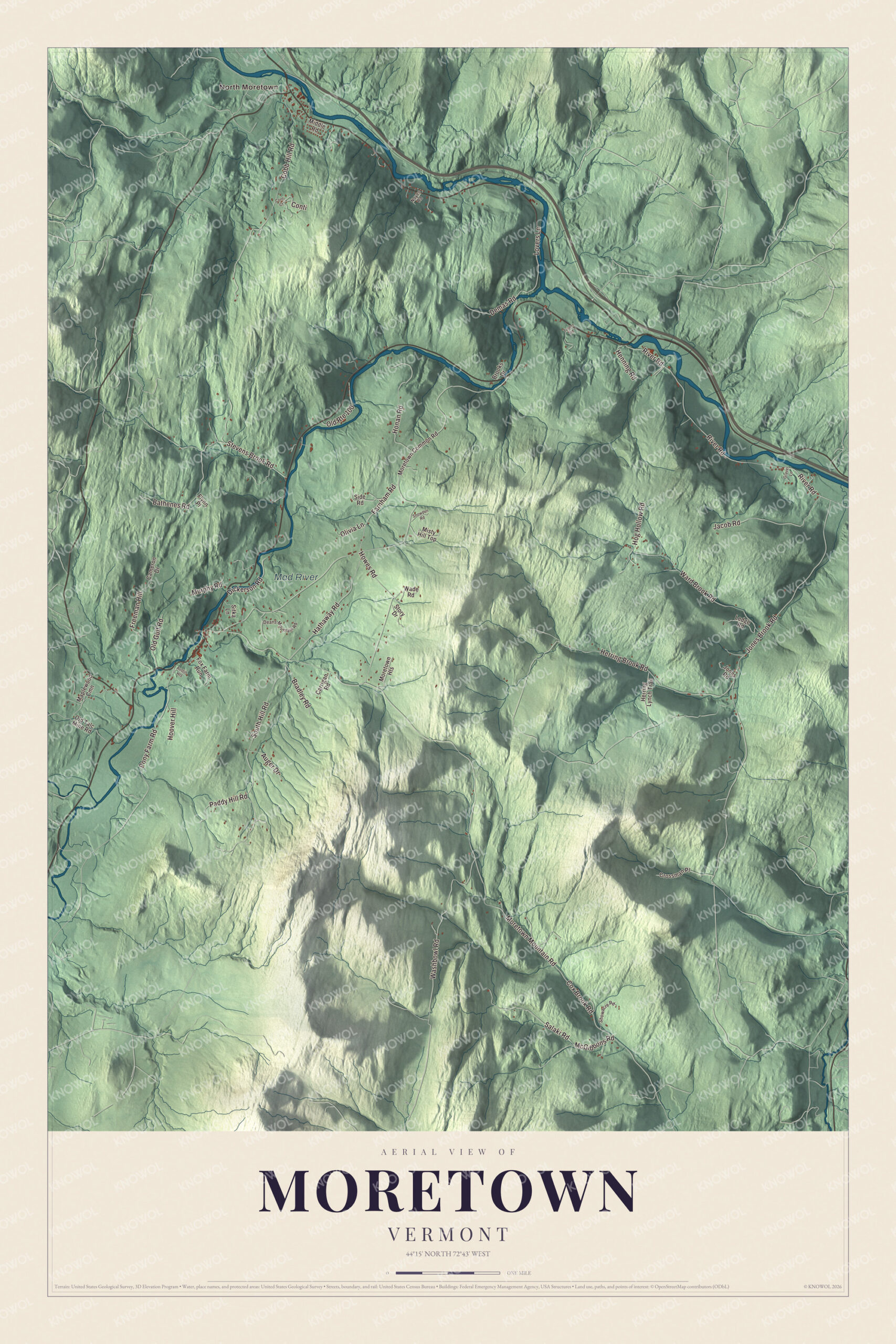
Click to explore a larger preview. The digital watermark does not appear on printed maps.
Names on this map
These names are printed on this map.
Places: North Moretown and Mad River.
Streets and roads: River Road, Moretown Mountain Road, Cobb Hill Road, South Hill Road, Herring Brook Road, Ward Brook Road, Jones Brook Road, Howes Road, Washbowl Road, Stevens Brook Road, Hathaway Road, Jacob Road.
More street names, A to Z
Auger Drive, Austin Heights, Bathenes Road, Bradley Road, Brooks Drive, Cameron Drive, Carrigan Road, Conti, Conti Court, Cox Brook Road, Crossman Place, Deans Mountain Road, Demas Road, Dickerson Road, Farnham Road, Flynn Place, Fox Farm Run, Freeman Hill, Gravel Lane, Henning Road, Herring Lynch Trail, Hog Hollow Road, Honan Road, Hoover Hill, Jones Road, Ledge Road, Lovers Lane, Maplewood Cmn, McGibbons Road, Middle Road, Misty Hill Top, Moretown Common Road, Moretown Heights, Murphy Road, Noyes Road, Old Gulf Road, Old Route 100, Old Talc Mine Road, Olivia Lane, Paddy Hill Road, Pony Farm Road, Salaki Road, Showacre Road, Side Road, Sitka Lane, Snowden Road, Story Drive, Turner Road, Wade Road.
See it on a wall
The Moretown map as a framed print. Swipe for more.


The Mad River valley
The Mad River rises in Granville Gulf and flows north through Warren, Waitsfield and Moretown to meet the Winooski just downstream from Middlesex. It’s a rocky, clear river and a popular place to swim. In southern Moretown and northern Waitsfield, the Mad River Valley Rural Historic District takes in some 1,400 acres of bottom land on both sides of the river, farmed since the late 1700s and still holding farmsteads from the middle of the 1800s. Its northern edge is roughly Downsville Brook in Moretown. The Mad River Turnpike opened through the valley in 1807, and it’s now Route 100 and Route 100B, which branches off Route 100 in Moretown. Valley farmers raised cattle and Morgan horses by the middle of the 1800s and later turned to butter. Each year, usually in September, the town holds Morefest, with vendors, a car show and fireworks.
Moretown people
Matthew H. Carpenter, Cephas Carpenter’s grandson, was born in Moretown in 1824 and went on to represent Wisconsin in the United States Senate from 1869 to 1875 and again from 1879 until 1881. Harvey Clapp, born here in 1817, moved to Wisconsin Territory, farmed at Hudson and served in the Wisconsin State Assembly in 1874.
On the map, start at North Moretown, then follow River Road, Moretown Mountain Road, Cobb Hill Road, South Hill Road, Herring Brook Road and Ward Brook Road. The Mad River is printed. Moretown dates to 1763.
This map of Moretown is made for everyone who calls Moretown home, and it shows the town as it looks today, from North Moretown up the Mad River valley. Hang it in an office, library or den, or use it to teach children the geography and history of their town. It’s printed on museum quality archival paper. Zoom in on the preview above to explore the details, then click here to get your copy of the Moretown, Vermont map.

Sources