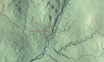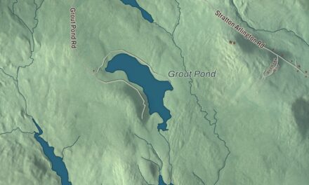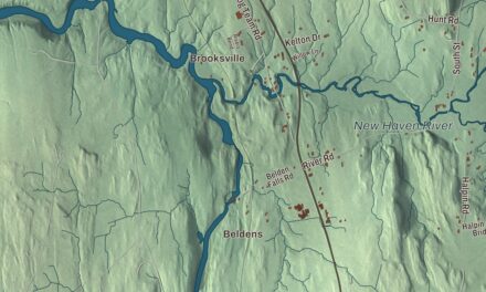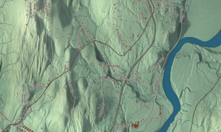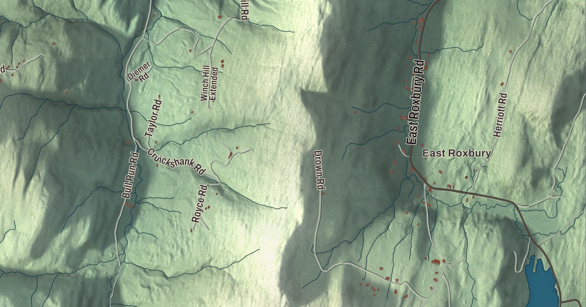
Roxbury is the southernmost town in Washington County, a heavily mountainous, forested town where Route 12A runs north and south and two rivers begin. This map prints Main Street, Roxbury Road, East Roxbury Road, Cram Hill Road, Steele Hill Road and West Hill Road, with East Roxbury and Beaver Pond.
Roxbury is a town in Washington County, Vermont.
KNOWOL made this map in 2026 from public survey data and gave it the look of an old county atlas, shading the hills from United States Geological Survey elevation data and drawing the roads and town line from the Census Bureau. The town covers 41.8 square miles, and 678 people lived here at the 2020 census. Click here to purchase a print of this map for your wall.
A hill town on the divide
The Vermont legislature granted Roxbury on November 6, 1780, and chartered it on August 6, 1781, to Benjamin Edwards and 64 others, though only 20 of them ever lived here. The name likely comes from Roxbury, Massachusetts, which later became part of Boston. Settlement began in 1789, the town organized in the 1790s, and in 1820 it moved from Orange County to Washington County. It grew steadily, from 113 people in 1800 to 1,060 in 1860, on the eve of the Civil War, when 94 Roxbury men served.
Roxbury sits on a divide. The headwaters of the Dog River flow north to the Winooski, and those of the White River flow south to the Connecticut, and the geographic center of Vermont lies three miles east of Roxbury village. More than twenty points in town rise above 2,000 feet, topped by Rice Mountain at 3,086 feet on the western line, and more than 85 percent of the land is forest. People here made their living from farming, logging, fishing and quarrying. Roxbury’s verde antique marble quarries opened in 1857 and ran until 1957, and talc mining was significant too.
The fish hatchery
The Roxbury Fish Hatchery opened in 1891 on Route 12A, on land given by E. H. Spaulding beside Flint Brook, a tributary of the White River. It’s the oldest state-run fish hatchery in Vermont. The site was chosen for its spring water and for the railroad next to it, which carried fish closer to the streams where they were released. Its 1891 hatchery building, a fish food building from about 1894 and an 1897 carriage barn still stand, along with a storage barn the Civilian Conservation Corps built in the 1930s, when the corps also added a raceway and barbecue pits for visitors. It drew up to 2,800 visitors each summer until flooding from Hurricane Irene badly damaged it in August 2011. The state is rebuilding it, and it produces brook trout and rainbow trout.
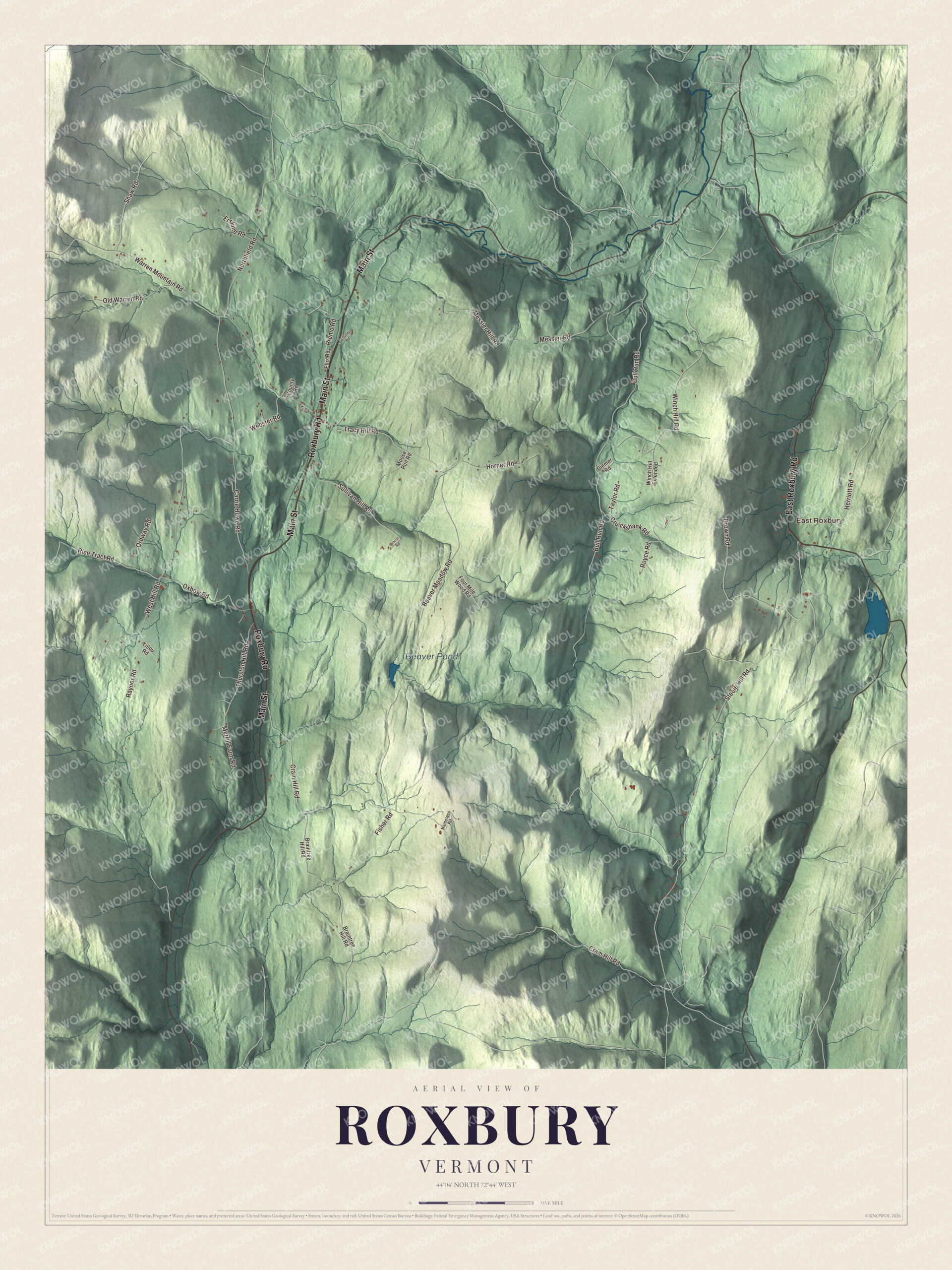
Click to explore a larger preview. The digital watermark does not appear on printed maps.
Names on this map
These names are printed on this map.
Places: East Roxbury and Beaver Pond.
Streets and roads: Main Street, Roxbury Road, East Roxbury Road, Cram Hill Road, Steele Hill Road, West Hill Road, Tracy Hill Road, Warren Mountain Road, Webster Road, Beaver Meadow Road, Bull Run Road, Carrie Howe Road.
More street names, A to Z
Braintree Hill Road, County Road, Cruickshank Road, Diemer Road, Drown Road, Ellis Road, Erskine Road, Fisher Road, Four Mile Wood Road, Herriott Road, Horner Road, Merrill Farm Road, Messier Hill Road, Messier Road, Moose Run Road, Nameless Road, Northfield Road, Old Warren Road, Ordway Road, Oxbow Road, Pincus Road, Premo Road, Raynor Road, Rice Tract Road, Royce Road, Schuller Road, Shaw Road, Sullivan Hill Road, Taylor Road, Thurston Hill Road, Tillou Road, Winch Hill Extended, Winch Hill Road, York Road.
See it on a wall
The Roxbury map as a framed print. Swipe for more.


Roxbury people
Francis V. Randall moved to Roxbury in 1854 to farm while he kept up his law practice. In 1862 he helped raise the 13th Vermont Infantry and was appointed its colonel, and at Gettysburg on July 3, 1863, the 13th Vermont was credited with ending Pickett’s Charge, marching out from the Union line on Cemetery Ridge to fire into the flank of the Confederate attack. After the war he became vice president of Norwich University. Zed S. Stanton was born in Roxbury in 1848, went to school here, practiced law in town and served as Vermont’s lieutenant governor from 1902 to 1904; he lived in Roxbury all his life. Gideon Hixon, later a member of the Wisconsin legislature, was born here, and the documentary filmmaker Ed Pincus had a home in Roxbury.
Camp Windridge at Teela Wooket, a tennis, soccer and riding camp, was started by Claude and Florence Roys in 1913. The Roxbury Free Library holds about 5,000 volumes, and the historical society keeps its collection in the small building that served for many years as the town clerk’s office.
Around the map
Route 12A runs the length of the town north to south, an alternate to Route 12 between Randolph and Northfield. The town’s old burying grounds include the First Settlers, Orcutt, West Hill, Village, East Roxbury and Roxbury Flats cemeteries. On the map, start with East Roxbury, then follow Main Street, Roxbury Road, East Roxbury Road, Cram Hill Road, Steele Hill Road and West Hill Road across town. Beaver Pond is printed too. Roxbury dates to 1781.
This map of Roxbury is made for everyone who calls Roxbury home, and it shows the town as it looks today, from Main Street out to East Roxbury, West Hill Road and Beaver Pond. Hang it in an office, library or den, or use it to teach children the geography and history of their town. It’s printed on museum quality archival paper. Zoom in on the preview above to explore the details, then click here to get your copy of the Roxbury, Vermont map.

Sources