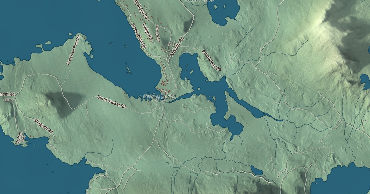
Beaver Cove became a town only in 1978, and Baker Mountain stands within its lines. This map prints its roads, Lily Bay Road, State Park Road, Kokadjo Road, Prong Pond Road, Tussle Brook Road and Burnt Jacket Road, and three ponds, Prong Pond, Mud Pond and Mountain Pond. Click here to purchase a print of this map for your wall.
Beaver Cove is in Piscataquis County, and it had 133 people at the 2020 census.
KNOWOL made this map in 2026 from public survey data and gave it the look of an old atlas. The shaded terrain comes from United States Geological Survey elevation data, and the roads and the town line come from the Census Bureau, which counts 32.71 square miles here, 31.85 of them land and 0.86 water.
A town since the 1970s
Beaver Cove was organized as a plantation on March 17, 1975, and became a town on January 31, 1978. In 2000 the census counted 91 people here, and by 2020 there were 133.
Baker Mountain
Baker Mountain is a wild mountain in Beaver Cove with no trail to its top. Lily Bay Mountain flanks it to the northwest, Elephant Mountain is about two miles to the southwest, and White Cap Mountain about five miles to the east. Its slopes drain three ways. The east side drains by way of Baker Mountain Brook to the West Branch of the Pleasant River, then to the Piscataquis and the Penobscot. The southwest side runs through the Wilson Ponds to Sebec Lake. The northwest side drains by South Brook into Moosehead Lake, the source of the Kennebec. In 2015 the Appalachian Mountain Club bought the 4,300 acres the mountain stands on.
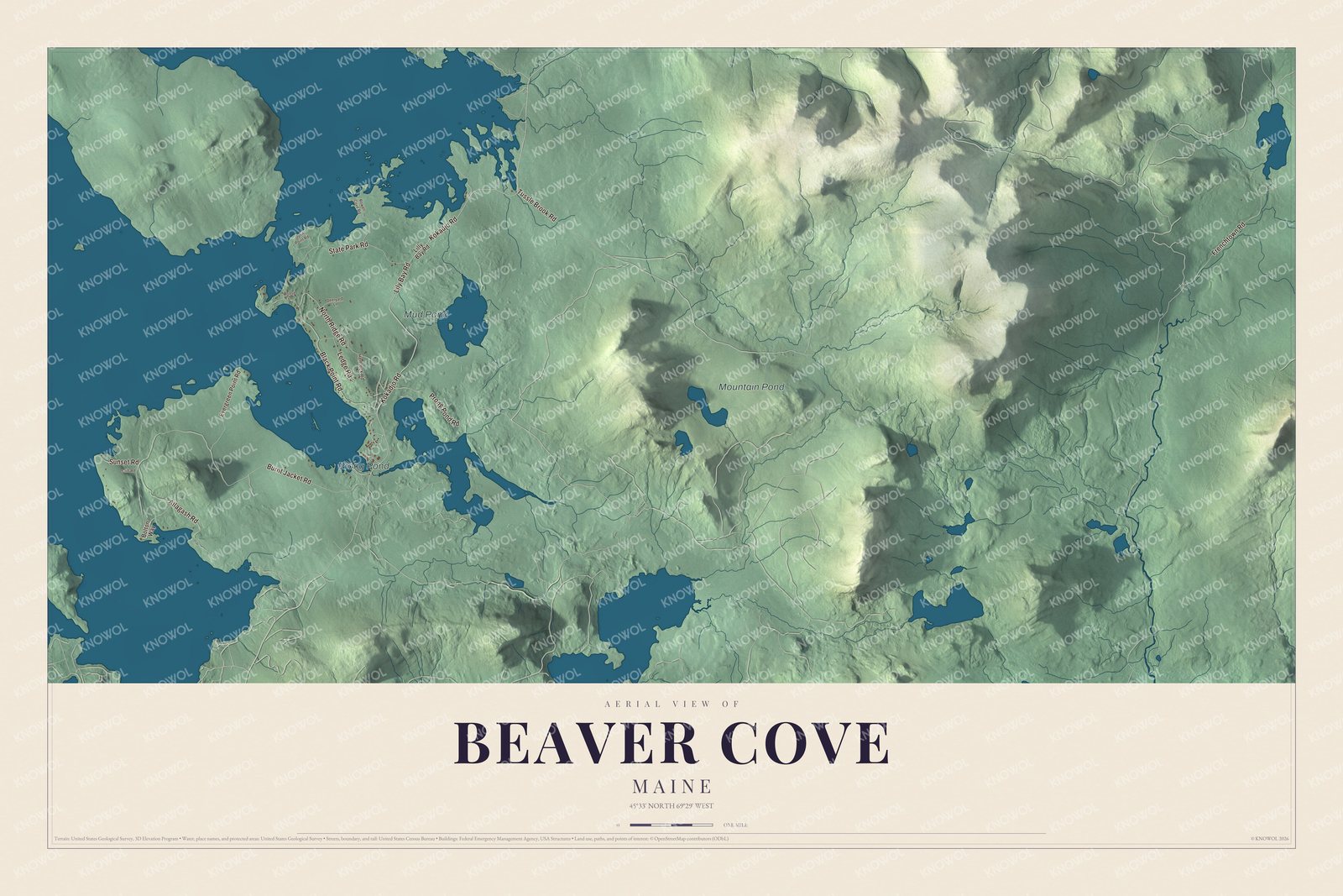
Click to explore a larger preview. The digital watermark does not appear on printed maps.
Names on this map
These names are printed on this map.
Places: Prong Pond, Mud Pond and Mountain Pond.
Streets and roads: Kokadjo Road, Tussle Brook Road, Prong Pond Road, State Park Road, Lily Bay Road, Burnt Jacket Road, Black Point Road, Frenchtown Road, North Ridge Road, Allagash Road, Ledge Road, Sunset Road.
More street names, A to Z
Bolton Way, Cliff Road, Deeryard Lane, Dunn Point Road, Evergreen Point Road, Hemlock Road, Lilly Bay Road, Moose Lane, Rowell Cove Road.
See it on a wall
The Beaver Cove map as a framed print. Swipe for more.


Toward Moosehead
Moosehead Lake is the largest lake in Maine and the largest lake wholly within New England, and its page says the region takes its name from the way maps of the lake look like an antlered moose. Henry David Thoreau, who remarked on the region’s beauty, described the lake as “a gleaming silver platter at the end of the table,” in the words its page quotes. Lily Bay Road and State Park Road are printed on the map. They share their names with Lily Bay State Park, the 924-acre park on the southeast shore of the lake in the town of Greenville, opened in 1961 on woodland that the Scott Paper Company had given. Kokadjo Road, Prong Pond Road, Tussle Brook Road and Burnt Jacket Road are printed too, along with Prong Pond, Mud Pond and Mountain Pond.
This Beaver Cove map makes a handsome addition to an office, library or den, and it can teach children the geography of a young Piscataquis County town. It’s made for anyone who calls Beaver Cove home, from Prong Pond to Burnt Jacket Road, as it looks today. Zoom in on the preview above to explore the details, then click here to get your copy of the Beaver Cove, Maine map.

Sources