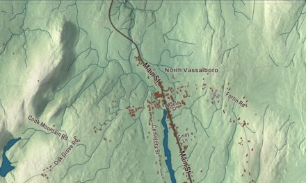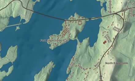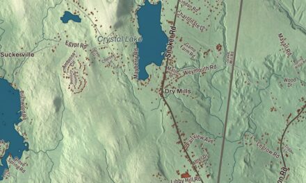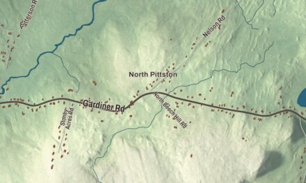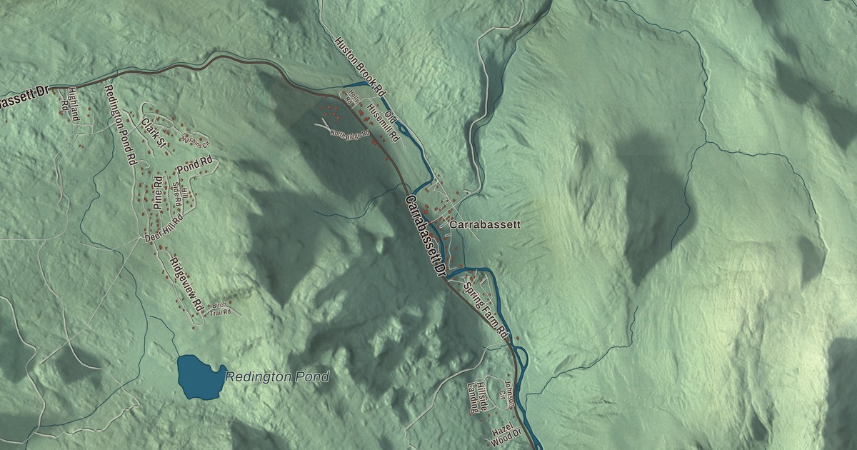
Carrabassett and Bigelow are the village names printed on this map of Carrabassett Valley, Maine. Carrabassett Drive, Ridgeview Road, Bridge Street, Huston Brook Road, Town Line Road and East Mountain Road carry their names as well, and so does Redington Pond. Click here to purchase a print of this map for your wall.
Carrabassett Valley is a town in Franklin County, with 673 people at the 2020 census.
KNOWOL made this map in 2026 from public survey data and finished it in the manner of an old atlas. The mountains are shaded from United States Geological Survey elevation data, and the roads and town line come from the Census Bureau, which counts 77.62 square miles in Carrabassett Valley and only 0.14 of them water. The town’s page calls it the highest incorporated settlement in Maine.
A town that voted itself into being
Carrabassett Valley takes its name from the Carrabassett River, which flows through the town. Before 1971 this was Jerusalem Township. On October 26, 1971, its residents voted 21 to 13 to incorporate as the town of Carrabassett Valley, and the first town meeting was held on April 26, 1972. The new town went on to play a large part in the growth of the ski area on Sugarloaf.
The town grew up with Sugarloaf. The first trail on Sugarloaf Mountain was cut in 1950 by the Sugarloaf Mountain Ski Club and a group of locals known as the Bigelow Boys, led by Amos Winter along with Stub Taylor, and the trail was named Winter’s Way. Sugarloaf is the third highest peak in Maine, after the Baxter and Hamlin peaks of Katahdin. Its Narrow Gauge trail hosted the World Cup in 1971, and most of its 174 trails and glades are named for logging terms, in tribute to Maine’s logging history.
Carrabassett Valley Academy, a ski and snowboard school at the base of the mountain, was founded in 1982. Its alumni include Bode Miller, a World Cup overall champion and Olympic medalist, and Seth Wescott, who won Olympic gold in snowboard cross in 2006 and 2010. The Appalachian Trail crosses the western side of the town, climbing the slopes of Sugarloaf and over the summit of Crocker Mountain.
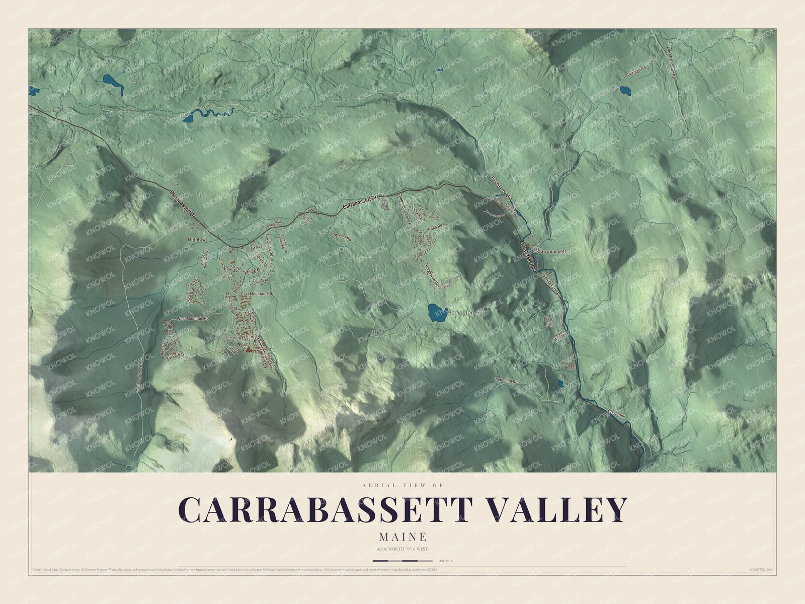
Click to explore a larger preview. The digital watermark does not appear on printed maps.
See it on a wall
The Carrabassett Valley map as a framed print. Swipe for more.


Bigelow and Carrabassett
Bigelow is printed on the map. Near the village of Bigelow, the South Branch of the Carrabassett River turns east and gathers the brooks that drain Sugarloaf, and at Bigelow State Routes 16 and 27 cross it. A narrow gauge railroad, the Sandy River and Rangeley Lakes, once followed the river from Bigelow down to Kingfield, and a large steam sawmill was built at Bigelow in 1899 to turn the headwater forests into lumber.
Carrabassett is printed too. Near the villages of Records and Carrabassett, Huston Brook comes south from the Bigelow Range and joins the South Branch, and below that meeting the stream is simply the Carrabassett River. In 1924 a veneer mill in Carrabassett used surplus World War I tanks to haul logs out of the woods. Huston Brook Road and Carrabassett Drive are printed on the map, and so are Ridgeview Road, Bridge Street, Town Line Road, East Mountain Road and Redington Pond.
This Carrabassett Valley map makes a fine addition to an office, library or den, and it can help teach children the geography and history of the area. It’s made for anyone who calls Carrabassett Valley home, from Bigelow down to Carrabassett, as it looks today. Zoom in on the preview above to explore the details, then click here to get your copy of the Carrabassett Valley, Maine map.

Sources