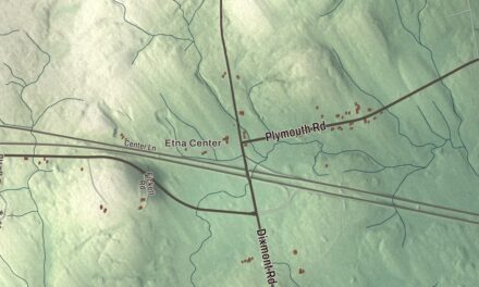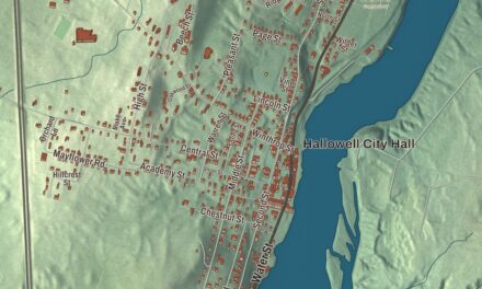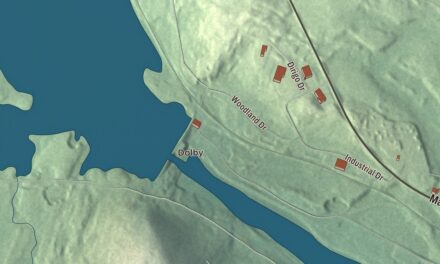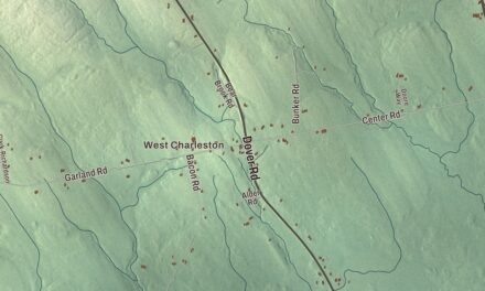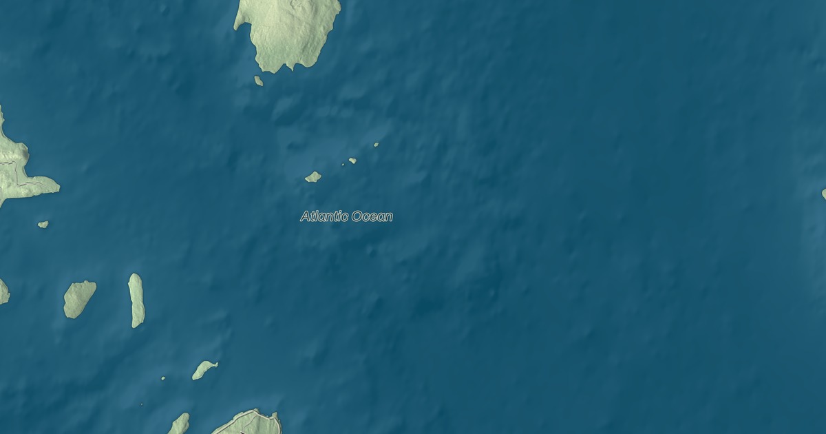
High Road, Shore Road and Gooseberry Point Road are places to begin exploring this Frenchboro map. The Atlantic Ocean is printed by name, with the island’s roads and buildings gathered into an aerial view. Click here to purchase a print of this map for your wall.
Frenchboro is a town in Hancock County, on islands in the Gulf of Maine.
KNOWOL made this map in 2026 from public survey data and gave it the look of an old atlas. United States Geological Survey elevation data shades the terrain, and Census Bureau files provide the roads and town boundary. The coastline and buildings are brought together within that boundary. The 2020 census counted 29 residents in Frenchboro.
A village on Long Island
The village of Frenchboro is on Long Island, southeast of Swans Island. It belongs to a town that includes twelve islands, including Great Duck Island, Little Duck Island, Placentia Island and the island holding Mount Desert Light. Frenchboro became a town in 1979, when the Legislature converted Long Island Plantation into the Town of Frenchboro.
Water makes up much of the town’s area: the Census Bureau lists 83.61 square miles of water and 4.82 square miles of land. State ferry service connects the village with Bass Harbor. The village and the scattered islands are parts of the same municipality.
Great Duck Island Light
Great Duck Island Light stands on another of Frenchboro’s islands. Established in 1890, it guides approaches to Blue Hill Bay and the southern side of Mount Desert Island. The brick tower, keeper’s house and other station buildings occupy the southern tip of Great Duck Island.
The light was automated in 1986. The College of the Atlantic acquired the station property in 1997 and established the Alice Eno Field Research Station, where students study the island’s birds. The light remains an aid to navigation maintained by the Coast Guard, and the station is listed on the National Register of Historic Places. It’s on Great Duck Island, a separate island from the village on Long Island.
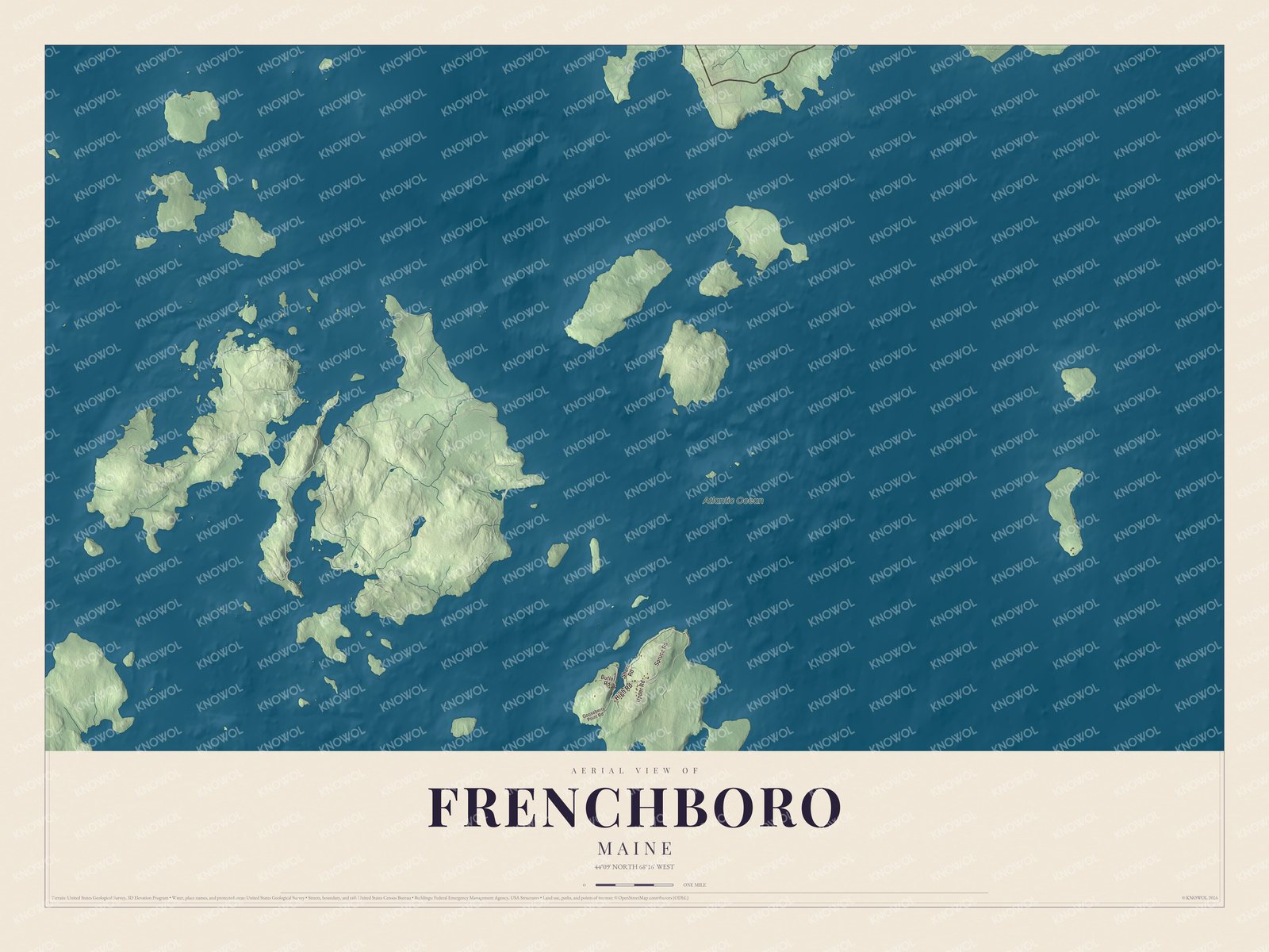
Click to explore a larger preview. The digital watermark does not appear on printed maps.
See it on a wall
The Frenchboro map as a framed print. Swipe for more.


Roads in the village
High Road, Spruce Road, Shore Road, Upper Road, Butler Road and Gooseberry Point Road are all printed by name. Atlantic Ocean is printed too. The town’s other roads and buildings are drawn alongside the coastline in the preview.
Frenchboro Elementary School serves the island community through the eighth grade. The map can give children and adults another way to look at the place they know, following a road or comparing the building pattern with the coast. The larger preview is the place to examine those details.
For people who call Frenchboro home, this map brings the village roads and coastline together as it looks today. It can hang in an office, library or den and help teach children the geography and history of their island town. Zoom in on the preview above to explore the details, then click here to get your copy of the Frenchboro, Maine map.

Sources