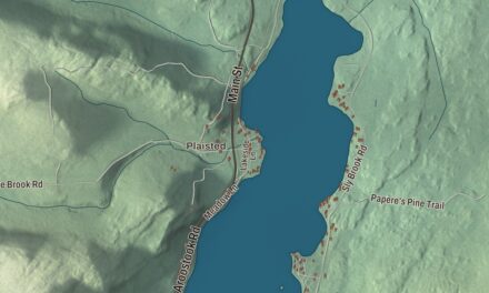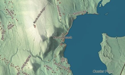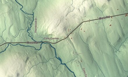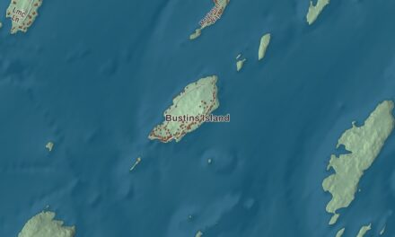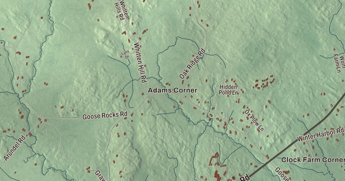
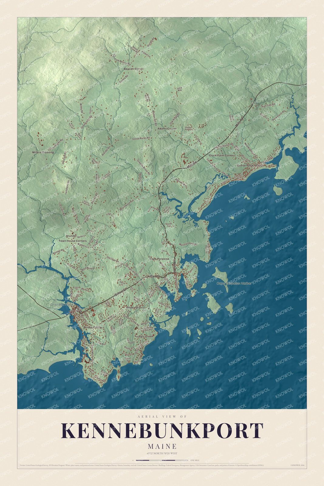
Cape Porpoise Harbor and Goose Rocks Beach are places to look for on this Kennebunkport map. Main Street and Langsford Road provide another starting point among the streets and coastal buildings. Click here to purchase a print of this map for your wall.
Kennebunkport is a town in York County.
KNOWOL made this map in 2026 using public survey records, United States Geological Survey elevation data and Census Bureau files. We arranged Kennebunkport’s streets, buildings, neighborhoods, coastline, ponds and waterways, and terrain, the town boundary and the pattern of buildings with the relief, lettering and layout of an atlas.
Cape Porpus and Kennebunkport
The town incorporated as Cape Porpus in 1653. It was renamed Arundel in 1701, then Kennebunkport in 1821. Shipbuilding and trade were part of its history before summer hotels and cottages developed along the coast in the nineteenth century.
Cape Porpoise retains a fishing harbor and its own village center. Dock Square lies along the Kennebunk River, while Goose Rocks Beach was one of the town’s early summer colonies, formerly called Beachwood.
Preserving a trolley
The Seashore Trolley Museum began in 1939 when railway enthusiasts bought a retired open trolley from the Biddeford & Saco Railroad. They moved it to rented farmland on Log Cabin Road in Kennebunkport.
Another group brought a trolley from the Manchester and Nashua Street Railway, and the groups joined together. They incorporated as the New England Electric Railway Historical Society in 1941. The collection later grew to include rapid transit cars, trolley buses and motor buses.
Click to explore a larger preview. The digital watermark does not appear on printed maps.
See it on a wall
The Kennebunkport map as a framed print. Swipe for more.


Explore the Kennebunkport map
Adams Corner and Arundel are printed names, along with Beacon Corner and Clock Farm Corner. Arundel is also the name of a separate neighboring town to the west of Kennebunkport.
Cape Porpoise, Goose Rocks Beach, Millers Crossing, Cape Porpoise Harbor and Grist Mill Pond are labeled on the artwork. School Street, Main Street, Mills Road, South Maine Street, Langsford Road and Kings Highway are printed road names.
This map shows Kennebunkport as it looks today, made for people who call Kennebunkport home. Hang it in your office, library, or den, or use it to teach children the geography and history of the area. Zoom in on the preview above to explore the details, then click here to get your copy of the Kennebunkport, Maine map.

Sources