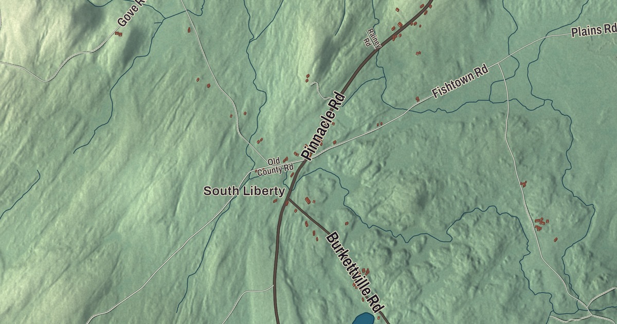
South Liberty and Clarks Corner offer a starting point on this Liberty map. Find Main Street and Saint George Lake, then explore the town’s roads, ponds and buildings. Click here to purchase a print of this map for your wall.
Liberty is a town in Waldo County.
KNOWOL made this map in 2026 from public survey records, United States Geological Survey elevation data and Census Bureau files. Its atlas layout brings together Liberty’s streets, buildings, neighborhoods, ponds and waterways, and terrain, the town boundary and the pattern of buildings.
Mills for the shipbuilding towns
Liberty separated from Montville and incorporated in 1827. The earlier settlement had been part of Davistown Plantation.
In the early nineteenth century, Liberty’s mills produced materials for shipbuilding in coastal towns including Waldoboro. The town also includes Lake St. George State Park.
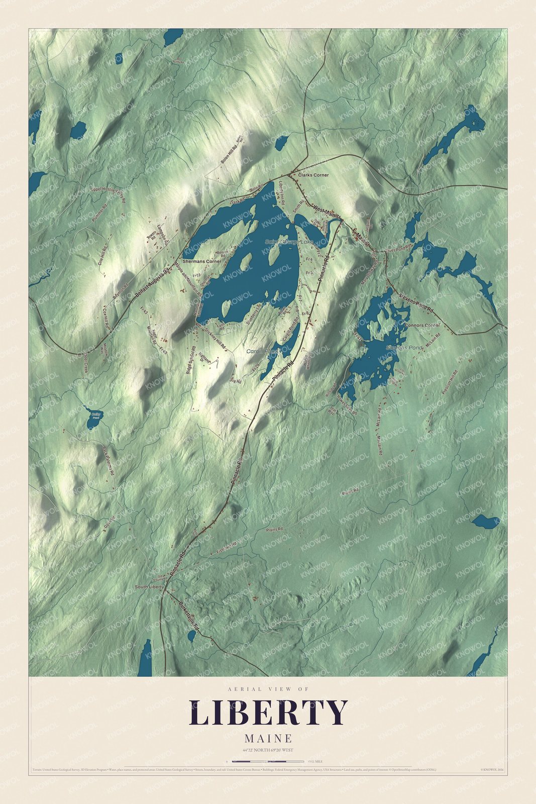
Click to explore a larger preview. The digital watermark does not appear on printed maps.
See it on a wall
The Liberty map as a framed print. Swipe for more.


Explore the Liberty map
South Liberty and Clarks Corner are printed on the artwork, along with Connors Corner and Shermans Corner. Saint George Lake, Stevens Pond and Cargill Pond are labeled as well.
Pinnacle Road, West Main Street and Belfast Augusta Road are printed roads. Main Street, Stevens Pond Road and Burkettville Road give you more names to follow in the aerial view.
This map shows Liberty as it looks today, made for people who call Liberty home. Hang it in your office, library, or den, or use it to teach children the geography and history of the area. Zoom in on the preview above to explore the details, then click here to get your copy of the Liberty, Maine map.

Sources