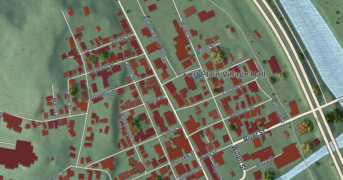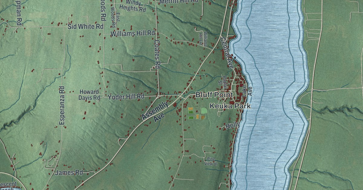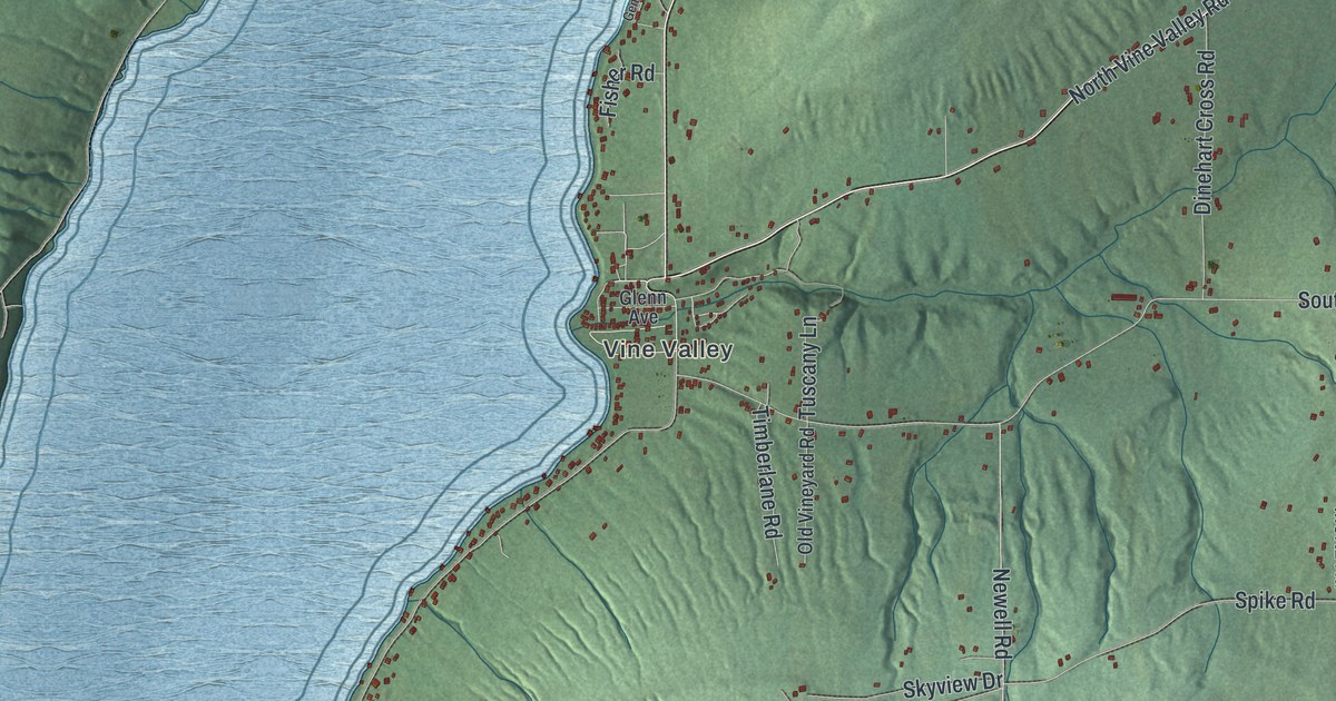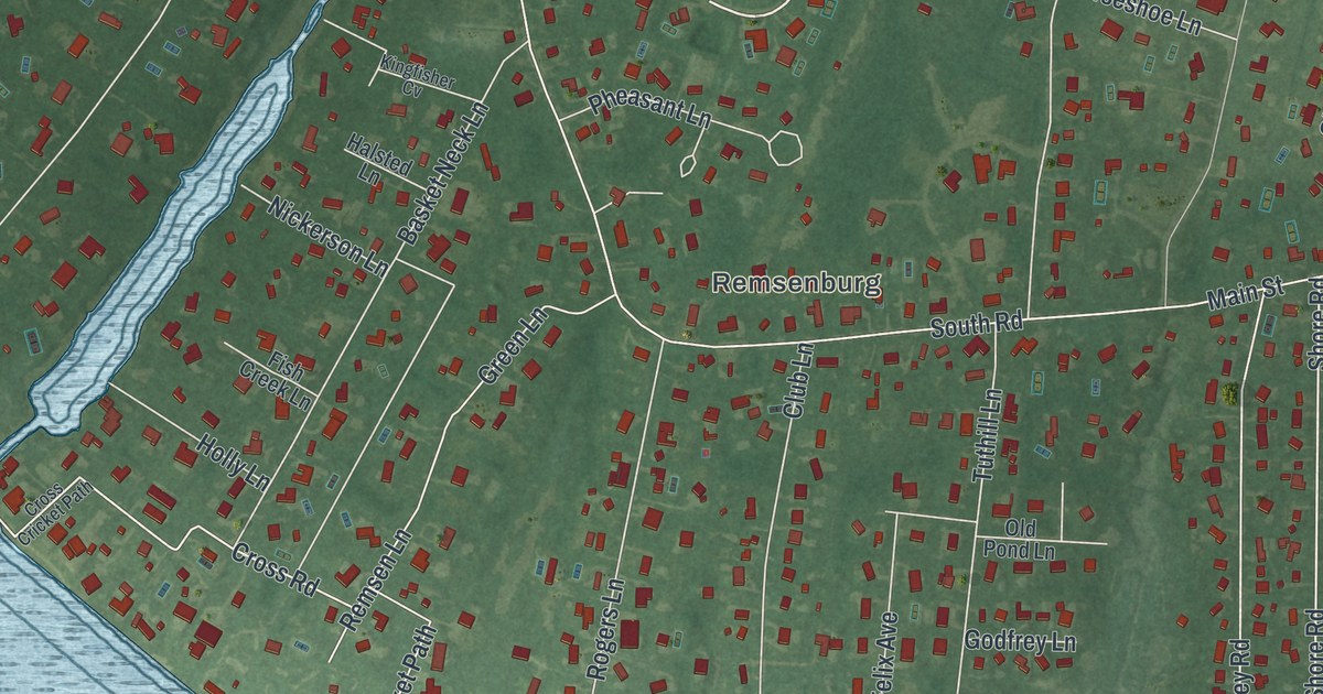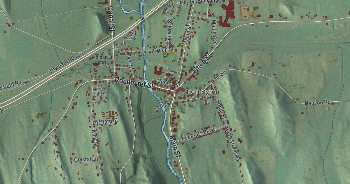
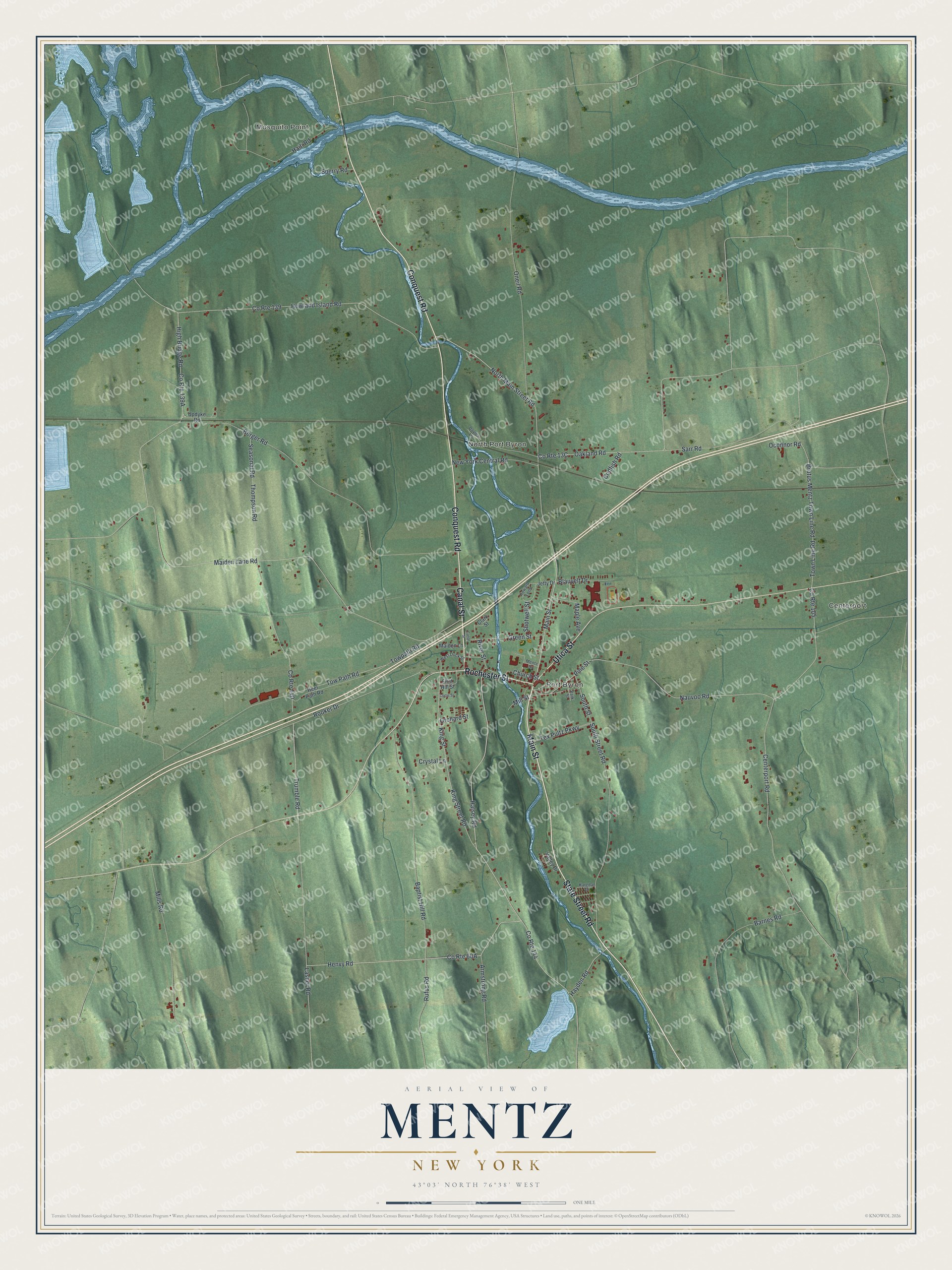
This beautifully detailed map of Mentz, New York was created in 2026 using aerial imagery combined with modern topographical, census, street and landmark data. It’s a one-of-a-kind view of Mentz that combines accurate data with a vintage aesthetic. The map shows every building in its true location, many of the roads carry their names, and the shaded topographic relief shows the shape of the land.
Explore an aerial view of Mentz, New York
On the map you’ll find Mosquito Point, Centerport, Port Byron, and North Port Byron, along with Main Street, Conquest Road, Rochester Street, Canal Street, Utica Street, and more. If you look closely you can even find your house accurately drawn in its correct location. Zoom in on the preview to look for yours.
Did You Know?
Mentz began in 1802 under the name Town of Jefferson. In 1808 it was renamed Mentz, because the Jefferson name was already used by too many other places. When the Erie Canal opened through town in 1820, the settlement called Bucksville grew fast and became Port Byron.
Take a closer look at the Mentz map
Names on this map
These names are printed on this map.
Places: Mosquito Point, Centerport, Port Byron and North Port Byron.
Streets and roads: State Street Road, Main Street, Conquest Road, Rochester Street, Canal Street, Utica Street, Halsey Road, North Main Street Road, Rooker Drive, King Street Road, King Street, Thompson Road.
More street names, A to Z
Armstrong Road, Baptist Hill Road, Barnes Road, Berger Road, Blauvelt Drive, Brutus Mentz Town Line Road, Centerport Road, Church Street, Clark Street, Codfish Road, County Route 105, County Route 139, County Route 140, County Route 144, Crystal Lane, Curtis Street, Davies Lane, First Hill Street, Green Street, Haiti Road, Hayden Road, Heel Path Road, Henvy Road, High Bridge Road, Howard Loop, Howland Island Road, Jetty Drive, Karedan Drive, Lasher Road, Maiden Lane, Maiden Lane Road, Maple Avenue, Mentz Drive, Mills Road, Mill Street, Nauvoo Road, New York Central Road, Oakland Road, Oconnor Road, Oneil Road, Orchard Street, Park Street, Pine Street, River Street, Rufus Road, Sarr Road, Seasonal Road, Shotwell Street, South Street, South Street Road, Sperry Road, Tex Pultz Parkway, Town Line Road, Tow Path Road, Towpath Road, Trumble Road, Updyke Road, Valley Drive, West Dock Street.
See it on a wall
The Mentz map as a framed print. Swipe for more.


This beautifully detailed map of Mentz makes an attractive addition to your office, library, or den, and it can even be used to teach children the geography and history of the area. It also makes a great gift for someone who left Mentz and still calls it home. When you’re done exploring, click here to get your copy of the Mentz map.