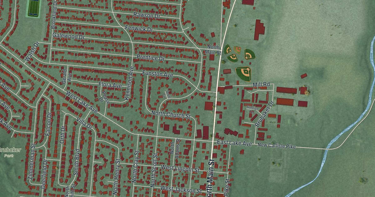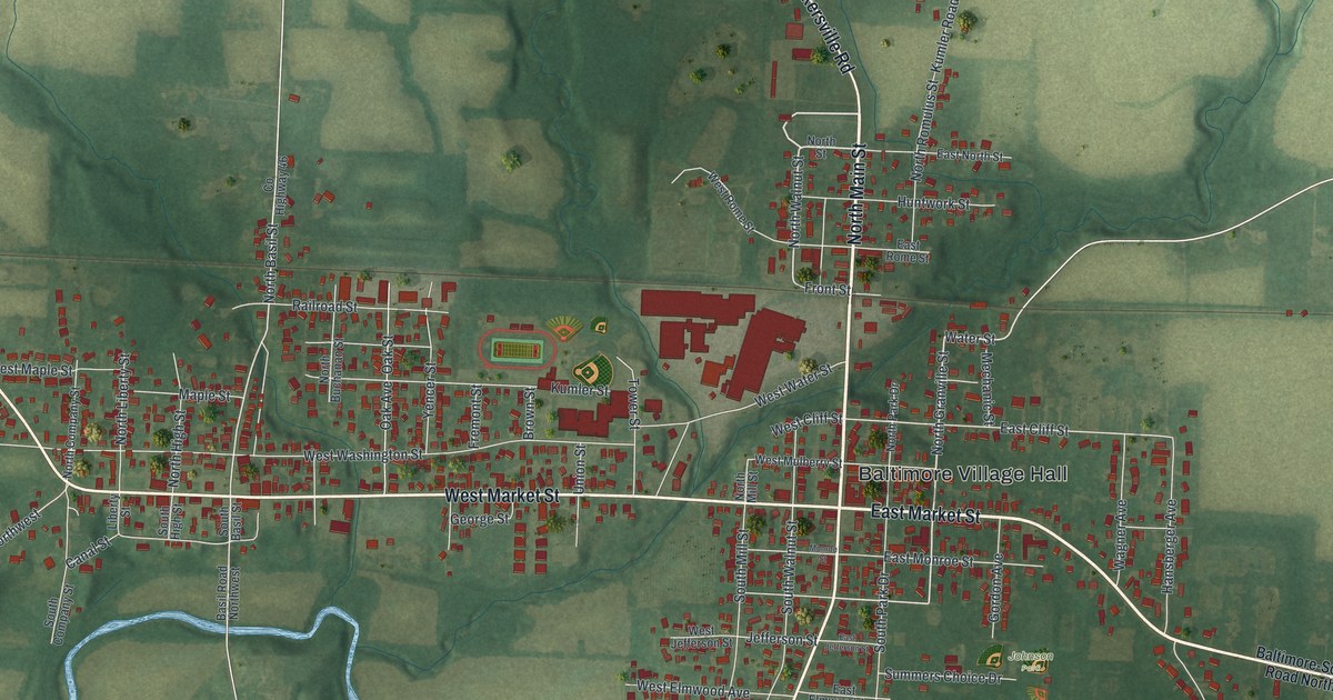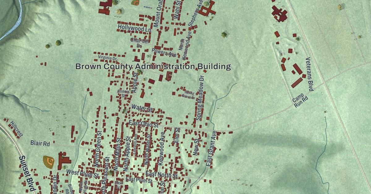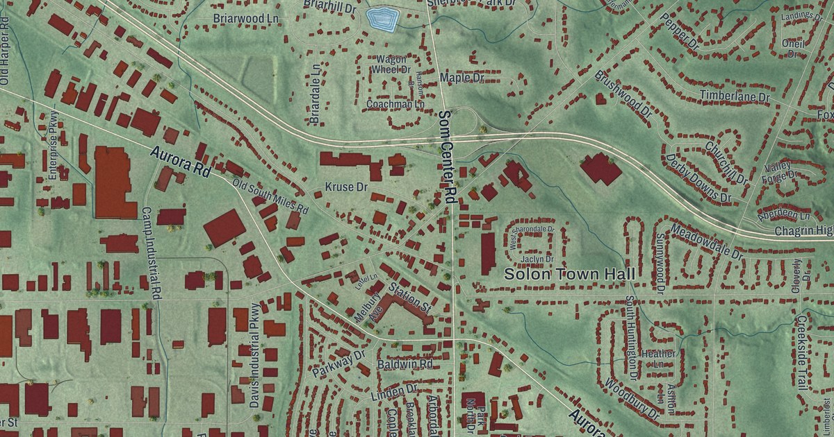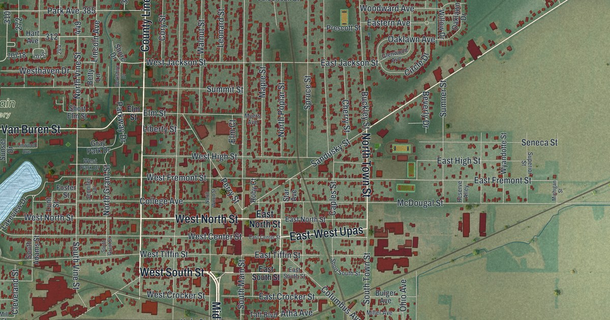
If you grew up in Fostoria, or your family still lives off North Main Street, this map is for you. It's a modern aerial view of Fostoria in Seneca County, Ohio, built from modern map data and finished with a vintage feel. It shows about 7,500 buildings in red, set among green fields on every side. Rail lines cross near the middle of town, and blue lakes sit on the west side near Findlay Street.
From North Main Street to Fountain Cemetery
On this map you'll find North Main Street, South Main Street, North Countyline Street, Sandusky Street, Findlay Street, Columbus Avenue, Perrysburg Road, Van Buren Street, West Tiffin Street, Summit Street, Fountain Cemetery, Foundation Park, Fostoria Country Club, Westgate Village Park, and more. Each red shape is a building, so zoom in on the preview and look for yours.
How Fostoria became a glass town
Fostoria's glass era began in the mid 1880s. Natural gas was found at a spot called "Godsend," five miles west of town. Former governor Charles Foster helped bring glass makers here. More than a dozen companies made glass in Fostoria from 1887 to 1920. They made windows, bottles, tableware, lamps, shades and light bulbs. The best known was the Fostoria Glass Company. From 1887 to 1891, it made its famous "Victoria" pattern tableware here. When the gas ran low, the company moved to Moundsville, West Virginia. It kept the name Fostoria, and the name still stands for excellence in glassmaking. That's the story on the Ohio History Connection's marker at State Route 23 and County Highway 199.
Risdon Square at Countyline and Summit
The town has older roots, too. John Gorsuch settled in a clearing along the Portage River in 1831. County surveyor David Risdon drew up a village plat for him, and it was named Risdon in 1832. The Risdon Square marker says that village had the first church and post office. It also has the oldest house in Fostoria. The square sits where North Countyline Street meets Summit Street. Henry Howe wrote in 1891 that most of Fostoria lies in Seneca County. Part of it lies in Hancock County, and a small part in Wood County.
Fostoria, from Sandusky Street to Findlay Street
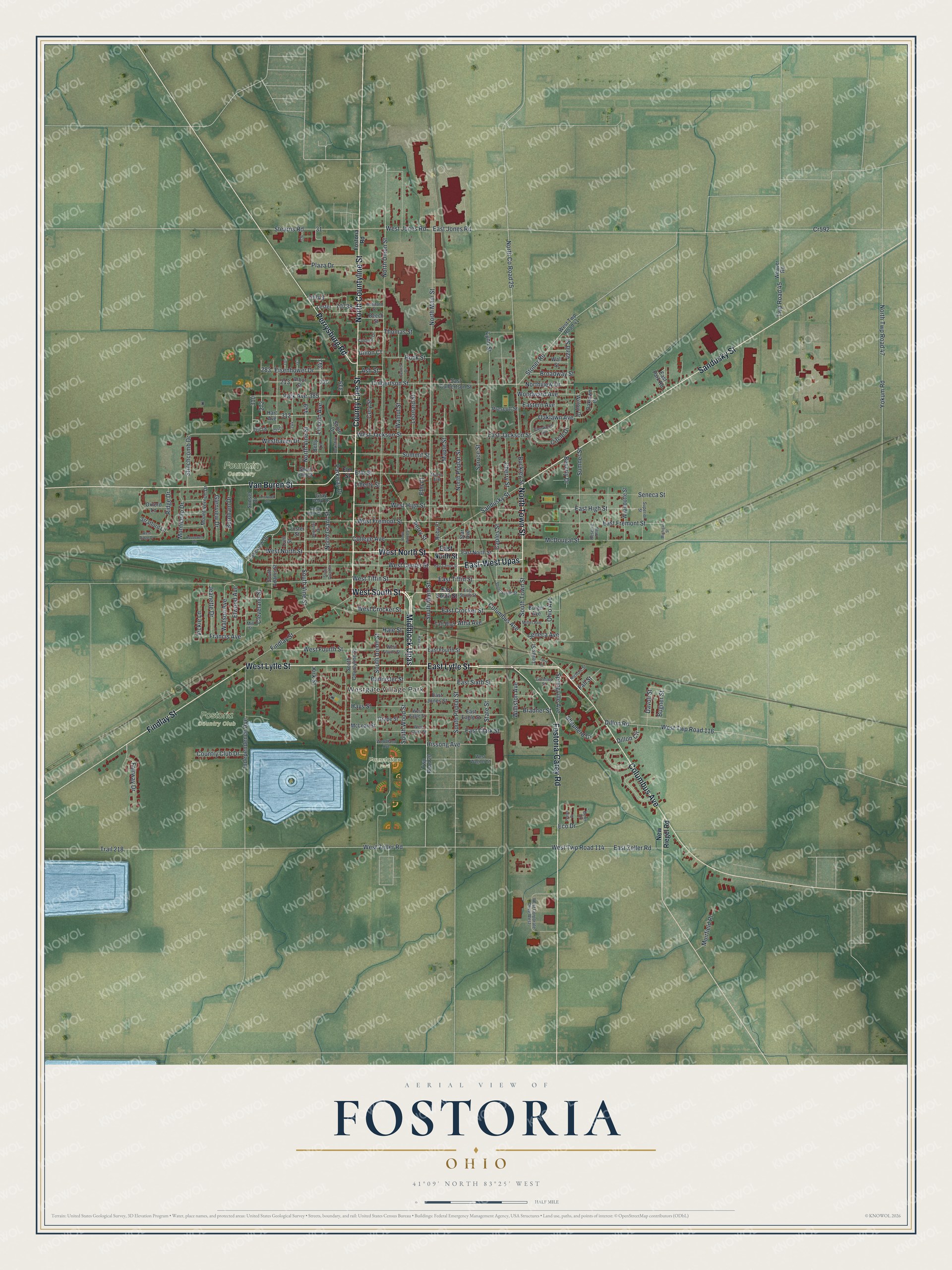
Created by KNOWOL in 2026, this print shows Fostoria in soft greens, with red buildings, white roads and blue water. The title panel reads "Aerial View of Fostoria, Ohio" with the coordinates 41°09' North 83°25' West.
It suits a living room, a front hall or a home office. It's a good gift for a Fostoria Glass collector, or for someone who grew up playing at Foundation Park and now lives far away. Open the preview and find the streets you know. See sizes and frames for the Fostoria map.