Detailed Map of Billingsley, Alabama
A detailed map of Billingsley, Alabama, showing every building in its true location, the roads by name, and shaded topographical relief.
Read More
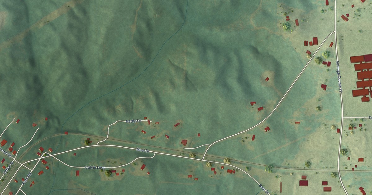
A detailed map of Billingsley, Alabama, showing every building in its true location, the roads by name, and shaded topographical relief.
Read More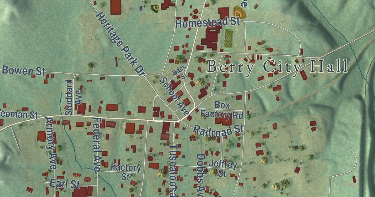
A detailed map of Berry, Alabama, showing every building in its true location, the roads by name, and shaded topographical relief.
Read More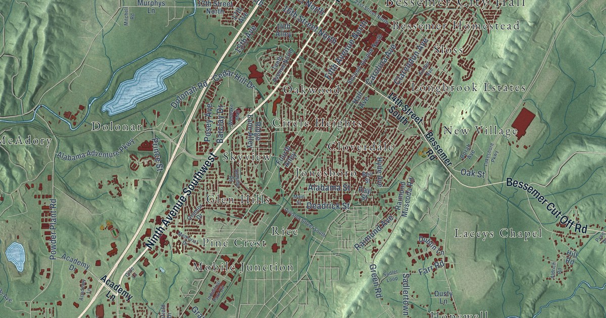
A detailed map of Bessemer, Alabama, showing every building in its true location, the roads by name, and shaded topographical relief.
Read More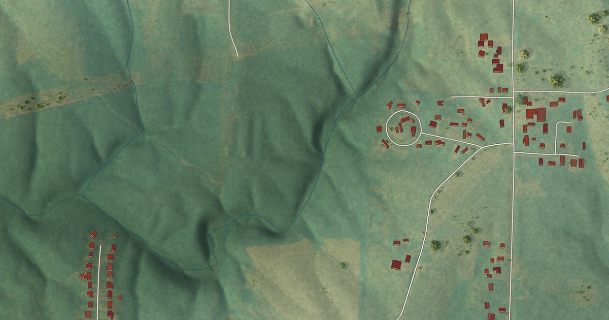
A detailed map of Berlin, Alabama, showing every building in its true location, the roads by name, and shaded topographical relief.
Read More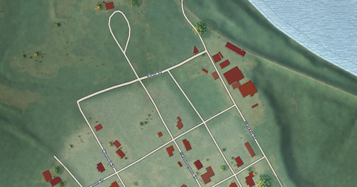
A detailed map of Benton, Alabama, showing every building in its true location, the roads by name, and shaded topographical relief.
Read More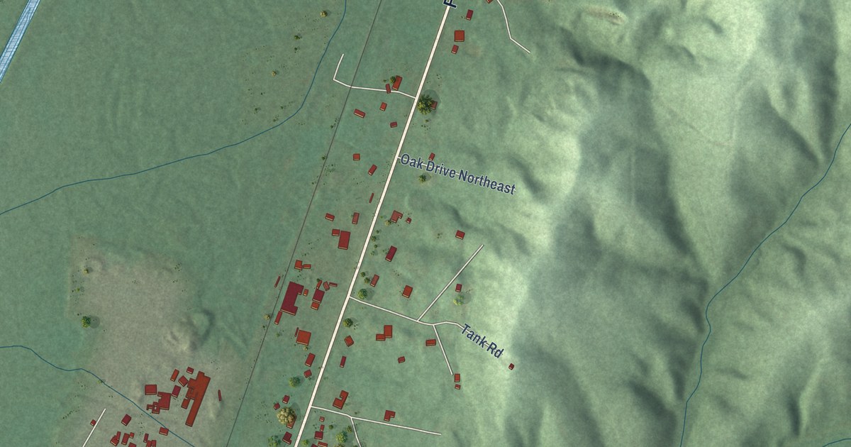
A detailed map of Belk, Alabama, showing every building in its true location, the roads by name, and shaded topographical relief.
Read More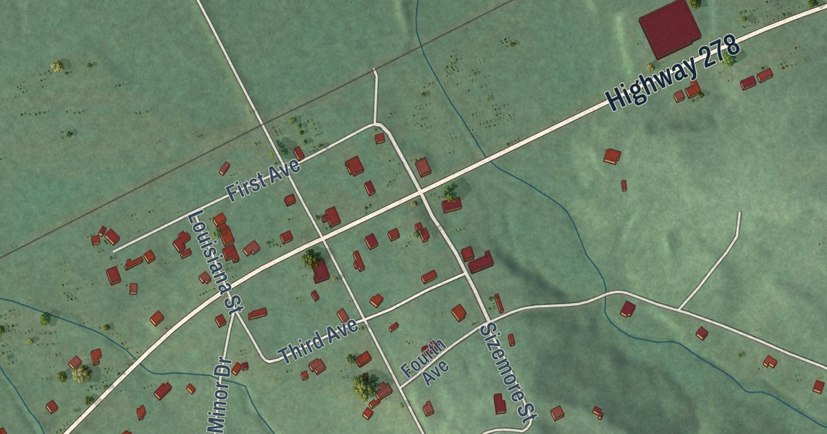
A detailed map of Beaverton, Alabama, showing every building in its true location, the roads by name, and shaded topographical relief.
Read More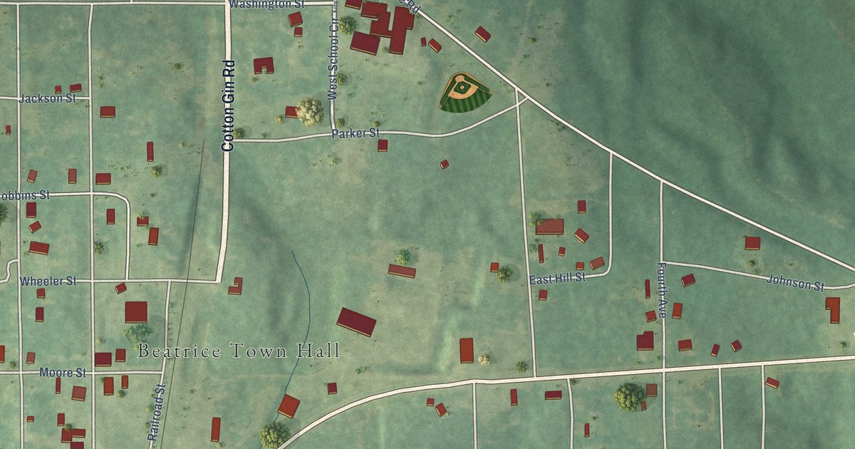
A detailed map of Beatrice, Alabama, showing every building in its true location, the roads by name, and shaded topographical relief.
Read More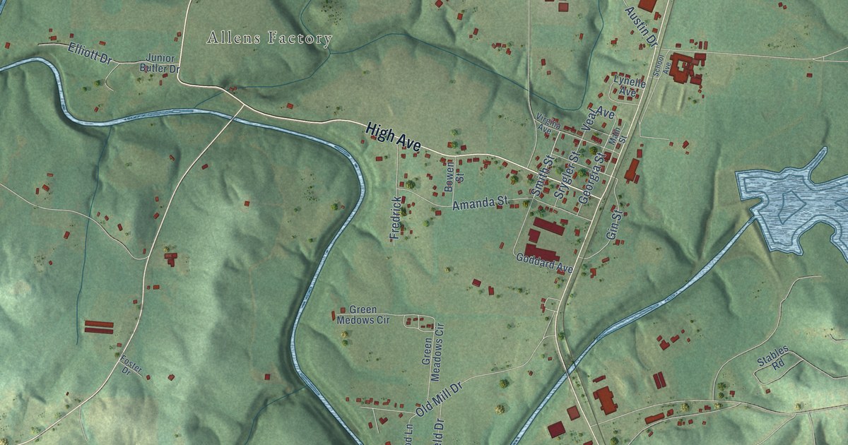
A detailed map of Bear Creek, Alabama, showing every building in its true location, the roads by name, and shaded topographical relief.
Read More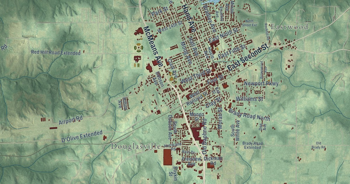
A detailed map of Bay Minette, Alabama, showing every building in its true location, the roads by name, and shaded topographical relief.
Read More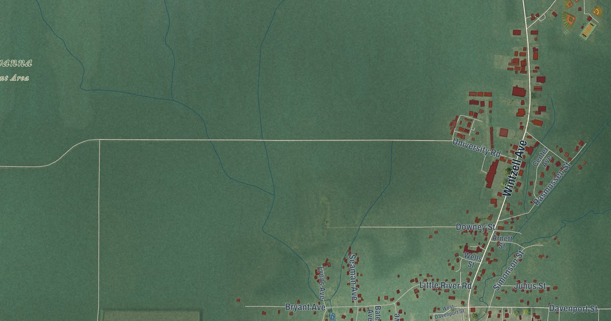
A detailed map of Bayou La Batre, Alabama, showing every building in its true location, the roads by name, and shaded topographical relief.
Read More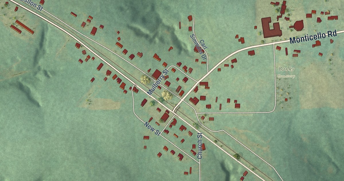
A detailed map of Banks, Alabama, showing every building in its true location, the roads by name, and shaded topographical relief.
Read More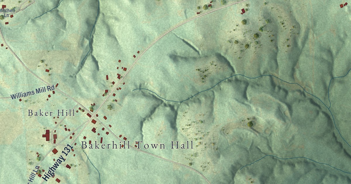
A detailed map of Bakerhill, Alabama, showing every building in its true location, the roads by name, and shaded topographical relief.
Read More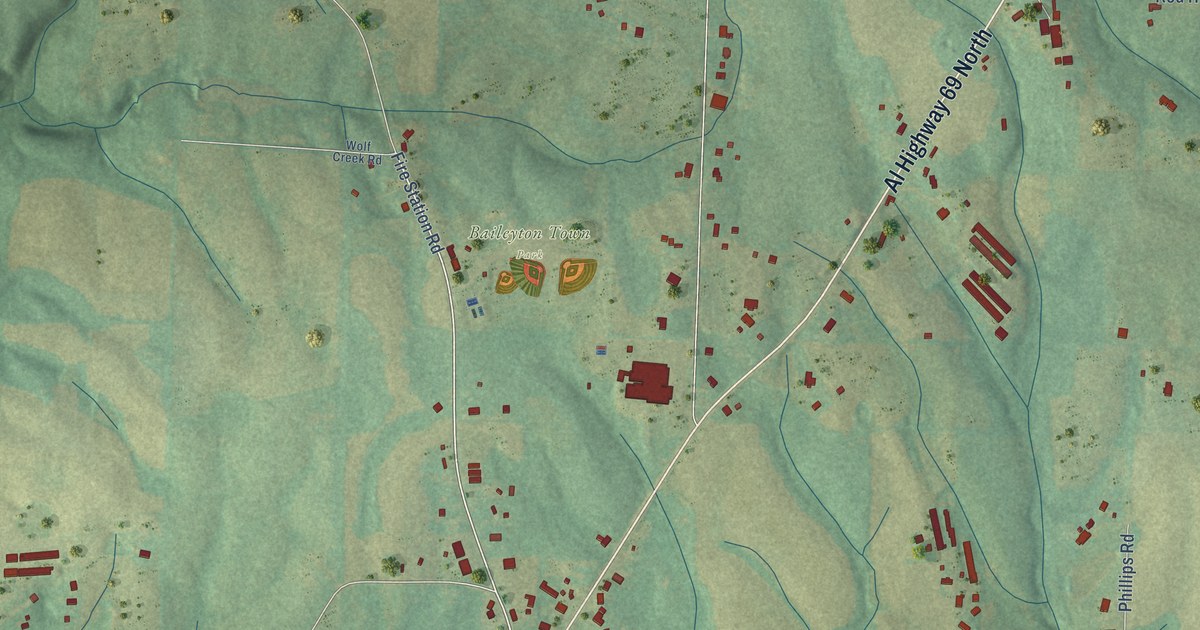
A detailed map of Baileyton, Alabama, showing every building in its true location, the roads by name, and shaded topographical relief.
Read More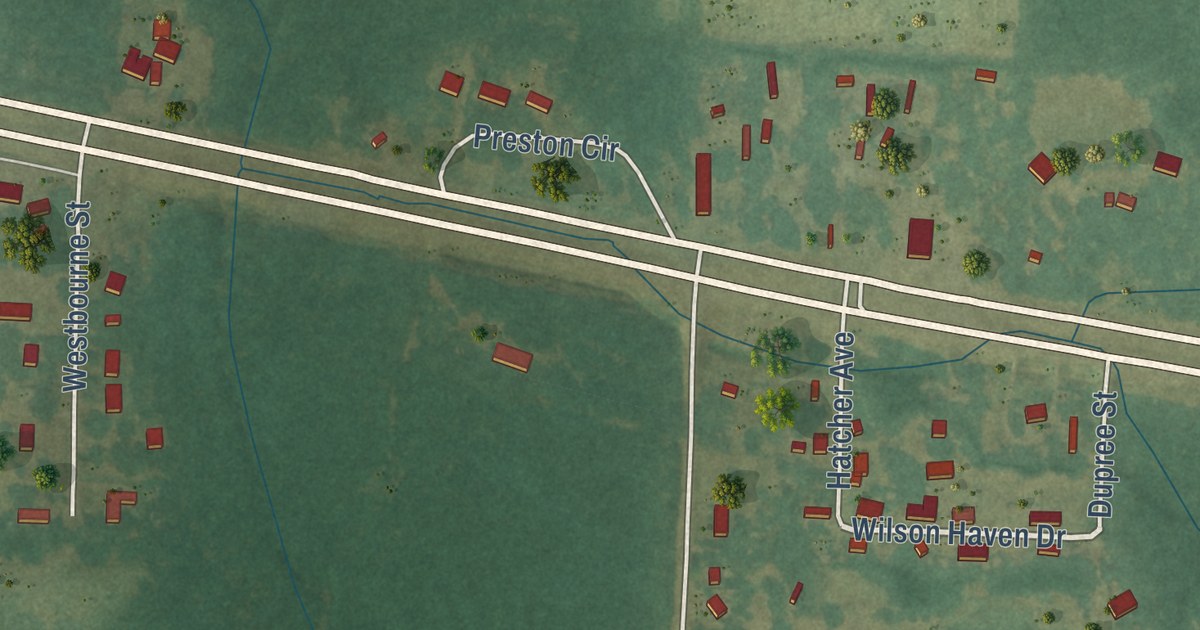
A detailed map of Avon, Alabama, showing every building in its true location, the roads by name, and shaded topographical relief.
Read More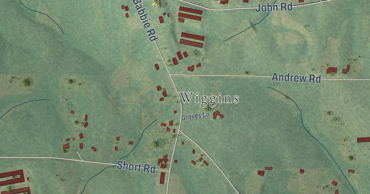
A detailed map of Babbie, Alabama, showing every building in its true location, the roads by name, and shaded topographical relief.
Read More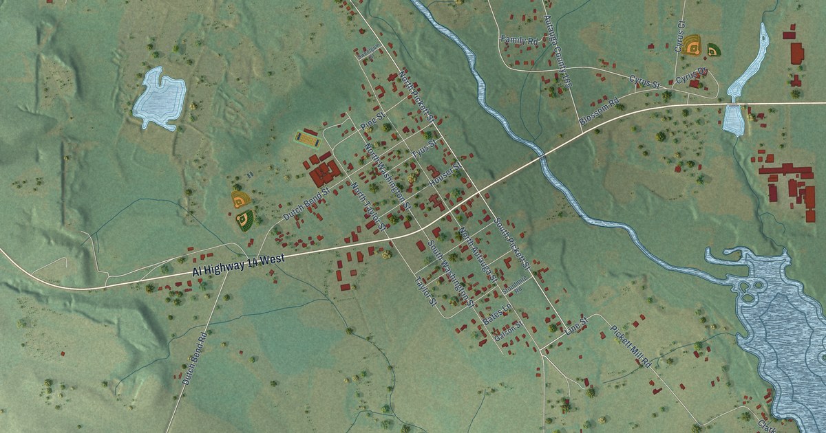
A detailed map of Autaugaville, Alabama, showing every building in its true location, the roads by name, and shaded topographical relief.
Read More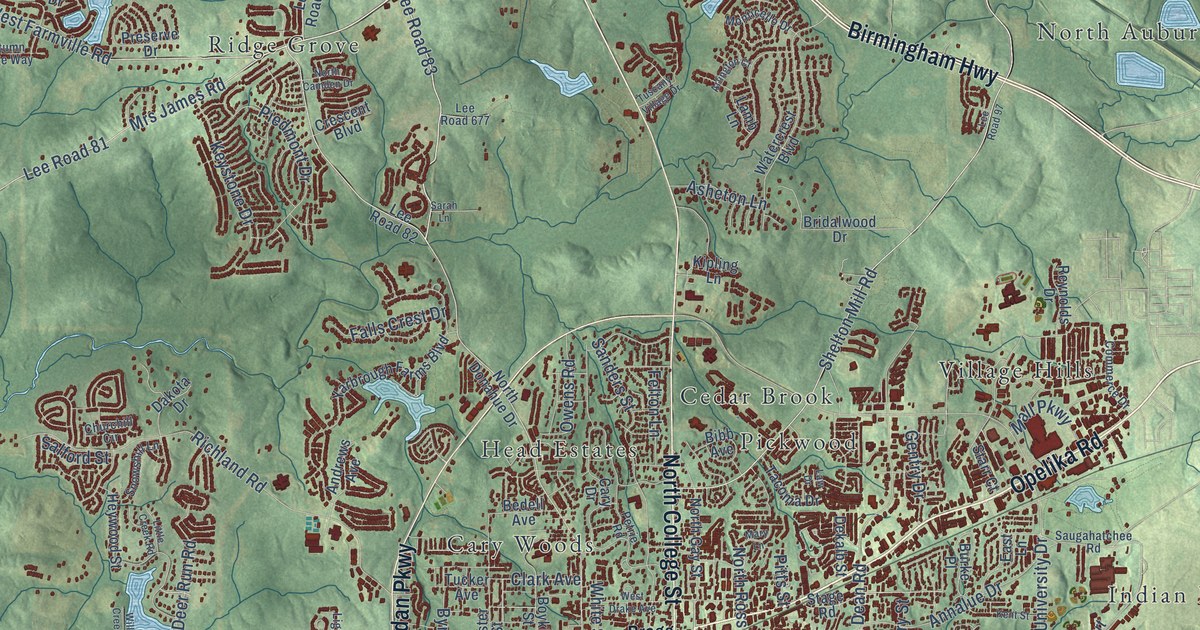
A detailed map of Auburn, Alabama, showing every building in its true location, the roads by name, and shaded topographical relief.
Read More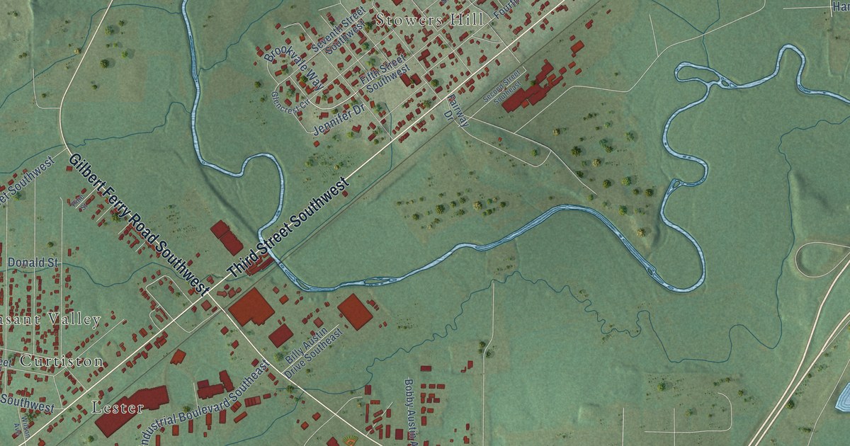
A detailed map of Attalla, Alabama, showing every building in its true location, the roads by name, and shaded topographical relief.
Read More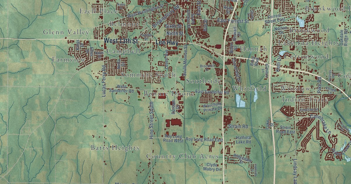
A detailed map of Athens, Alabama, showing every building in its true location, the roads by name, and shaded topographical relief.
Read More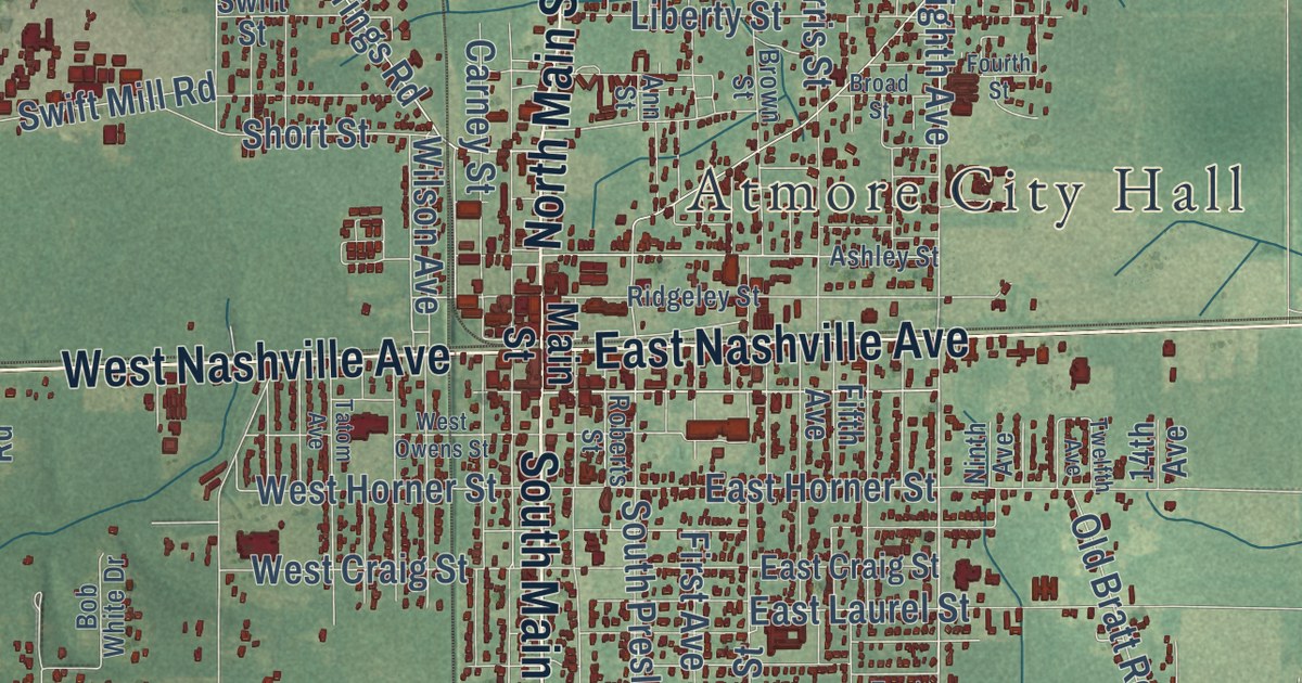
A detailed map of Atmore, Alabama, showing every building in its true location, the roads by name, and shaded topographical relief.
Read More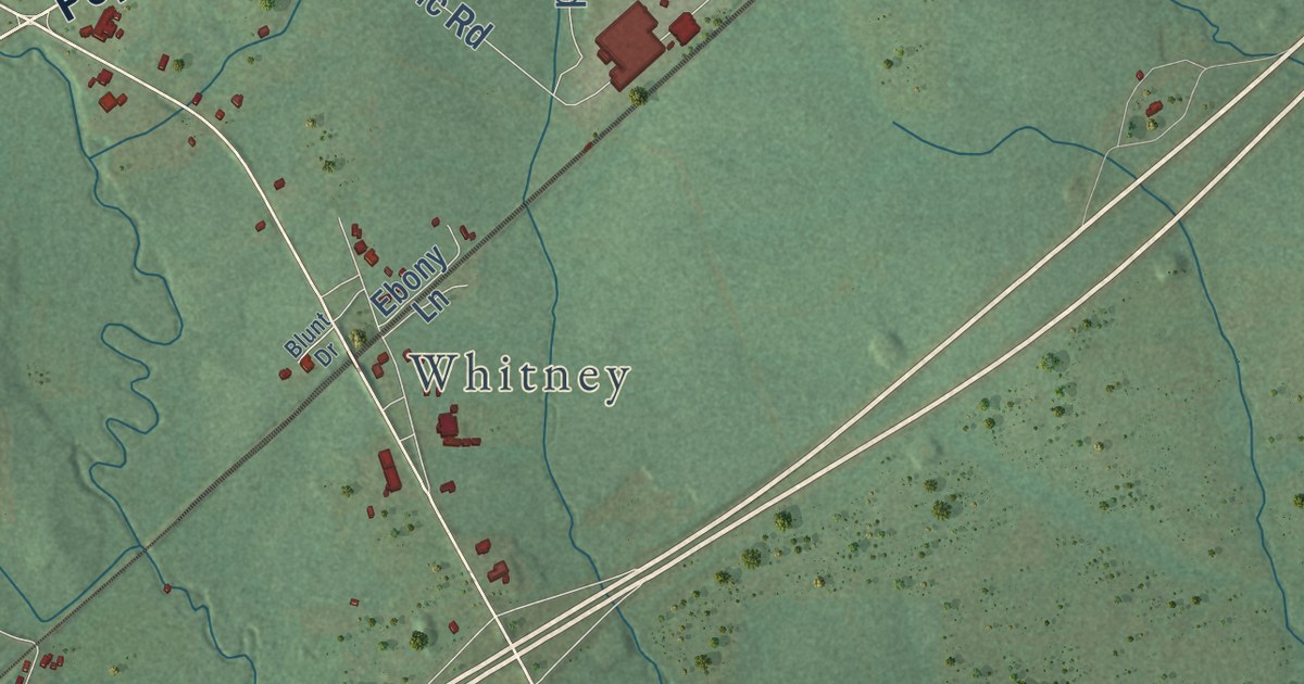
A detailed map of Ashville, Alabama, showing every building in its true location, the roads by name, and shaded topographical relief.
Read More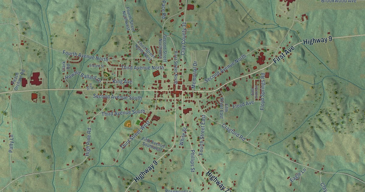
A detailed map of Ashland, Alabama, showing every building in its true location, the roads by name, and shaded topographical relief.
Read More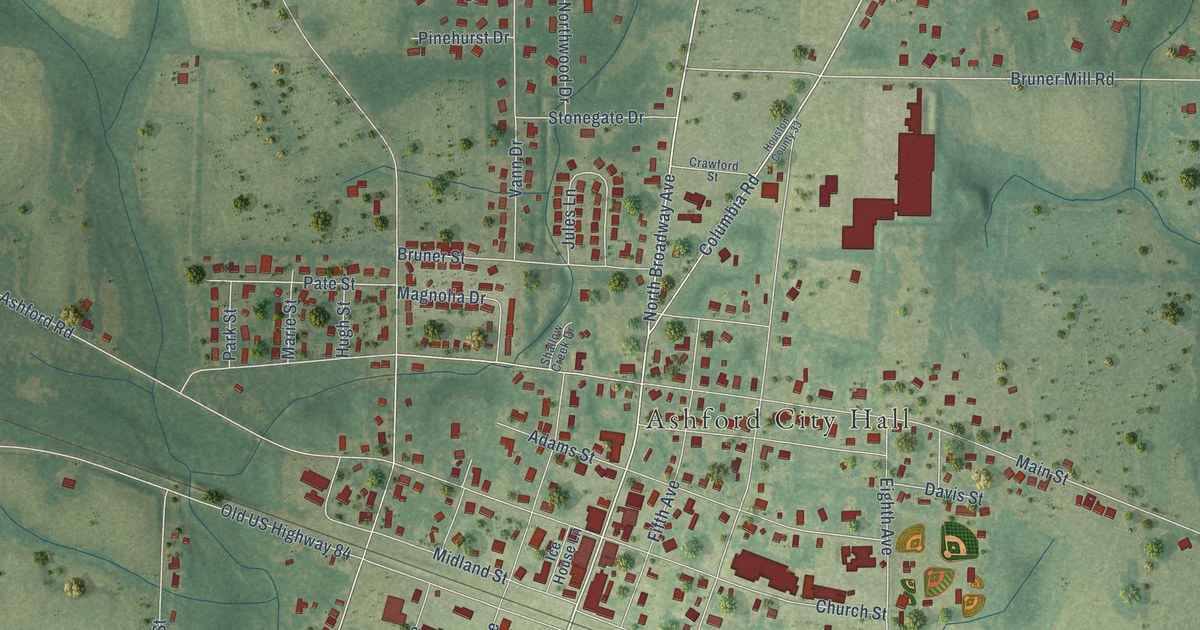
A detailed map of Ashford, Alabama, showing every building in its true location, the roads by name, and shaded topographical relief.
Read More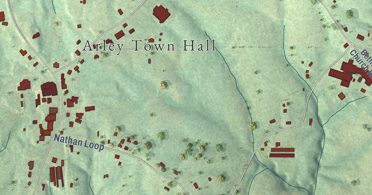
A detailed map of Arley, Alabama, showing every building in its true location, the roads by name, and shaded topographical relief.
Read More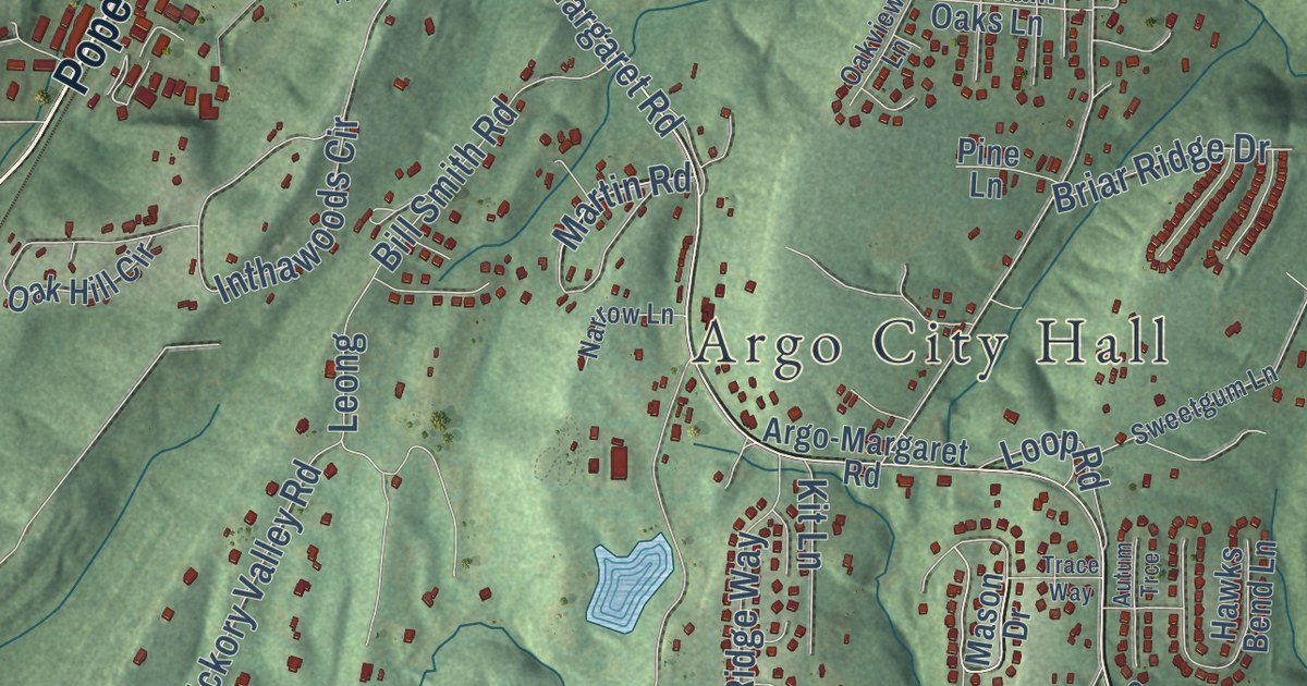
A detailed map of Argo, Alabama, showing every building in its true location, the roads by name, and shaded topographical relief.
Read More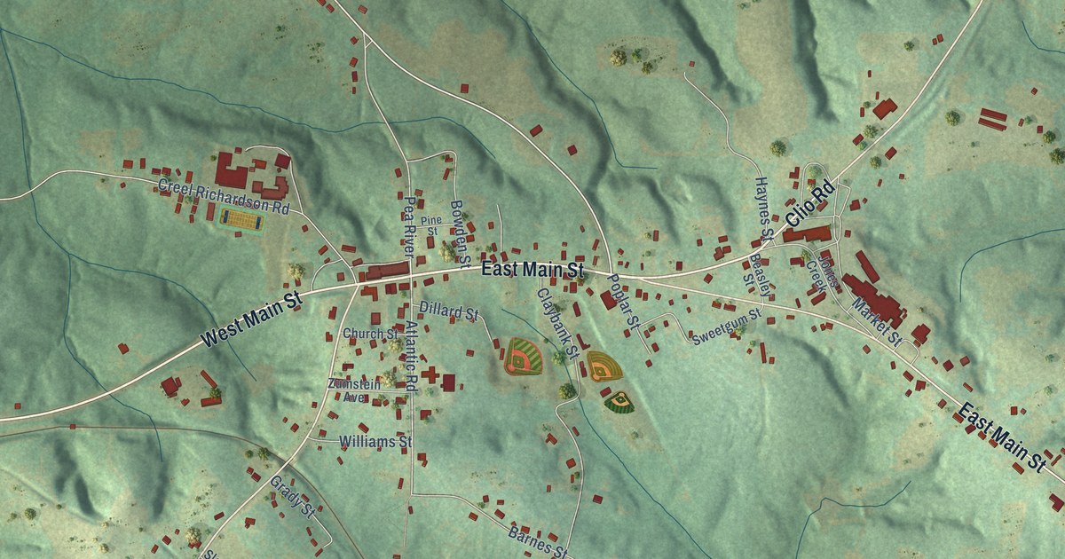
A detailed map of Ariton, Alabama, showing every building in its true location, the roads by name, and shaded topographical relief.
Read More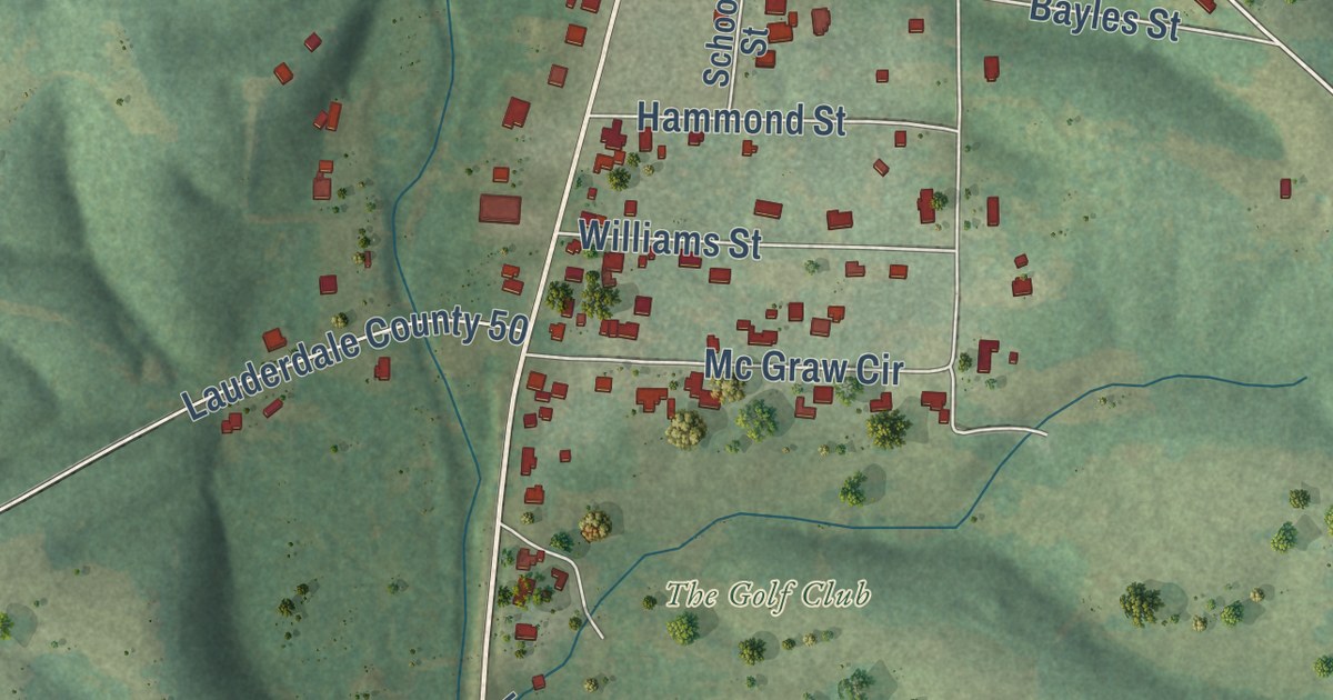
A detailed map of Anderson, Alabama, showing every building in its true location, the roads by name, and shaded topographical relief.
Read More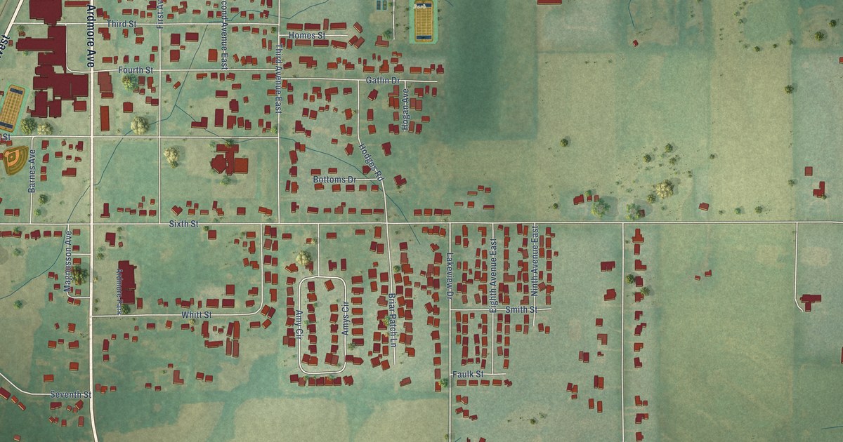
A detailed map of Ardmore, Alabama, showing every building in its true location, the roads by name, and shaded topographical relief.
Read More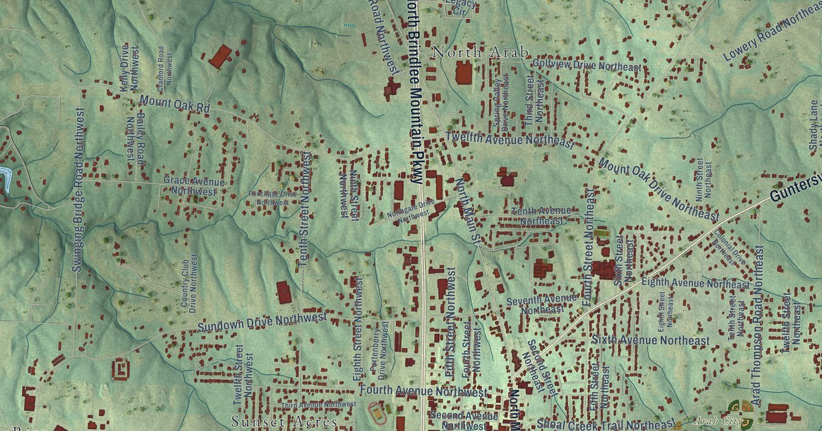
A detailed map of Arab, Alabama, showing every building in its true location, the roads by name, and shaded topographical relief.
Read More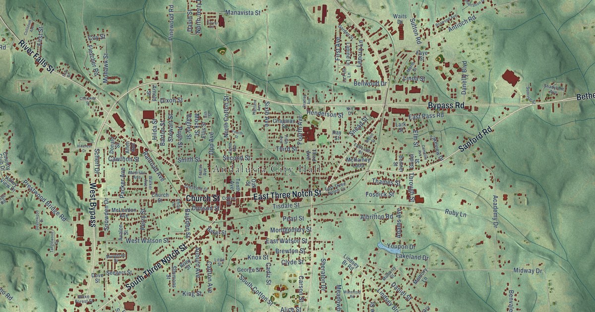
A detailed map of Andalusia, Alabama, showing every building in its true location, the roads by name, and shaded topographical relief.
Read More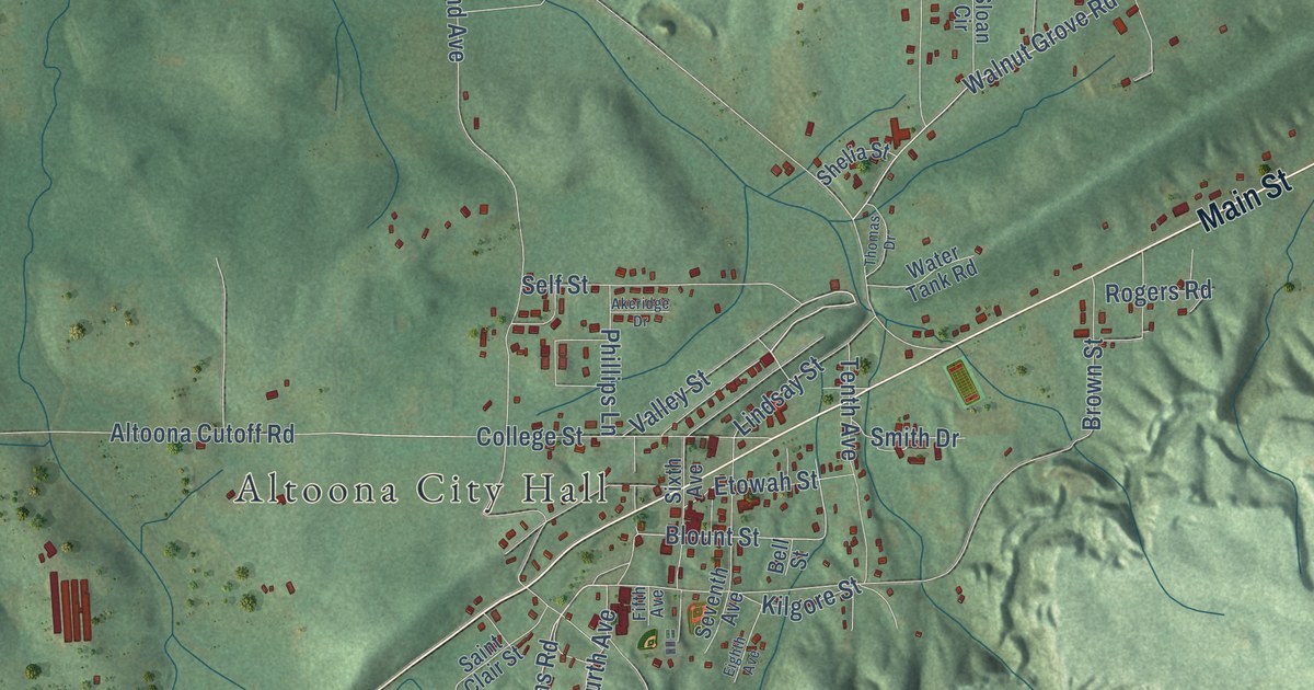
A detailed map of Altoona, Alabama, showing every building in its true location, the roads by name, and shaded topographical relief.
Read More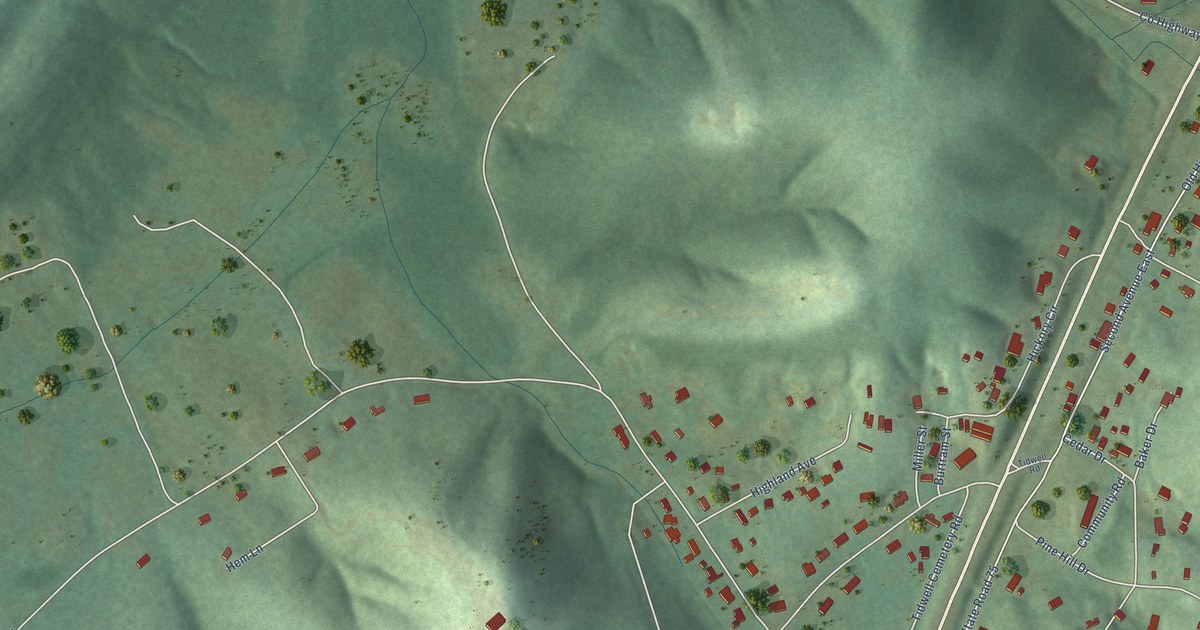
A detailed map of Allgood, Alabama, showing every building in its true location, the roads by name, and shaded topographical relief.
Read More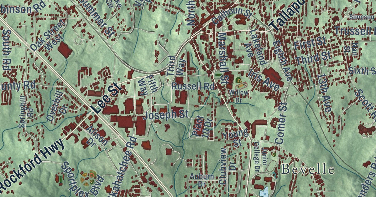
A detailed map of Alexander City, Alabama, showing every building in its true location, the roads by name, and shaded topographical relief.
Read More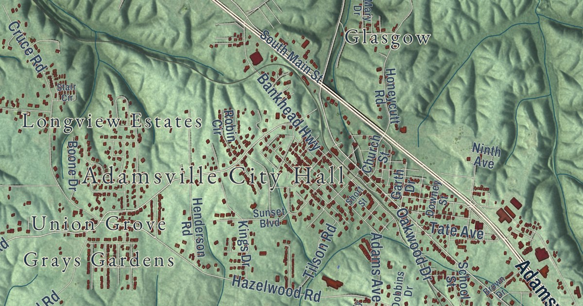
A detailed map of Adamsville, Alabama, showing every building in its true location, the roads by name, and shaded topographical relief.
Read More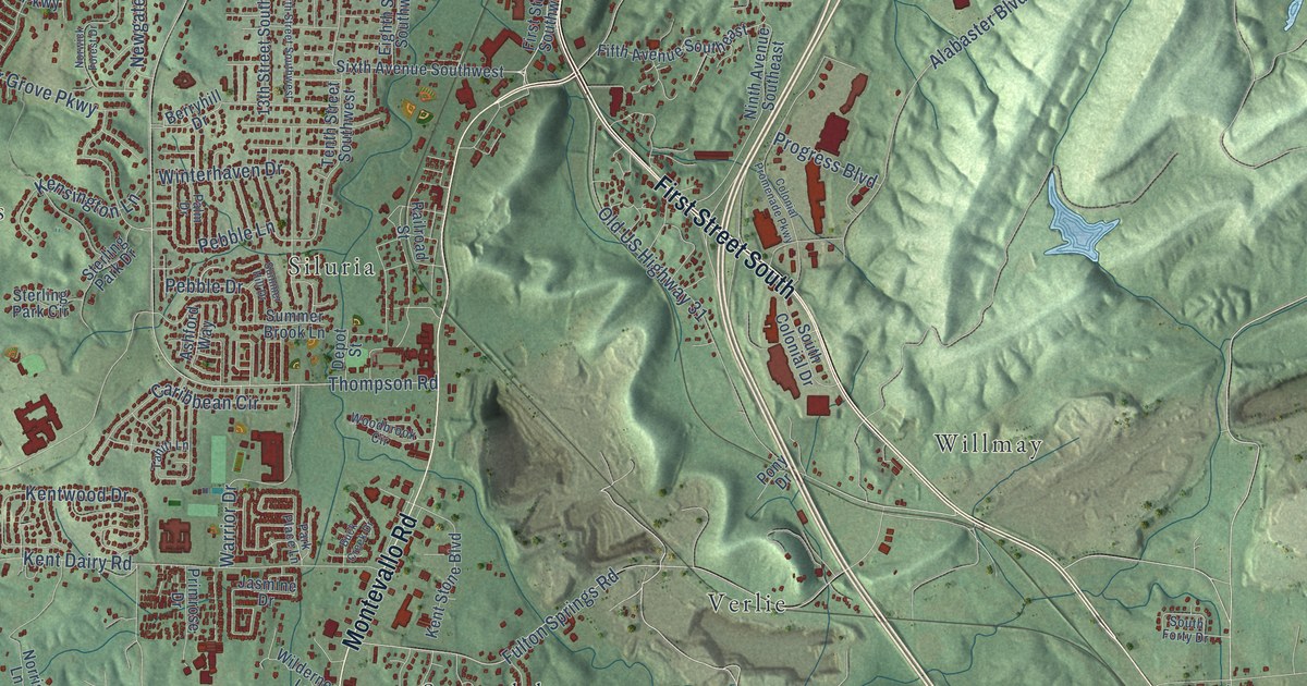
A detailed map of Alabaster, Alabama, showing every building in its true location, the roads by name, and shaded topographical relief.
Read More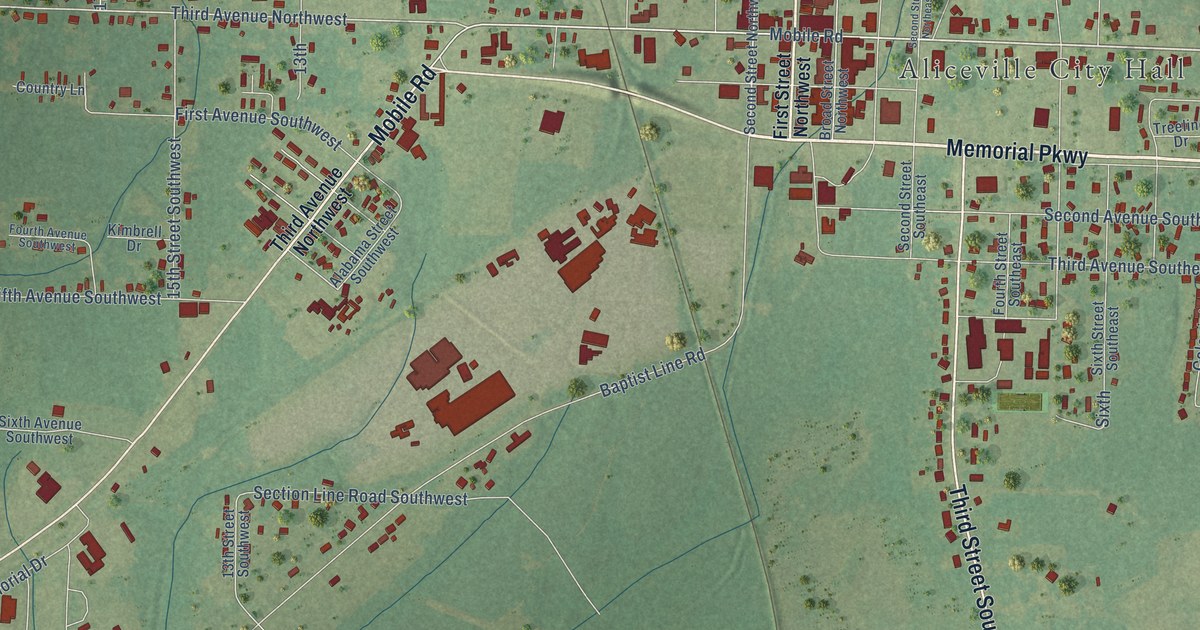
A detailed map of Aliceville, Alabama, showing every building in its true location, the roads by name, and shaded topographical relief.
Read More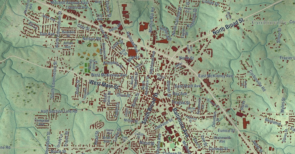
A detailed map of Albertville, Alabama, showing every building in its true location, the roads by name, and shaded topographical relief.
Read More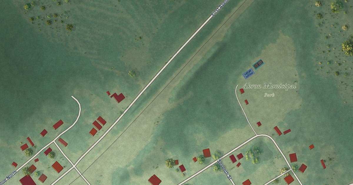
A detailed map of Akron, Alabama, showing every building in its true location, the roads by name, and shaded topographical relief.
Read More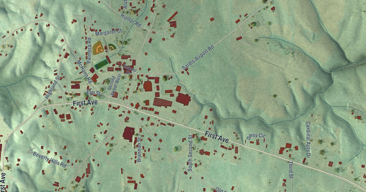
A detailed map of Addison, Alabama, showing every building in its true location, the roads by name, and shaded topographical relief.
Read More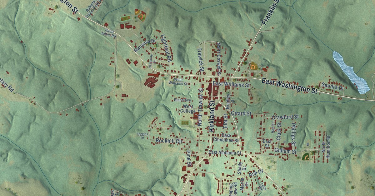
A detailed map of Abbeville, Alabama, showing every building in its true location, the roads by name, and shaded topographical relief.
Read More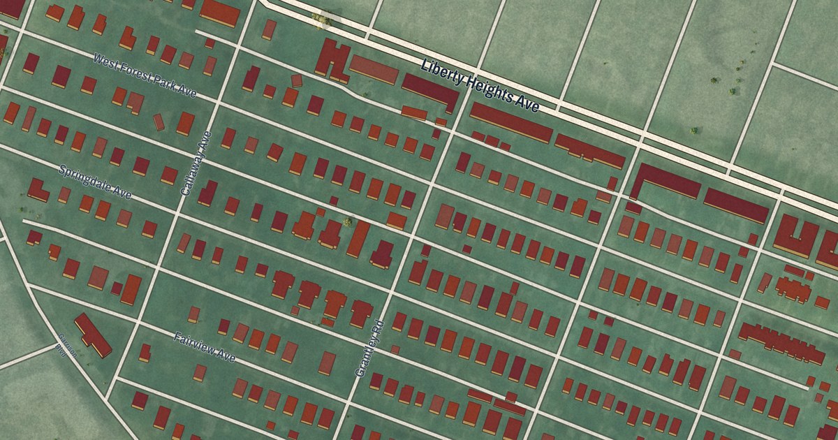
A detailed map of Forest Park, Maryland, showing every building in its true location, the roads by name, and shaded topographical relief.
Read More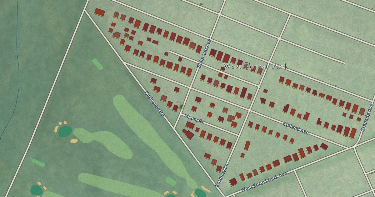
A detailed map of Forest Park Golf Course, Maryland, showing every building in its true location, the roads by name, and shaded topographical relief.
Read More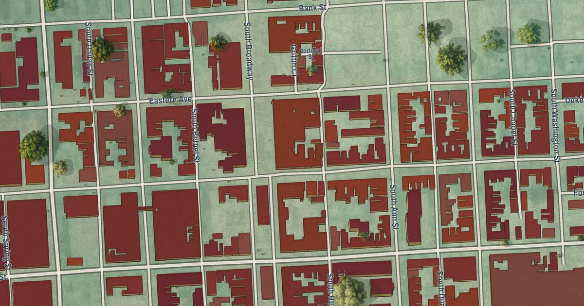
A detailed map of Fells Point, Maryland, showing every building in its true location, the roads by name, and shaded topographical relief.
Read More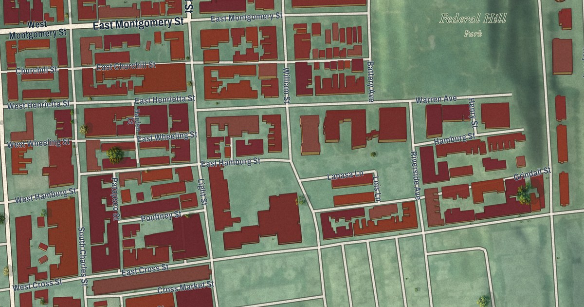
A detailed map of Federal Hill, Maryland, showing every building in its true location, the roads by name, and shaded topographical relief.
Read More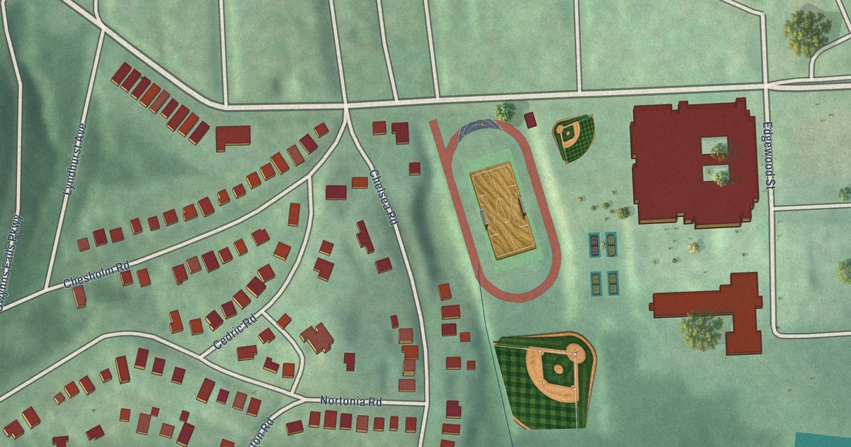
A detailed map of Fairmount, Maryland, showing every building in its true location, the roads by name, and shaded topographical relief.
Read More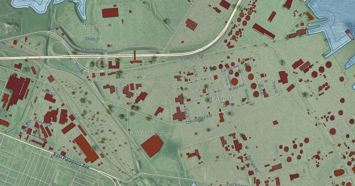
A detailed map of Fairfield Area, Maryland, showing every building in its true location, the roads by name, and shaded topographical relief.
Read More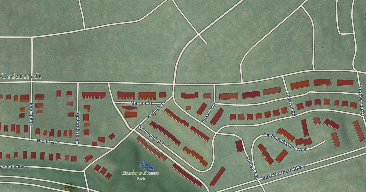
A detailed map of Evesham Park, Maryland, showing every building in its true location, the roads by name, and shaded topographical relief.
Read More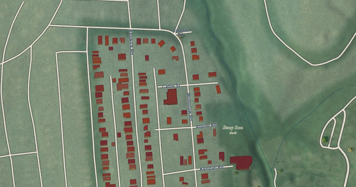
A detailed map of Evergreen, Maryland, showing every building in its true location, the roads by name, and shaded topographical relief.
Read More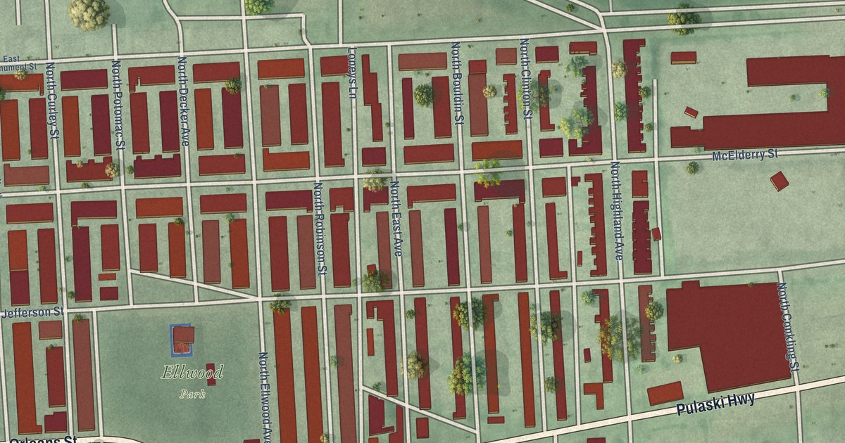
A detailed map of Ellwood Park/Monument, Maryland, showing every building in its true location, the roads by name, and shaded topographical relief.
Read More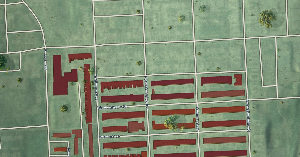
A detailed map of Evergreen Lawn, Maryland, showing every building in its true location, the roads by name, and shaded topographical relief.
Read More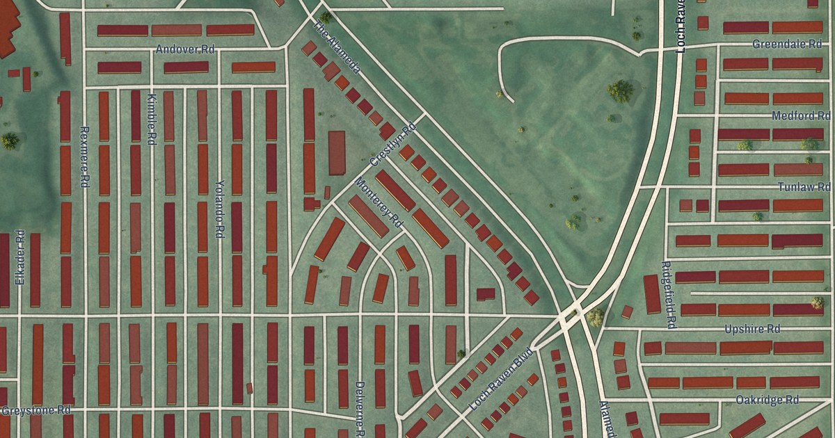
A detailed map of Ednor Gardens-Lakeside, Maryland, showing every building in its true location, the roads by name, and shaded topographical relief.
Read More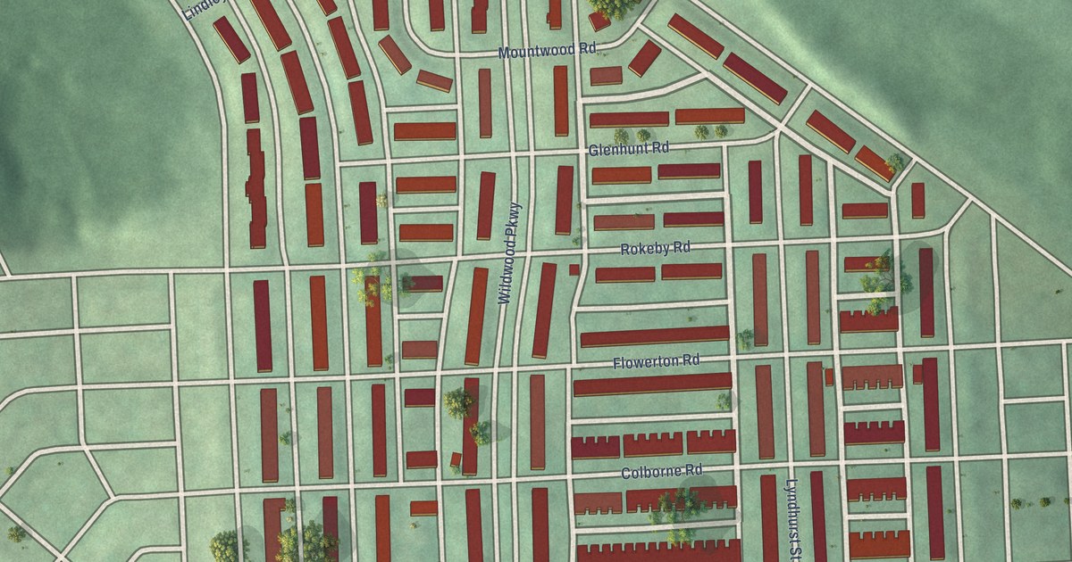
A detailed map of Edmondson Village, Maryland, showing every building in its true location, the roads by name, and shaded topographical relief.
Read More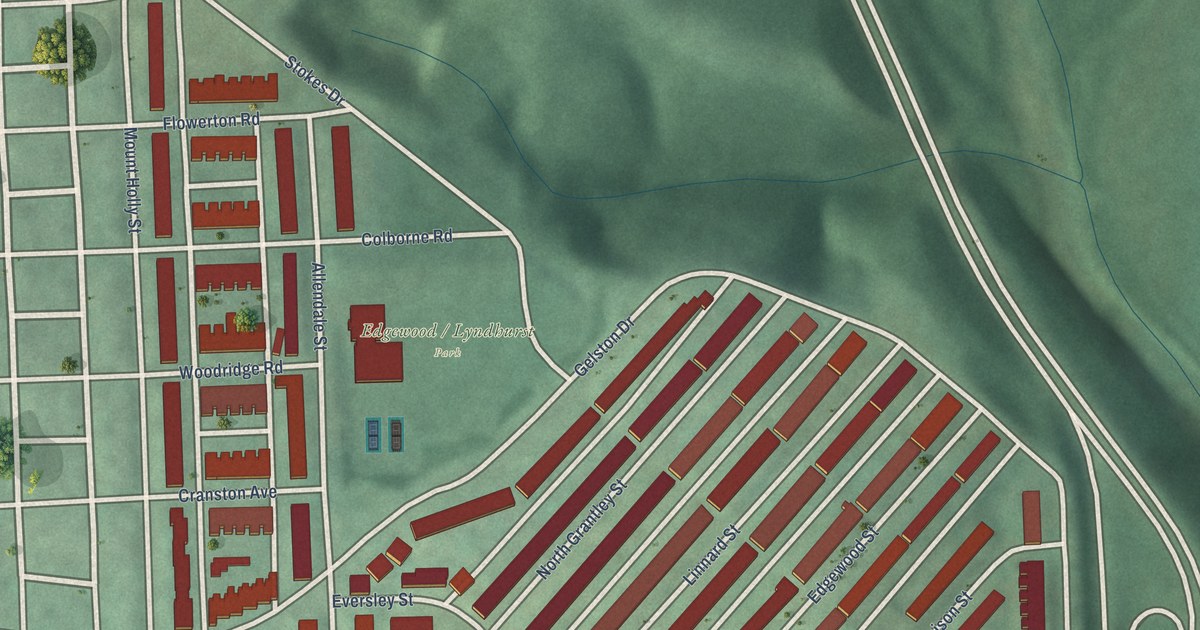
A detailed map of Edgewood, Maryland, showing every building in its true location, the roads by name, and shaded topographical relief.
Read More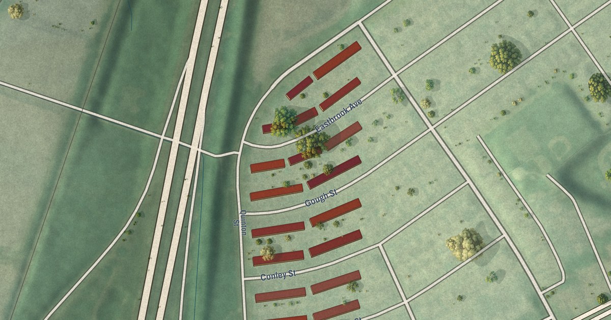
A detailed map of Eastwood, Maryland, showing every building in its true location, the roads by name, and shaded topographical relief.
Read More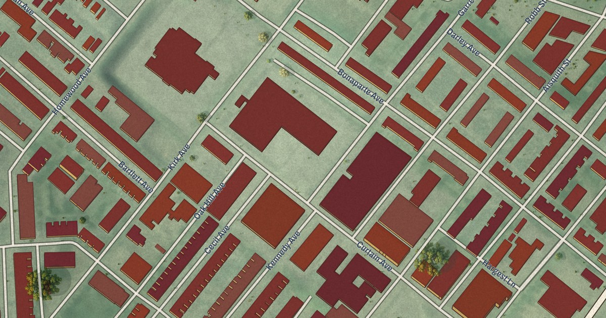
A detailed map of East Baltimore Midway, Maryland, showing every building in its true location, the roads by name, and shaded topographical relief.
Read More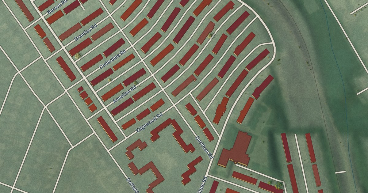
A detailed map of East Arlington, Maryland, showing every building in its true location, the roads by name, and shaded topographical relief.
Read More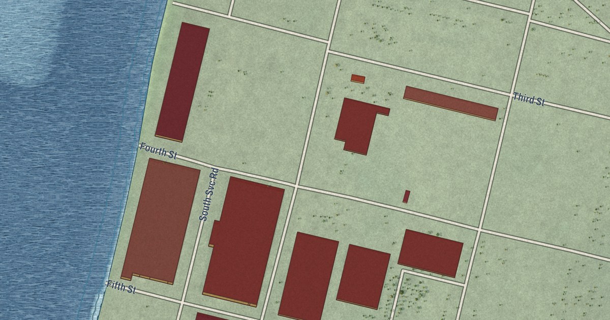
A detailed map of Dundalk Marine Terminal, Maryland, showing every building in its true location, the roads by name, and shaded topographical relief.
Read More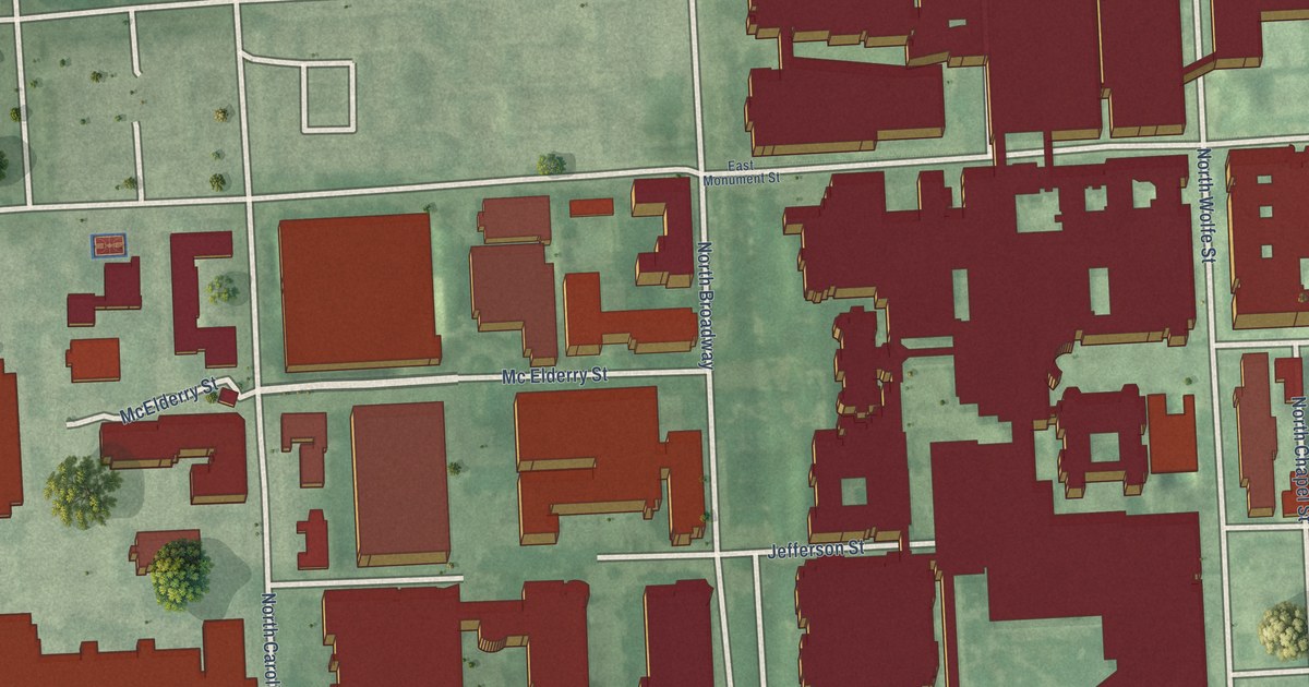
A detailed map of Dunbar-Broadway, Maryland, showing every building in its true location, the roads by name, and shaded topographical relief.
Read More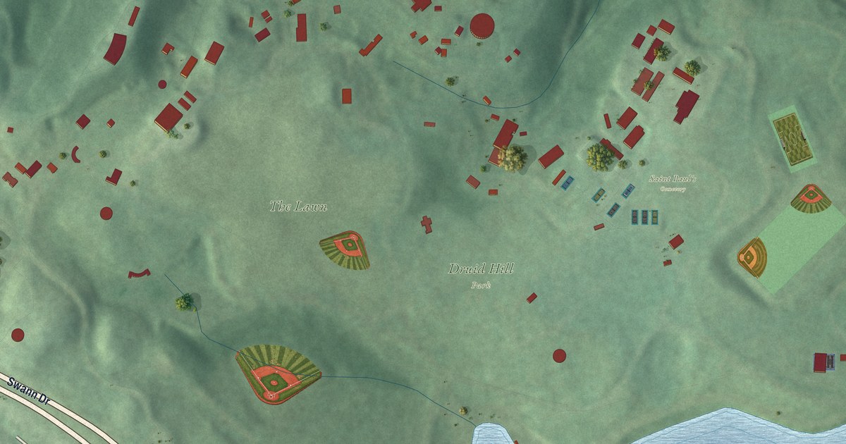
A detailed map of Druid Hill Park, Maryland, showing every building in its true location, the roads by name, and shaded topographical relief.
Read More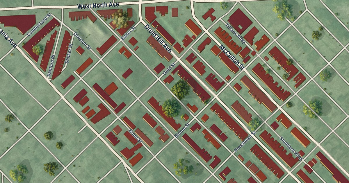
A detailed map of Druid Heights, Maryland, showing every building in its true location, the roads by name, and shaded topographical relief.
Read More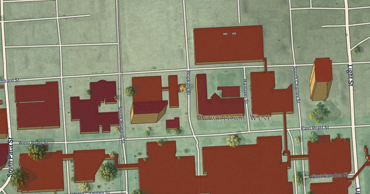
A detailed map of Downtown West, Maryland, showing every building in its true location, the roads by name, and shaded topographical relief.
Read More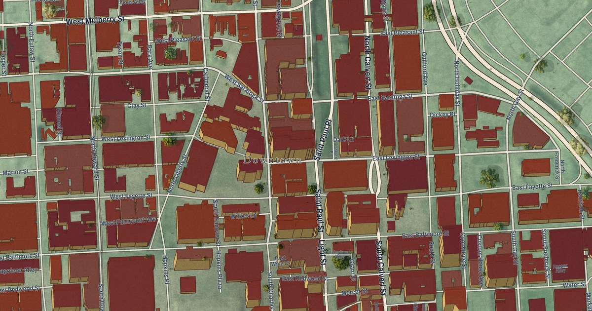
A detailed map of Downtown, Maryland, showing every building in its true location, the roads by name, and shaded topographical relief.
Read More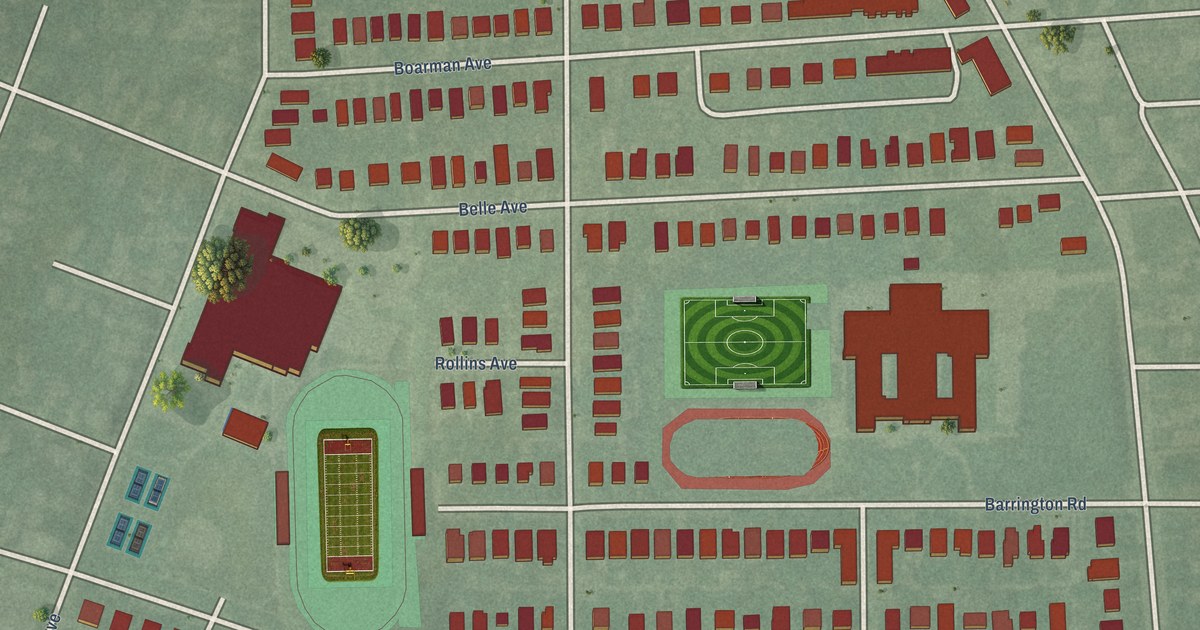
A detailed map of Dorchester, Maryland, showing every building in its true location, the roads by name, and shaded topographical relief.
Read More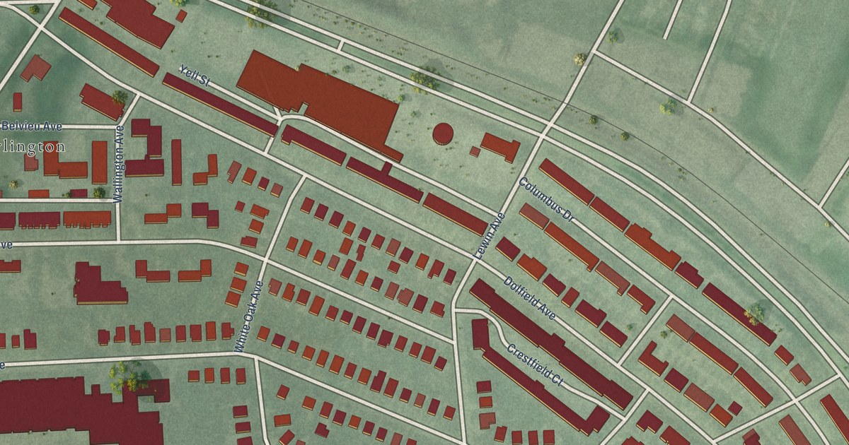
A detailed map of Dolfield, Maryland, showing every building in its true location, the roads by name, and shaded topographical relief.
Read More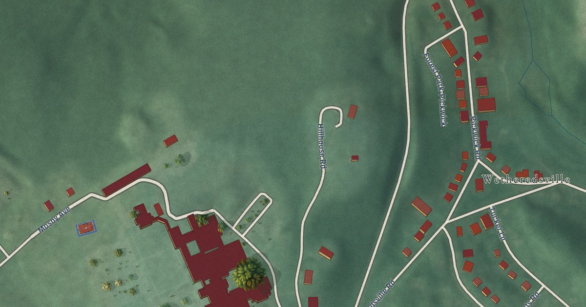
A detailed map of Dickeyville, Maryland, showing every building in its true location, the roads by name, and shaded topographical relief.
Read More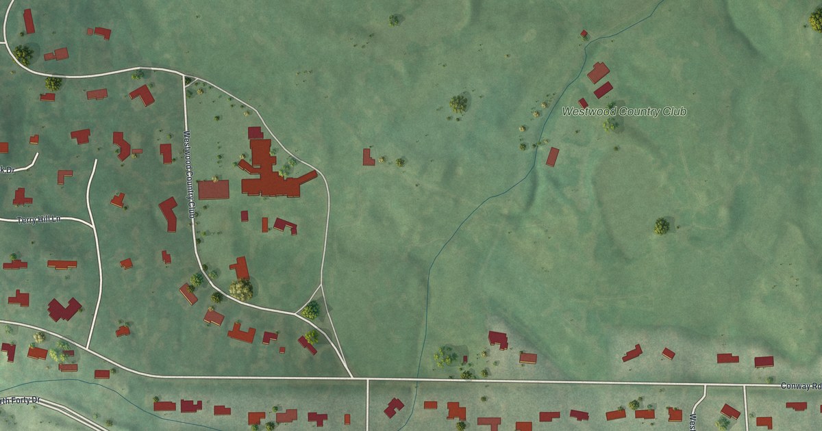
A detailed map of Westwood, Missouri, showing every building in its true location, the roads by name, and shaded topographical relief.
Read More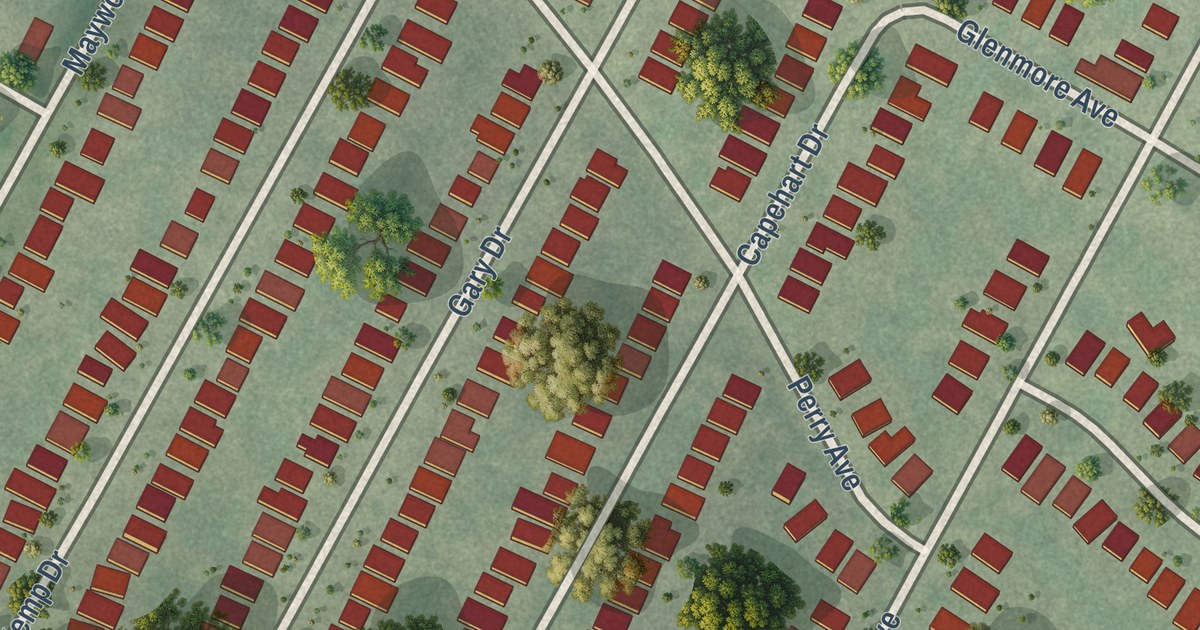
A detailed map of Velda Village Hills, Missouri, showing every building in its true location, the roads by name, and shaded topographical relief.
Read More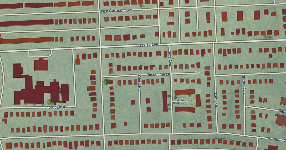
A detailed map of Cylburn, Maryland, showing every building in its true location, the roads by name, and shaded topographical relief.
Read More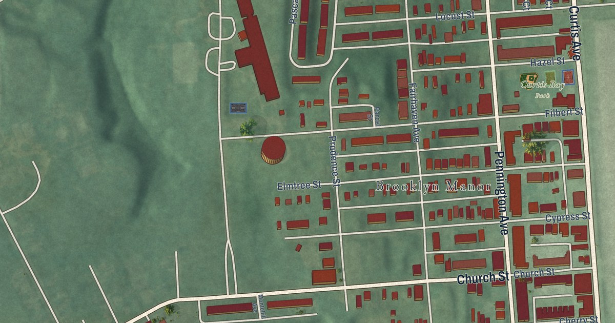
A detailed map of Curtis Bay, Maryland, showing every building in its true location, the roads by name, and shaded topographical relief.
Read More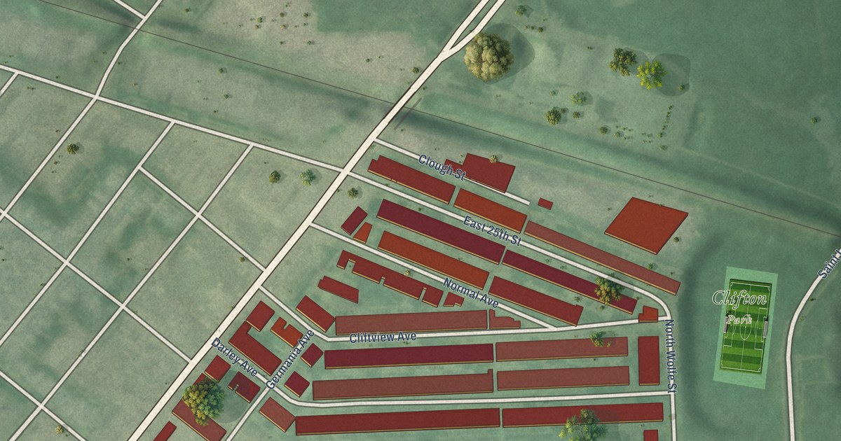
A detailed map of Darley Park, Maryland, showing every building in its true location, the roads by name, and shaded topographical relief.
Read More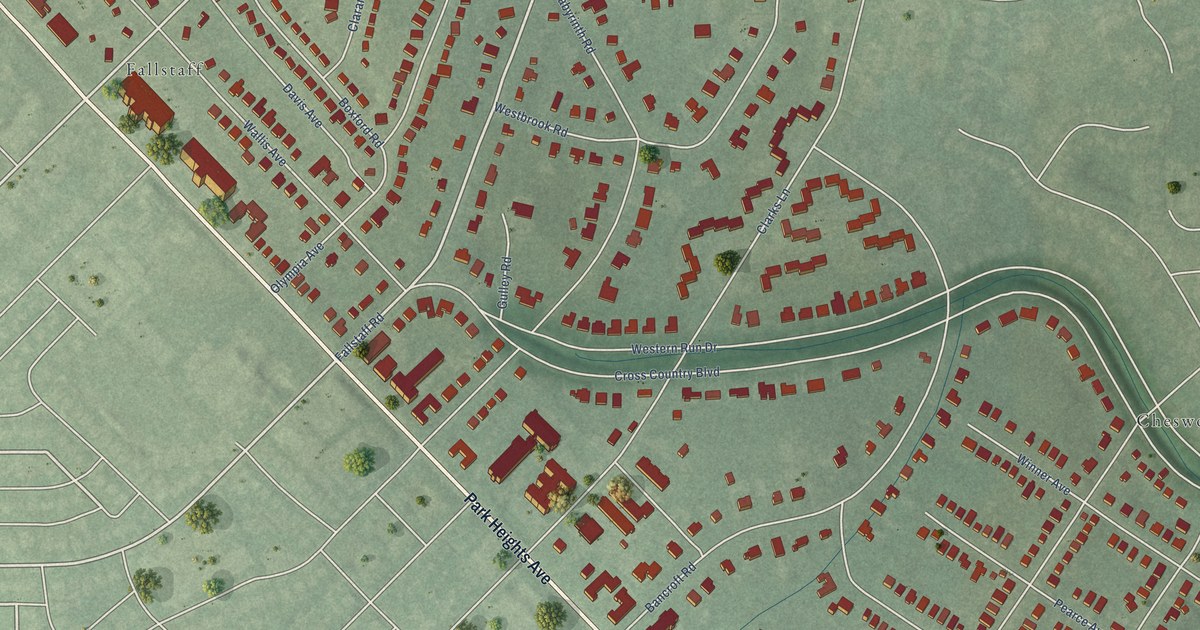
A detailed map of Cross Country, Maryland, showing every building in its true location, the roads by name, and shaded topographical relief.
Read More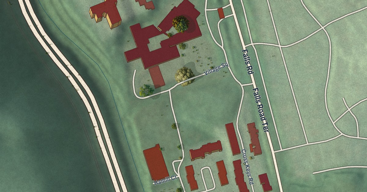
A detailed map of Cross Keys, Maryland, showing every building in its true location, the roads by name, and shaded topographical relief.
Read More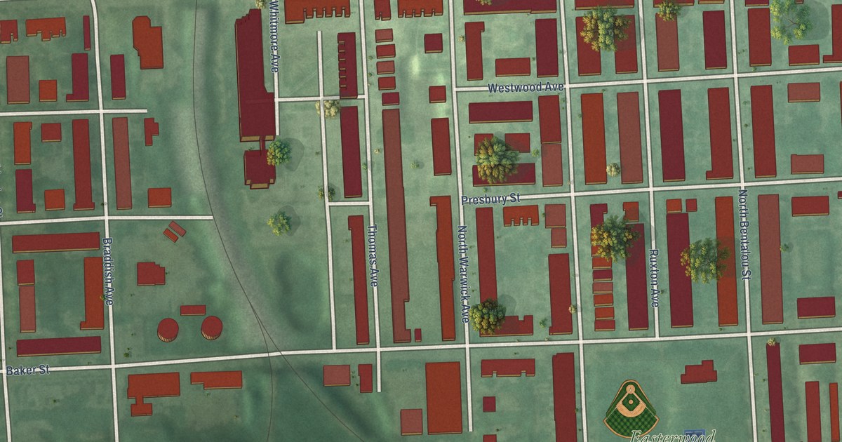
A detailed map of Coppin Heights/Ash-Co-East, Maryland, showing every building in its true location, the roads by name, and shaded topographical relief.
Read More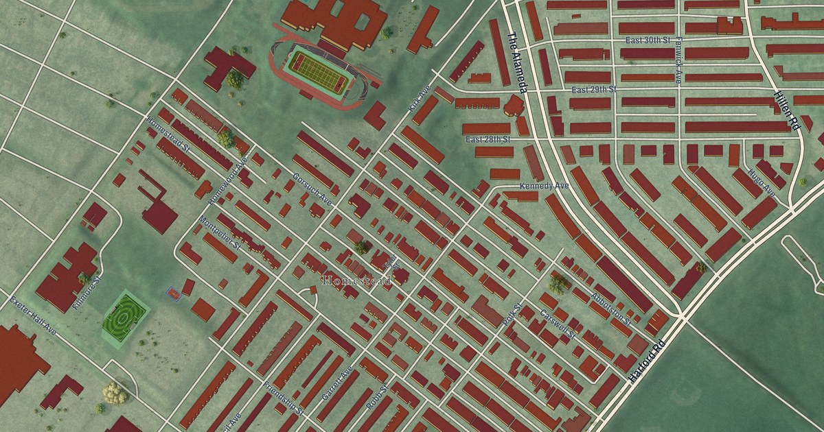
A detailed map of Coldstream Homestead Montebello, Maryland, showing every building in its true location, the roads by name, and shaded topographical relief.
Read More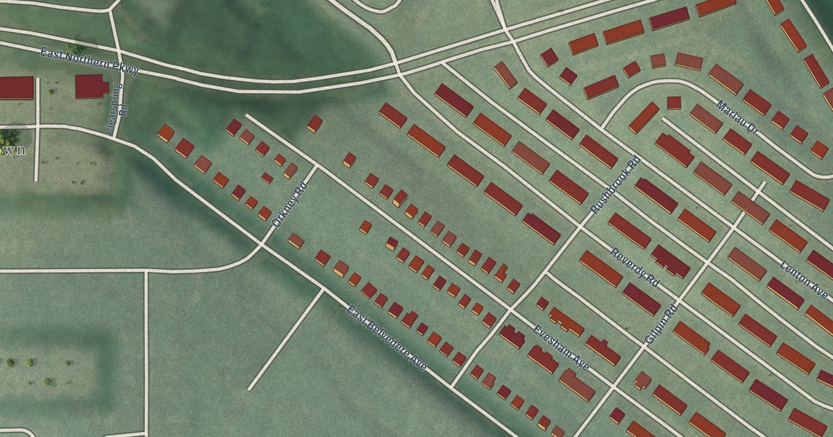
A detailed map of Chinquapin Park, Maryland, showing every building in its true location, the roads by name, and shaded topographical relief.
Read More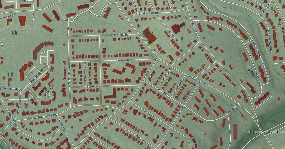
A detailed map of Cheswolde, Maryland, showing every building in its true location, the roads by name, and shaded topographical relief.
Read More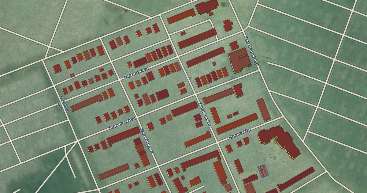
A detailed map of Concerned Citizens of Forest Park, Maryland, showing every building in its true location, the roads by name, and shaded topographical relief.
Read More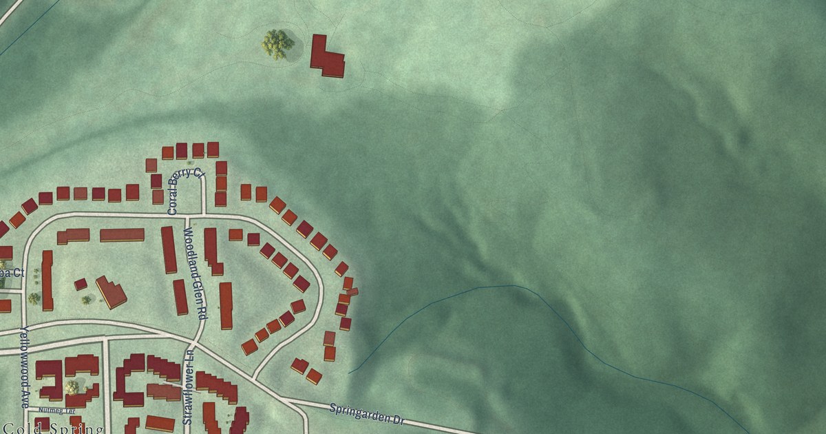
A detailed map of Coldspring, Maryland, showing every building in its true location, the roads by name, and shaded topographical relief.
Read More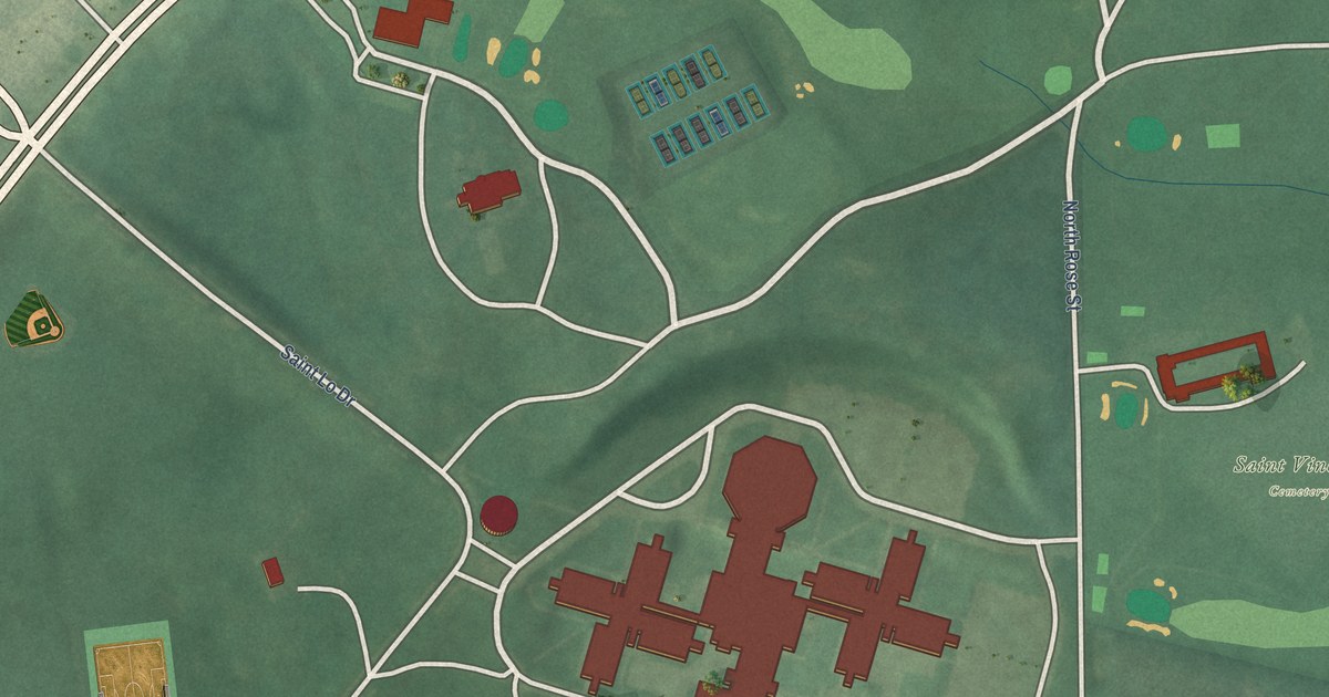
A detailed map of Clifton Park, Maryland, showing every building in its true location, the roads by name, and shaded topographical relief.
Read More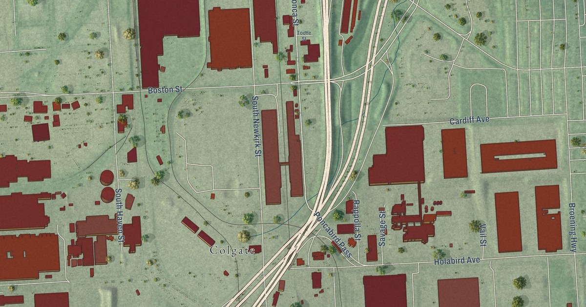
A detailed map of Canton Industrial Area, Maryland, showing every building in its true location, the roads by name, and shaded topographical relief.
Read More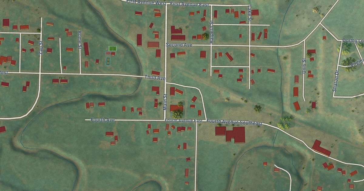
A detailed map of Zap, North Dakota, showing every building in its true location, the roads by name, and shaded topographical relief.
Read More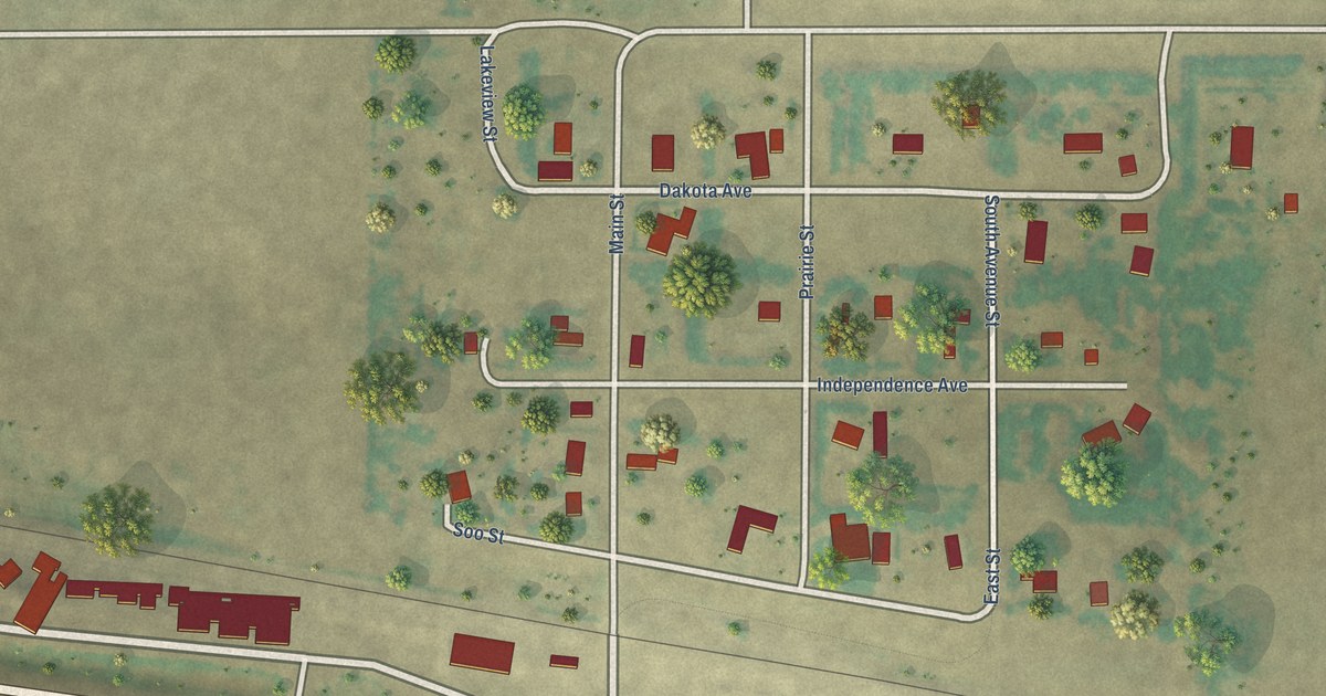
A detailed map of Voltaire, North Dakota, showing every building in its true location, the roads by name, and shaded topographical relief.
Read More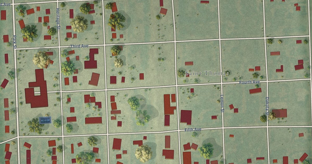
A detailed map of St. Thomas, North Dakota, showing every building in its true location, the roads by name, and shaded topographical relief.
Read More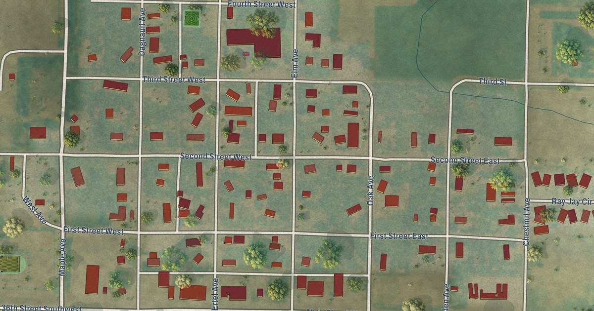
A detailed map of Taylor, North Dakota, showing every building in its true location, the roads by name, and shaded topographical relief.
Read More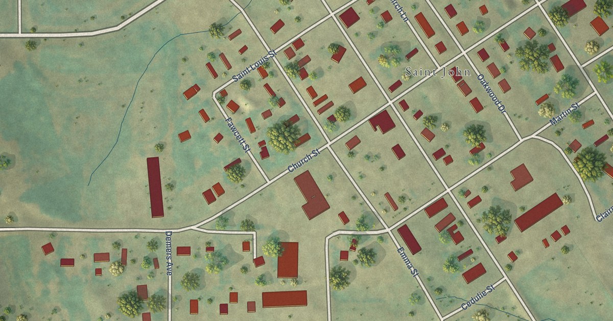
A detailed map of St. John, North Dakota, showing every building in its true location, the roads by name, and shaded topographical relief.
Read More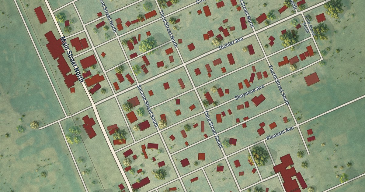
A detailed map of Sheyenne, North Dakota, showing every building in its true location, the roads by name, and shaded topographical relief.
Read More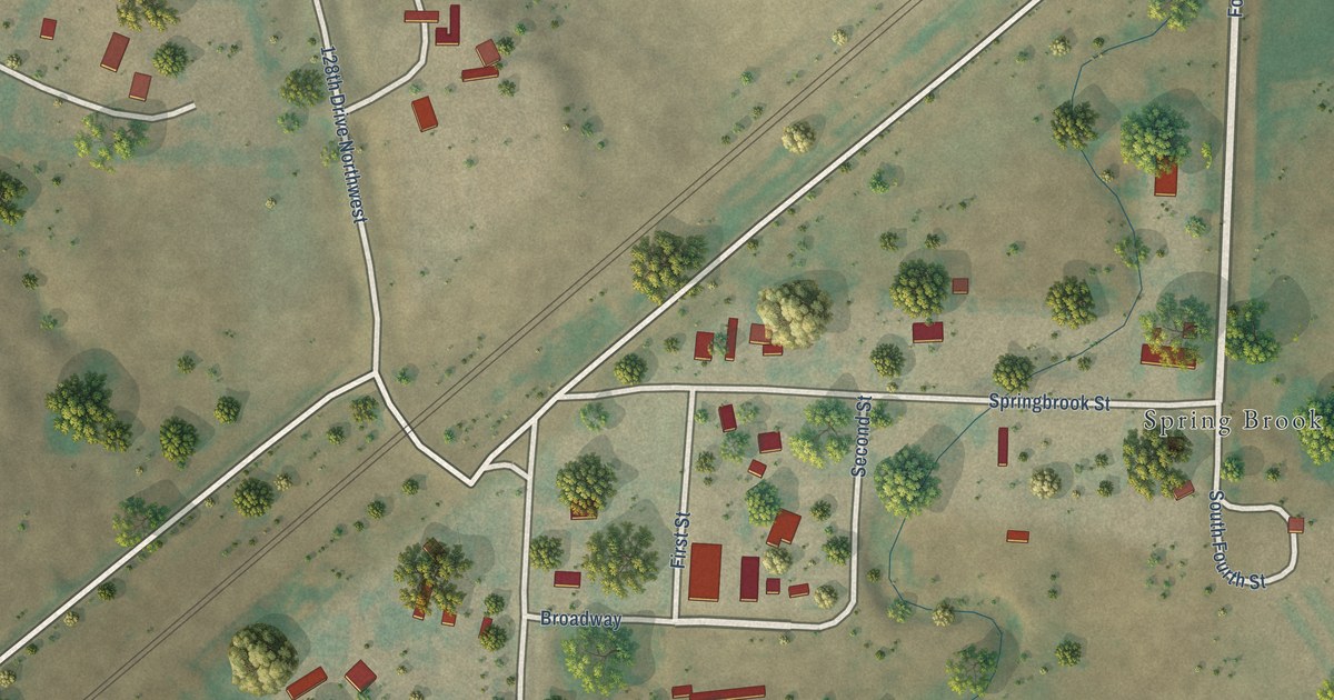
A detailed map of Springbrook, North Dakota, showing every building in its true location, the roads by name, and shaded topographical relief.
Read More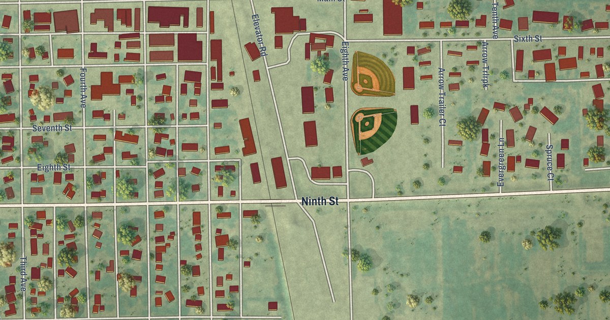
A detailed map of Cando, North Dakota, showing every building in its true location, the roads by name, and shaded topographical relief.
Read More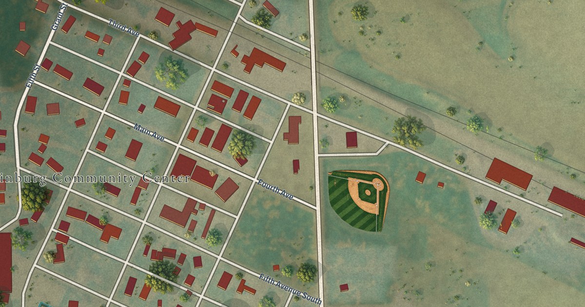
A detailed map of Edinburg, North Dakota, showing every building in its true location, the roads by name, and shaded topographical relief.
Read More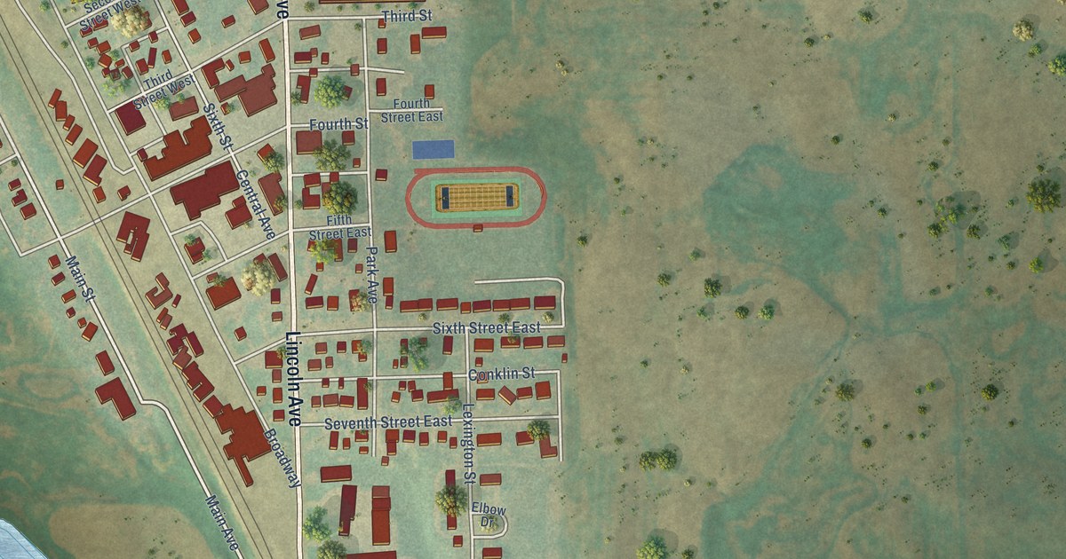
A detailed map of Finley, North Dakota, showing every building in its true location, the roads by name, and shaded topographical relief.
Read More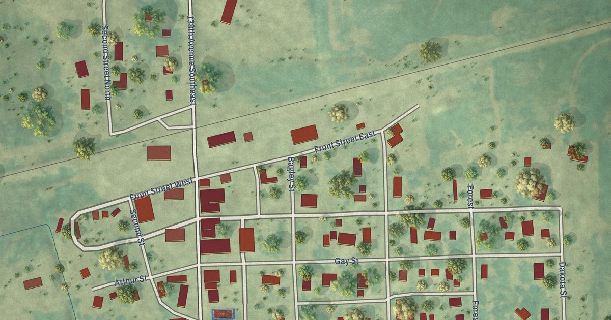
A detailed map of Rutland, North Dakota, showing every building in its true location, the roads by name, and shaded topographical relief.
Read More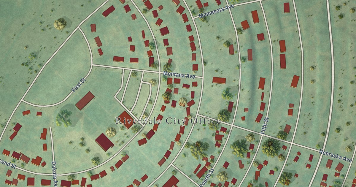
A detailed map of Riverdale, North Dakota, showing every building in its true location, the roads by name, and shaded topographical relief.
Read More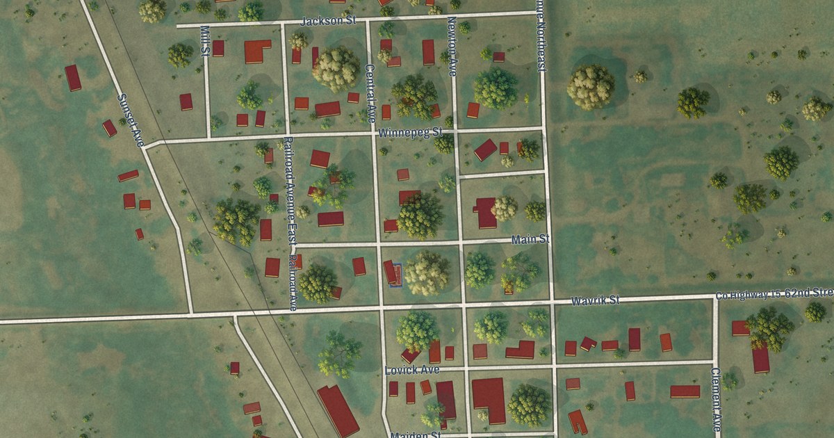
A detailed map of Pisek, North Dakota, showing every building in its true location, the roads by name, and shaded topographical relief.
Read More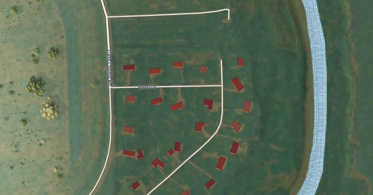
A detailed map of North River, North Dakota, showing every building in its true location, the roads by name, and shaded topographical relief.
Read More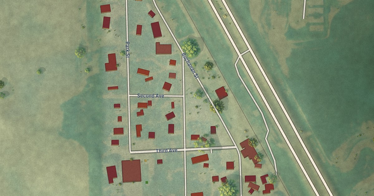
A detailed map of Buchanan, North Dakota, showing every building in its true location, the roads by name, and shaded topographical relief.
Read More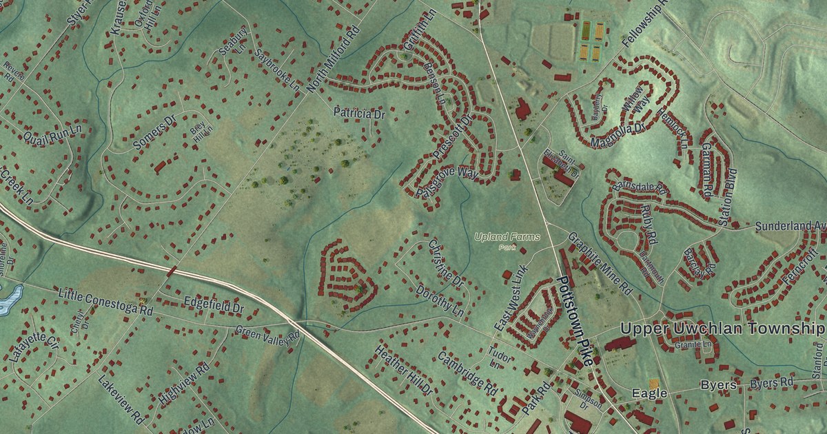
A detailed map of Upper Uwchlan, Pennsylvania, showing every building in its true location, the roads by name, and shaded topographical relief.
Read More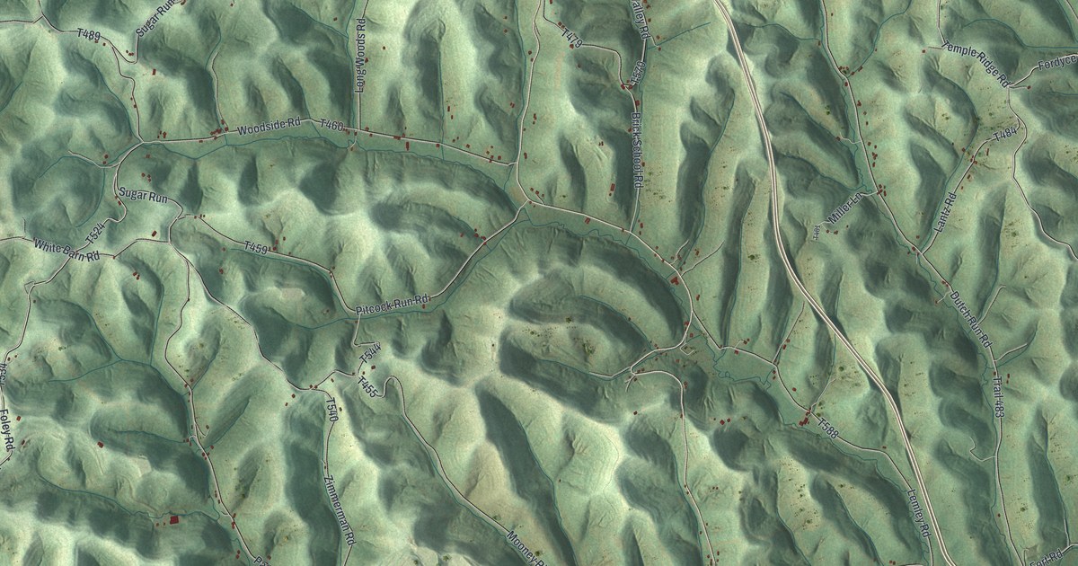
A detailed map of Whiteley, Pennsylvania, showing every building in its true location, the roads by name, and shaded topographical relief.
Read More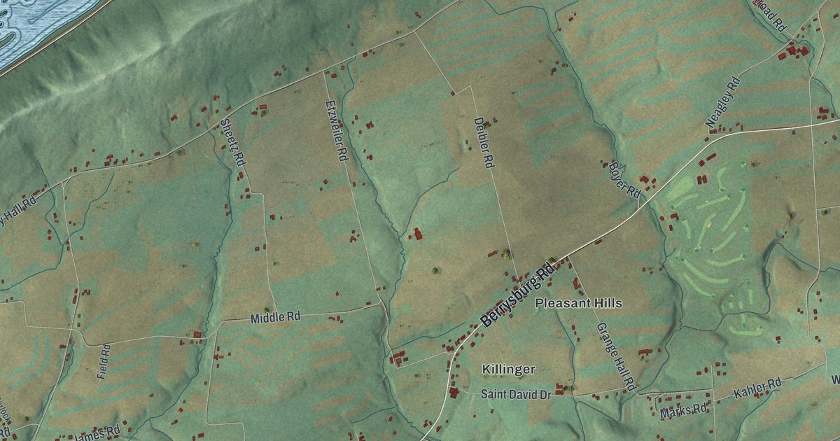
A detailed map of Upper Paxton, Pennsylvania, showing every building in its true location, the roads by name, and shaded topographical relief.
Read More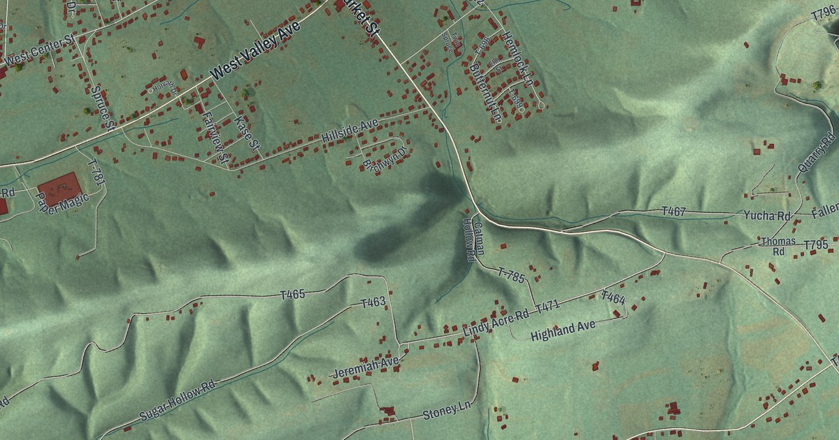
A detailed map of Ralpho, Pennsylvania, showing every building in its true location, the roads by name, and shaded topographical relief.
Read More















