Detailed Map of Forest River, North Dakota
A detailed map of Forest River, North Dakota, showing every building in its true location, the roads by name, and shaded topographical relief.
Read More
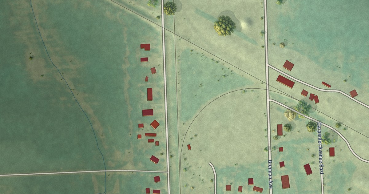
A detailed map of Forest River, North Dakota, showing every building in its true location, the roads by name, and shaded topographical relief.
Read More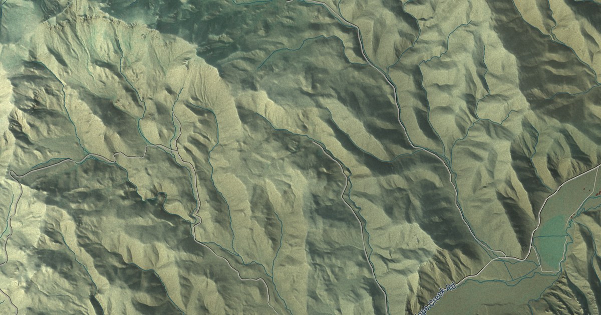
A detailed map of Lost River, Idaho, showing every building in its true location, the roads by name, and shaded topographical relief.
Read More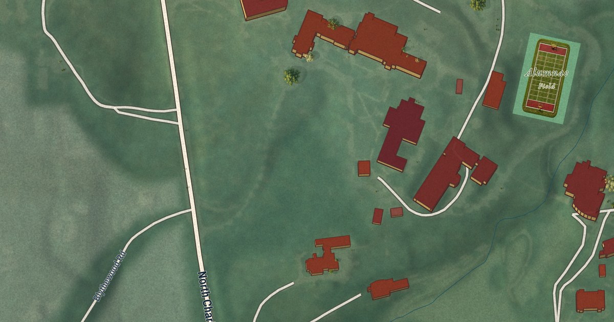
A detailed map of Loyola/Notre Dame, Maryland, showing every building in its true location, the roads by name, and shaded topographical relief.
Read More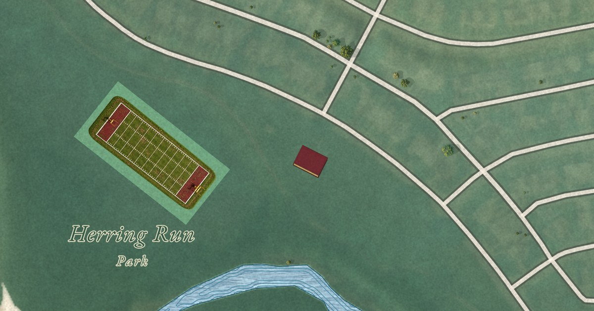
A detailed map of Lower Herring Run Park, Maryland, showing every building in its true location, the roads by name, and shaded topographical relief.
Read More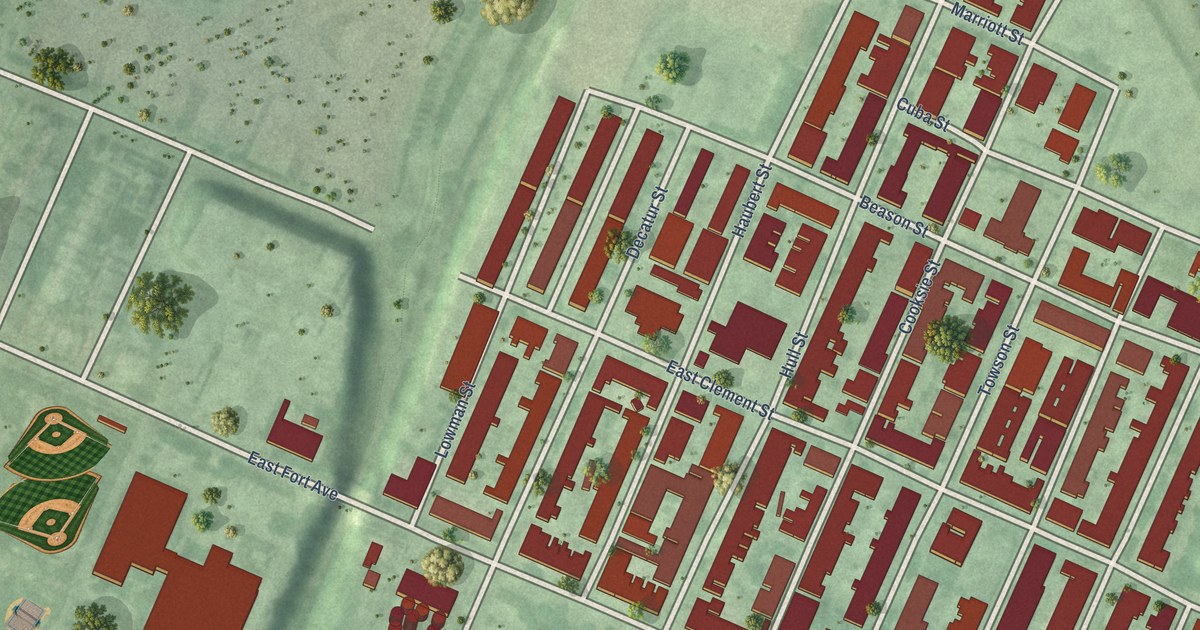
A detailed map of Locust Point, Maryland, showing every building in its true location, the roads by name, and shaded topographical relief.
Read More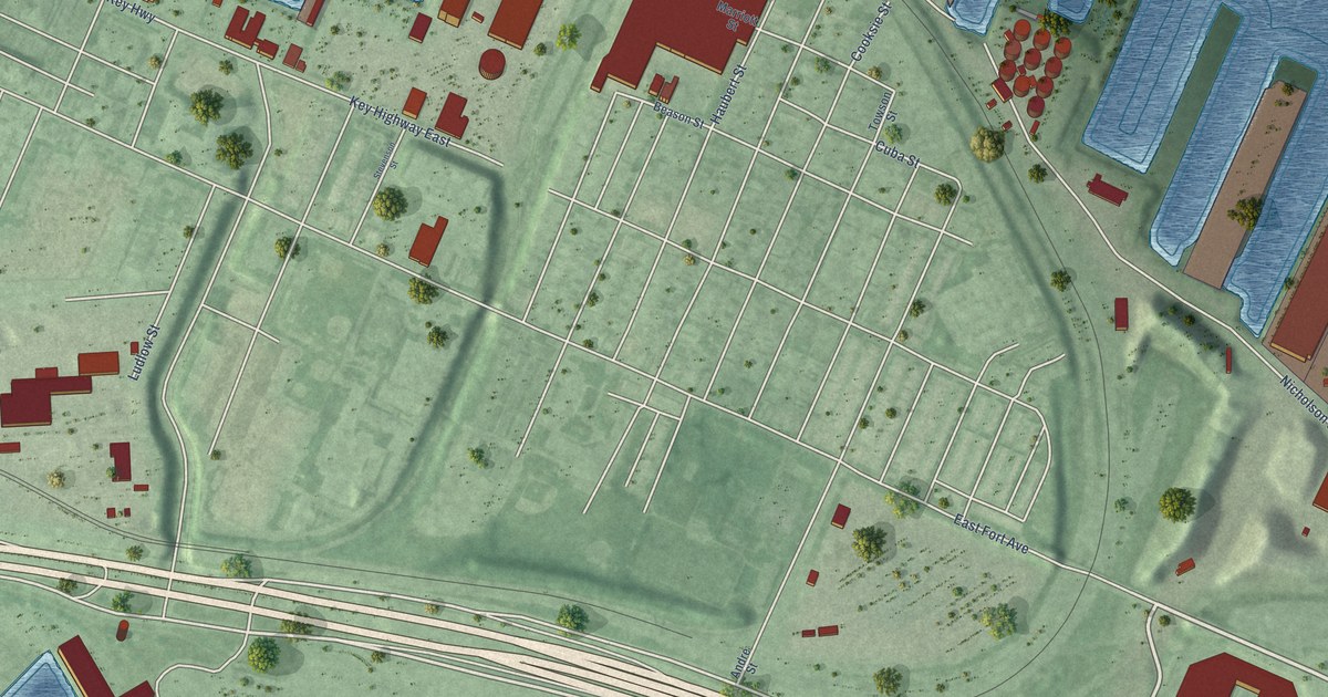
A detailed map of Locust Point Industrial Area, Maryland, showing every building in its true location, the roads by name, and shaded topographical relief.
Read More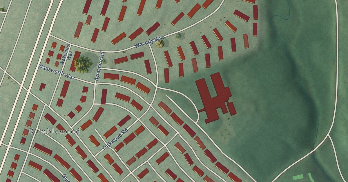
A detailed map of Loch Raven, Maryland, showing every building in its true location, the roads by name, and shaded topographical relief.
Read More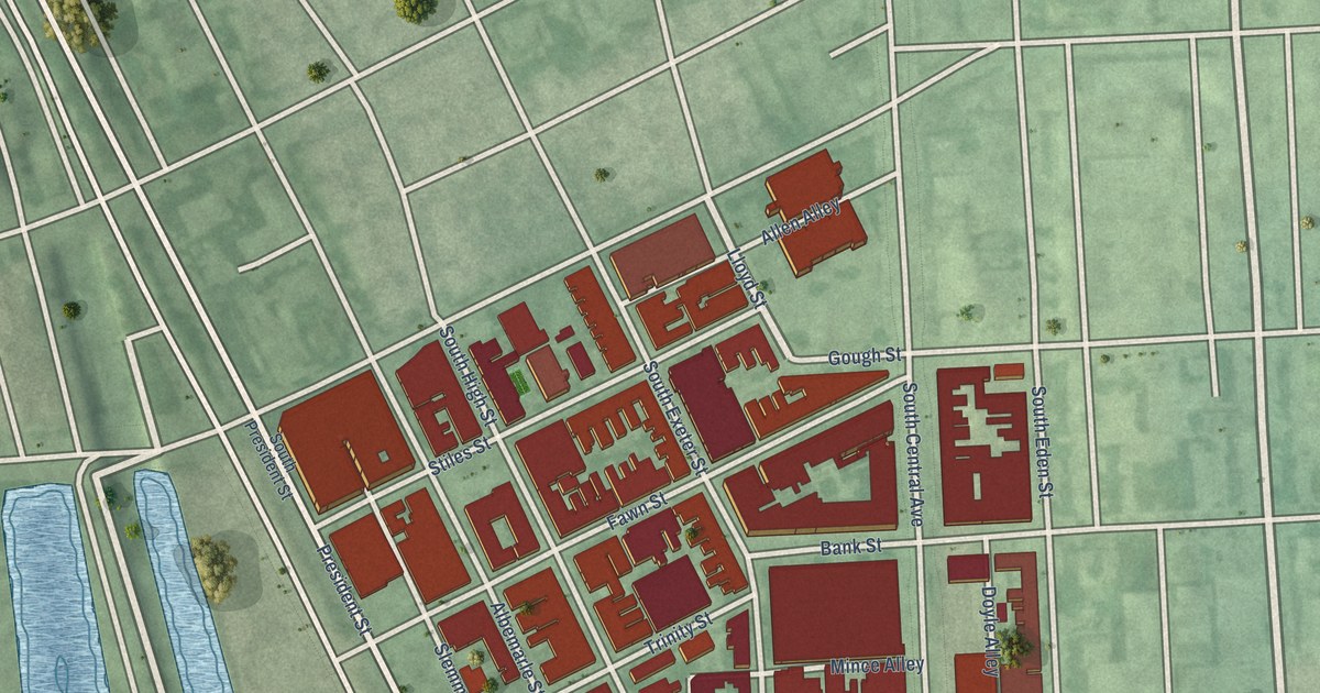
A detailed map of Little Italy, Maryland, showing every building in its true location, the roads by name, and shaded topographical relief.
Read More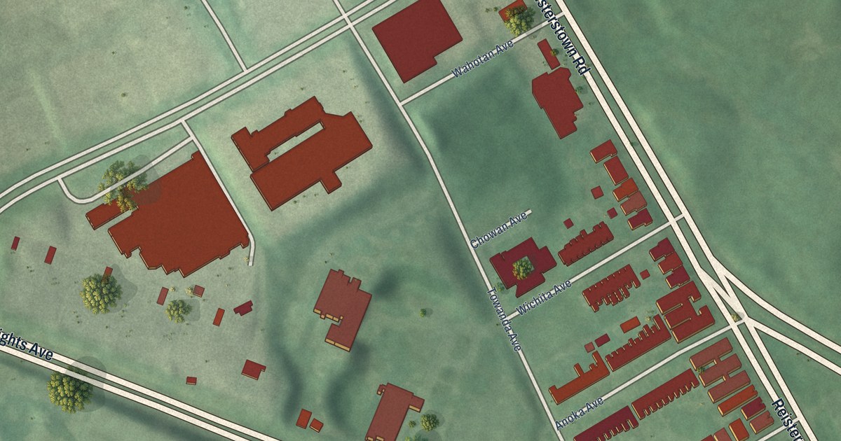
A detailed map of Liberty Square, Maryland, showing every building in its true location, the roads by name, and shaded topographical relief.
Read More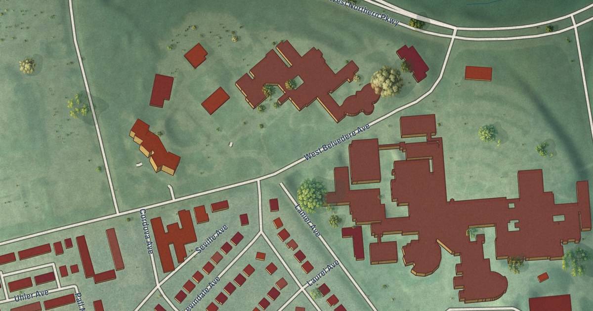
A detailed map of Levindale, Maryland, showing every building in its true location, the roads by name, and shaded topographical relief.
Read More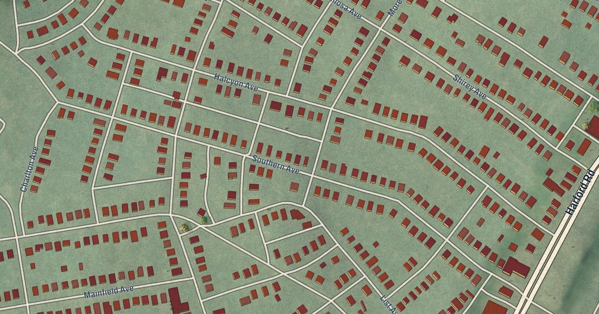
A detailed map of Lauraville, Maryland, showing every building in its true location, the roads by name, and shaded topographical relief.
Read More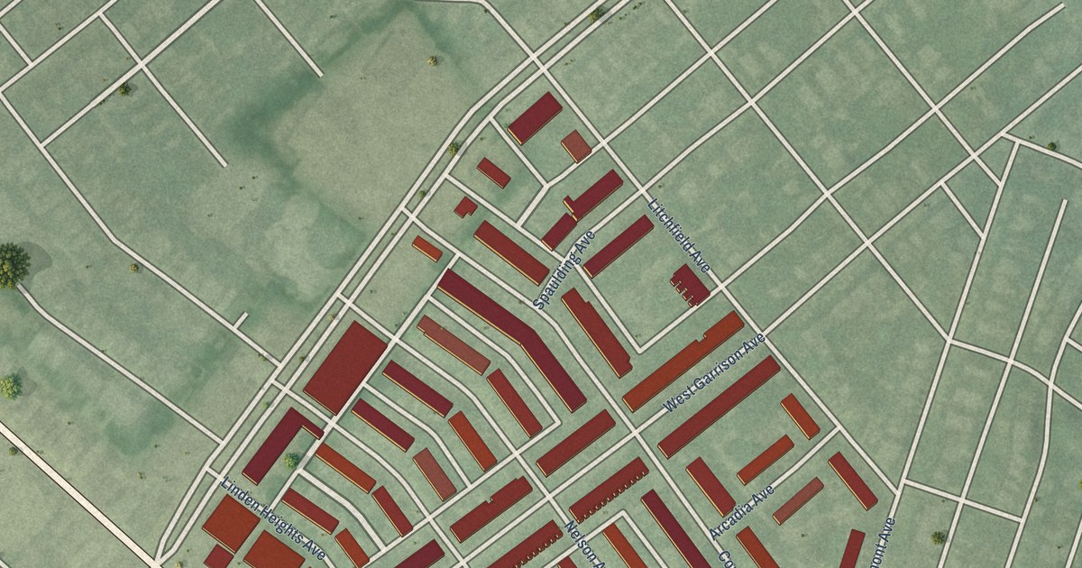
A detailed map of Langston Hughes, Maryland, showing every building in its true location, the roads by name, and shaded topographical relief.
Read More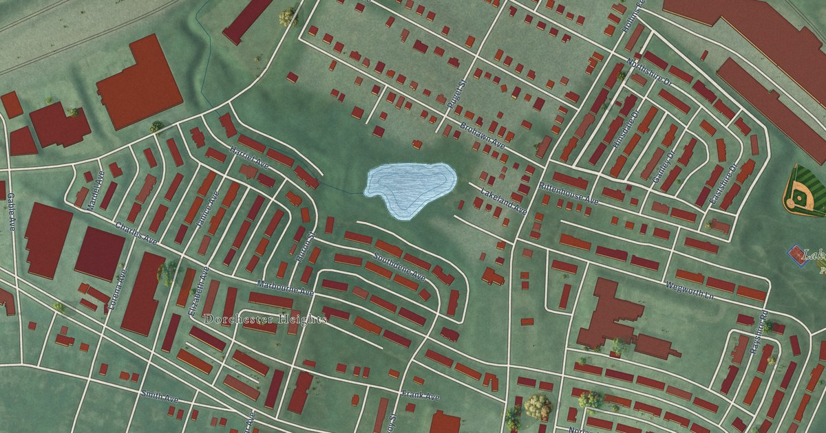
A detailed map of Lakeland, Maryland, showing every building in its true location, the roads by name, and shaded topographical relief.
Read More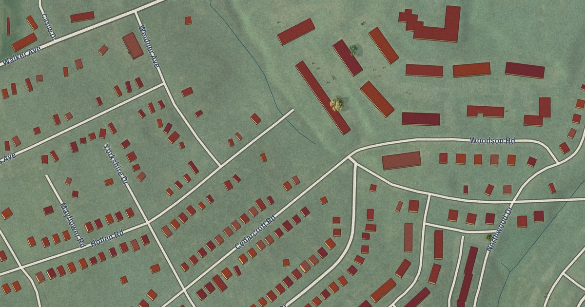
A detailed map of Lake Walker, Maryland, showing every building in its true location, the roads by name, and shaded topographical relief.
Read More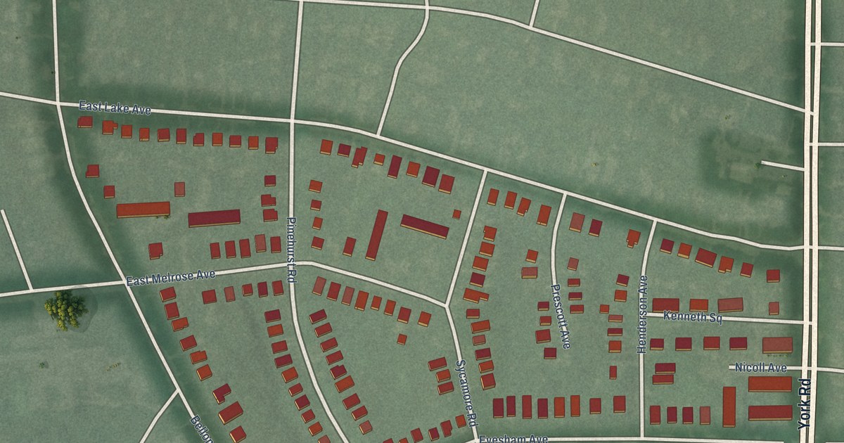
A detailed map of Lake Evesham, Maryland, showing every building in its true location, the roads by name, and shaded topographical relief.
Read More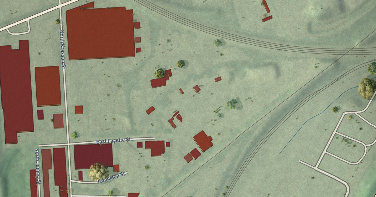
A detailed map of Kresson, Maryland, showing every building in its true location, the roads by name, and shaded topographical relief.
Read More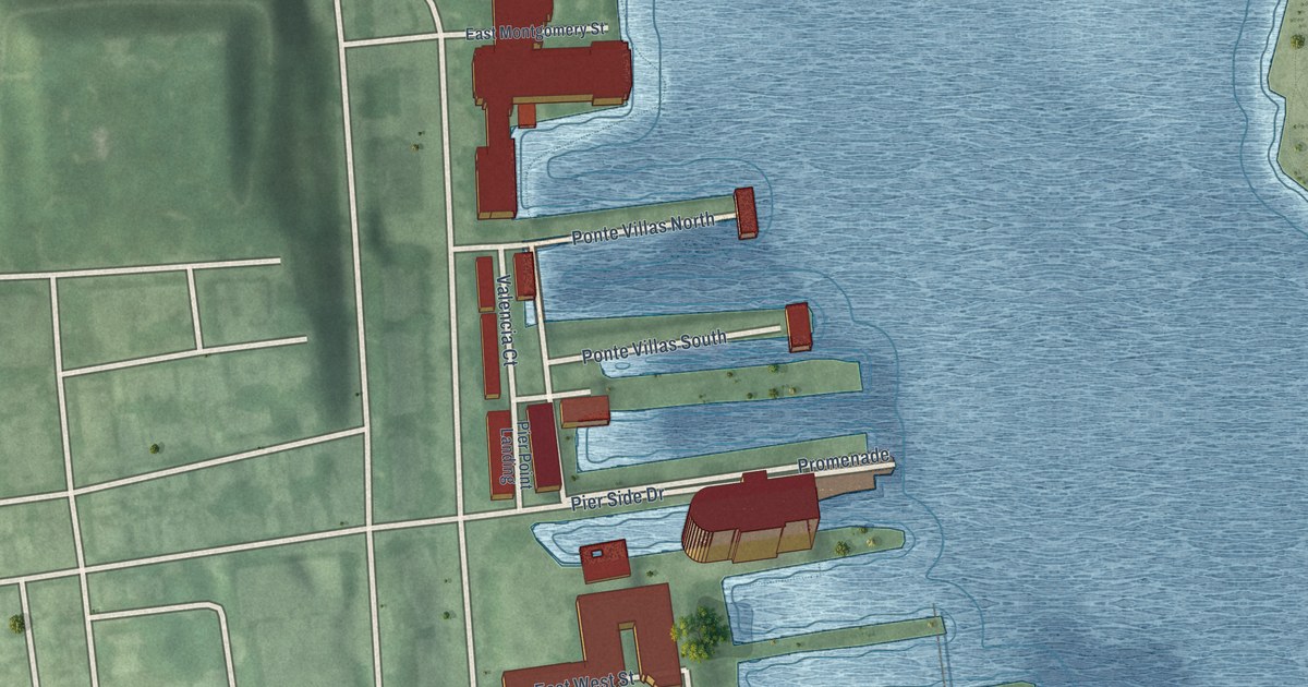
A detailed map of Key Highway, Maryland, showing every building in its true location, the roads by name, and shaded topographical relief.
Read More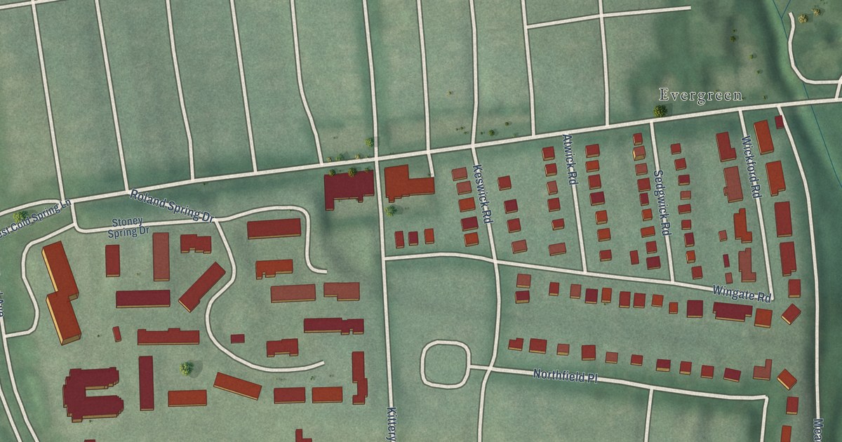
A detailed map of Keswick, Maryland, showing every building in its true location, the roads by name, and shaded topographical relief.
Read More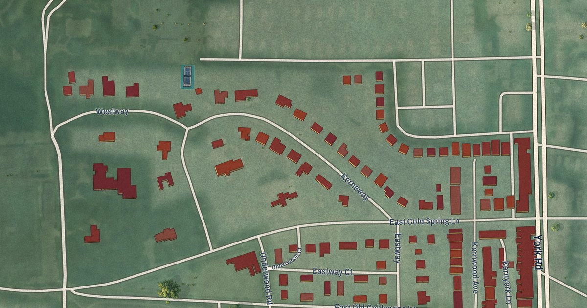
A detailed map of Kernewood, Maryland, showing every building in its true location, the roads by name, and shaded topographical relief.
Read More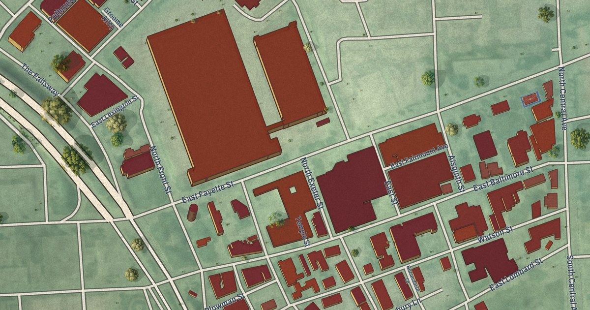
A detailed map of Jonestown, Maryland, showing every building in its true location, the roads by name, and shaded topographical relief.
Read More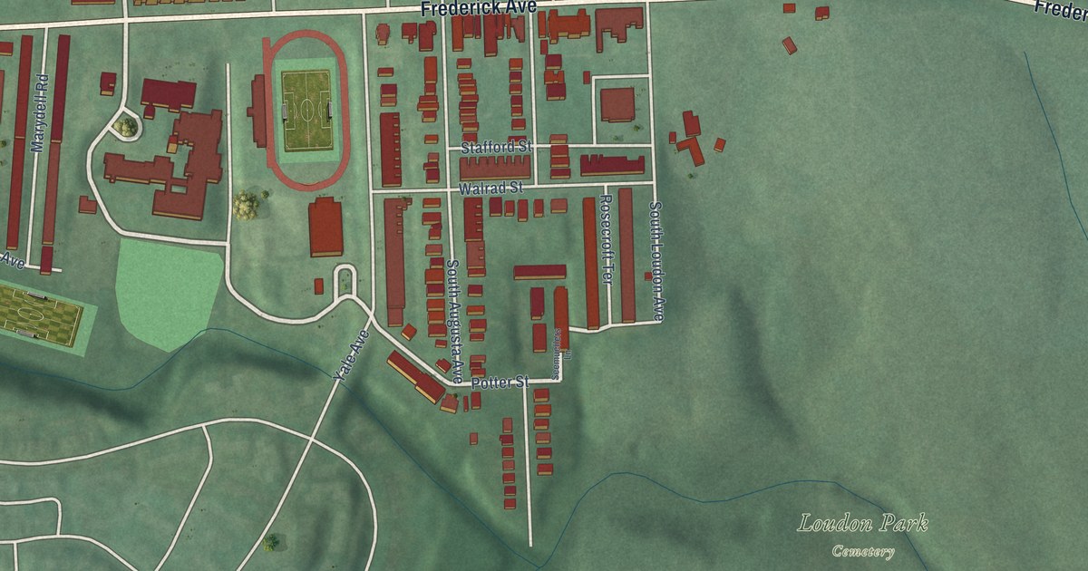
A detailed map of Irvington, Maryland, showing every building in its true location, the roads by name, and shaded topographical relief.
Read More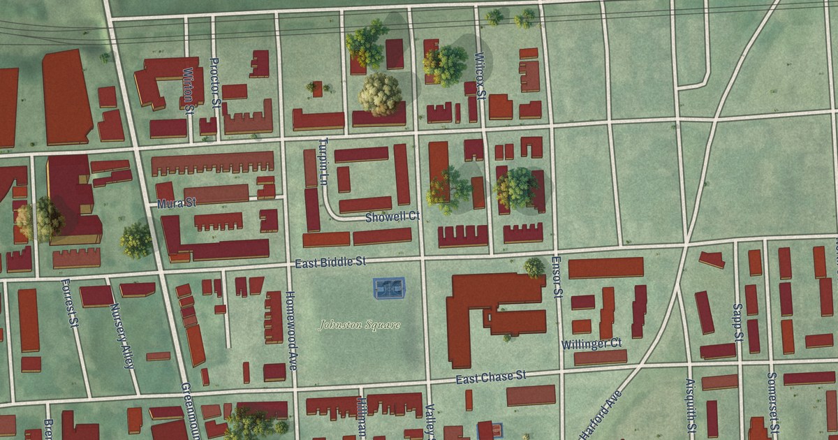
A detailed map of Johnston Square, Maryland, showing every building in its true location, the roads by name, and shaded topographical relief.
Read More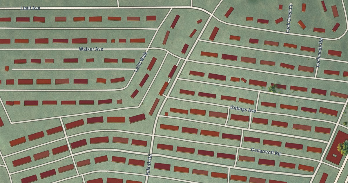
A detailed map of Idlewood, Maryland, showing every building in its true location, the roads by name, and shaded topographical relief.
Read More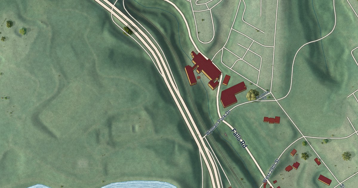
A detailed map of Jones Falls Area, Maryland, showing every building in its true location, the roads by name, and shaded topographical relief.
Read More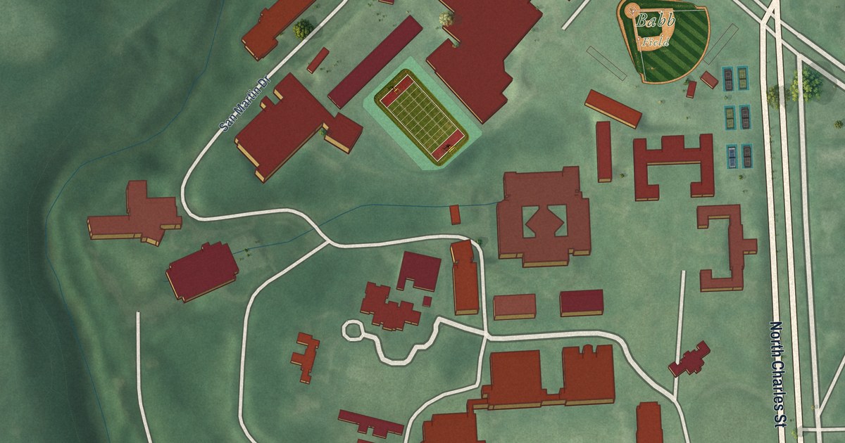
A detailed map of Johns Hopkins Homewood, Maryland, showing every building in its true location, the roads by name, and shaded topographical relief.
Read More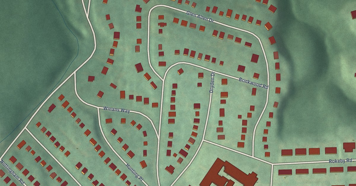
A detailed map of Hunting Ridge, Maryland, showing every building in its true location, the roads by name, and shaded topographical relief.
Read More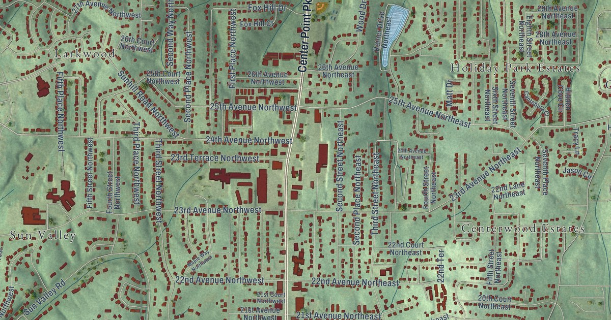
A detailed map of Center Point, Alabama, showing every building in its true location, the roads by name, and shaded topographical relief.
Read More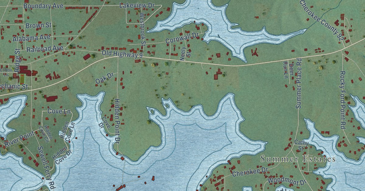
A detailed map of Cedar Bluff, Alabama, showing every building in its true location, the roads by name, and shaded topographical relief.
Read More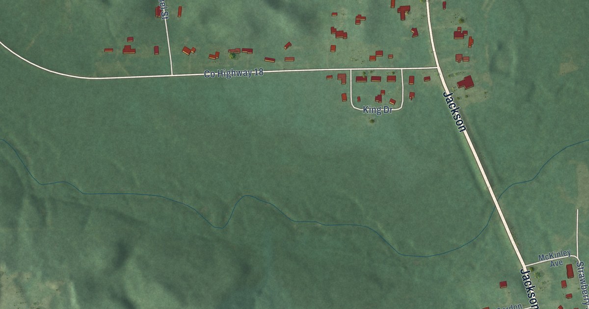
A detailed map of Castleberry, Alabama, showing every building in its true location, the roads by name, and shaded topographical relief.
Read More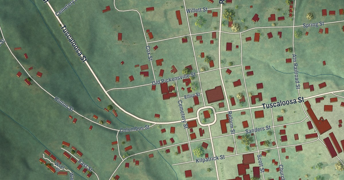
A detailed map of Carrollton, Alabama, showing every building in its true location, the roads by name, and shaded topographical relief.
Read More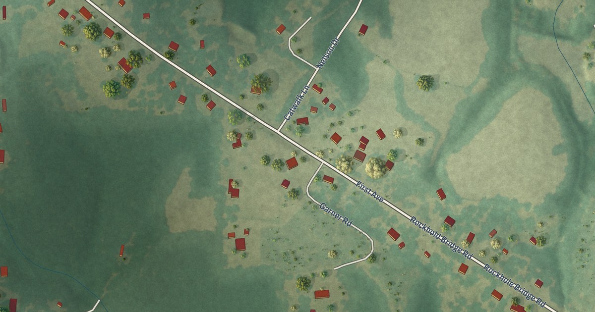
A detailed map of Carolina, Alabama, showing every building in its true location, the roads by name, and shaded topographical relief.
Read More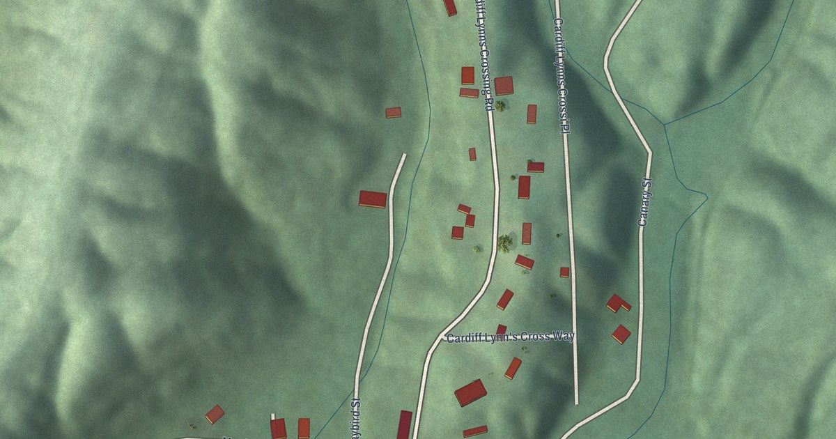
A detailed map of Cardiff, Alabama, showing every building in its true location, the roads by name, and shaded topographical relief.
Read More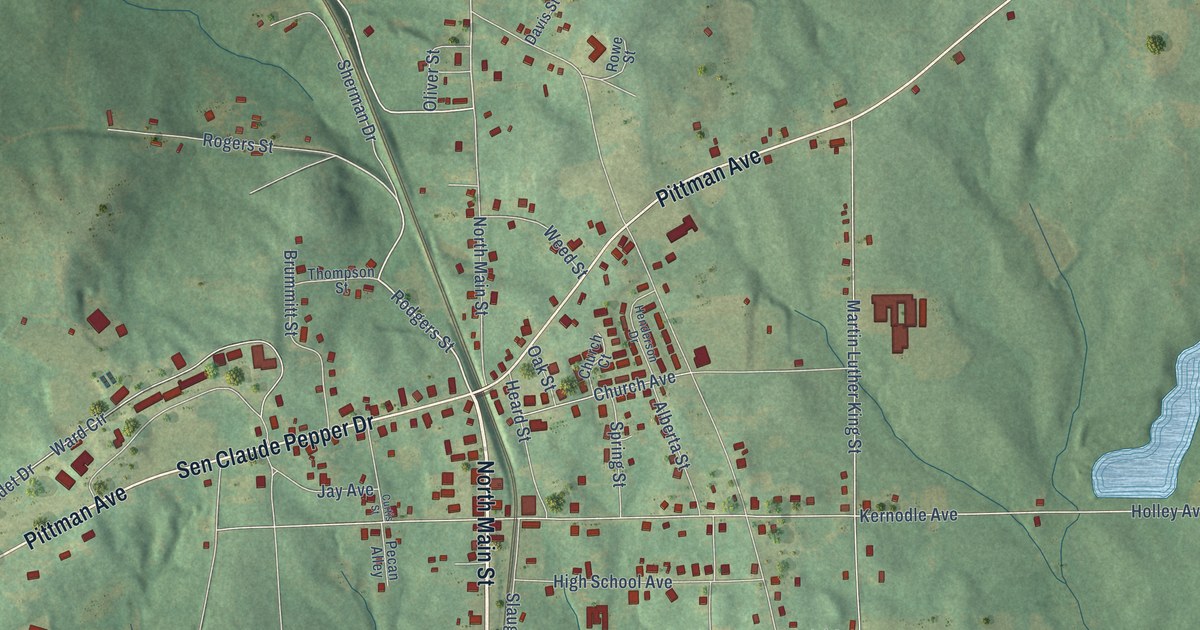
A detailed map of Camp Hill, Alabama, showing every building in its true location, the roads by name, and shaded topographical relief.
Read More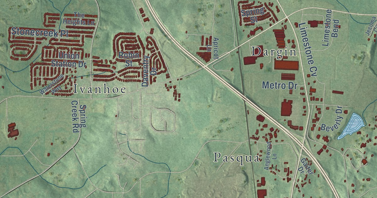
A detailed map of Calera, Alabama, showing every building in its true location, the roads by name, and shaded topographical relief.
Read More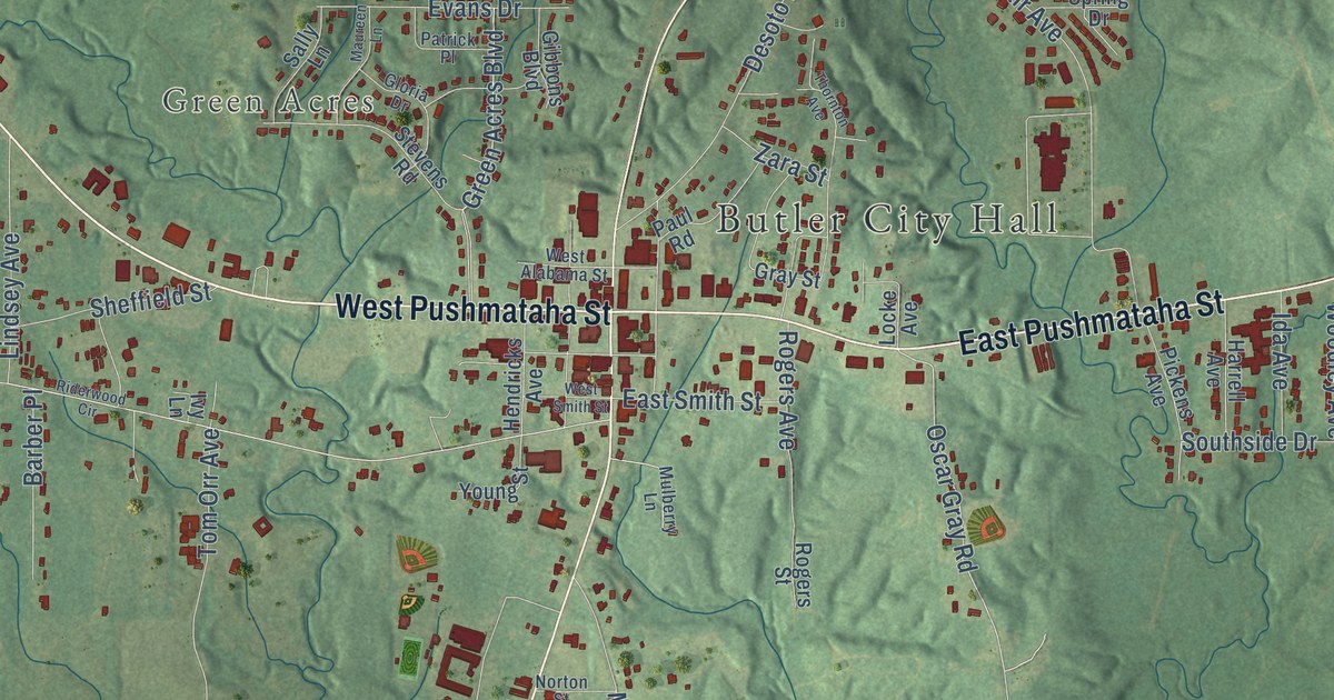
A detailed map of Butler, Alabama, showing every building in its true location, the roads by name, and shaded topographical relief.
Read More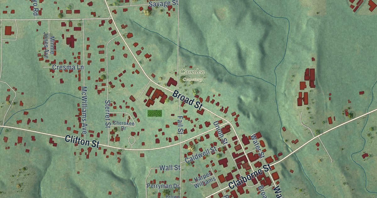
A detailed map of Camden, Alabama, showing every building in its true location, the roads by name, and shaded topographical relief.
Read More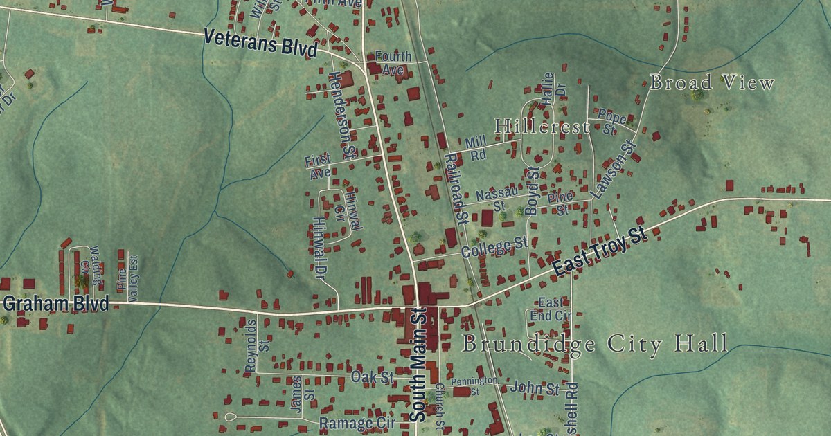
A detailed map of Brundidge, Alabama, showing every building in its true location, the roads by name, and shaded topographical relief.
Read More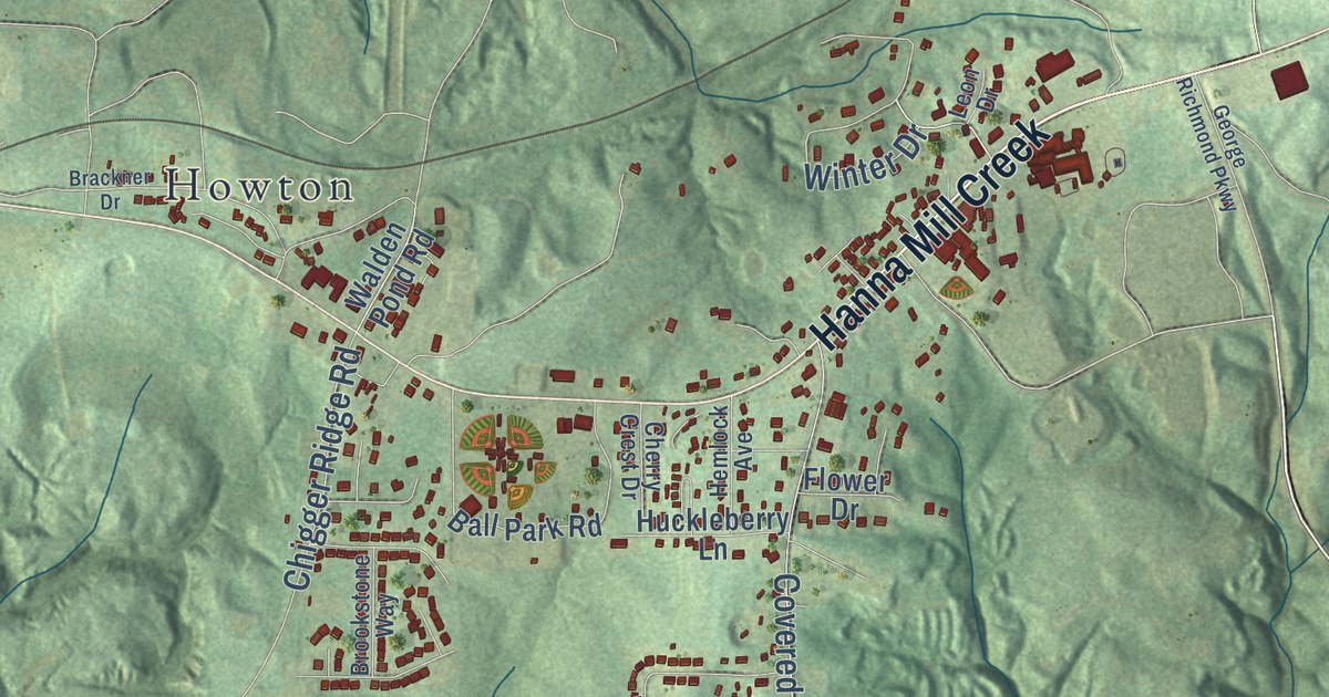
A detailed map of Brookwood, Alabama, showing every building in its true location, the roads by name, and shaded topographical relief.
Read More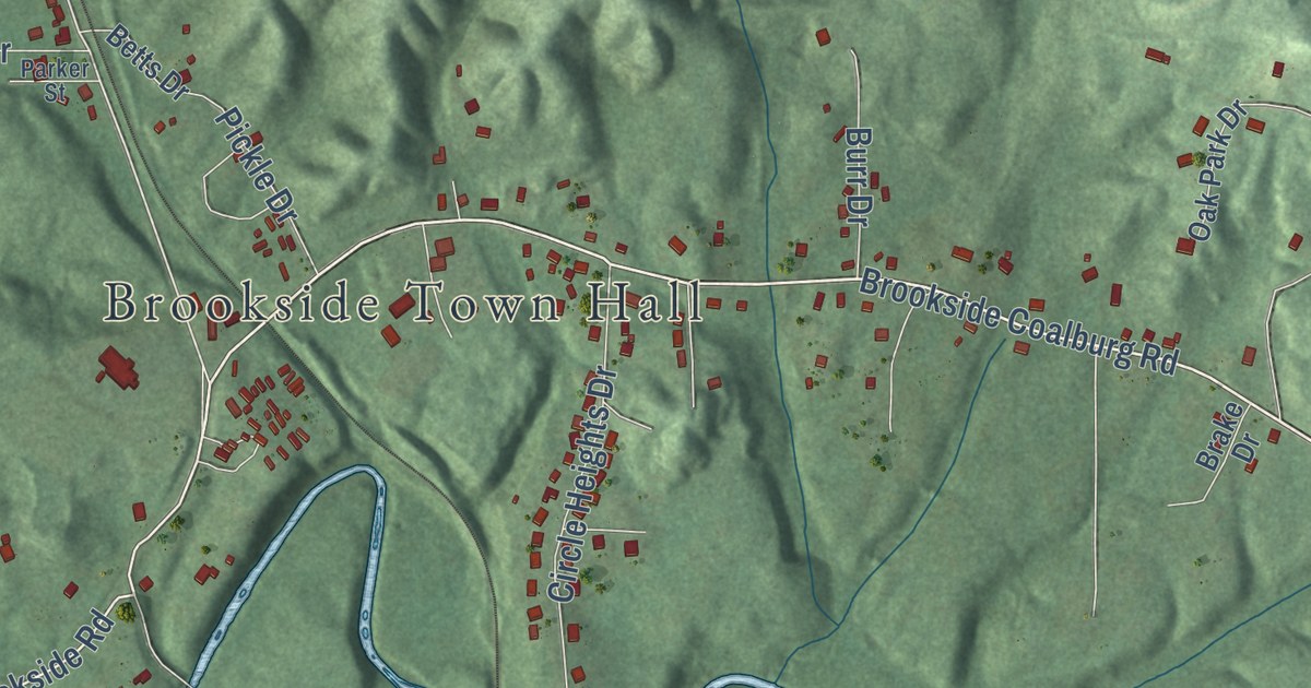
A detailed map of Brookside, Alabama, showing every building in its true location, the roads by name, and shaded topographical relief.
Read More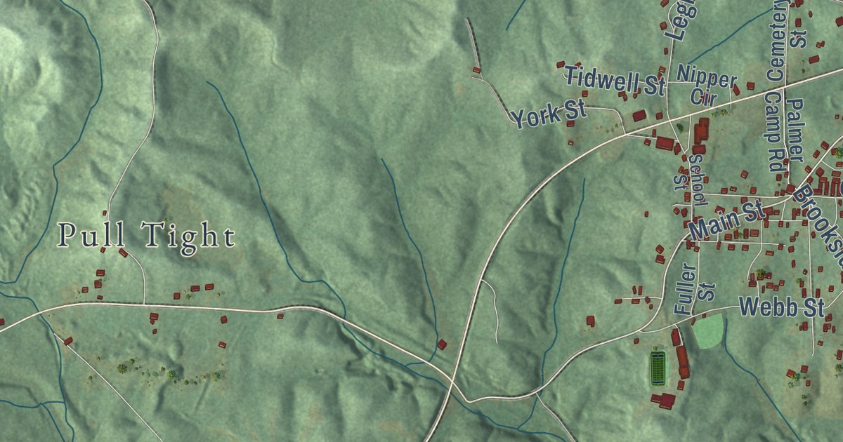
A detailed map of Brilliant, Alabama, showing every building in its true location, the roads by name, and shaded topographical relief.
Read More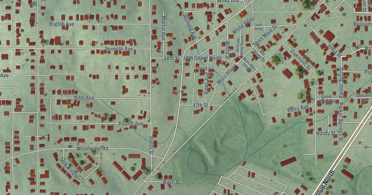
A detailed map of Brighton, Alabama, showing every building in its true location, the roads by name, and shaded topographical relief.
Read More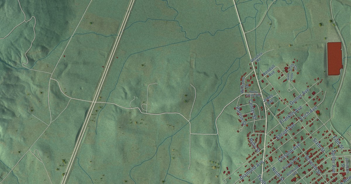
A detailed map of Bridgeport, Alabama, showing every building in its true location, the roads by name, and shaded topographical relief.
Read More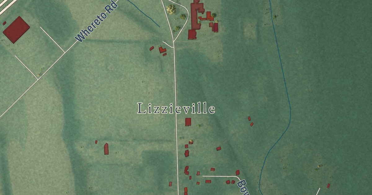
A detailed map of Boligee, Alabama, showing every building in its true location, the roads by name, and shaded topographical relief.
Read More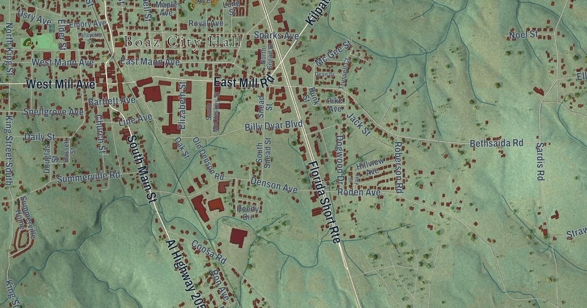
A detailed map of Boaz, Alabama, showing every building in its true location, the roads by name, and shaded topographical relief.
Read More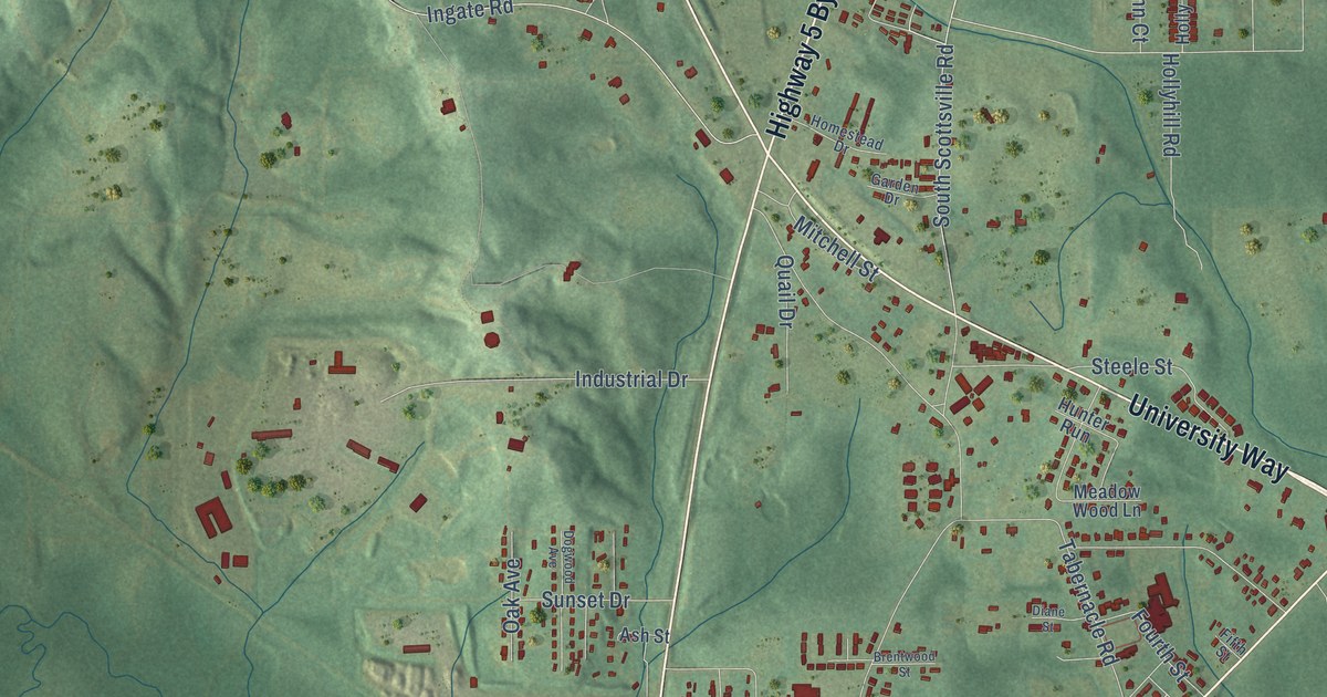
A detailed map of Brent, Alabama, showing every building in its true location, the roads by name, and shaded topographical relief.
Read More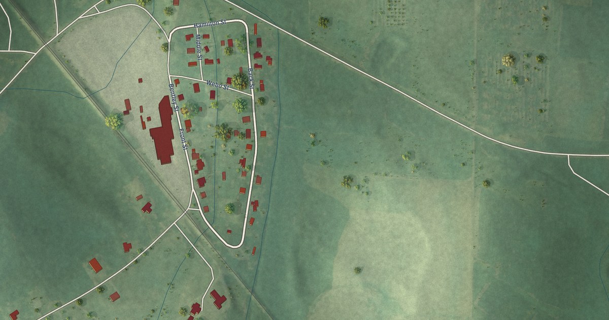
A detailed map of Bon Air, Alabama, showing every building in its true location, the roads by name, and shaded topographical relief.
Read More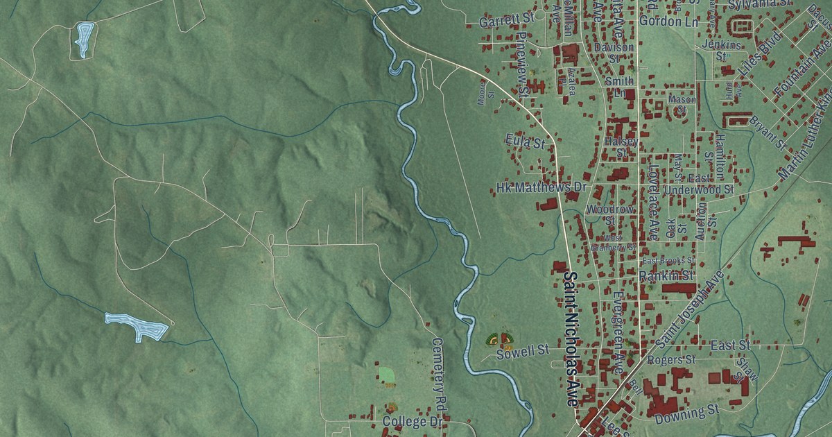
A detailed map of Brewton, Alabama, showing every building in its true location, the roads by name, and shaded topographical relief.
Read More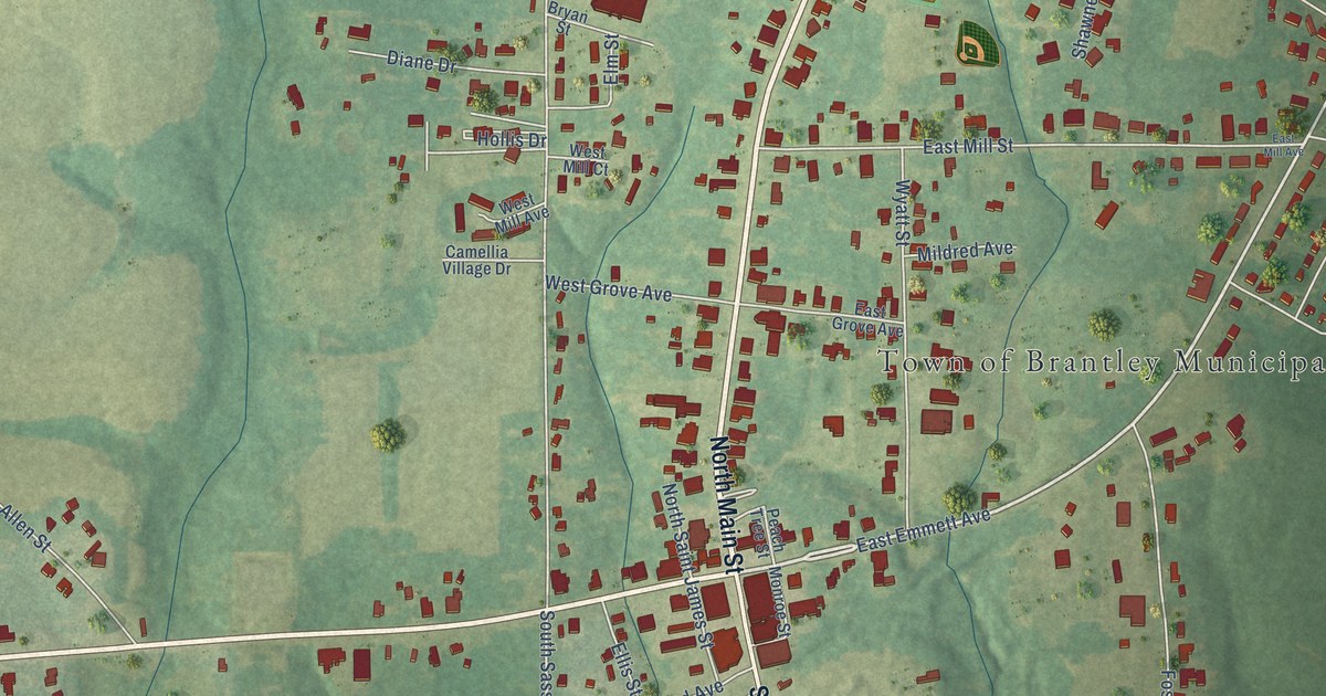
A detailed map of Brantley, Alabama, showing every building in its true location, the roads by name, and shaded topographical relief.
Read More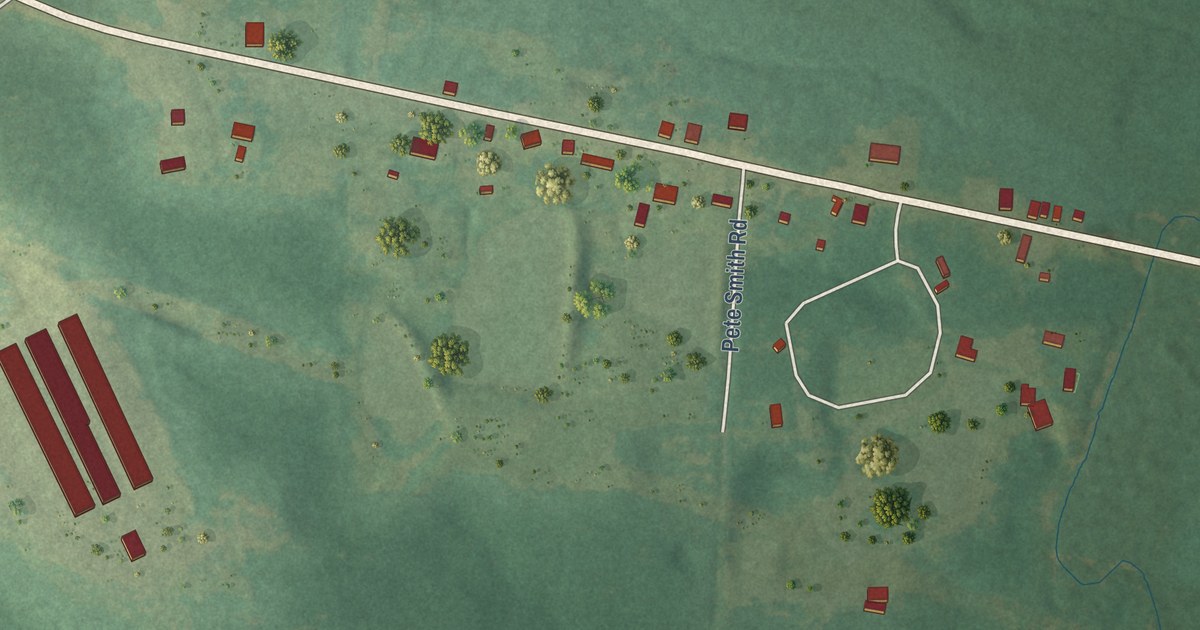
A detailed map of Blue Springs, Alabama, showing every building in its true location, the roads by name, and shaded topographical relief.
Read More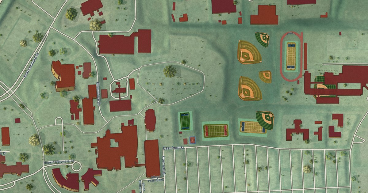
A detailed map of Hopkins Bayview, Maryland, showing every building in its true location, the roads by name, and shaded topographical relief.
Read More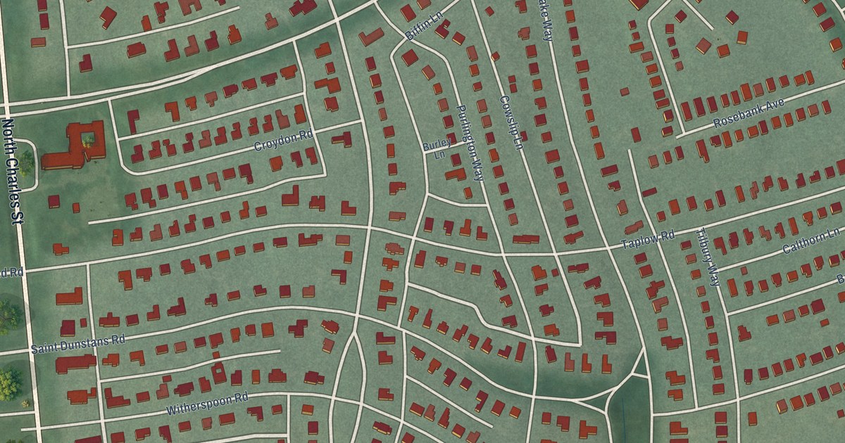
A detailed map of Homeland, Maryland, showing every building in its true location, the roads by name, and shaded topographical relief.
Read More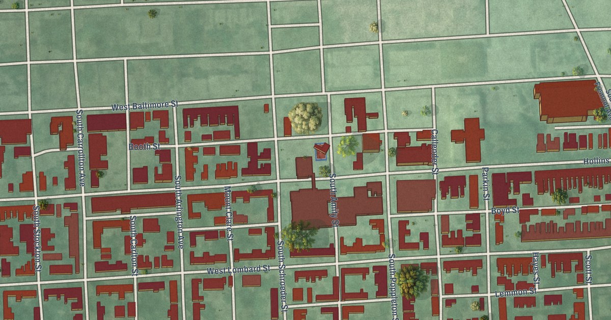
A detailed map of Hollins Market, Maryland, showing every building in its true location, the roads by name, and shaded topographical relief.
Read More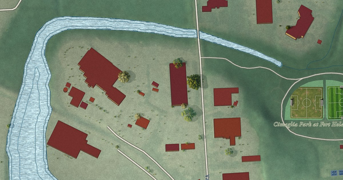
A detailed map of Holabird Industrial Park, Maryland, showing every building in its true location, the roads by name, and shaded topographical relief.
Read More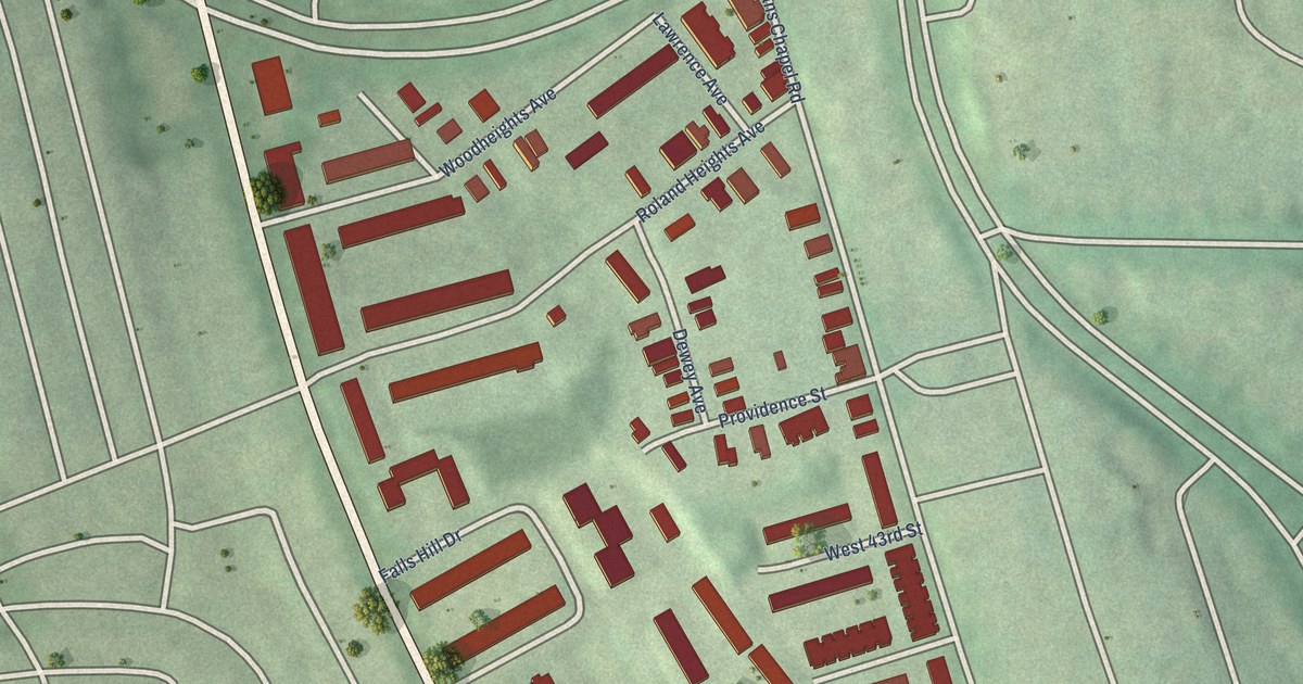
A detailed map of Hoes Heights, Maryland, showing every building in its true location, the roads by name, and shaded topographical relief.
Read More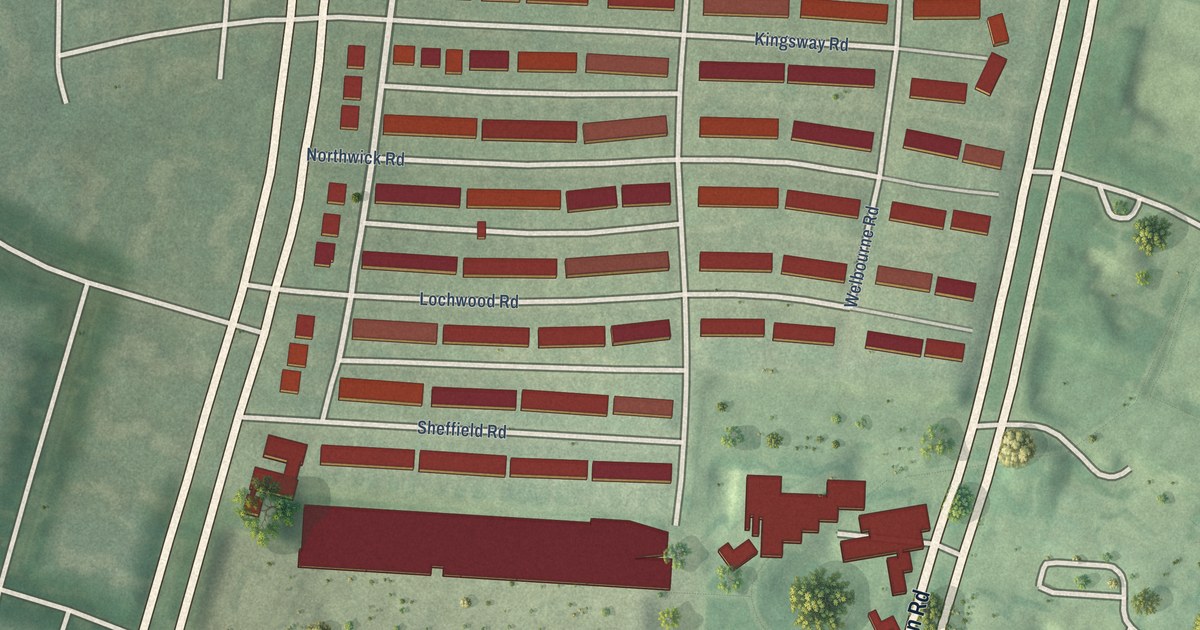
A detailed map of Hillen, Maryland, showing every building in its true location, the roads by name, and shaded topographical relief.
Read More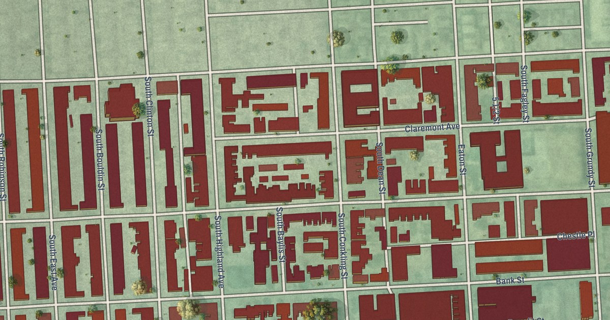
A detailed map of Highlandtown, Maryland, showing every building in its true location, the roads by name, and shaded topographical relief.
Read More
A detailed map of Herring Run Park, Maryland, showing every building in its true location, the roads by name, and shaded topographical relief.
Read More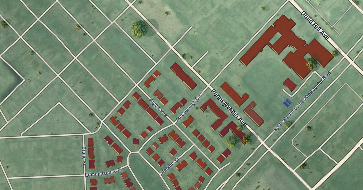
A detailed map of Heritage Crossing, Maryland, showing every building in its true location, the roads by name, and shaded topographical relief.
Read More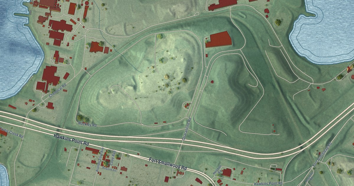
A detailed map of Hawkins Point, Maryland, showing every building in its true location, the roads by name, and shaded topographical relief.
Read More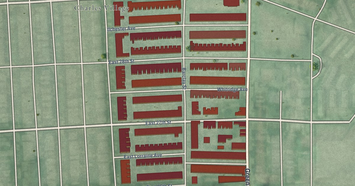
A detailed map of Harwood, Maryland, showing every building in its true location, the roads by name, and shaded topographical relief.
Read More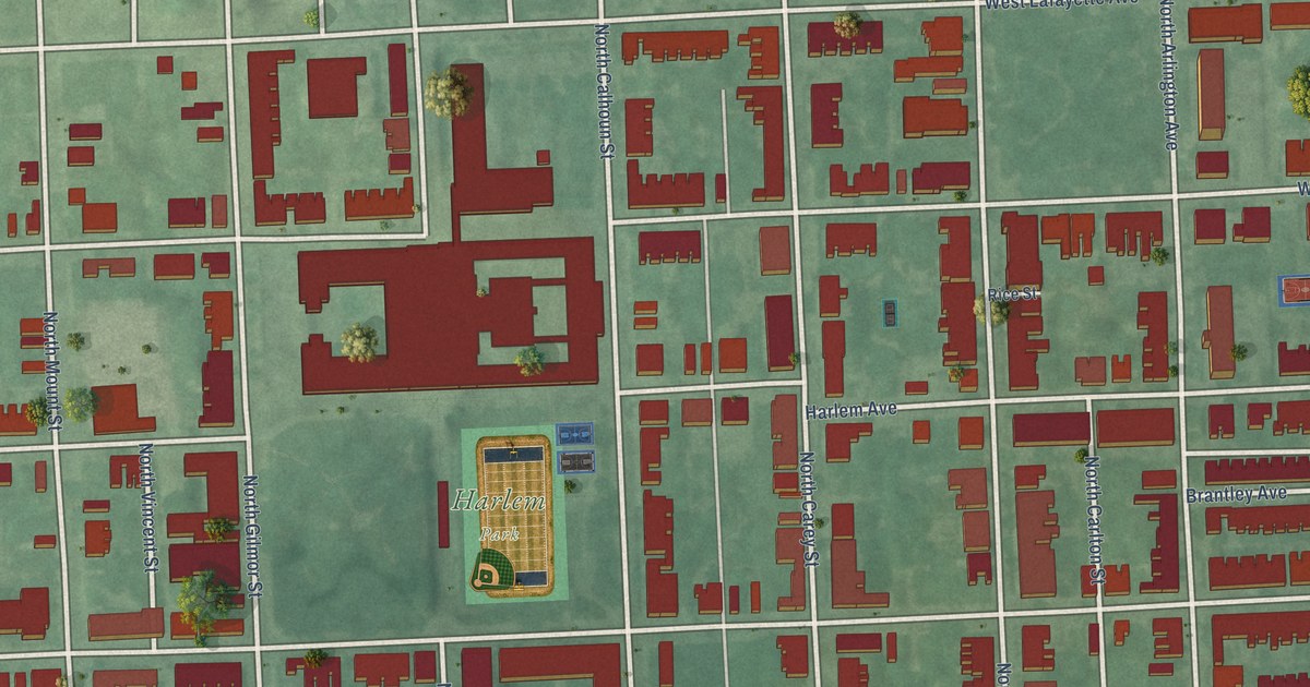
A detailed map of Harlem Park, Maryland, showing every building in its true location, the roads by name, and shaded topographical relief.
Read More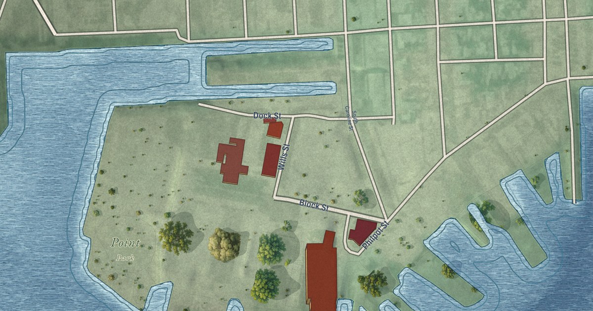
A detailed map of Harbor Point, Maryland, showing every building in its true location, the roads by name, and shaded topographical relief.
Read More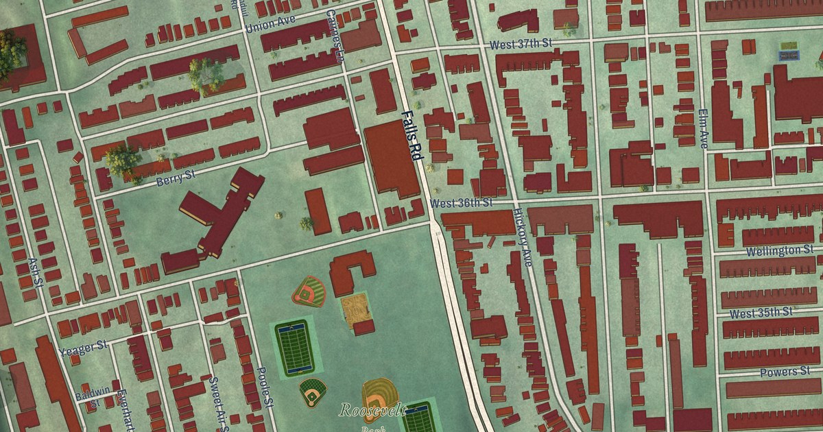
A detailed map of Hampden, Maryland, showing every building in its true location, the roads by name, and shaded topographical relief.
Read More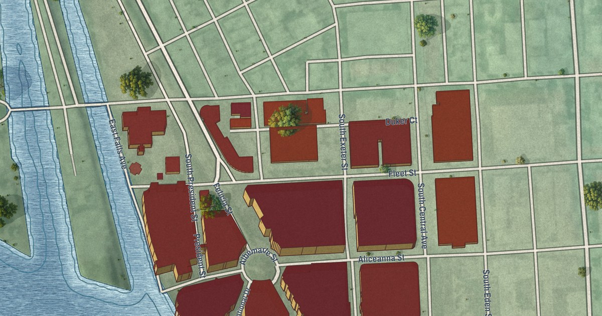
A detailed map of Harbor East, Maryland, showing every building in its true location, the roads by name, and shaded topographical relief.
Read More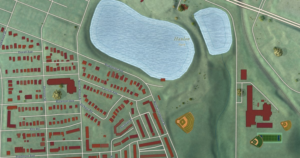
A detailed map of Hanlon-Longwood, Maryland, showing every building in its true location, the roads by name, and shaded topographical relief.
Read More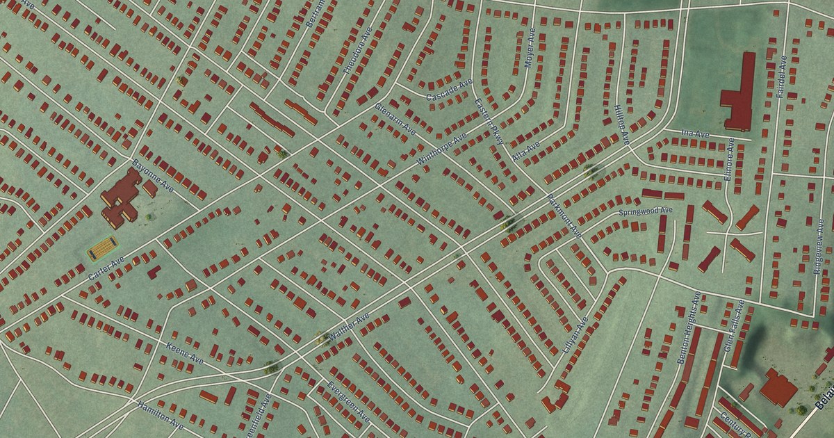
A detailed map of Hamilton, Maryland, showing every building in its true location, the roads by name, and shaded topographical relief.
Read More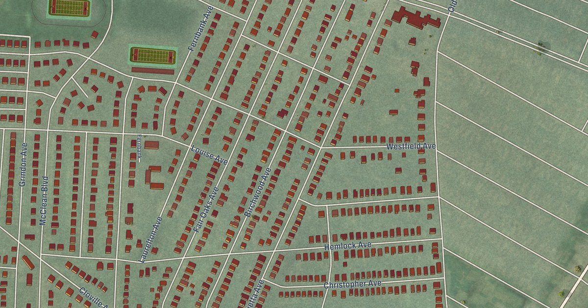
A detailed map of Hamilton Hills, Maryland, showing every building in its true location, the roads by name, and shaded topographical relief.
Read More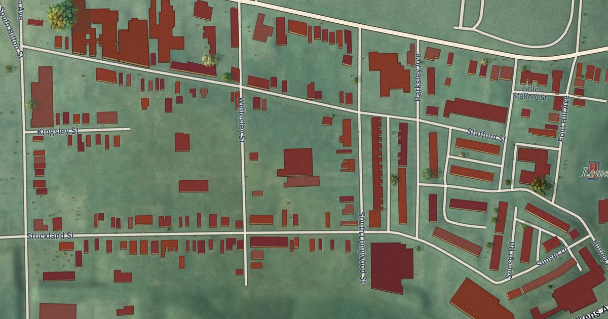
A detailed map of Gwynns Falls, Maryland, showing every building in its true location, the roads by name, and shaded topographical relief.
Read More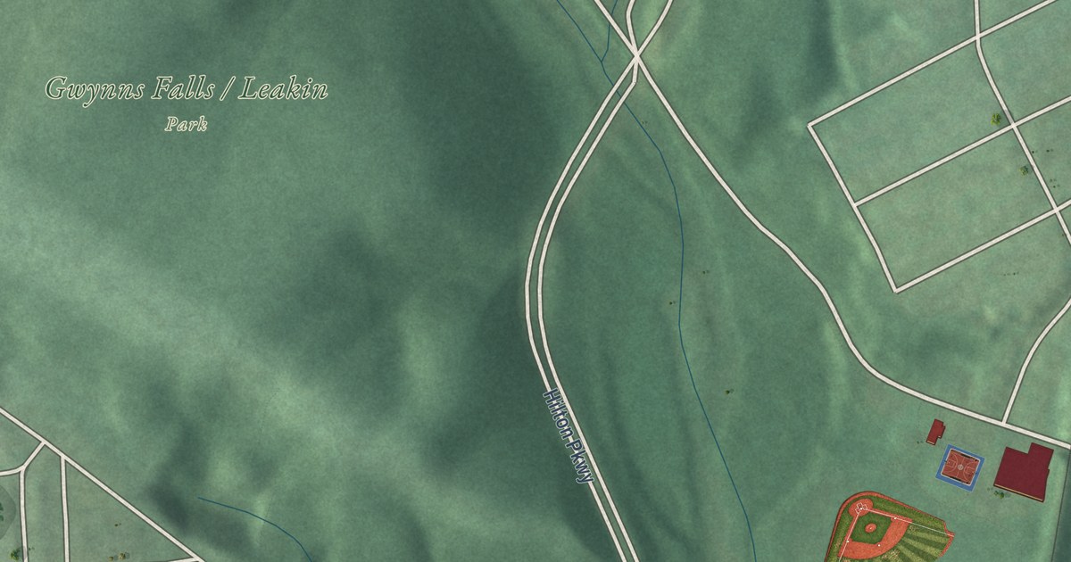
A detailed map of Gwynns Falls/Leakin Park, Maryland, showing every building in its true location, the roads by name, and shaded topographical relief.
Read More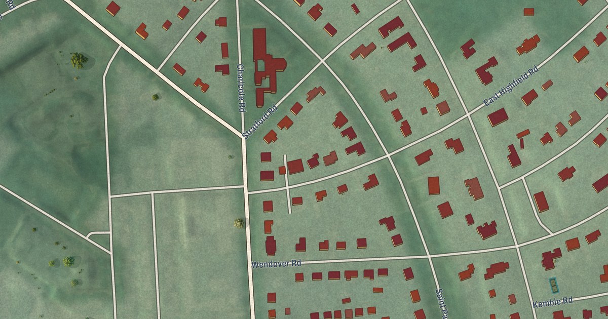
A detailed map of Guilford, Maryland, showing every building in its true location, the roads by name, and shaded topographical relief.
Read More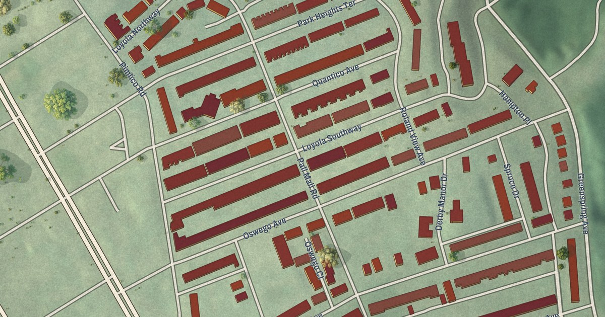
A detailed map of Greenspring, Maryland, showing every building in its true location, the roads by name, and shaded topographical relief.
Read More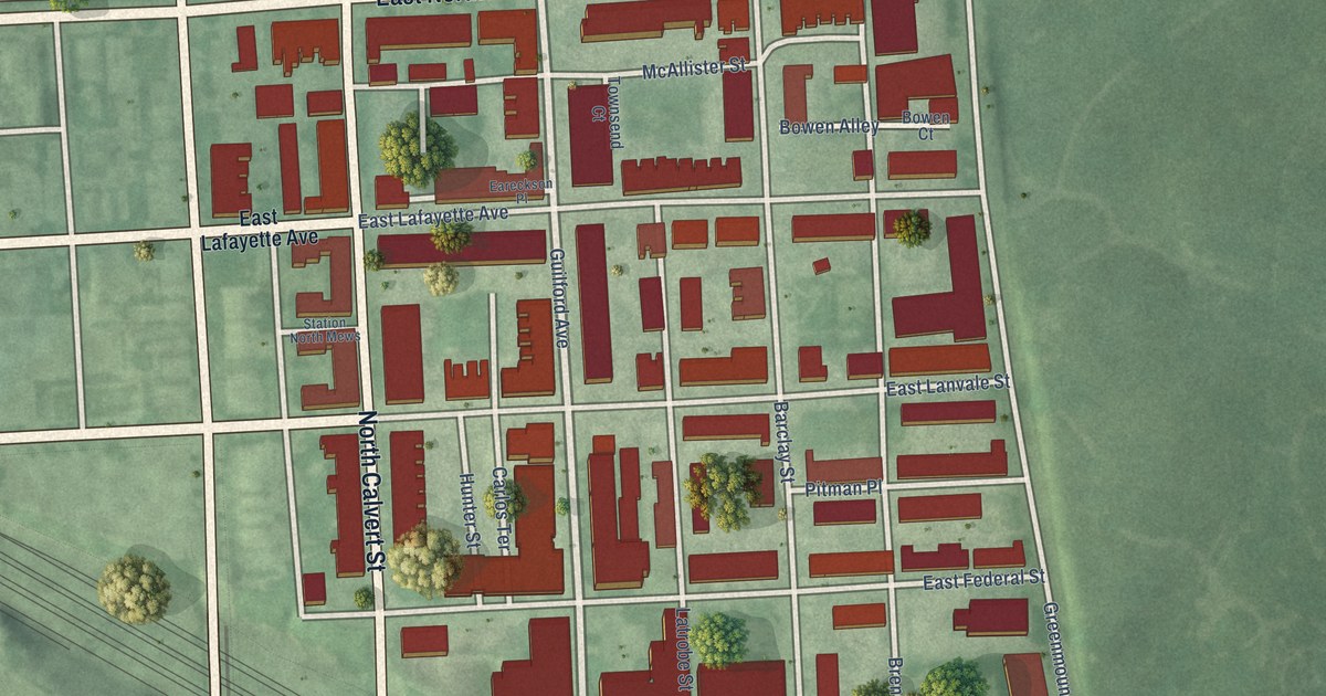
A detailed map of Greenmount West, Maryland, showing every building in its true location, the roads by name, and shaded topographical relief.
Read More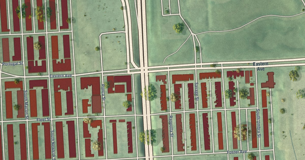
A detailed map of Greektown, Maryland, showing every building in its true location, the roads by name, and shaded topographical relief.
Read More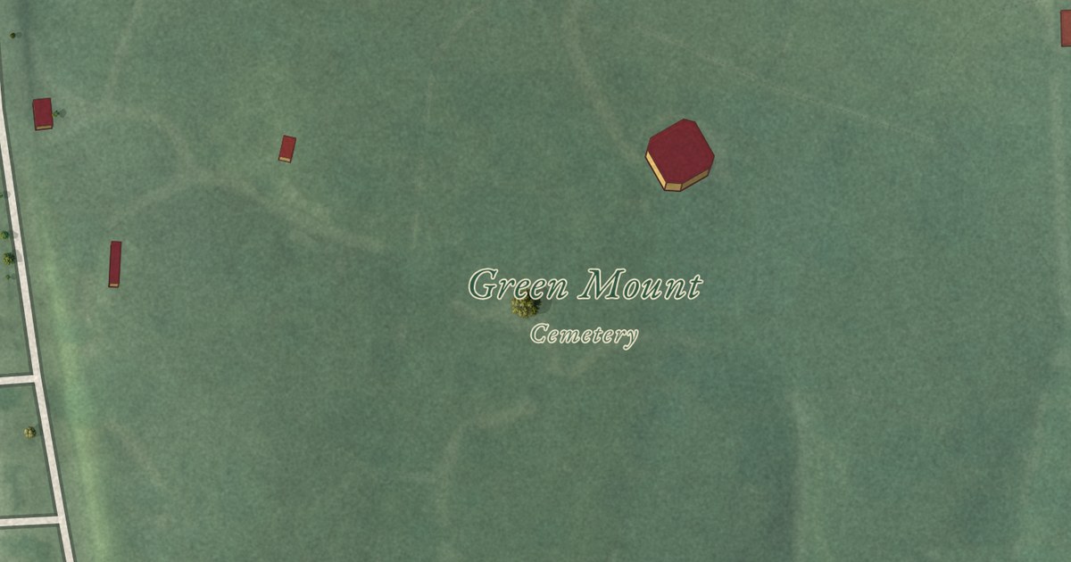
A detailed map of Greenmount Cemetery, Maryland, showing every building in its true location, the roads by name, and shaded topographical relief.
Read More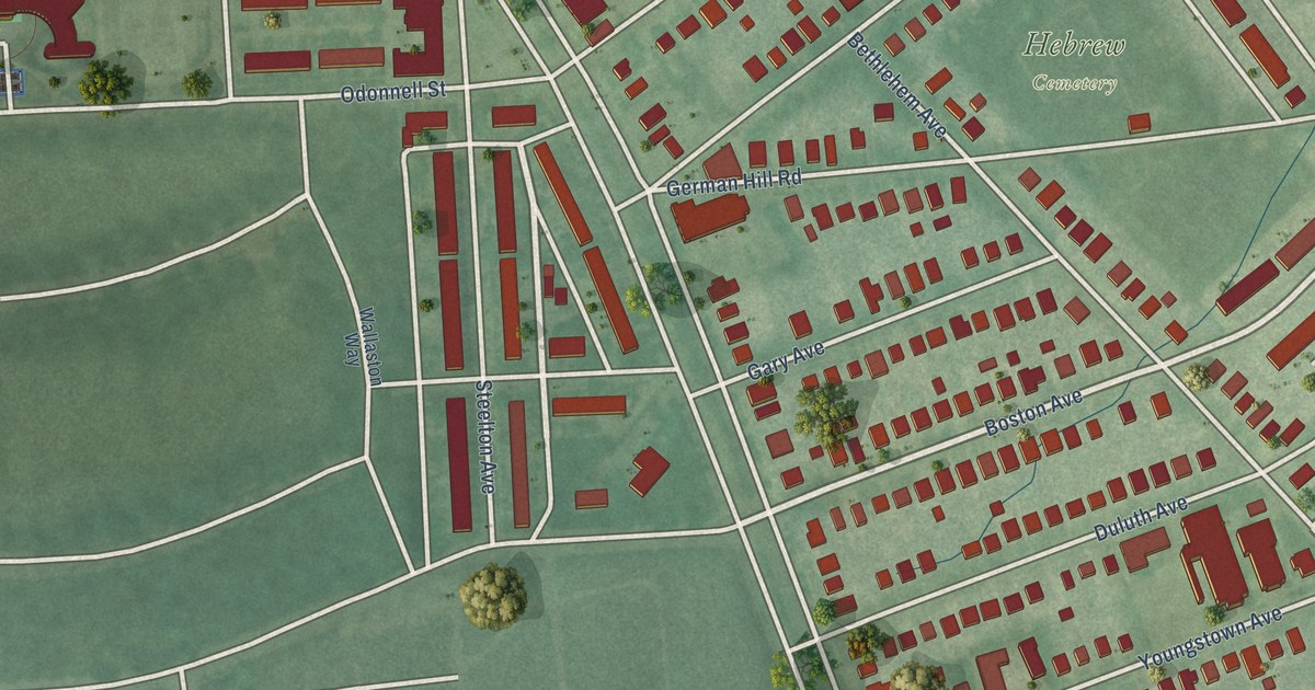
A detailed map of Graceland Park, Maryland, showing every building in its true location, the roads by name, and shaded topographical relief.
Read More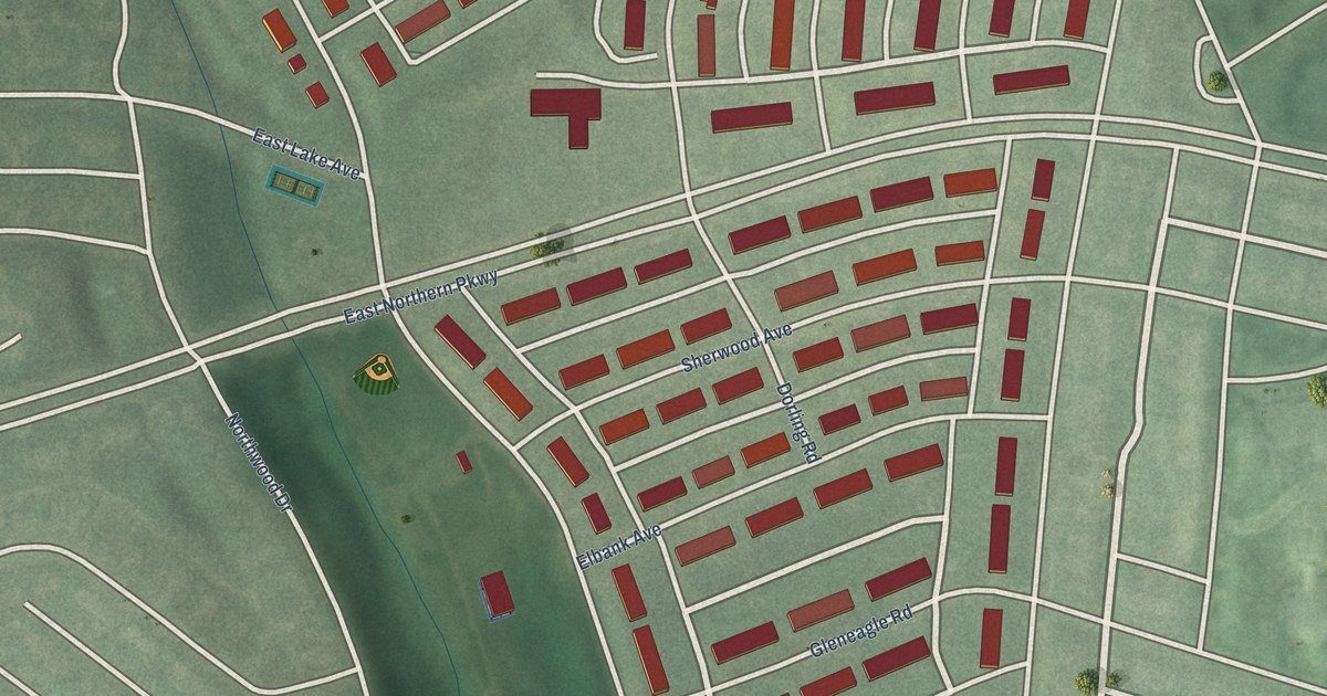
A detailed map of Glen Oaks, Maryland, showing every building in its true location, the roads by name, and shaded topographical relief.
Read More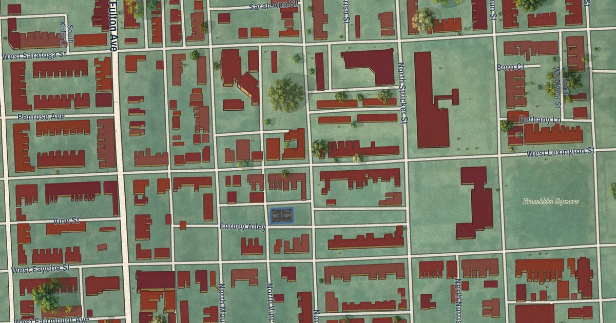
A detailed map of Franklin Square, Maryland, showing every building in its true location, the roads by name, and shaded topographical relief.
Read More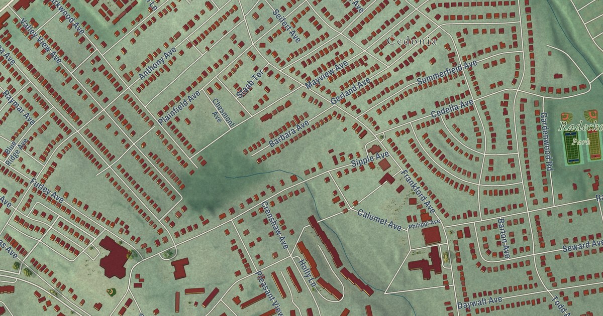
A detailed map of Frankford, Maryland, showing every building in its true location, the roads by name, and shaded topographical relief.
Read More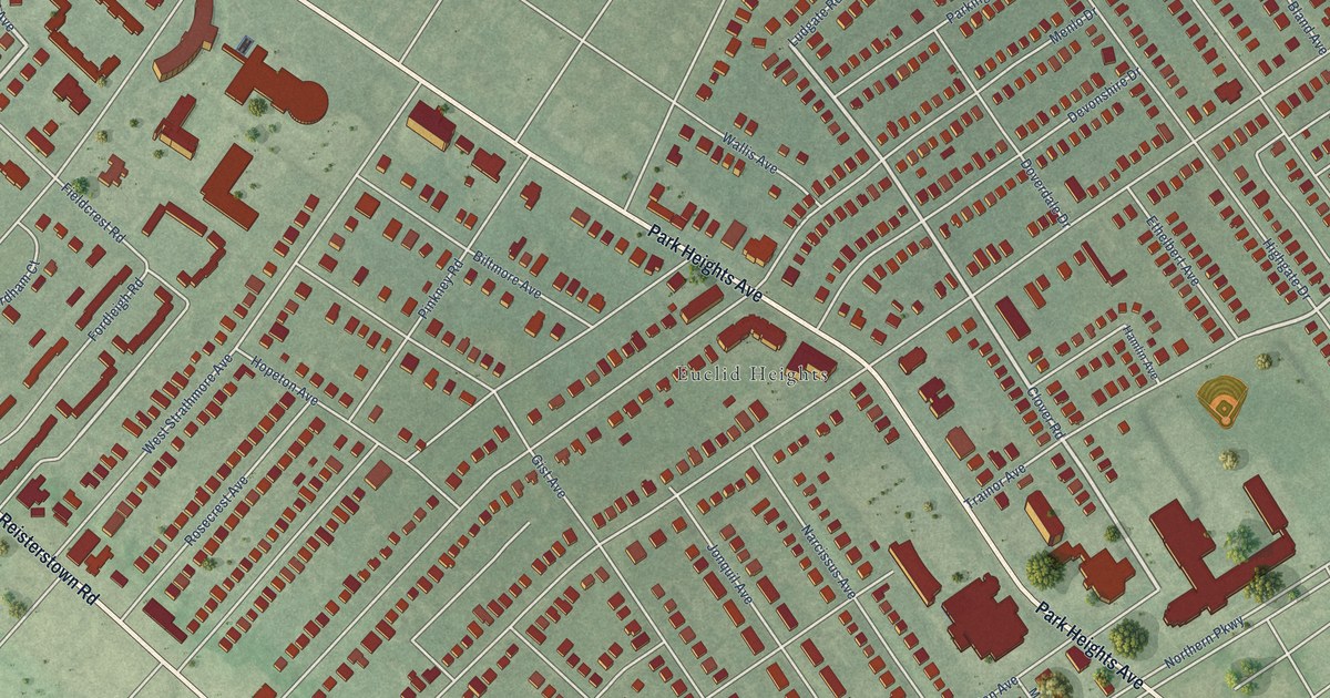
A detailed map of Glen, Maryland, showing every building in its true location, the roads by name, and shaded topographical relief.
Read More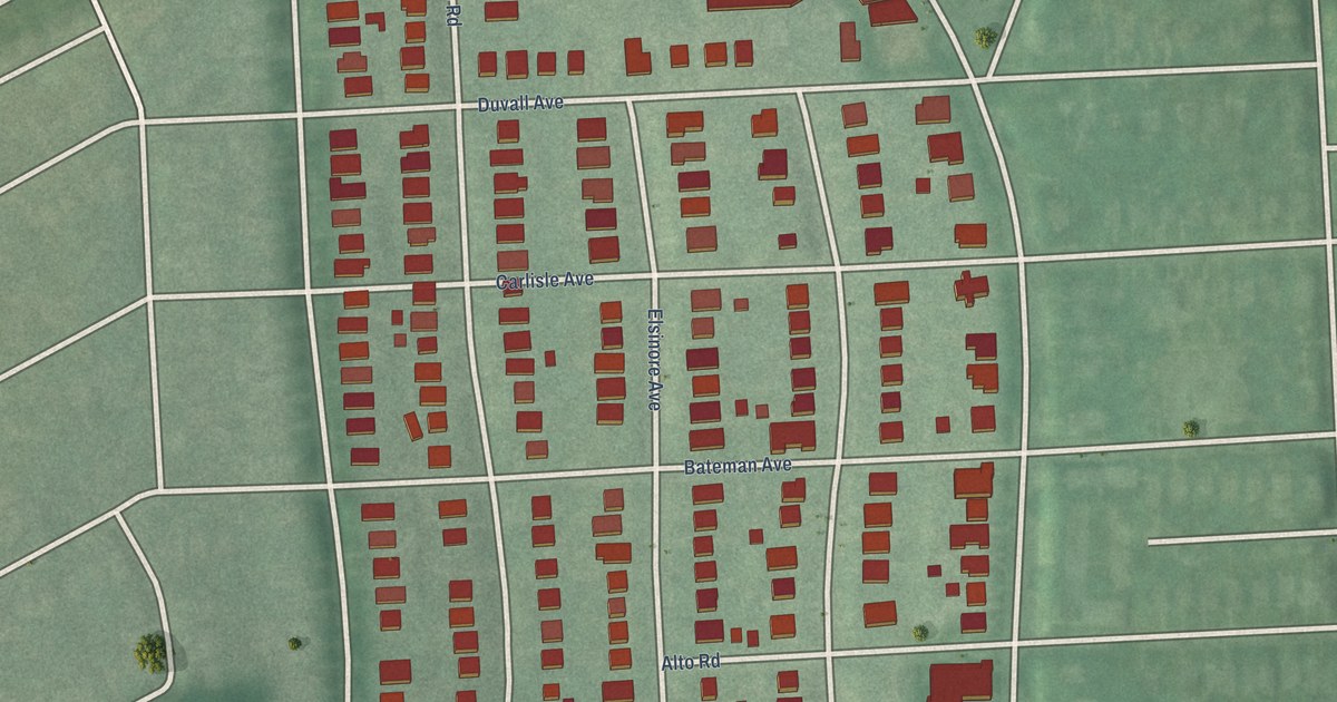
A detailed map of Garwyn Oaks, Maryland, showing every building in its true location, the roads by name, and shaded topographical relief.
Read More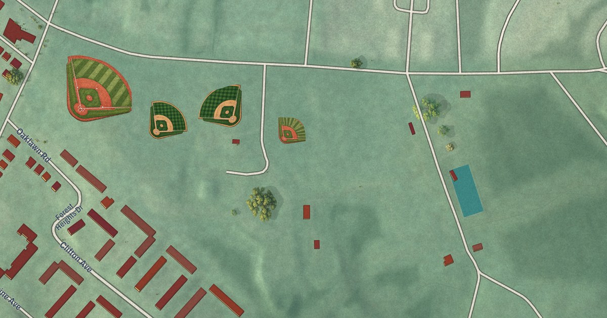
A detailed map of Franklintown, Maryland, showing every building in its true location, the roads by name, and shaded topographical relief.
Read More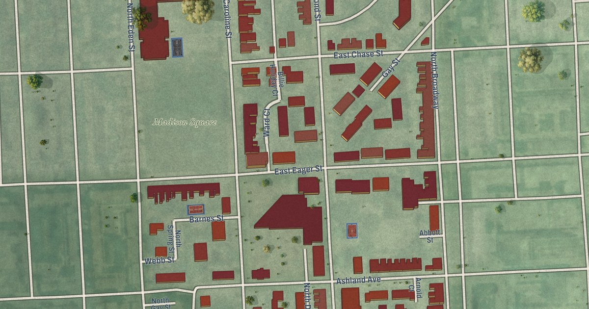
A detailed map of Gay Street, Maryland, showing every building in its true location, the roads by name, and shaded topographical relief.
Read More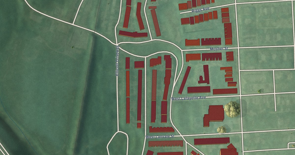
A detailed map of Franklintown Road, Maryland, showing every building in its true location, the roads by name, and shaded topographical relief.
Read More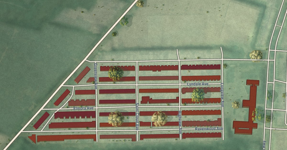
A detailed map of Four By Four, Maryland, showing every building in its true location, the roads by name, and shaded topographical relief.
Read More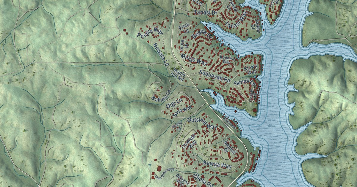
A detailed map of Tellico Village, Tennessee, showing every building in its true location, the roads by name, and shaded topographical relief.
Read More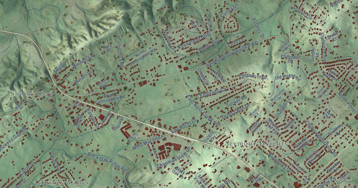
A detailed map of Seymour, Tennessee, showing every building in its true location, the roads by name, and shaded topographical relief.
Read More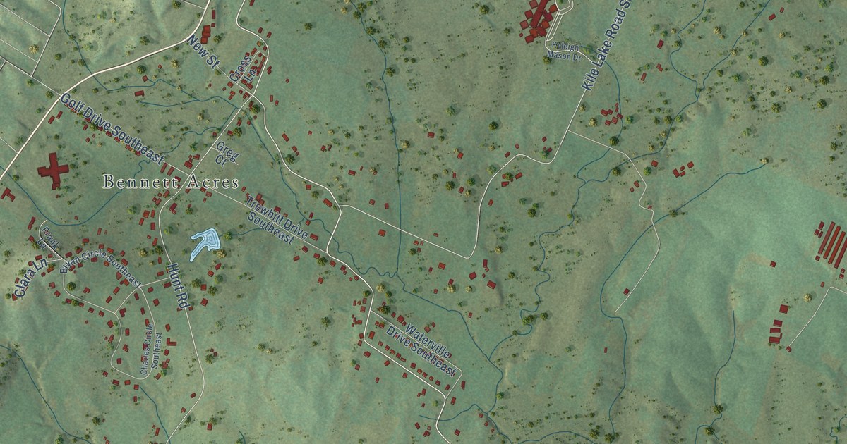
A detailed map of Wildwood Lake, Tennessee, showing every building in its true location, the roads by name, and shaded topographical relief.
Read More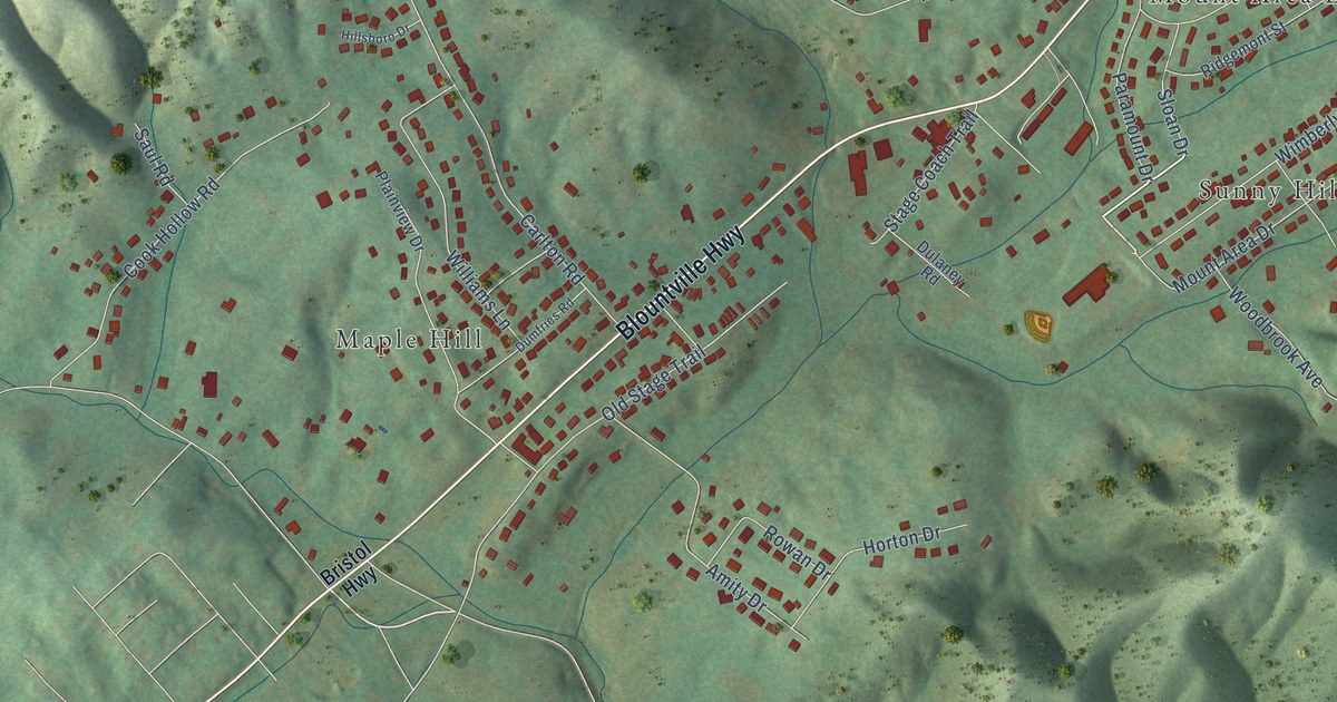
A detailed map of Walnut Hill, Tennessee, showing every building in its true location, the roads by name, and shaded topographical relief.
Read More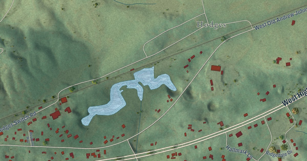
A detailed map of Strawberry Plains, Tennessee, showing every building in its true location, the roads by name, and shaded topographical relief.
Read More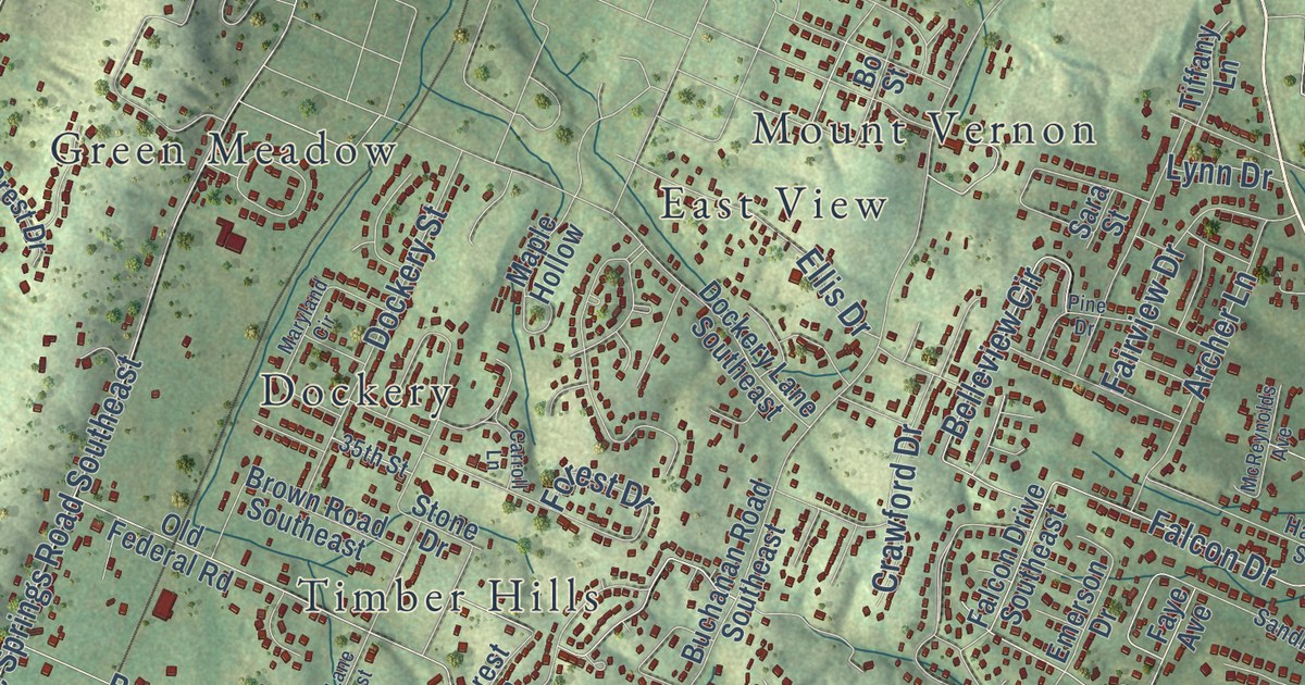
A detailed map of South Cleveland, Tennessee, showing every building in its true location, the roads by name, and shaded topographical relief.
Read More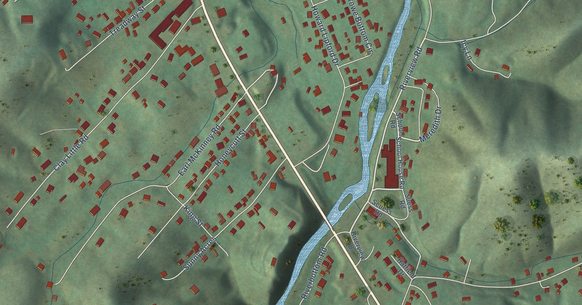
A detailed map of Valley Forge, Tennessee, showing every building in its true location, the roads by name, and shaded topographical relief.
Read More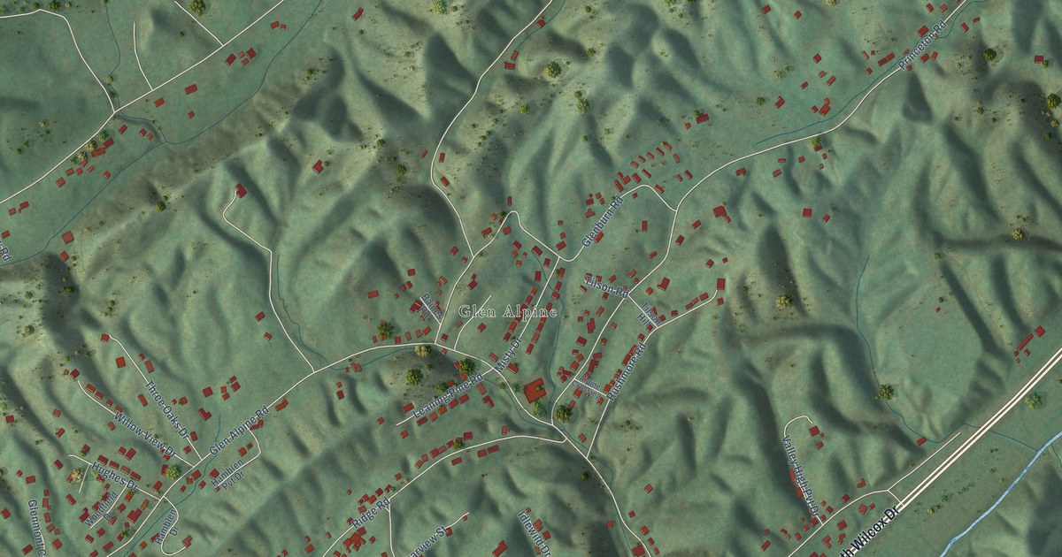
A detailed map of Sullivan Gardens, Tennessee, showing every building in its true location, the roads by name, and shaded topographical relief.
Read More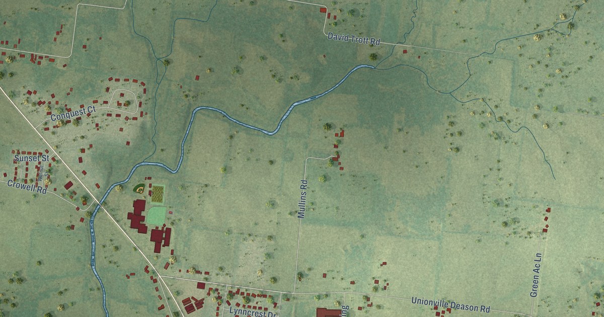
A detailed map of Unionville, Tennessee, showing every building in its true location, the roads by name, and shaded topographical relief.
Read More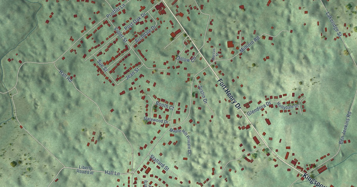
A detailed map of Spurgeon, Tennessee, showing every building in its true location, the roads by name, and shaded topographical relief.
Read More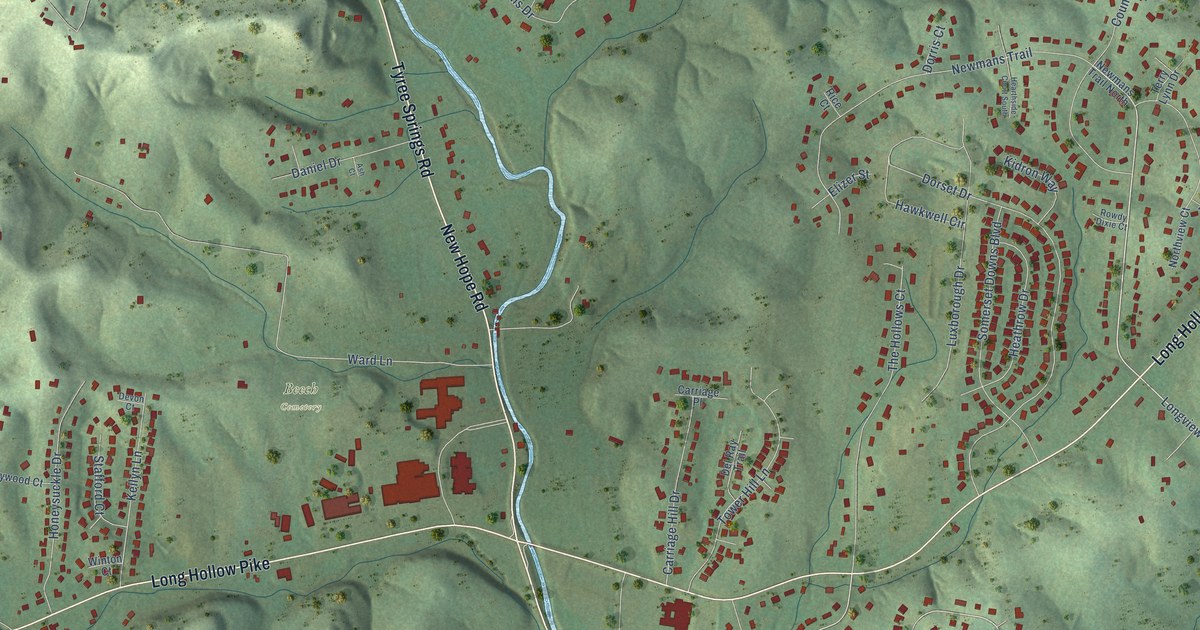
A detailed map of Shackle Island, Tennessee, showing every building in its true location, the roads by name, and shaded topographical relief.
Read More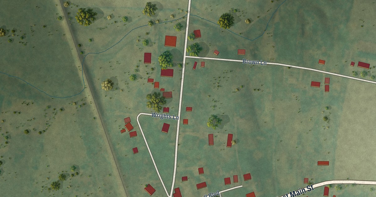
A detailed map of Mitchellville, Tennessee, showing every building in its true location, the roads by name, and shaded topographical relief.
Read More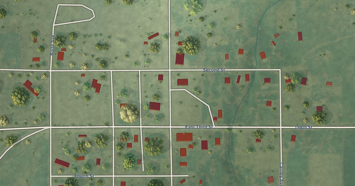
A detailed map of Ree Heights, South Dakota, showing every building in its true location, the roads by name, and shaded topographical relief.
Read More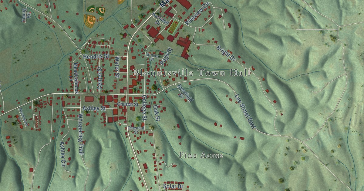
A detailed map of Blountsville, Alabama, showing every building in its true location, the roads by name, and shaded topographical relief.
Read More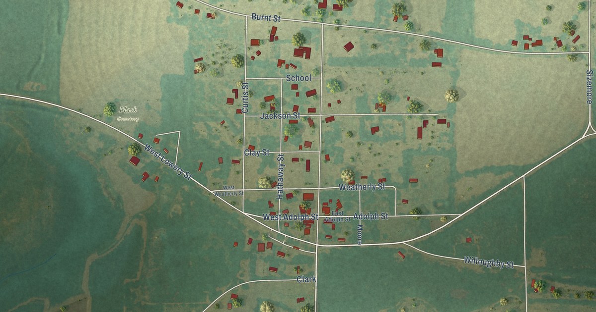
A detailed map of Black, Alabama, showing every building in its true location, the roads by name, and shaded topographical relief.
Read More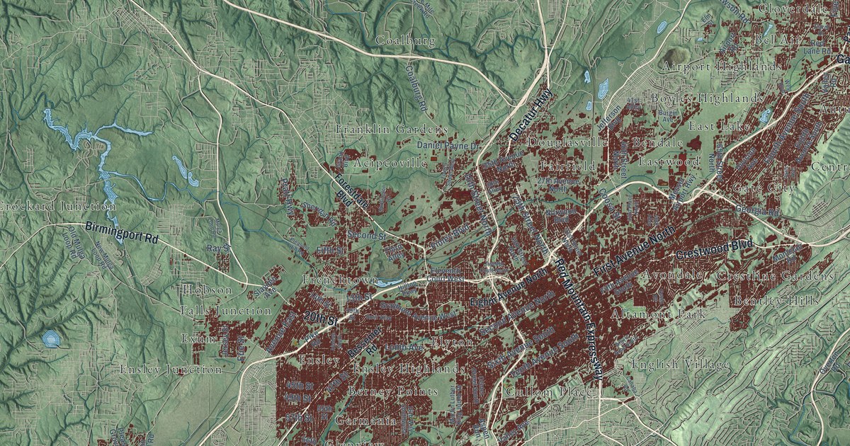
A detailed map of Birmingham, Alabama, showing every building in its true location, the roads by name, and shaded topographical relief.
Read More















