Detailed Map of Oaklee, Baltimore, Maryland
A detailed map of Oaklee, Maryland, showing every building in its true location, the roads by name, and shaded topographical relief.
Read More
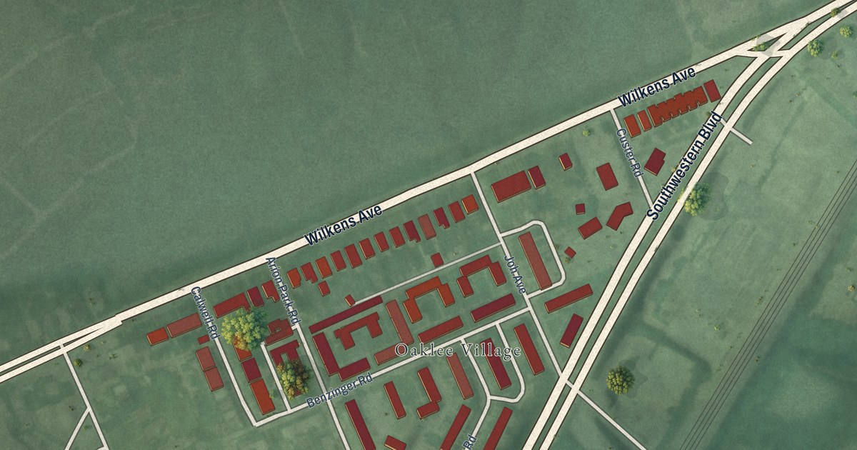
A detailed map of Oaklee, Maryland, showing every building in its true location, the roads by name, and shaded topographical relief.
Read More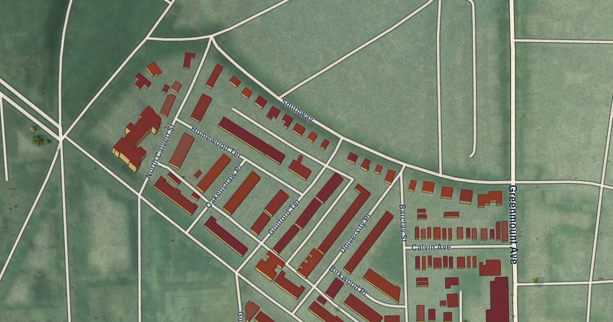
A detailed map of Oakenshawe, Maryland, showing every building in its true location, the roads by name, and shaded topographical relief.
Read More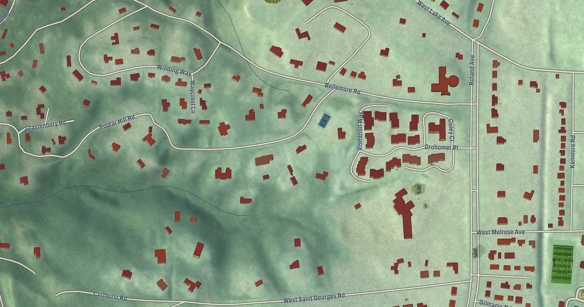
A detailed map of North Roland Park/Poplar Hill, Maryland, showing every building in its true location, the roads by name, and shaded topographical relief.
Read More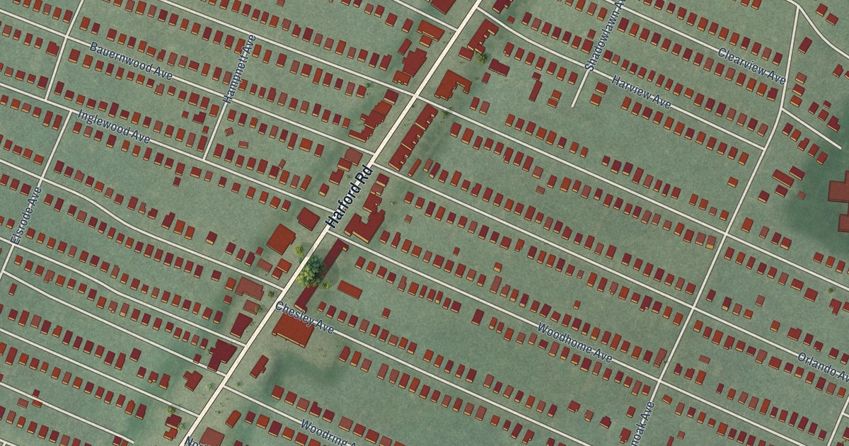
A detailed map of North Harford Road, Maryland, showing every building in its true location, the roads by name, and shaded topographical relief.
Read More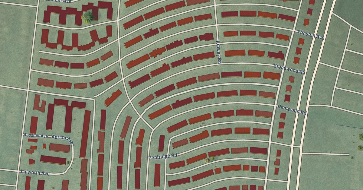
A detailed map of New Northwood, Maryland, showing every building in its true location, the roads by name, and shaded topographical relief.
Read More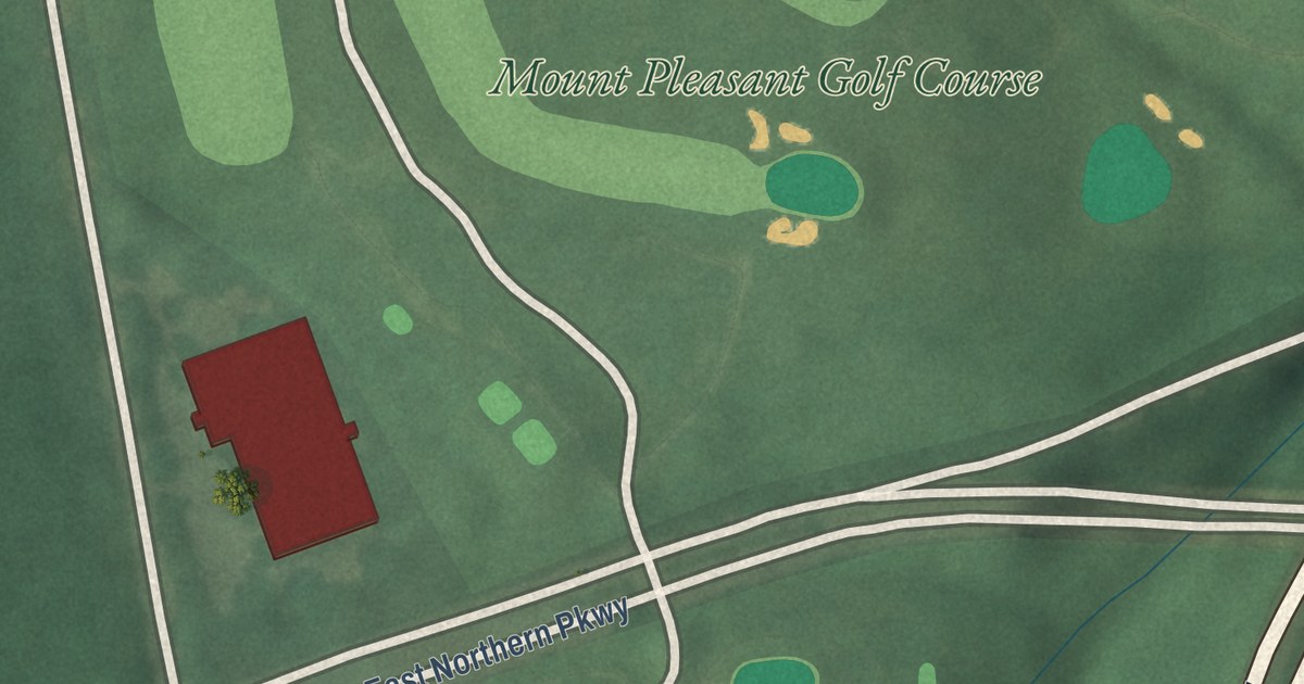
A detailed map of Mt Pleasant Park, Maryland, showing every building in its true location, the roads by name, and shaded topographical relief.
Read More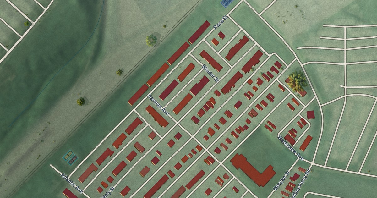
A detailed map of Mount Winans, Maryland, showing every building in its true location, the roads by name, and shaded topographical relief.
Read More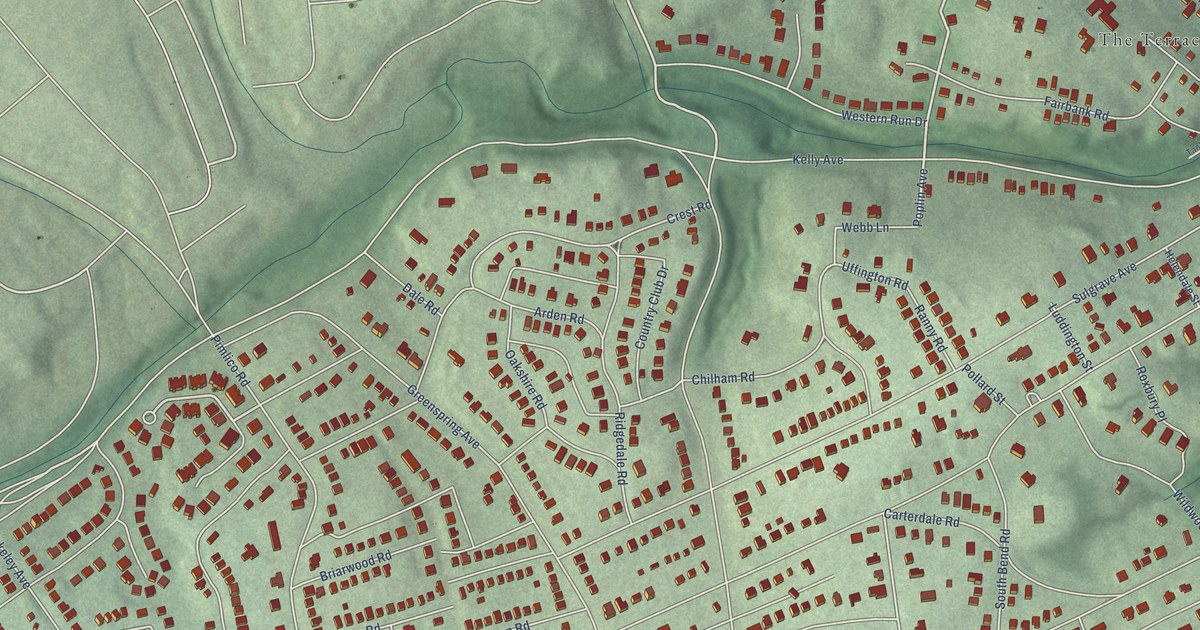
A detailed map of Mount Washington, Maryland, showing every building in its true location, the roads by name, and shaded topographical relief.
Read More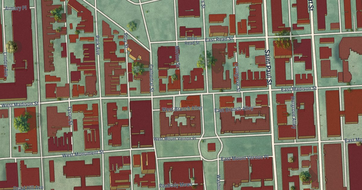
A detailed map of Mount Vernon, Maryland, showing every building in its true location, the roads by name, and shaded topographical relief.
Read More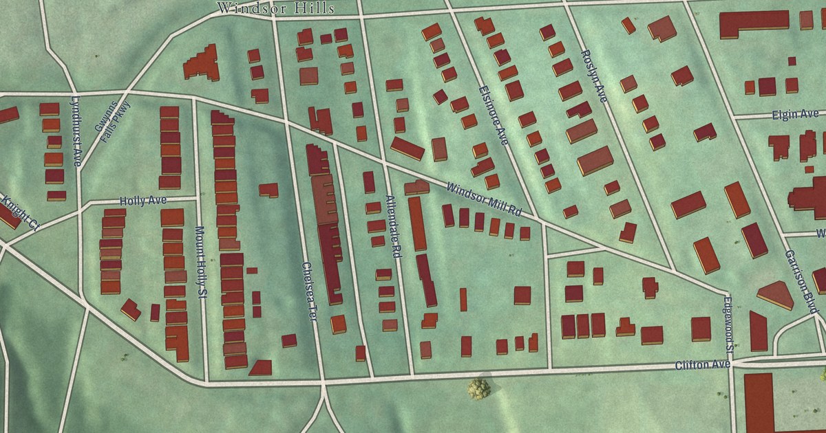
A detailed map of Mount Holly, Maryland, showing every building in its true location, the roads by name, and shaded topographical relief.
Read More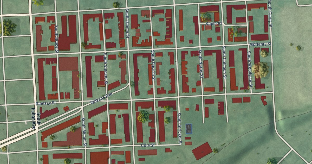
A detailed map of Mount Clare, Maryland, showing every building in its true location, the roads by name, and shaded topographical relief.
Read More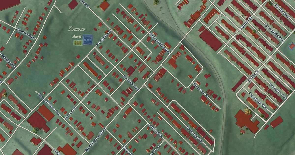
A detailed map of Morrell Park, Maryland, showing every building in its true location, the roads by name, and shaded topographical relief.
Read More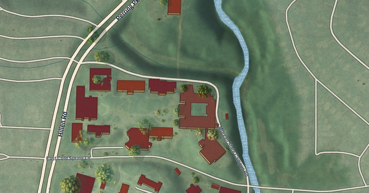
A detailed map of Morgan State University, Maryland, showing every building in its true location, the roads by name, and shaded topographical relief.
Read More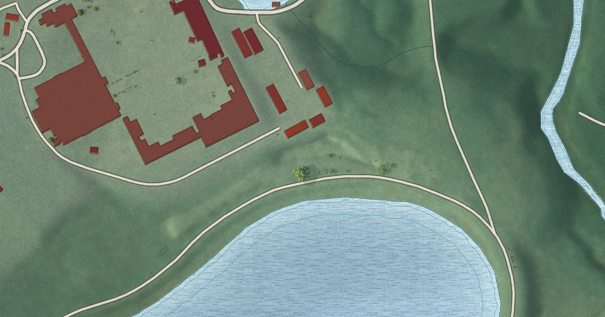
A detailed map of Montebello, Maryland, showing every building in its true location, the roads by name, and shaded topographical relief.
Read More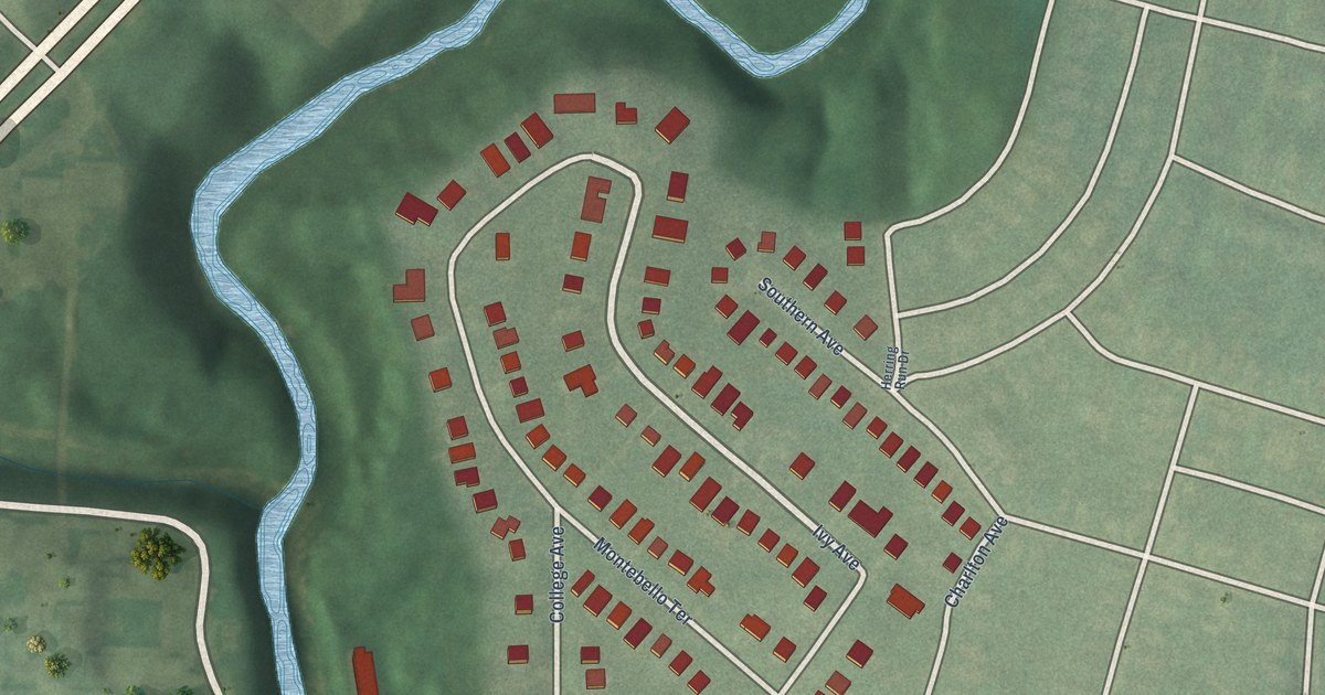
A detailed map of Morgan Park, Maryland, showing every building in its true location, the roads by name, and shaded topographical relief.
Read More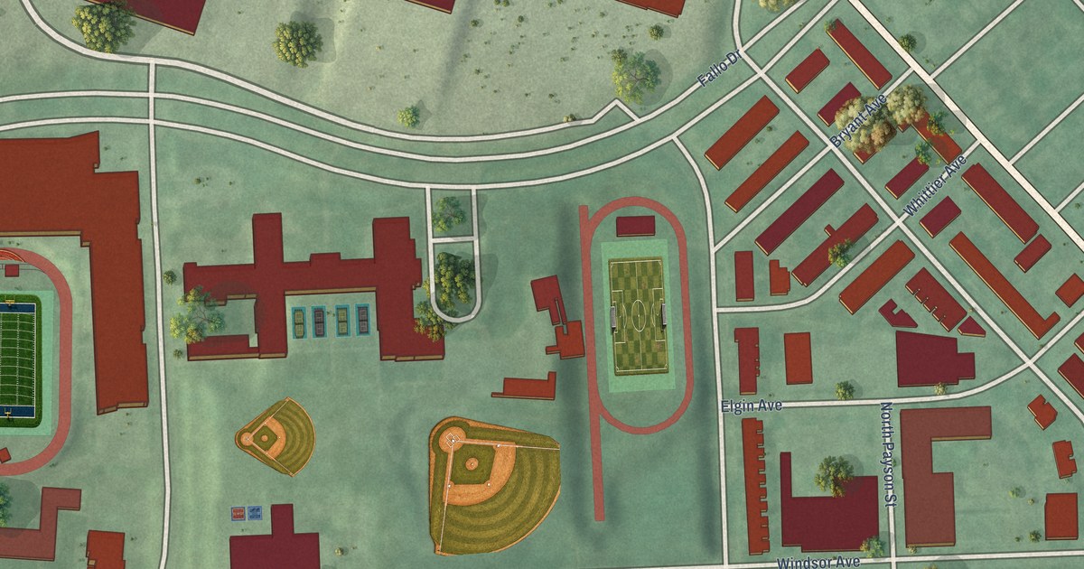
A detailed map of Mondawmin, Maryland, showing every building in its true location, the roads by name, and shaded topographical relief.
Read More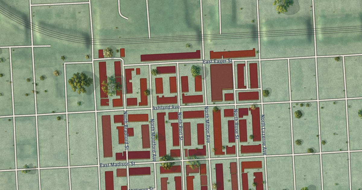
A detailed map of Milton-Montford, Maryland, showing every building in its true location, the roads by name, and shaded topographical relief.
Read More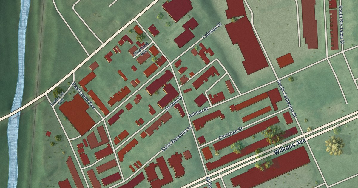
A detailed map of Millhill, Maryland, showing every building in its true location, the roads by name, and shaded topographical relief.
Read More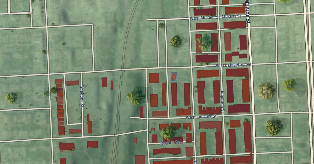
A detailed map of Midtown-Edmondson, Maryland, showing every building in its true location, the roads by name, and shaded topographical relief.
Read More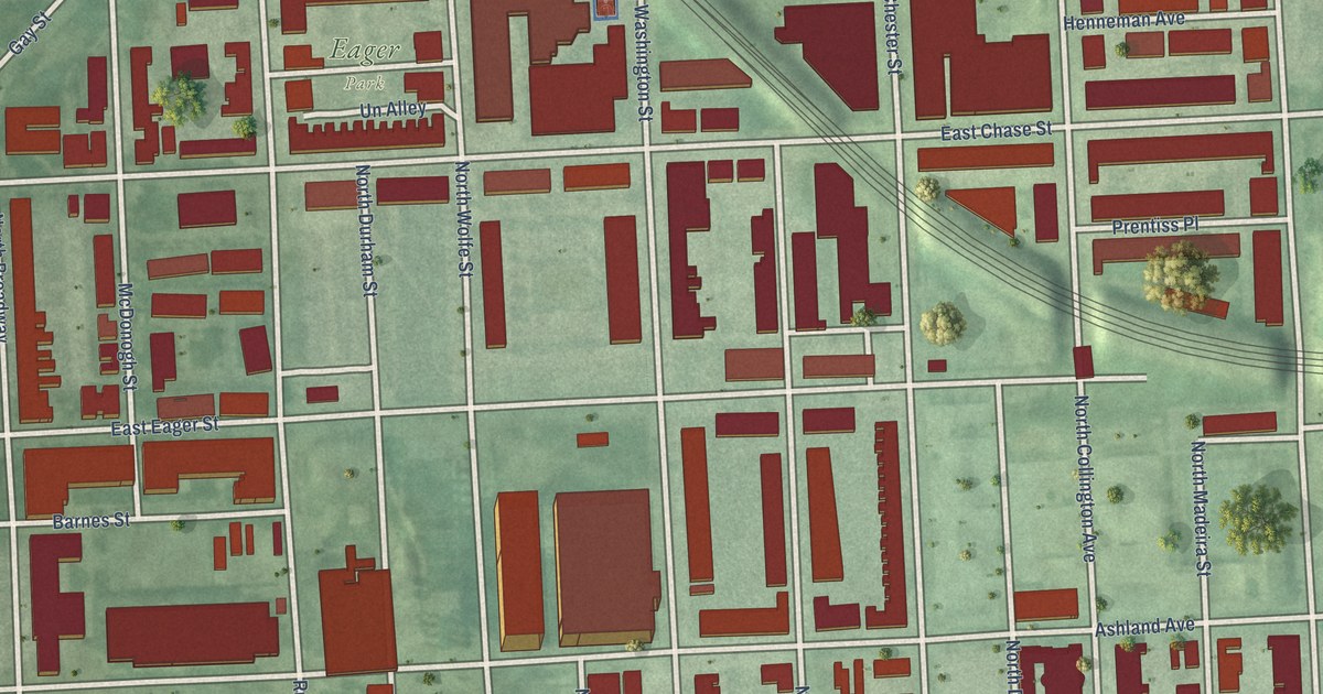
A detailed map of Middle East, Maryland, showing every building in its true location, the roads by name, and shaded topographical relief.
Read More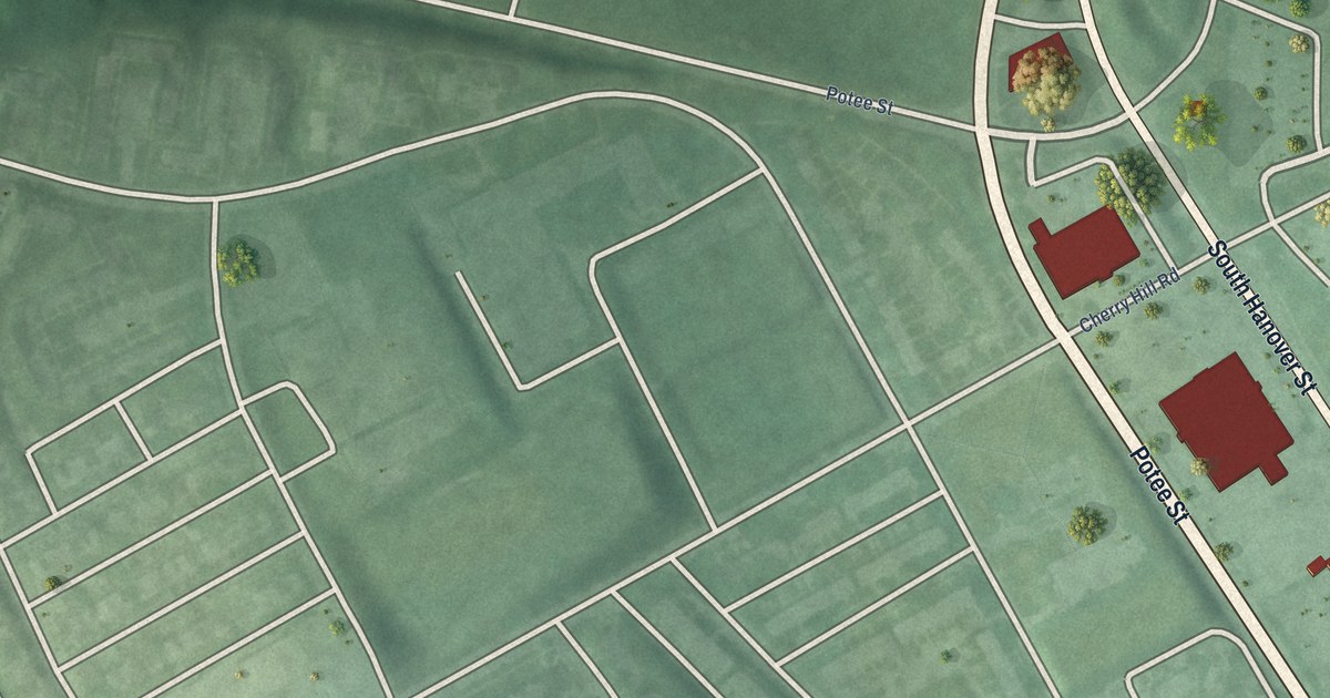
A detailed map of Middle Branch/Reedbird Parks, Maryland, showing every building in its true location, the roads by name, and shaded topographical relief.
Read More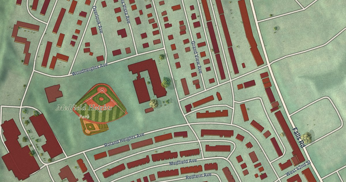
A detailed map of Medfield, Maryland, showing every building in its true location, the roads by name, and shaded topographical relief.
Read More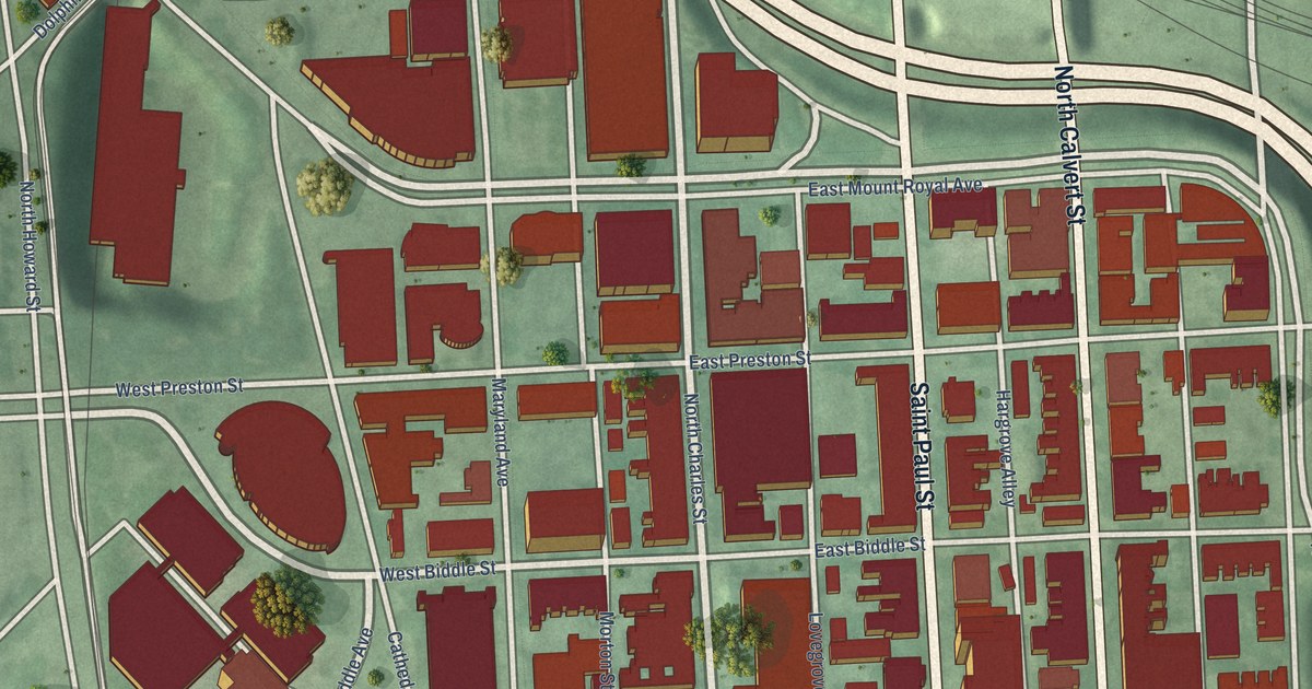
A detailed map of Mid-Town Belvedere, Maryland, showing every building in its true location, the roads by name, and shaded topographical relief.
Read More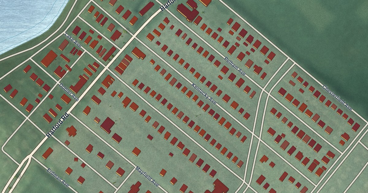
A detailed map of Mayfield, Maryland, showing every building in its true location, the roads by name, and shaded topographical relief.
Read More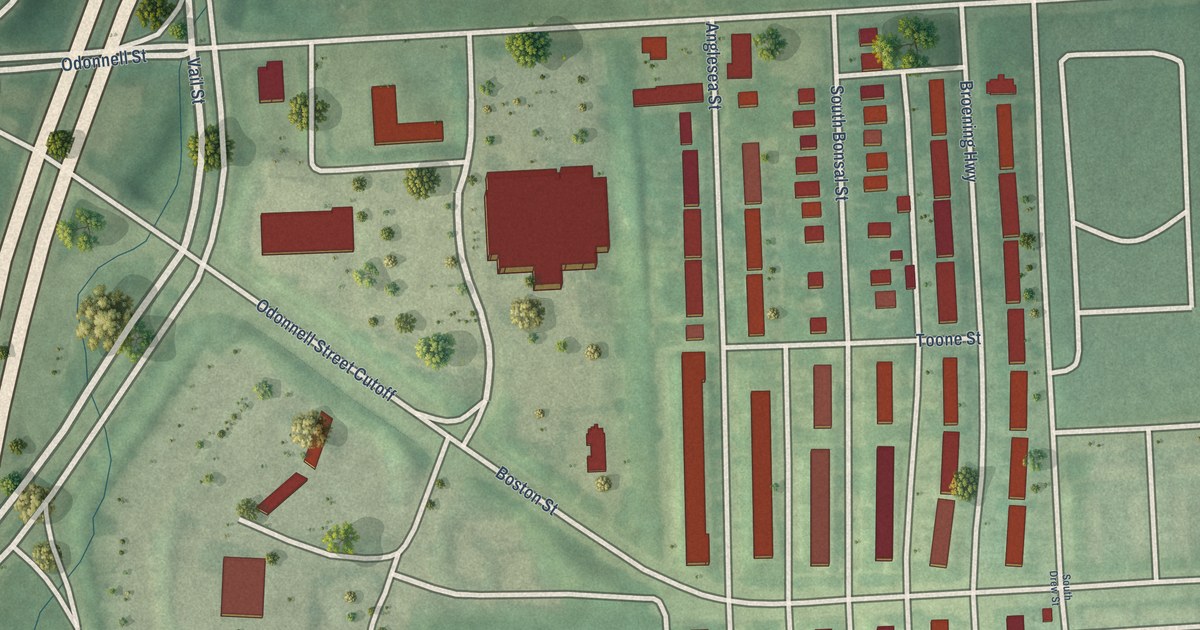
A detailed map of Medford, Maryland, showing every building in its true location, the roads by name, and shaded topographical relief.
Read More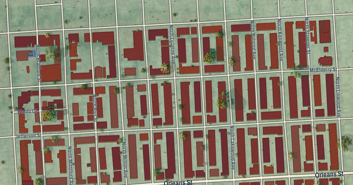
A detailed map of McElderry Park, Maryland, showing every building in its true location, the roads by name, and shaded topographical relief.
Read More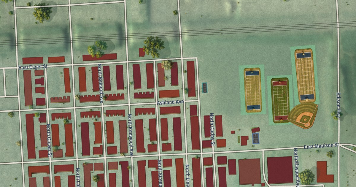
A detailed map of Madison-Eastend, Maryland, showing every building in its true location, the roads by name, and shaded topographical relief.
Read More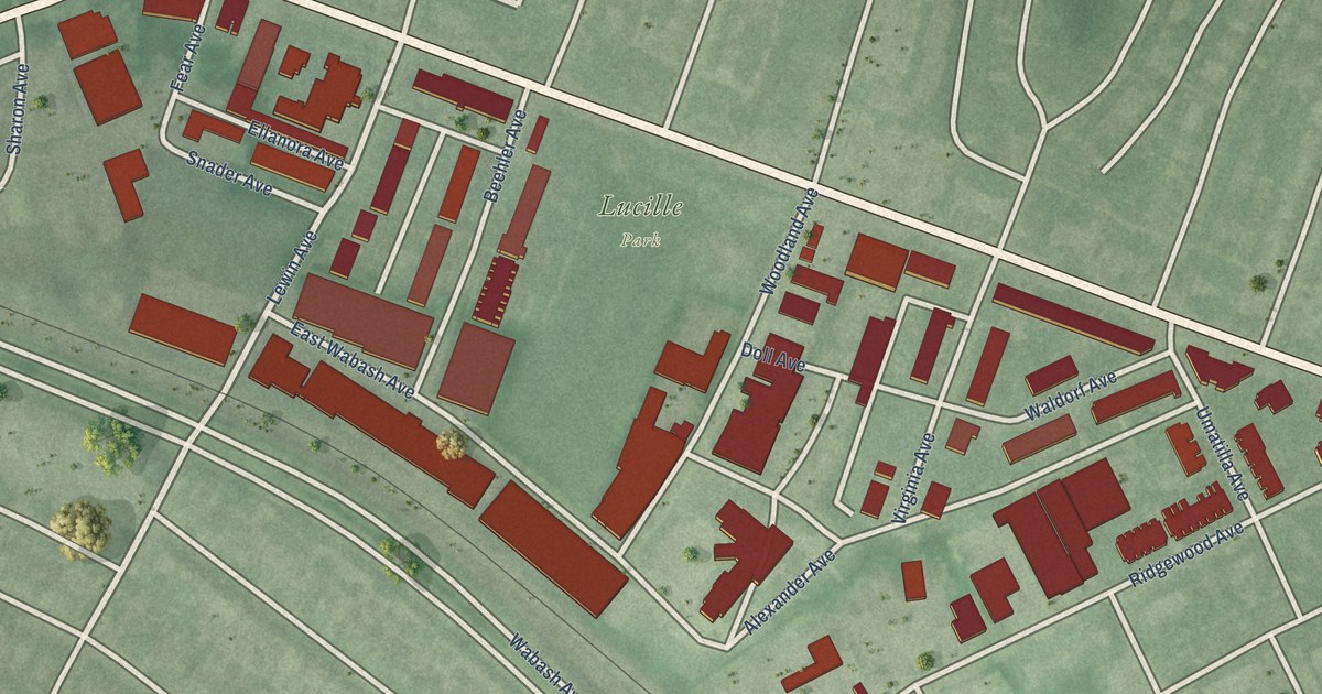
A detailed map of Lucille Park, Maryland, showing every building in its true location, the roads by name, and shaded topographical relief.
Read More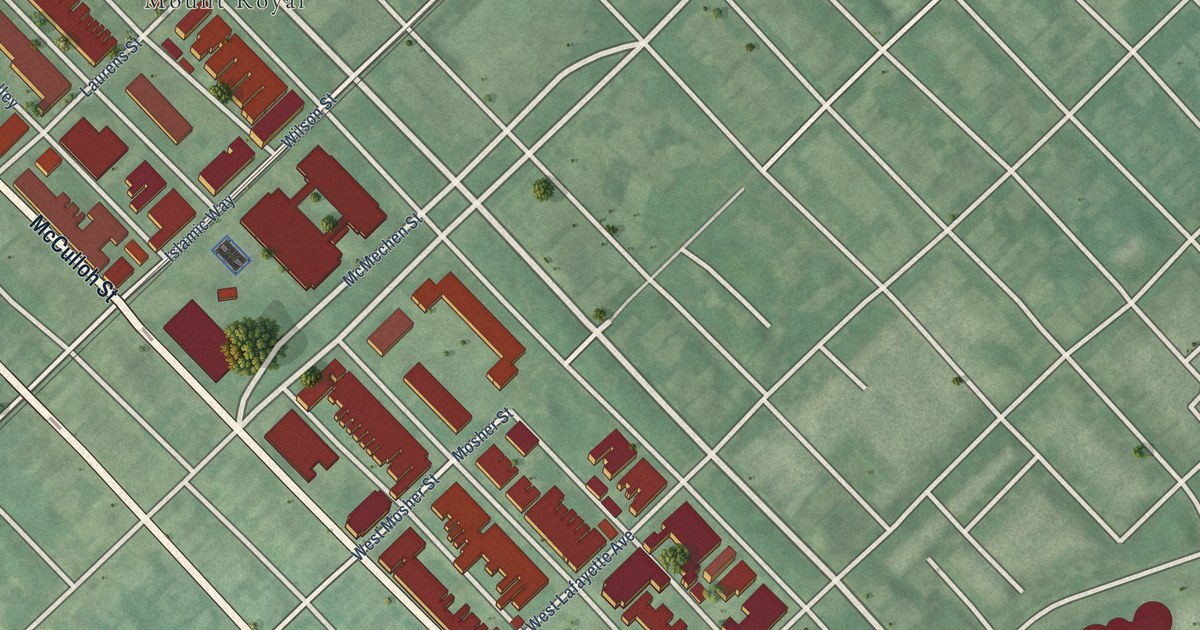
A detailed map of Madison Park, Maryland, showing every building in its true location, the roads by name, and shaded topographical relief.
Read More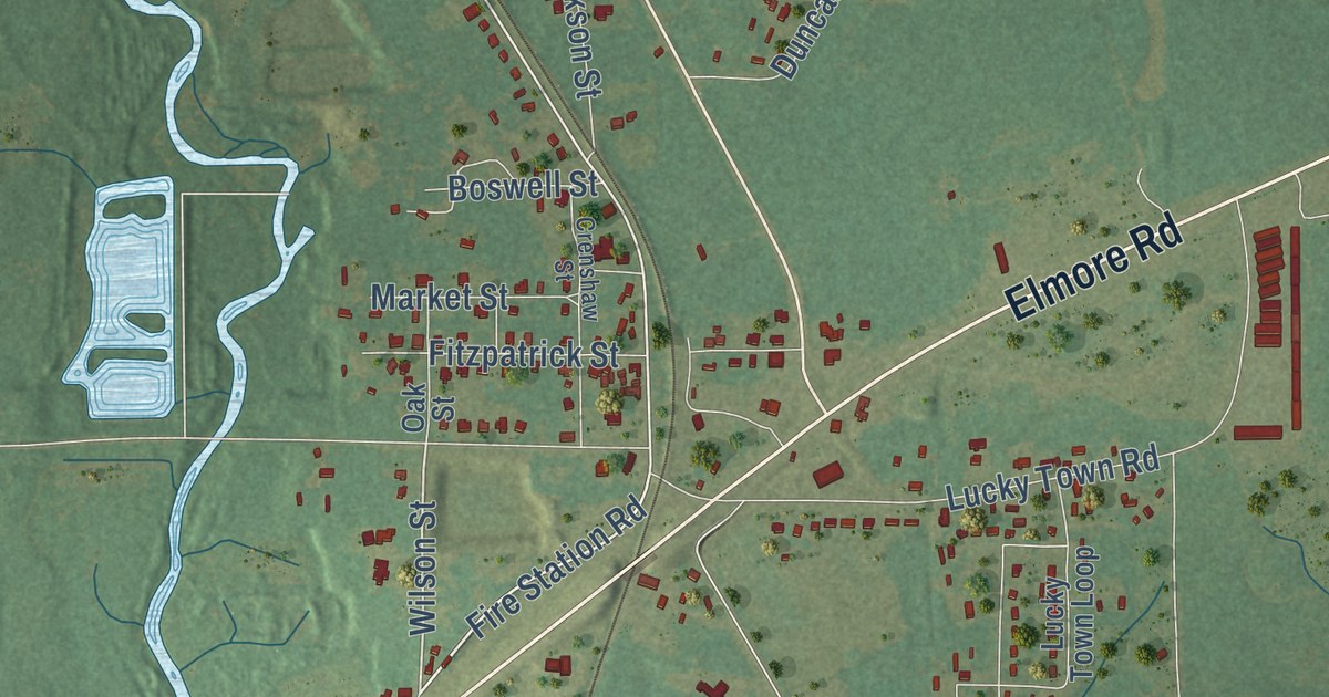
A detailed map of Elmore, Alabama, showing every building in its true location, the roads by name, and shaded topographical relief.
Read More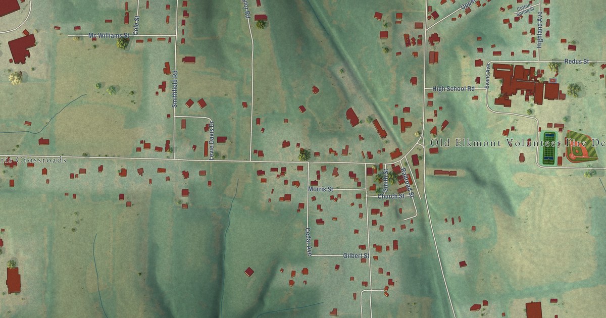
A detailed map of Elkmont, Alabama, showing every building in its true location, the roads by name, and shaded topographical relief.
Read More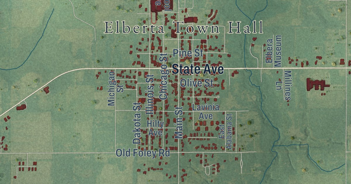
A detailed map of Elberta, Alabama, showing every building in its true location, the roads by name, and shaded topographical relief.
Read More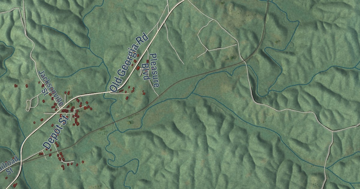
A detailed map of Edwardsville, Alabama, showing every building in its true location, the roads by name, and shaded topographical relief.
Read More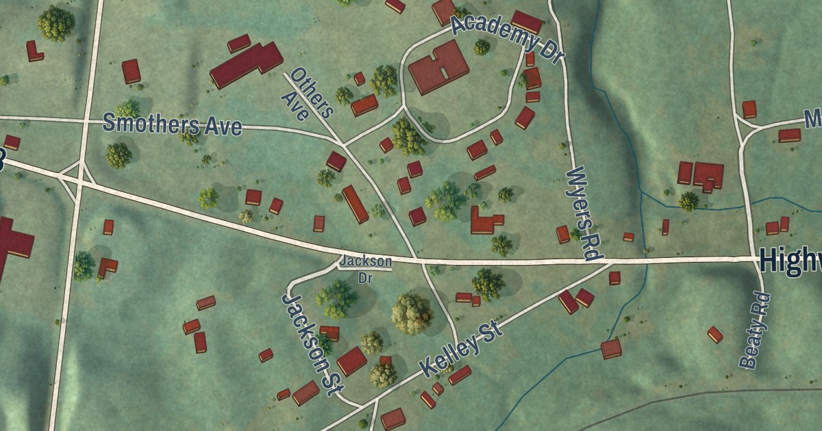
A detailed map of Eldridge, Alabama, showing every building in its true location, the roads by name, and shaded topographical relief.
Read More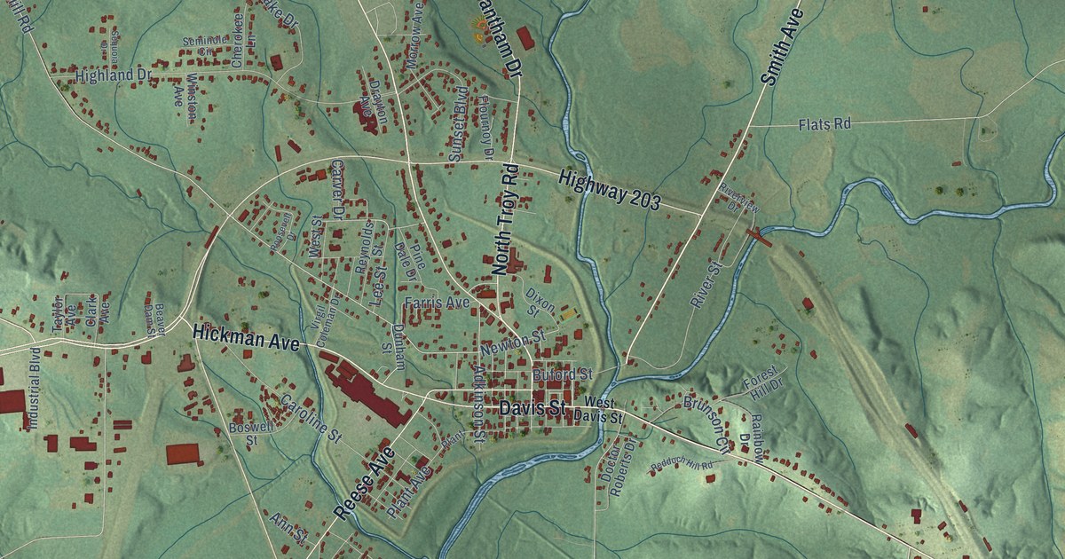
A detailed map of Elba, Alabama, showing every building in its true location, the roads by name, and shaded topographical relief.
Read More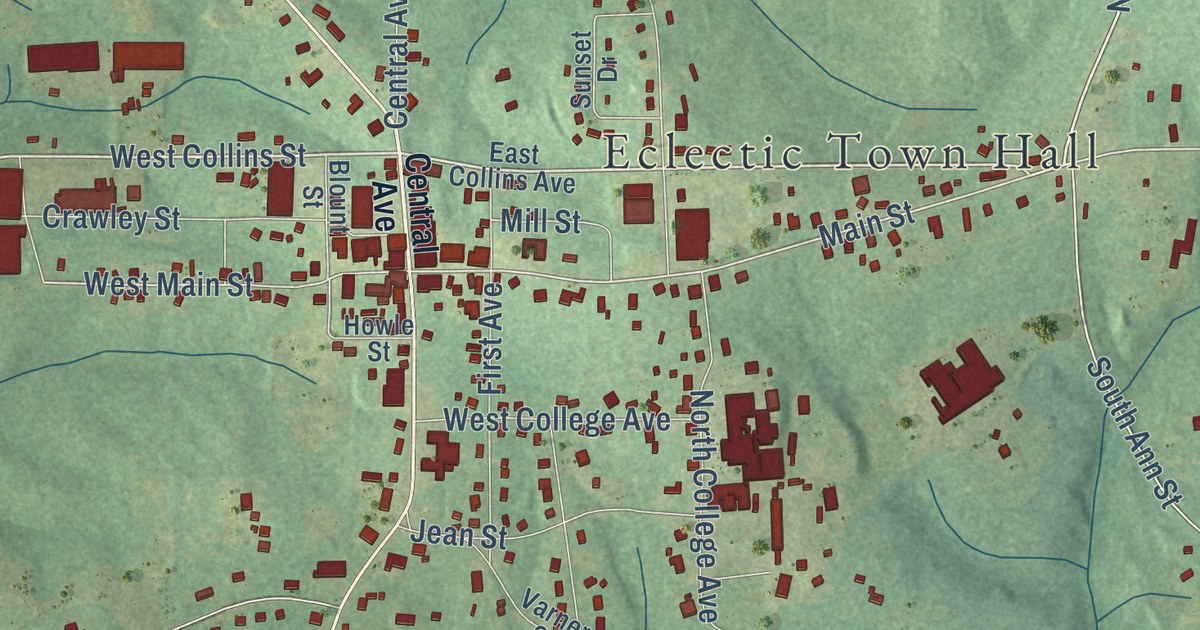
A detailed map of Eclectic, Alabama, showing every building in its true location, the roads by name, and shaded topographical relief.
Read More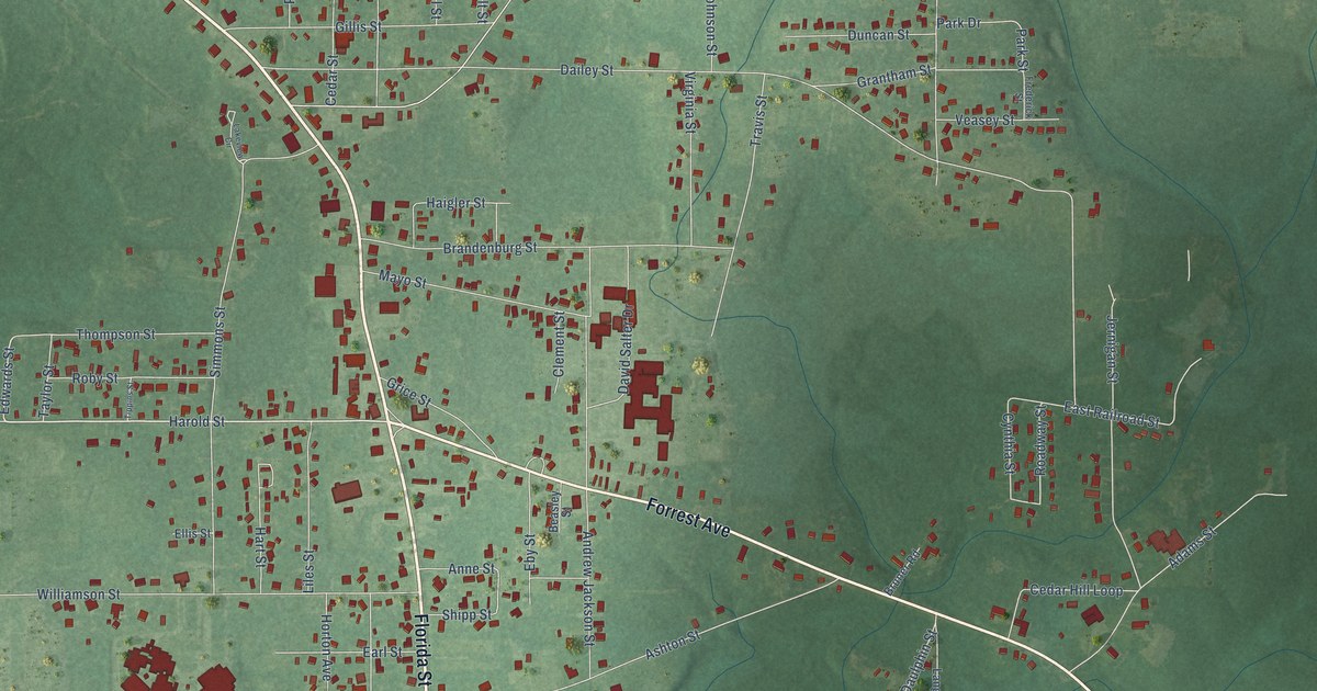
A detailed map of East Brewton, Alabama, showing every building in its true location, the roads by name, and shaded topographical relief.
Read More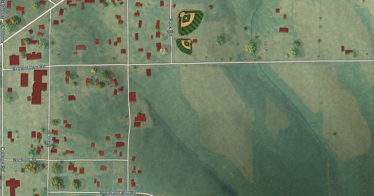
A detailed map of Dutton, Alabama, showing every building in its true location, the roads by name, and shaded topographical relief.
Read More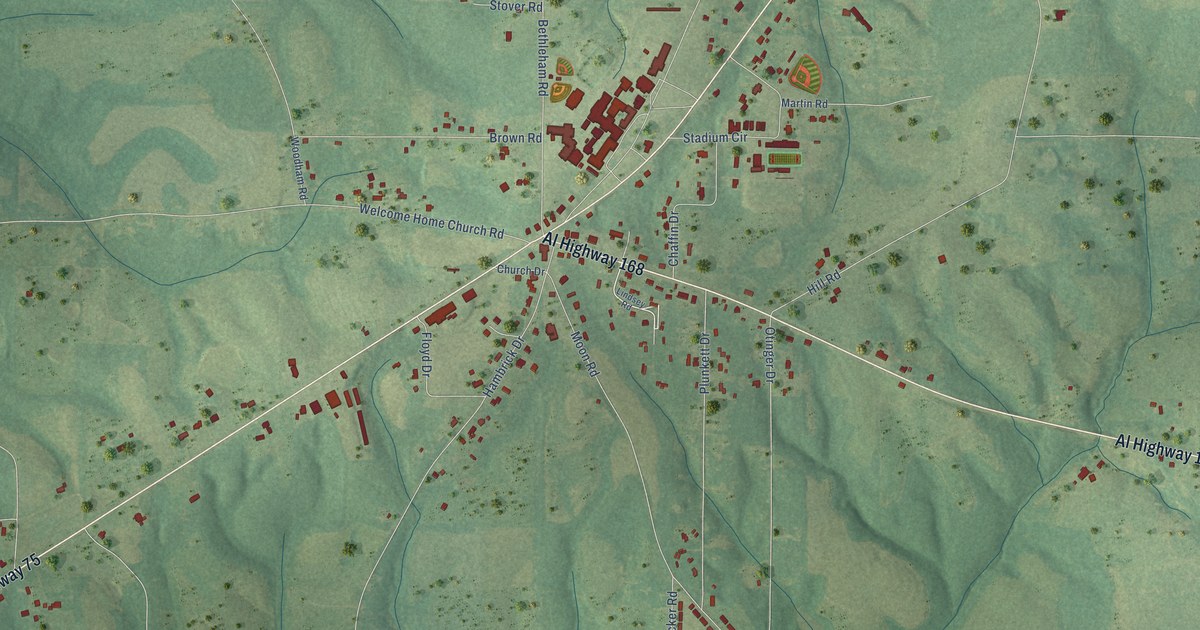
A detailed map of Douglas, Alabama, showing every building in its true location, the roads by name, and shaded topographical relief.
Read More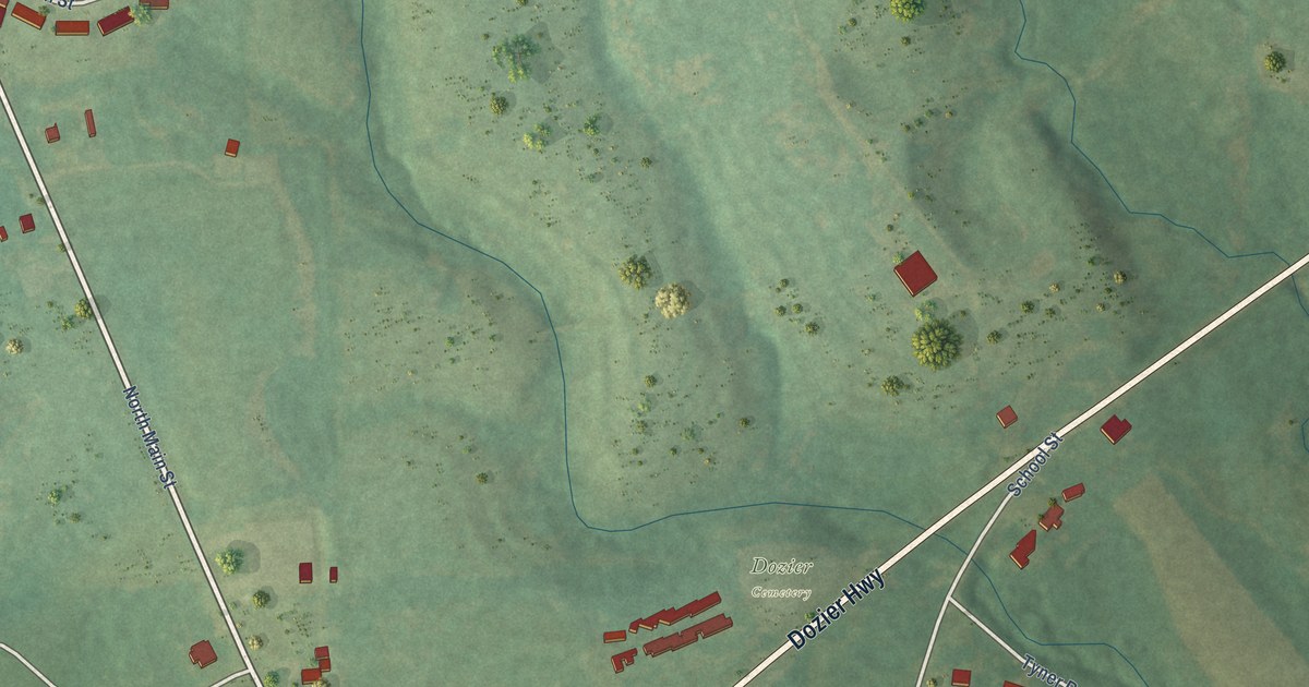
A detailed map of Dozier, Alabama, showing every building in its true location, the roads by name, and shaded topographical relief.
Read More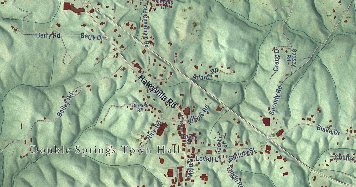
A detailed map of Double Springs, Alabama, showing every building in its true location, the roads by name, and shaded topographical relief.
Read More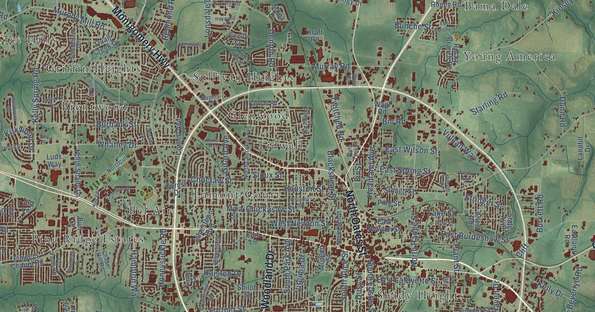
A detailed map of Dothan, Alabama, showing every building in its true location, the roads by name, and shaded topographical relief.
Read More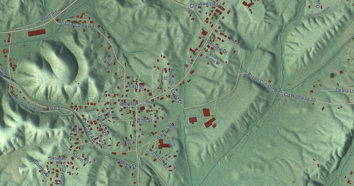
A detailed map of Dora, Alabama, showing every building in its true location, the roads by name, and shaded topographical relief.
Read More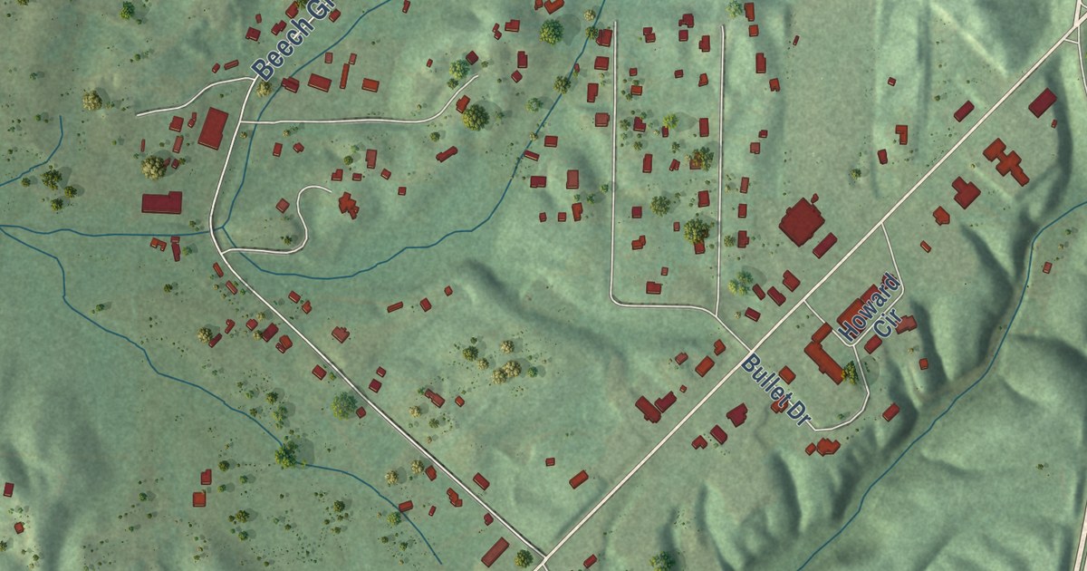
A detailed map of Dodge City, Alabama, showing every building in its true location, the roads by name, and shaded topographical relief.
Read More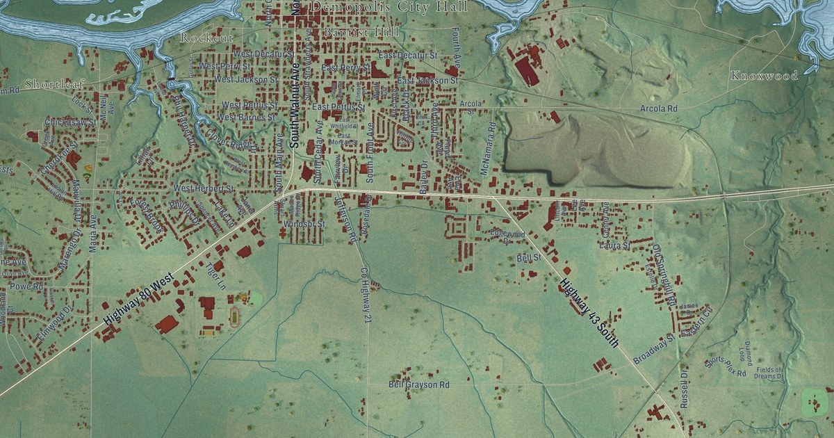
A detailed map of Demopolis, Alabama, showing every building in its true location, the roads by name, and shaded topographical relief.
Read More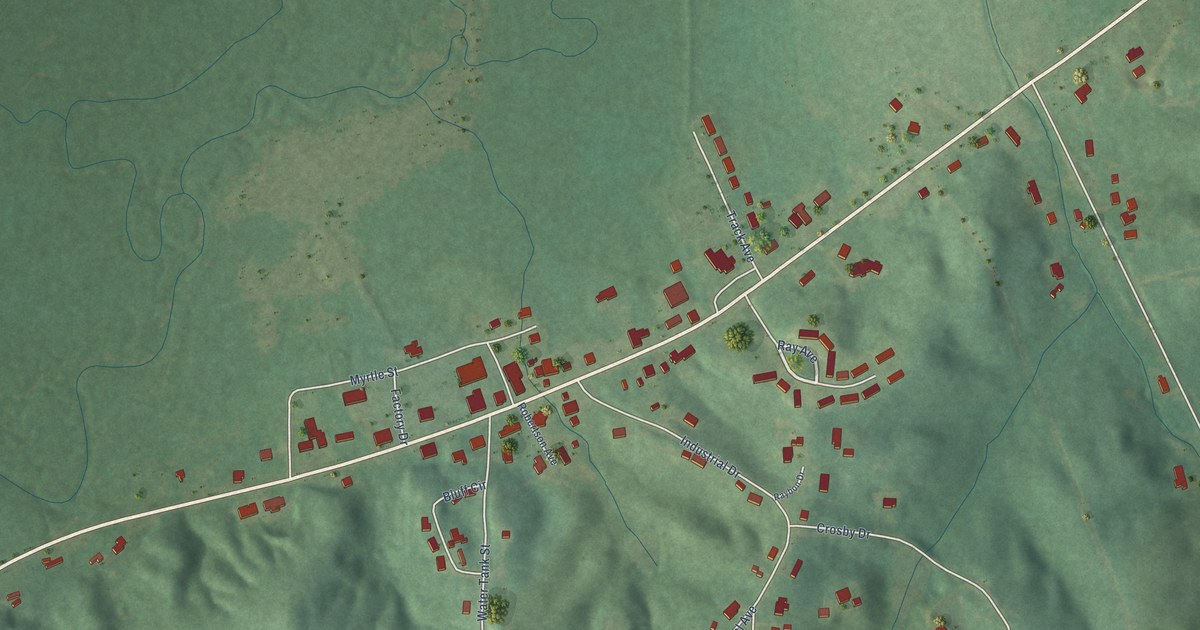
A detailed map of Detroit, Alabama, showing every building in its true location, the roads by name, and shaded topographical relief.
Read More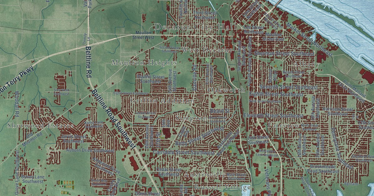
A detailed map of Decatur, Alabama, showing every building in its true location, the roads by name, and shaded topographical relief.
Read More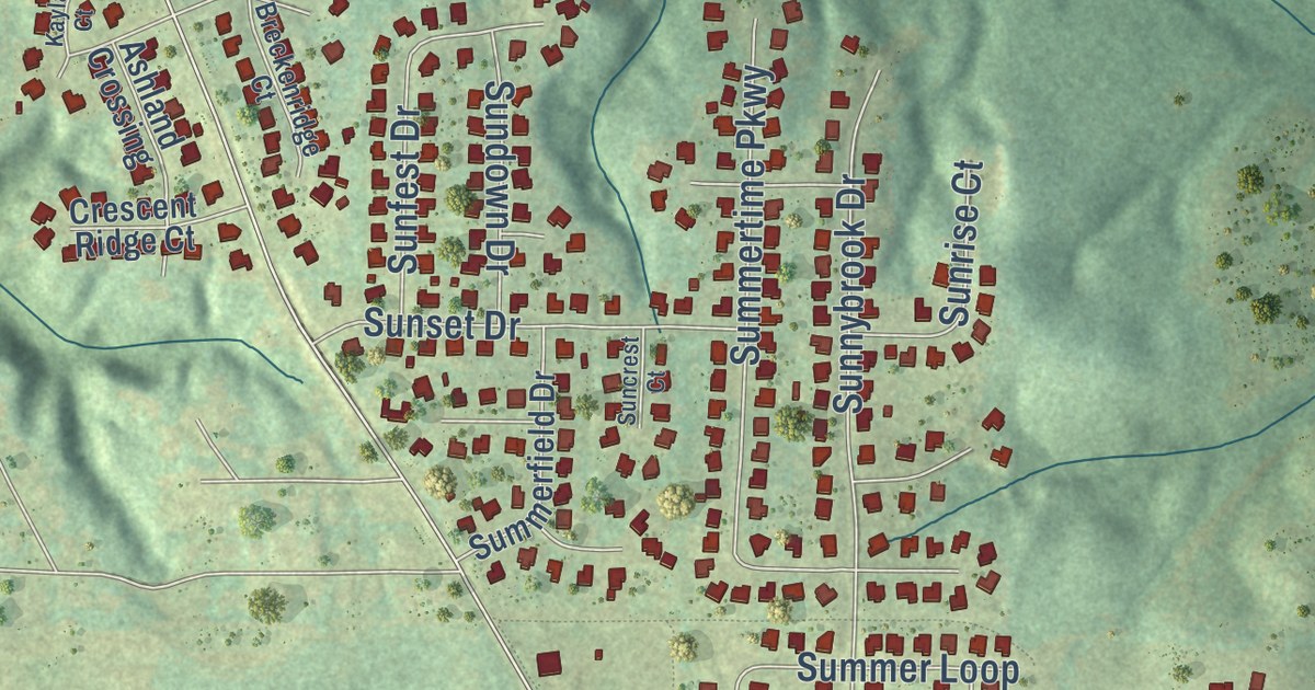
A detailed map of Deatsville, Alabama, showing every building in its true location, the roads by name, and shaded topographical relief.
Read More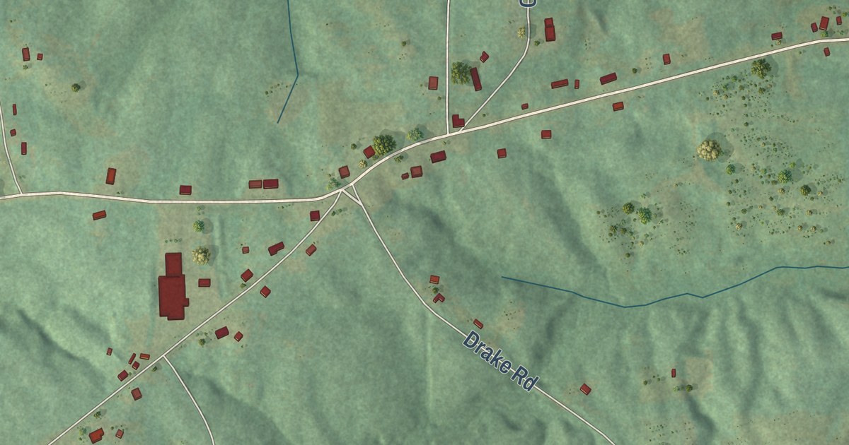
A detailed map of Daviston, Alabama, showing every building in its true location, the roads by name, and shaded topographical relief.
Read More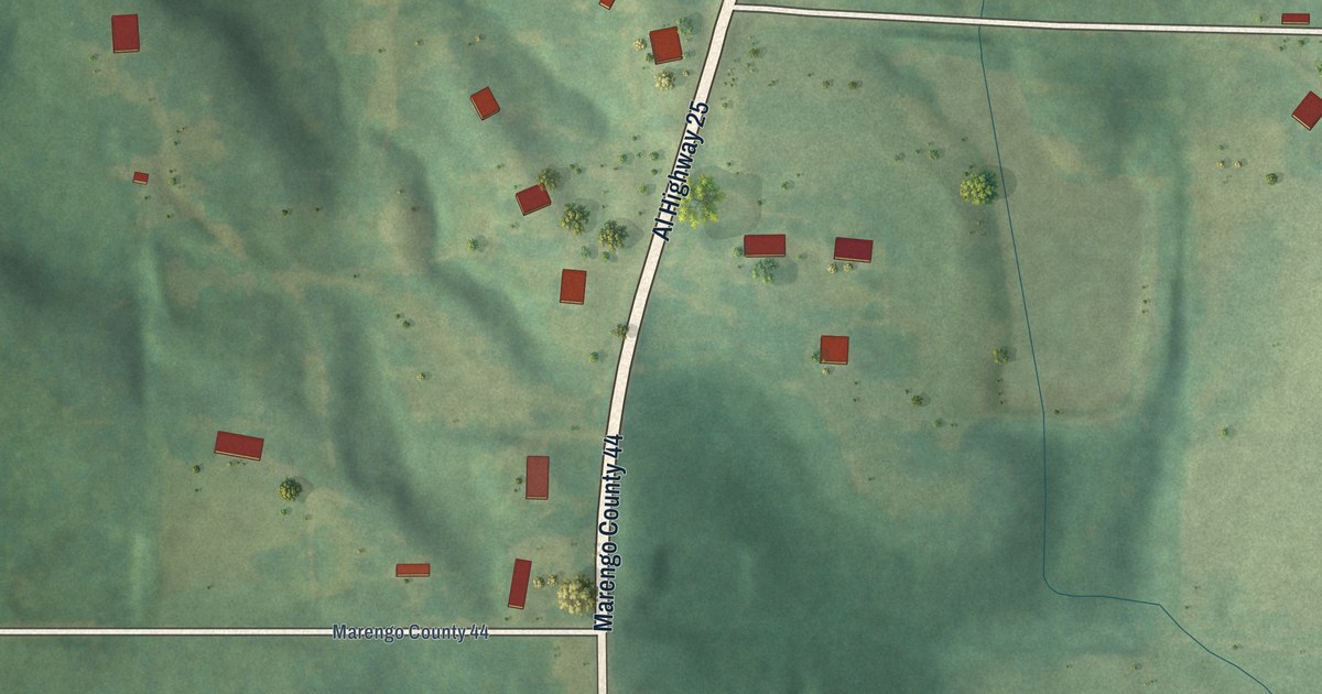
A detailed map of Dayton, Alabama, showing every building in its true location, the roads by name, and shaded topographical relief.
Read More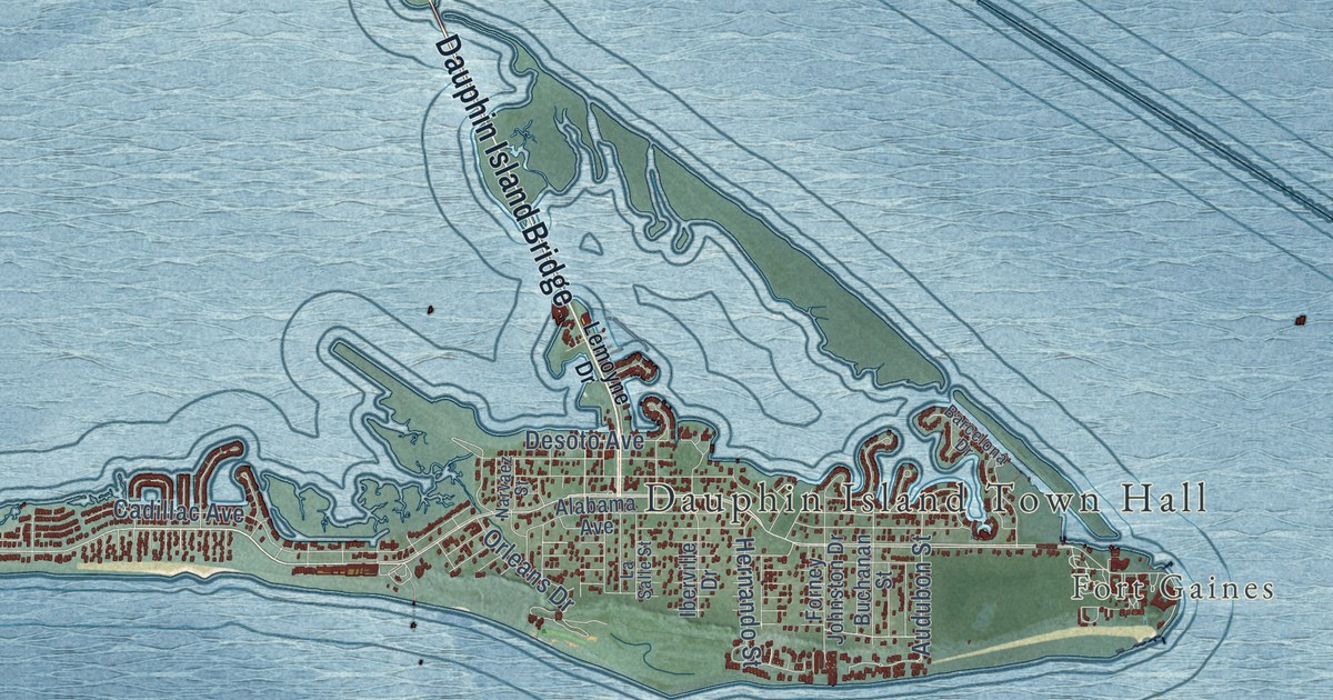
A detailed map of Dauphin Island, Alabama, showing every building in its true location, the roads by name, and shaded topographical relief.
Read More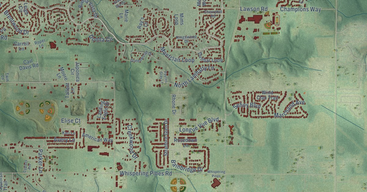
A detailed map of Daphne, Alabama, showing every building in its true location, the roads by name, and shaded topographical relief.
Read More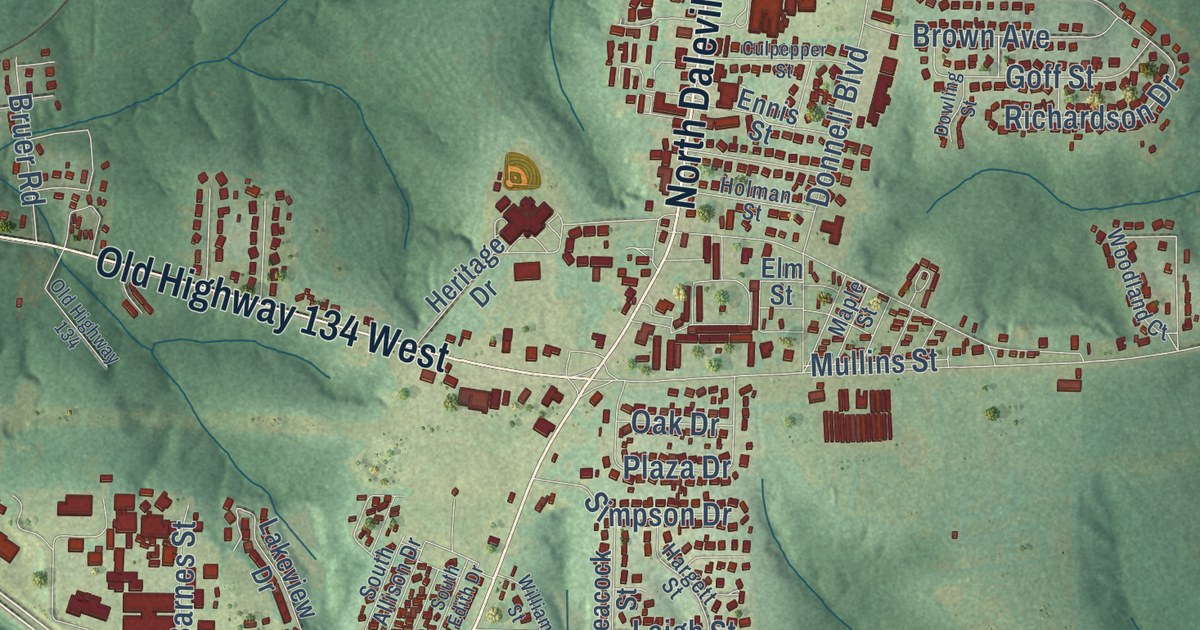
A detailed map of Daleville, Alabama, showing every building in its true location, the roads by name, and shaded topographical relief.
Read More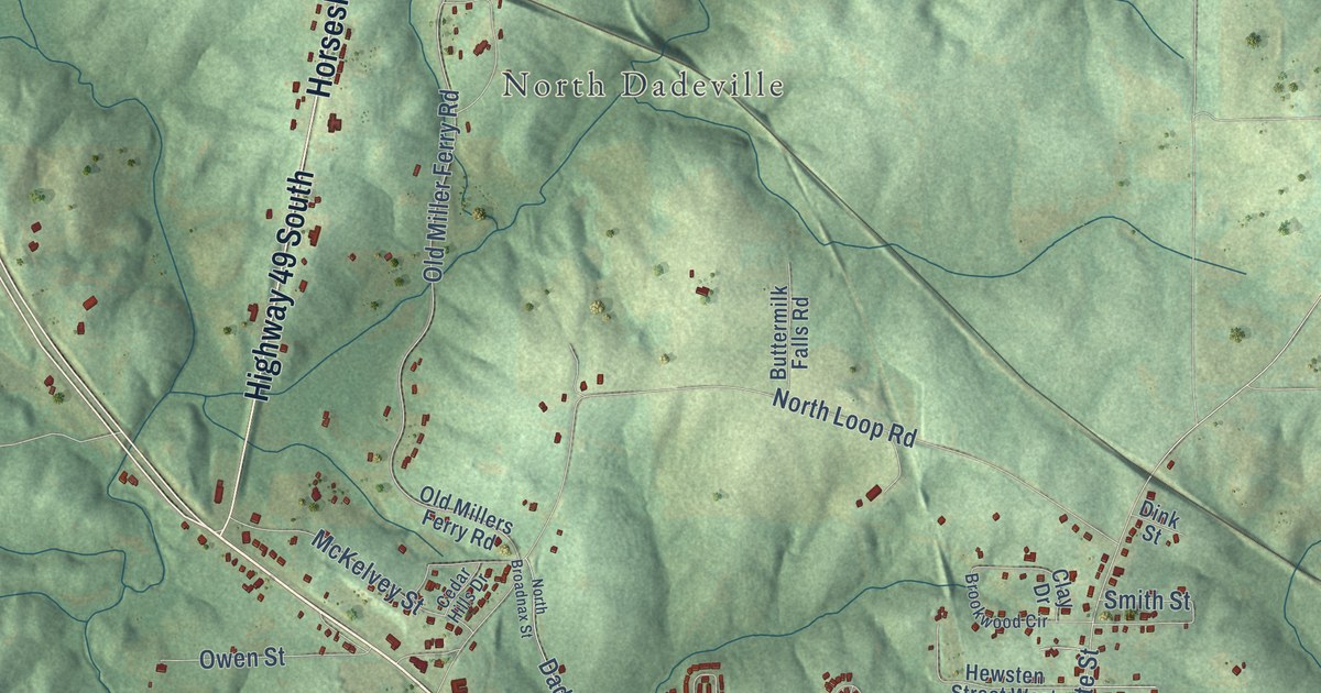
A detailed map of Dadeville, Alabama, showing every building in its true location, the roads by name, and shaded topographical relief.
Read More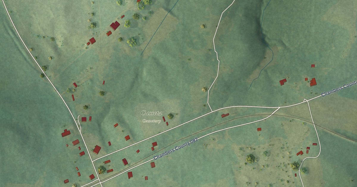
A detailed map of Cusseta, Alabama, showing every building in its true location, the roads by name, and shaded topographical relief.
Read More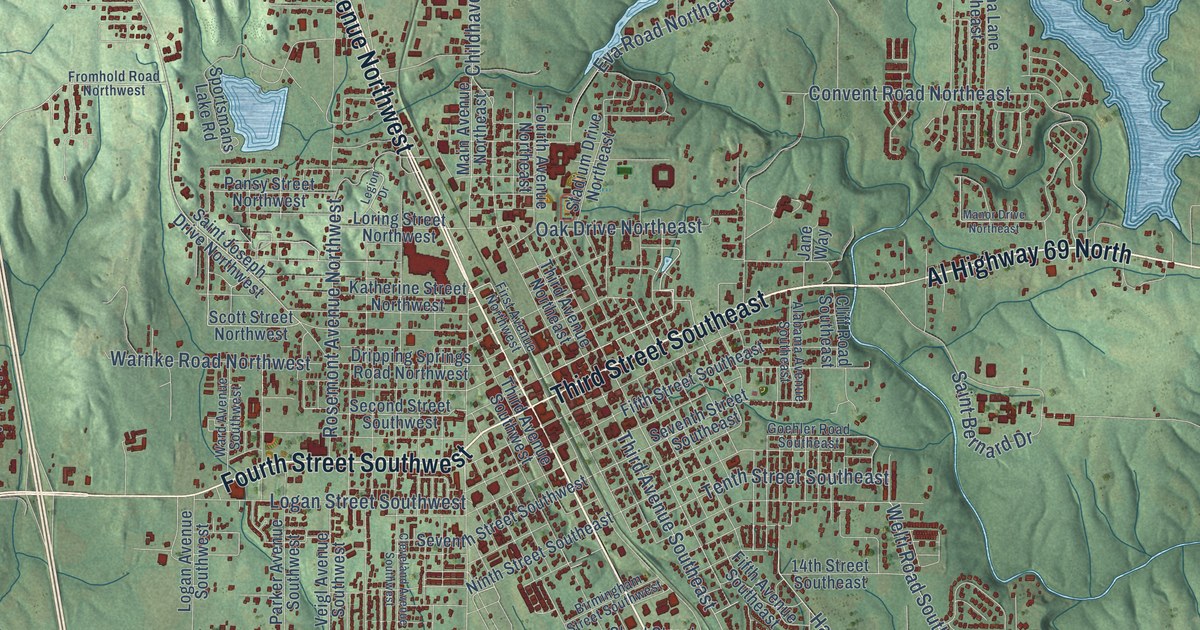
A detailed map of Cullman, Alabama, showing every building in its true location, the roads by name, and shaded topographical relief.
Read More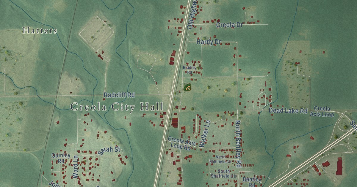
A detailed map of Creola, Alabama, showing every building in its true location, the roads by name, and shaded topographical relief.
Read More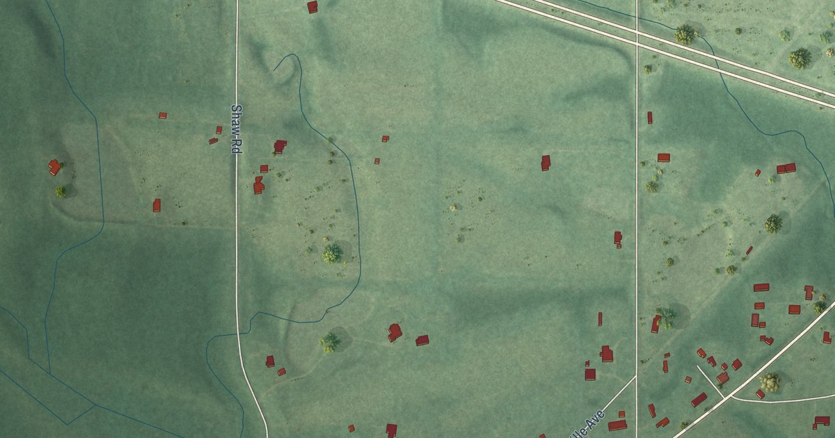
A detailed map of Cuba, Alabama, showing every building in its true location, the roads by name, and shaded topographical relief.
Read More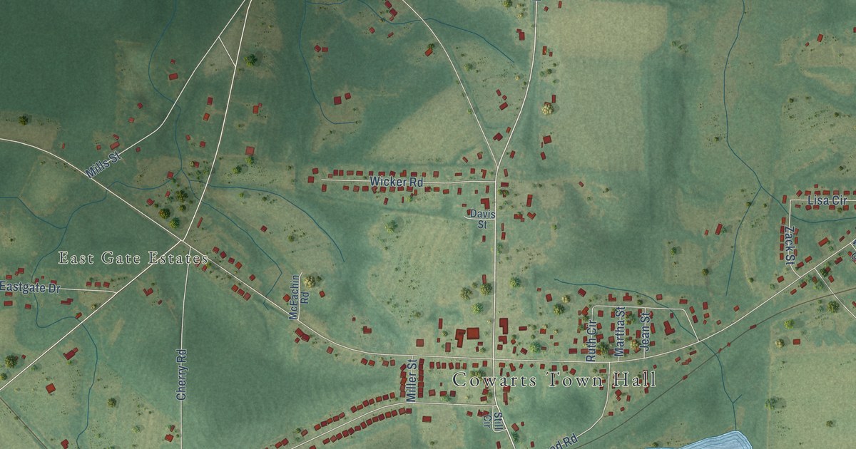
A detailed map of Cowarts, Alabama, showing every building in its true location, the roads by name, and shaded topographical relief.
Read More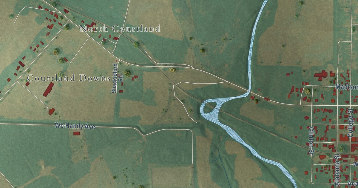
A detailed map of Courtland, Alabama, showing every building in its true location, the roads by name, and shaded topographical relief.
Read More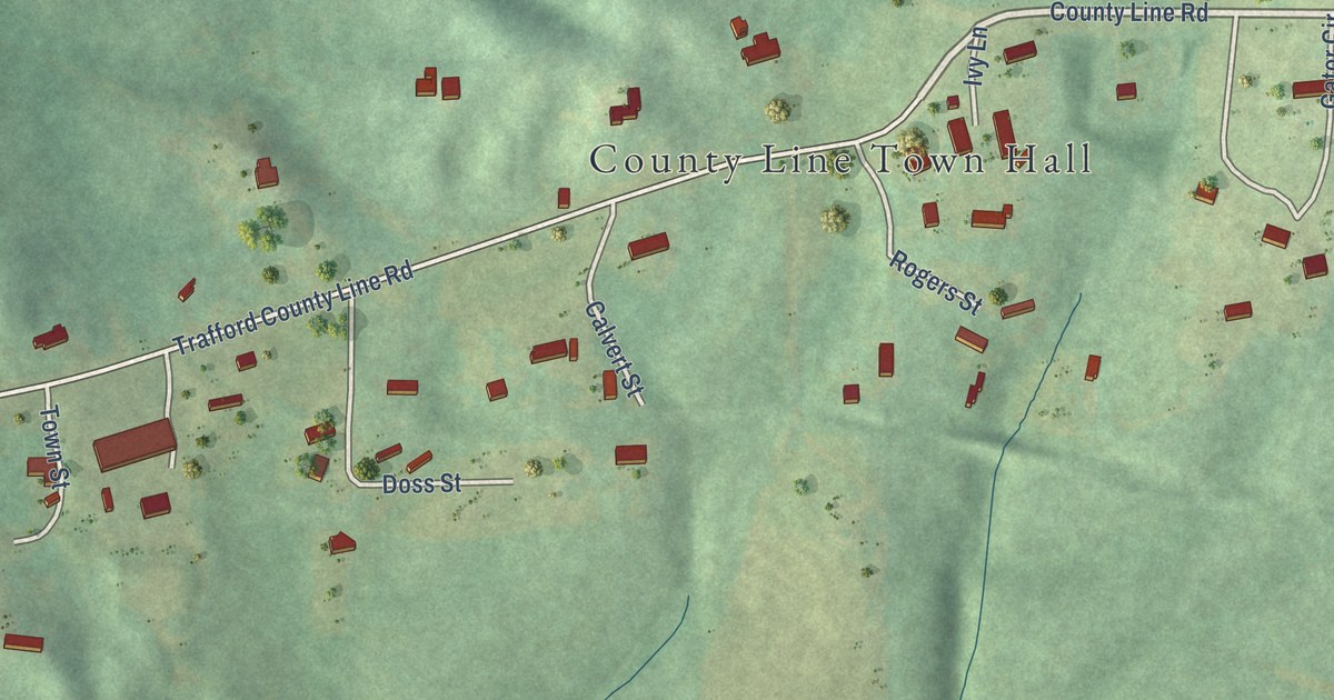
A detailed map of County Line, Alabama, showing every building in its true location, the roads by name, and shaded topographical relief.
Read More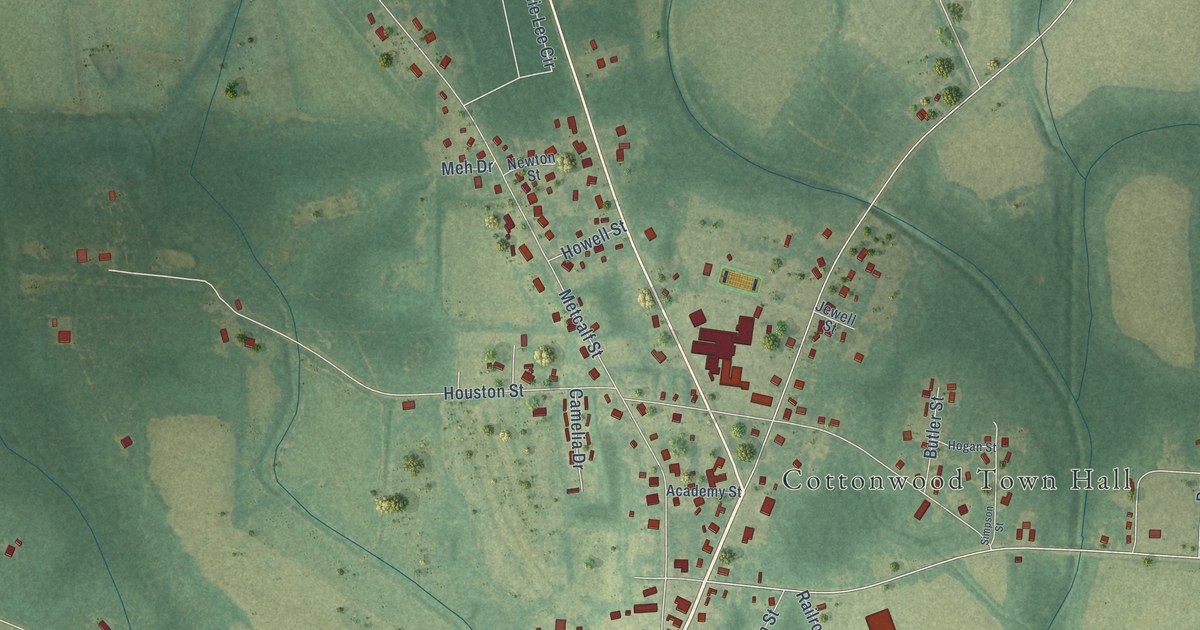
A detailed map of Cottonwood, Alabama, showing every building in its true location, the roads by name, and shaded topographical relief.
Read More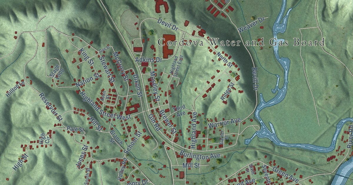
A detailed map of Cordova, Alabama, showing every building in its true location, the roads by name, and shaded topographical relief.
Read More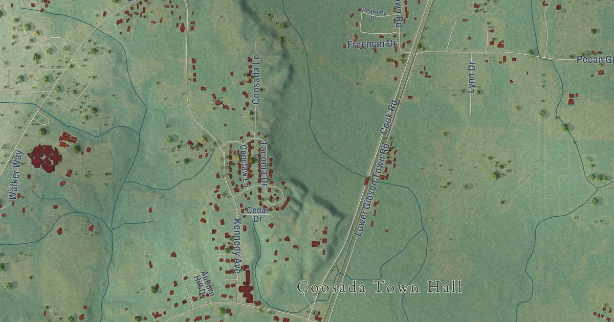
A detailed map of Coosada, Alabama, showing every building in its true location, the roads by name, and shaded topographical relief.
Read More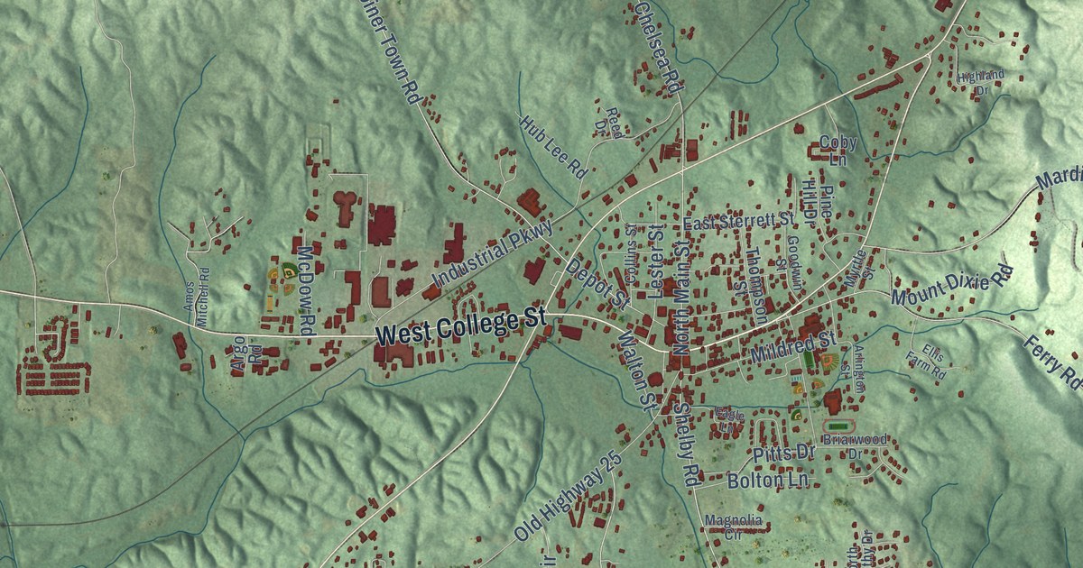
A detailed map of Columbiana, Alabama, showing every building in its true location, the roads by name, and shaded topographical relief.
Read More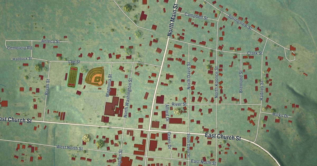
A detailed map of Columbia, Alabama, showing every building in its true location, the roads by name, and shaded topographical relief.
Read More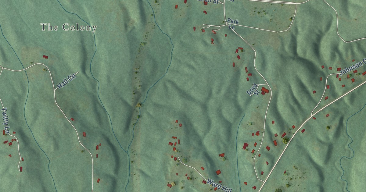
A detailed map of Colony, Alabama, showing every building in its true location, the roads by name, and shaded topographical relief.
Read More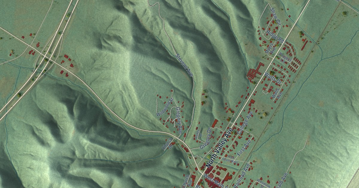
A detailed map of Collinsville, Alabama, showing every building in its true location, the roads by name, and shaded topographical relief.
Read More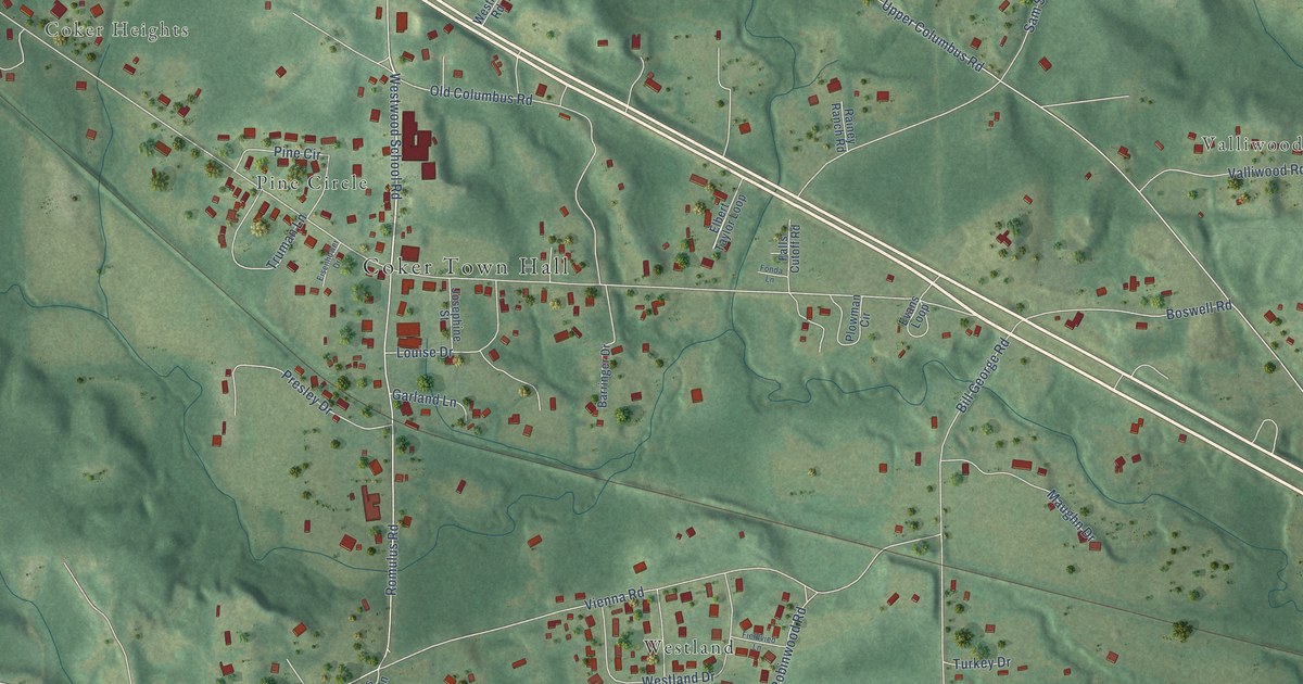
A detailed map of Coker, Alabama, showing every building in its true location, the roads by name, and shaded topographical relief.
Read More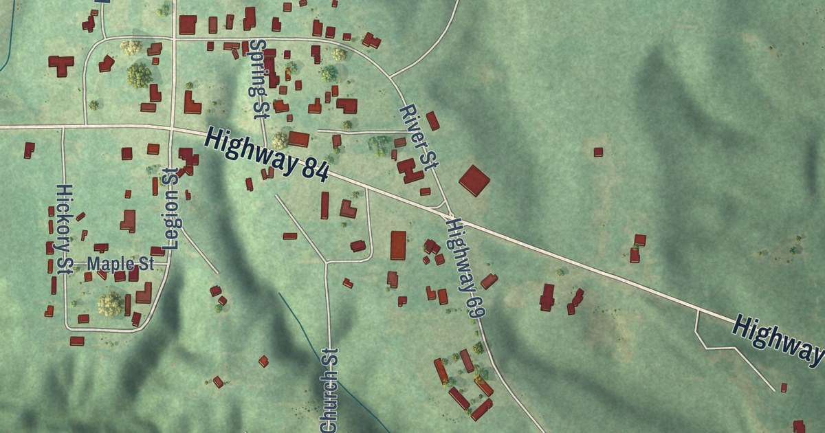
A detailed map of Coffeeville, Alabama, showing every building in its true location, the roads by name, and shaded topographical relief.
Read More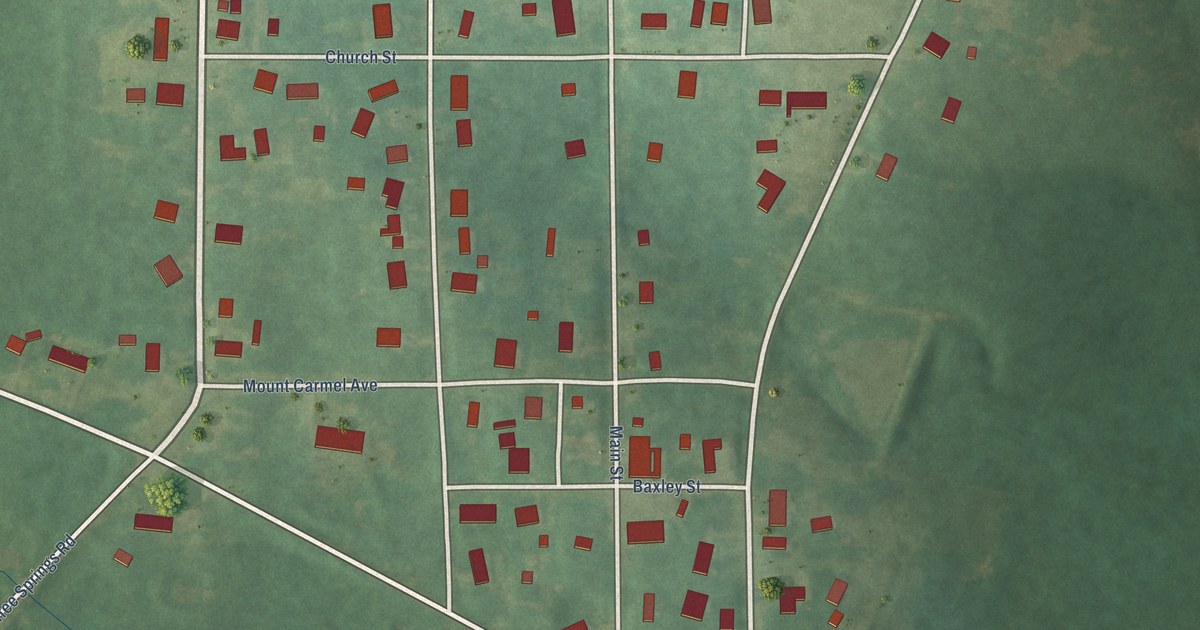
A detailed map of Coffee Springs, Alabama, showing every building in its true location, the roads by name, and shaded topographical relief.
Read More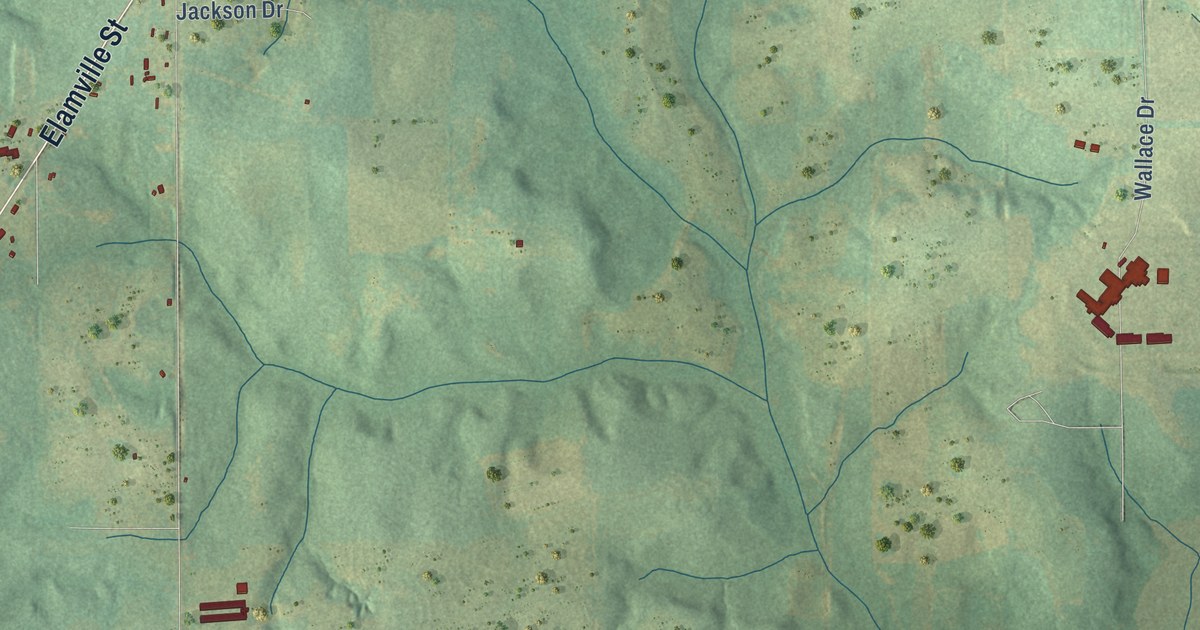
A detailed map of Clio, Alabama, showing every building in its true location, the roads by name, and shaded topographical relief.
Read More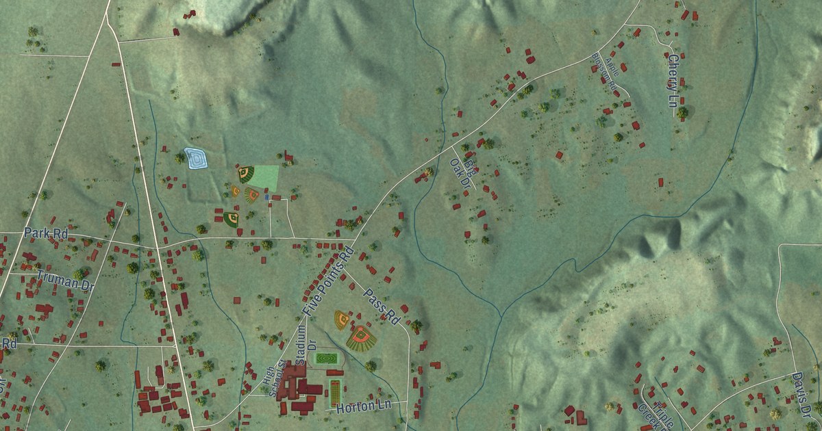
A detailed map of Cleveland, Alabama, showing every building in its true location, the roads by name, and shaded topographical relief.
Read More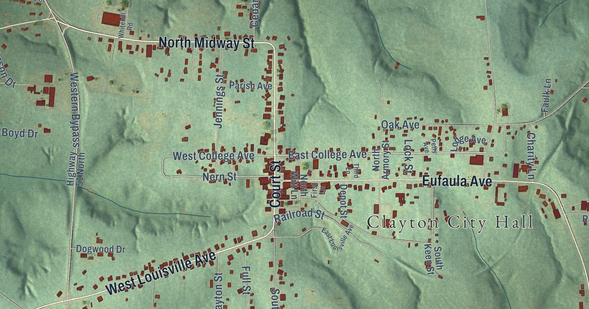
A detailed map of Clayton, Alabama, showing every building in its true location, the roads by name, and shaded topographical relief.
Read More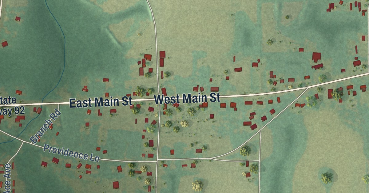
A detailed map of Clayhatchee, Alabama, showing every building in its true location, the roads by name, and shaded topographical relief.
Read More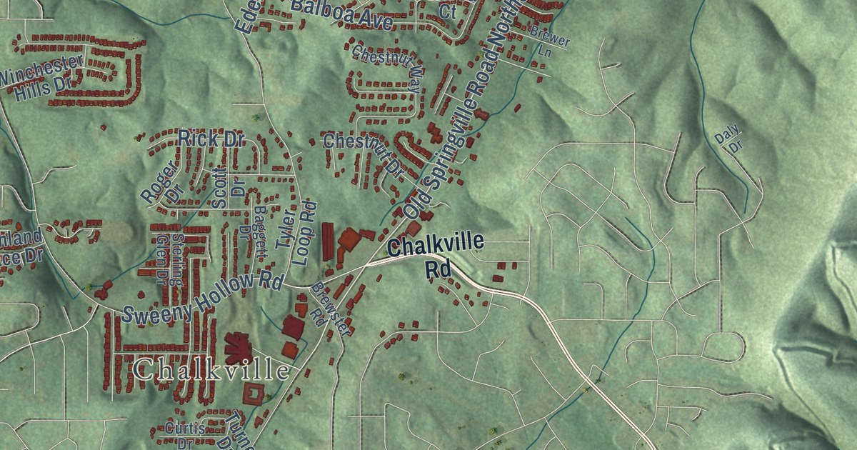
A detailed map of Clay, Alabama, showing every building in its true location, the roads by name, and shaded topographical relief.
Read More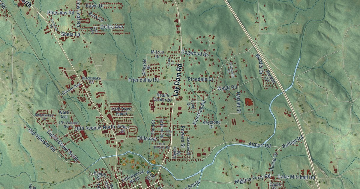
A detailed map of Clanton, Alabama, showing every building in its true location, the roads by name, and shaded topographical relief.
Read More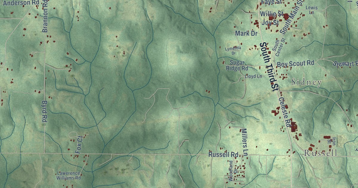
A detailed map of Citronelle, Alabama, showing every building in its true location, the roads by name, and shaded topographical relief.
Read More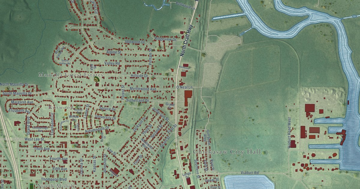
A detailed map of Chickasaw, Alabama, showing every building in its true location, the roads by name, and shaded topographical relief.
Read More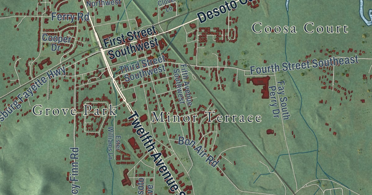
A detailed map of Childersburg, Alabama, showing every building in its true location, the roads by name, and shaded topographical relief.
Read More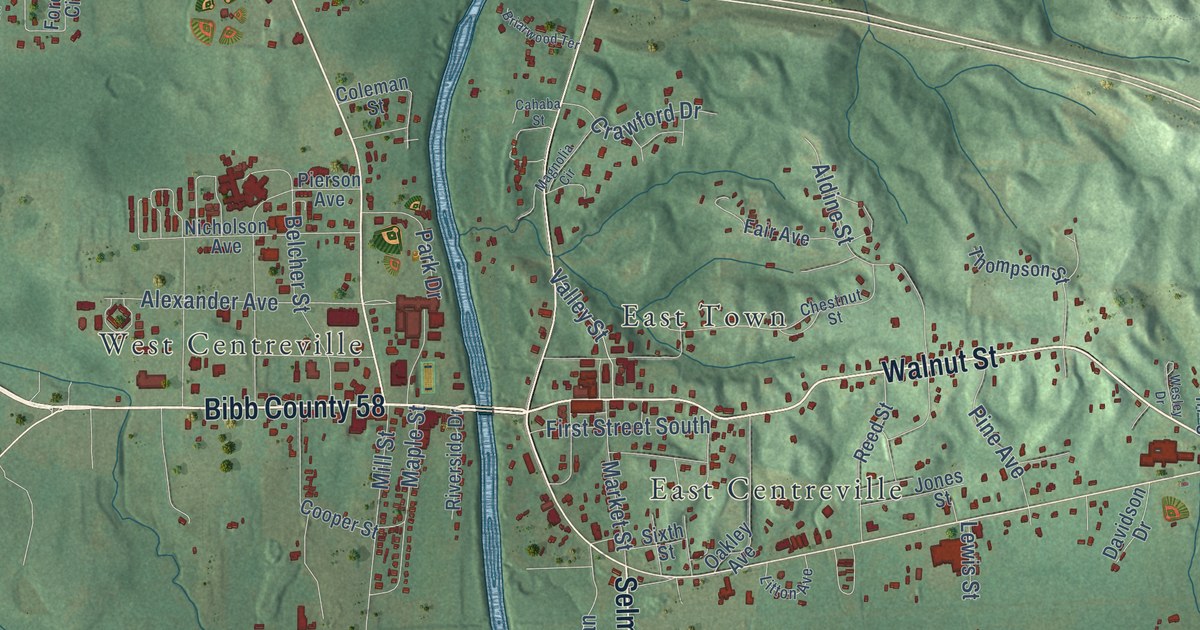
A detailed map of Centreville, Alabama, showing every building in its true location, the roads by name, and shaded topographical relief.
Read More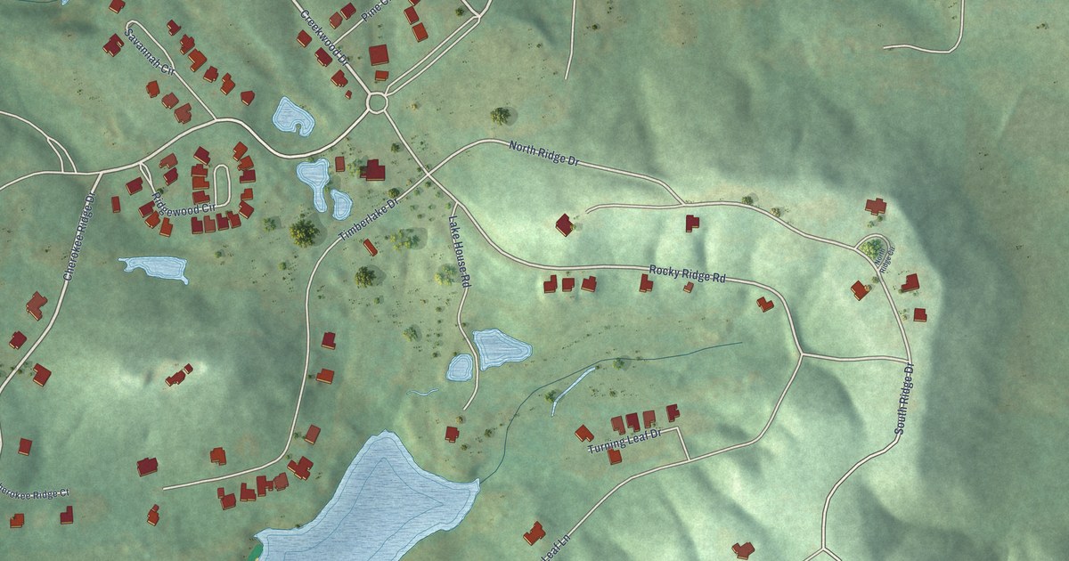
A detailed map of Cherokee Ridge, Alabama, showing every building in its true location, the roads by name, and shaded topographical relief.
Read More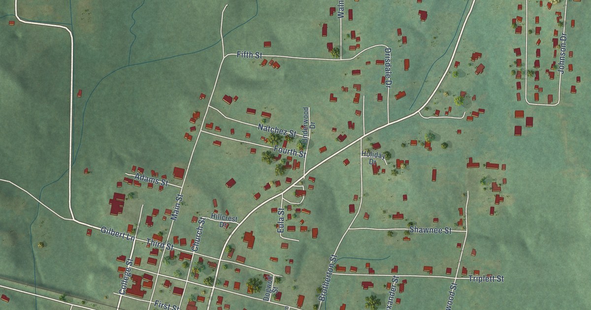
A detailed map of Cherokee, Alabama, showing every building in its true location, the roads by name, and shaded topographical relief.
Read More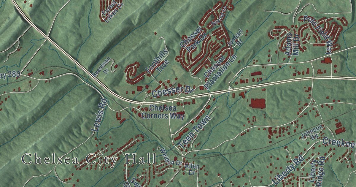
A detailed map of Chelsea, Alabama, showing every building in its true location, the roads by name, and shaded topographical relief.
Read More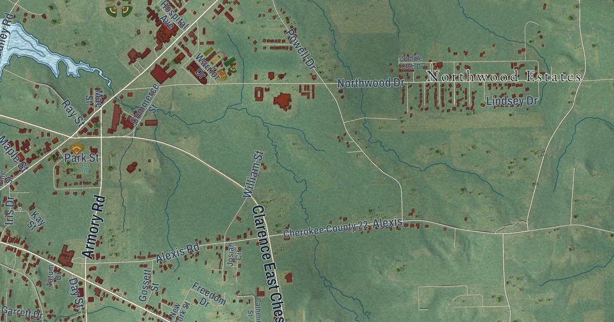
A detailed map of Centre, Alabama, showing every building in its true location, the roads by name, and shaded topographical relief.
Read More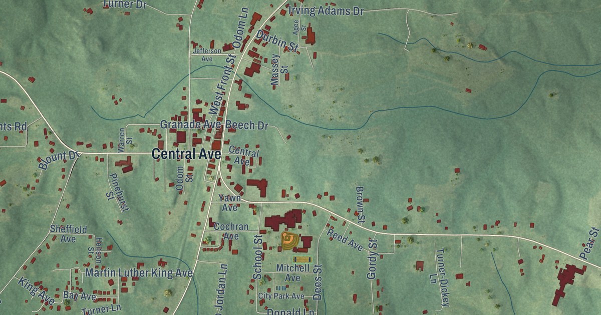
A detailed map of Chatom, Alabama, showing every building in its true location, the roads by name, and shaded topographical relief.
Read More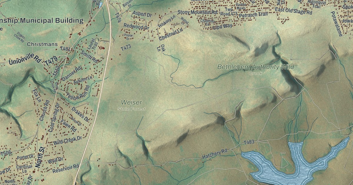
A detailed map of Penn Forest, Pennsylvania, showing every building in its true location, the roads by name, and shaded topographical relief.
Read More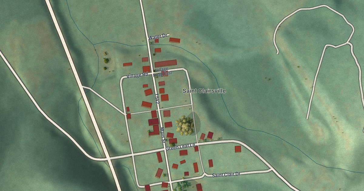
A detailed map of St. Clairsville, Pennsylvania, showing every building in its true location, the roads by name, and shaded topographical relief.
Read More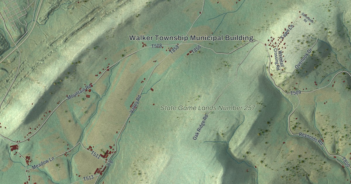
A detailed map of Walker, Schuylkill County, Pennsylvania, showing every building in its true location, the roads by name, and shaded topographical relief.
Read More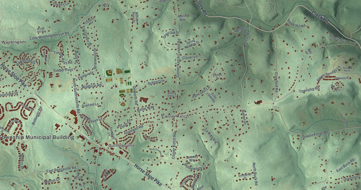
A detailed map of East Brandywine, Pennsylvania, showing every building in its true location, the roads by name, and shaded topographical relief.
Read More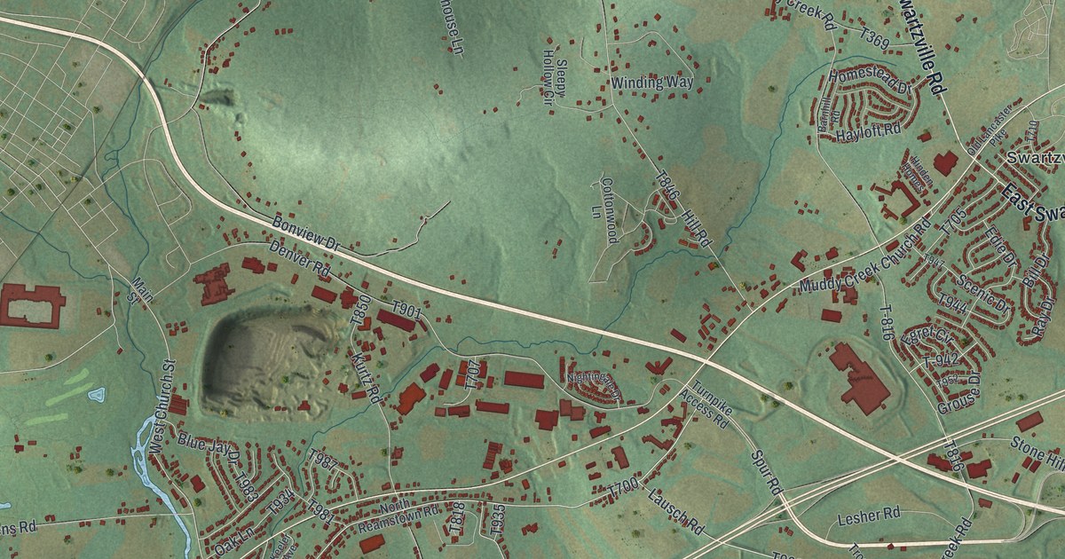
A detailed map of East Cocalico, Pennsylvania, showing every building in its true location, the roads by name, and shaded topographical relief.
Read More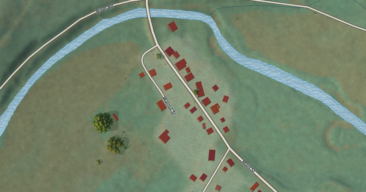
A detailed map of Worthville, Pennsylvania, showing every building in its true location, the roads by name, and shaded topographical relief.
Read More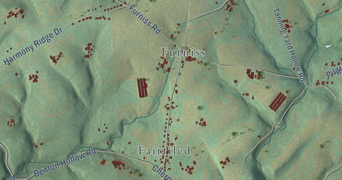
A detailed map of Drumore, Pennsylvania, showing every building in its true location, the roads by name, and shaded topographical relief.
Read More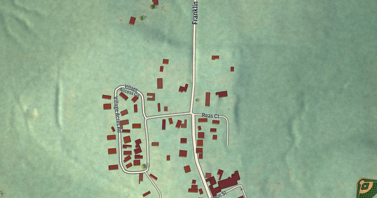
A detailed map of Clintonville, Pennsylvania, showing every building in its true location, the roads by name, and shaded topographical relief.
Read More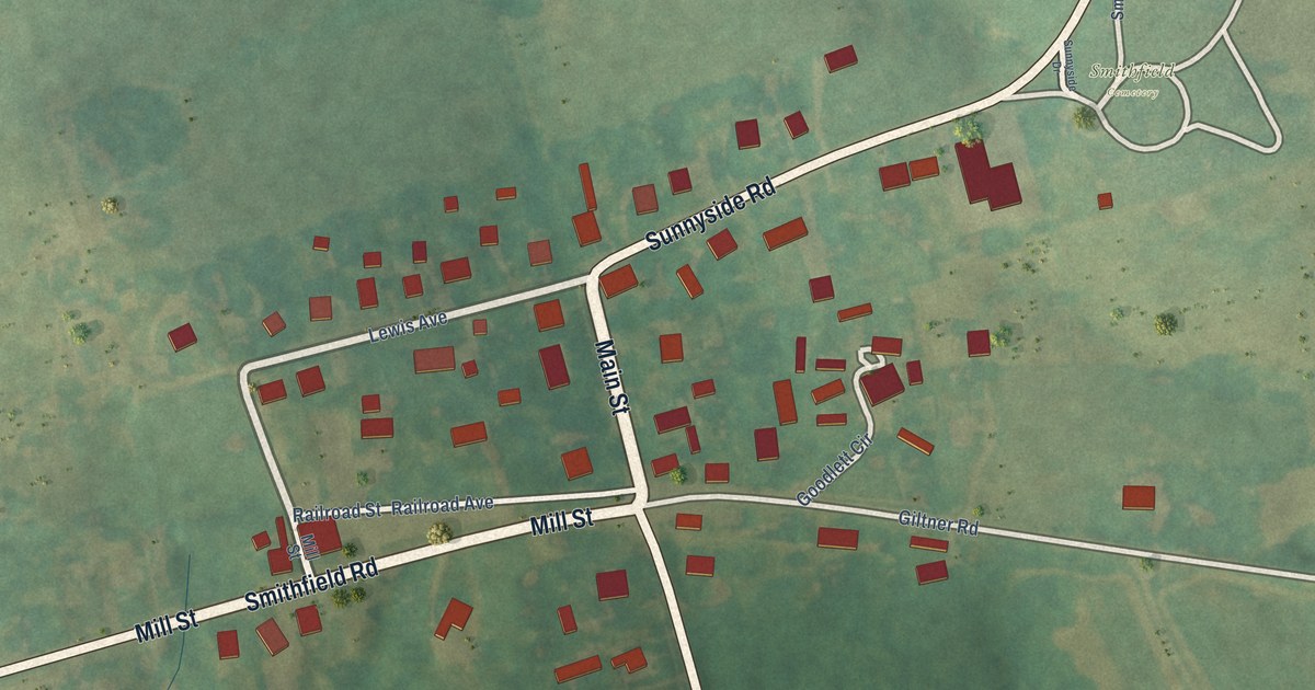
A detailed map of Smithfield, Kentucky, showing every building in its true location, the roads by name, and shaded topographical relief.
Read More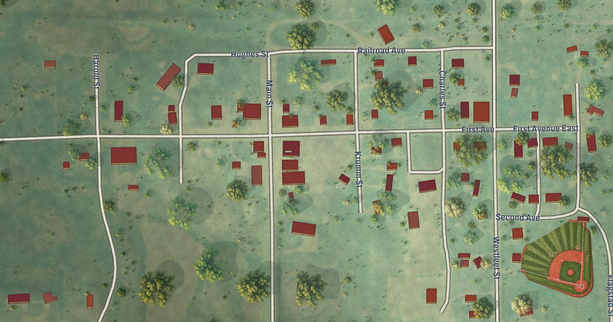
A detailed map of Robinson, North Dakota, showing every building in its true location, the roads by name, and shaded topographical relief.
Read More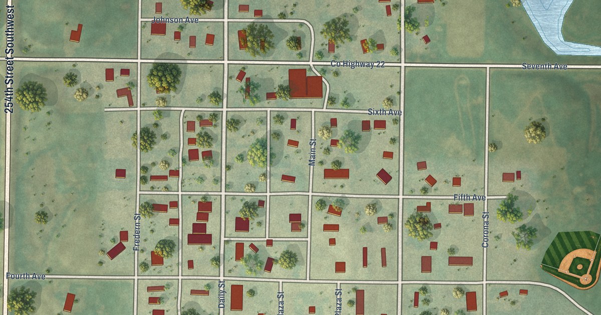
A detailed map of Ryder, North Dakota, showing every building in its true location, the roads by name, and shaded topographical relief.
Read More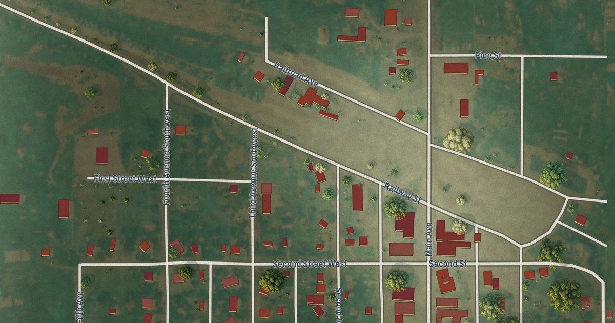
A detailed map of Zeeland, North Dakota, showing every building in its true location, the roads by name, and shaded topographical relief.
Read More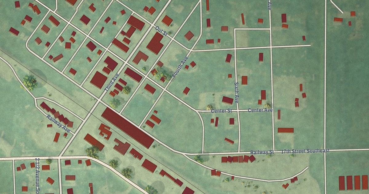
A detailed map of Wimbledon, North Dakota, showing every building in its true location, the roads by name, and shaded topographical relief.
Read More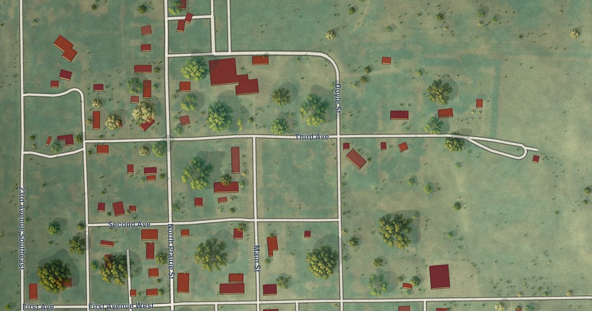
A detailed map of Tuttle, North Dakota, showing every building in its true location, the roads by name, and shaded topographical relief.
Read More















