Detailed Map of Ten Hills, Baltimore, Maryland
A detailed map of Ten Hills, Maryland, showing every building in its true location, the roads by name, and shaded topographical relief.
Read More
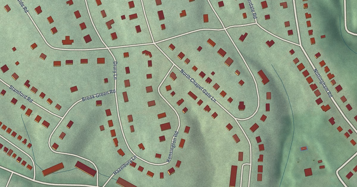
A detailed map of Ten Hills, Maryland, showing every building in its true location, the roads by name, and shaded topographical relief.
Read More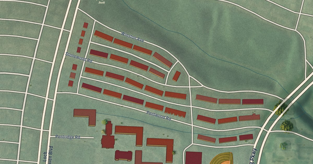
A detailed map of Stonewood-Pentwood-Winston, Maryland, showing every building in its true location, the roads by name, and shaded topographical relief.
Read More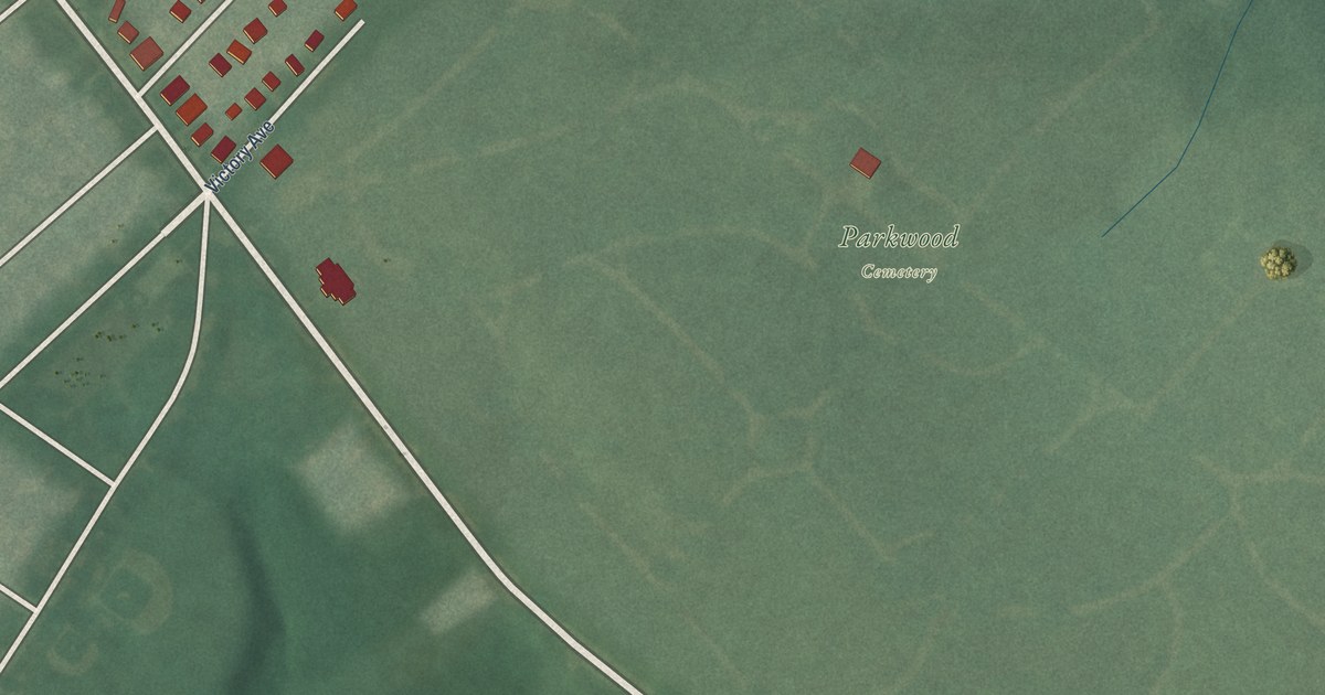
A detailed map of Taylor Heights, Maryland, showing every building in its true location, the roads by name, and shaded topographical relief.
Read More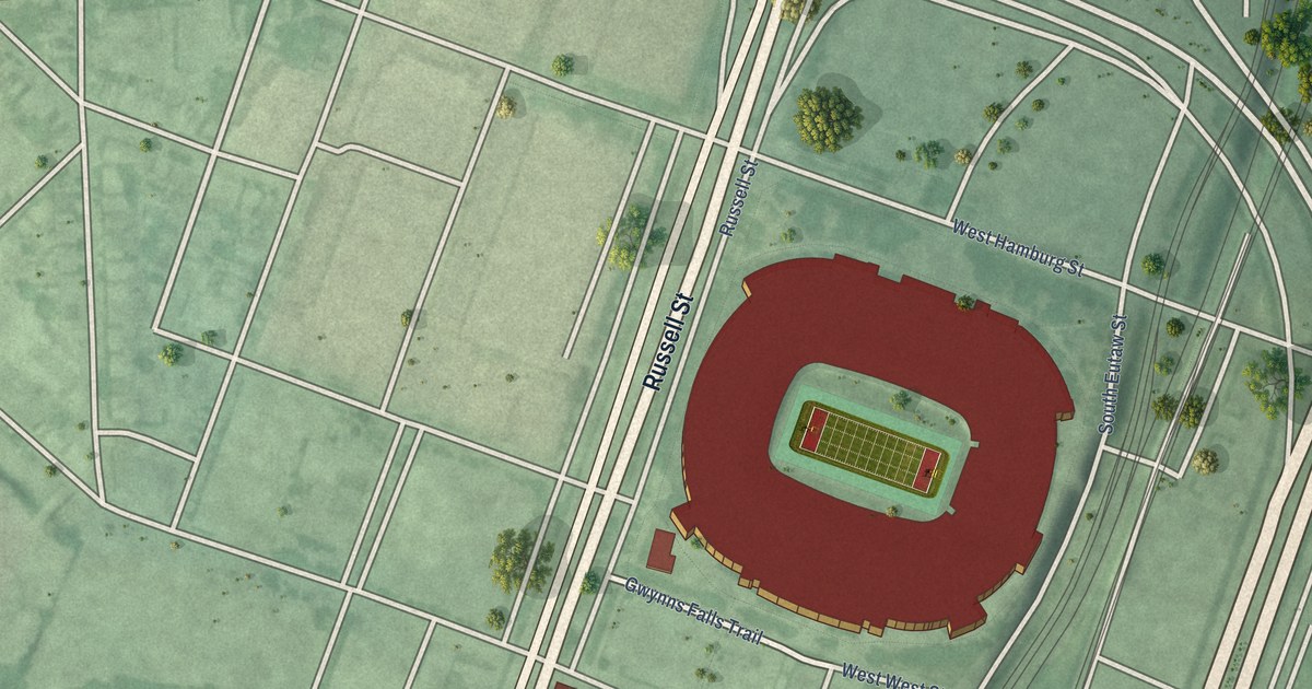
A detailed map of Stadium/Entertainment Area, Maryland, showing every building in its true location, the roads by name, and shaded topographical relief.
Read More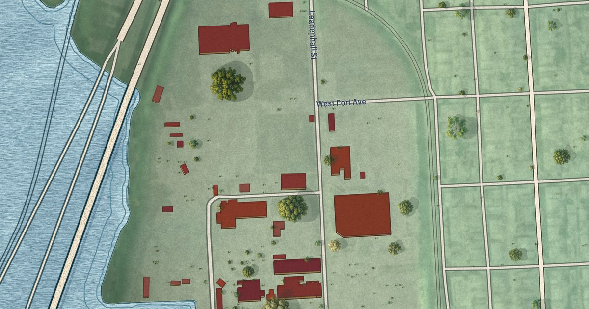
A detailed map of Spring Garden Industrial Area, Maryland, showing every building in its true location, the roads by name, and shaded topographical relief.
Read More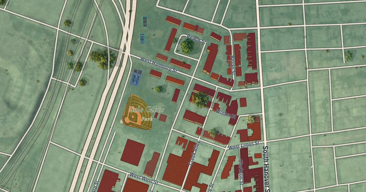
A detailed map of Sharp-Leadenhall, Maryland, showing every building in its true location, the roads by name, and shaded topographical relief.
Read More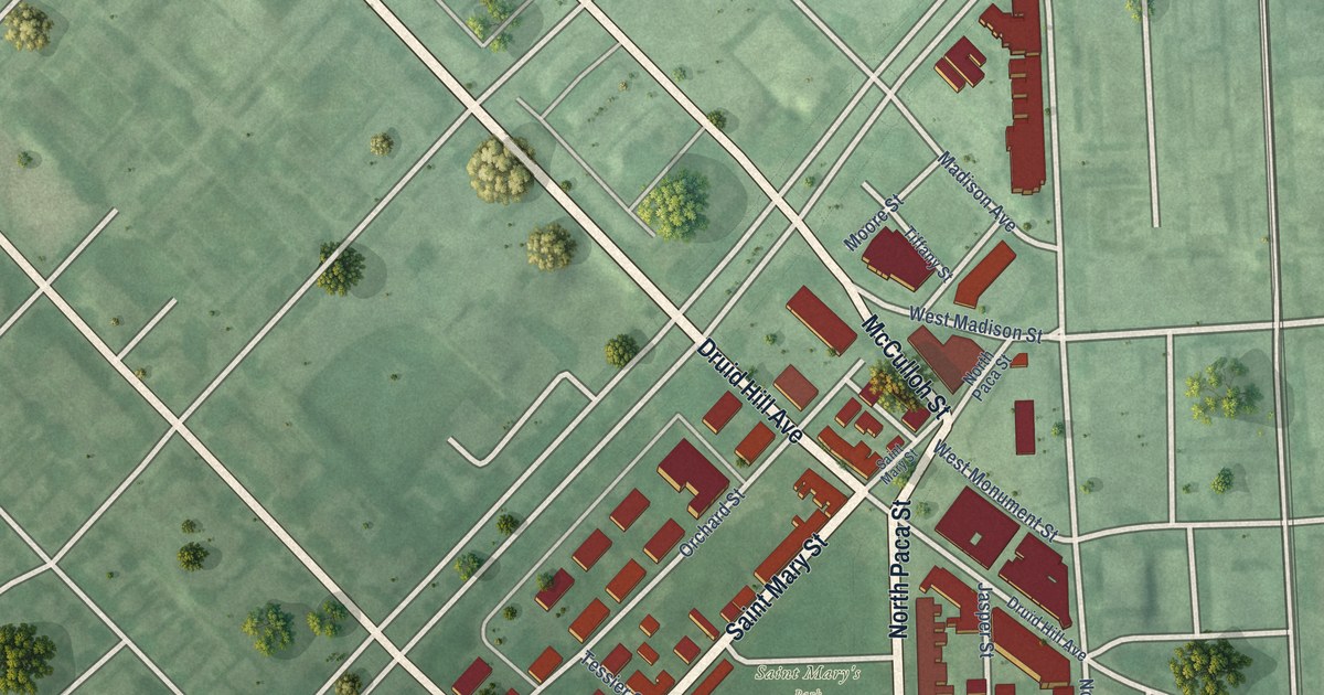
A detailed map of Seton Hill, Maryland, showing every building in its true location, the roads by name, and shaded topographical relief.
Read More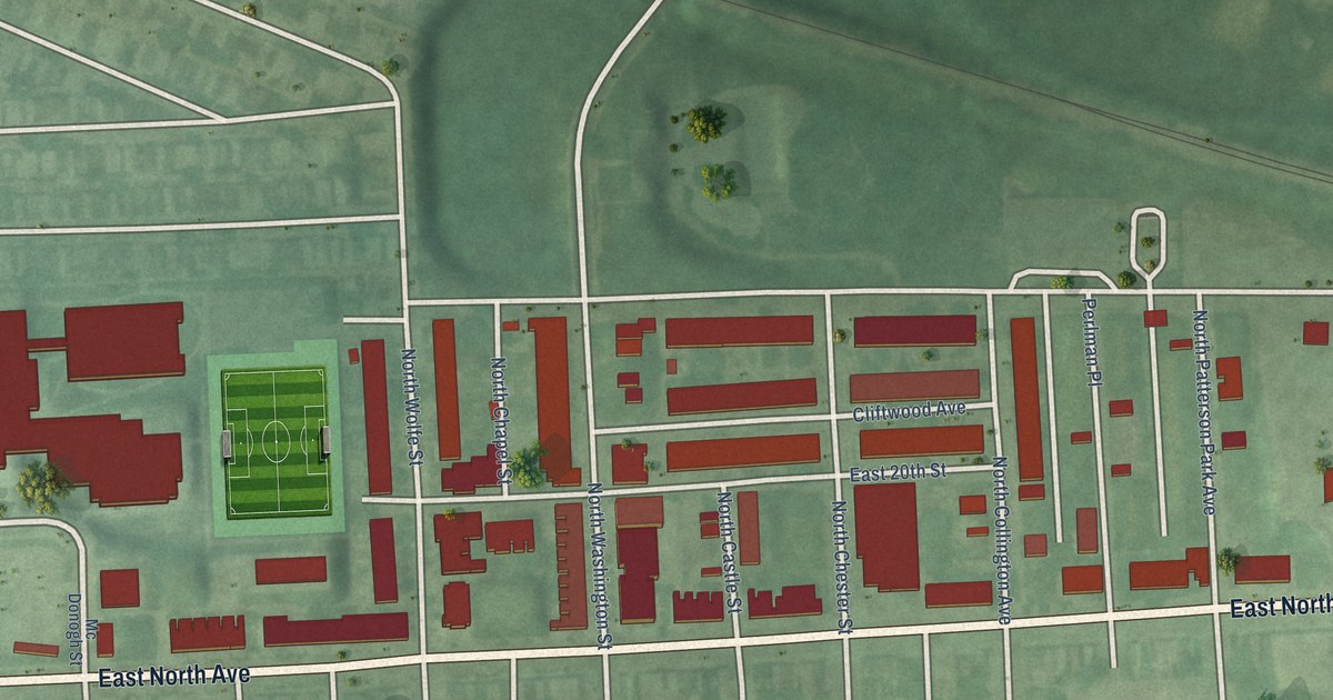
A detailed map of South Clifton Park, Maryland, showing every building in its true location, the roads by name, and shaded topographical relief.
Read More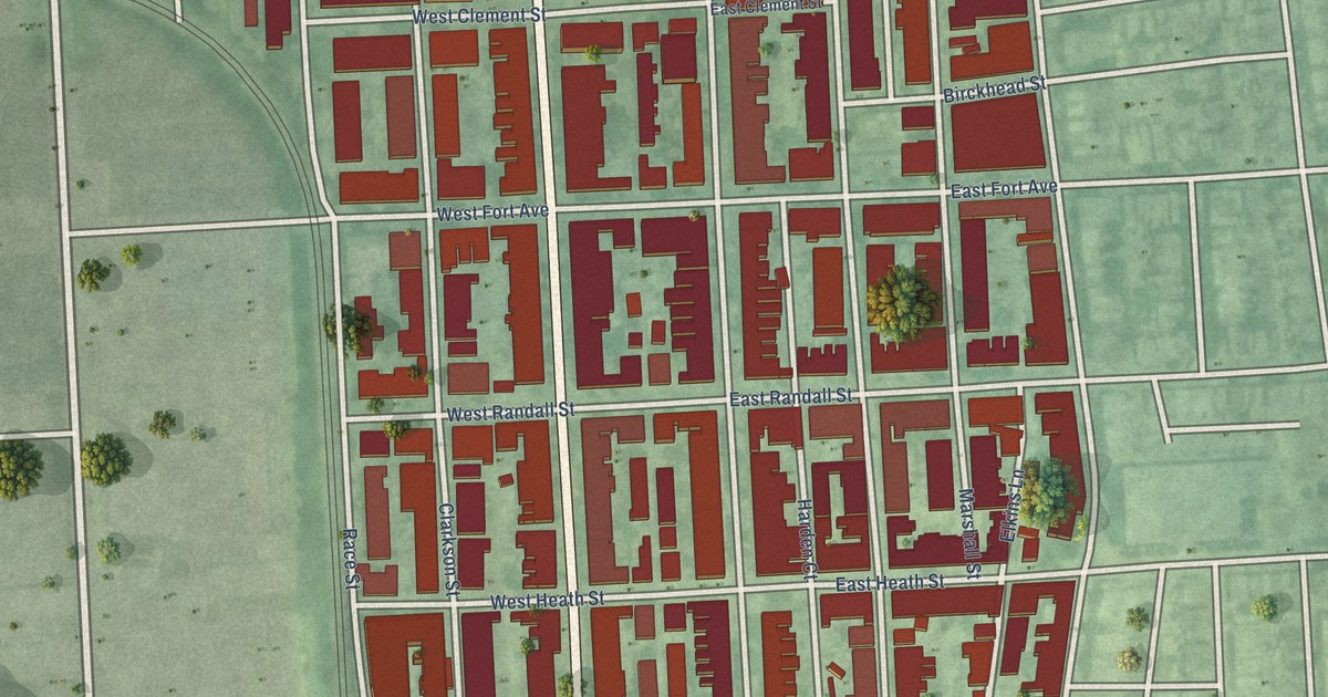
A detailed map of South Baltimore, Maryland, showing every building in its true location, the roads by name, and shaded topographical relief.
Read More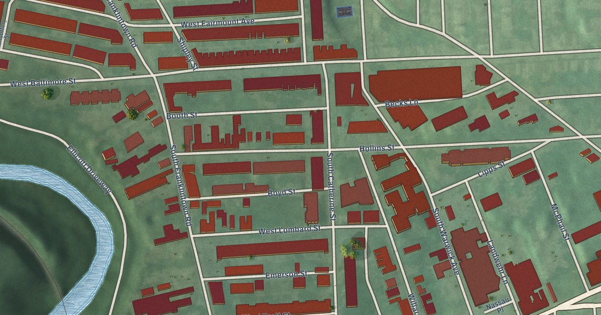
A detailed map of Shipley Hill, Maryland, showing every building in its true location, the roads by name, and shaded topographical relief.
Read More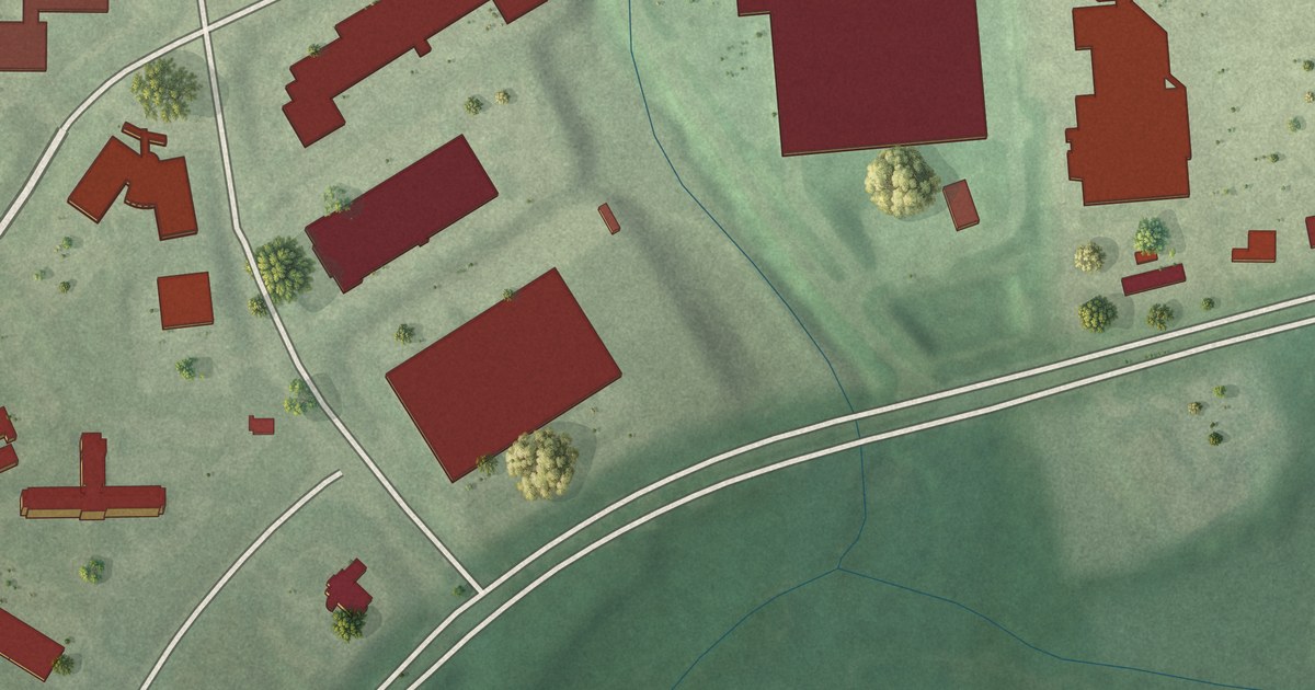
A detailed map of Seton Business Park, Maryland, showing every building in its true location, the roads by name, and shaded topographical relief.
Read More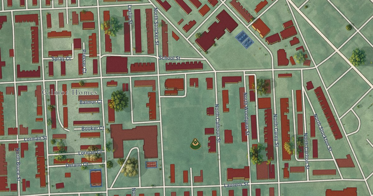
A detailed map of Sandtown-Winchester, Maryland, showing every building in its true location, the roads by name, and shaded topographical relief.
Read More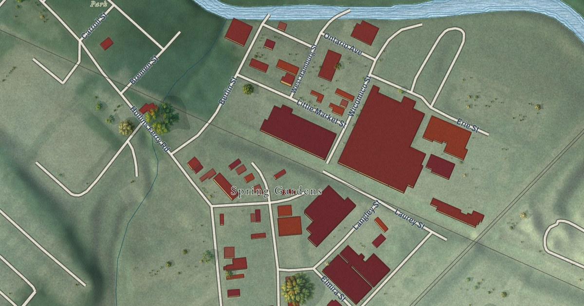
A detailed map of Saint Paul, Maryland, showing every building in its true location, the roads by name, and shaded topographical relief.
Read More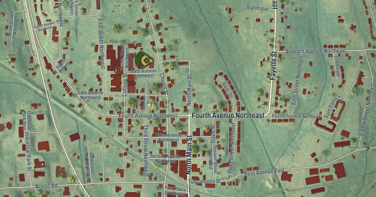
A detailed map of Gordo, Alabama, showing every building in its true location, the roads by name, and shaded topographical relief.
Read More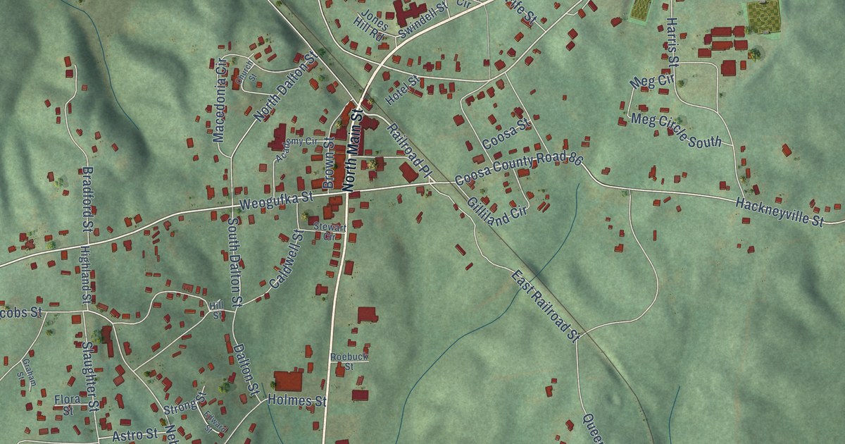
A detailed map of Goodwater, Alabama, showing every building in its true location, the roads by name, and shaded topographical relief.
Read More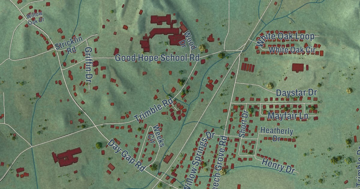
A detailed map of Good Hope, Alabama, showing every building in its true location, the roads by name, and shaded topographical relief.
Read More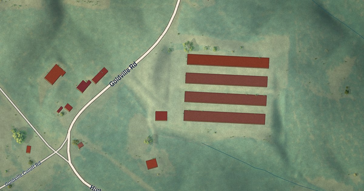
A detailed map of Goldville, Alabama, showing every building in its true location, the roads by name, and shaded topographical relief.
Read More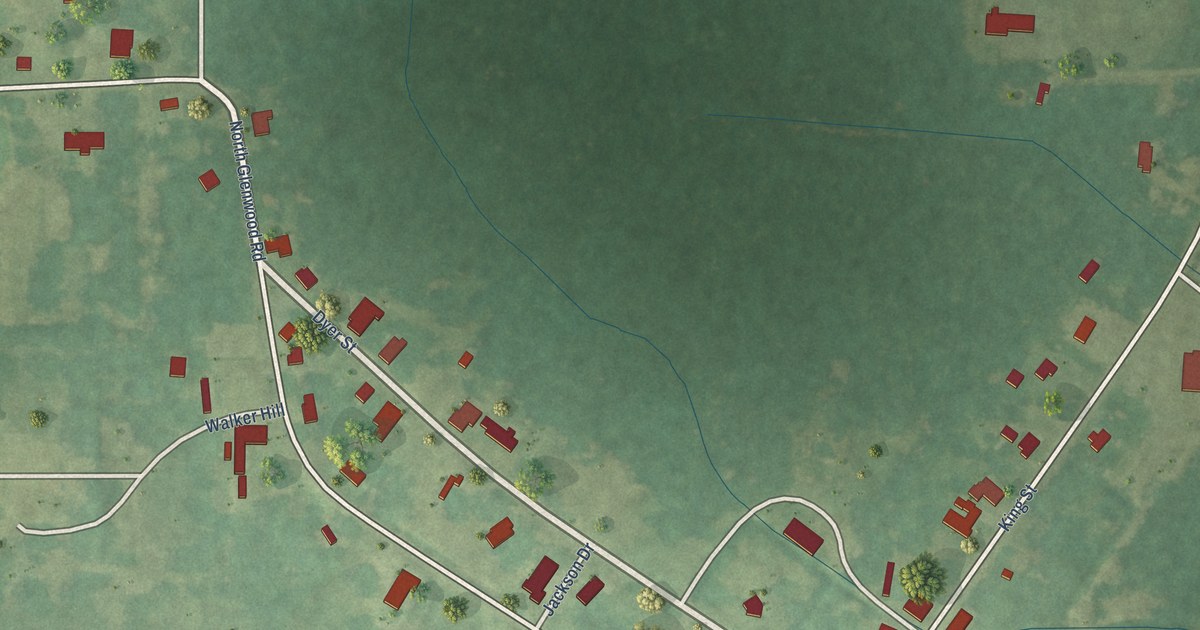
A detailed map of Glenwood, Alabama, showing every building in its true location, the roads by name, and shaded topographical relief.
Read More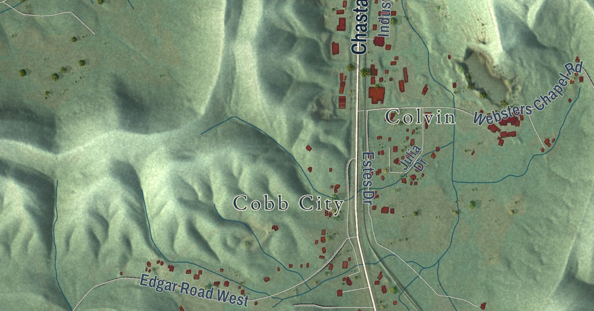
A detailed map of Glencoe, Alabama, showing every building in its true location, the roads by name, and shaded topographical relief.
Read More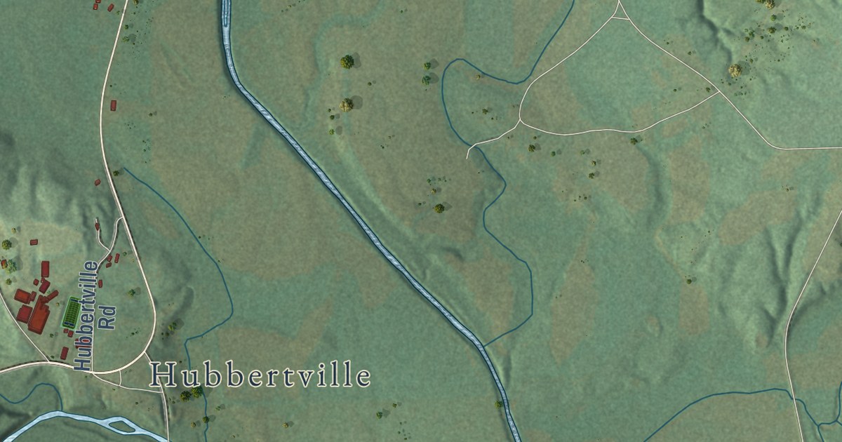
A detailed map of Glen Allen, Alabama, showing every building in its true location, the roads by name, and shaded topographical relief.
Read More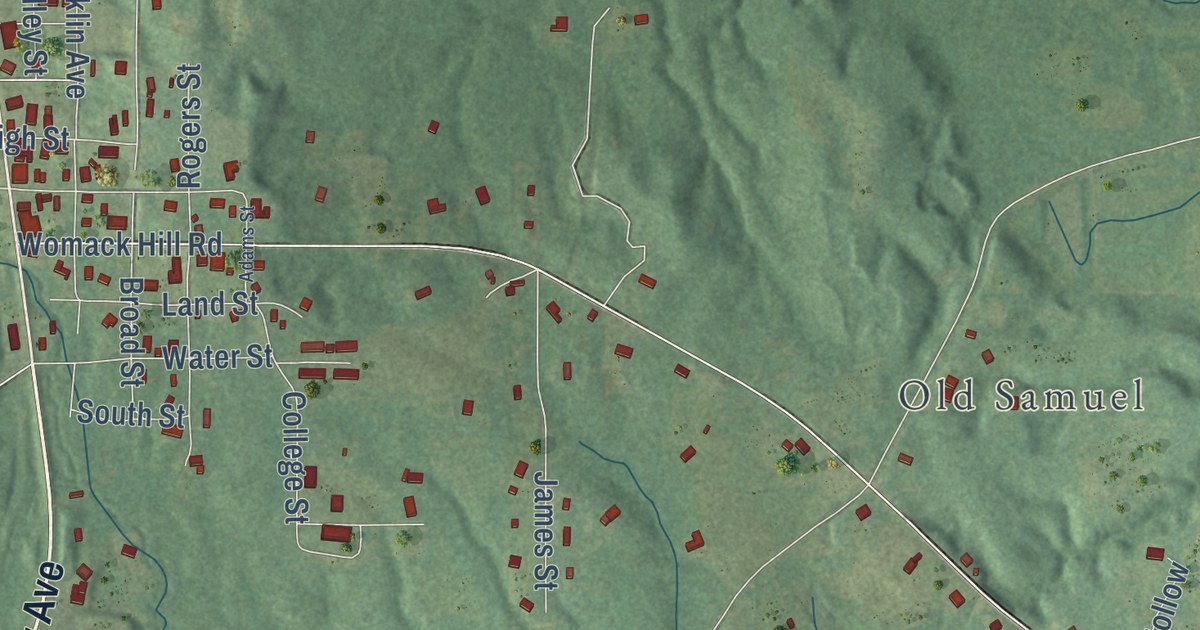
A detailed map of Gilbertown, Alabama, showing every building in its true location, the roads by name, and shaded topographical relief.
Read More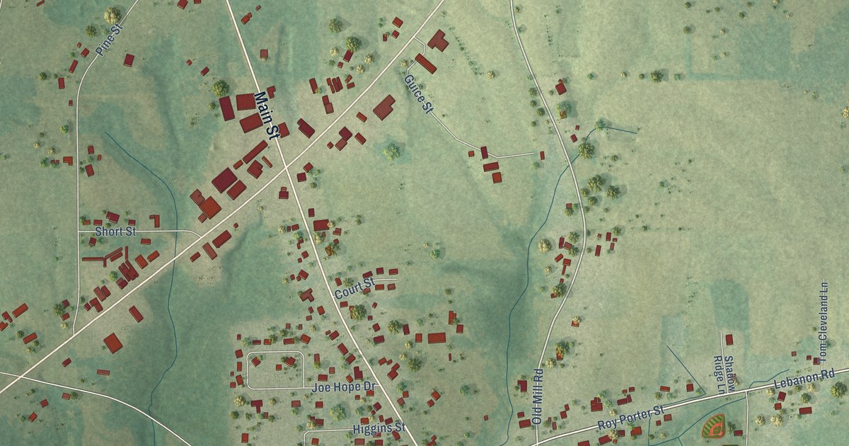
A detailed map of Geraldine, Alabama, showing every building in its true location, the roads by name, and shaded topographical relief.
Read More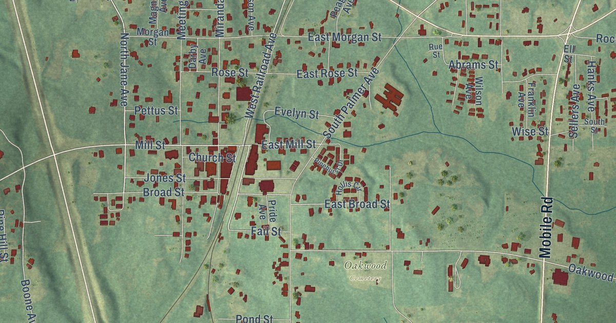
A detailed map of Georgiana, Alabama, showing every building in its true location, the roads by name, and shaded topographical relief.
Read More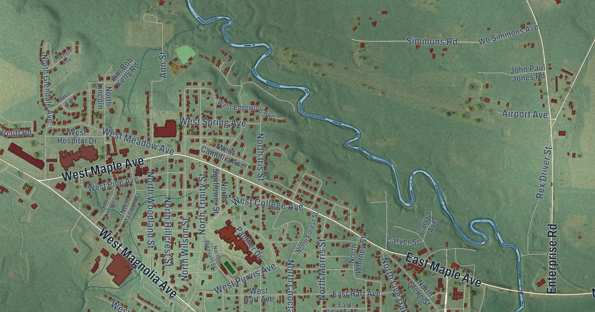
A detailed map of Geneva, Alabama, showing every building in its true location, the roads by name, and shaded topographical relief.
Read More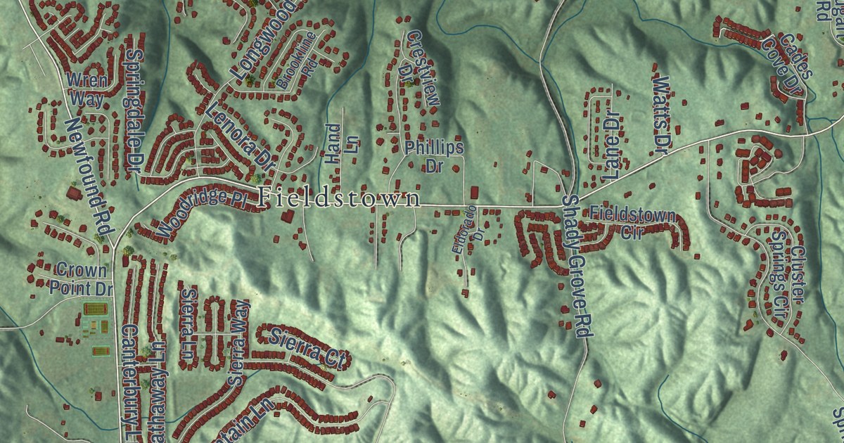
A detailed map of Gardendale, Alabama, showing every building in its true location, the roads by name, and shaded topographical relief.
Read More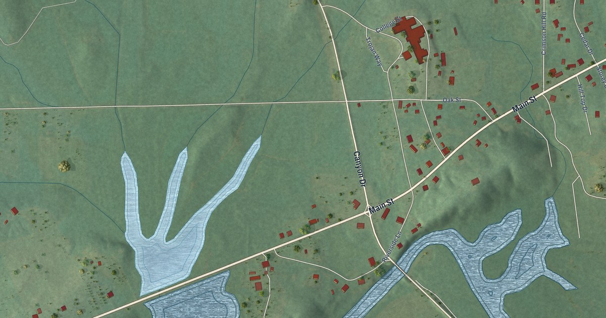
A detailed map of Gaylesville, Alabama, showing every building in its true location, the roads by name, and shaded topographical relief.
Read More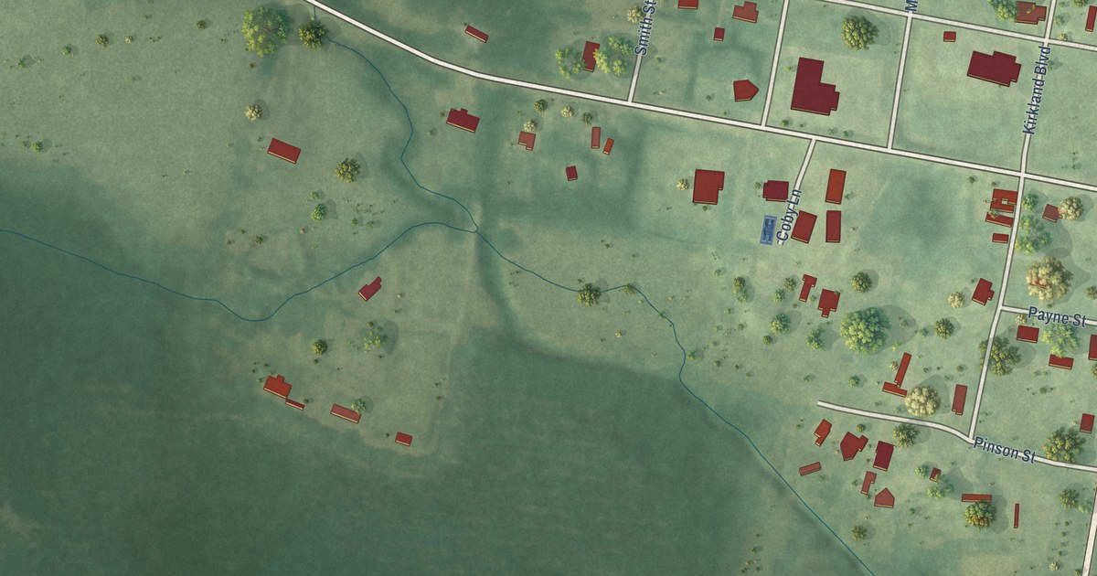
A detailed map of Geiger, Alabama, showing every building in its true location, the roads by name, and shaded topographical relief.
Read More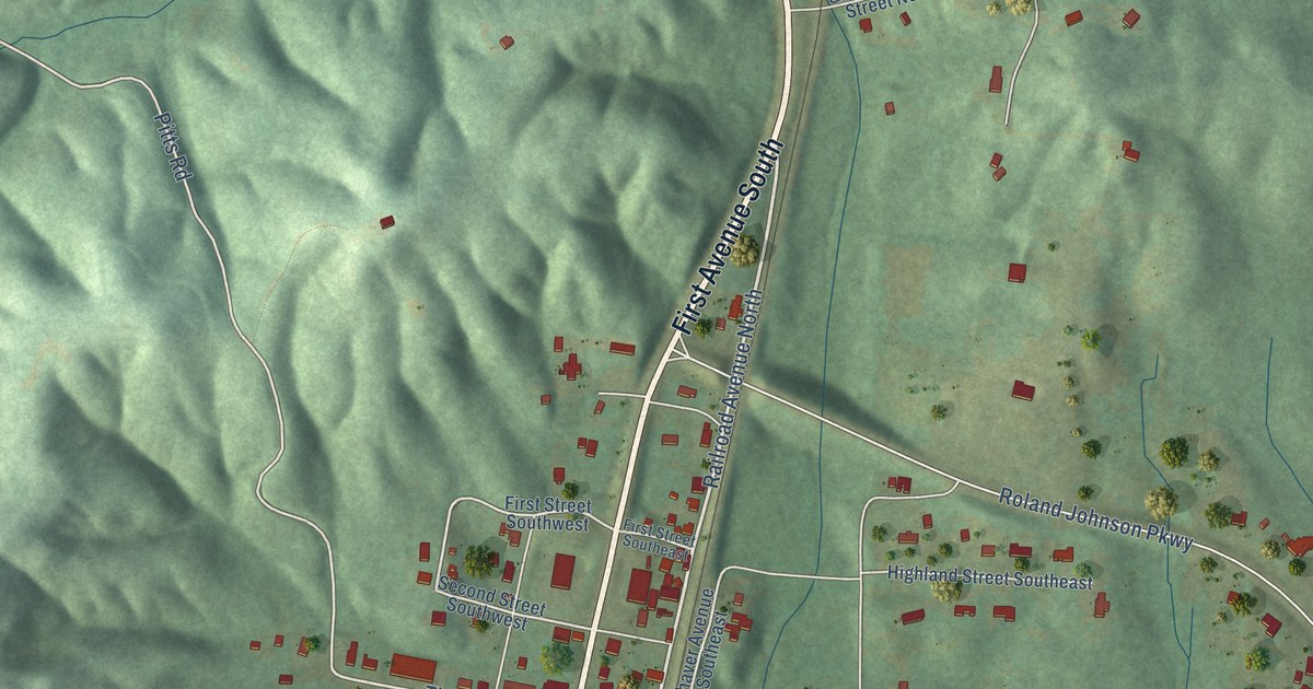
A detailed map of Garden City, Alabama, showing every building in its true location, the roads by name, and shaded topographical relief.
Read More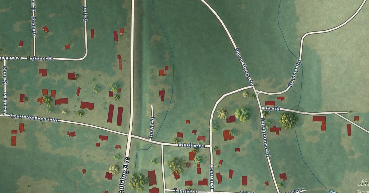
A detailed map of Gantt, Alabama, showing every building in its true location, the roads by name, and shaded topographical relief.
Read More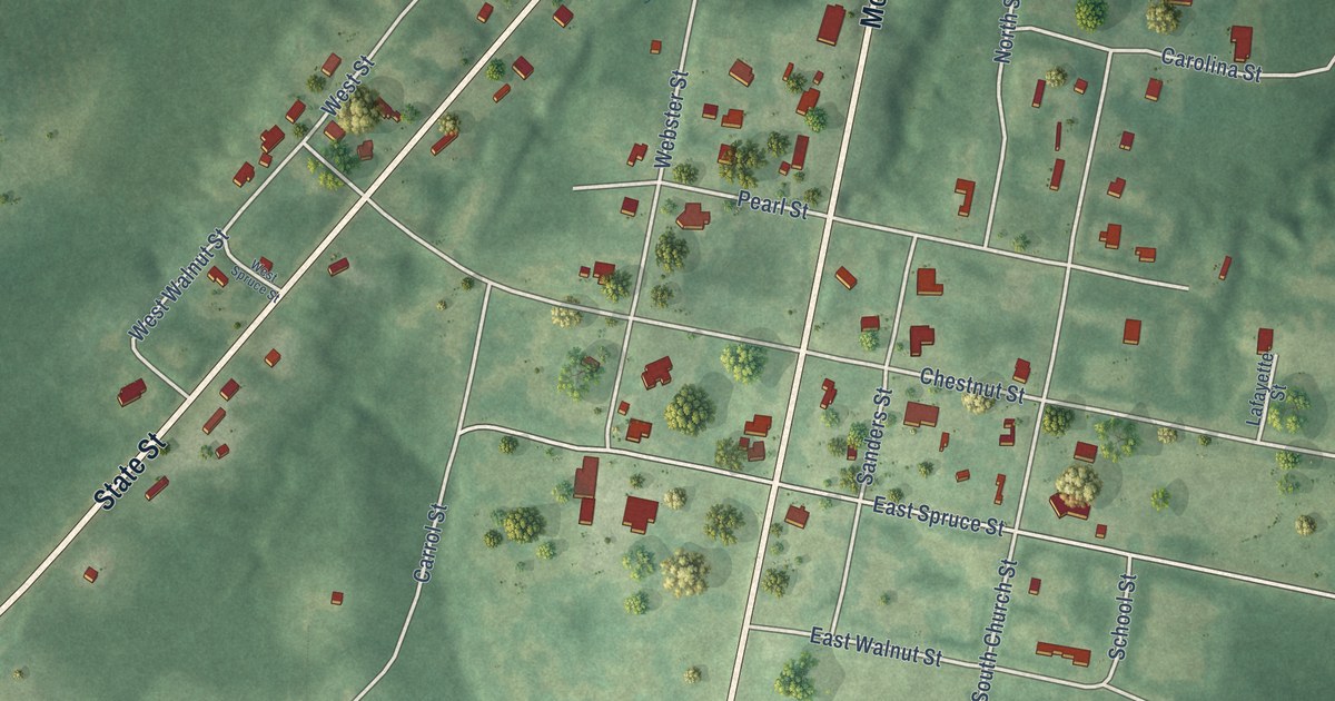
A detailed map of Gainesville, Alabama, showing every building in its true location, the roads by name, and shaded topographical relief.
Read More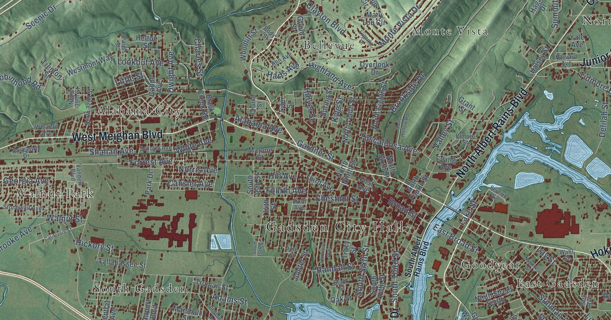
A detailed map of Gadsden, Alabama, showing every building in its true location, the roads by name, and shaded topographical relief.
Read More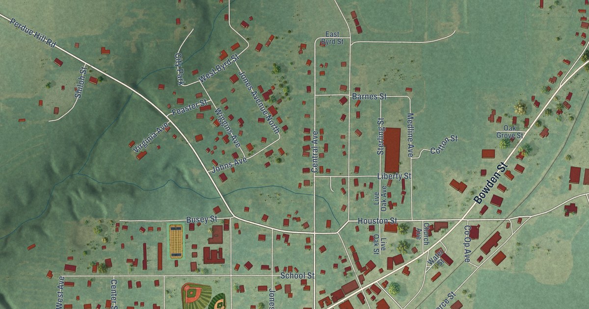
A detailed map of Frisco City, Alabama, showing every building in its true location, the roads by name, and shaded topographical relief.
Read More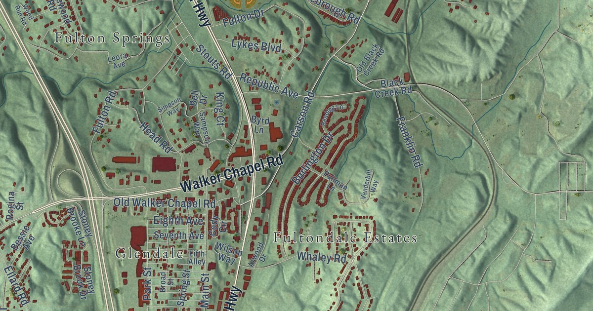
A detailed map of Fultondale, Alabama, showing every building in its true location, the roads by name, and shaded topographical relief.
Read More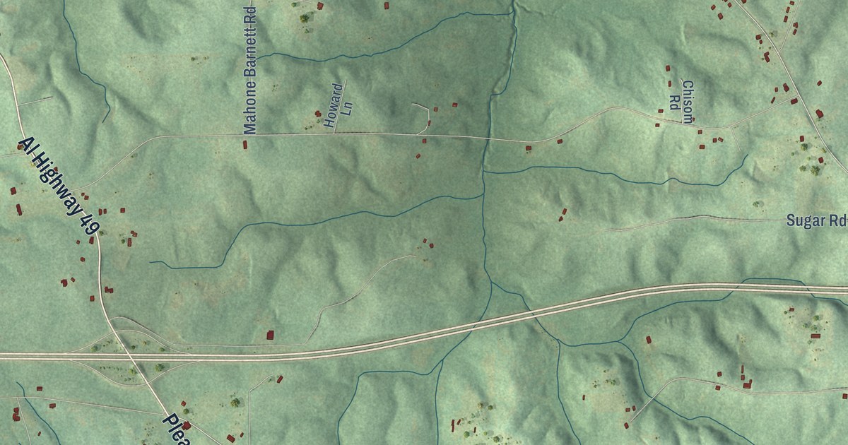
A detailed map of Franklin, Alabama, showing every building in its true location, the roads by name, and shaded topographical relief.
Read More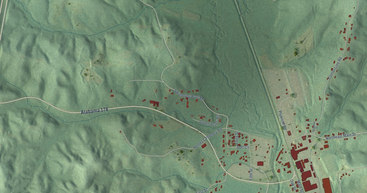
A detailed map of Fulton, Alabama, showing every building in its true location, the roads by name, and shaded topographical relief.
Read More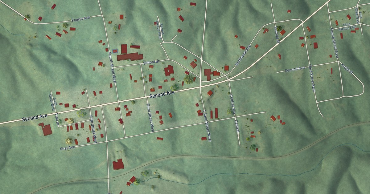
A detailed map of Fruithurst, Alabama, showing every building in its true location, the roads by name, and shaded topographical relief.
Read More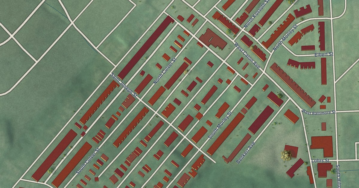
A detailed map of Saint Josephs, Maryland, showing every building in its true location, the roads by name, and shaded topographical relief.
Read More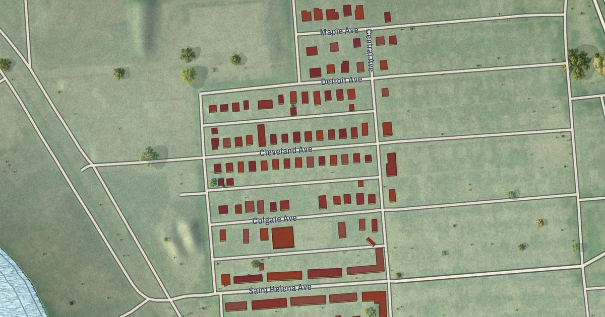
A detailed map of Saint Helena, Maryland, showing every building in its true location, the roads by name, and shaded topographical relief.
Read More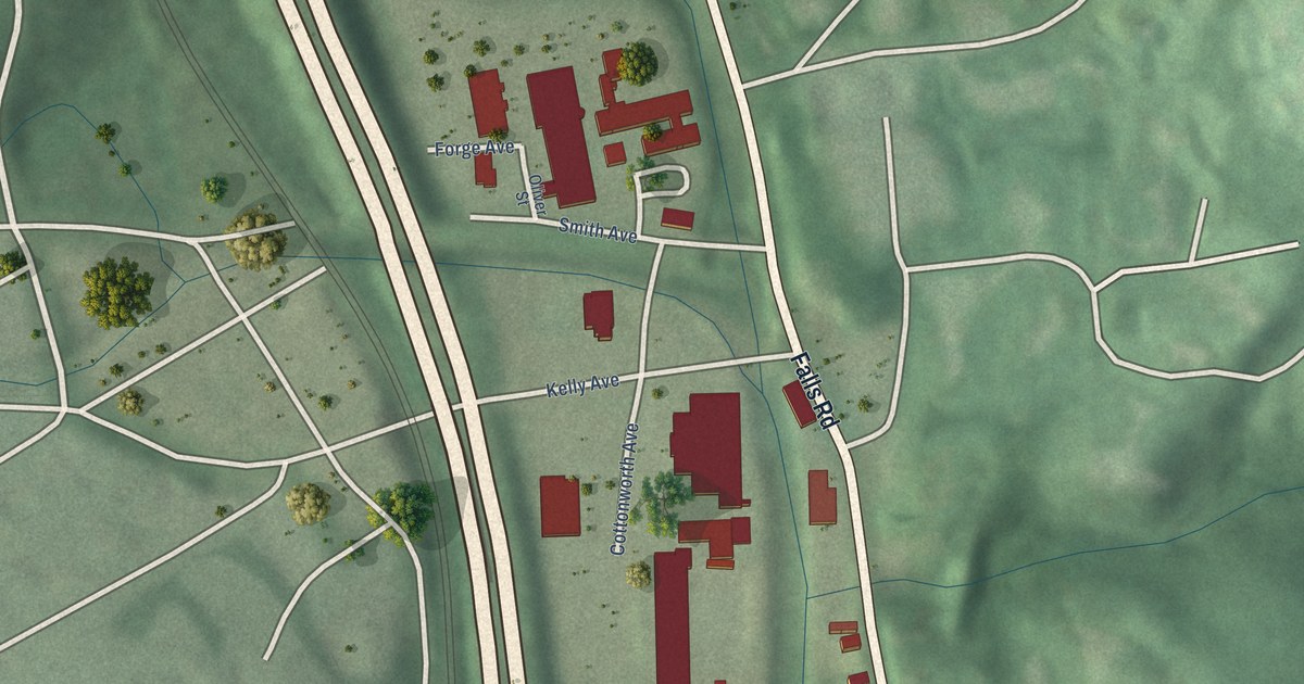
A detailed map of Sabina-Mattfeldt, Maryland, showing every building in its true location, the roads by name, and shaded topographical relief.
Read More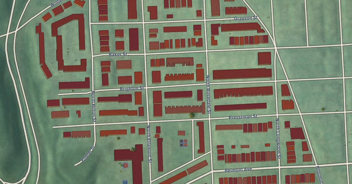
A detailed map of Rosemont, Maryland, showing every building in its true location, the roads by name, and shaded topographical relief.
Read More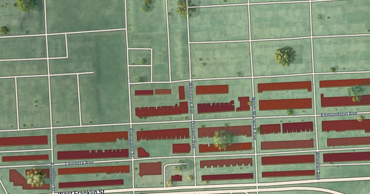
A detailed map of Rosemont Homeowners/Tenants, Maryland, showing every building in its true location, the roads by name, and shaded topographical relief.
Read More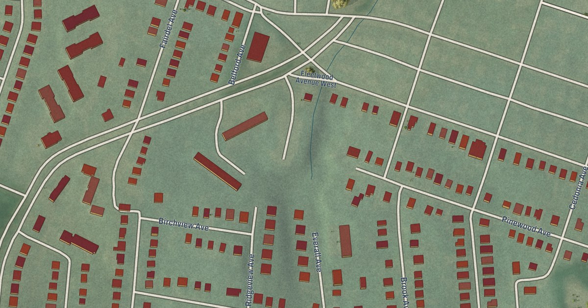
A detailed map of Rosemont East, Maryland, showing every building in its true location, the roads by name, and shaded topographical relief.
Read More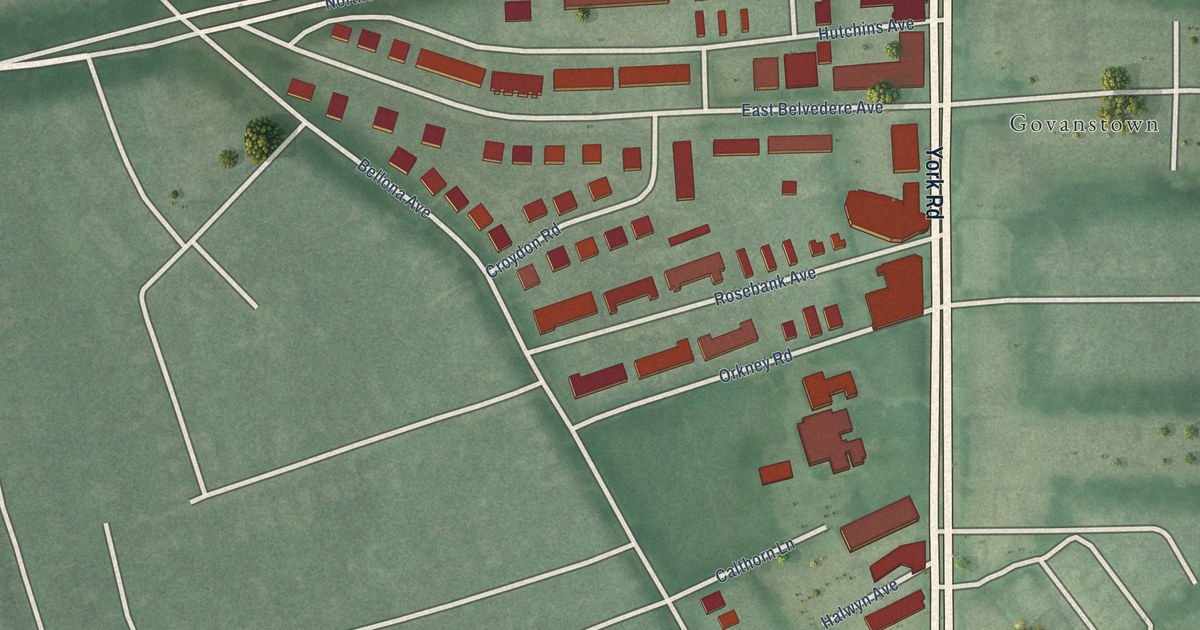
A detailed map of Rosebank, Maryland, showing every building in its true location, the roads by name, and shaded topographical relief.
Read More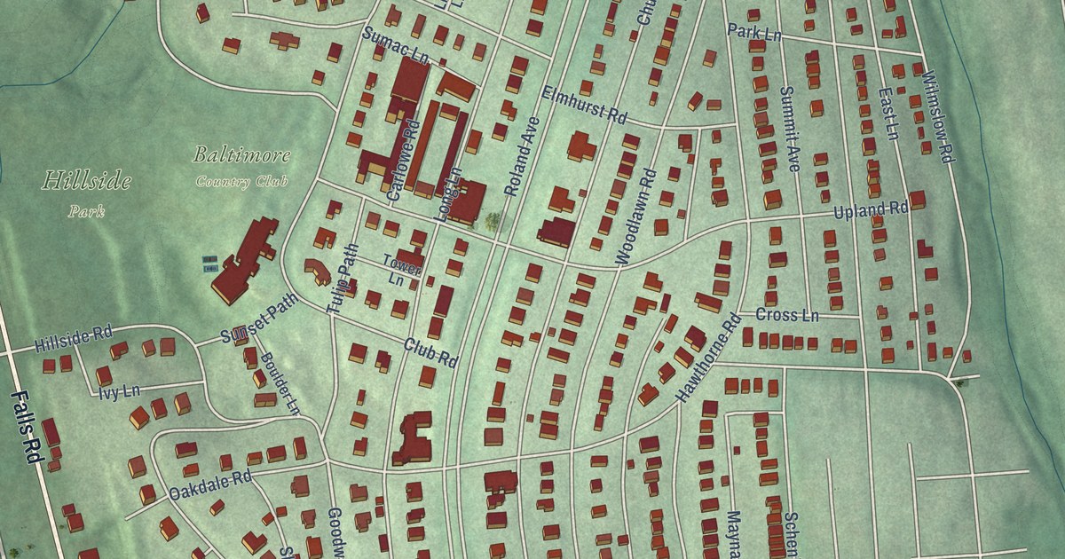
A detailed map of Roland Park, Maryland, showing every building in its true location, the roads by name, and shaded topographical relief.
Read More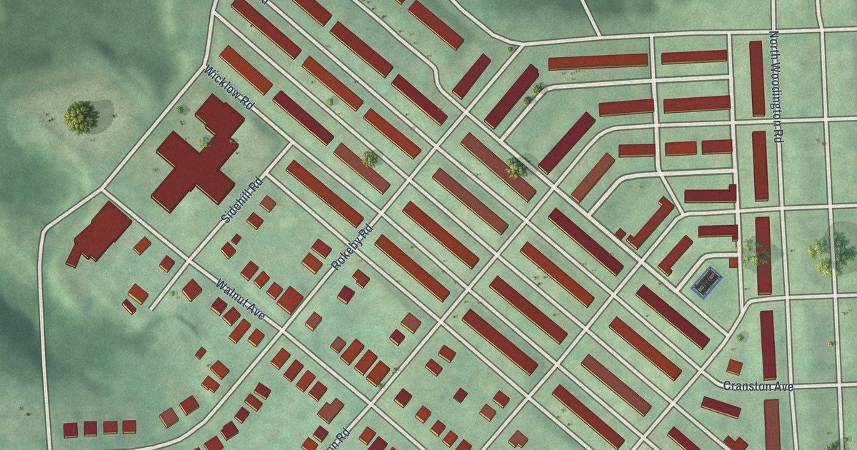
A detailed map of Rognel Heights, Maryland, showing every building in its true location, the roads by name, and shaded topographical relief.
Read More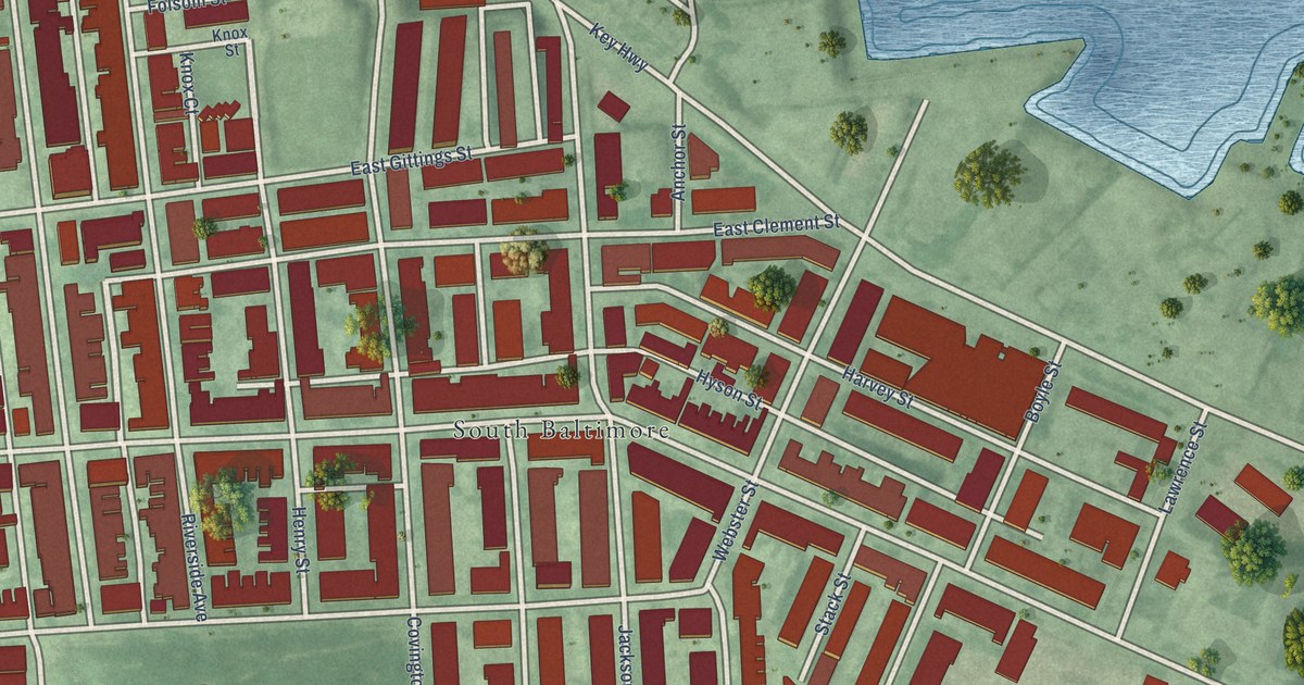
A detailed map of Riverside, Maryland, showing every building in its true location, the roads by name, and shaded topographical relief.
Read More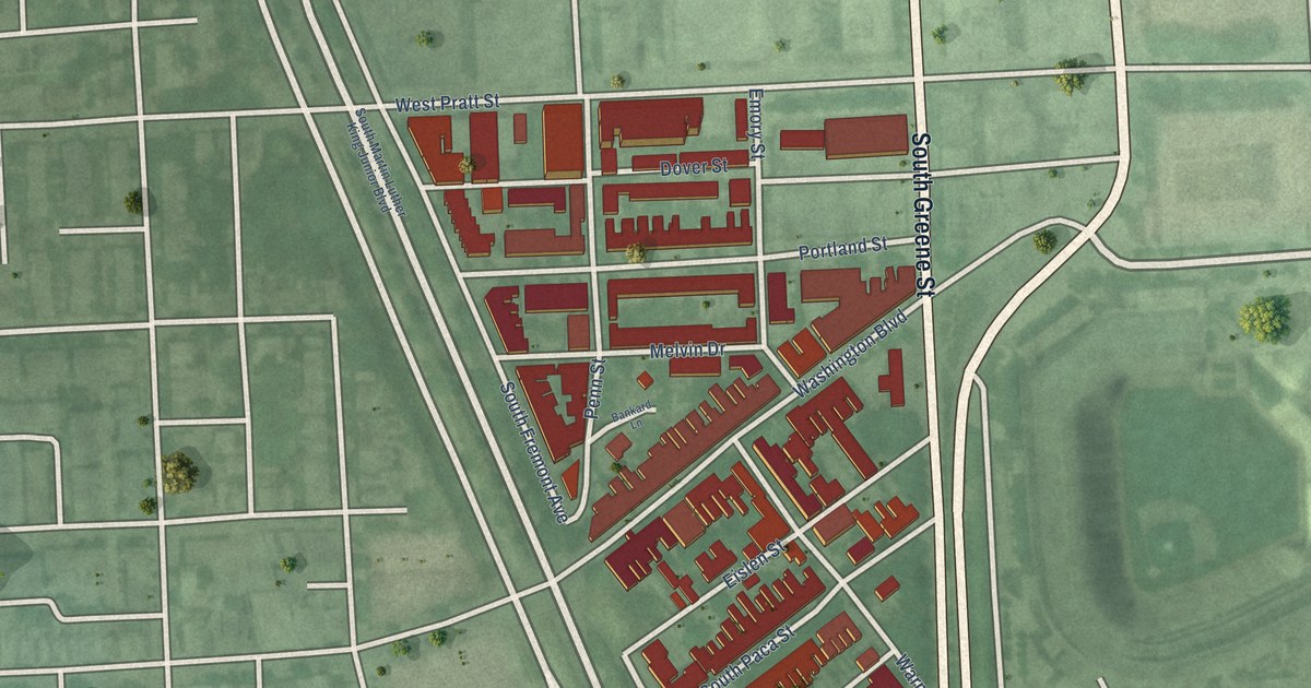
A detailed map of Ridgely’s Delight, Maryland, showing every building in its true location, the roads by name, and shaded topographical relief.
Read More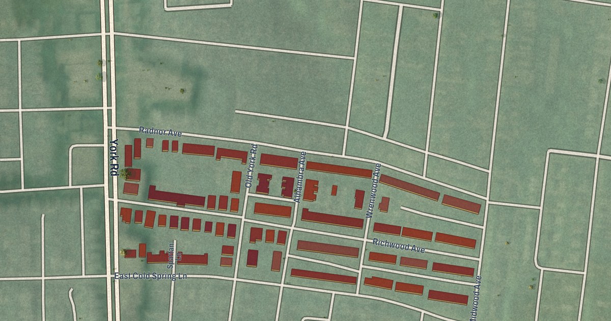
A detailed map of Richnor Springs, Maryland, showing every building in its true location, the roads by name, and shaded topographical relief.
Read More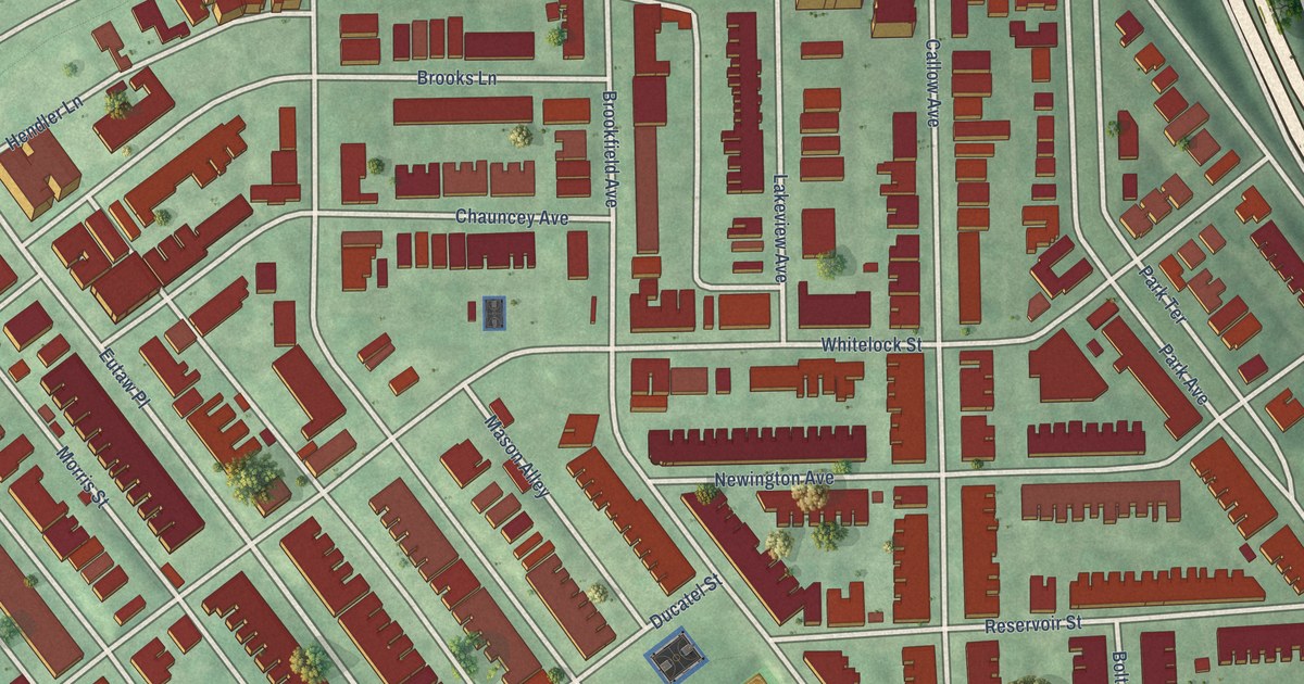
A detailed map of Reservoir Hill, Maryland, showing every building in its true location, the roads by name, and shaded topographical relief.
Read More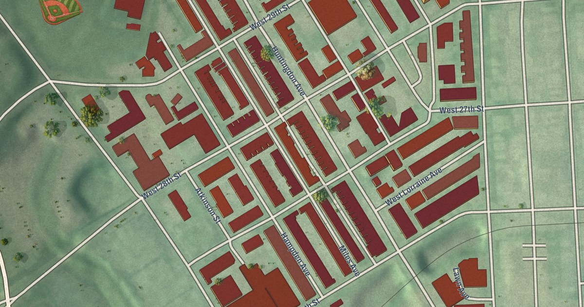
A detailed map of Remington, Maryland, showing every building in its true location, the roads by name, and shaded topographical relief.
Read More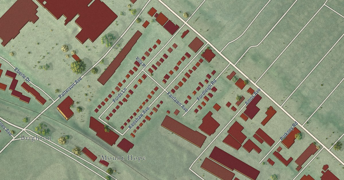
A detailed map of Reisterstown Station, Maryland, showing every building in its true location, the roads by name, and shaded topographical relief.
Read More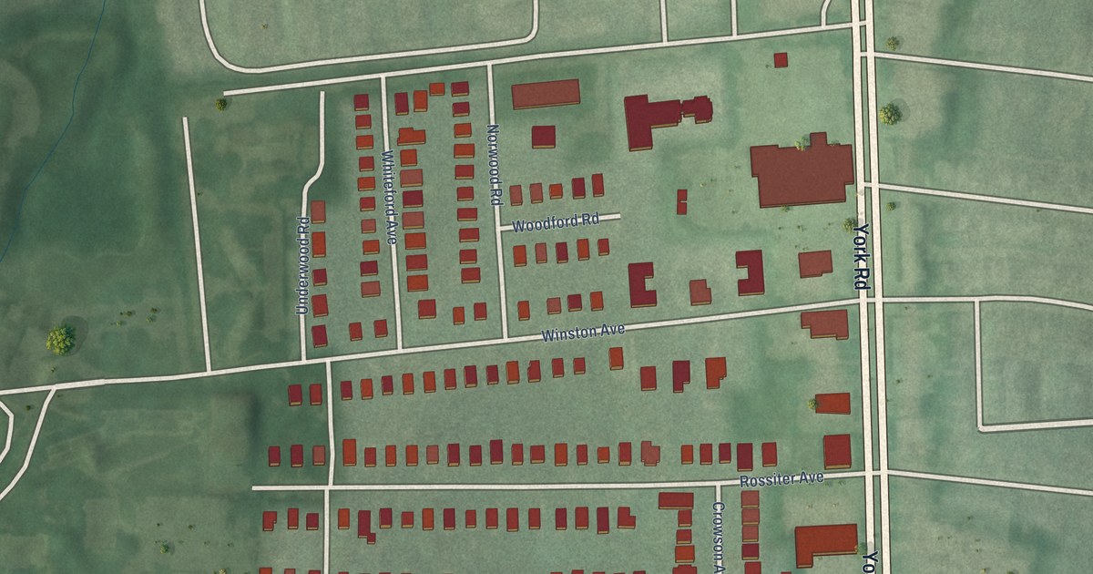
A detailed map of Radnor-Winston, Maryland, showing every building in its true location, the roads by name, and shaded topographical relief.
Read More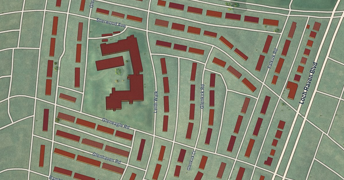
A detailed map of Ramblewood, Maryland, showing every building in its true location, the roads by name, and shaded topographical relief.
Read More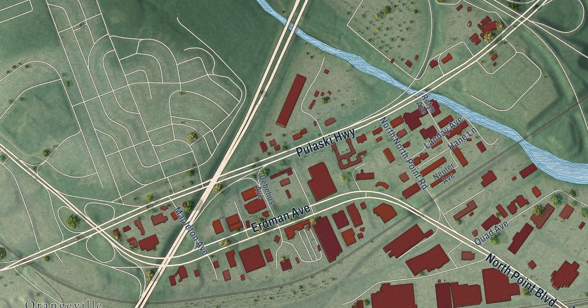
A detailed map of Pulaski Industrial Area, Maryland, showing every building in its true location, the roads by name, and shaded topographical relief.
Read More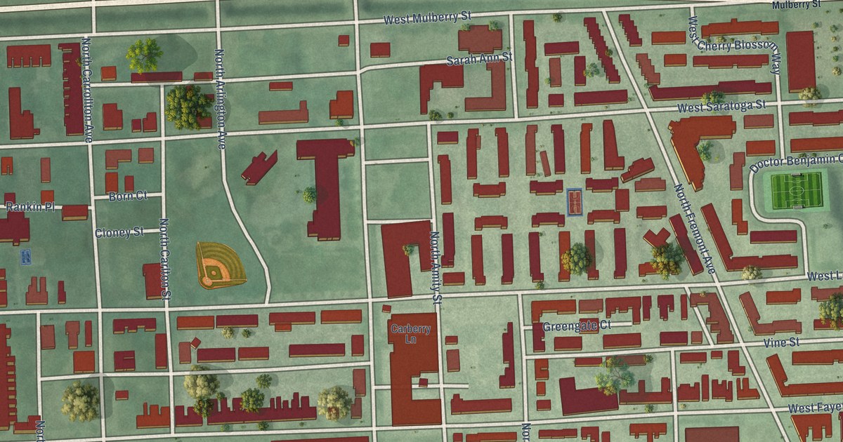
A detailed map of Poppleton, Maryland, showing every building in its true location, the roads by name, and shaded topographical relief.
Read More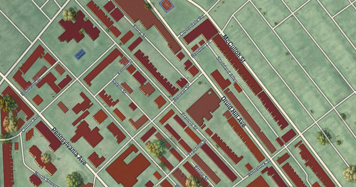
A detailed map of Penn North, Maryland, showing every building in its true location, the roads by name, and shaded topographical relief.
Read More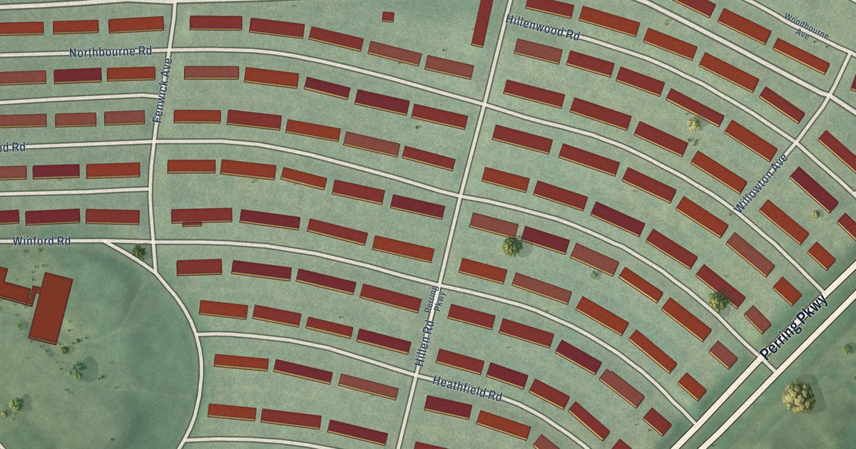
A detailed map of Perring Loch, Maryland, showing every building in its true location, the roads by name, and shaded topographical relief.
Read More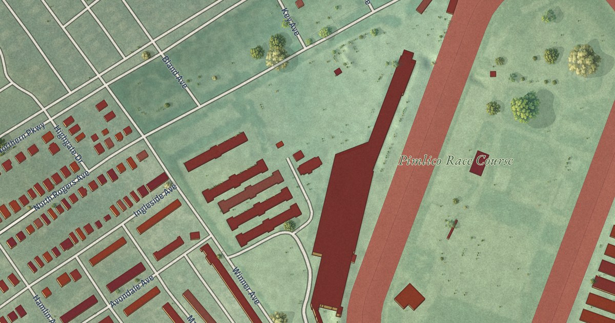
A detailed map of Pimlico Good Neighbors, Maryland, showing every building in its true location, the roads by name, and shaded topographical relief.
Read More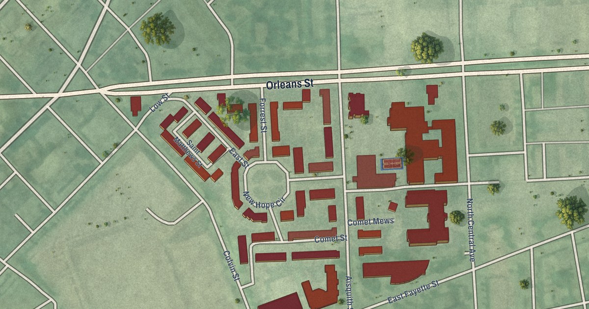
A detailed map of Pleasant View Gardens, Maryland, showing every building in its true location, the roads by name, and shaded topographical relief.
Read More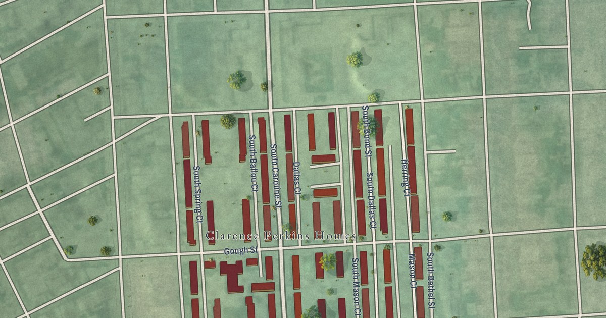
A detailed map of Perkins, Maryland, showing every building in its true location, the roads by name, and shaded topographical relief.
Read More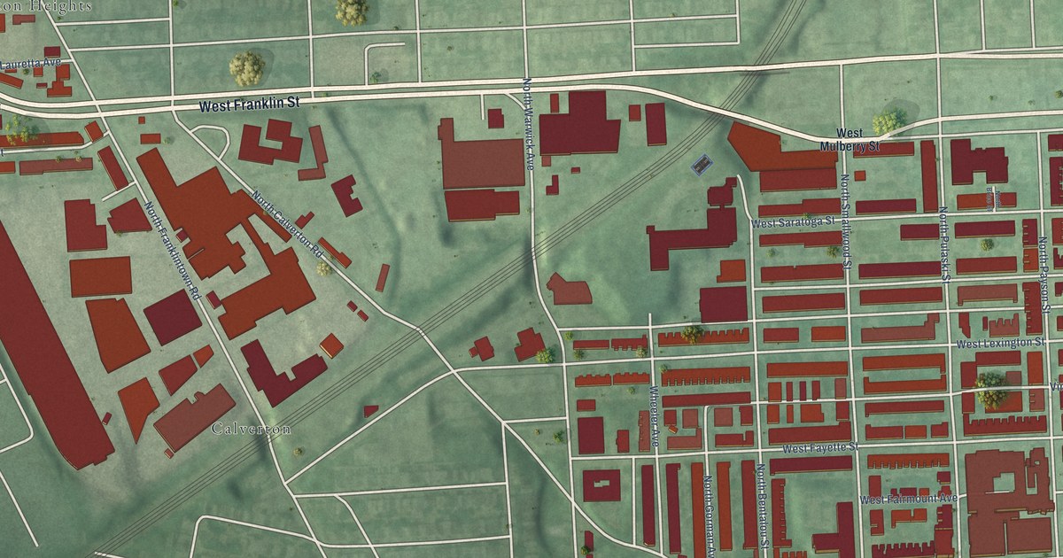
A detailed map of Penrose/Fayette Street Outreach, Maryland, showing every building in its true location, the roads by name, and shaded topographical relief.
Read More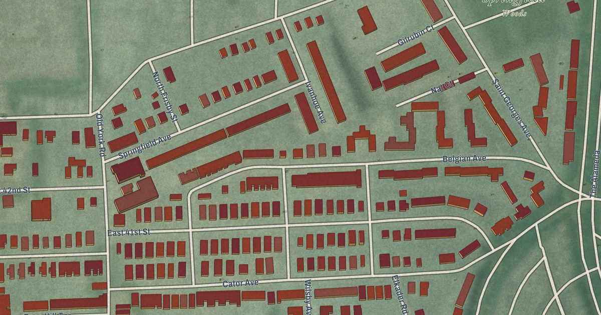
A detailed map of Pen Lucy, Maryland, showing every building in its true location, the roads by name, and shaded topographical relief.
Read More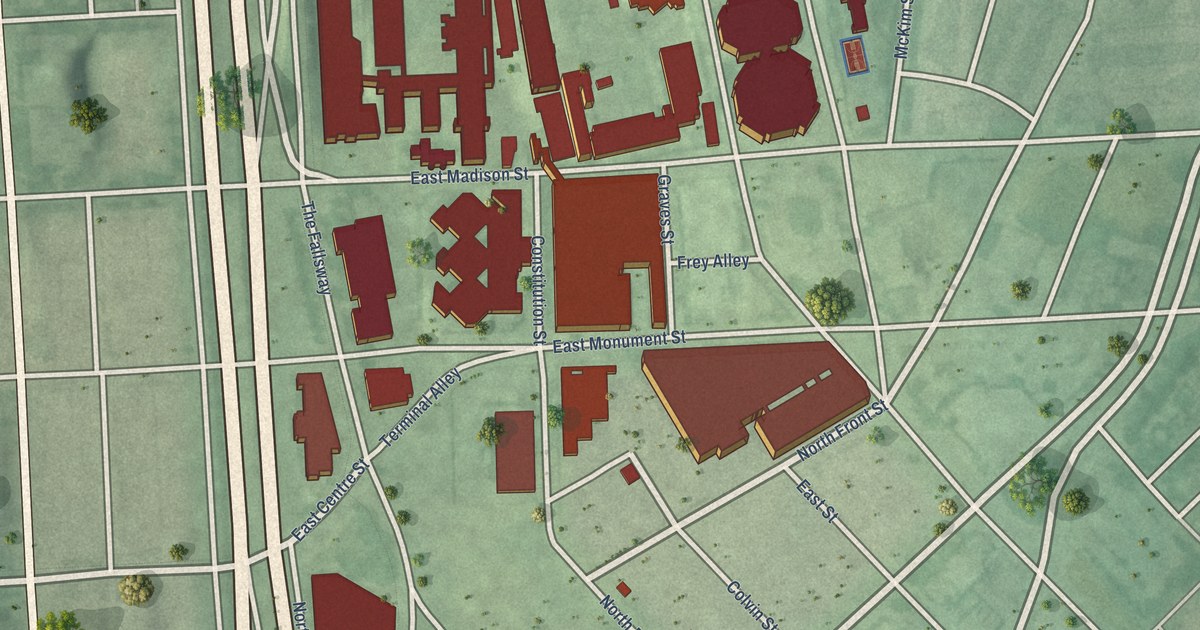
A detailed map of Penn-Fallsway, Maryland, showing every building in its true location, the roads by name, and shaded topographical relief.
Read More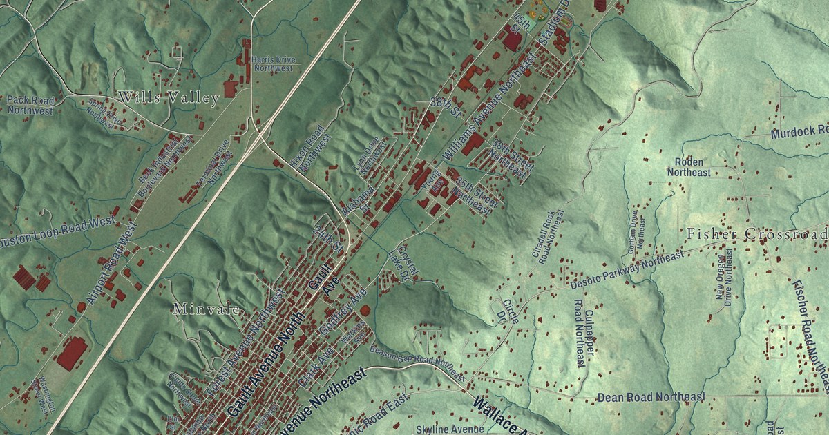
A detailed map of Fort Payne, Alabama, showing every building in its true location, the roads by name, and shaded topographical relief.
Read More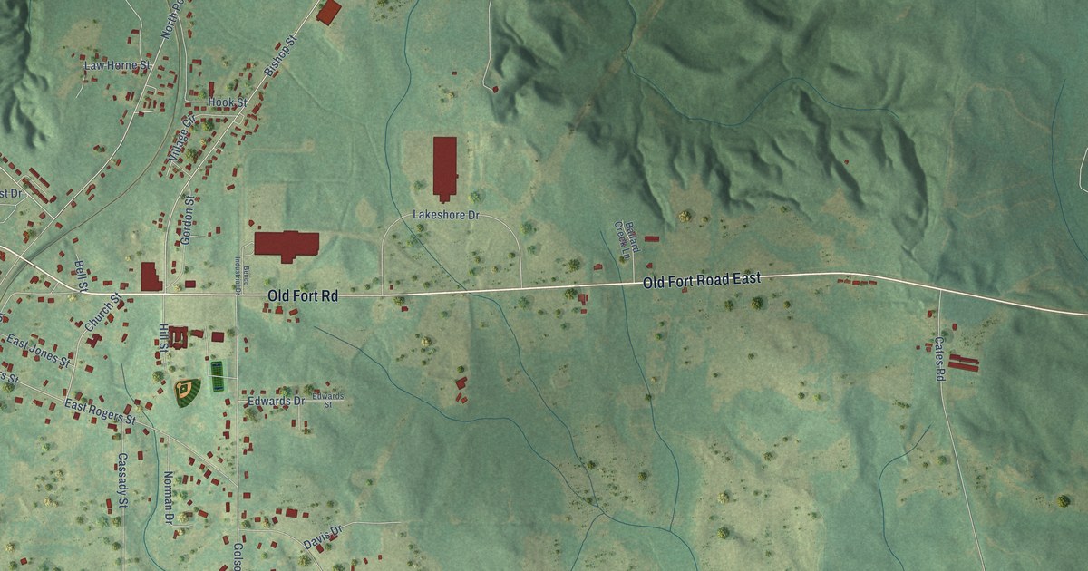
A detailed map of Fort Deposit, Alabama, showing every building in its true location, the roads by name, and shaded topographical relief.
Read More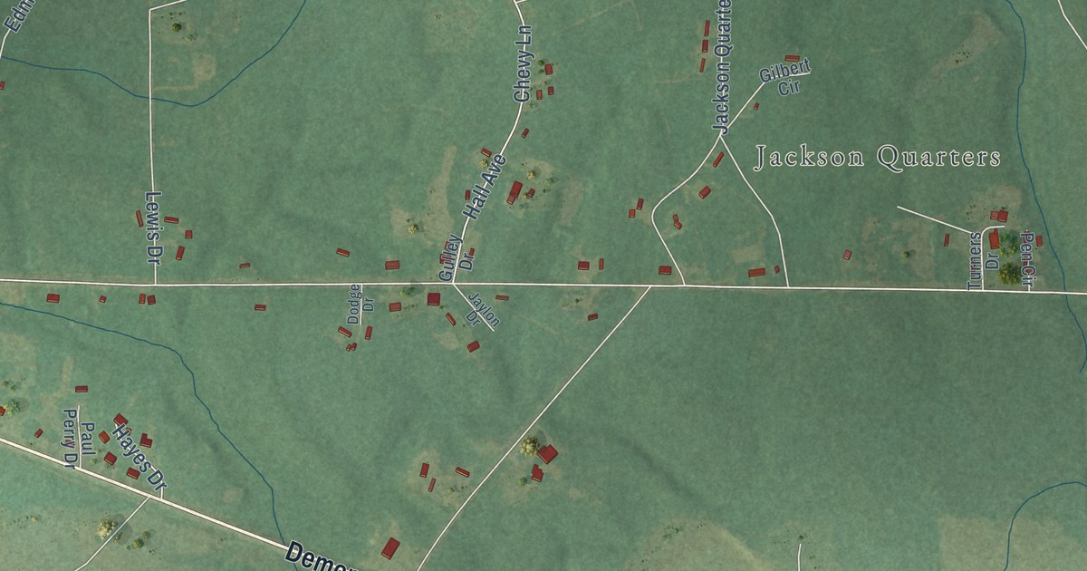
A detailed map of Forkland, Alabama, showing every building in its true location, the roads by name, and shaded topographical relief.
Read More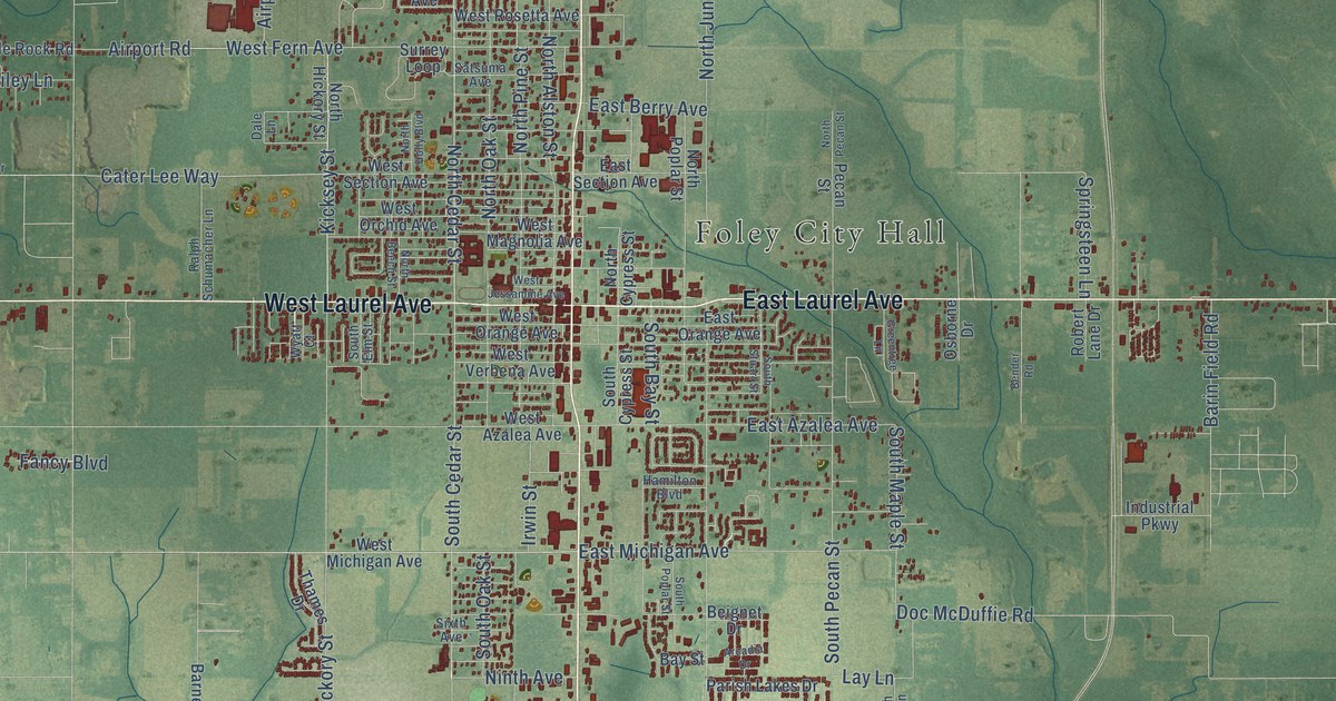
A detailed map of Foley, Alabama, showing every building in its true location, the roads by name, and shaded topographical relief.
Read More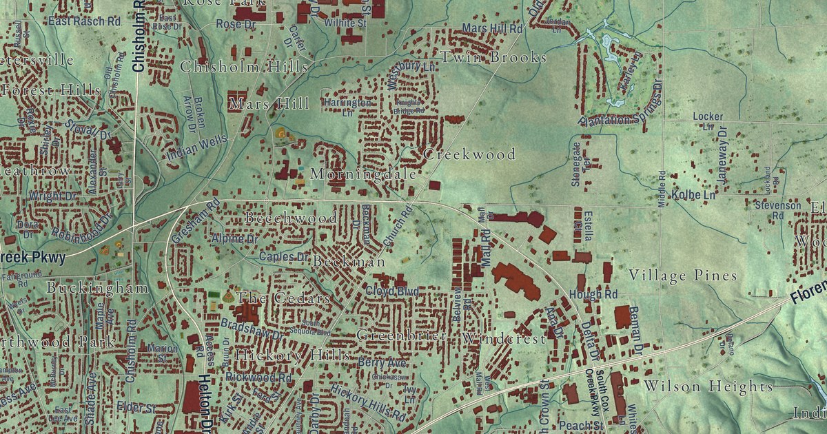
A detailed map of Florence, Alabama, showing every building in its true location, the roads by name, and shaded topographical relief.
Read More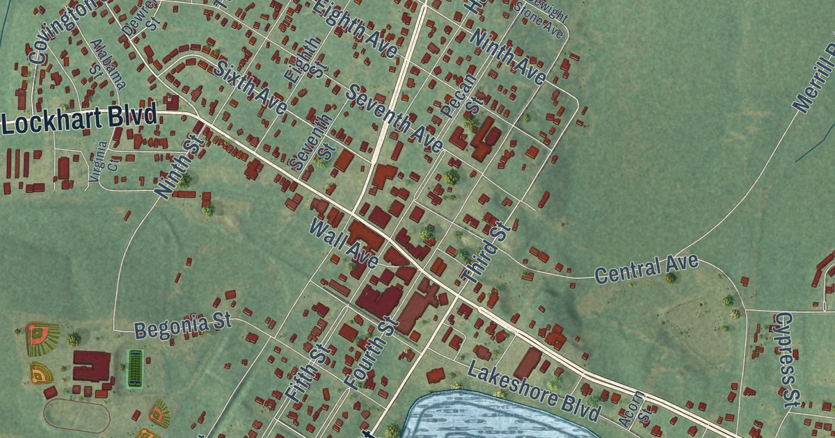
A detailed map of Florala, Alabama, showing every building in its true location, the roads by name, and shaded topographical relief.
Read More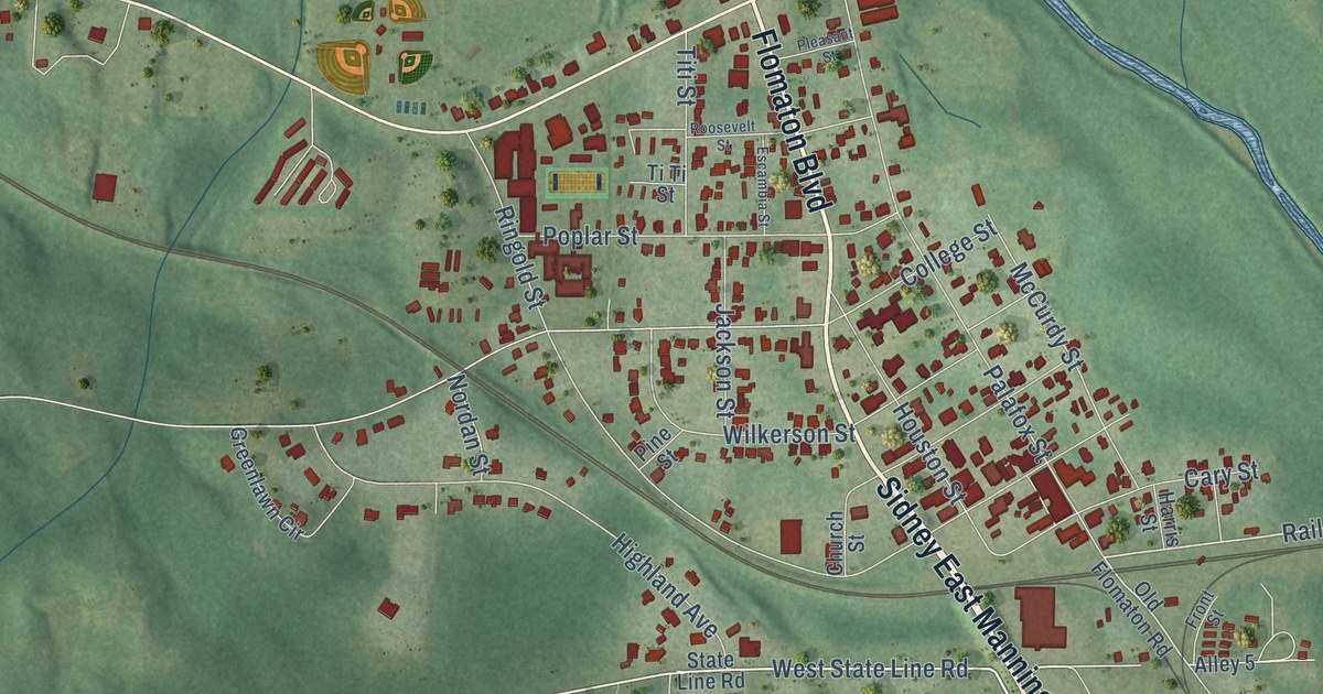
A detailed map of Flomaton, Alabama, showing every building in its true location, the roads by name, and shaded topographical relief.
Read More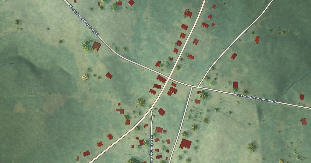
A detailed map of Five Points, Alabama, showing every building in its true location, the roads by name, and shaded topographical relief.
Read More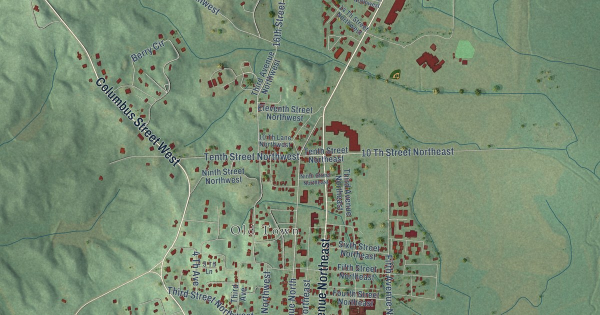
A detailed map of Fayette, Alabama, showing every building in its true location, the roads by name, and shaded topographical relief.
Read More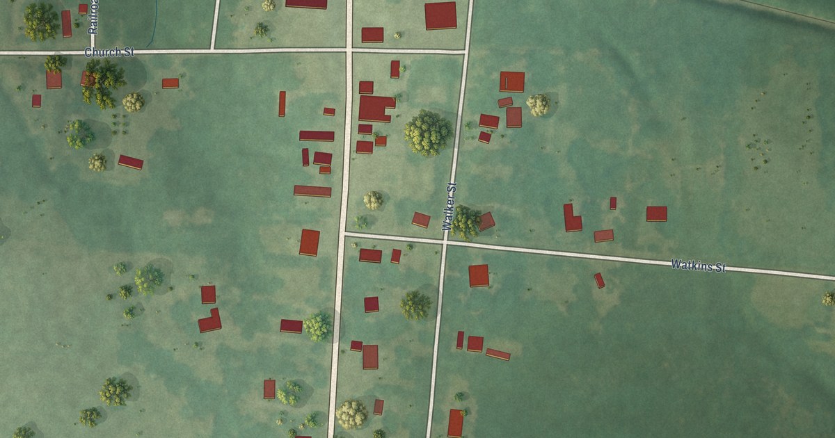
A detailed map of Faunsdale, Alabama, showing every building in its true location, the roads by name, and shaded topographical relief.
Read More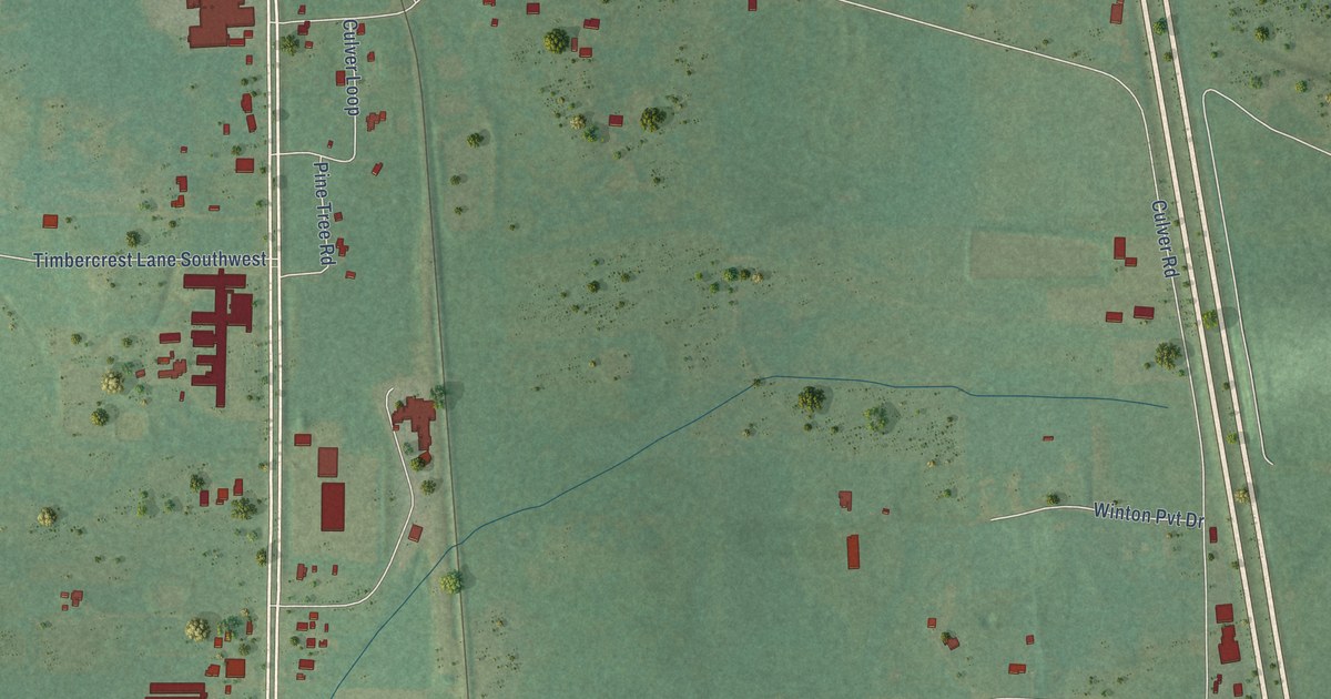
A detailed map of Falkville, Alabama, showing every building in its true location, the roads by name, and shaded topographical relief.
Read More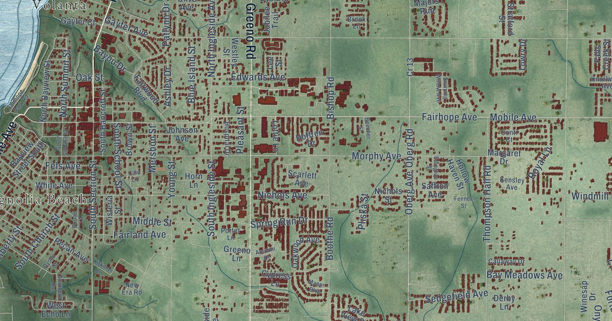
A detailed map of Fairhope, Alabama, showing every building in its true location, the roads by name, and shaded topographical relief.
Read More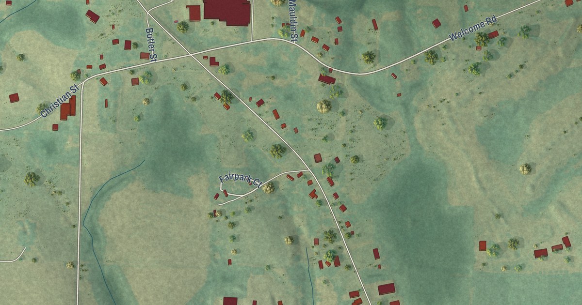
A detailed map of Fairview, Alabama, showing every building in its true location, the roads by name, and shaded topographical relief.
Read More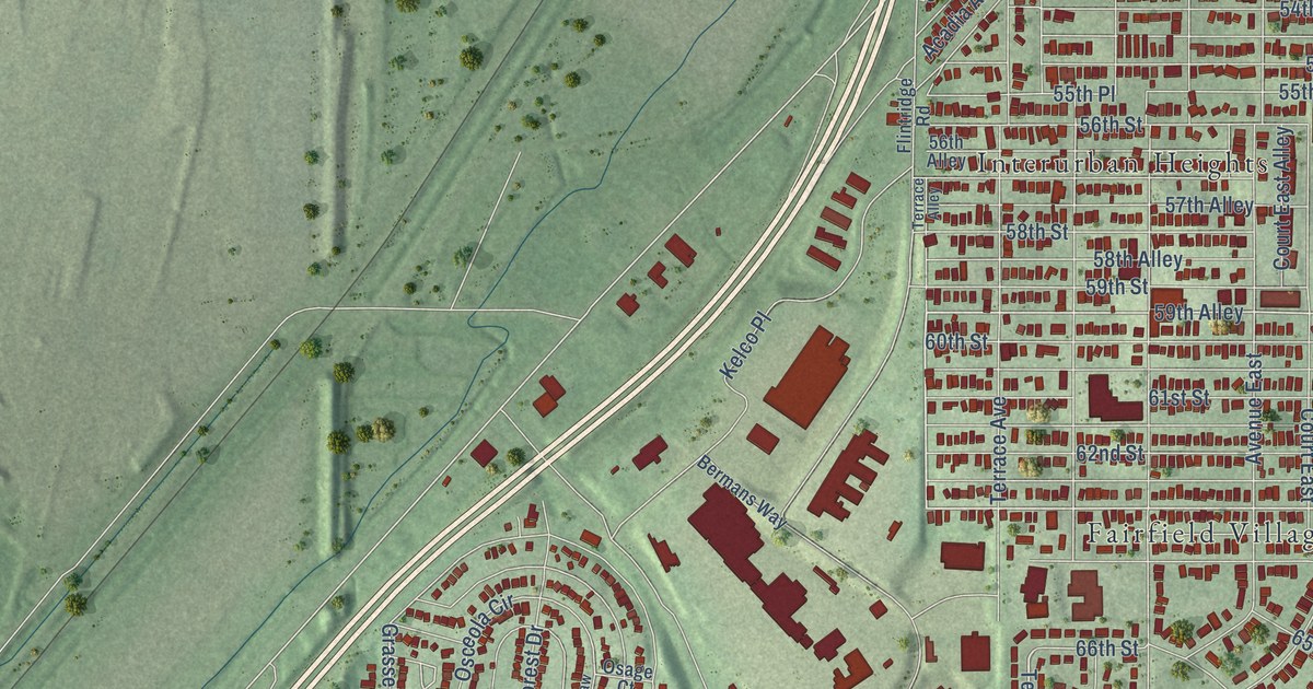
A detailed map of Fairfield, Alabama, showing every building in its true location, the roads by name, and shaded topographical relief.
Read More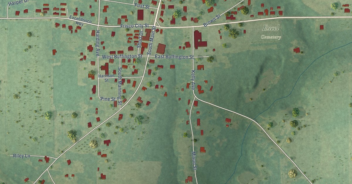
A detailed map of Excel, Alabama, showing every building in its true location, the roads by name, and shaded topographical relief.
Read More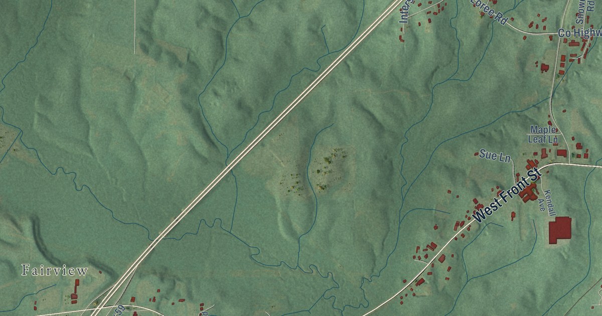
A detailed map of Evergreen, Alabama, showing every building in its true location, the roads by name, and shaded topographical relief.
Read More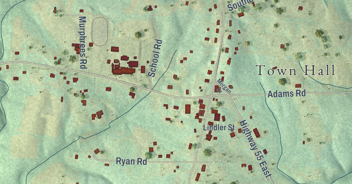
A detailed map of Eva, Alabama, showing every building in its true location, the roads by name, and shaded topographical relief.
Read More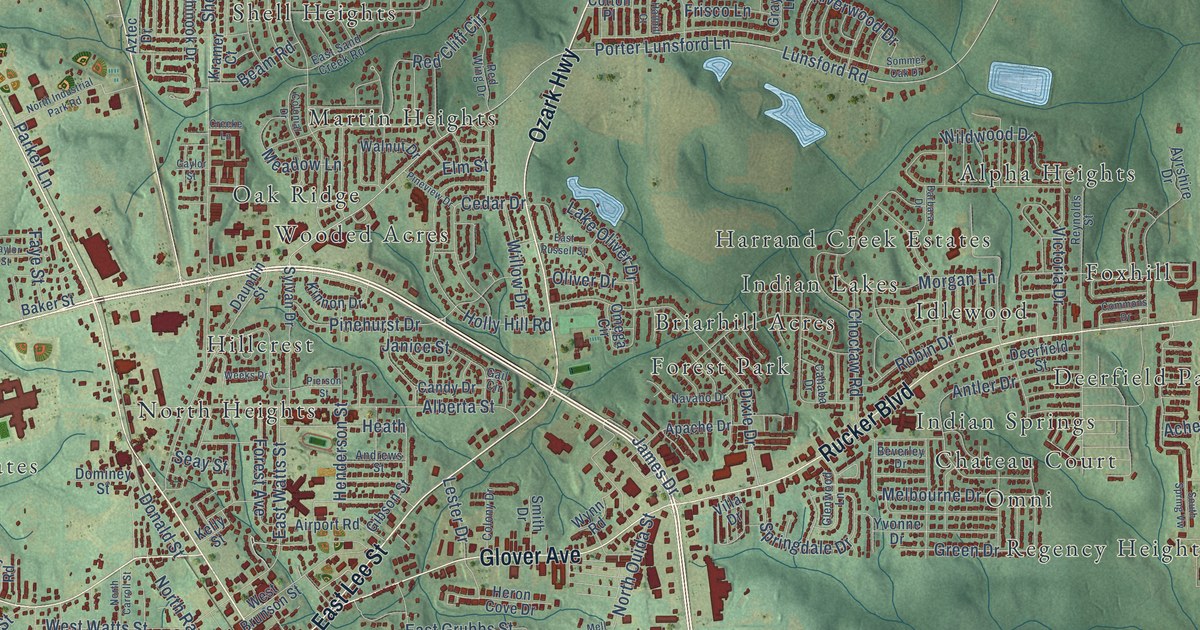
A detailed map of Enterprise, Alabama, showing every building in its true location, the roads by name, and shaded topographical relief.
Read More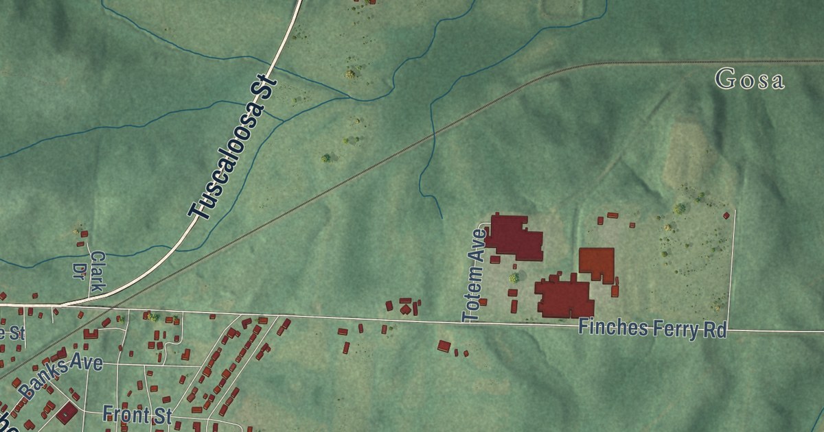
A detailed map of Eutaw, Alabama, showing every building in its true location, the roads by name, and shaded topographical relief.
Read More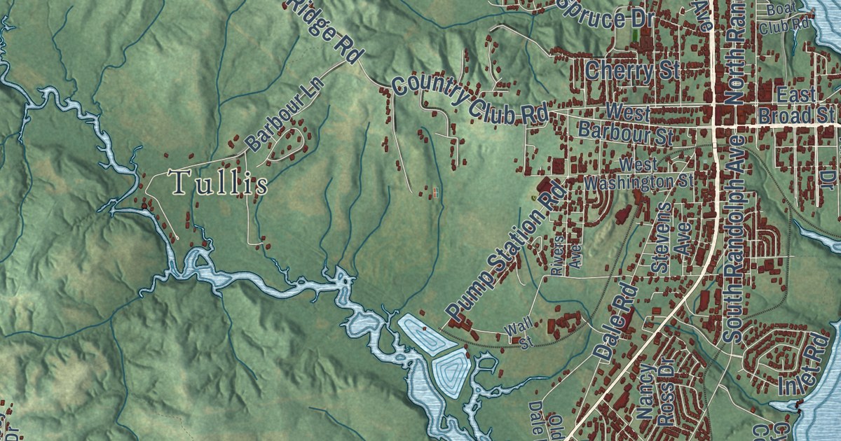
A detailed map of Eufaula, Alabama, showing every building in its true location, the roads by name, and shaded topographical relief.
Read More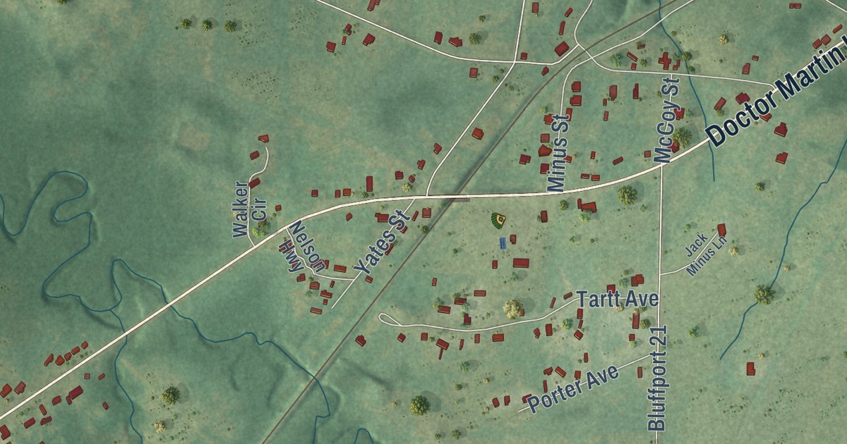
A detailed map of Epes, Alabama, showing every building in its true location, the roads by name, and shaded topographical relief.
Read More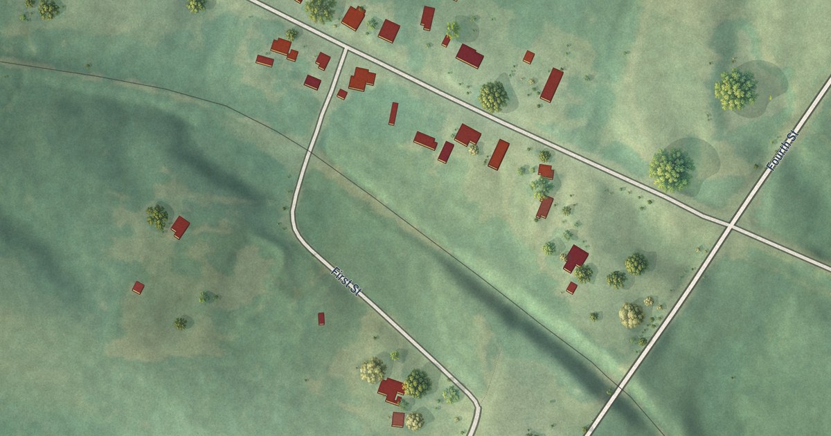
A detailed map of Ethelsville, Alabama, showing every building in its true location, the roads by name, and shaded topographical relief.
Read More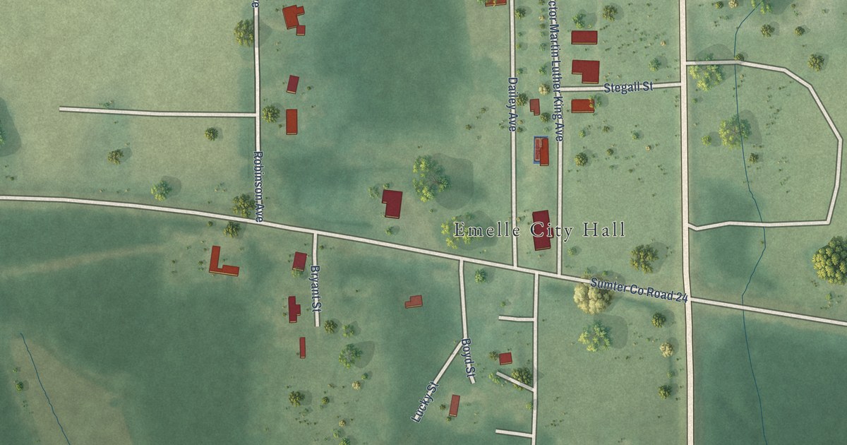
A detailed map of Emelle, Alabama, showing every building in its true location, the roads by name, and shaded topographical relief.
Read More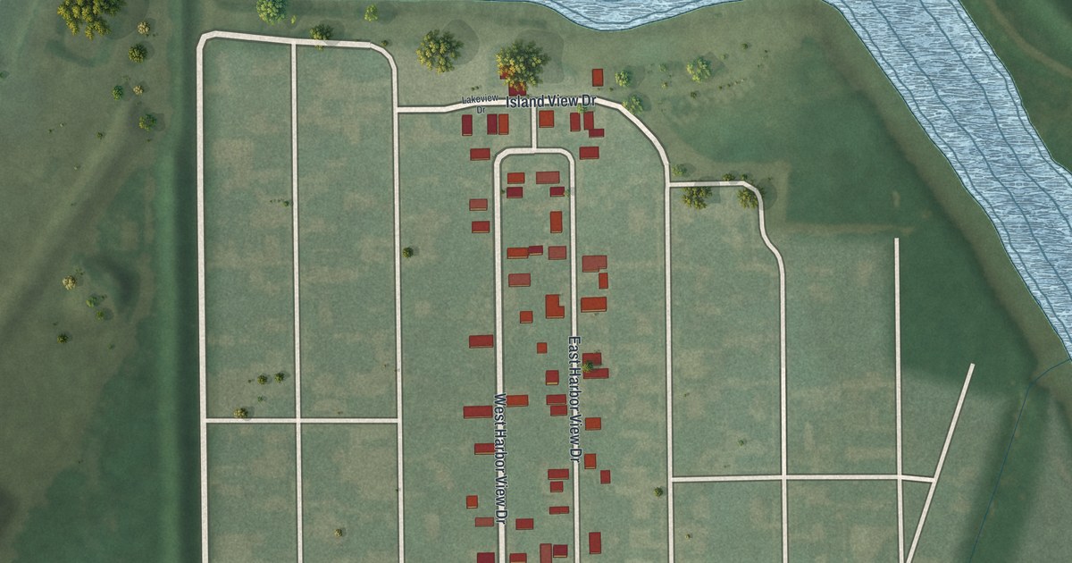
A detailed map of Harbor View, Ohio, showing every building in its true location, the roads by name, and shaded topographical relief.
Read More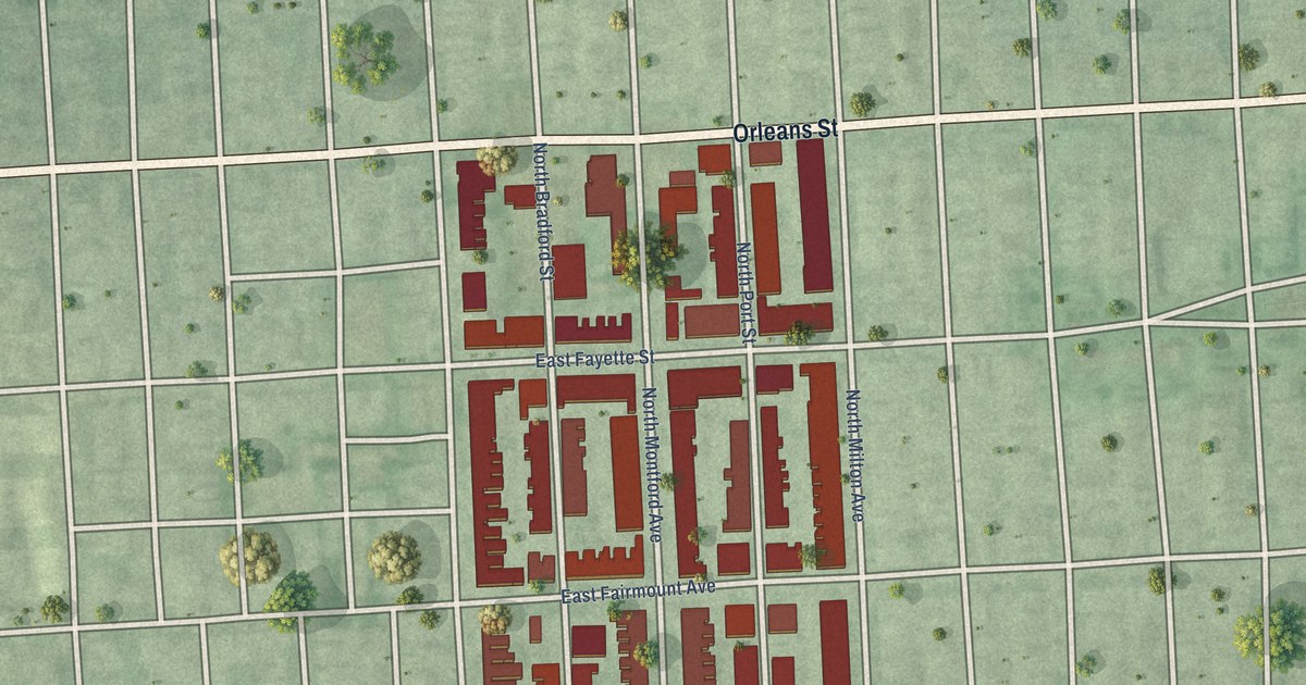
A detailed map of Patterson Place, Maryland, showing every building in its true location, the roads by name, and shaded topographical relief.
Read More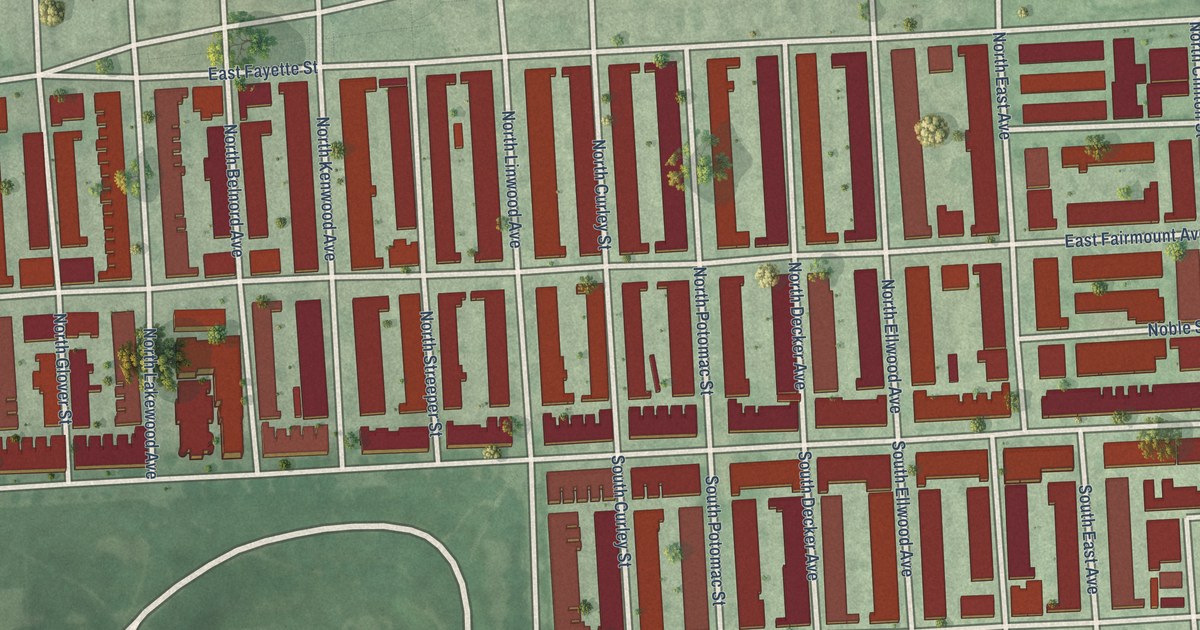
A detailed map of Patterson Park Neighborhood, Maryland, showing every building in its true location, the roads by name, and shaded topographical relief.
Read More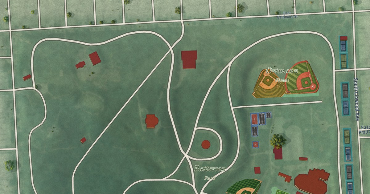
A detailed map of Patterson Park, Maryland, showing every building in its true location, the roads by name, and shaded topographical relief.
Read More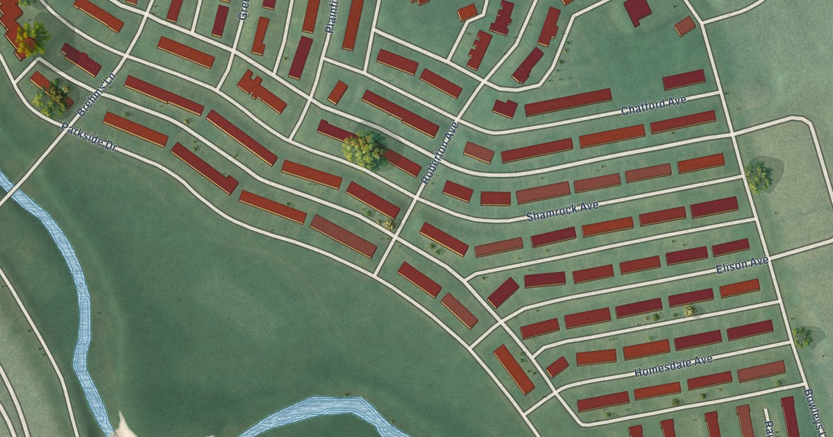
A detailed map of Parkside, Maryland, showing every building in its true location, the roads by name, and shaded topographical relief.
Read More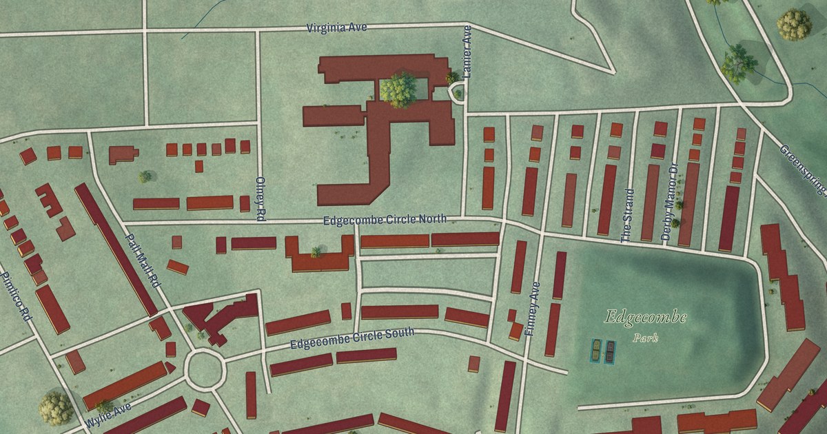
A detailed map of Parklane, Maryland, showing every building in its true location, the roads by name, and shaded topographical relief.
Read More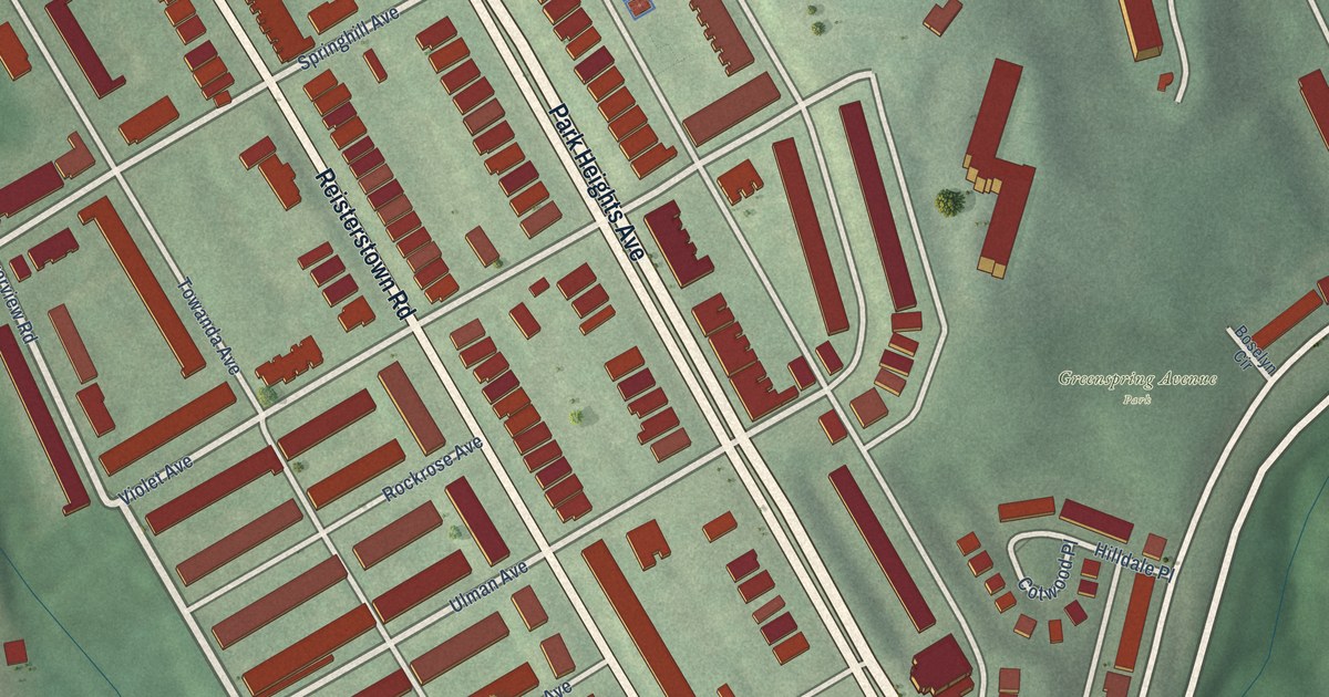
A detailed map of Park Circle, Maryland, showing every building in its true location, the roads by name, and shaded topographical relief.
Read More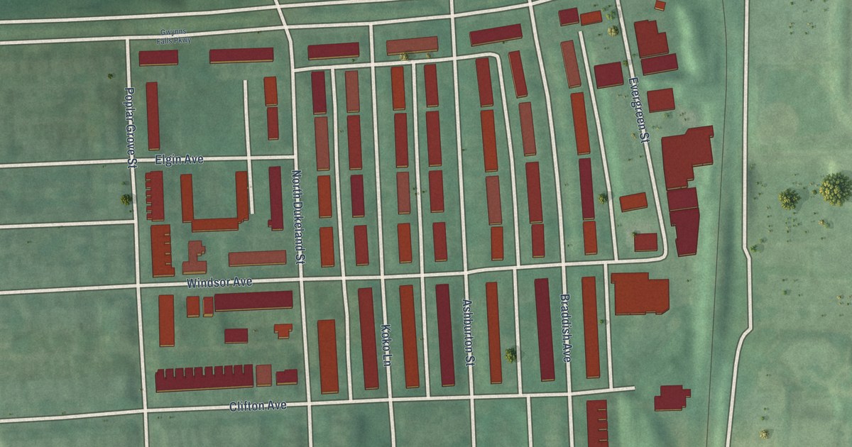
A detailed map of Panway/Braddish Avenue, Maryland, showing every building in its true location, the roads by name, and shaded topographical relief.
Read More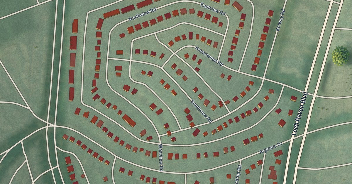
A detailed map of Original Northwood, Maryland, showing every building in its true location, the roads by name, and shaded topographical relief.
Read More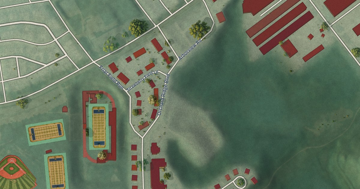
A detailed map of Orchard Ridge, Maryland, showing every building in its true location, the roads by name, and shaded topographical relief.
Read More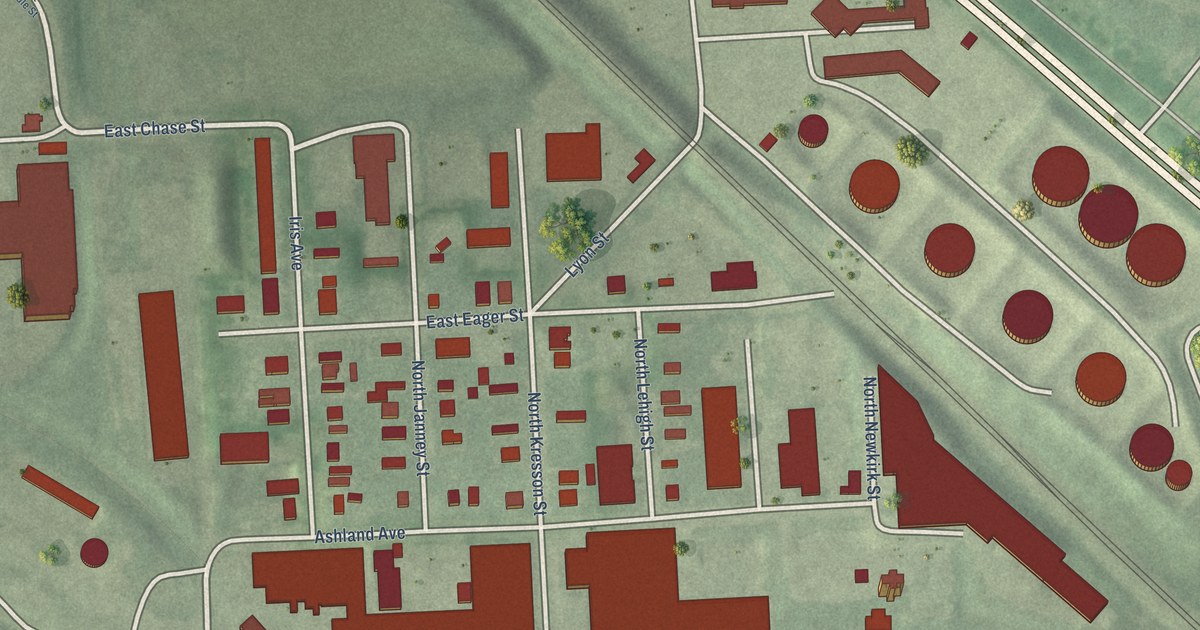
A detailed map of Orangeville, Maryland, showing every building in its true location, the roads by name, and shaded topographical relief.
Read More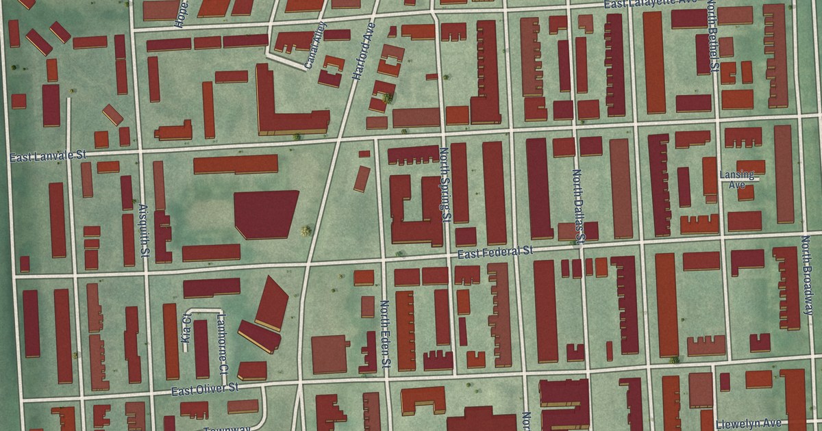
A detailed map of Oliver, Maryland, showing every building in its true location, the roads by name, and shaded topographical relief.
Read More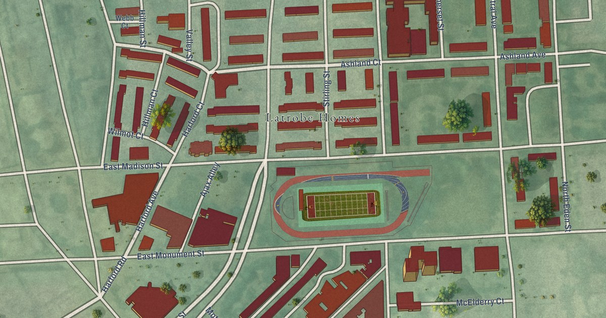
A detailed map of Oldtown, Maryland, showing every building in its true location, the roads by name, and shaded topographical relief.
Read More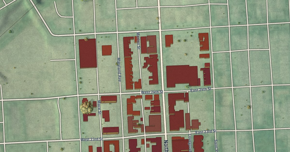
A detailed map of Old Goucher, Maryland, showing every building in its true location, the roads by name, and shaded topographical relief.
Read More















