Detailed Map of Verona, North Dakota
A detailed map of Verona, North Dakota, showing every building in its true location, the roads by name, and shaded topographical relief.
Read More
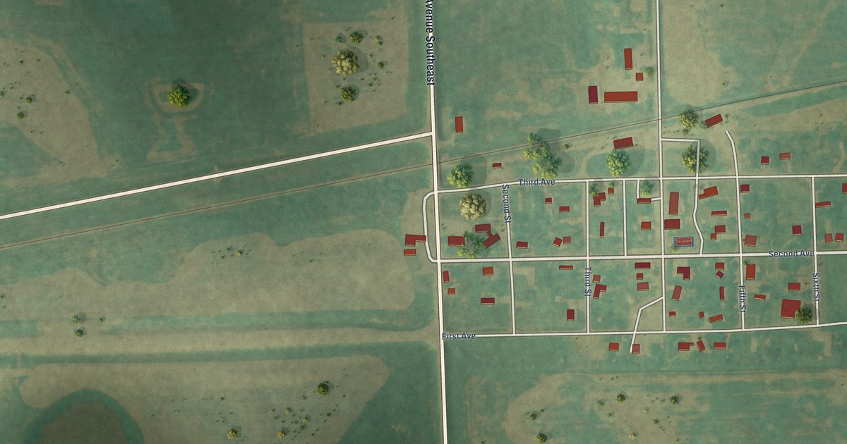
A detailed map of Verona, North Dakota, showing every building in its true location, the roads by name, and shaded topographical relief.
Read More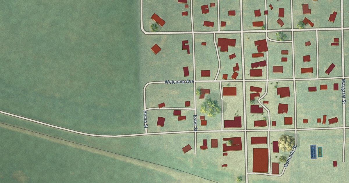
A detailed map of Tolna, North Dakota, showing every building in its true location, the roads by name, and shaded topographical relief.
Read More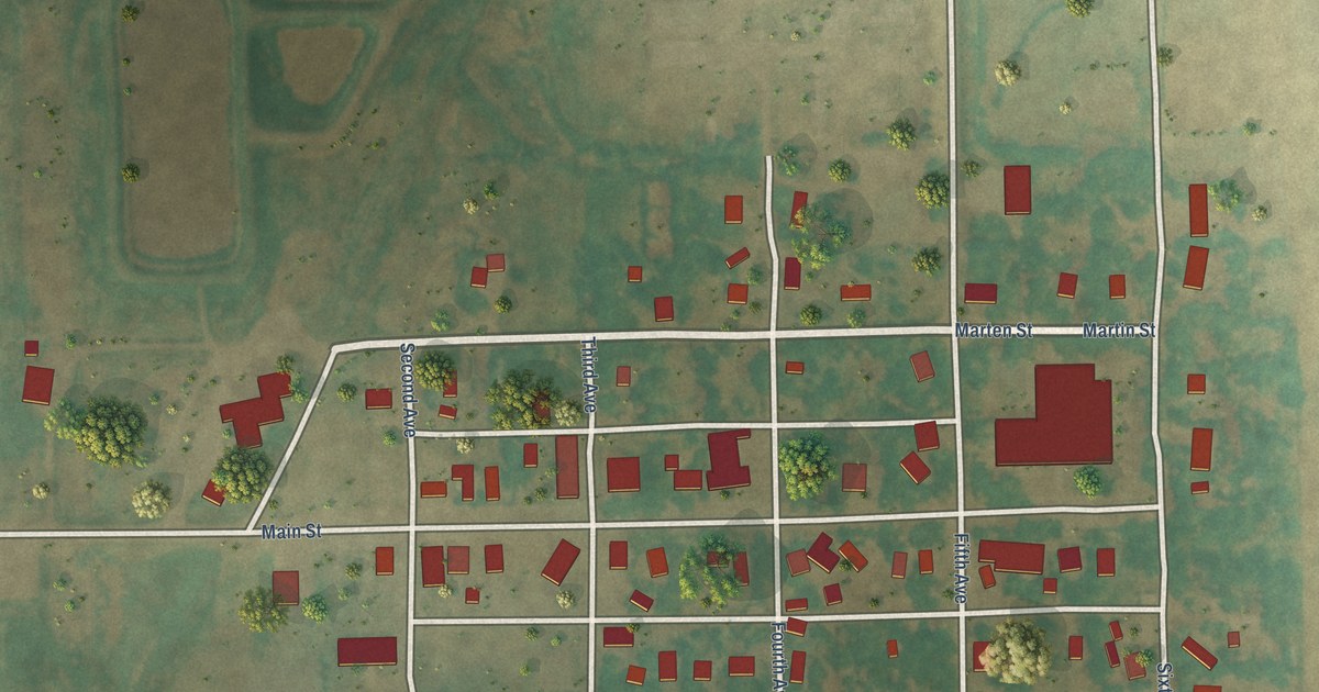
A detailed map of Starkweather, North Dakota, showing every building in its true location, the roads by name, and shaded topographical relief.
Read More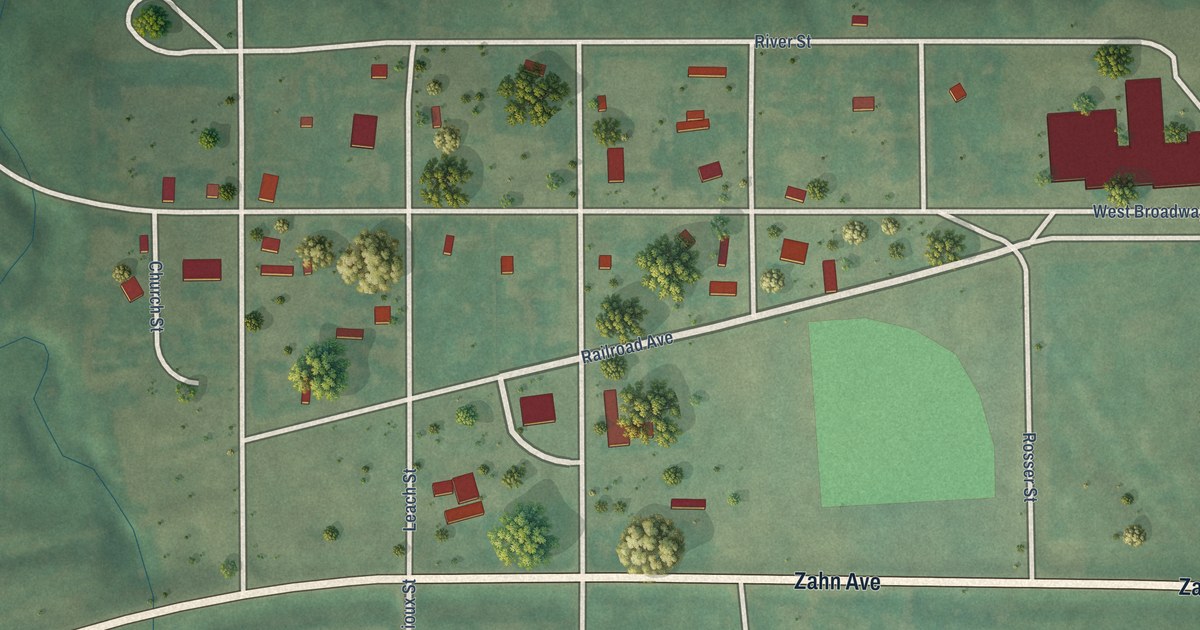
A detailed map of Solen, North Dakota, showing every building in its true location, the roads by name, and shaded topographical relief.
Read More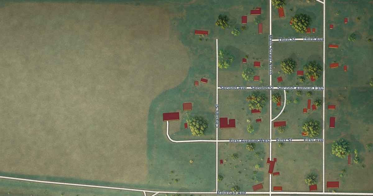
A detailed map of Regan, North Dakota, showing every building in its true location, the roads by name, and shaded topographical relief.
Read More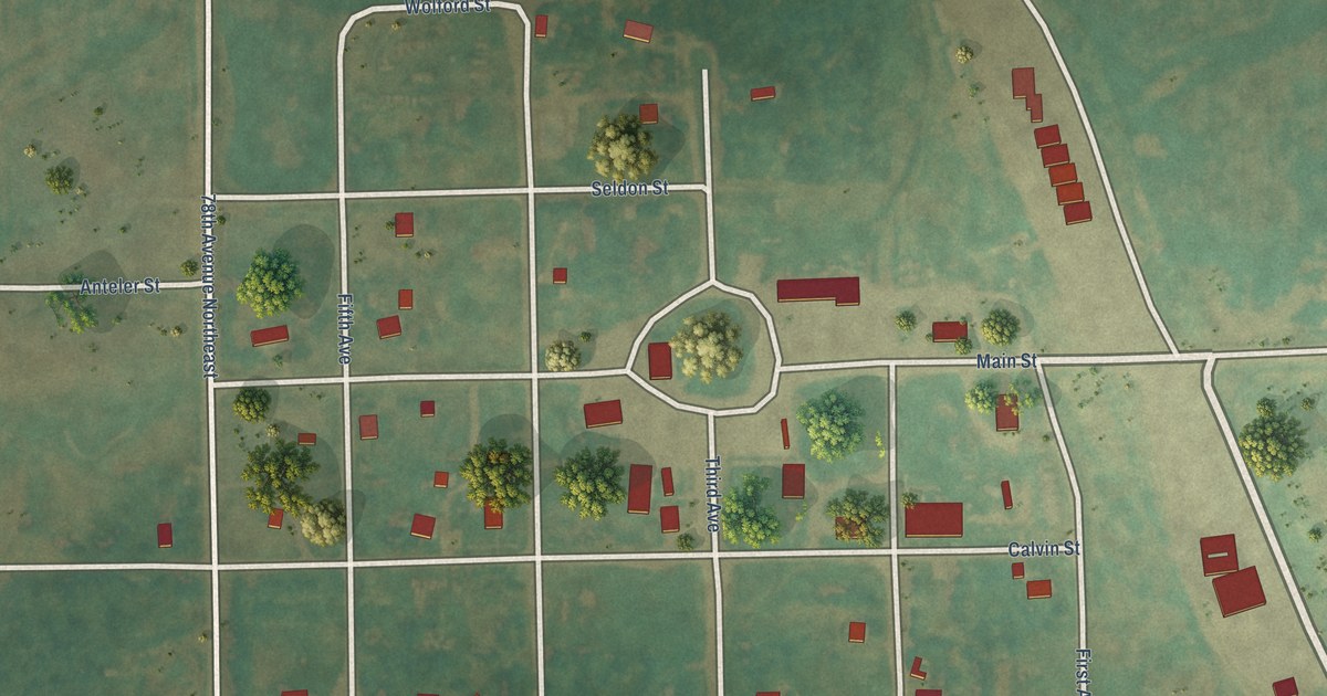
A detailed map of Sarles, North Dakota, showing every building in its true location, the roads by name, and shaded topographical relief.
Read More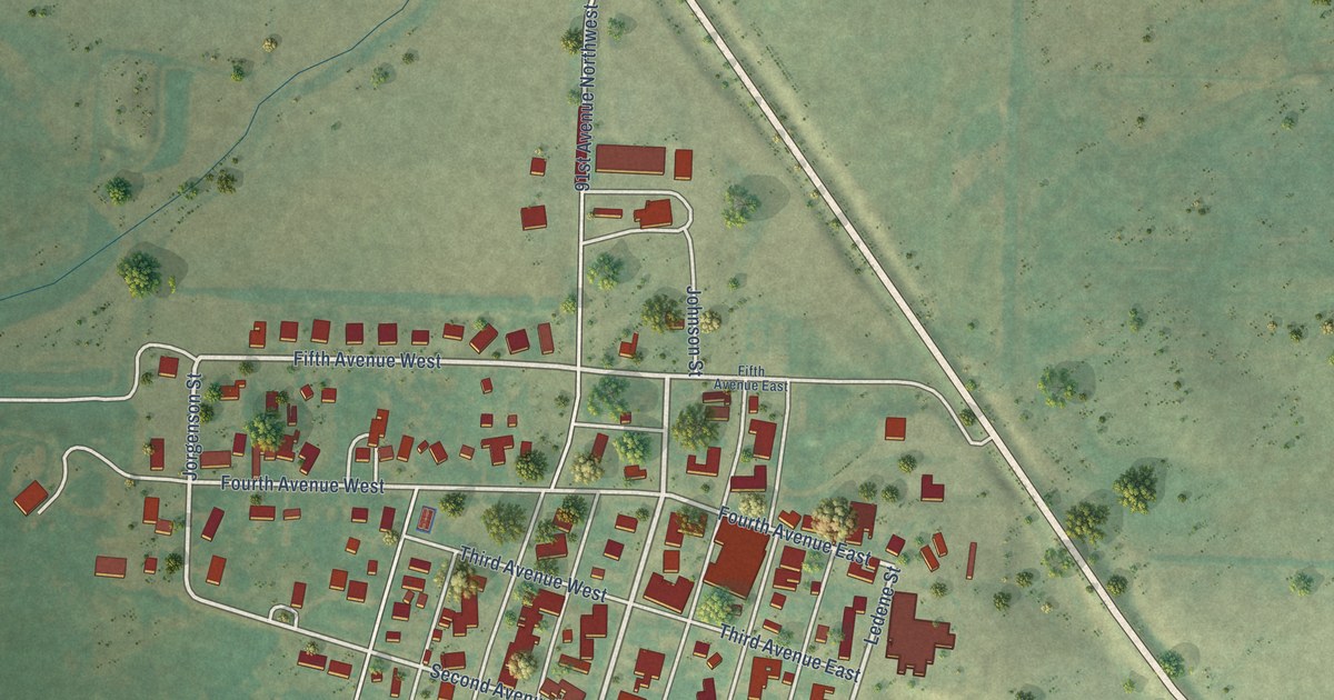
A detailed map of Powers Lake, North Dakota, showing every building in its true location, the roads by name, and shaded topographical relief.
Read More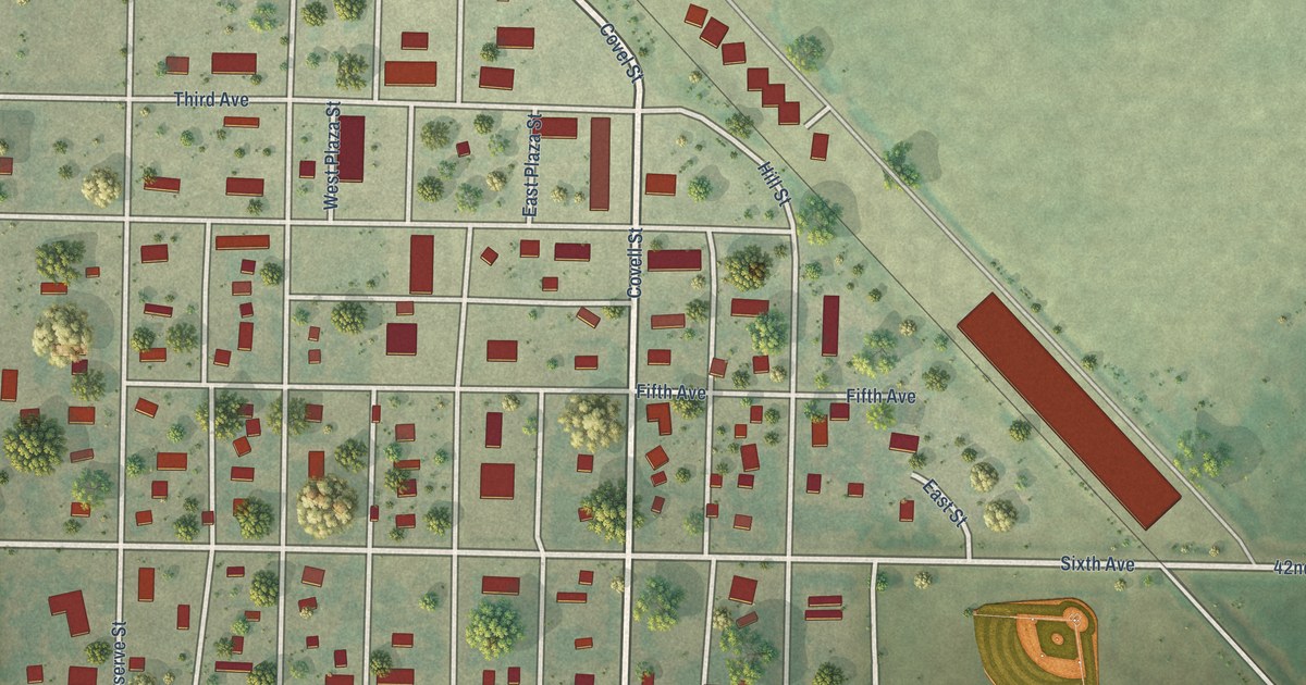
A detailed map of Plaza, North Dakota, showing every building in its true location, the roads by name, and shaded topographical relief.
Read More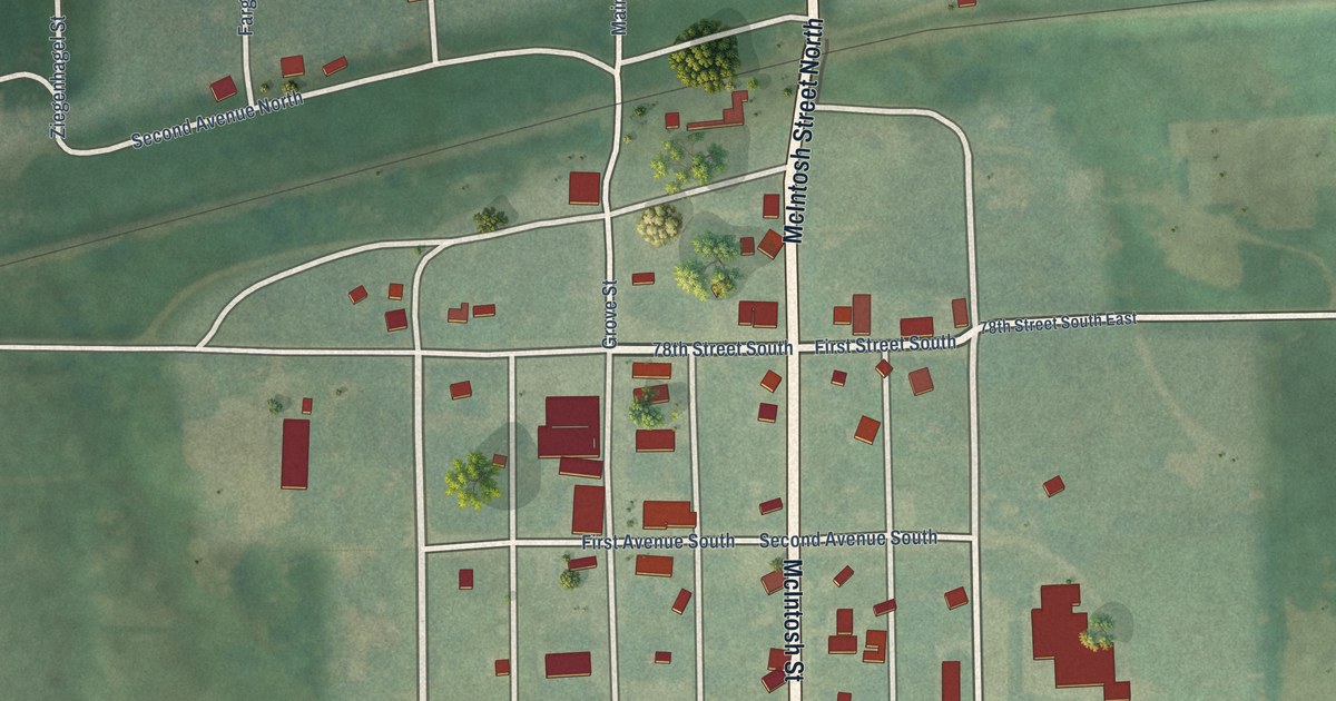
A detailed map of Lehr, North Dakota, showing every building in its true location, the roads by name, and shaded topographical relief.
Read More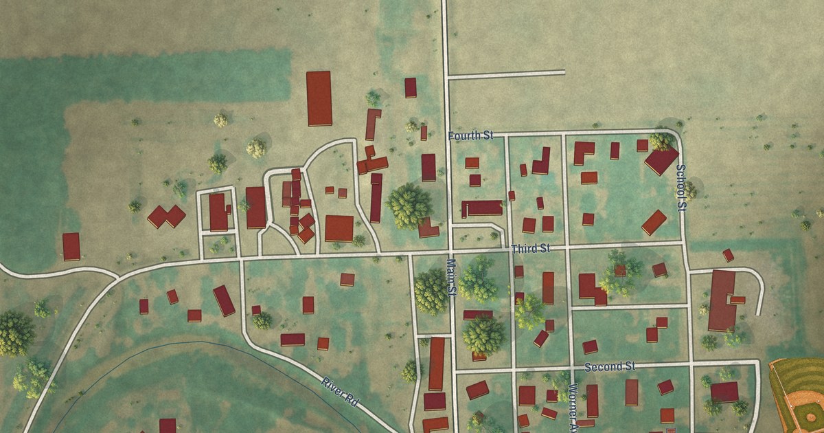
A detailed map of Great Bend, North Dakota, showing every building in its true location, the roads by name, and shaded topographical relief.
Read More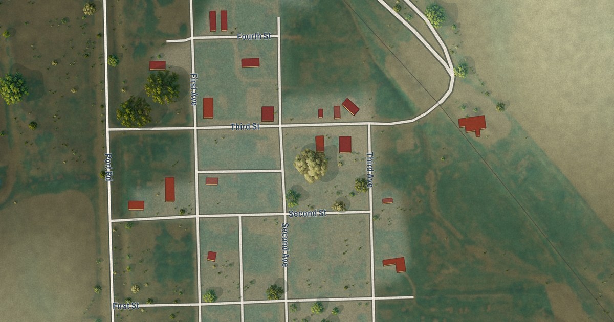
A detailed map of Hannah, North Dakota, showing every building in its true location, the roads by name, and shaded topographical relief.
Read More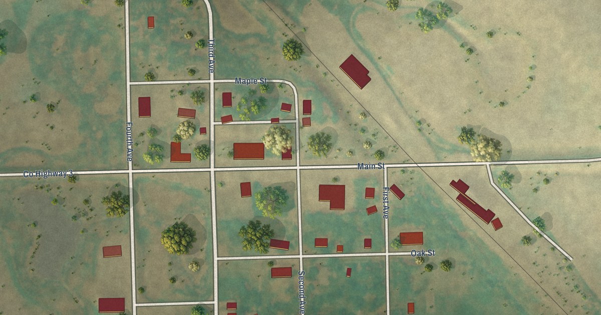
A detailed map of Hampden, North Dakota, showing every building in its true location, the roads by name, and shaded topographical relief.
Read More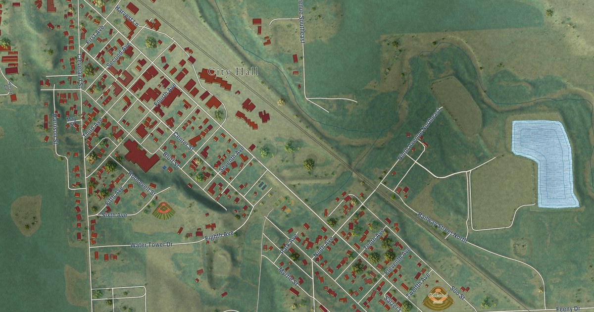
A detailed map of Enderlin, North Dakota, showing every building in its true location, the roads by name, and shaded topographical relief.
Read More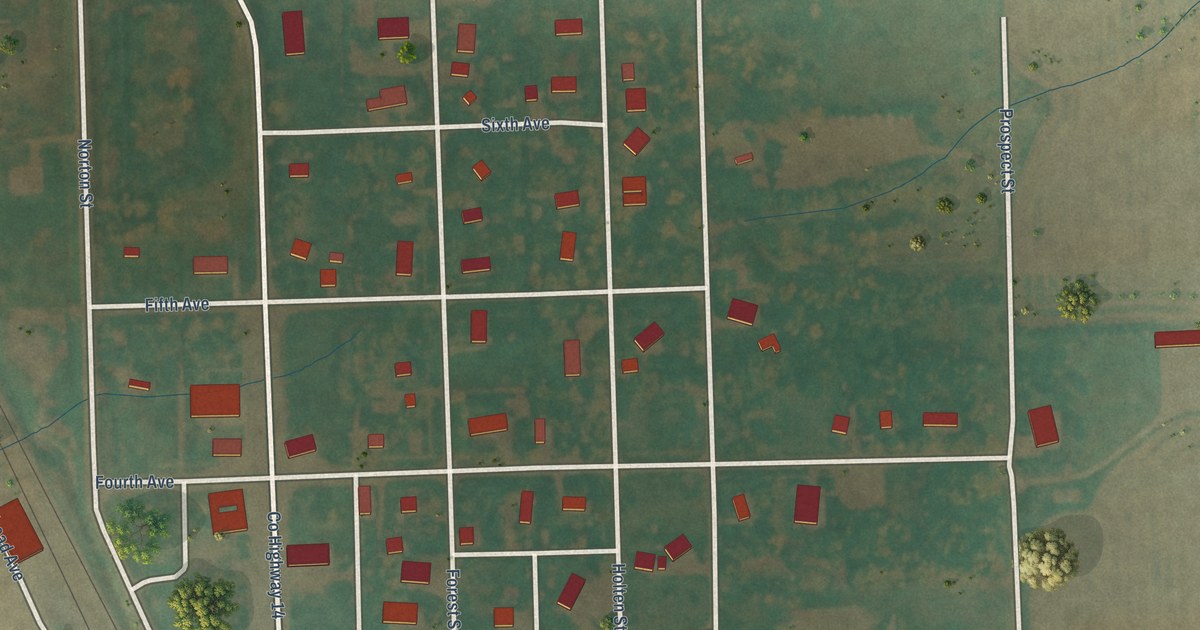
A detailed map of Lankin, North Dakota, showing every building in its true location, the roads by name, and shaded topographical relief.
Read More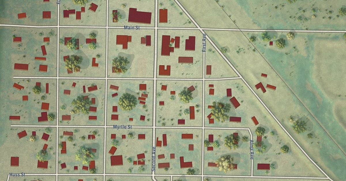
A detailed map of Lansford, North Dakota, showing every building in its true location, the roads by name, and shaded topographical relief.
Read More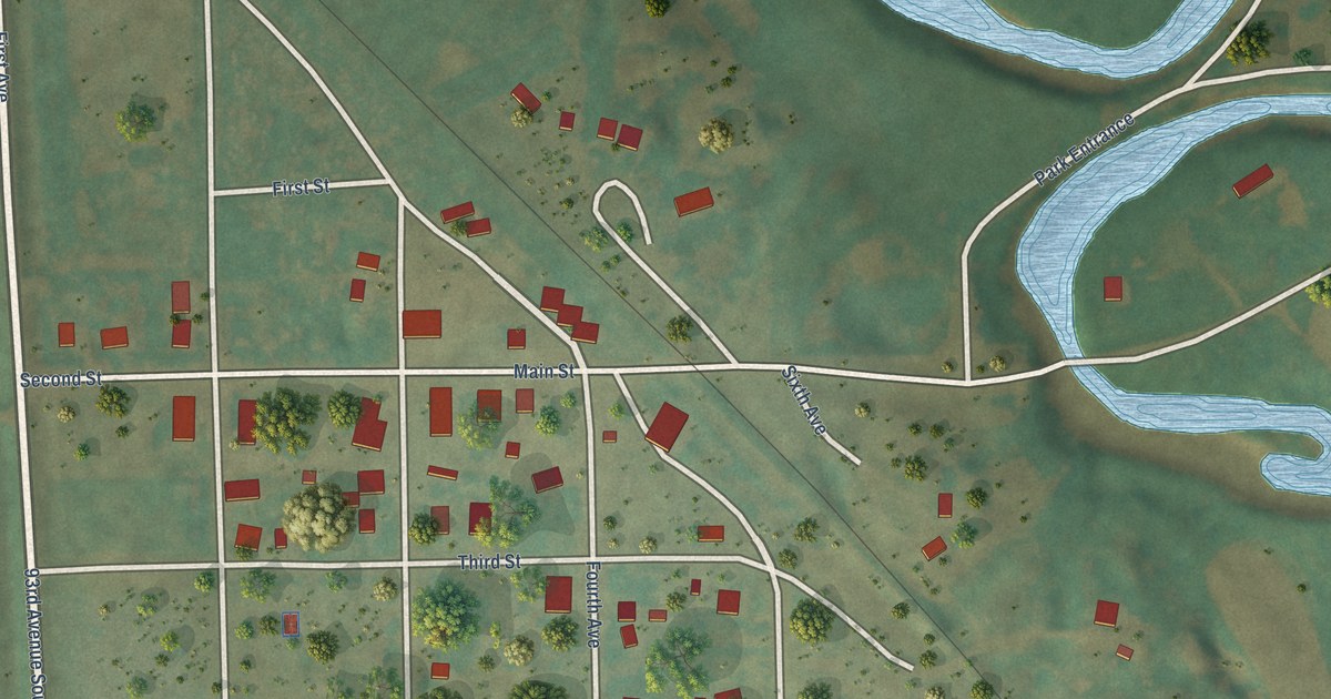
A detailed map of Dickey, North Dakota, showing every building in its true location, the roads by name, and shaded topographical relief.
Read More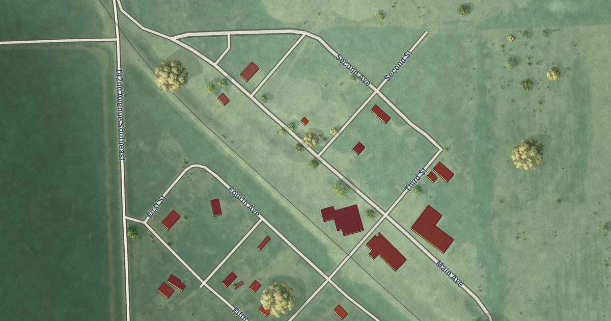
A detailed map of Ayr, North Dakota, showing every building in its true location, the roads by name, and shaded topographical relief.
Read More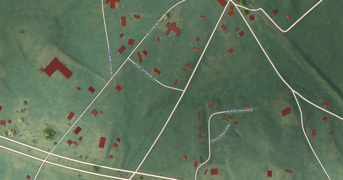
A detailed map of Kellyton, Alabama, showing every building in its true location, the roads by name, and shaded topographical relief.
Read More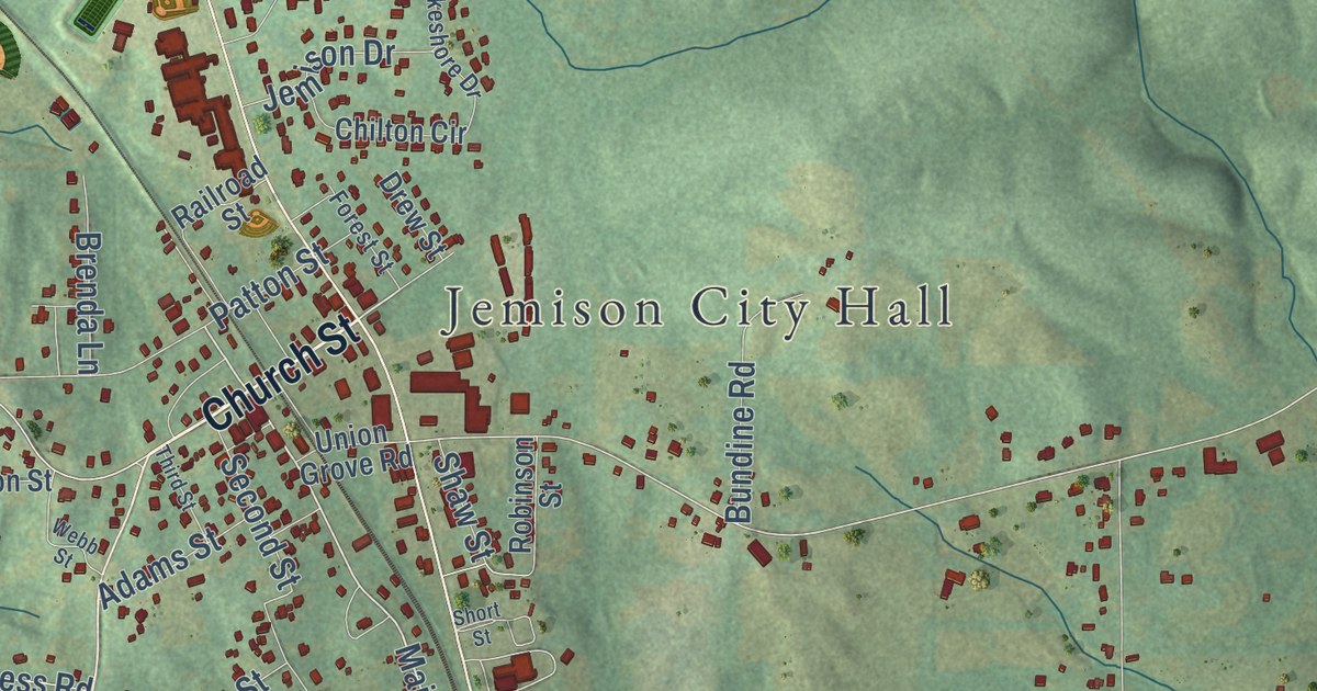
A detailed map of Jemison, Alabama, showing every building in its true location, the roads by name, and shaded topographical relief.
Read More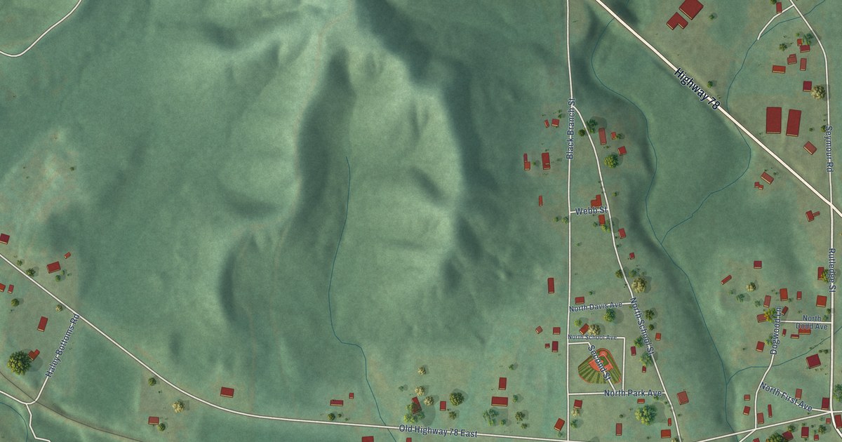
A detailed map of Kansas, Alabama, showing every building in its true location, the roads by name, and shaded topographical relief.
Read More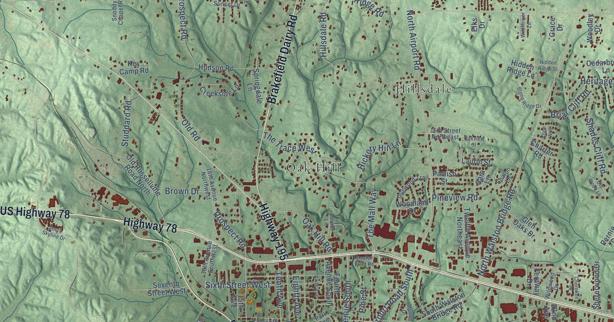
A detailed map of Jasper, Alabama, showing every building in its true location, the roads by name, and shaded topographical relief.
Read More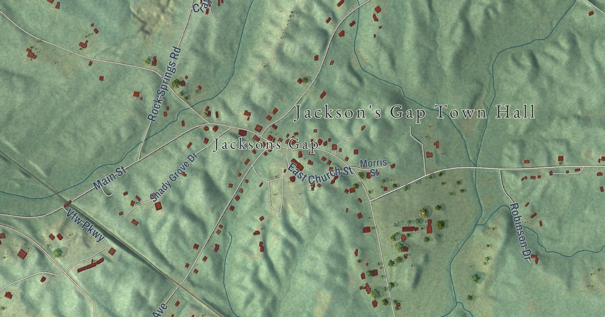
A detailed map of Jacksons’ Gap, Alabama, showing every building in its true location, the roads by name, and shaded topographical relief.
Read More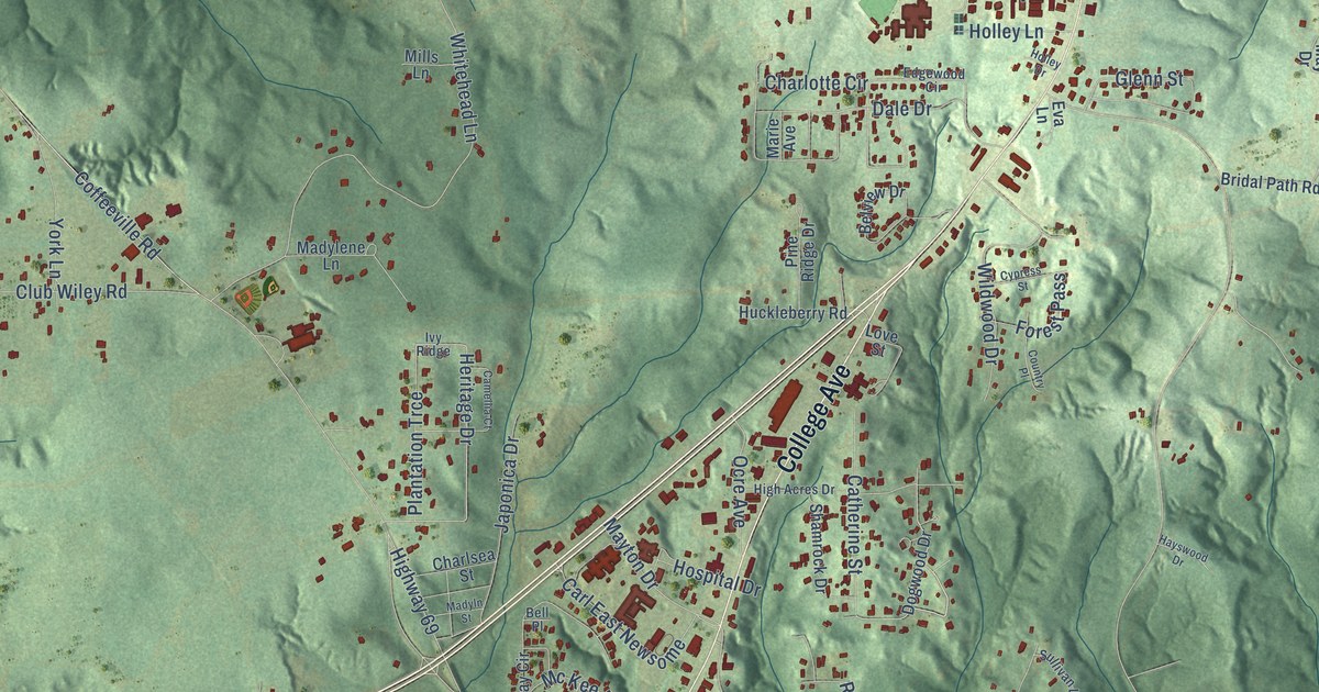
A detailed map of Jackson, Alabama, showing every building in its true location, the roads by name, and shaded topographical relief.
Read More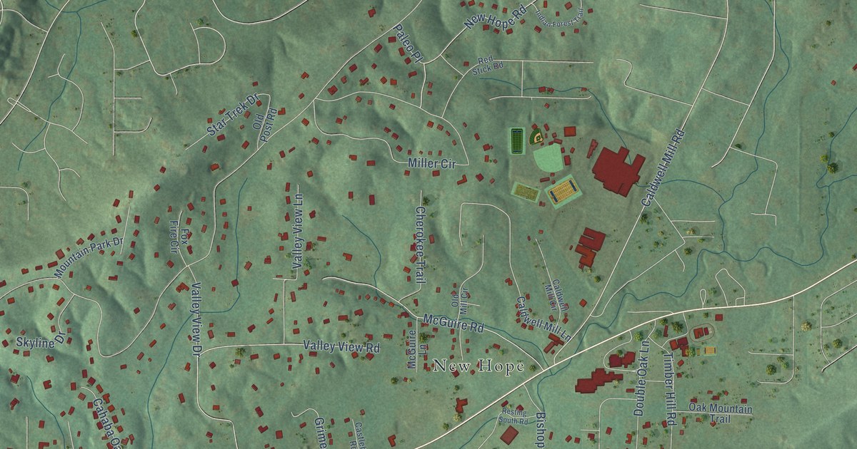
A detailed map of Indian Springs Village, Alabama, showing every building in its true location, the roads by name, and shaded topographical relief.
Read More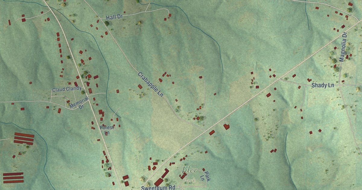
A detailed map of Ider, Alabama, showing every building in its true location, the roads by name, and shaded topographical relief.
Read More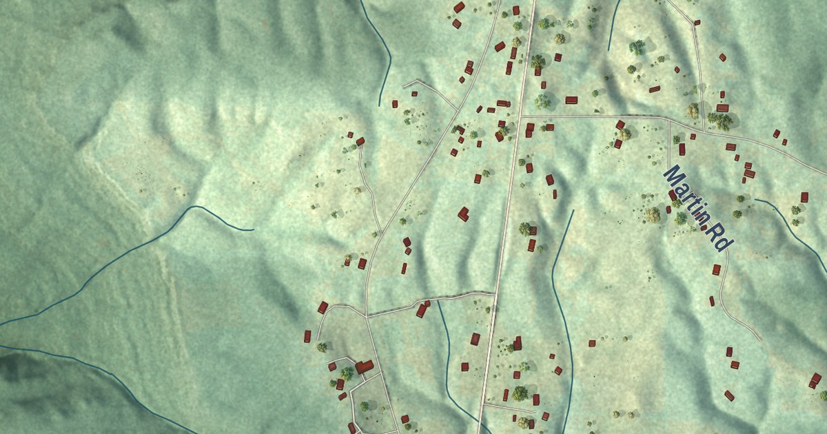
A detailed map of Hytop, Alabama, showing every building in its true location, the roads by name, and shaded topographical relief.
Read More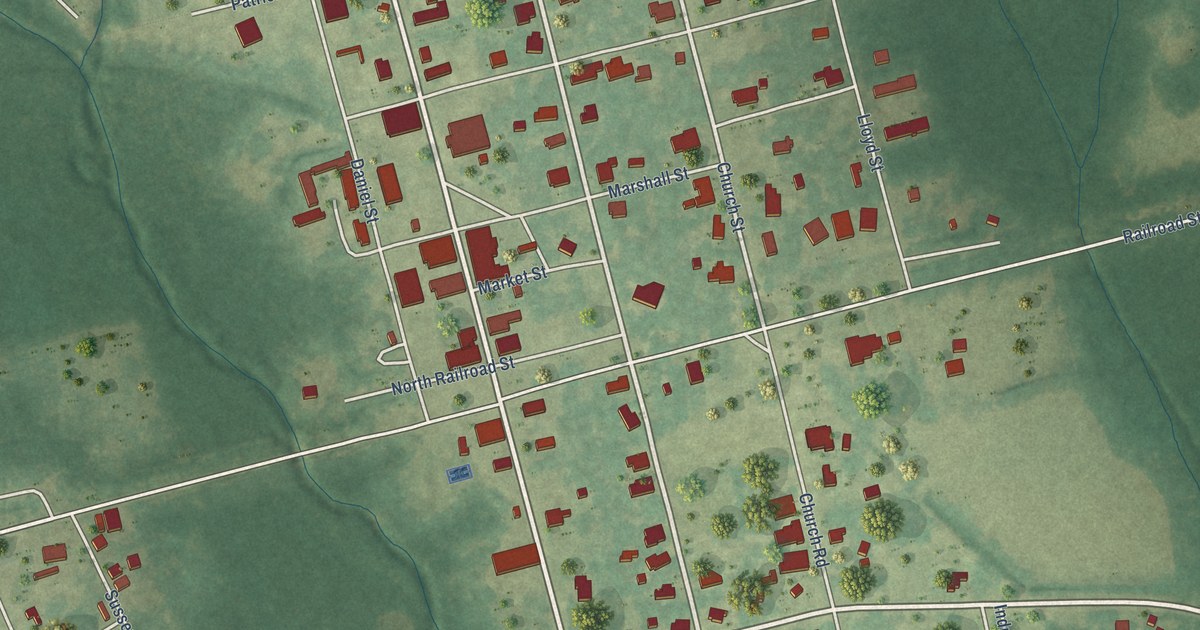
A detailed map of Hurtsboro, Alabama, showing every building in its true location, the roads by name, and shaded topographical relief.
Read More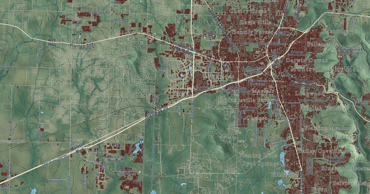
A detailed map of Huntsville, Alabama, showing every building in its true location, the roads by name, and shaded topographical relief.
Read More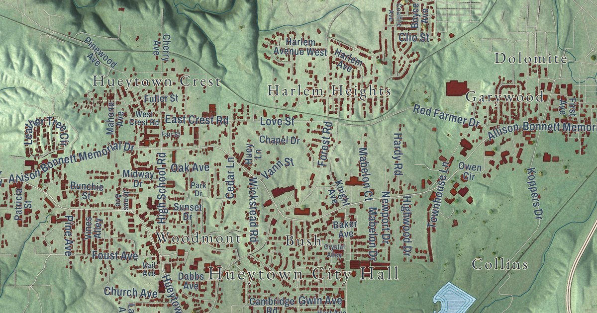
A detailed map of Hueytown, Alabama, showing every building in its true location, the roads by name, and shaded topographical relief.
Read More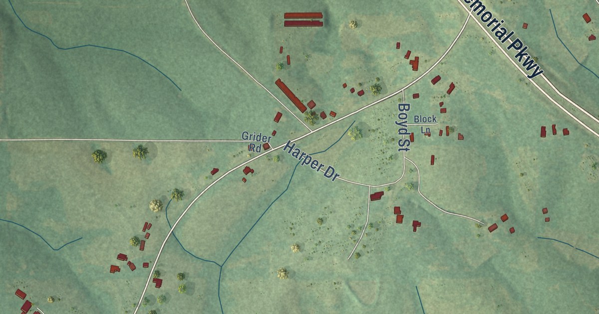
A detailed map of Horn Hill, Alabama, showing every building in its true location, the roads by name, and shaded topographical relief.
Read More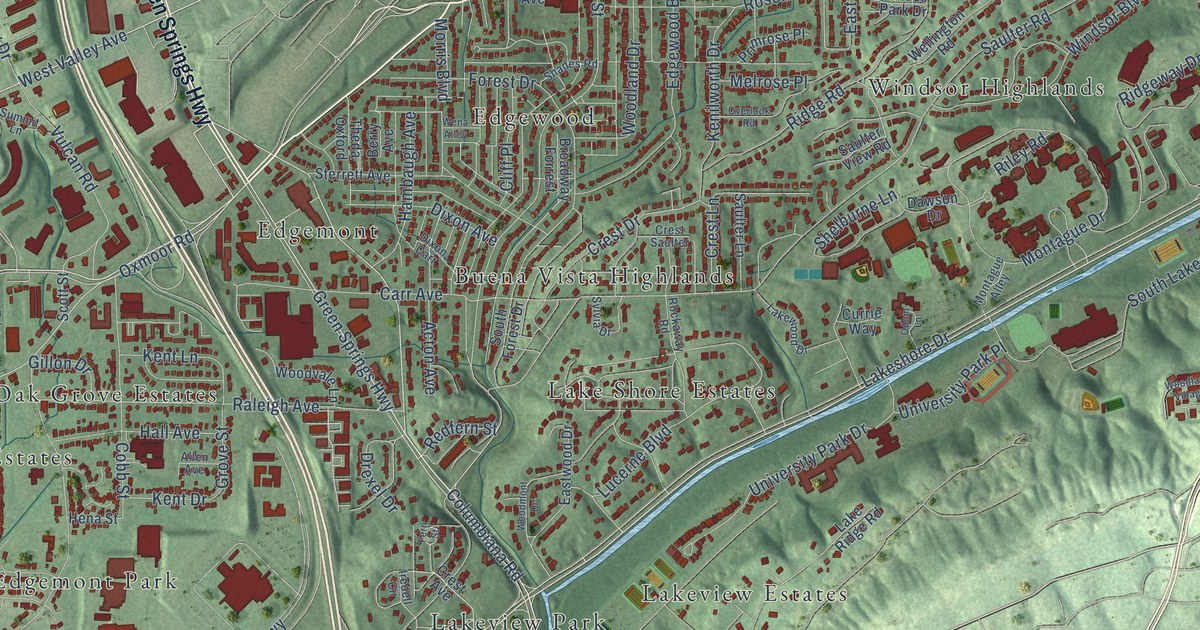
A detailed map of Homewood, Alabama, showing every building in its true location, the roads by name, and shaded topographical relief.
Read More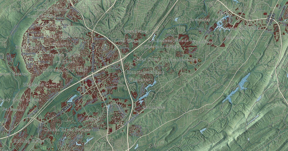
A detailed map of Hoover, Alabama, showing every building in its true location, the roads by name, and shaded topographical relief.
Read More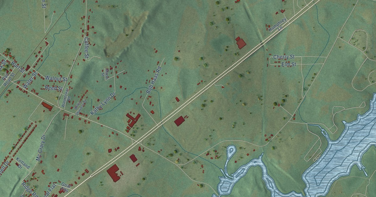
A detailed map of Hollywood, Alabama, showing every building in its true location, the roads by name, and shaded topographical relief.
Read More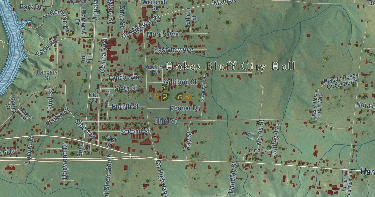
A detailed map of Hokes Bluff, Alabama, showing every building in its true location, the roads by name, and shaded topographical relief.
Read More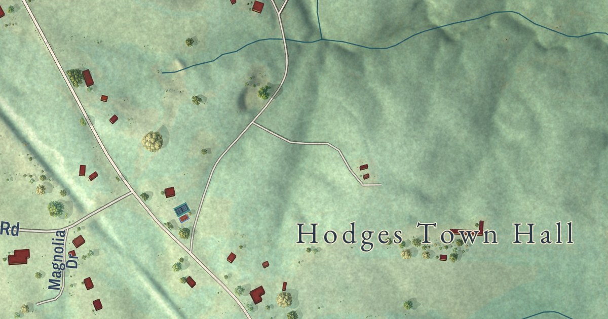
A detailed map of Hodges, Alabama, showing every building in its true location, the roads by name, and shaded topographical relief.
Read More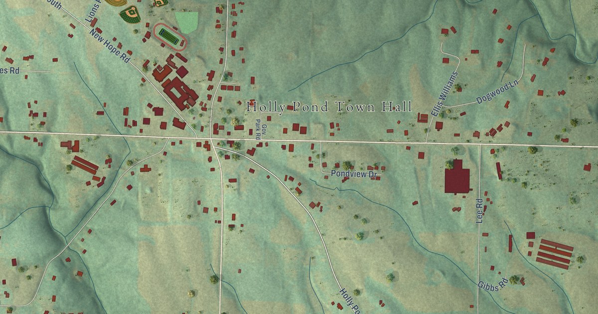
A detailed map of Holly Pond, Alabama, showing every building in its true location, the roads by name, and shaded topographical relief.
Read More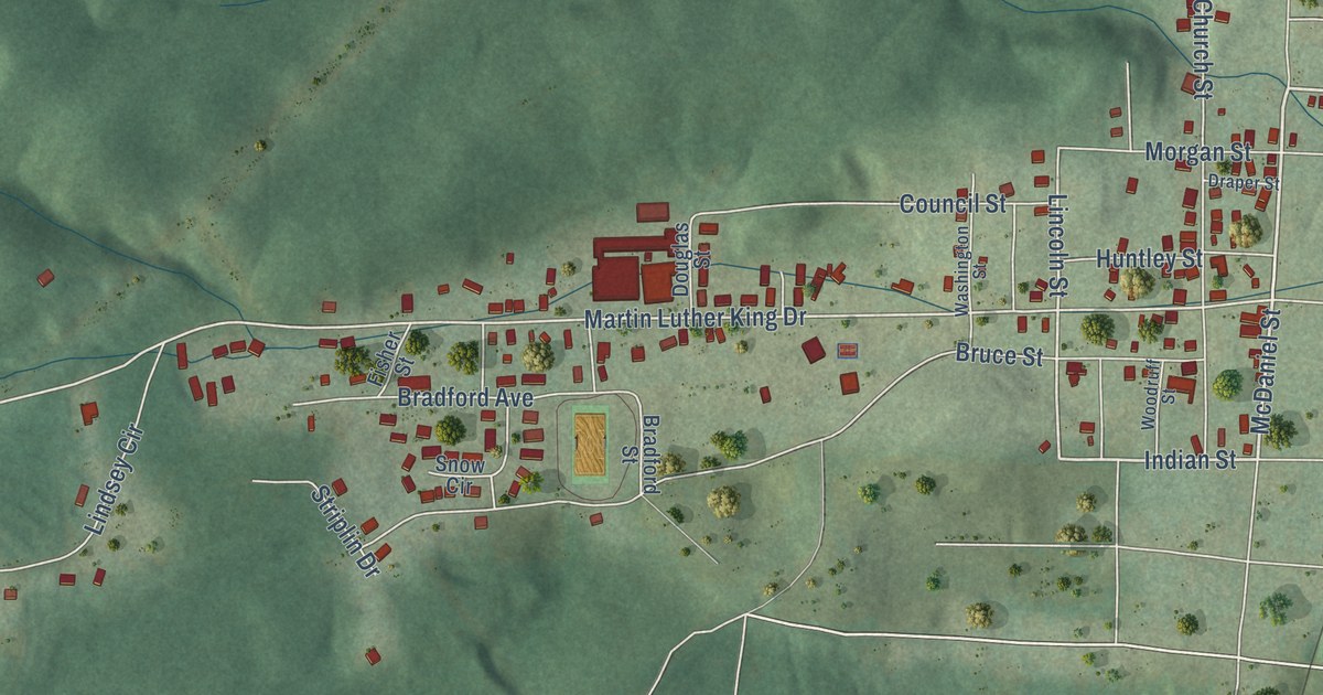
A detailed map of Hobson City, Alabama, showing every building in its true location, the roads by name, and shaded topographical relief.
Read More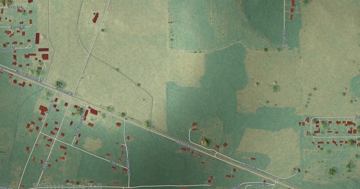
A detailed map of Hillsboro, Alabama, showing every building in its true location, the roads by name, and shaded topographical relief.
Read More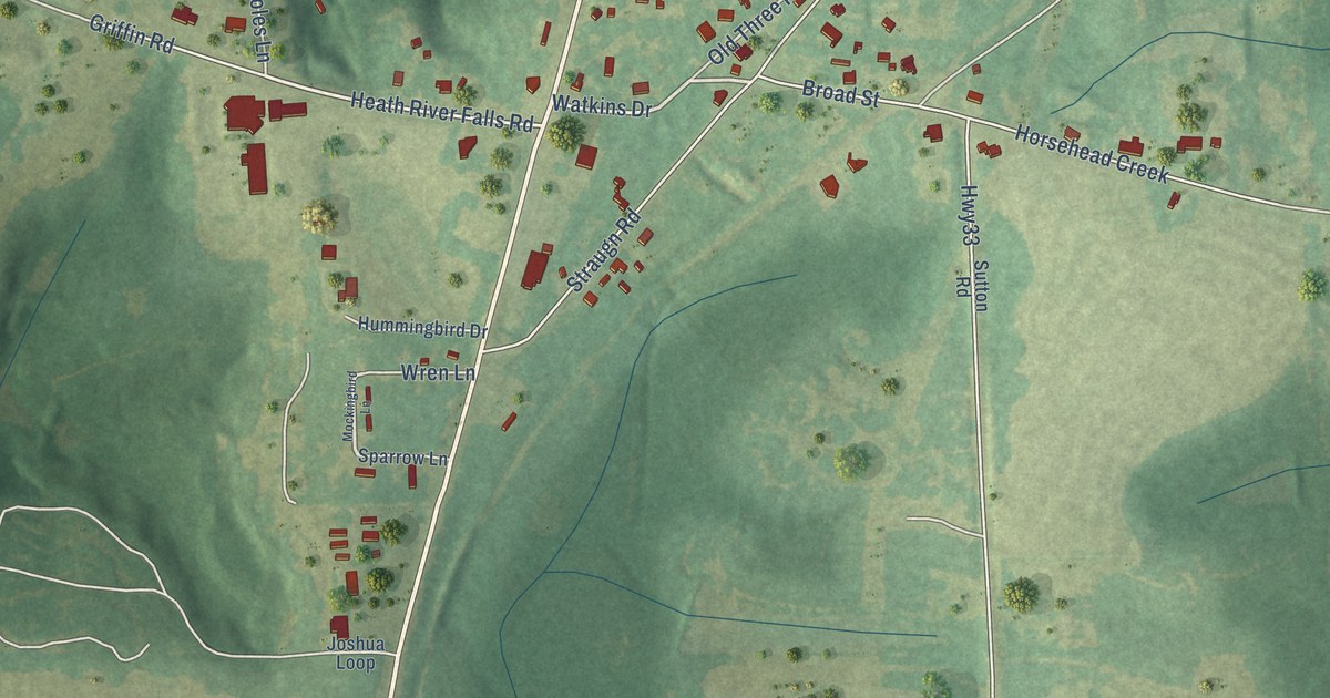
A detailed map of Heath, Alabama, showing every building in its true location, the roads by name, and shaded topographical relief.
Read More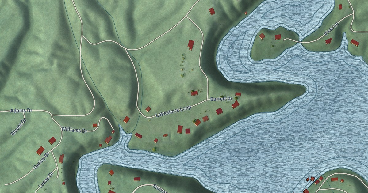
A detailed map of Highland Lake, Alabama, showing every building in its true location, the roads by name, and shaded topographical relief.
Read More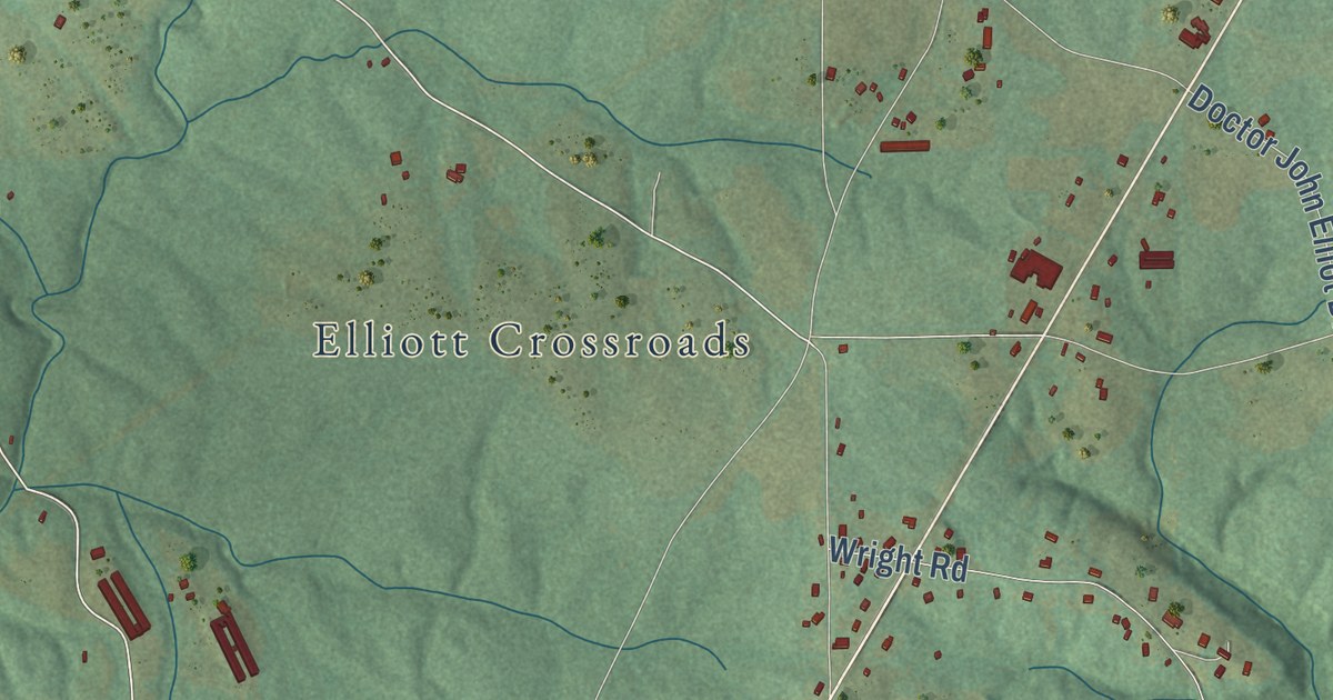
A detailed map of Henagar, Alabama, showing every building in its true location, the roads by name, and shaded topographical relief.
Read More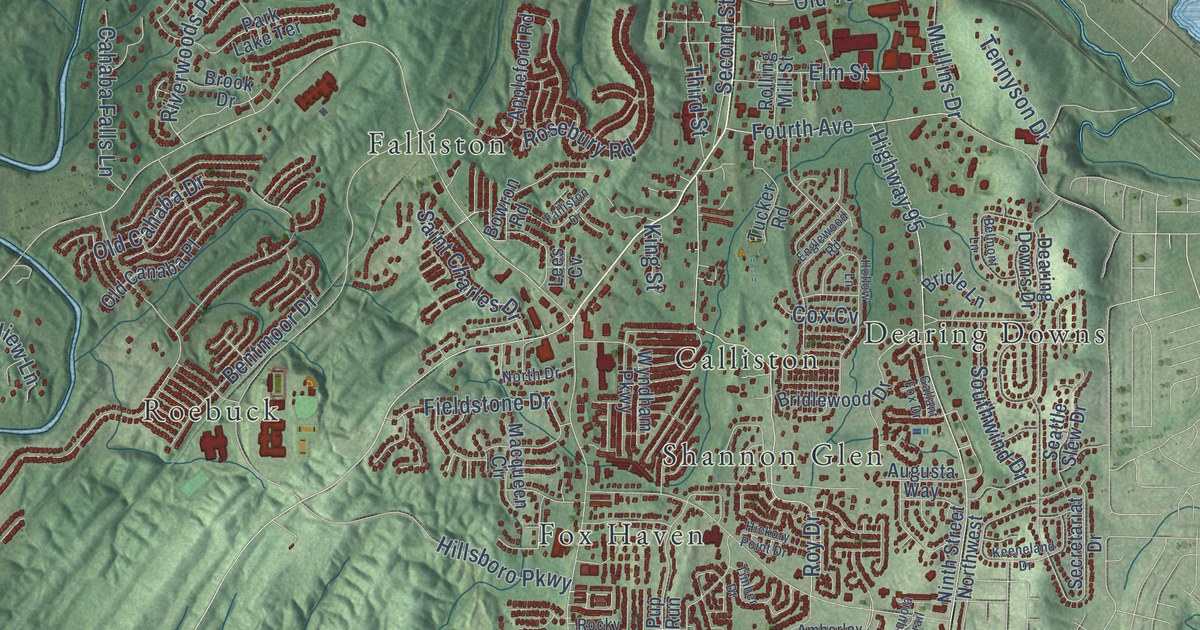
A detailed map of Helena, Alabama, showing every building in its true location, the roads by name, and shaded topographical relief.
Read More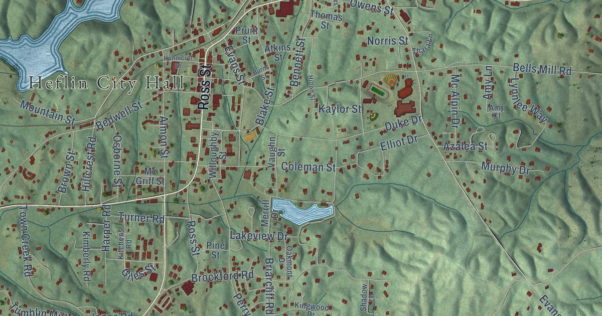
A detailed map of Heflin, Alabama, showing every building in its true location, the roads by name, and shaded topographical relief.
Read More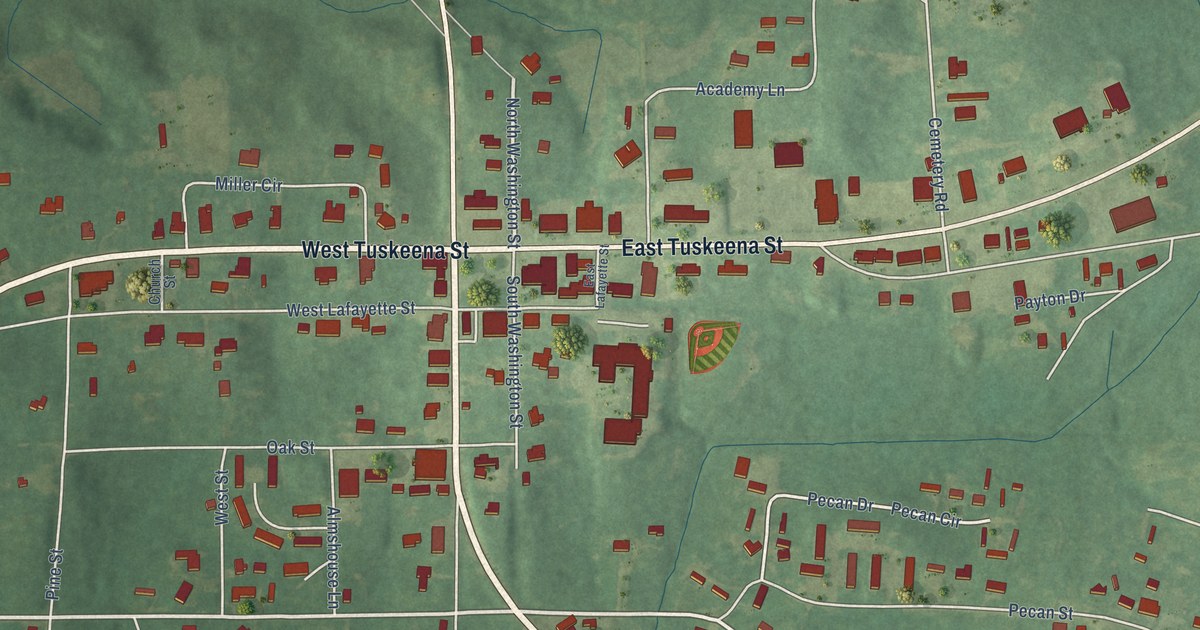
A detailed map of Hayneville, Alabama, showing every building in its true location, the roads by name, and shaded topographical relief.
Read More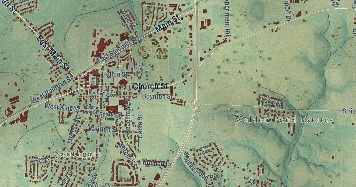
A detailed map of Headland, Alabama, showing every building in its true location, the roads by name, and shaded topographical relief.
Read More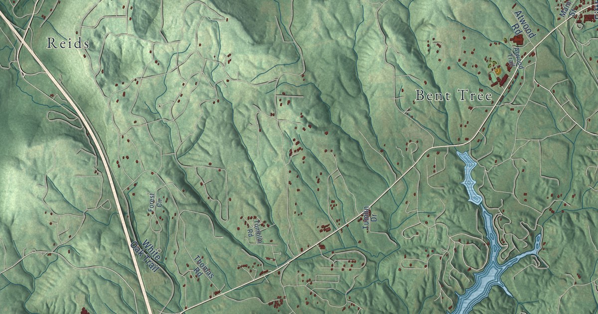
A detailed map of Hayden, Alabama, showing every building in its true location, the roads by name, and shaded topographical relief.
Read More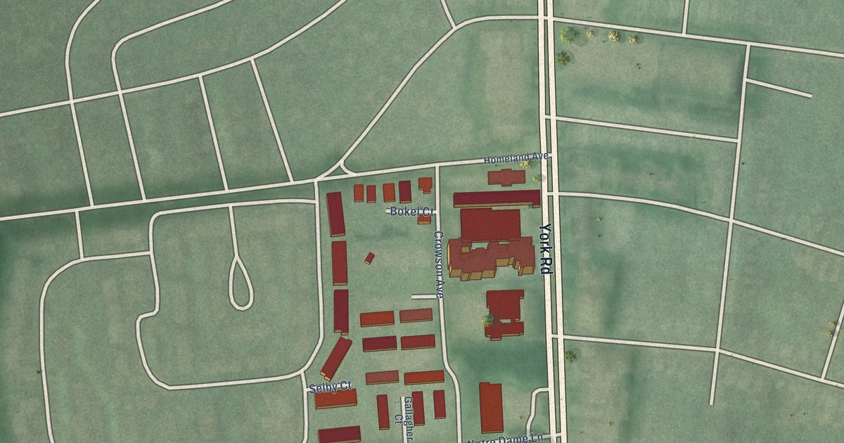
A detailed map of York-Homeland, Maryland, showing every building in its true location, the roads by name, and shaded topographical relief.
Read More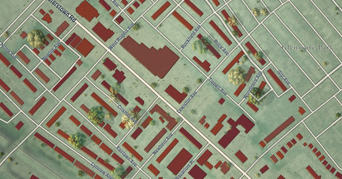
A detailed map of Woodmere, Maryland, showing every building in its true location, the roads by name, and shaded topographical relief.
Read More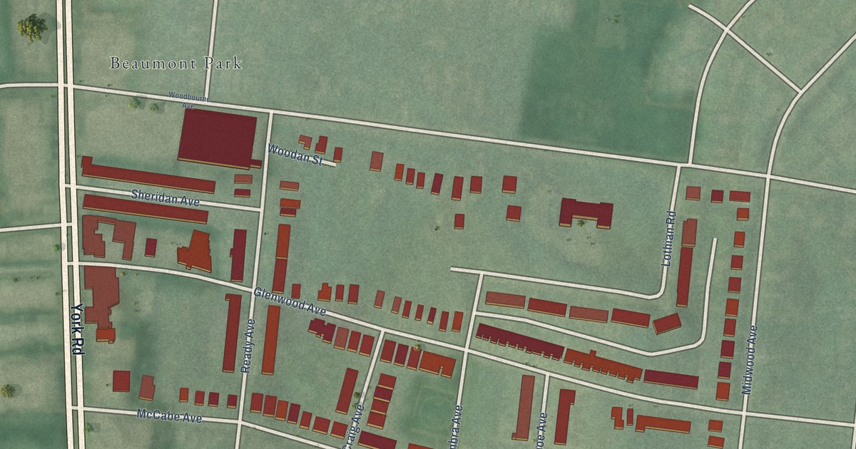
A detailed map of Woodbourne-McCabe, Maryland, showing every building in its true location, the roads by name, and shaded topographical relief.
Read More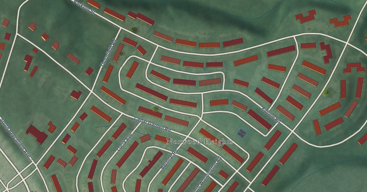
A detailed map of Yale Heights, Maryland, showing every building in its true location, the roads by name, and shaded topographical relief.
Read More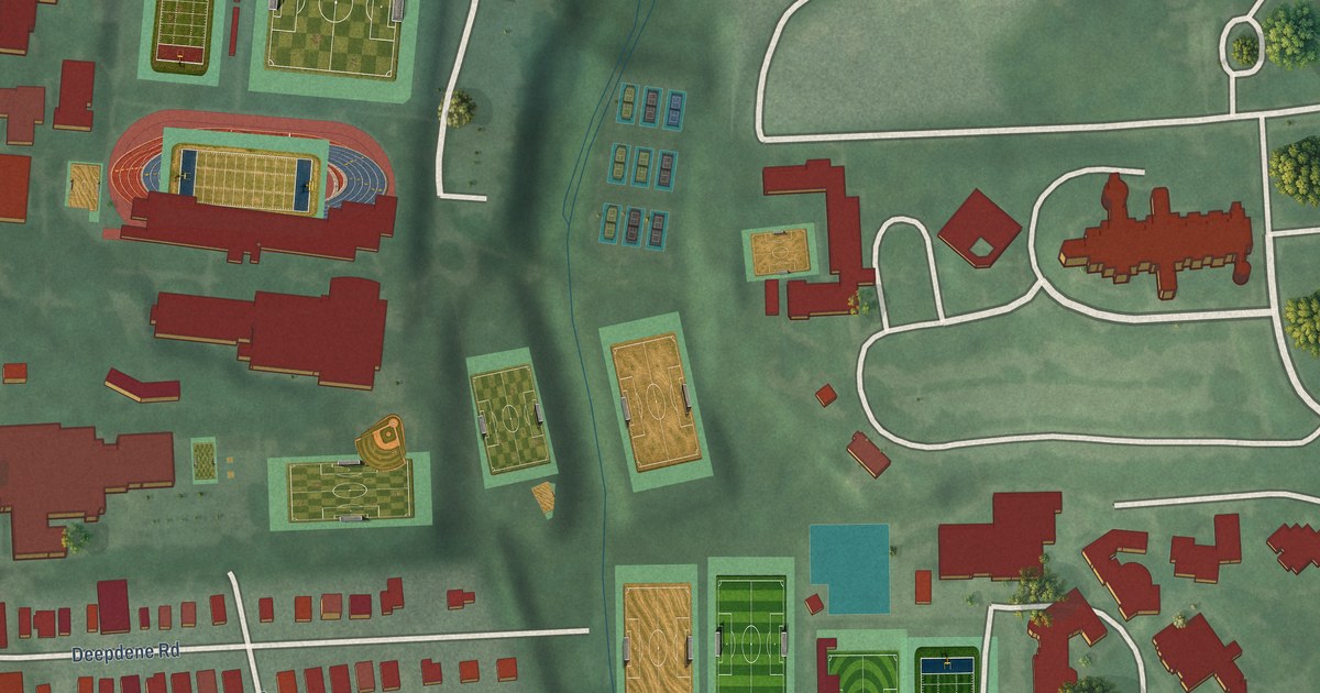
A detailed map of Wyndhurst, Maryland, showing every building in its true location, the roads by name, and shaded topographical relief.
Read More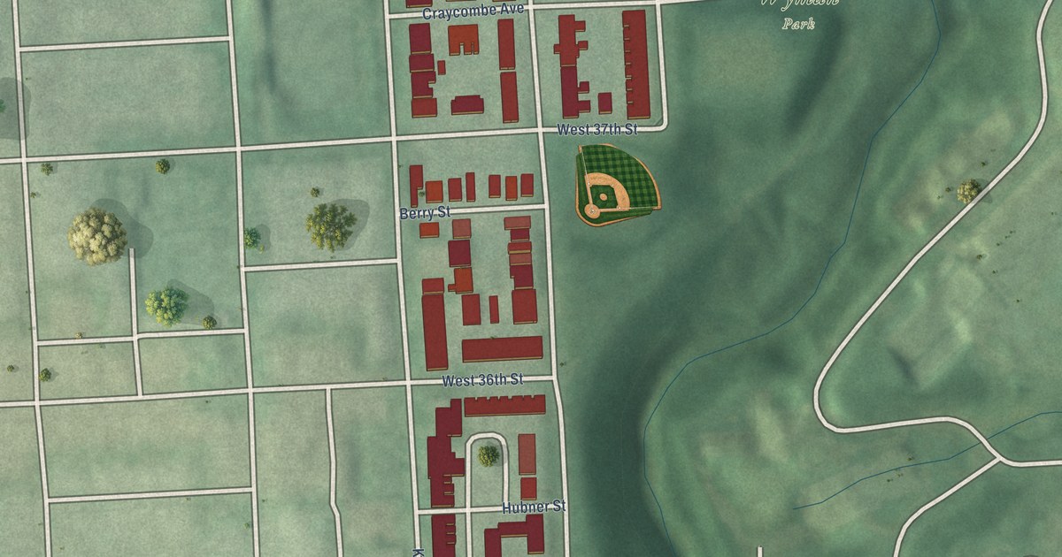
A detailed map of Wyman Park, Maryland, showing every building in its true location, the roads by name, and shaded topographical relief.
Read More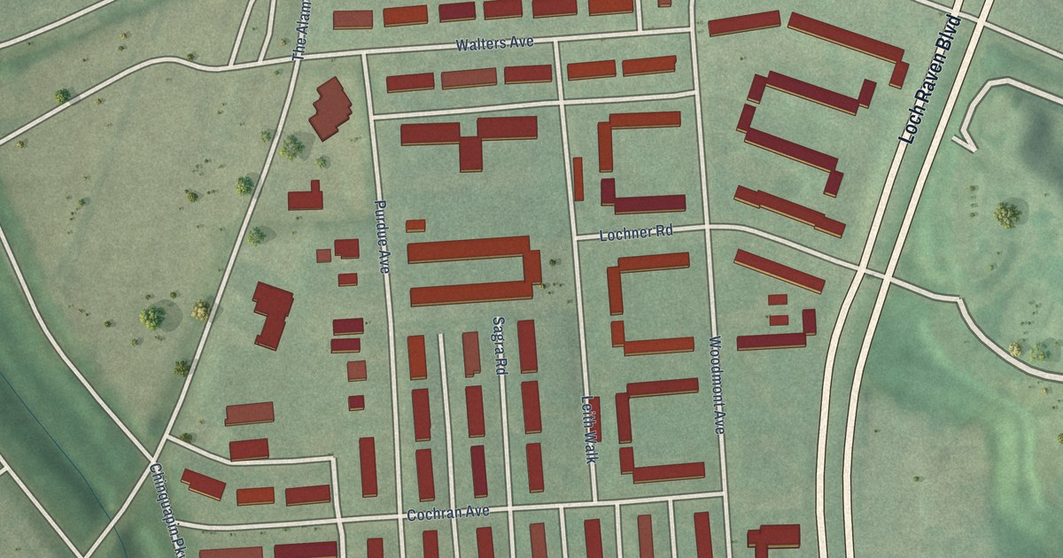
A detailed map of Woodbourne Heights, Maryland, showing every building in its true location, the roads by name, and shaded topographical relief.
Read More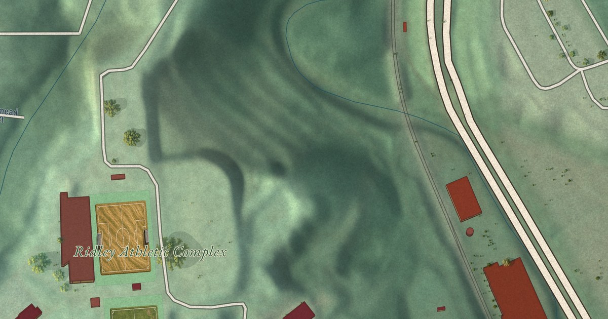
A detailed map of Woodberry, Maryland, showing every building in its true location, the roads by name, and shaded topographical relief.
Read More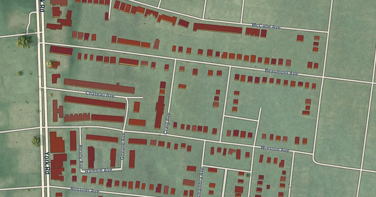
A detailed map of Winston-Govans, Maryland, showing every building in its true location, the roads by name, and shaded topographical relief.
Read More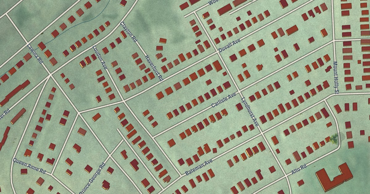
A detailed map of Windsor Hills, Maryland, showing every building in its true location, the roads by name, and shaded topographical relief.
Read More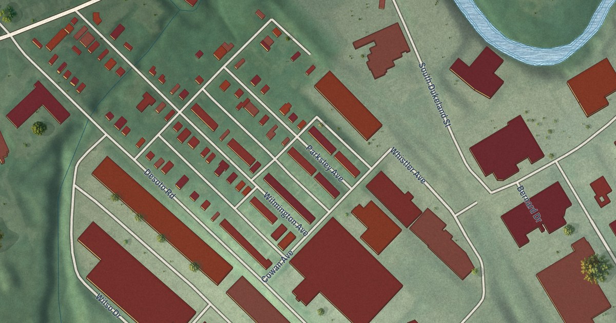
A detailed map of Wilhelm Park, Maryland, showing every building in its true location, the roads by name, and shaded topographical relief.
Read More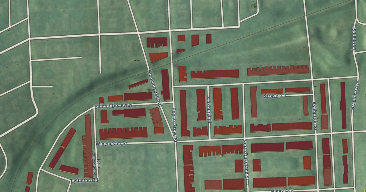
A detailed map of Winchester, Maryland, showing every building in its true location, the roads by name, and shaded topographical relief.
Read More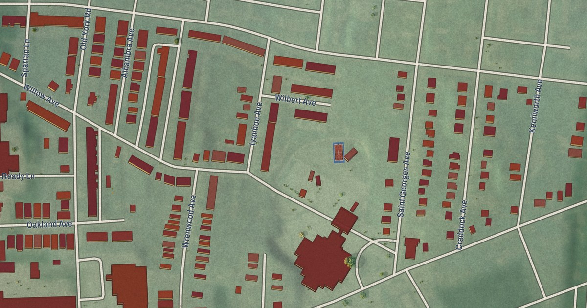
A detailed map of Wilson Park, Maryland, showing every building in its true location, the roads by name, and shaded topographical relief.
Read More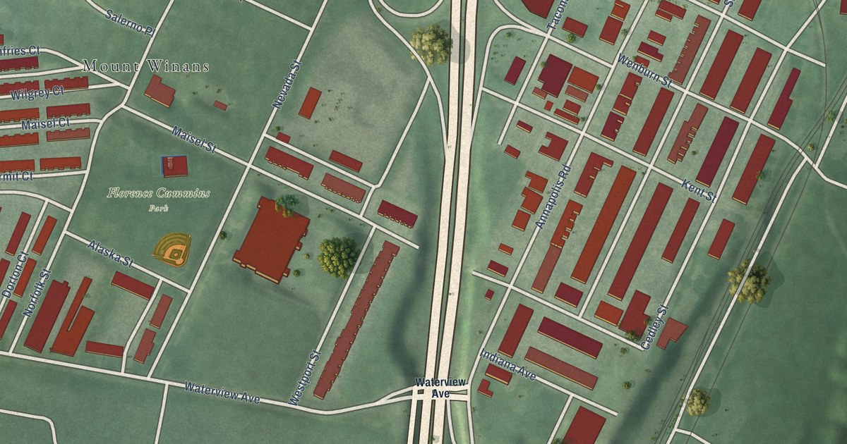
A detailed map of Westport, Maryland, showing every building in its true location, the roads by name, and shaded topographical relief.
Read More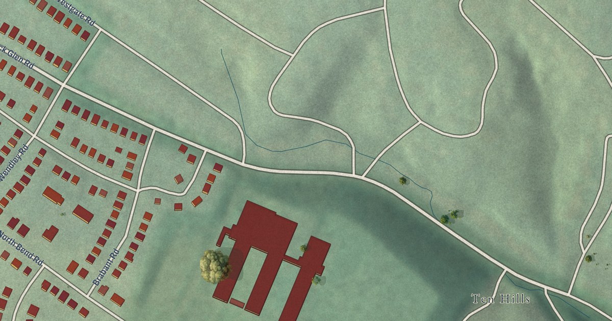
A detailed map of Westgate, Maryland, showing every building in its true location, the roads by name, and shaded topographical relief.
Read More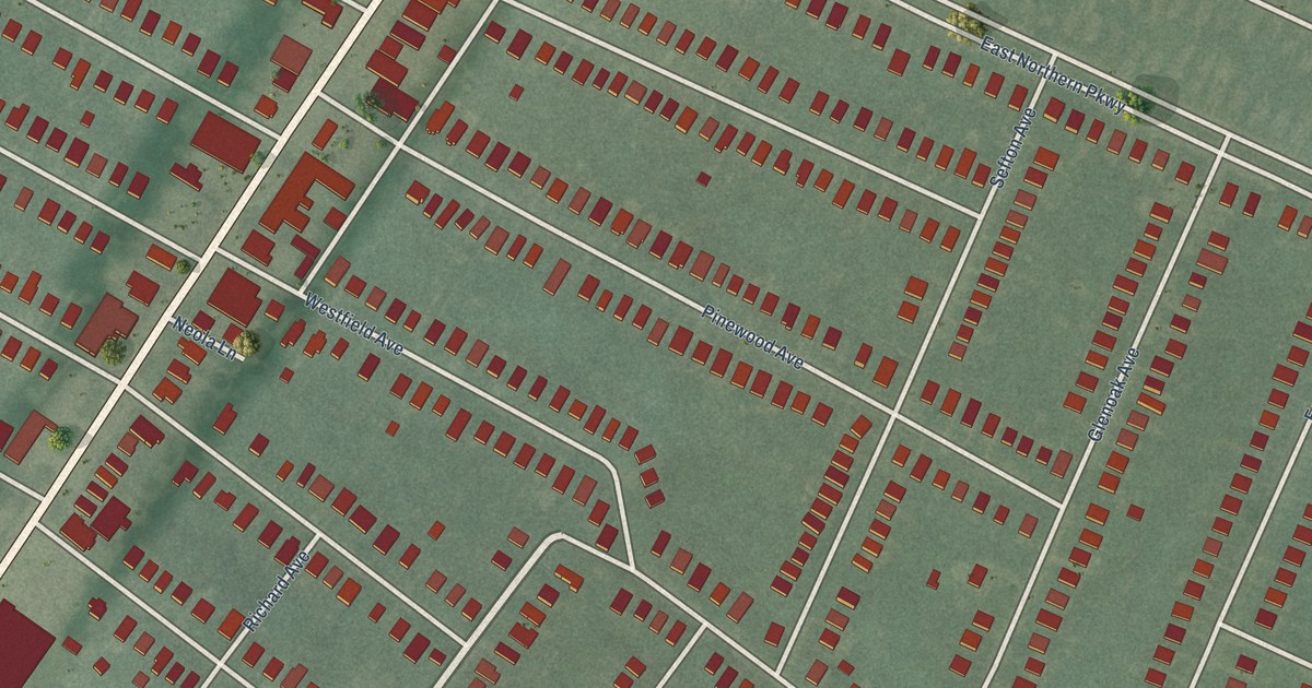
A detailed map of Westfield, Maryland, showing every building in its true location, the roads by name, and shaded topographical relief.
Read More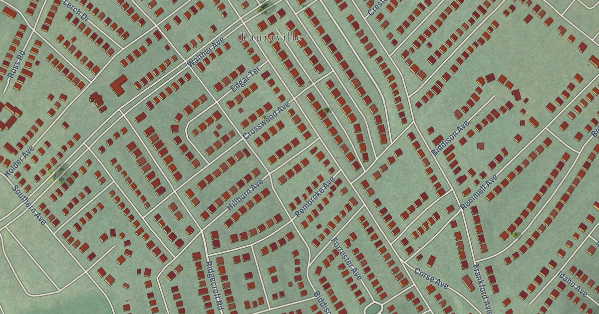
A detailed map of Waltherson, Maryland, showing every building in its true location, the roads by name, and shaded topographical relief.
Read More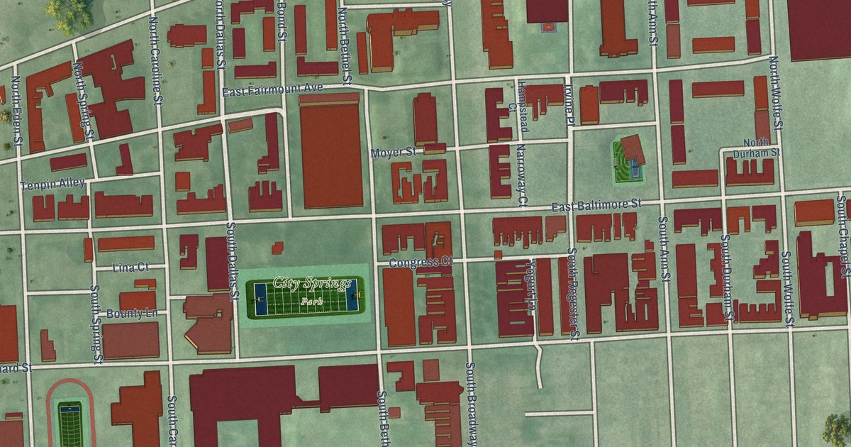
A detailed map of Washington Hill, Maryland, showing every building in its true location, the roads by name, and shaded topographical relief.
Read More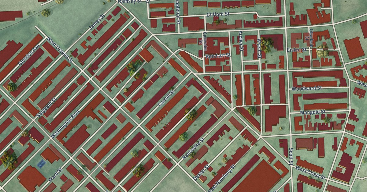
A detailed map of Washington Village/Pigtown, Maryland, showing every building in its true location, the roads by name, and shaded topographical relief.
Read More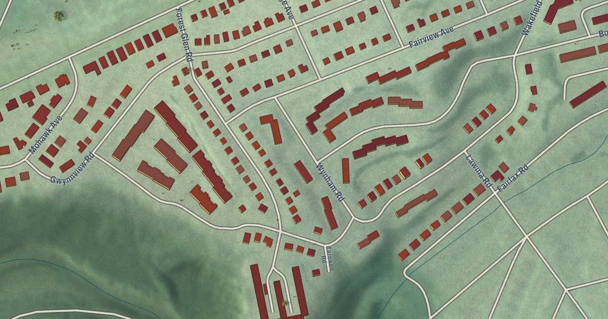
A detailed map of West Forest Park, Maryland, showing every building in its true location, the roads by name, and shaded topographical relief.
Read More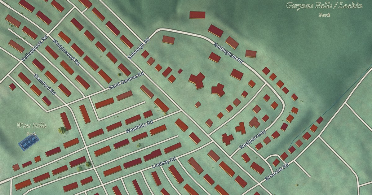
A detailed map of West Hills, Maryland, showing every building in its true location, the roads by name, and shaded topographical relief.
Read More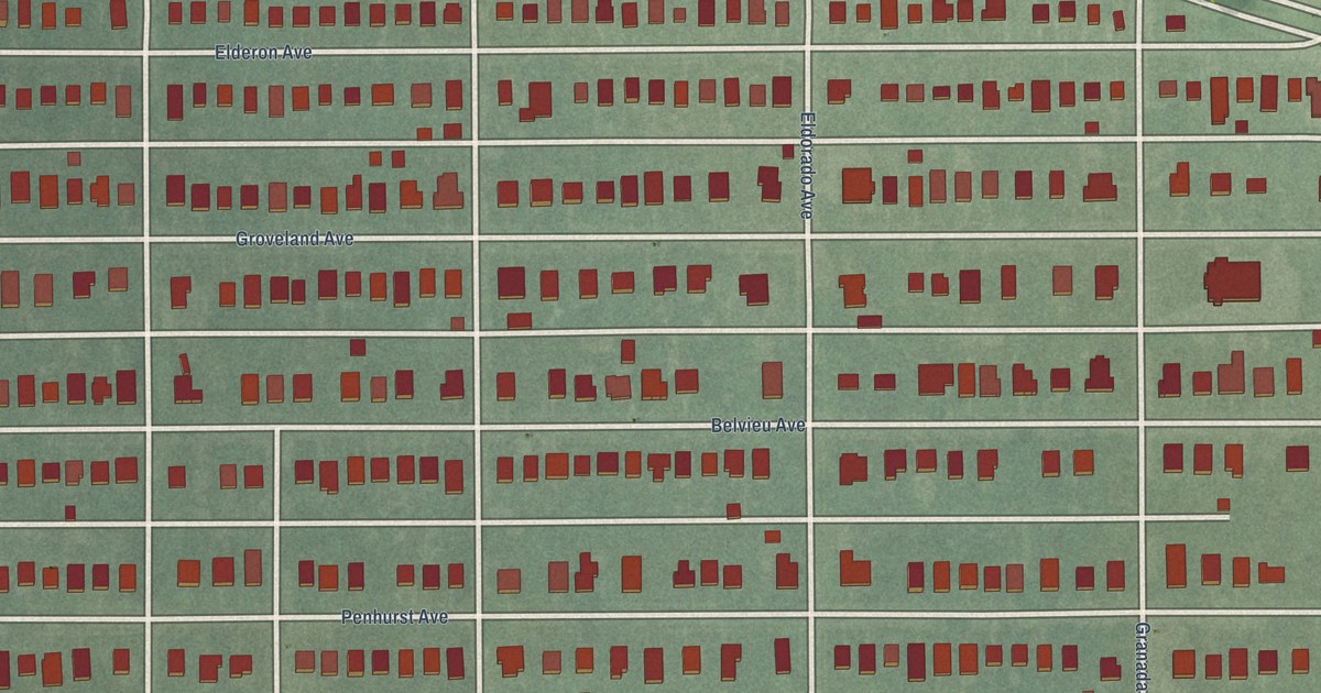
A detailed map of West Arlington, Maryland, showing every building in its true location, the roads by name, and shaded topographical relief.
Read More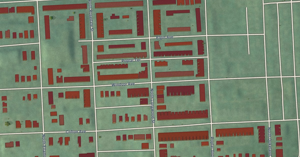
A detailed map of Walbrook, Maryland, showing every building in its true location, the roads by name, and shaded topographical relief.
Read More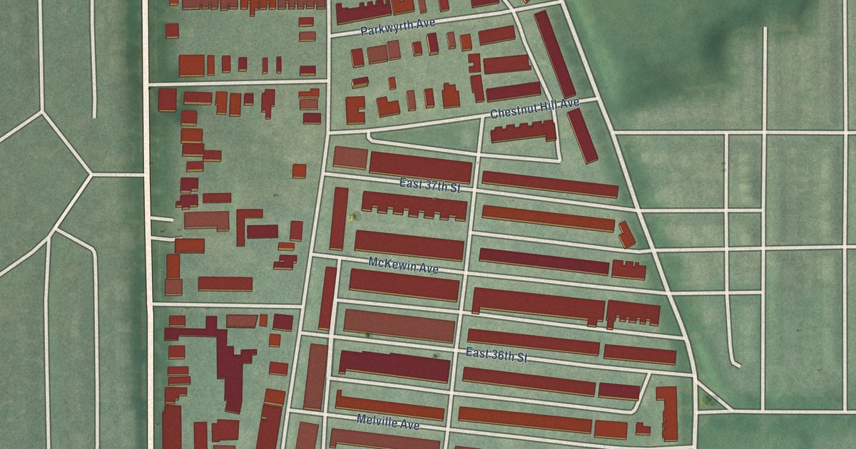
A detailed map of Waverly, Maryland, showing every building in its true location, the roads by name, and shaded topographical relief.
Read More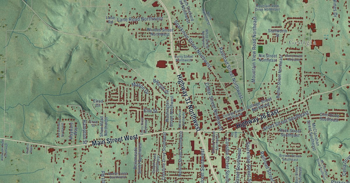
A detailed map of Hartselle, Alabama, showing every building in its true location, the roads by name, and shaded topographical relief.
Read More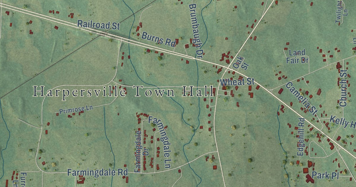
A detailed map of Harpersville, Alabama, showing every building in its true location, the roads by name, and shaded topographical relief.
Read More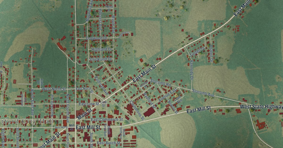
A detailed map of Hartford, Alabama, showing every building in its true location, the roads by name, and shaded topographical relief.
Read More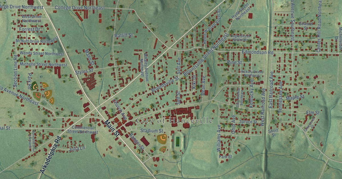
A detailed map of Hanceville, Alabama, showing every building in its true location, the roads by name, and shaded topographical relief.
Read More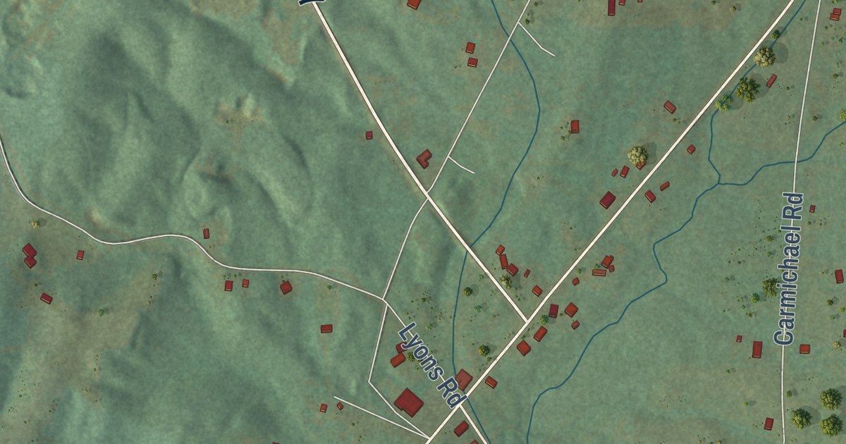
A detailed map of Hammondville, Alabama, showing every building in its true location, the roads by name, and shaded topographical relief.
Read More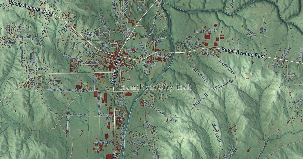
A detailed map of Hamilton, Alabama, showing every building in its true location, the roads by name, and shaded topographical relief.
Read More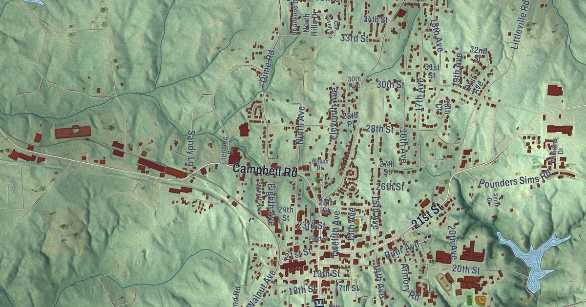
A detailed map of Haleyville, Alabama, showing every building in its true location, the roads by name, and shaded topographical relief.
Read More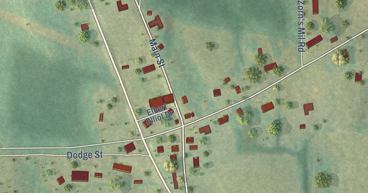
A detailed map of Haleburg, Alabama, showing every building in its true location, the roads by name, and shaded topographical relief.
Read More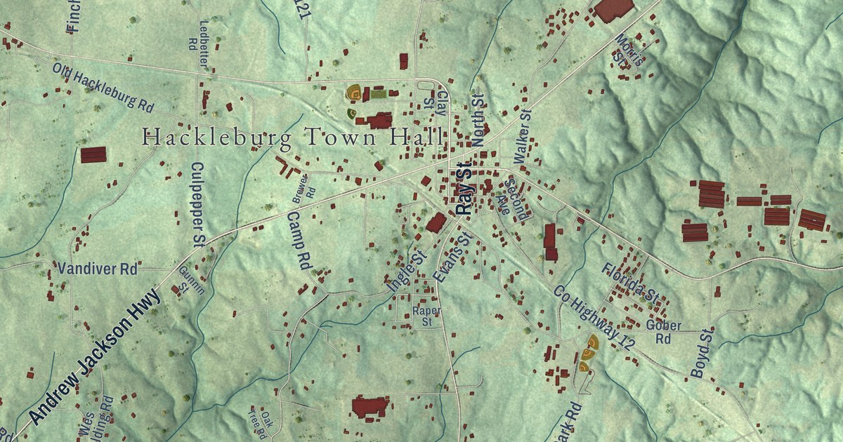
A detailed map of Hackleburg, Alabama, showing every building in its true location, the roads by name, and shaded topographical relief.
Read More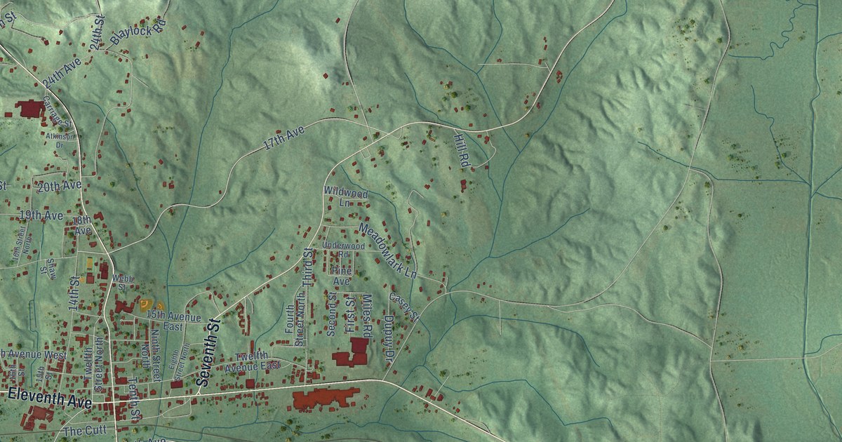
A detailed map of Guin, Alabama, showing every building in its true location, the roads by name, and shaded topographical relief.
Read More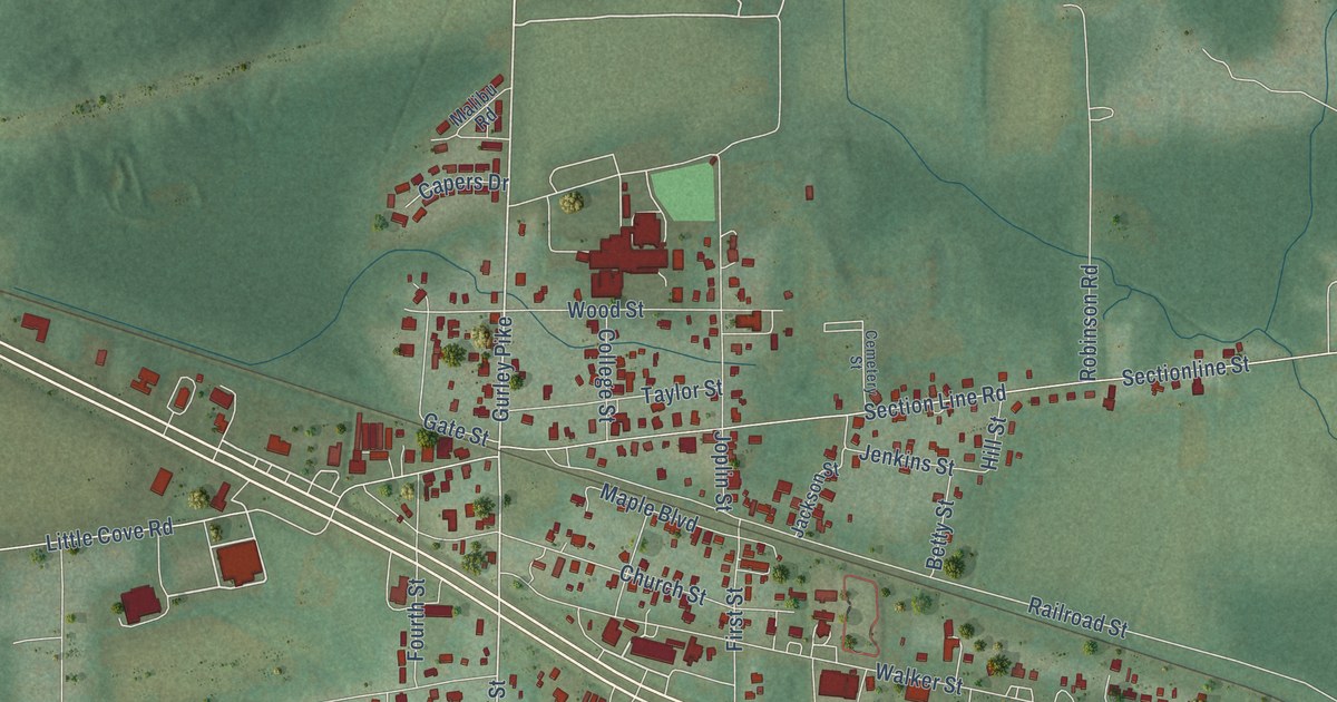
A detailed map of Gurley, Alabama, showing every building in its true location, the roads by name, and shaded topographical relief.
Read More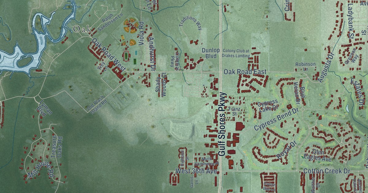
A detailed map of Gulf Shores, Alabama, showing every building in its true location, the roads by name, and shaded topographical relief.
Read More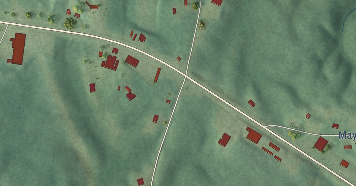
A detailed map of Gu-Win, Alabama, showing every building in its true location, the roads by name, and shaded topographical relief.
Read More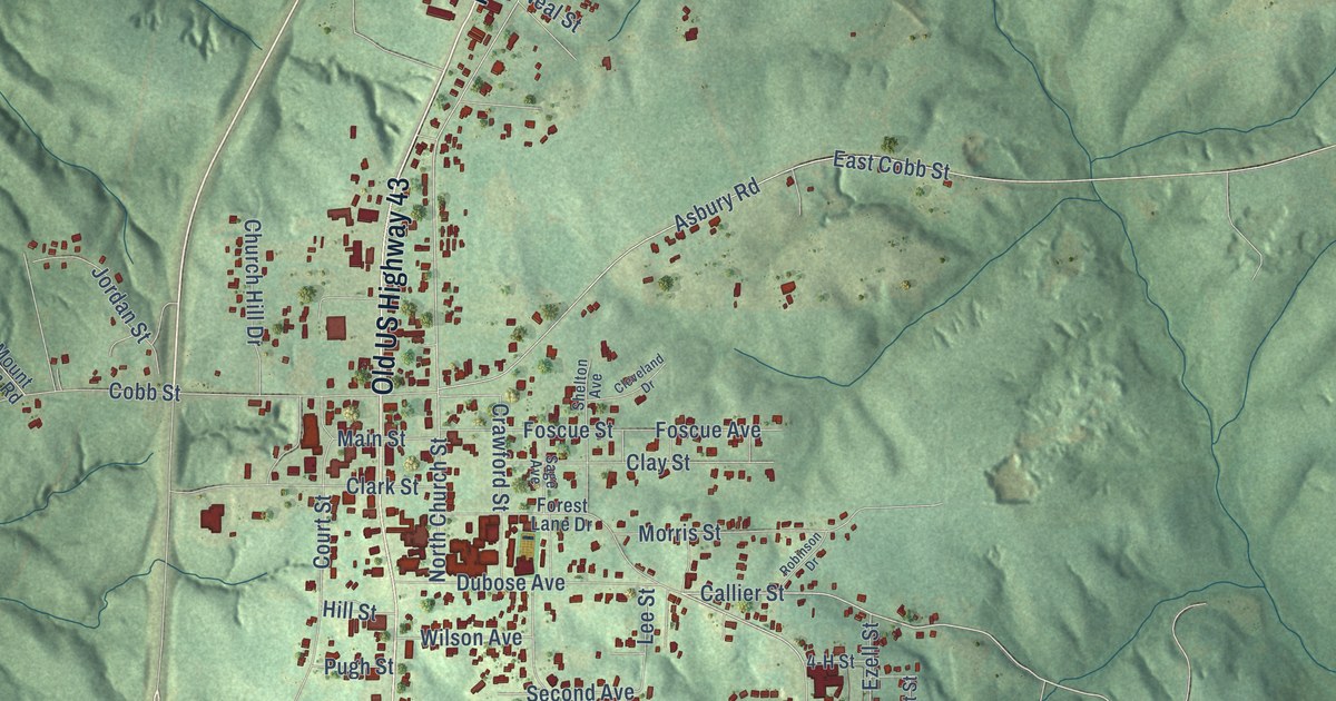
A detailed map of Grove Hill, Alabama, showing every building in its true location, the roads by name, and shaded topographical relief.
Read More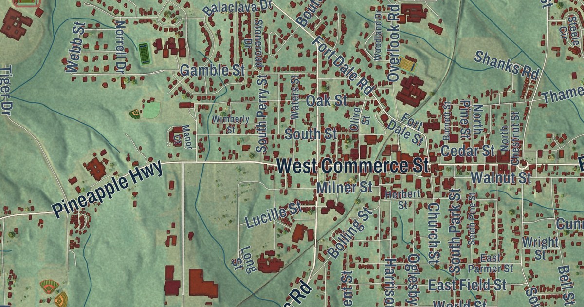
A detailed map of Greenville, Alabama, showing every building in its true location, the roads by name, and shaded topographical relief.
Read More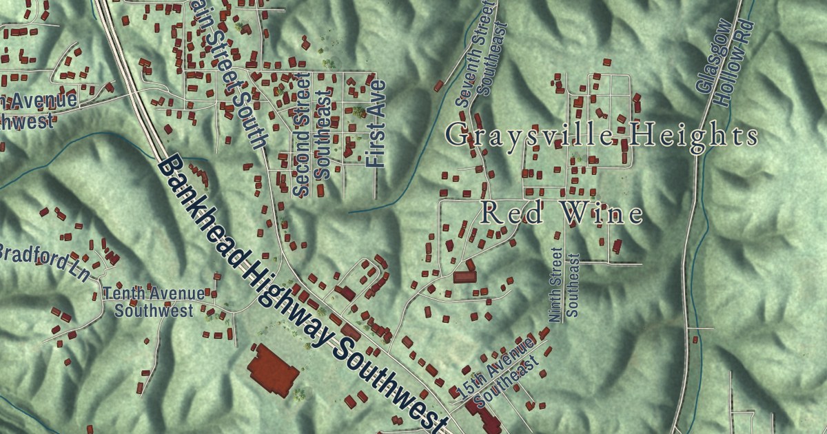
A detailed map of Graysville, Alabama, showing every building in its true location, the roads by name, and shaded topographical relief.
Read More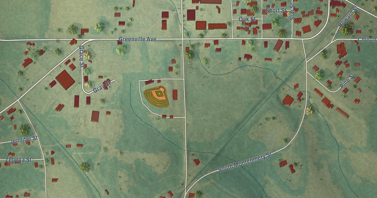
A detailed map of Goshen, Alabama, showing every building in its true location, the roads by name, and shaded topographical relief.
Read More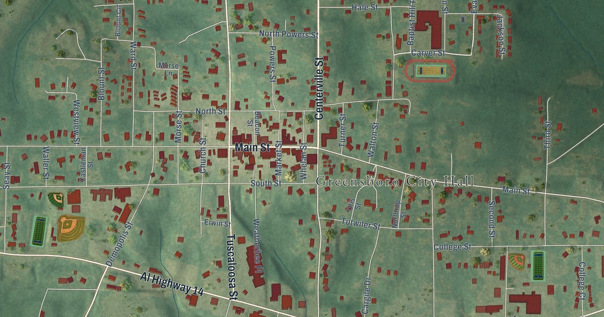
A detailed map of Greensboro, Alabama, showing every building in its true location, the roads by name, and shaded topographical relief.
Read More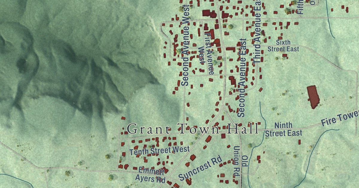
A detailed map of Grant, Alabama, showing every building in its true location, the roads by name, and shaded topographical relief.
Read More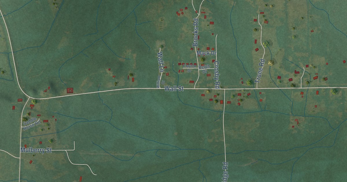
A detailed map of Gordonville, Alabama, showing every building in its true location, the roads by name, and shaded topographical relief.
Read More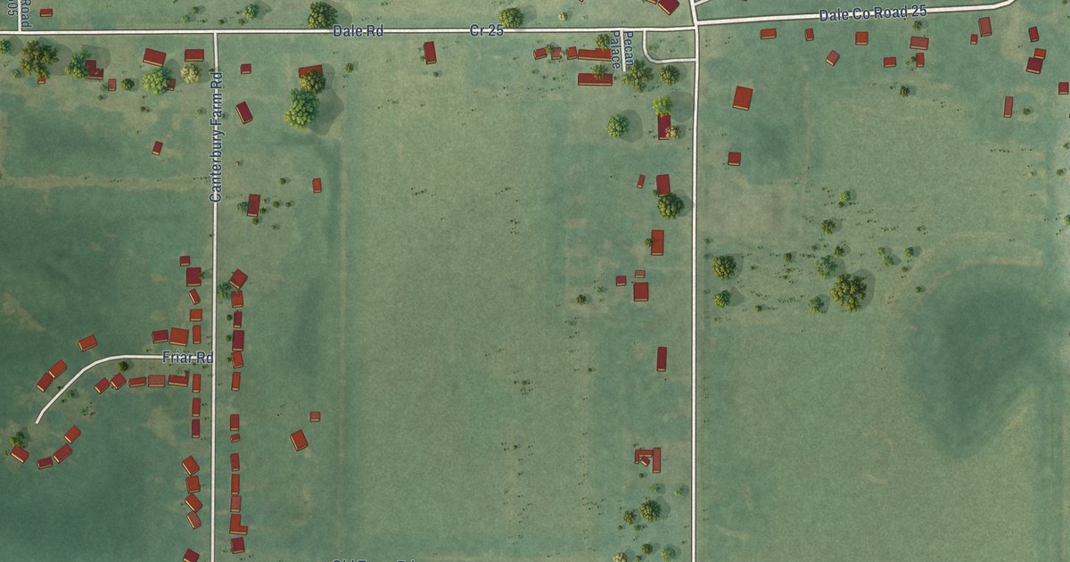
A detailed map of Grimes, Alabama, showing every building in its true location, the roads by name, and shaded topographical relief.
Read More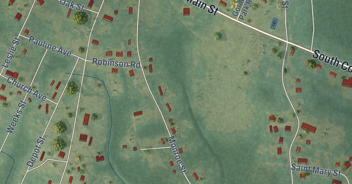
A detailed map of Gordon, Alabama, showing every building in its true location, the roads by name, and shaded topographical relief.
Read More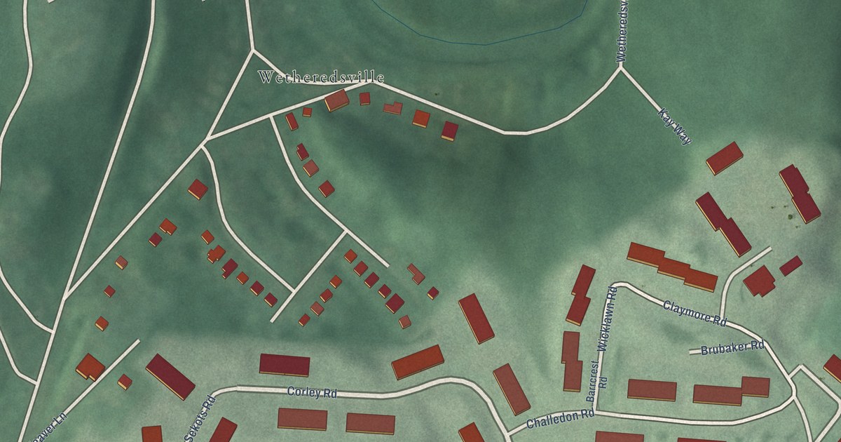
A detailed map of Wakefield, Maryland, showing every building in its true location, the roads by name, and shaded topographical relief.
Read More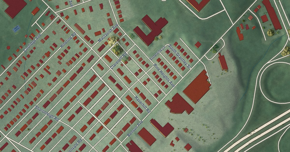
A detailed map of Violetville, Maryland, showing every building in its true location, the roads by name, and shaded topographical relief.
Read More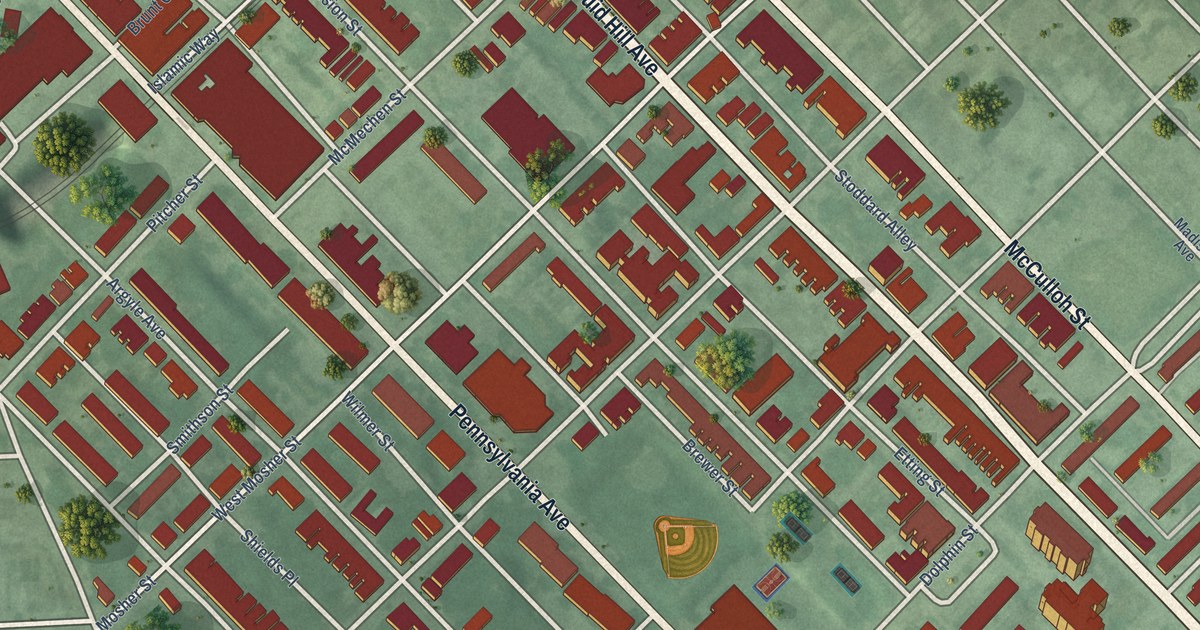
A detailed map of Upton, Maryland, showing every building in its true location, the roads by name, and shaded topographical relief.
Read More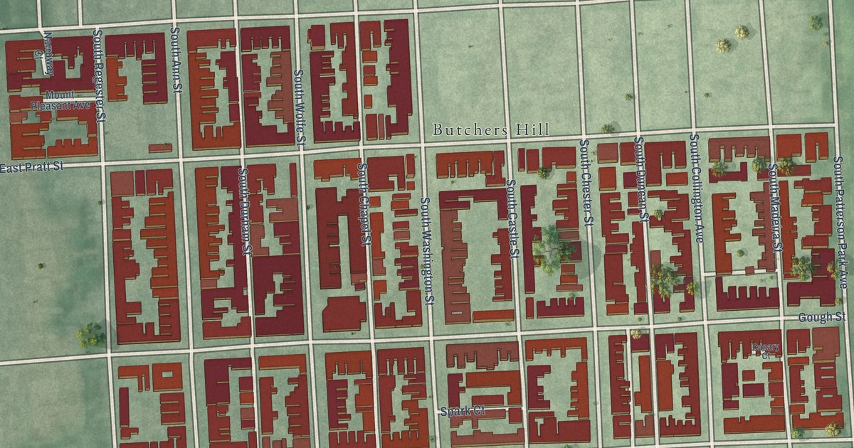
A detailed map of Upper Fells Point, Maryland, showing every building in its true location, the roads by name, and shaded topographical relief.
Read More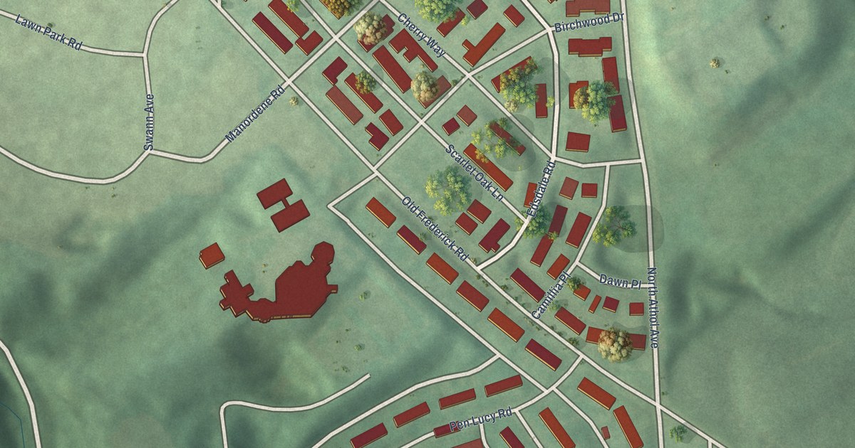
A detailed map of Uplands, Maryland, showing every building in its true location, the roads by name, and shaded topographical relief.
Read More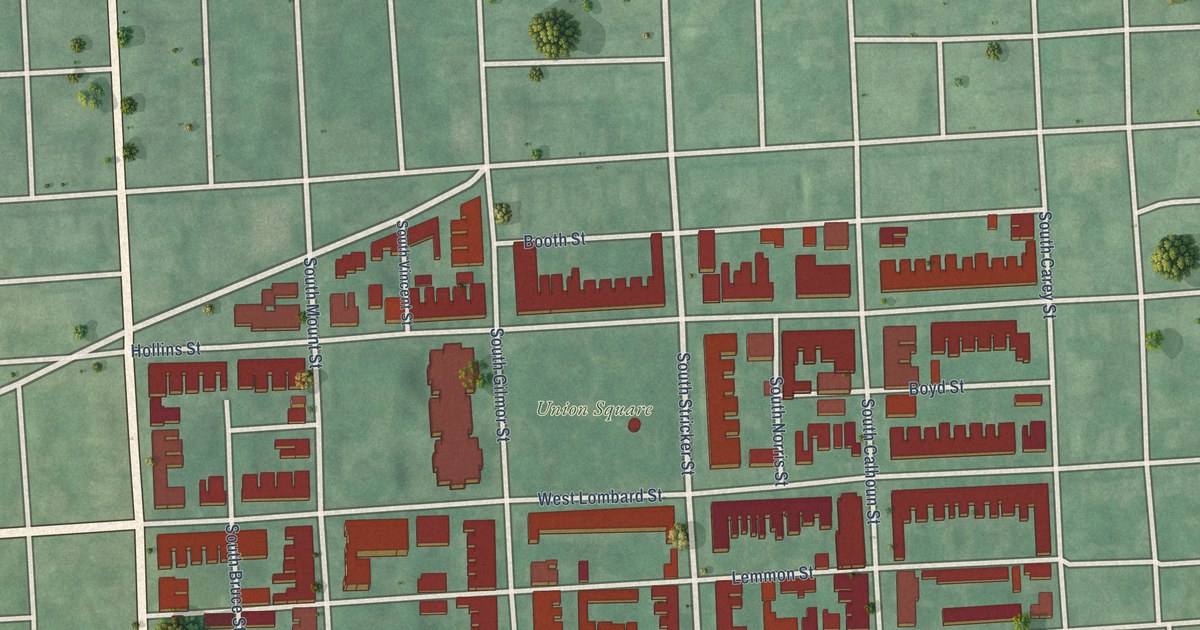
A detailed map of Union Square, Maryland, showing every building in its true location, the roads by name, and shaded topographical relief.
Read More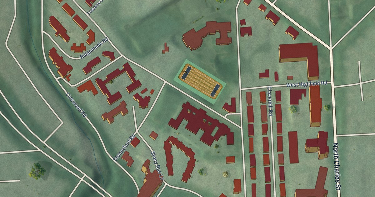
A detailed map of Tuscany-Canterbury, Maryland, showing every building in its true location, the roads by name, and shaded topographical relief.
Read More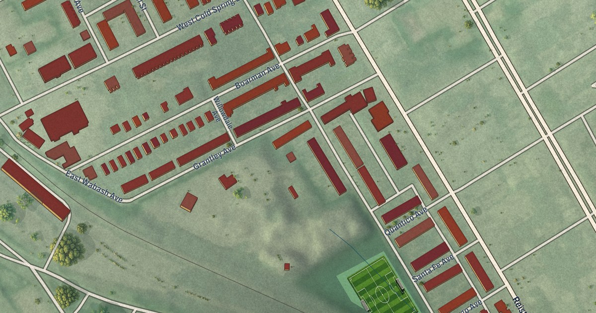
A detailed map of Towanda-Grantley, Maryland, showing every building in its true location, the roads by name, and shaded topographical relief.
Read More















