Detailed Map of Ontelaunee, Pennsylvania
A detailed map of Ontelaunee, Pennsylvania, showing every building in its true location, the roads by name, and shaded topographical relief.
Read More
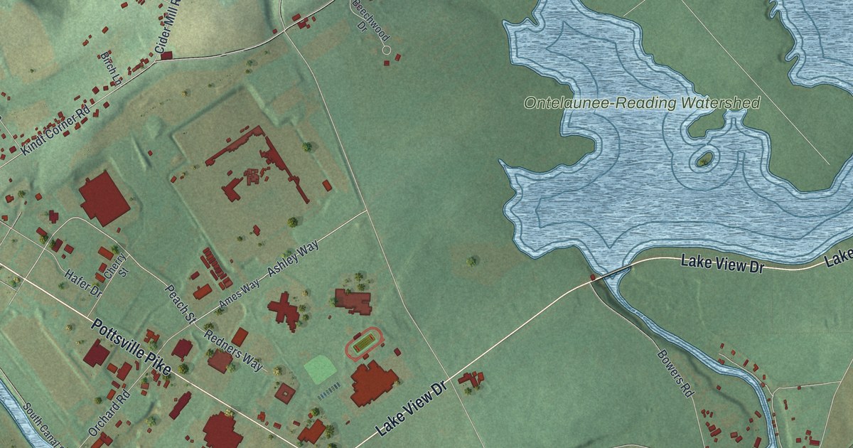
A detailed map of Ontelaunee, Pennsylvania, showing every building in its true location, the roads by name, and shaded topographical relief.
Read More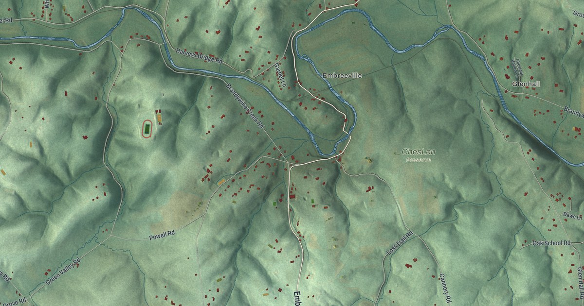
A detailed map of Newlin, Pennsylvania, showing every building in its true location, the roads by name, and shaded topographical relief.
Read More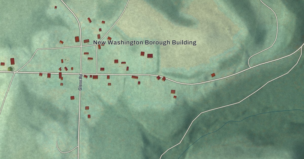
A detailed map of New Washington, Pennsylvania, showing every building in its true location, the roads by name, and shaded topographical relief.
Read More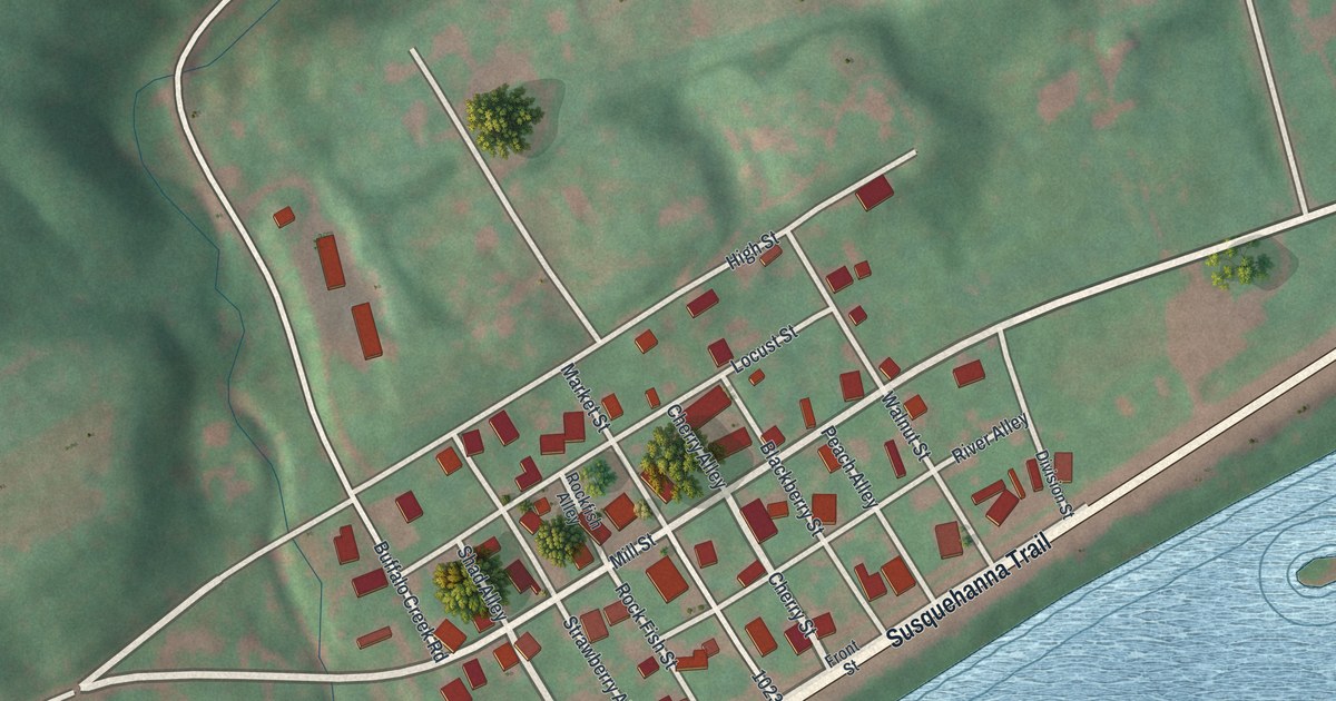
A detailed map of New Buffalo, Pennsylvania, showing every building in its true location, the roads by name, and shaded topographical relief.
Read More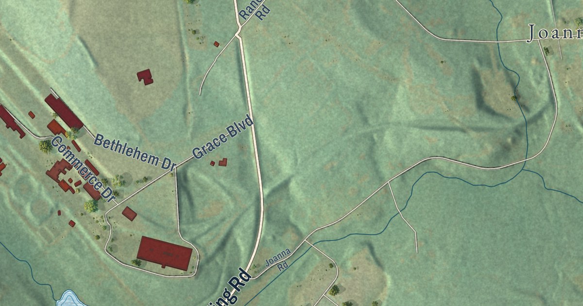
A detailed map of New Morgan, Pennsylvania, showing every building in its true location, the roads by name, and shaded topographical relief.
Read More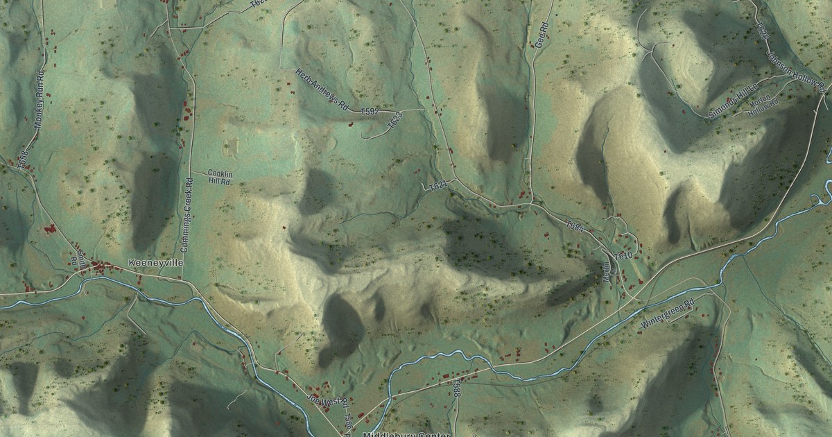
A detailed map of Middlebury, Pennsylvania, showing every building in its true location, the roads by name, and shaded topographical relief.
Read More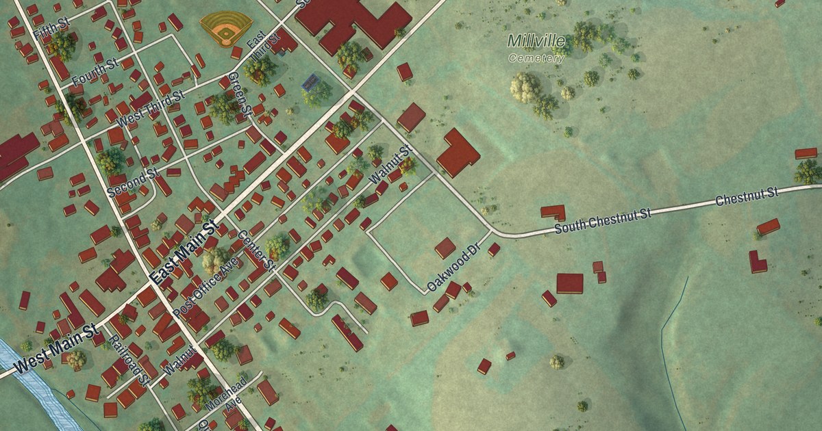
A detailed map of Millville, Pennsylvania, showing every building in its true location, the roads by name, and shaded topographical relief.
Read More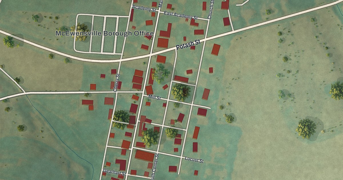
A detailed map of McEwensville, Pennsylvania, showing every building in its true location, the roads by name, and shaded topographical relief.
Read More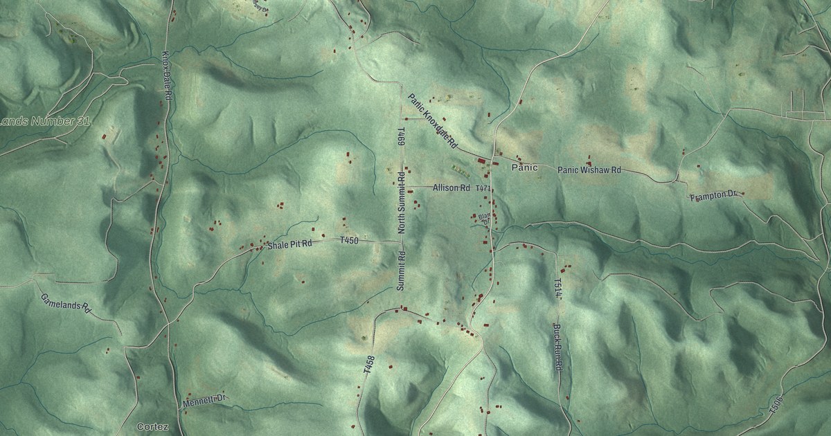
A detailed map of McCalmont, Pennsylvania, showing every building in its true location, the roads by name, and shaded topographical relief.
Read More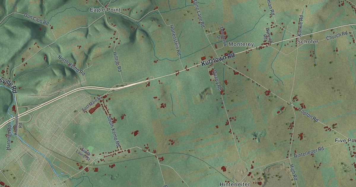
A detailed map of Maxatawny, Pennsylvania, showing every building in its true location, the roads by name, and shaded topographical relief.
Read More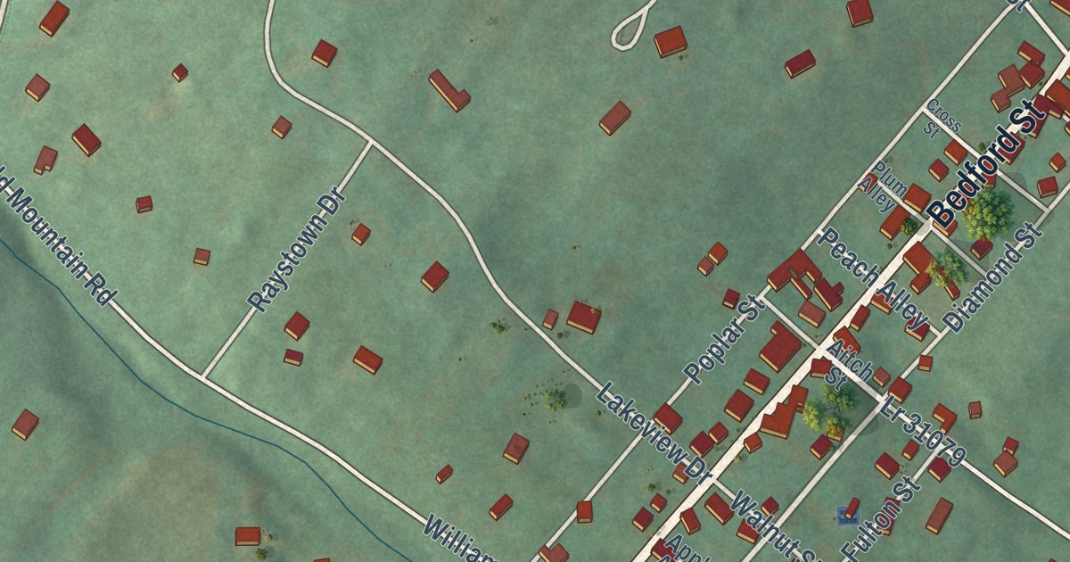
A detailed map of Marklesburg, Pennsylvania, showing every building in its true location, the roads by name, and shaded topographical relief.
Read More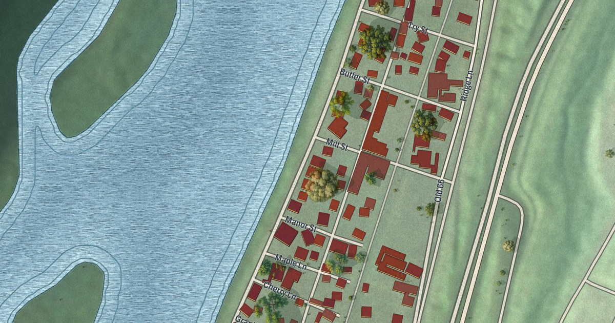
A detailed map of Manorville, Pennsylvania, showing every building in its true location, the roads by name, and shaded topographical relief.
Read More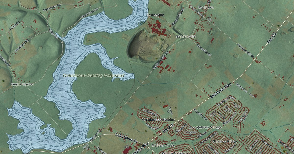
A detailed map of Maidencreek, Pennsylvania, showing every building in its true location, the roads by name, and shaded topographical relief.
Read More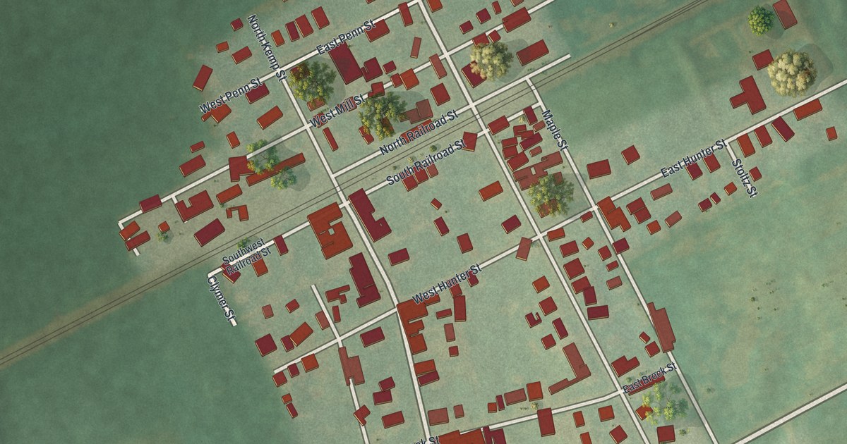
A detailed map of Lyons, Pennsylvania, showing every building in its true location, the roads by name, and shaded topographical relief.
Read More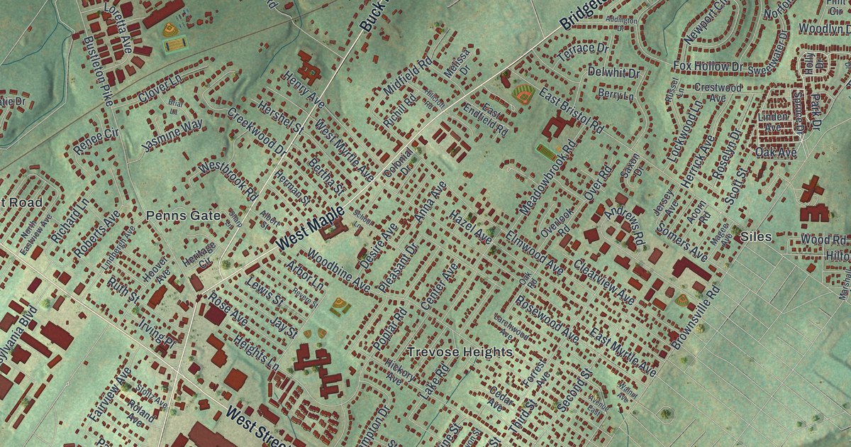
A detailed map of Lower Southampton, Pennsylvania, showing every building in its true location, the roads by name, and shaded topographical relief.
Read More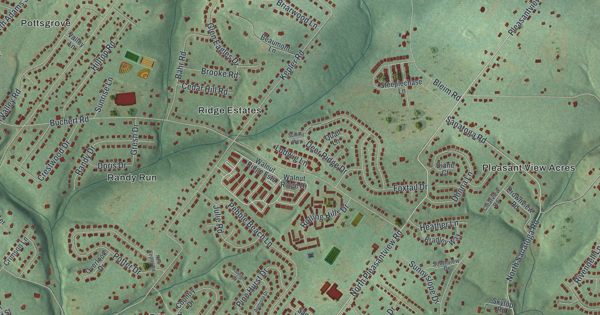
A detailed map of Lower Pottsgrove, Pennsylvania, showing every building in its true location, the roads by name, and shaded topographical relief.
Read More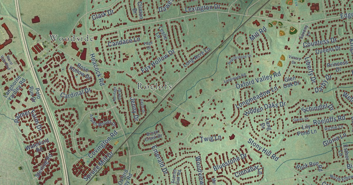
A detailed map of Lower Makefield, Pennsylvania, showing every building in its true location, the roads by name, and shaded topographical relief.
Read More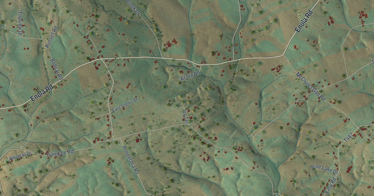
A detailed map of Lower Frankford, Pennsylvania, showing every building in its true location, the roads by name, and shaded topographical relief.
Read More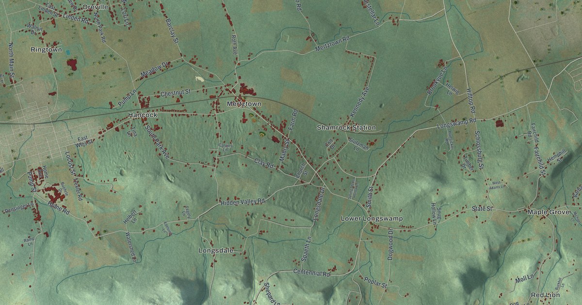
A detailed map of Longswamp, Pennsylvania, showing every building in its true location, the roads by name, and shaded topographical relief.
Read More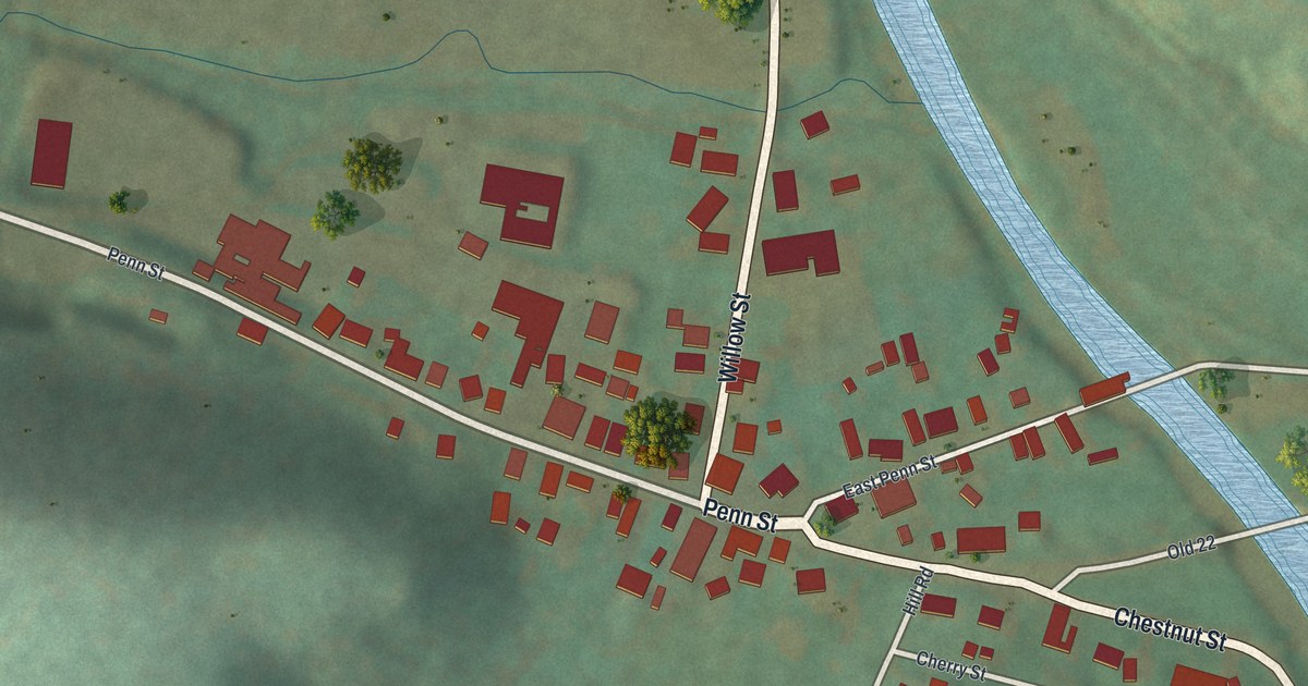
A detailed map of Lenhartsville, Pennsylvania, showing every building in its true location, the roads by name, and shaded topographical relief.
Read More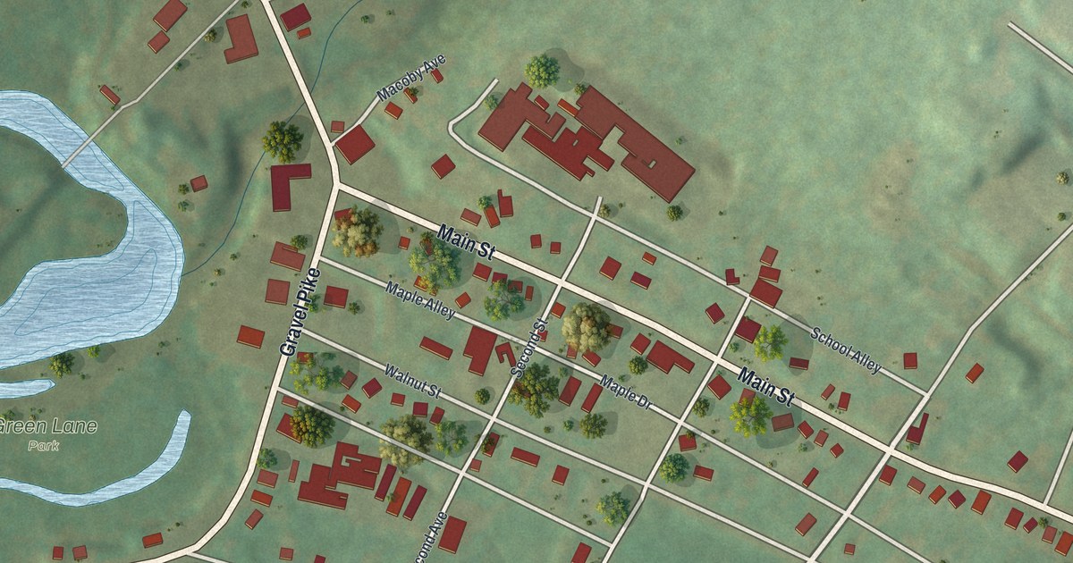
A detailed map of Green Lane, Pennsylvania, showing every building in its true location, the roads by name, and shaded topographical relief.
Read More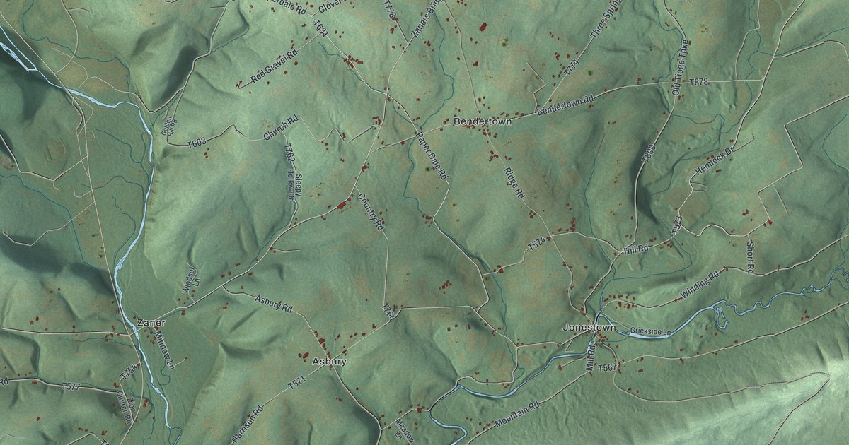
A detailed map of Fishing Creek, Pennsylvania, showing every building in its true location, the roads by name, and shaded topographical relief.
Read More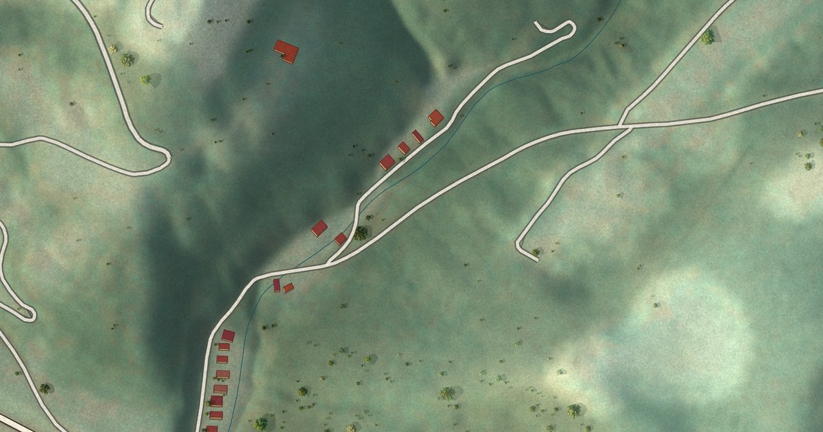
A detailed map of Haysville, Pennsylvania, showing every building in its true location, the roads by name, and shaded topographical relief.
Read More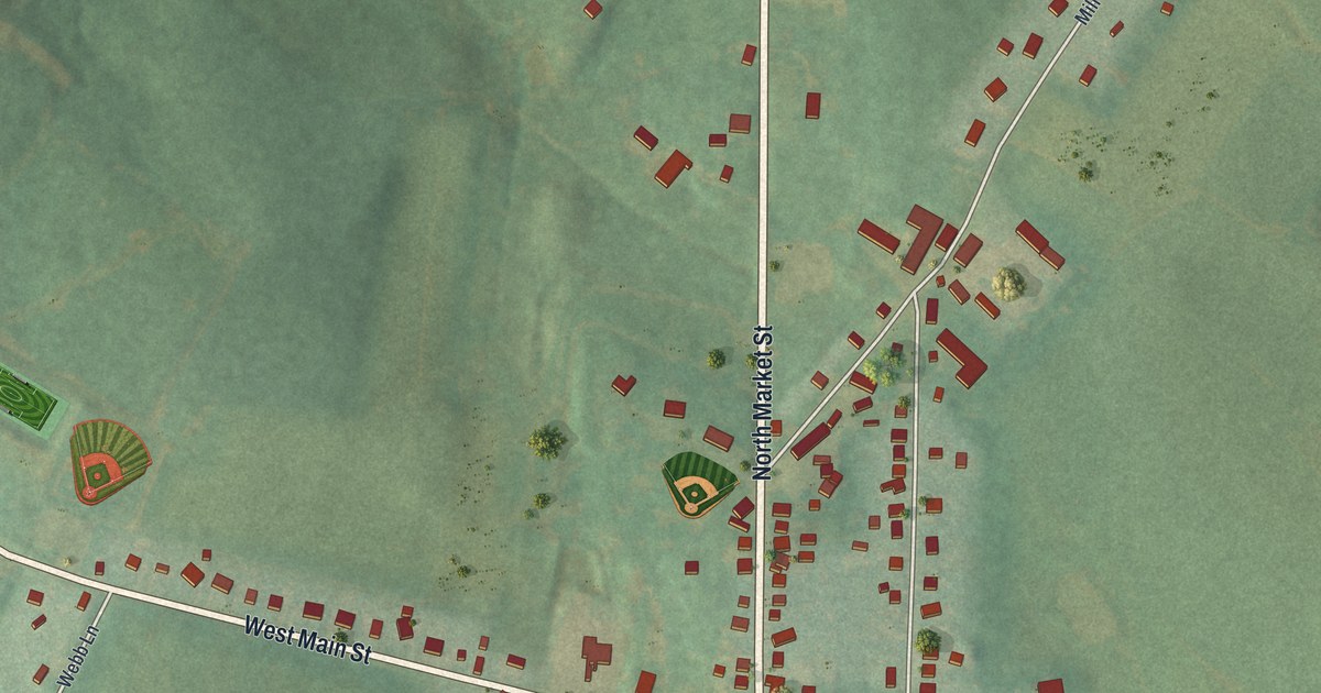
A detailed map of Fawn Grove, Pennsylvania, showing every building in its true location, the roads by name, and shaded topographical relief.
Read More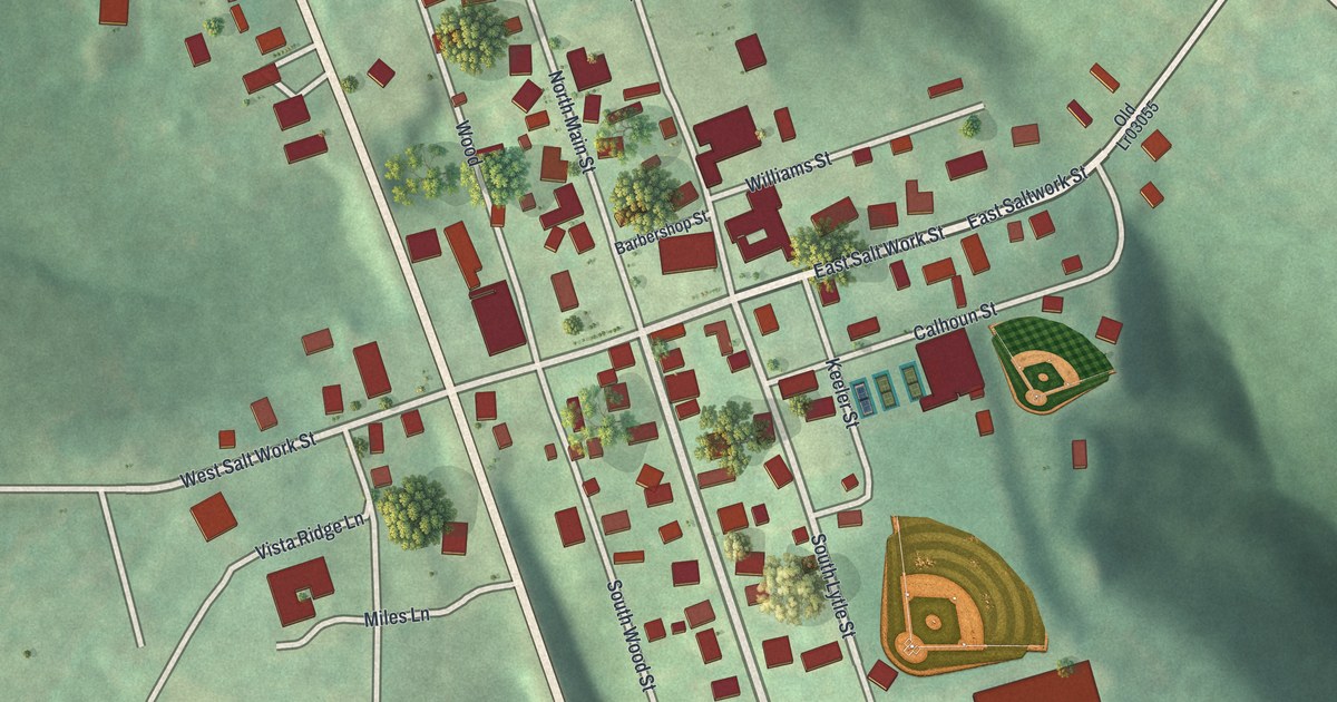
A detailed map of Elderton, Pennsylvania, showing every building in its true location, the roads by name, and shaded topographical relief.
Read More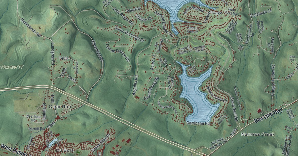
A detailed map of DuBois, Pennsylvania, showing every building in its true location, the roads by name, and shaded topographical relief.
Read More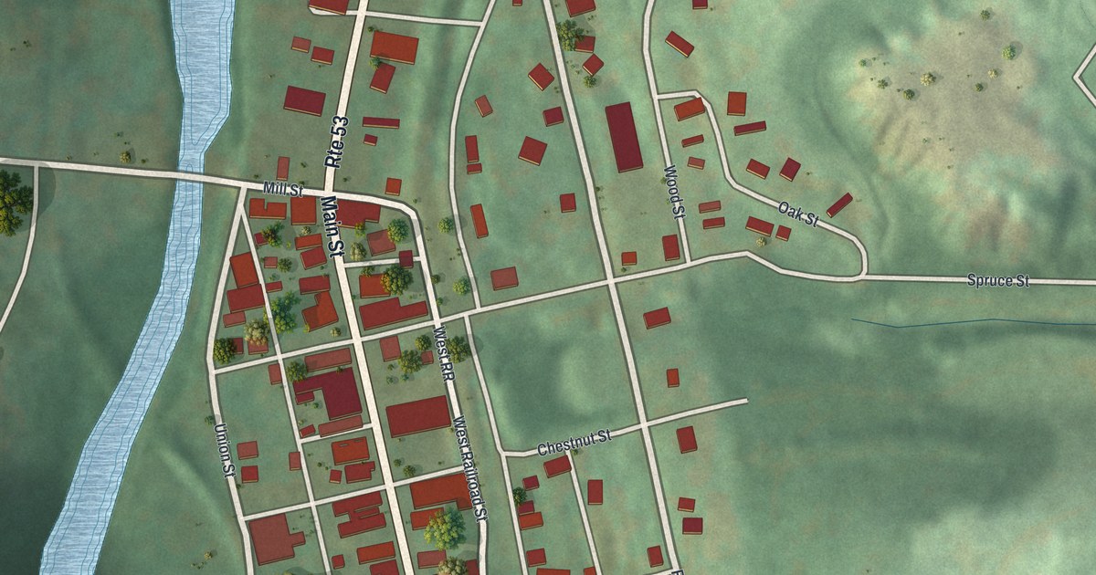
A detailed map of Coalport, Pennsylvania, showing every building in its true location, the roads by name, and shaded topographical relief.
Read More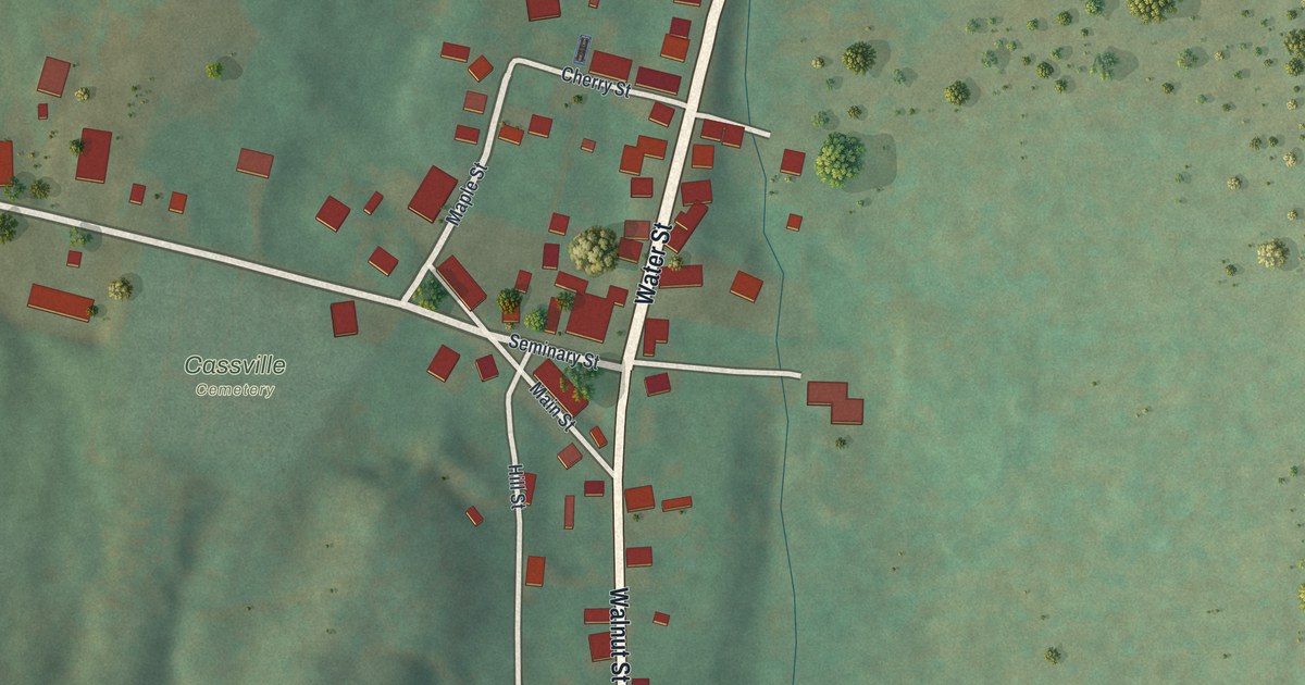
A detailed map of Cassville, Pennsylvania, showing every building in its true location, the roads by name, and shaded topographical relief.
Read More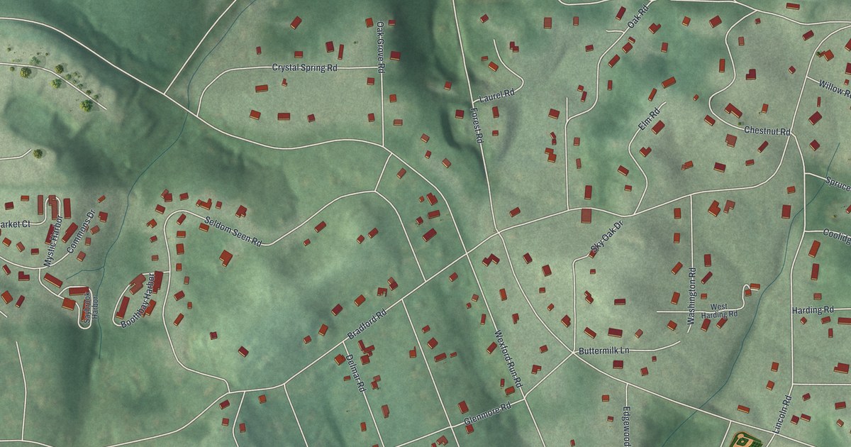
A detailed map of Bradford Woods, Pennsylvania, showing every building in its true location, the roads by name, and shaded topographical relief.
Read More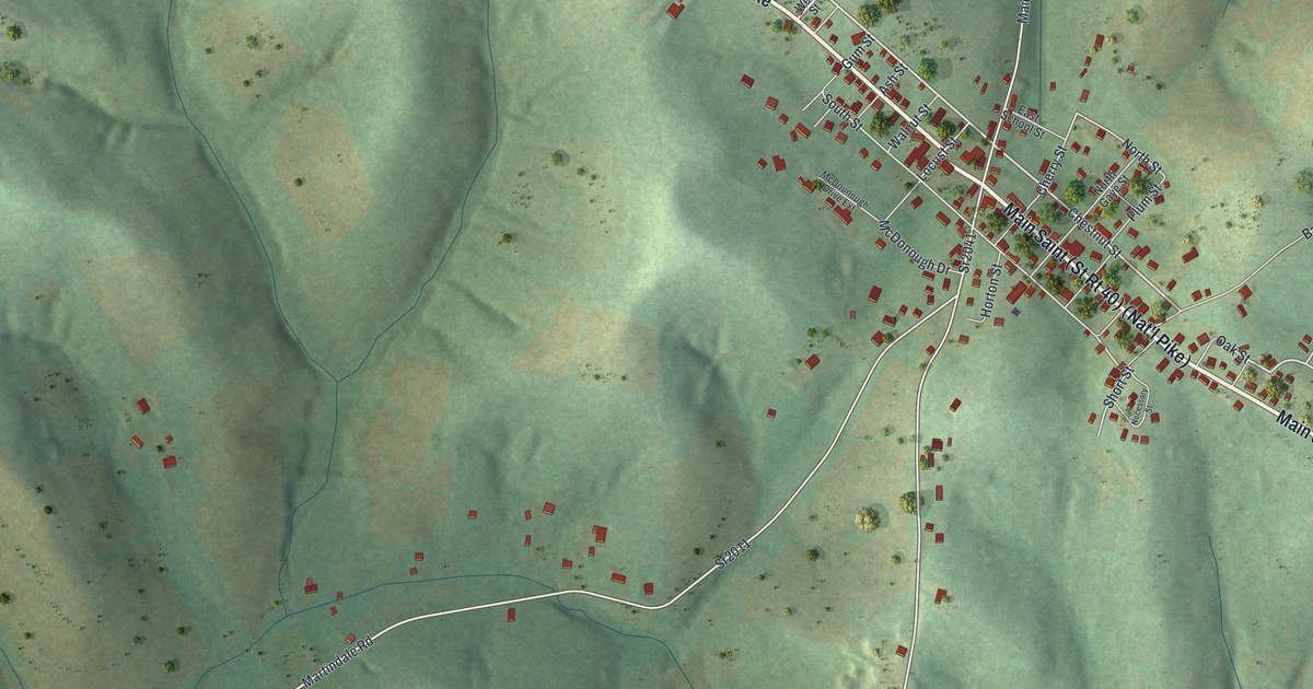
A detailed map of Beallsville, Pennsylvania, showing every building in its true location, the roads by name, and shaded topographical relief.
Read More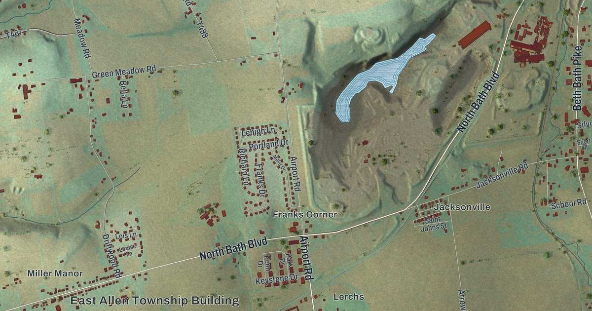
A detailed map of East Allen, Pennsylvania, showing every building in its true location, the roads by name, and shaded topographical relief.
Read More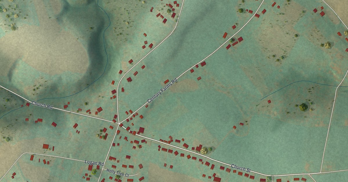
A detailed map of Cross Roads, Pennsylvania, showing every building in its true location, the roads by name, and shaded topographical relief.
Read More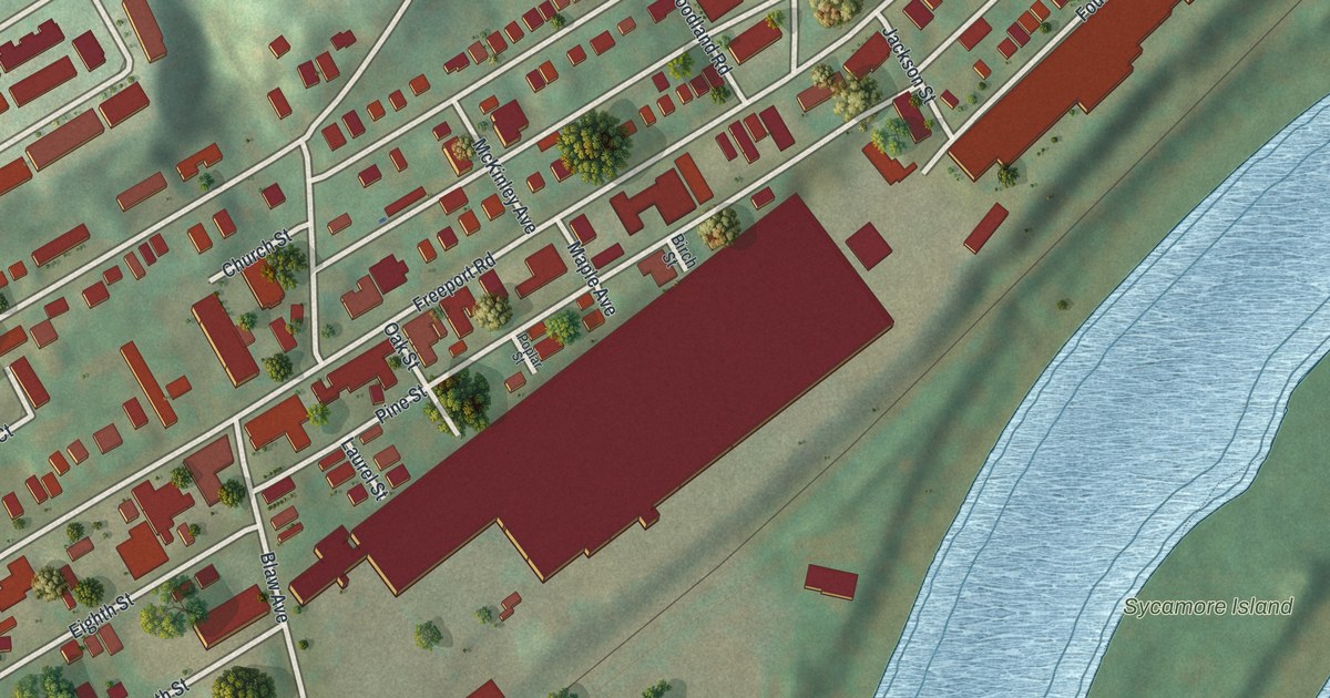
A detailed map of Blawnox, Pennsylvania, showing every building in its true location, the roads by name, and shaded topographical relief.
Read More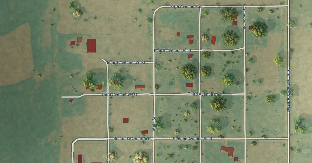
A detailed map of Overly, North Dakota, showing every building in its true location, the roads by name, and shaded topographical relief.
Read More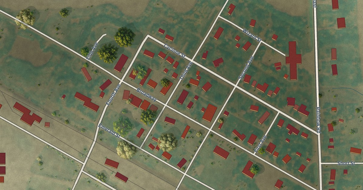
A detailed map of Osnabrock, North Dakota, showing every building in its true location, the roads by name, and shaded topographical relief.
Read More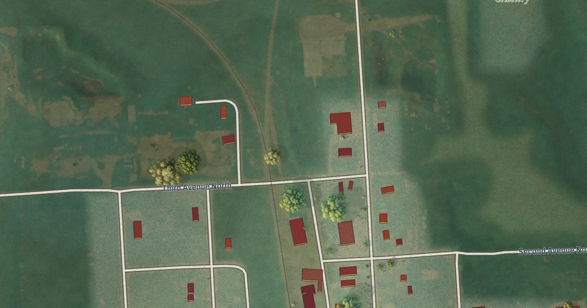
A detailed map of Oberon, North Dakota, showing every building in its true location, the roads by name, and shaded topographical relief.
Read More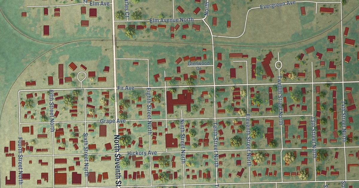
A detailed map of Oakes, North Dakota, showing every building in its true location, the roads by name, and shaded topographical relief.
Read More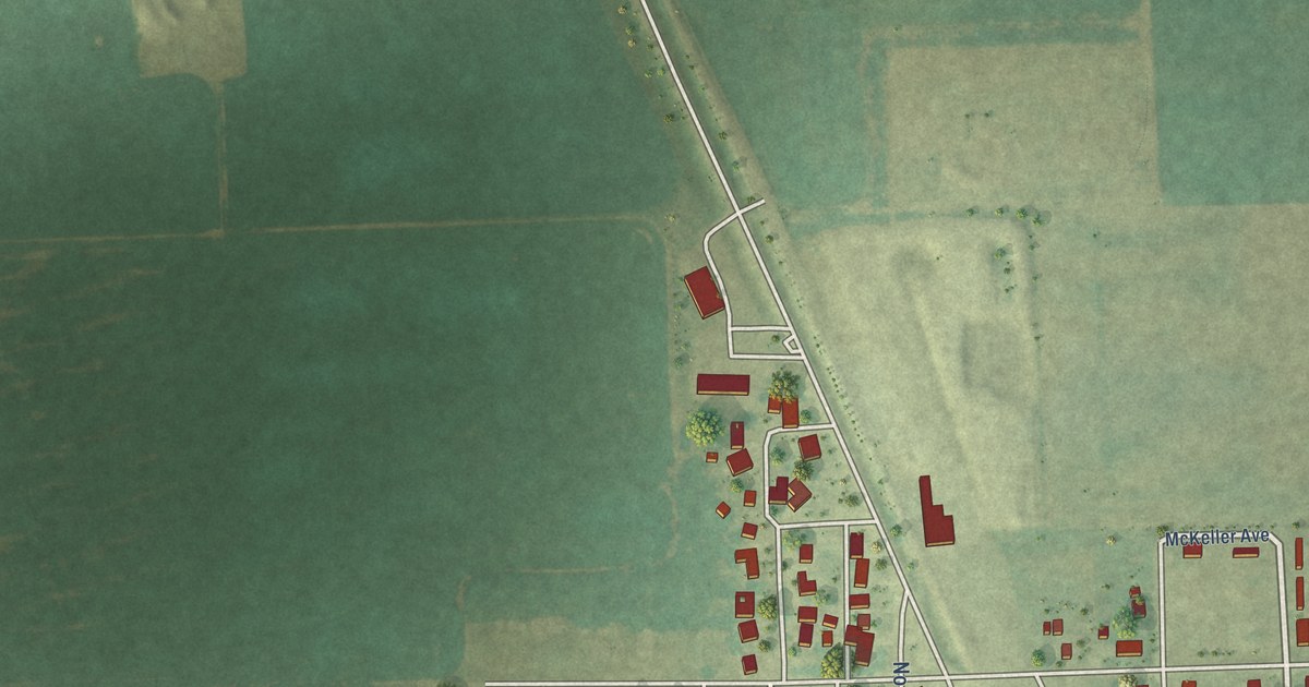
A detailed map of Northwood, North Dakota, showing every building in its true location, the roads by name, and shaded topographical relief.
Read More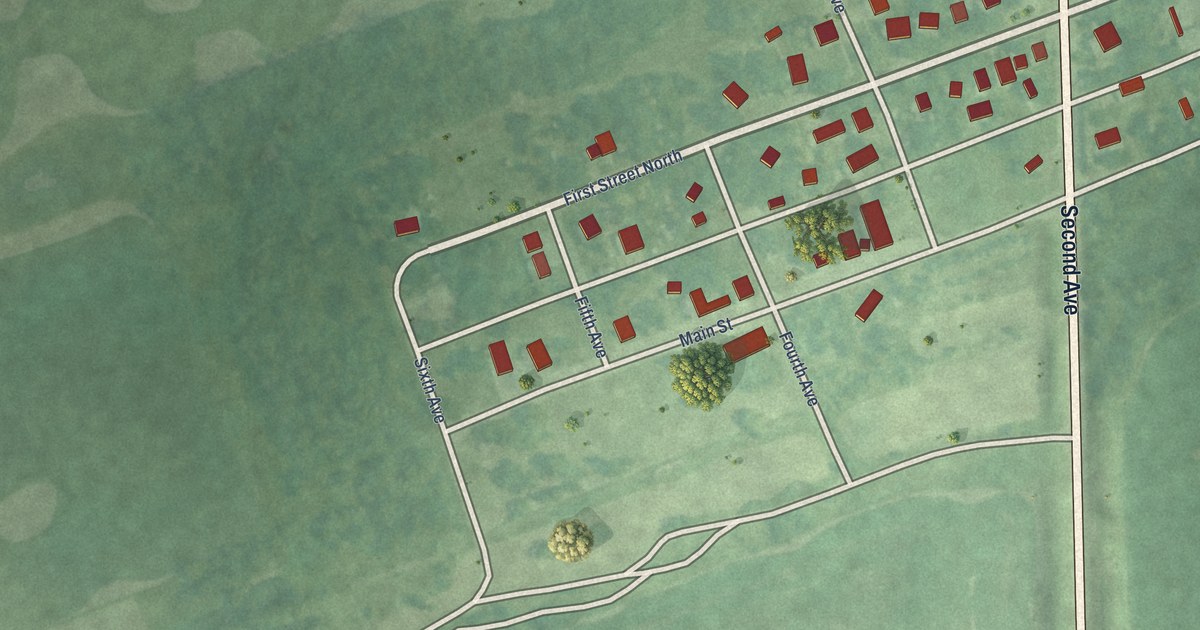
A detailed map of Nome, North Dakota, showing every building in its true location, the roads by name, and shaded topographical relief.
Read More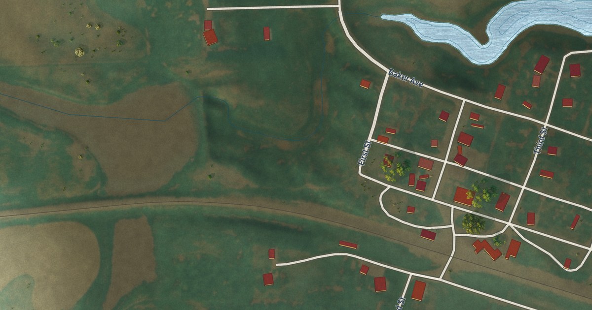
A detailed map of Niagara, North Dakota, showing every building in its true location, the roads by name, and shaded topographical relief.
Read More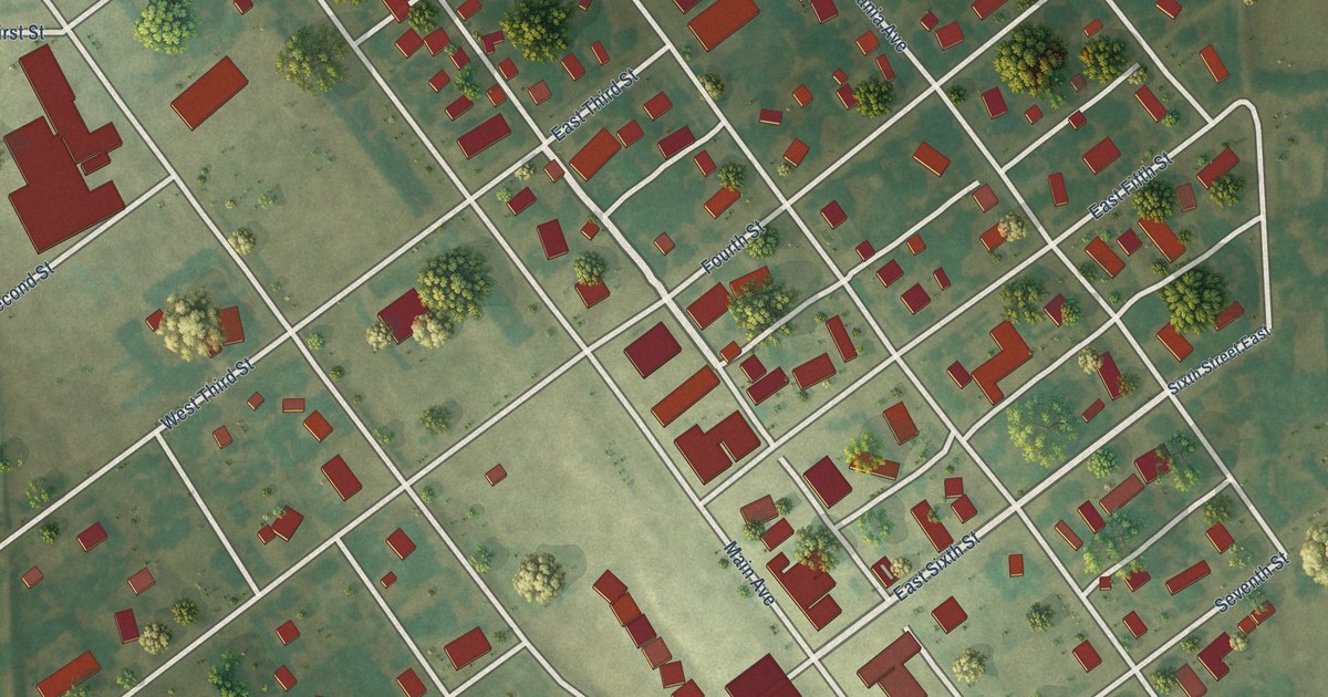
A detailed map of Neche, North Dakota, showing every building in its true location, the roads by name, and shaded topographical relief.
Read More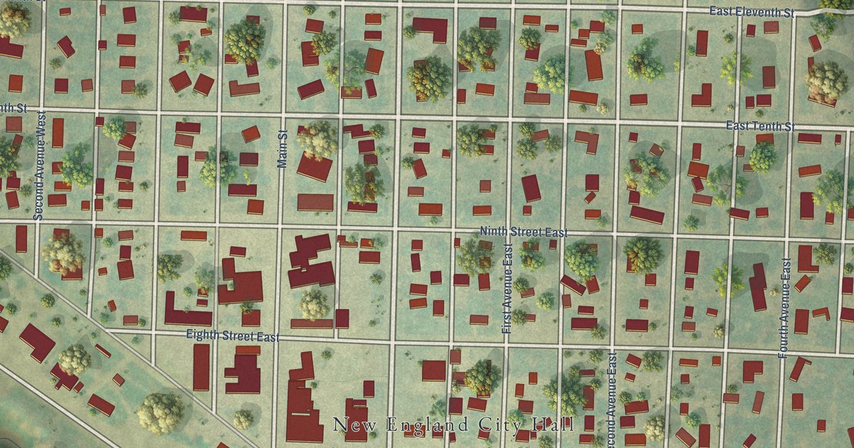
A detailed map of New England, North Dakota, showing every building in its true location, the roads by name, and shaded topographical relief.
Read More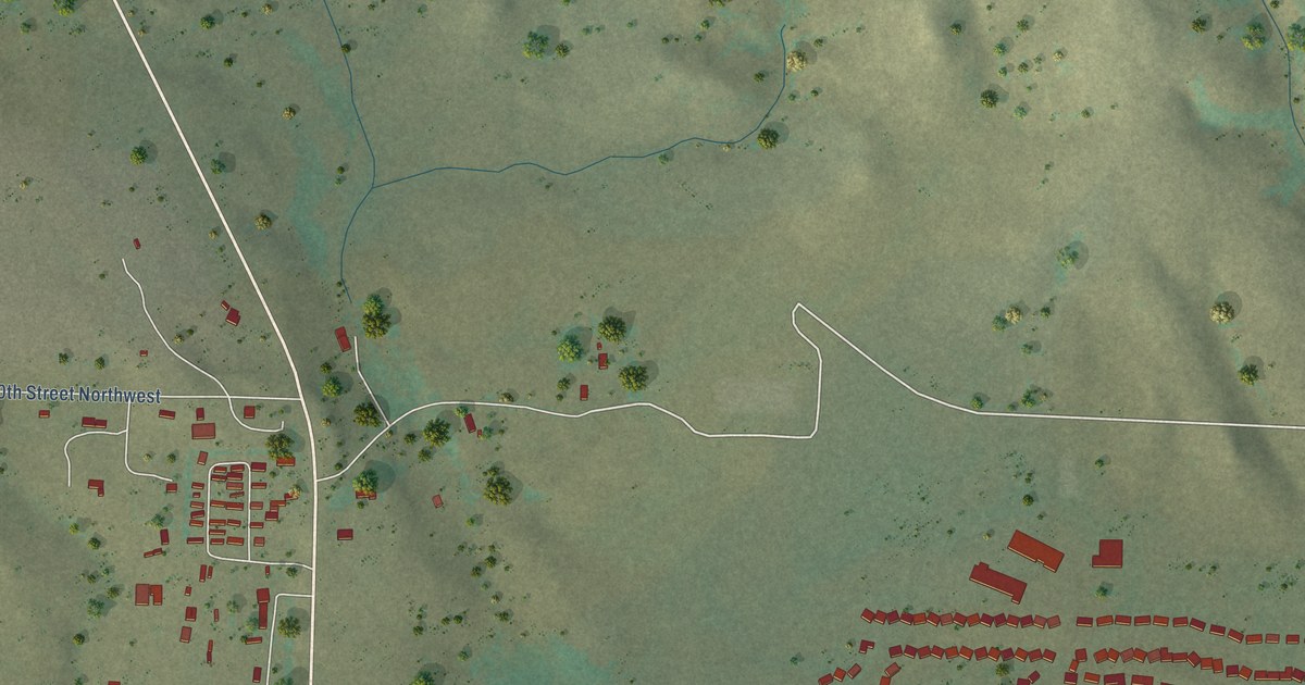
A detailed map of New Town, North Dakota, showing every building in its true location, the roads by name, and shaded topographical relief.
Read More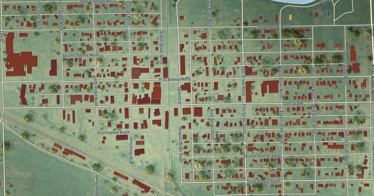
A detailed map of New Rockford, North Dakota, showing every building in its true location, the roads by name, and shaded topographical relief.
Read More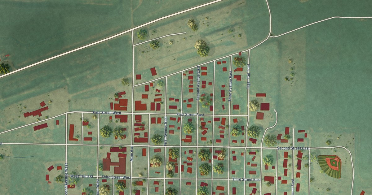
A detailed map of New Leipzig, North Dakota, showing every building in its true location, the roads by name, and shaded topographical relief.
Read More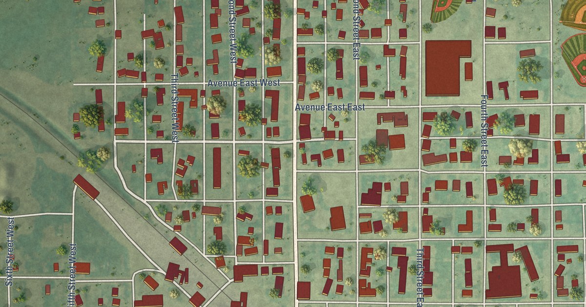
A detailed map of Napoleon, North Dakota, showing every building in its true location, the roads by name, and shaded topographical relief.
Read More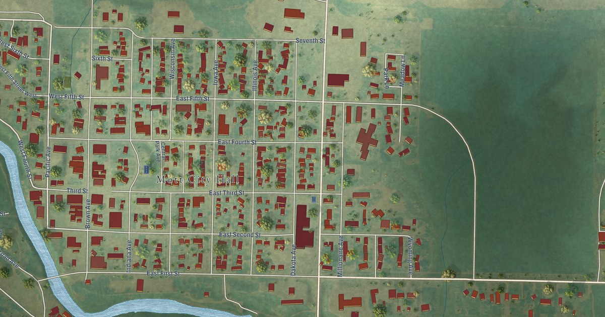
A detailed map of Mott, North Dakota, showing every building in its true location, the roads by name, and shaded topographical relief.
Read More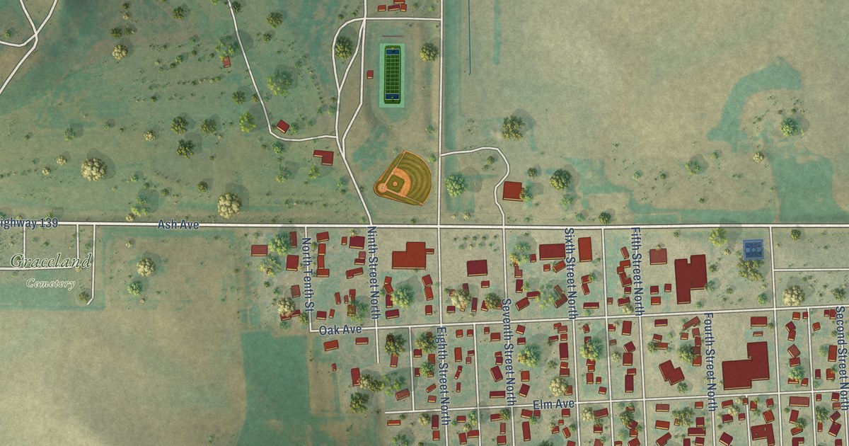
A detailed map of New Salem, North Dakota, showing every building in its true location, the roads by name, and shaded topographical relief.
Read More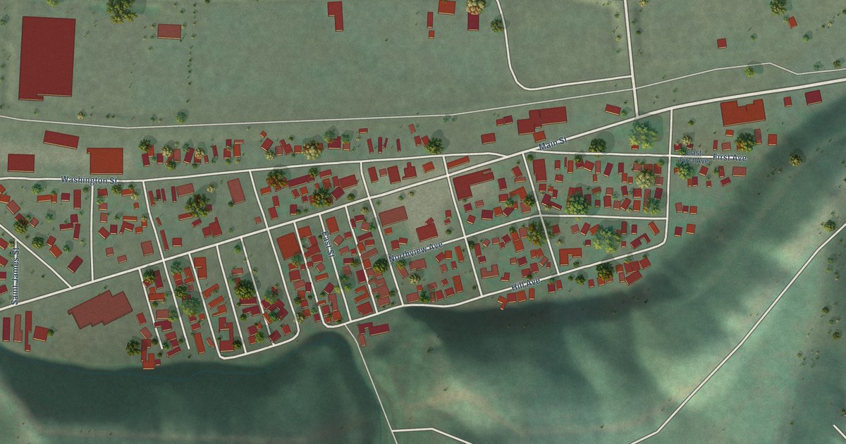
A detailed map of Smelterville, Idaho, showing every building in its true location, the roads by name, and shaded topographical relief.
Read More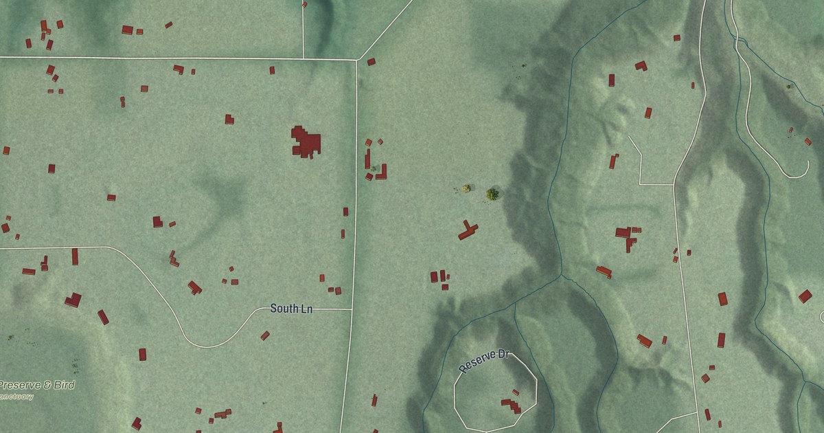
A detailed map of Waite Hill, Ohio, showing every building in its true location, the roads by name, and shaded topographical relief.
Read More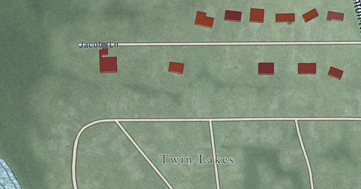
A detailed map of Sugar Bush Knolls, Ohio, showing every building in its true location, the roads by name, and shaded topographical relief.
Read More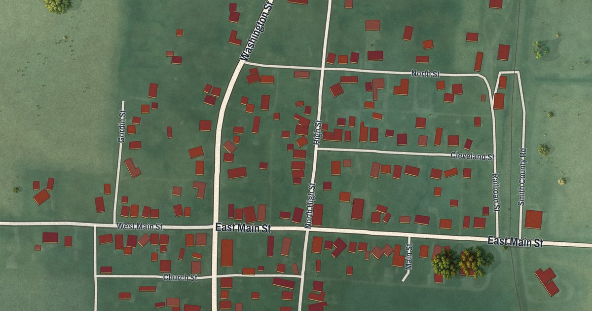
A detailed map of South Solon, Ohio, showing every building in its true location, the roads by name, and shaded topographical relief.
Read More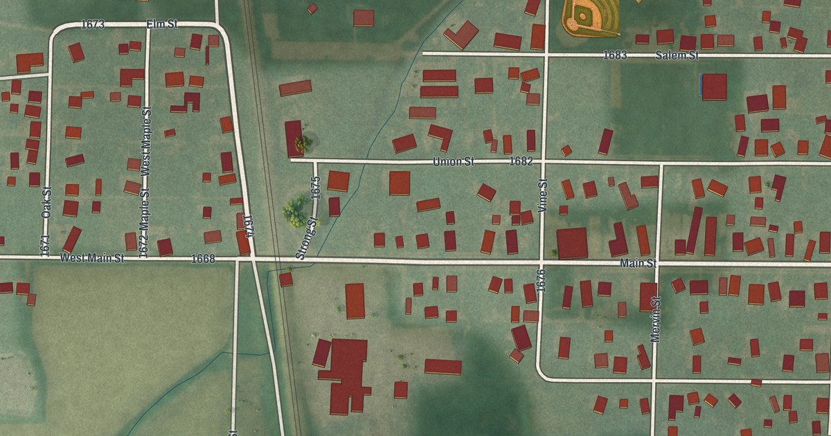
A detailed map of Risingsun, Ohio, showing every building in its true location, the roads by name, and shaded topographical relief.
Read More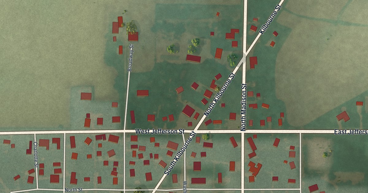
A detailed map of Republic, Ohio, showing every building in its true location, the roads by name, and shaded topographical relief.
Read More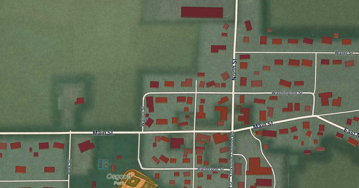
A detailed map of Osgood, Ohio, showing every building in its true location, the roads by name, and shaded topographical relief.
Read More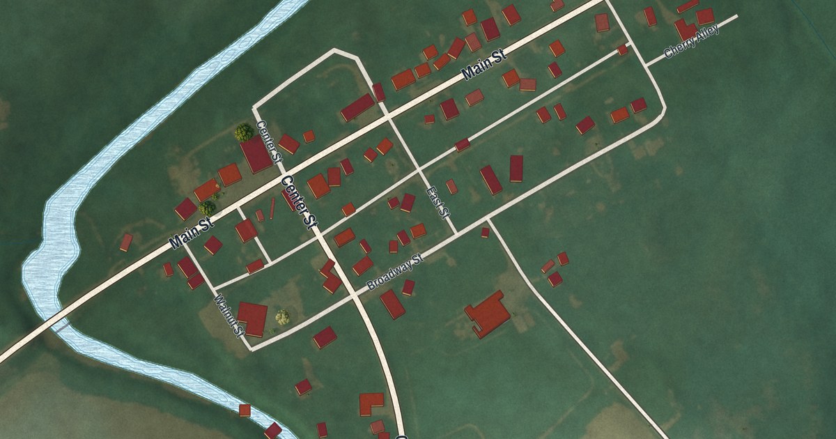
A detailed map of Marseilles, Ohio, showing every building in its true location, the roads by name, and shaded topographical relief.
Read More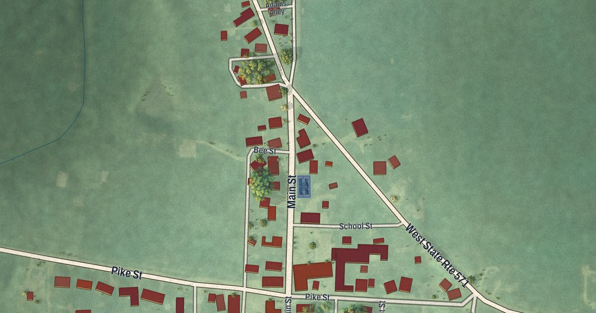
A detailed map of Laura, Ohio, showing every building in its true location, the roads by name, and shaded topographical relief.
Read More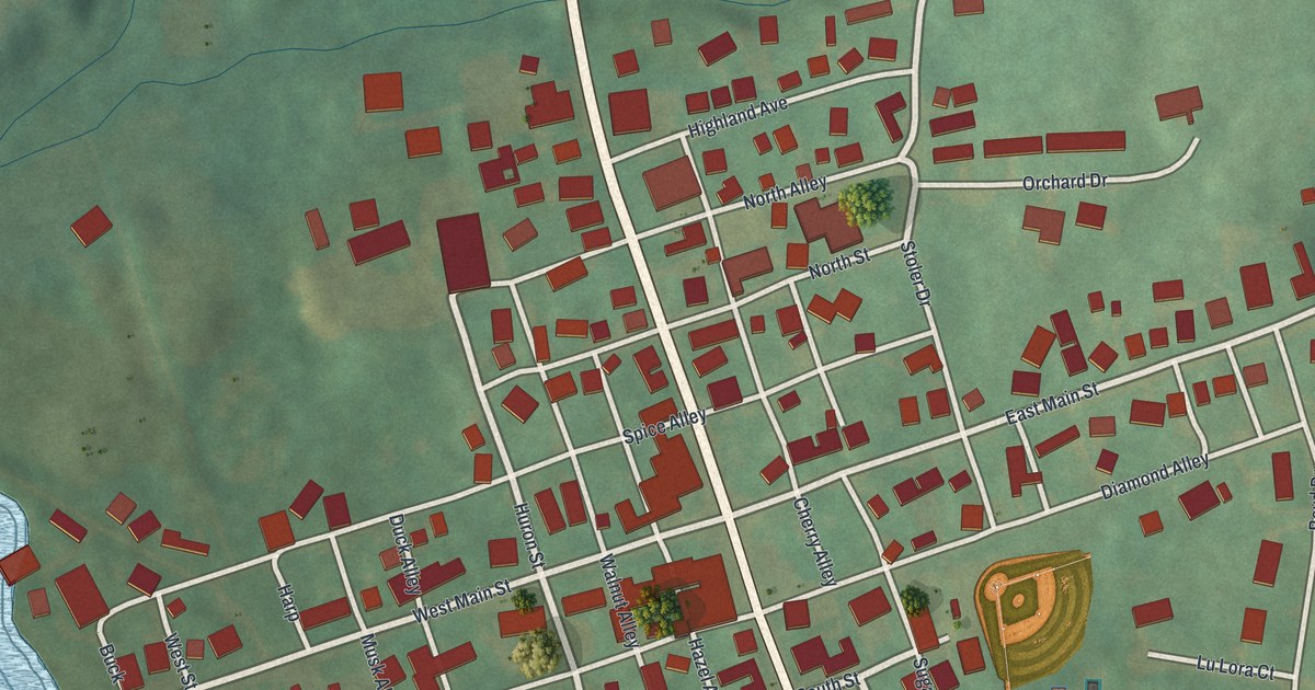
A detailed map of Jeromesville, Ohio, showing every building in its true location, the roads by name, and shaded topographical relief.
Read More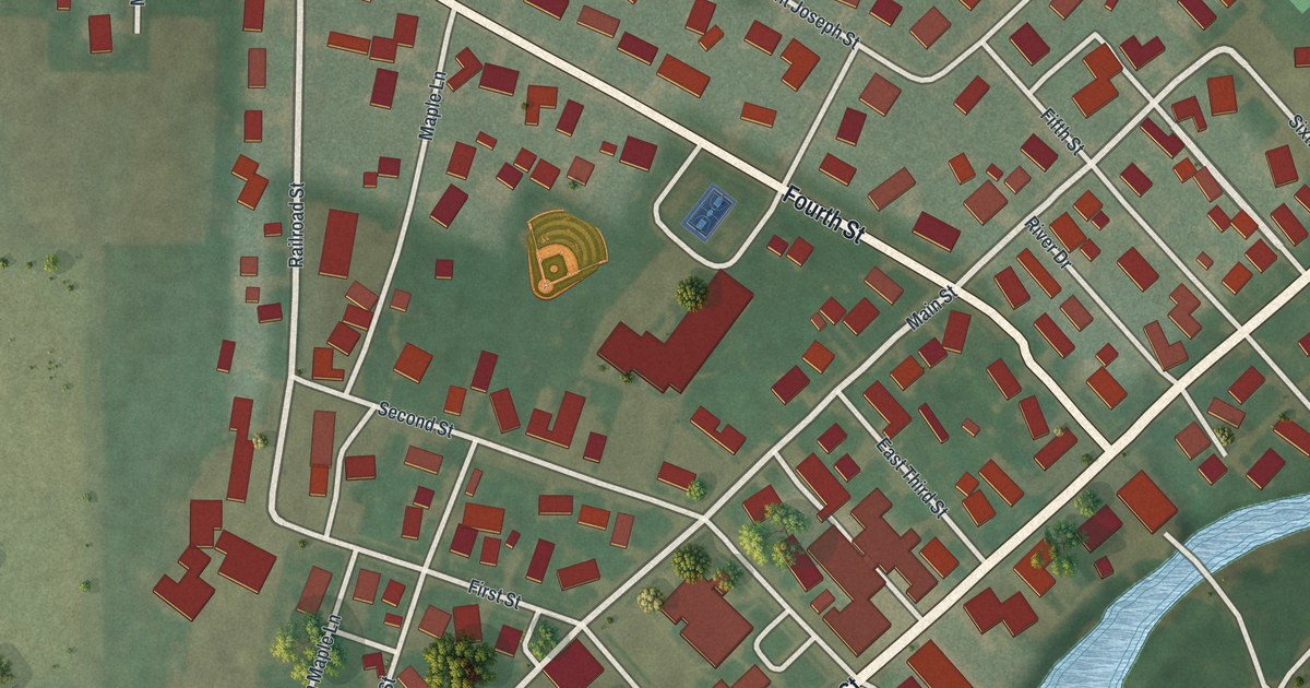
A detailed map of Fort Jennings, Ohio, showing every building in its true location, the roads by name, and shaded topographical relief.
Read More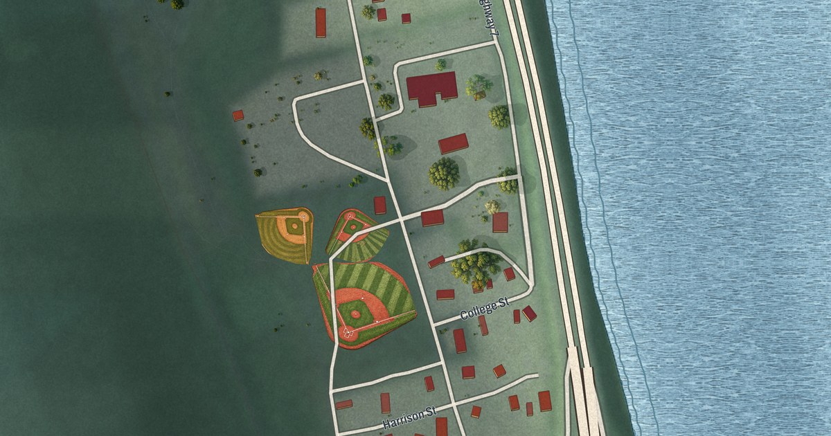
A detailed map of Empire, Ohio, showing every building in its true location, the roads by name, and shaded topographical relief.
Read More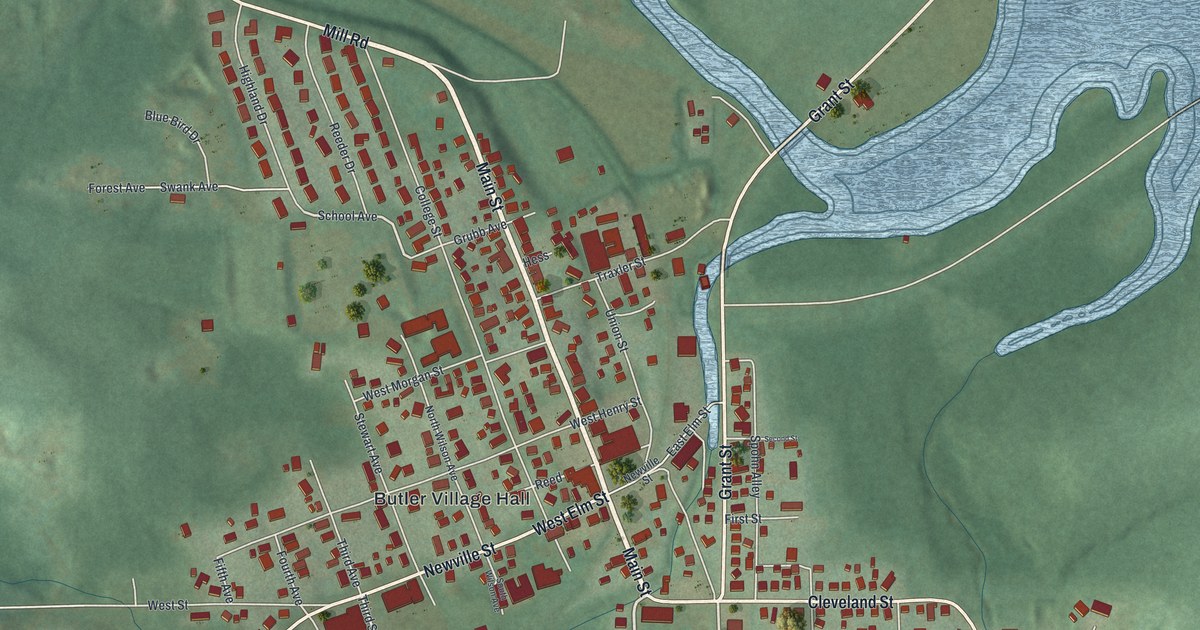
A detailed map of Butler, Ohio, showing every building in its true location, the roads by name, and shaded topographical relief.
Read More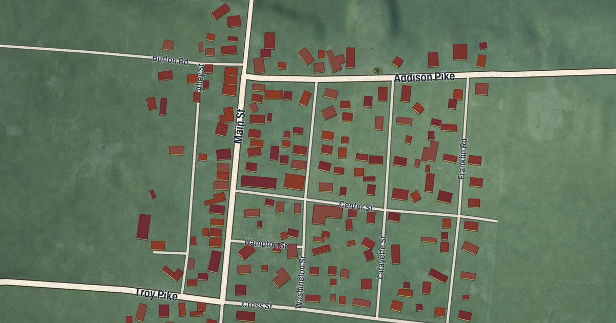
A detailed map of Casstown, Ohio, showing every building in its true location, the roads by name, and shaded topographical relief.
Read More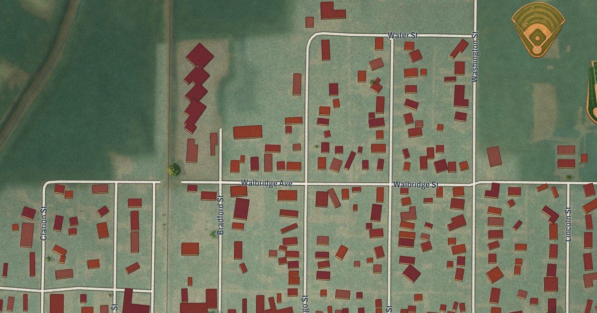
A detailed map of Cygnet, Ohio, showing every building in its true location, the roads by name, and shaded topographical relief.
Read More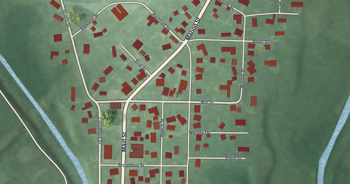
A detailed map of Green Camp, Ohio, showing every building in its true location, the roads by name, and shaded topographical relief.
Read More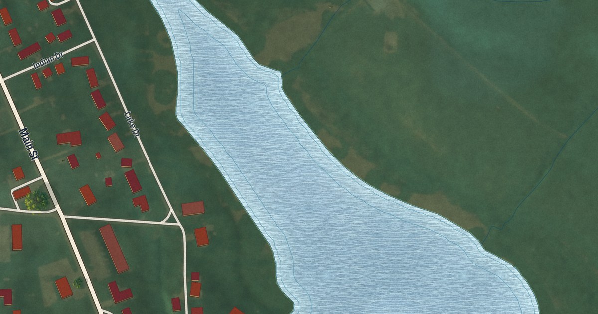
A detailed map of Bailey Lakes, Ohio, showing every building in its true location, the roads by name, and shaded topographical relief.
Read More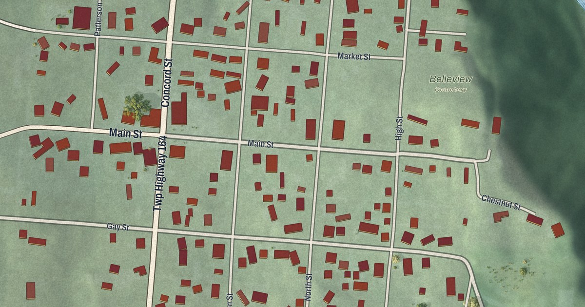
A detailed map of Adelphi, Ohio, showing every building in its true location, the roads by name, and shaded topographical relief.
Read More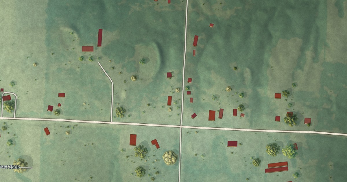
A detailed map of Tightwad, Missouri, showing every building in its true location, the roads by name, and shaded topographical relief.
Read More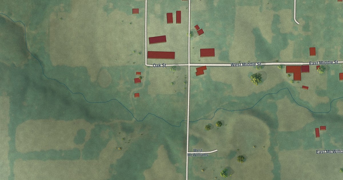
A detailed map of Leonard, Missouri, showing every building in its true location, the roads by name, and shaded topographical relief.
Read More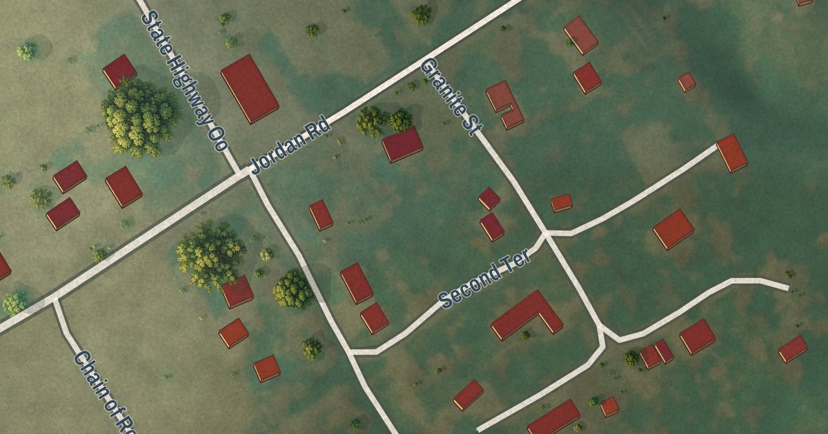
A detailed map of Chain of Rocks, Missouri, showing every building in its true location, the roads by name, and shaded topographical relief.
Read More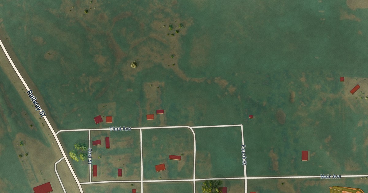
A detailed map of Monango, North Dakota, showing every building in its true location, the roads by name, and shaded topographical relief.
Read More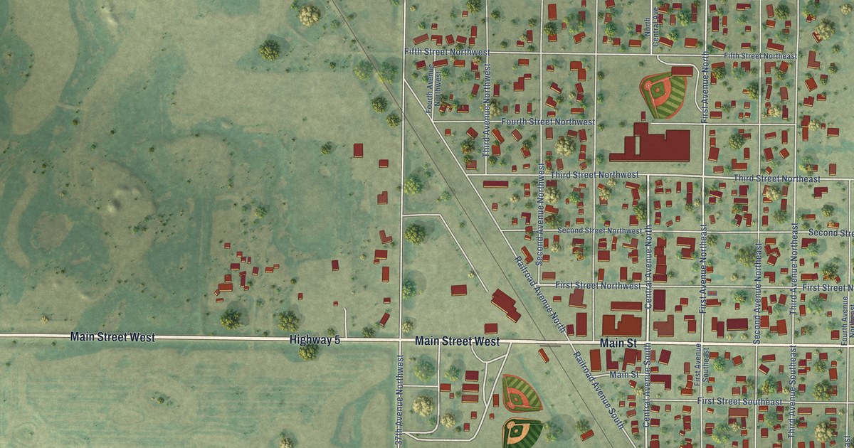
A detailed map of Mohall, North Dakota, showing every building in its true location, the roads by name, and shaded topographical relief.
Read More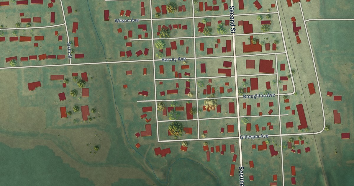
A detailed map of Minto, North Dakota, showing every building in its true location, the roads by name, and shaded topographical relief.
Read More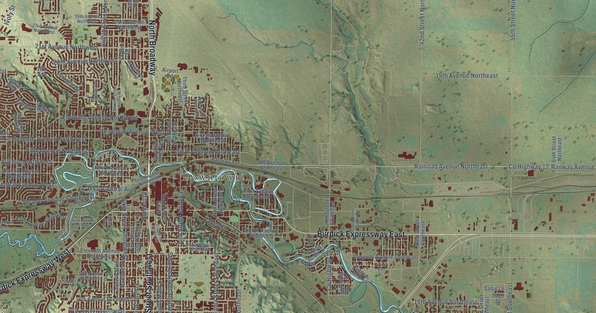
A detailed map of Minot, North Dakota, showing every building in its true location, the roads by name, and shaded topographical relief.
Read More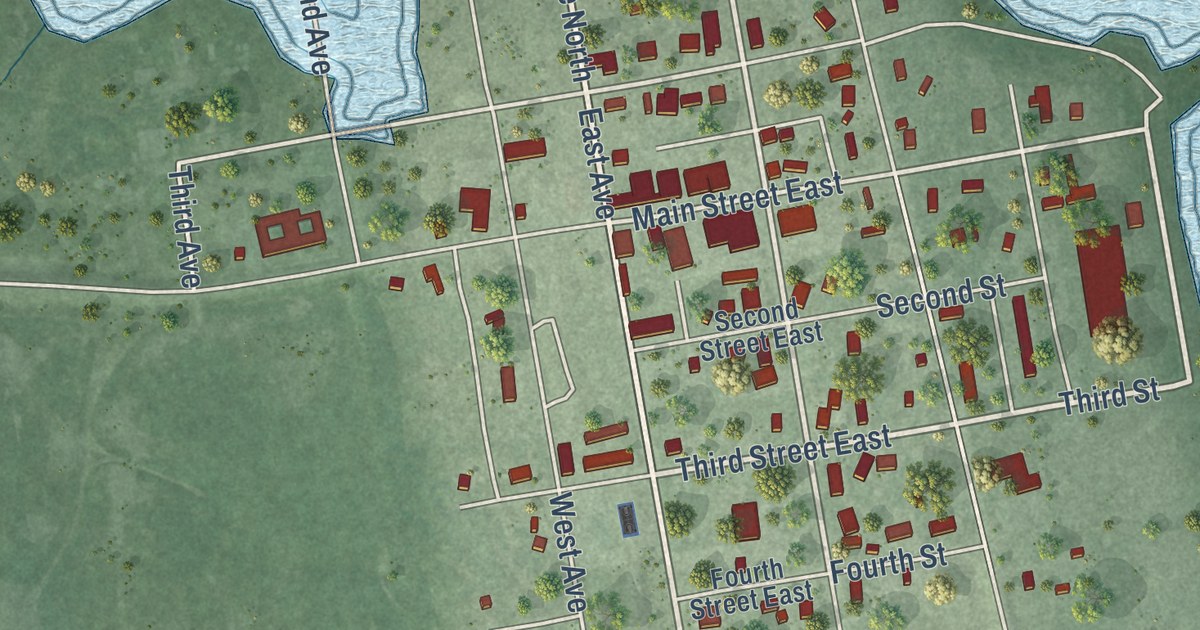
A detailed map of Minnewaukan, North Dakota, showing every building in its true location, the roads by name, and shaded topographical relief.
Read More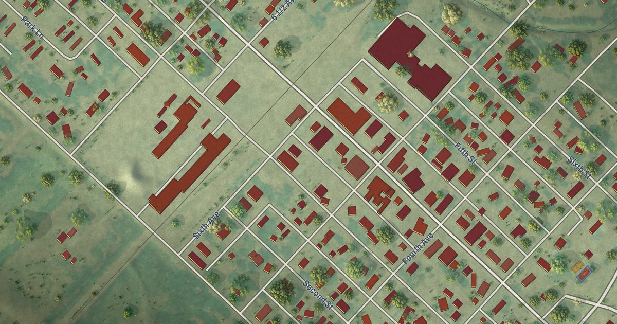
A detailed map of Milnor, North Dakota, showing every building in its true location, the roads by name, and shaded topographical relief.
Read More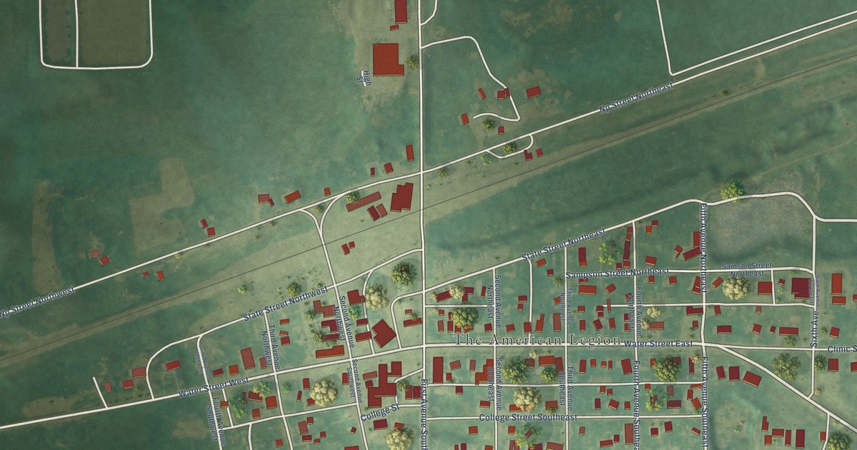
A detailed map of Medina, North Dakota, showing every building in its true location, the roads by name, and shaded topographical relief.
Read More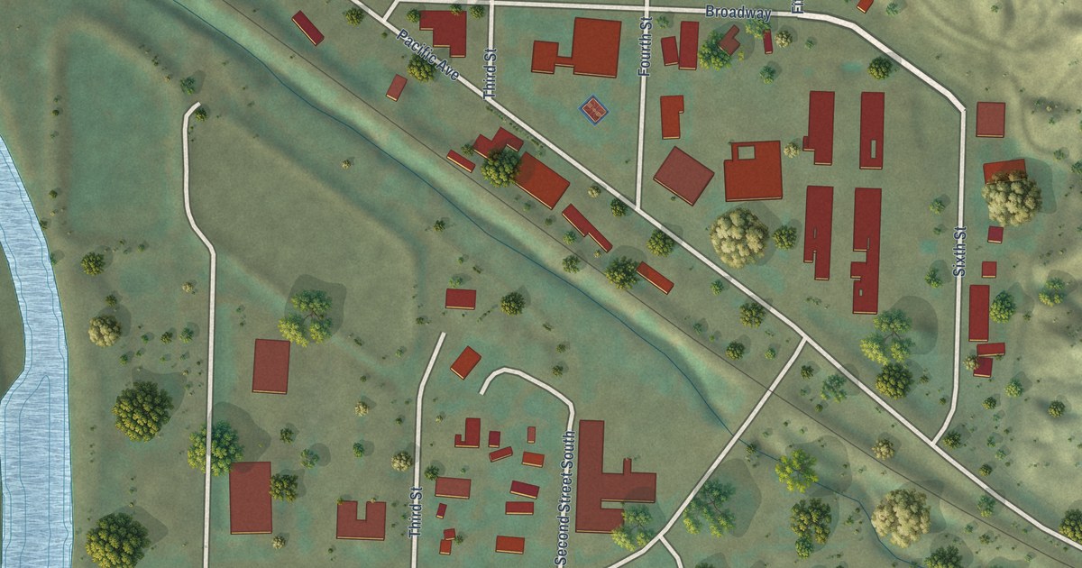
A detailed map of Medora, North Dakota, showing every building in its true location, the roads by name, and shaded topographical relief.
Read More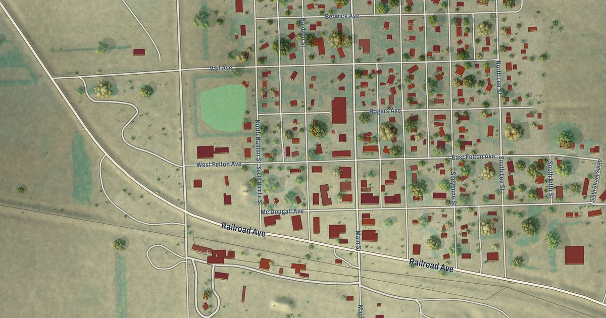
A detailed map of McVille, North Dakota, showing every building in its true location, the roads by name, and shaded topographical relief.
Read More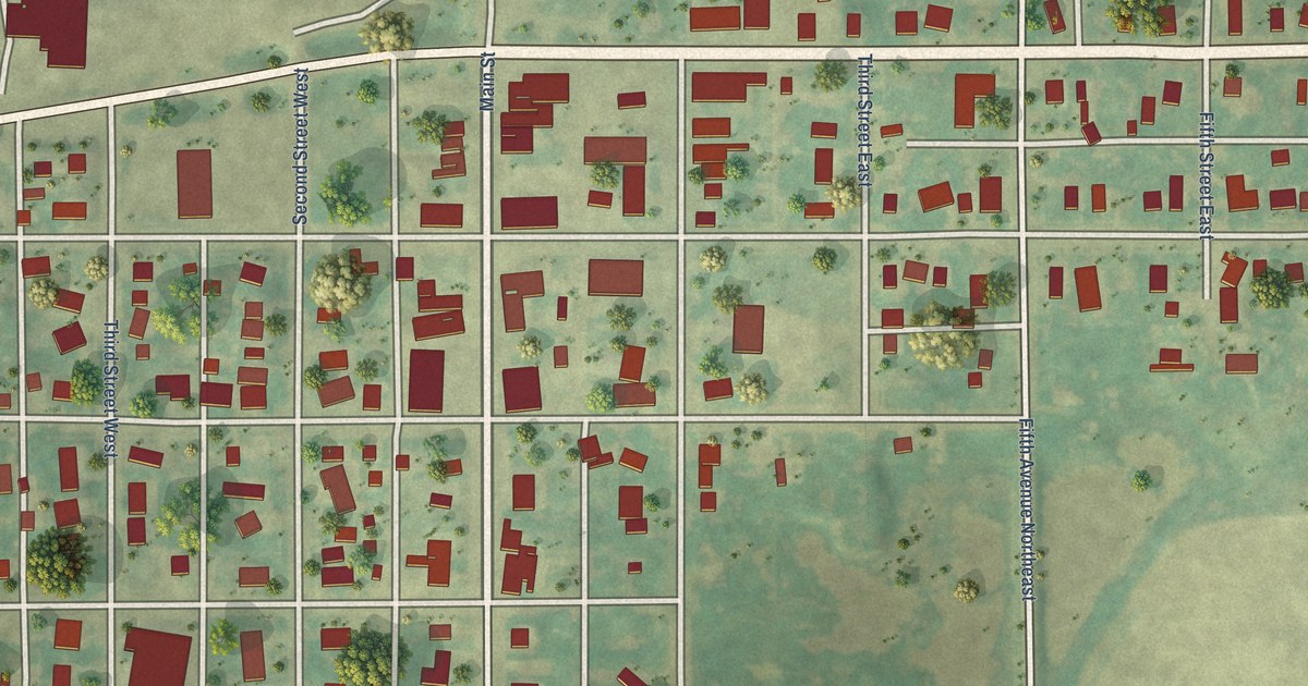
A detailed map of McClusky, North Dakota, showing every building in its true location, the roads by name, and shaded topographical relief.
Read More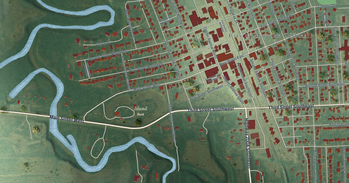
A detailed map of Mayville, North Dakota, showing every building in its true location, the roads by name, and shaded topographical relief.
Read More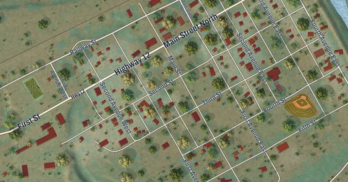
A detailed map of Marmarth, North Dakota, showing every building in its true location, the roads by name, and shaded topographical relief.
Read More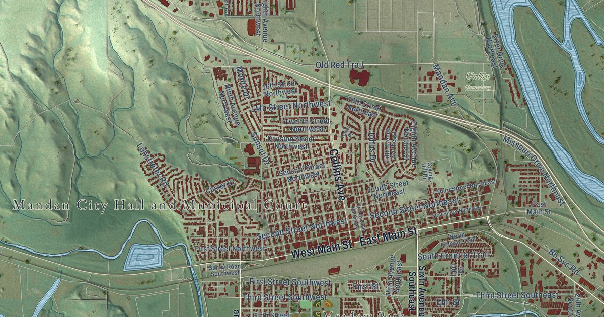
A detailed map of Mandan, North Dakota, showing every building in its true location, the roads by name, and shaded topographical relief.
Read More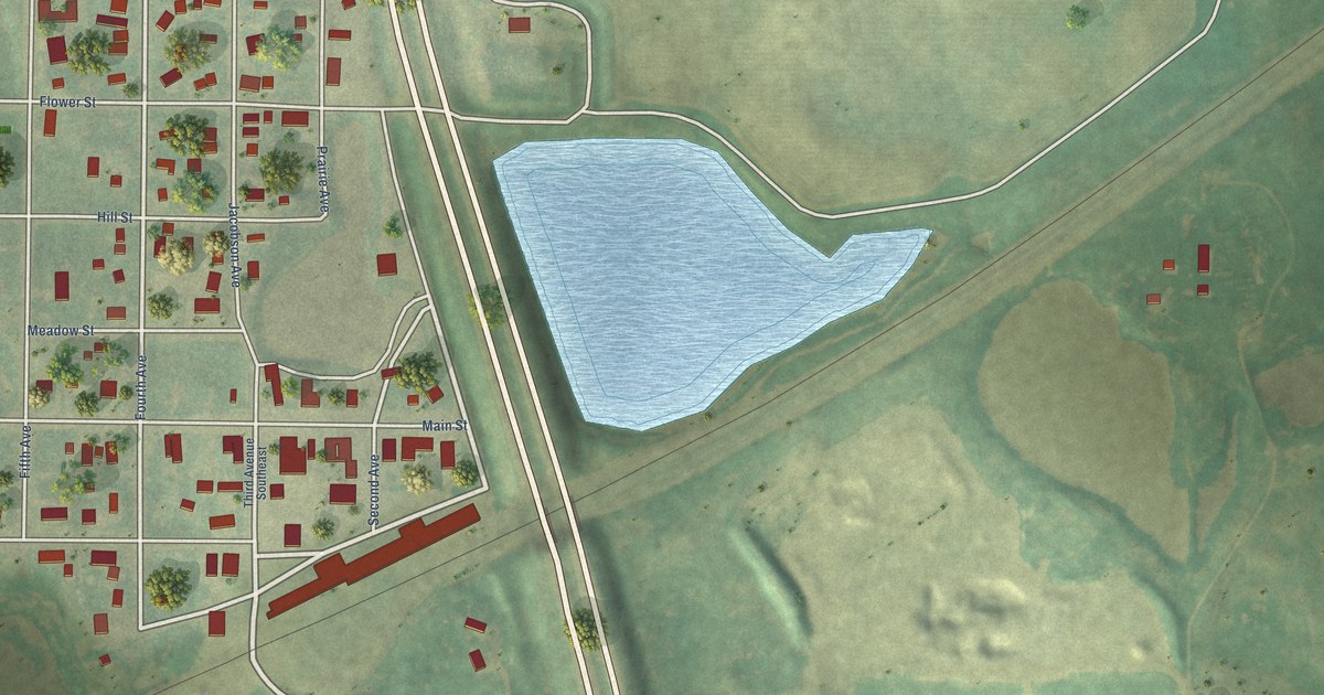
A detailed map of Max, North Dakota, showing every building in its true location, the roads by name, and shaded topographical relief.
Read More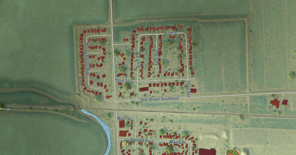
A detailed map of Mapleton, North Dakota, showing every building in its true location, the roads by name, and shaded topographical relief.
Read More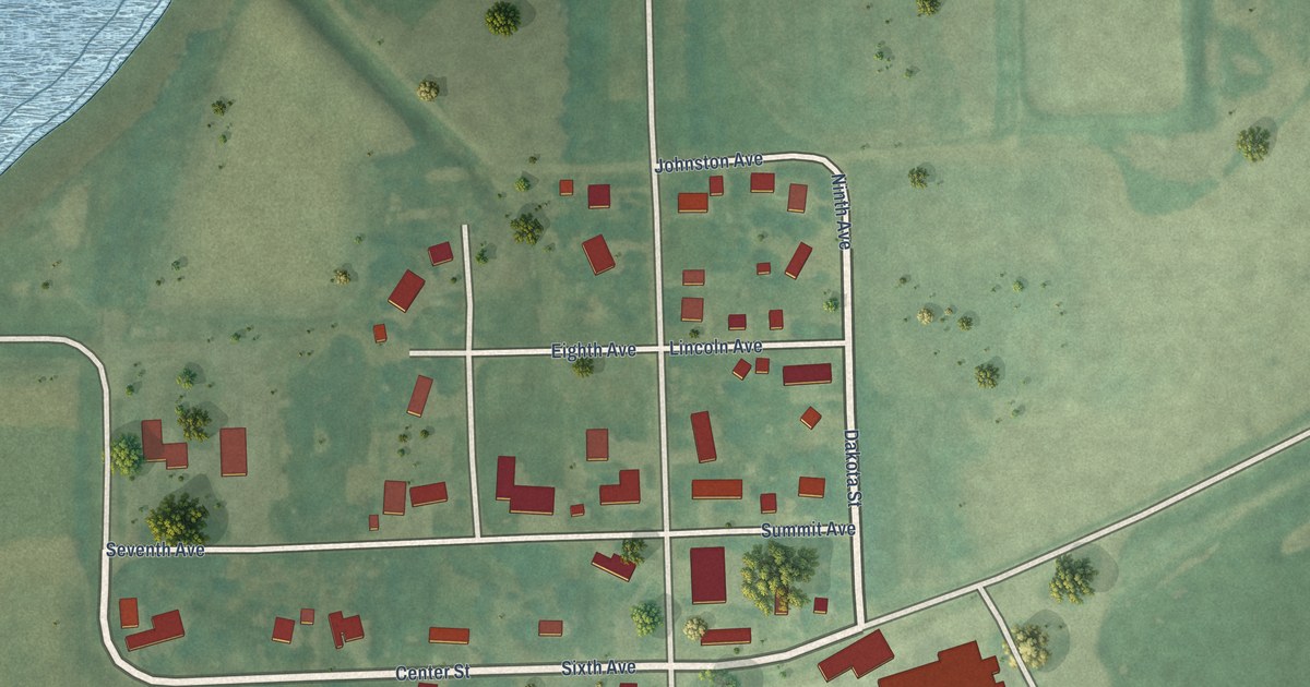
A detailed map of Marion, North Dakota, showing every building in its true location, the roads by name, and shaded topographical relief.
Read More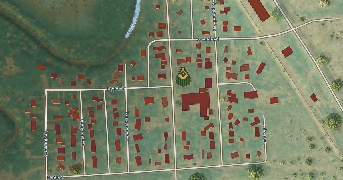
A detailed map of Manvel, North Dakota, showing every building in its true location, the roads by name, and shaded topographical relief.
Read More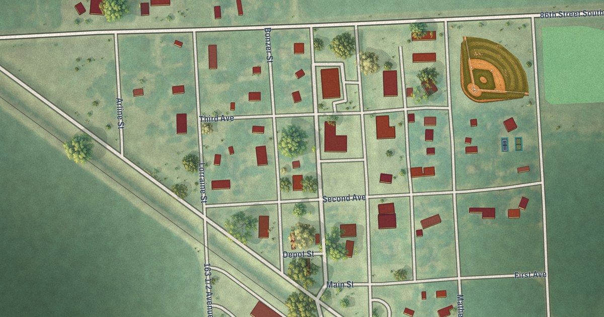
A detailed map of Mantador, North Dakota, showing every building in its true location, the roads by name, and shaded topographical relief.
Read More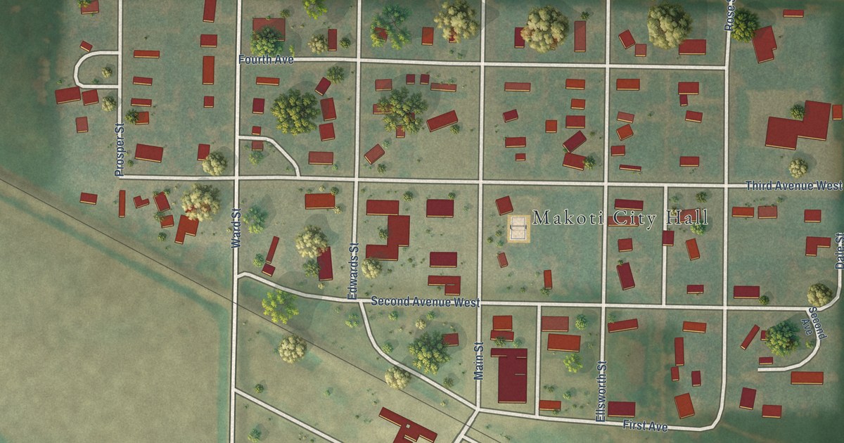
A detailed map of Makoti, North Dakota, showing every building in its true location, the roads by name, and shaded topographical relief.
Read More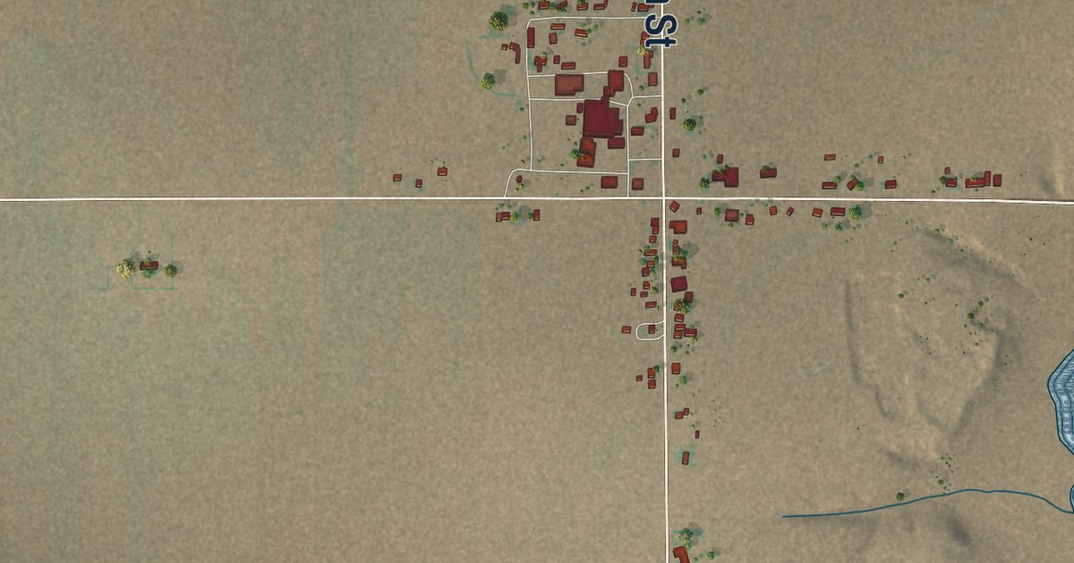
A detailed map of Dora, New Mexico, showing every building in its true location, the roads by name, and shaded topographical relief.
Read More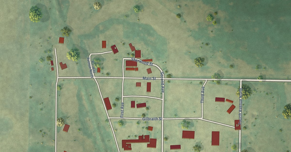
A detailed map of Loraine, North Dakota, showing every building in its true location, the roads by name, and shaded topographical relief.
Read More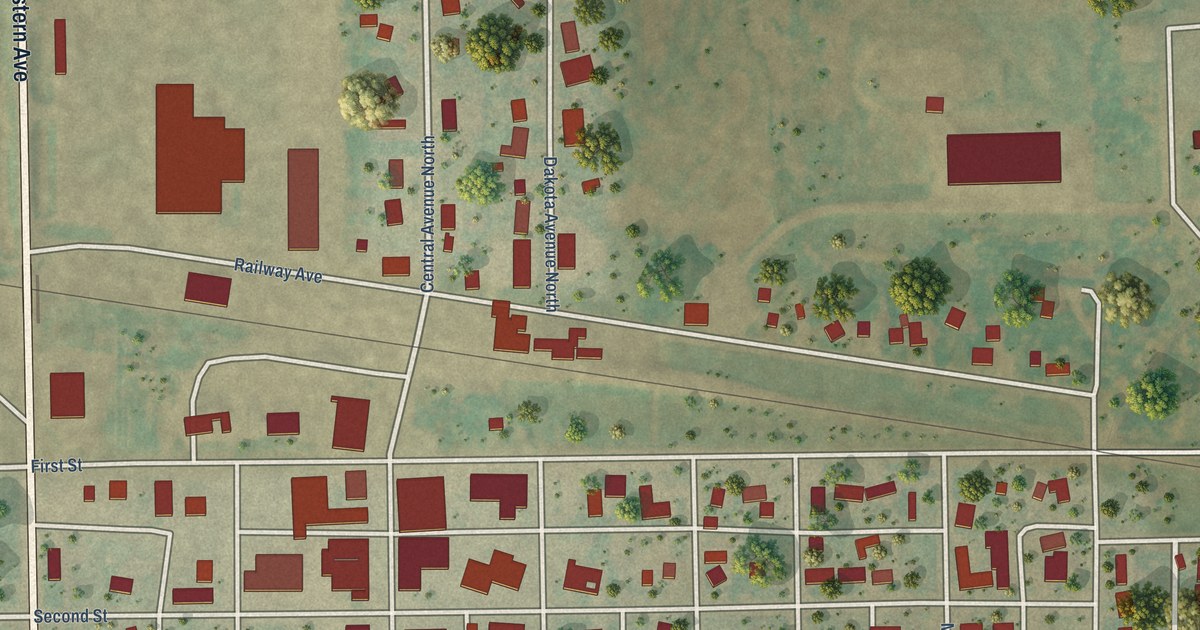
A detailed map of Maddock, North Dakota, showing every building in its true location, the roads by name, and shaded topographical relief.
Read More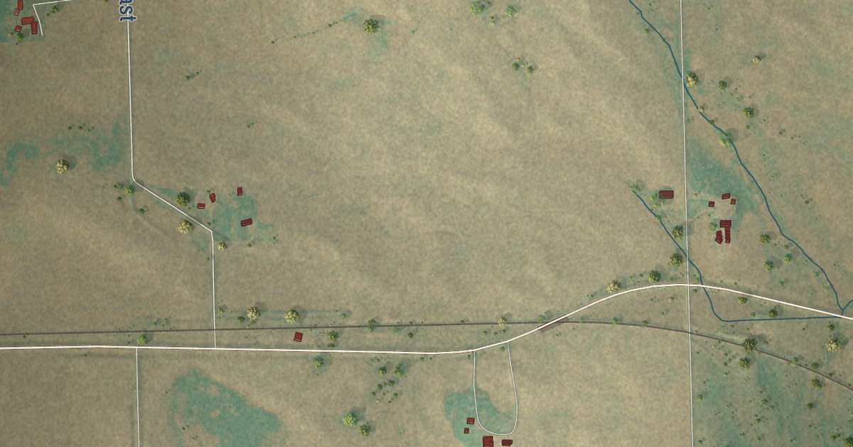
A detailed map of Loma, North Dakota, showing every building in its true location, the roads by name, and shaded topographical relief.
Read More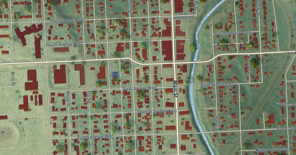
A detailed map of Lisbon, North Dakota, showing every building in its true location, the roads by name, and shaded topographical relief.
Read More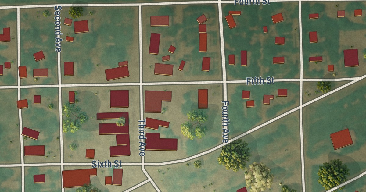
A detailed map of Litchville, North Dakota, showing every building in its true location, the roads by name, and shaded topographical relief.
Read More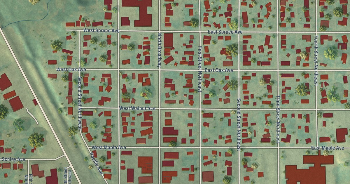
A detailed map of Linton, North Dakota, showing every building in its true location, the roads by name, and shaded topographical relief.
Read More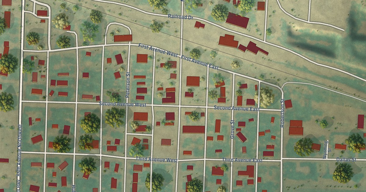
A detailed map of Lignite, North Dakota, showing every building in its true location, the roads by name, and shaded topographical relief.
Read More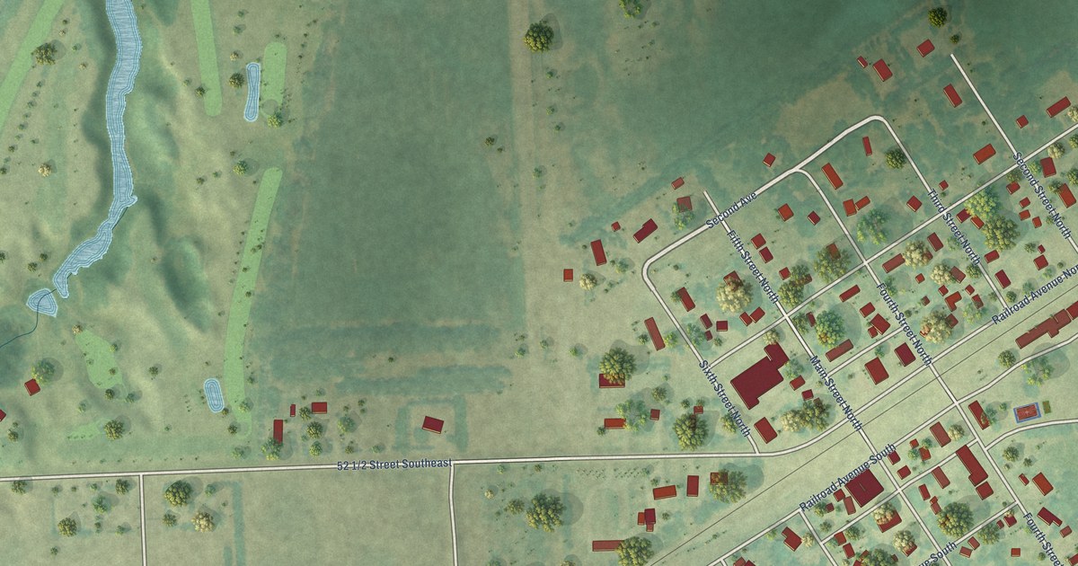
A detailed map of Leonard, North Dakota, showing every building in its true location, the roads by name, and shaded topographical relief.
Read More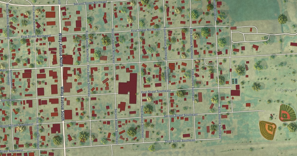
A detailed map of Lidgerwood, North Dakota, showing every building in its true location, the roads by name, and shaded topographical relief.
Read More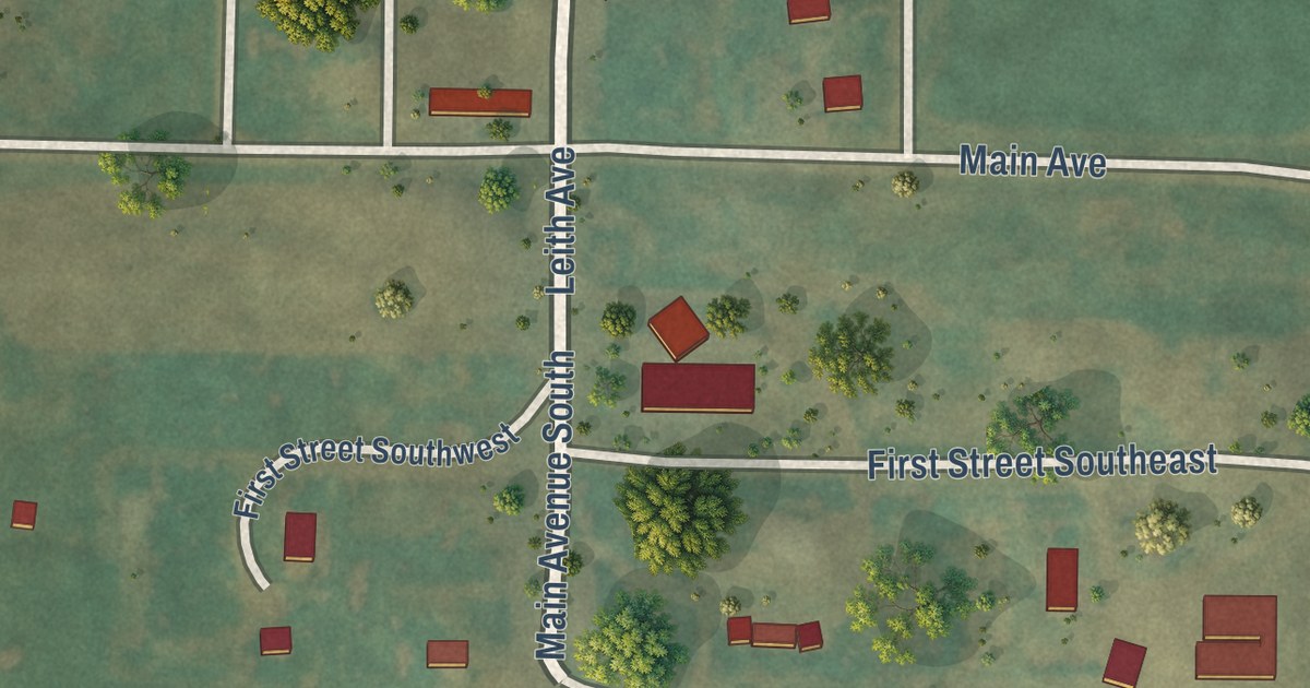
A detailed map of Leith, North Dakota, showing every building in its true location, the roads by name, and shaded topographical relief.
Read More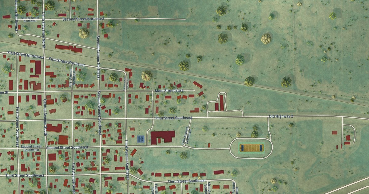
A detailed map of Leeds, North Dakota, showing every building in its true location, the roads by name, and shaded topographical relief.
Read More















