Detailed Map of Lawton, North Dakota
A detailed map of Lawton, North Dakota, showing every building in its true location, the roads by name, and shaded topographical relief.
Read More
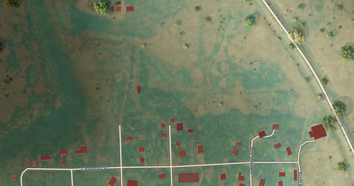
A detailed map of Lawton, North Dakota, showing every building in its true location, the roads by name, and shaded topographical relief.
Read More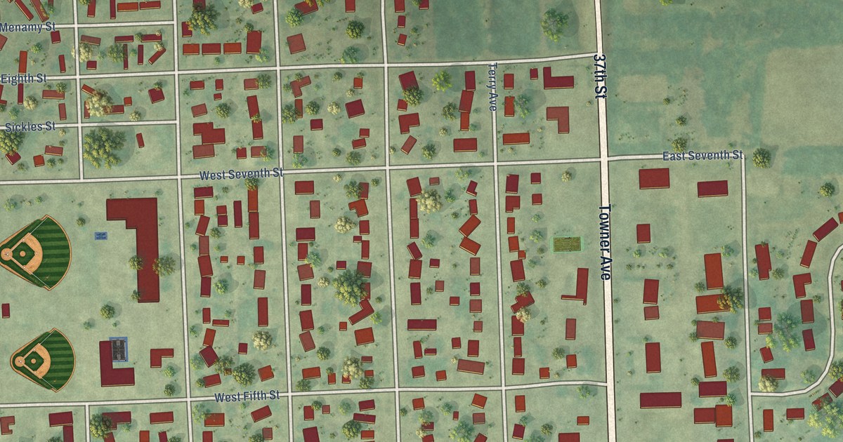
A detailed map of Larimore, North Dakota, showing every building in its true location, the roads by name, and shaded topographical relief.
Read More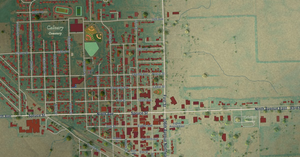
A detailed map of Langdon, North Dakota, showing every building in its true location, the roads by name, and shaded topographical relief.
Read More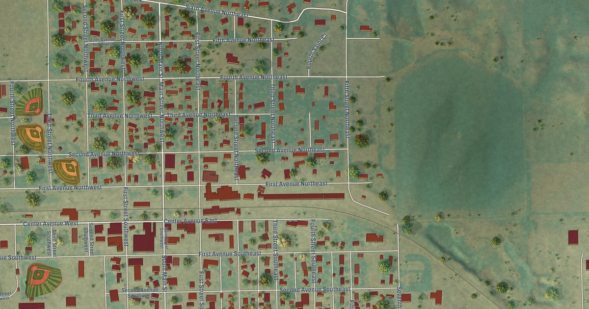
A detailed map of LaMoure, North Dakota, showing every building in its true location, the roads by name, and shaded topographical relief.
Read More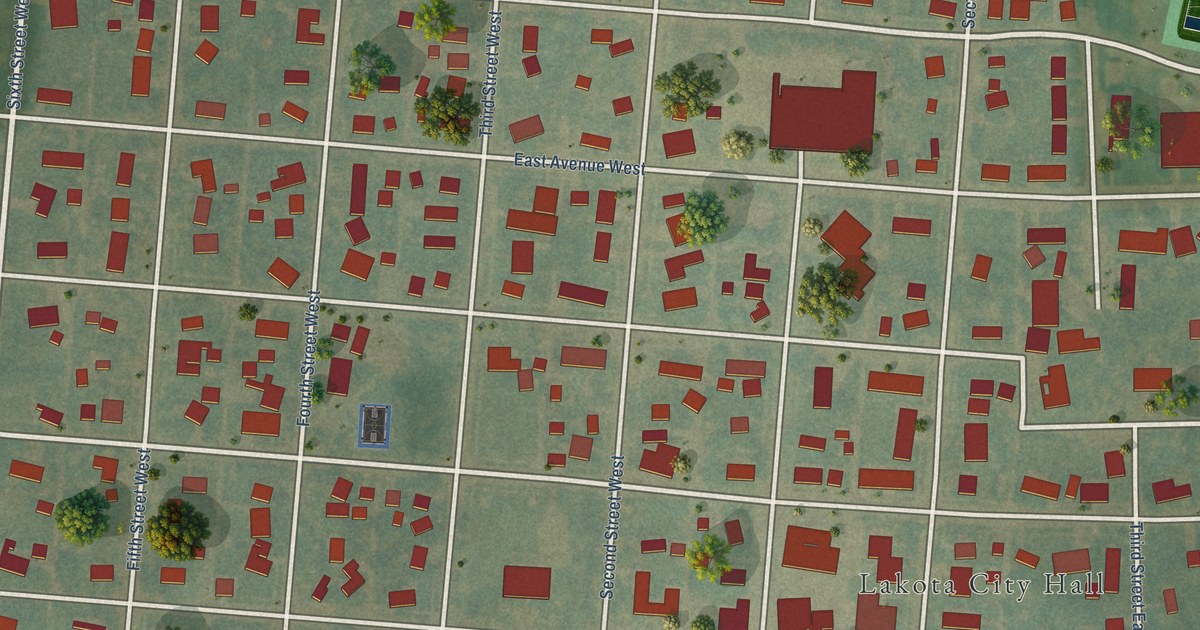
A detailed map of Lakota, North Dakota, showing every building in its true location, the roads by name, and shaded topographical relief.
Read More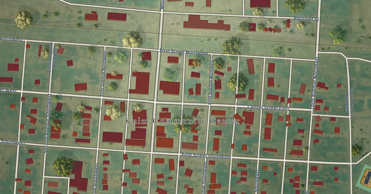
A detailed map of Kulm, North Dakota, showing every building in its true location, the roads by name, and shaded topographical relief.
Read More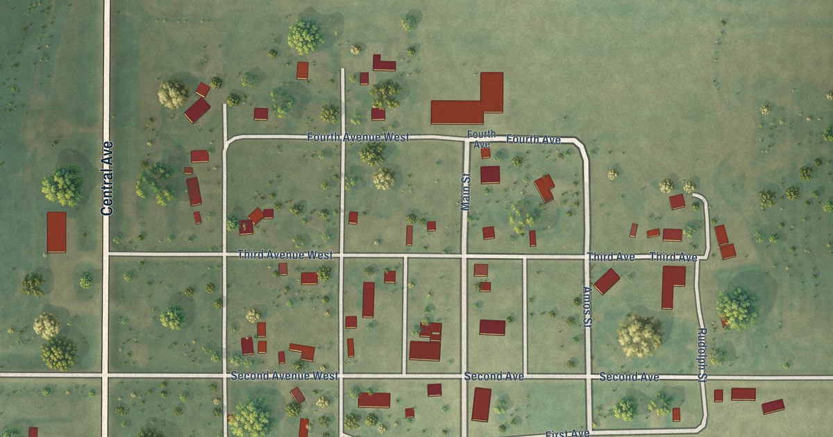
A detailed map of Kramer, North Dakota, showing every building in its true location, the roads by name, and shaded topographical relief.
Read More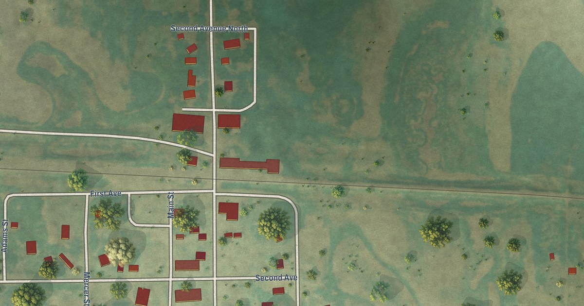
A detailed map of Knox, North Dakota, showing every building in its true location, the roads by name, and shaded topographical relief.
Read More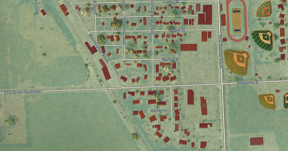
A detailed map of Kindred, North Dakota, showing every building in its true location, the roads by name, and shaded topographical relief.
Read More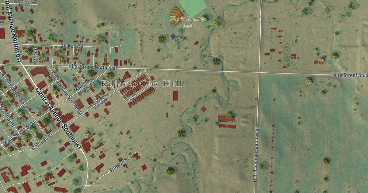
A detailed map of Killdeer, North Dakota, showing every building in its true location, the roads by name, and shaded topographical relief.
Read More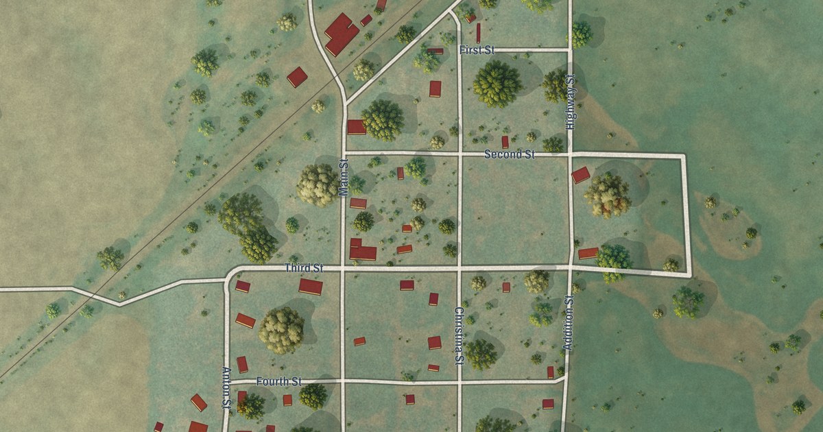
A detailed map of Kief, North Dakota, showing every building in its true location, the roads by name, and shaded topographical relief.
Read More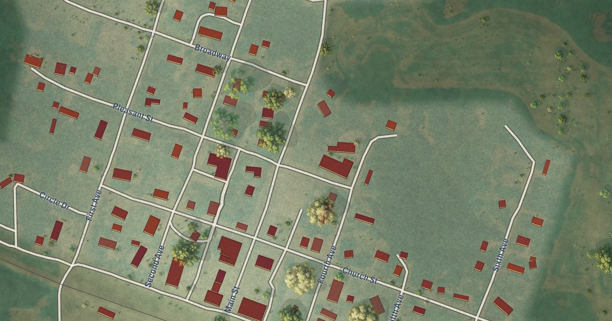
A detailed map of Kensal, North Dakota, showing every building in its true location, the roads by name, and shaded topographical relief.
Read More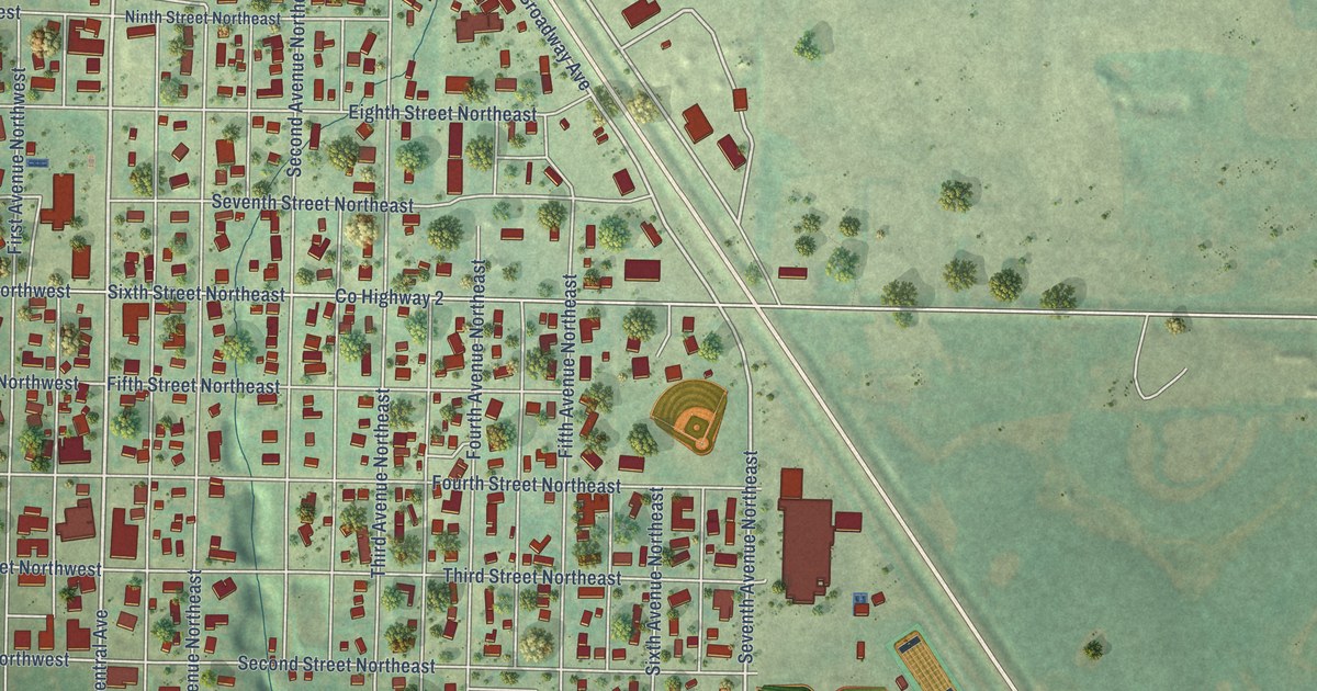
A detailed map of Kenmare, North Dakota, showing every building in its true location, the roads by name, and shaded topographical relief.
Read More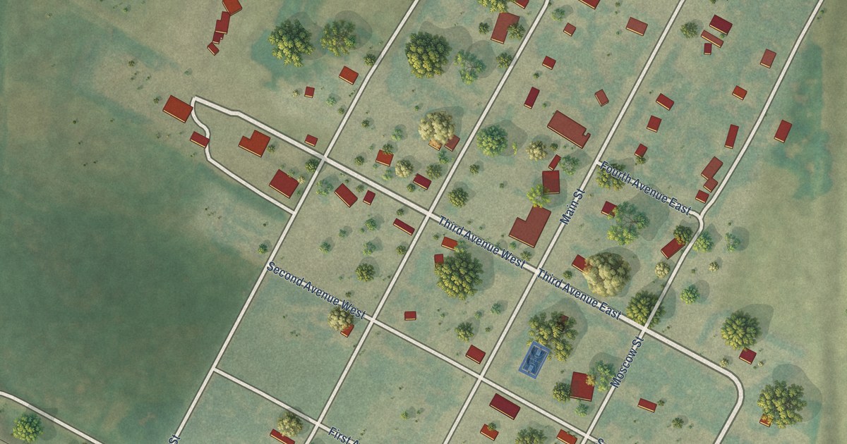
A detailed map of Karlsruhe, North Dakota, showing every building in its true location, the roads by name, and shaded topographical relief.
Read More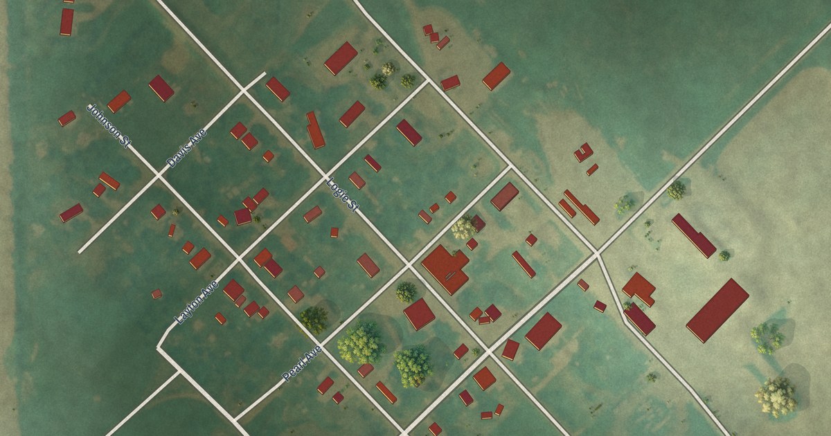
A detailed map of Jud, North Dakota, showing every building in its true location, the roads by name, and shaded topographical relief.
Read More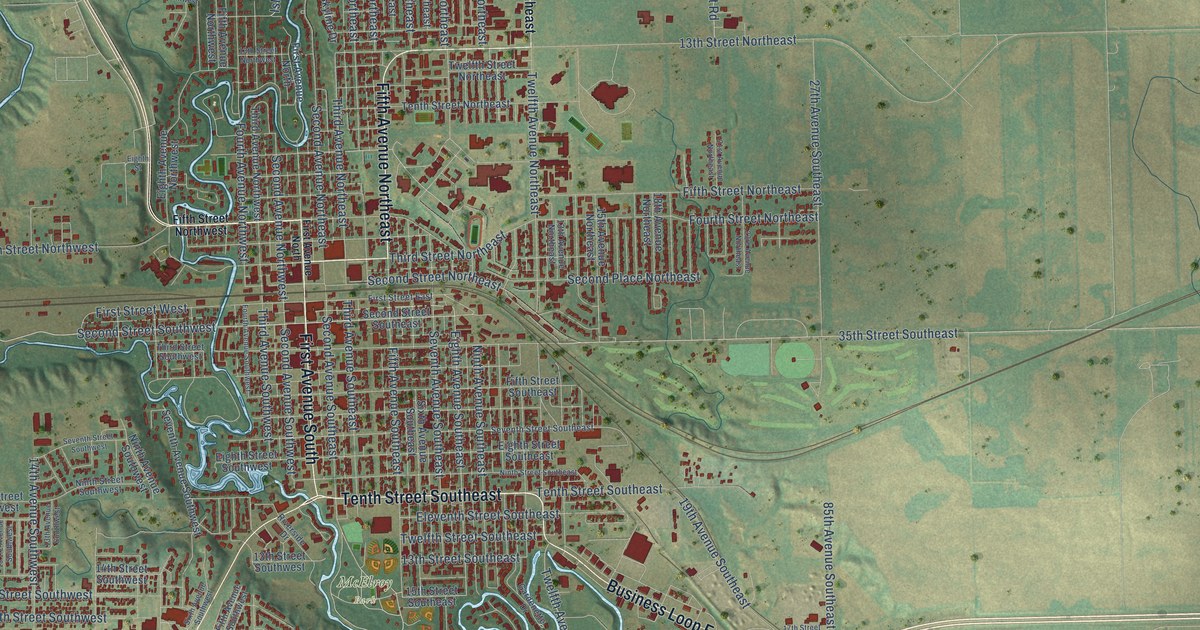
A detailed map of Jamestown, North Dakota, showing every building in its true location, the roads by name, and shaded topographical relief.
Read More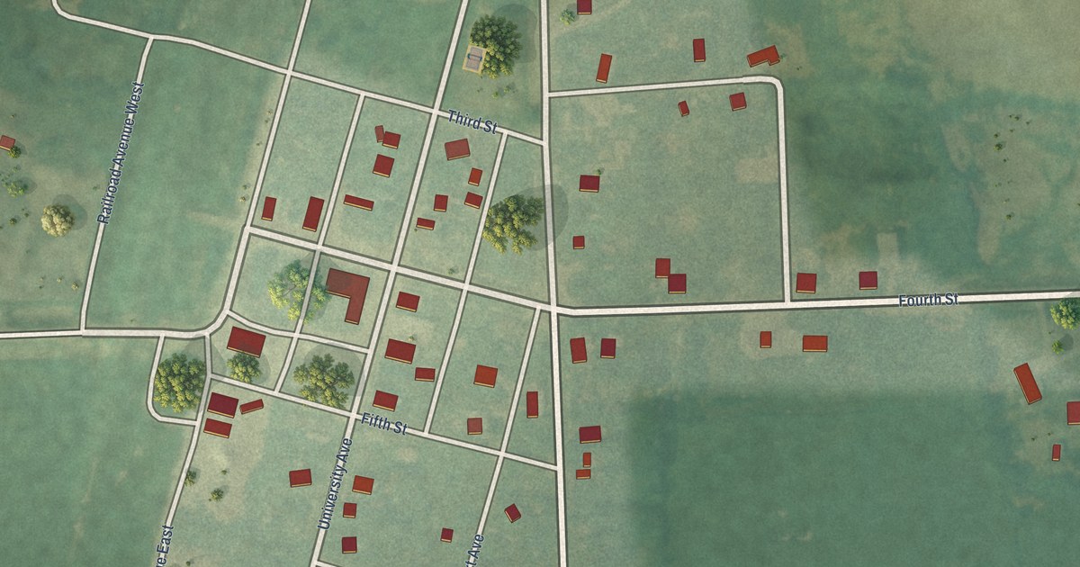
A detailed map of Inkster, North Dakota, showing every building in its true location, the roads by name, and shaded topographical relief.
Read More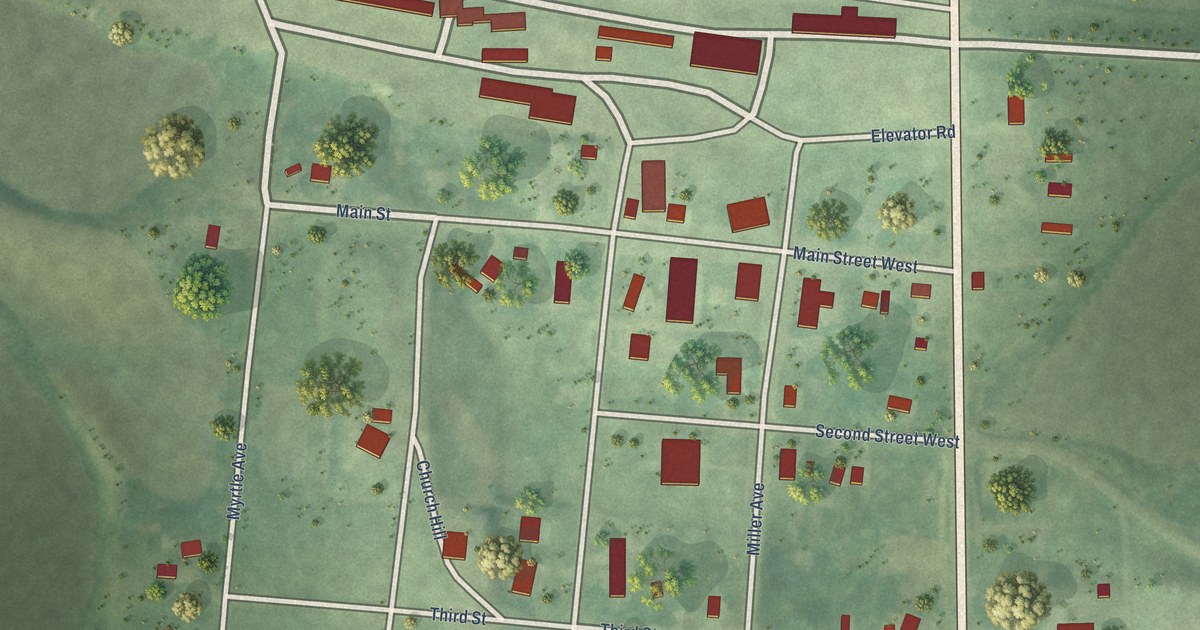
A detailed map of Hurdsfield, North Dakota, showing every building in its true location, the roads by name, and shaded topographical relief.
Read More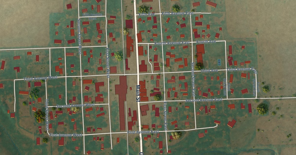
A detailed map of Hunter, North Dakota, showing every building in its true location, the roads by name, and shaded topographical relief.
Read More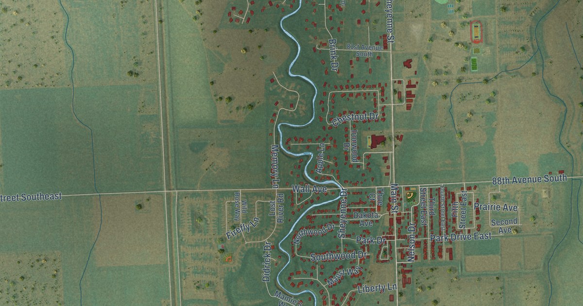
A detailed map of Horace, North Dakota, showing every building in its true location, the roads by name, and shaded topographical relief.
Read More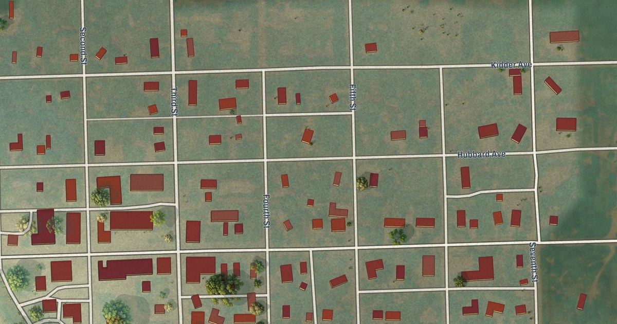
A detailed map of Hope, North Dakota, showing every building in its true location, the roads by name, and shaded topographical relief.
Read More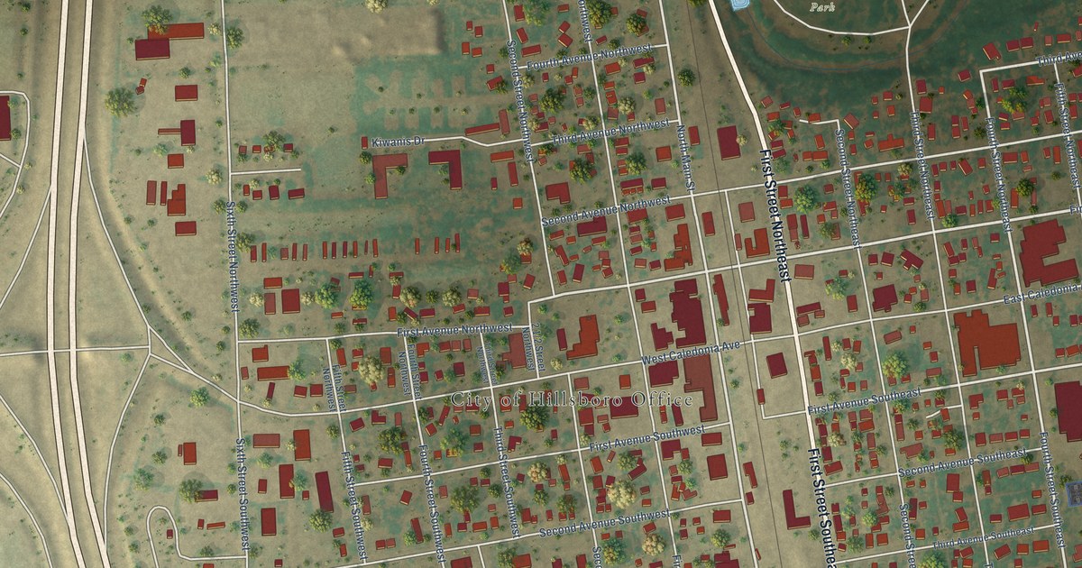
A detailed map of Hillsboro, North Dakota, showing every building in its true location, the roads by name, and shaded topographical relief.
Read More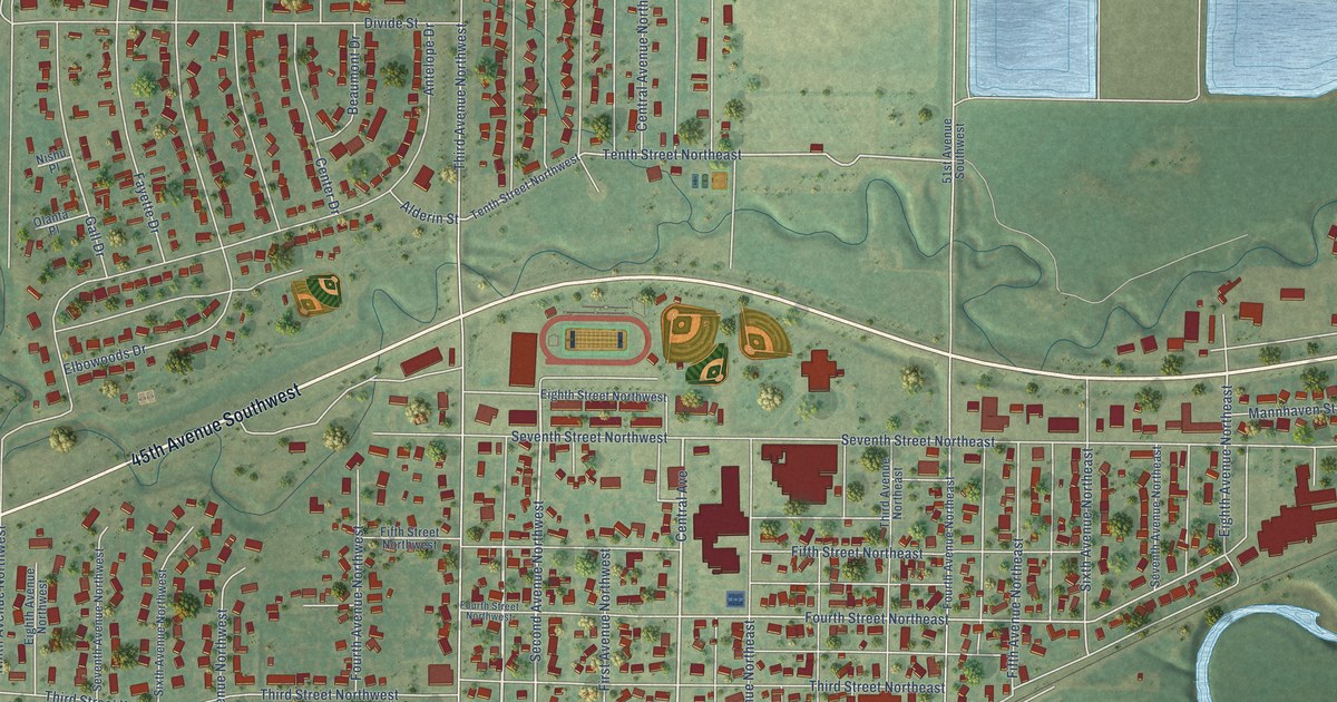
A detailed map of Hazen, North Dakota, showing every building in its true location, the roads by name, and shaded topographical relief.
Read More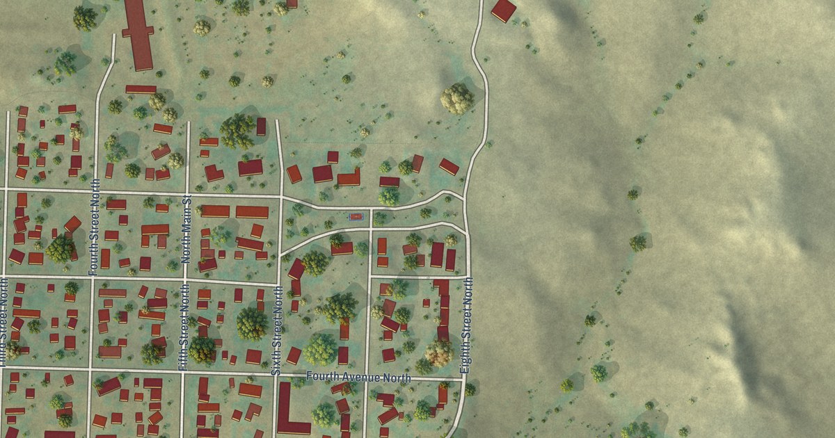
A detailed map of Hettinger, North Dakota, showing every building in its true location, the roads by name, and shaded topographical relief.
Read More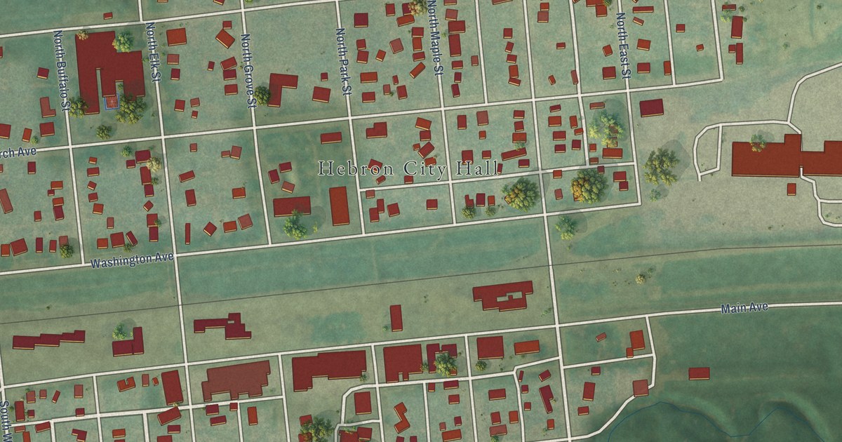
A detailed map of Hebron, North Dakota, showing every building in its true location, the roads by name, and shaded topographical relief.
Read More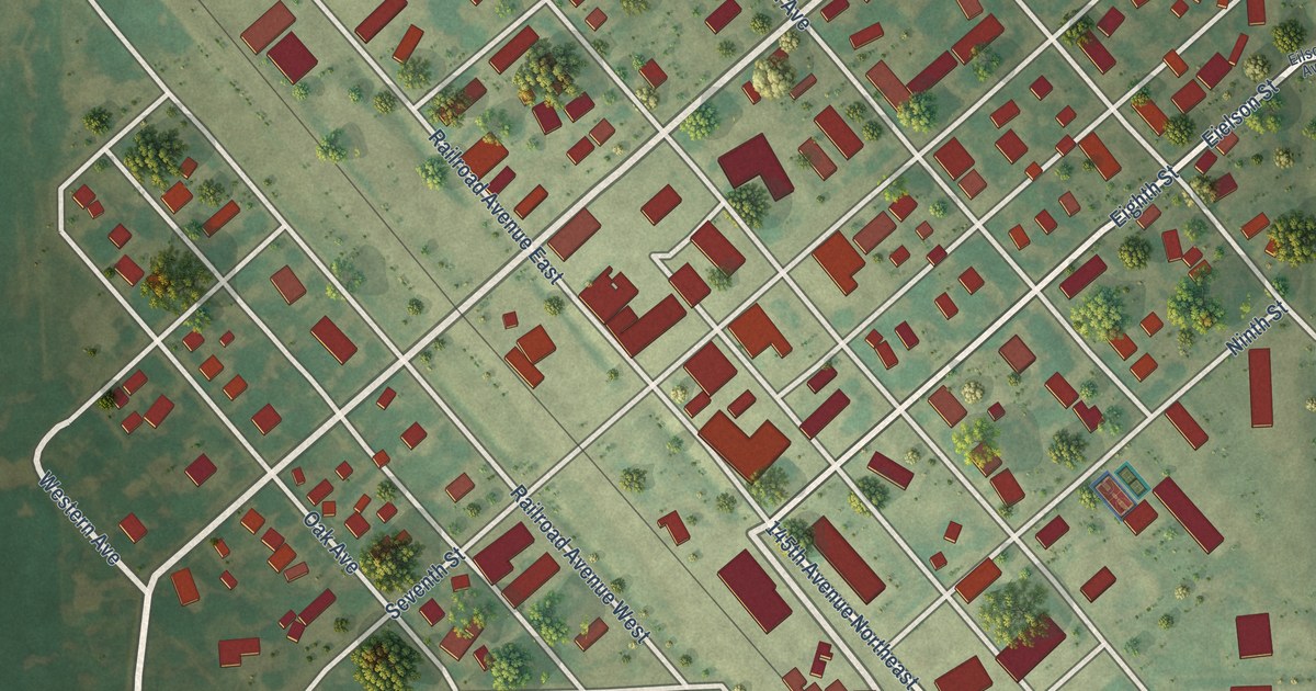
A detailed map of Hatton, North Dakota, showing every building in its true location, the roads by name, and shaded topographical relief.
Read More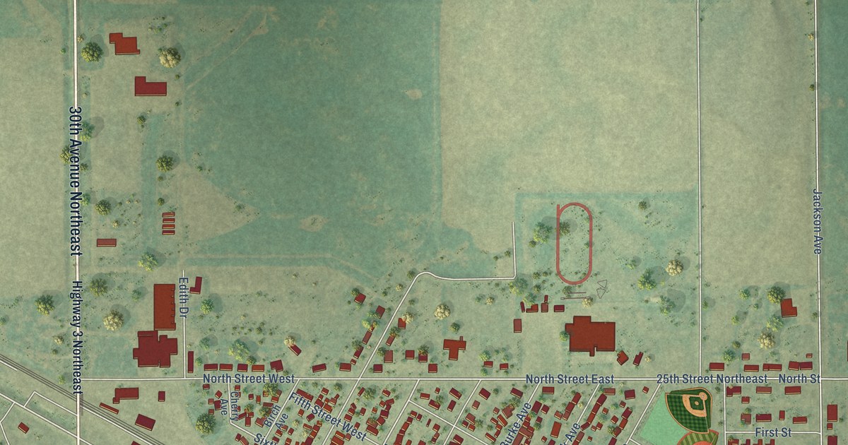
A detailed map of Harvey, North Dakota, showing every building in its true location, the roads by name, and shaded topographical relief.
Read More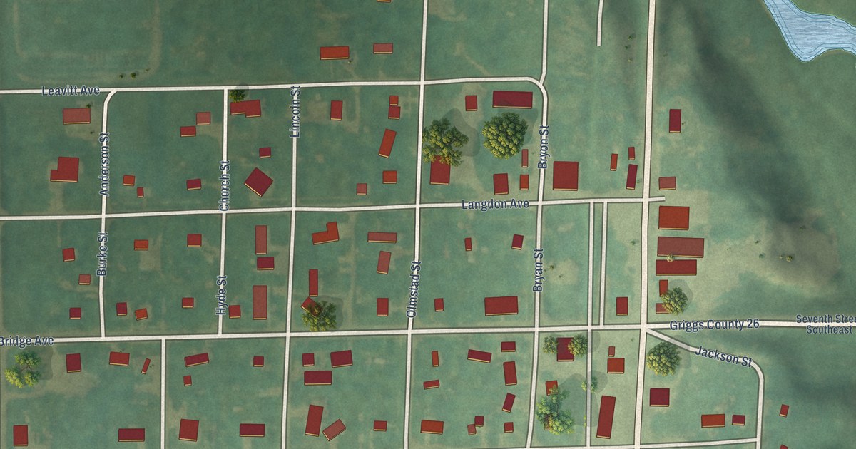
A detailed map of Hannaford, North Dakota, showing every building in its true location, the roads by name, and shaded topographical relief.
Read More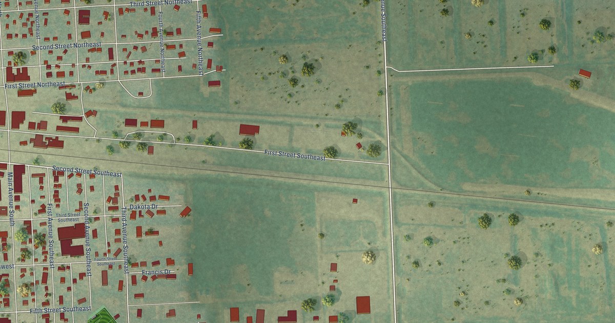
A detailed map of Hankinson, North Dakota, showing every building in its true location, the roads by name, and shaded topographical relief.
Read More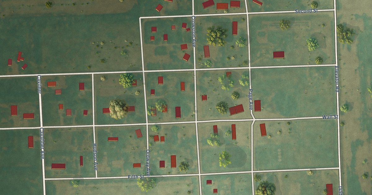
A detailed map of Hamilton, North Dakota, showing every building in its true location, the roads by name, and shaded topographical relief.
Read More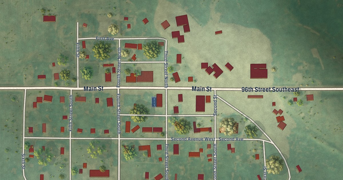
A detailed map of Hague, North Dakota, showing every building in its true location, the roads by name, and shaded topographical relief.
Read More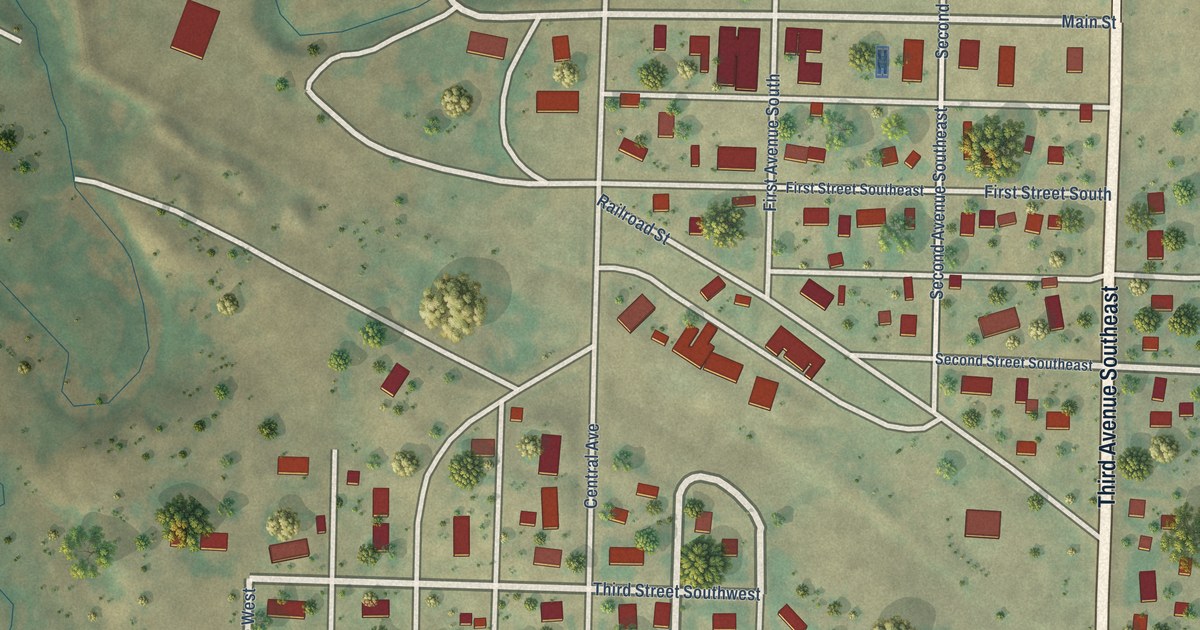
A detailed map of Halliday, North Dakota, showing every building in its true location, the roads by name, and shaded topographical relief.
Read More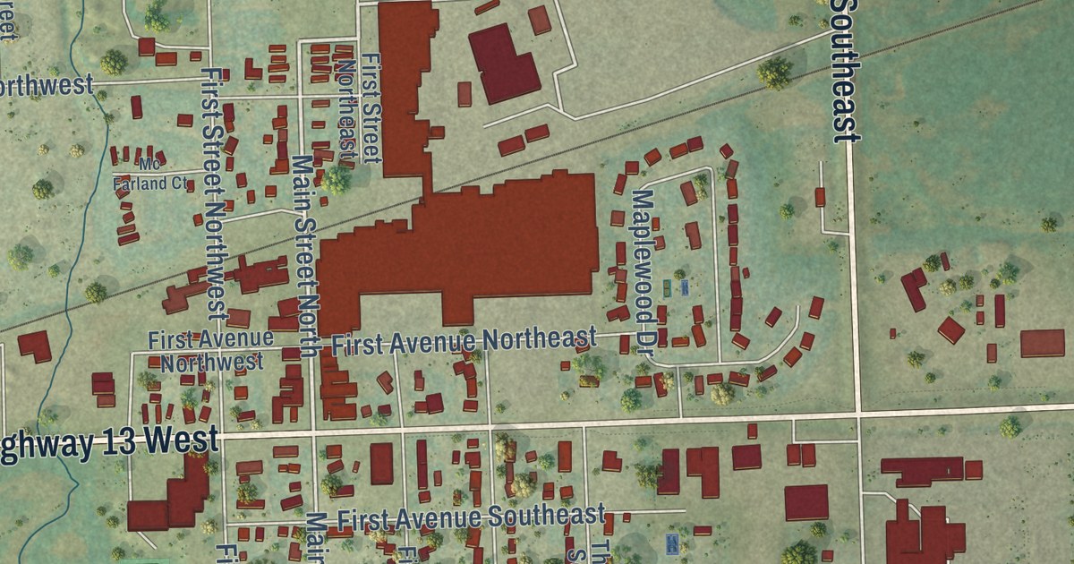
A detailed map of Gwinner, North Dakota, showing every building in its true location, the roads by name, and shaded topographical relief.
Read More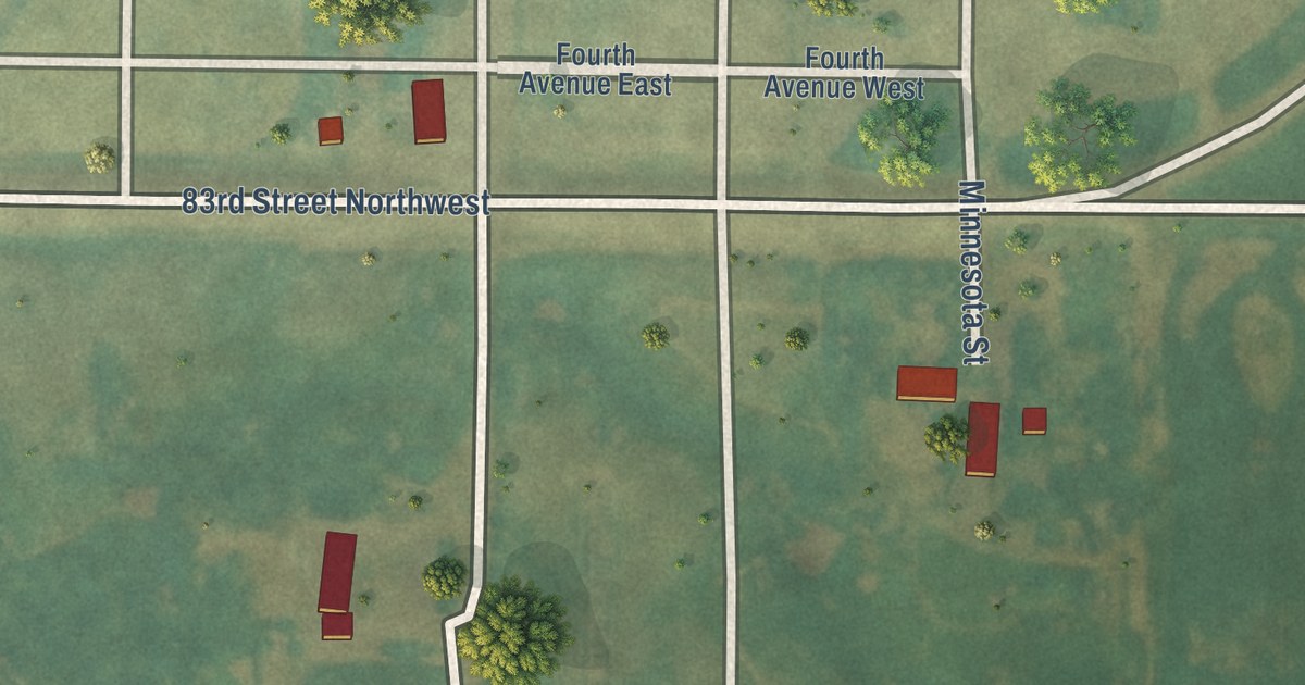
A detailed map of Grano, North Dakota, showing every building in its true location, the roads by name, and shaded topographical relief.
Read More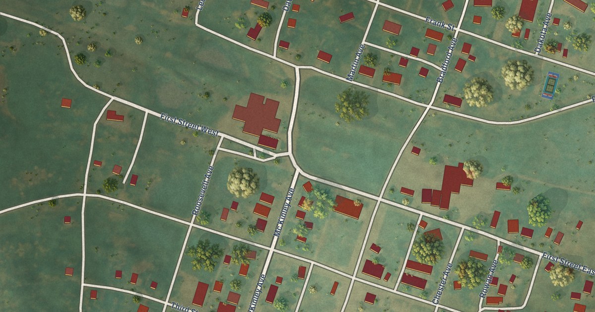
A detailed map of Goodrich, North Dakota, showing every building in its true location, the roads by name, and shaded topographical relief.
Read More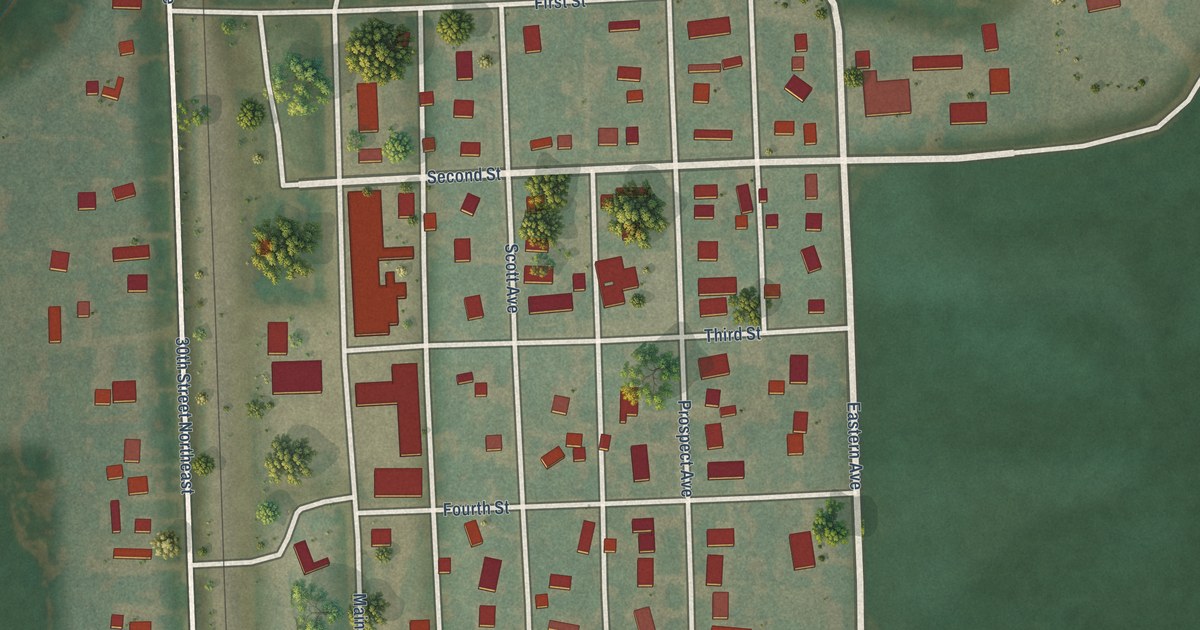
A detailed map of Gilby, North Dakota, showing every building in its true location, the roads by name, and shaded topographical relief.
Read More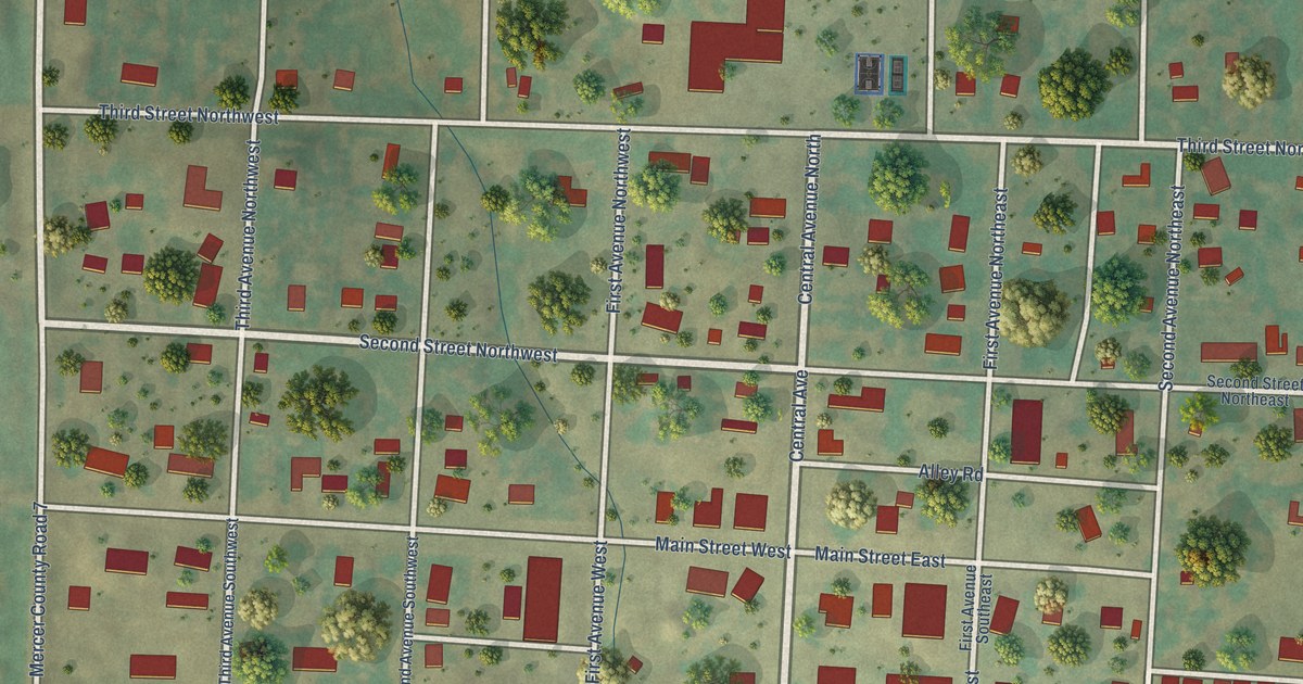
A detailed map of Golden Valley, North Dakota, showing every building in its true location, the roads by name, and shaded topographical relief.
Read More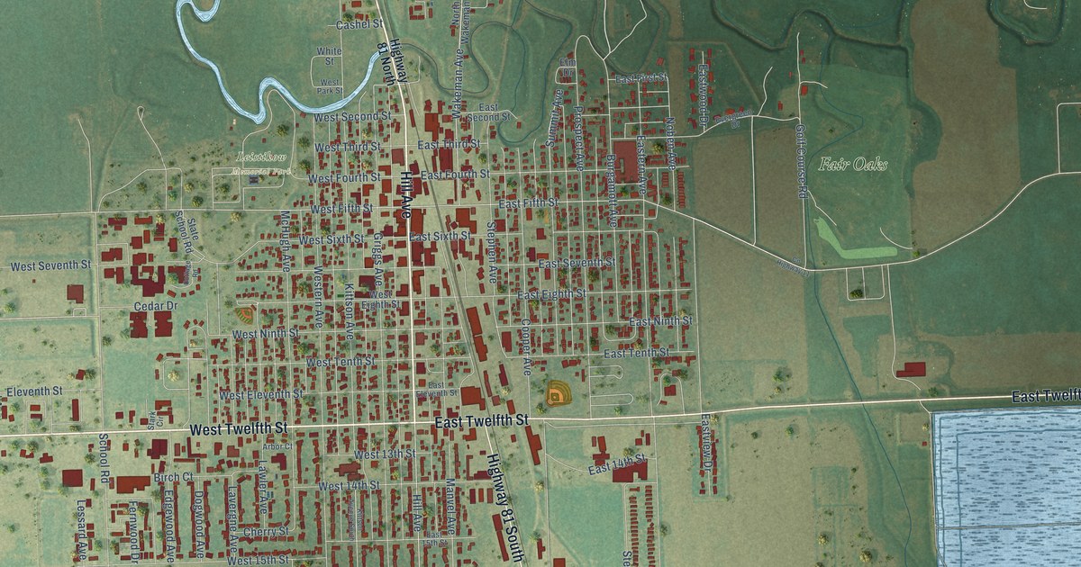
A detailed map of Grafton, North Dakota, showing every building in its true location, the roads by name, and shaded topographical relief.
Read More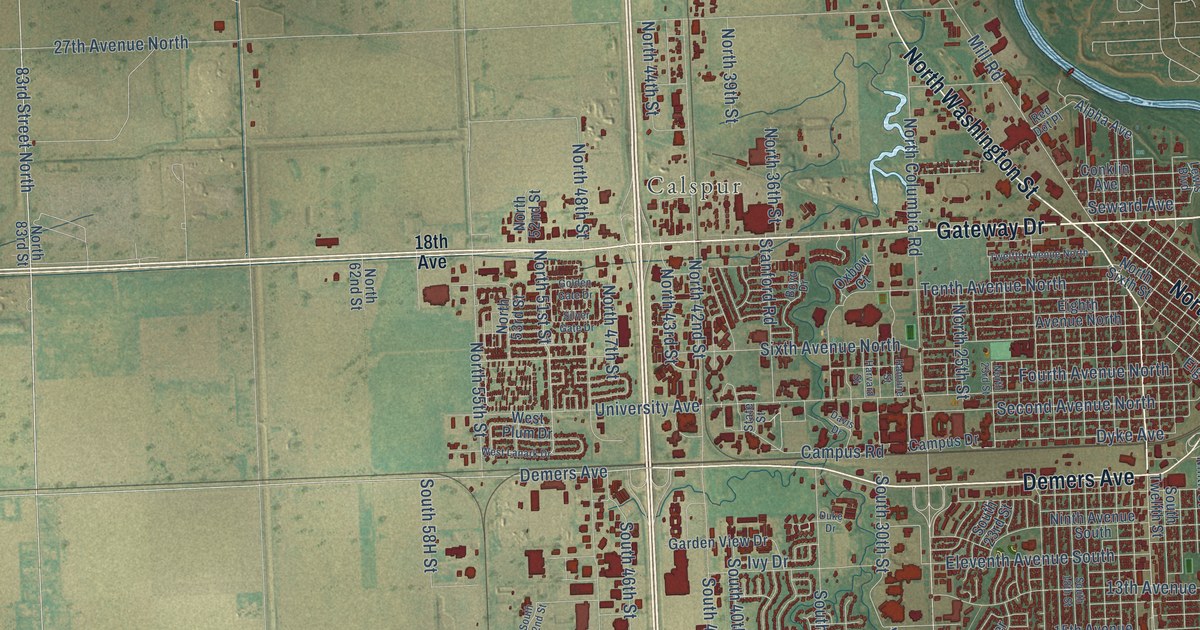
A detailed map of Grand Forks, North Dakota, showing every building in its true location, the roads by name, and shaded topographical relief.
Read More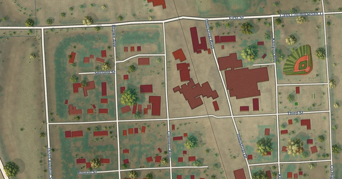
A detailed map of Grandin, North Dakota, showing every building in its true location, the roads by name, and shaded topographical relief.
Read More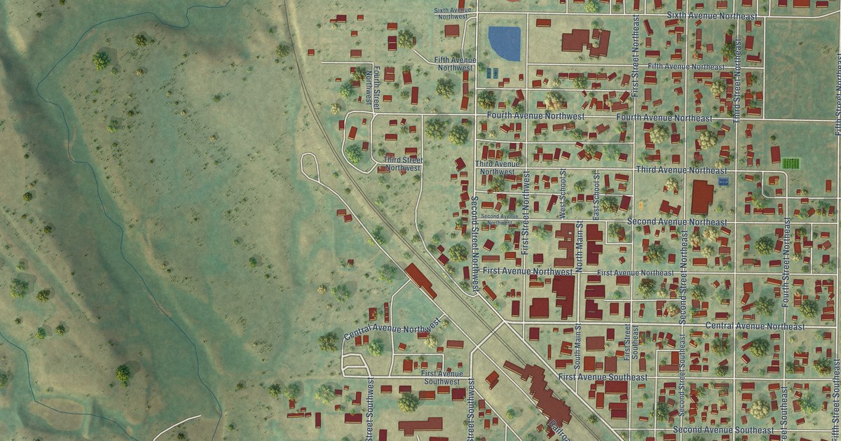
A detailed map of Garrison, North Dakota, showing every building in its true location, the roads by name, and shaded topographical relief.
Read More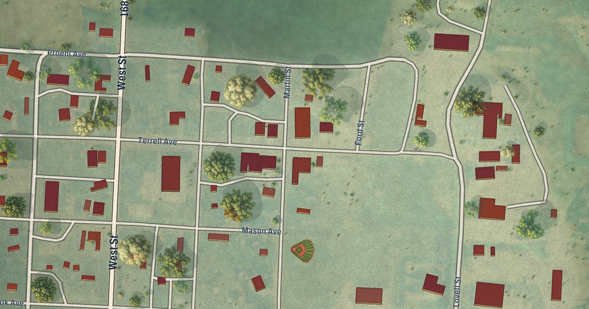
A detailed map of Golva, North Dakota, showing every building in its true location, the roads by name, and shaded topographical relief.
Read More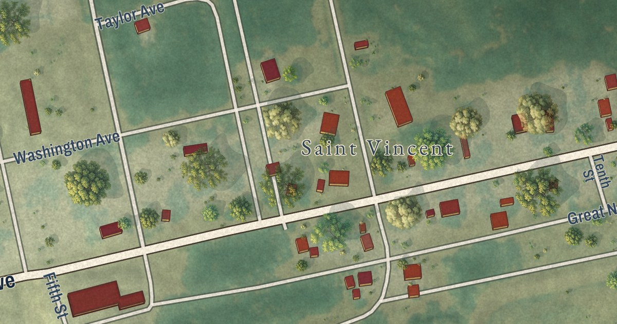
A detailed map of St. Vincent, Minnesota, showing every building in its true location, the roads by name, and shaded topographical relief.
Read More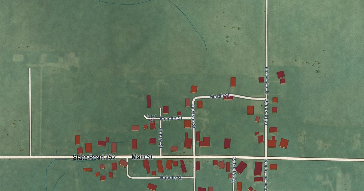
A detailed map of Mount Carmel, Indiana, showing every building in its true location, the roads by name, and shaded topographical relief.
Read More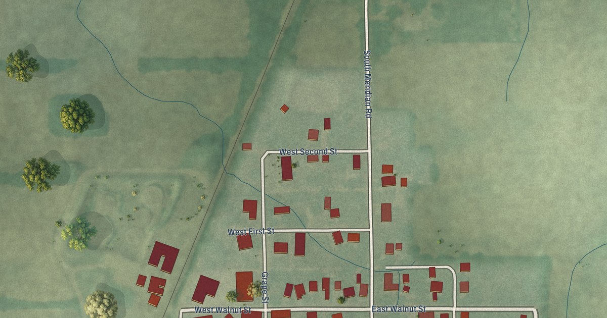
A detailed map of Poneto, Indiana, showing every building in its true location, the roads by name, and shaded topographical relief.
Read More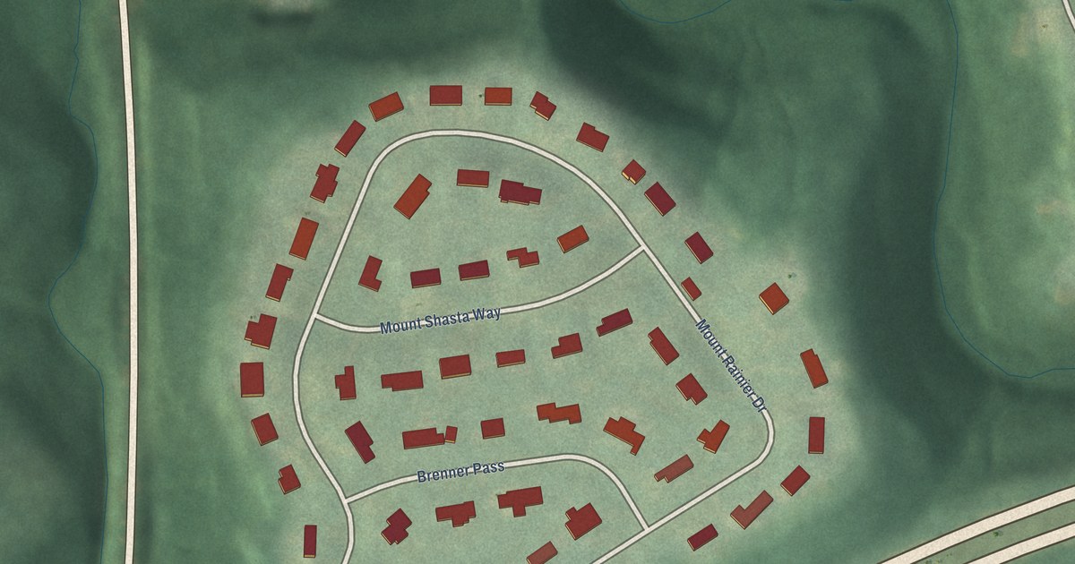
A detailed map of Hills and Dales, Kentucky, showing every building in its true location, the roads by name, and shaded topographical relief.
Read More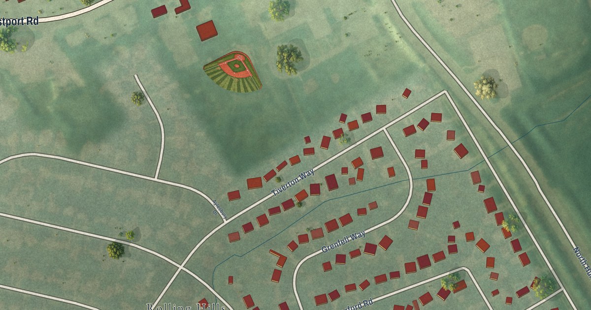
A detailed map of Meadow Vale, Kentucky, showing every building in its true location, the roads by name, and shaded topographical relief.
Read More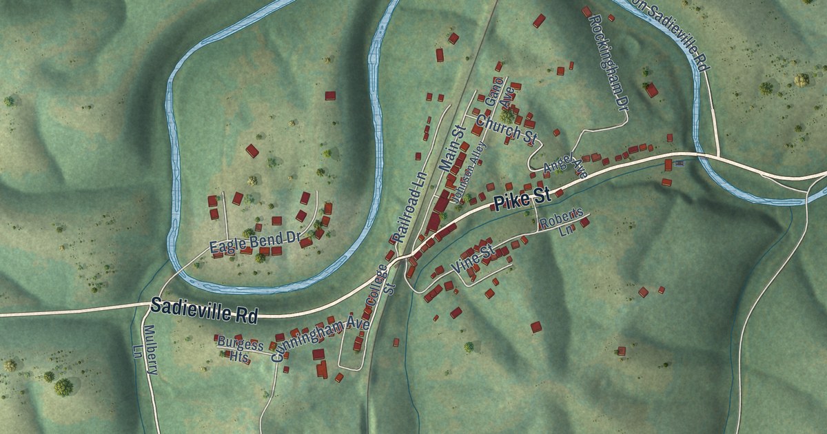
A detailed map of Sadieville, Kentucky, showing every building in its true location, the roads by name, and shaded topographical relief.
Read More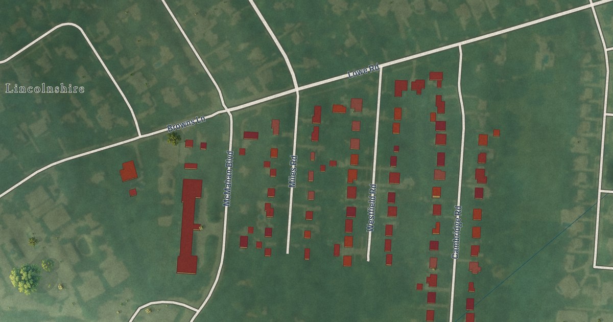
A detailed map of Cambridge, Kentucky, showing every building in its true location, the roads by name, and shaded topographical relief.
Read More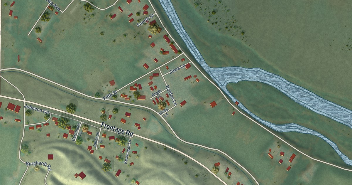
A detailed map of Grand View, Idaho, showing every building in its true location, the roads by name, and shaded topographical relief.
Read More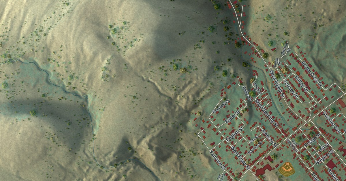
A detailed map of West Wyoming, Pennsylvania, showing every building in its true location, the roads by name, and shaded topographical relief.
Read More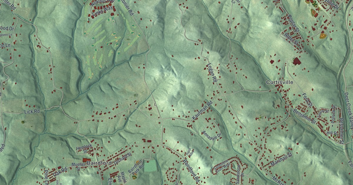
A detailed map of West Deer, Pennsylvania, showing every building in its true location, the roads by name, and shaded topographical relief.
Read More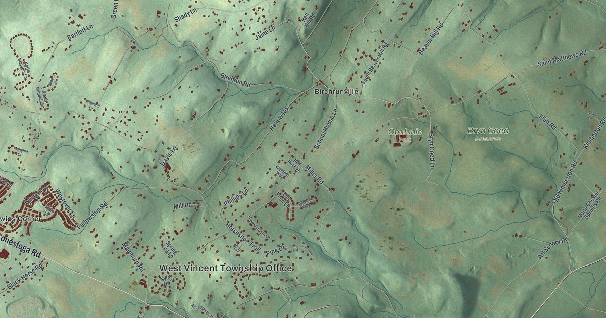
A detailed map of West Vincent, Pennsylvania, showing every building in its true location, the roads by name, and shaded topographical relief.
Read More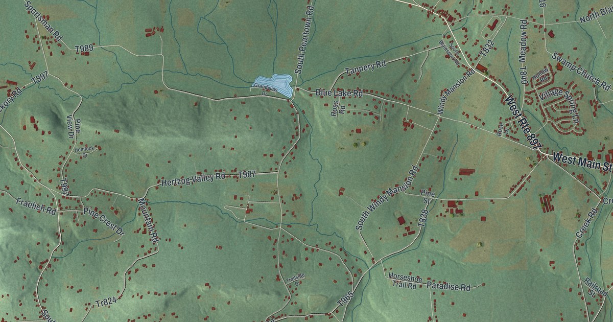
A detailed map of West Cocalico, Pennsylvania, showing every building in its true location, the roads by name, and shaded topographical relief.
Read More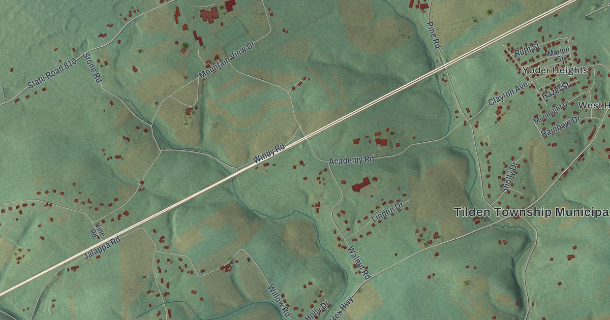
A detailed map of Tilden, Pennsylvania, showing every building in its true location, the roads by name, and shaded topographical relief.
Read More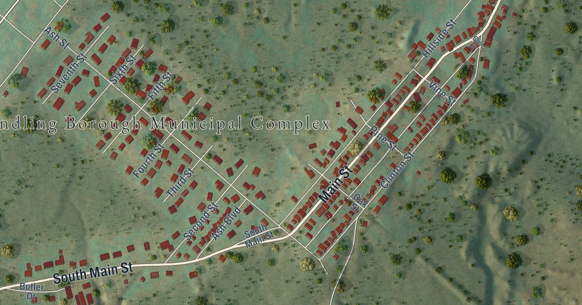
A detailed map of Vandling, Pennsylvania, showing every building in its true location, the roads by name, and shaded topographical relief.
Read More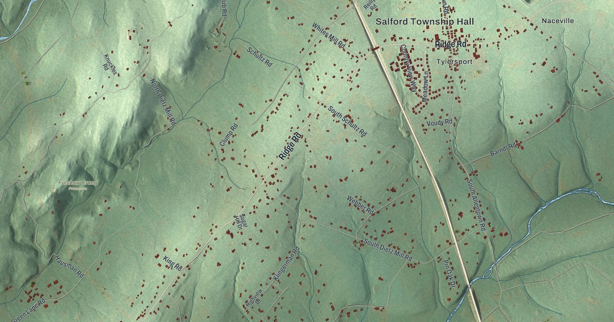
A detailed map of Salford, Pennsylvania, showing every building in its true location, the roads by name, and shaded topographical relief.
Read More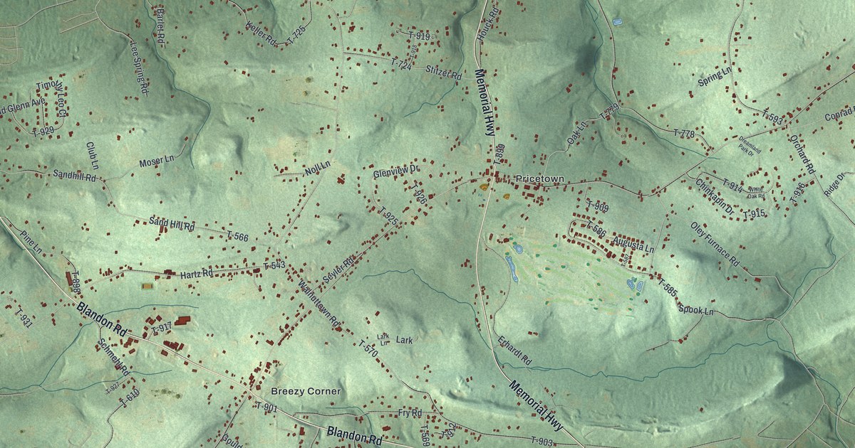
A detailed map of Ruscombmanor, Pennsylvania, showing every building in its true location, the roads by name, and shaded topographical relief.
Read More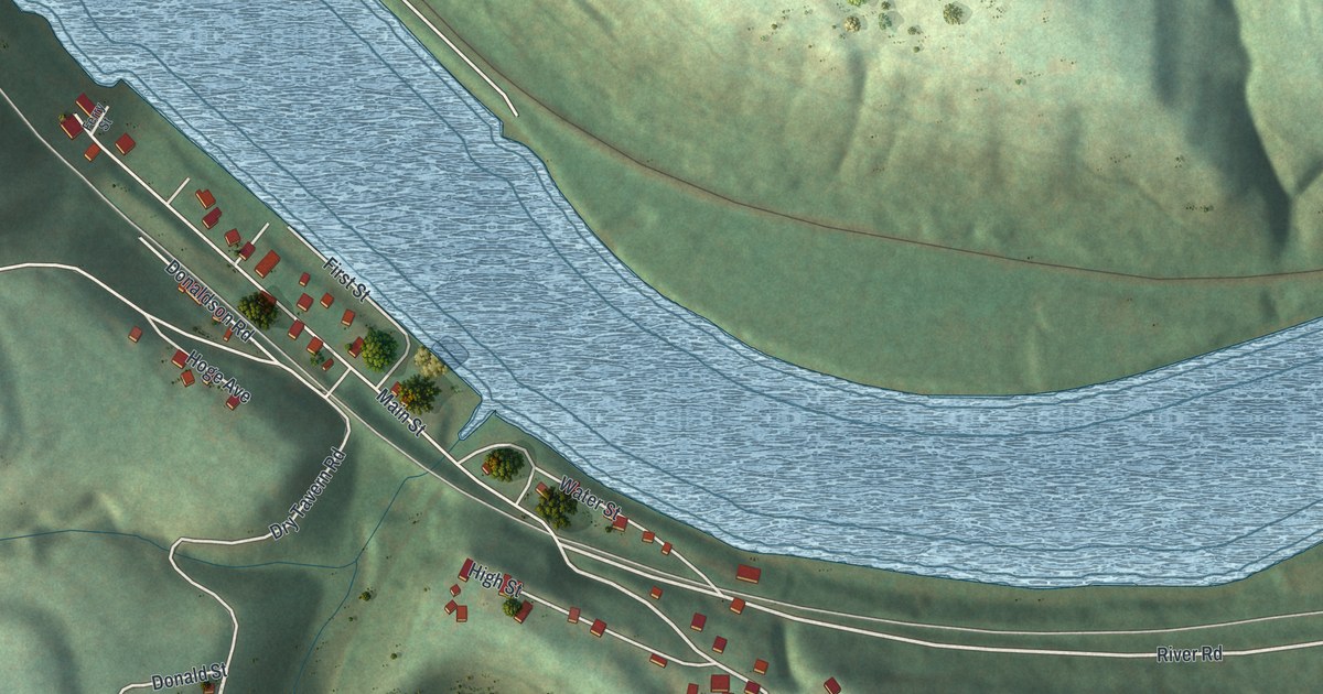
A detailed map of Rices Landing, Pennsylvania, showing every building in its true location, the roads by name, and shaded topographical relief.
Read More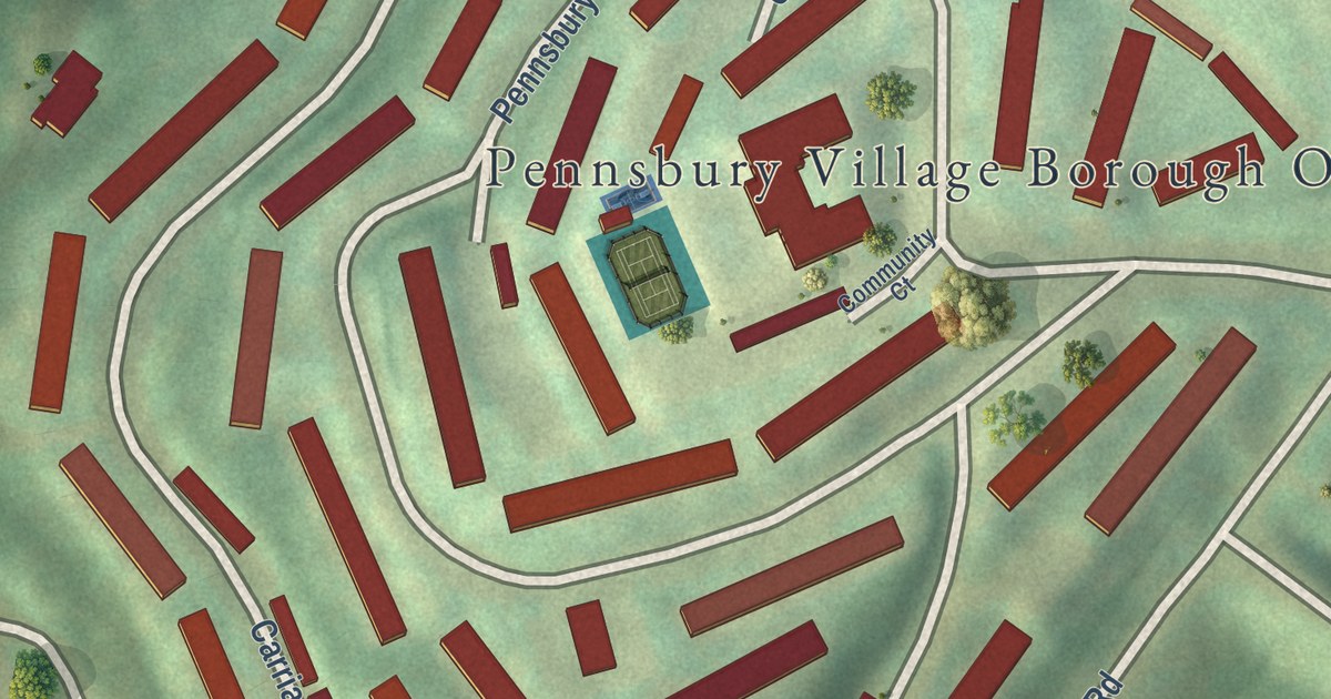
A detailed map of Pennsbury Village, Pennsylvania, showing every building in its true location, the roads by name, and shaded topographical relief.
Read More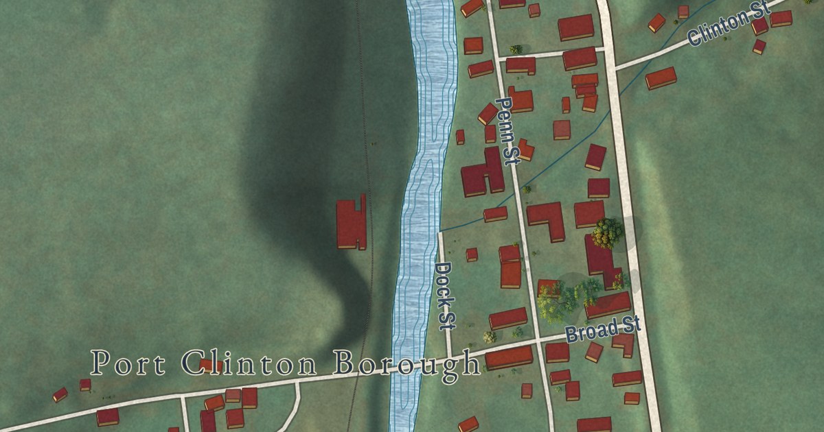
A detailed map of Port Clinton, Pennsylvania, showing every building in its true location, the roads by name, and shaded topographical relief.
Read More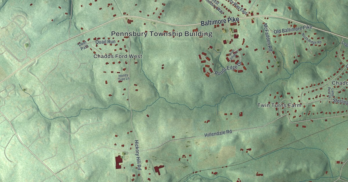
A detailed map of Pennsbury, Pennsylvania, showing every building in its true location, the roads by name, and shaded topographical relief.
Read More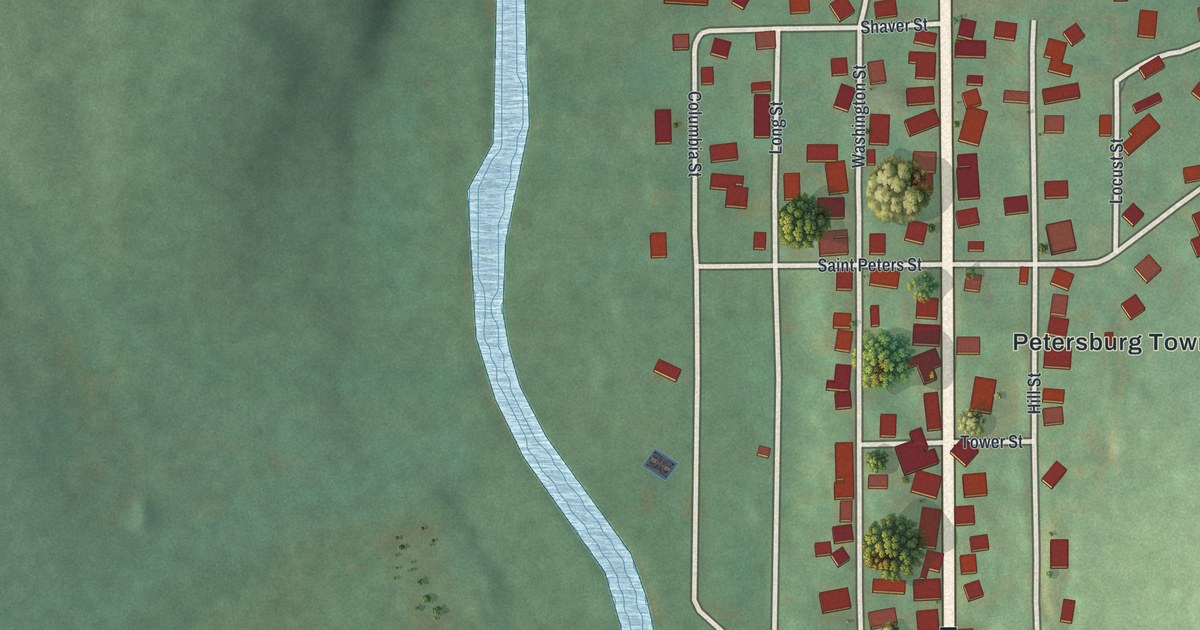
A detailed map of Petersburg, Pennsylvania, showing every building in its true location, the roads by name, and shaded topographical relief.
Read More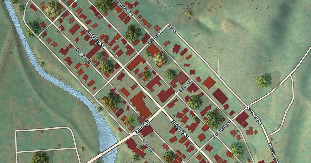
A detailed map of Orbisonia, Pennsylvania, showing every building in its true location, the roads by name, and shaded topographical relief.
Read More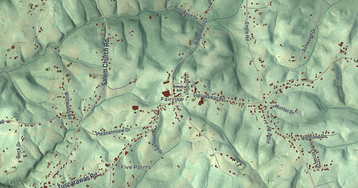
A detailed map of Ohioville, Pennsylvania, showing every building in its true location, the roads by name, and shaded topographical relief.
Read More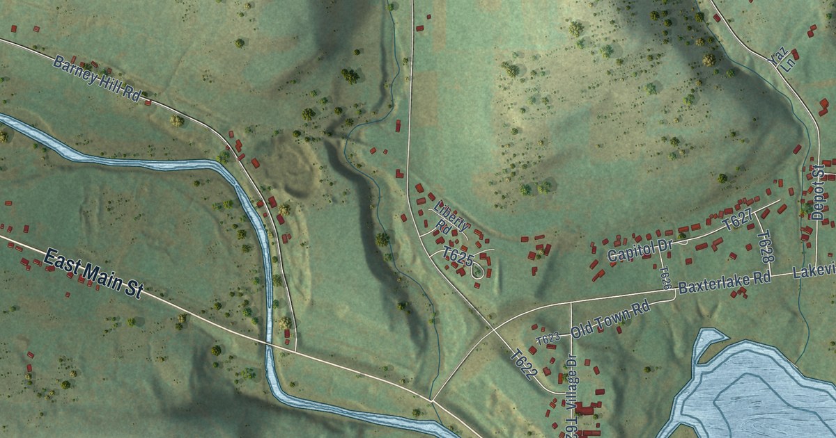
A detailed map of Nelson, Pennsylvania, showing every building in its true location, the roads by name, and shaded topographical relief.
Read More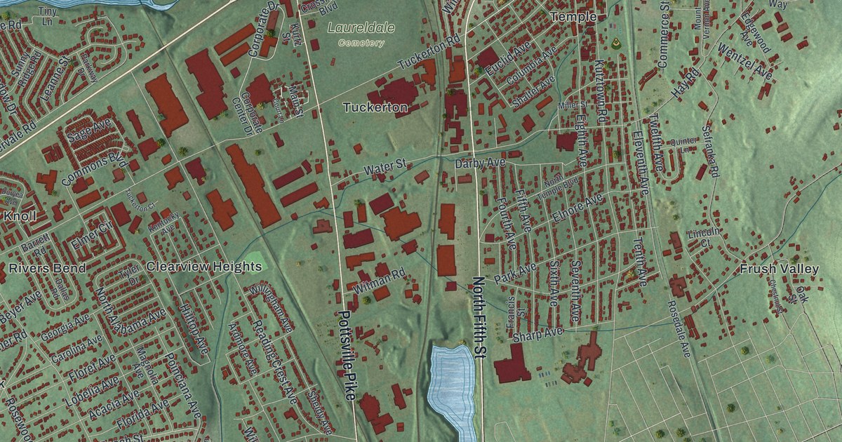
A detailed map of Muhlenberg, Pennsylvania, showing every building in its true location, the roads by name, and shaded topographical relief.
Read More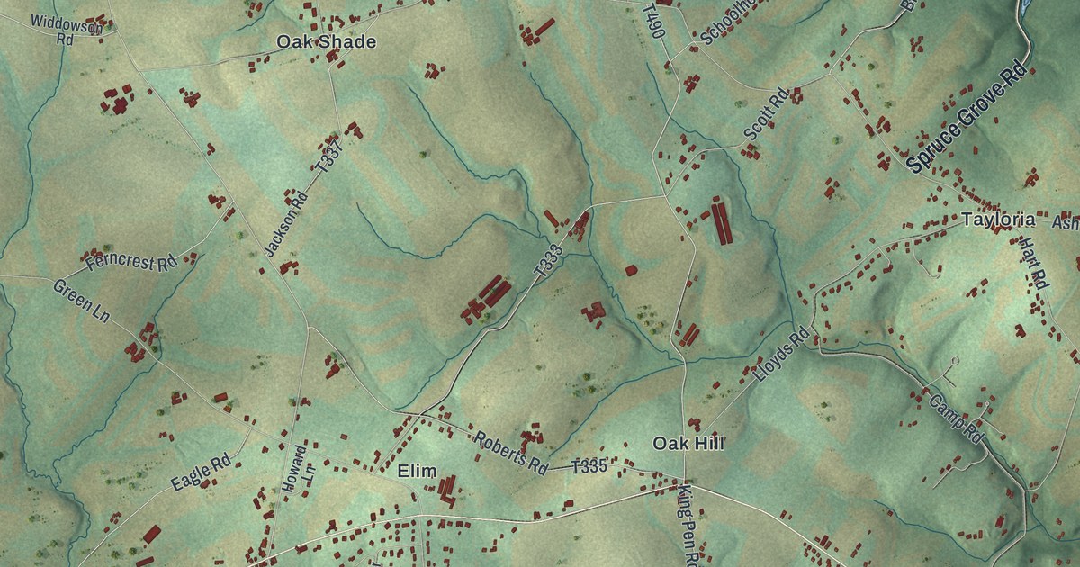
A detailed map of Little Britain, Pennsylvania, showing every building in its true location, the roads by name, and shaded topographical relief.
Read More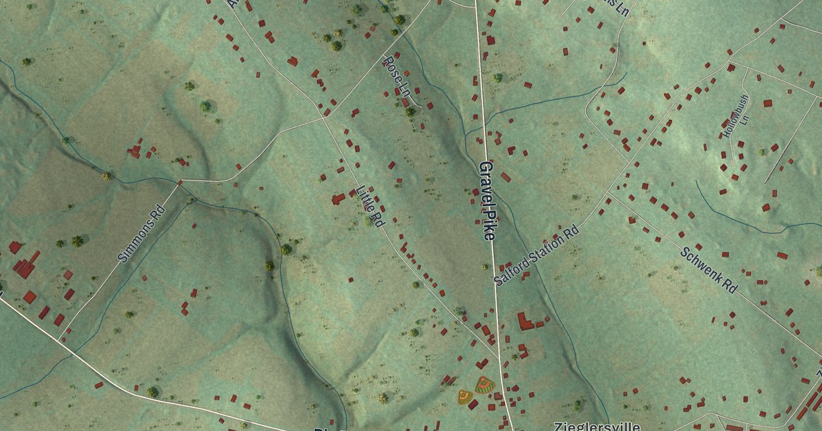
A detailed map of Lower Frederick, Pennsylvania, showing every building in its true location, the roads by name, and shaded topographical relief.
Read More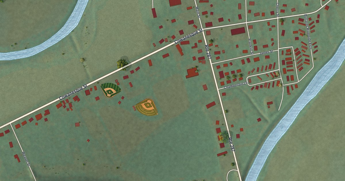
A detailed map of Lawrenceville, Pennsylvania, showing every building in its true location, the roads by name, and shaded topographical relief.
Read More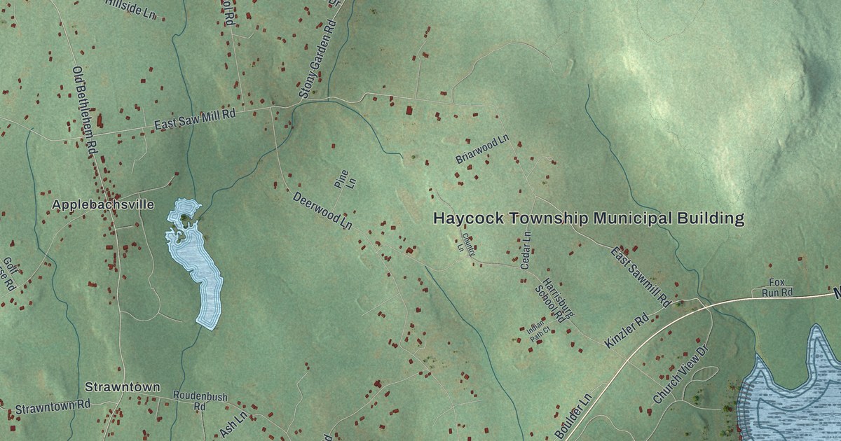
A detailed map of Haycock, Pennsylvania, showing every building in its true location, the roads by name, and shaded topographical relief.
Read More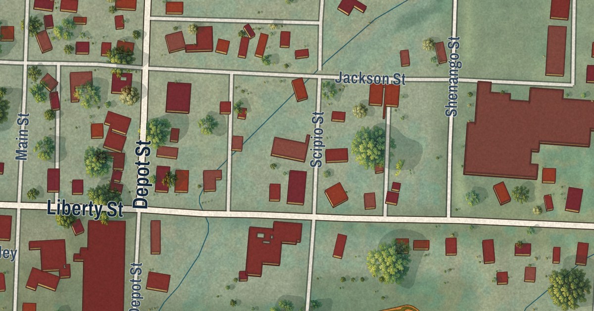
A detailed map of Jamestown, Pennsylvania, showing every building in its true location, the roads by name, and shaded topographical relief.
Read More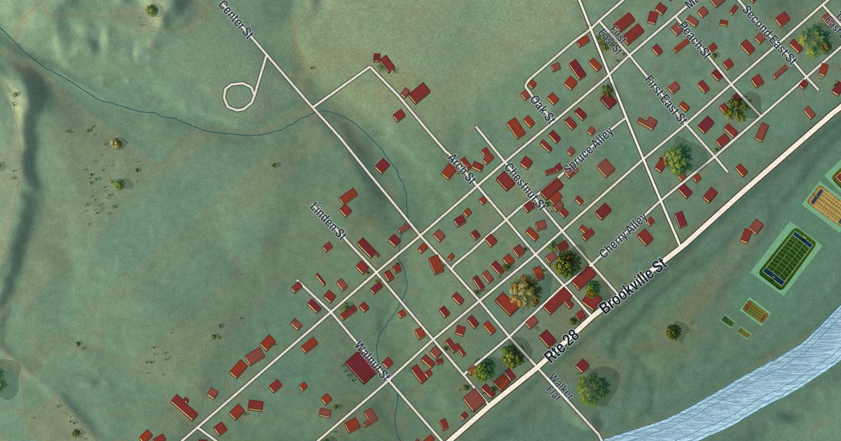
A detailed map of Hawthorn, Pennsylvania, showing every building in its true location, the roads by name, and shaded topographical relief.
Read More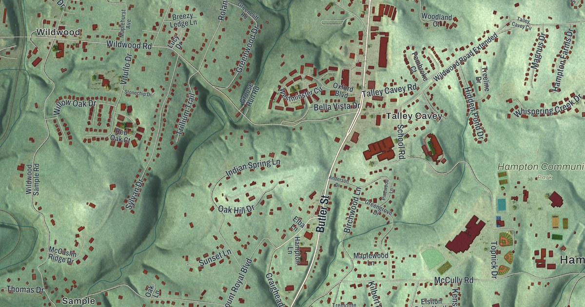
A detailed map of Hampton, Pennsylvania, showing every building in its true location, the roads by name, and shaded topographical relief.
Read More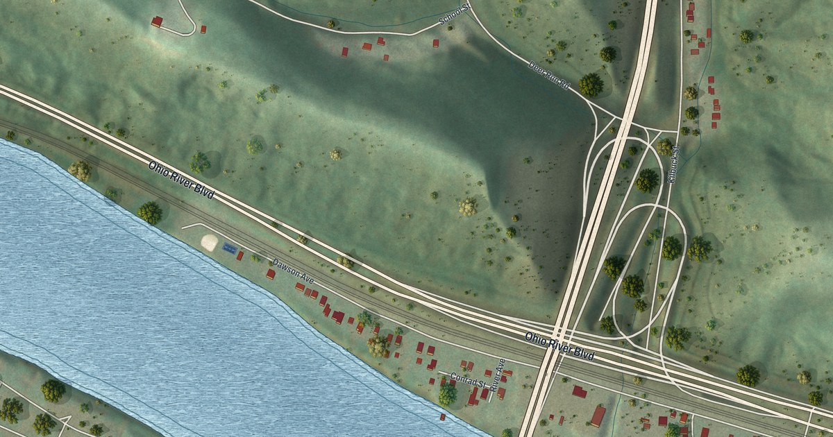
A detailed map of Glenfield, Pennsylvania, showing every building in its true location, the roads by name, and shaded topographical relief.
Read More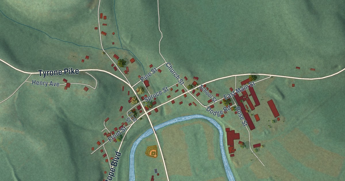
A detailed map of Glen Hope, Pennsylvania, showing every building in its true location, the roads by name, and shaded topographical relief.
Read More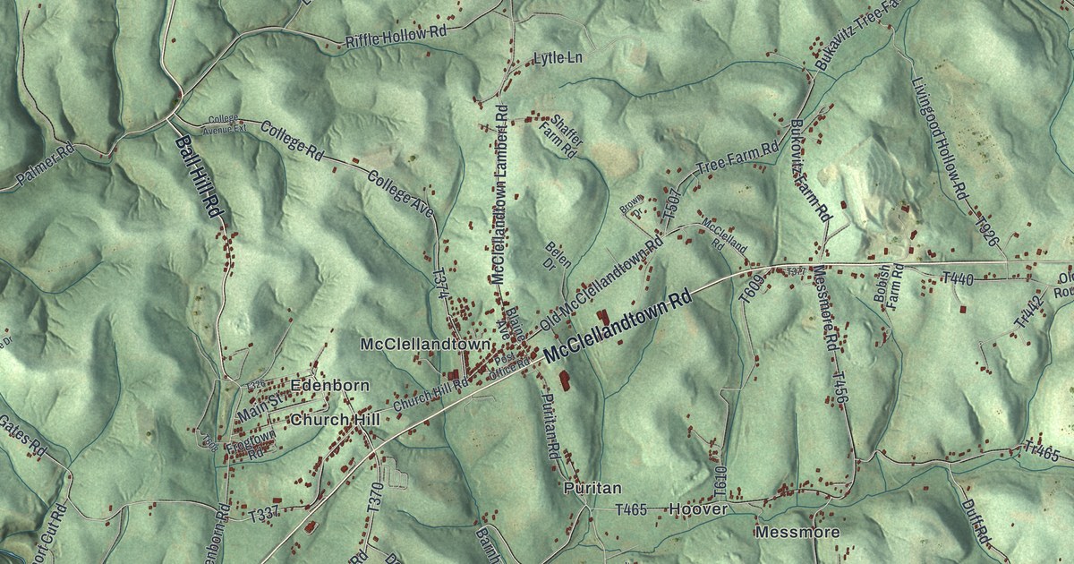
A detailed map of German, Pennsylvania, showing every building in its true location, the roads by name, and shaded topographical relief.
Read More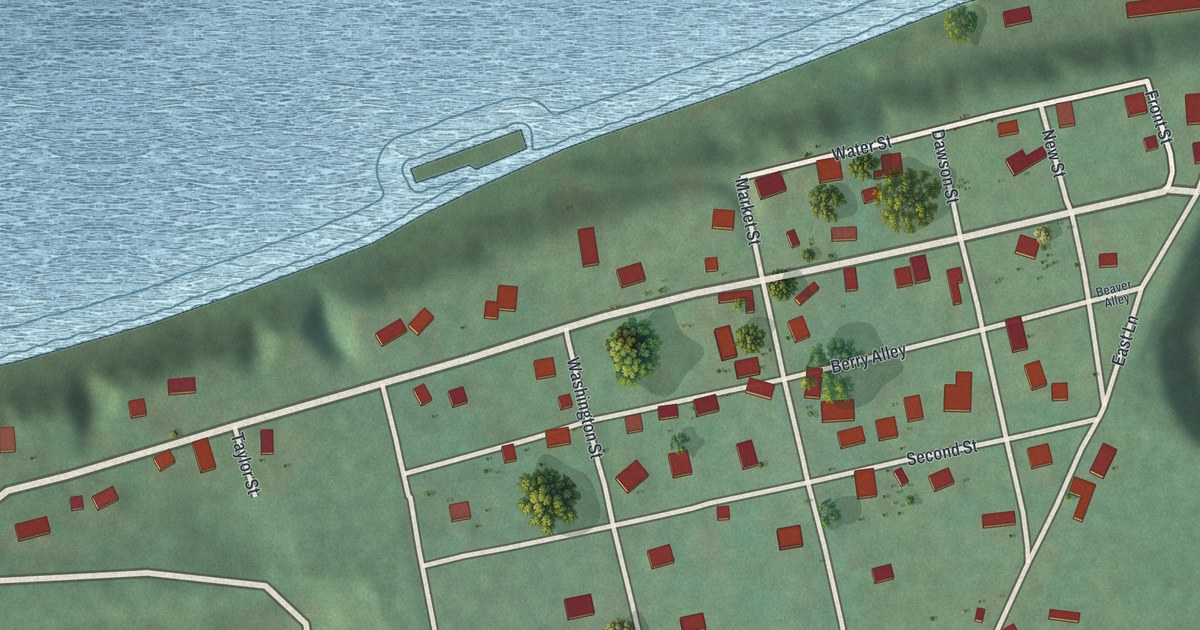
A detailed map of Georgetown, Pennsylvania, showing every building in its true location, the roads by name, and shaded topographical relief.
Read More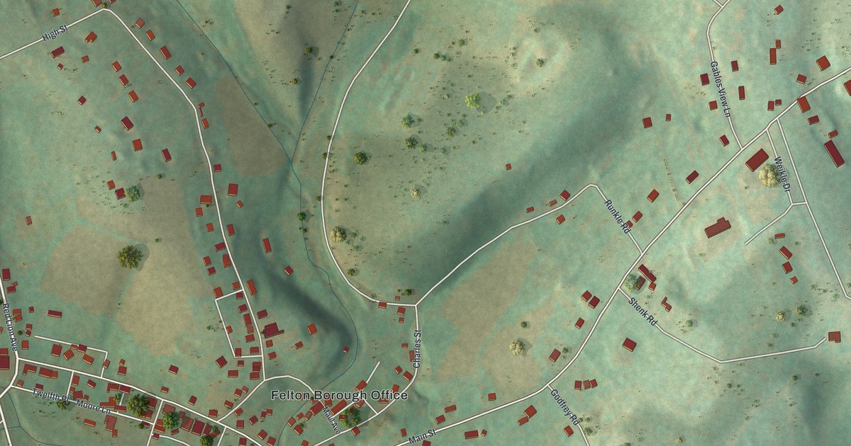
A detailed map of Felton, Pennsylvania, showing every building in its true location, the roads by name, and shaded topographical relief.
Read More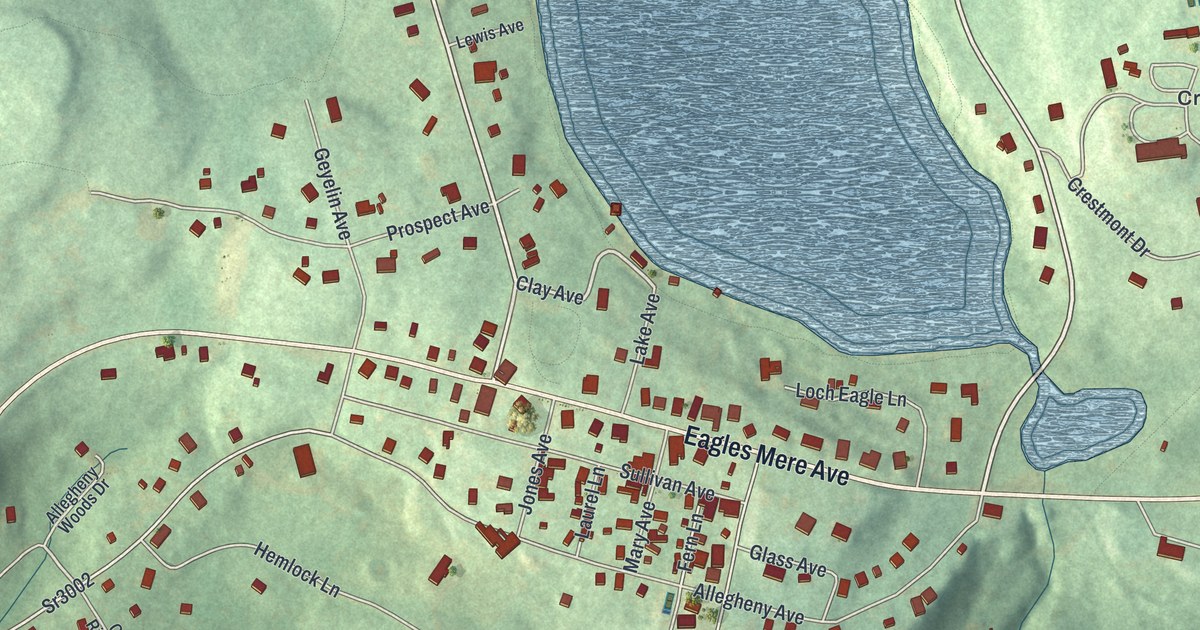
A detailed map of Eagles Mere, Pennsylvania, showing every building in its true location, the roads by name, and shaded topographical relief.
Read More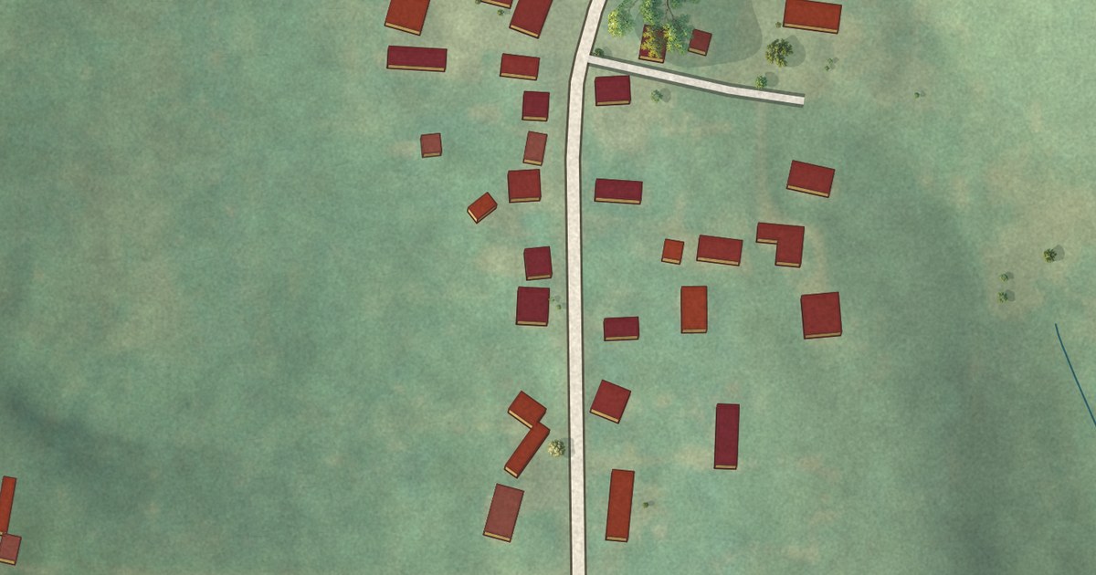
A detailed map of Frankfort Springs, Pennsylvania, showing every building in its true location, the roads by name, and shaded topographical relief.
Read More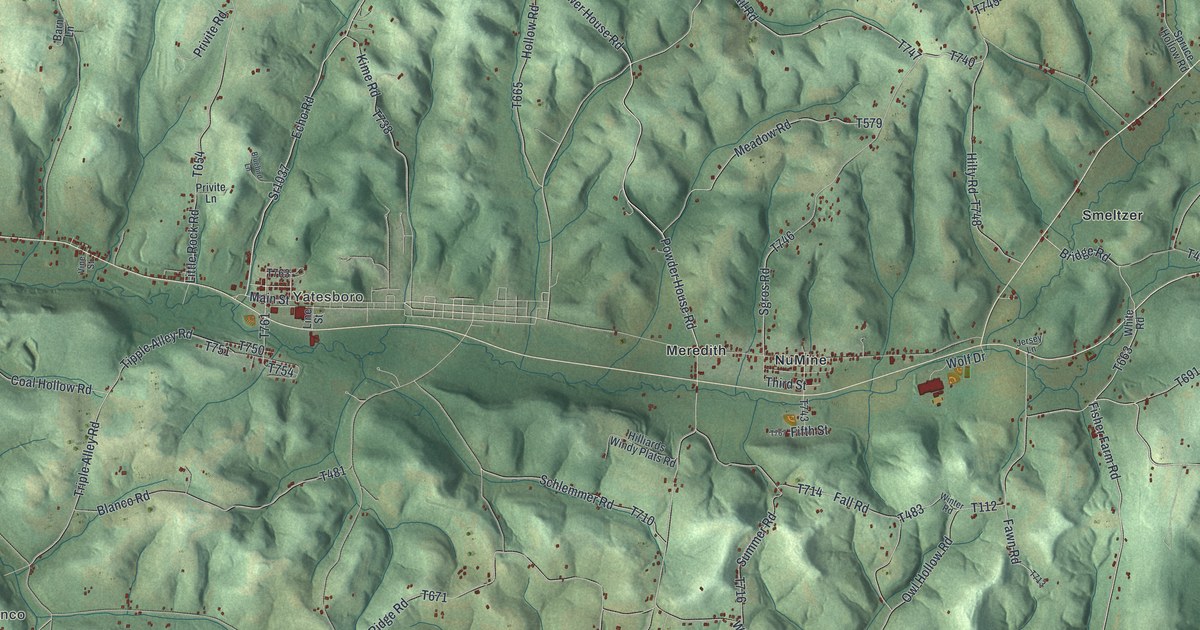
A detailed map of Cowanshannock, Pennsylvania, showing every building in its true location, the roads by name, and shaded topographical relief.
Read More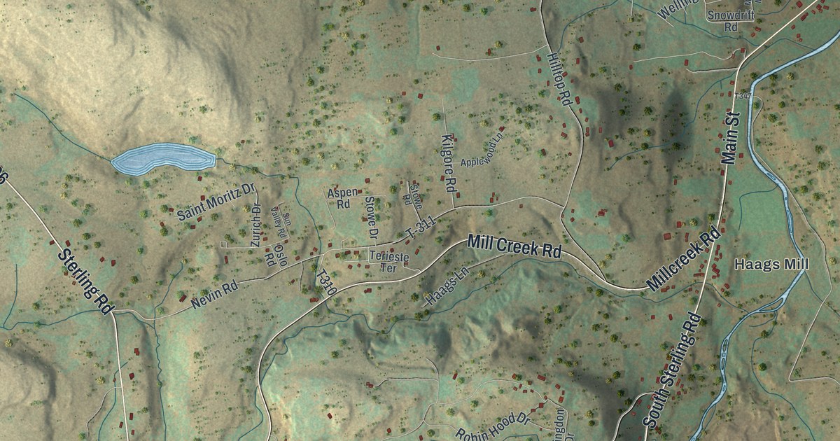
A detailed map of Dreher, Pennsylvania, showing every building in its true location, the roads by name, and shaded topographical relief.
Read More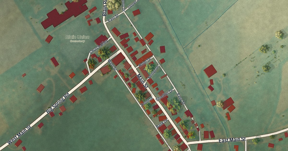
A detailed map of Blain, Pennsylvania, showing every building in its true location, the roads by name, and shaded topographical relief.
Read More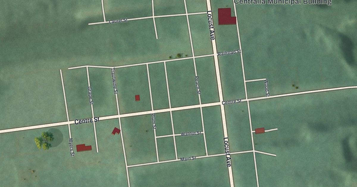
A detailed map of Centralia, Pennsylvania, showing every building in its true location, the roads by name, and shaded topographical relief.
Read More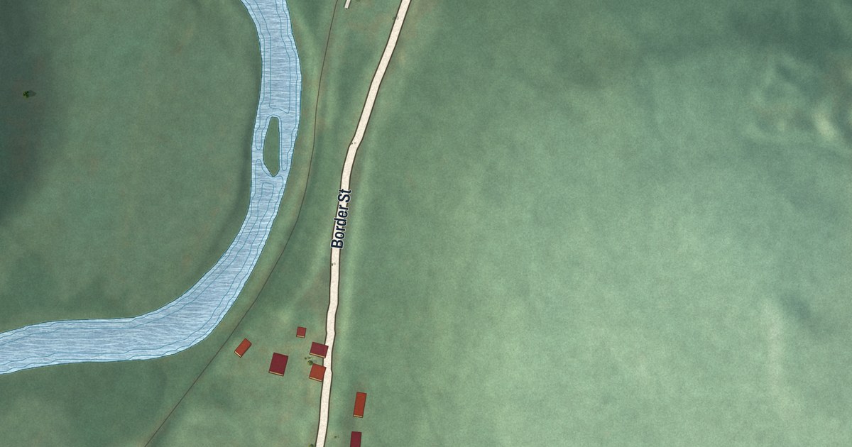
A detailed map of Benson, Pennsylvania, showing every building in its true location, the roads by name, and shaded topographical relief.
Read More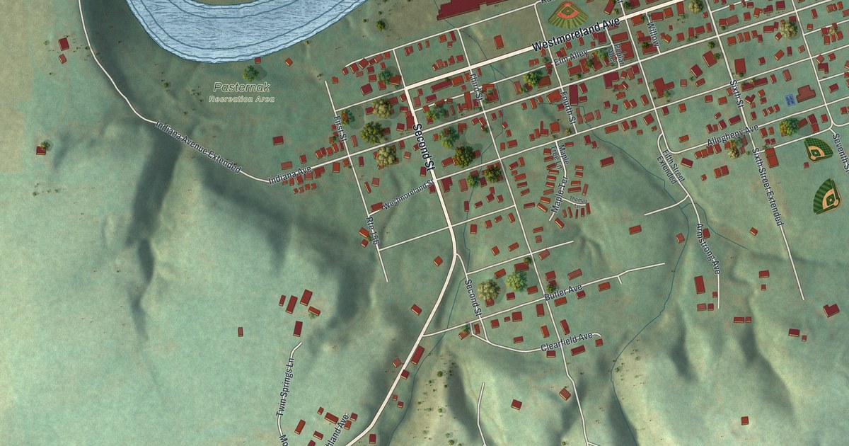
A detailed map of Avonmore, Pennsylvania, showing every building in its true location, the roads by name, and shaded topographical relief.
Read More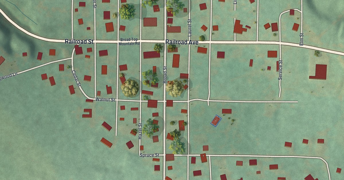
A detailed map of Broad Top City, Pennsylvania, showing every building in its true location, the roads by name, and shaded topographical relief.
Read More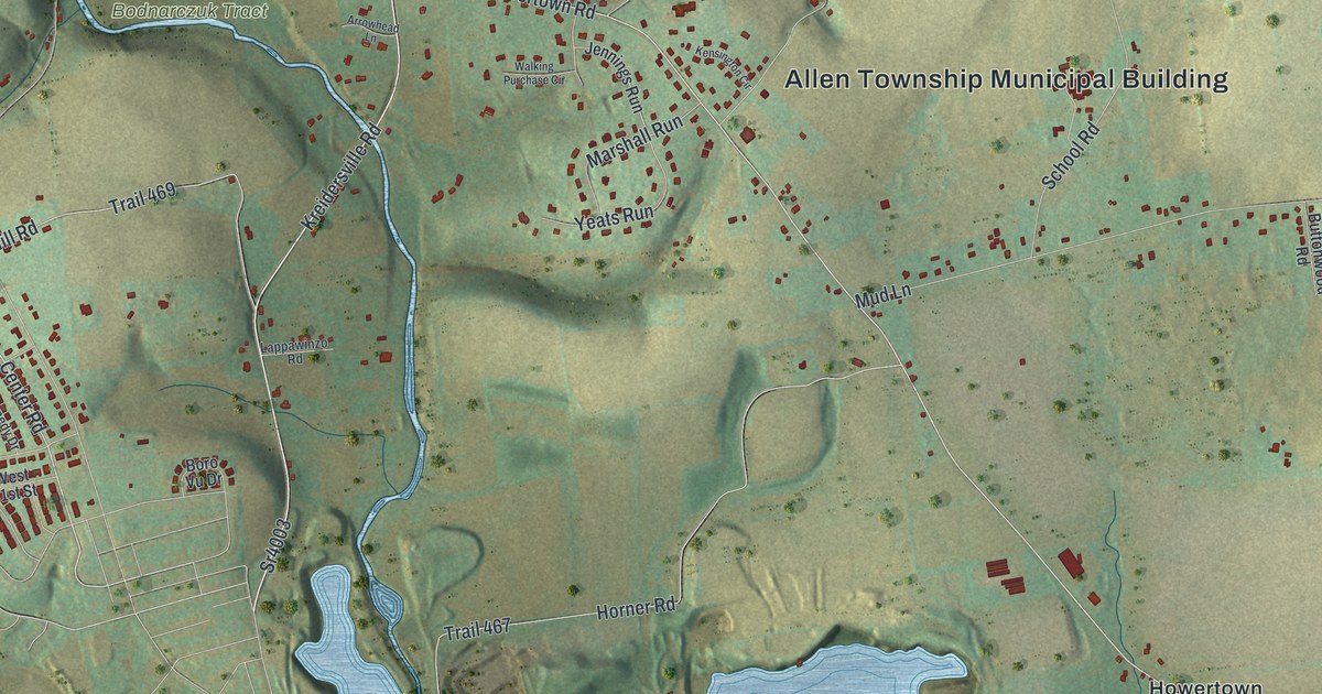
A detailed map of Allen, Pennsylvania, showing every building in its true location, the roads by name, and shaded topographical relief.
Read More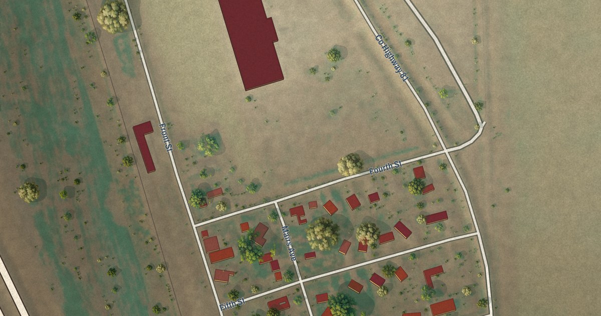
A detailed map of Gardner, North Dakota, showing every building in its true location, the roads by name, and shaded topographical relief.
Read More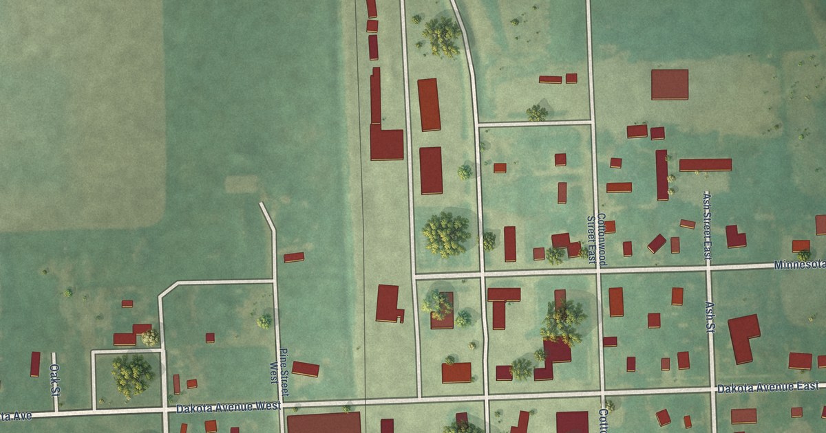
A detailed map of Galesburg, North Dakota, showing every building in its true location, the roads by name, and shaded topographical relief.
Read More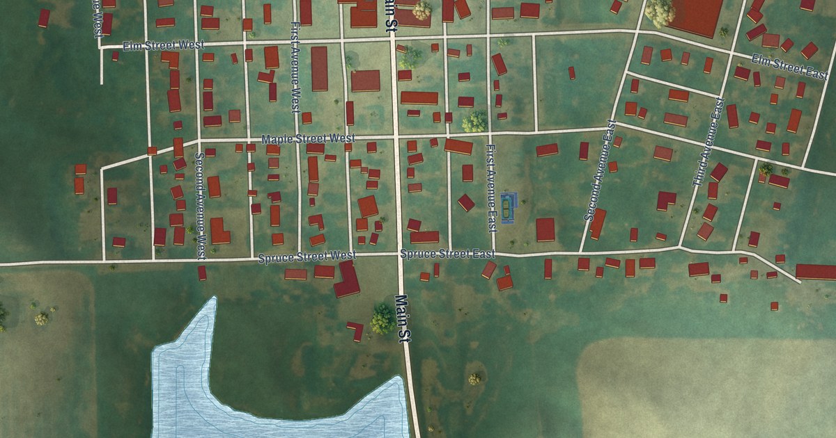
A detailed map of Gackle, North Dakota, showing every building in its true location, the roads by name, and shaded topographical relief.
Read More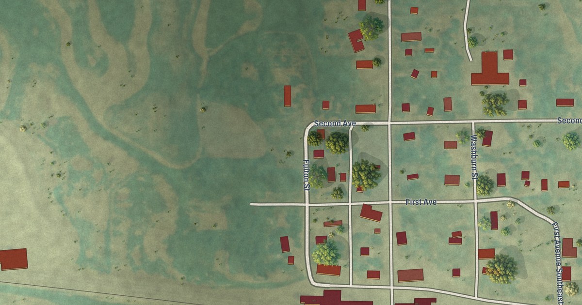
A detailed map of Fullerton, North Dakota, showing every building in its true location, the roads by name, and shaded topographical relief.
Read More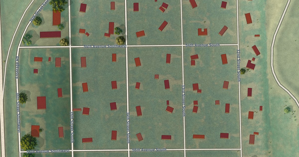
A detailed map of Frontier, North Dakota, showing every building in its true location, the roads by name, and shaded topographical relief.
Read More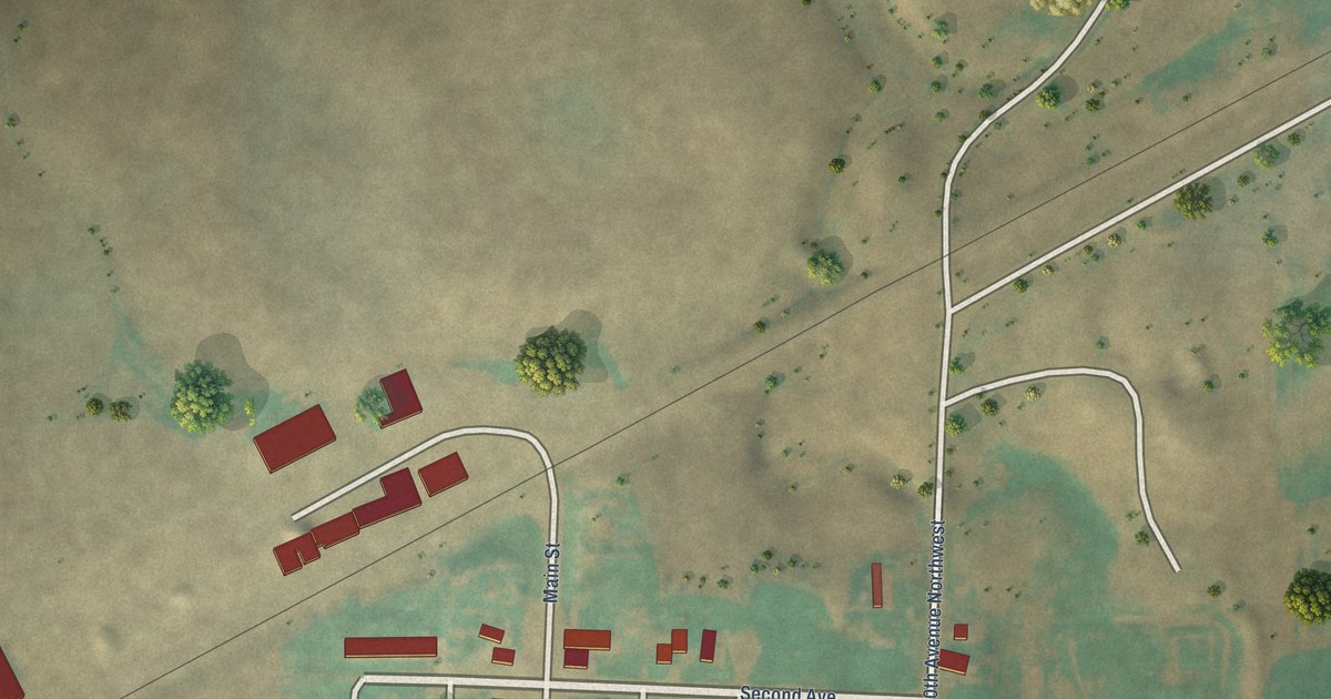
A detailed map of Fortuna, North Dakota, showing every building in its true location, the roads by name, and shaded topographical relief.
Read More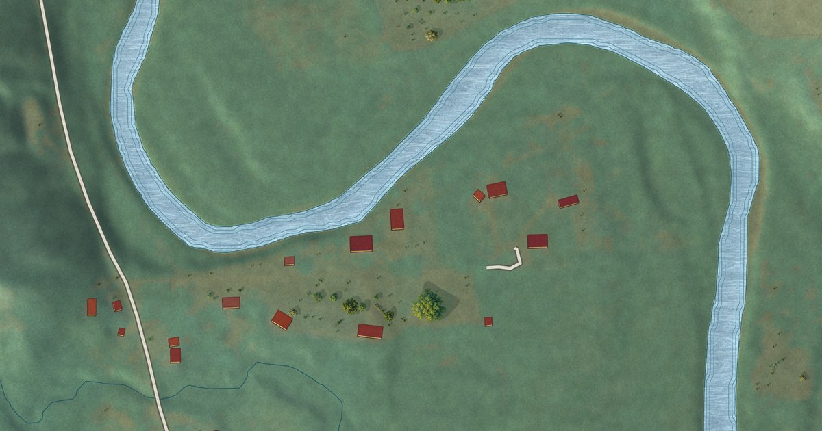
A detailed map of Fort Ransom, North Dakota, showing every building in its true location, the roads by name, and shaded topographical relief.
Read More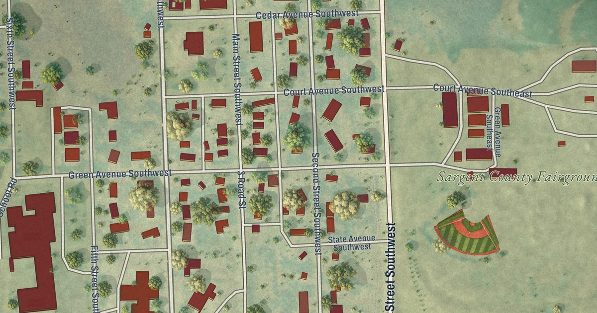
A detailed map of Forman, North Dakota, showing every building in its true location, the roads by name, and shaded topographical relief.
Read More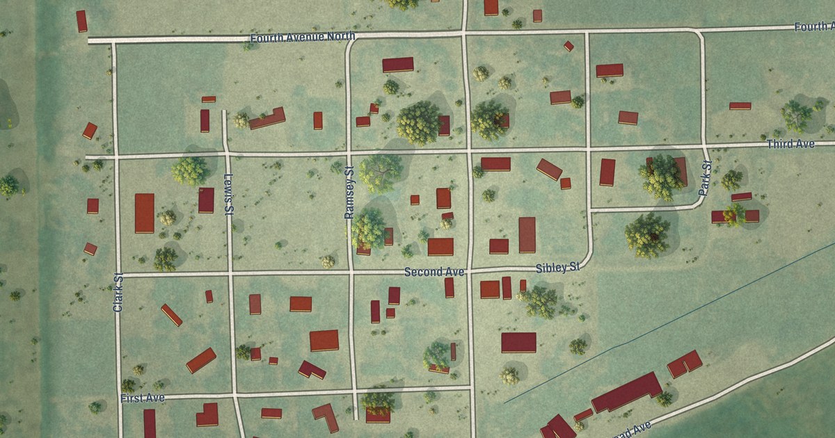
A detailed map of Forbes, North Dakota, showing every building in its true location, the roads by name, and shaded topographical relief.
Read More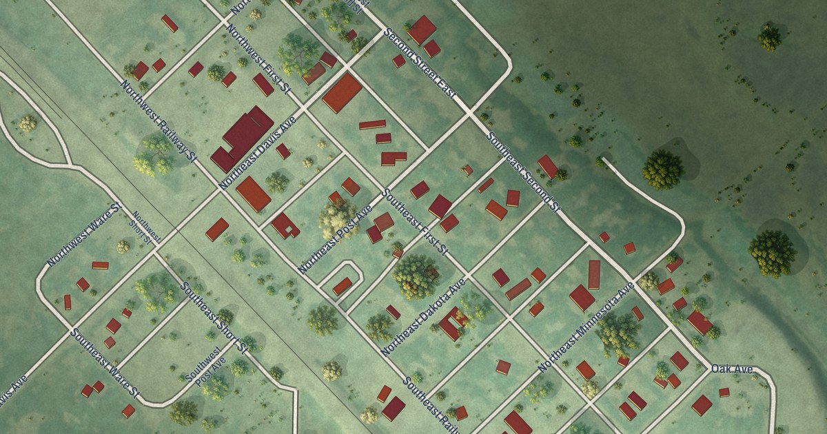
A detailed map of Flaxton, North Dakota, showing every building in its true location, the roads by name, and shaded topographical relief.
Read More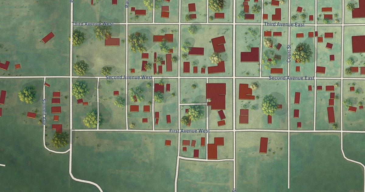
A detailed map of Flasher, North Dakota, showing every building in its true location, the roads by name, and shaded topographical relief.
Read More















