Detailed Map of Baskin, Louisiana
A detailed map of Baskin, Louisiana, showing every building in its true location, the roads by name, and shaded topographical relief.
Read More
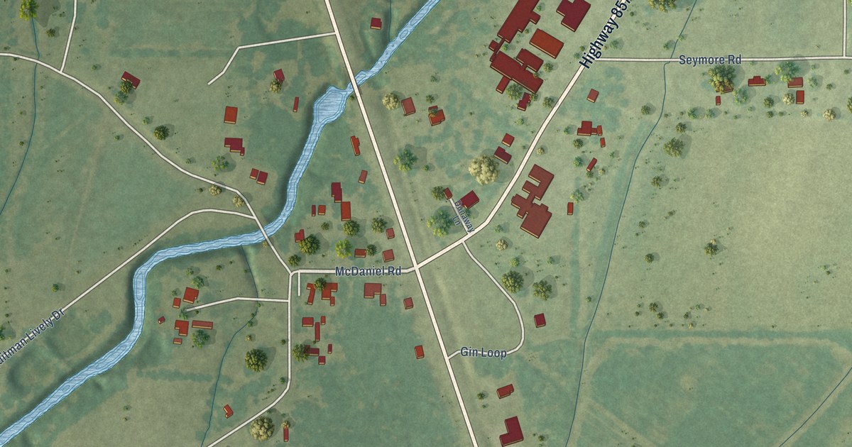
A detailed map of Baskin, Louisiana, showing every building in its true location, the roads by name, and shaded topographical relief.
Read More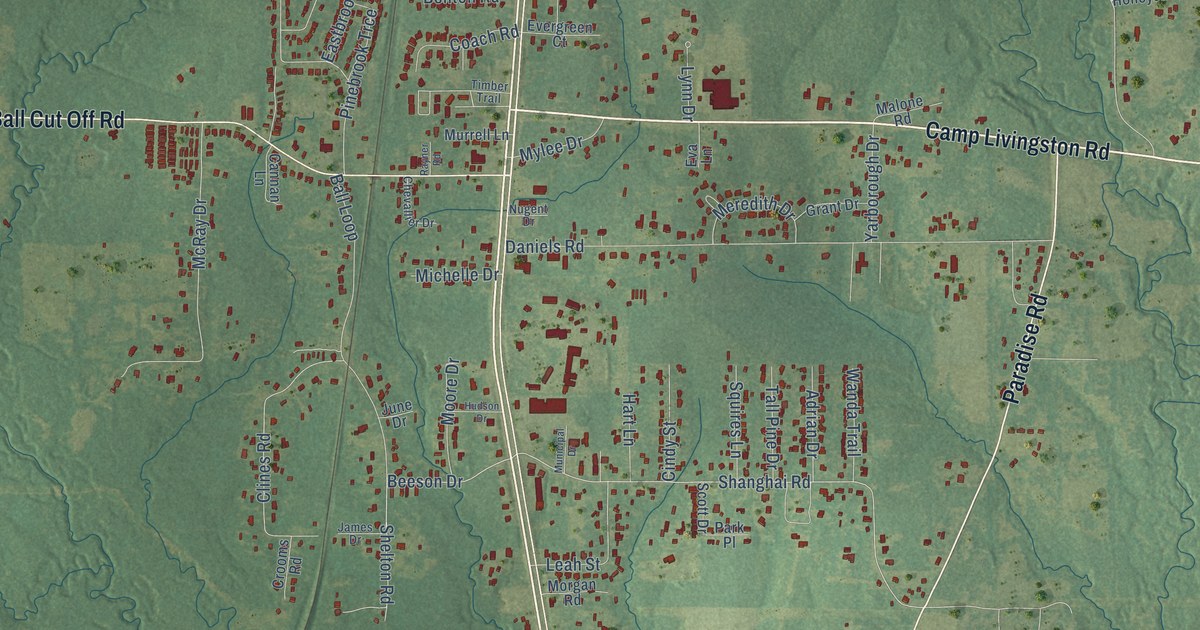
A detailed map of Ball, Louisiana, showing every building in its true location, the roads by name, and shaded topographical relief.
Read More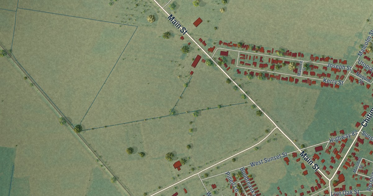
A detailed map of Baldwin, Louisiana, showing every building in its true location, the roads by name, and shaded topographical relief.
Read More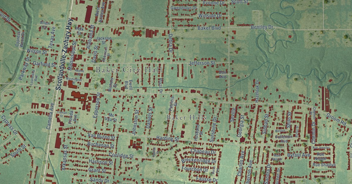
A detailed map of Baker, Louisiana, showing every building in its true location, the roads by name, and shaded topographical relief.
Read More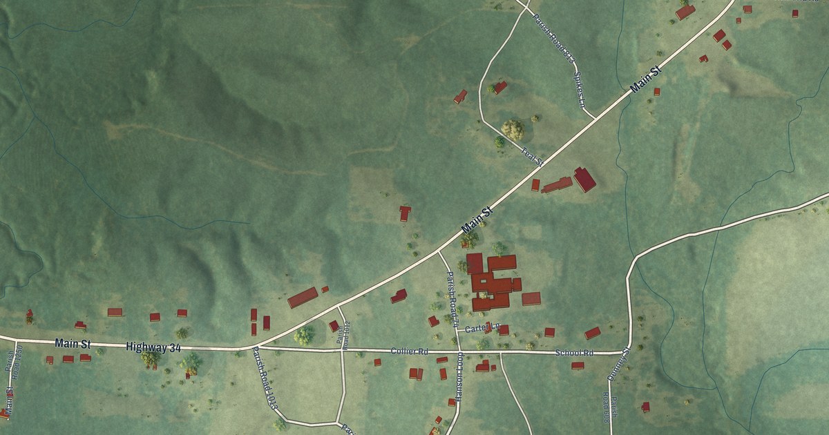
A detailed map of Atlanta, Louisiana, showing every building in its true location, the roads by name, and shaded topographical relief.
Read More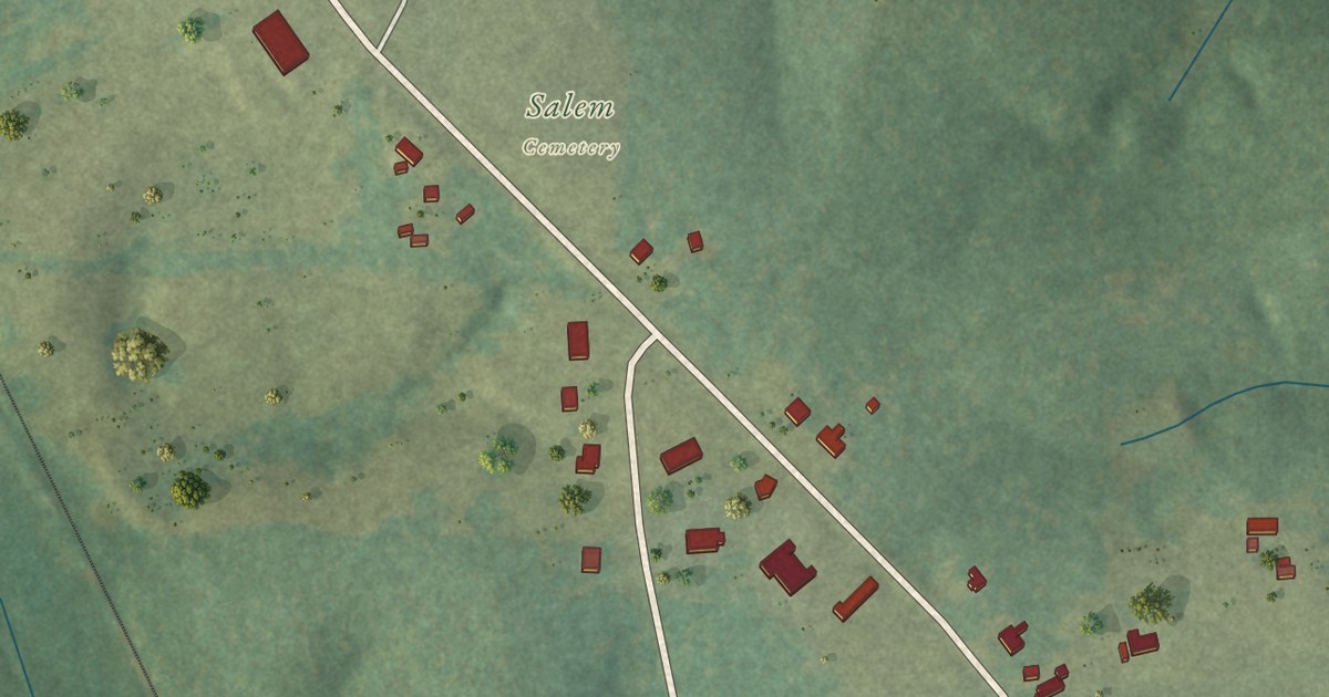
A detailed map of Athens, Louisiana, showing every building in its true location, the roads by name, and shaded topographical relief.
Read More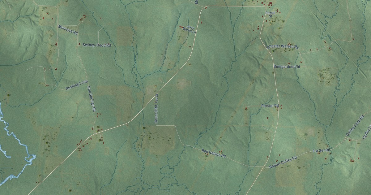
A detailed map of Ashland, Louisiana, showing every building in its true location, the roads by name, and shaded topographical relief.
Read More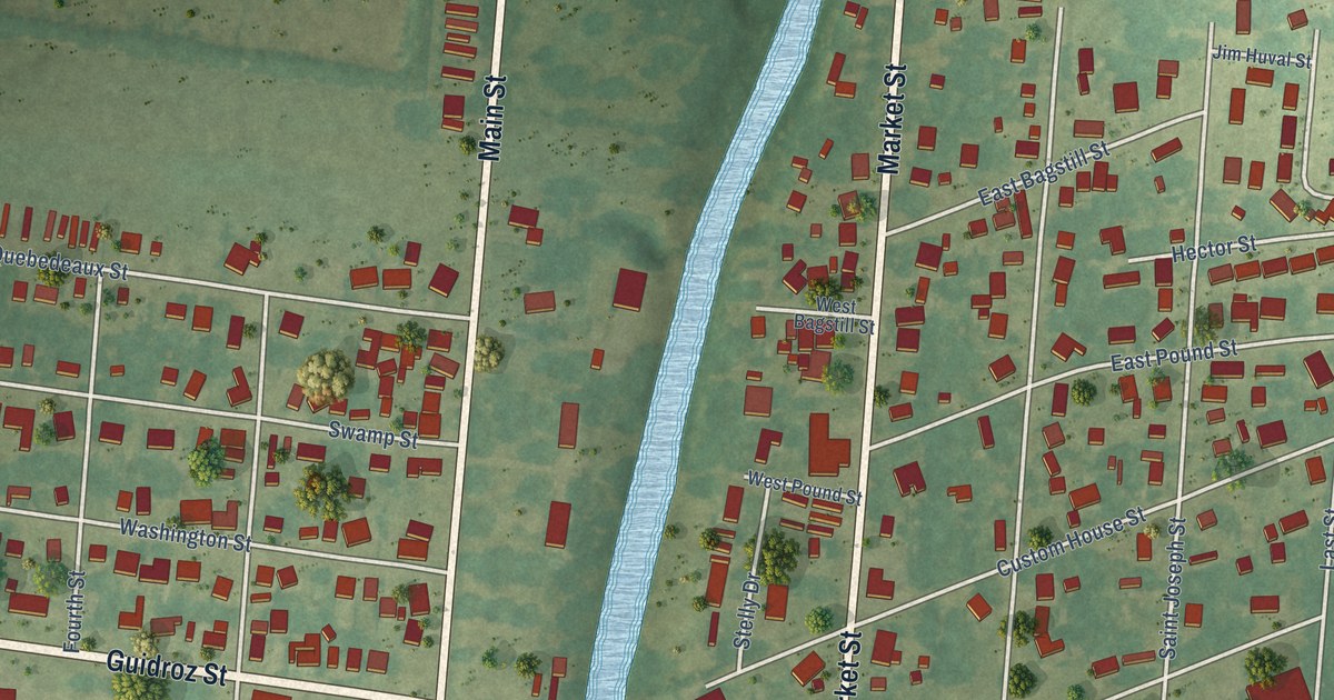
A detailed map of Arnaudville, Louisiana, showing every building in its true location, the roads by name, and shaded topographical relief.
Read More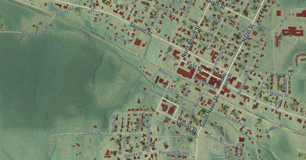
A detailed map of Arcadia, Louisiana, showing every building in its true location, the roads by name, and shaded topographical relief.
Read More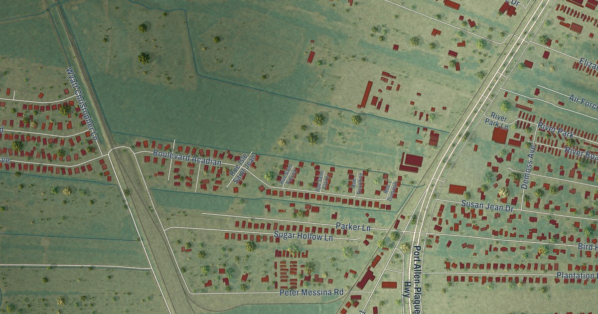
A detailed map of Addis, Louisiana, showing every building in its true location, the roads by name, and shaded topographical relief.
Read More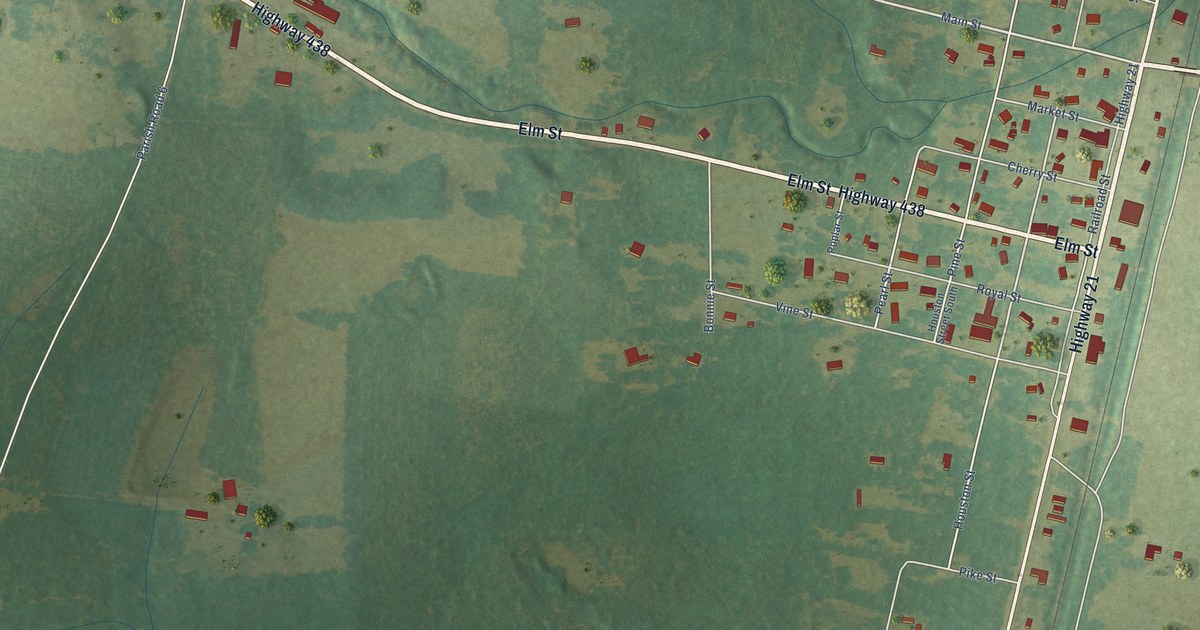
A detailed map of Angie, Louisiana, showing every building in its true location, the roads by name, and shaded topographical relief.
Read More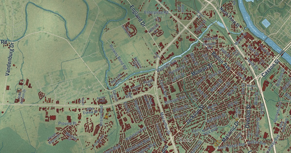
A detailed map of Alexandria, Louisiana, showing every building in its true location, the roads by name, and shaded topographical relief.
Read More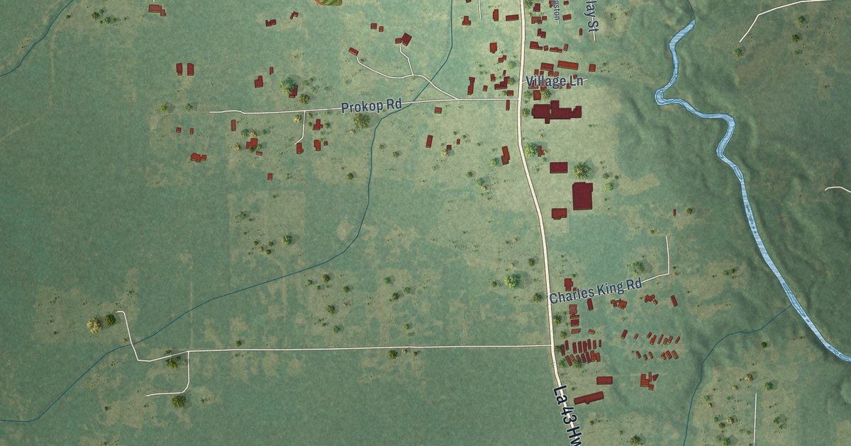
A detailed map of Albany, Louisiana, showing every building in its true location, the roads by name, and shaded topographical relief.
Read More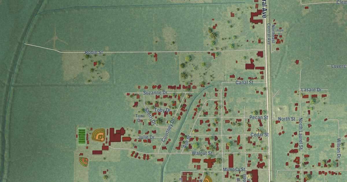
A detailed map of Amite City, Louisiana, showing every building in its true location, the roads by name, and shaded topographical relief.
Read More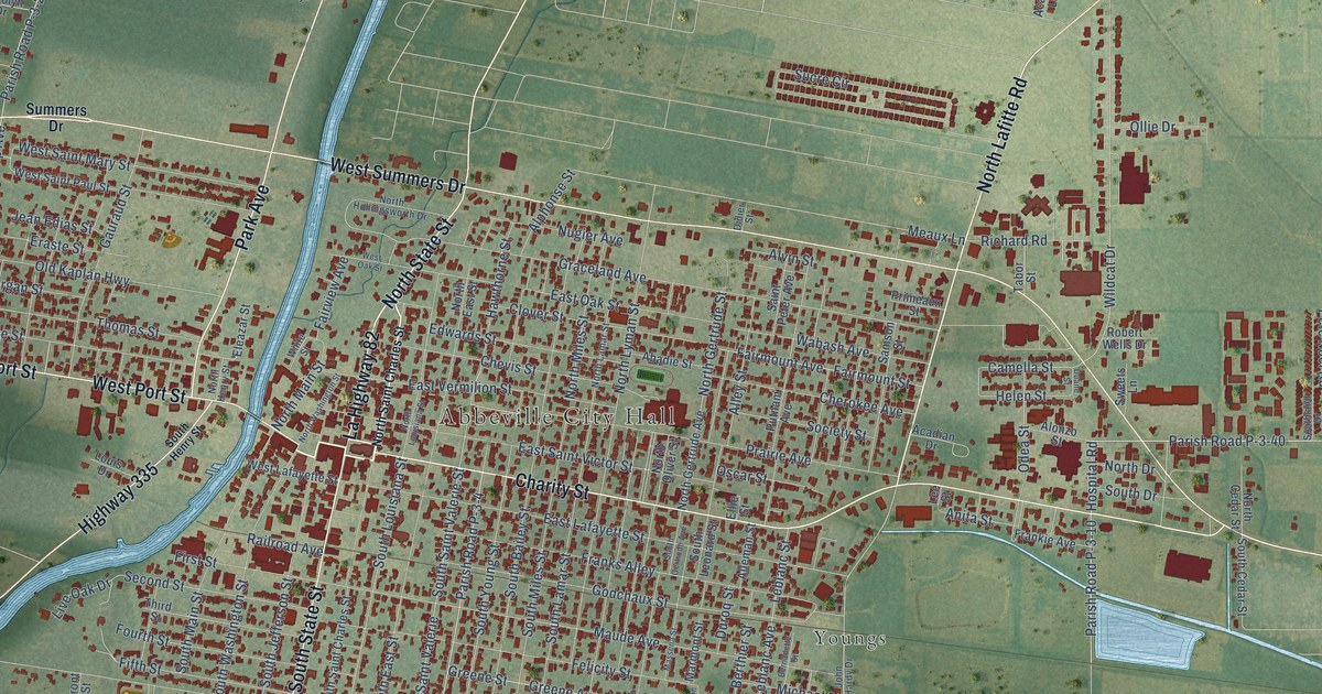
A detailed map of Abbeville, Louisiana, showing every building in its true location, the roads by name, and shaded topographical relief.
Read More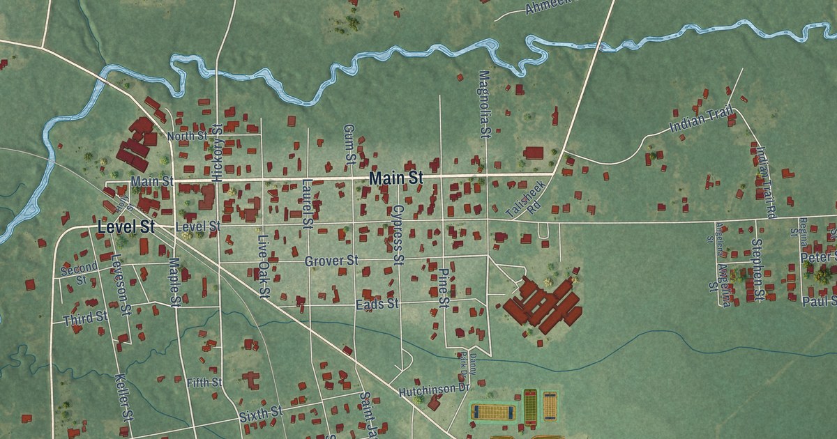
A detailed map of Abita Springs, Louisiana, showing every building in its true location, the roads by name, and shaded topographical relief.
Read More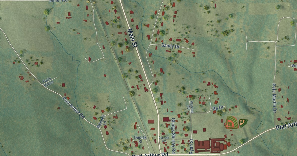
A detailed map of Anacoco, Louisiana, showing every building in its true location, the roads by name, and shaded topographical relief.
Read More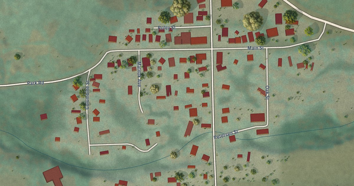
A detailed map of Rye, Colorado, showing every building in its true location, the roads by name, and shaded topographical relief.
Read More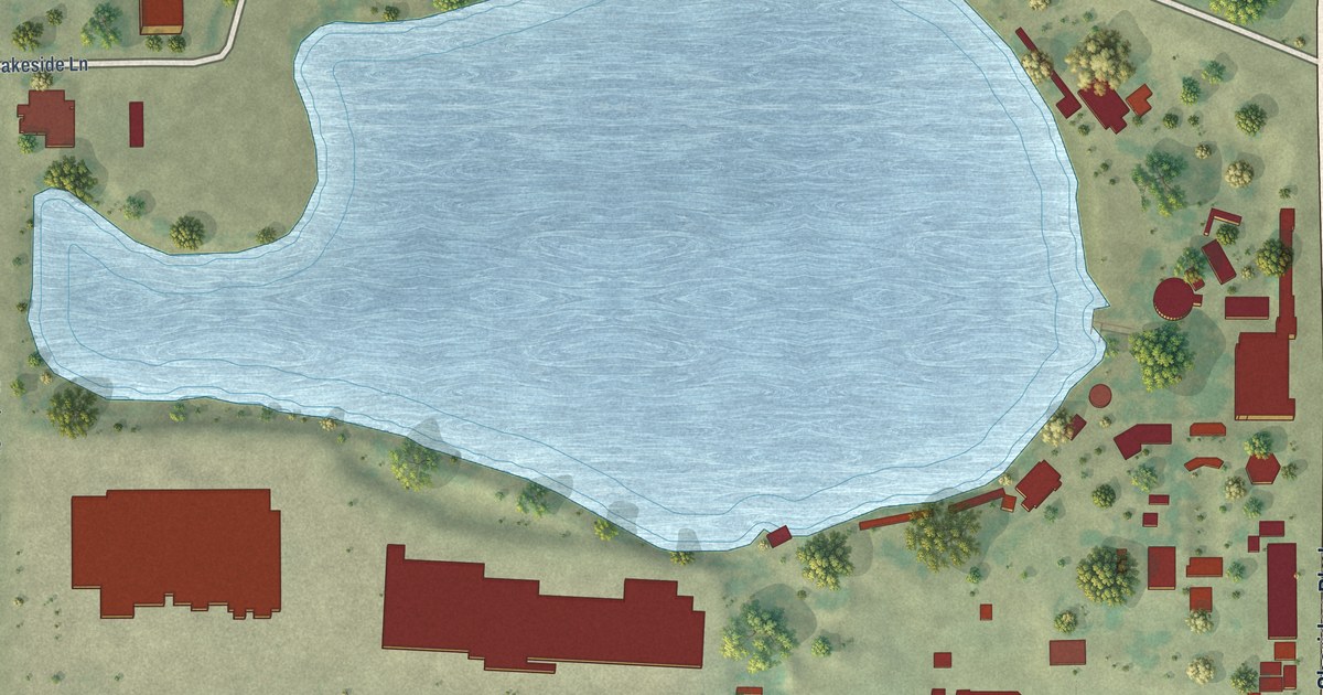
A detailed map of Lakeside, Colorado, showing every building in its true location, the roads by name, and shaded topographical relief.
Read More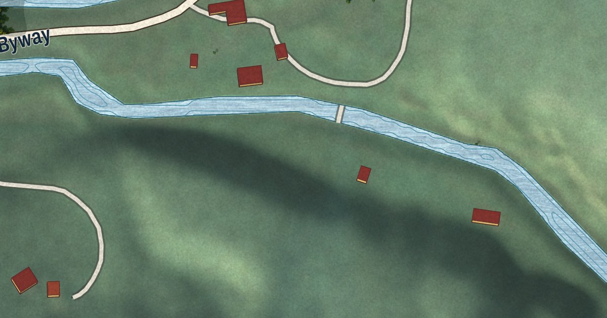
A detailed map of Warm River, Idaho, showing every building in its true location, the roads by name, and shaded topographical relief.
Read More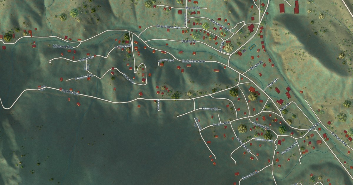
A detailed map of Green Mountain Falls, Colorado, showing every building in its true location, the roads by name, and shaded topographical relief.
Read More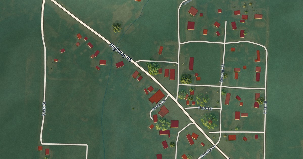
A detailed map of Tensed, Idaho, showing every building in its true location, the roads by name, and shaded topographical relief.
Read More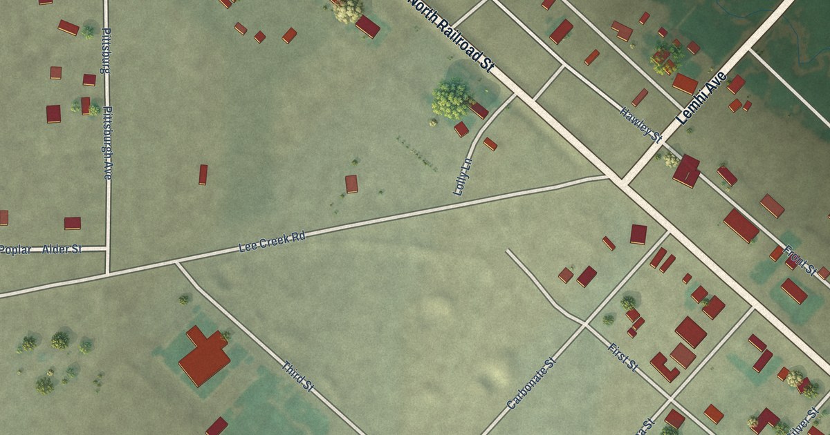
A detailed map of Leadore, Idaho, showing every building in its true location, the roads by name, and shaded topographical relief.
Read More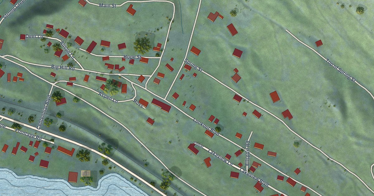
A detailed map of East Hope, Idaho, showing every building in its true location, the roads by name, and shaded topographical relief.
Read More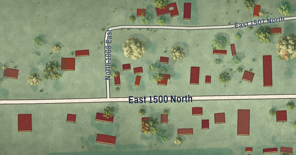
A detailed map of Mud Lake, Idaho, showing every building in its true location, the roads by name, and shaded topographical relief.
Read More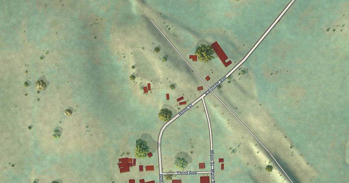
A detailed map of Drummond, Idaho, showing every building in its true location, the roads by name, and shaded topographical relief.
Read More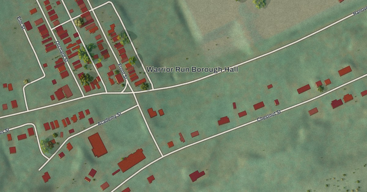
A detailed map of Warrior Run, Pennsylvania, showing every building in its true location, the roads by name, and shaded topographical relief.
Read More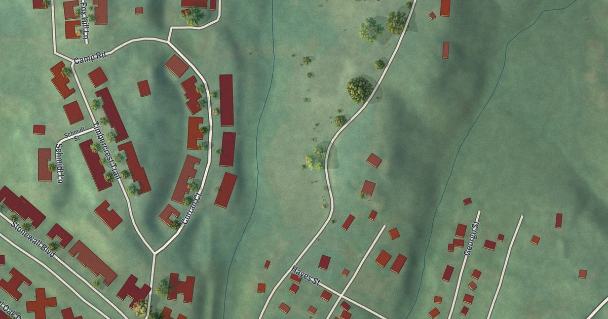
A detailed map of Valencia, Pennsylvania, showing every building in its true location, the roads by name, and shaded topographical relief.
Read More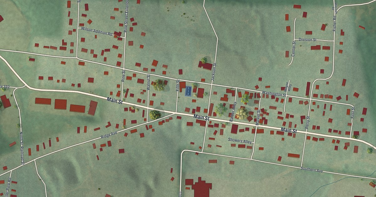
A detailed map of Strattanville, Pennsylvania, showing every building in its true location, the roads by name, and shaded topographical relief.
Read More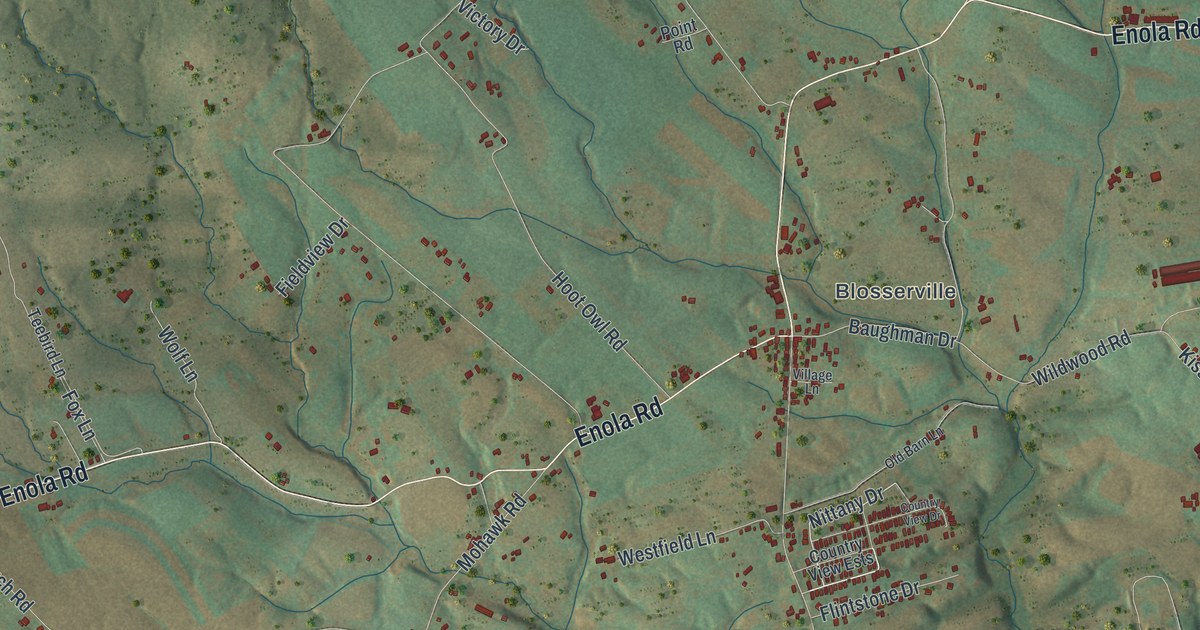
A detailed map of Upper Frankford, Pennsylvania, showing every building in its true location, the roads by name, and shaded topographical relief.
Read More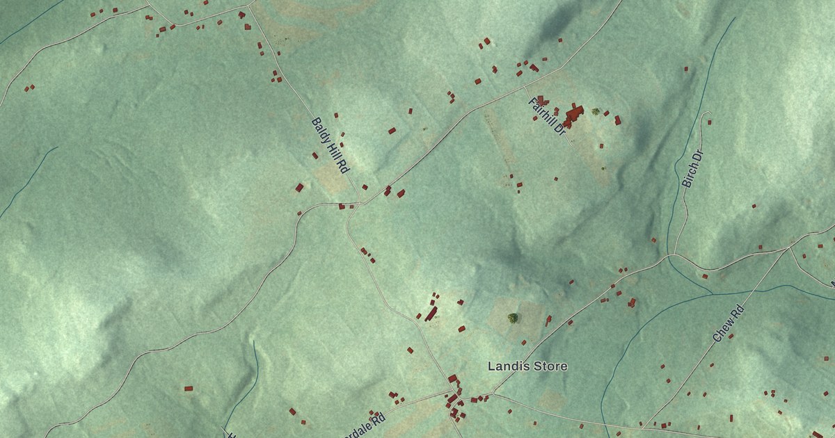
A detailed map of District, Pennsylvania, showing every building in its true location, the roads by name, and shaded topographical relief.
Read More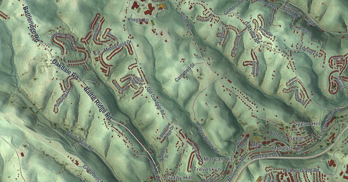
A detailed map of South Fayette, Pennsylvania, showing every building in its true location, the roads by name, and shaded topographical relief.
Read More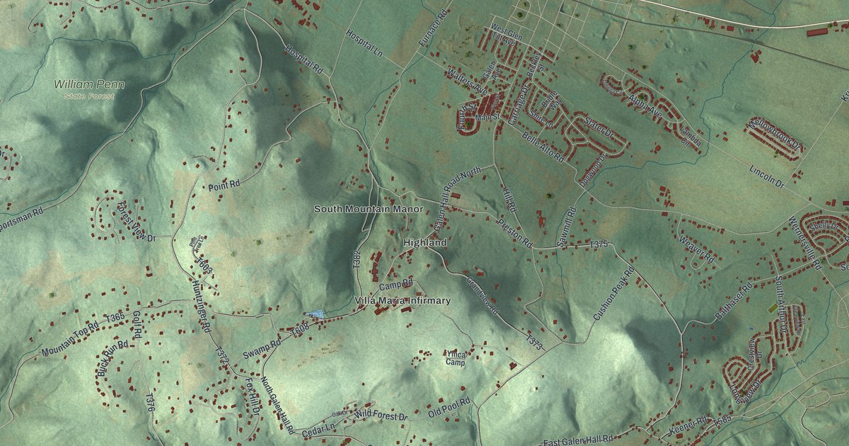
A detailed map of South Heidelberg, Pennsylvania, showing every building in its true location, the roads by name, and shaded topographical relief.
Read More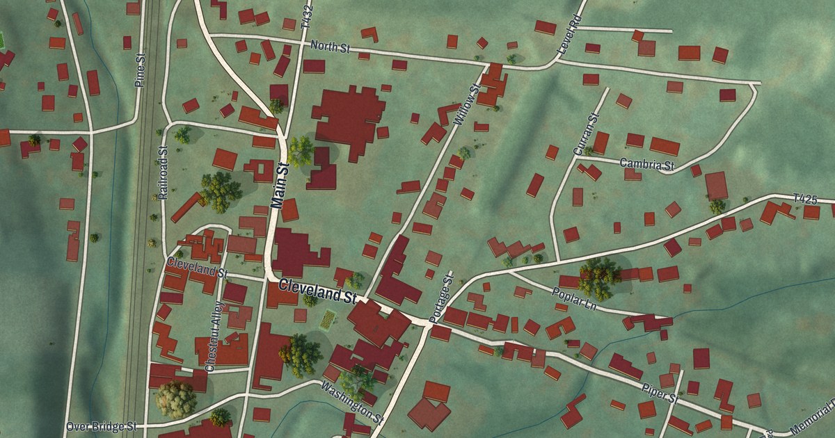
A detailed map of Lilly, Pennsylvania, showing every building in its true location, the roads by name, and shaded topographical relief.
Read More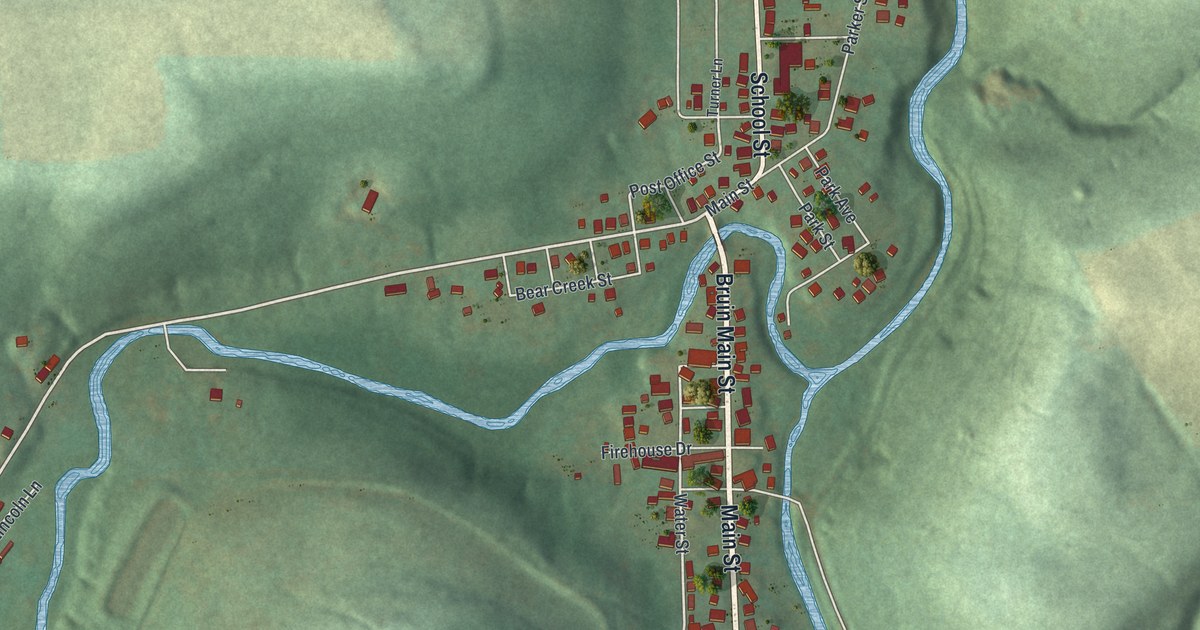
A detailed map of Bruin, Pennsylvania, showing every building in its true location, the roads by name, and shaded topographical relief.
Read More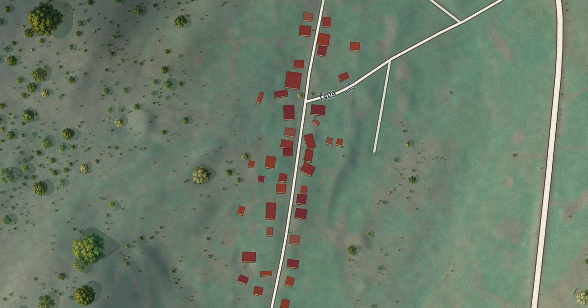
A detailed map of Shade Gap, Pennsylvania, showing every building in its true location, the roads by name, and shaded topographical relief.
Read More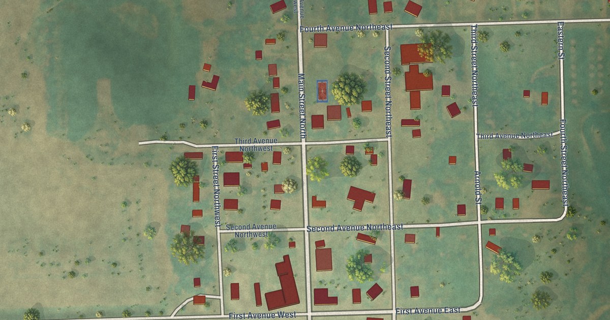
A detailed map of Woodworth, North Dakota, showing every building in its true location, the roads by name, and shaded topographical relief.
Read More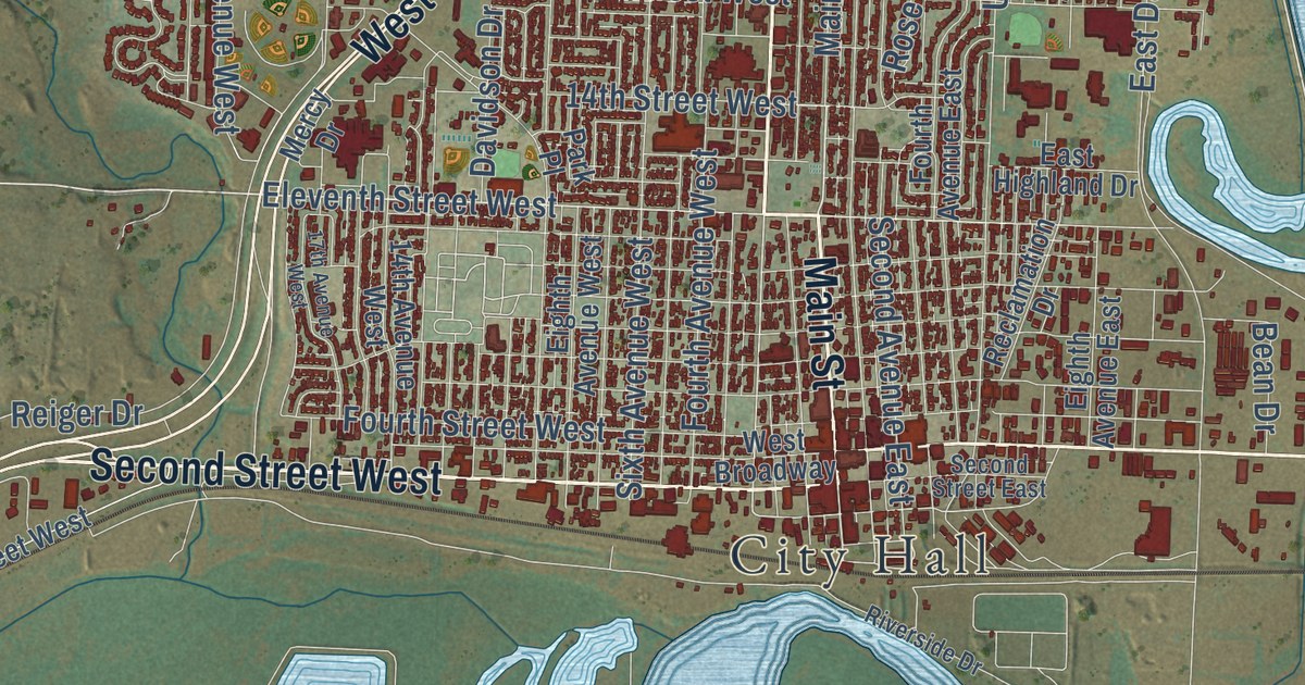
A detailed map of Williston, North Dakota, showing every building in its true location, the roads by name, and shaded topographical relief.
Read More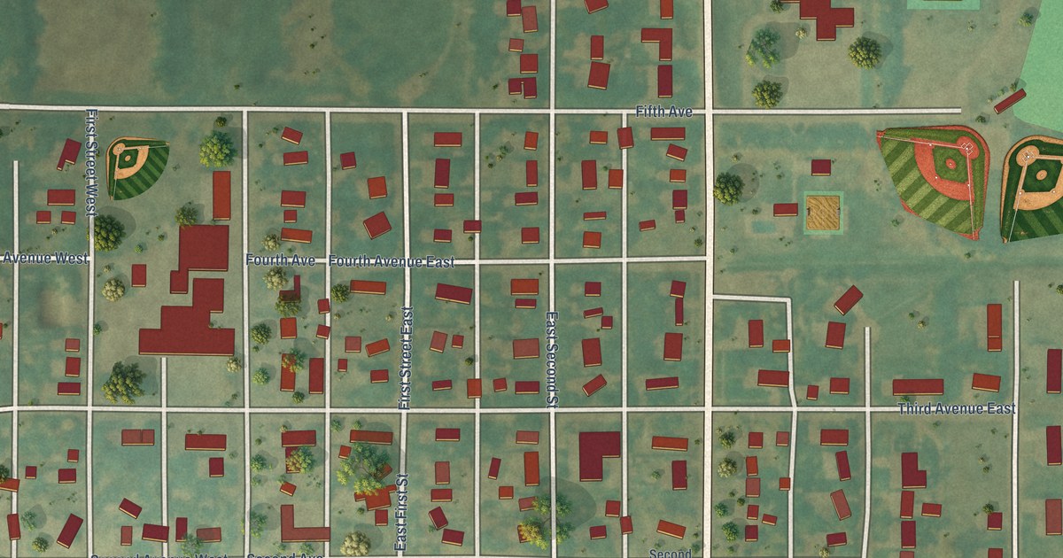
A detailed map of Westhope, North Dakota, showing every building in its true location, the roads by name, and shaded topographical relief.
Read More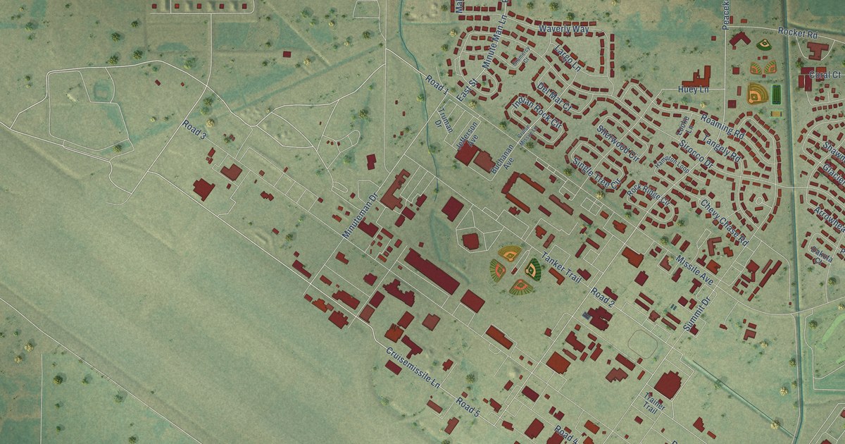
A detailed map of Minot AFB, North Dakota, showing every building in its true location, the roads by name, and shaded topographical relief.
Read More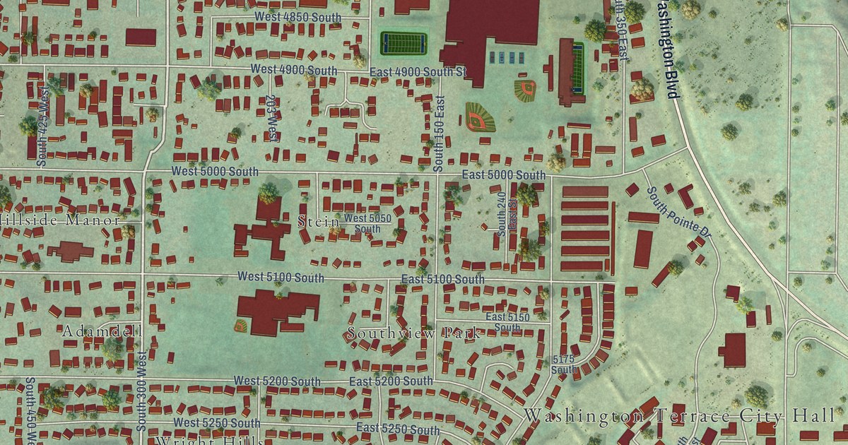
A detailed map of Washington Terrace, Utah, showing every building in its true location, the roads by name, and shaded topographical relief.
Read More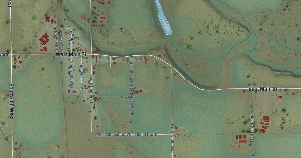
A detailed map of Trenton, Utah, showing every building in its true location, the roads by name, and shaded topographical relief.
Read More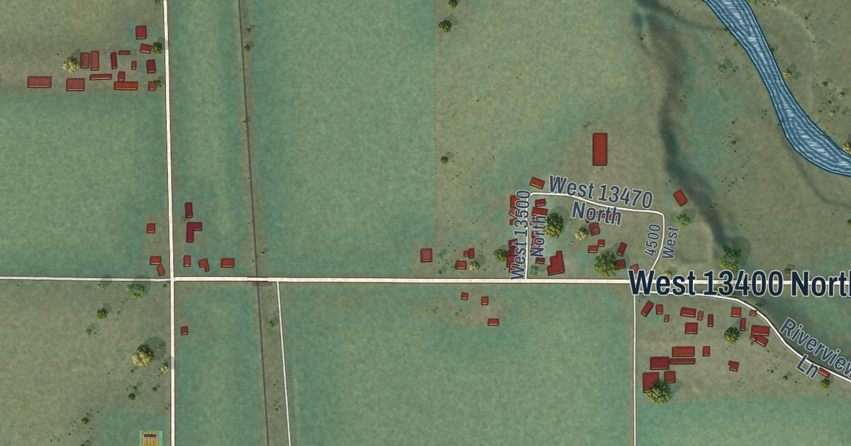
A detailed map of Cornish, Utah, showing every building in its true location, the roads by name, and shaded topographical relief.
Read More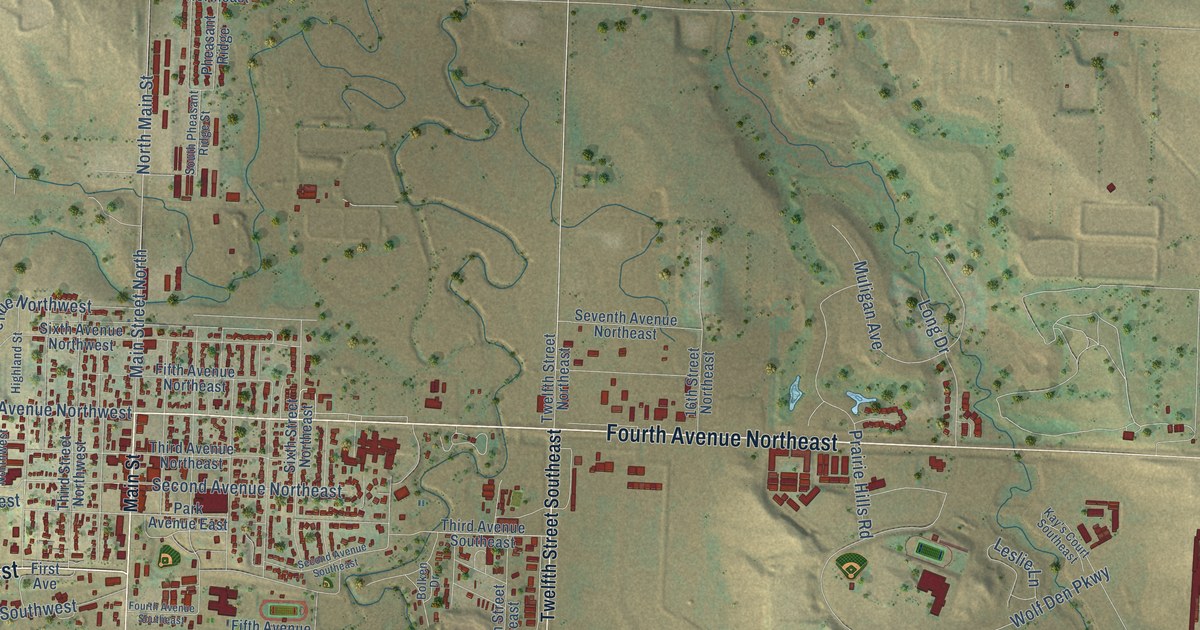
A detailed map of Watford City, North Dakota, showing every building in its true location, the roads by name, and shaded topographical relief.
Read More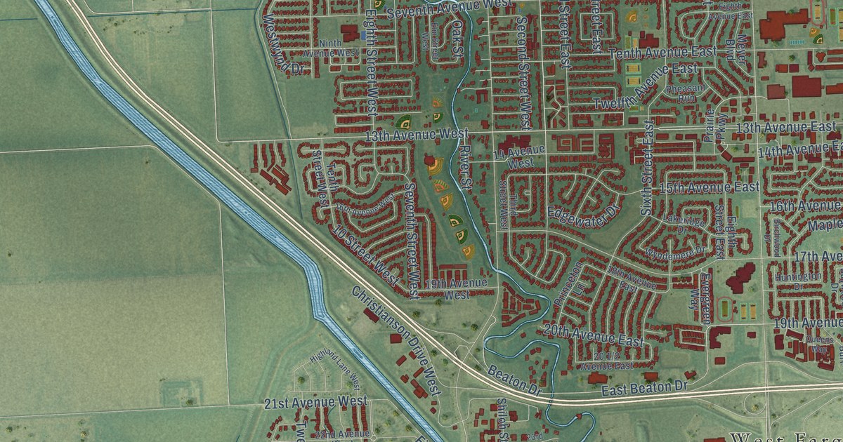
A detailed map of West Fargo, North Dakota, showing every building in its true location, the roads by name, and shaded topographical relief.
Read More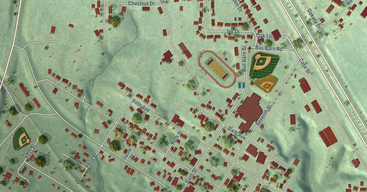
A detailed map of Washburn, North Dakota, showing every building in its true location, the roads by name, and shaded topographical relief.
Read More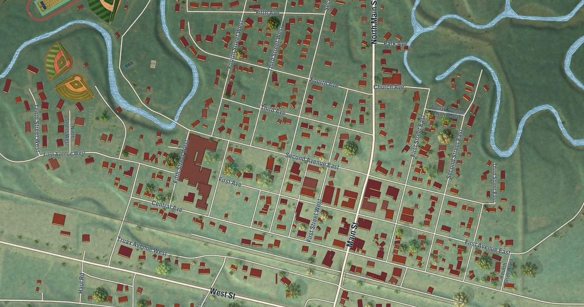
A detailed map of Velva, North Dakota, showing every building in its true location, the roads by name, and shaded topographical relief.
Read More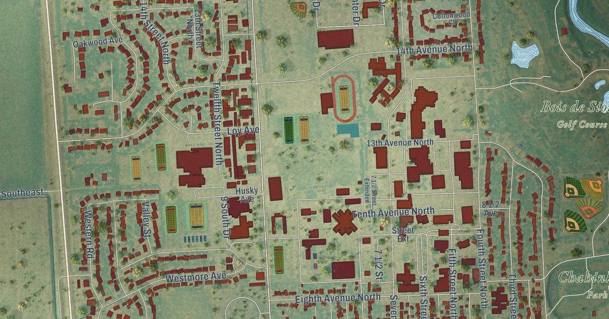
A detailed map of Wahpeton, North Dakota, showing every building in its true location, the roads by name, and shaded topographical relief.
Read More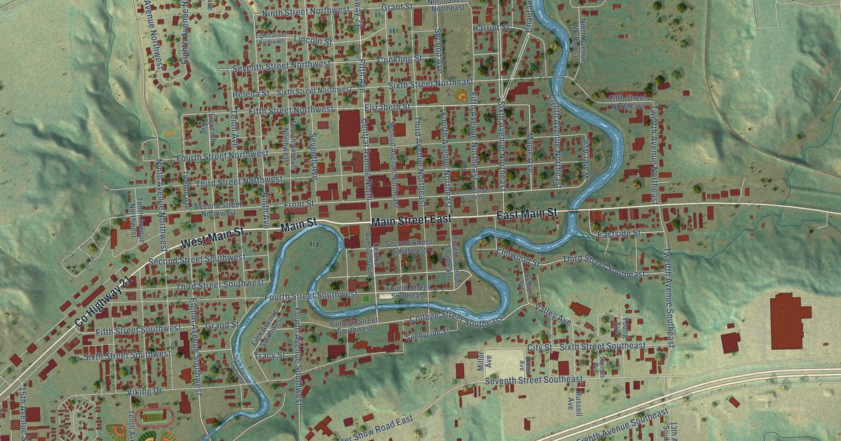
A detailed map of Valley City, North Dakota, showing every building in its true location, the roads by name, and shaded topographical relief.
Read More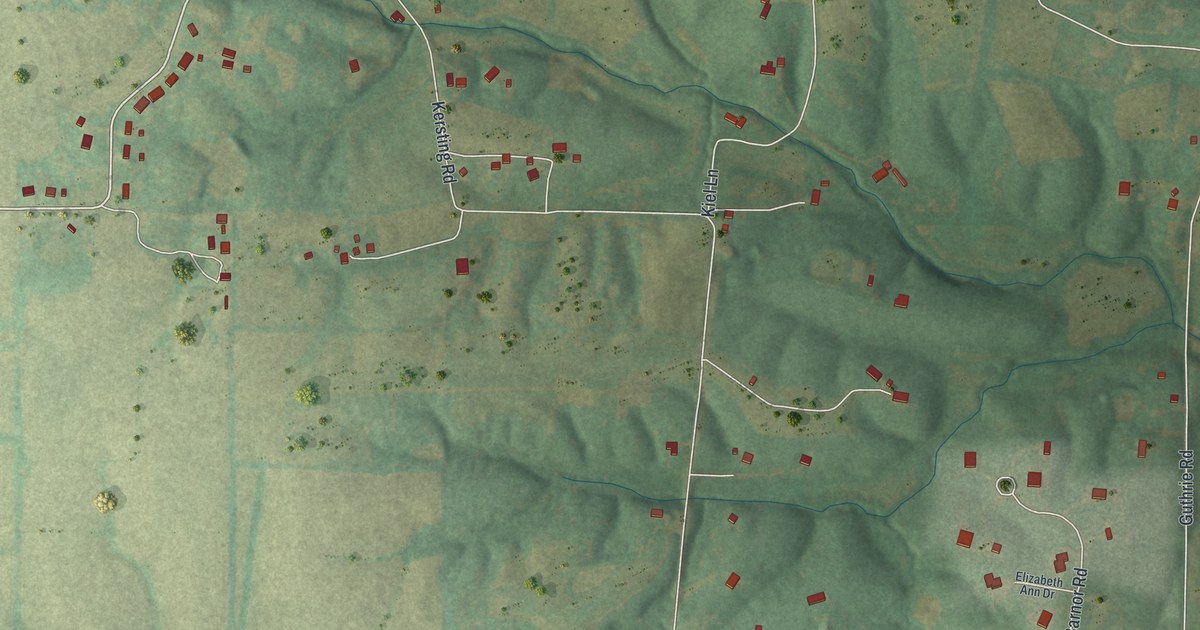
A detailed map of Josephville, Missouri, showing every building in its true location, the roads by name, and shaded topographical relief.
Read More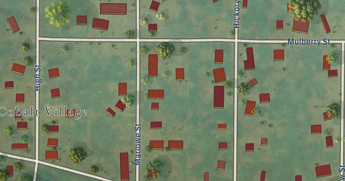
A detailed map of Cobalt, Missouri, showing every building in its true location, the roads by name, and shaded topographical relief.
Read More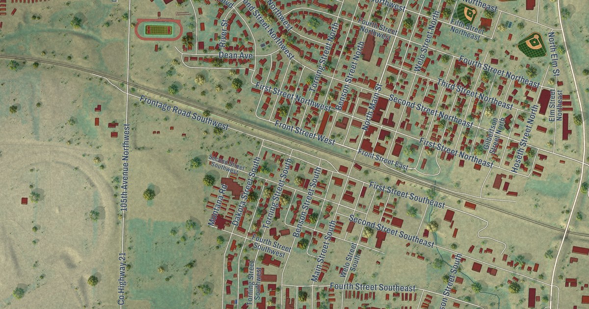
A detailed map of Tioga, North Dakota, showing every building in its true location, the roads by name, and shaded topographical relief.
Read More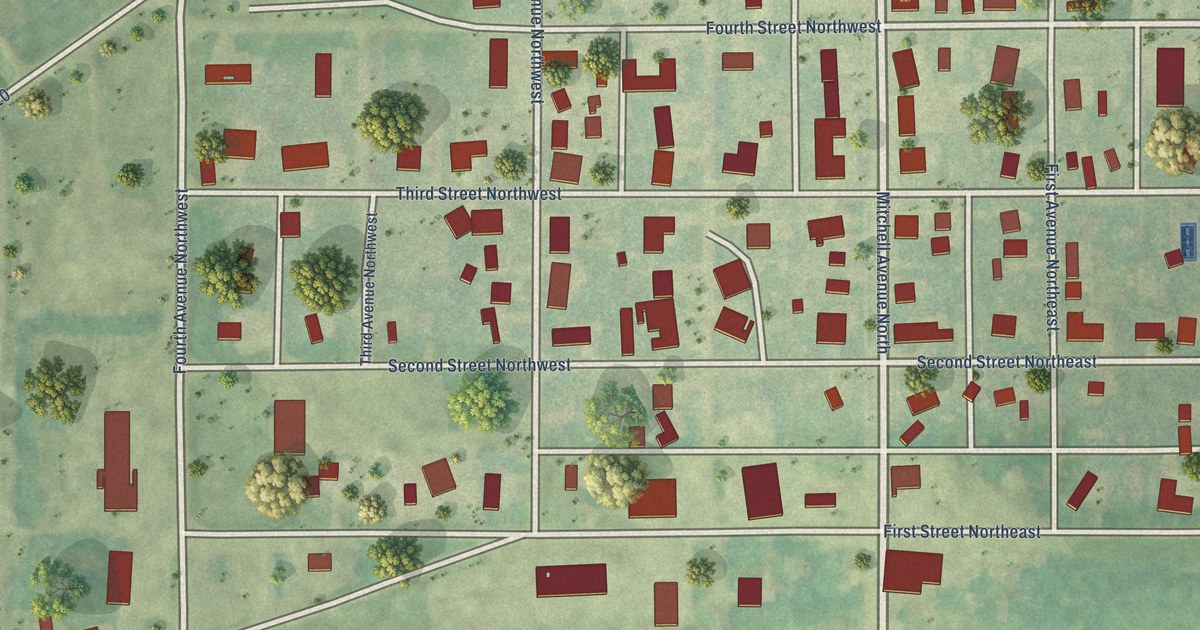
A detailed map of Steele, North Dakota, showing every building in its true location, the roads by name, and shaded topographical relief.
Read More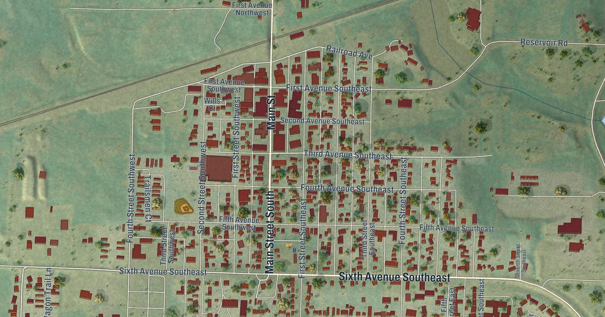
A detailed map of Stanley, North Dakota, showing every building in its true location, the roads by name, and shaded topographical relief.
Read More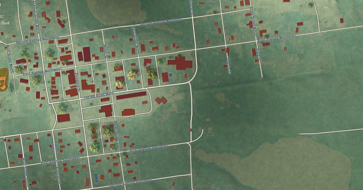
A detailed map of Streeter, North Dakota, showing every building in its true location, the roads by name, and shaded topographical relief.
Read More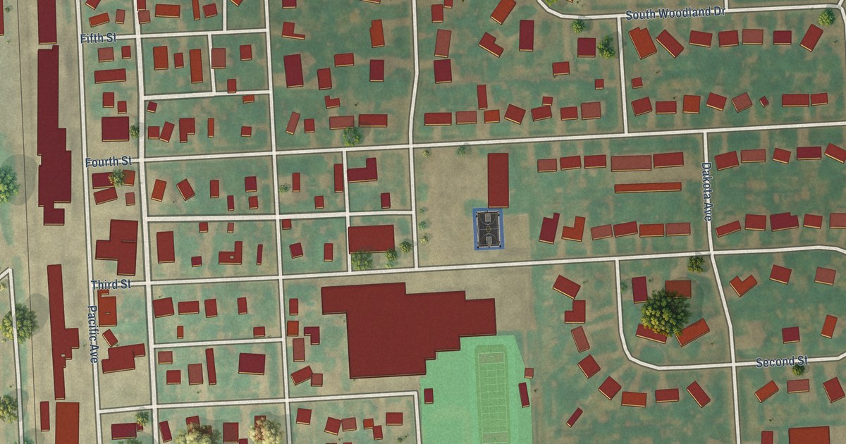
A detailed map of Thompson, North Dakota, showing every building in its true location, the roads by name, and shaded topographical relief.
Read More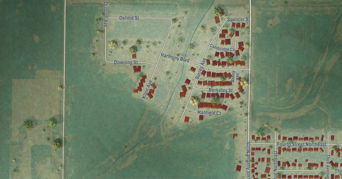
A detailed map of Surrey, North Dakota, showing every building in its true location, the roads by name, and shaded topographical relief.
Read More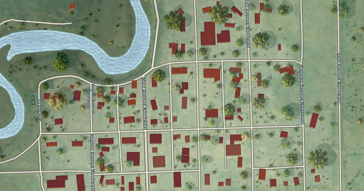
A detailed map of Sykeston, North Dakota, showing every building in its true location, the roads by name, and shaded topographical relief.
Read More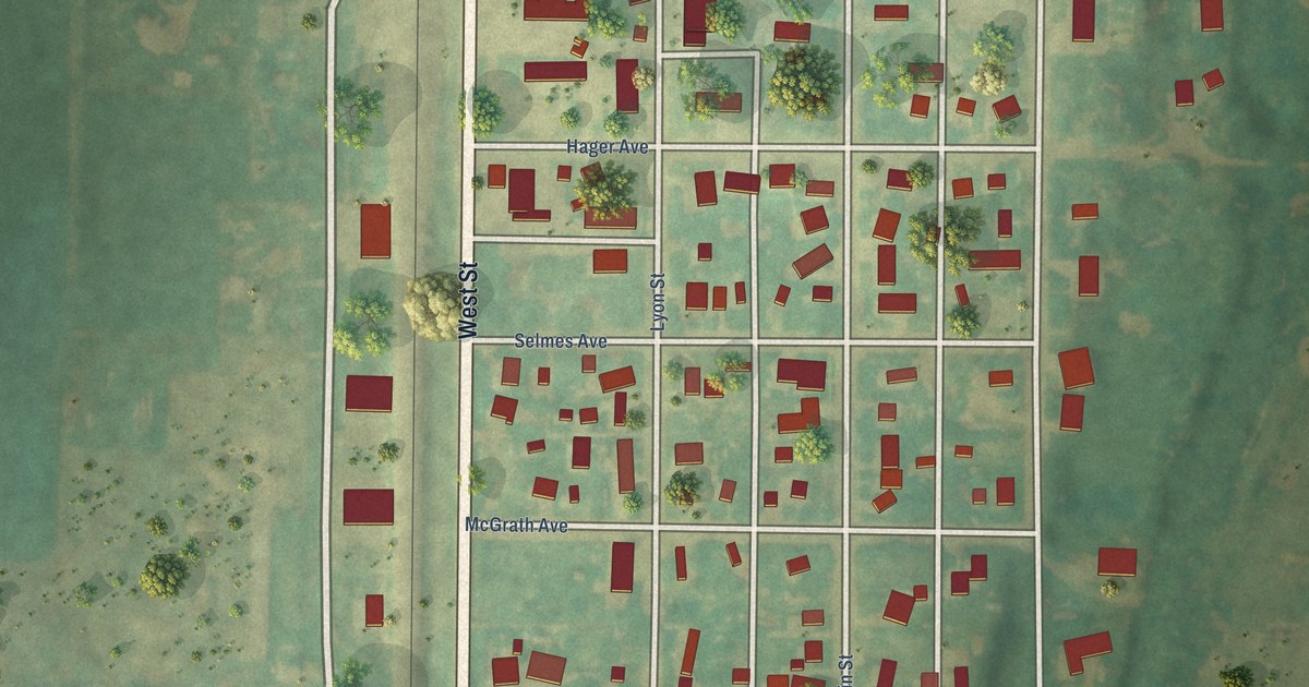
A detailed map of Stanton, North Dakota, showing every building in its true location, the roads by name, and shaded topographical relief.
Read More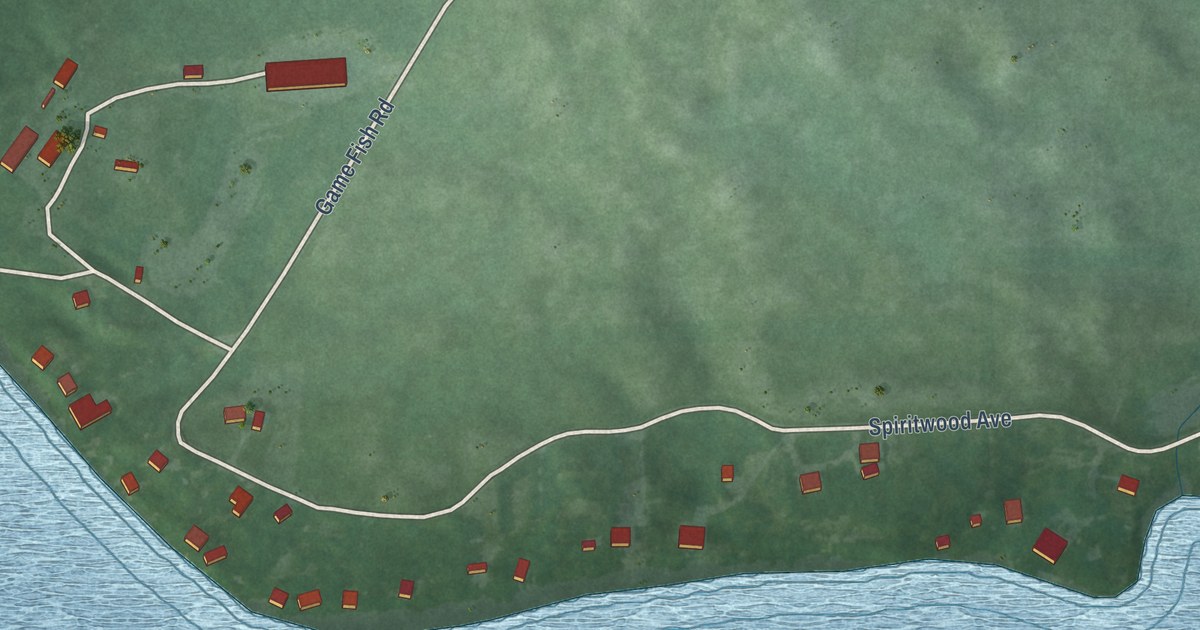
A detailed map of Spiritwood Lake, North Dakota, showing every building in its true location, the roads by name, and shaded topographical relief.
Read More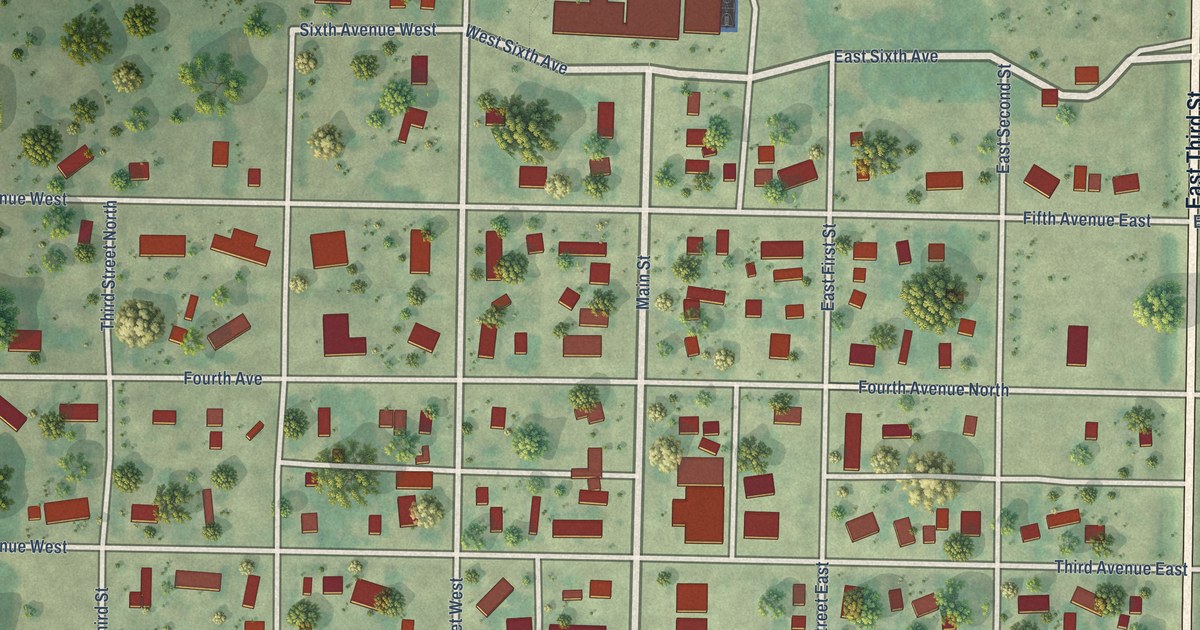
A detailed map of Sherwood, North Dakota, showing every building in its true location, the roads by name, and shaded topographical relief.
Read More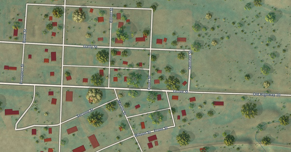
A detailed map of Sentinel Butte, North Dakota, showing every building in its true location, the roads by name, and shaded topographical relief.
Read More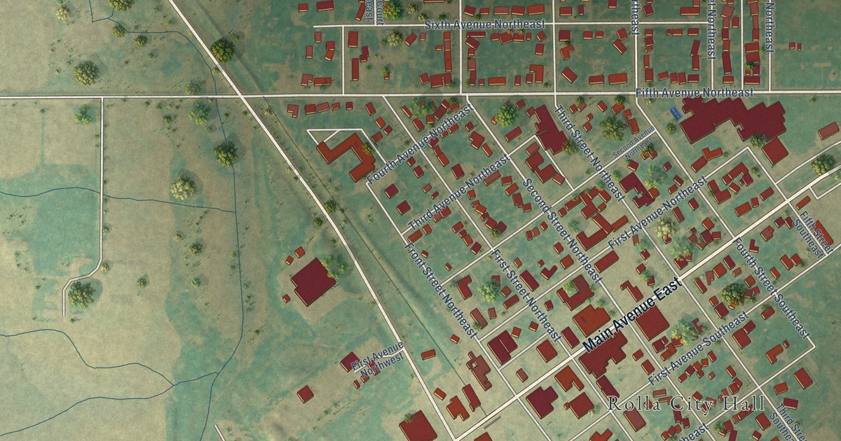
A detailed map of Rolla, North Dakota, showing every building in its true location, the roads by name, and shaded topographical relief.
Read More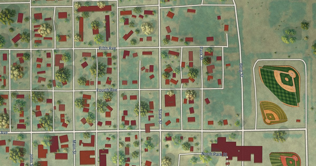
A detailed map of Rolette, North Dakota, showing every building in its true location, the roads by name, and shaded topographical relief.
Read More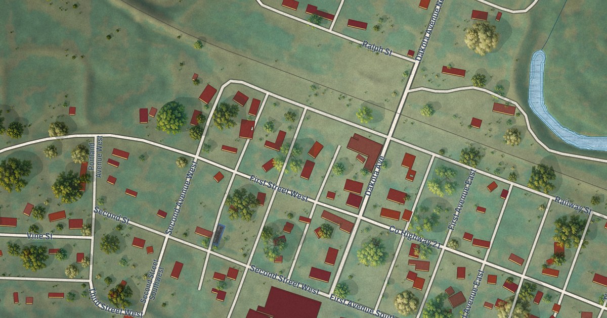
A detailed map of Sawyer, North Dakota, showing every building in its true location, the roads by name, and shaded topographical relief.
Read More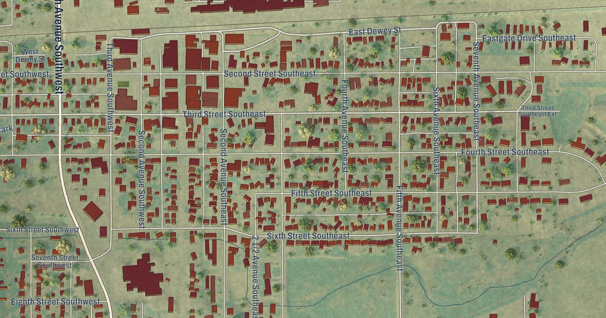
A detailed map of Rugby, North Dakota, showing every building in its true location, the roads by name, and shaded topographical relief.
Read More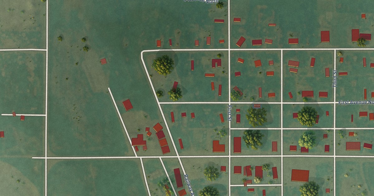
A detailed map of Selfridge, North Dakota, showing every building in its true location, the roads by name, and shaded topographical relief.
Read More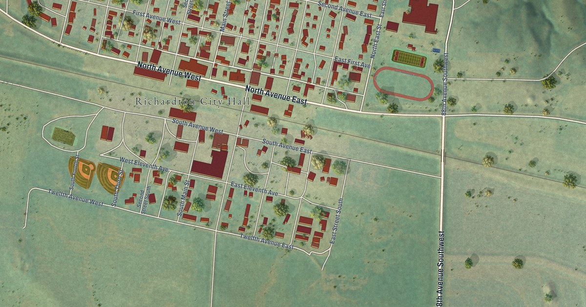
A detailed map of Richardton, North Dakota, showing every building in its true location, the roads by name, and shaded topographical relief.
Read More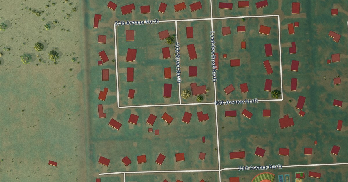
A detailed map of Reile’s Acres, North Dakota, showing every building in its true location, the roads by name, and shaded topographical relief.
Read More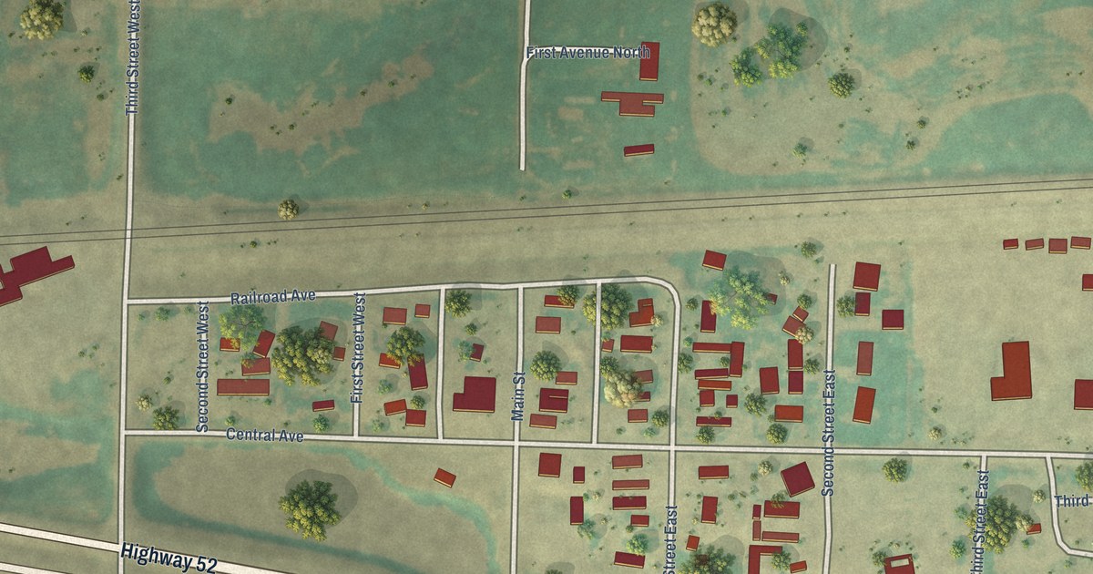
A detailed map of Ross, North Dakota, showing every building in its true location, the roads by name, and shaded topographical relief.
Read More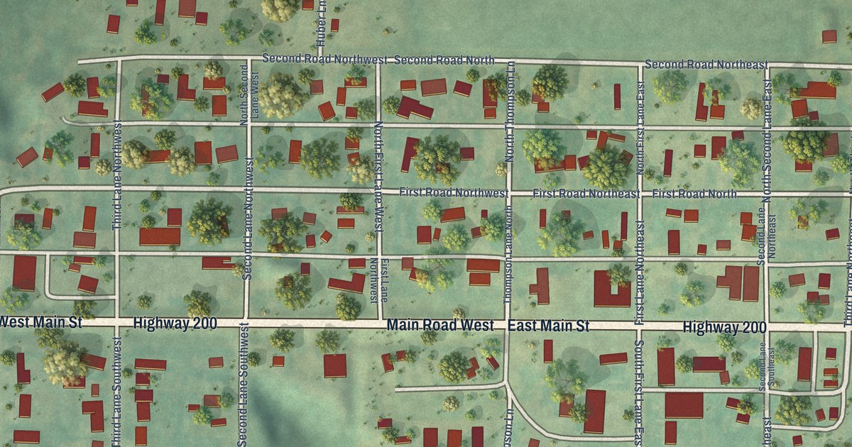
A detailed map of Pick City, North Dakota, showing every building in its true location, the roads by name, and shaded topographical relief.
Read More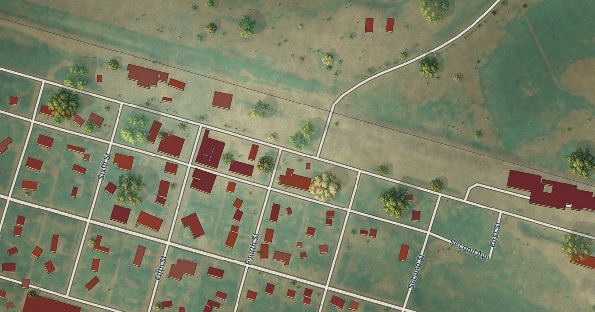
A detailed map of Petersburg, North Dakota, showing every building in its true location, the roads by name, and shaded topographical relief.
Read More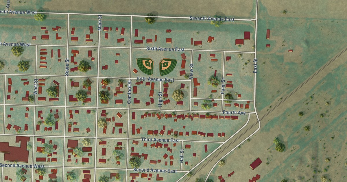
A detailed map of Ray, North Dakota, showing every building in its true location, the roads by name, and shaded topographical relief.
Read More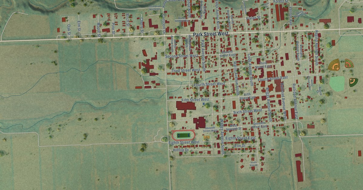
A detailed map of Park River, North Dakota, showing every building in its true location, the roads by name, and shaded topographical relief.
Read More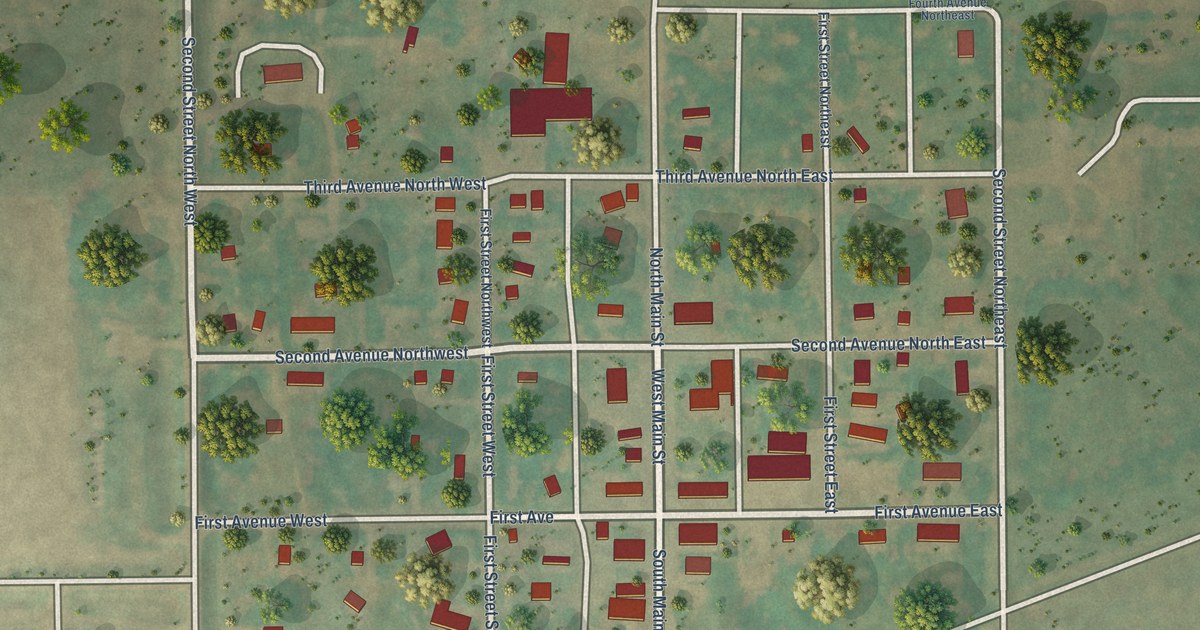
A detailed map of Pettibone, North Dakota, showing every building in its true location, the roads by name, and shaded topographical relief.
Read More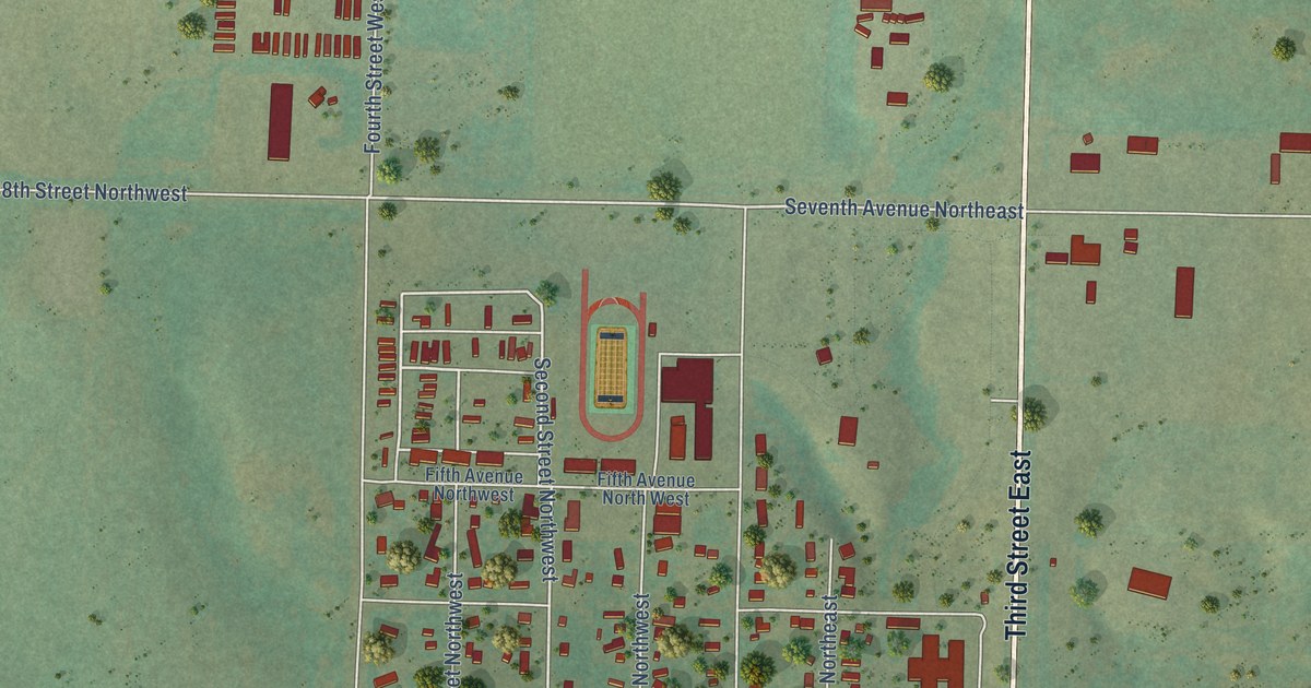
A detailed map of Parshall, North Dakota, showing every building in its true location, the roads by name, and shaded topographical relief.
Read More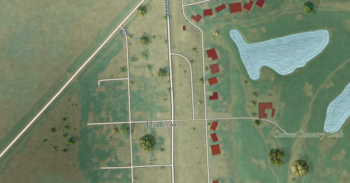
A detailed map of Oxbow, North Dakota, showing every building in its true location, the roads by name, and shaded topographical relief.
Read More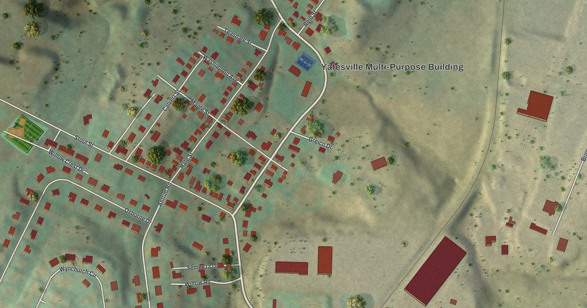
A detailed map of Yatesville, Pennsylvania, showing every building in its true location, the roads by name, and shaded topographical relief.
Read More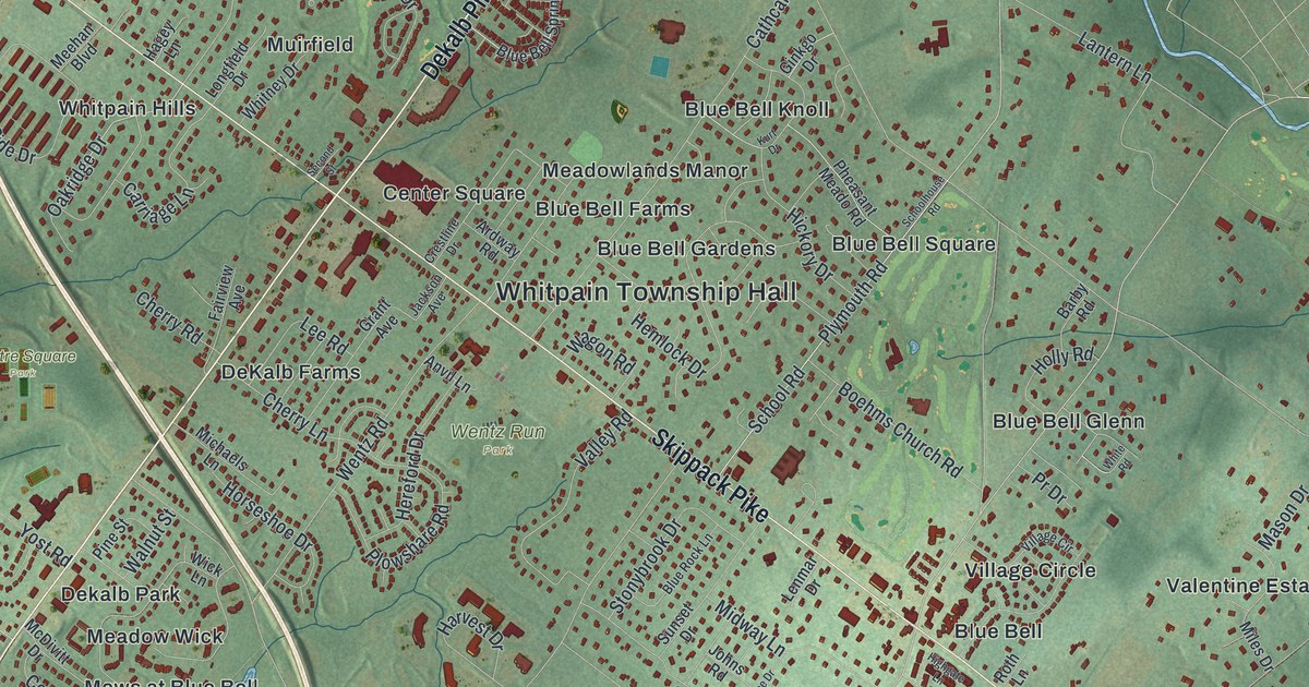
A detailed map of Whitpain, Pennsylvania, showing every building in its true location, the roads by name, and shaded topographical relief.
Read More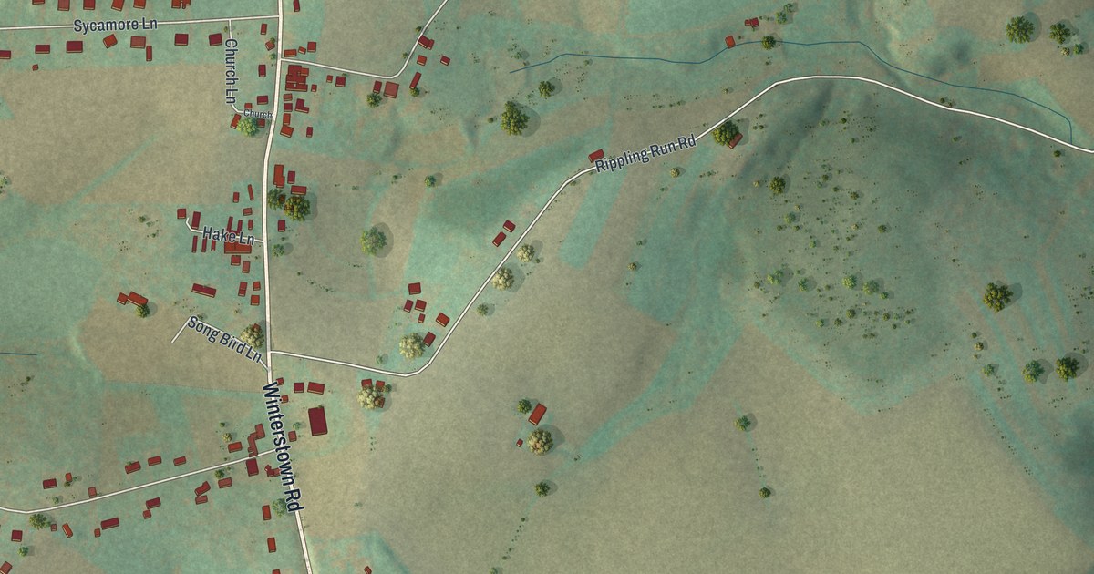
A detailed map of Winterstown, Pennsylvania, showing every building in its true location, the roads by name, and shaded topographical relief.
Read More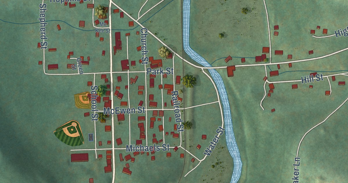
A detailed map of Westover, Pennsylvania, showing every building in its true location, the roads by name, and shaded topographical relief.
Read More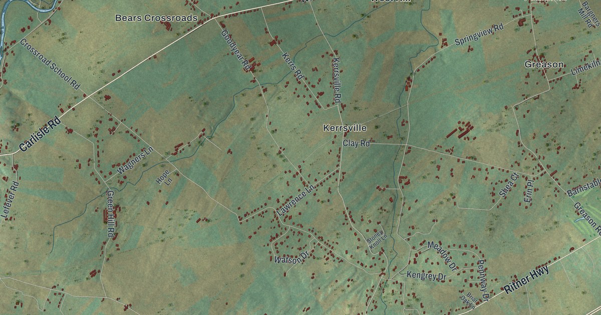
A detailed map of West Pennsboro, Pennsylvania, showing every building in its true location, the roads by name, and shaded topographical relief.
Read More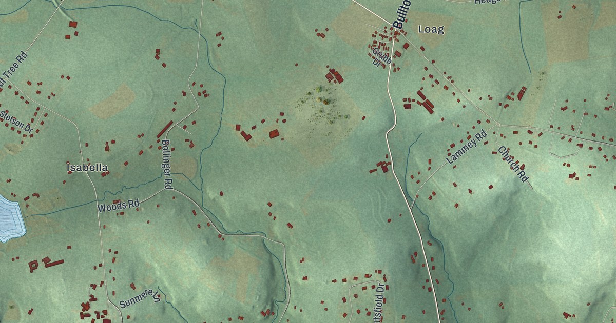
A detailed map of West Nantmeal, Pennsylvania, showing every building in its true location, the roads by name, and shaded topographical relief.
Read More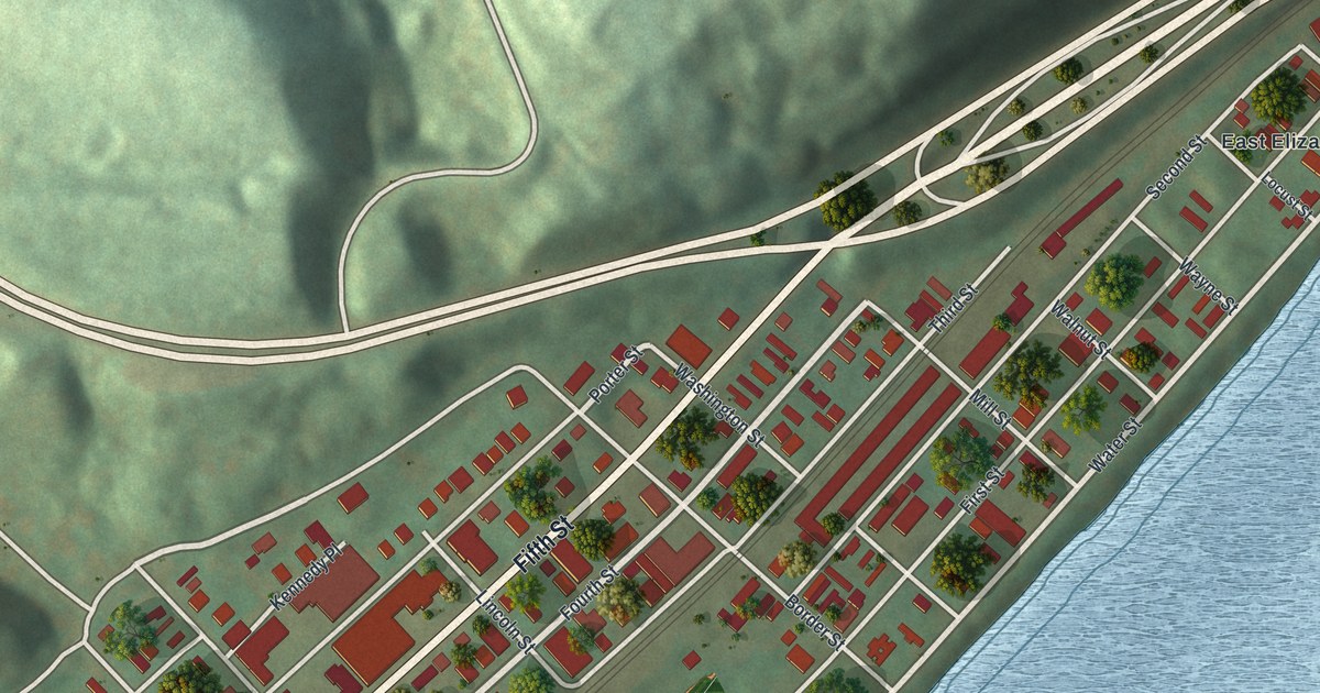
A detailed map of West Elizabeth, Pennsylvania, showing every building in its true location, the roads by name, and shaded topographical relief.
Read More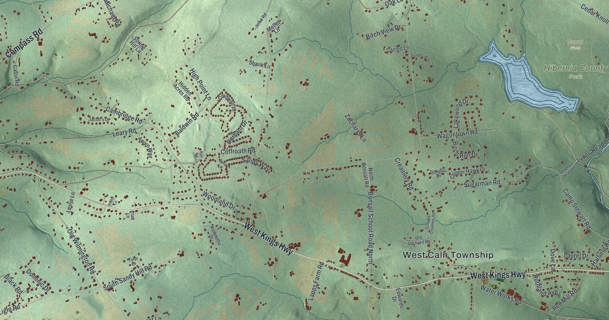
A detailed map of West Caln, Pennsylvania, showing every building in its true location, the roads by name, and shaded topographical relief.
Read More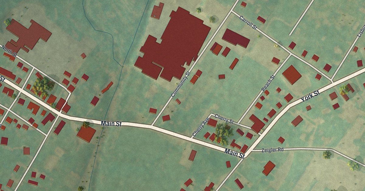
A detailed map of Wellsville, Pennsylvania, showing every building in its true location, the roads by name, and shaded topographical relief.
Read More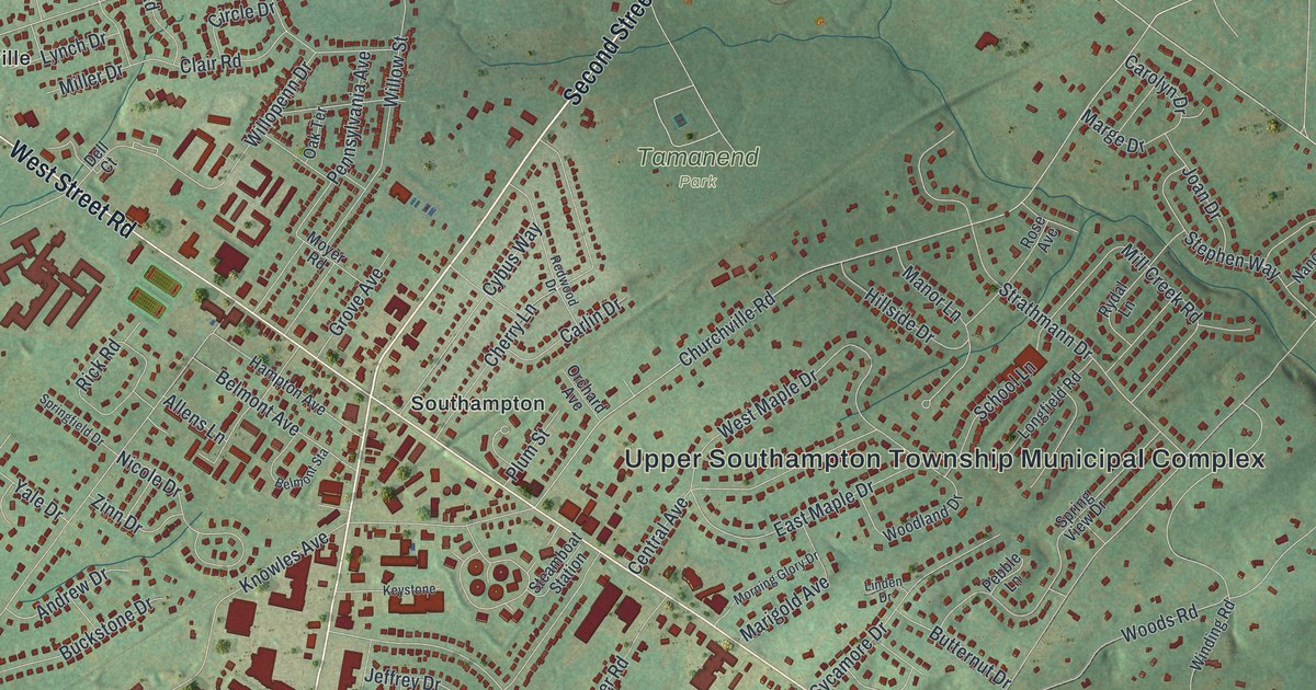
A detailed map of Upper Southampton, Pennsylvania, showing every building in its true location, the roads by name, and shaded topographical relief.
Read More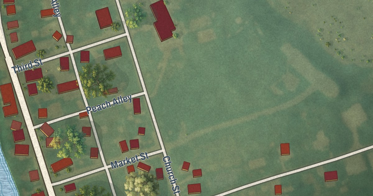
A detailed map of Washingtonville, Pennsylvania, showing every building in its true location, the roads by name, and shaded topographical relief.
Read More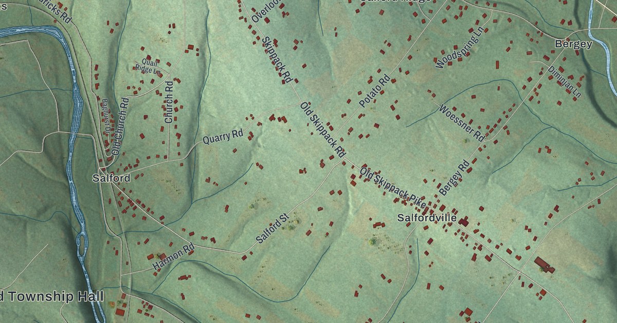
A detailed map of Upper Salford, Pennsylvania, showing every building in its true location, the roads by name, and shaded topographical relief.
Read More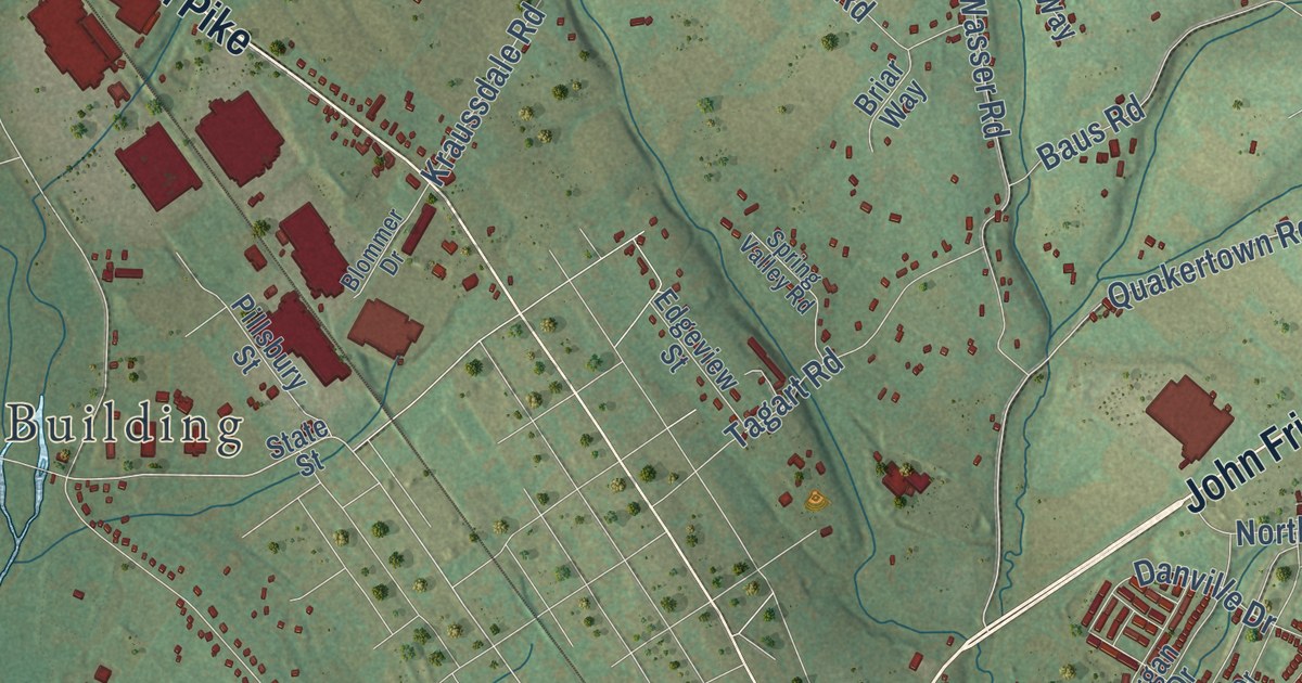
A detailed map of Upper Hanover, Pennsylvania, showing every building in its true location, the roads by name, and shaded topographical relief.
Read More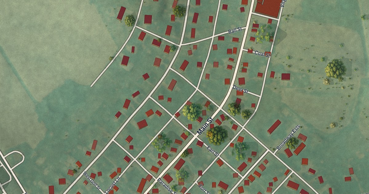
A detailed map of Turbotville, Pennsylvania, showing every building in its true location, the roads by name, and shaded topographical relief.
Read More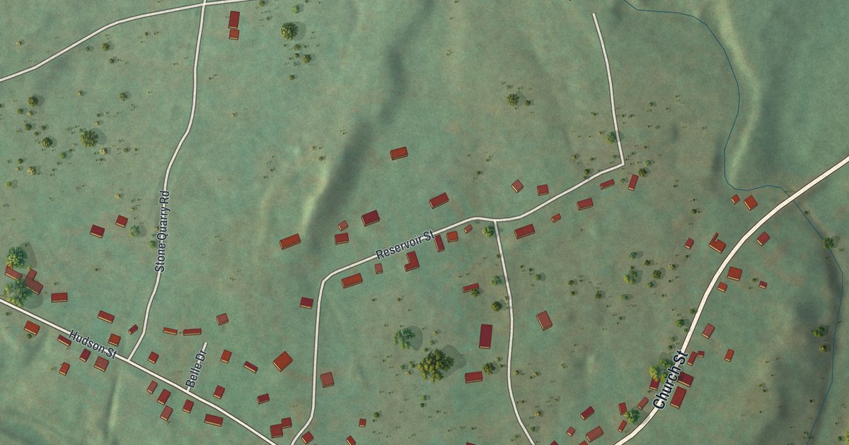
A detailed map of Three Springs, Pennsylvania, showing every building in its true location, the roads by name, and shaded topographical relief.
Read More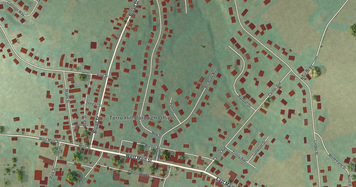
A detailed map of Terre Hill, Pennsylvania, showing every building in its true location, the roads by name, and shaded topographical relief.
Read More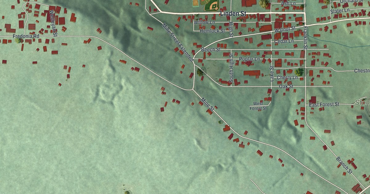
A detailed map of Stoneboro, Pennsylvania, showing every building in its true location, the roads by name, and shaded topographical relief.
Read More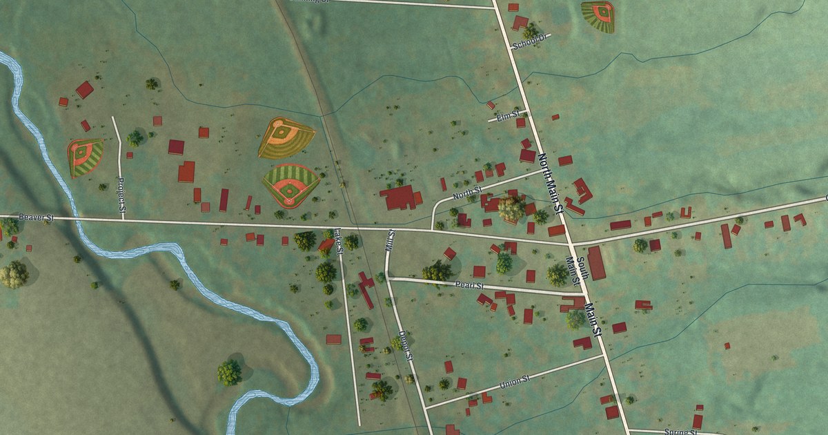
A detailed map of Springboro, Pennsylvania, showing every building in its true location, the roads by name, and shaded topographical relief.
Read More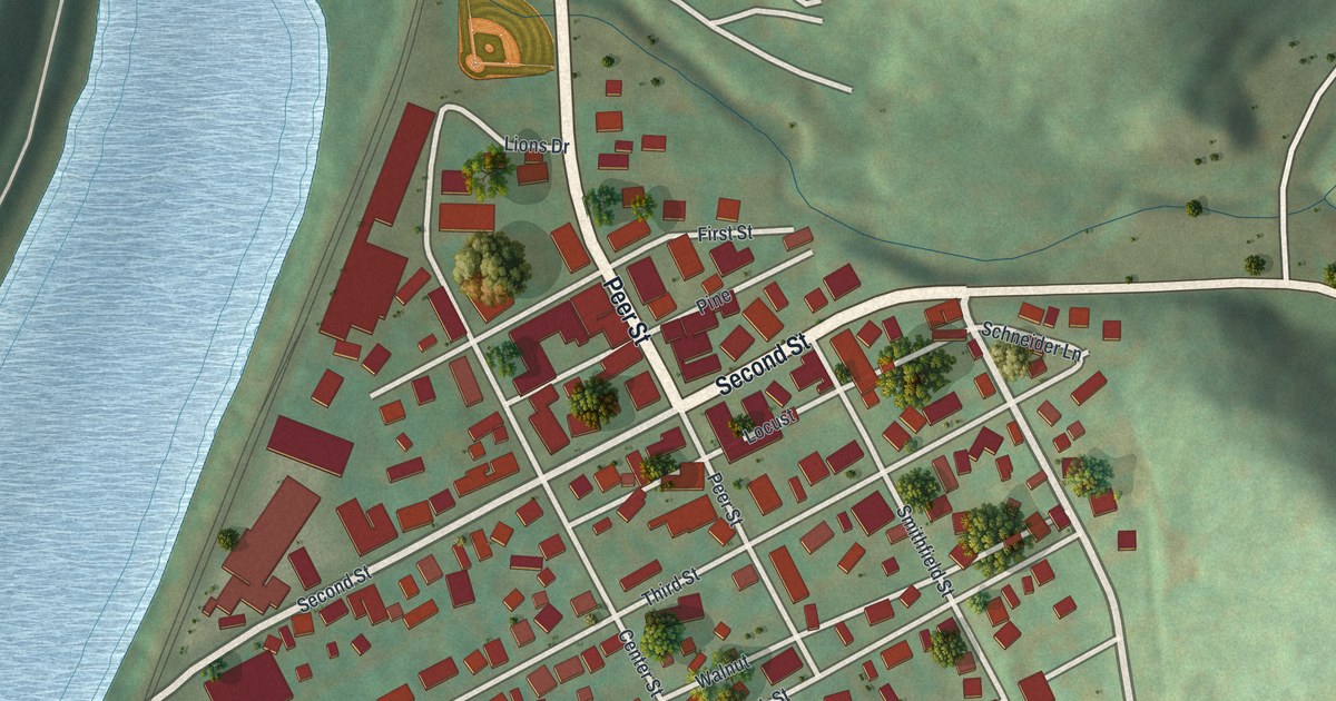
A detailed map of Smithton, Pennsylvania, showing every building in its true location, the roads by name, and shaded topographical relief.
Read More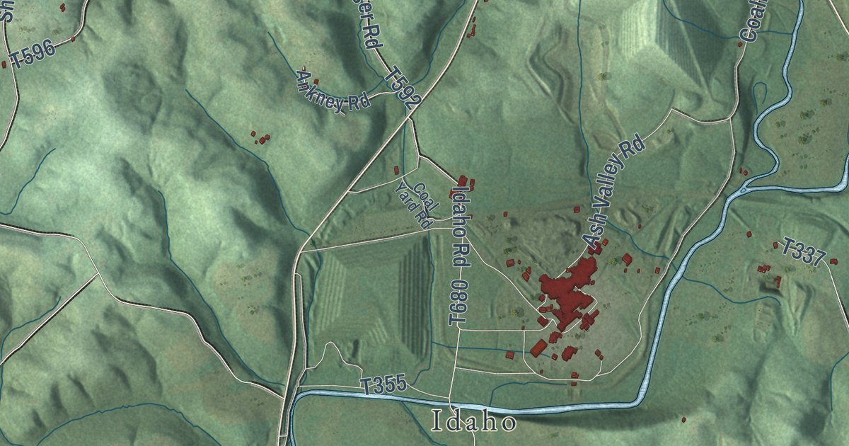
A detailed map of Plumcreek, Pennsylvania, showing every building in its true location, the roads by name, and shaded topographical relief.
Read More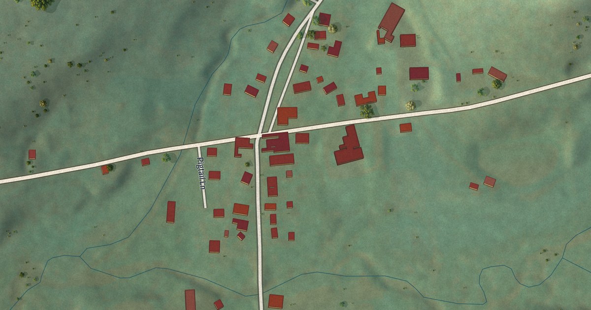
A detailed map of Roseville, Pennsylvania, showing every building in its true location, the roads by name, and shaded topographical relief.
Read More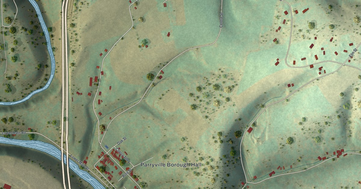
A detailed map of Parryville, Pennsylvania, showing every building in its true location, the roads by name, and shaded topographical relief.
Read More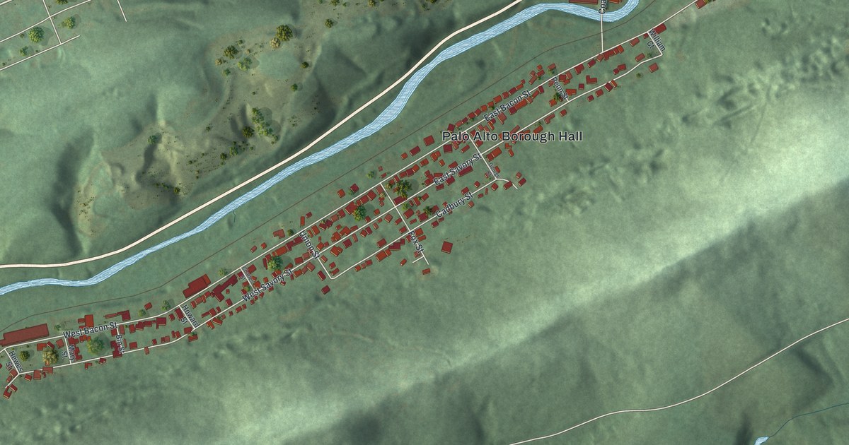
A detailed map of Palo Alto, Pennsylvania, showing every building in its true location, the roads by name, and shaded topographical relief.
Read More















